When asked by Kristine 8 months ago what we should do for my 40th birthday, I had an idea in the back of my mind to again attempt the one mountain I’ve been turned back on in my life: Gannett Peak, Wyoming’s state high point at 13,804. Gannett is literally only about 30′ higher than the more famous Grand Teton in Jackson Hole, but in my opinion Gannett is a different beast altogether given how far it is to just get to the base of the mountain to make a summit attempt. For my birthday when I was in 10th grade while my family was out in Jackson Hole, WY for 2 weeks one summer in the 90s, I was given a guided climb with Exum Mountain Guides to Gannett by my parents. While I was the youngest in the group of 5 clients by far, it was a wonderful mountaineering experience, especially since I shared a tent with a 69 year old man named Reinhold for a week. And, no he wasn’t Reinhold Messner 🙂 Reinhold Ulrich was a doctor from LA. Unfortunately, on summit day, we turned around at Dinwoody Pass, commonly referred to now as Bonney Pass, at around 13,000′ due to deteriorating weather. It was a bit heartbreaking to turn around, but we all understood why. Our guide, Susie, made a good decision. For this guided trip, what was super nice was that we had pack horses and a wrangler shuttle all of our heavy gear the 18 miles into and out of Upper Titcomb Basin. This was a monster help to us and really made the trip very enjoyable and non-stressful except for summit day.
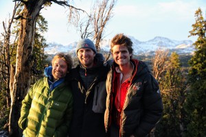
Nonetheless, I’ve always wanted to go back for another attempt. So, what better way than to bring in my 40th birthday than to try Gannett again 25 years later from my first attempt. Its hard to believe for me that so many years have passed between attempts. My idea was to have a nice leisurely stroll into Upper Titcomb B asin with the use of pack horses for our heavy gear, but it became apparent that because of the 400% of average annual snowfall that occurred in the Wind River Range this winter this was to become more of an adventure than any of us anticipated. With access to the Elkhart trailhead just opening up in early-mid June and given we were scheduled to drive up to Pinedale on my birthday, June 24, we were looking at a lot of snow left in the Winds and on the lengthy and convoluted approach. I had originally planned this birthday week so we could avoid the brunt of the hoards of mosquitoes that inhabit the Winds yet still take advantage of a dry approach with pack horses, which is usually the case at the end of June in typical snowfall years. Well, not this year. We had a lot of work cut out for us with heavy packs and route-finding from the trailhead to our high camp. I had planned to bring some rock gear as well for some alpine rock if we were to have horses, but we left it all at home given everything would be on our backs. Sure, it would have been ideal to postpone this a month, but with Rob and Kevin’s flights already booked and Kristine’s folks already set up to come out for a week to stay with Sawyer and the dogs, it was just not practical nor considerate to move the trip. We were all still in and wanted to give it a shot. Our crew consisted of me, Kristine, J Weingast, Rob Casserley, Kevin Vann, Billy Larson, Mike Santoro, and last but not smallest, Ryan Marsters. Despite having summitted Everest 10 times and a few other 8000ers, Rob had never gotten in the good ole Rocky Mountain wilderness. And, despite having only done the 7 Summits (Kevin climbed Vinson in Antarctica with Kristine and myself for all of our final of the 7 Summits), Kevin was more than excited and decided to postponed his Carstenz Pyramid trip this fall to come join us in the Wind River Range. And, we got to celebrate Kevin’s 58th birthday on the trip as well. All the rest of the crew are just shameless peak baggers and climbers, but they are good pals of mine and us Chalks and we’ve all done many adventures together. It was a wonderful crew of eight. Kristine’s parents, Ken & Dianne, were so wonderful to come out and stay at our home in Edwards for a week to be with Sawyer, Rainie, & Kona. It was so extremely hard for me to leave Rainie as she has seemingly been on the decline for awhile now and I didn’t want it to get worse with me leaving her. But, it was the best thing to do. She would want me to go and have fun for my 40th. I think she was trying to get me to understand that she would be alright until I got back. Yes, I worried extensively about her, but was able to shut it off for a majority of the trip except when we were in communication with Ken & Dianne via our satellite phone.
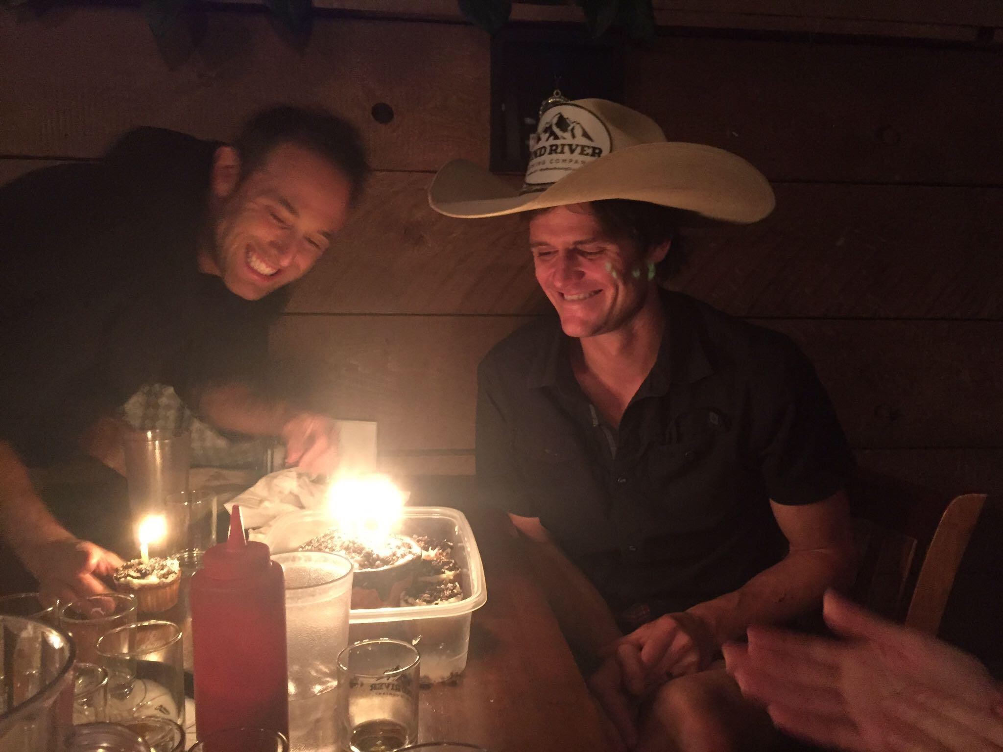
So, Marsters picked up Rob & Kev at DIA while Kristine, Billy, J, & myself drove up from Edwards. Mikey had a wedding and would end up driving up solo late that Saturday night and meet us at the Elkhart trailhead in the morning. That Saturday evening we visited the Wind River Brewing Company for some dinner and some birthday cupcakes and a giant cupcake for me made by my wonderful wife. It was a great birthday dinner with all of these awesome folks.

The Wind River Brewing folks even let me wear their cowboy hat
We all then caravanned to the trailhead and slept out under the stars in the very empty parking lot. Mikey showed up promptly at 9:30am and we packed and prepped for what seemed like a long time. Nonetheless, we were in no hurry. Our first day was to just make progress for as long as we felt like it. Here is a pretty nice route map of the entire approach and climb of Gannett from the west:
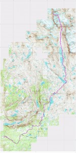
Click to enlarge. I think the whole route is maybe 42 miles RT
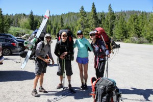
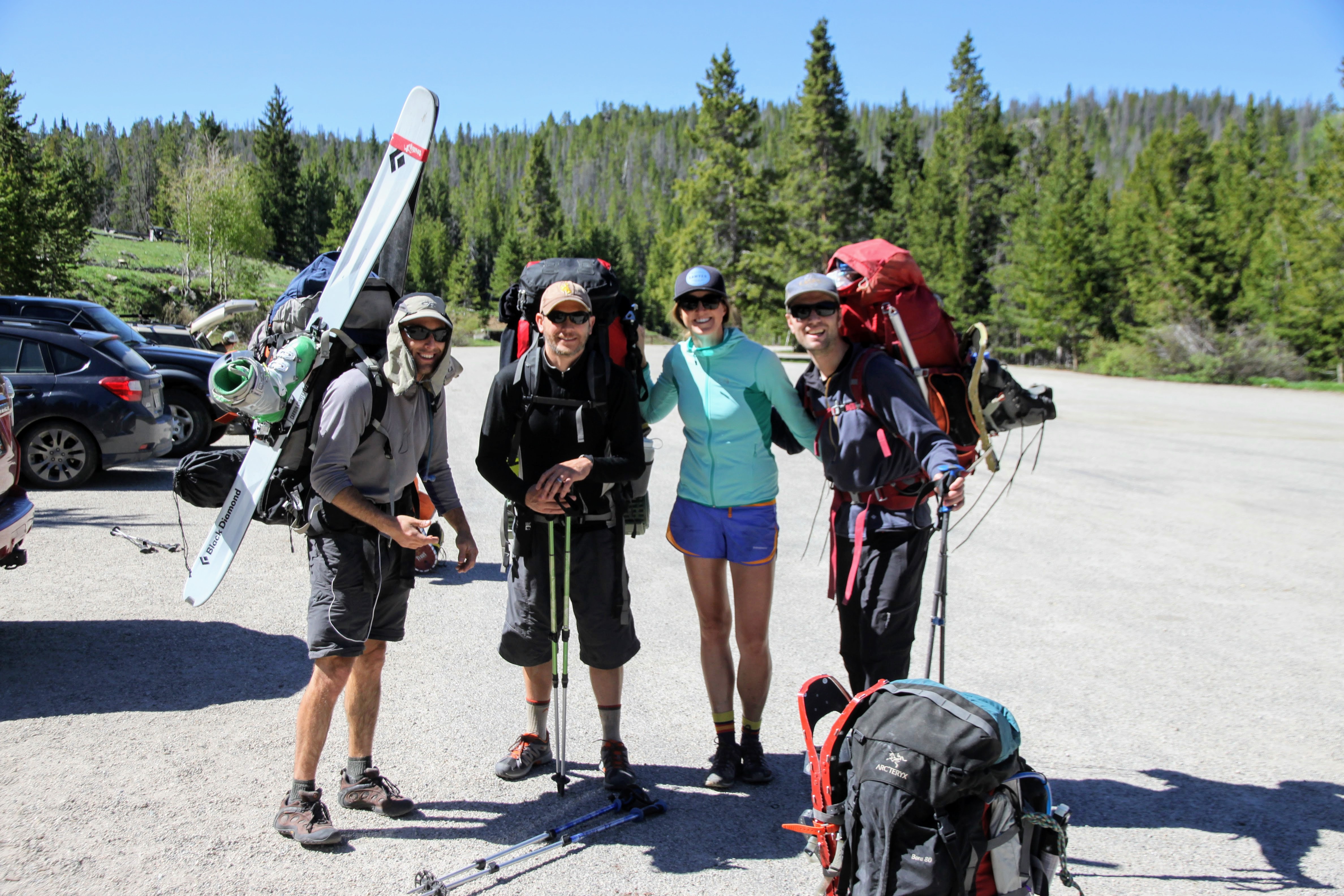
J, Billy, Kristine, & Mikey at the trailhead
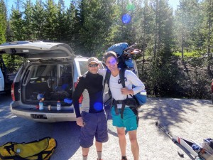
Me and Wild Bill
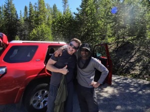
Kev & J. The mosquitoes were actually pretty bad at the trailhead which motivated us to hit the trail and keep moving
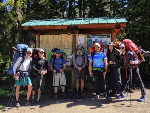
The crew minus Kristine who was taking the pic
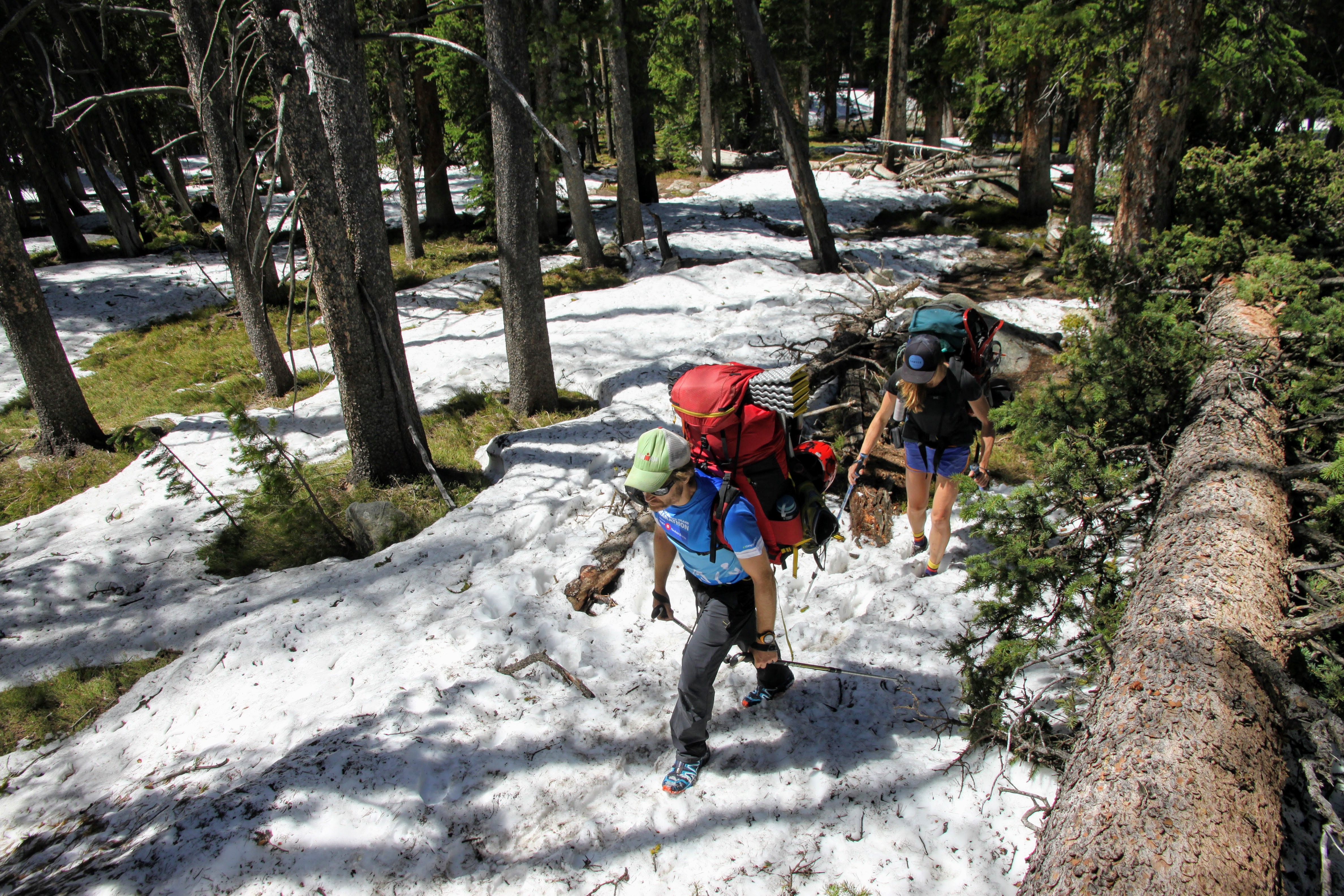
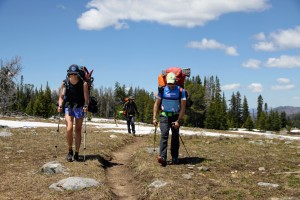
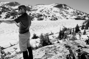
A grizzled, older Pinedale resident showed up with his son and daughter-in law, I believe, and asked where we were from and what the heck we were doing here. We replied that we were from Colorado and going for Gannett. He said “we’ll glad to see ya come and we’ll be glad to see ya go. I hope you brought your snowshoes!” But, as soon as he found out that Billy was a Wyoming boy from Rawlins, he really took a liking to our crew. Thanks, Billy. We finally geared up and started hiking the dry trail before hitting snow patches only 1/2 mile up. Let the slow, tedious process of dealing with off and on snow patches begin.

Kristine & Rob traversing around downed trees on the Pole Creek trail
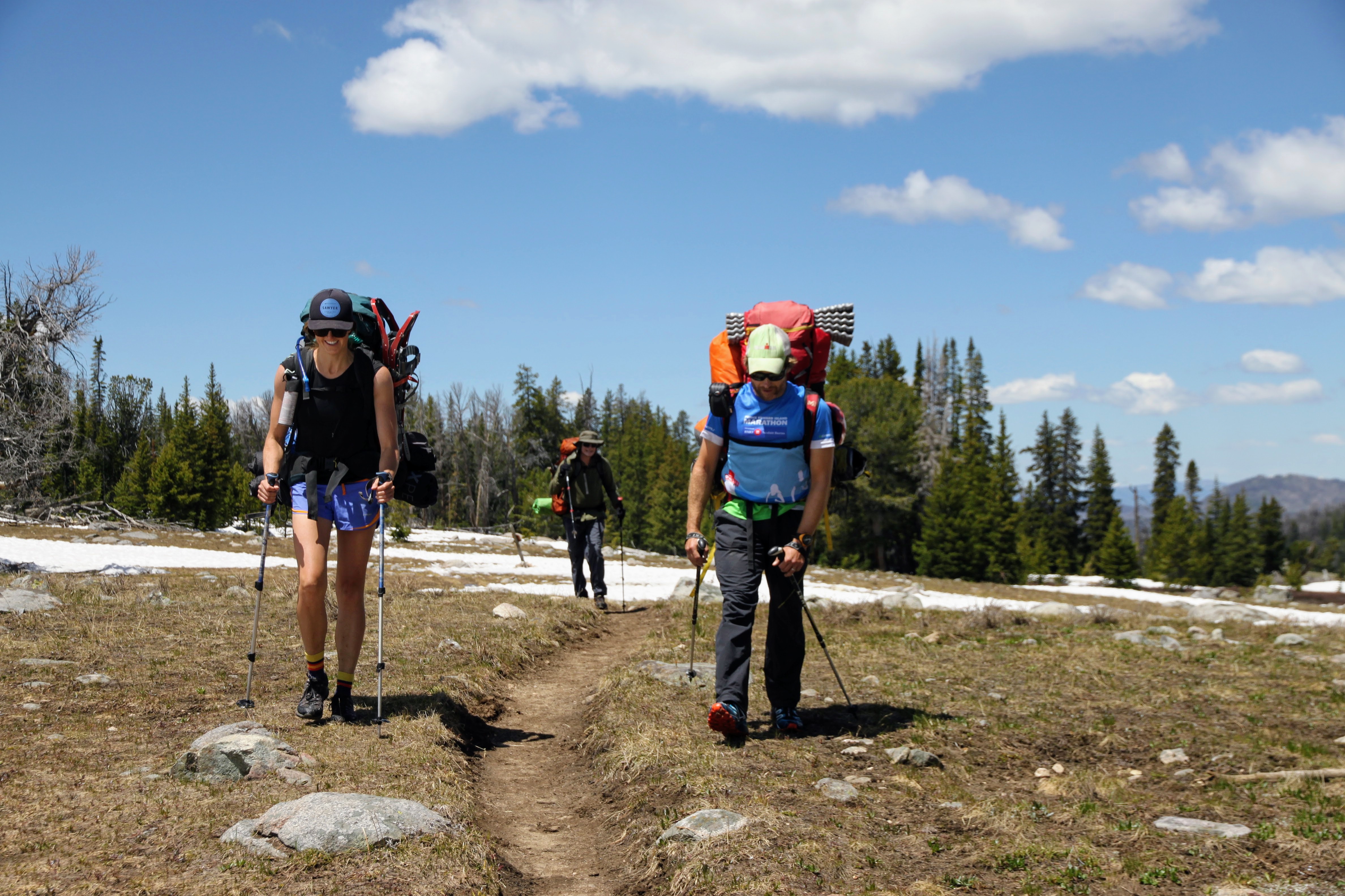
A nice dry section of trail out of the trees
Because of the snow covering the trail we took a slight detour down to Miller Lake, but realized we had made a mistake so Marsters got us back on course pretty fast. The scenic view area of Photographer’s point came around early afternoon and we decided to eat some lunch at this point 4.5 miles into the approach.
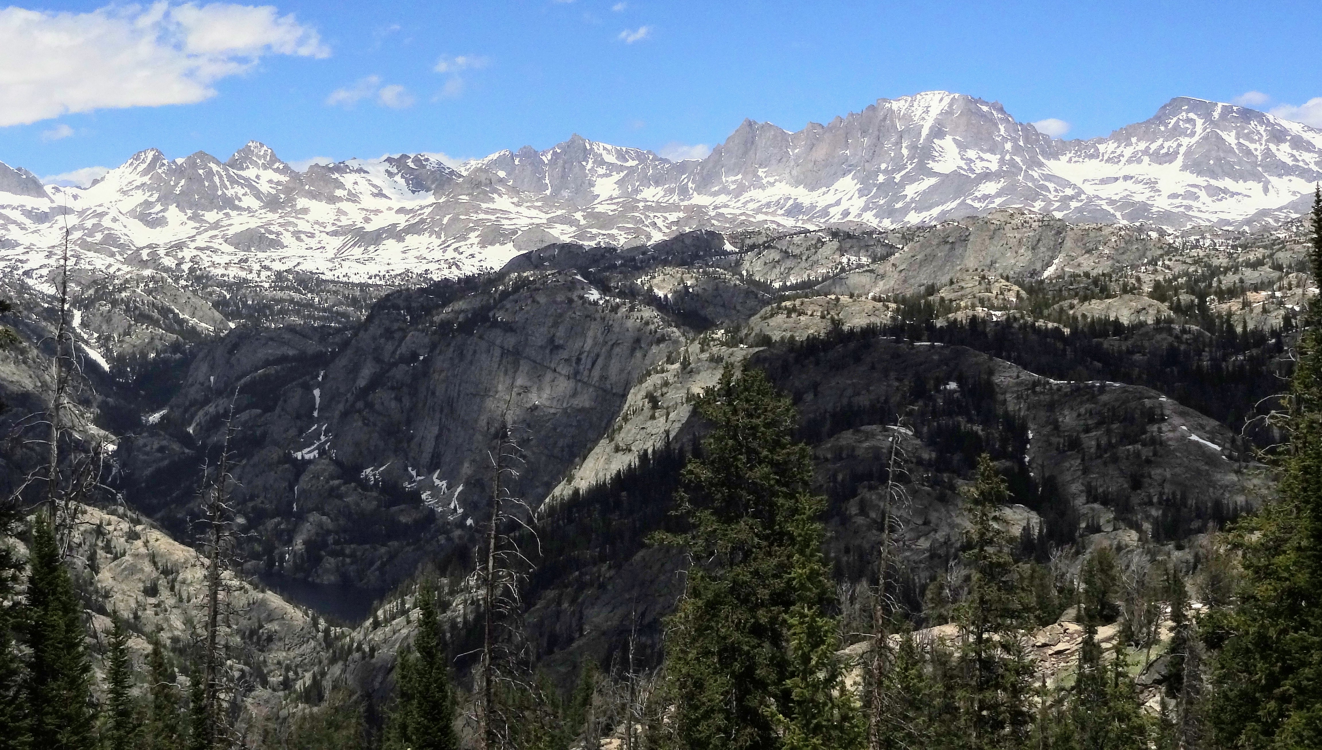
Approaching Photographer’s Point

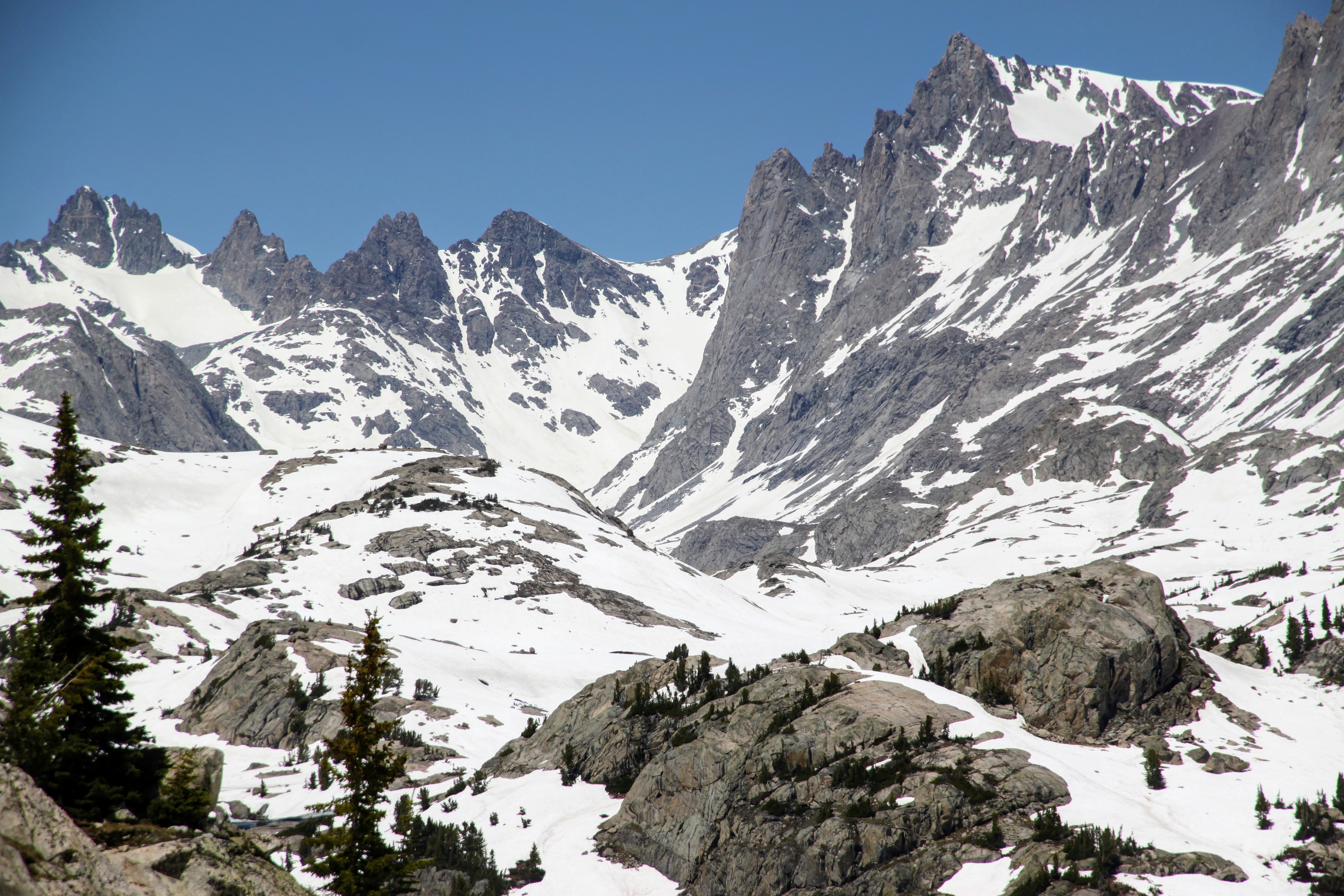
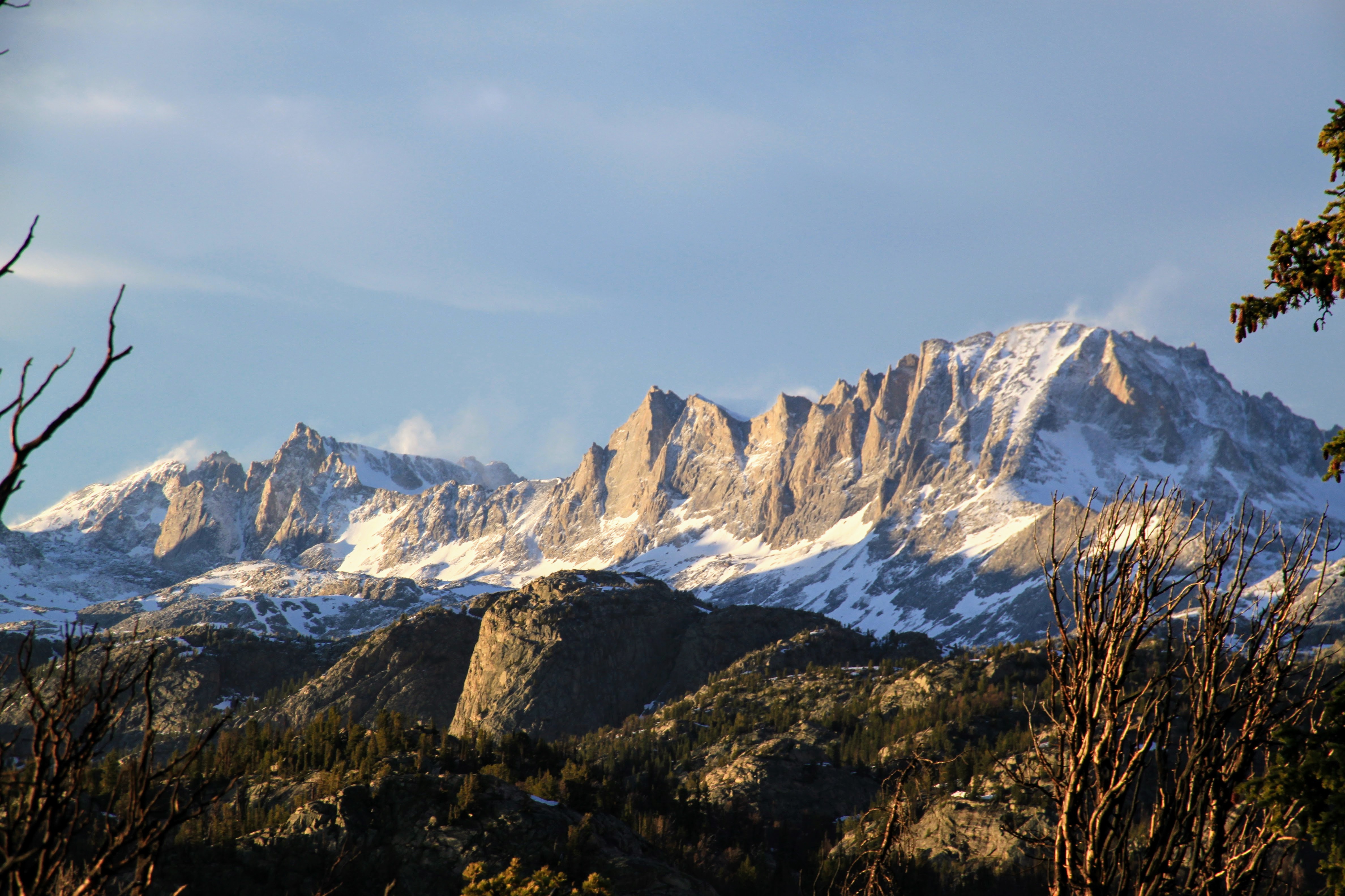
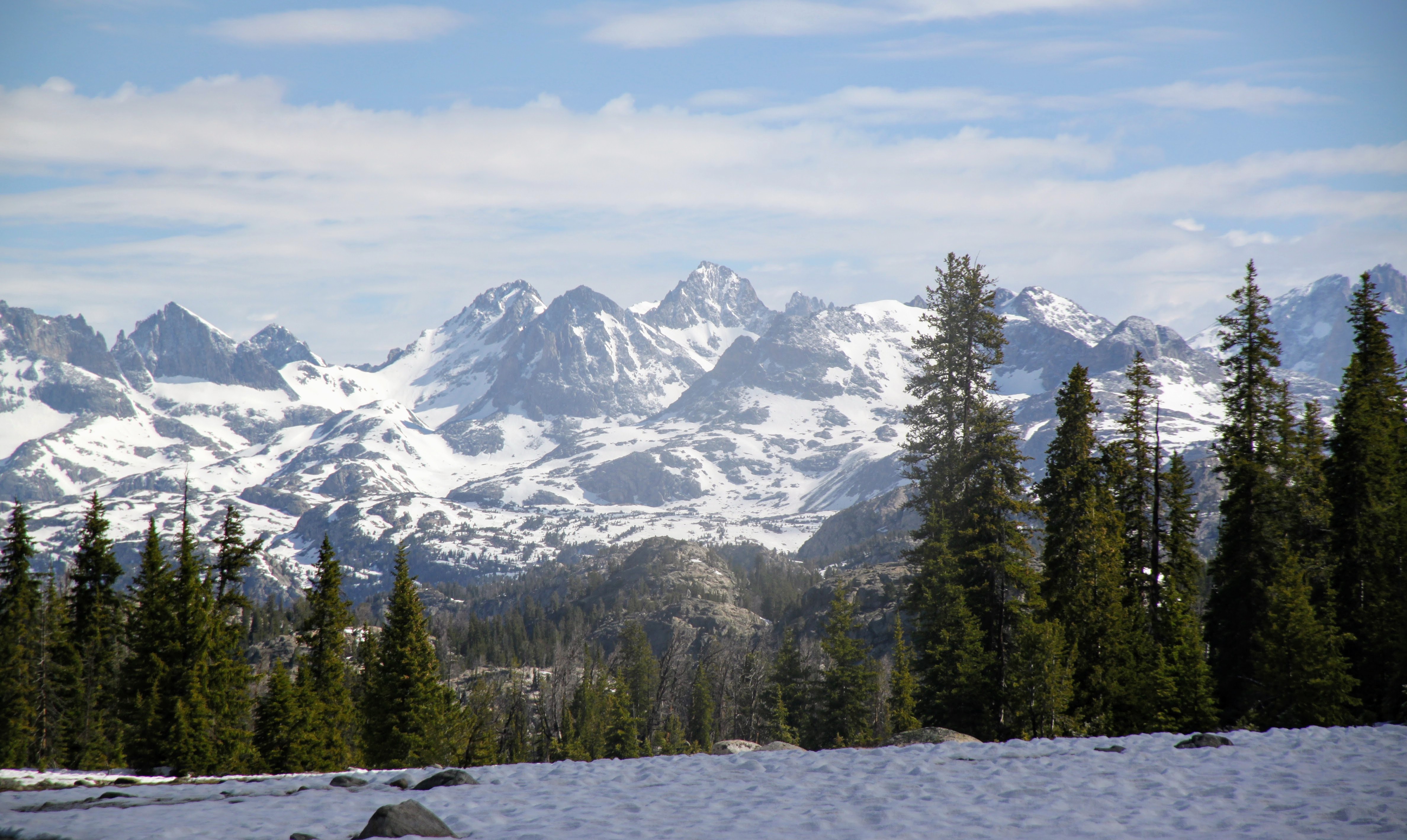
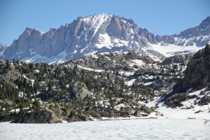
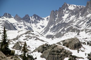
Fremont Peak (Wyoming’s 3rd highest and right of center) and the Winds as seen from Photographer’s Point. Still, a long way to get in there
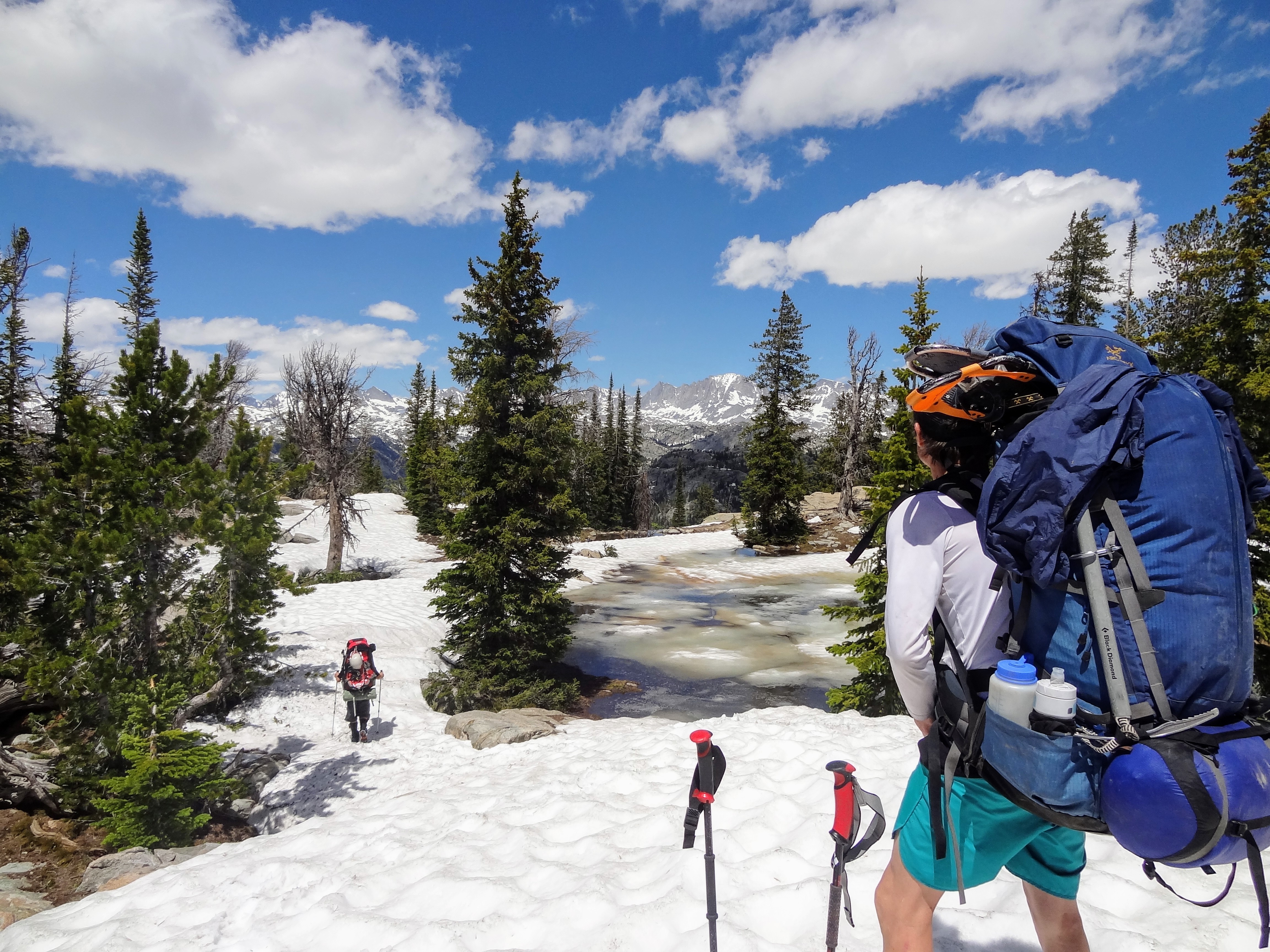
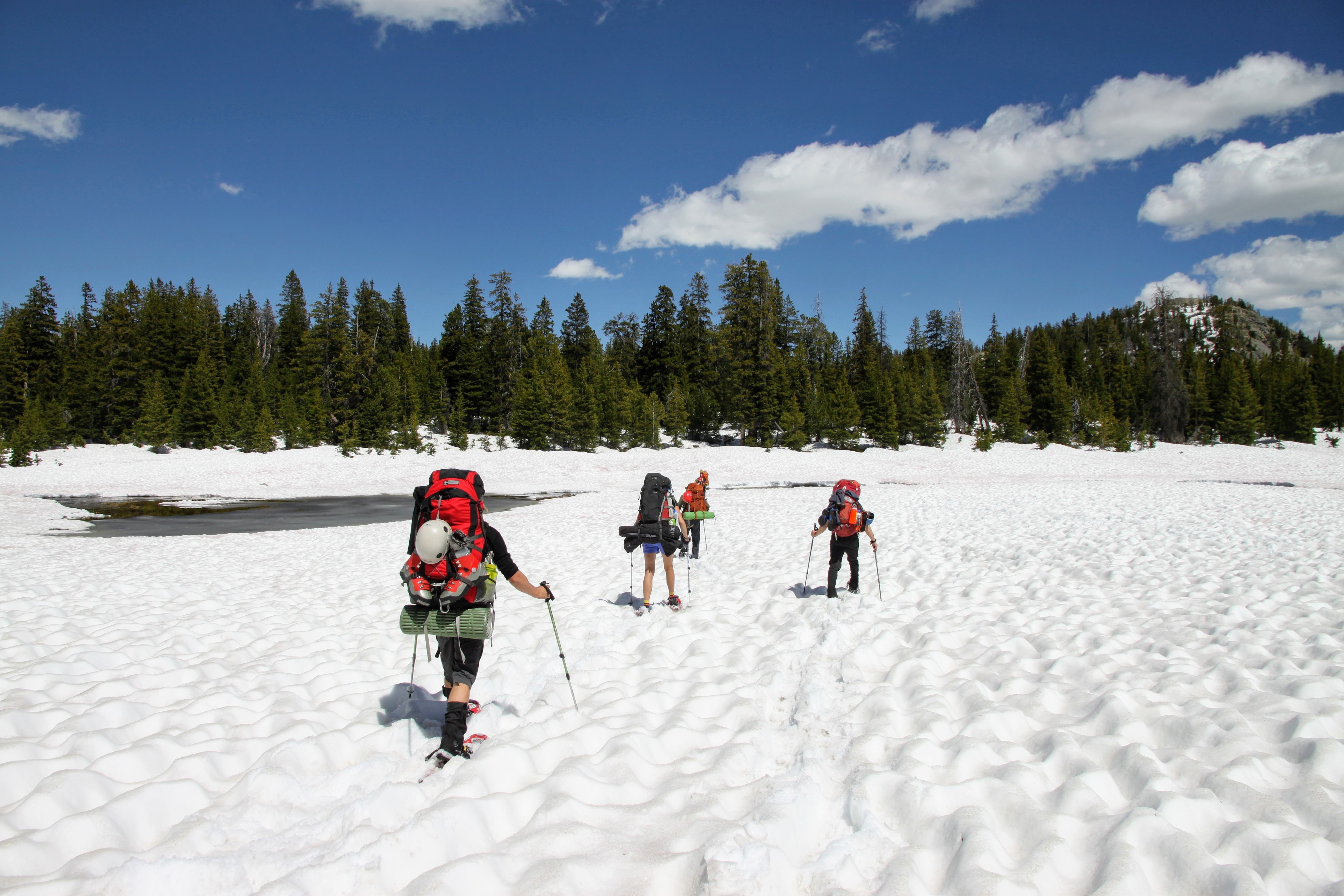
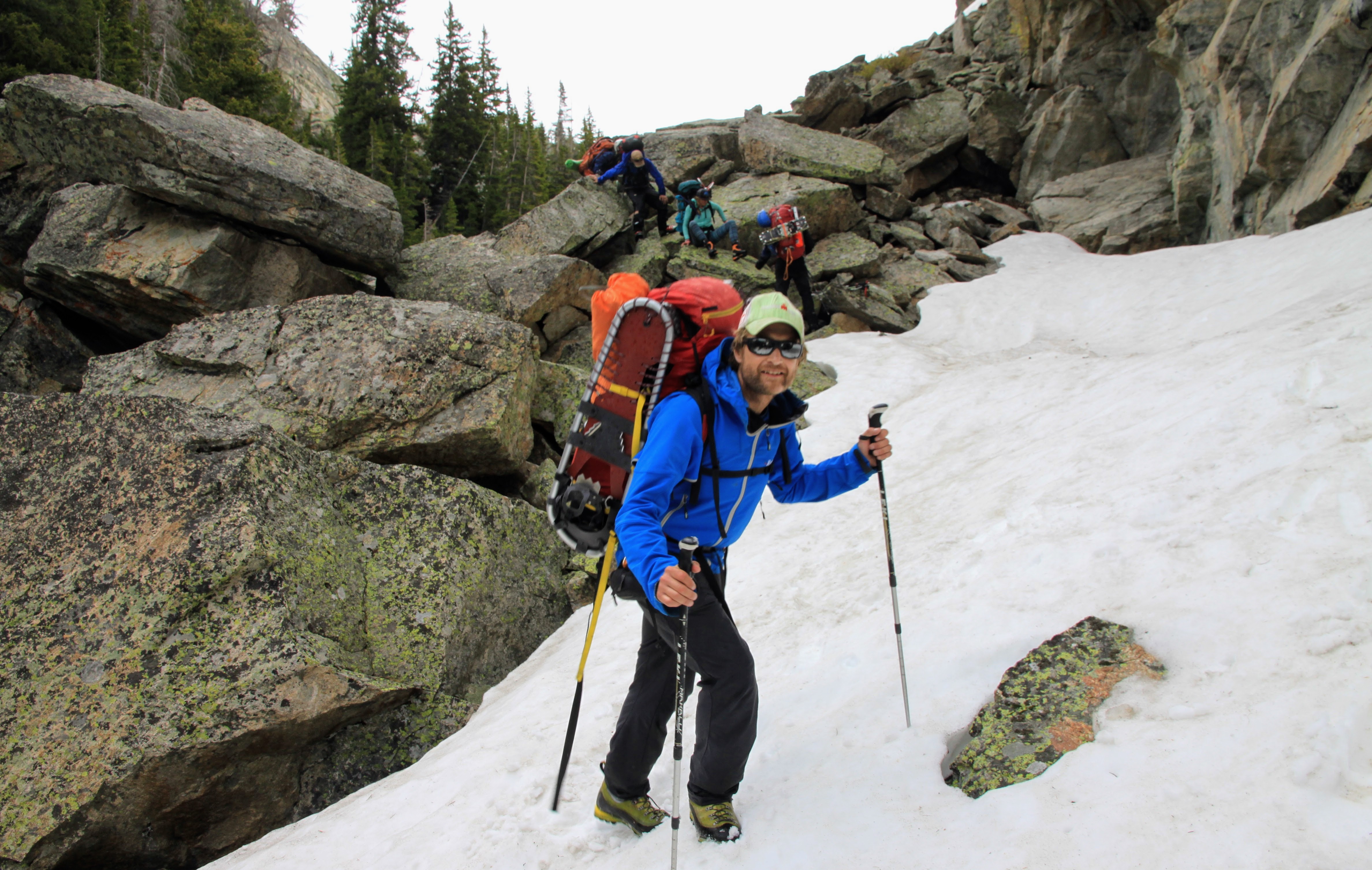
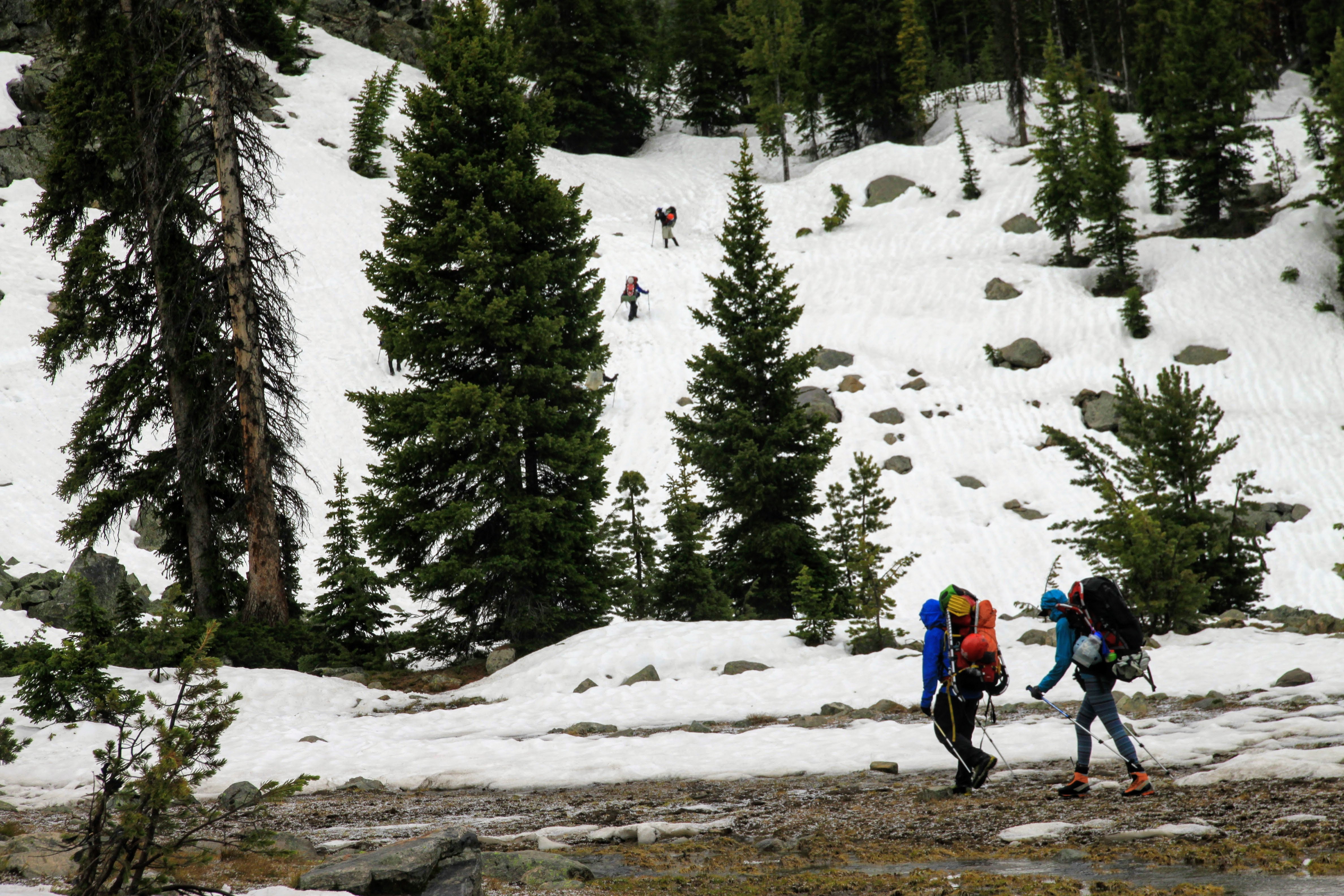
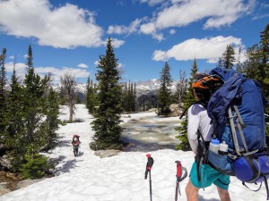
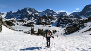
We eventually hit more consistent snow but remained in our trail runners as they were sort of already wet and it was super warm out. It was getting sloppy, however, but the snowshoes and skis remained on our packs.
Crossing the clearing en route to Eklund Lake
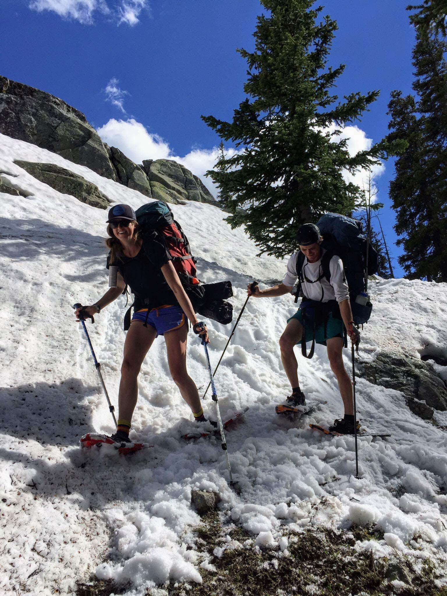
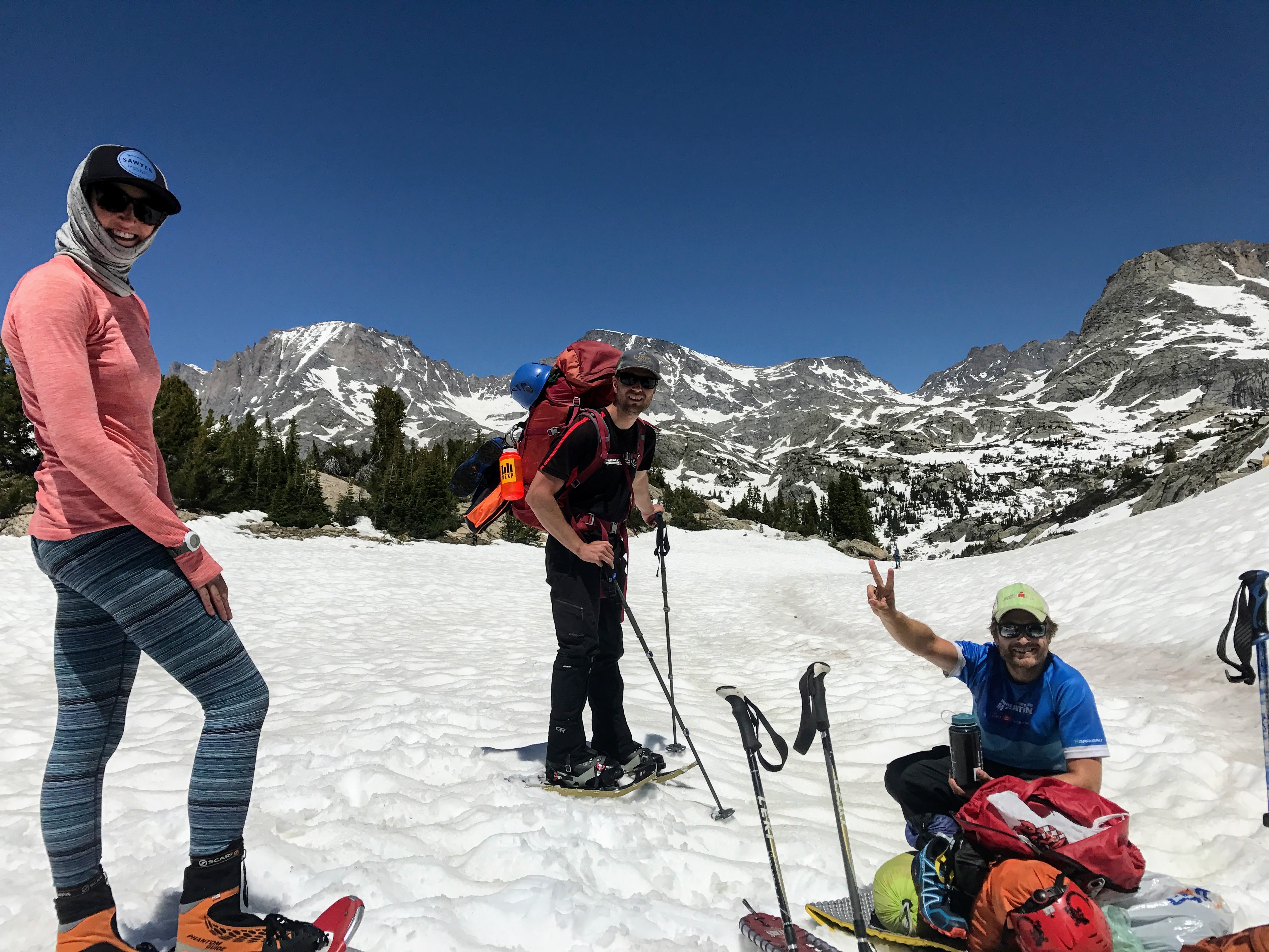
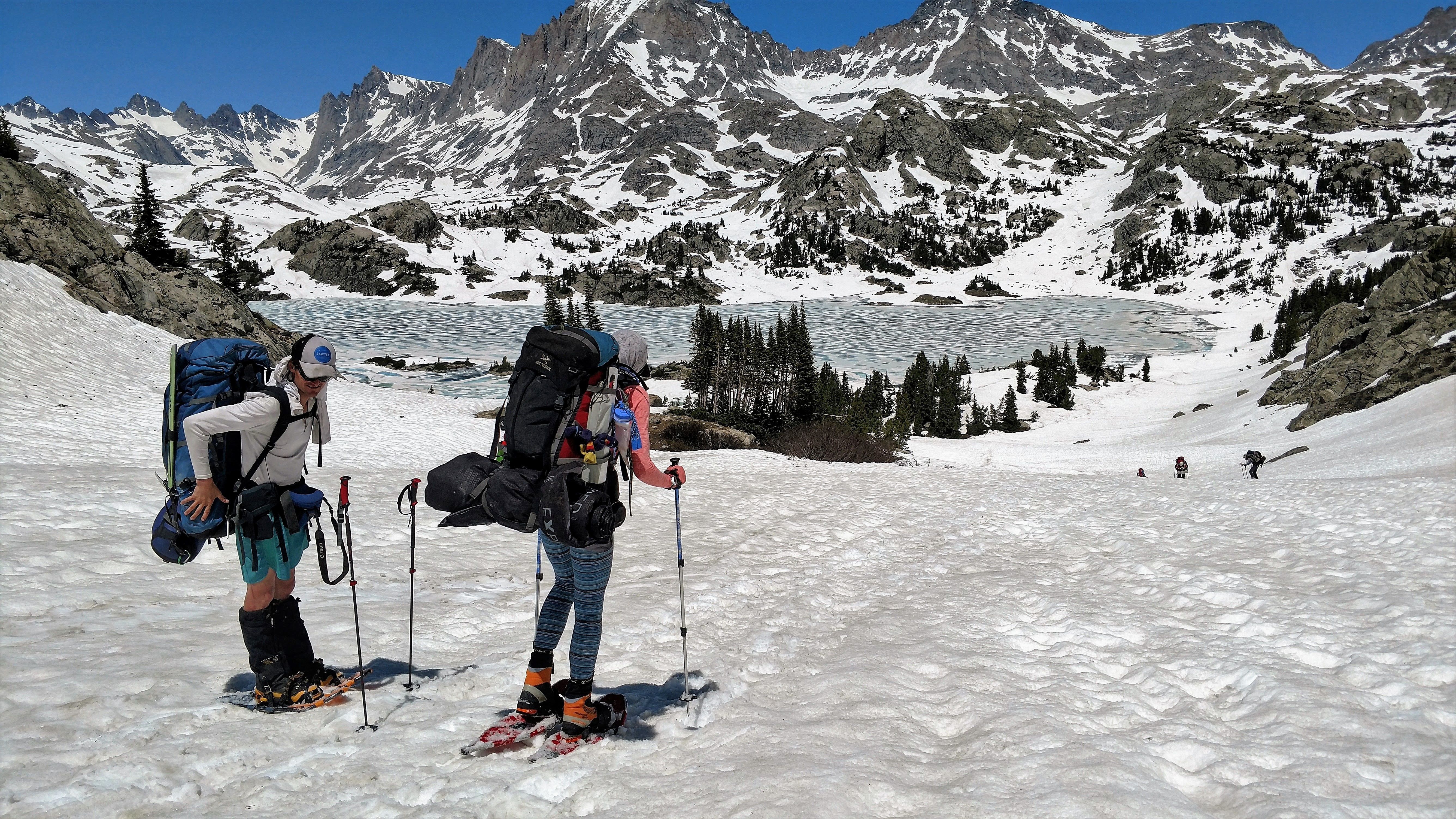
On the descent down to Barbara Lake, some of us decided to don the snowshoes to help with flotation.
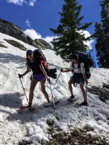
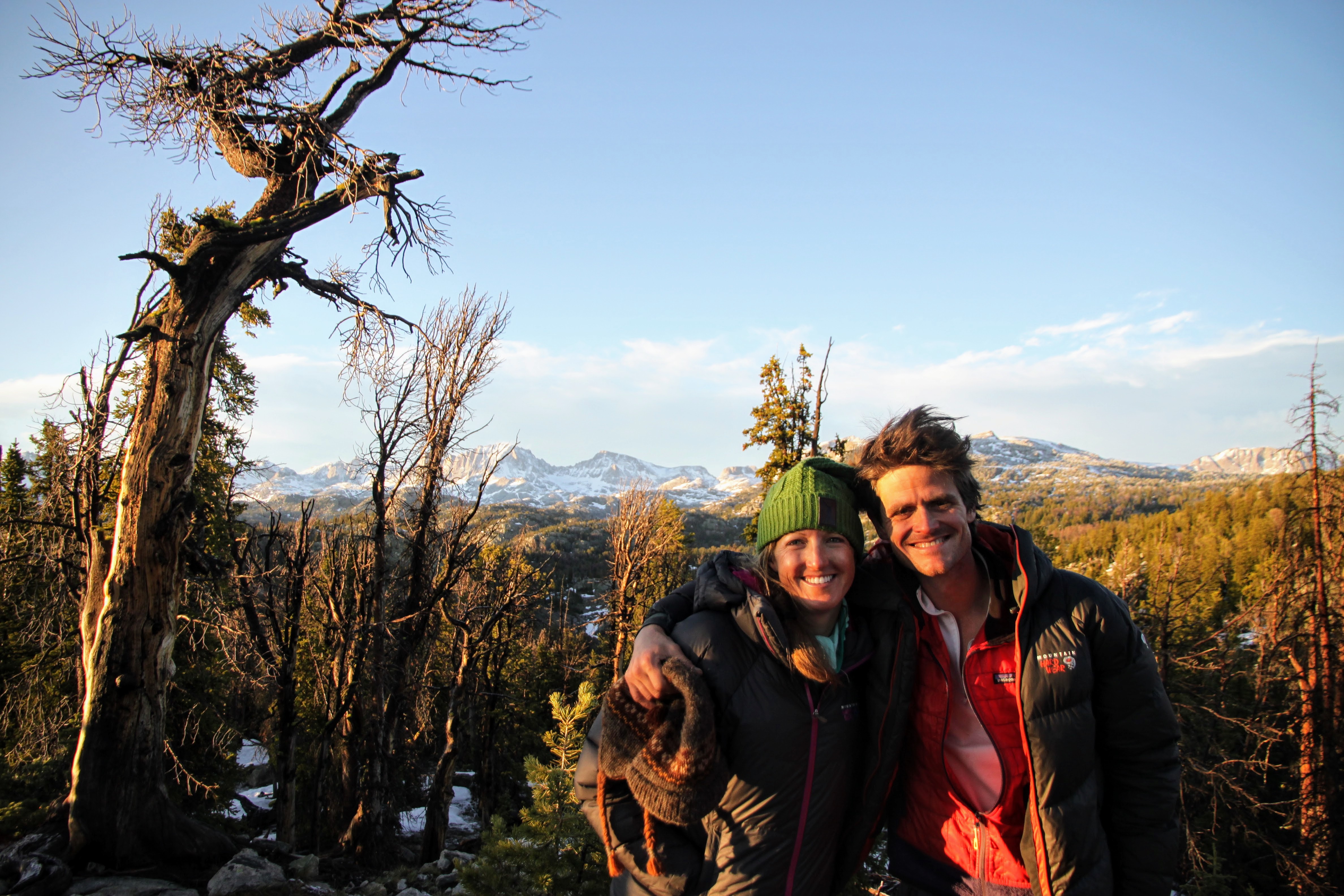
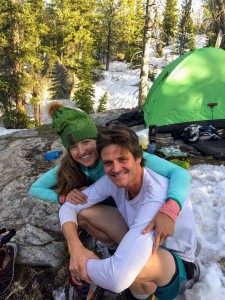
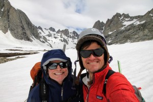
Kristine & I

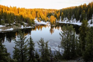
Barbara Lake
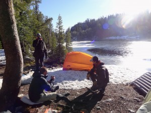
We were able to hit sections of dry trail from Barbara Lake to Hobbs Lake, which was a nice reprieve from the sloppy snow. Marsters and I were talking about how it would be nice to reach the north side of Hobbs Lake for a camp. We wouldn’t make Seneca Lake until after dark, which was fine, but would be nice to get on the other side of Hobbs Lake. He found a really cool campsite atop a 10′ high relatively flat rock that we dubbed “The Castle”. It was a perfect site and a bit elevated which made us feel better about a bear not zipping open our tents at night and saying hello.
Crossing the northern drainage creek from Hobbs Lake

“The Castle”
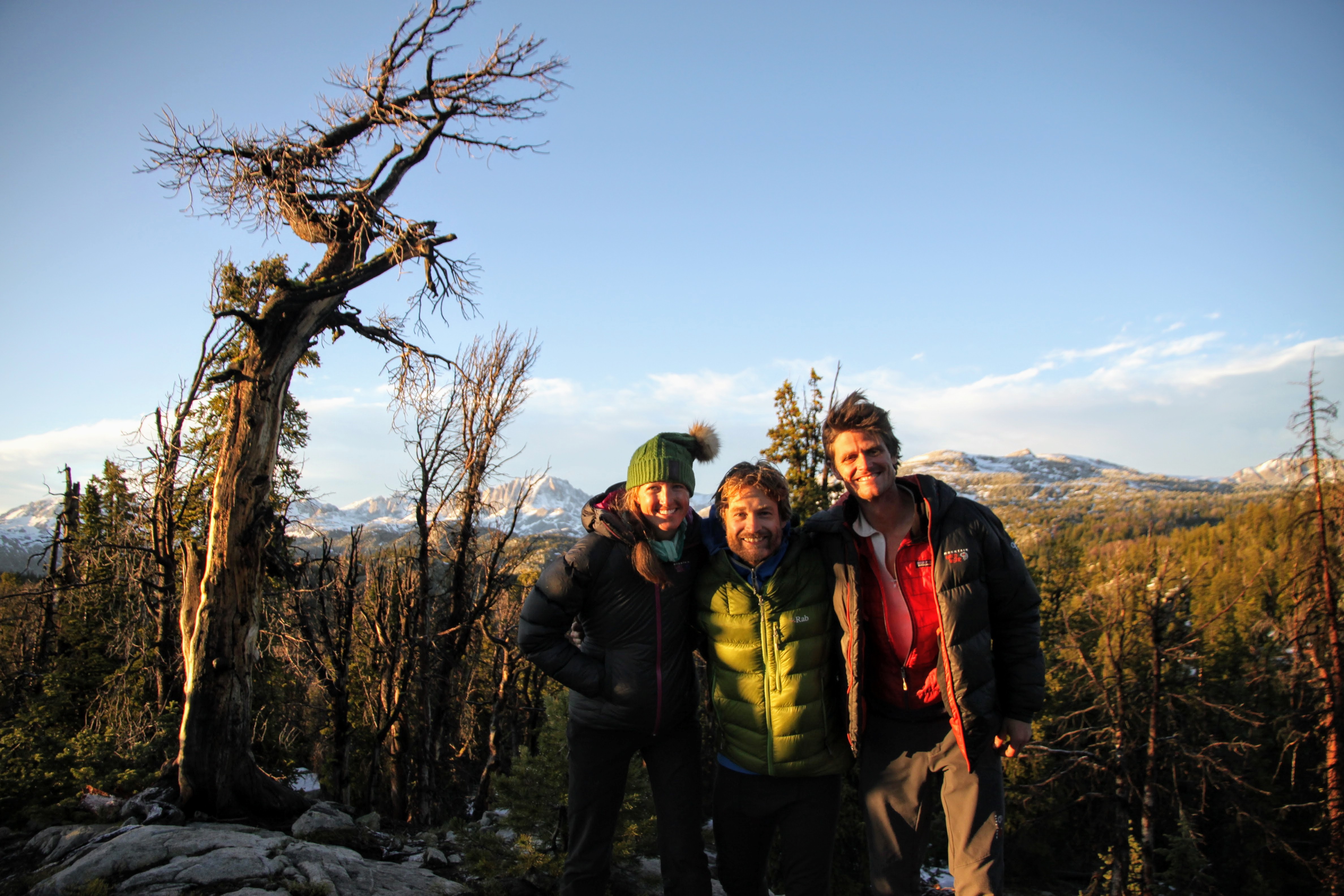
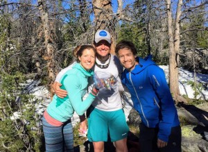
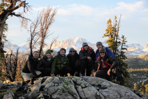
The Chalks happy to be in the Winds together
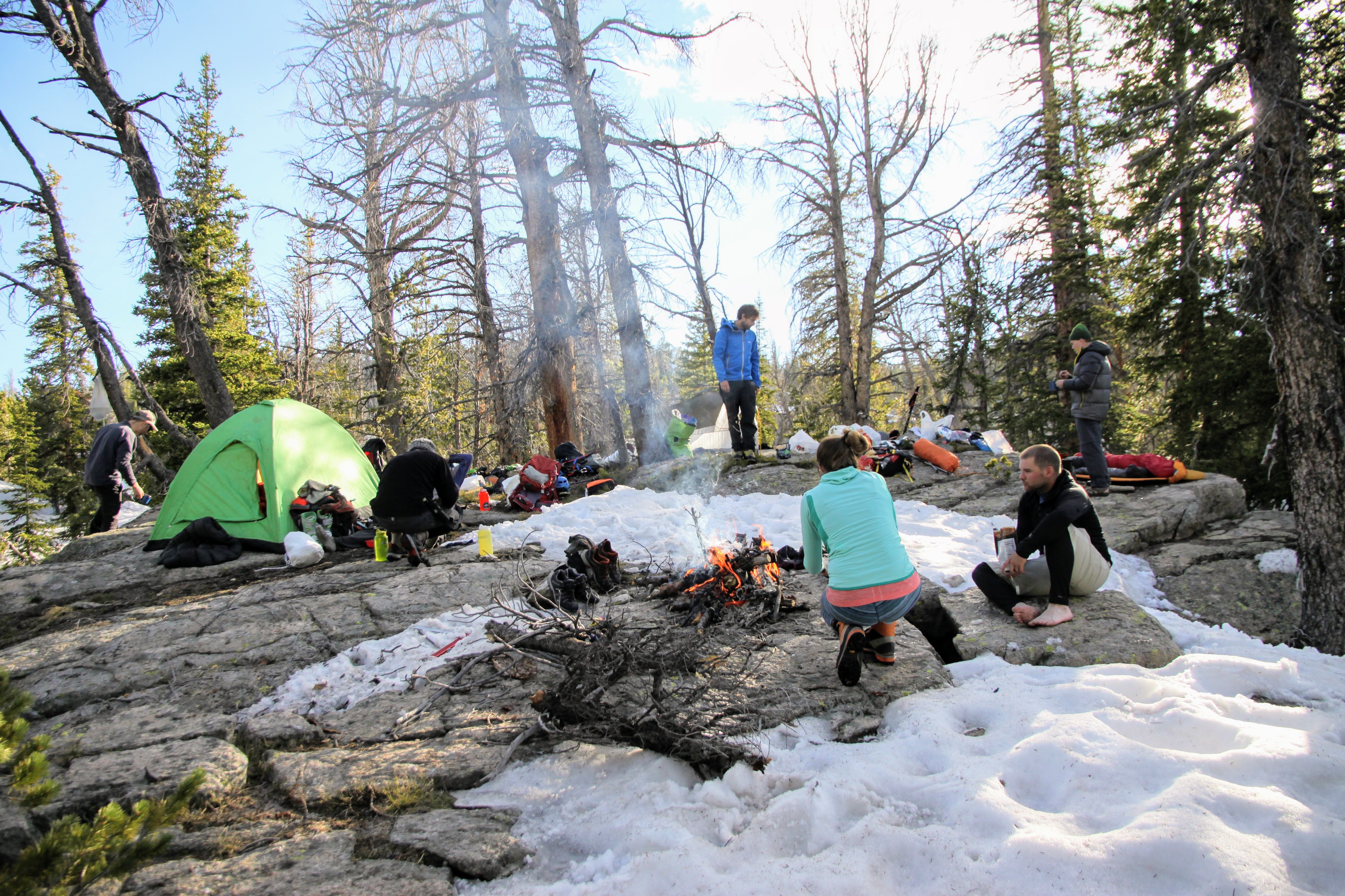
J brought his saw and we were able to cut some nice, dry, dead trees and have an awesome fire most of the night. It was much needed as we dried out most of our socks and trail runners. We hung our bear bags after some funny rock throwing antics to get the ropes up into the trees and got some good sleep. Rob & Kev slept out on the rock under the stars while J and Billy pitched their tent 10′ lower down on the ground. So, if anyone were to be eaten by a bear, it would be Billy & J.
Kristine, me, & Rob and the jelly beans Rob’s wife, Marie-Kristelle, sent all of us. Thanks, MK!

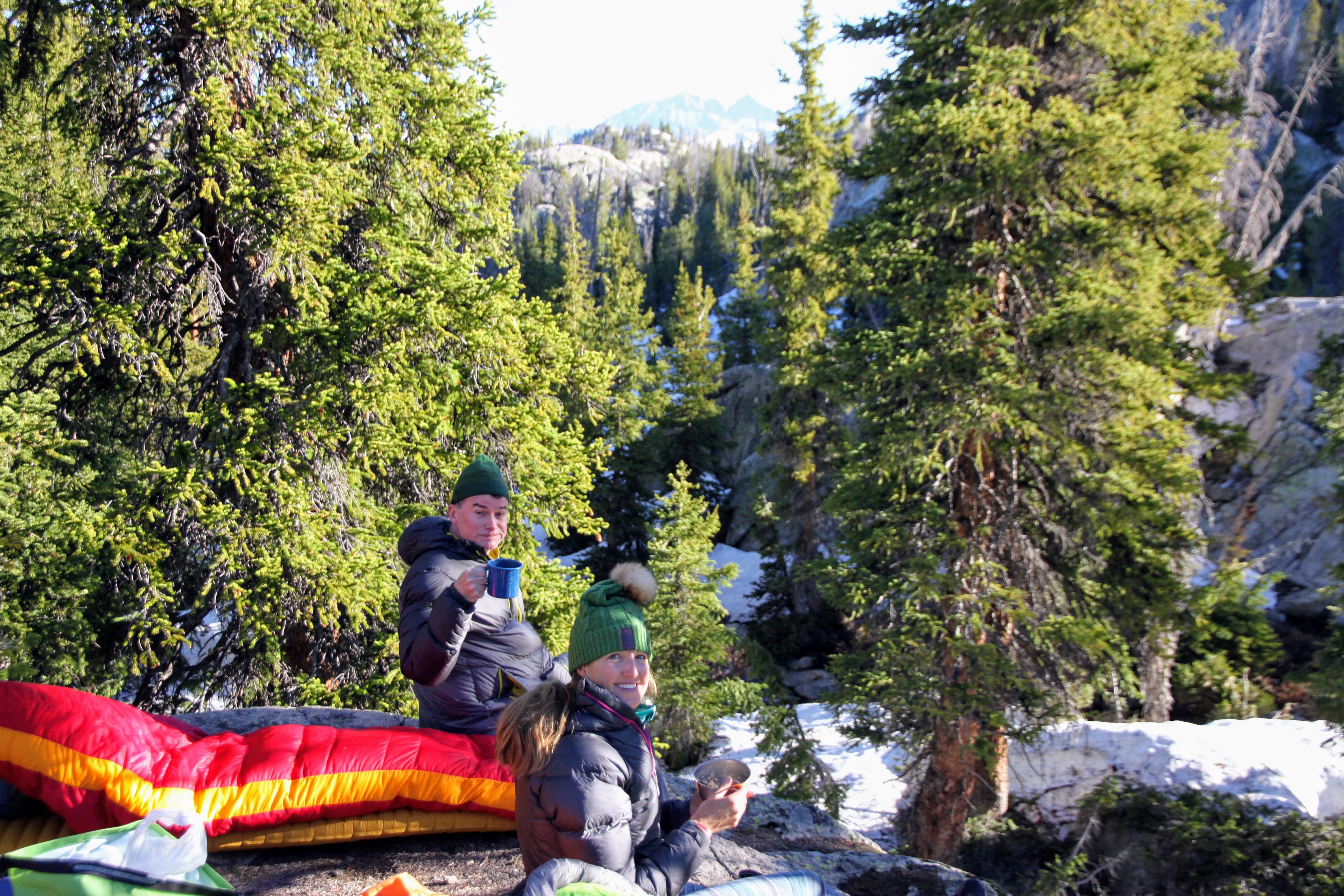
Kev & Kristine having coffee the next morning
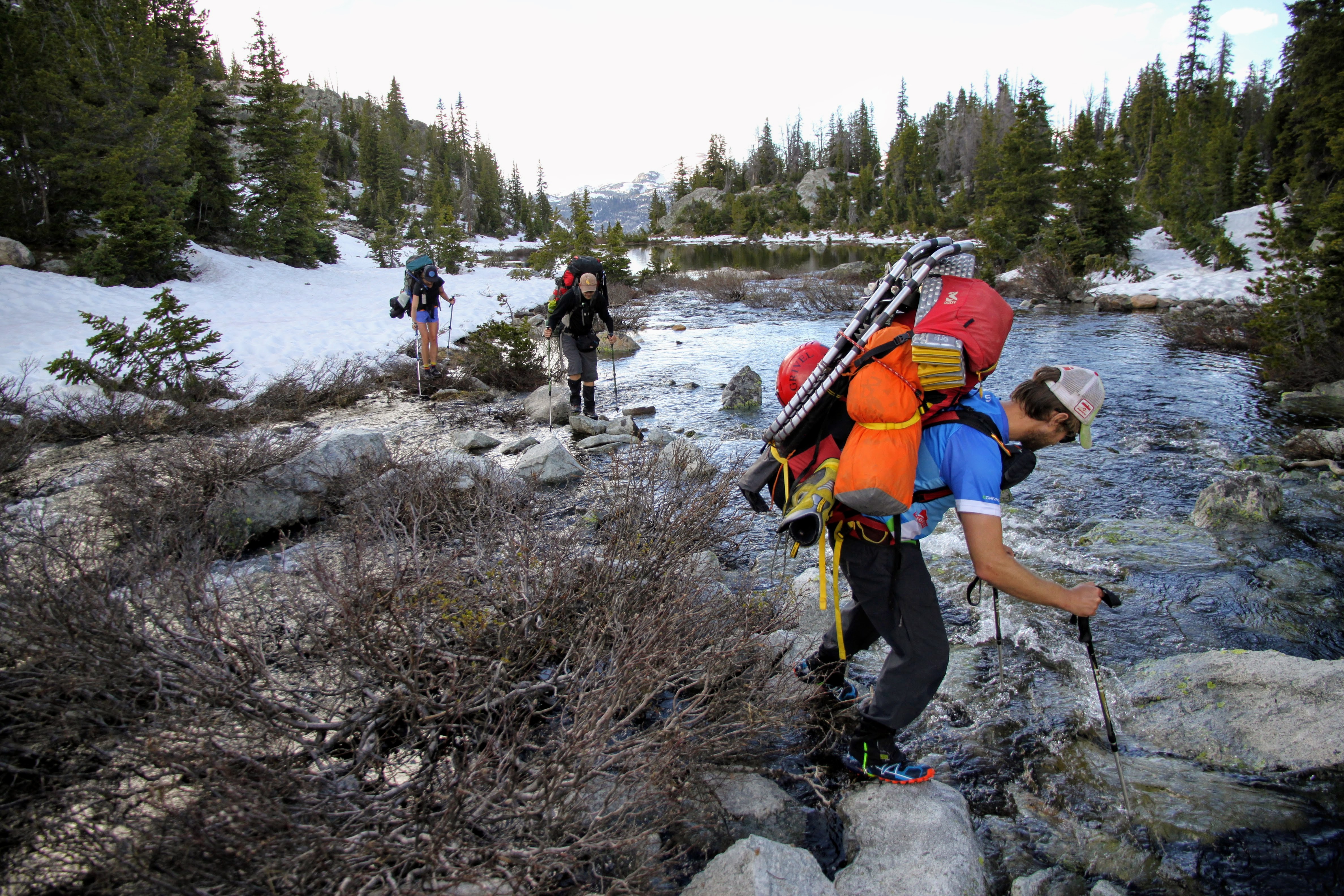
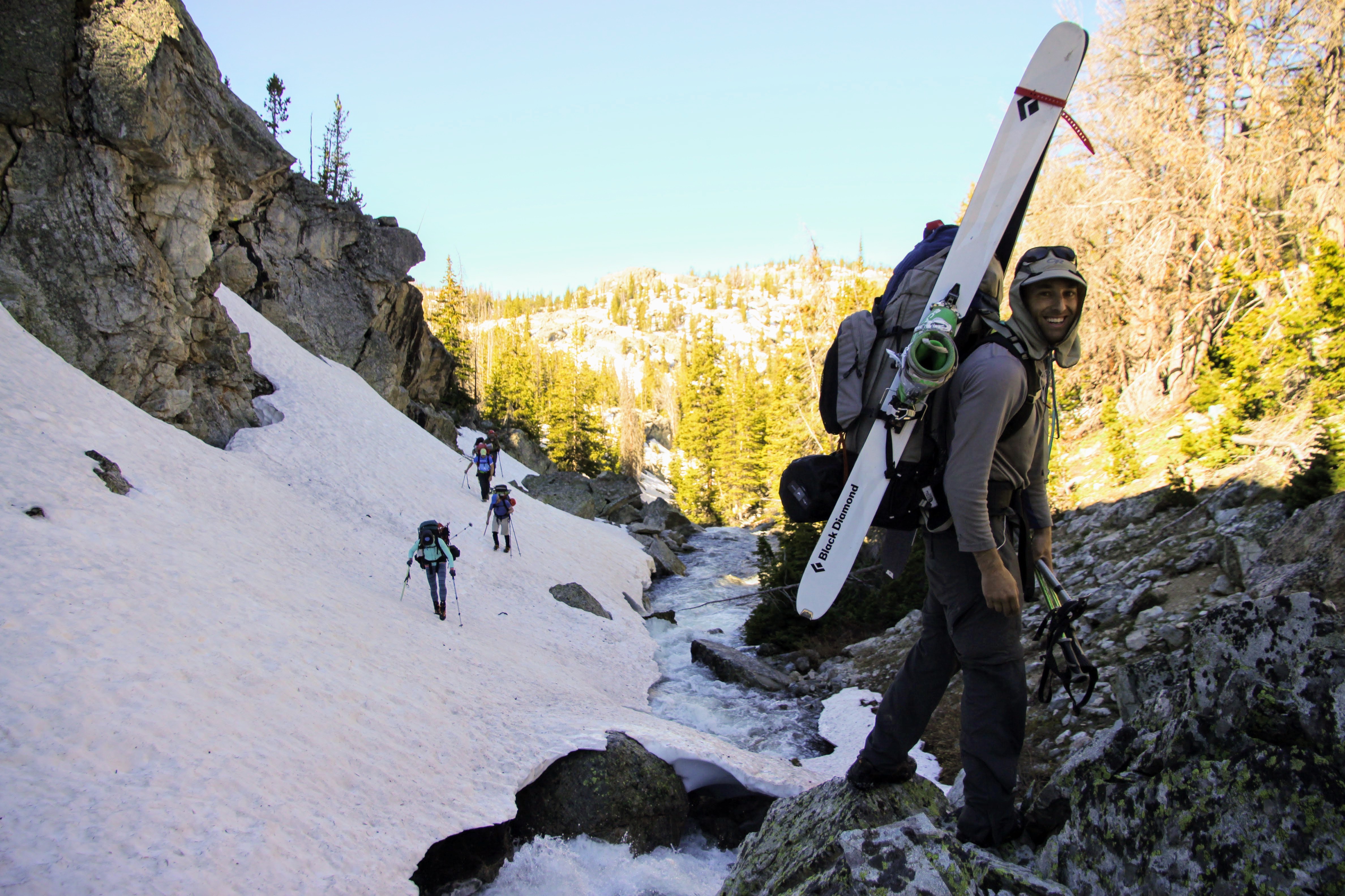
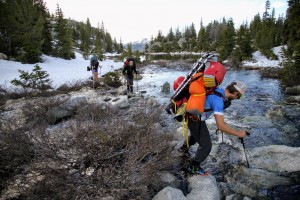
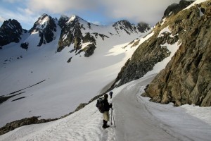
The crux of the entire approach seemed to be crossing the drainage river from Seneca Lake only a 1/2 mile after leaving camp on day 2. Ice axes and crampons came out to traverse the steep snow sloping down to the raging river. After heading upstream for 10 minutes on the steep snow, J & I found a snow bridge that was hearty enough in these early morning hours to take the weight of us. So, we all stepped across it one by one.

J and the crew traversing the snow on the south side of the drainage river from Seneca Lake
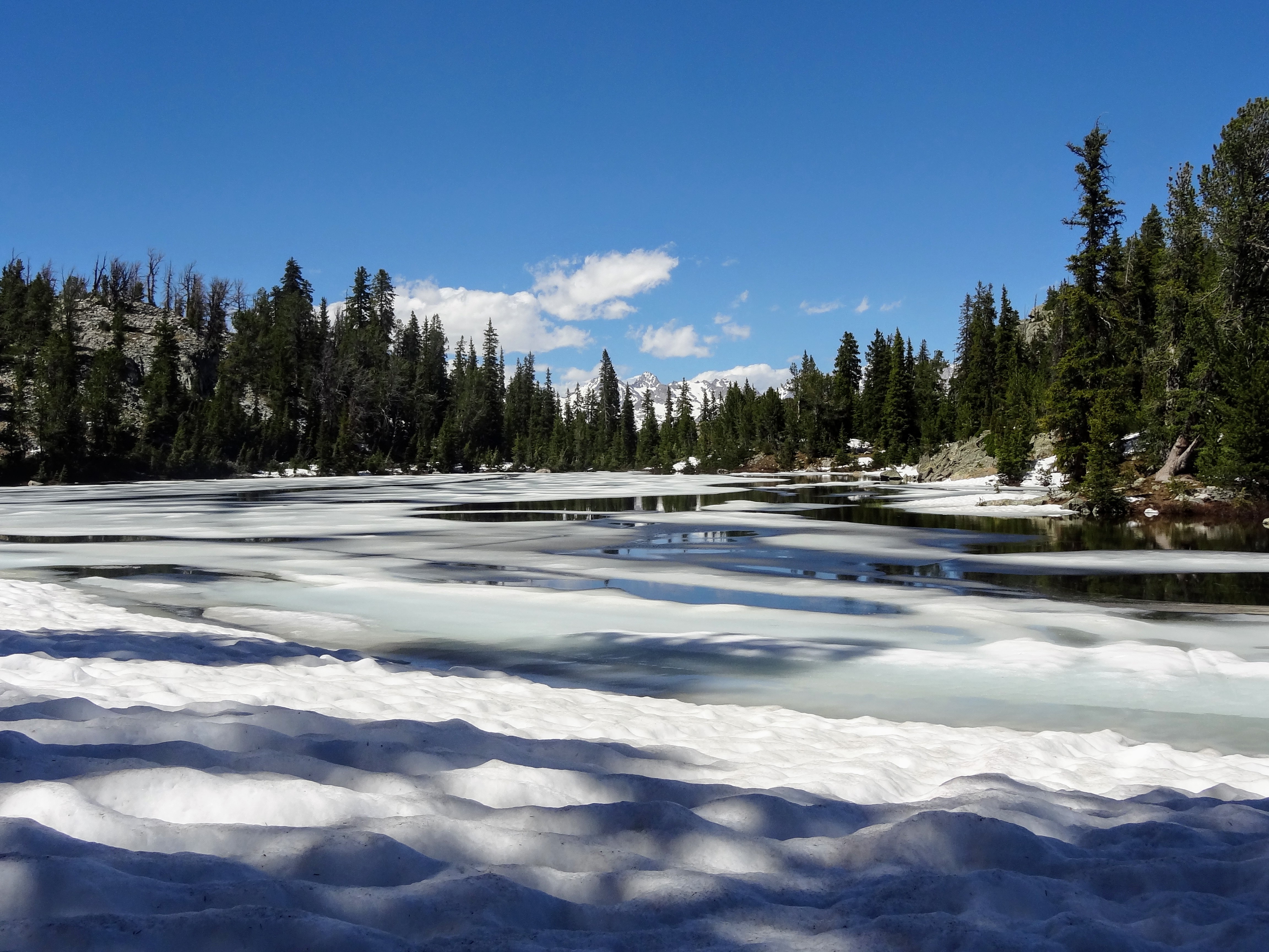
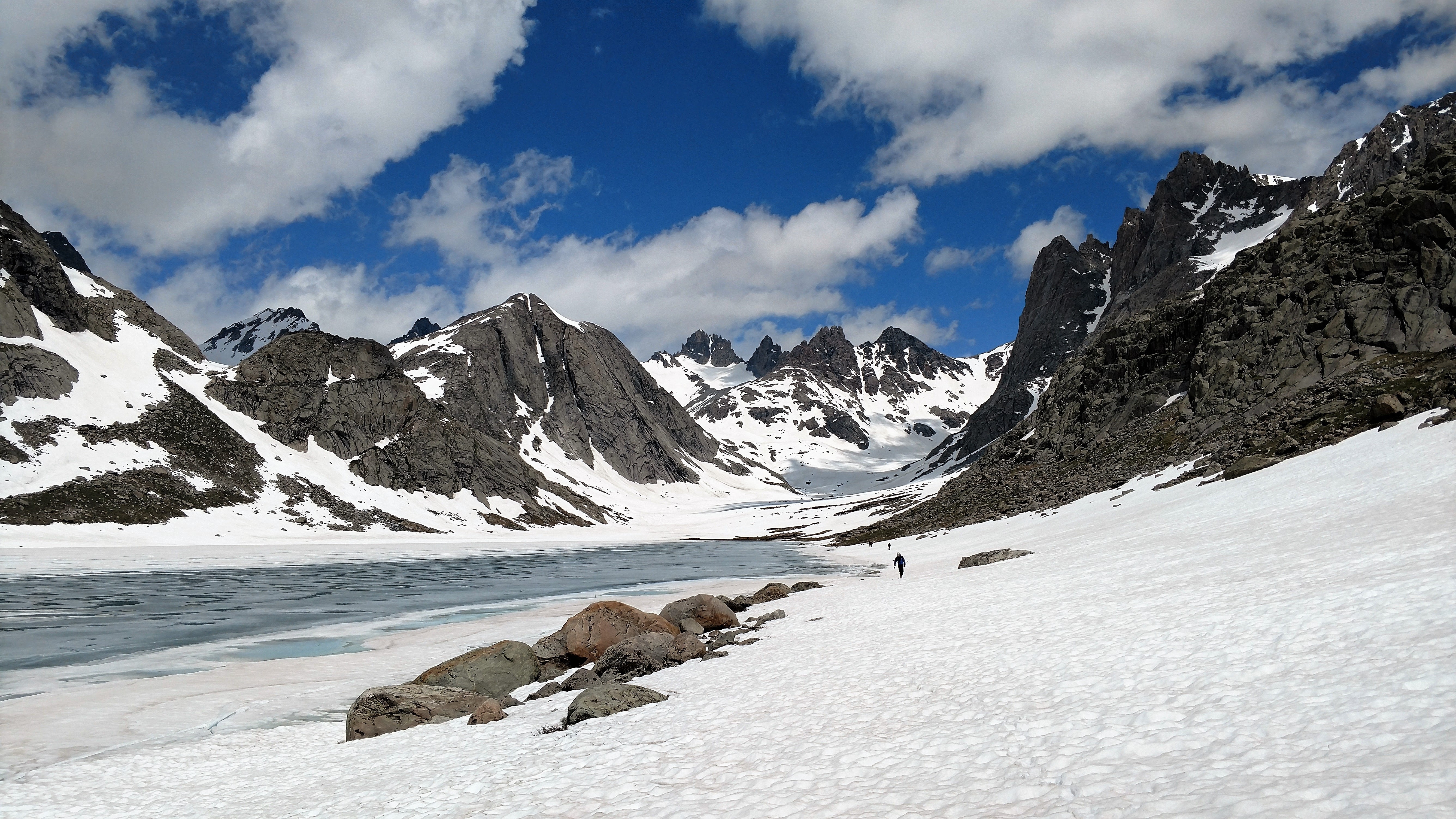
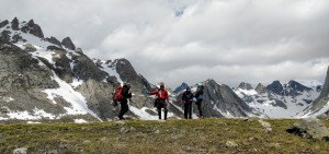
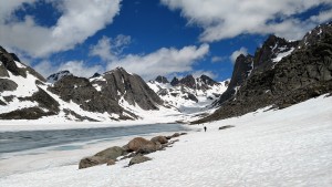
Thanks to Marsters’ excellent navigational skills, we made our way another 2 miles through ravines and around ponds up to the beautiful overlook of Seneca Lake.
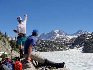
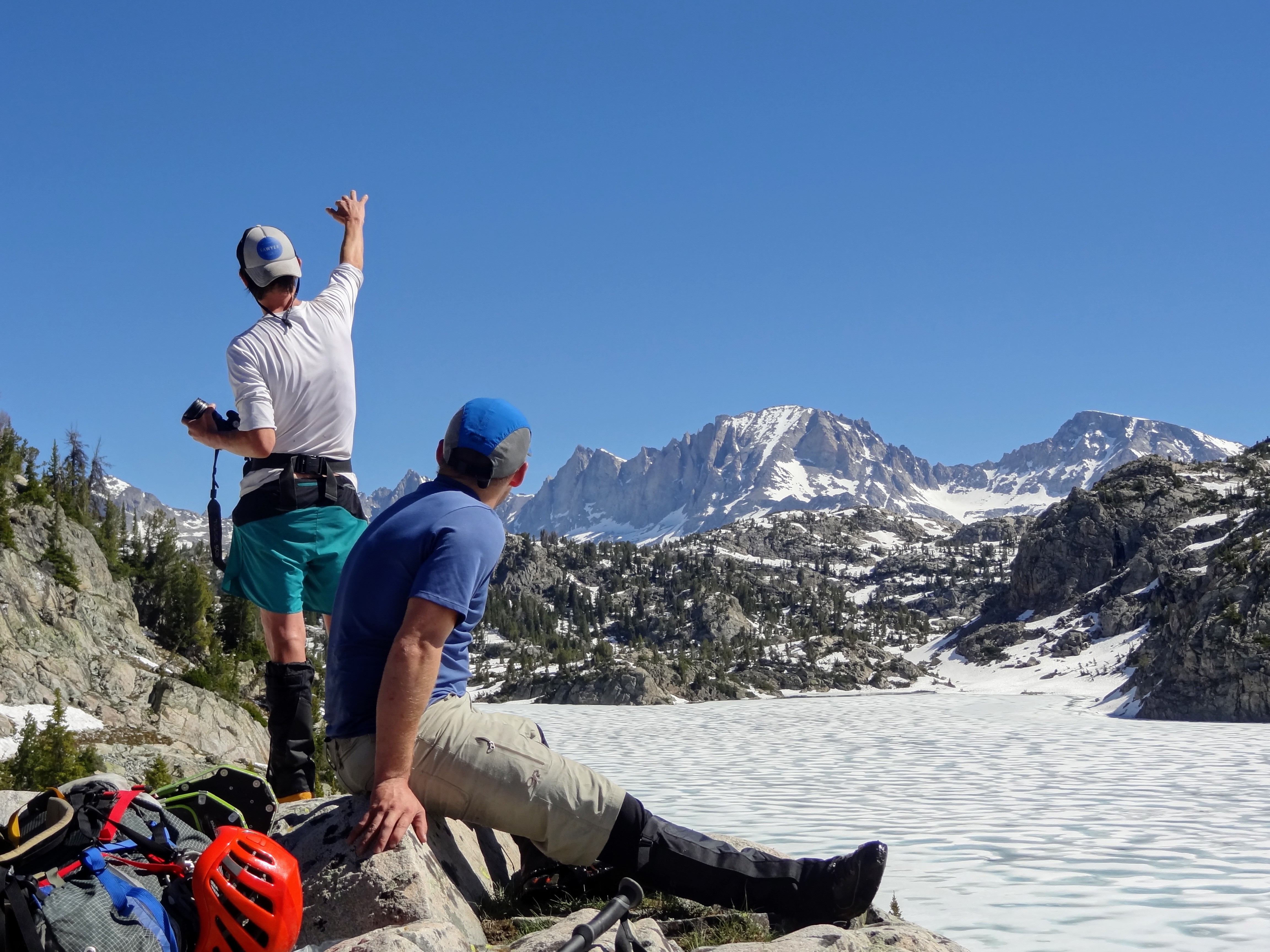
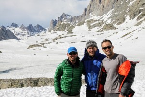
Ryan and I looking out over a frozen Seneca Lake and Fremont Peak beyond
Ryan and Seneca Lake. What a spectacular location
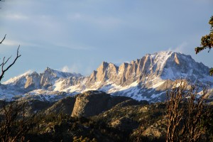
Fremont Peak
We then found remnants of the trail traversing the west side of Seneca’s steep shoreline and made it around to the north side. The sun cupped snow was in full force now as was the heat of the sun. It was hot.
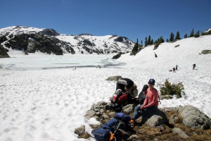
Kristine & Billy catching a water break on the north shore of Seneca Lake
We made our way up to Little Seneca Lake and traversed its southern shores and then climbed up to a small saddle where we could see a much closer Fremont Peak now and even Bonney Pass, which was exciting! We would go up and over Bonney Pass on our summit day.
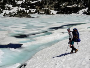
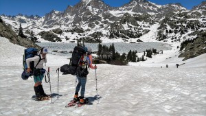
Me traversing snow along Little Seneca’s southern shore
Bonney Pass is visible in the center of the pic above Upper Titcomb Basin
It was blazing out and we all needed some shade. At Indian Pass I found a great boulder which provided shade and water, so we all did a lunch break here.
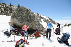
“Lunch Rock”. I think Kristine is playing an air guitar

Kristine, Mikey, and Rob ready to depart “Lunch Rock”
After a good break and some food, we descended Indian Pass down to the beautiful Island Lake and traversed its northeastern shores.
Heading down to Island Lake
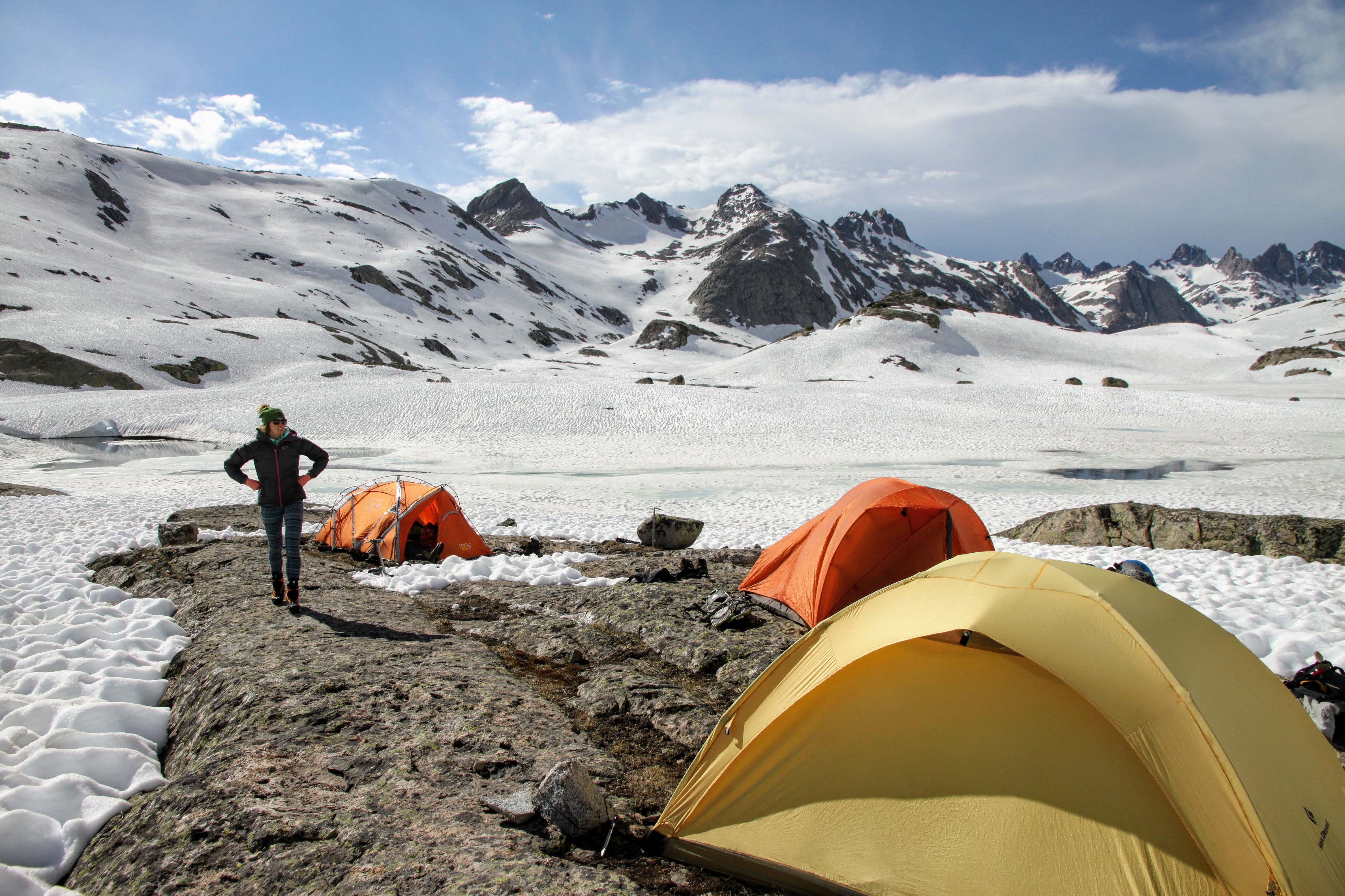
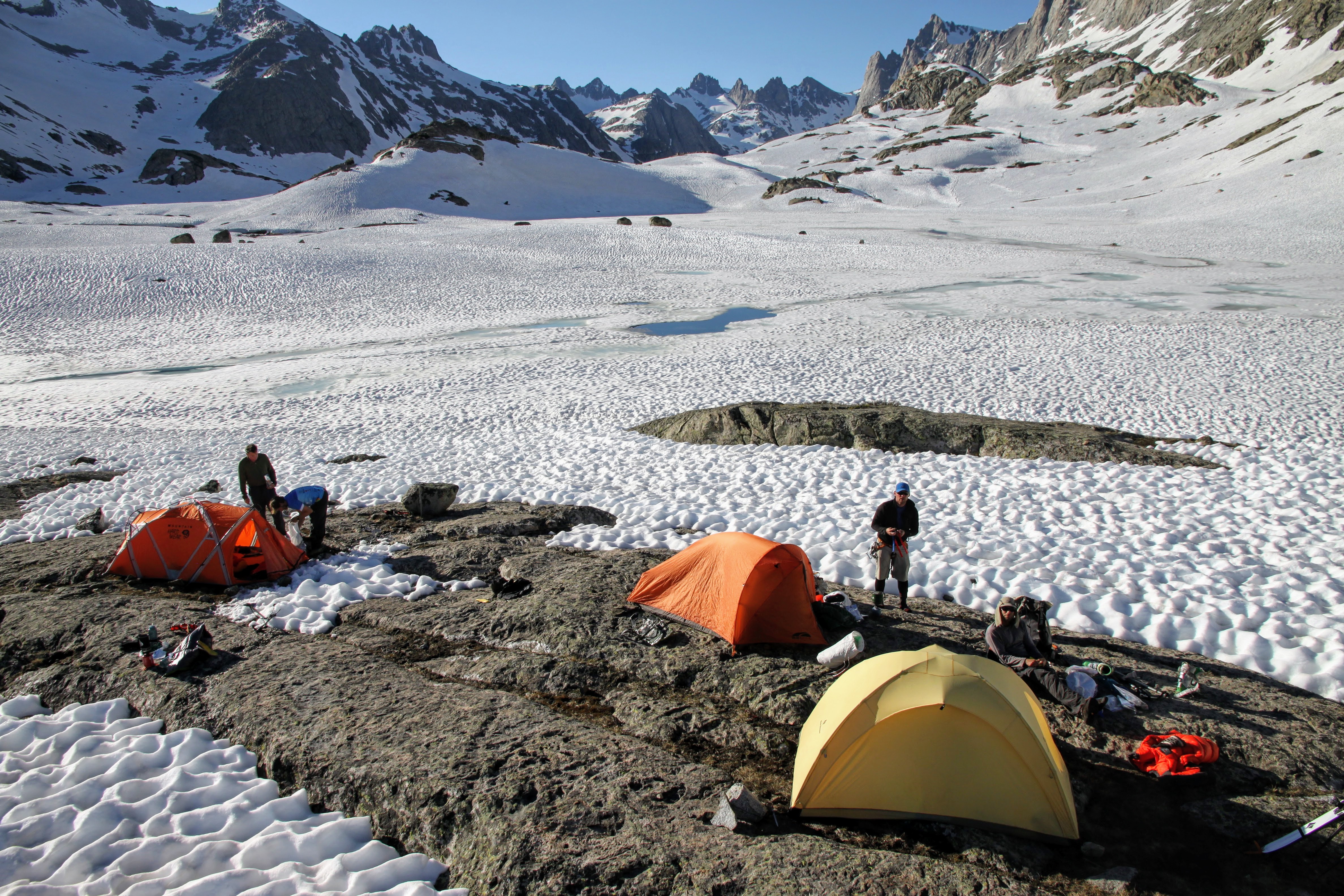
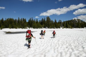
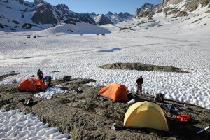
The heat was really getting to me and Kristine as well, but finally some clouds rolled in and provided some relief. We snowshoed into Titcomb Basin and made our way north to Lower Titcomb Lake. Around 4pm, it looked as if dark clouds were likely to threaten us, so we found a nice flat rock to pitch our tents and set up high camp. It wasn’t as far into Titcomb Basin as we would have liked, but the consensus was to just stop now and not carry the large backpacks anymore than we have to. It would just lengthen our summit day by a bit of mileage. Plus, selfishly I wanted to set up camp in case the storm hit us. However, it never did.
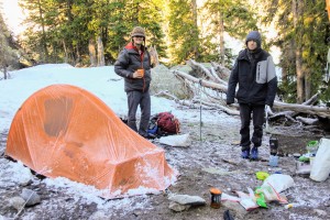
Ryan, Billy, & J at our 10,500′ high camp in Titcomb Basin

High camp
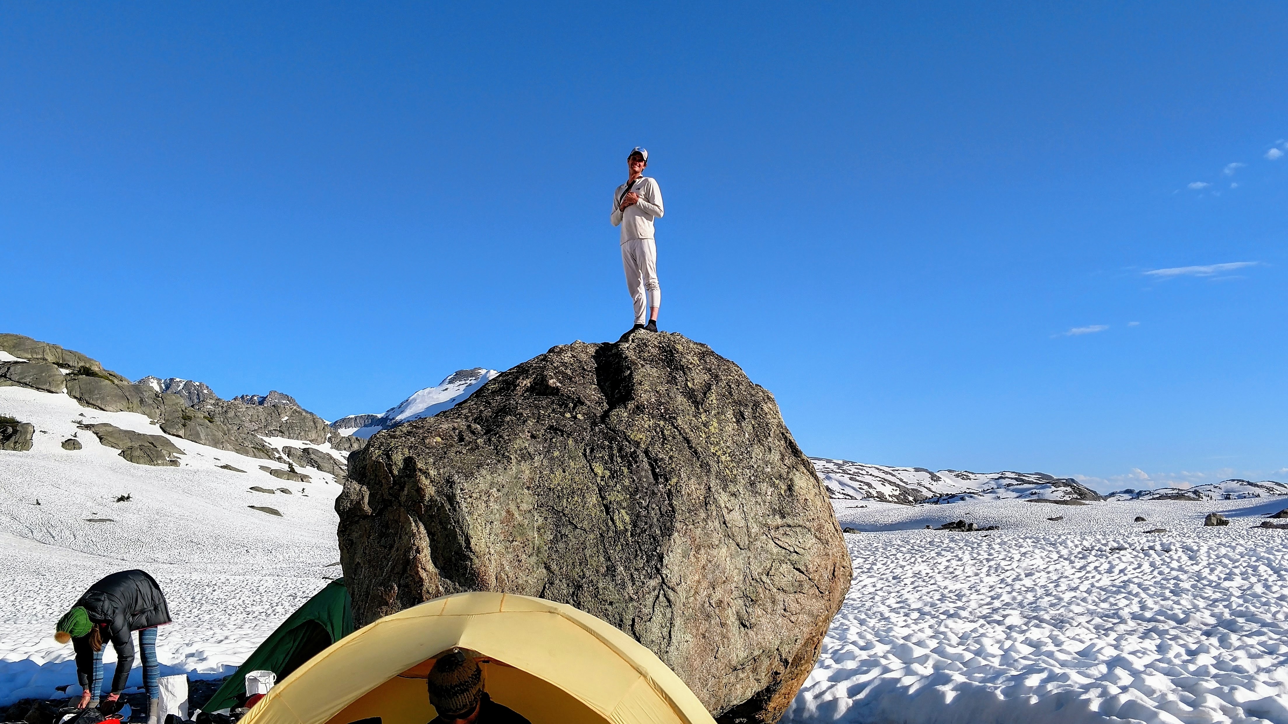
High camp as seen from the top of our high camp boulder
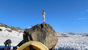
I had to scramble up our designated camp boulder in my long johns, of course
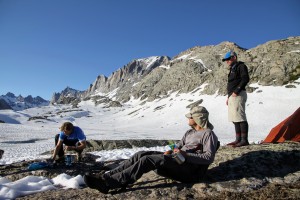
J lounging at high camp that Monday evening
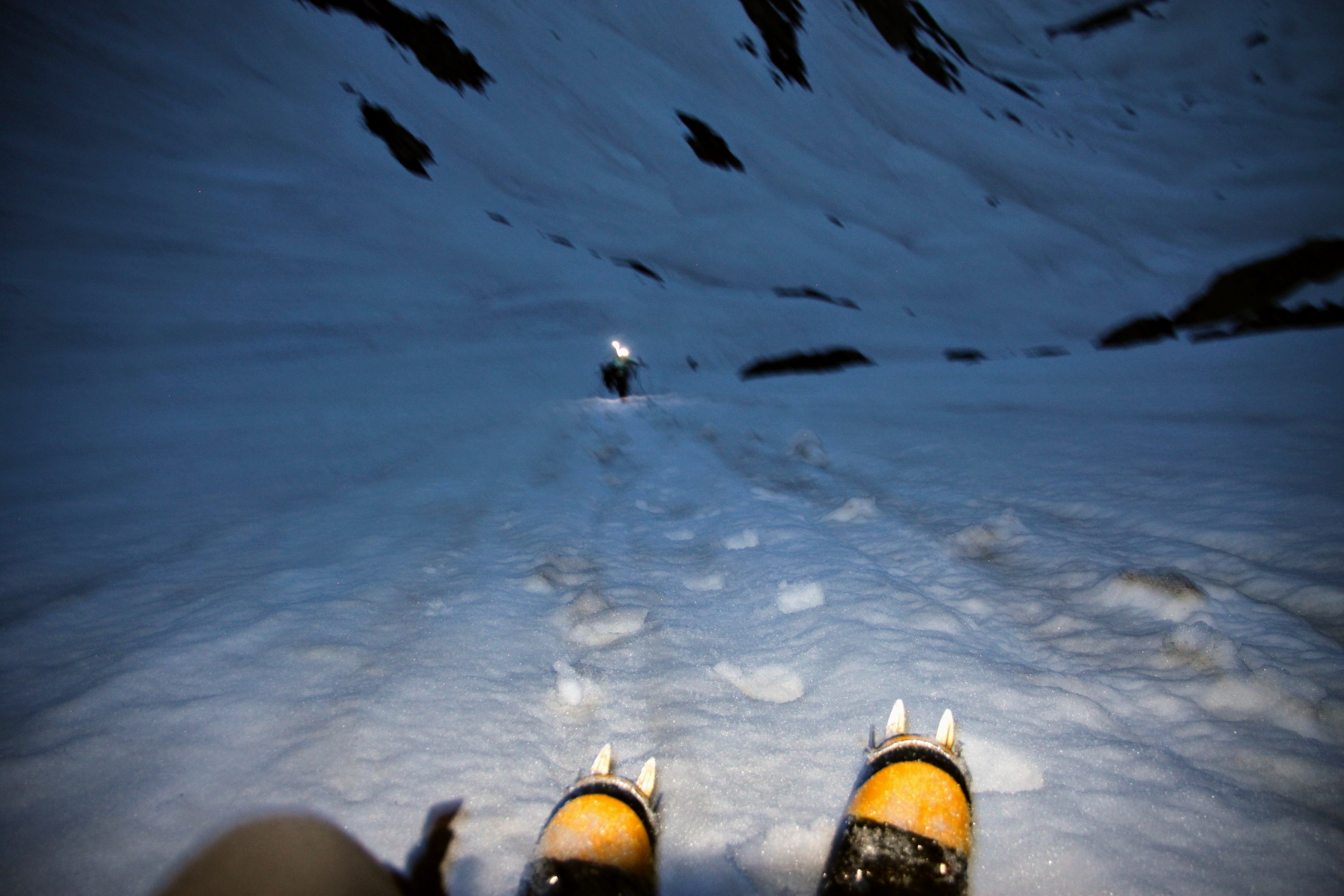
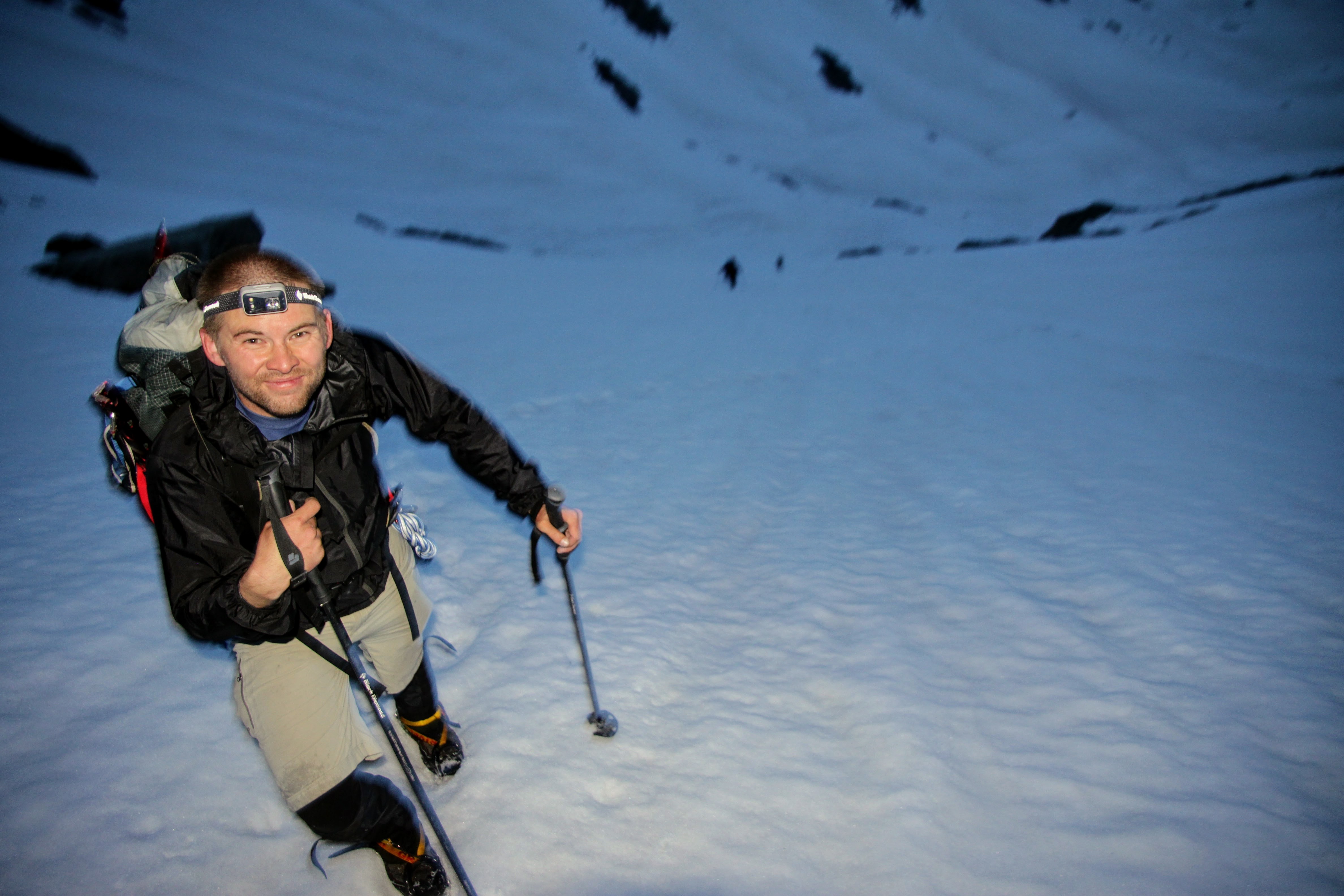
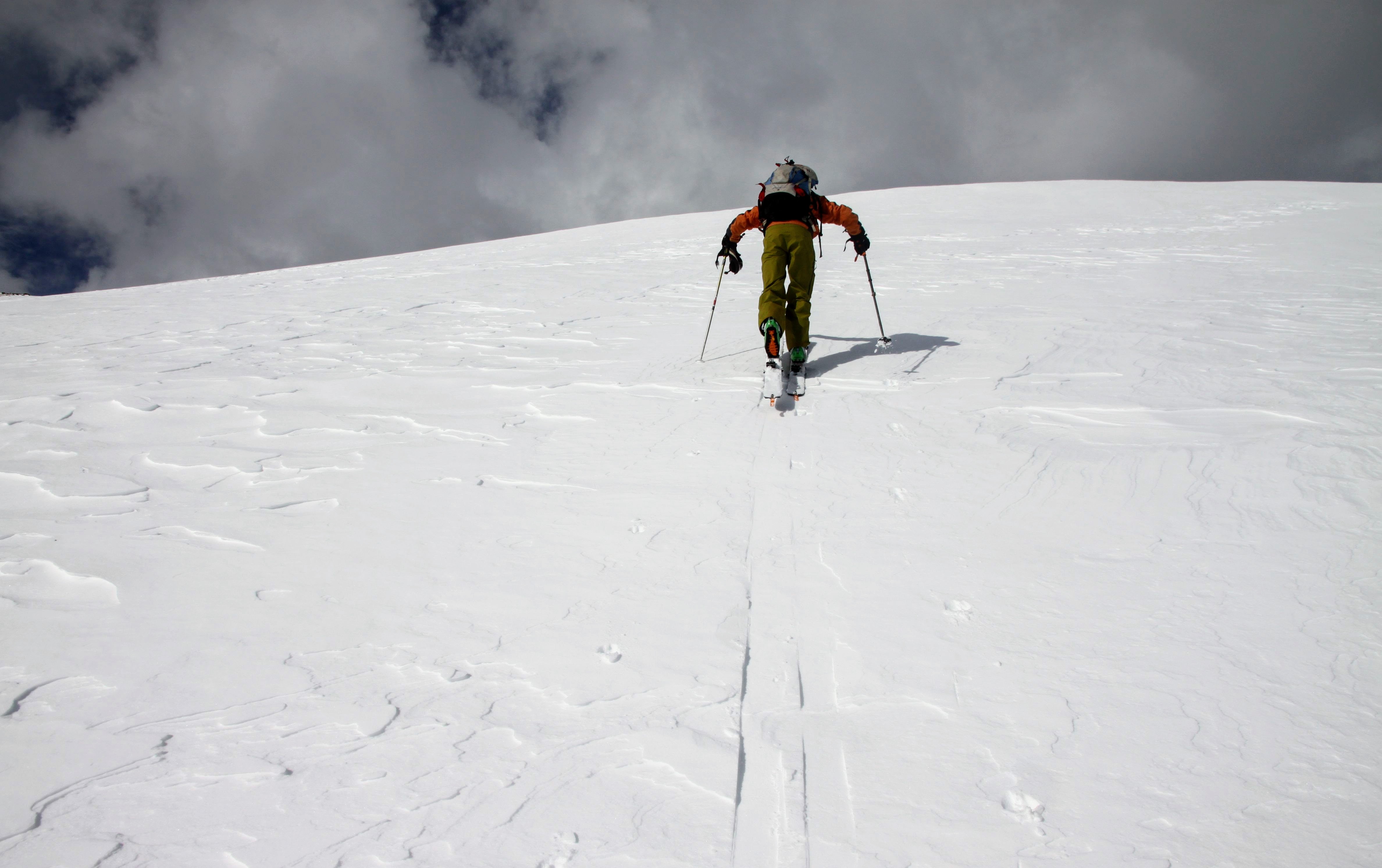
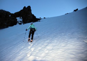
It was good to get our high camp set up before 5pm so we could relax and get some rest before our summit day. Joel texted our satellite phone saying Tuesday should be clear with possible afternoon thunderstorms. We had also checked the weather forecast before we left and Tuesday looked pretty good. Up at 1:30am, we left camp by 2pm or shortly afterwards. The weather seemed a bit strange to start off with. A freak little wind and rain storm swept across our camp at about 1:15am and then cleared out and we could see stars. As we made headway north up Titcomb Basin past Fremont Peak and past Middle and Upper Titcomb Lakes, it rained on us ever so slightly a few times and then cleared out again. It was strange weather. It was maybe 5 miles one way to Bonney Pass, but once we started gaining some vertical up Bonney Pass I know I at least felt better about the distance we had to cover. We donned crampons around when the gully steepened and J put his skis on his pack. It was fun climbing to the top of the pass.

Looking down at Marsters, Mikey, Kristine, Billy, & J coming up to Bonney Pass
Kristine swapping leads puts the booter in to the top of the pass

Marsters
Billy topping out on Bonney Pass with Mount Helen behind to the south

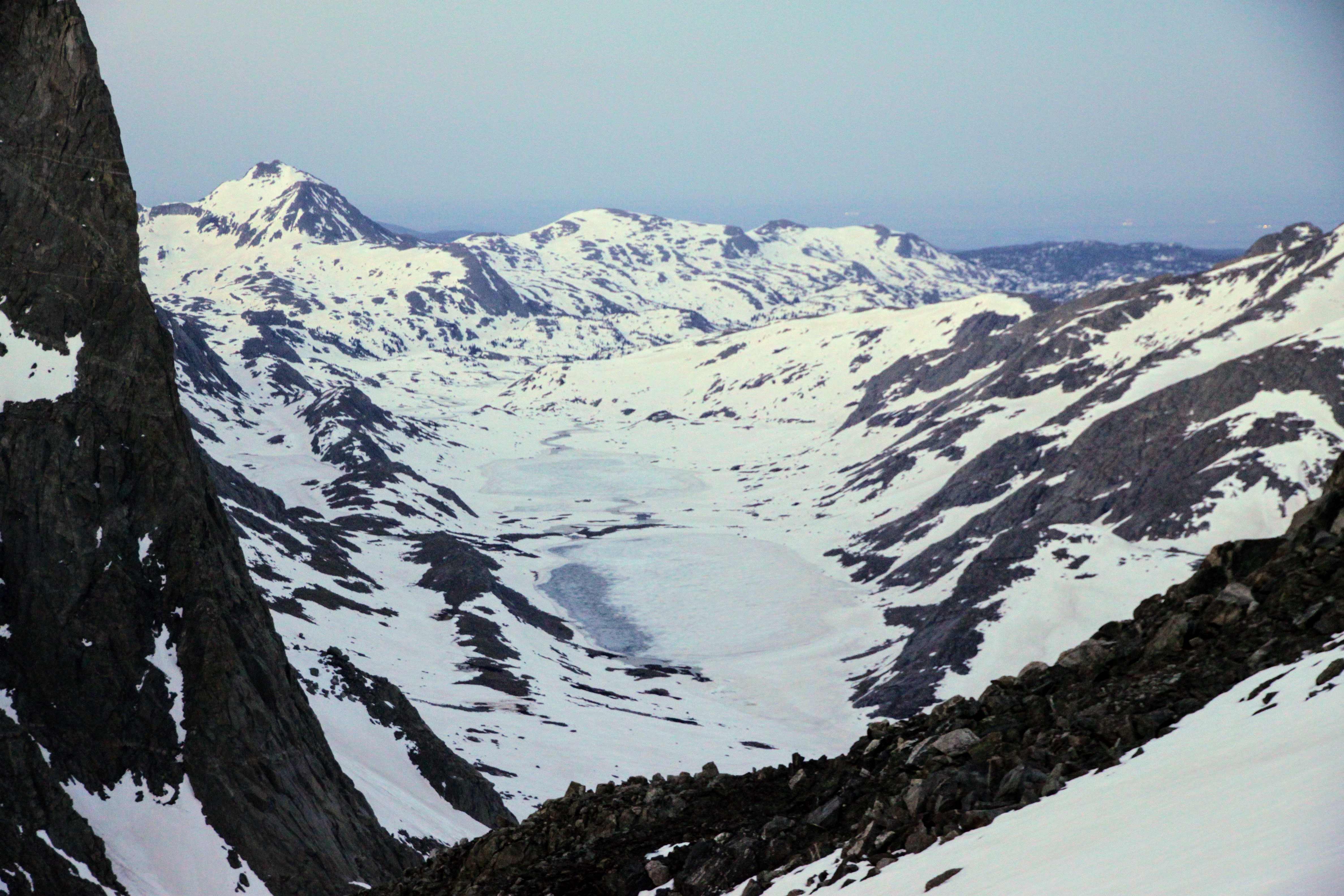
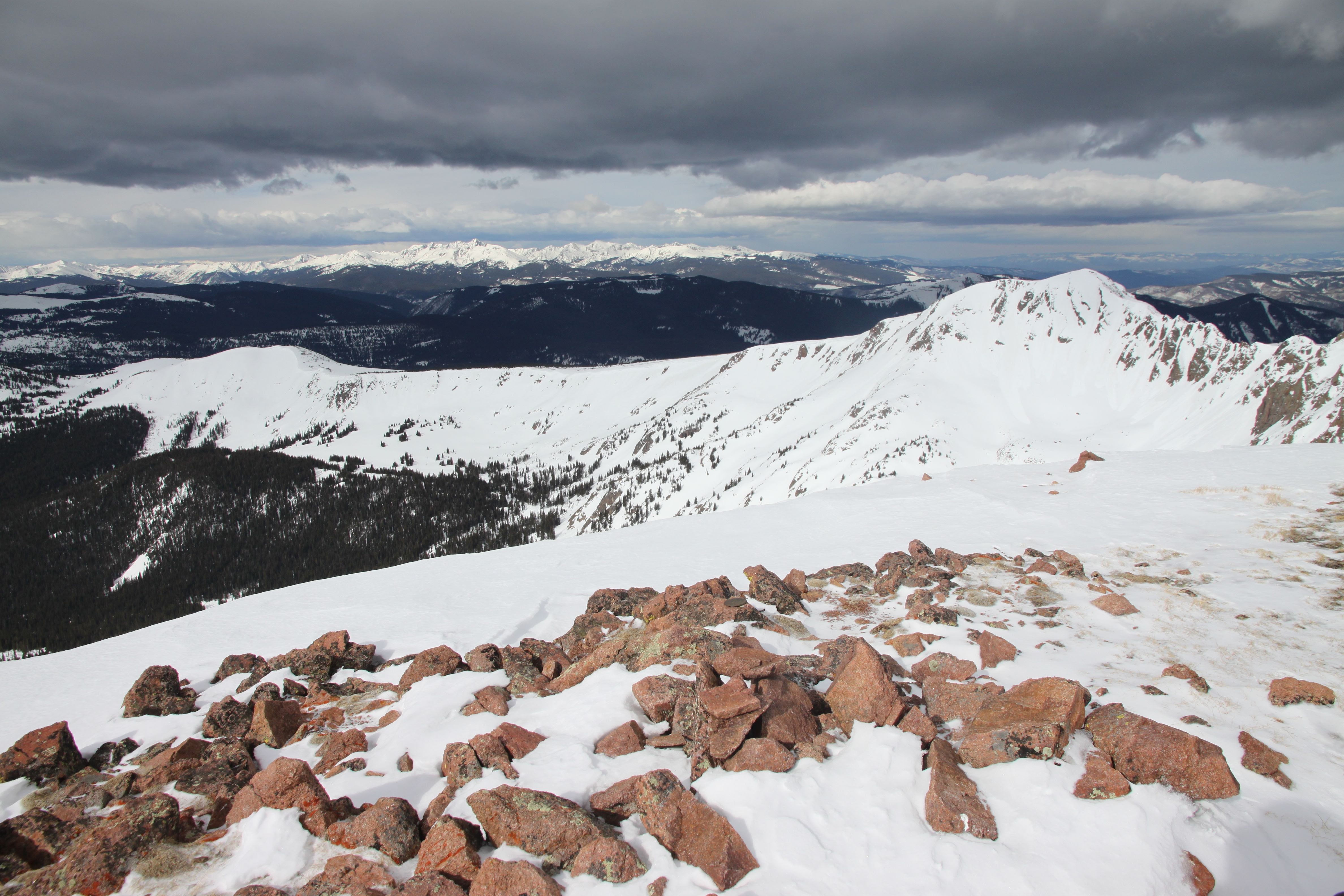
Titcomb Lakes & Basin and Elephant Head (on the left) from the top of Bonney Pass
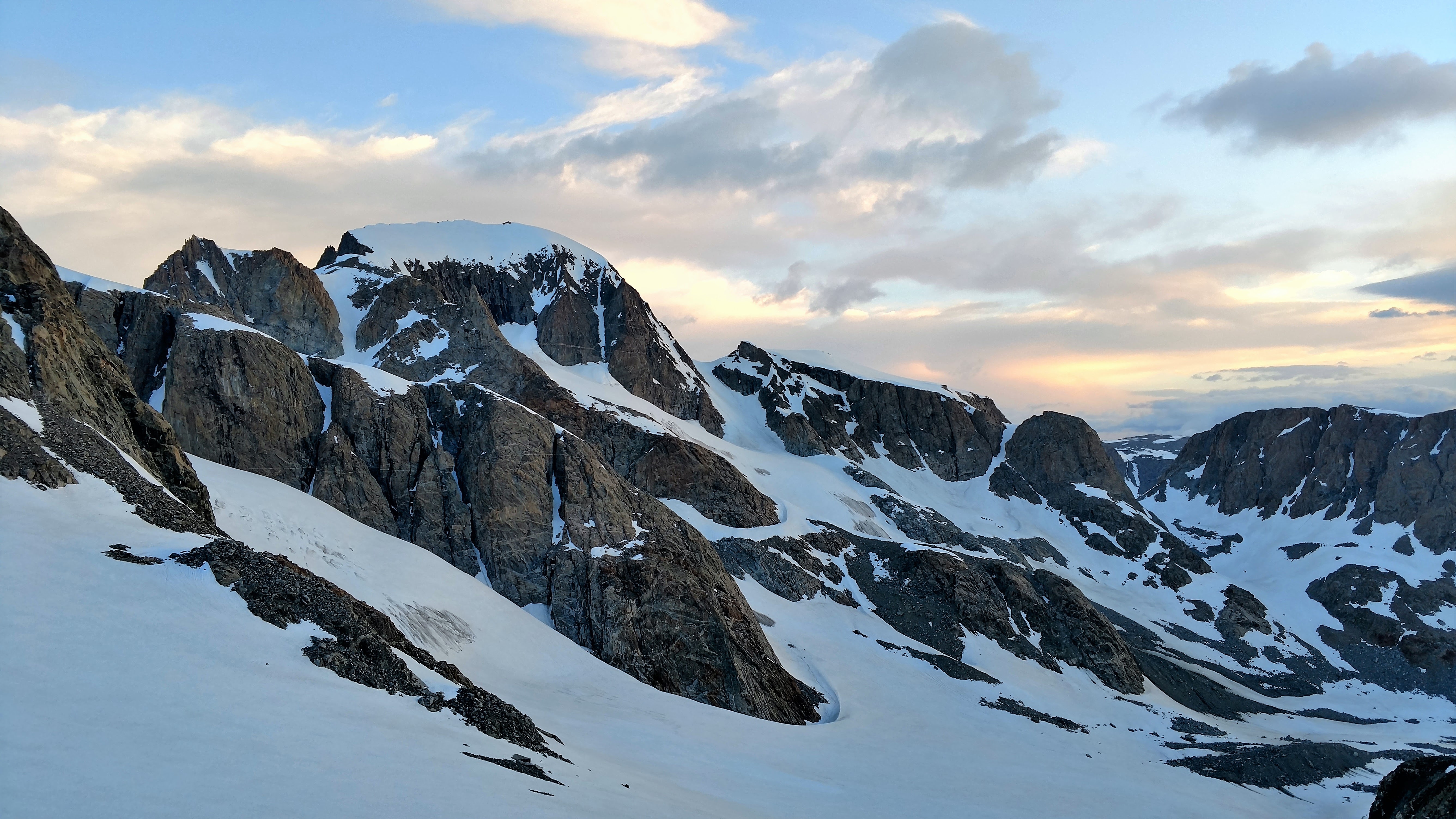
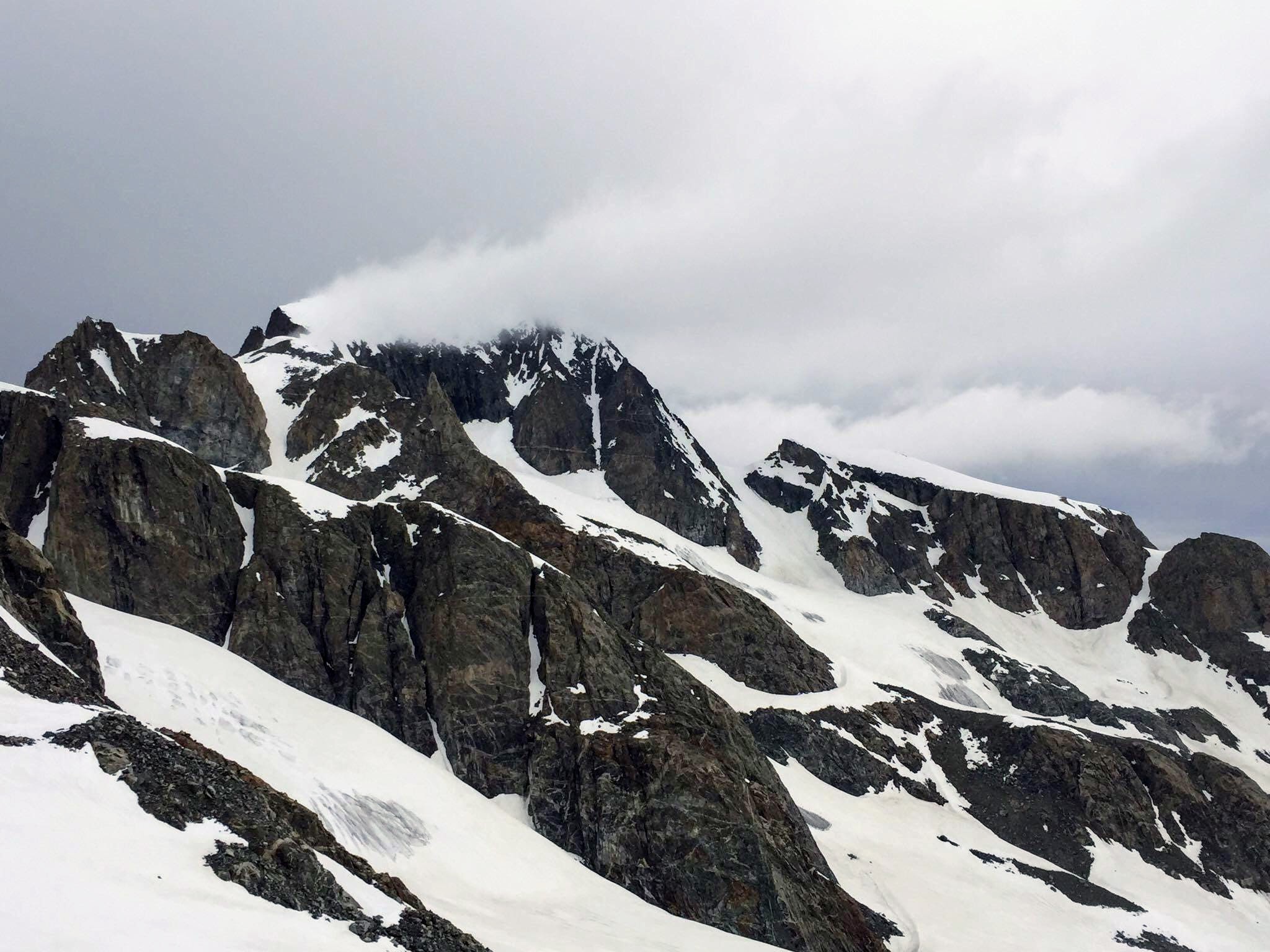
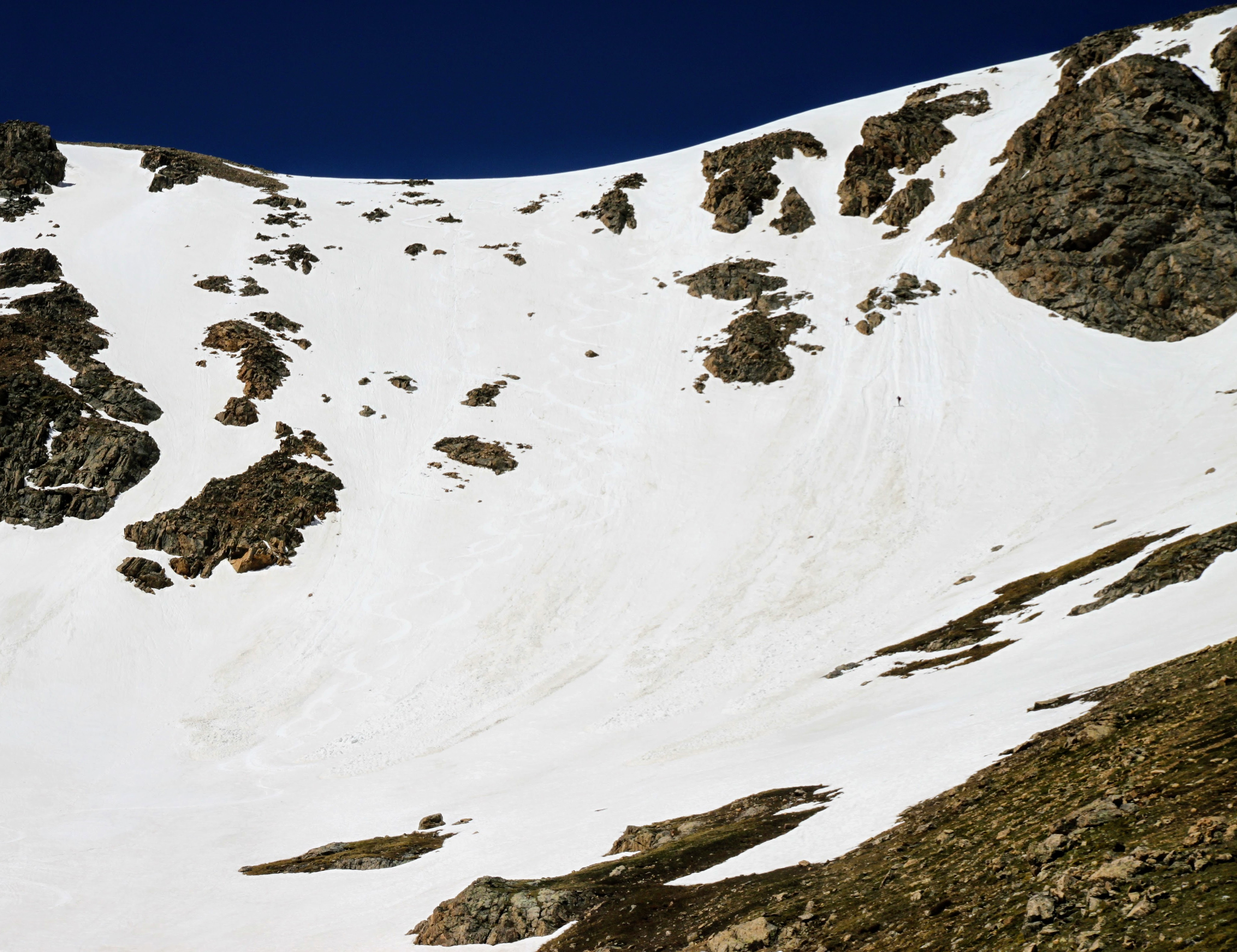
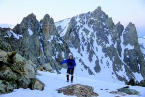
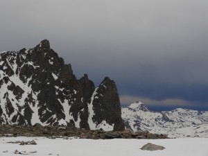
The views were tremendous from the top of the pass to the north & south. I remembered this view of Gannett from 25 years earlier from the top of Bonney Pass. We had a 1,200′ descent down the other side of Bonney Pass before the 2,000′ climb up Gannett itself.
Gannett Peak from Bonney Pass
Me & Gannett
Kristine & Mikey descending down the north side of Bonney Pass
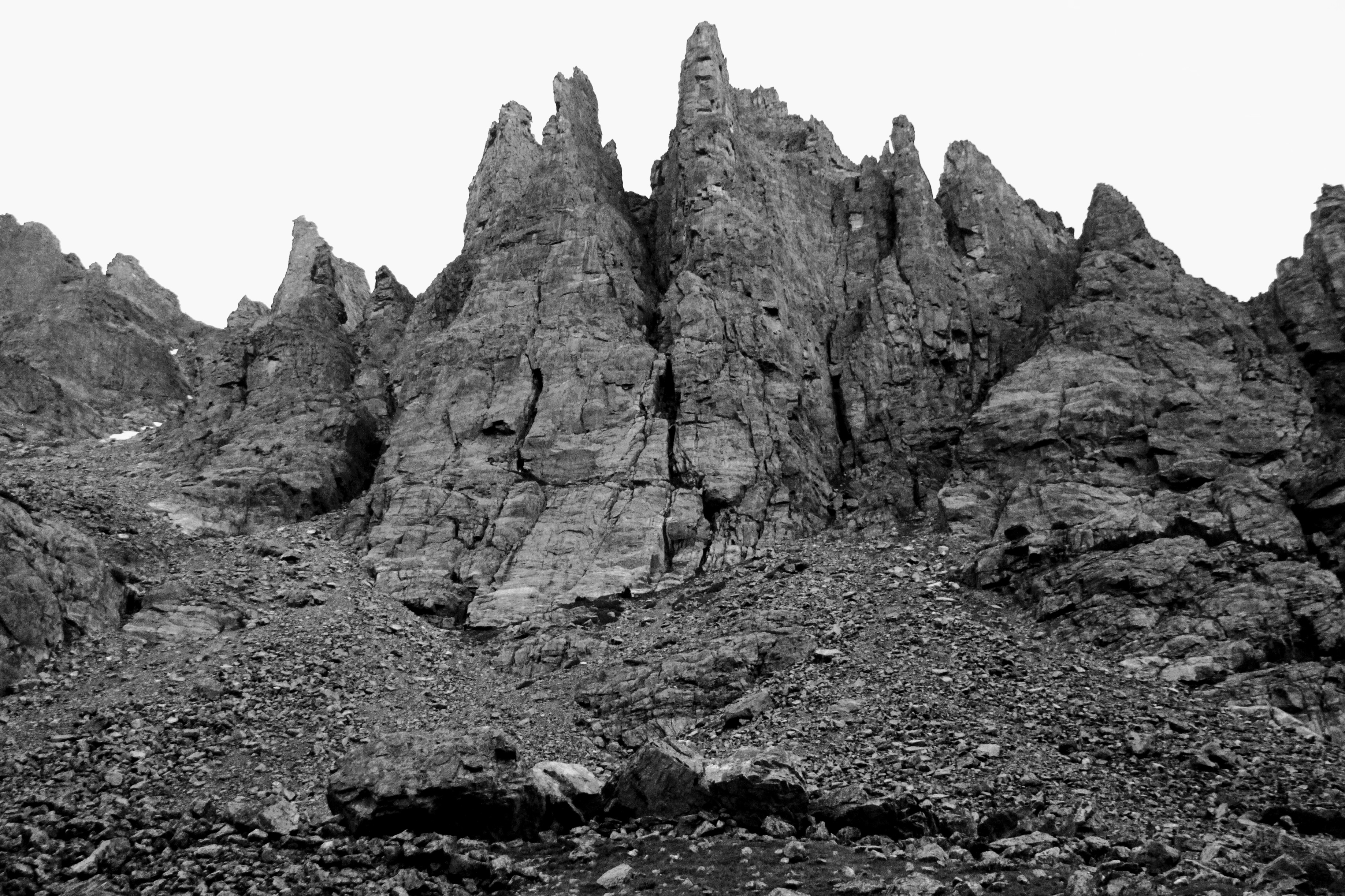
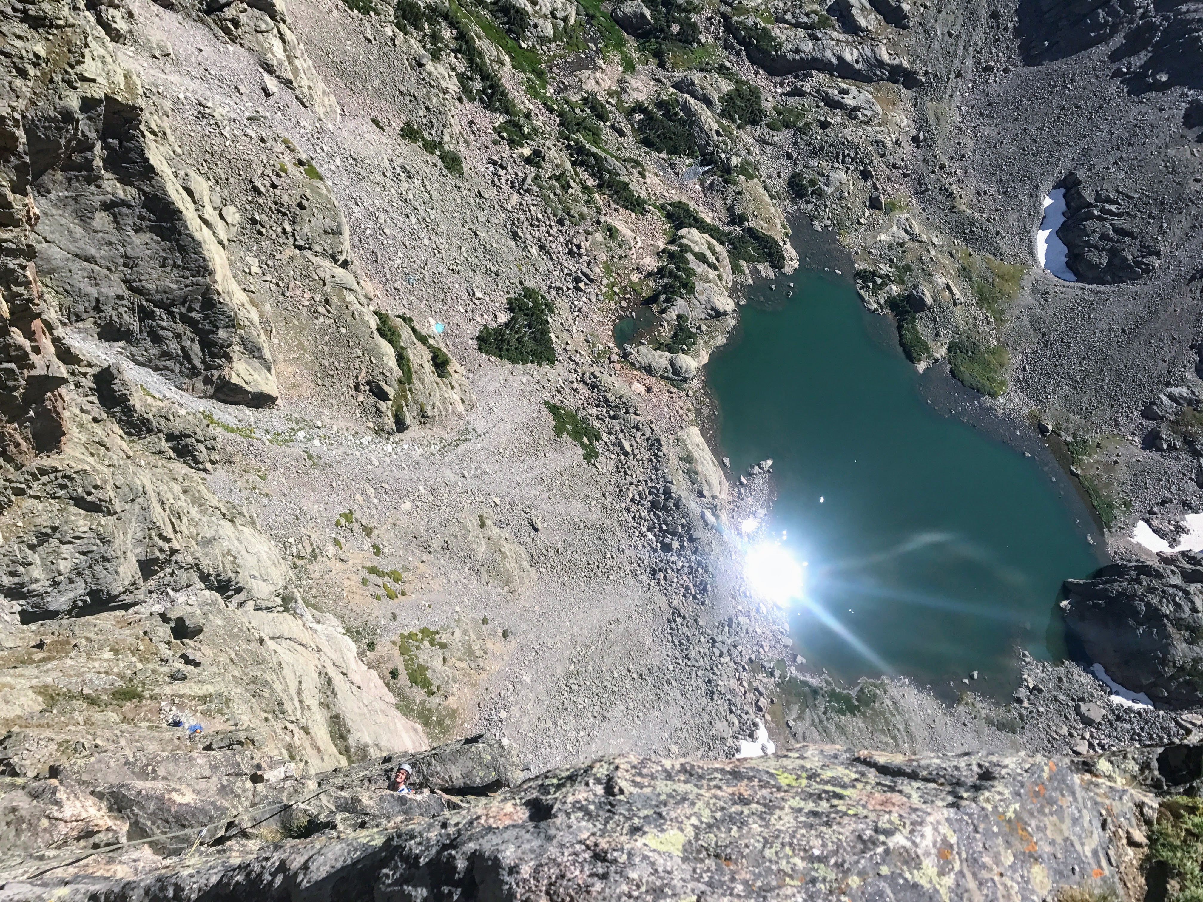
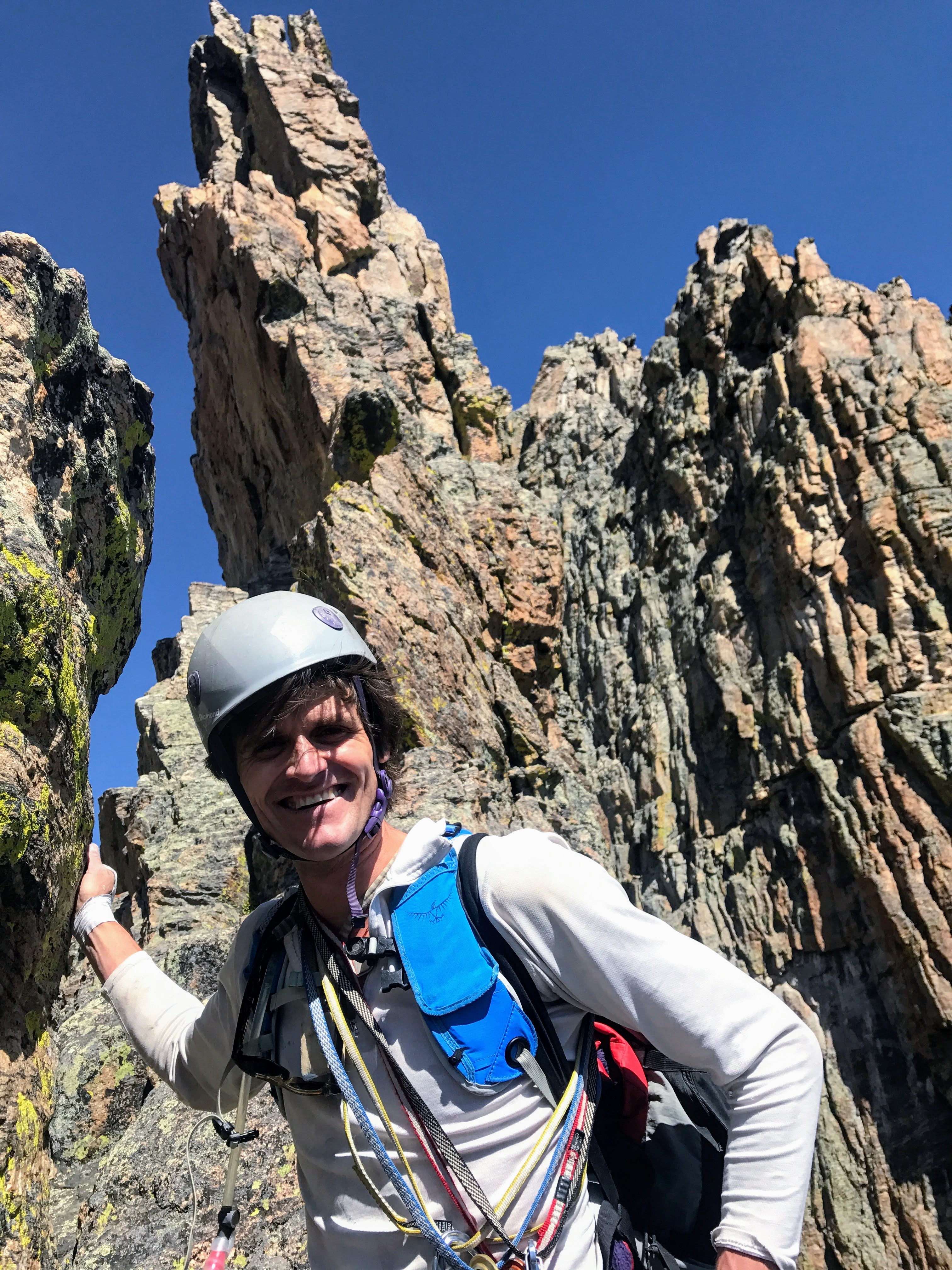
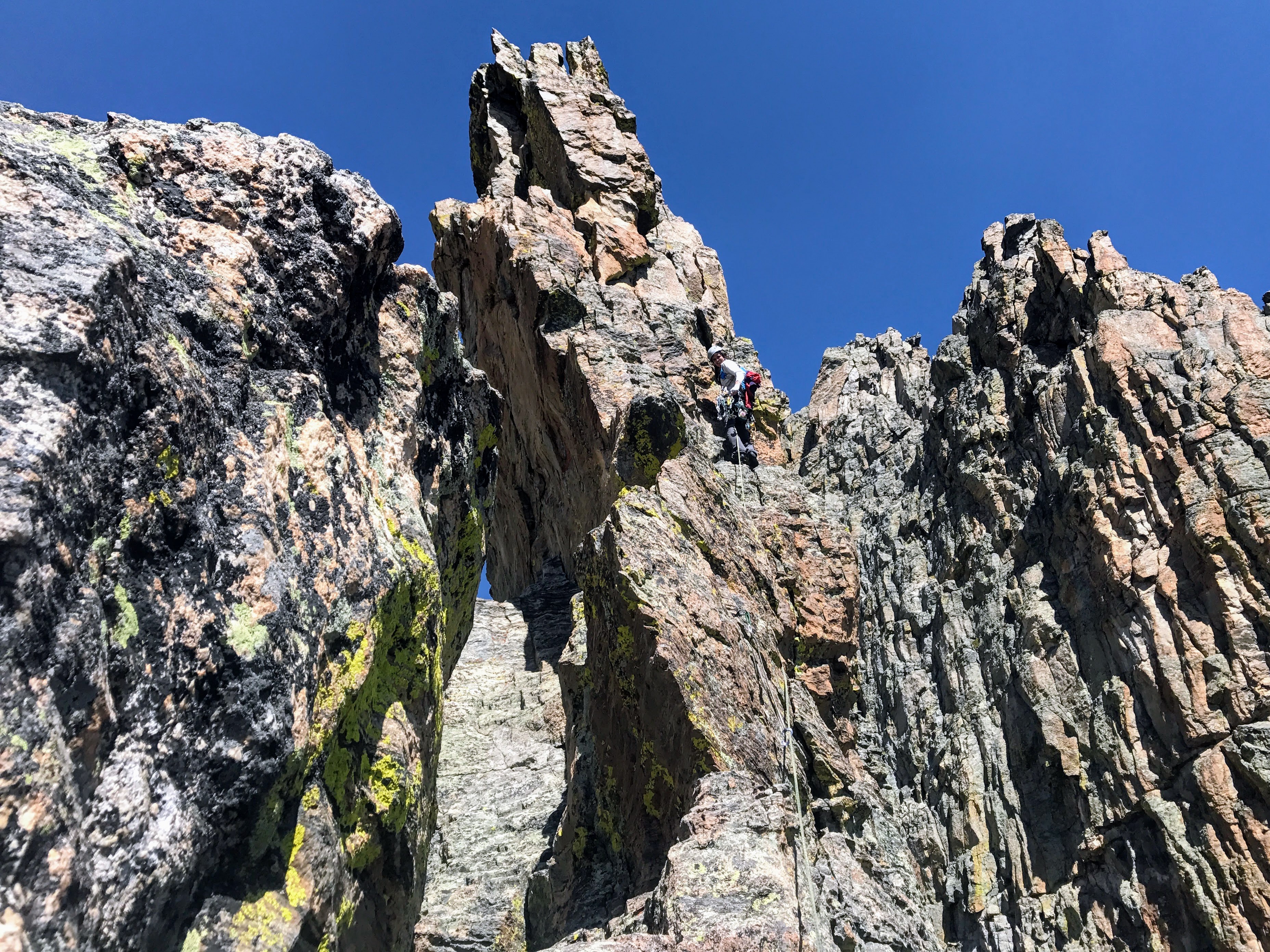
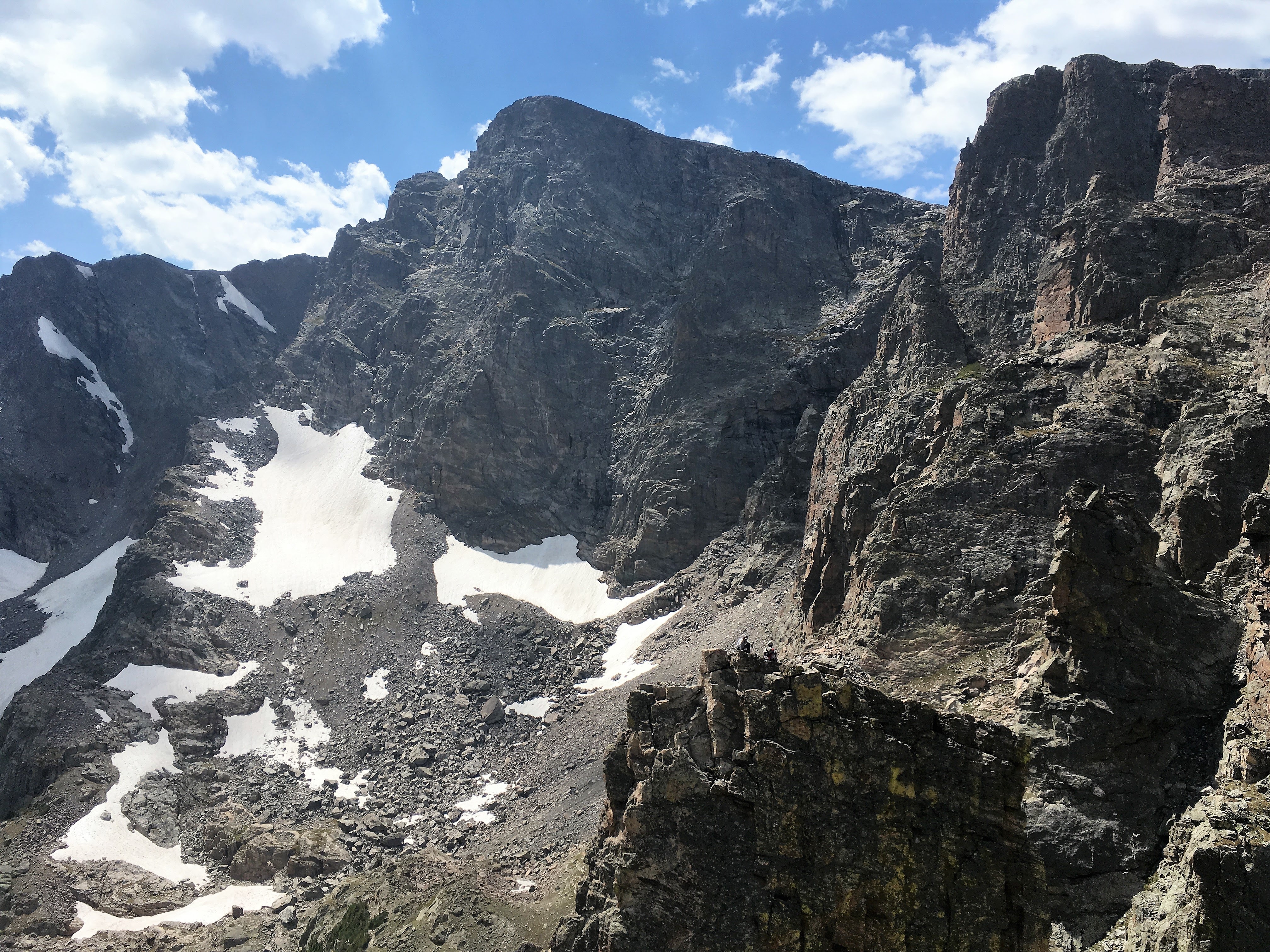
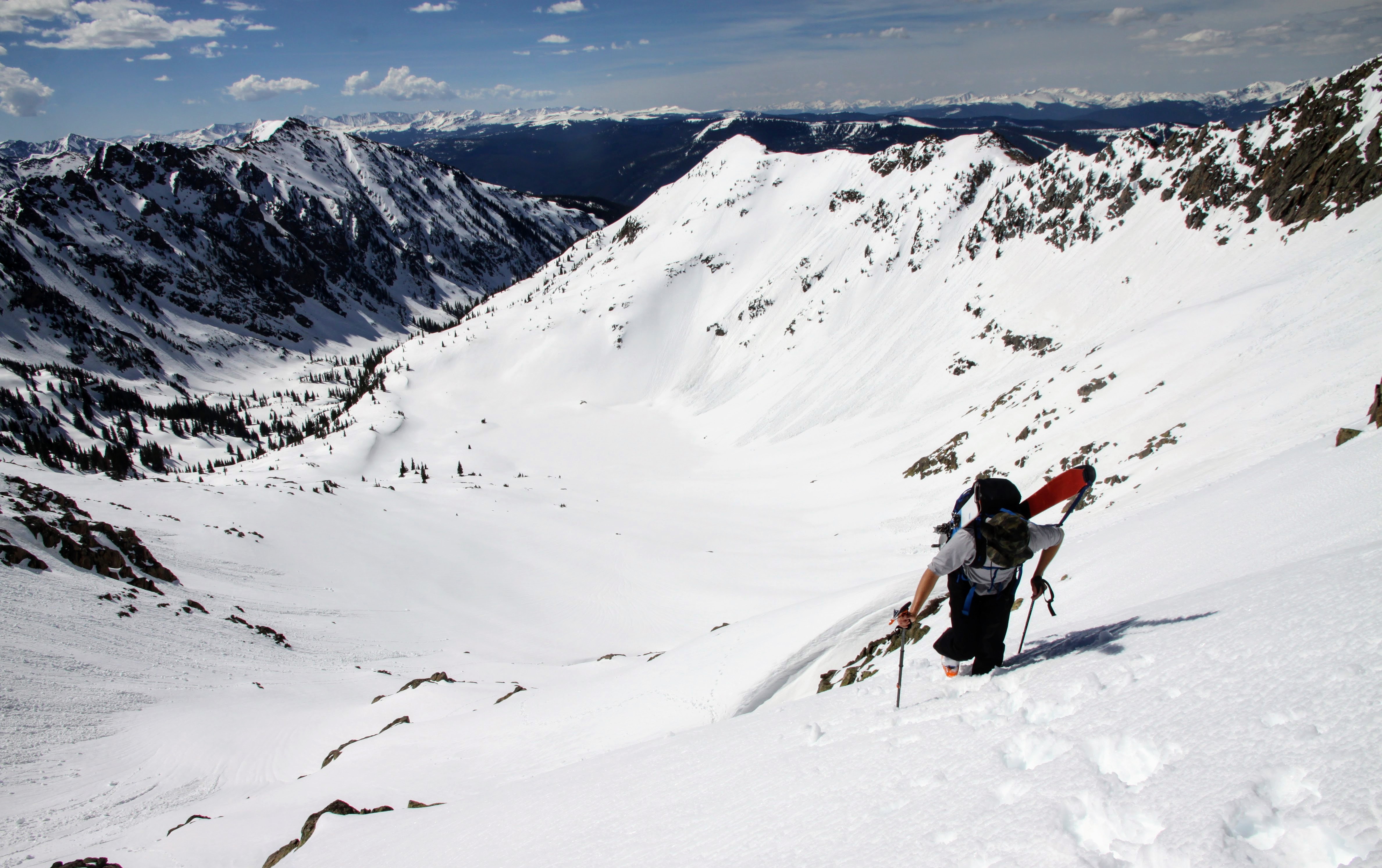
J had a nice descent as he skied all the way down to where we started the ascent. The rest of us cruised down enjoying the views and the awesome spires. At this point we were a bit ahead of Rob & Kev, but they Kev kept plugging away and Rob stayed with him. Kev may not be the fastest mountaineer on the planet, but he sure can go on and on and on. Kev did so well.

Me walking down the Dinwoody Glacier
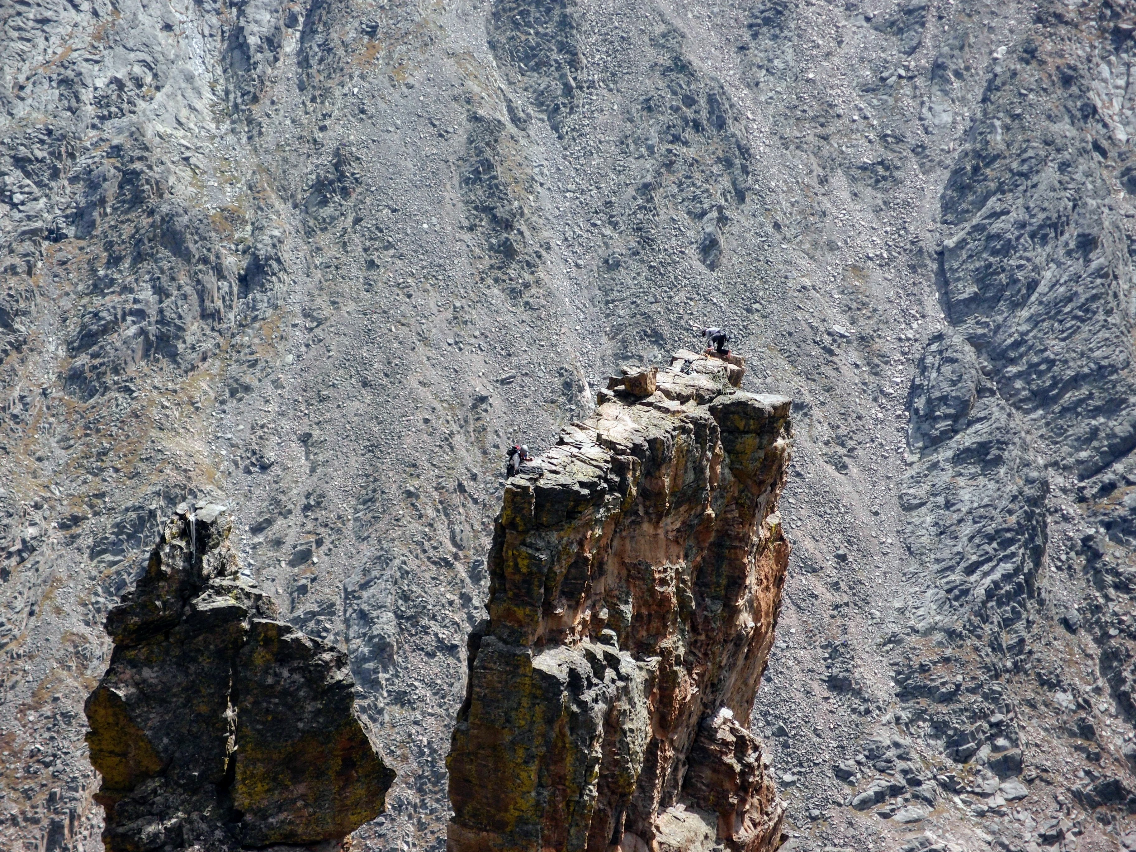
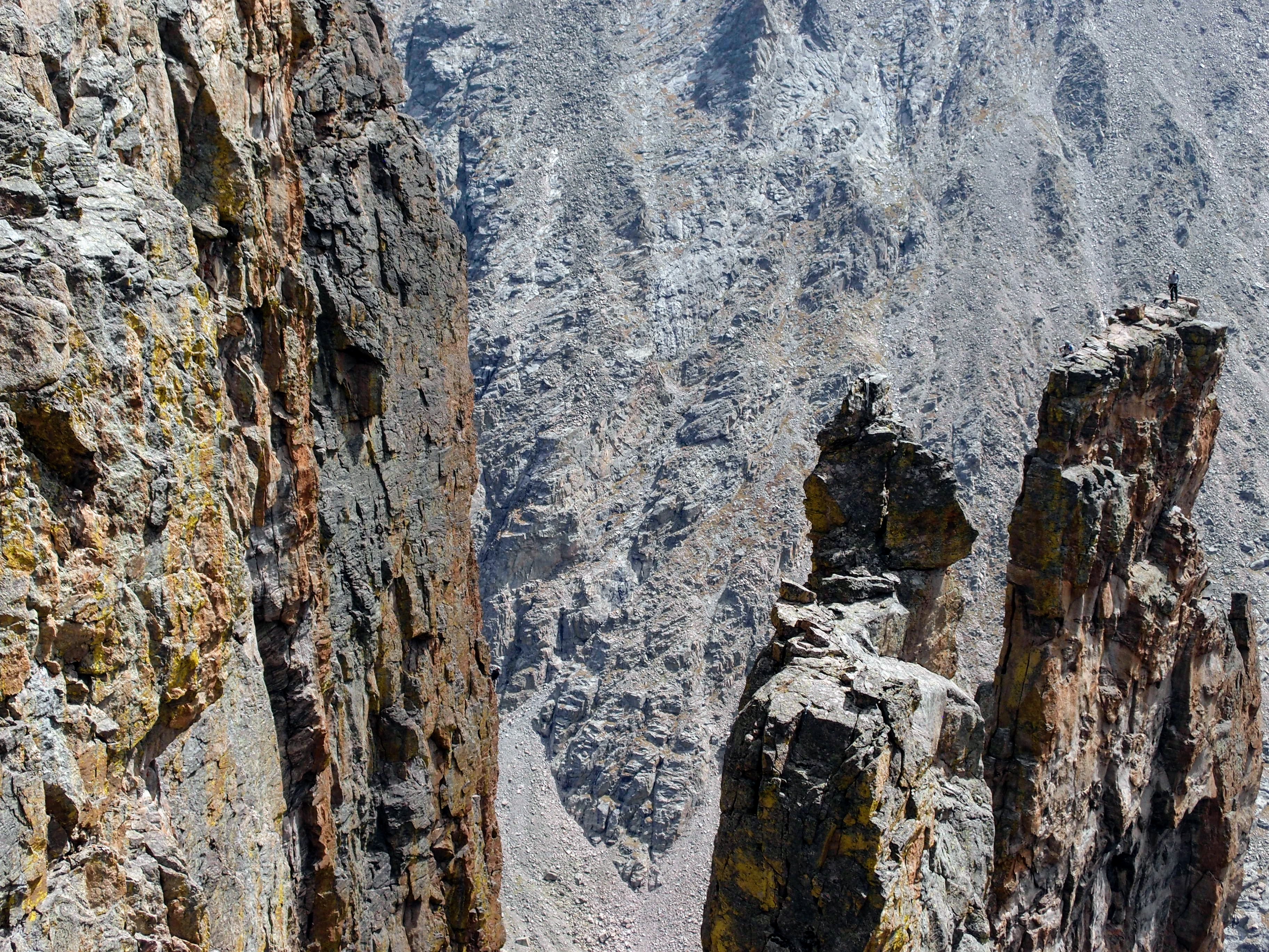
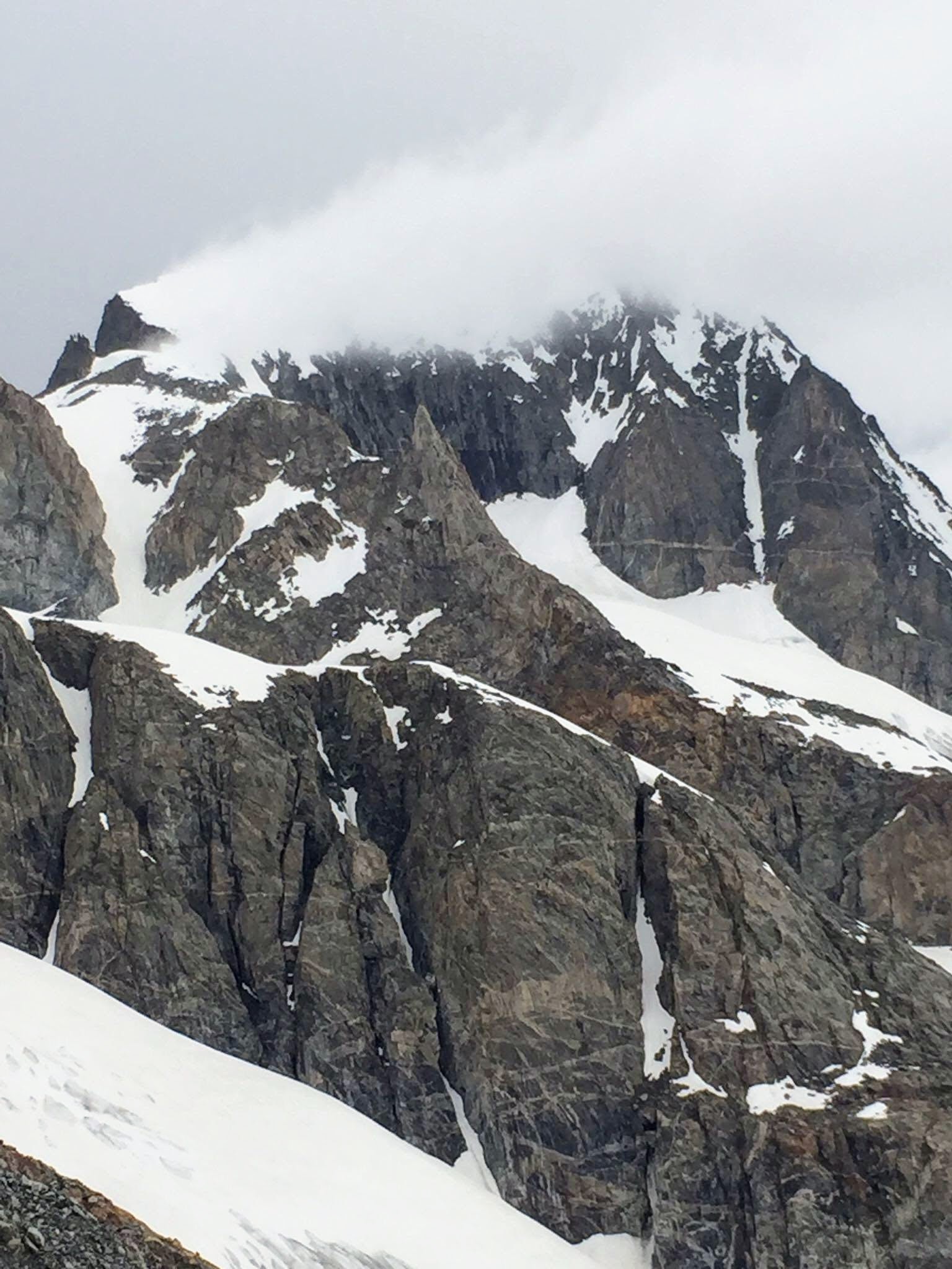
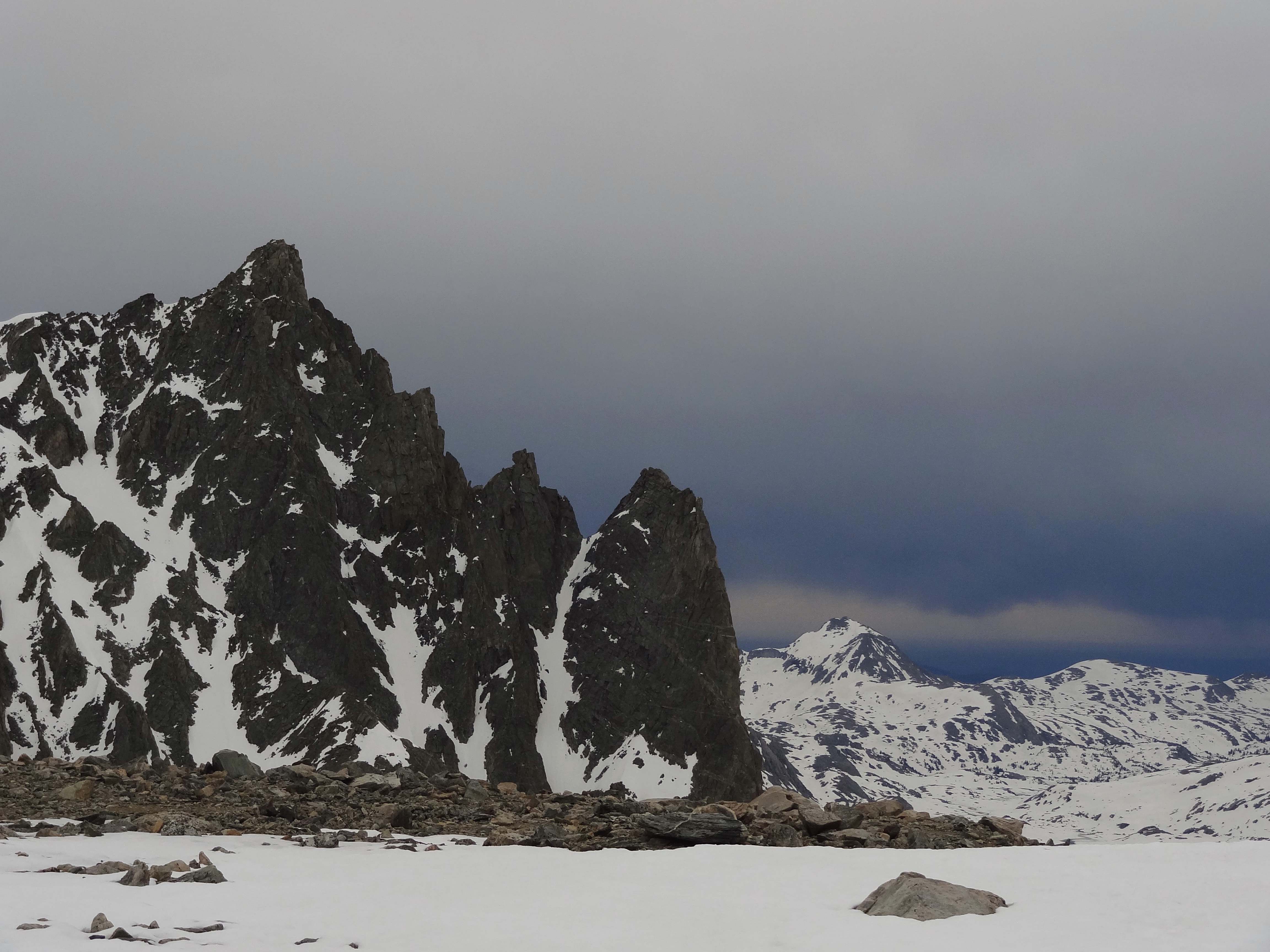
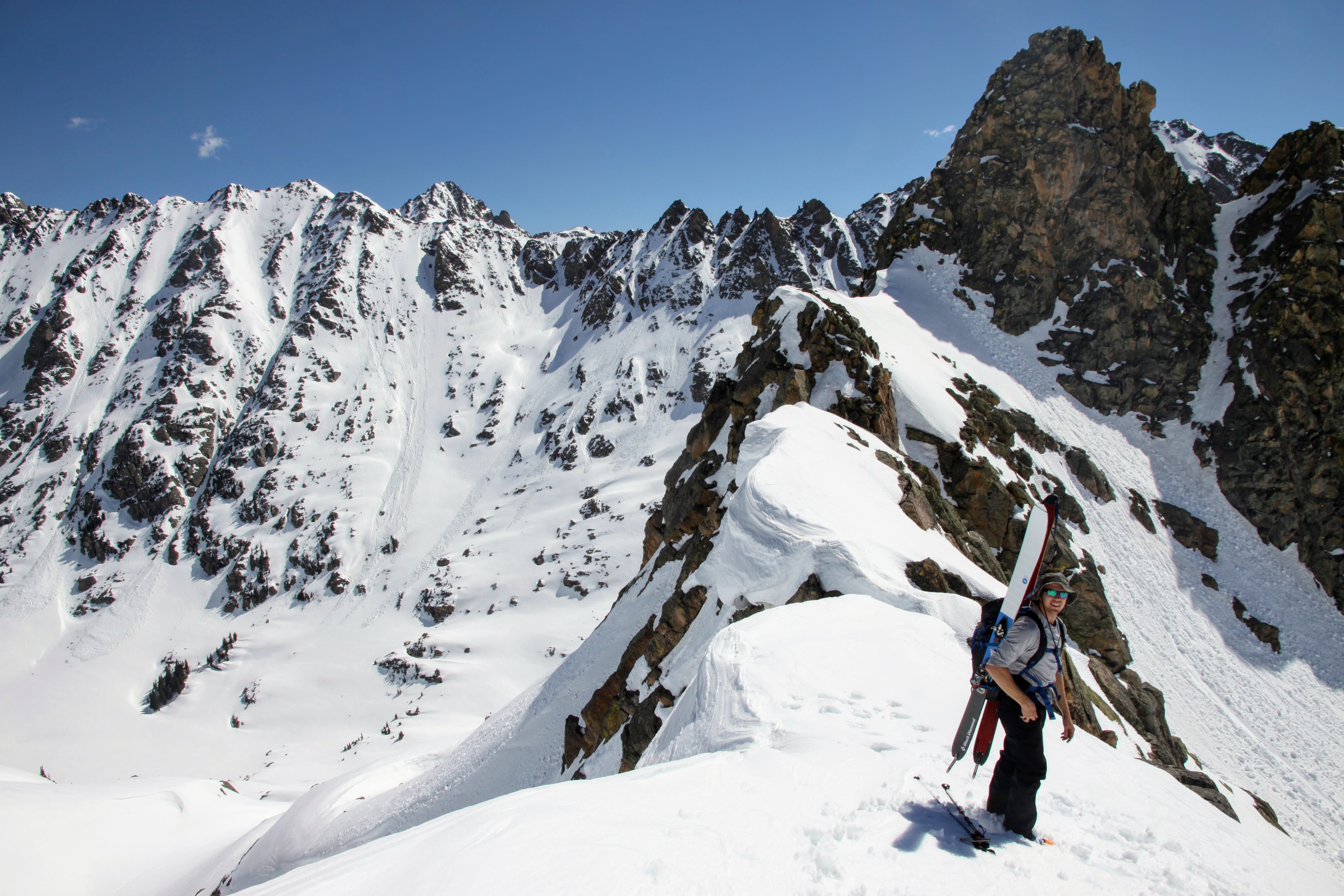
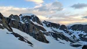
The Dinwoody Glacier and some cool spires
At our low point with Bonney Pass behind before our ascent up Gannett
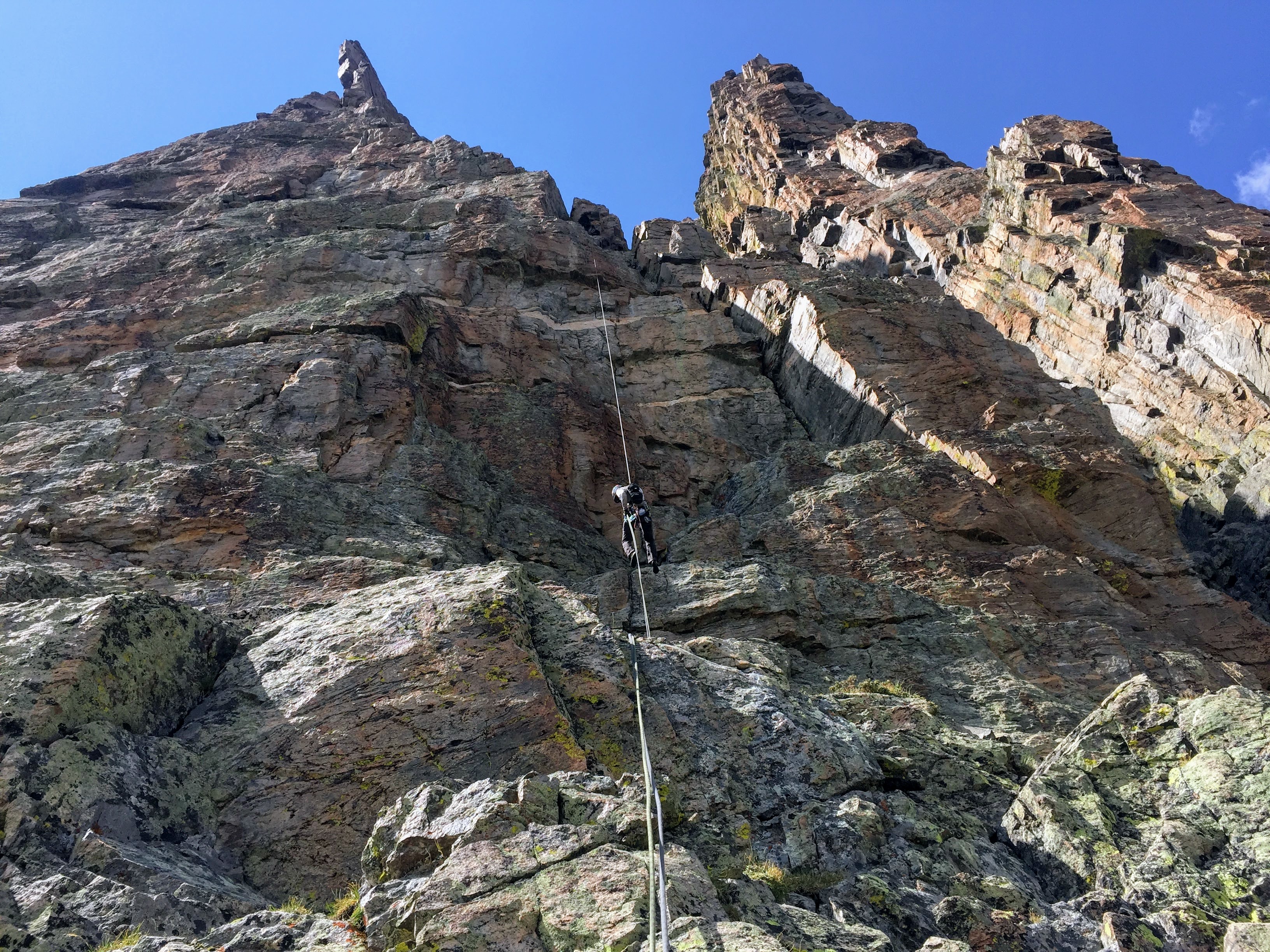
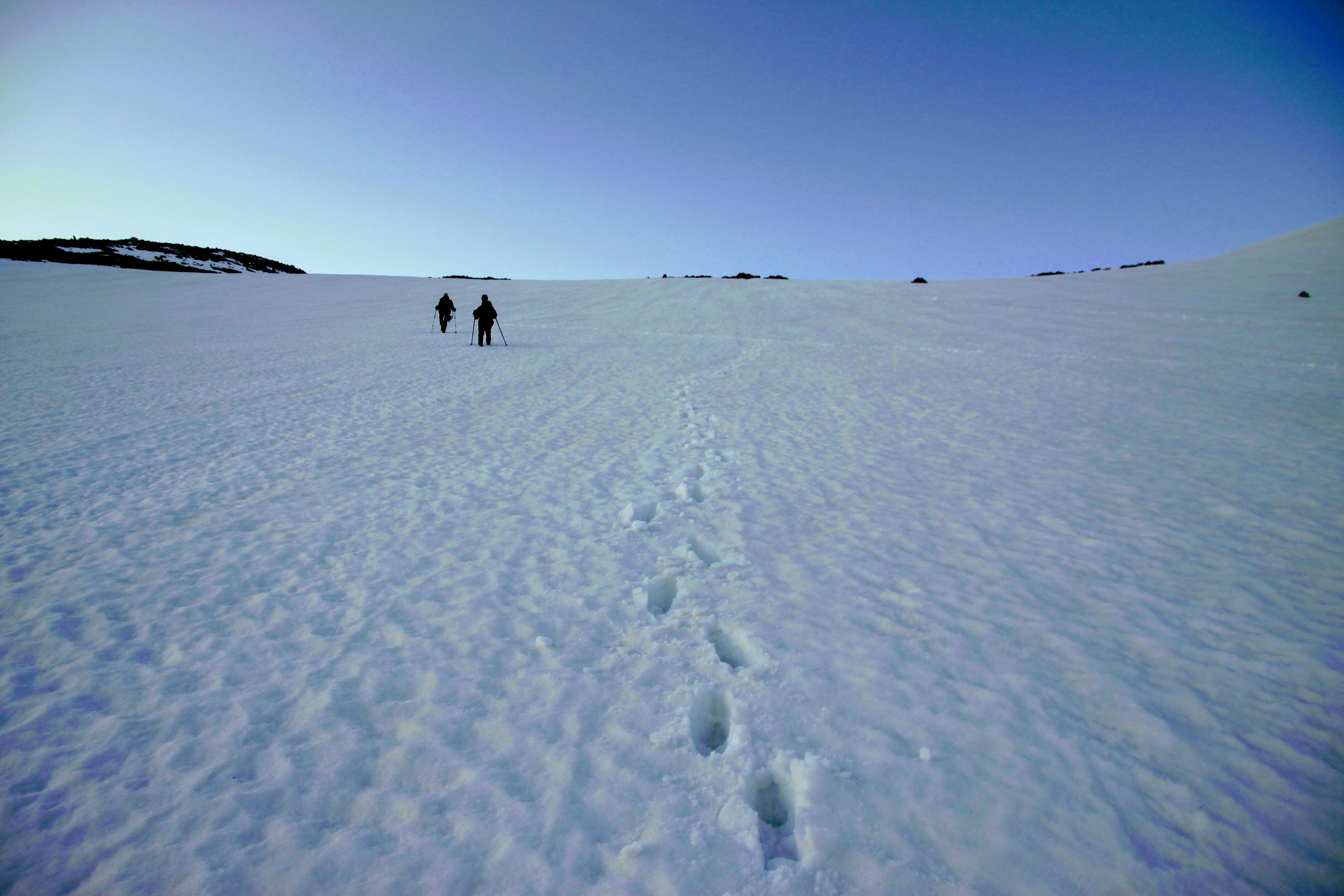
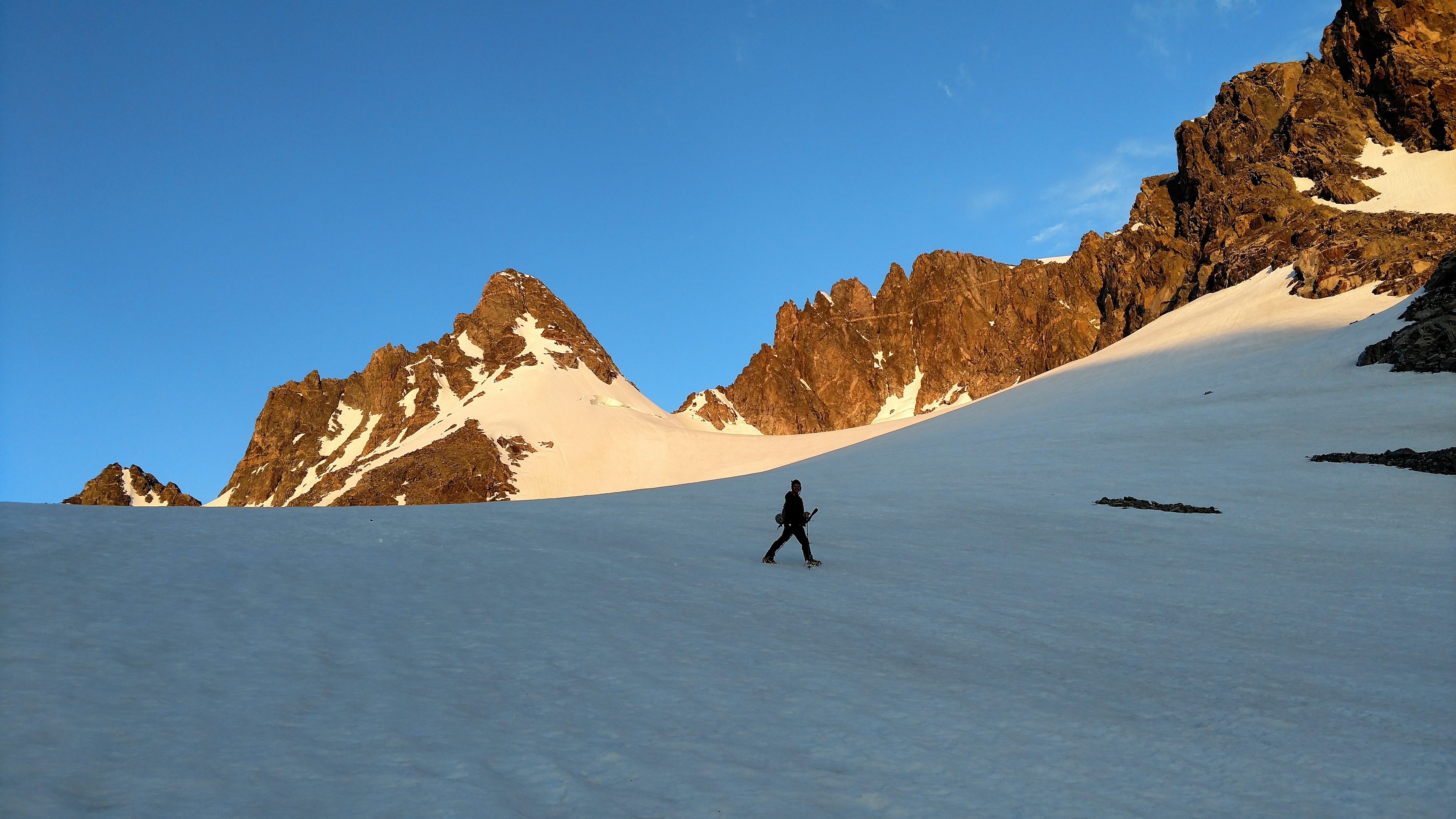
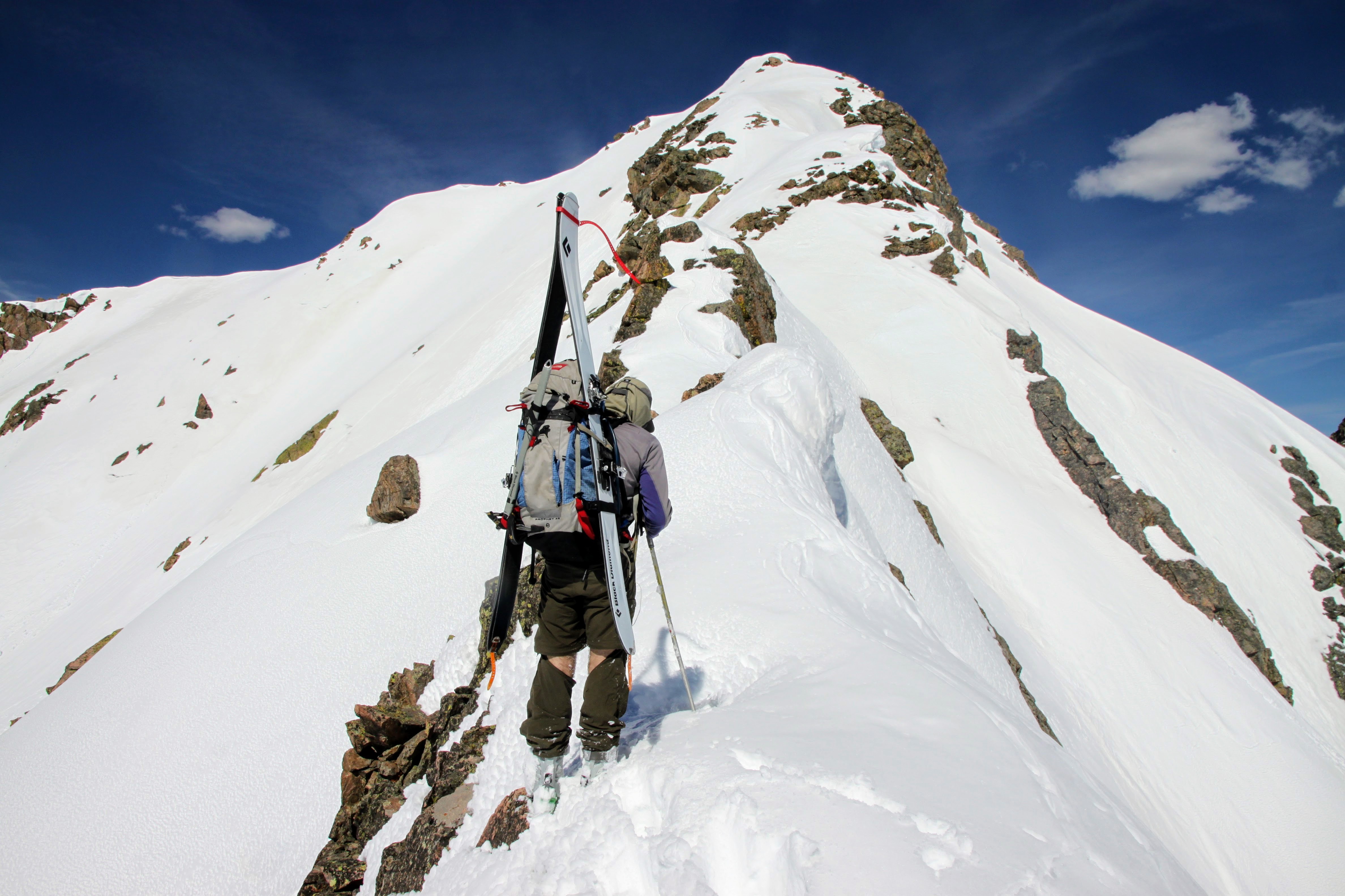
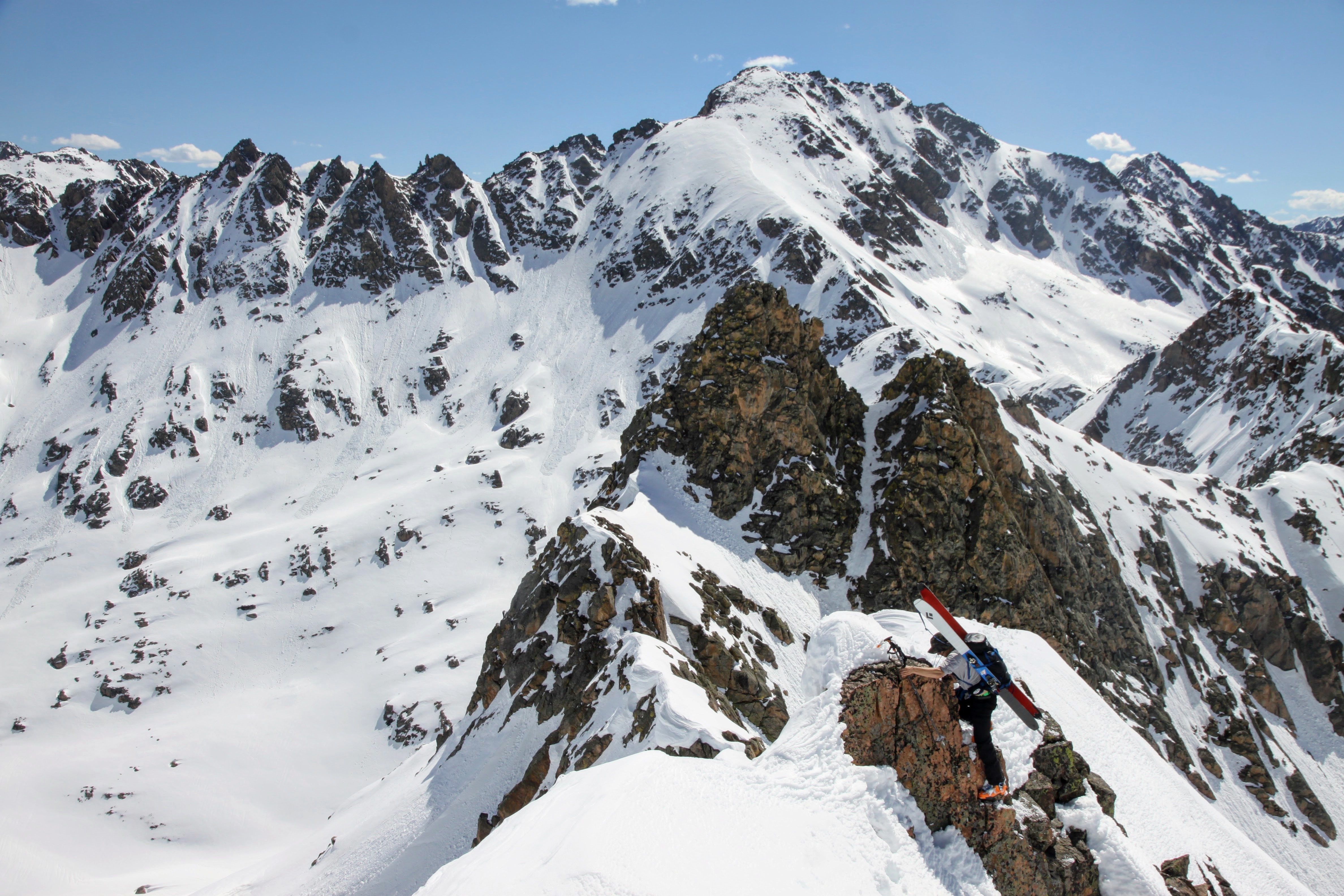
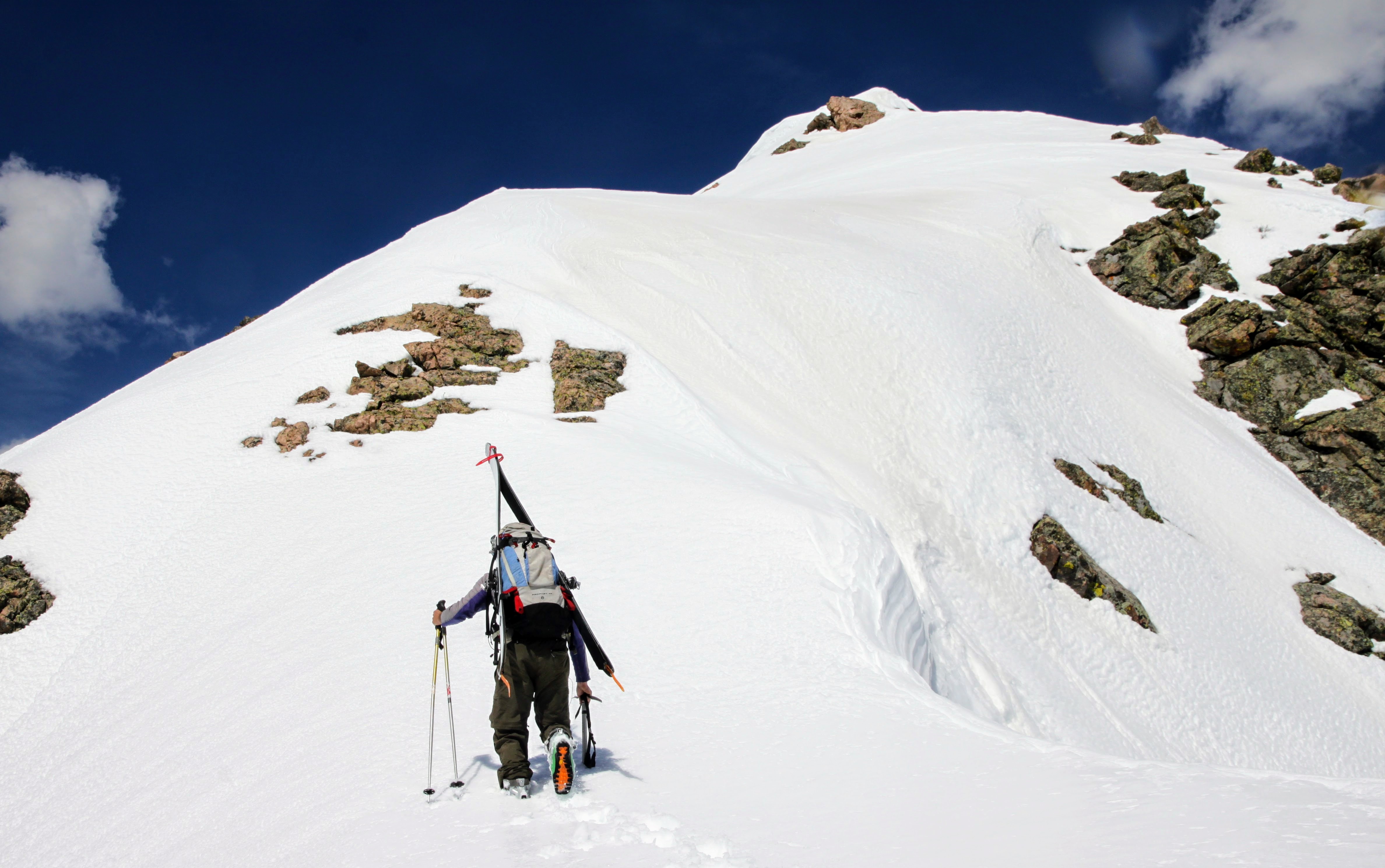
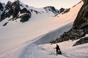
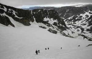
We regrouped at our low point and started the climb up to the Gooseneck Glacier via a slick little snow ramp/ridge. Billy was on fire and led the way.

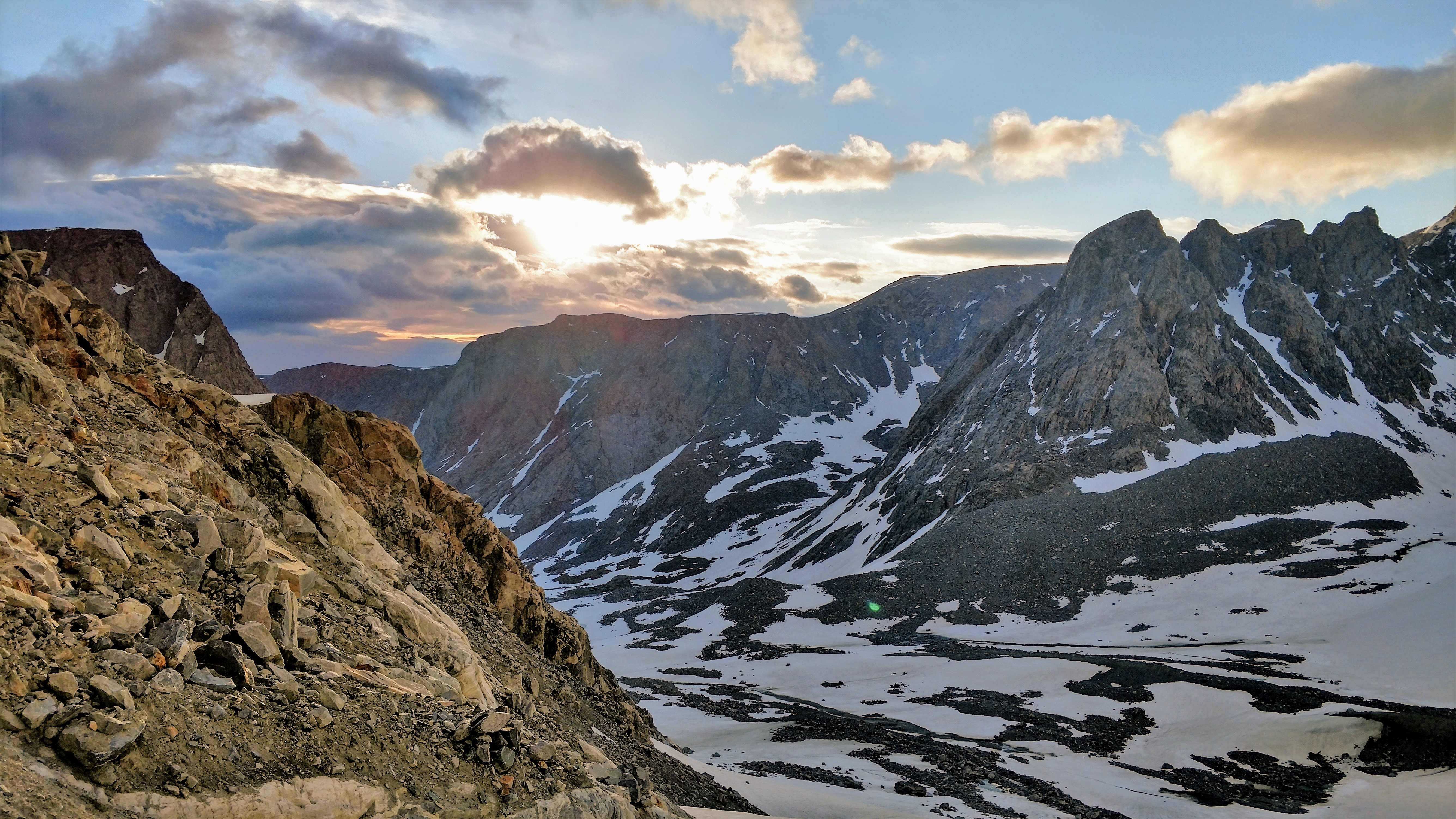
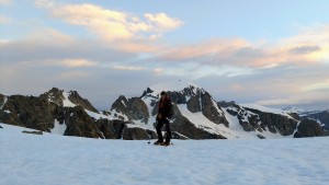
Good morning Winds
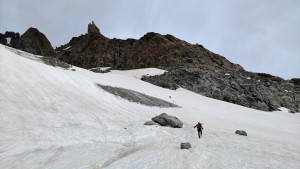
Me heading out to catch Billy
Billy on high speed
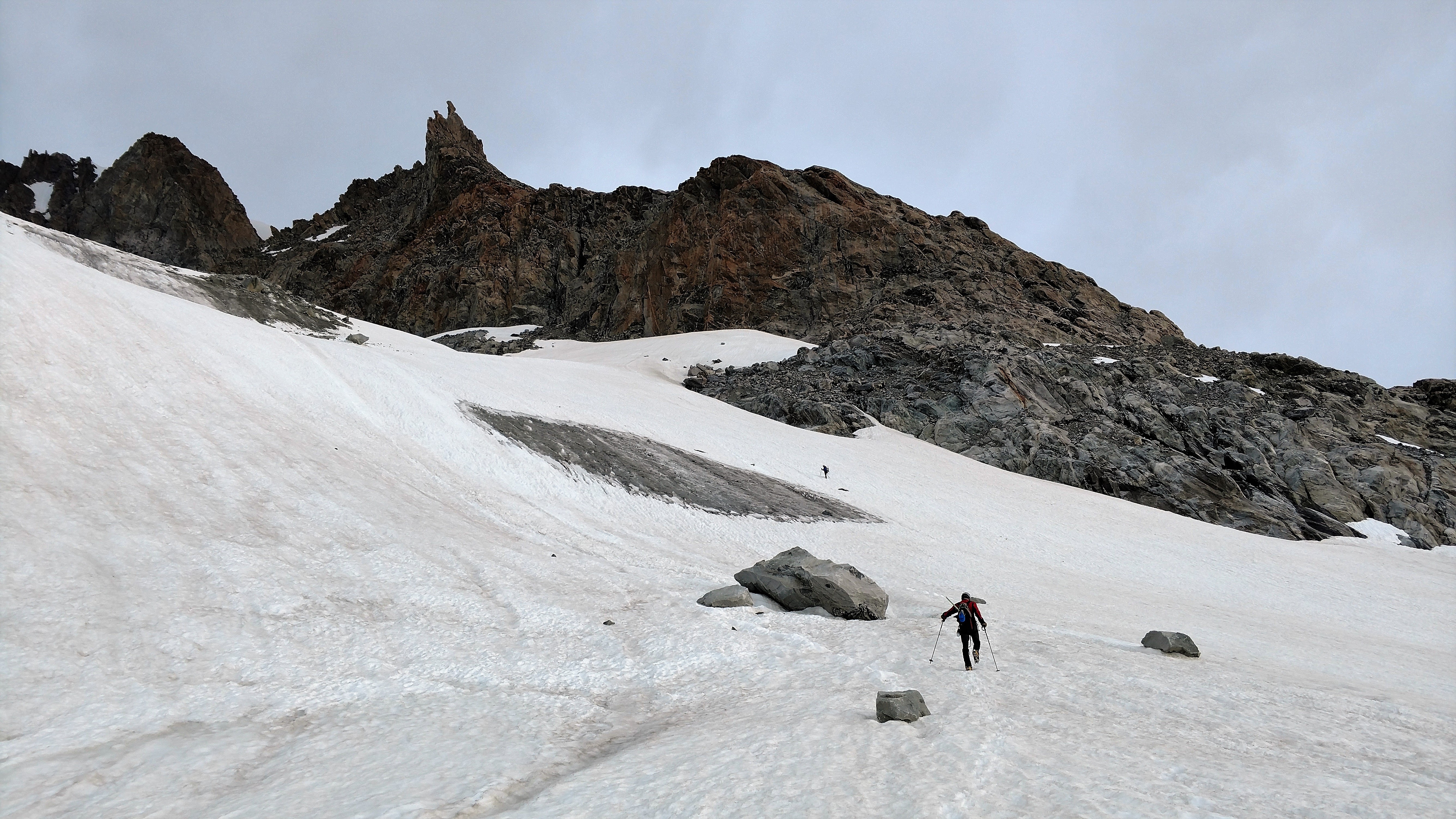
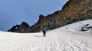
Ryan & Billy on the snow ramp to the Gooseneck Glacier

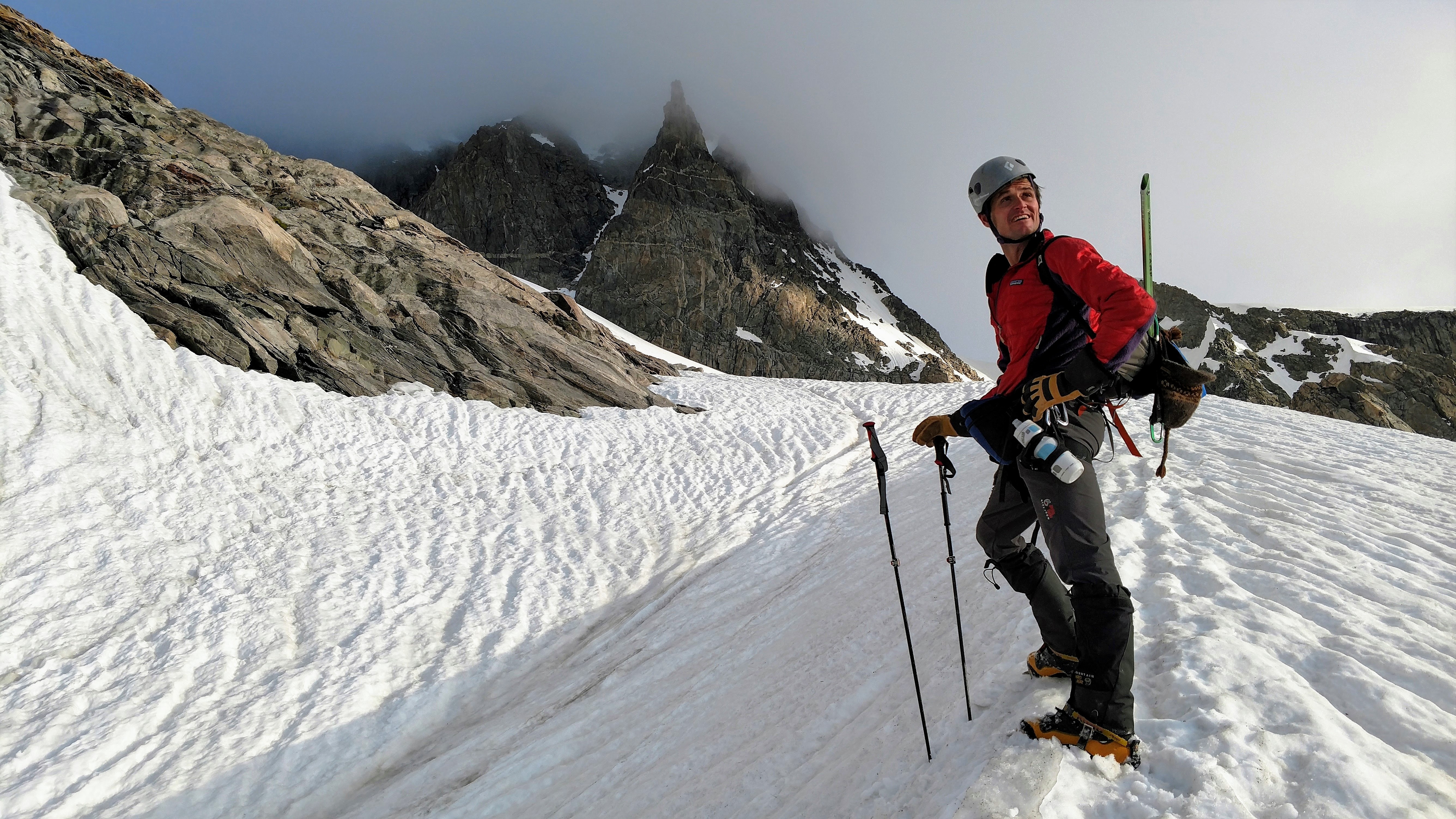
Marsters was admiring my red jacket and 2006 Koflach plastic boots here. Gooseneck Pinnacle can be seen above me in the clouds
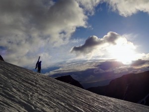
Kristine took this of J silhouetted against the morning clouds and sun
Billy stoked to be climbing Gannett
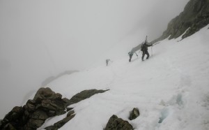
We met a team of four climbers coming up from their high camp on the east side of the peak. We exchanged pleasantries and continued on our way up the steep snow.
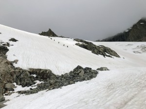
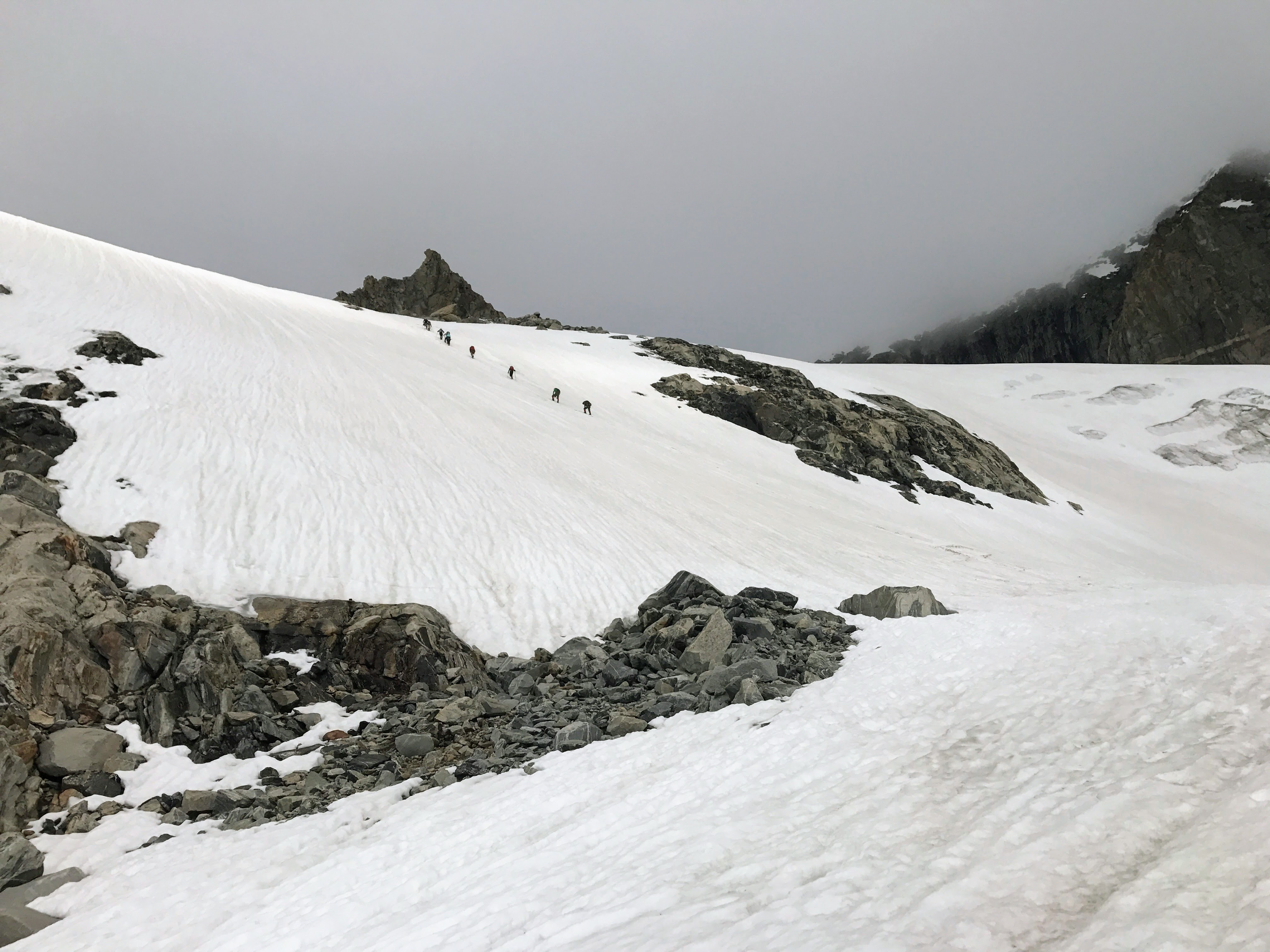
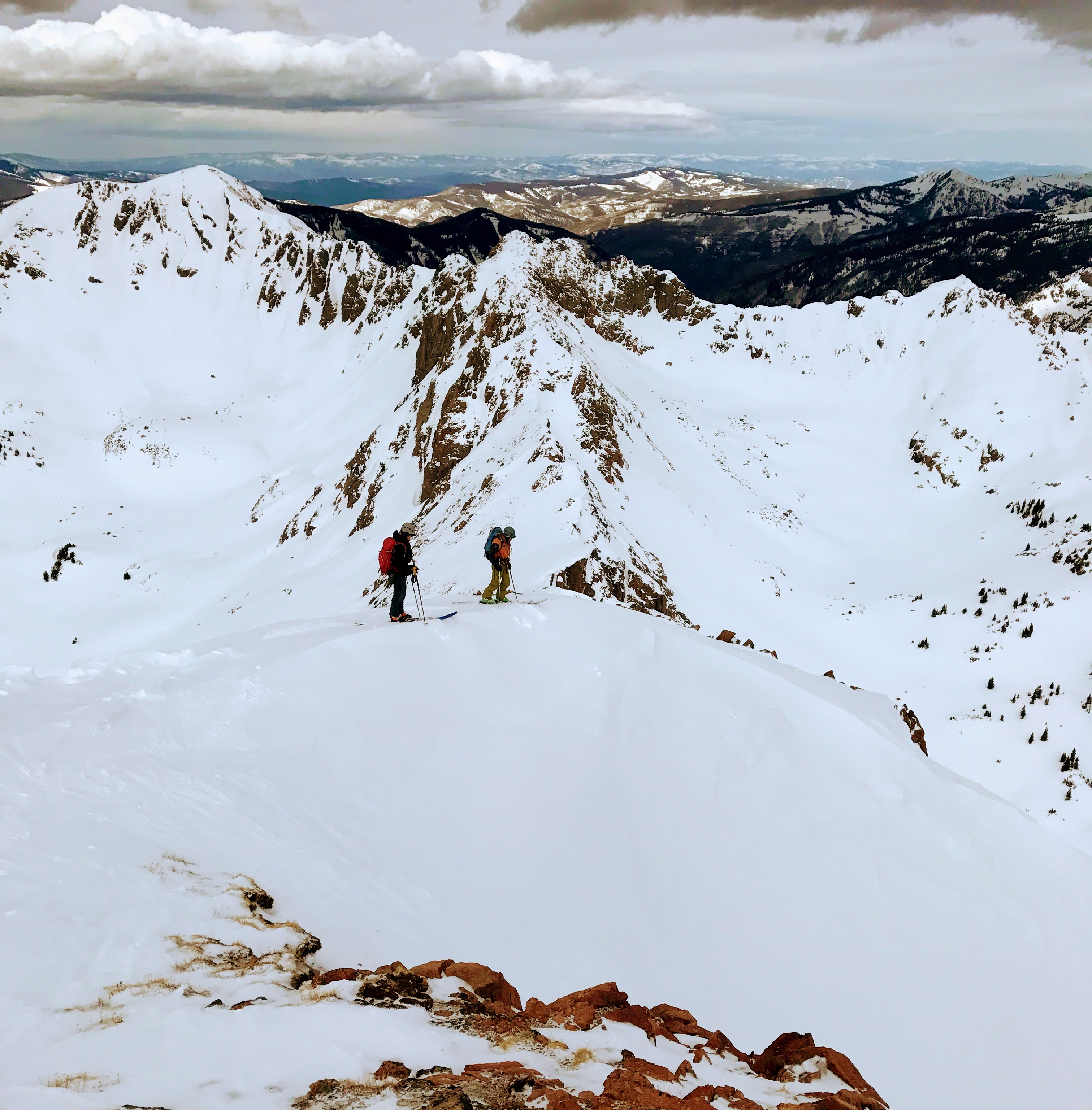
Our two teams climbing steeper snow to attain the Gooseneck Glacier and bergschrund
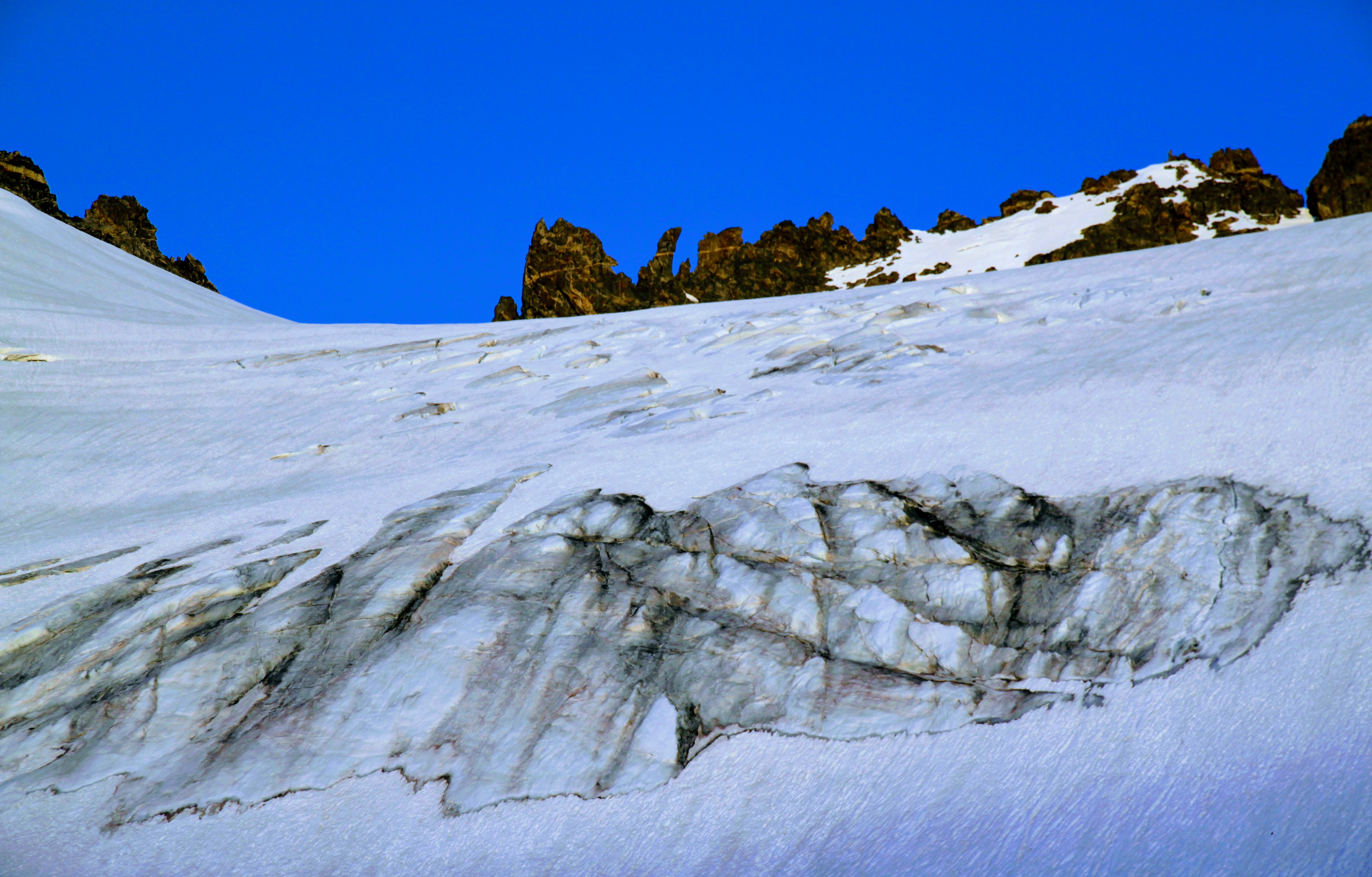
After another 30 minutes or so of more mellow snow climbing, we wrapped around to even steeper snow on the left and located the bergschrund or at least what we could see of it. We didn’t feel the need to break out ropes or anything. I just used my ski poles.
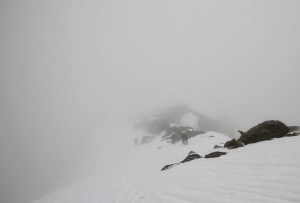
Making our way up to the bergschrund. The skies were definitely darkening by now and the summit was enshrouded in clouds
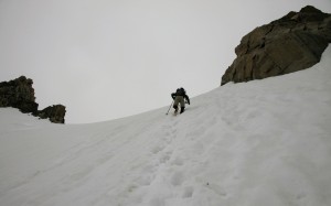
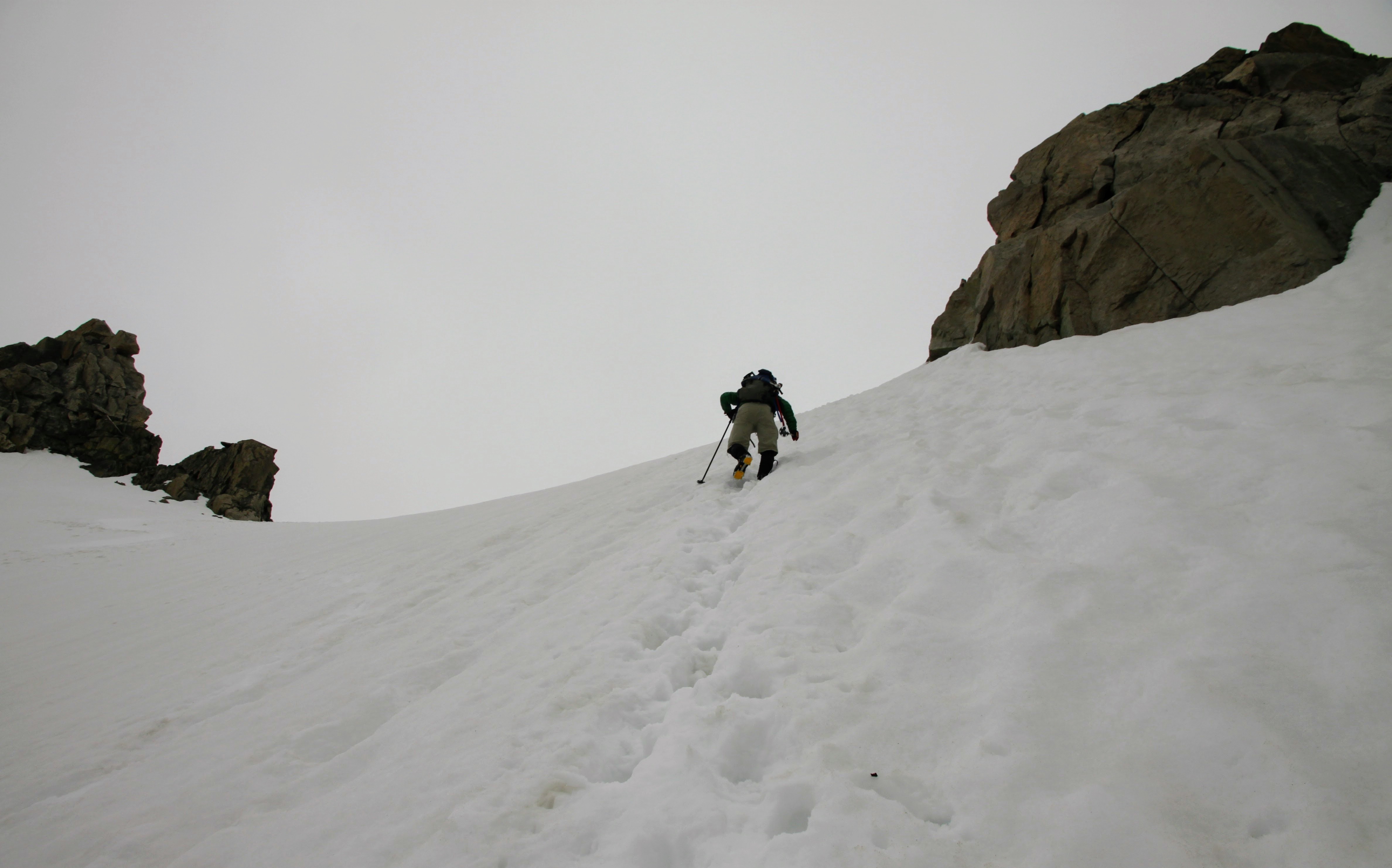
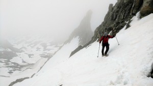
Marsters climbing above the bergschrund
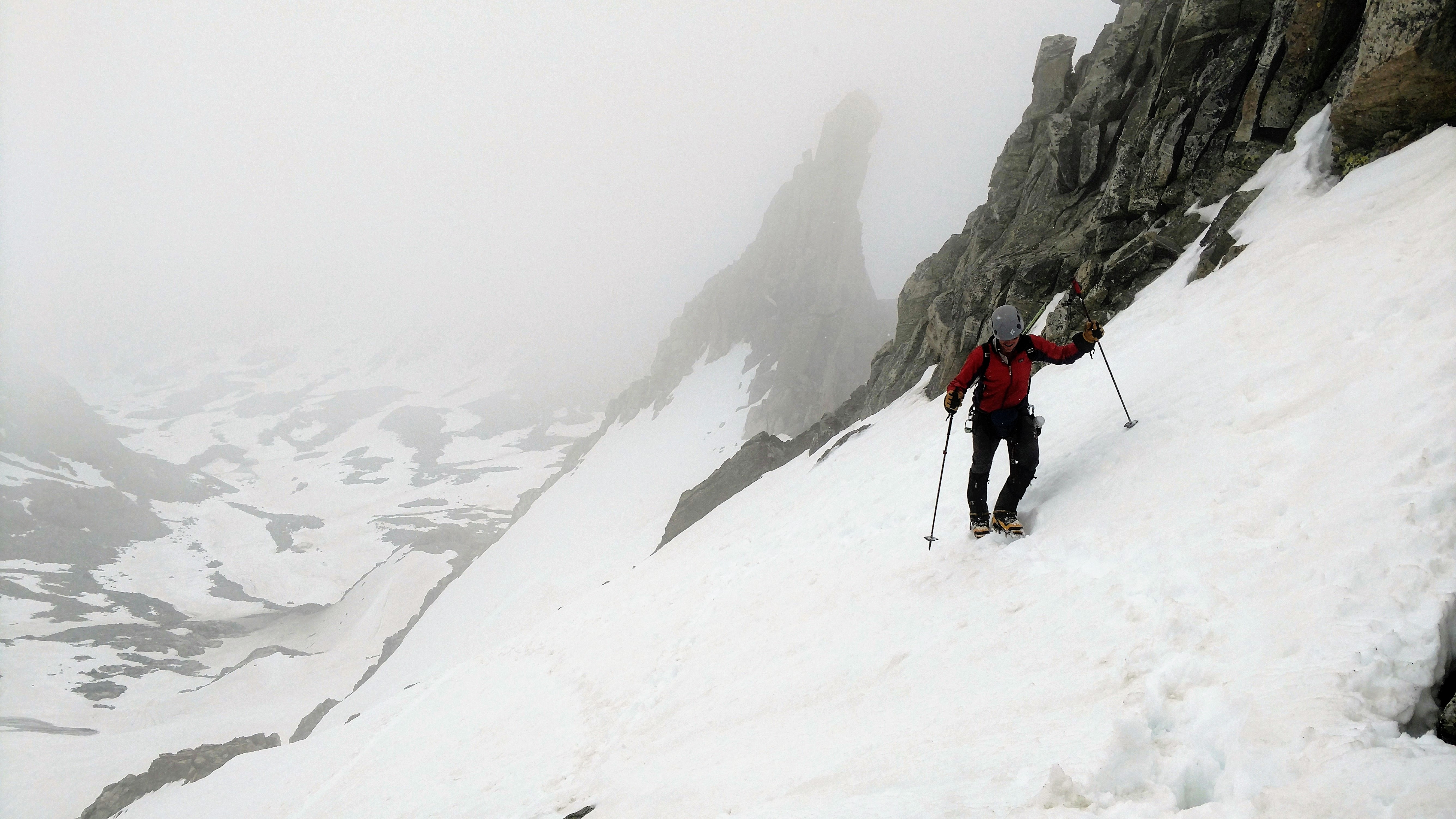
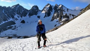
Me climbing above the bergschrund
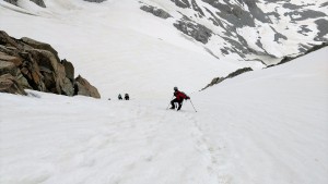
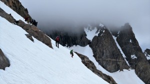
Kristine & Billy climbing steep snow above the bergschrund
Now, it was definitely getting dark and the clouds had enveloped the upper mountain. We were climbing in a cloud and it graupeled every so often. We kept chatting with each other about how it was only 8:30am and that these clouds would burn off because the forecast was for a clear morning. Also, the clouds allowed for nice, cool temperatures for climbing. It was great. We did switch to ice axes once on the ridge since we were traversing snow slopes above a 400′ cliff.
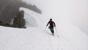
Marsters shot this of me climbing with Gooseneck Pinnacle behind
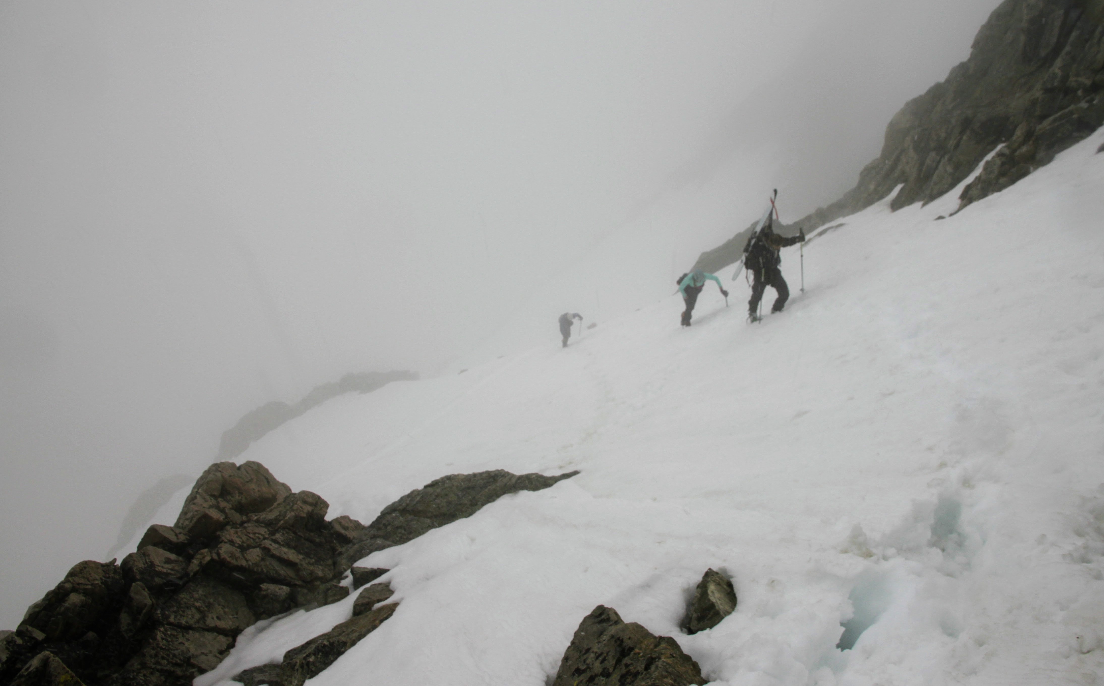
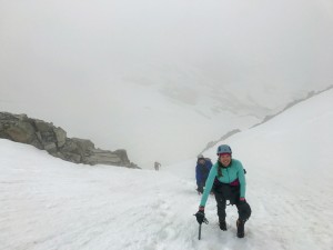
J, Kristine, Billy, & Mikey climbing the steep snow into the clouds
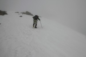
Ryan climbing ahead of me into the abyss
The wind seemed to be picking up as was evident when we passed the notch in the ridge, but it quickly subsided on the snow slope.
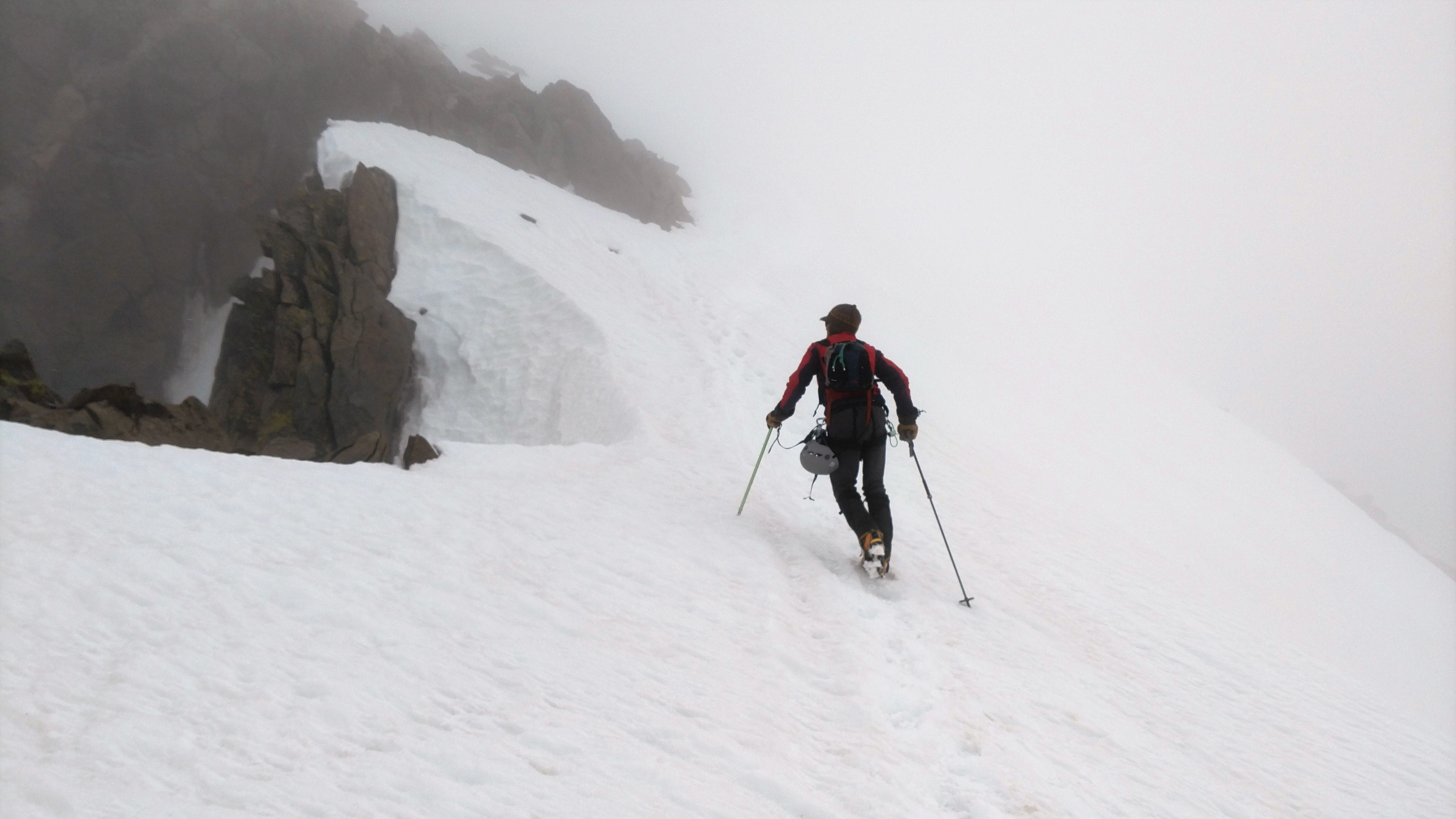
Me passing the notch on the ridge to my left
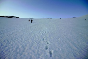
Our team making our way in the cool, seemingly nice climbing conditions
At this point it was maybe near 9am. Rob & Kev were behind us maybe an hour or so having descended the north side of Bonney Pass. The other team of four was behind our crew of six. I remember Marsters and I chatting about how this is such pleasant climbing and how we only have about 150′ vertical to go and a 5 minute easy stroll across the summit ridge. When, all of the sudden, there was a mega flash in the ski (which somehow I didn’t see – maybe I blinked) and a huge crack of thunder enveloping us almost instantaneously after the flash. Marsters saw the flash. We were “in” the lightning cloud. It was absolutely terrifying. I was thinking to myself “how is this happening to me again!” Nonetheless, our fight or flight instincts took over and we were running down in our crampons with our ice axes in hand alerting J, Kristine, Billy, & Mikey to turn as they were preparing to do anyway. Mikey asked me if he thought his snow picket was buzzing and I replied “yes, buddy, its buzzing. Get going”. What I didn’t realize at the time was that J had to transition to ski mode, so he obviously took longer to start going down. But, once he got going, he was gone. To ski 40 degree snow above a 400′ cliff in a lightning storm, ummmm no thank you. But, J did it without a hesitation. The other group of four climbers obviously turned as well and we passed them on the way down above the bergschrund. They had asked if we had summitted only to reluctantly say “no, but oh so close”.
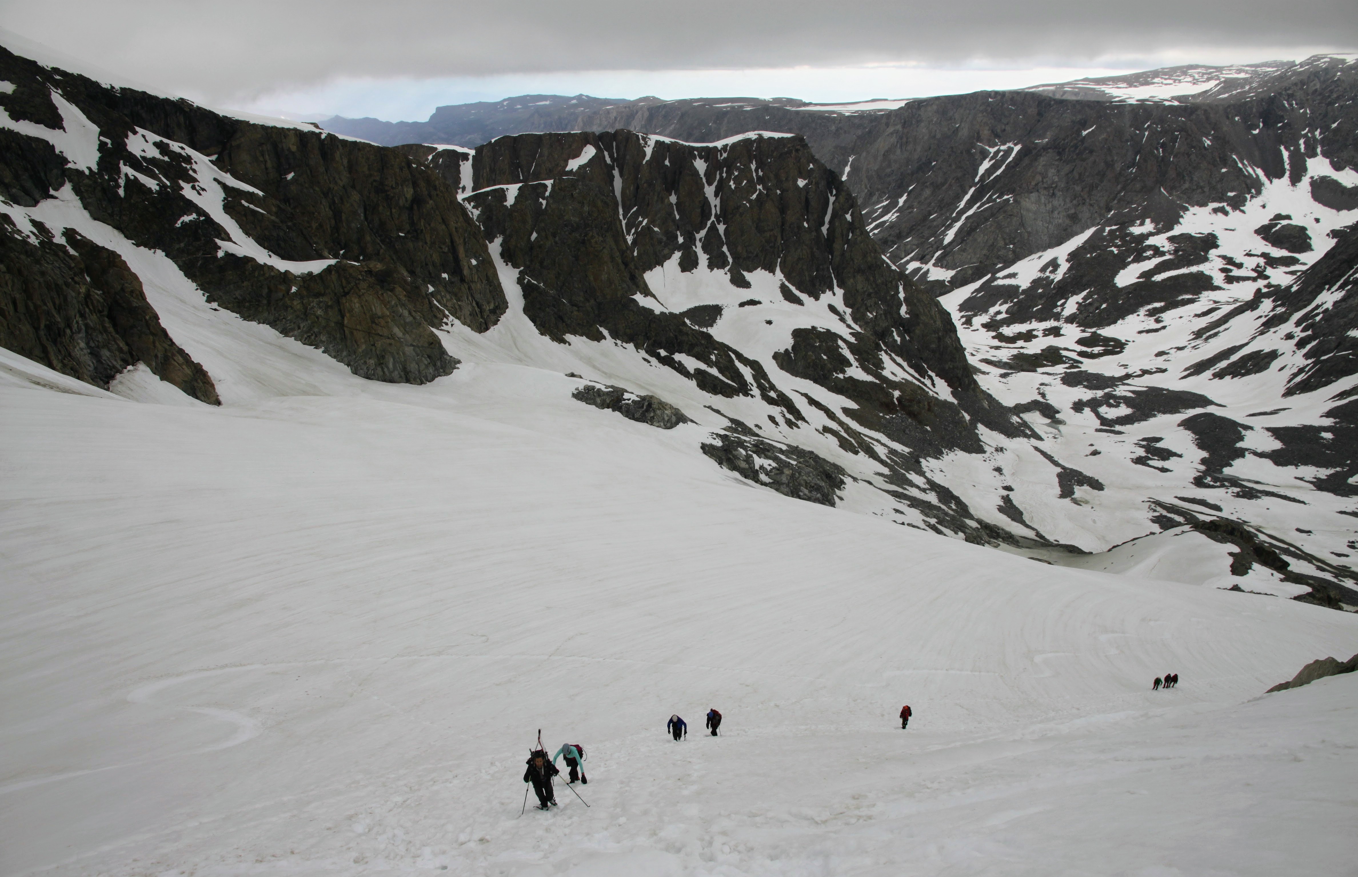
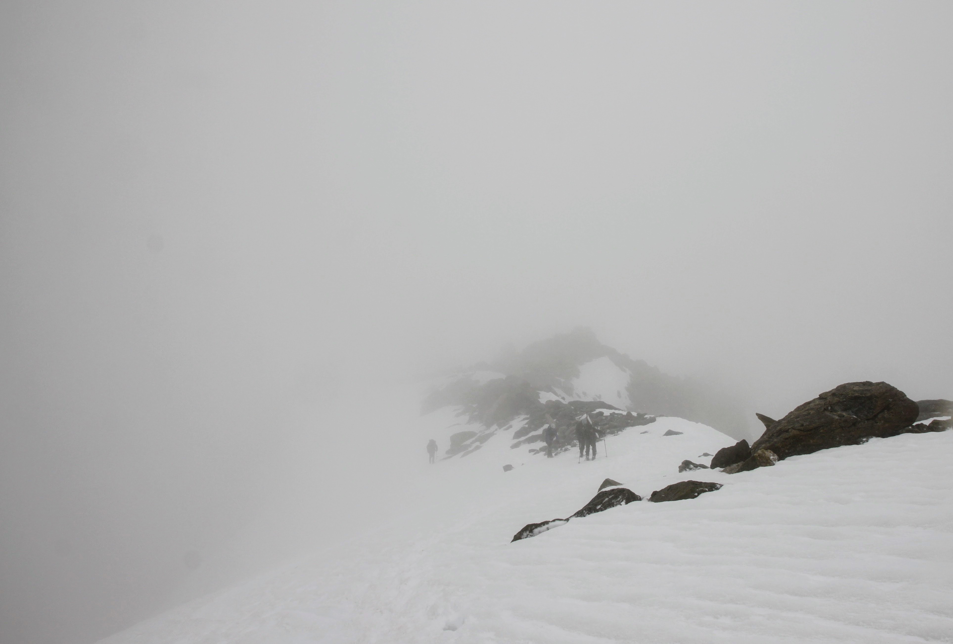
The other team descending down to the bergschrund now out of the cloud
We descended as fast yet as safe as we could trying to get to lower ground. We eventually made it back to our low point and took a much needed break. It was so super scary to be up on the summit ridge in a lightning storm, but we all felt better now. Rob recalled that as soon as he and Kev saw and heard that lightning and thunder almost 2,000′ above, they got down and threw their packs and everything metal 20′ away. This was Rob and Kev’s view of the summit ridge while we were climbing it (though I don’t think being in it was as bad as this pic makes it look):
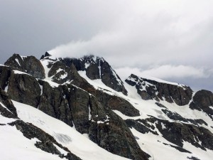
Gannett summit ridge while we were climbing it
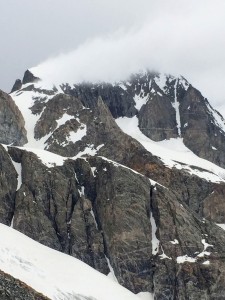
A close-up. We all agreed it looks like the typical Everest plume of snow
After regrouping, collecting our thoughts and, settling down a bit, we started the long 1,200′ ascent back up to Bonney Pass. The clouds were definitely still present and it was scary to have to reascend back up to 1,200′ just to get out of here back to our tents. Kristine led the way setting up a nice booter and she was off. Marsters and I couldn’t catch her. She was on cruise control. Once back on Bonney Pass the southern skies looked equally as nasty.
Looking south from Bonney Pass for the 2nd time this day
Billy, J, & Mikey were behind me, Kristine, & Marsters as we descended Bonney Pass pretty fast to Kevin and Rob down lower. The threatening weather had abated for the time being and we all felt better. J skied down Bonney Pass again and was gone down Titcomb Basin back to camp pretty quickly. Ahhh….the advantages of skis. Still, I do not regret not bringing my skis due to that awfully long approach. Marsters and Rob made it back to camp fairly quickly on foot as well, but me, Kristine, Mikey, Billy, & Kev took our time. My old Koflachs were really digging into my calves and ankles and blistering the heck out of them, which hindered my speed for sure. Time for new mountaineering boots!
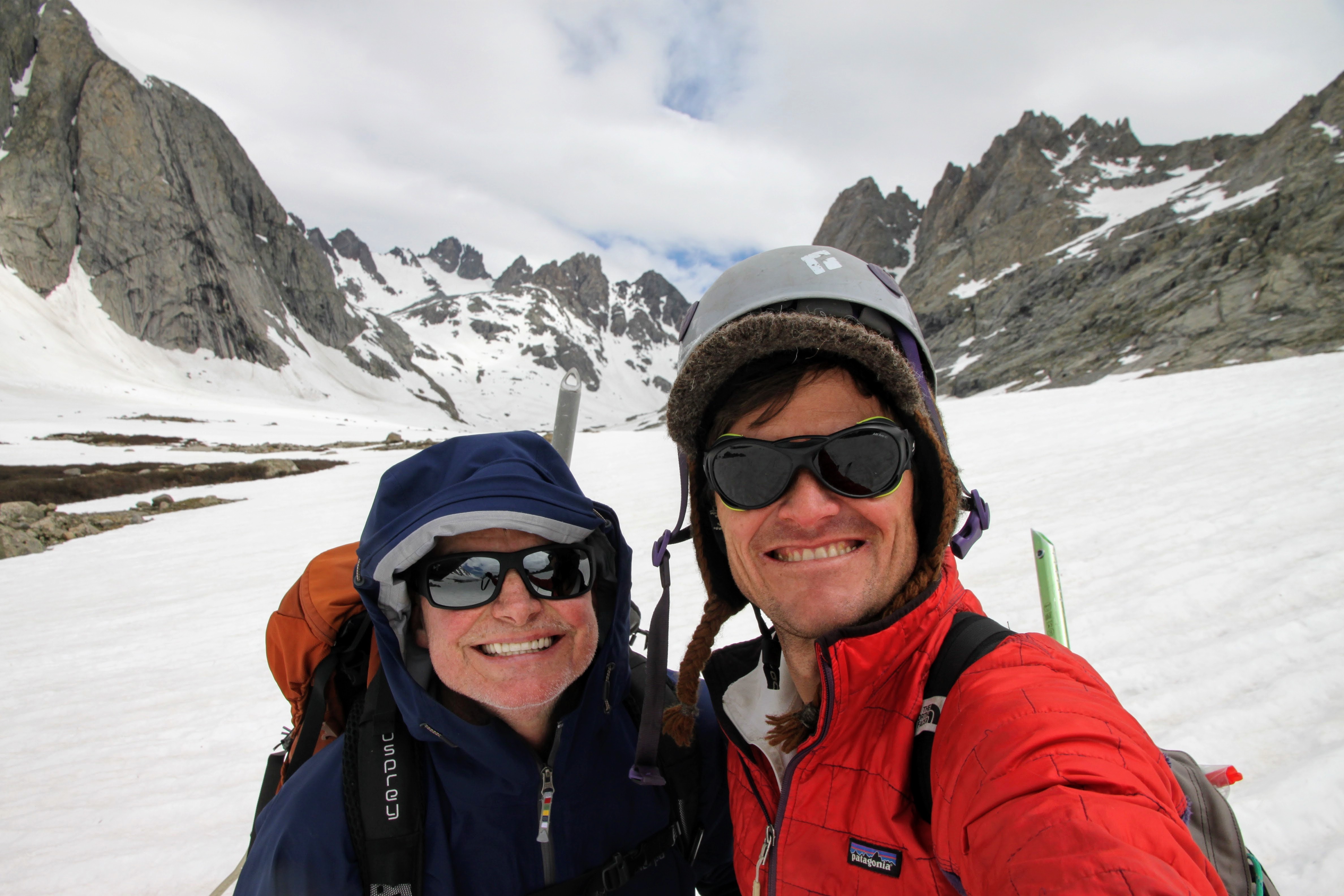
Me & Kev in Upper Titcomb Basin on the way out
Enjoying a break in the weather on dry ground en route back to camp
Passing by Middle Titcomb Lake on our descent
Unfortunately, wave after wave of thunder/lightning storm came in from the west and hammered us every hour. We waited until we heard a crack of thunder preceded by a flash and we immediately threw our packs and metal away from us and crouched down on our helmets. It was terrifying and brought me back to being in that lightning storm on the Tahoma Glacier on Rainier in 2009. We eventually made it to with a few hundred yards of camp when another wave filtered into Titcomb Basin. We left our gear and ran as best we could in the 6-8″ sun cups to camp and into our tents for shelter. I knew that we weren’t completely safe but felt mentally safer than being out on a glacier with nowhere to hide. Finally, we were able to relax a bit and let the anxiety leave our bodies. It was around 12:30pm-1pm for a summit day RT time of 10-11 hours. However, starting around 2pm, the next wave of storms started to roll in and these were even worse than the mornings and magnified tenfold. These were the biggest hail/thunder/lightning storms any of us had experienced. They were definitely terrifying – maybe more for me as I am terrified of lightning. I’ve had my fair share of run-ins with lightning. At one point I had gone over to Rob and Kev’s tent to chat and got caught in a storm in their tent leaving Kristine alone in the Bibler. Poor Kristine thought the boulder was going to get struck, split in half, and fall on the Bibler and her leaving Sawyer without a mother. I never left her and the Bibler again until the evening when things really quieted down. We all finally emerged from our tents to enjoy the evening.

Kev emerging from his tent that evening happy to be alive 🙂
Well, so much for weather forecasts. I don’t think they could have been more wrong. C’est la vie. The Winds really do seem to create their own weather. Joel had told us that snow showers were expected the following morning, so a summit attempt was likely out. Kristine went back to retrieve all of our flung gear later that evening with Billy’s help completely filling her pack with snowshoes, axes, etc. I never cease to be amazed by her strength. And, the next morning, we all awoke at 6am to nasty clouds and weather rolling in. Time to get the heck out of dodge. Marsters, me, Kristine, & Mikey sat out a storm consisting of thundersnow behind a rock almost at Island Lake hoping lightning would not be involved. Fortunately, we didn’t see any flashes. We had all had our fill of lightning to last a long time. As we rounded the southeast corner of Island Lake the sun came out and our fears were lifted. It was glorious. We ascended back to Indian Pass to see the rest of the crew rounding Island Lake and making their way just fine.
Marsters’ view of us ascending up to Indian Pass after the storm cleared
We really made good headway this day 4 and we made it all the way back to Barbara Lake for a nice camp on our final night. I think we were all motivated to get out and definitely get below treeline.

Kristine & I in our Sawyer hats with Fremont Peak behind. Sawyer is never far away from us 🙂

Rob and the team crossing the raging drainage from Seneca Lake again this time across big boulders

Reascending terrain back up to Barbara Lake
The storms left us alone for a good few hours during the middle of the day, but reared their intense heads yet again as we were rounding Hobbs Lake. Barbara Lake couldn’t have come soon enough as we had a severe hail, thunder, and lightning storm as soon as we got our tents up and I had built a small fire. Waiting this storm out for about an hour in damp clothes and socks and shoes was not too pleasant. But, it cleared and we resumed the fire building and my fire had survived the storm.
After the storm at Barbara Lake
The sun came out and we had a roaring fire and started to dry our shoes and socks out again. Man, it was so good to see the sun. J and Billy hiked up to this small highpoint behind Barbara Lake and our camp and immediately came down to tell all of us to come up. Kev was still napping in his tent, so he didn’t join us, but the views were outstanding in the alpenglow.
Fremont Peak to the right and Upper Titcomb Basin at left. Bonney Pass can be seen on the far left

Me and my wonderful wife
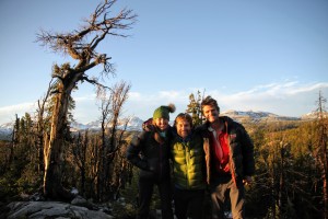
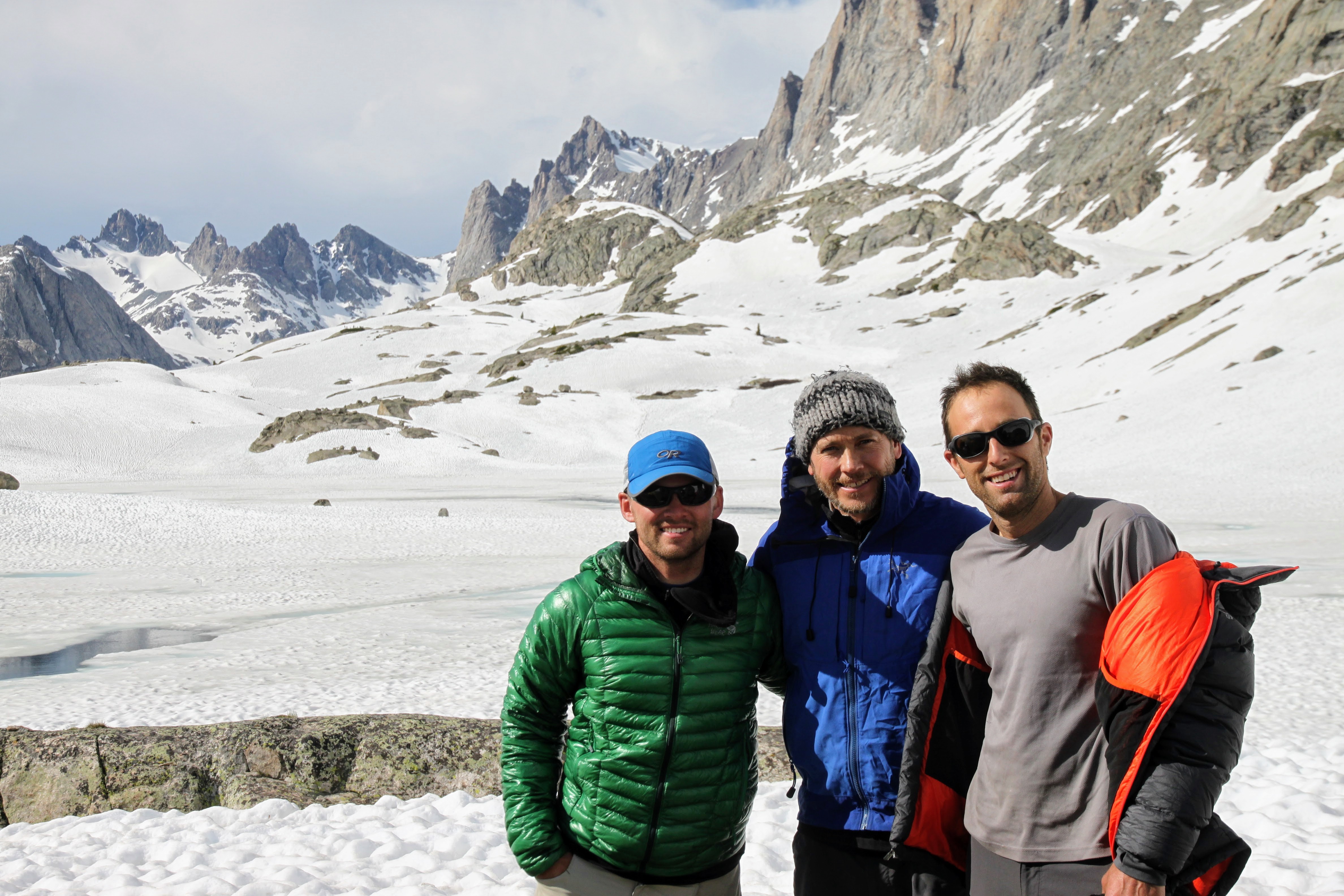
Great pals for a decade now with Rob ever since that fateful day on Denali in June 2007
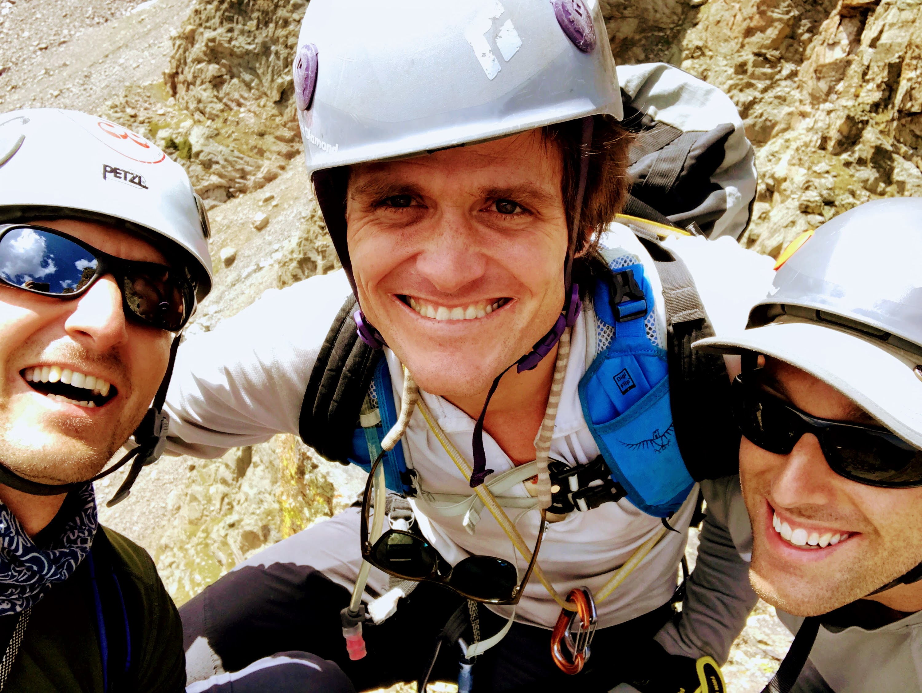
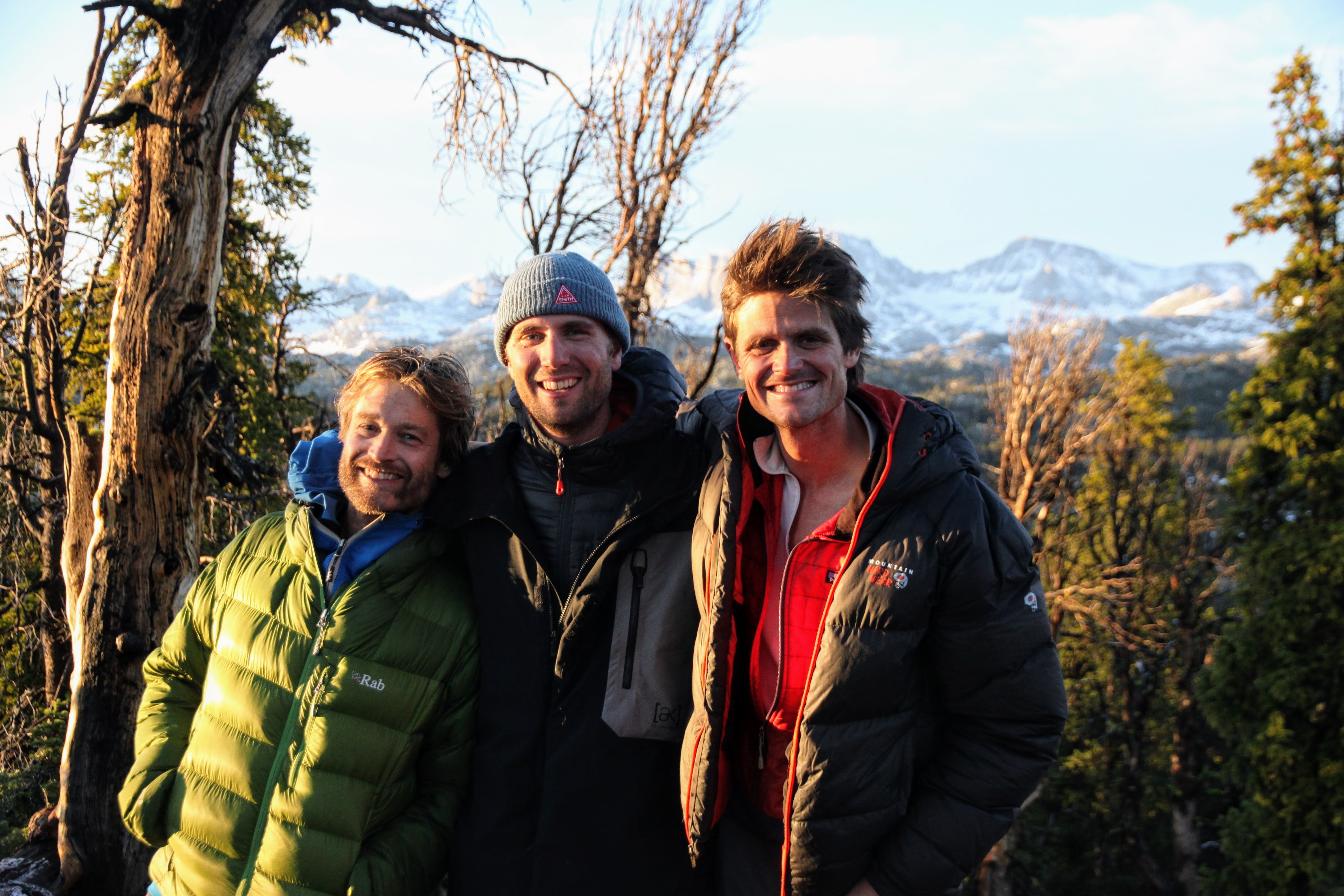
Rob, Mikey, and myself
Group shot minus a Kev
Barbara Lake had sure melted out a lot in 4 days
Morning came and the sun dried us out as we packed up for the few hours out back to Elkhart Trailhead.
Morning at Barbara Lake drying out our tents
It was a nice deproach in great weather until the mosquitoes joined us once the snow stopped. We fortunately had no encounters with bears on this adventure, but we did see evidence of bears in the area. However, Billy was always ready with his bear spray canister holstered tight on his belt ready for a duel.
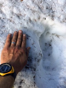
Bear track

Goodbye, Winds, until next time
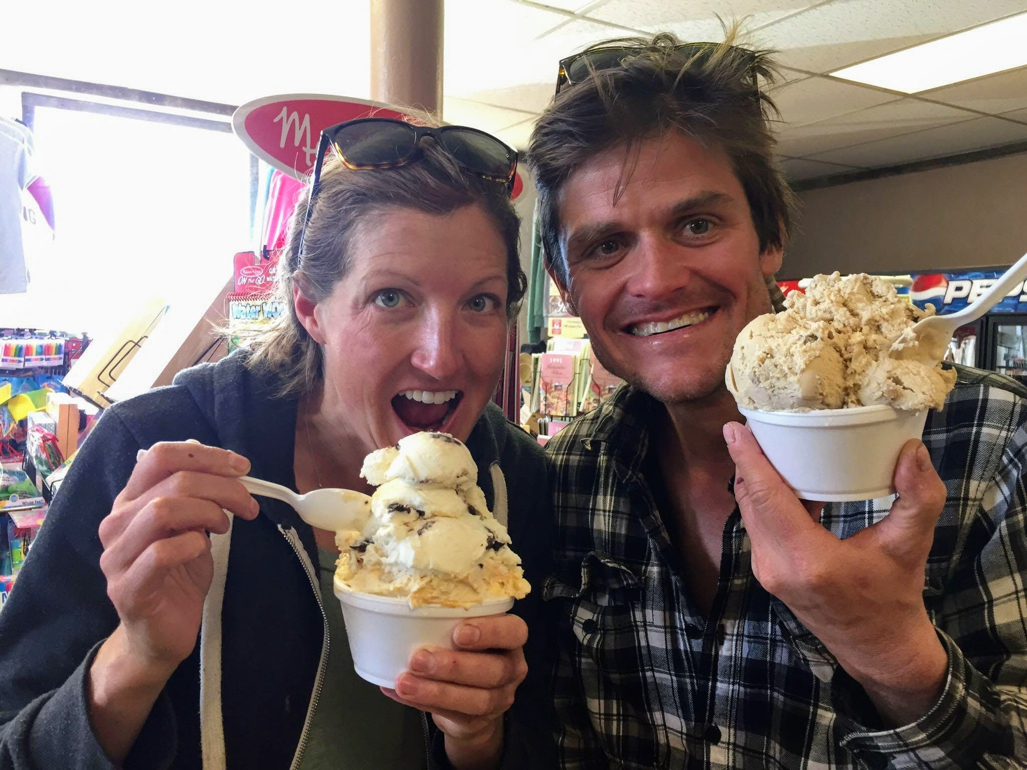
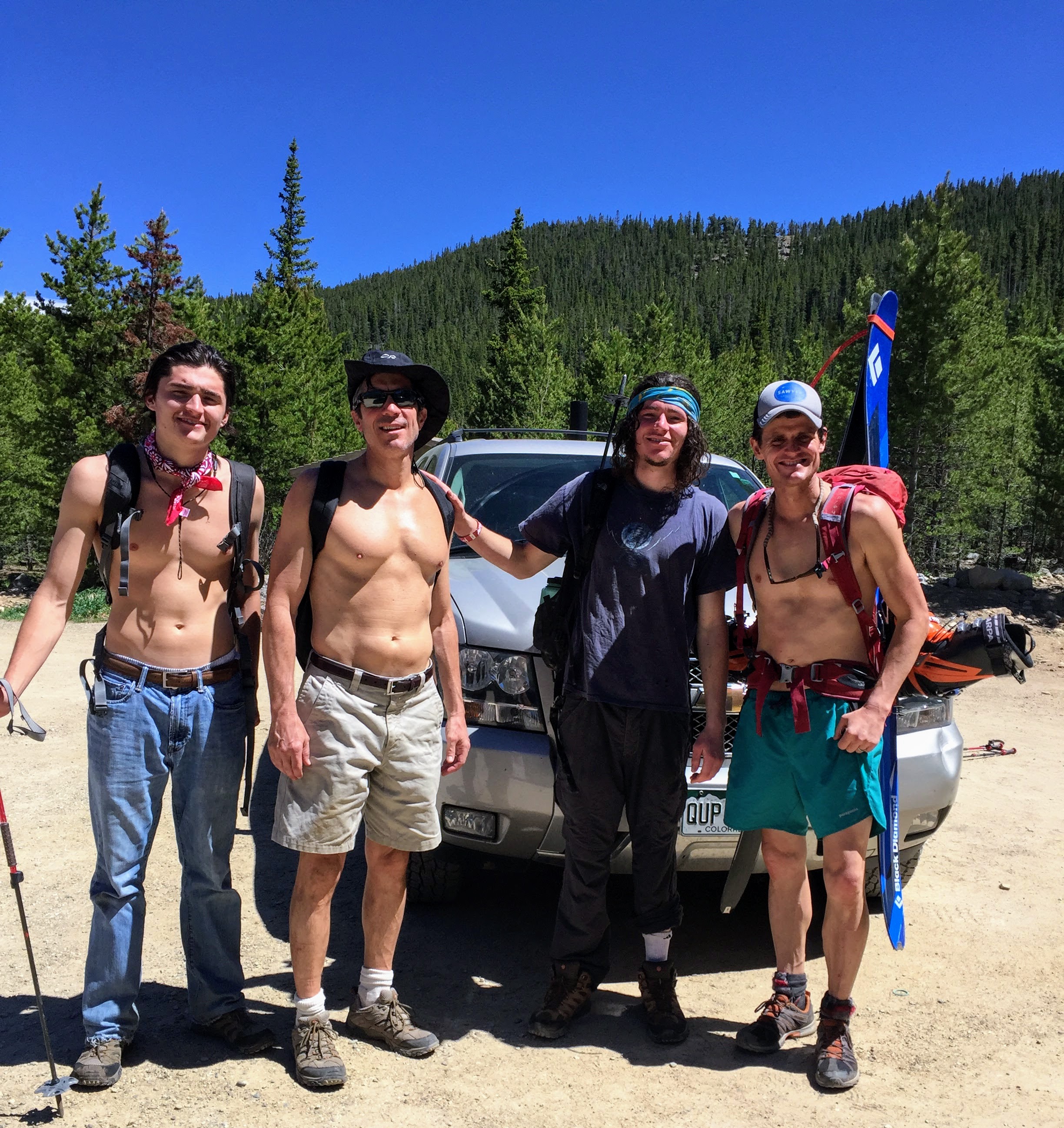
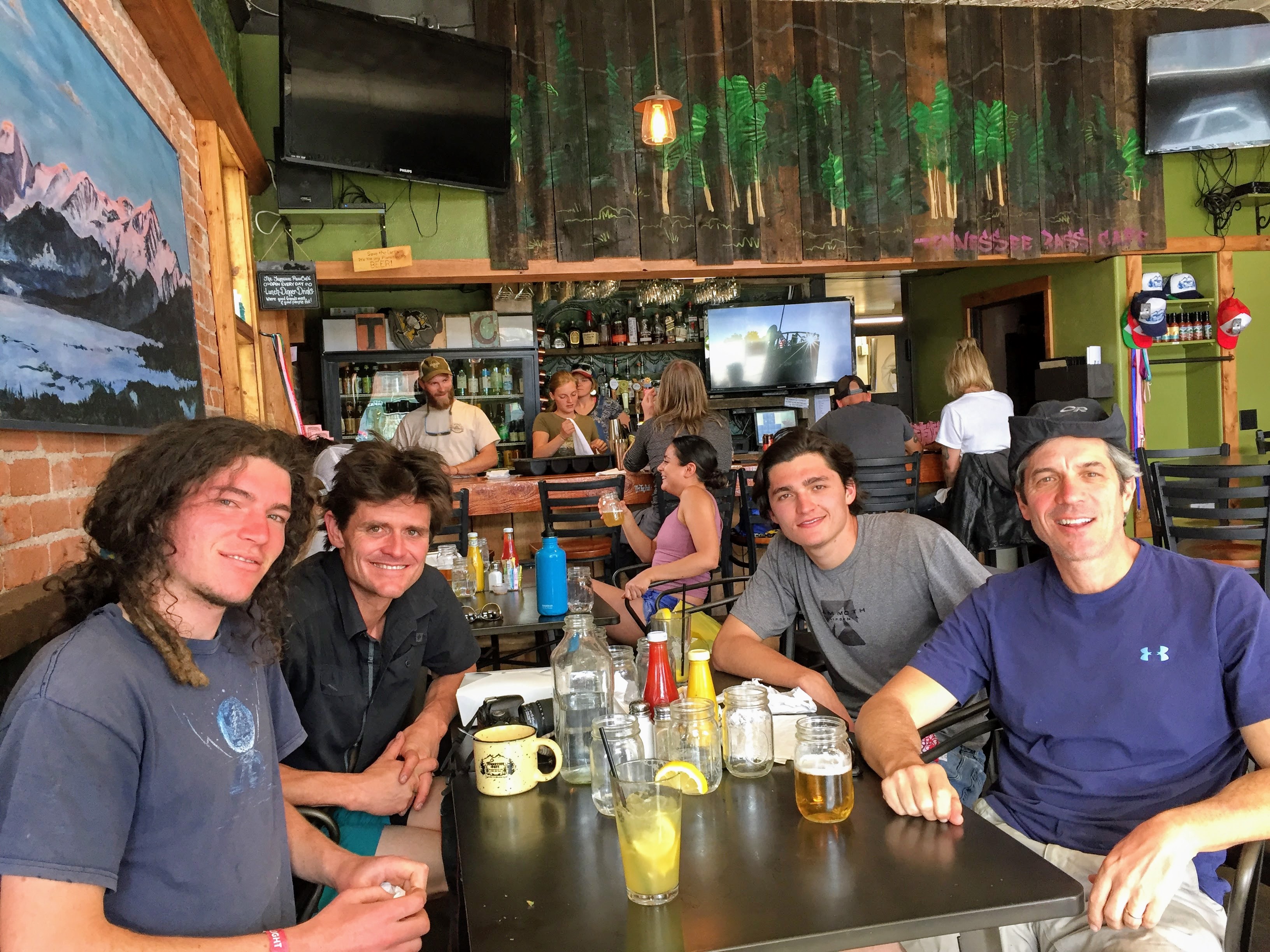
We reached the trailhead by noon and relaxed and unpacked for a bit. Mosquitoes were present so we didn’t dilly-dally for too long. We decided to all head back to the Wind River Brewing Company for a hearty lunch. It was great to cap off such a great trip with an amazing crew and tell stories and laugh. We then decided to stop at this mercantile store in Farson, Wyoming, which Billy knew to have the largest ice cream scoops we had ever seen. OK, Billy, let’s do it. These ice cream scoops were ginormous. Most of us got the single scoop and my gosh, it was way way too much for me. Billy finished his single scoop off quickly as did Kristine. Billy had to help me with mine. Rob didn’t get any as I think he was just too intimidated. One young kid got a double scoop cone and it was about a foot tall. It probably weighed more than his head.

Our single scoops
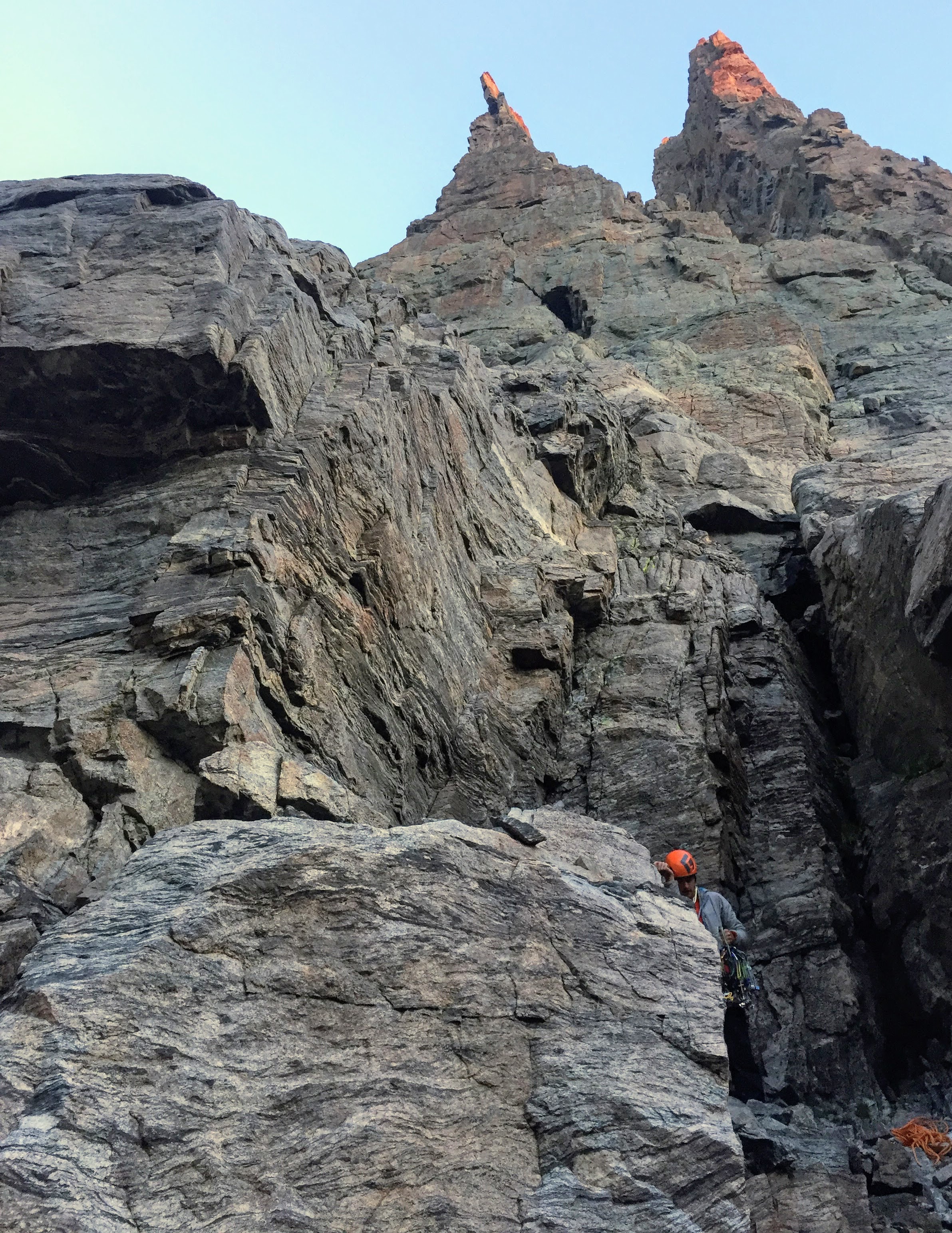
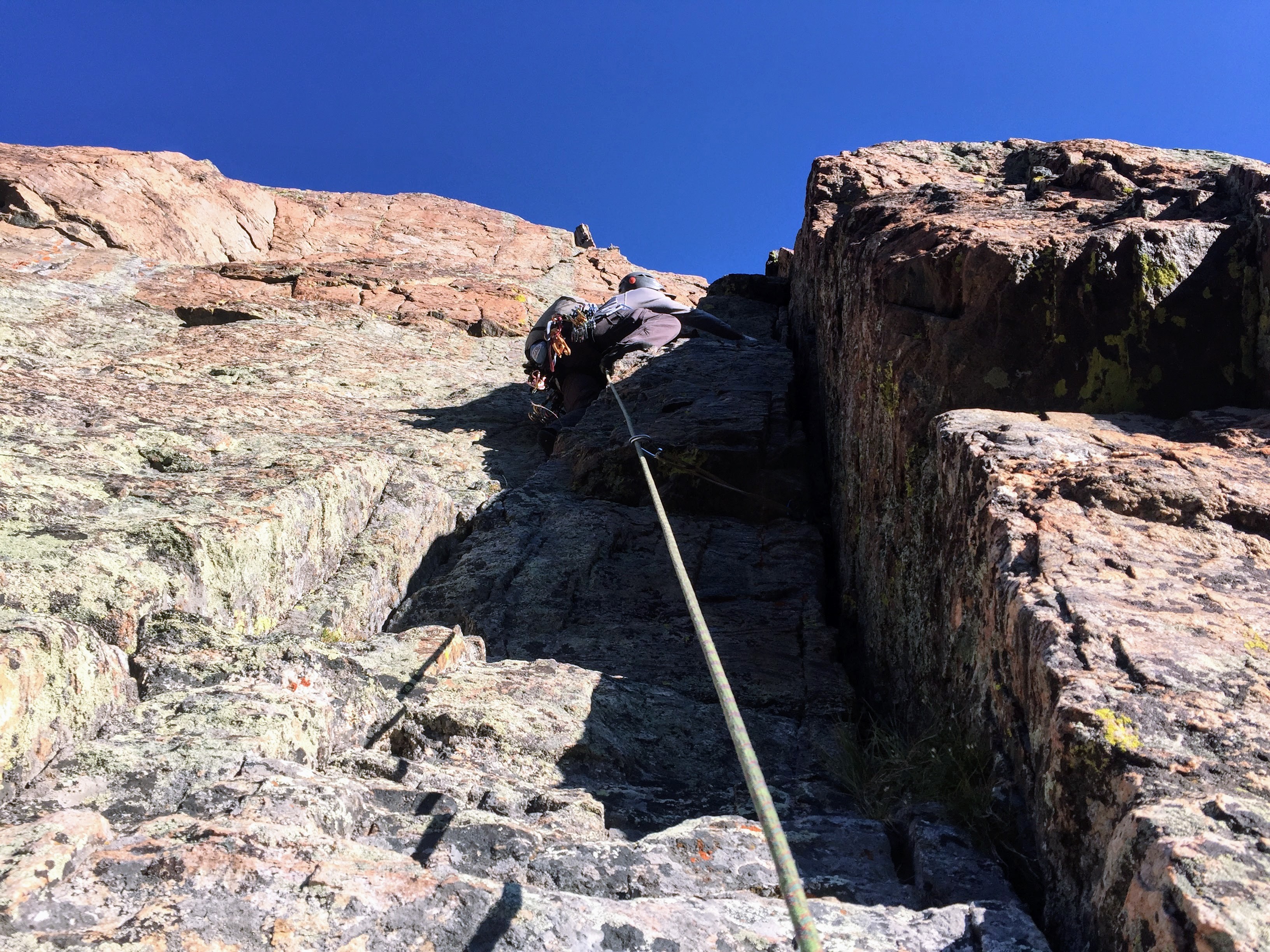
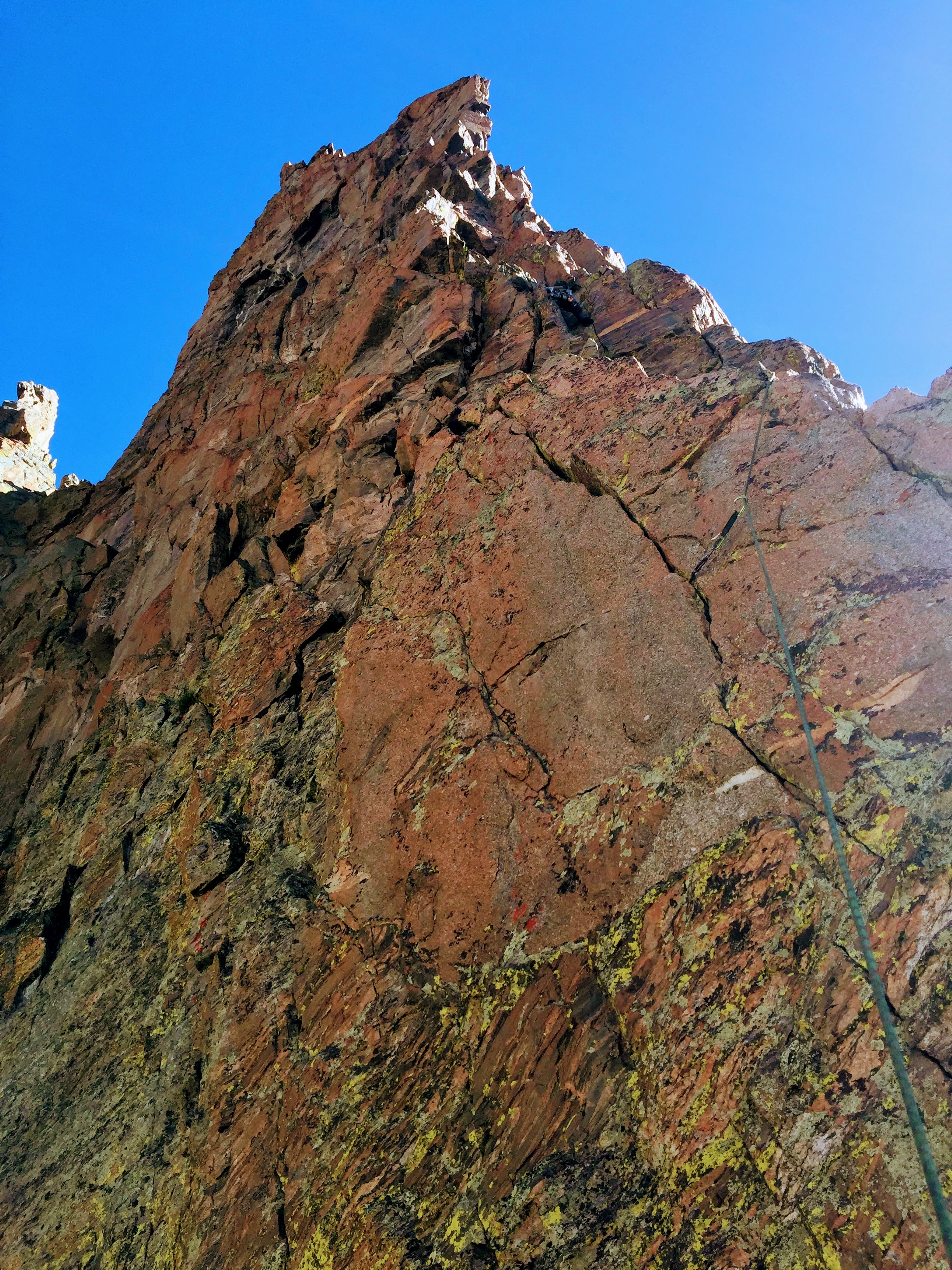
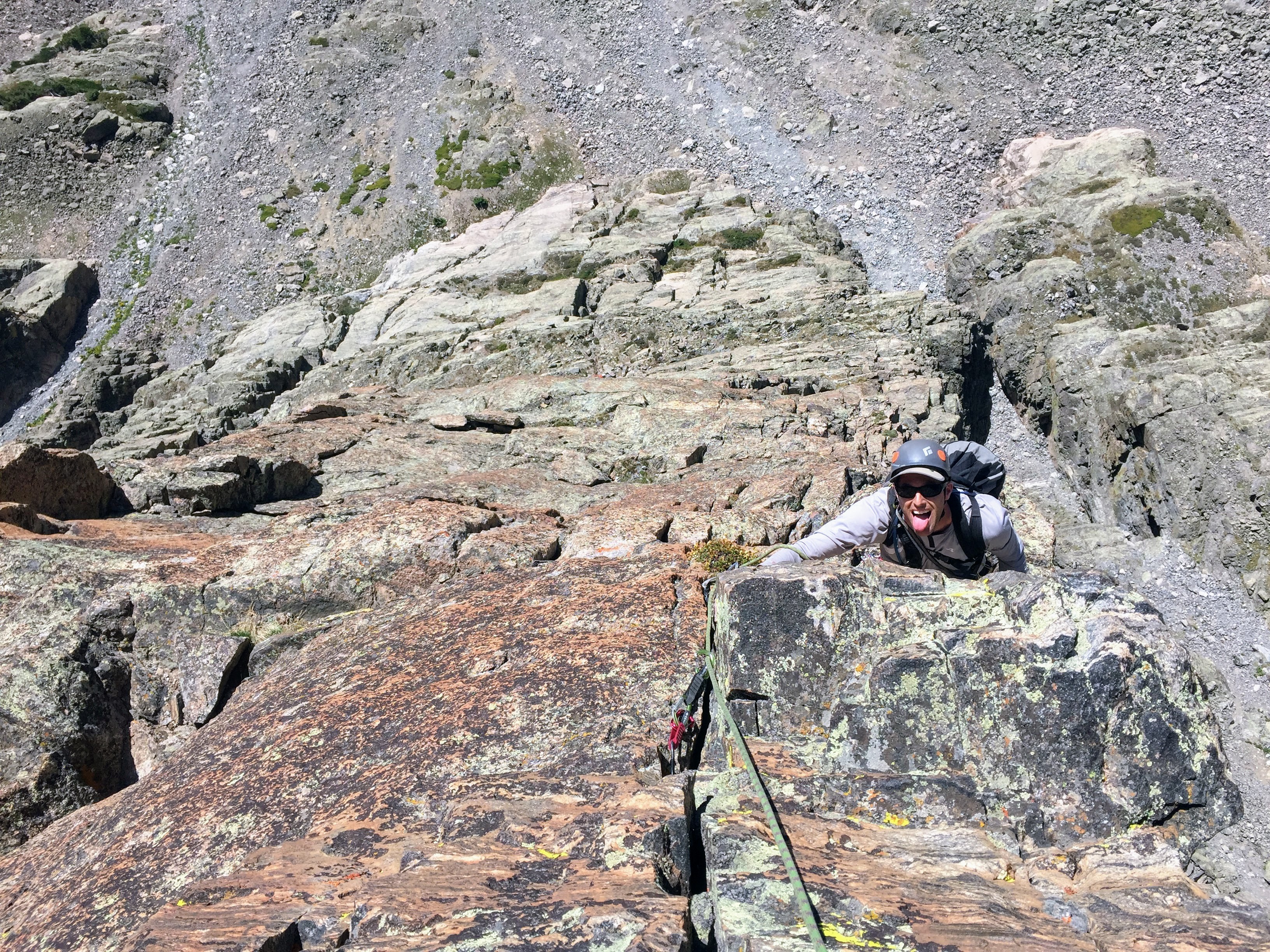
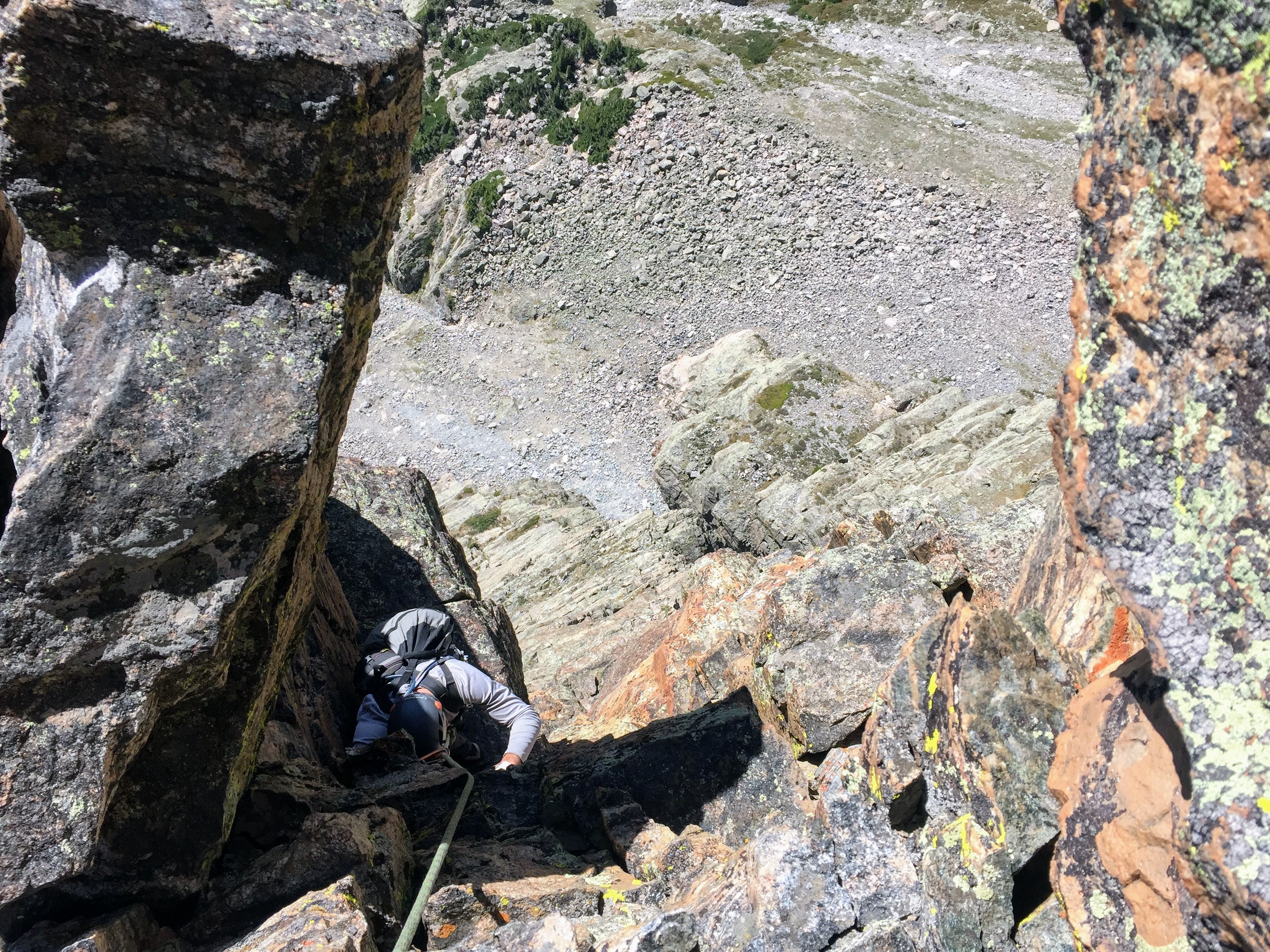
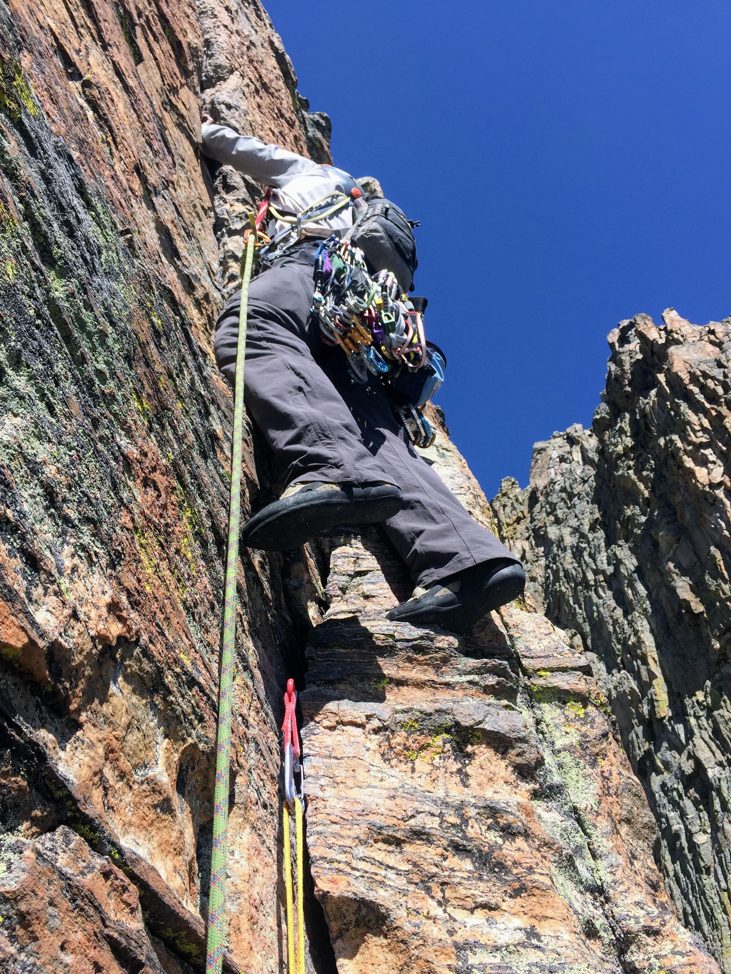
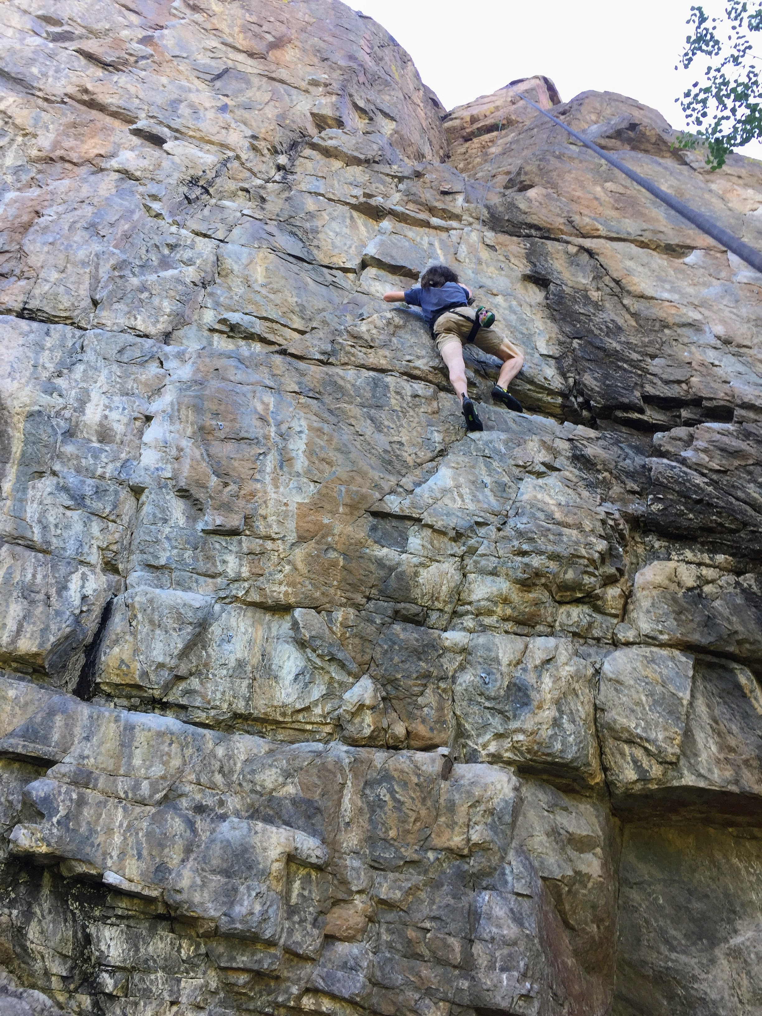
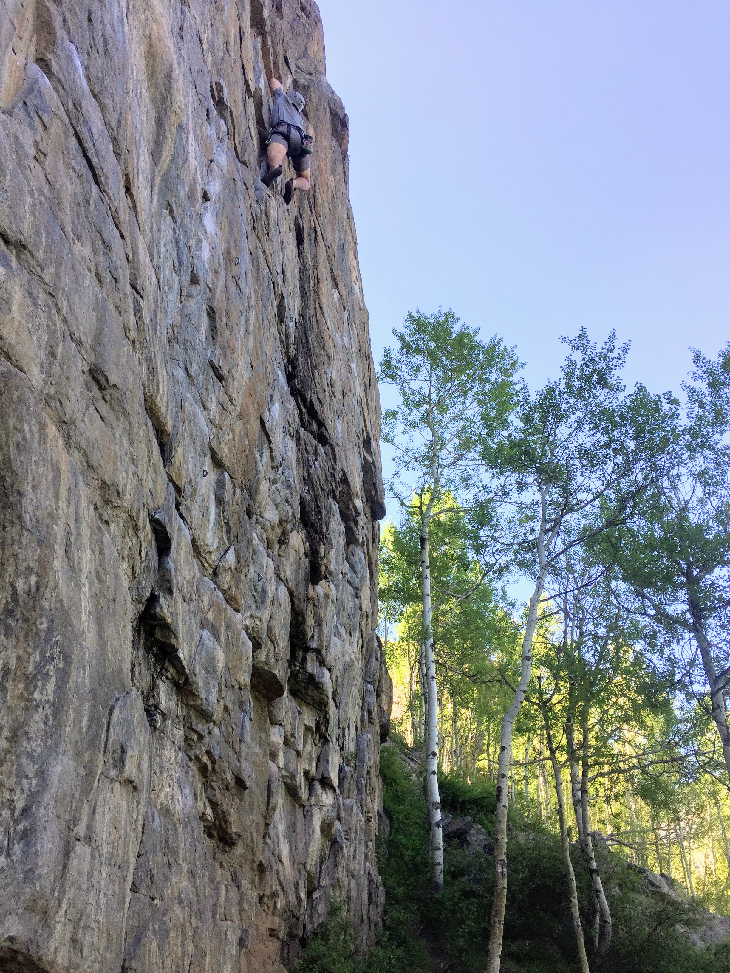
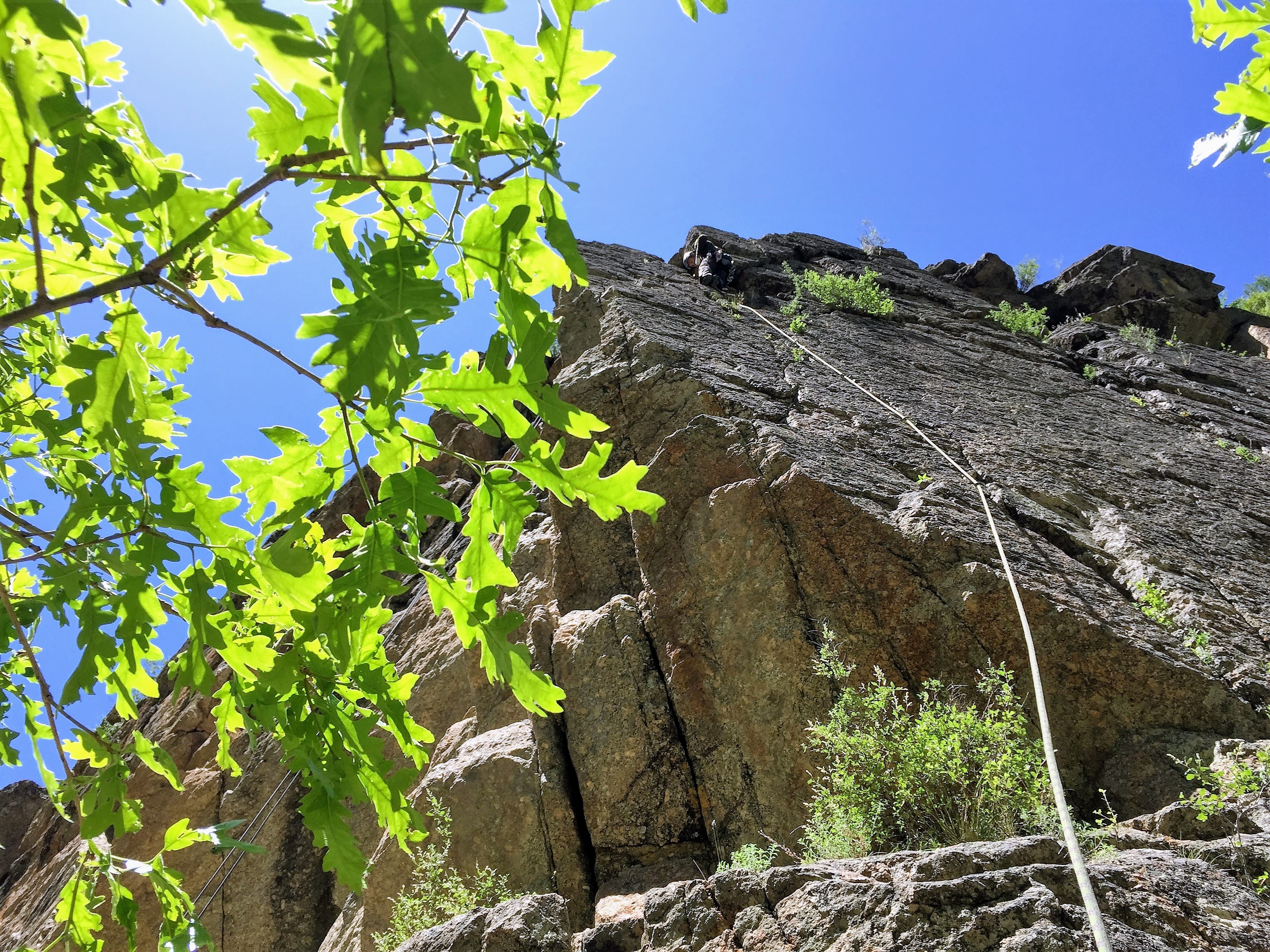
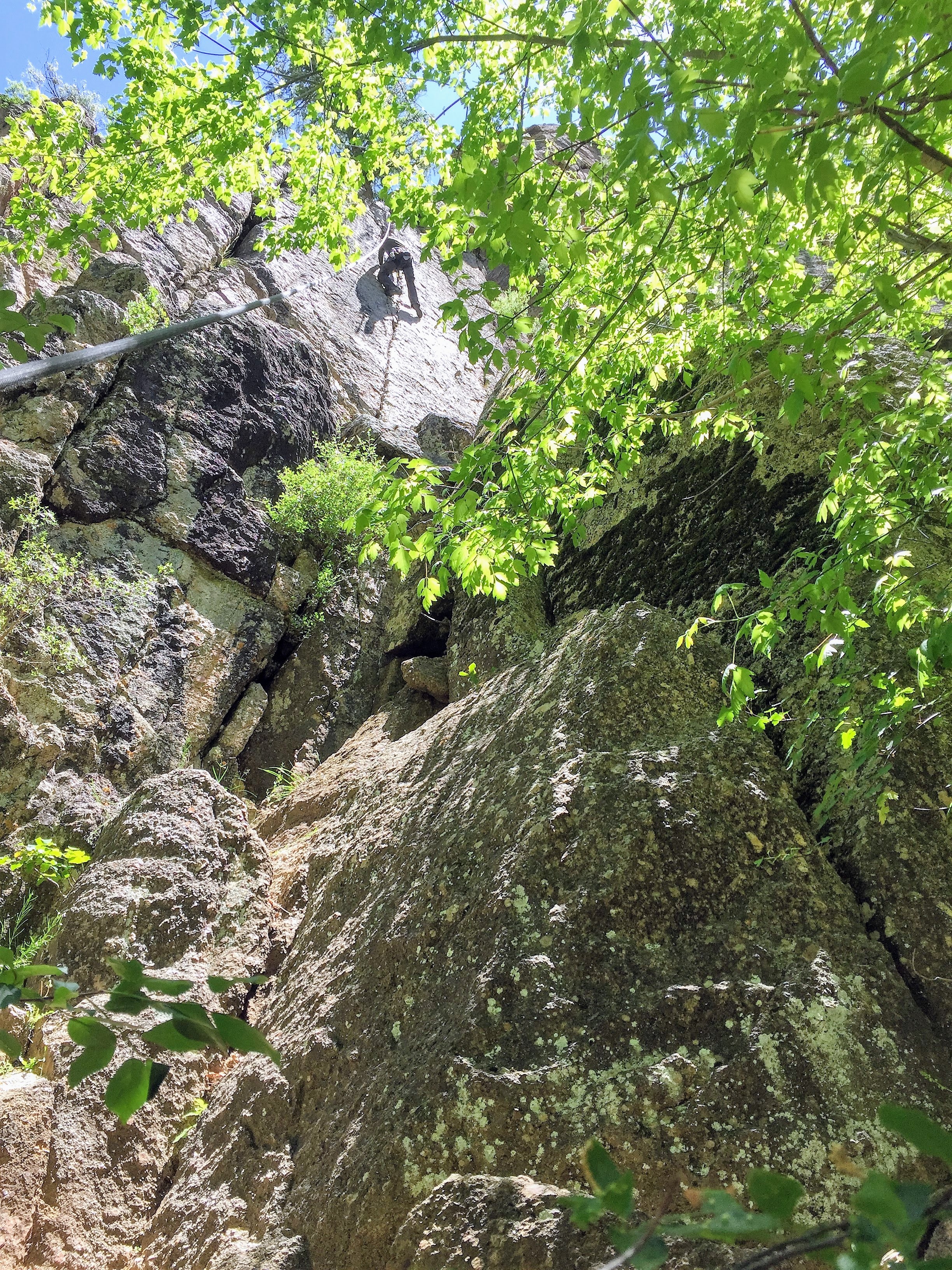
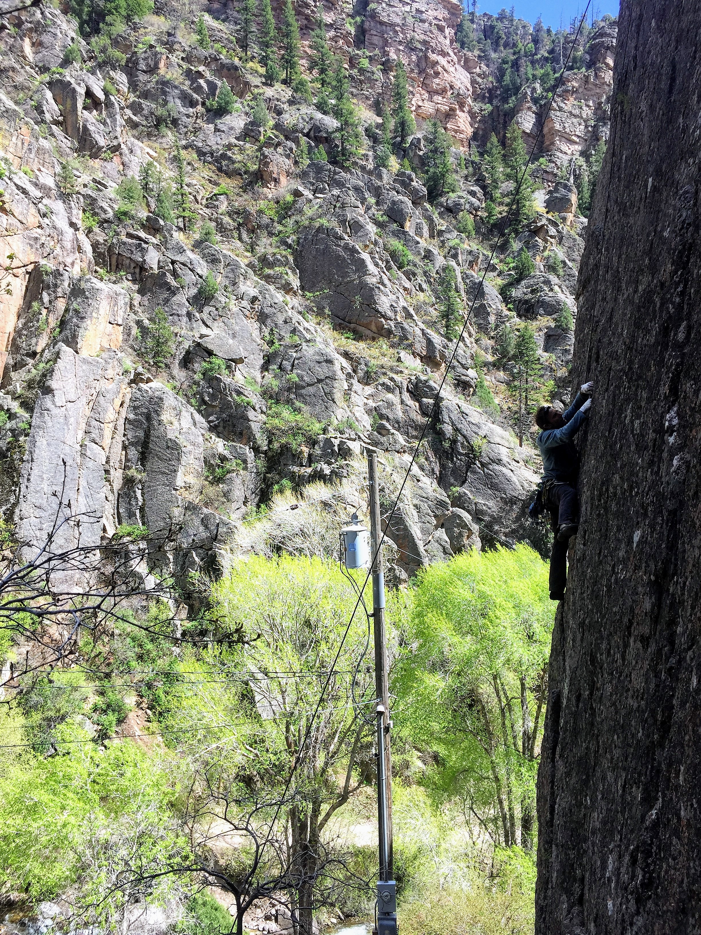
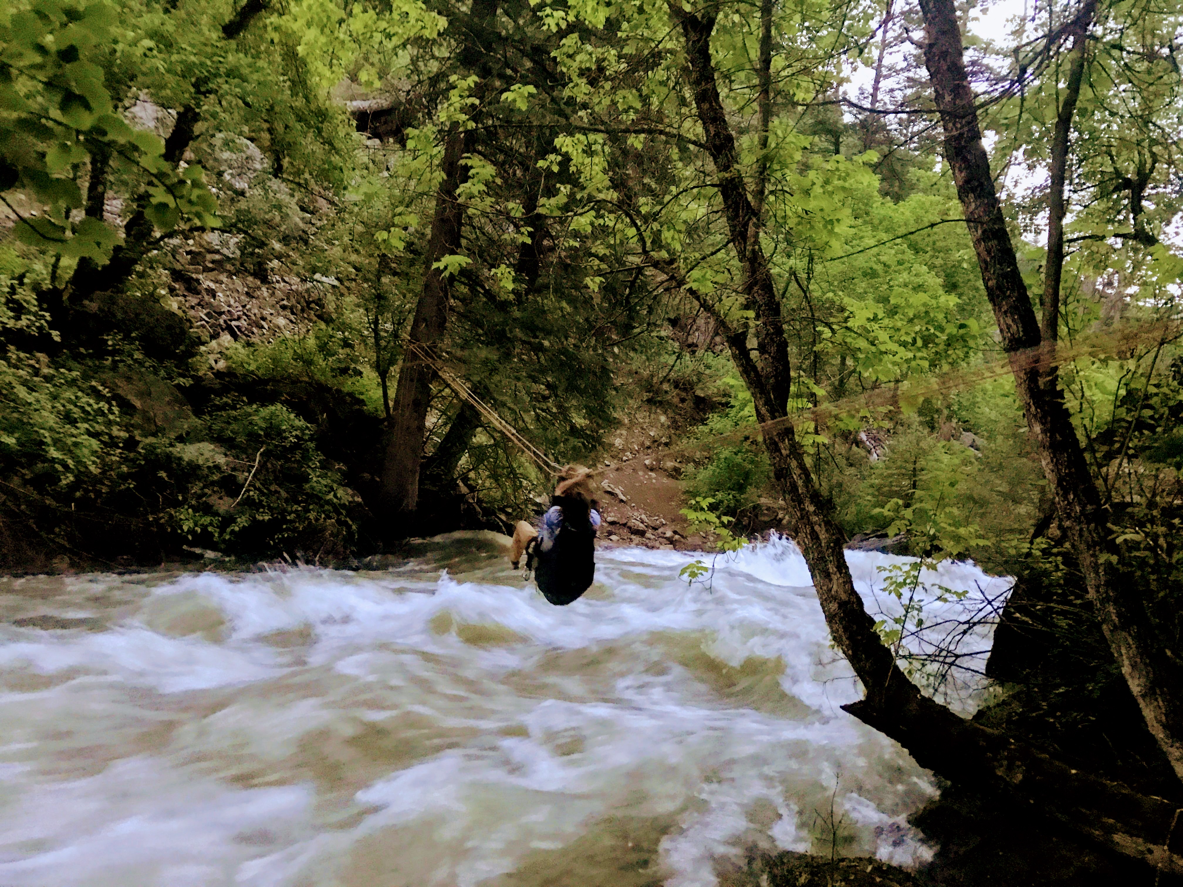
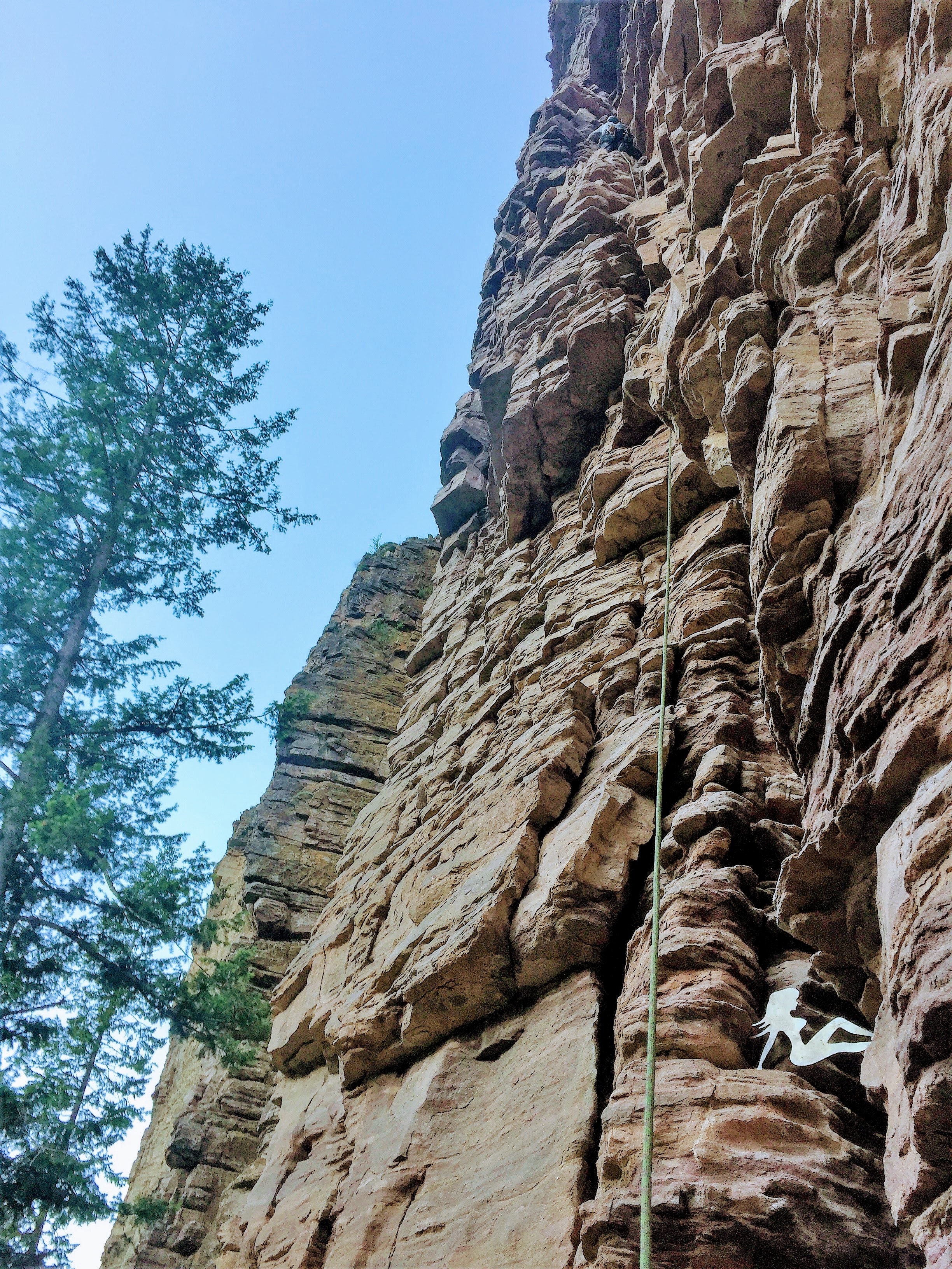
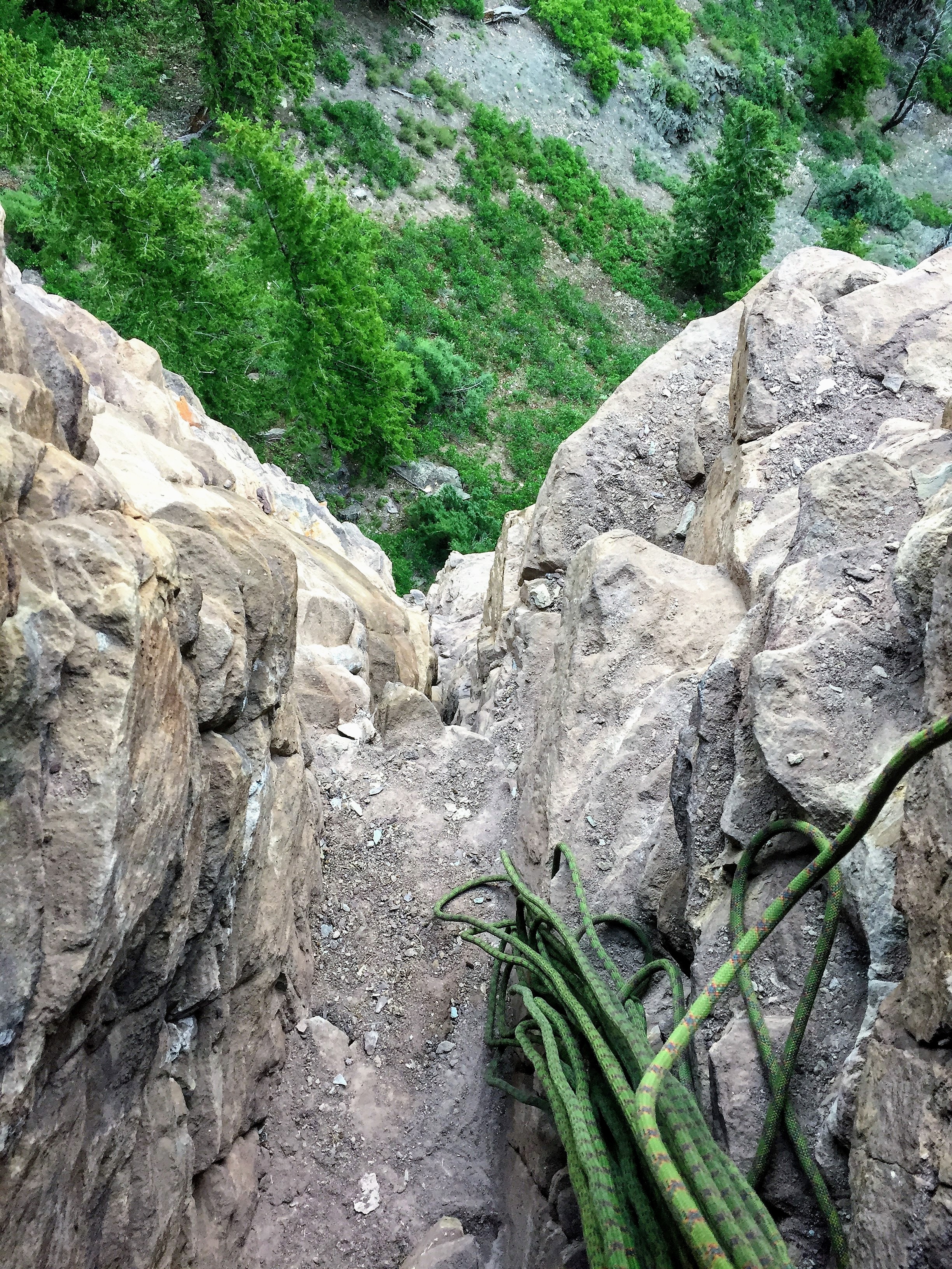
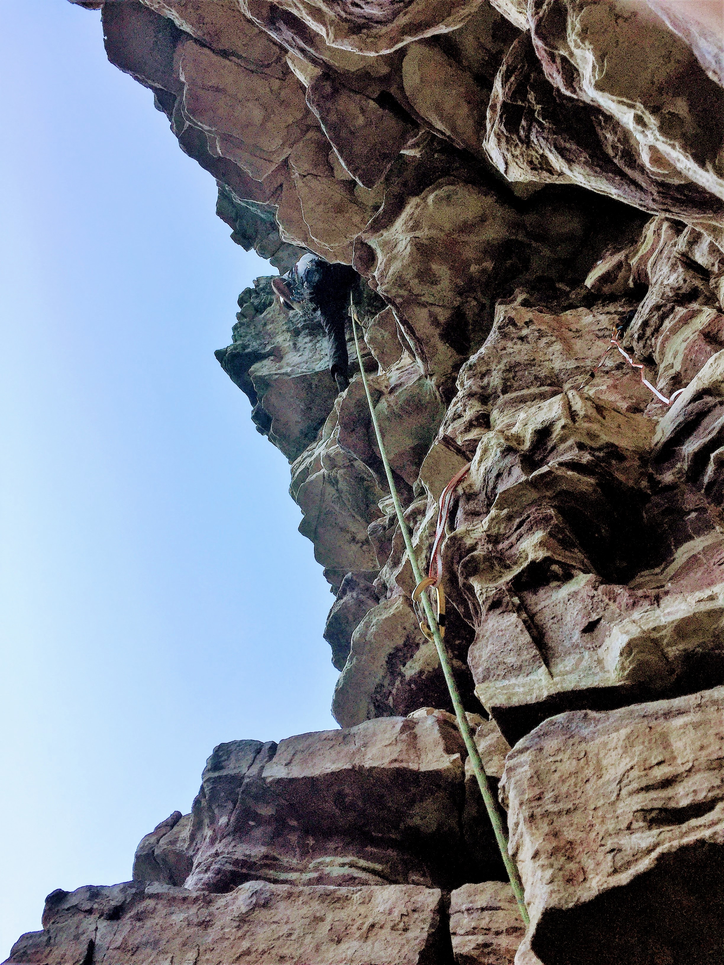
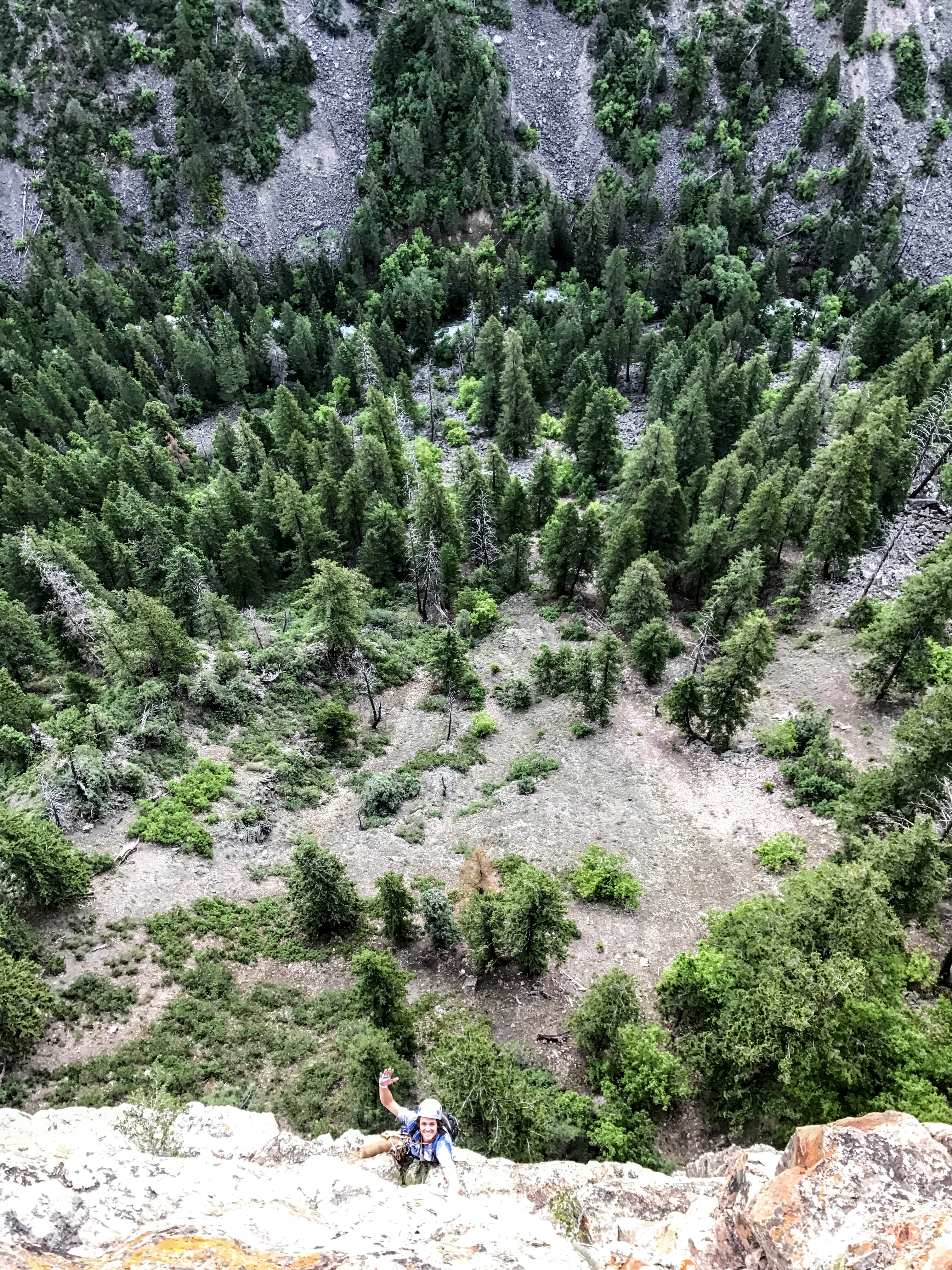
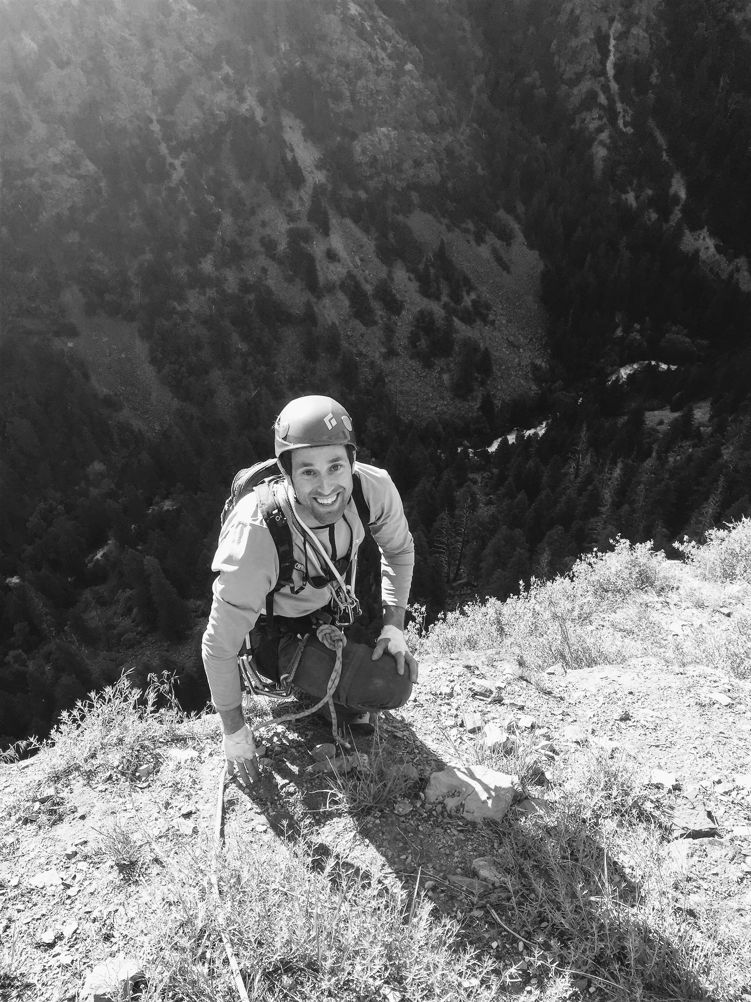
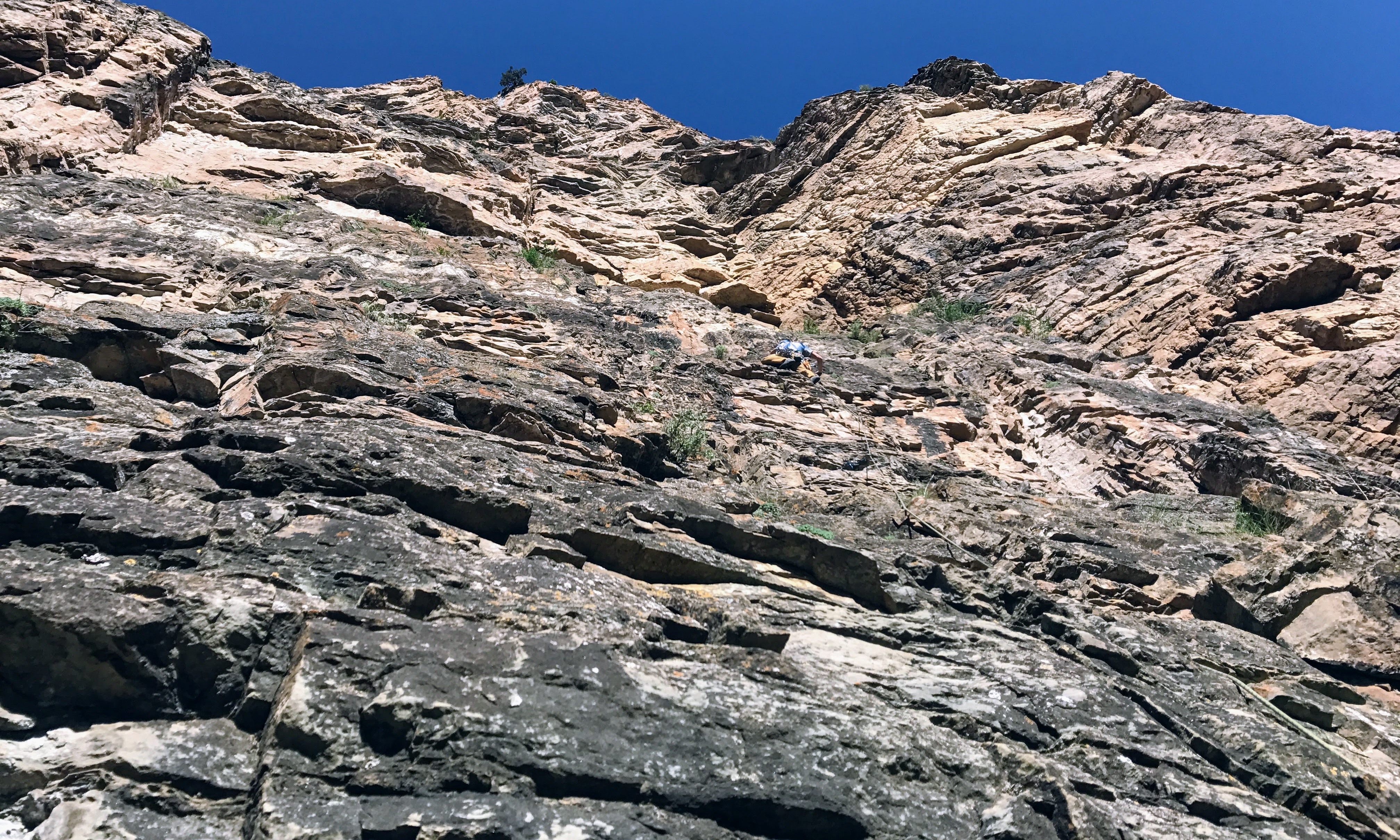
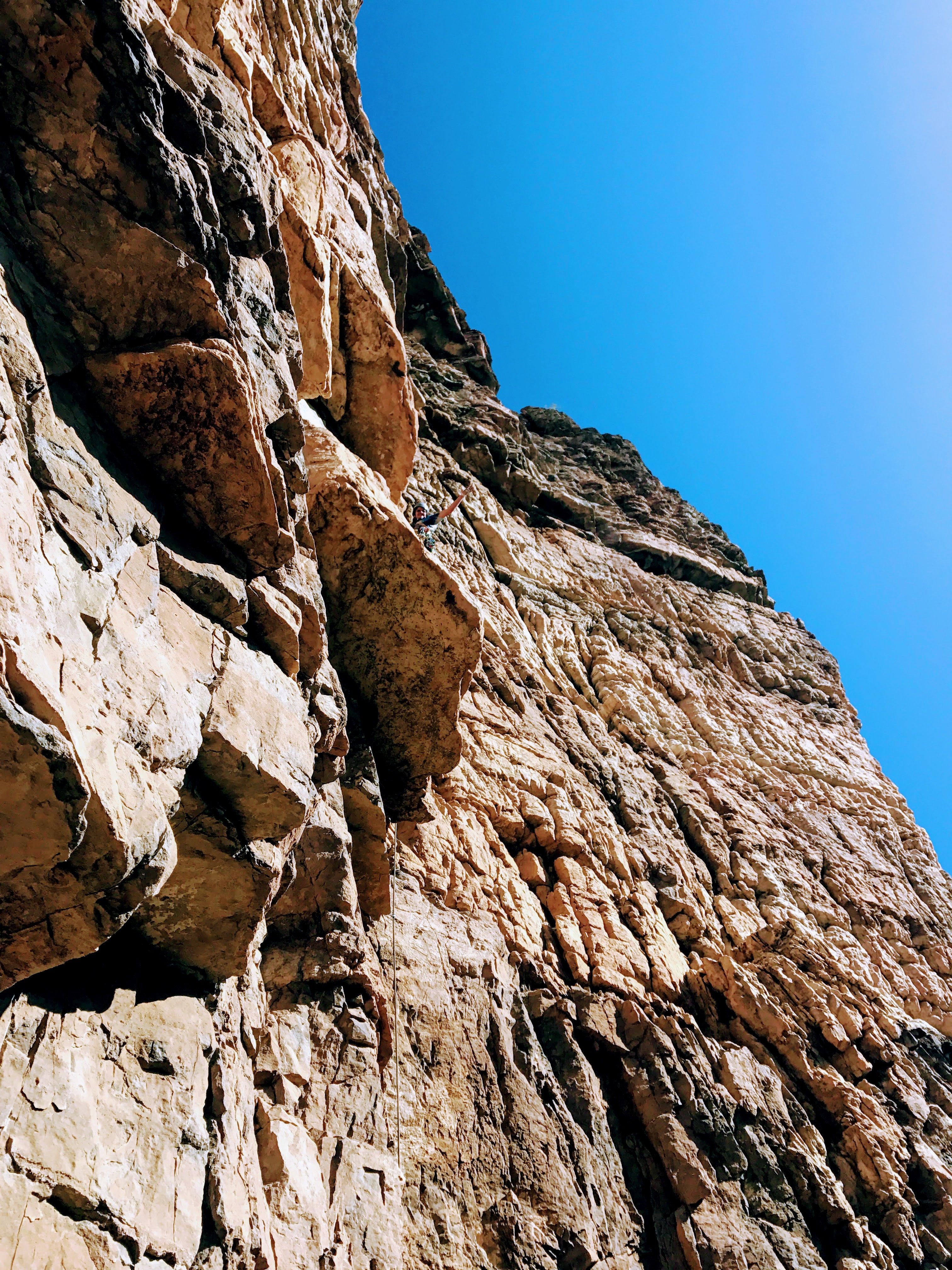
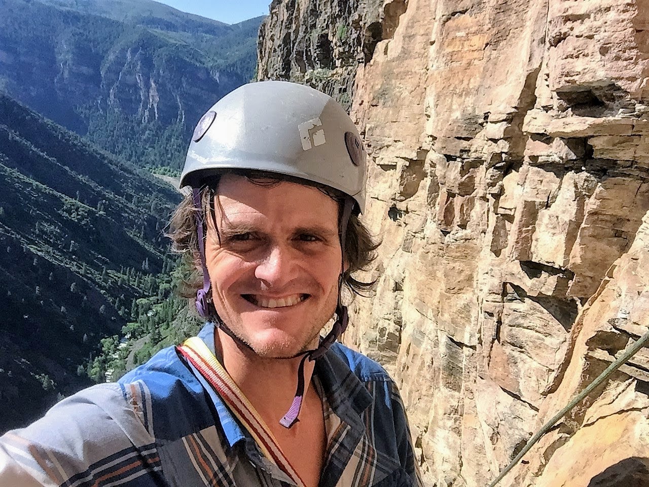
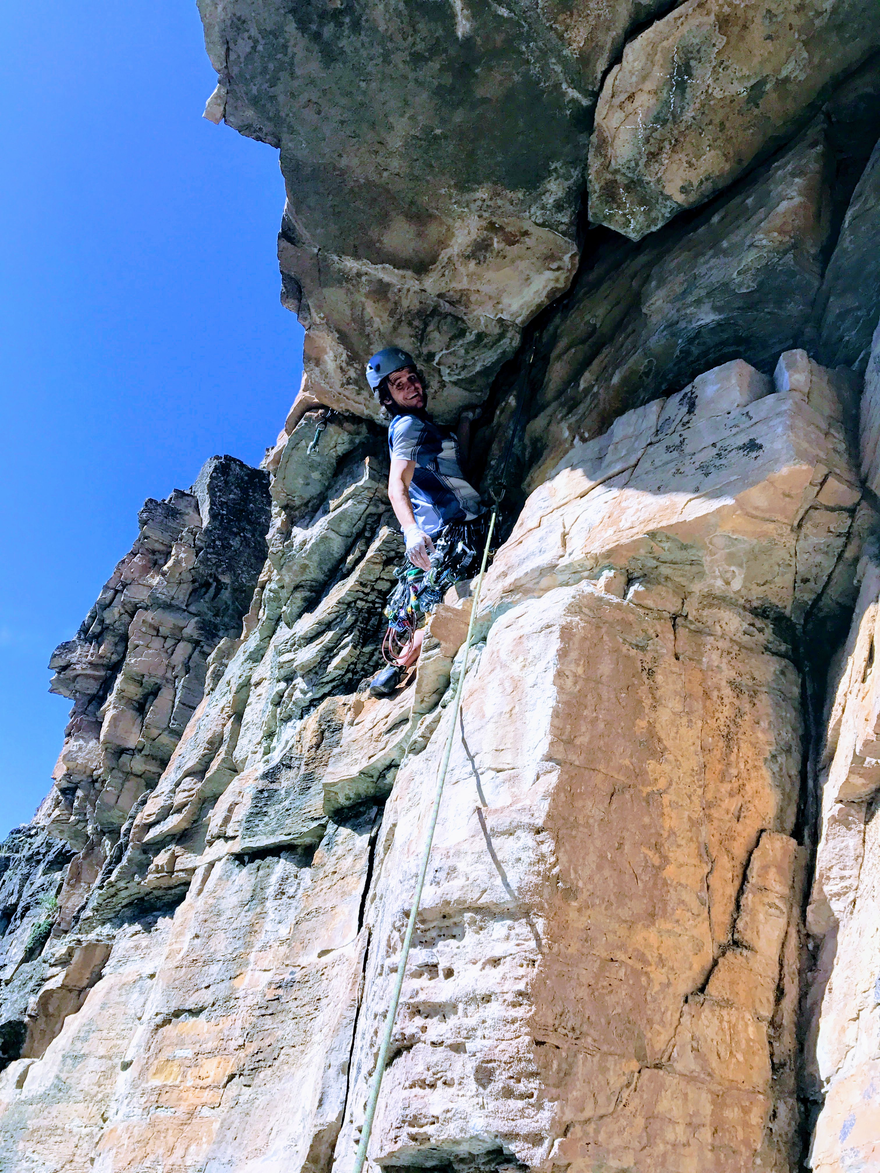
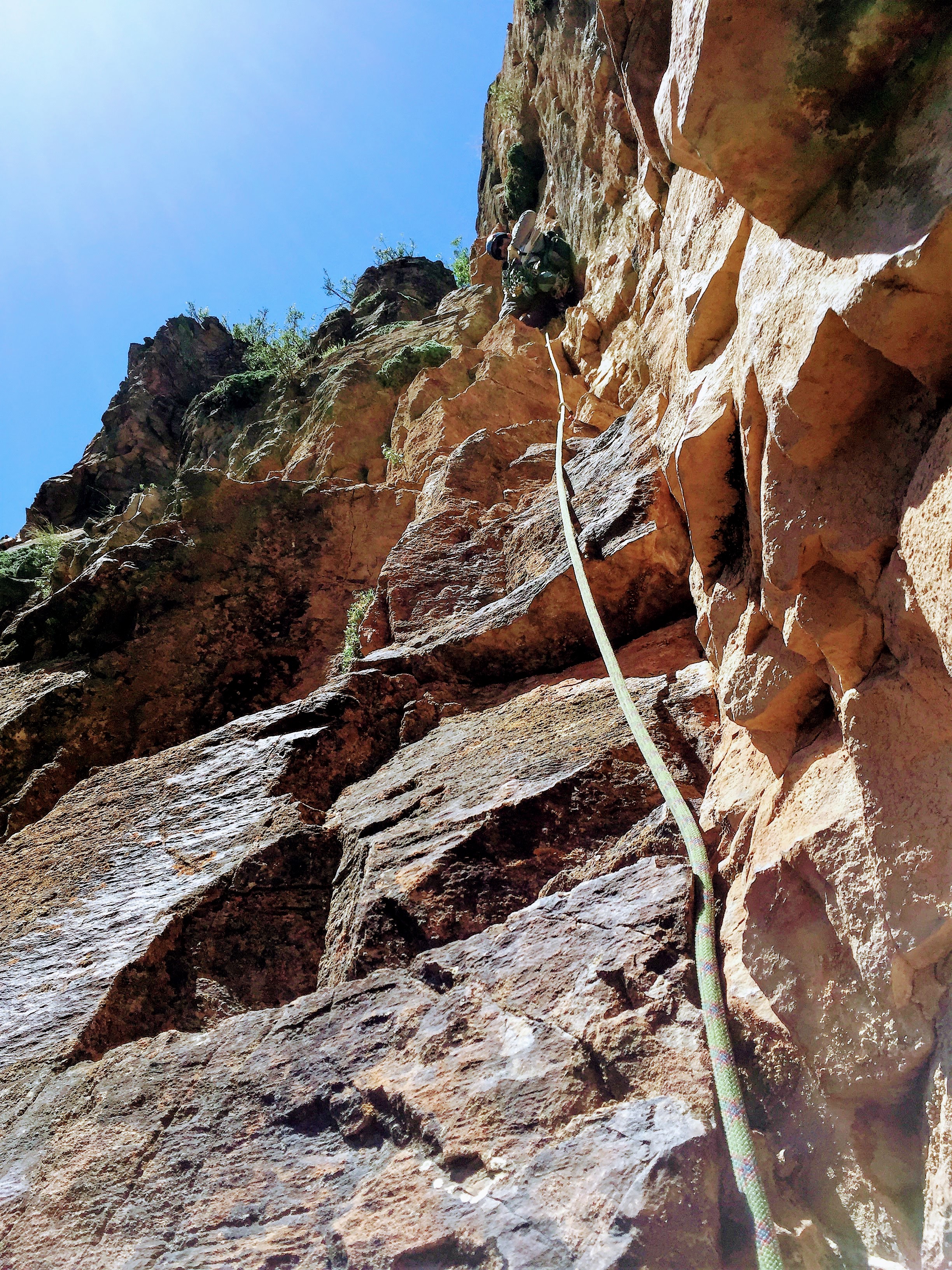
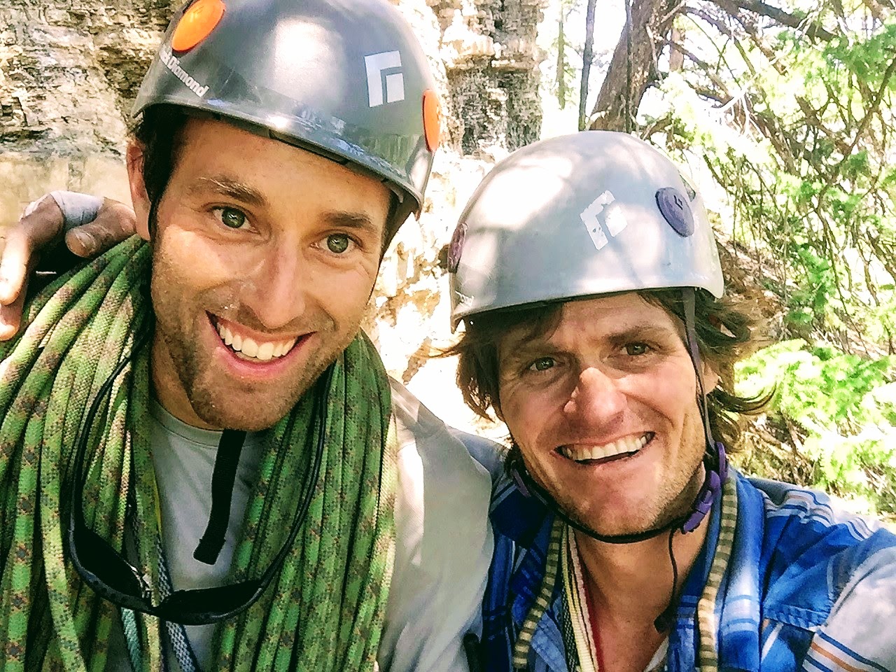
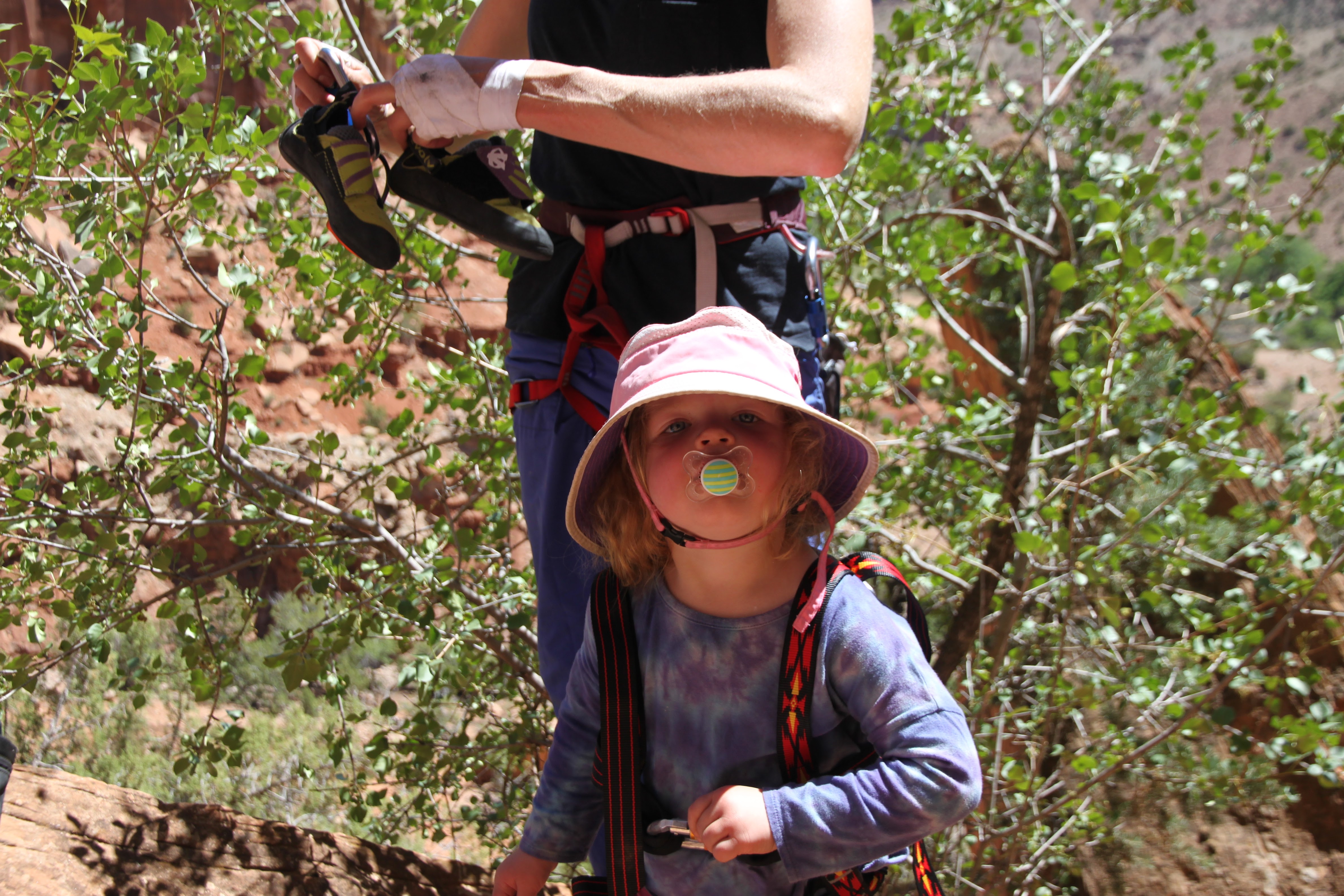
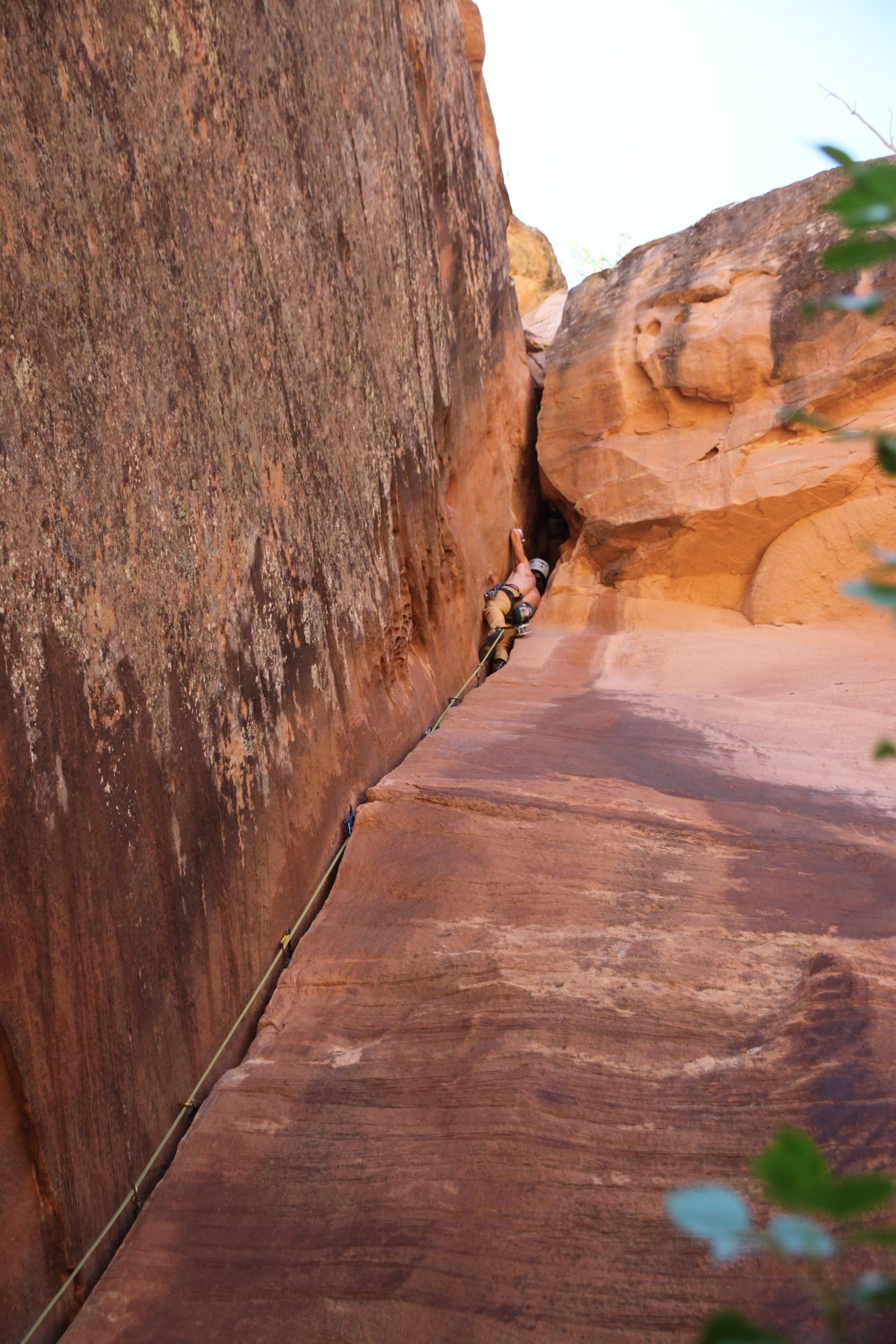
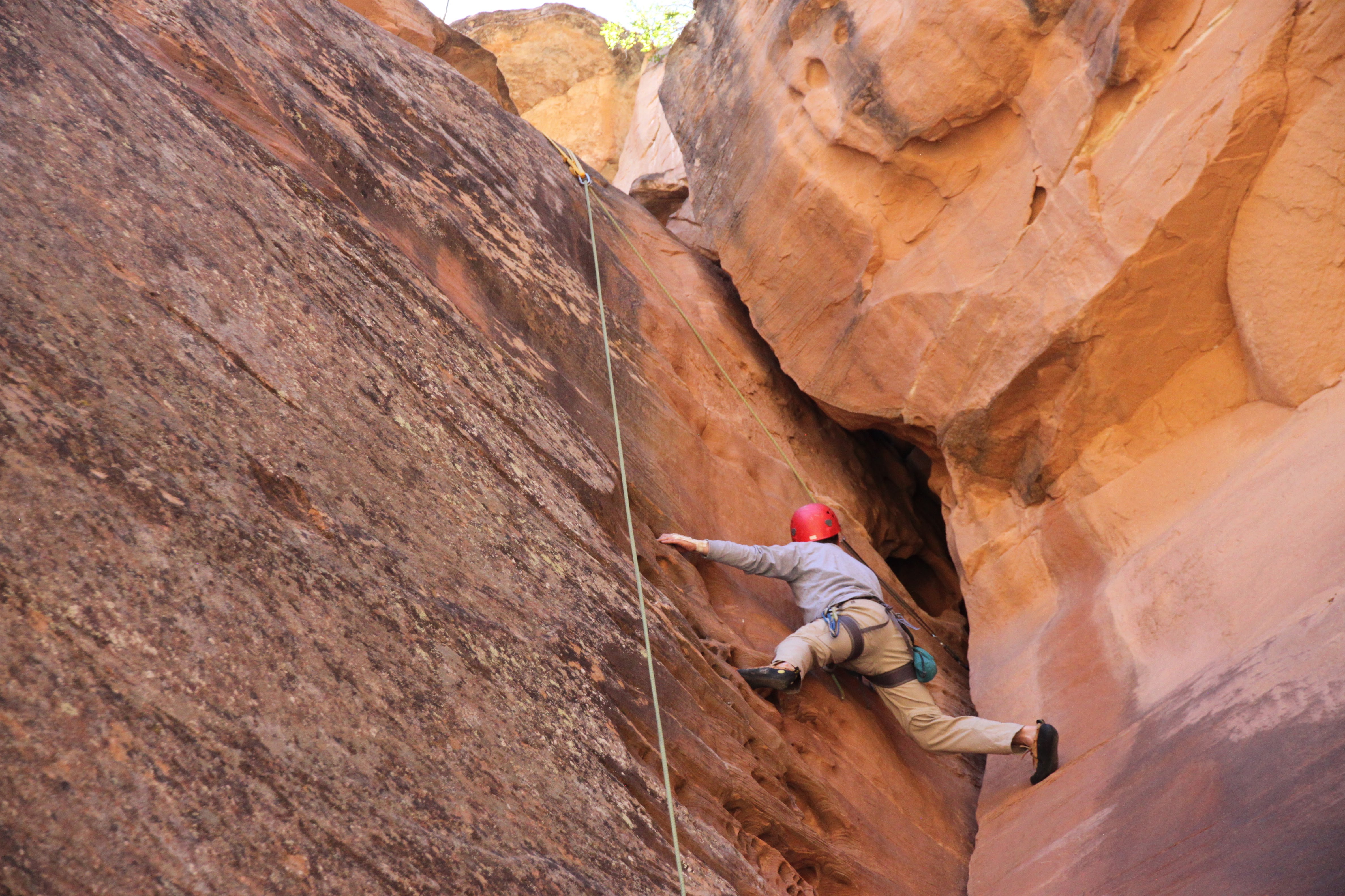
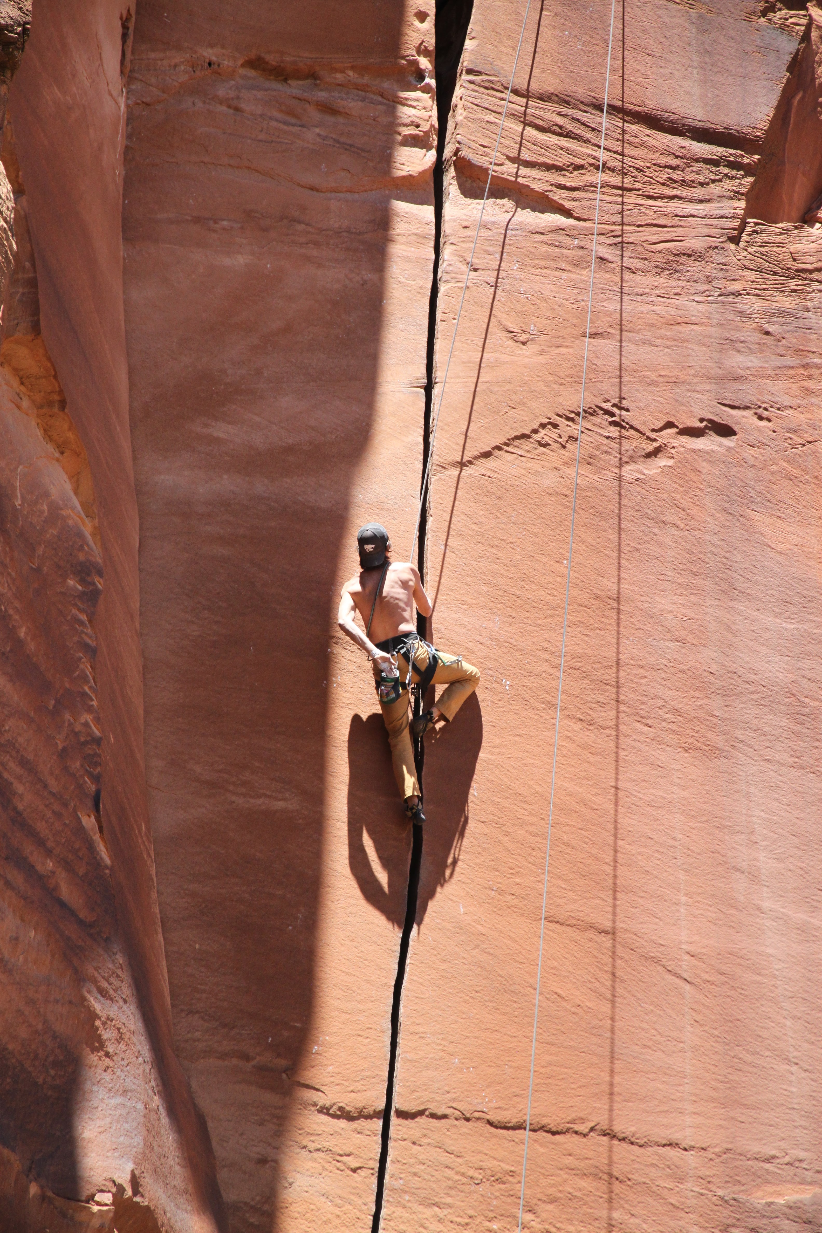
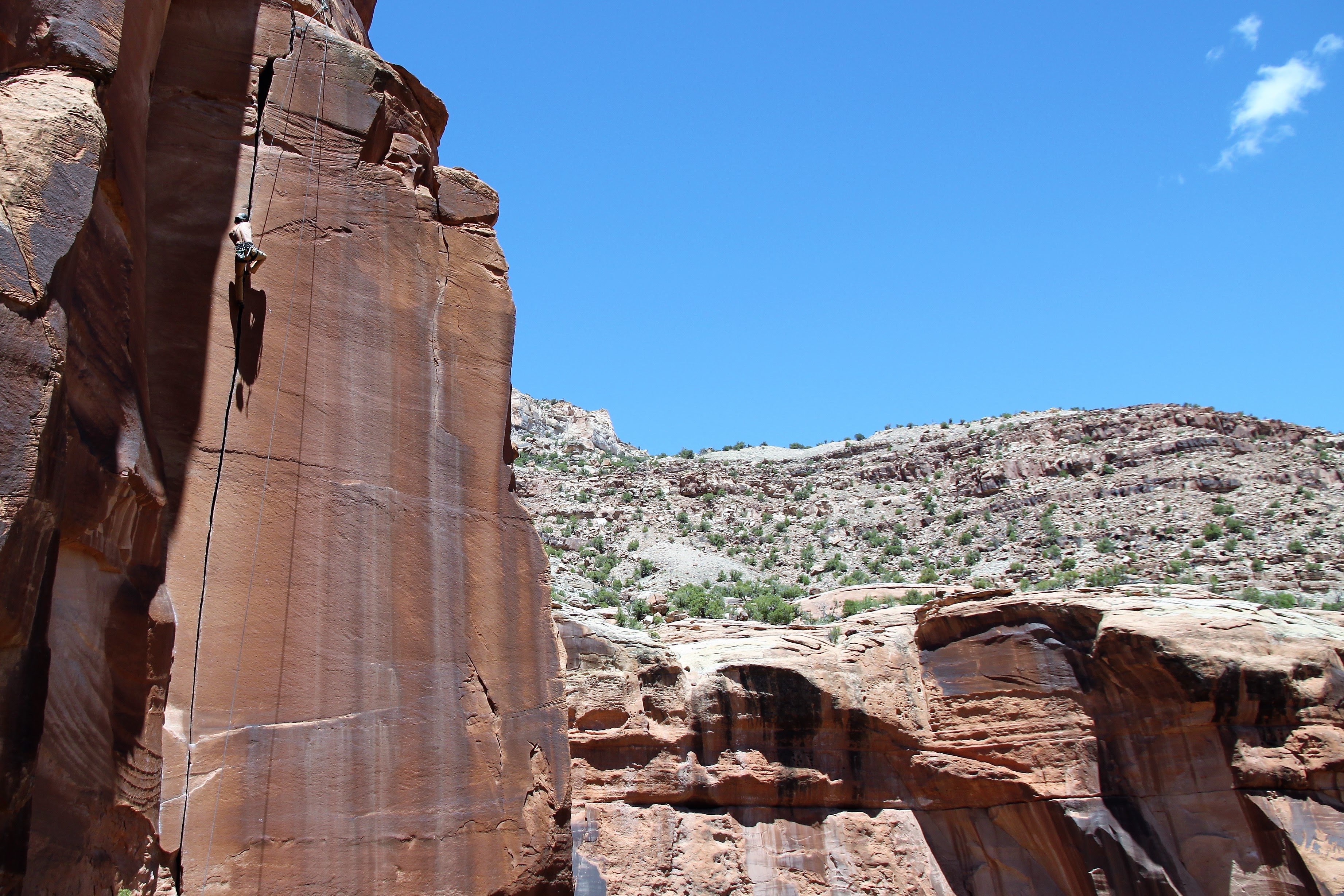
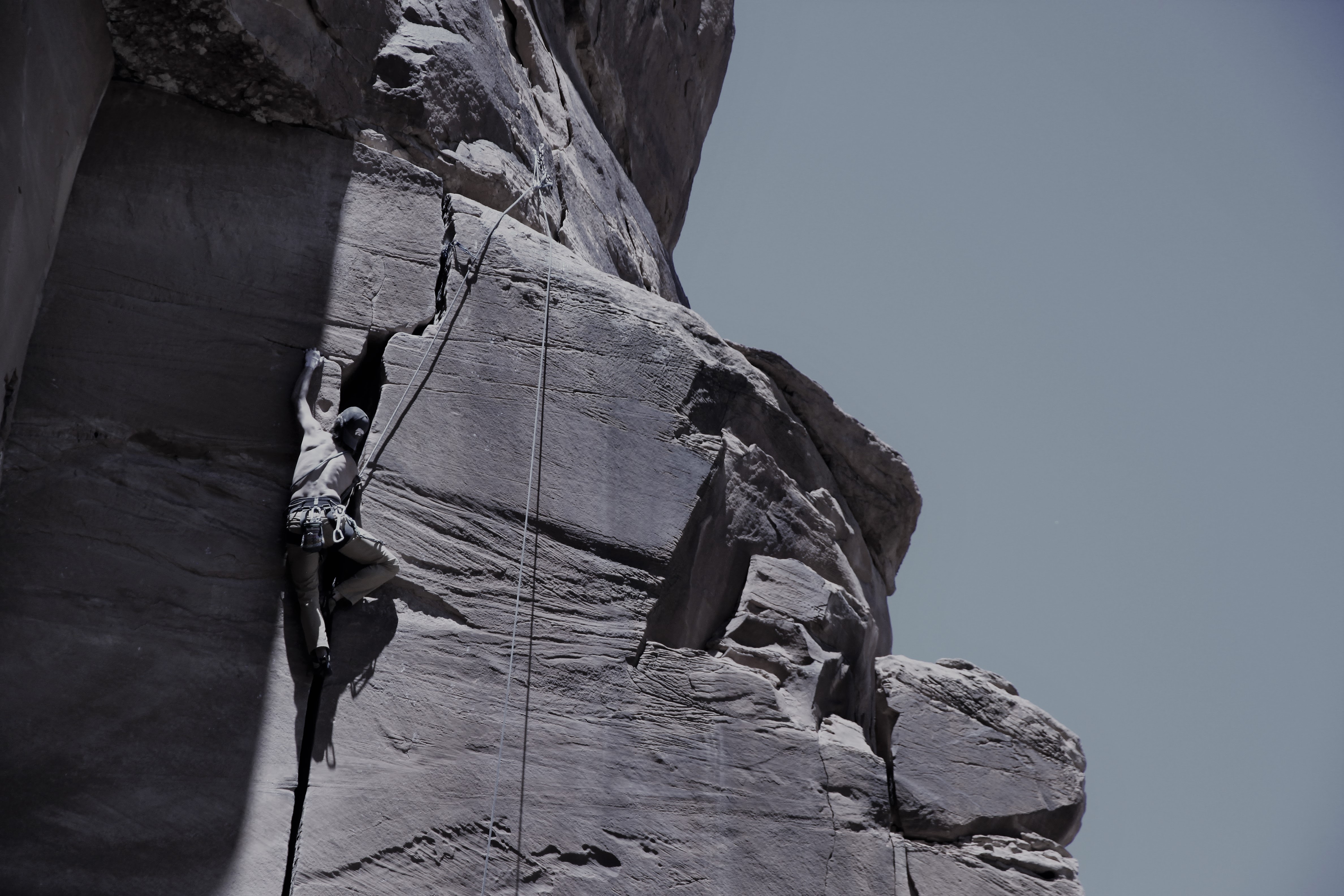
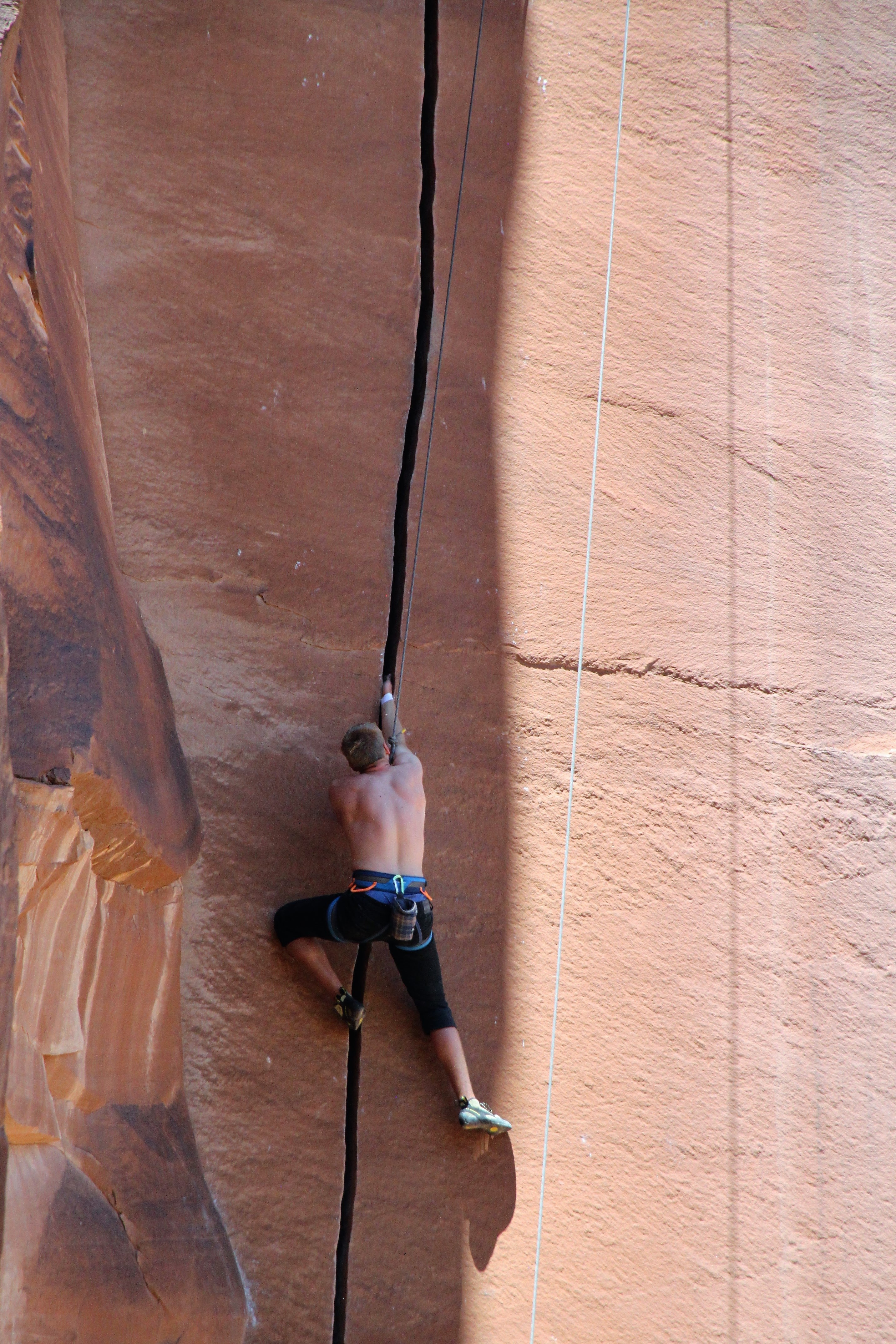
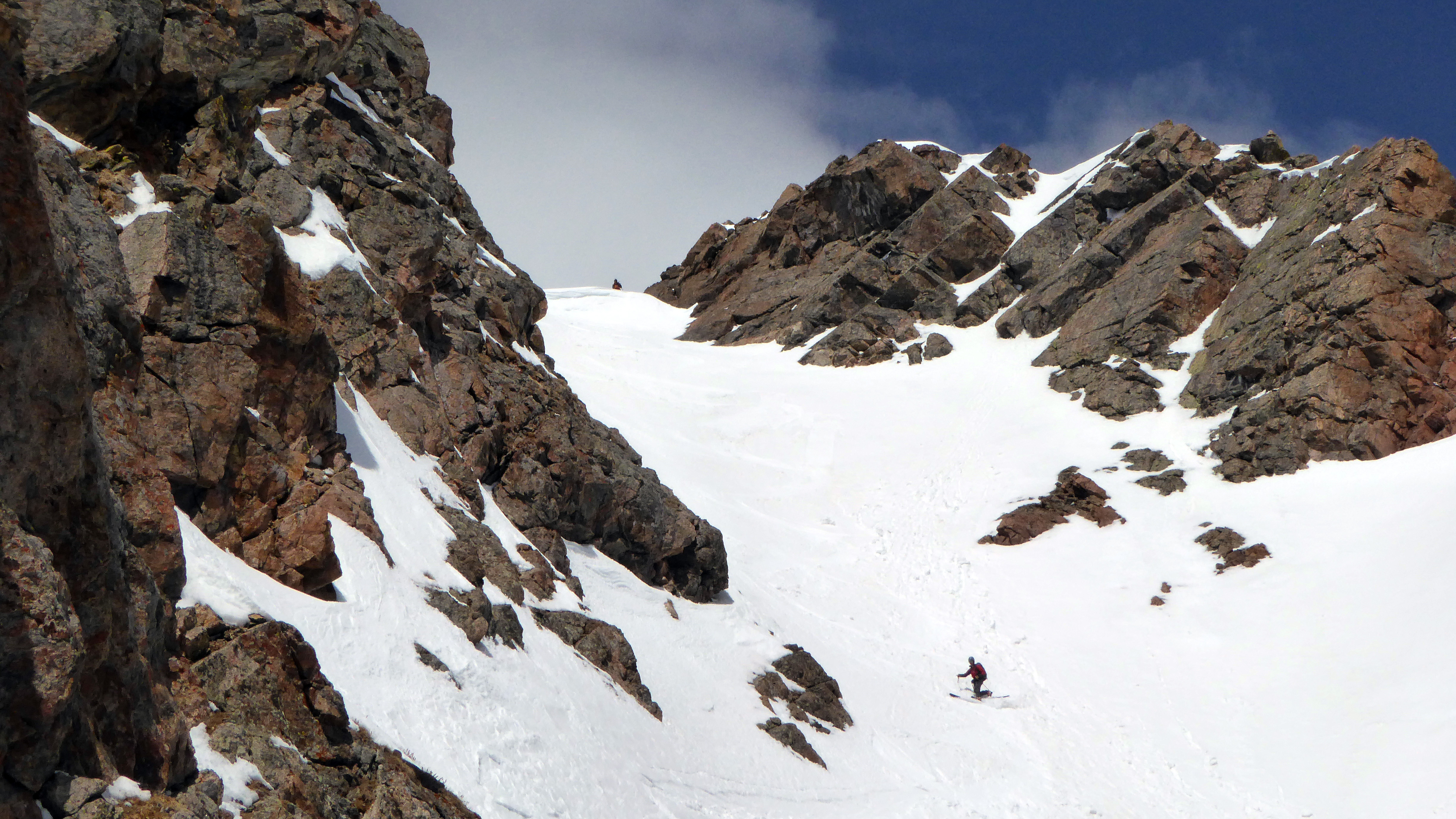
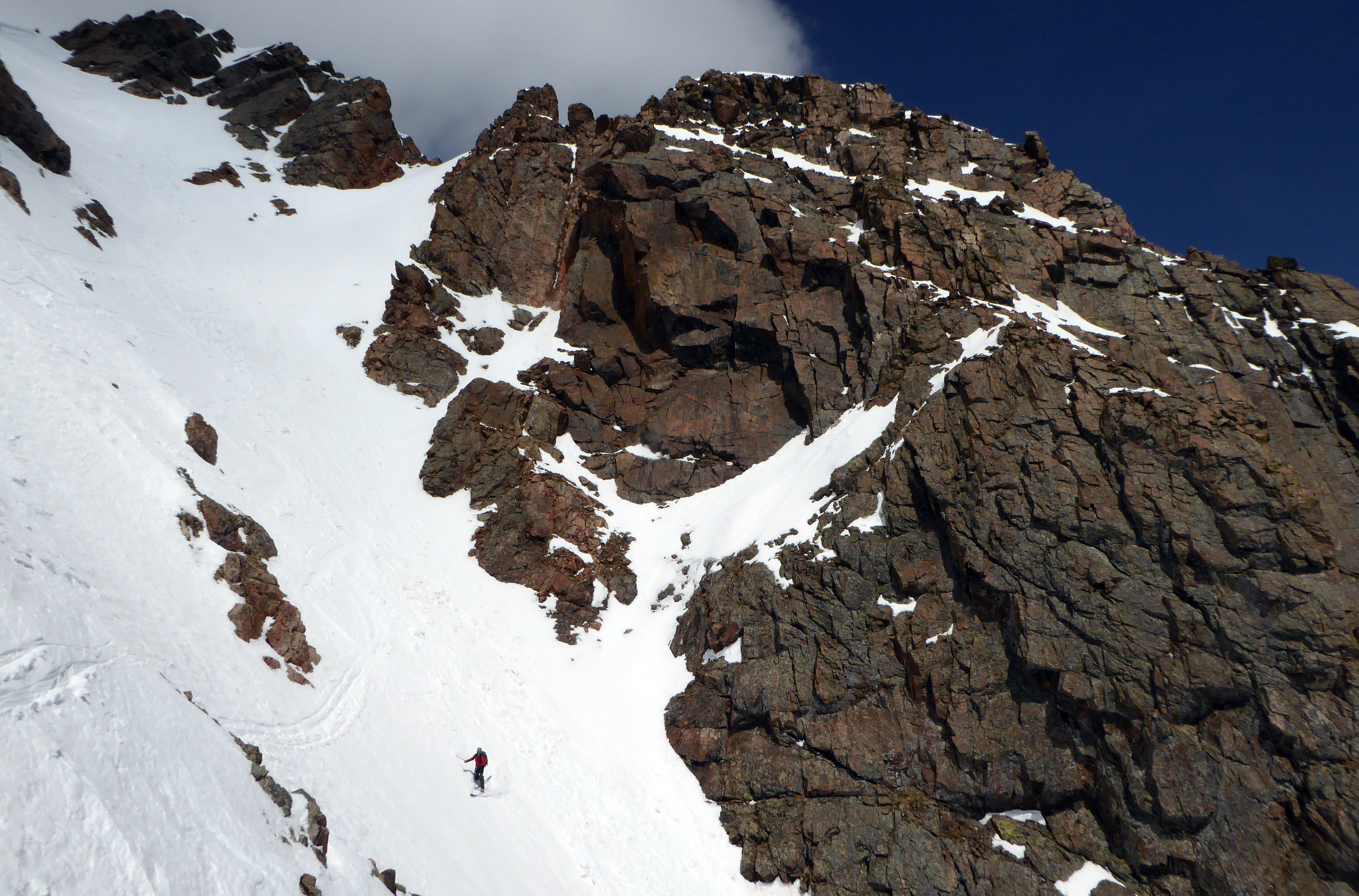
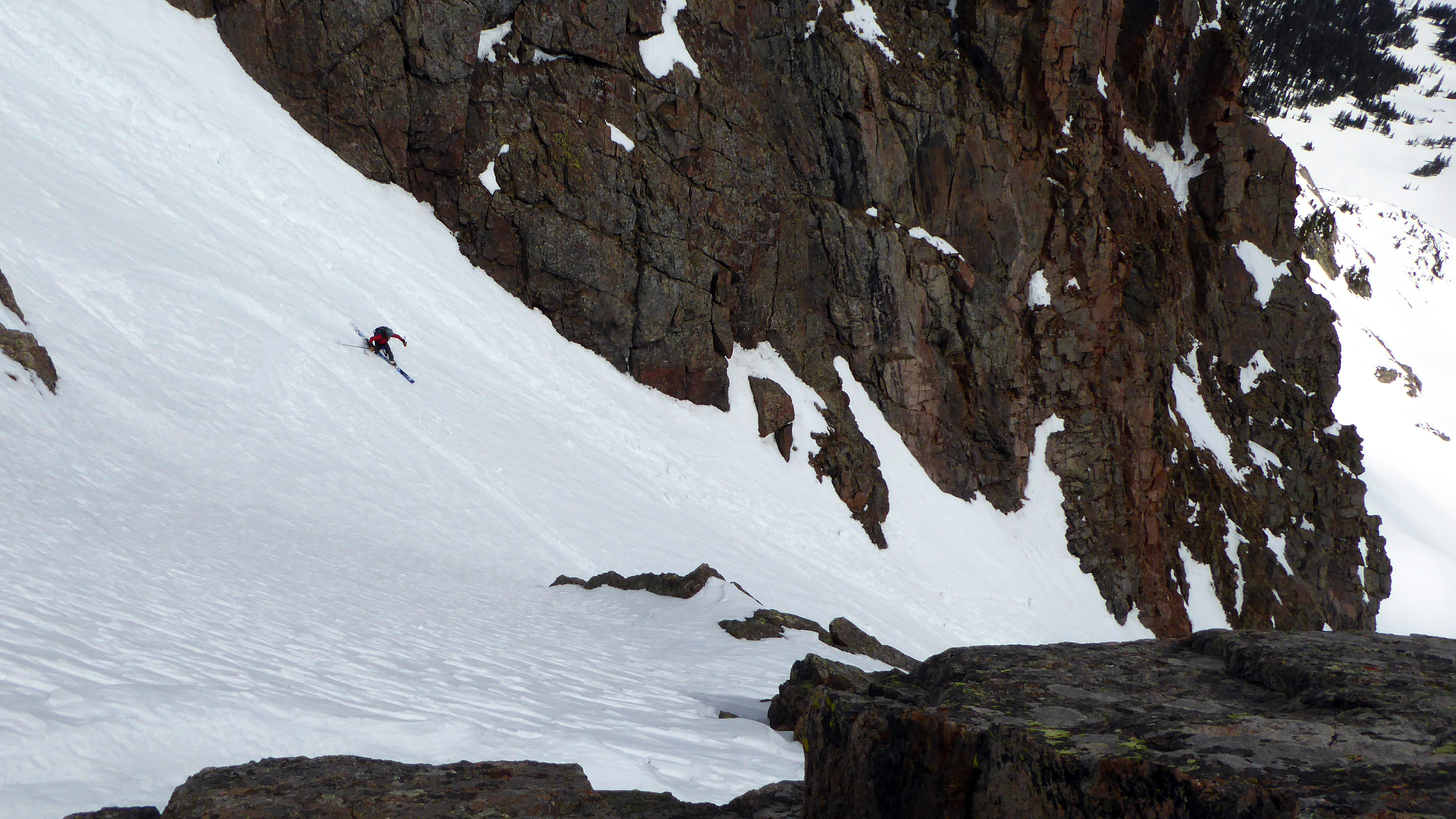
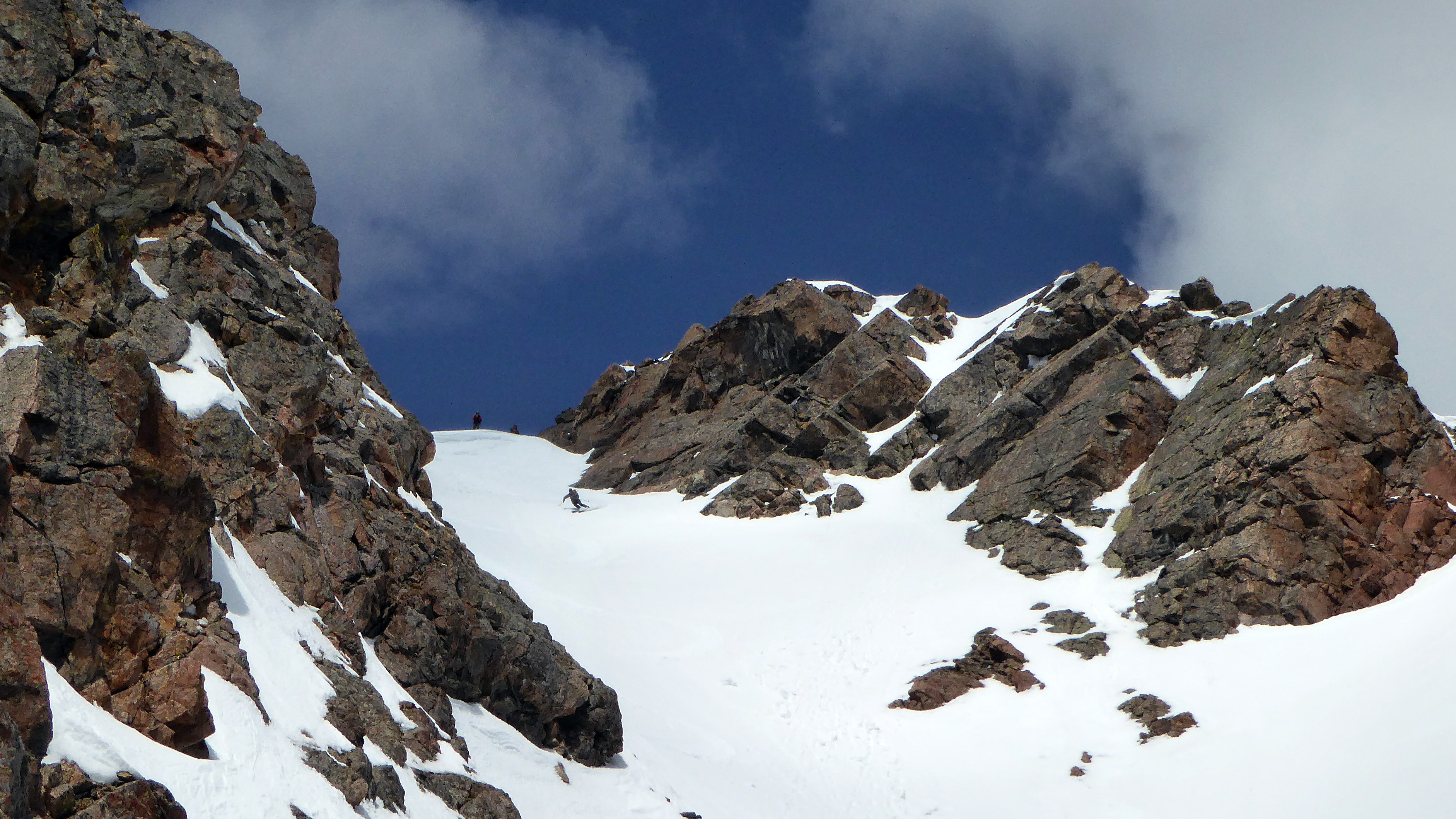
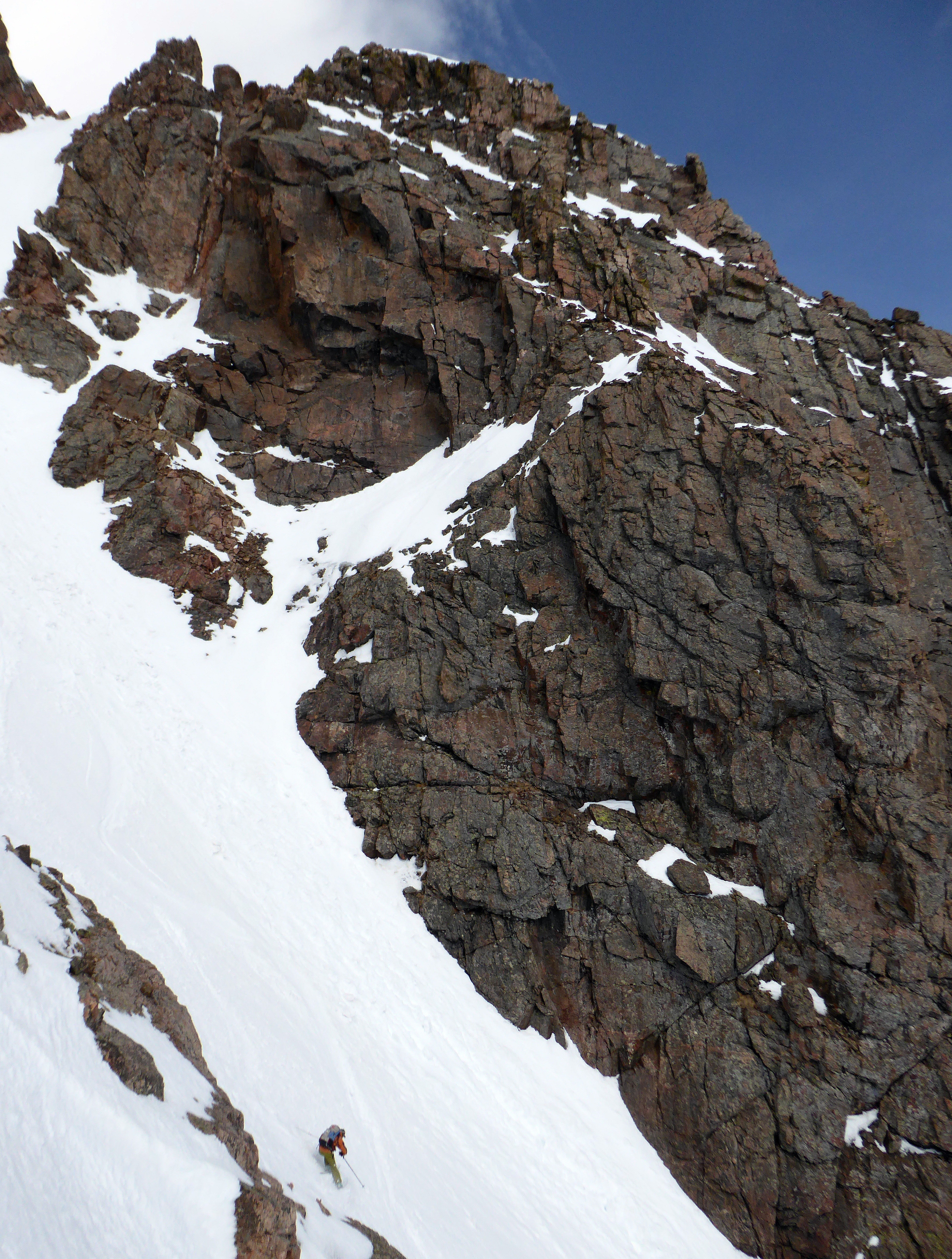
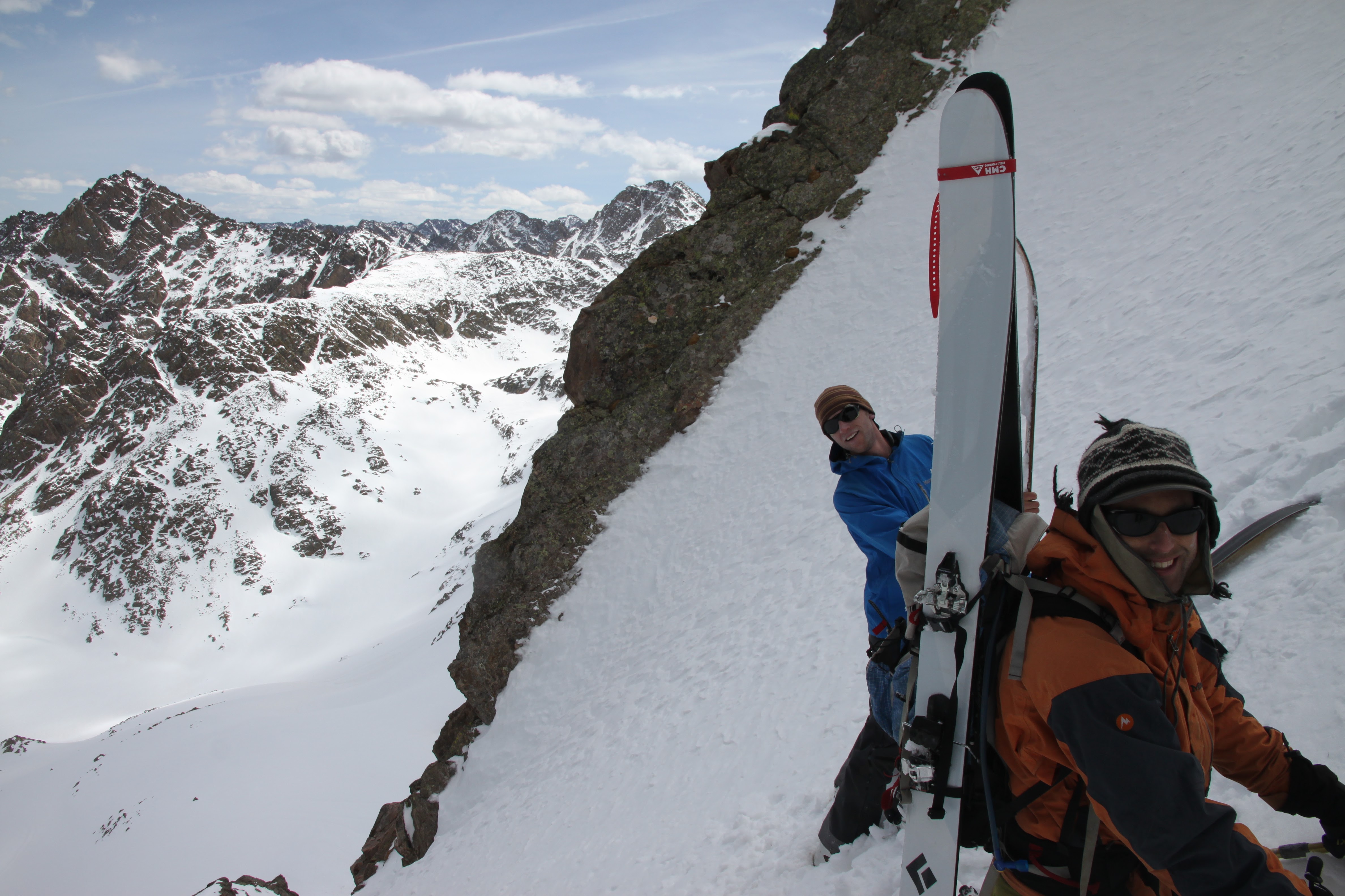
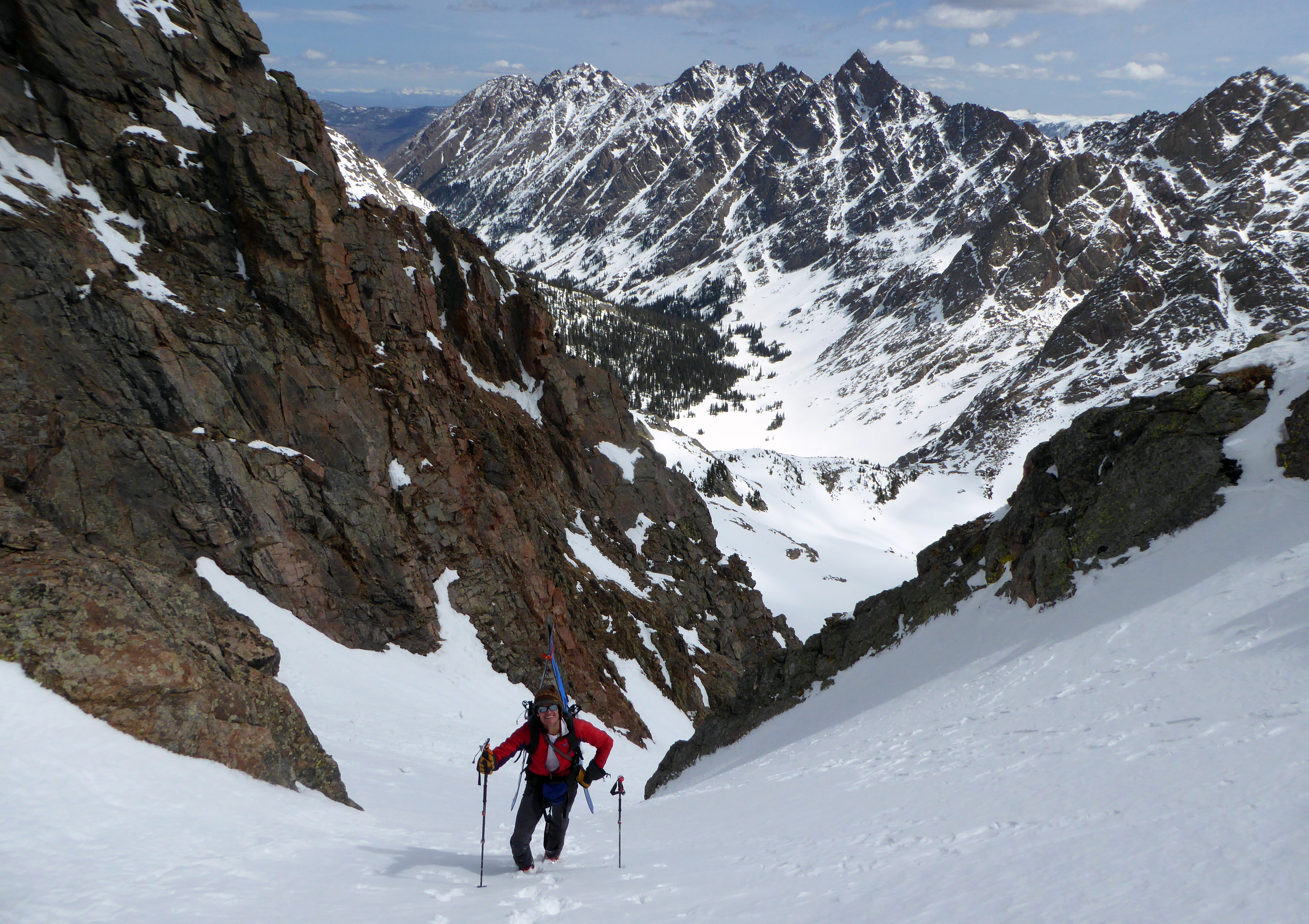
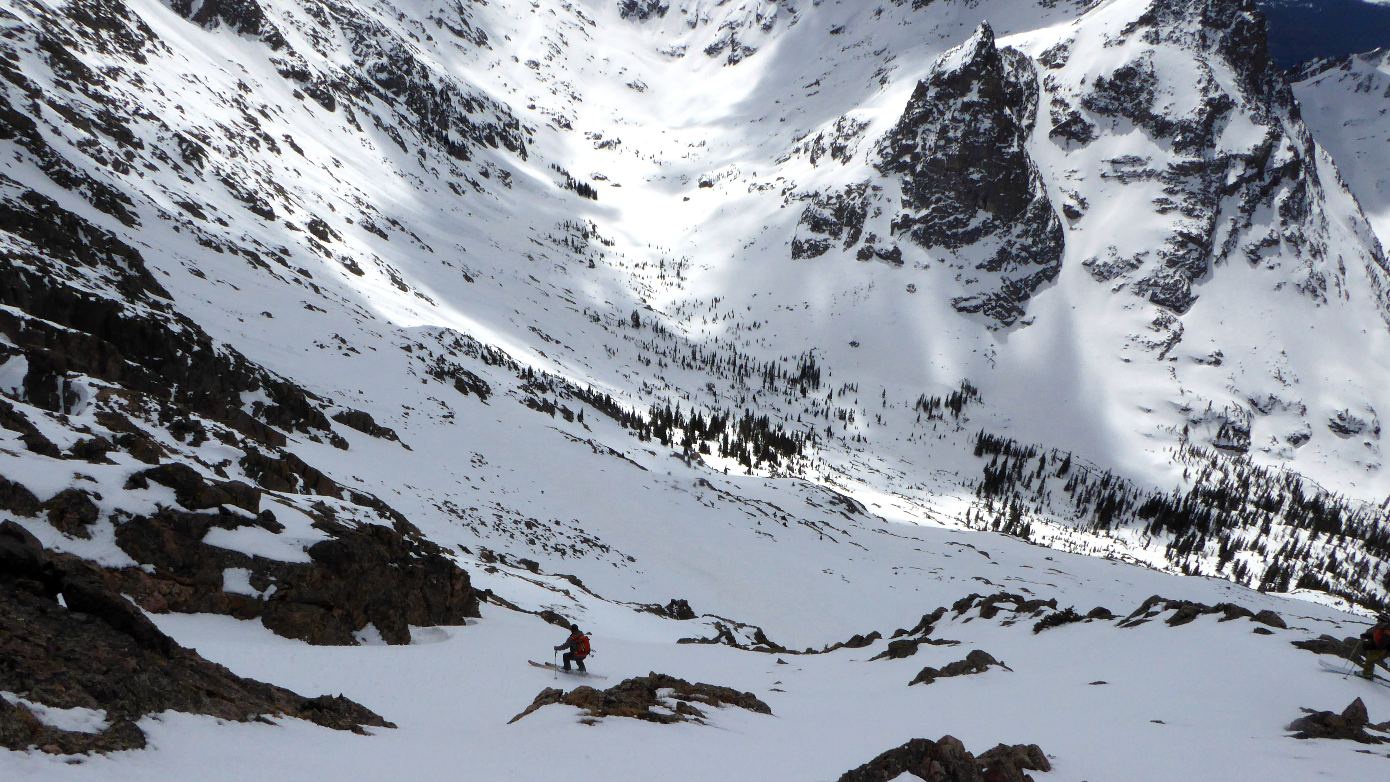
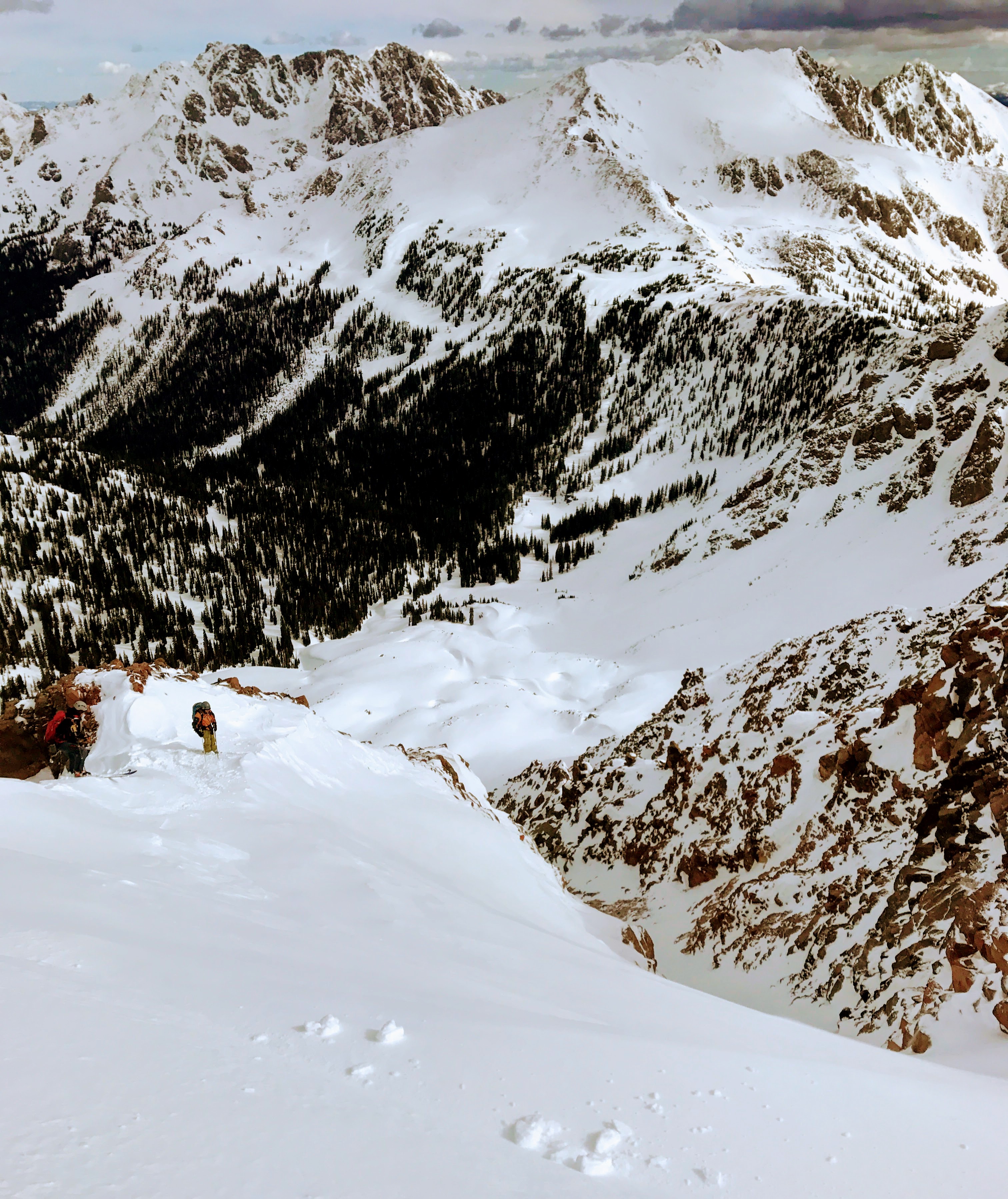
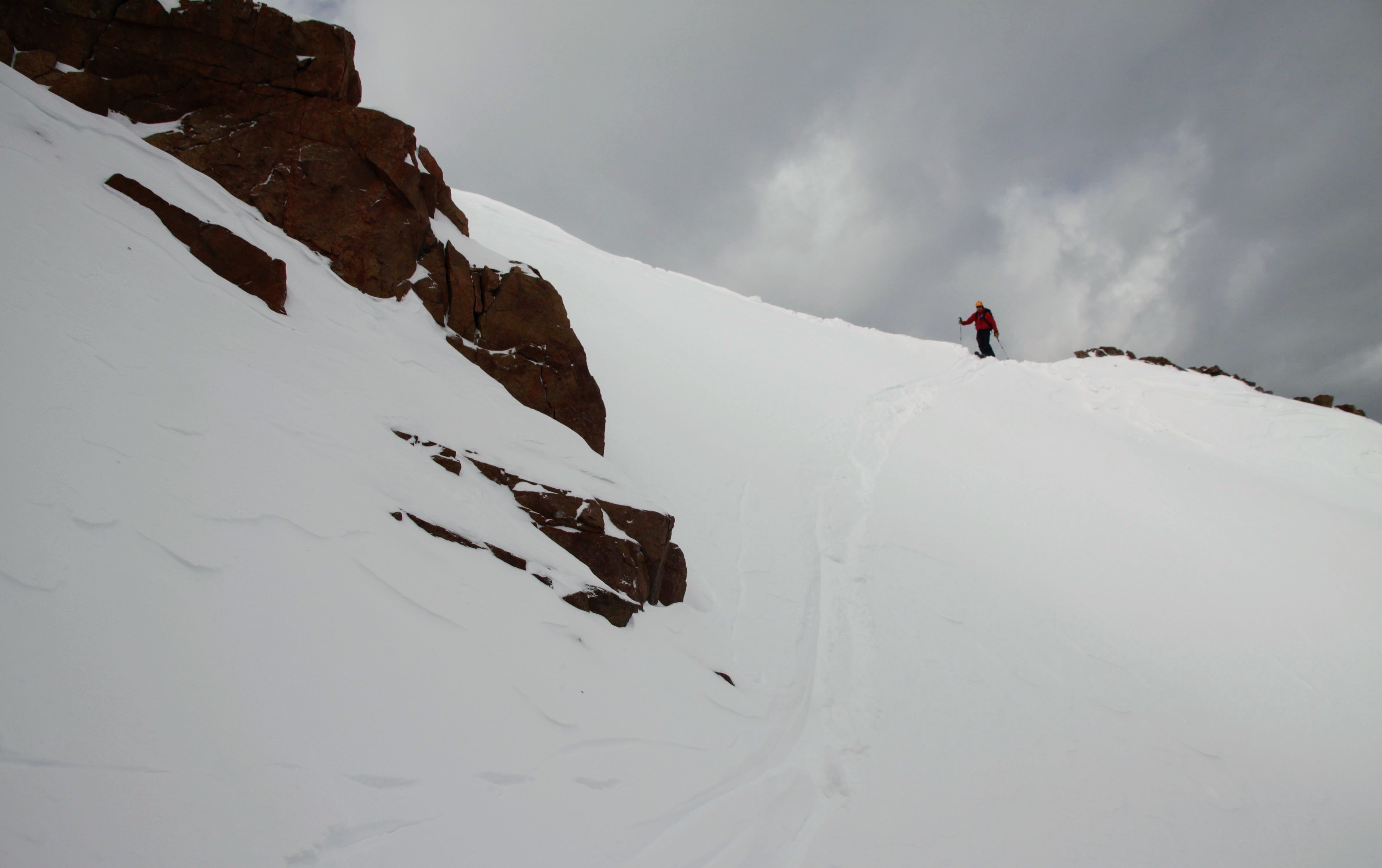
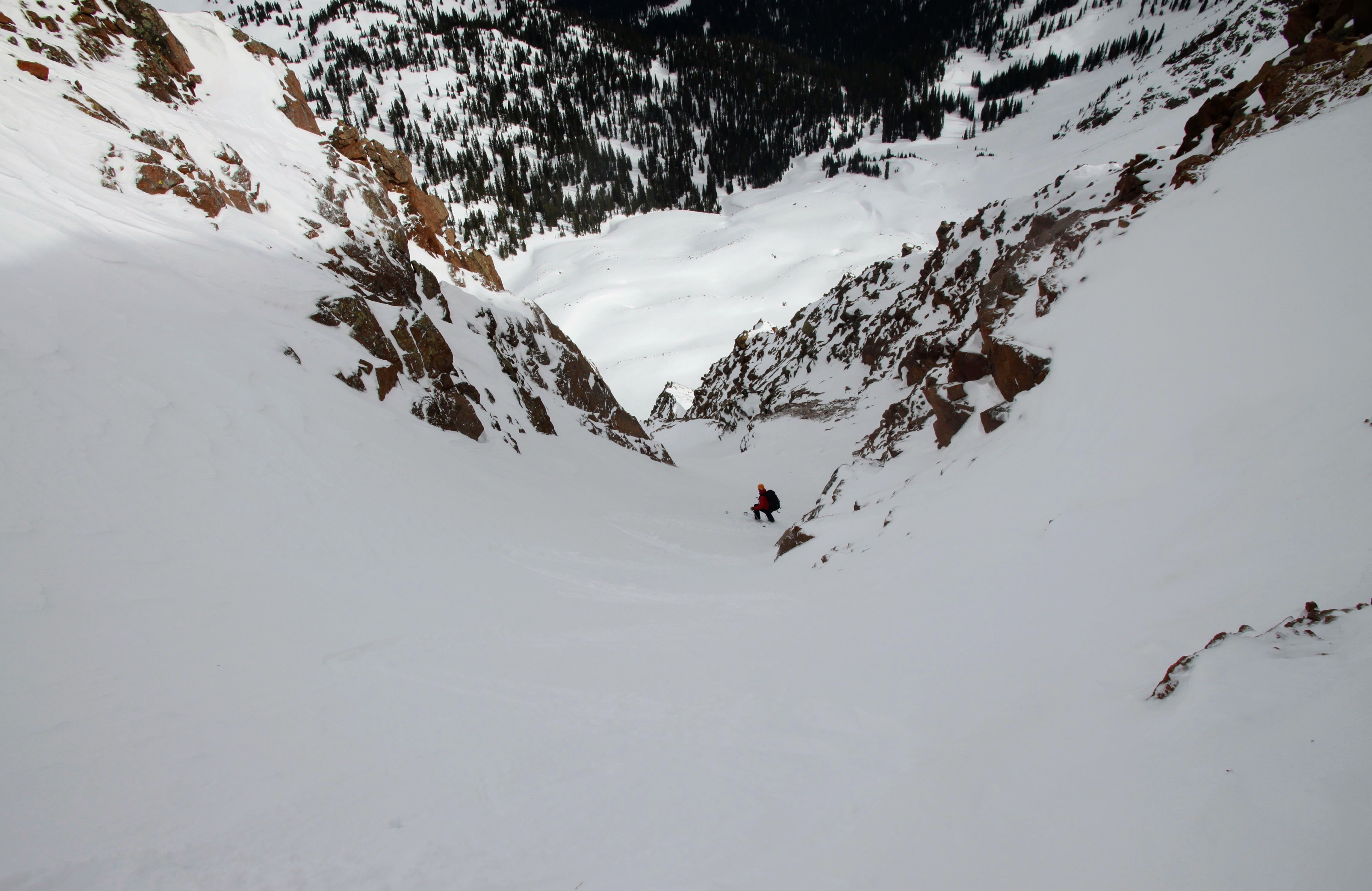
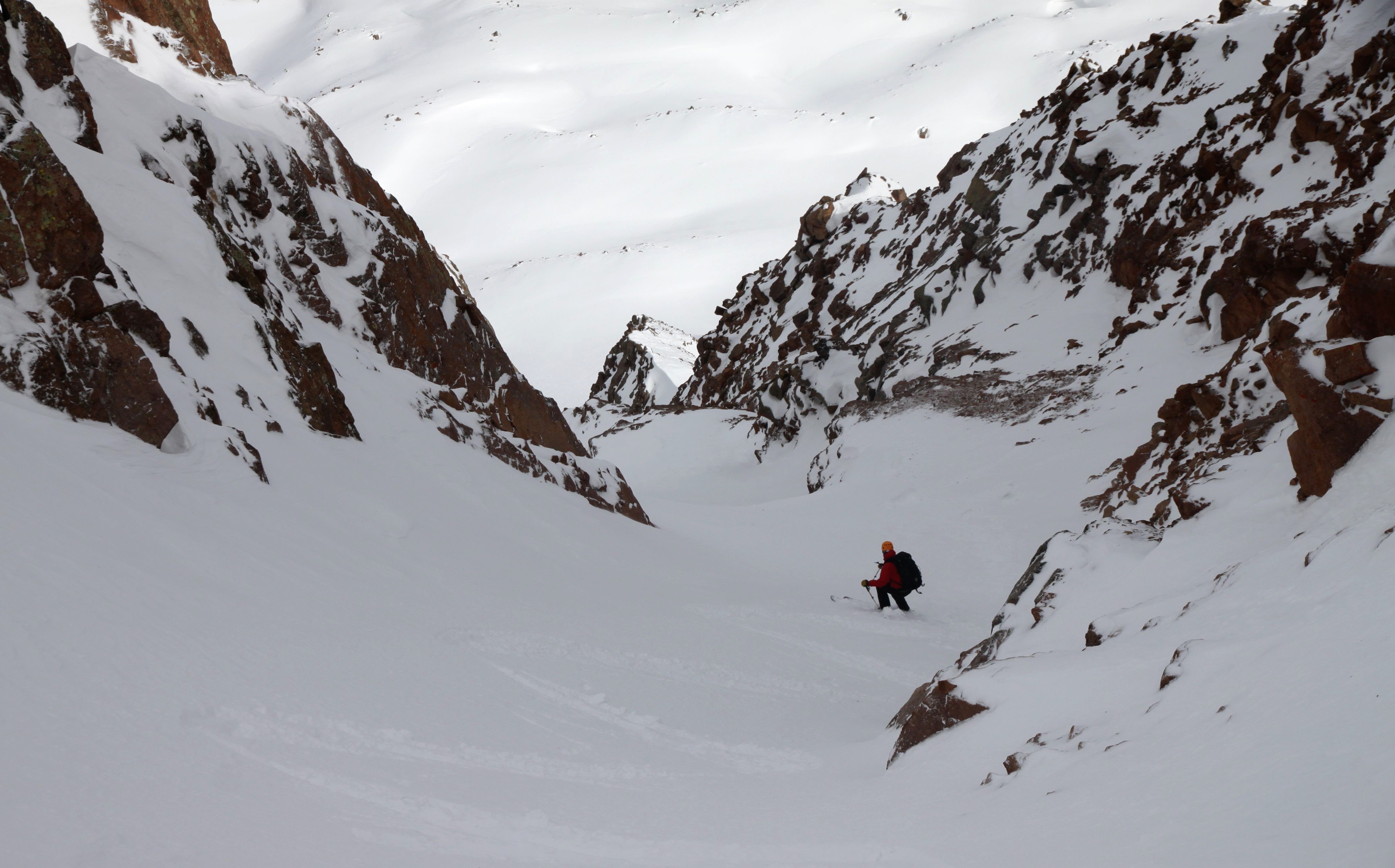
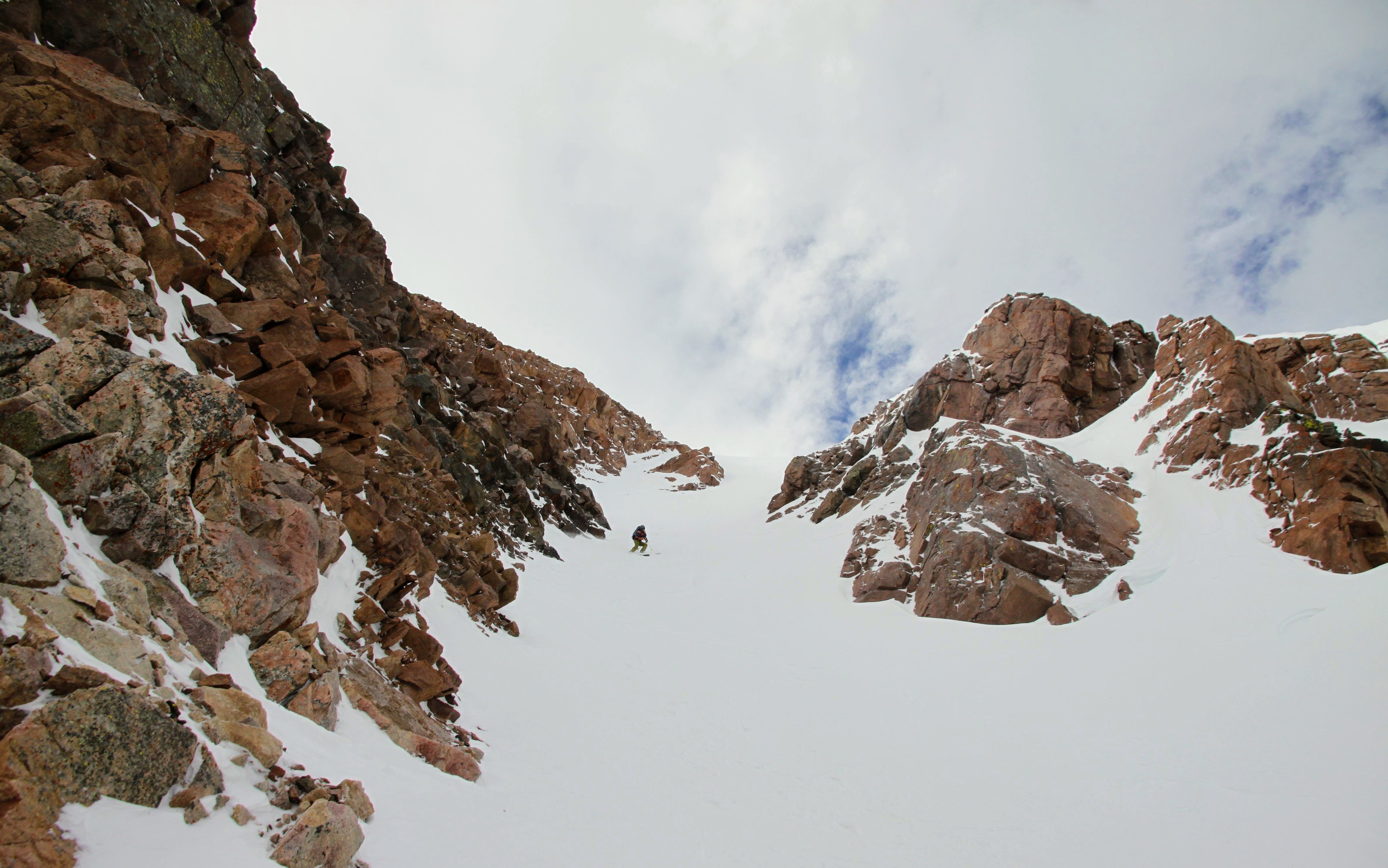
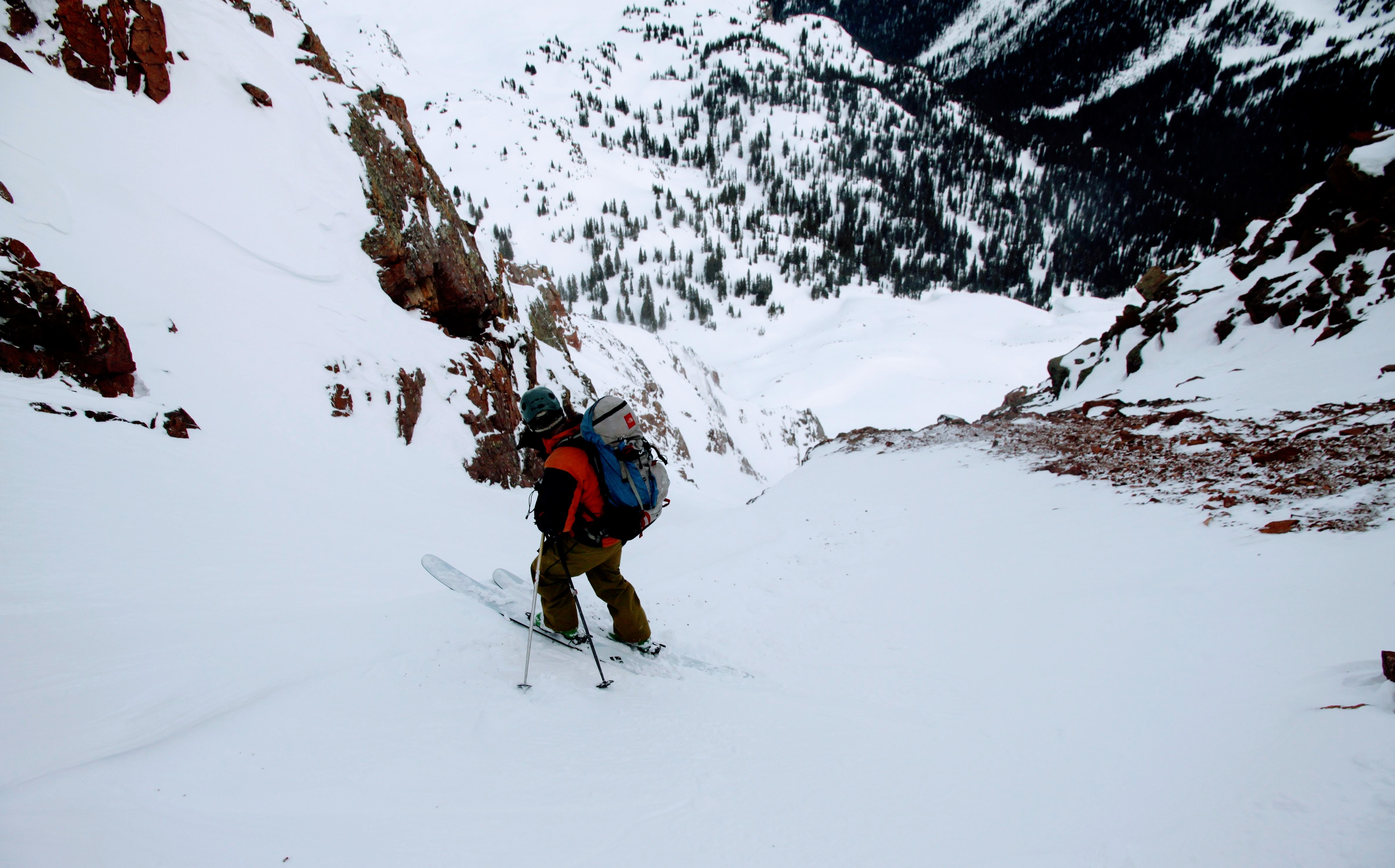
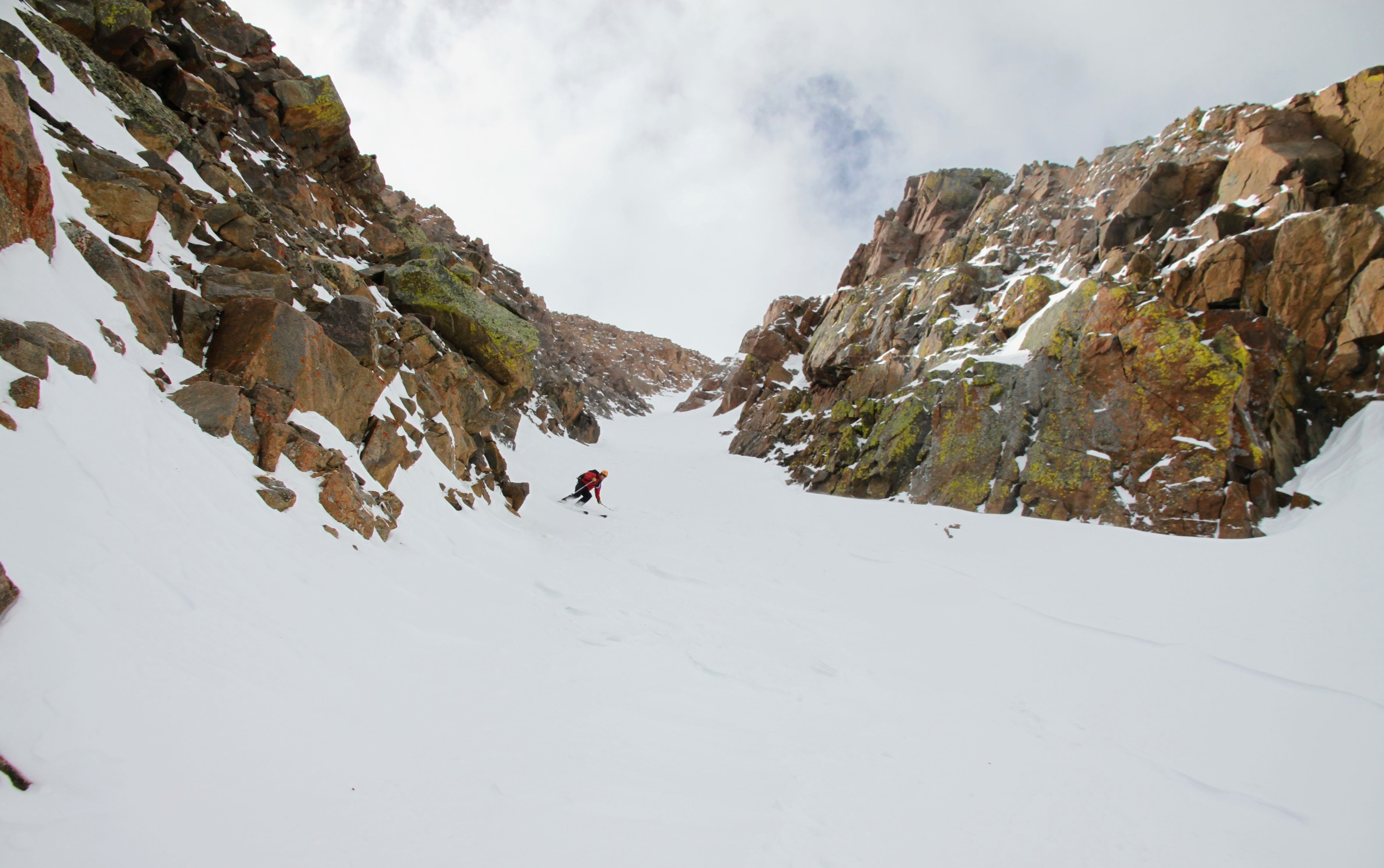
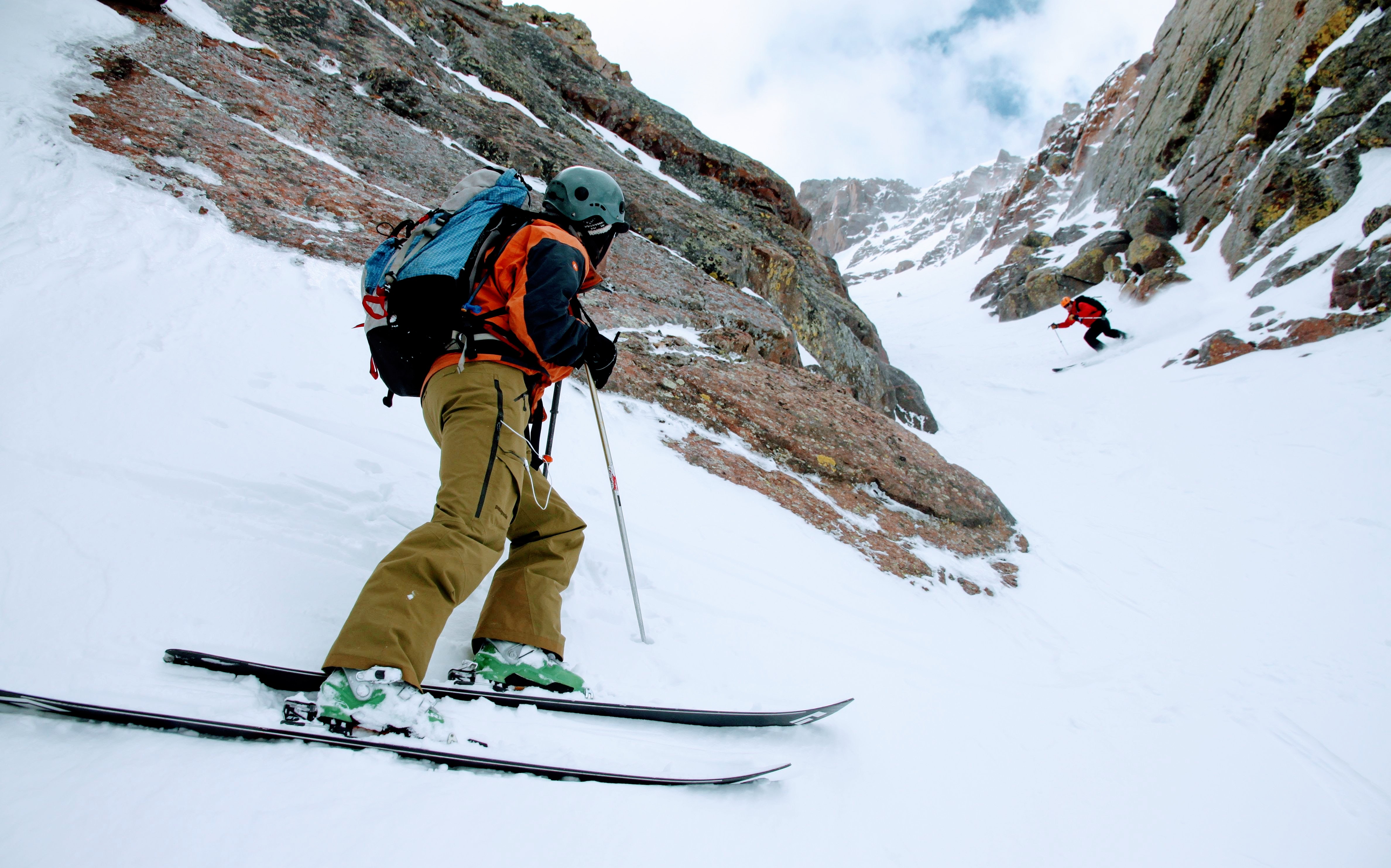
After gorging ourselves, Mikey left to go back to Denver while Marsters decided to come to Vail and give Rob & Kev a ride to our neck of the woods. We got back around 9pm that Thursday evening only to miss seeing Sawyer to bed, but absolutely loved seeing Ken, Dianne, Rainie, & Kona. Rainie held on for me and I think perked up quite a bit upon my return. Marsters, Kev, & Rob slept at J’s house. We took them rock climbing Friday afternoon and Marsters, me, Mikey, and Rob wanted to give Rob another taste of Colorado so we all climbed the Cross Couloir on Saturday morning for a fun 7 hour outing. Rob had a blast. We had to get him at least one summit while out in the Rockies! Meanwhile, Sawyer and the Oelbergers had so much fun in our 5 day absence:
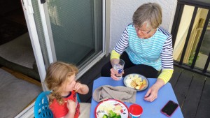
Lunch with Nana

Pool time

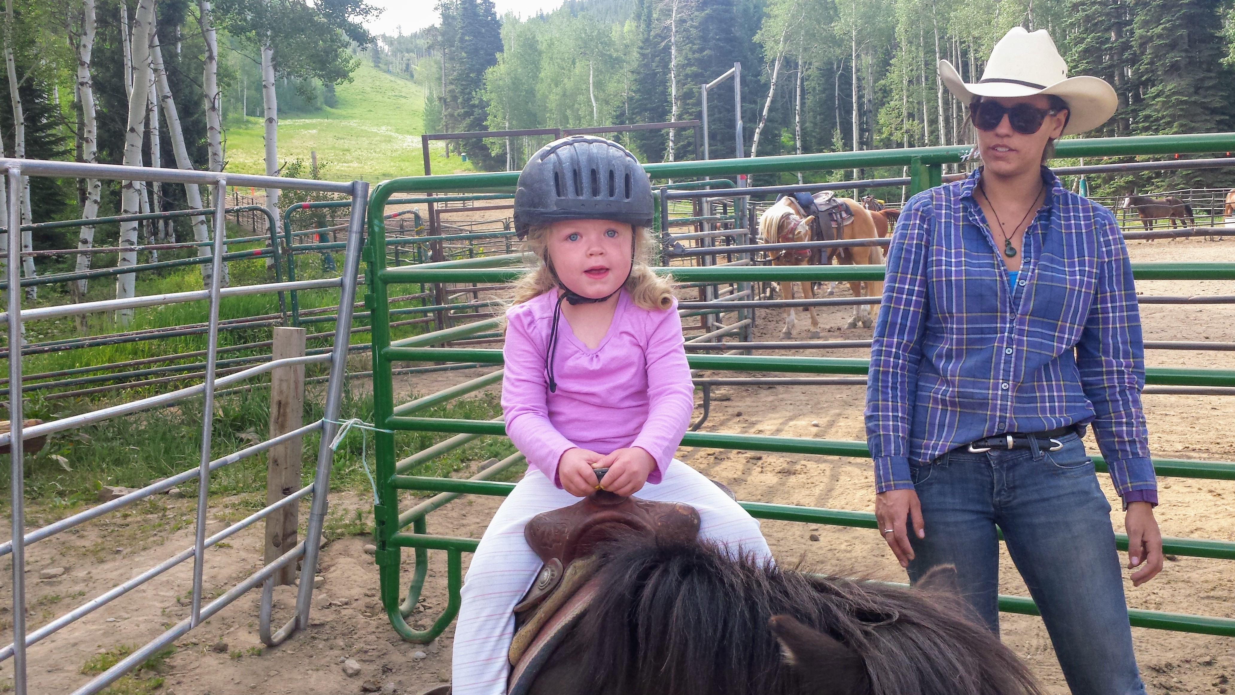
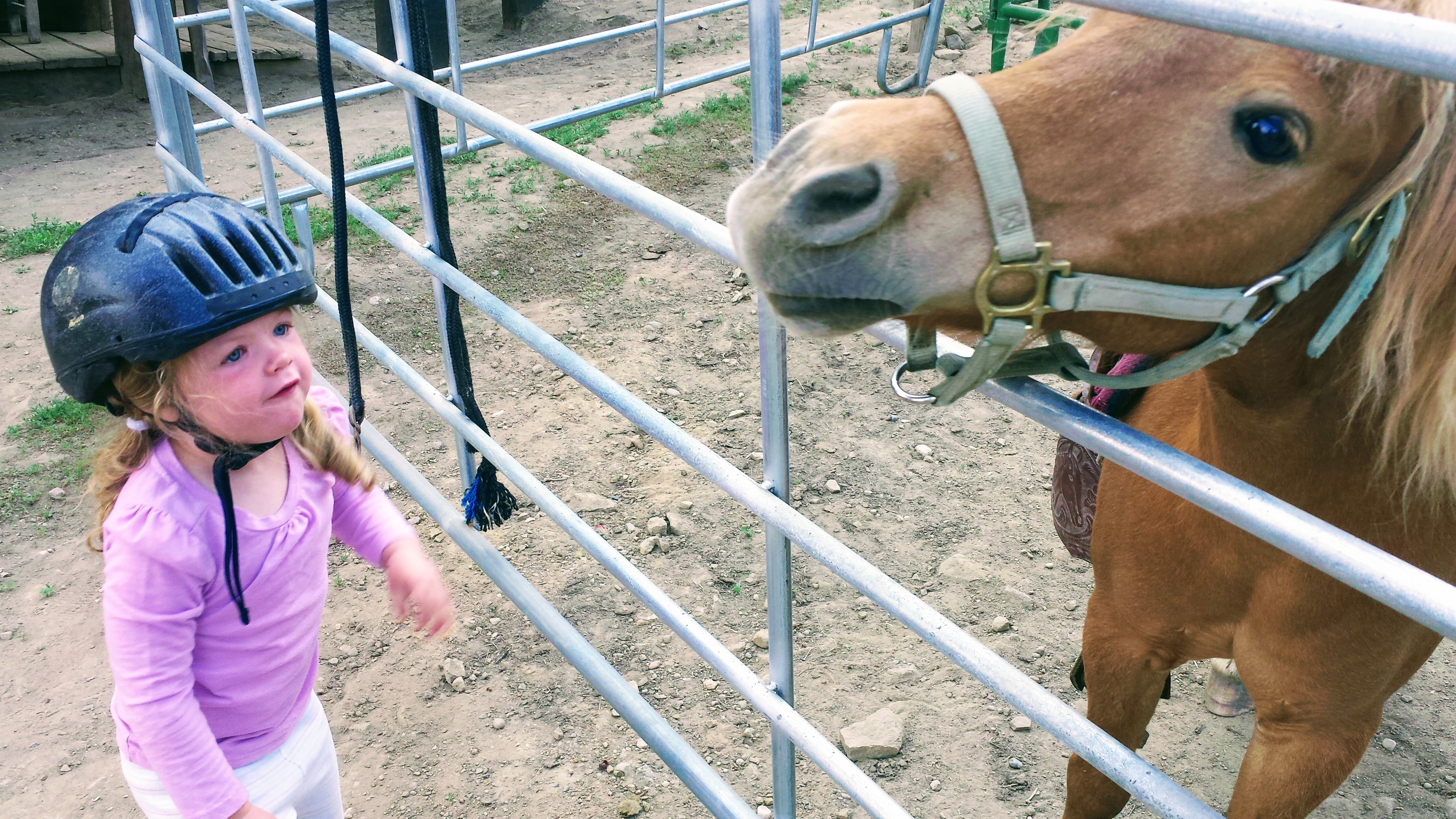
Horse riding at the Beaver Creek Stables
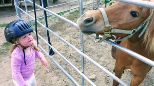
Sawyer loves her neigh-neighs
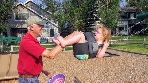
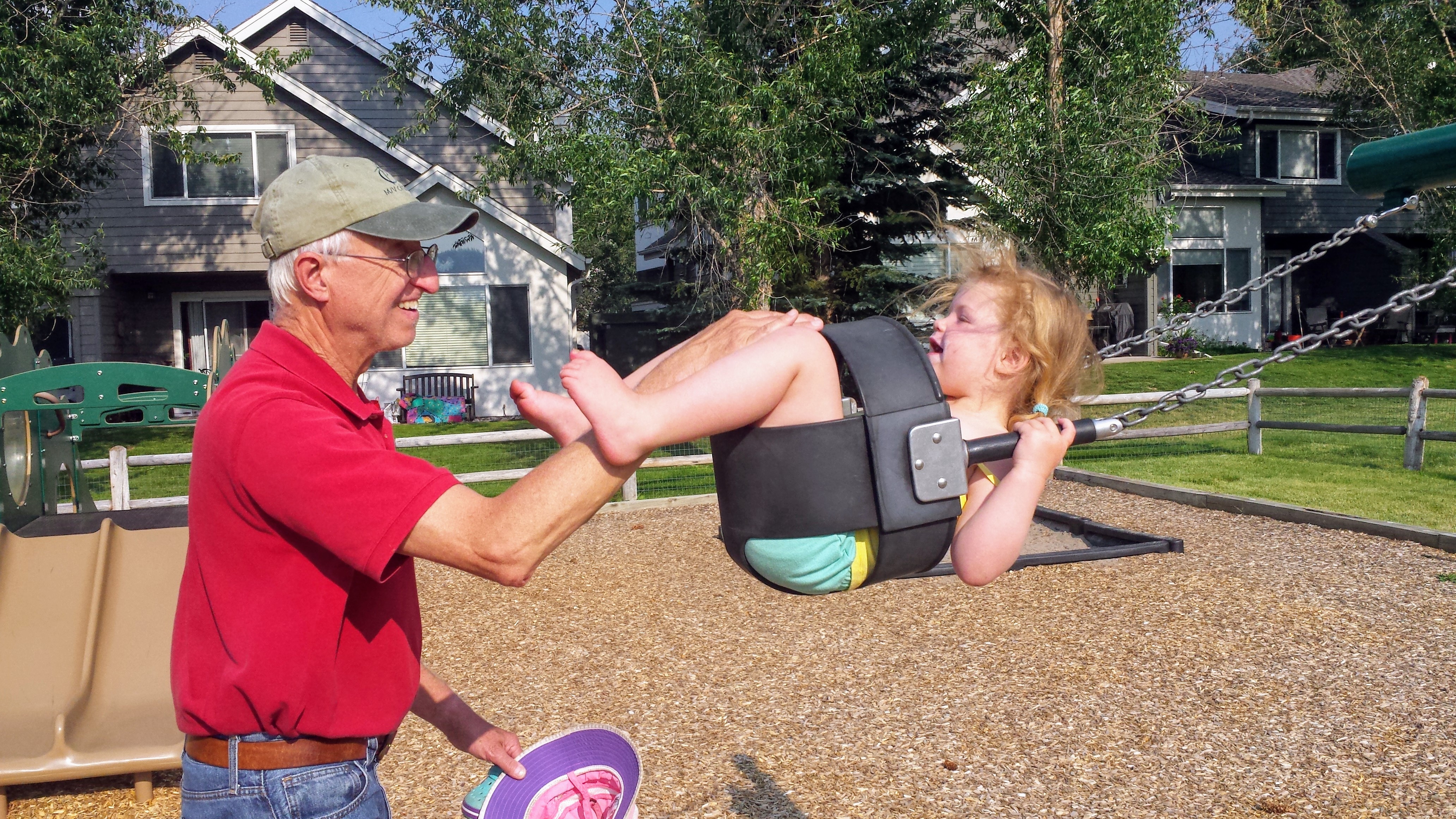
Swinging with Papa
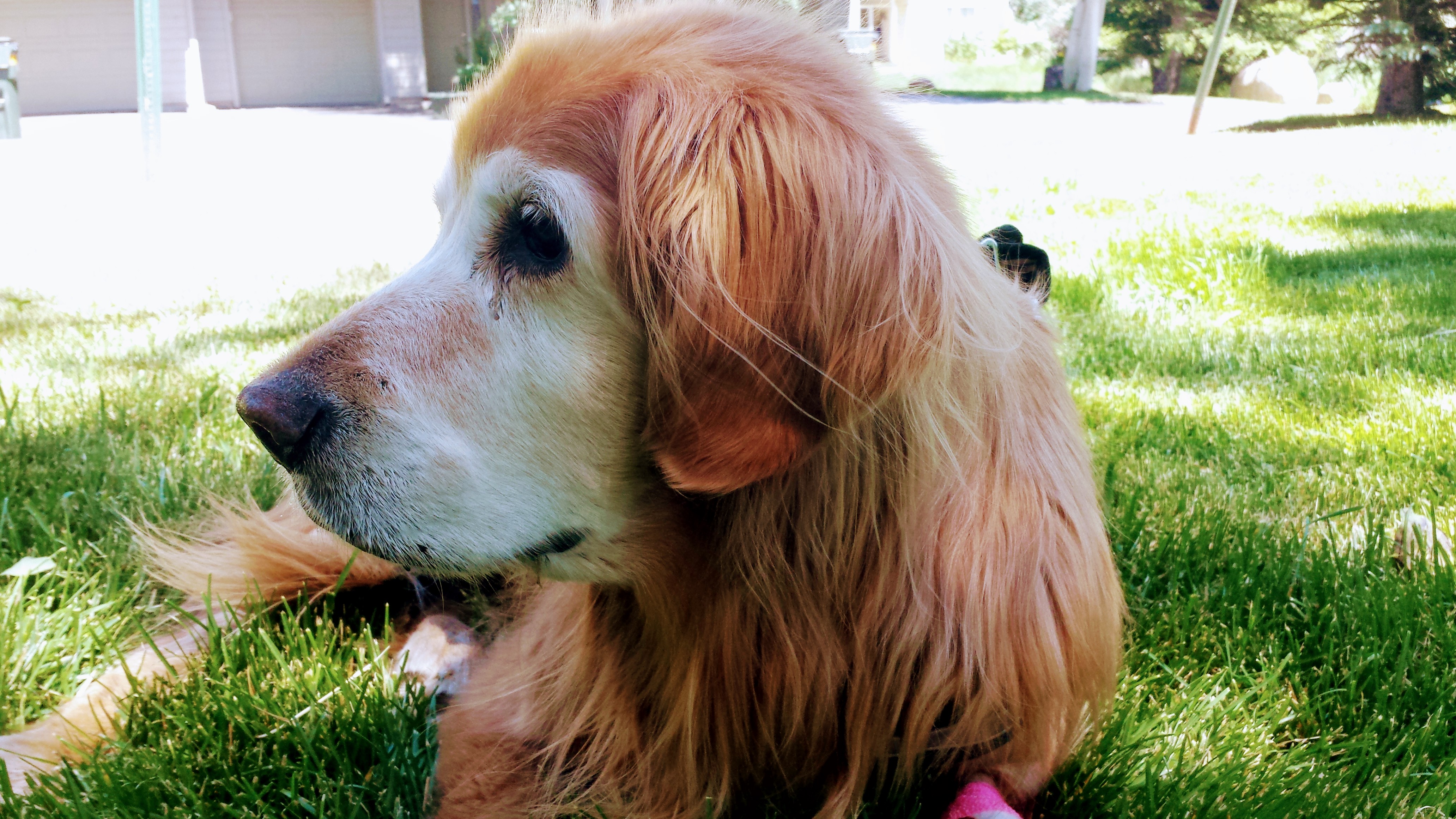
My 14.5 year old Rainie
It was an unbelievable 40th birthday week for myself with my wife and close friends. Special thanks to Ken & Dianne for again shouldering our responsibilities at home so Kristine and I could get out together. Even though we fell short of the actual summit of Gannett, we climbed 98% of the mountain in tough travel conditions. So, I’m 0-2 on Gannett now 🙂 Gannett is the only mountain I have tried to climb and been unsuccessful still. So, I will just have to go back. We’ve done it the hardman way. Next time, we’ll go in August/September, get some pack horses for a leisurely cruise into Upper Titcomb Basin, bring skis, alpine racks and ropes, and have a blast. Maybe for my 41st birthday. We’ll see.


 Follow