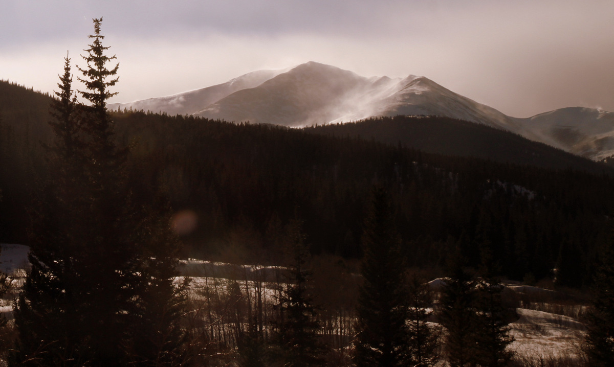
Spring on Pettingell Peak
Well, it seemed like spring was never going to arrive, especially on the weekends as snow and rain storms seem to come in about every weekend. But, last Sunday was more like the spring-type conditions for corn skiing we are used to seeing this time of year. It was hot and sunny most of the day (I think Denver even reached into the 80s) and so we probably should have been skiing earlier than we did. Nonetheless it was a super fun day with Kristine, Shawn, Mike, and the dogs (Kona, Fitzy, & our adopted dog for the day, Gus) on some new terrain for all of us. I rarely venture east of Eisenhower Tunnel (except to go to DIA or some special event), but the ski of the 13er Pettingell Peak was worth the short drive east of the Continental Divide.
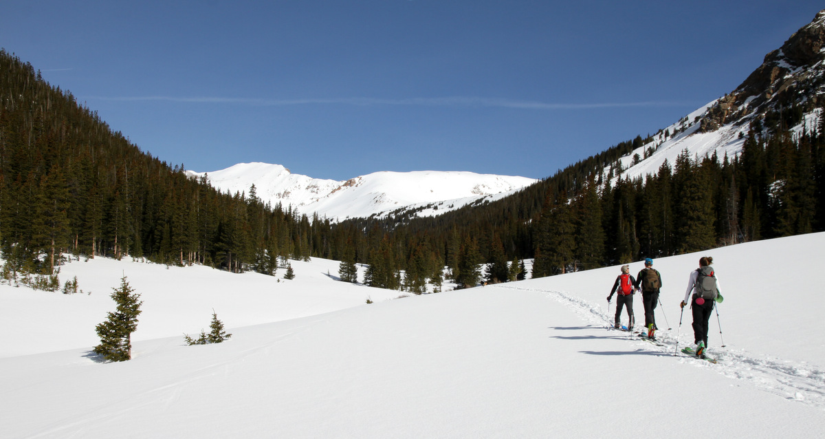
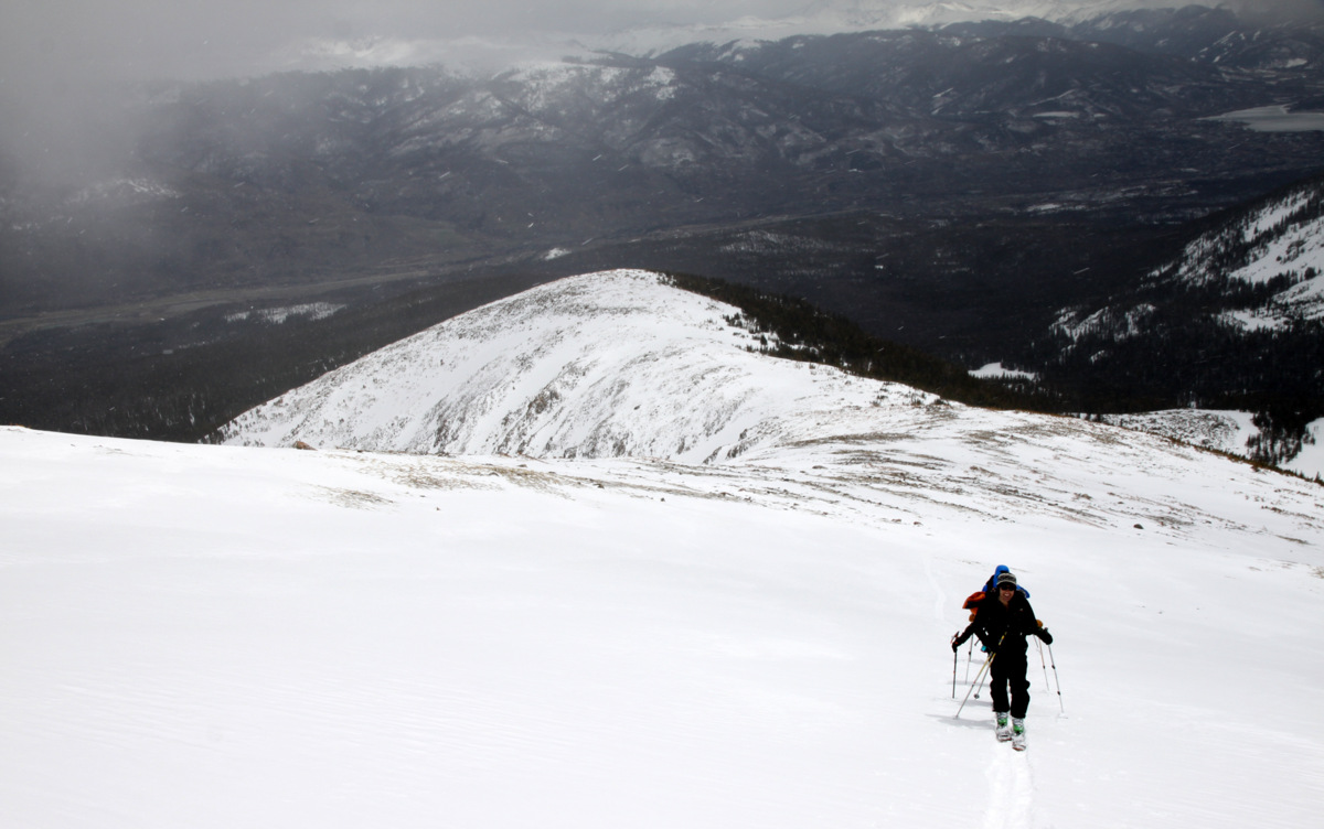
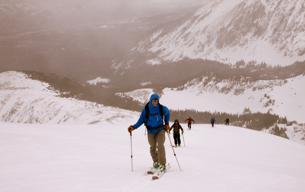
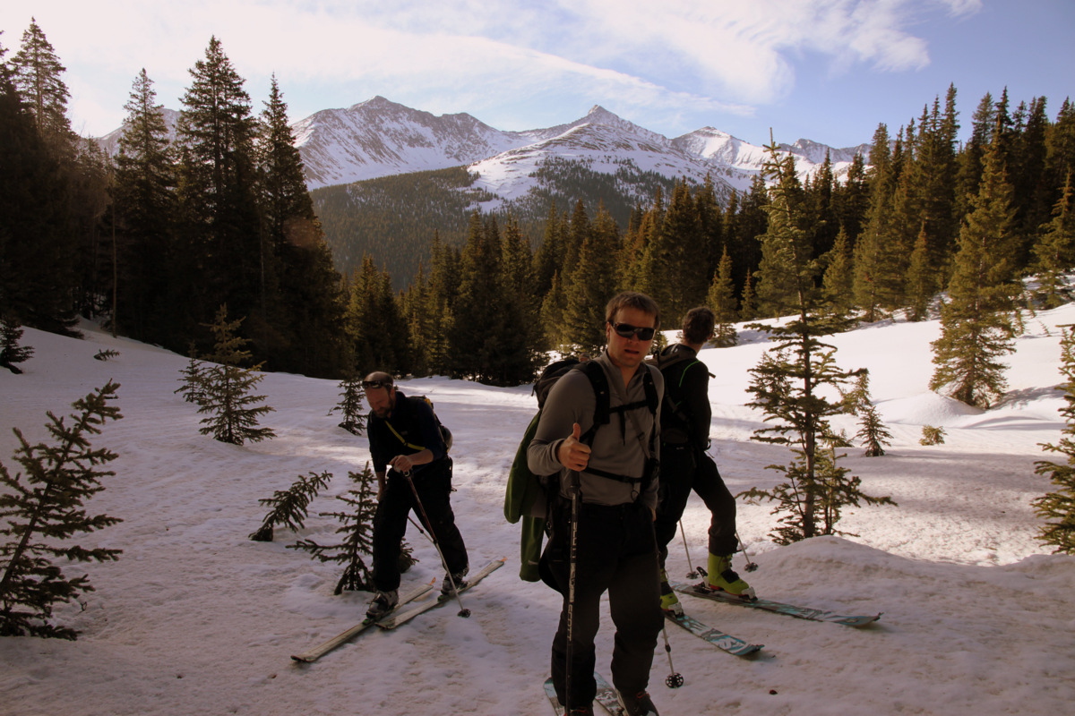
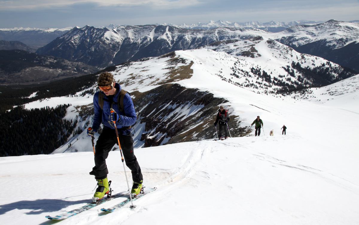
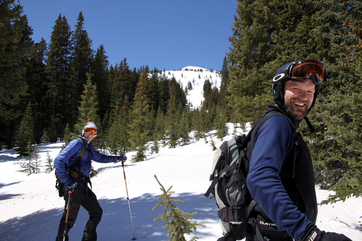
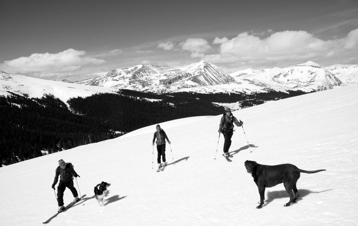
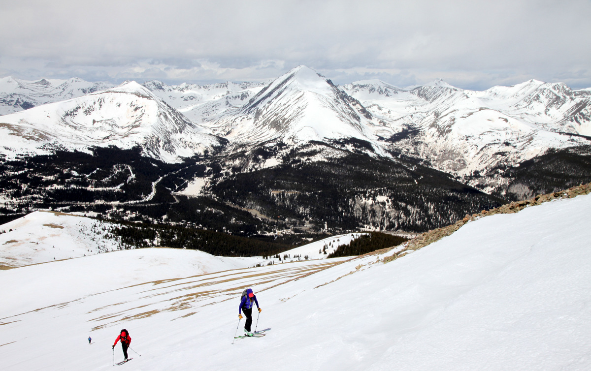
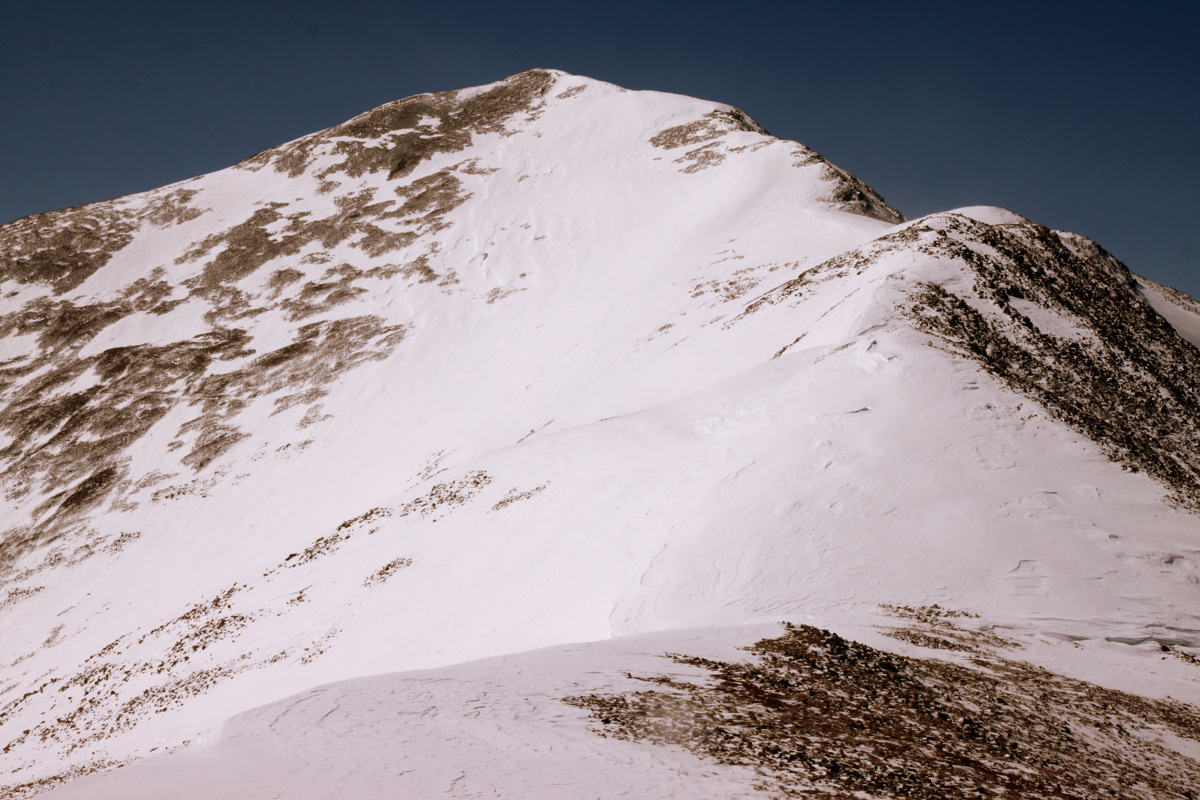
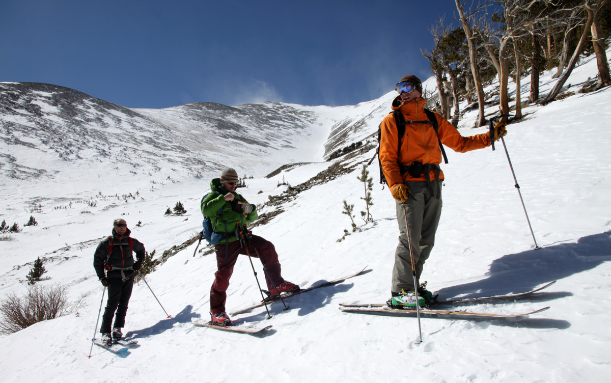
Mike, Shawn, & Kristine skinning up Herman Gulch. Pettingell Peak looms in the distance
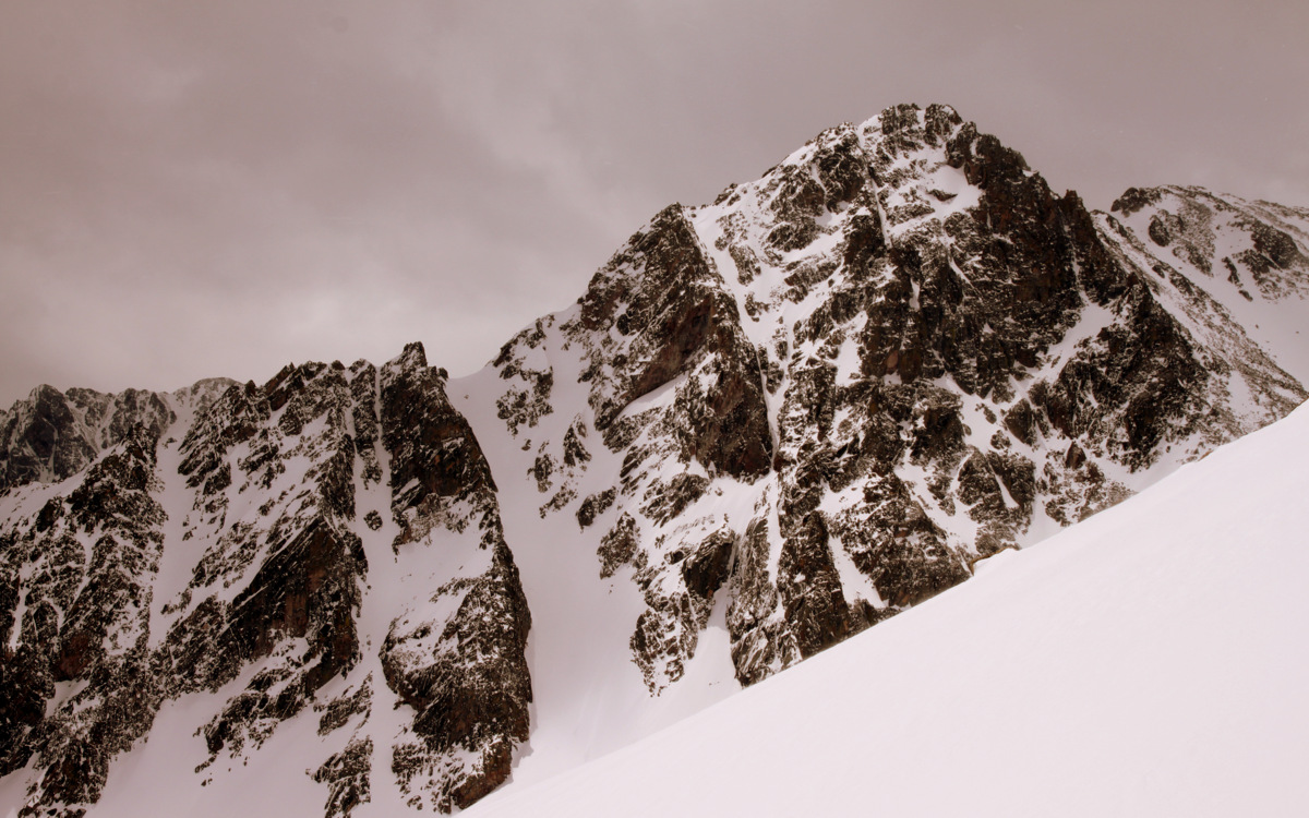
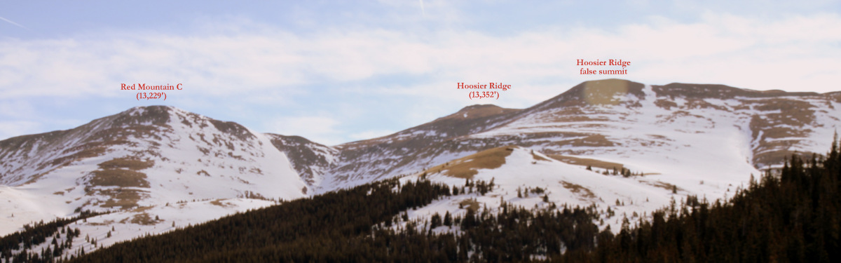
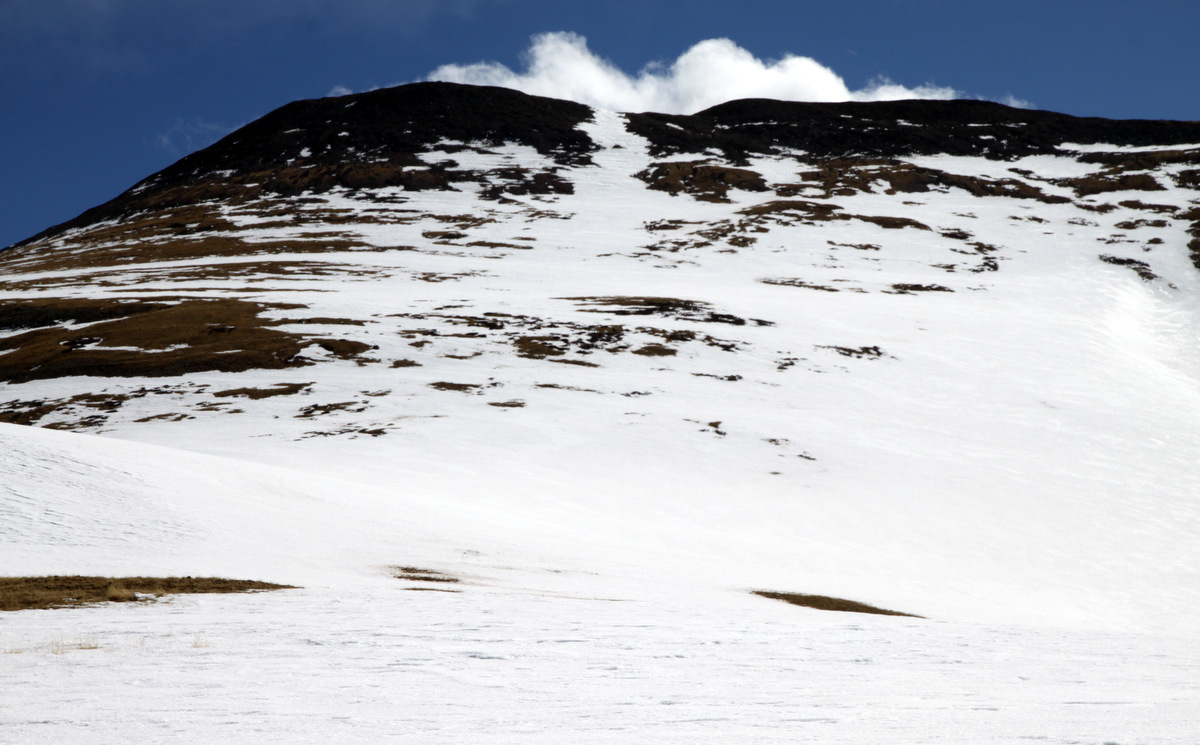
Our plan was to park at the very accessible Herman Gulch trailhead and skin the 3.5 miles or so up Herman Gulch and see what we see. There was the prominent peak dubbed The Citadel (13,294′) with its steeper east-facing chute known as Snoopy’s Backside Chute rocketing down between its two summits. We saw several parties trying to climb this chute, but all made the smart decision of aborting the climb due to wet-slide activity from the snow that fell the previous few days.

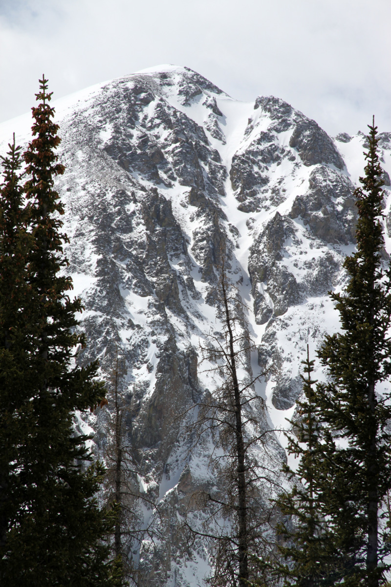
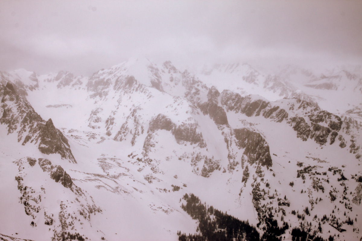
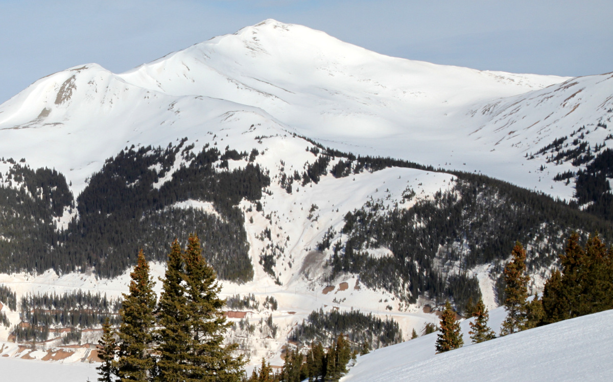
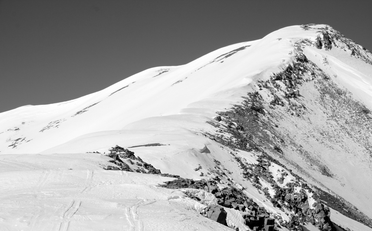
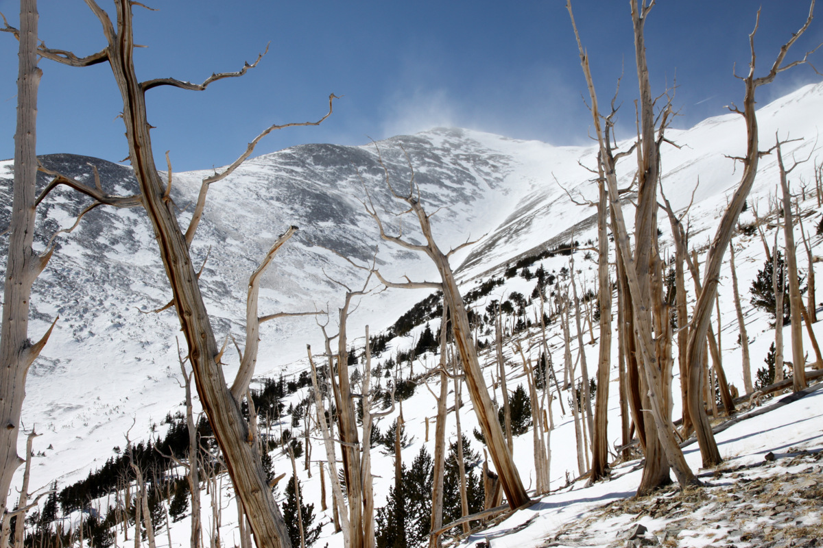
The Citadel (13,294′) as seen from upper Herman Gulch. Two parties can be seen – one down lower in the center of the photo and another traversing towards Snoopy’s Backside Chute
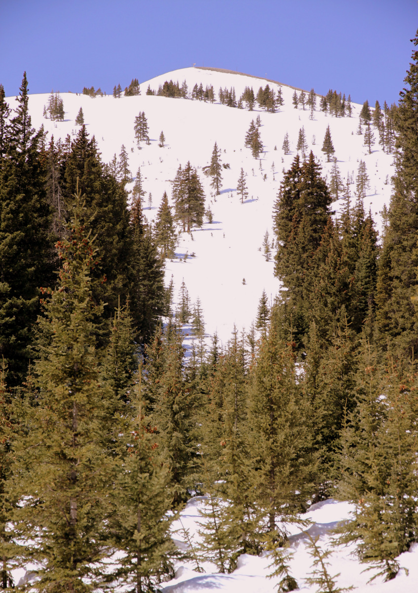
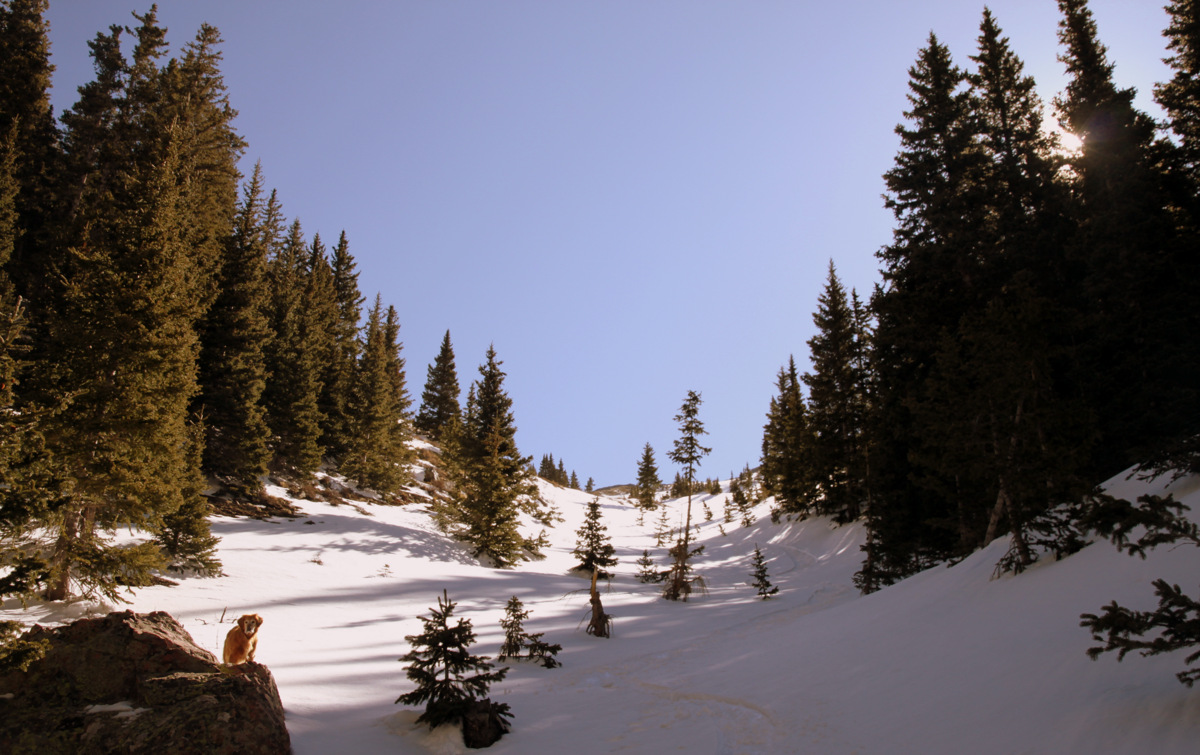
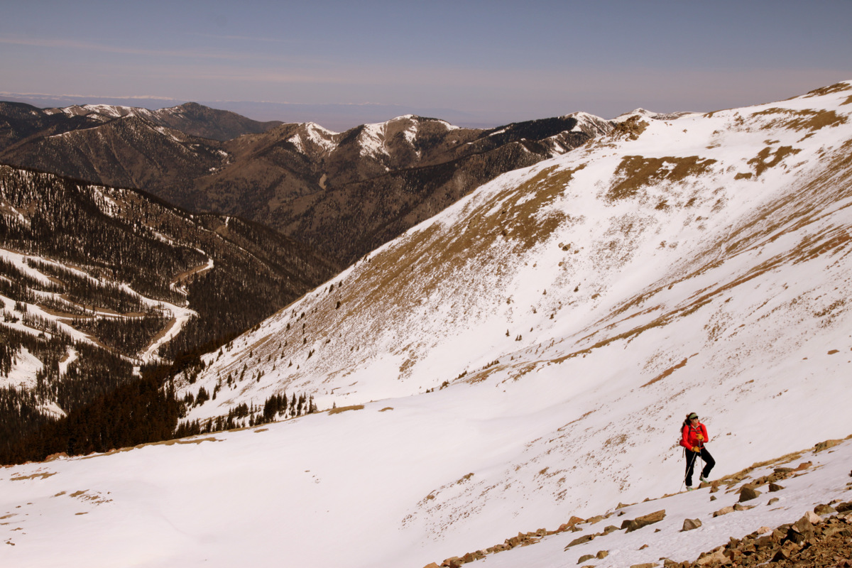
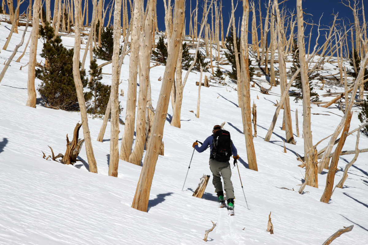
Then there was also the mellower southeast slopes of the highest 13er in the area, Pettingell Peak, that looked pretty fun and safe from any wet-slide activity. It was an absolutely gorgeous day to be up high and because of all the noticeable wet-slide activity on the steeper slopes over maybe 35 degrees, we chose to continue on up Pettingell. We left the Herman Gulch trailhead around 8:15am, shouldered our skis for only a half mile, and then started skinning up the beautiful Herman Gulch on a well-groomed skin track.
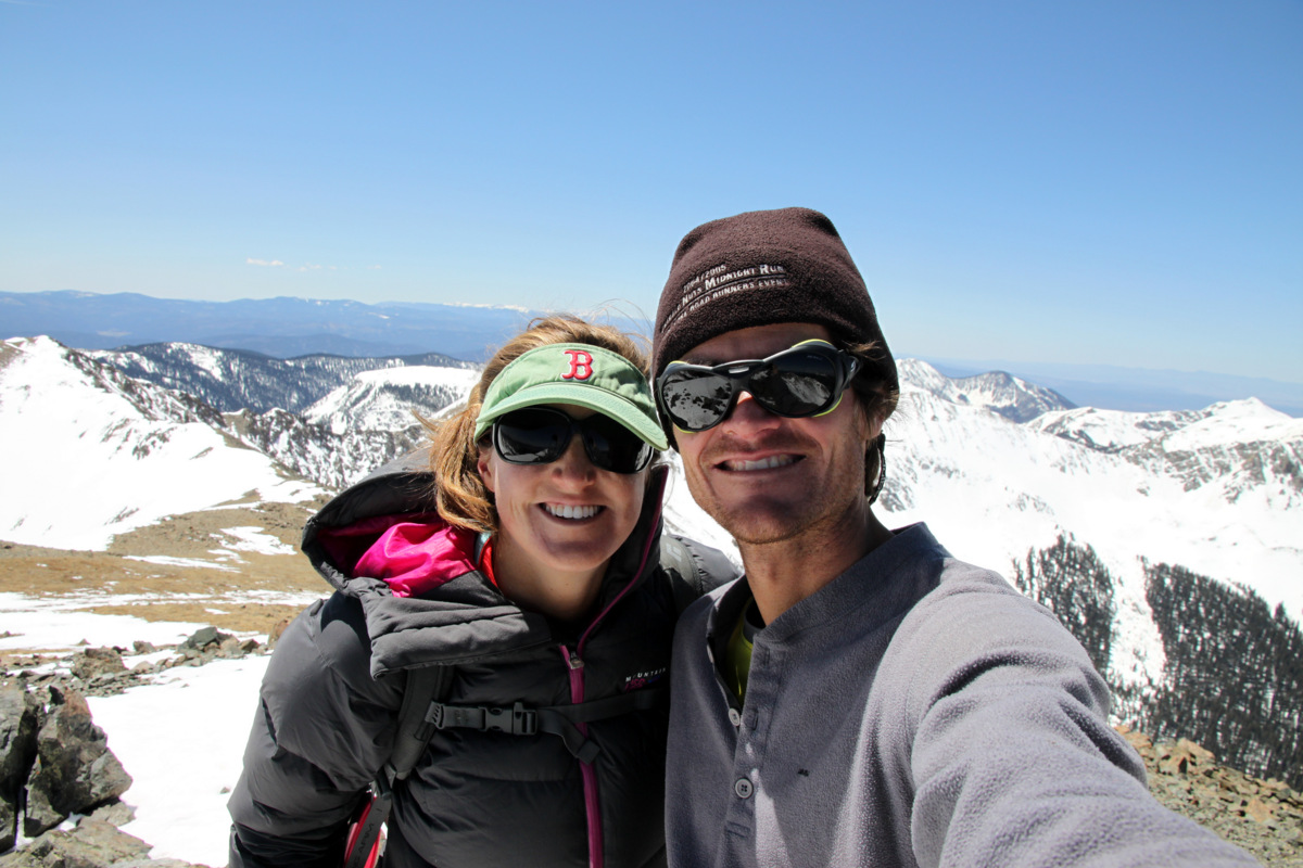
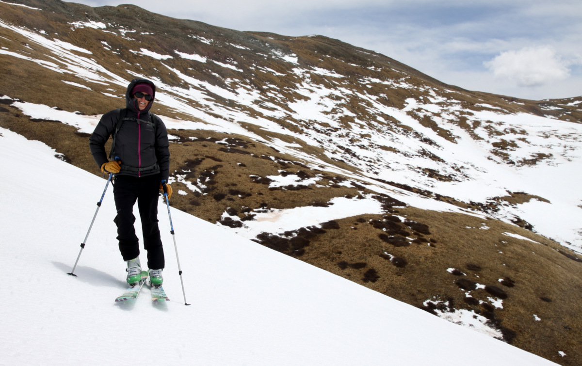
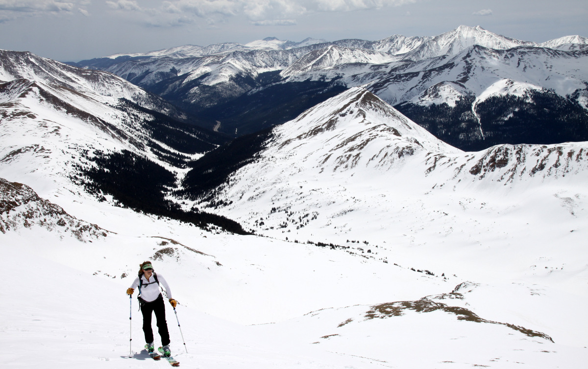
It was a special day not only because it finally felt like spring skiing, but also because Kristine and I were so very pleased and proud of her performance up to 13,553′ being 19 weeks pregnant! Yep, as we’re not ones to send out mass emails announcing our pregnancy and I’m not even on facebook to post everything that goes on in our lives, but we’ve just told people over the past few weeks as we’d normally strike up conversations with friends. However, I guess its about time we put it in writing at least. Baby Chalk is a boy and is due October 12 and we couldn’t be more excited! Despite being a bit more tired and winded than normal and the fact that she is carrying another human being, Kristine has been doing superb in the hills. We’ve figured out a good night’s sleep the night before is more key to a better day in the mountains than anything for her during this pregnancy. So, Kristine would want me to say that when you see her in these pictures please do not think she is just getting fat. She is pregnant.
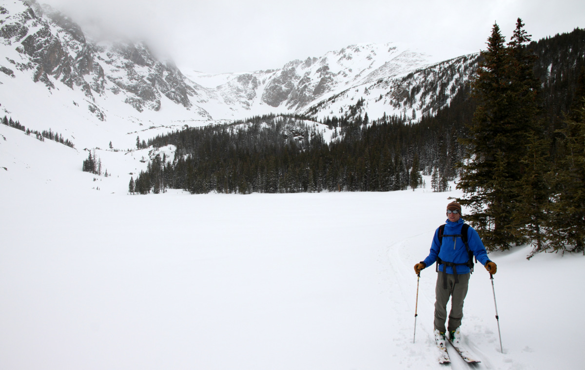
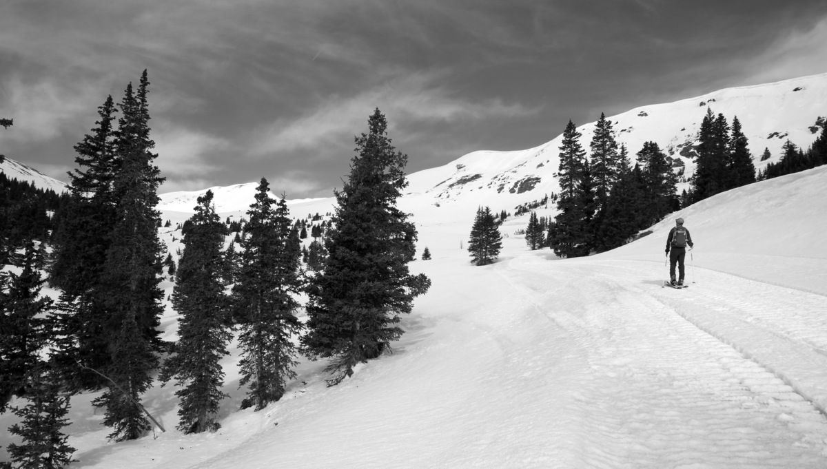
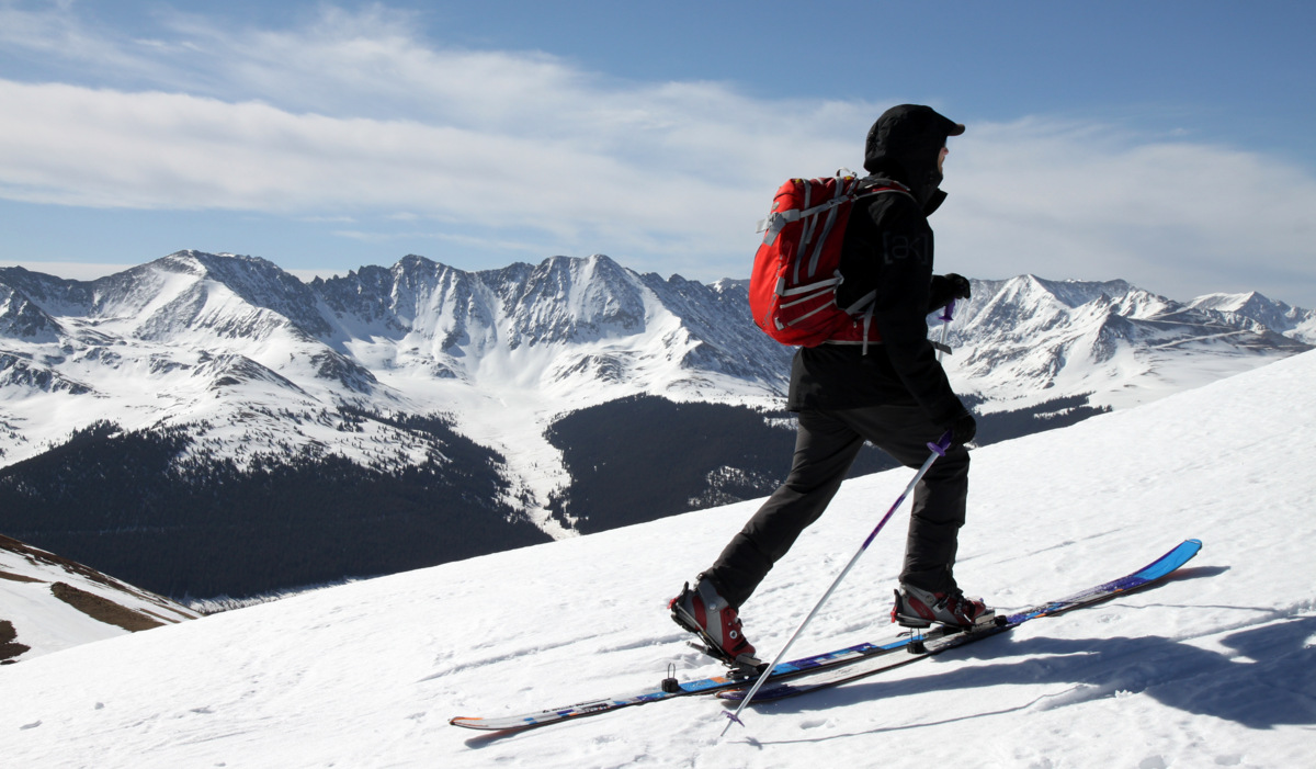
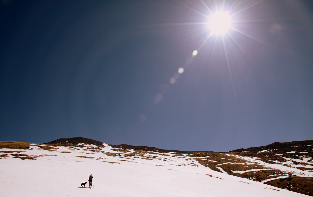
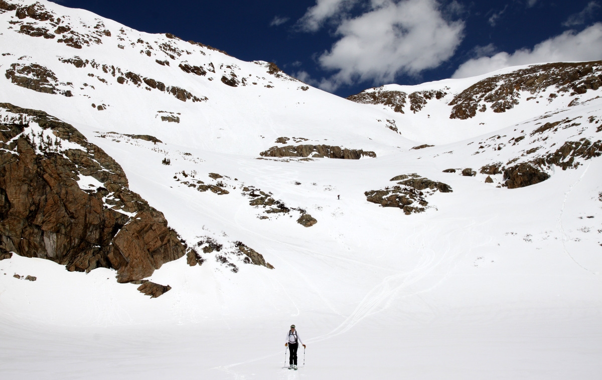
Kristine skinning up to Herman Lake with Herman Gulch behind her
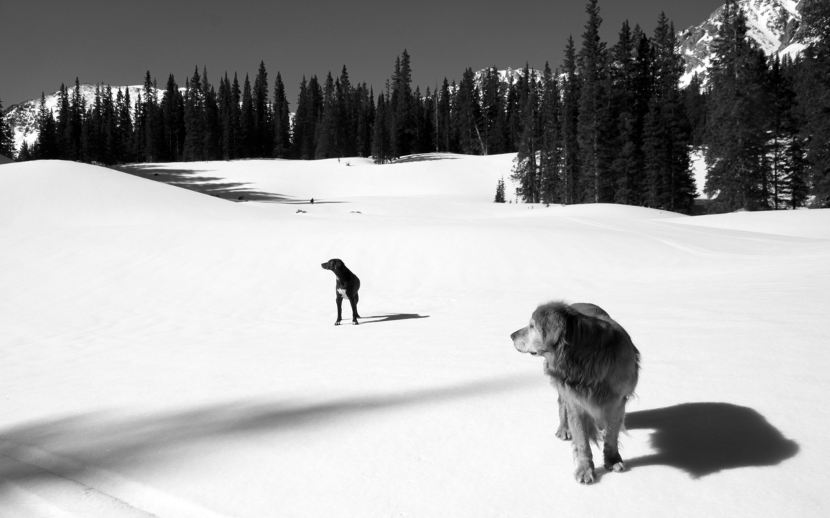
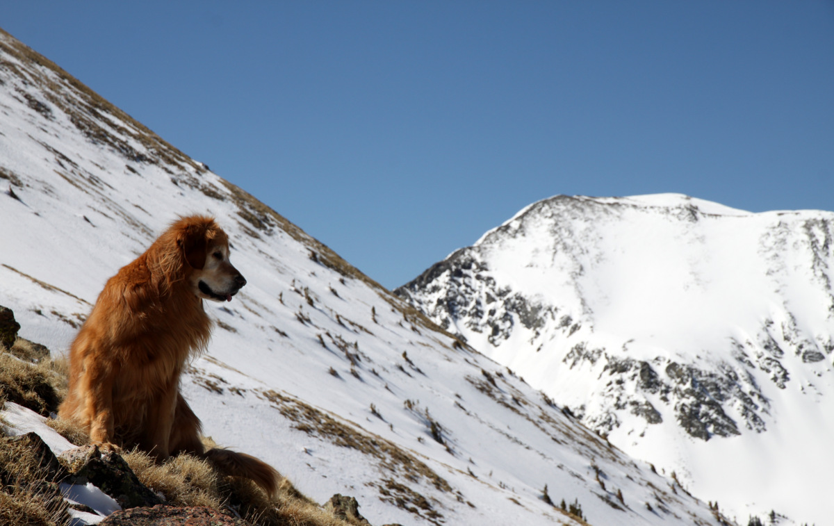
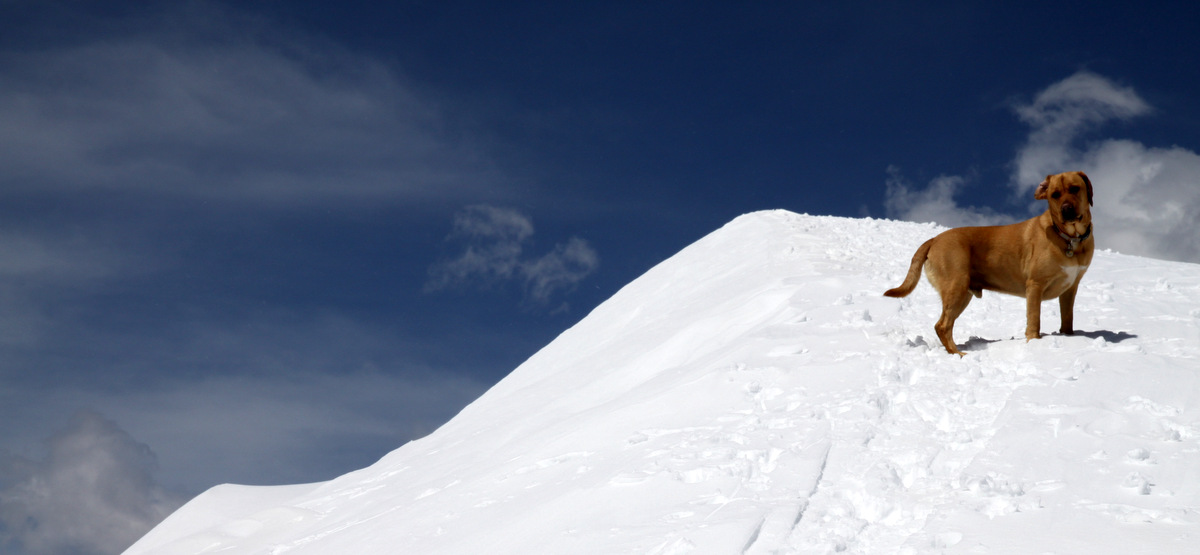
Kona and the southeast face of Pettingell

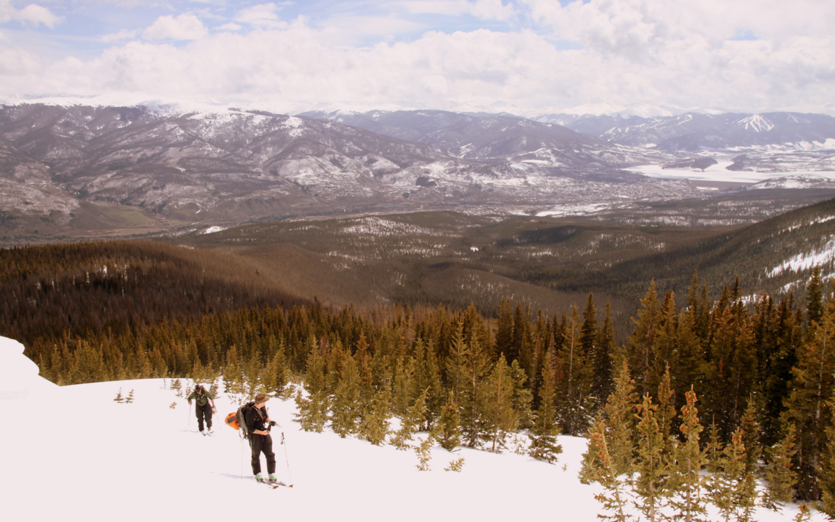
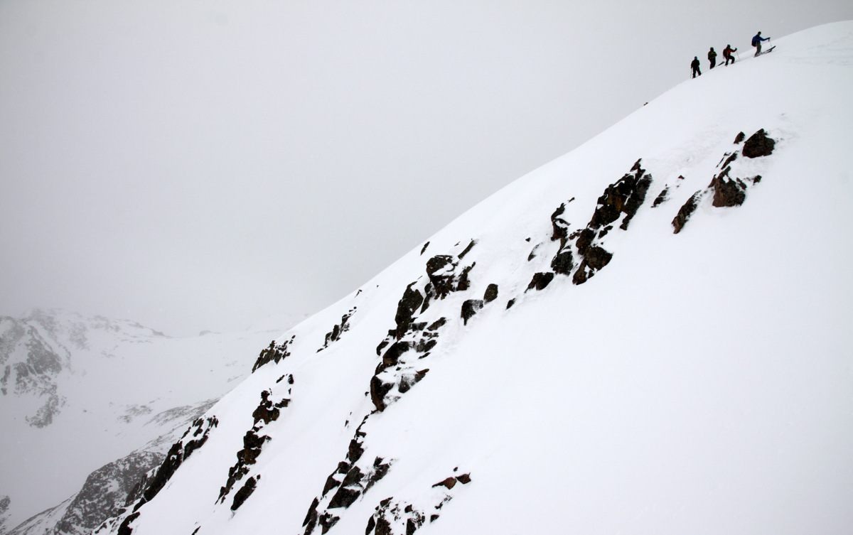
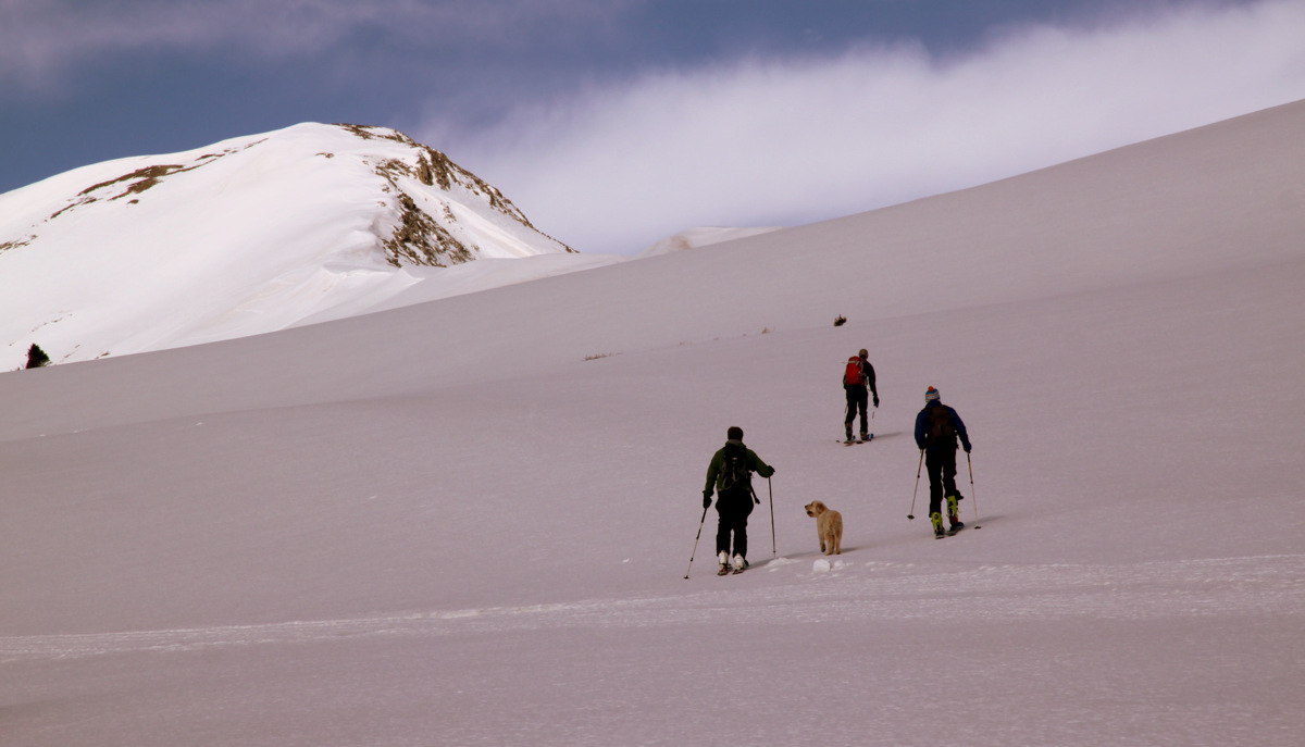
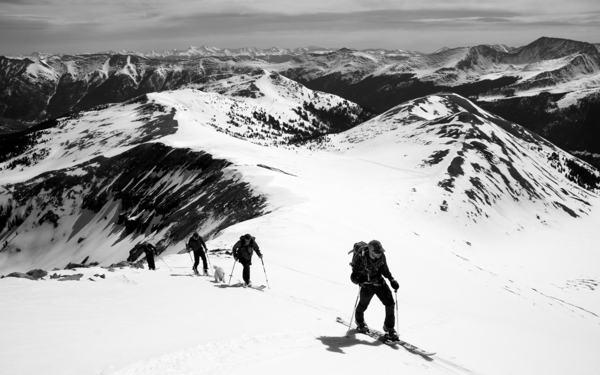
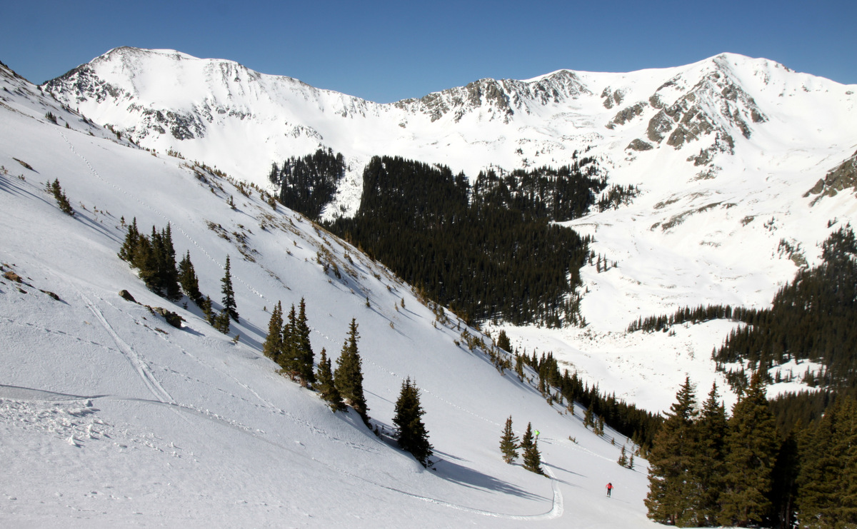
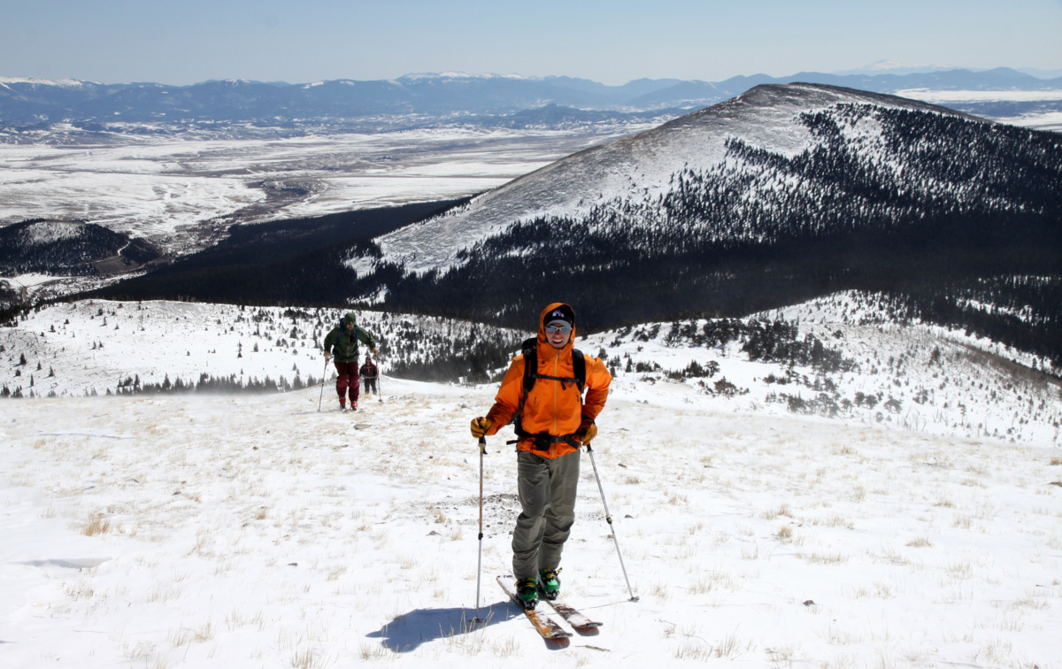
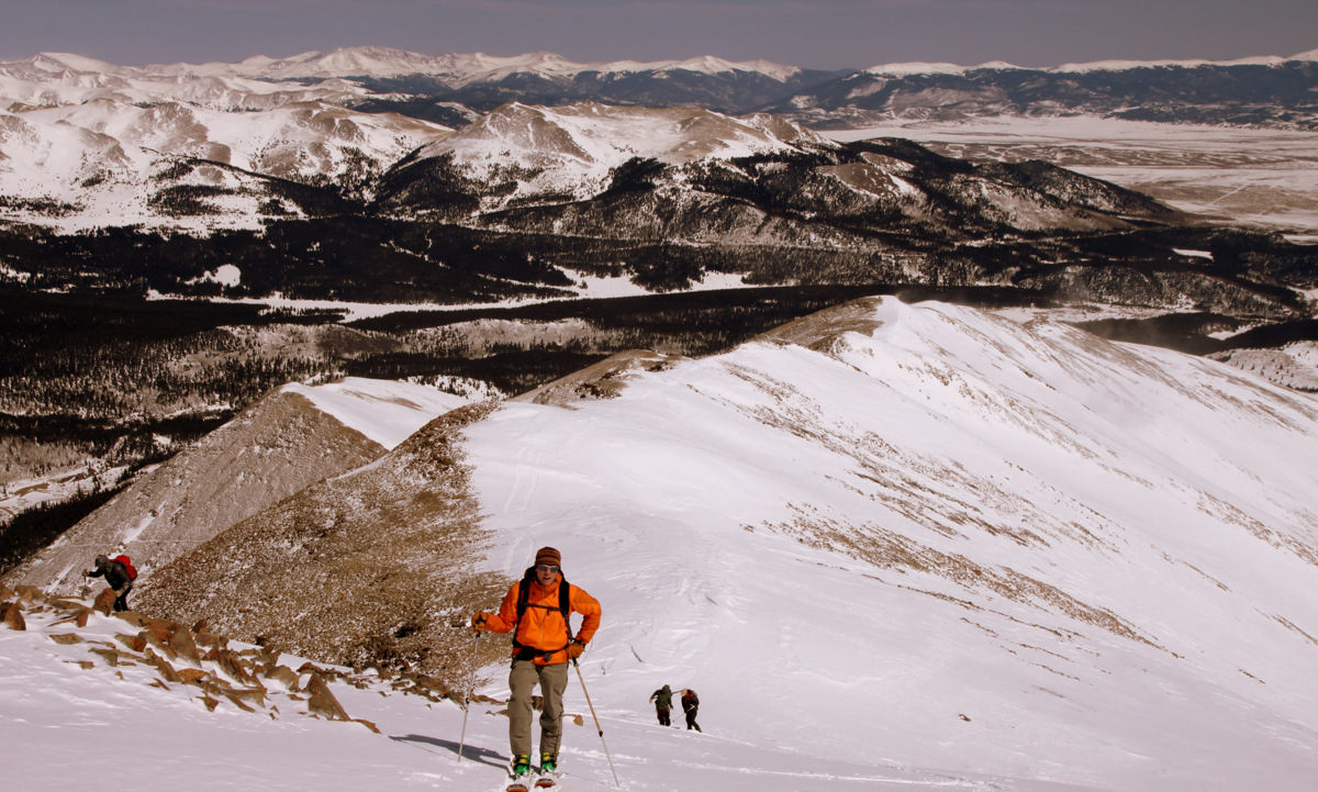
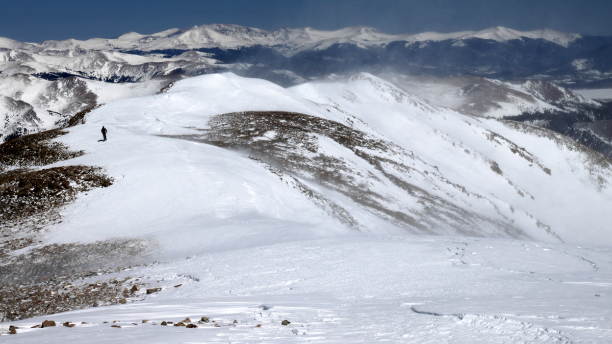
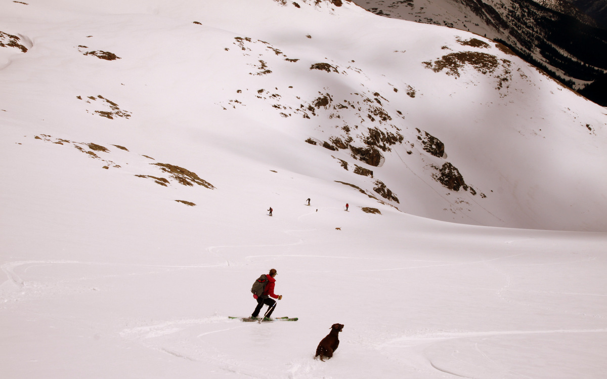
The crew skinning up to Herman Lake, which drops a few hundred feet beyond the next rise
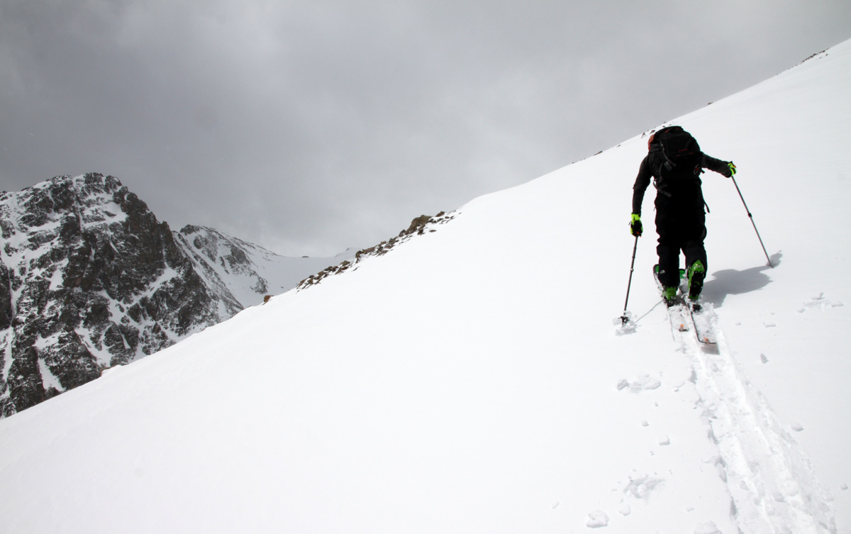
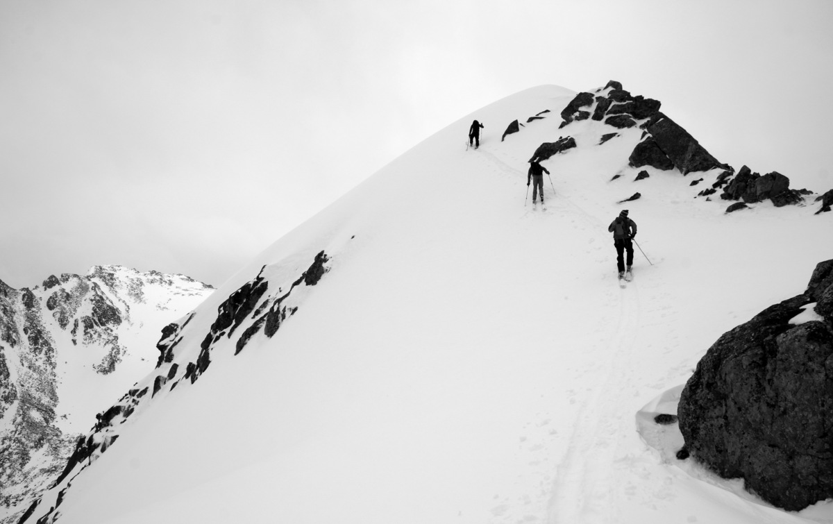
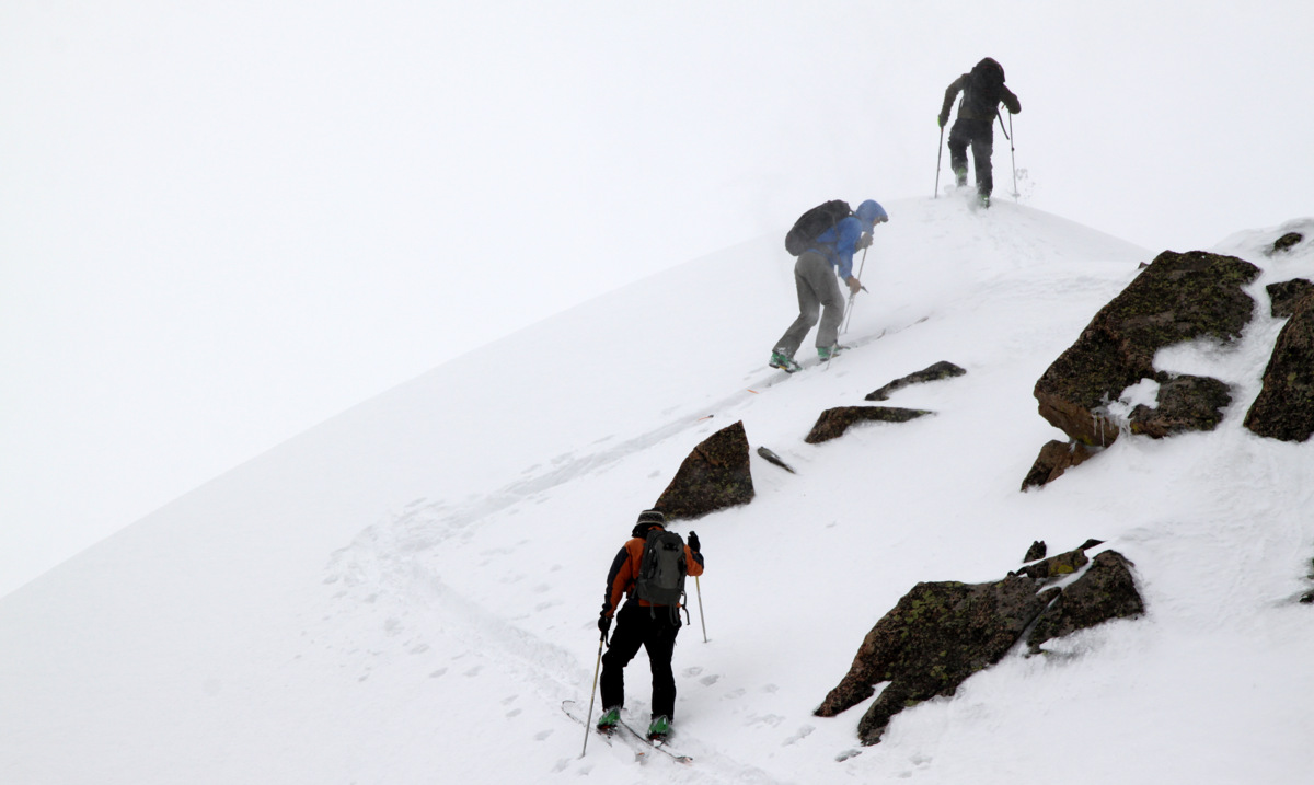
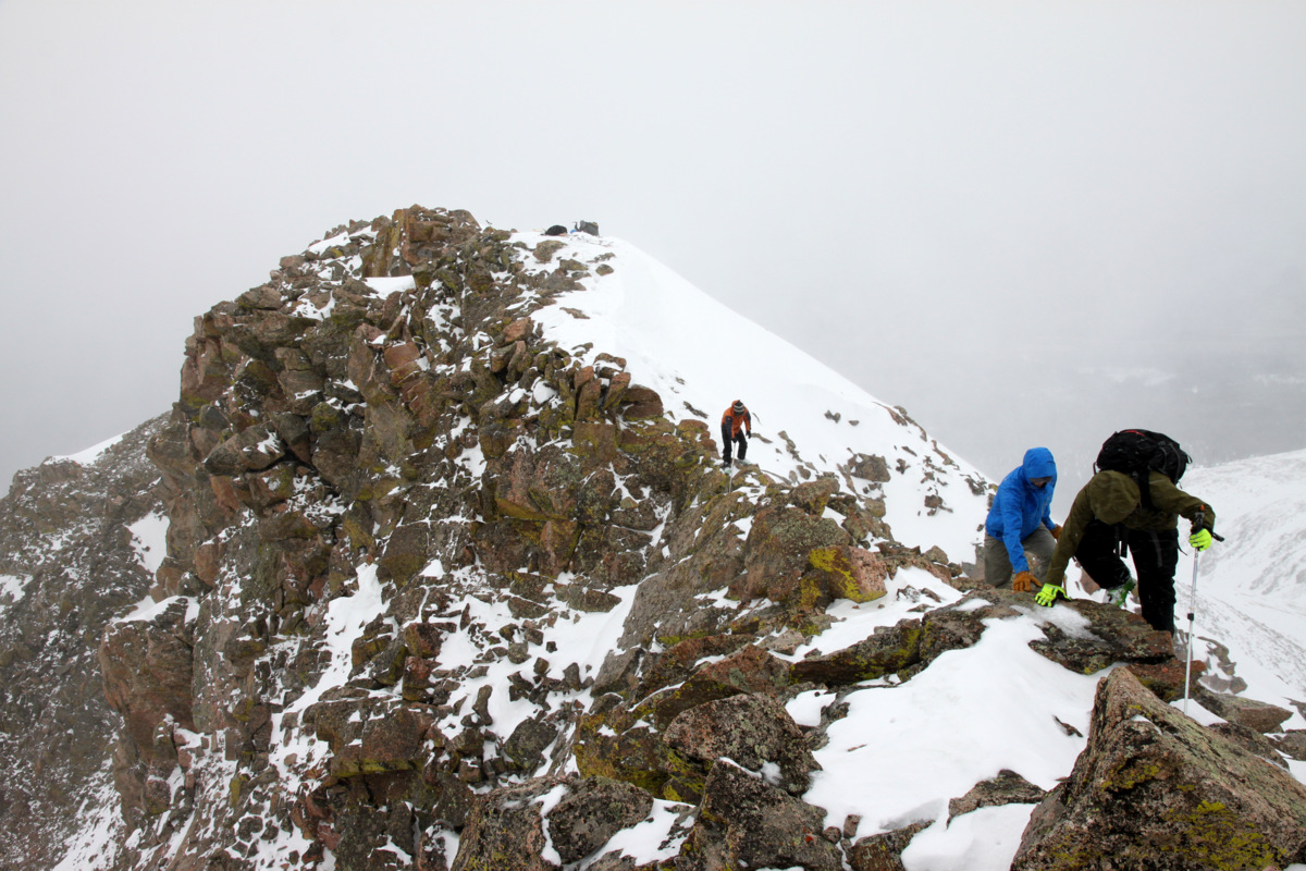
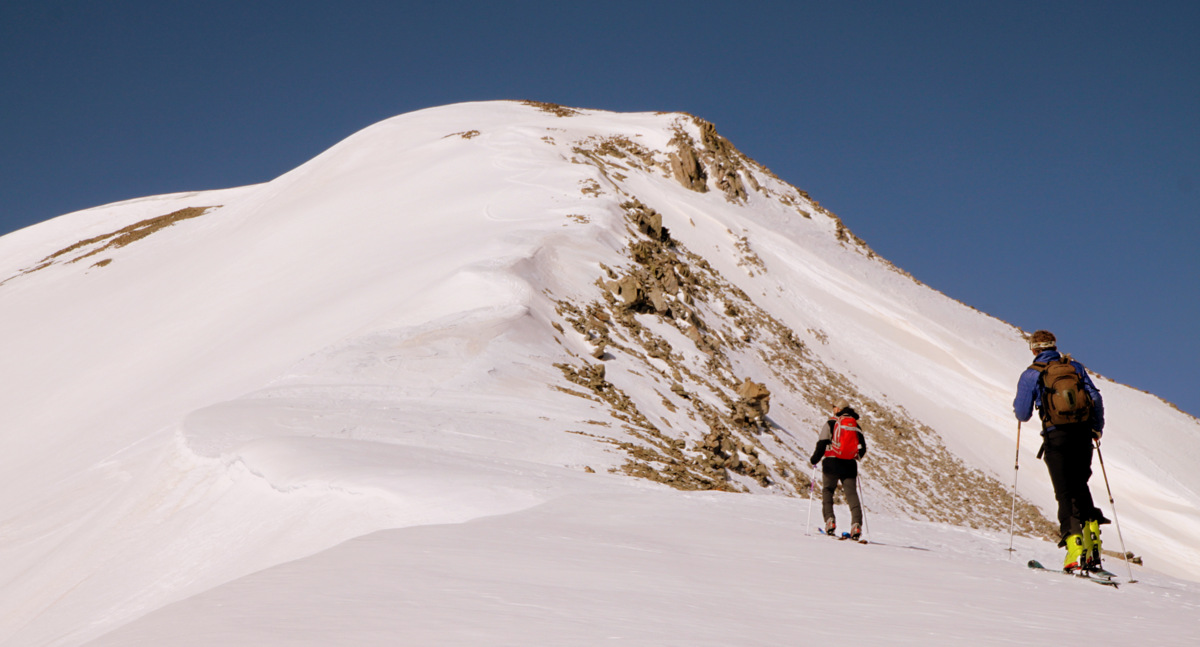
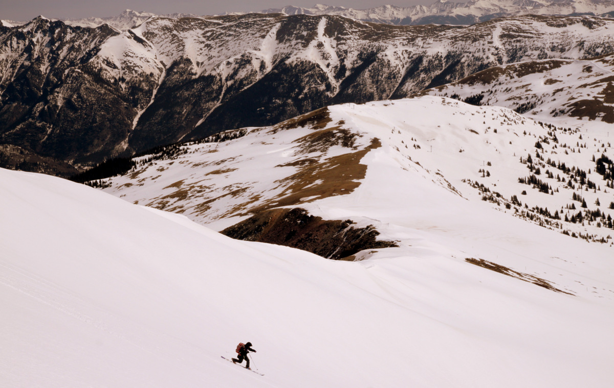
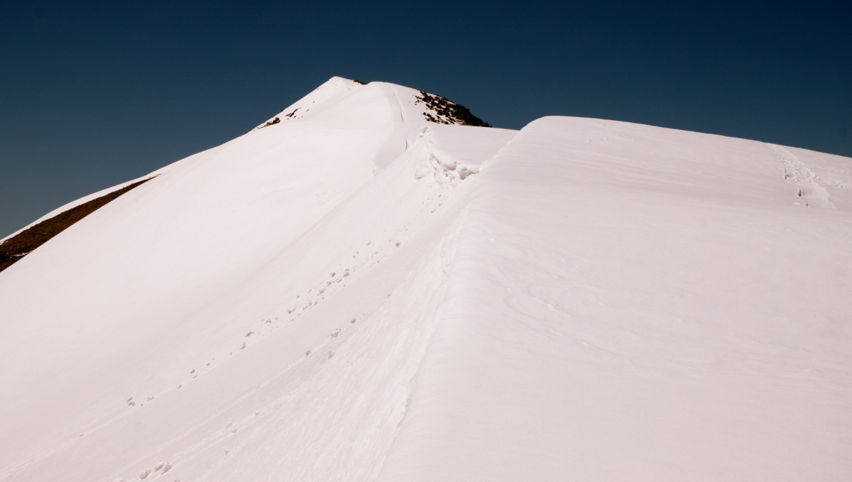
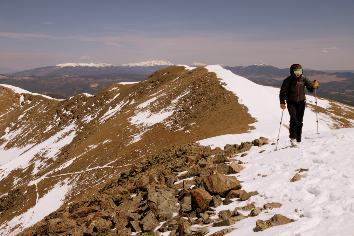
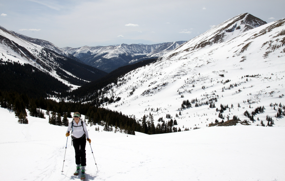
Anyway, we made our way up to the frozen and snow-covered Herman Lake at around 12,000′ and put together our remaining route up the southeast flanks of Pettingell. We were able to lay a zig-zag skin track up a steeper chute right above the lake and then it was mellow skinning up and up to about 300′ below the summit ridge. We then again set a zig-zag skin track to the ridge from where it was only 50 yards to the summit.

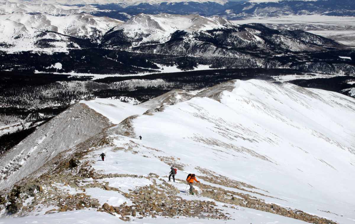
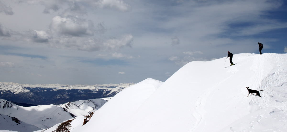
Gus observing Shawn, Mike, & Kristine below skinning up to the ridge

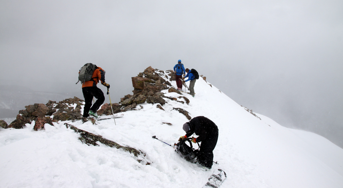
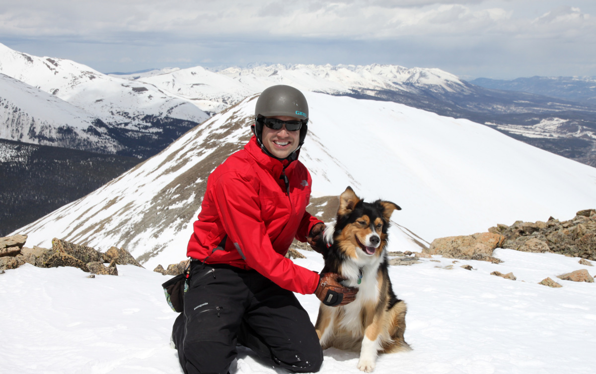
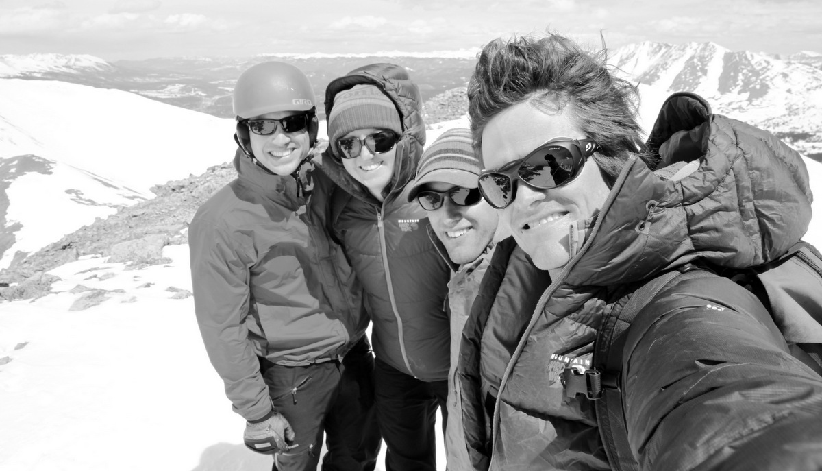
Shawn & Fitzy on the summit ridge
The Gus Dog
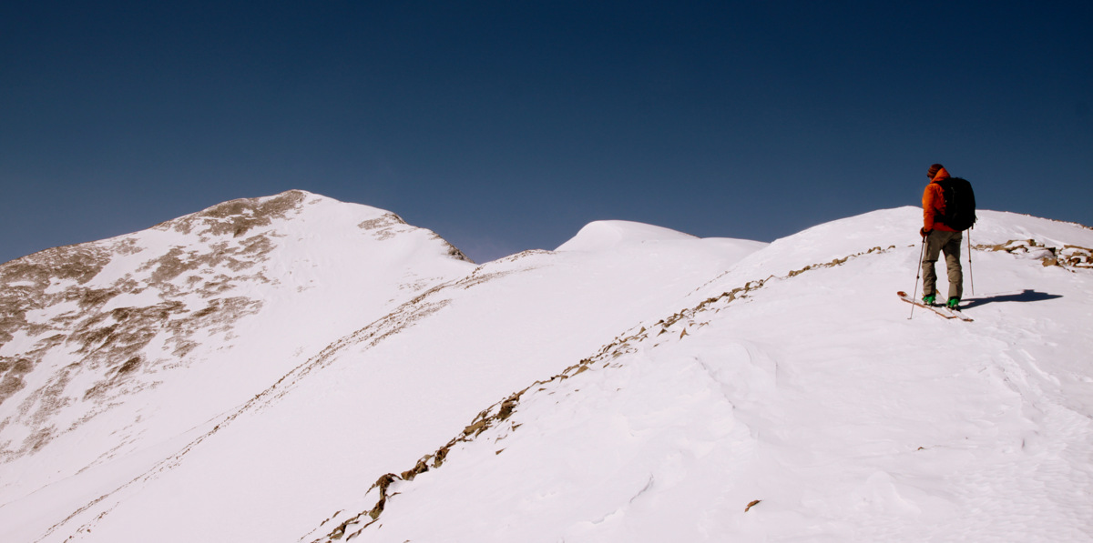
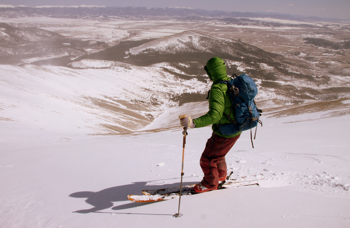
Kristine on the summit ridge
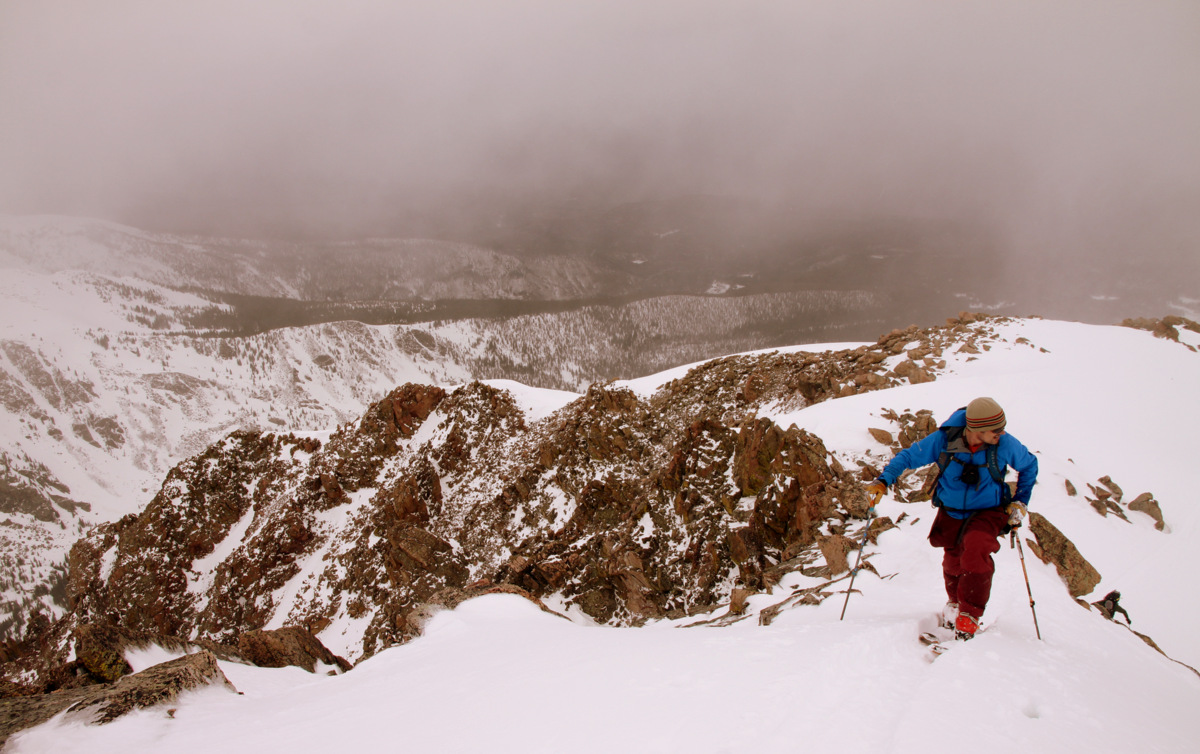
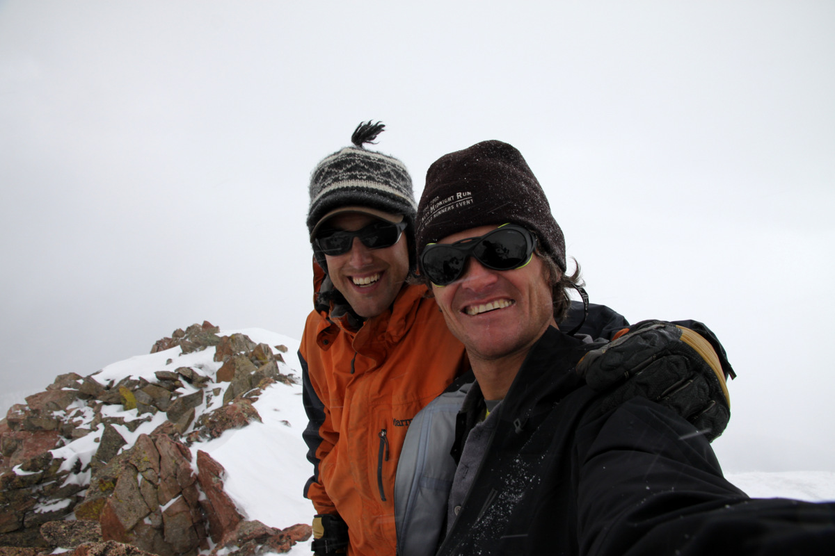
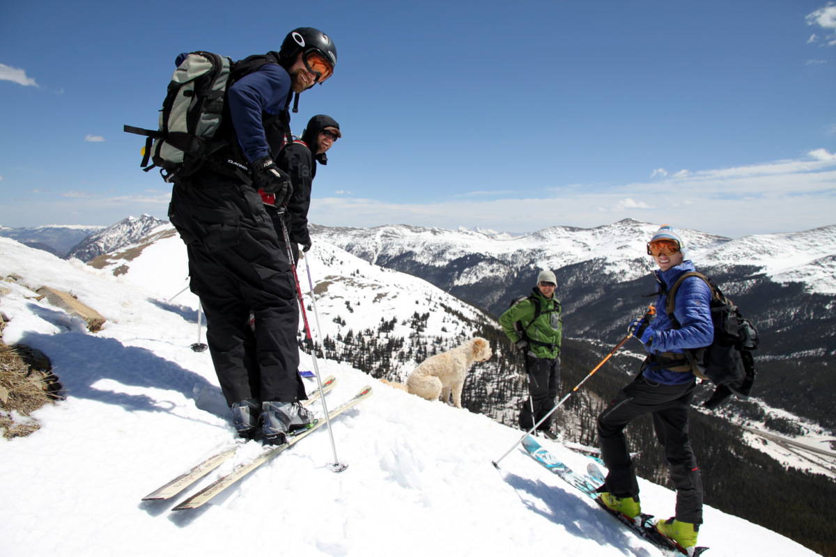
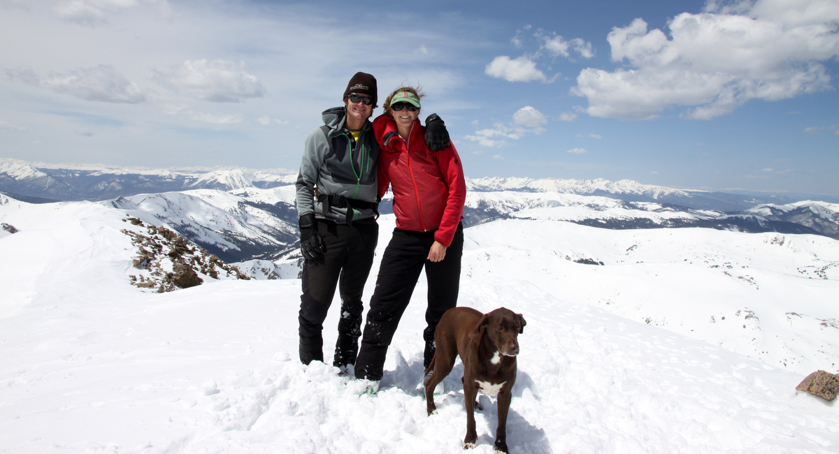
A nice fellow named Rob from Boulder was on the summit when we reached it as he had taken the more normal path to the summit via the west ridge. It was a bit windy on the summit but overall very nice.
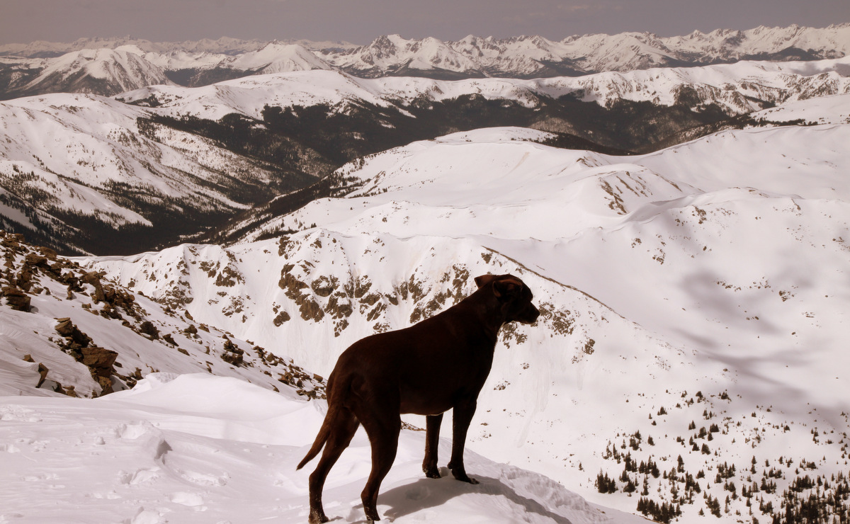
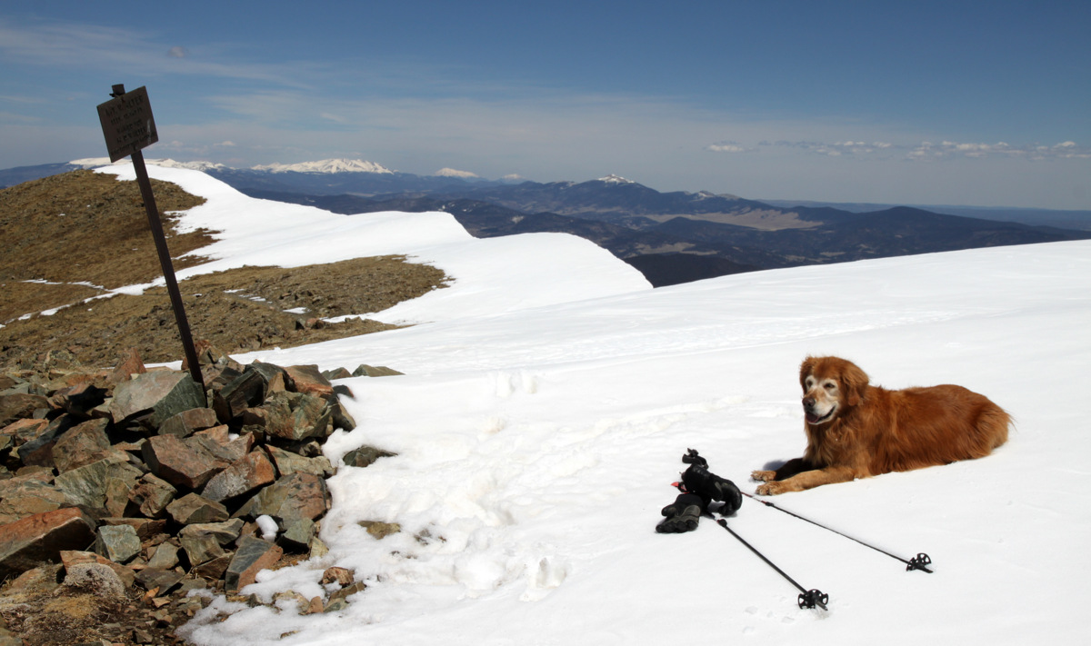
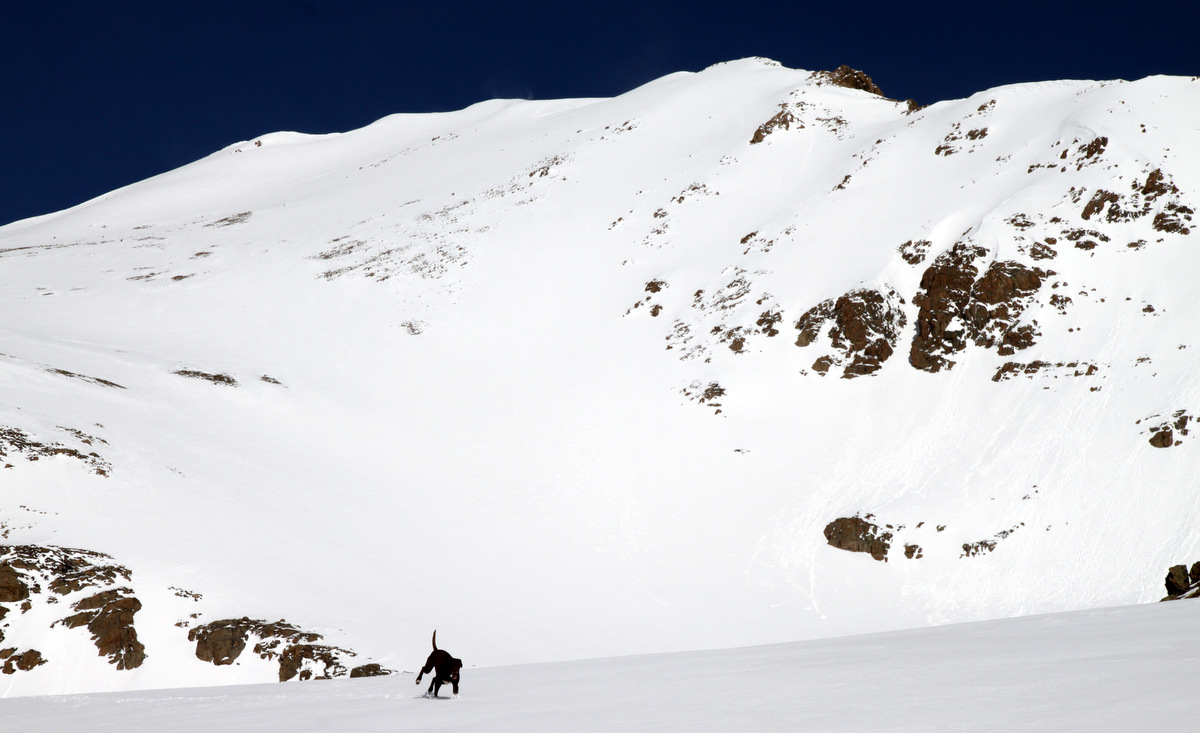
Kona peering down Pettingell’s north side
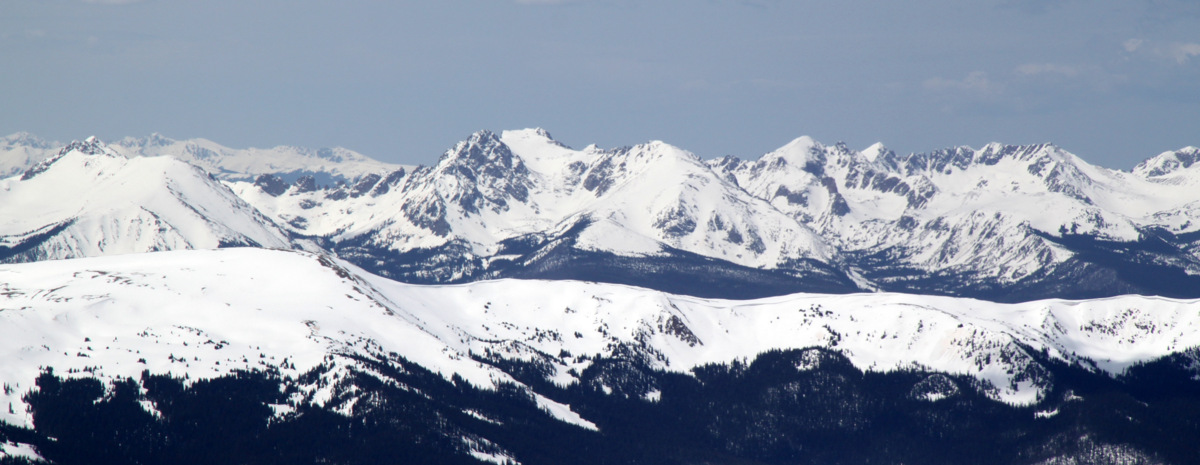
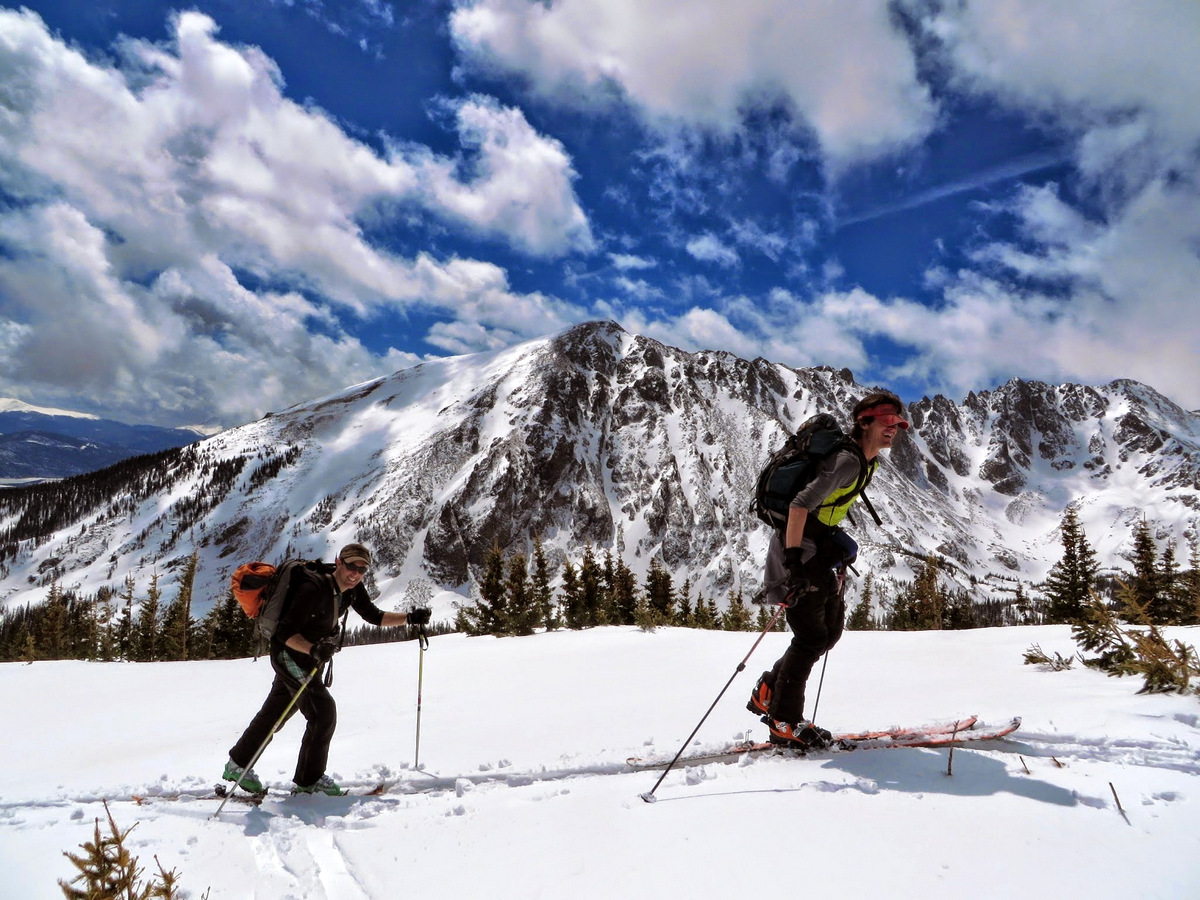
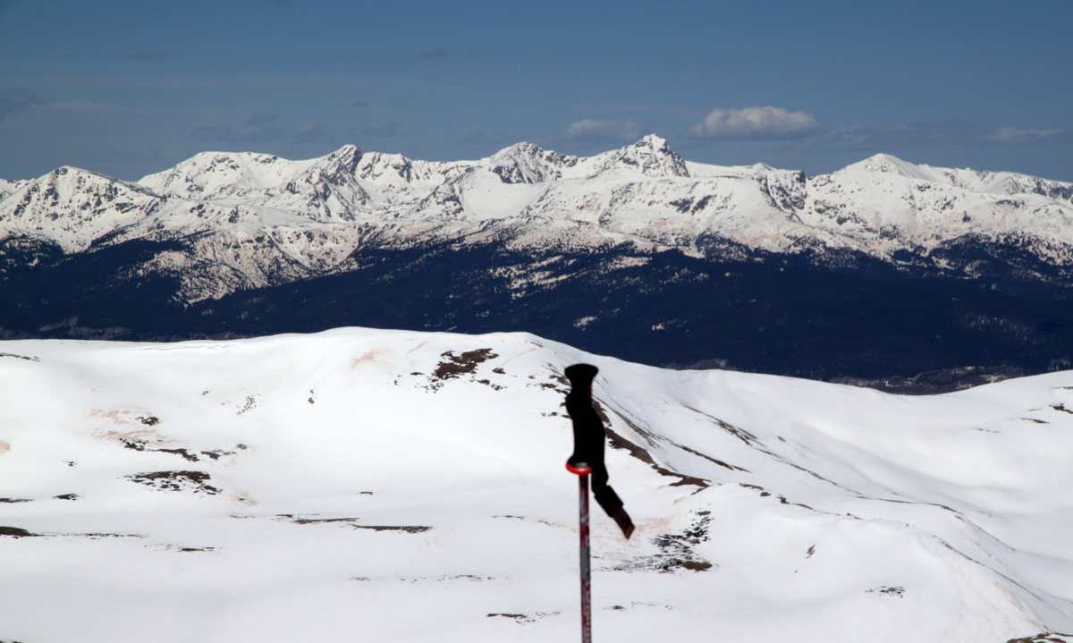
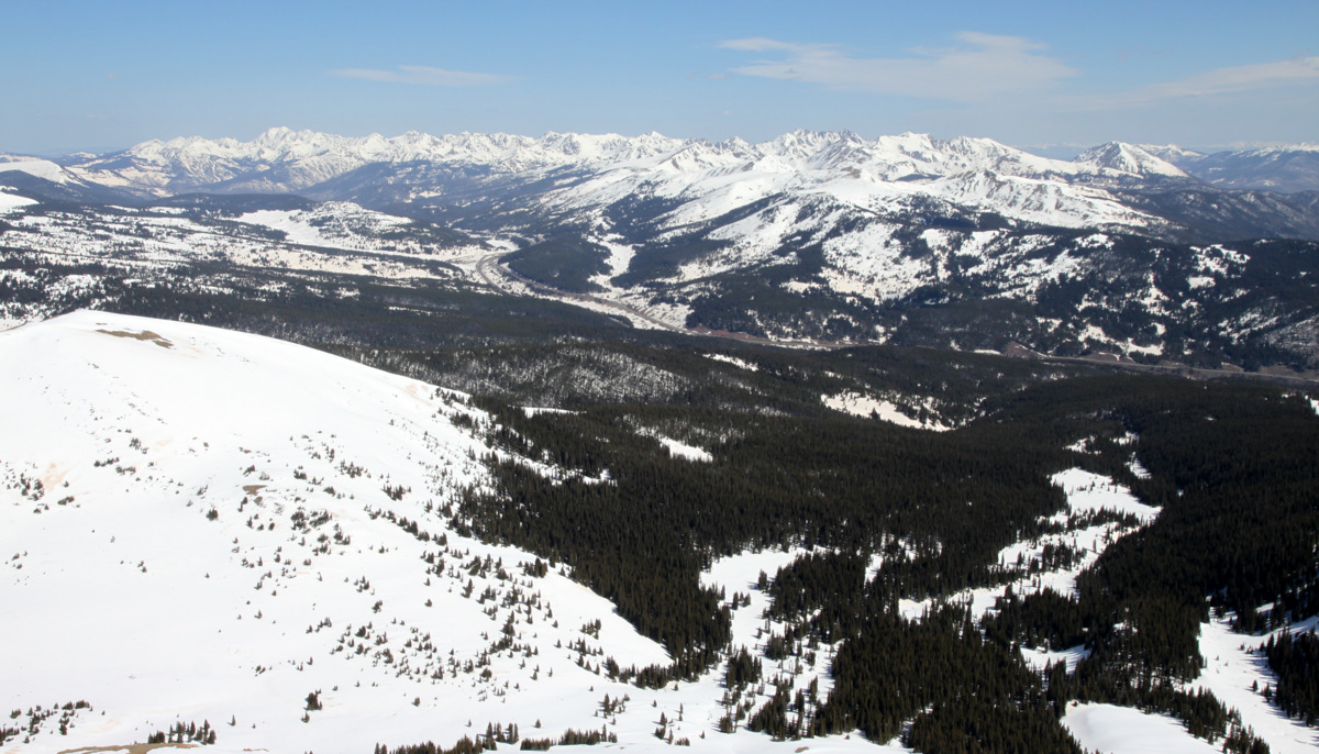
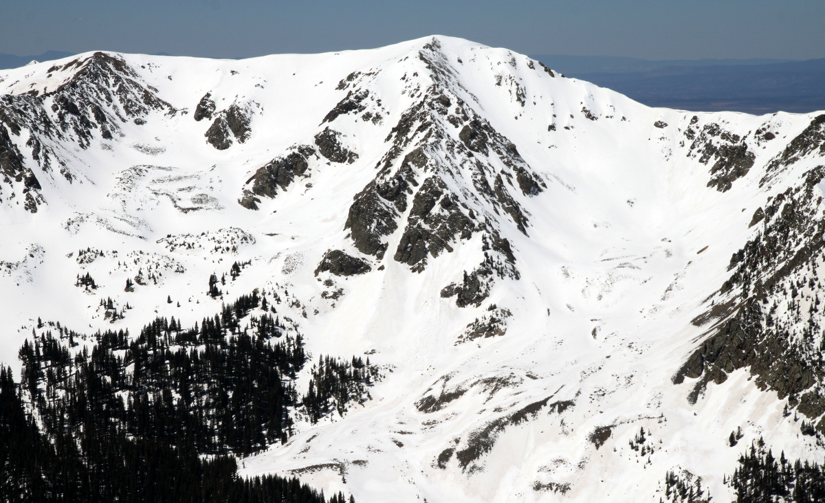
The Silverthorne Massif in the Gores (center of photo). Left to right: East Thorn, Mt. Silverthorne, & Rain Peak, which we skied the weekend before. Zodiac Ridge can be seen to looker’s left of East Thorn as well as Mt. Valhalla’s two awesome east ridges to looker’s right of Rain Peak
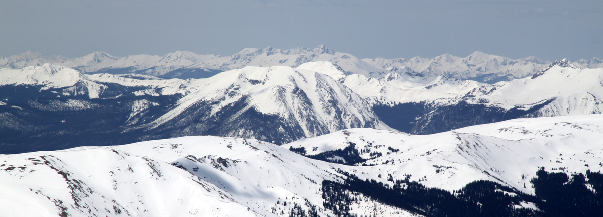
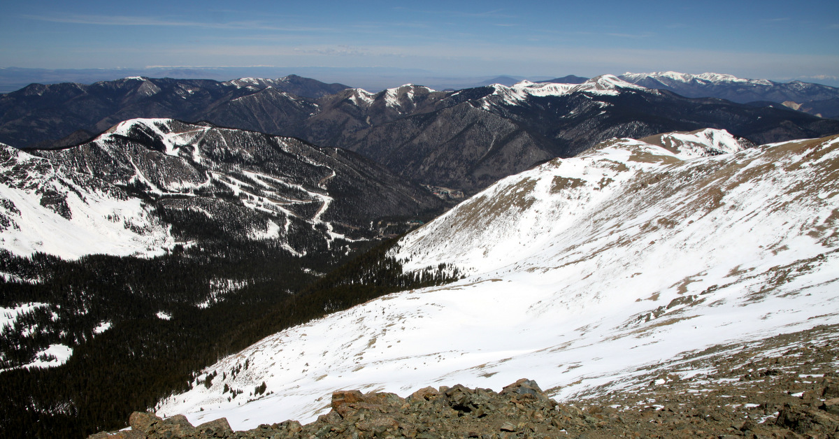
Buffalo Mountain and its northern Silver Couloir looking very “in”. Mt. of the Holy Cross in the far distance
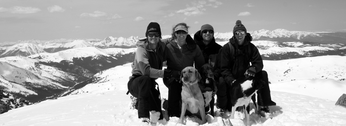
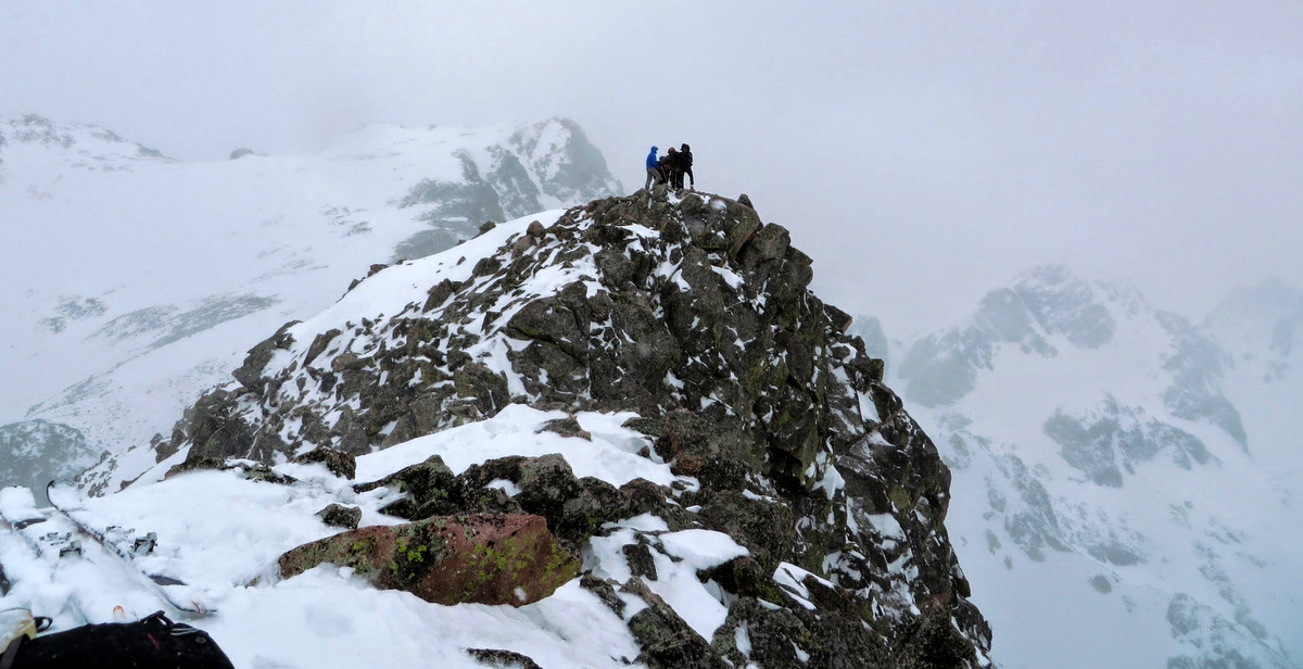
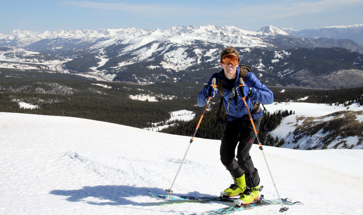
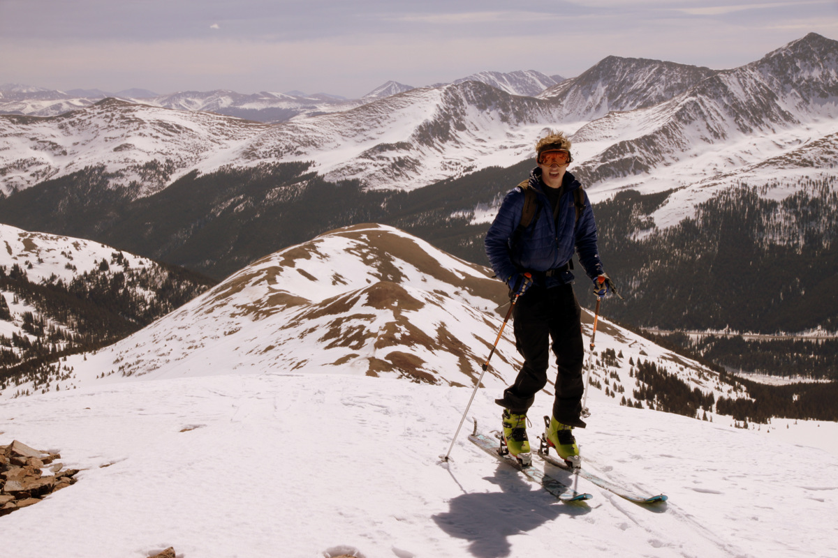
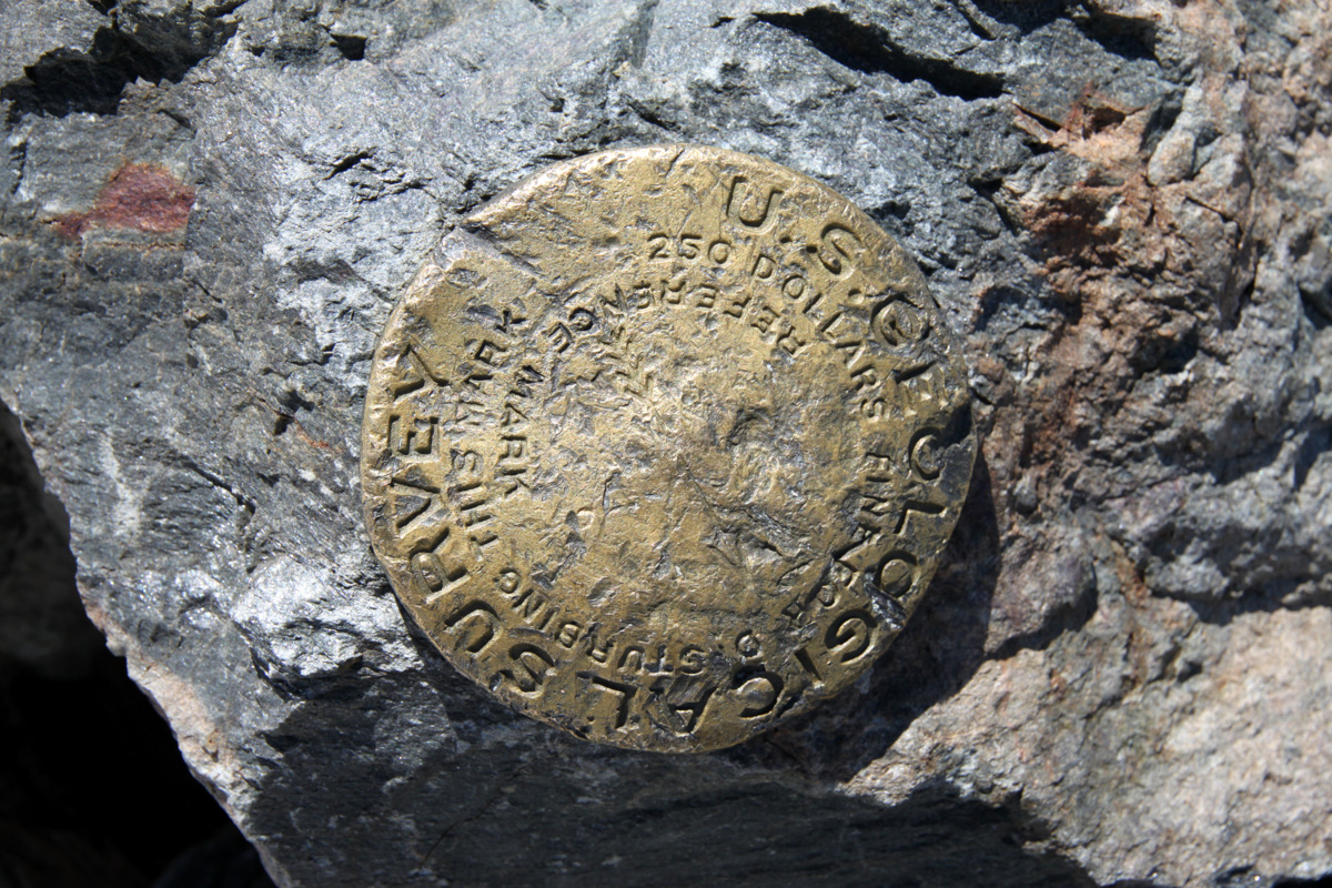
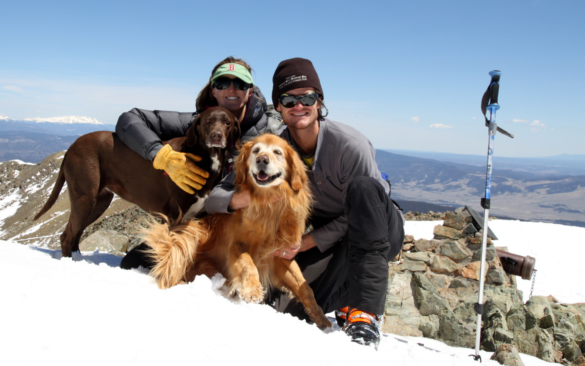
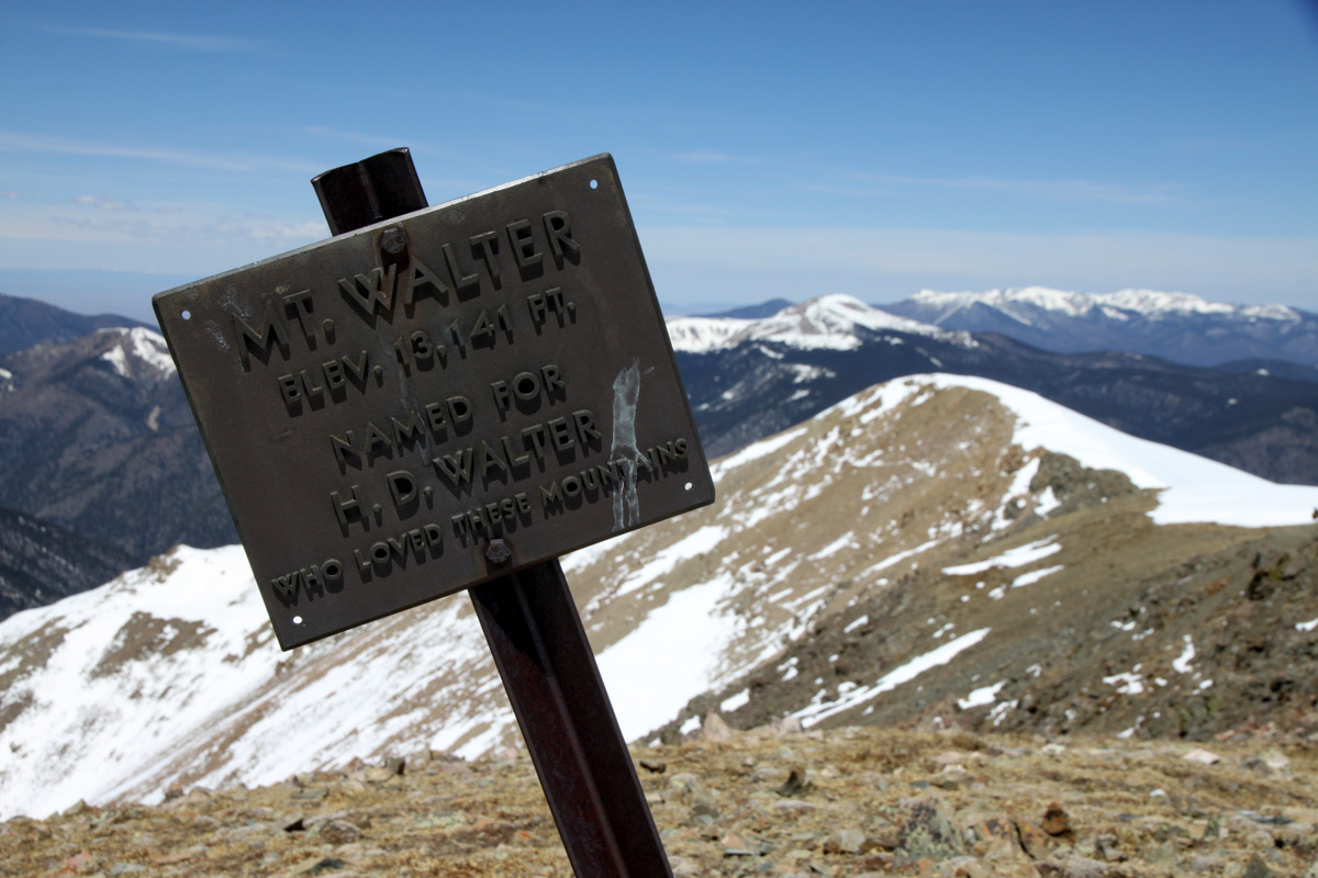
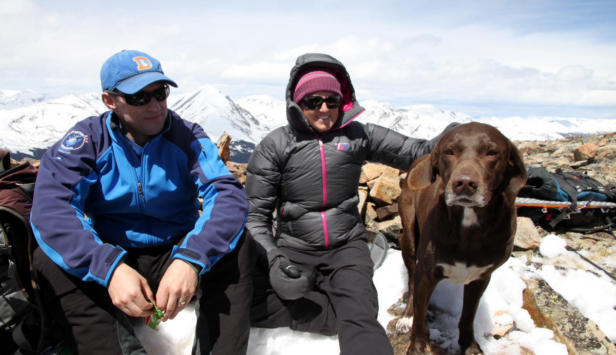
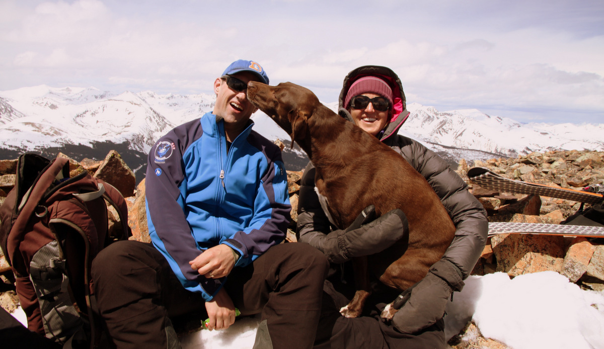
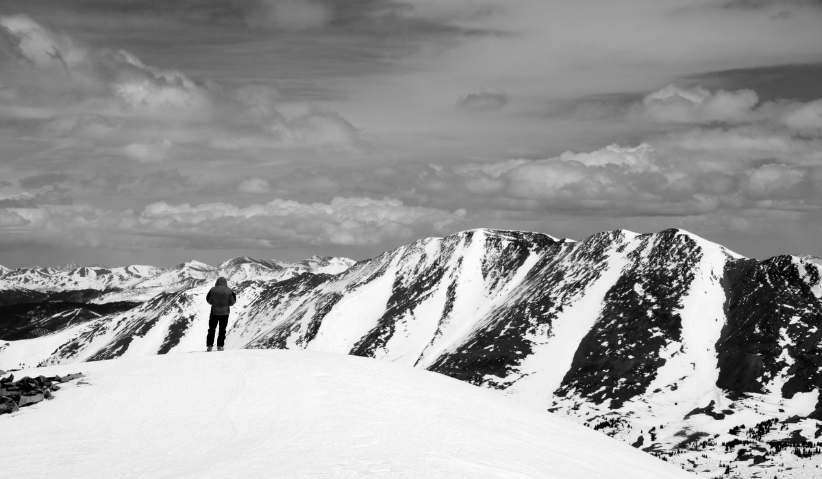
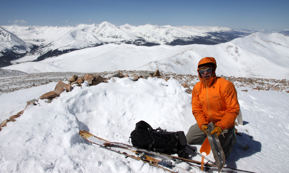
Pettingell Peak summit (13,553′)
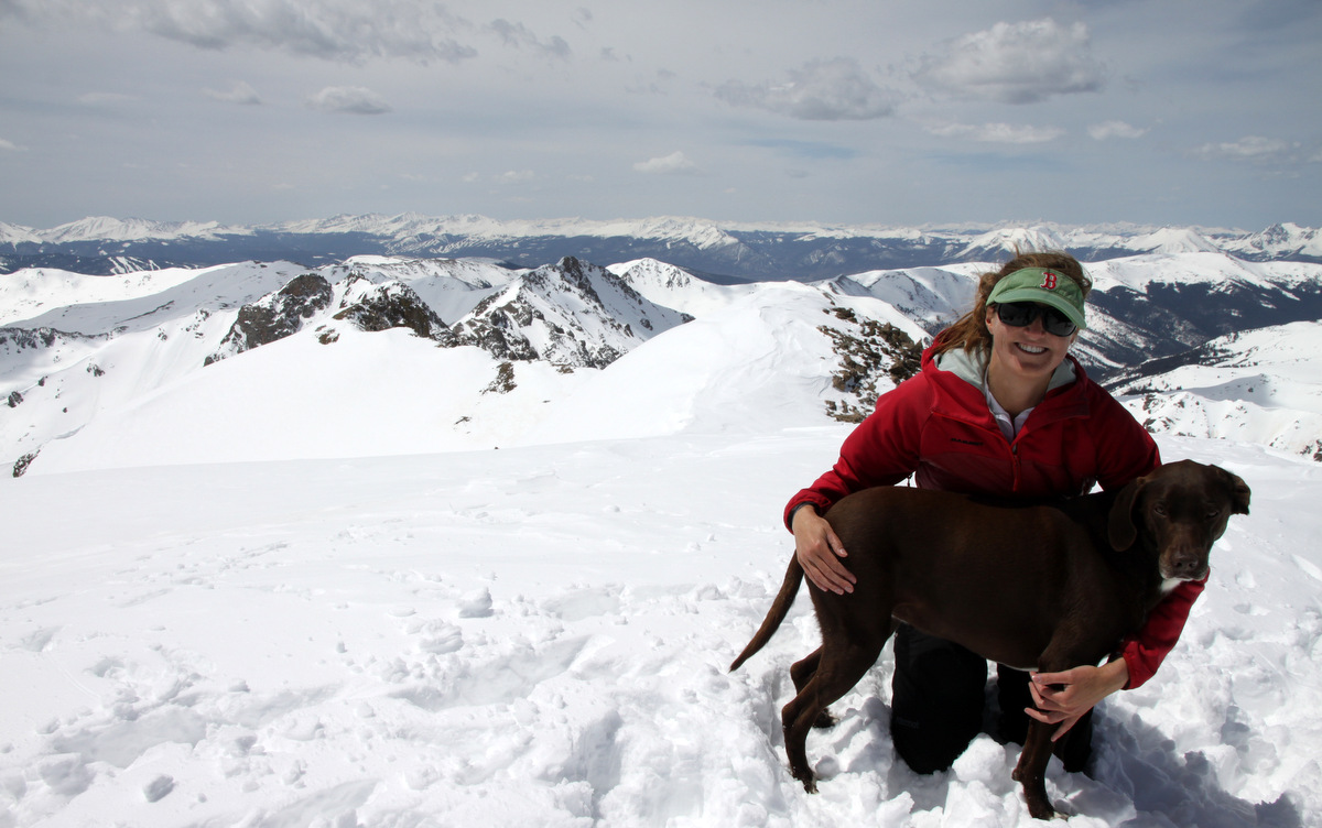
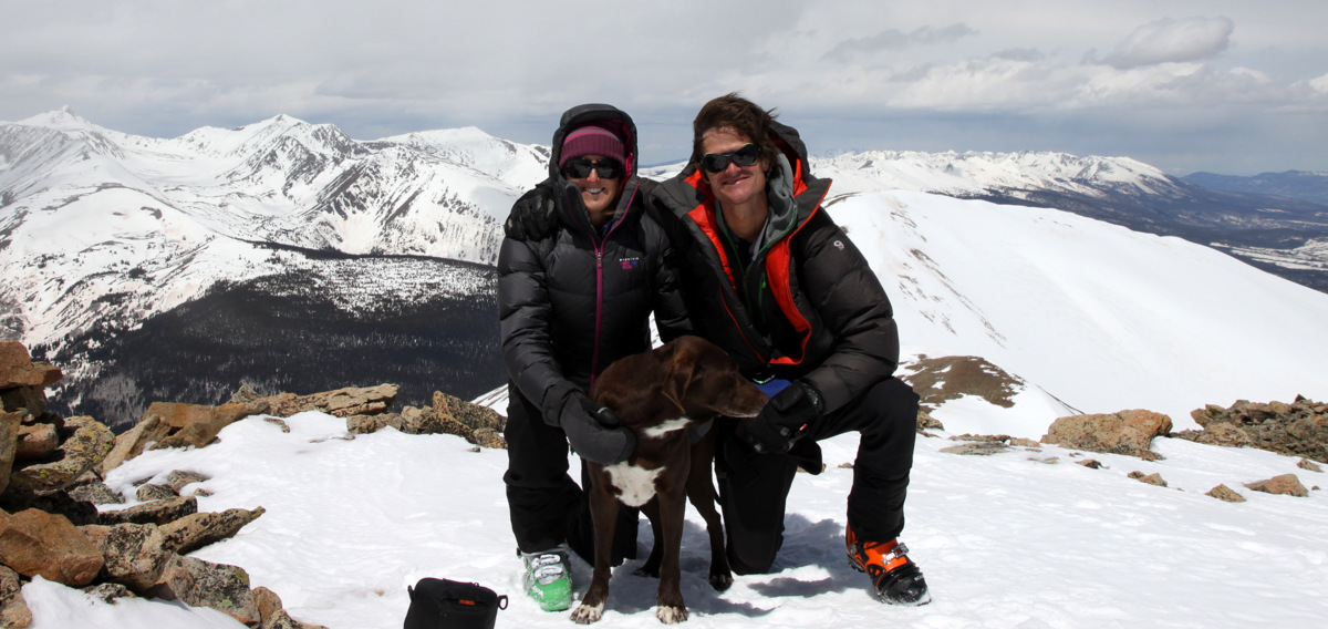
Kristine & Kona on top
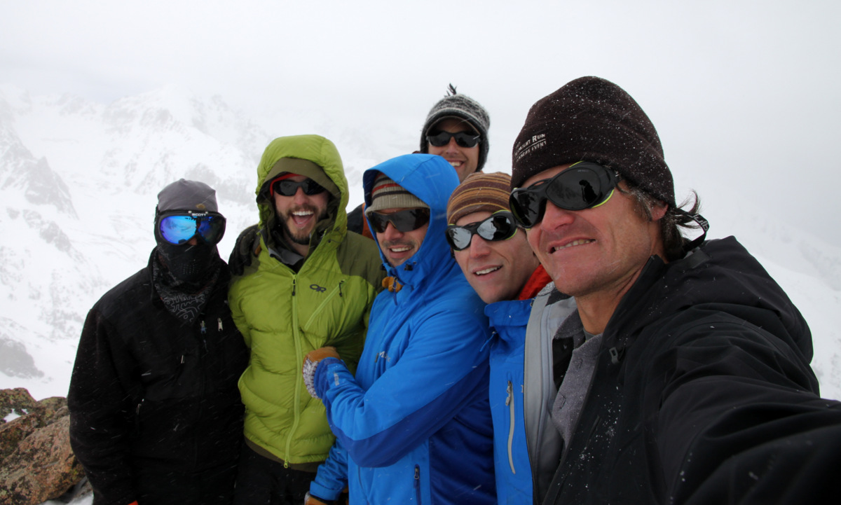
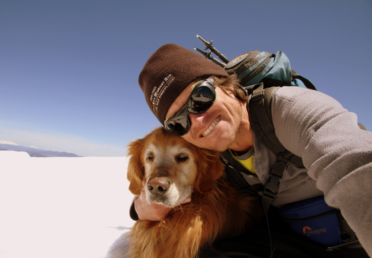
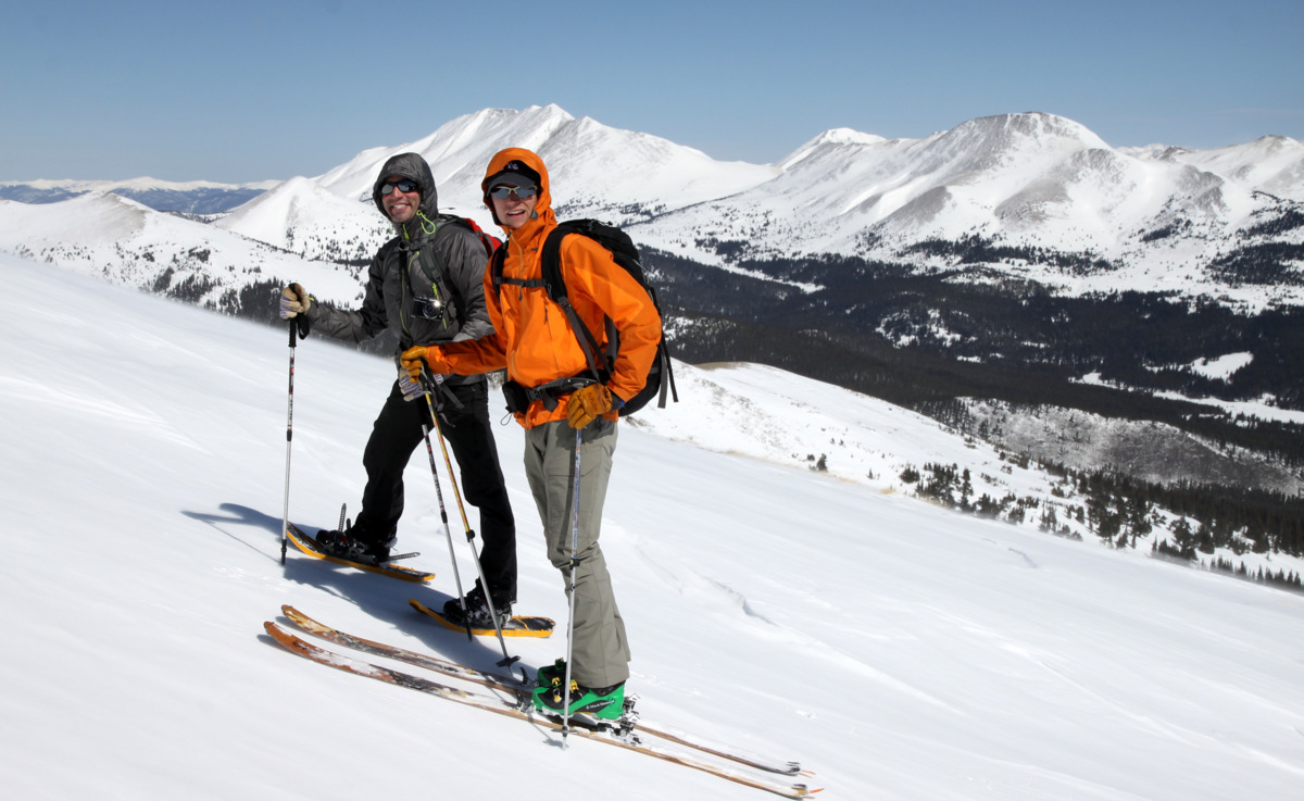
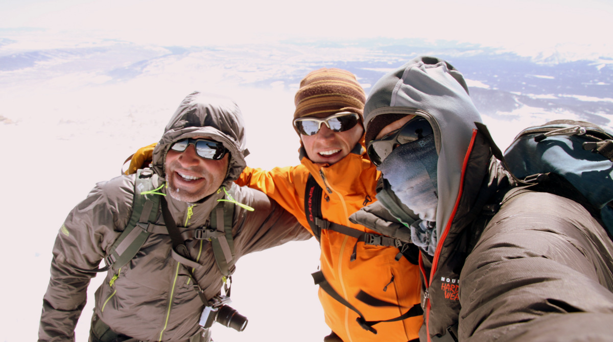
The Chalks (minus a Rainier) on Pettingell’s summit
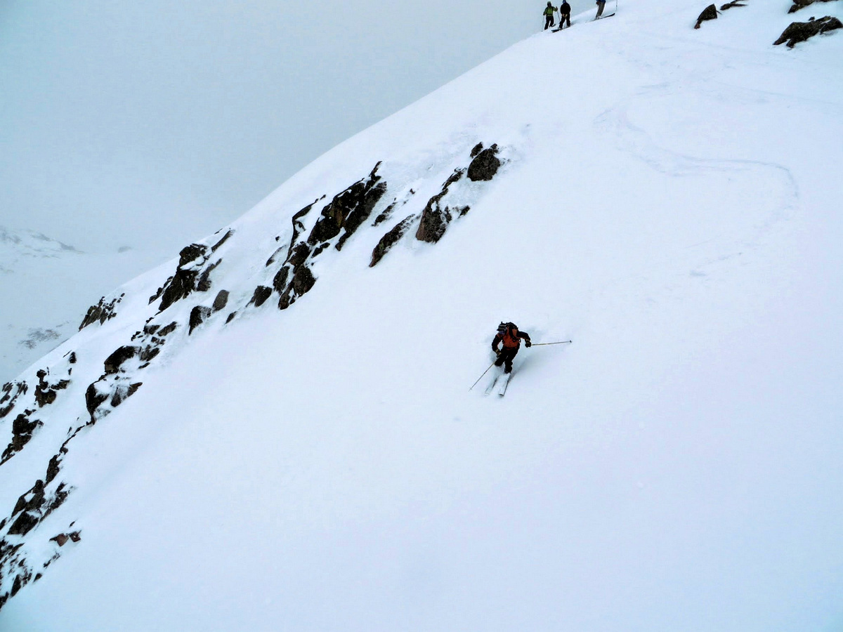
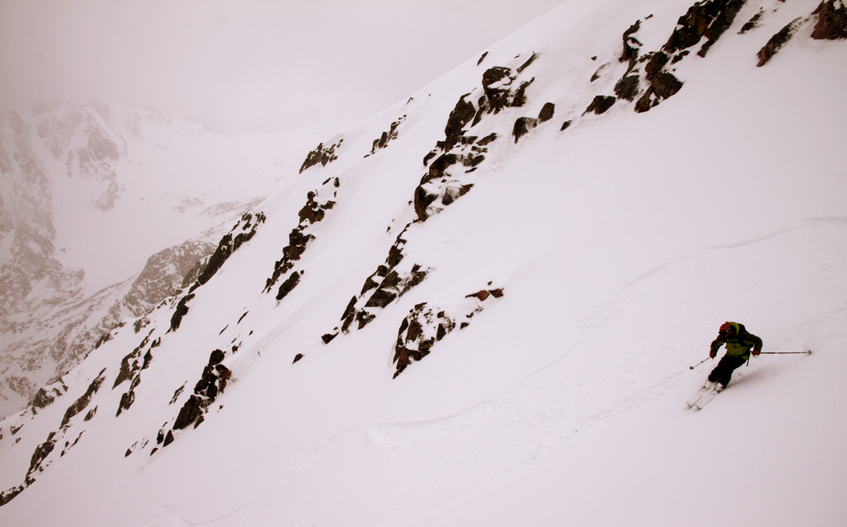
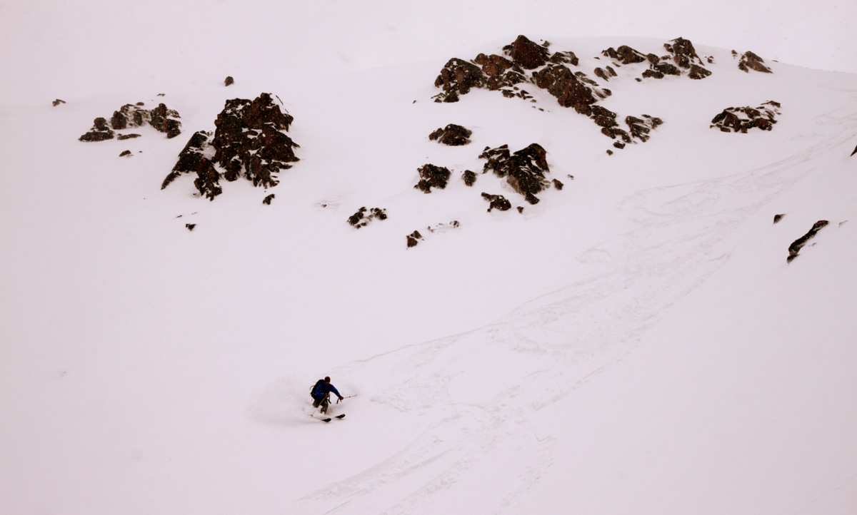
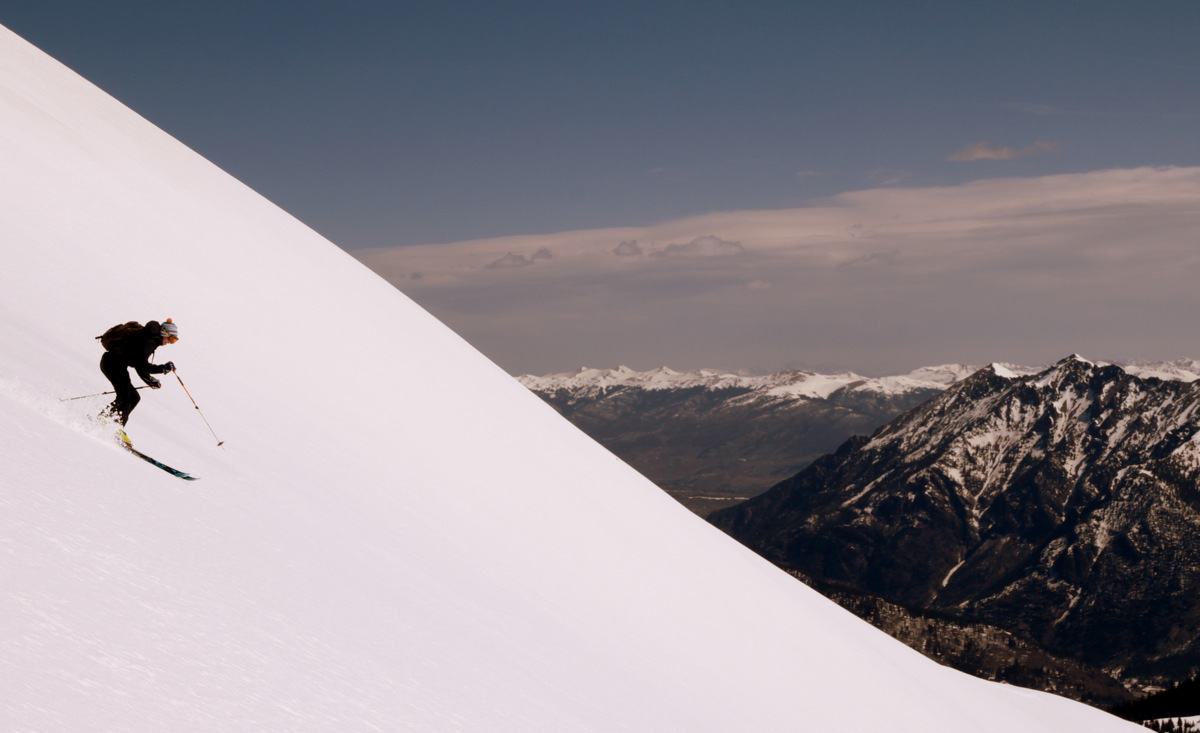
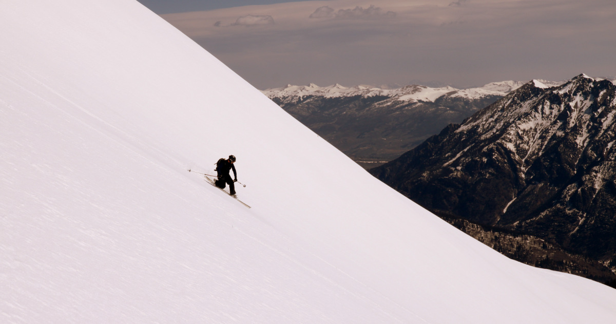
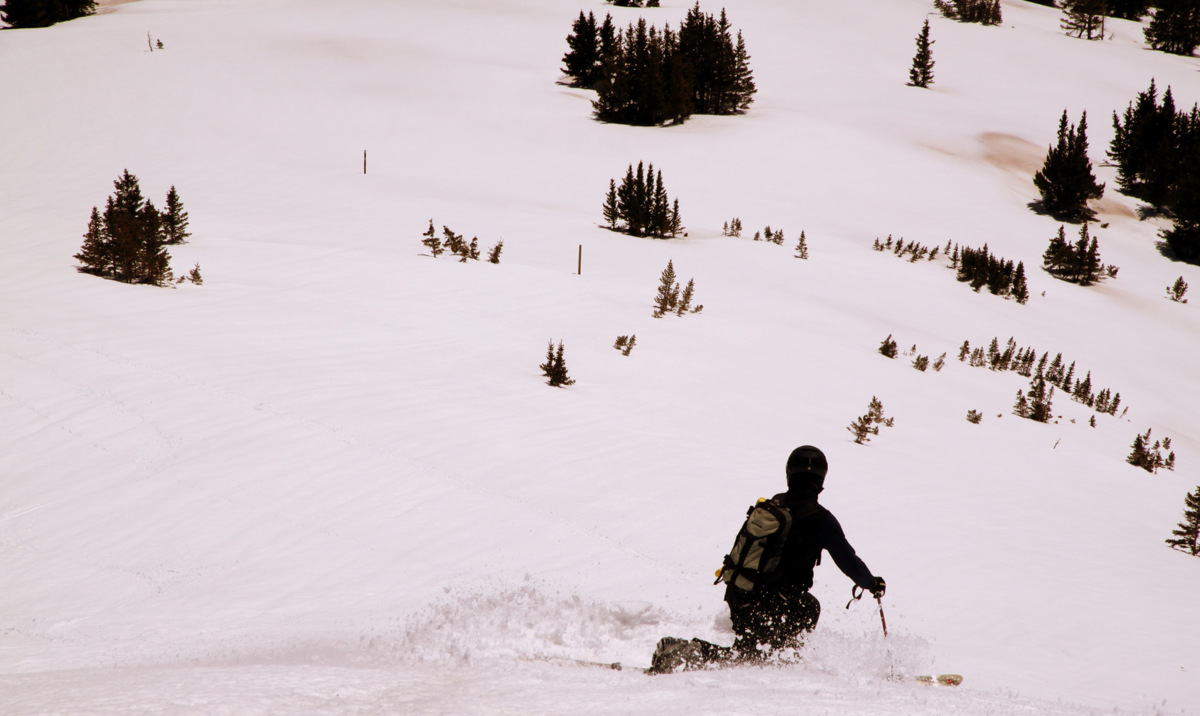
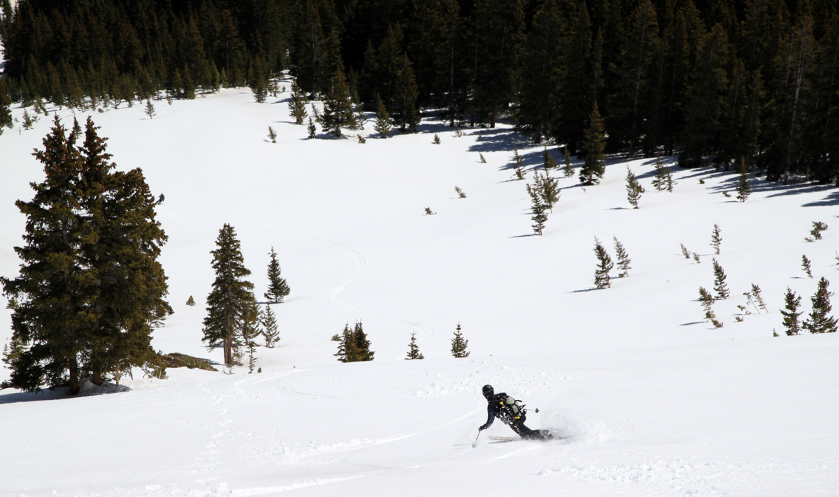
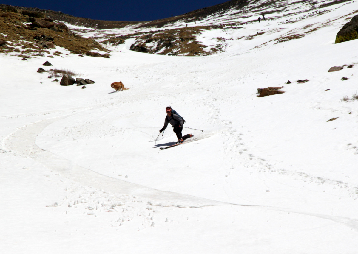
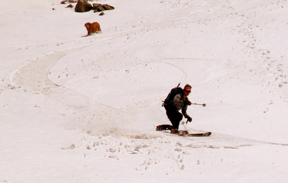
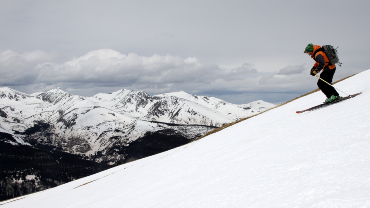
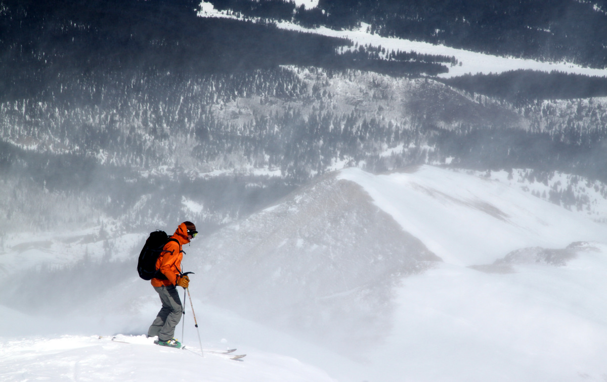
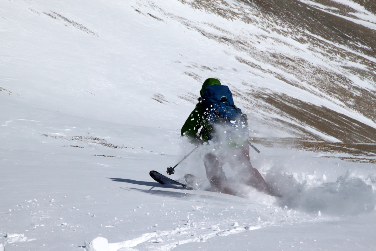
As the southeast face was baking, we swapped into ski mode fast and began our descent. I believe we started skiing down at around noon, which was a bit late for this hot and sunny day as the snow was pretty soft and grabby. Yet, it was still a very fun ski.
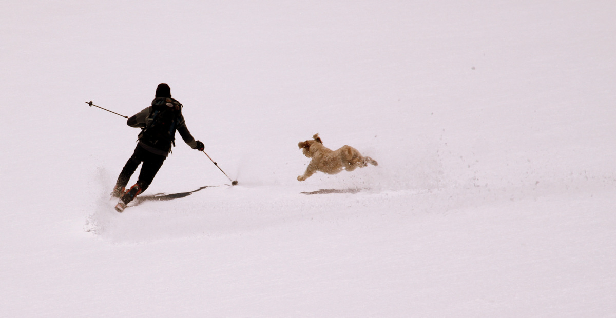
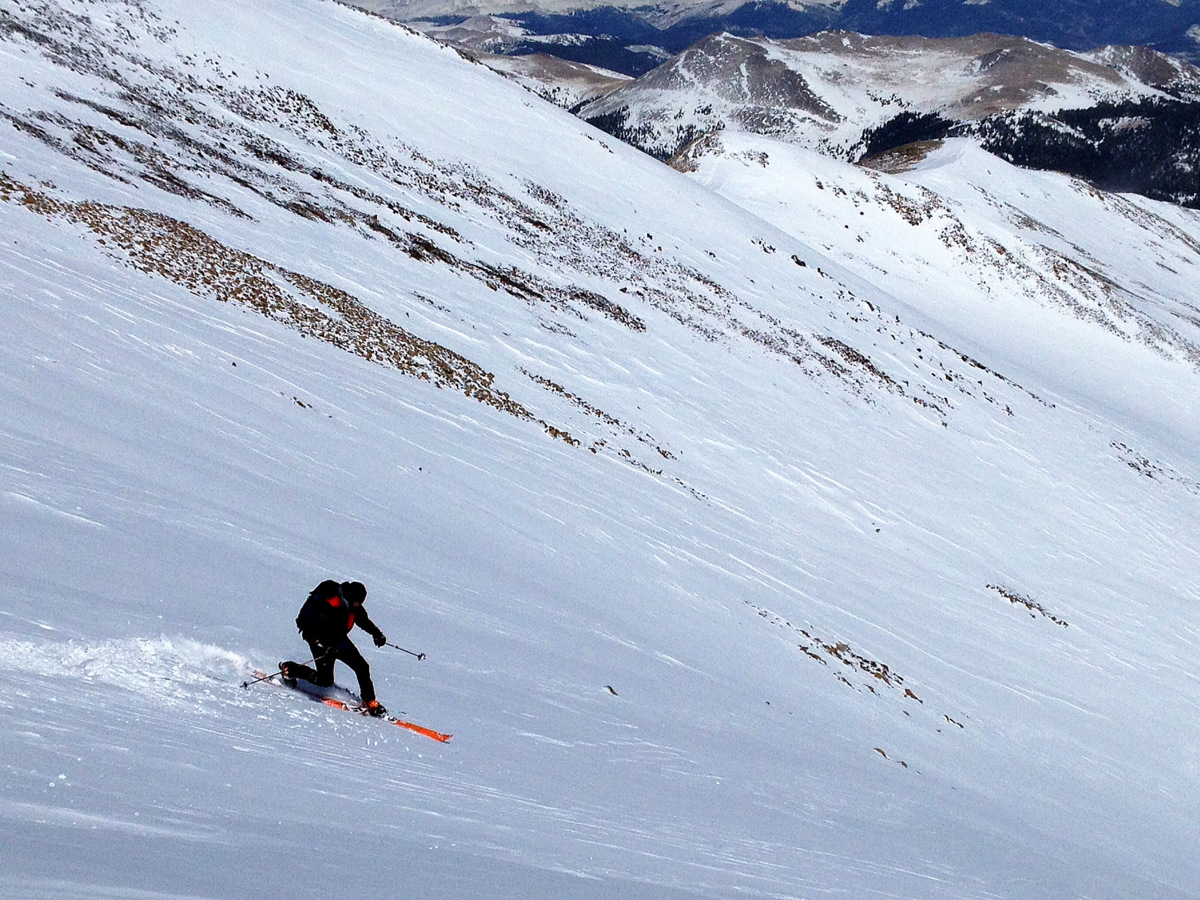
Shawn and Fitzy dropping off the summit

Shawn & Fitzy and a gorgeous backdrop
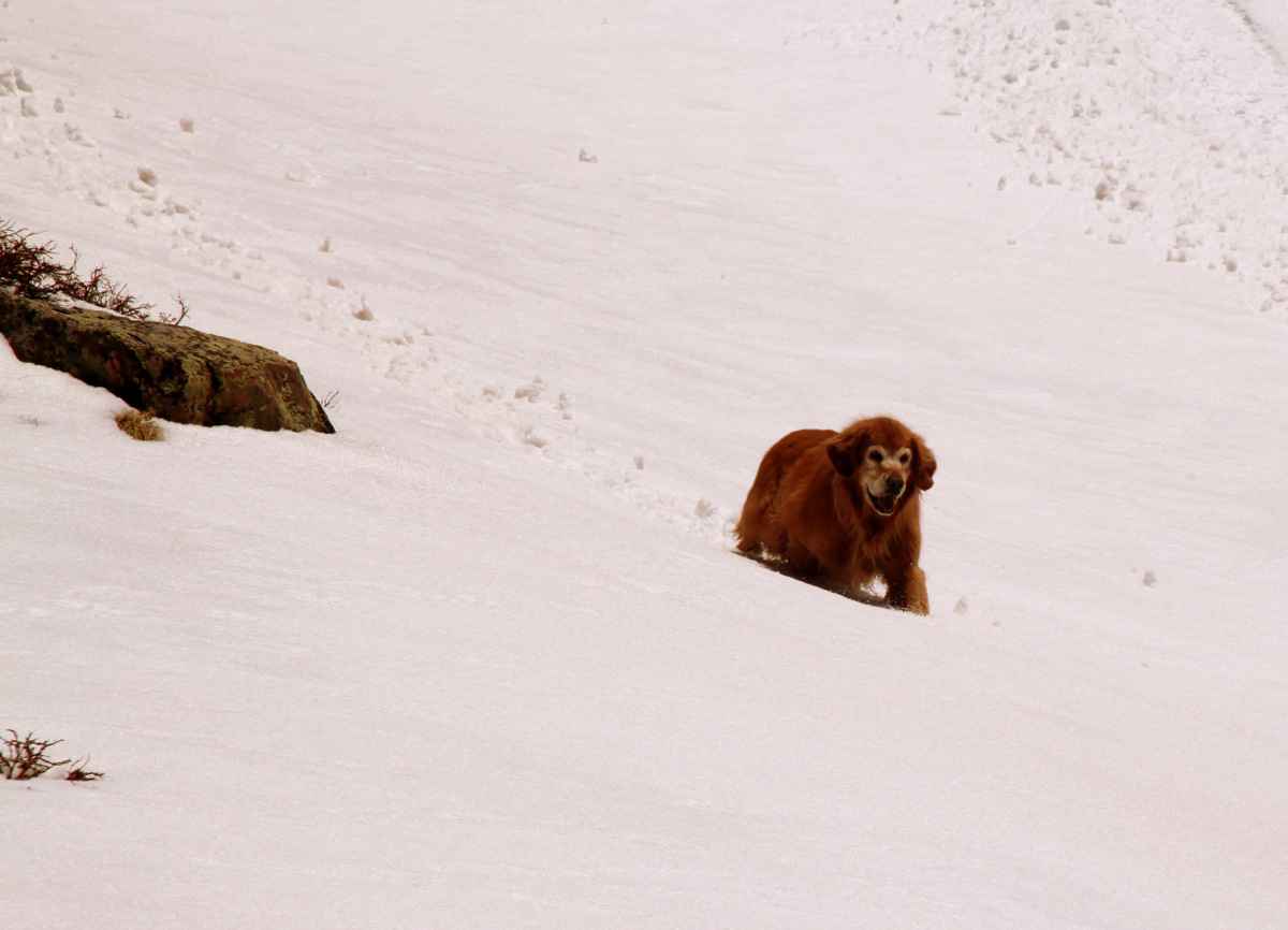
Even though still a young pup, Fitzy will be a great ski-mountaineering dog
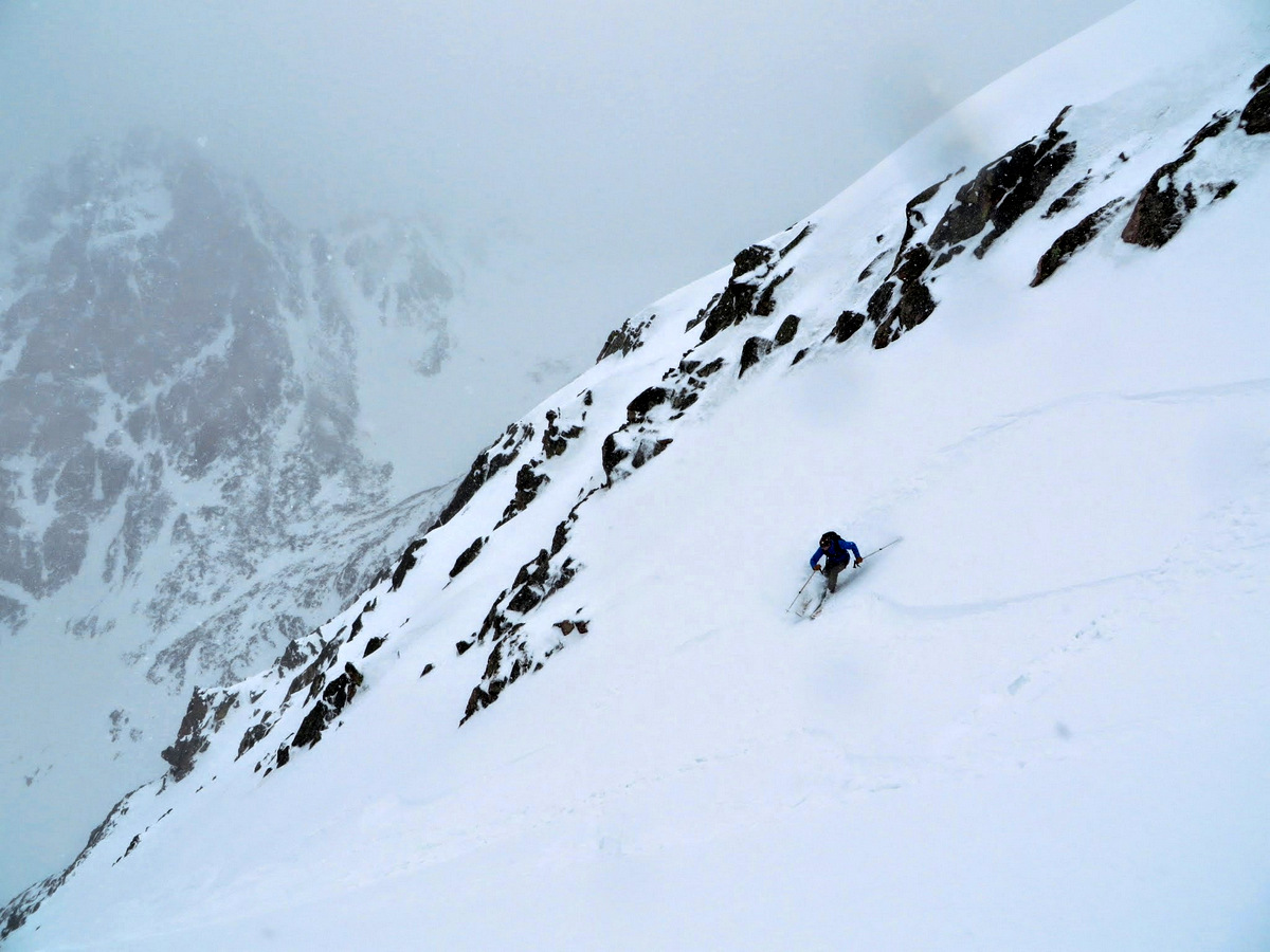
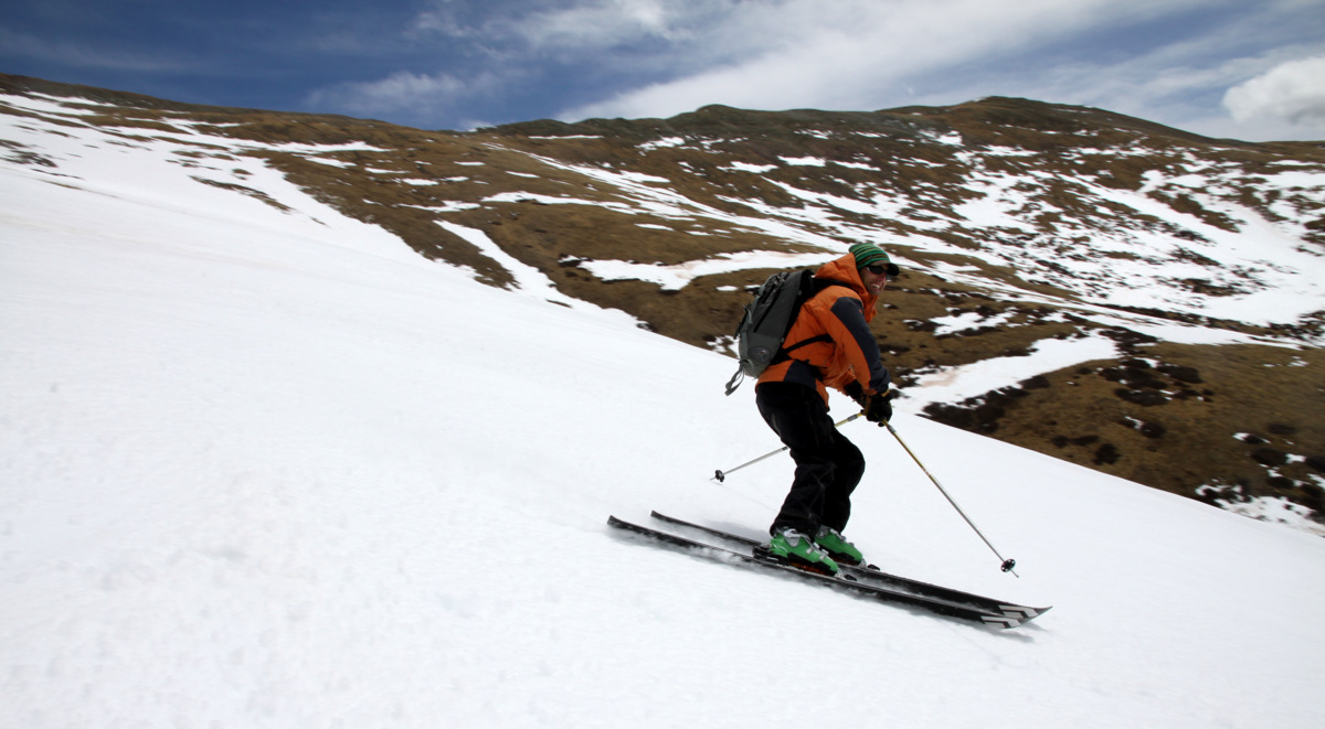
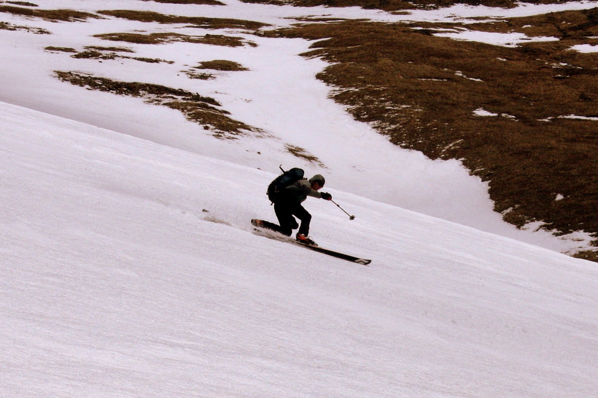
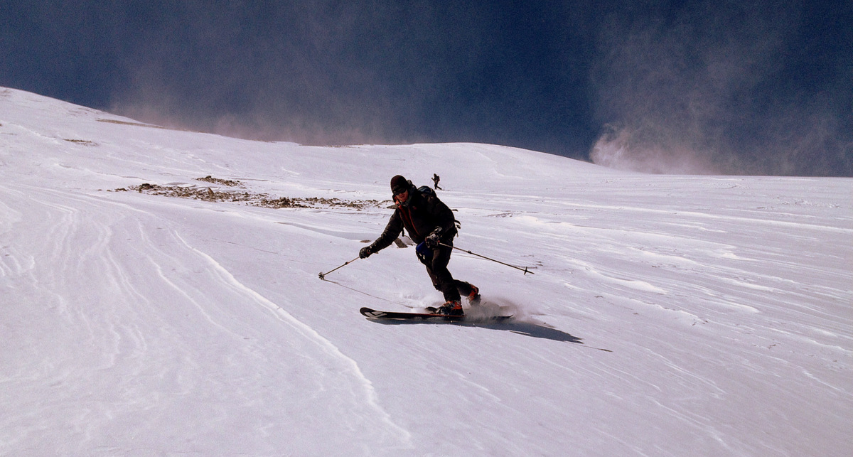
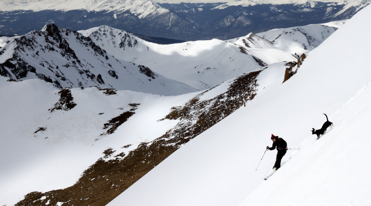
Shawn & Fitzy lower down on the southeast face
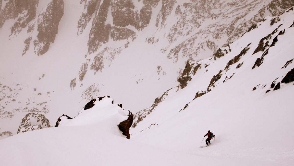
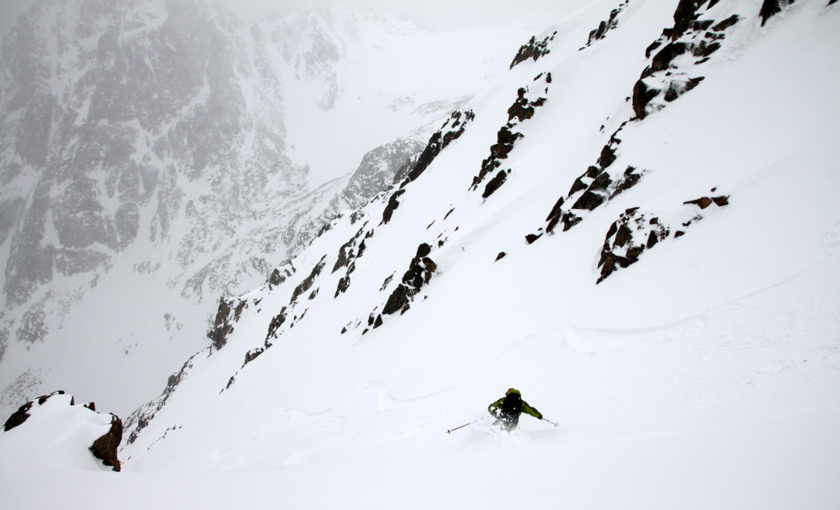
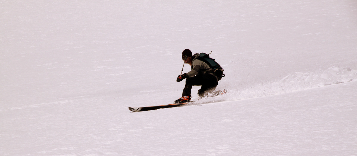
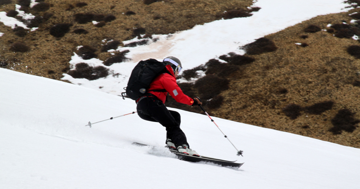
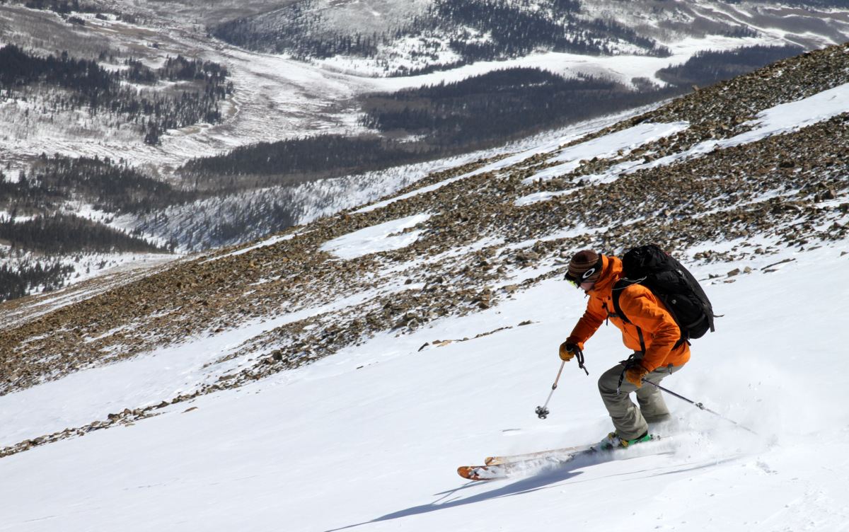
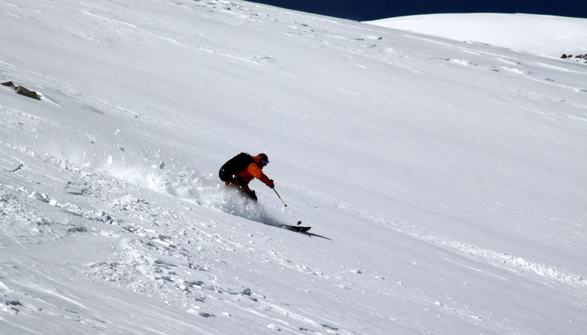
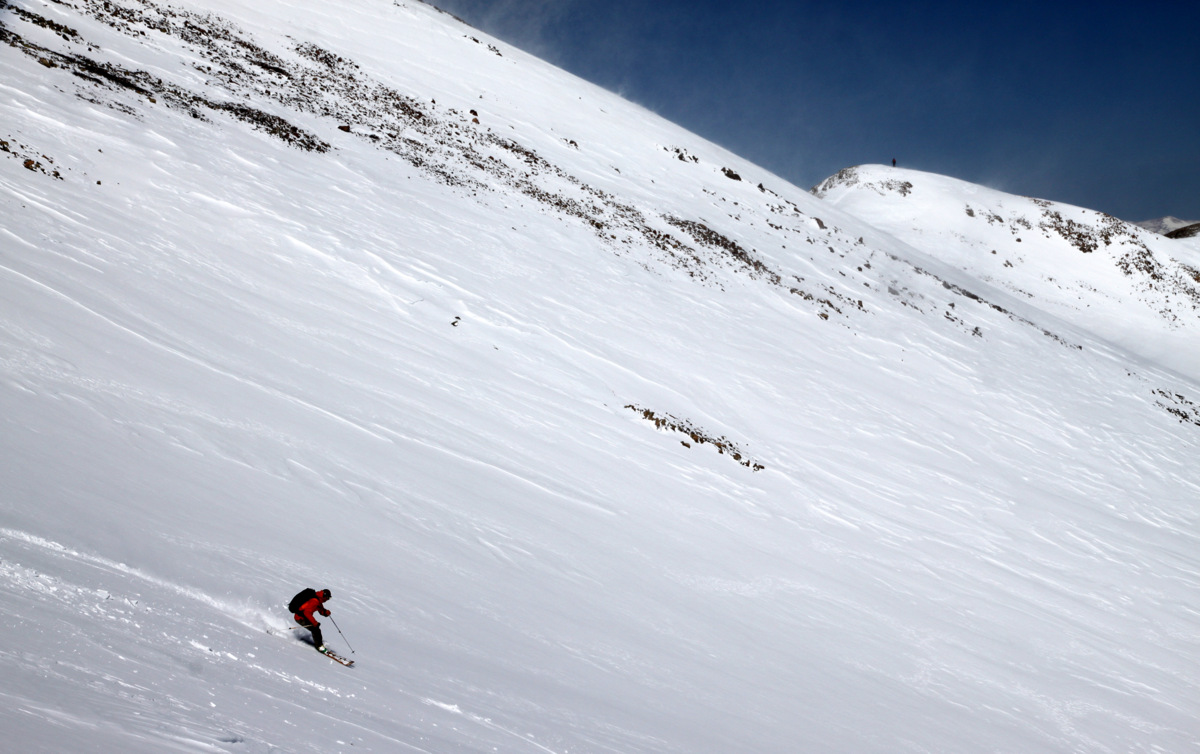
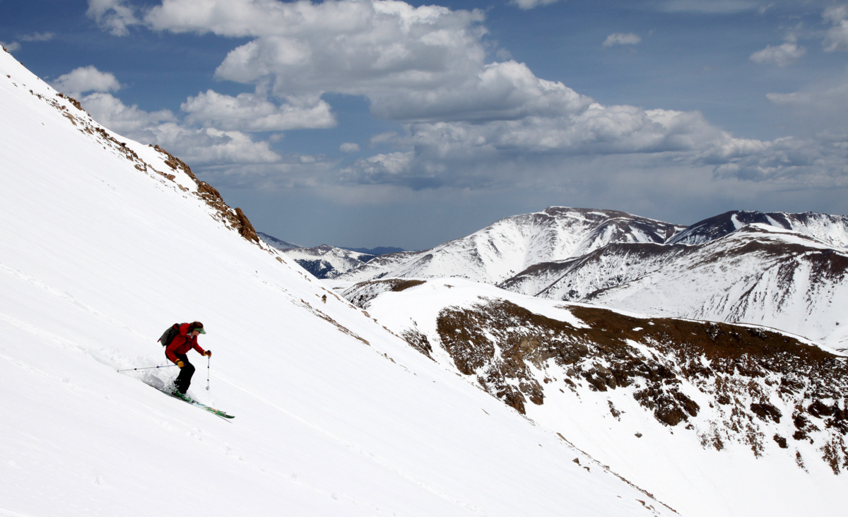
Mikey and his tele turn
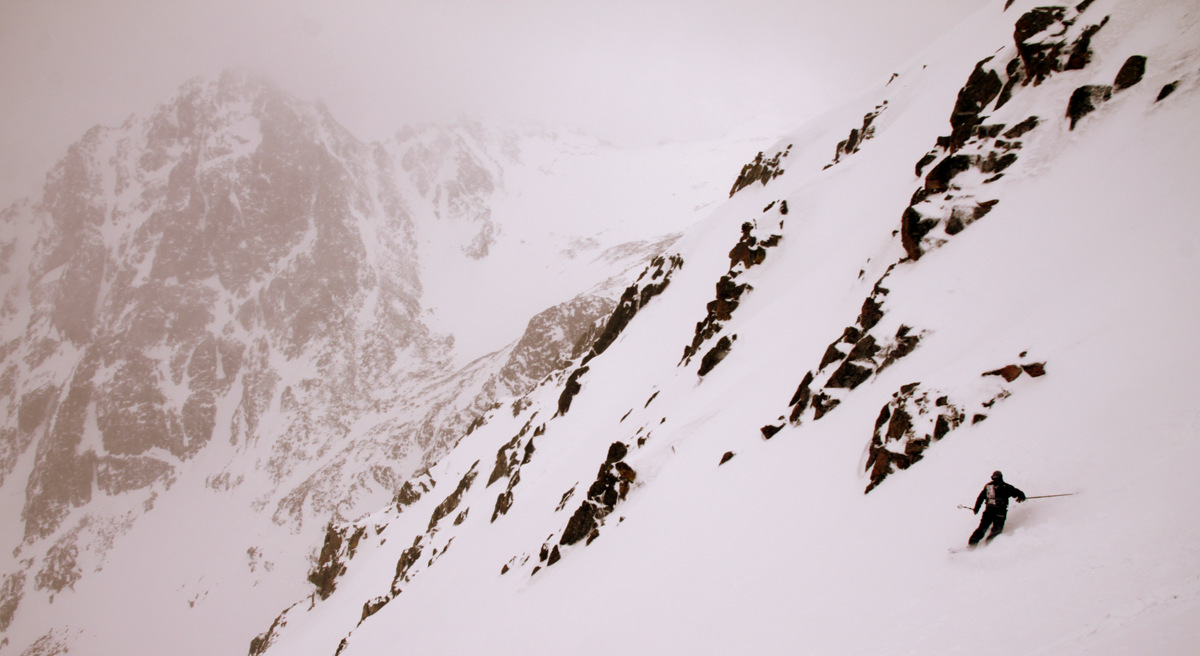
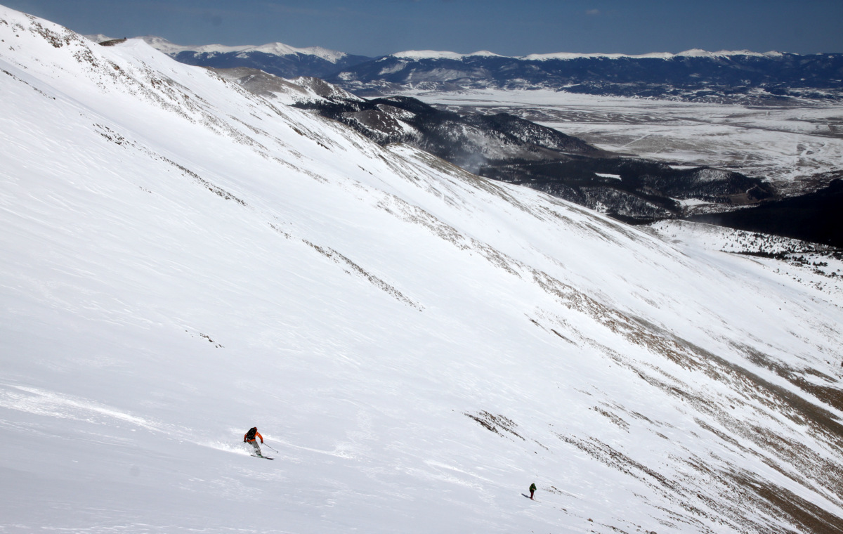
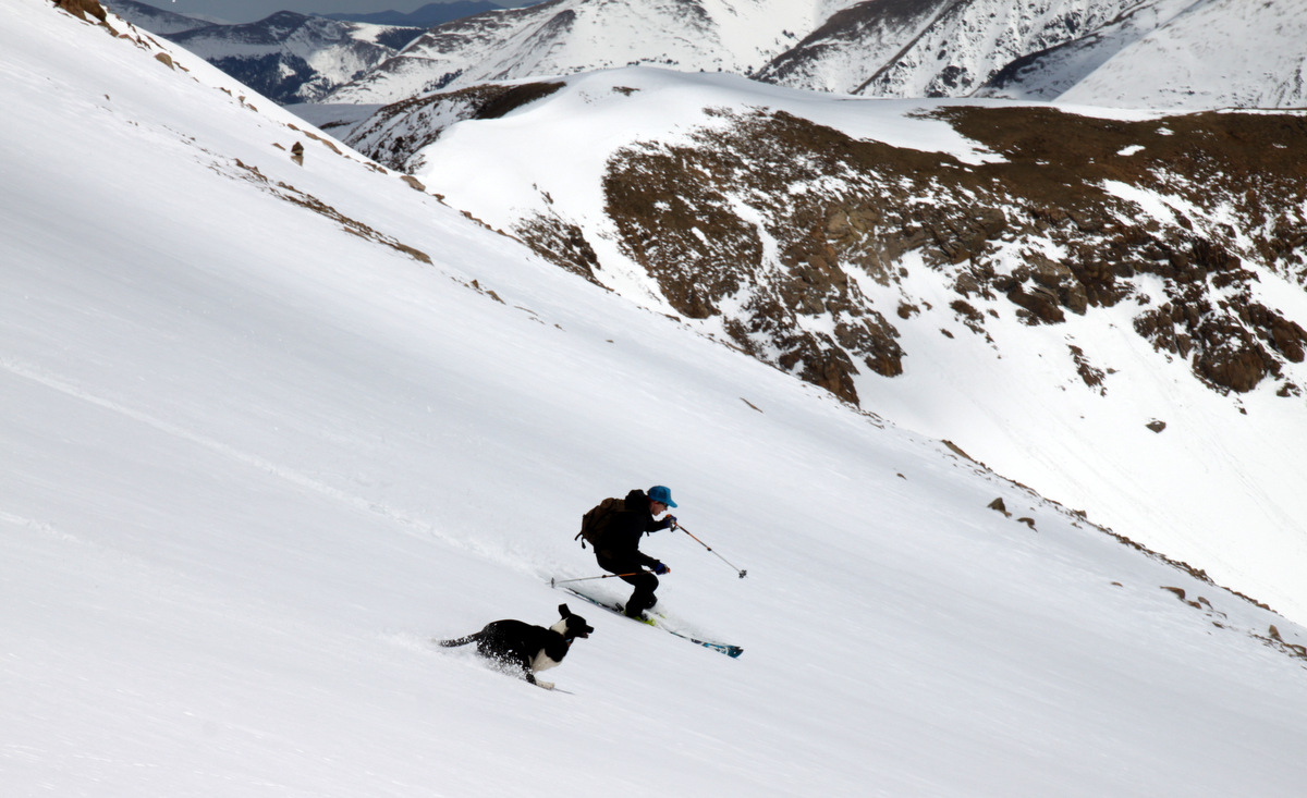
Kristine in great form
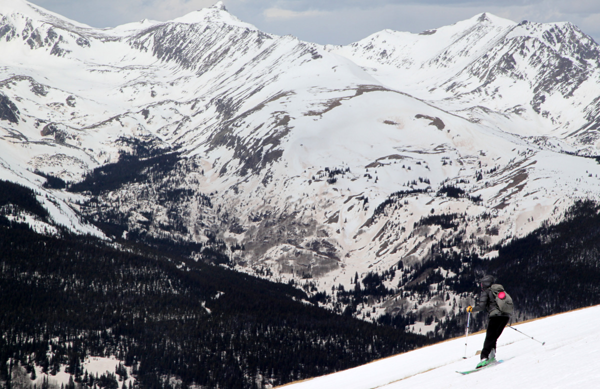
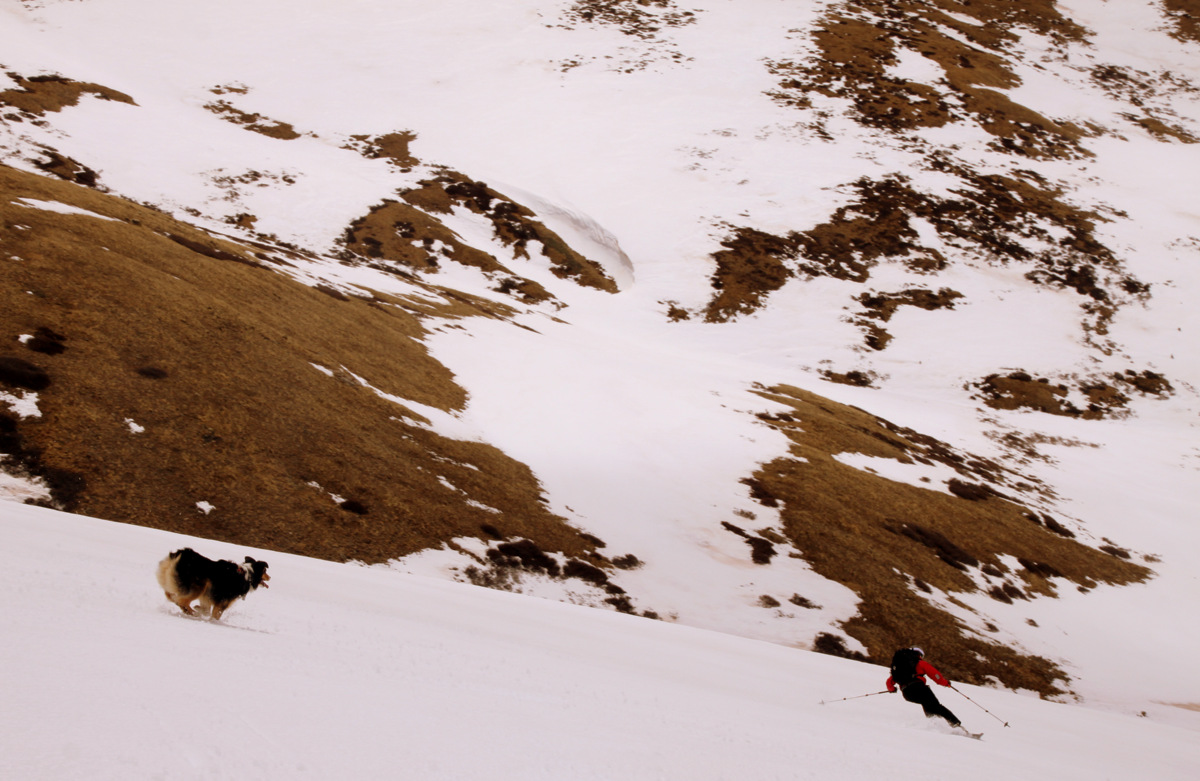
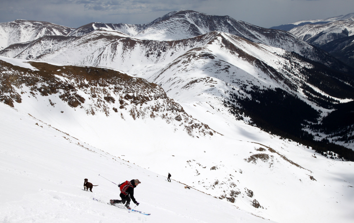
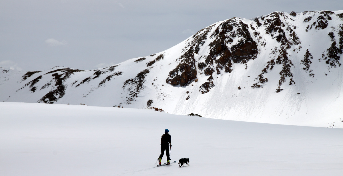
Kristine & Kona almost back down to Herman Lake
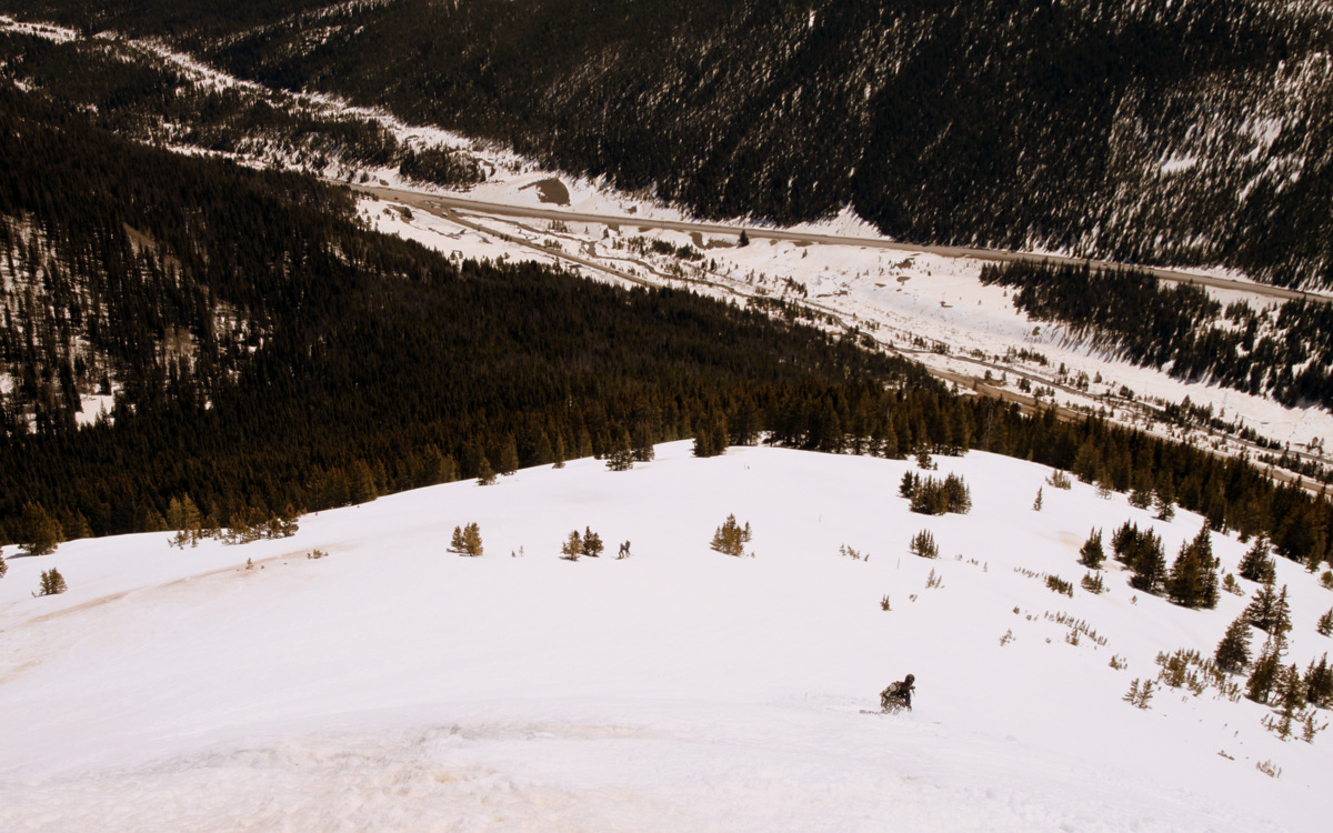
The dogs were pretty hot and panting pretty good, so we stopped a lot on the descent for them to catch their breath and cool down. We observed a few larger wet slides come down on the surrounding steeper terrain on our descent, but they stayed clear of us. We skated across Herman Lake and down to the valley to pick up the well-trodden skin track.
Kristine skinning across Herman Lake. A few wet-slides came down on the steeper faces behind her as we skied down the southeast face
Shawn & Fitzy
After a bit of lunch and a good rest for the dogs, we took our time skinning and skiing out the 3.5 miles to the trailhead.

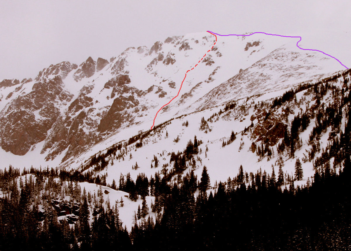
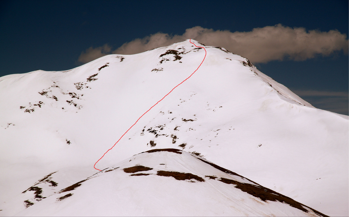
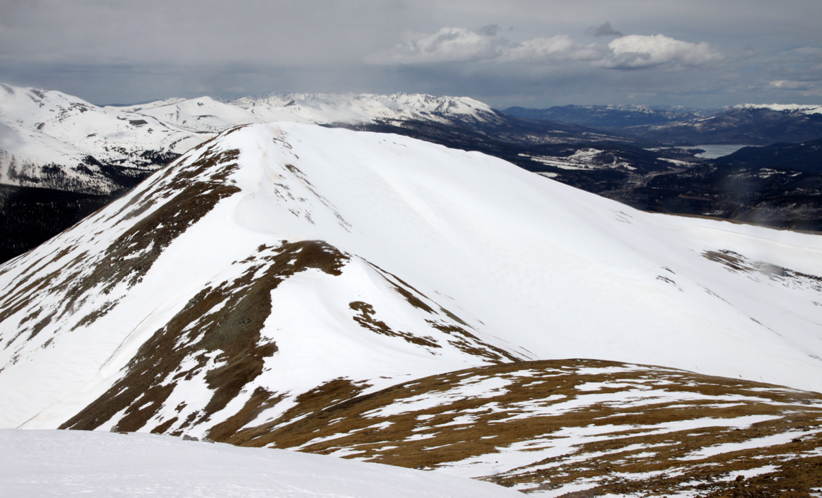
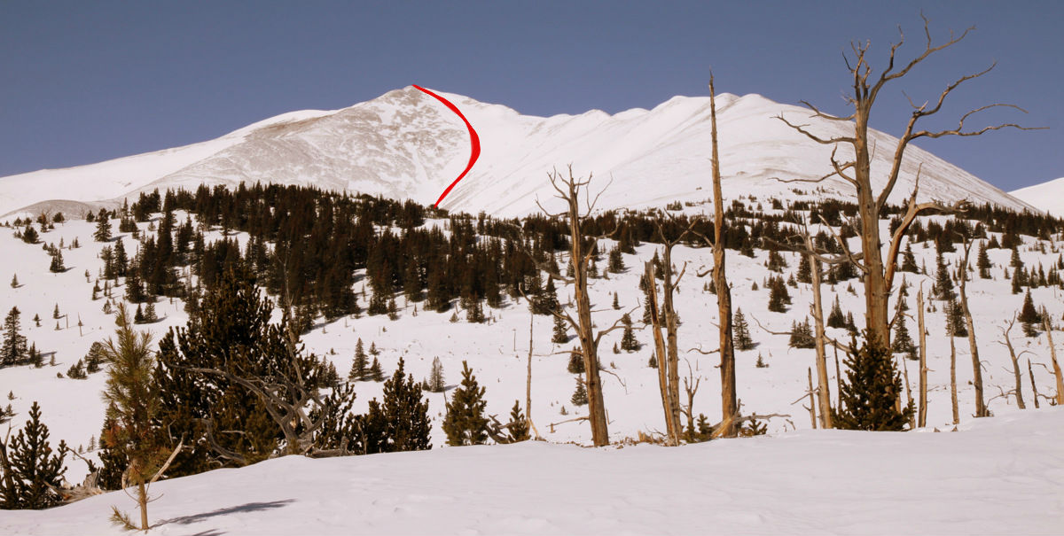
Kristine, Mike, & Shawn on the ski out Herman Gulch with our route up/down Pettingell’s southeast face shown in red behind
We arrived back at the cars at about 1:45pm and were soon on our way since we left Rainier at home. Total stats for Pettingell from Herman Gulch trailhead is about 9 miles roundtrip with 3,300′ of vertical gain. It was a great day on some new terrain for us. We will definitely be visiting the peaks of Herman Gulch for years to come.
 Follow