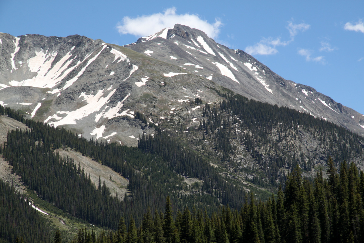
West Deming
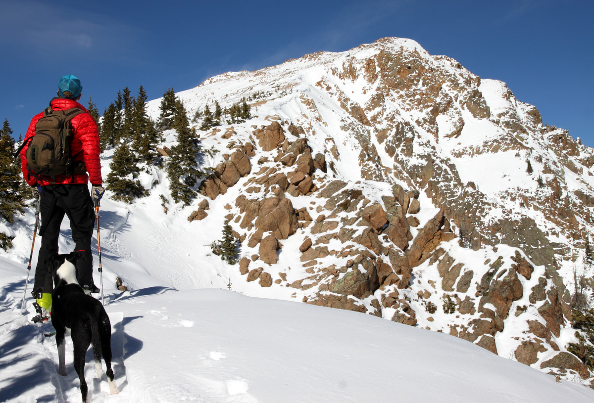
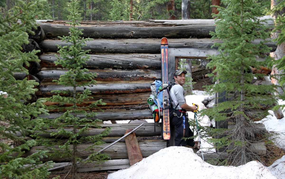
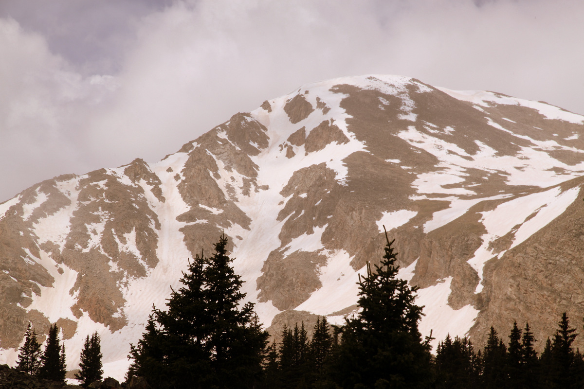
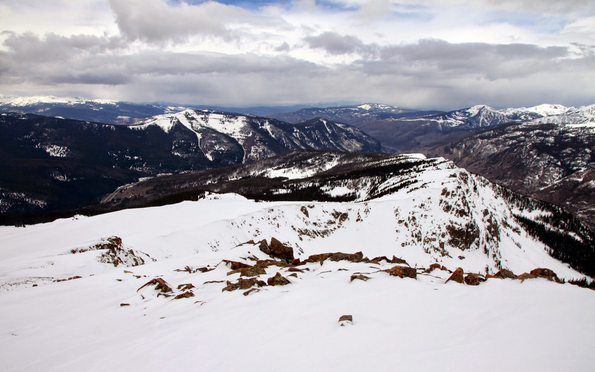
I’m always looking for fun little half-day ski tours that are fairly easy to access. Even better if these ski tours are in the Gores. I’ve looked at the very moderate southwest face of this 12,736′ peak dubbed “West Deming” for well over a decade of living in the Vail Valley yet have never ventured up into the steep woods to access this face. It always looked like it would be a great ski despite its very mellow angle (25 degrees maximum). I noticed there was a runaway truck ramp on I70 West halfway between the top of Vail Pass and East Vail. This looked like the perfect parking spot (just below the runaway truck ramp in a very large shoulder off I70 West at about 9,600′) and it turned out it was pretty perfect. Not many hikes or ski tours you access by walking up a truck ramp – at least not many that I have found. Kristine, Kona, & myself did some recon over a week ago one Friday afternoon and made it to 11,600′ right at treeline before we had to start the ski down in order to pick up Sawyer from daycare at 4pm. However, it was good recon of the lower meadows and trees in finding a fairly efficient route up to treeline and the base of the southwest face.

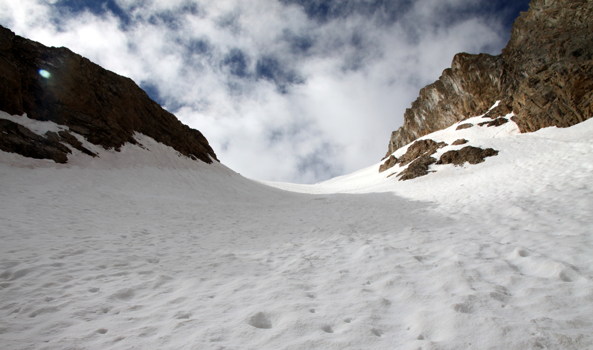
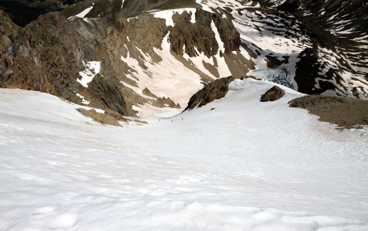
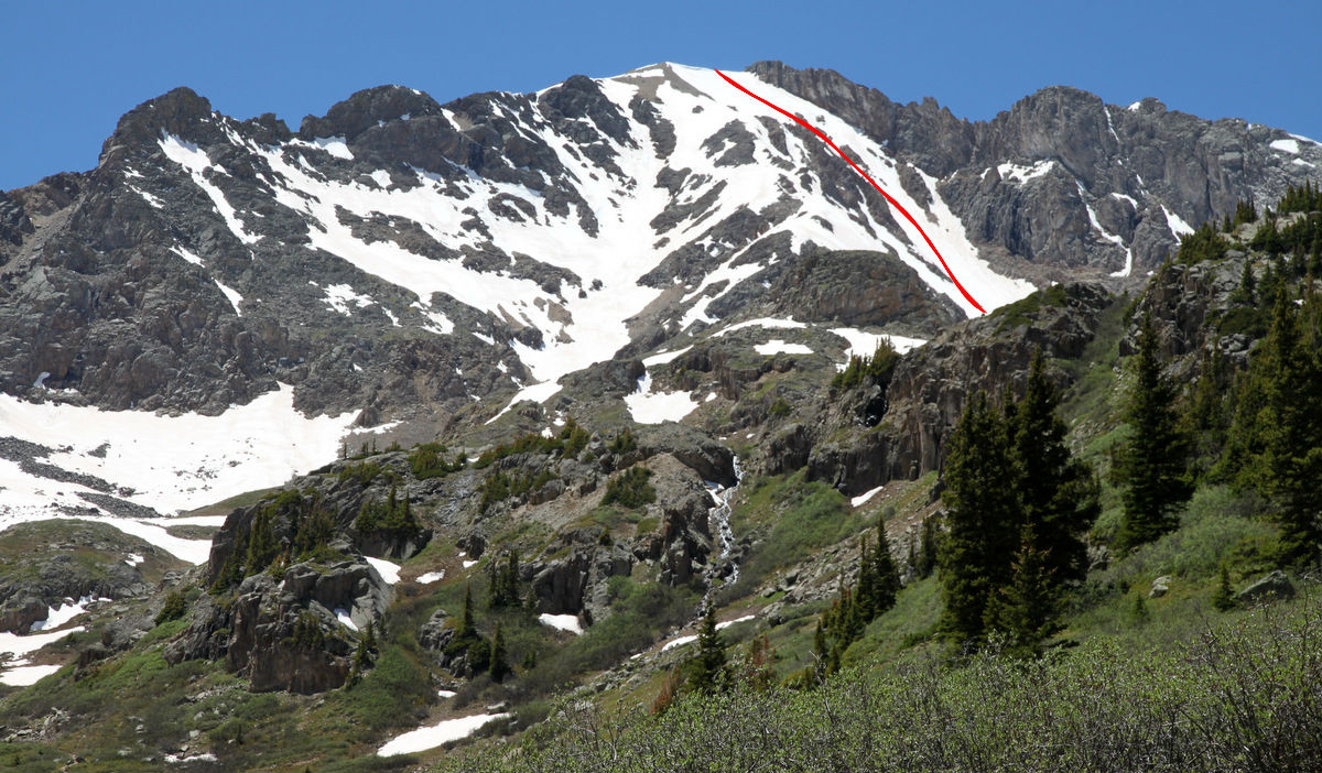
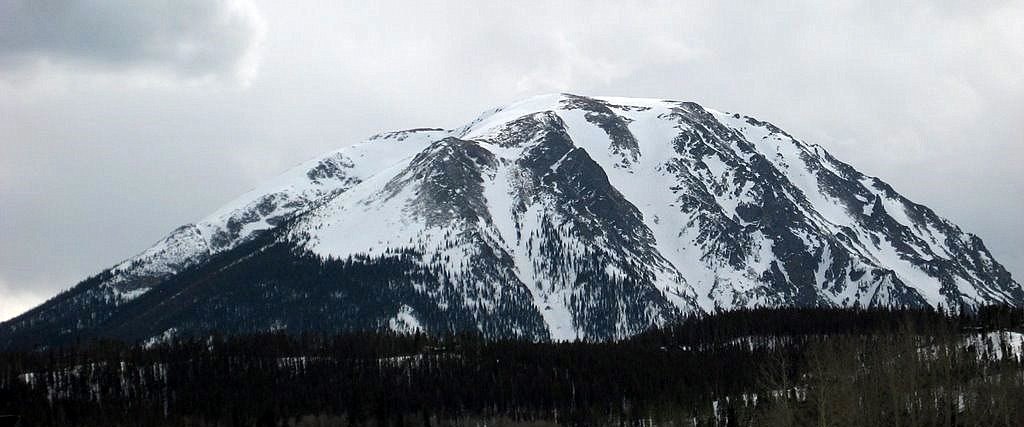
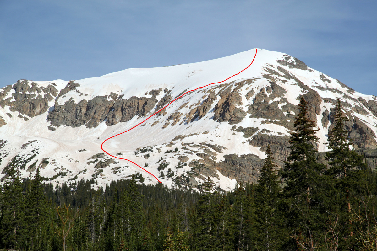
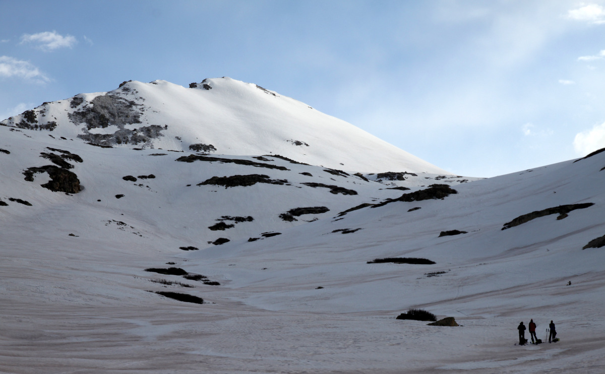
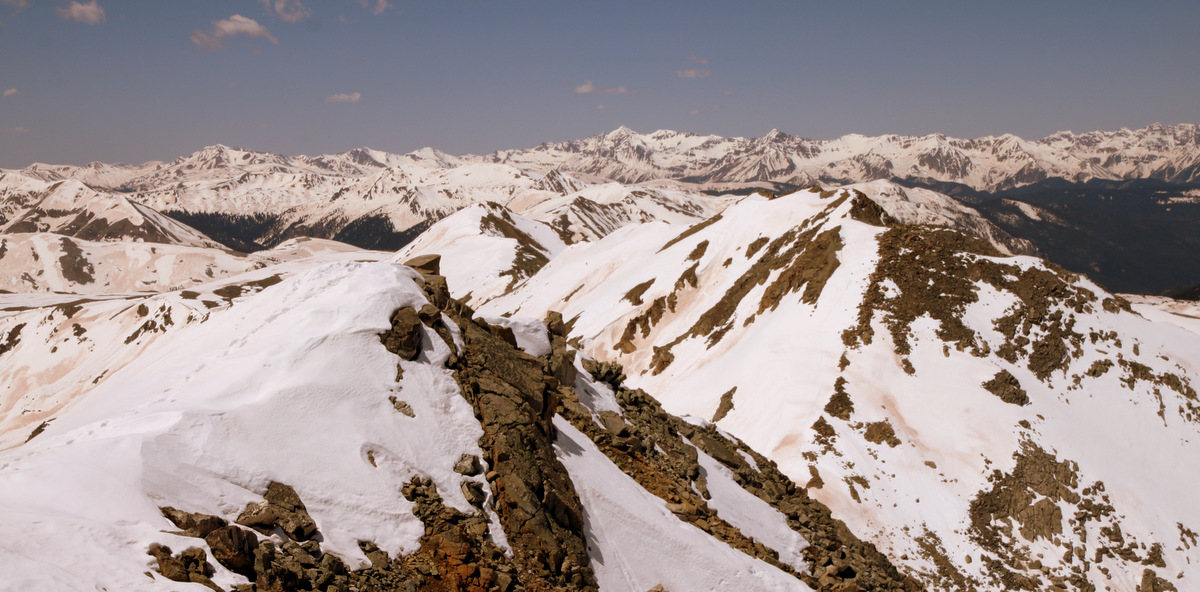
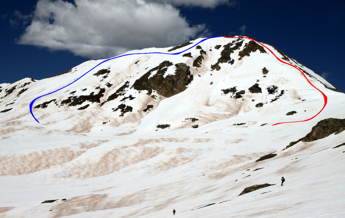
Our route up West Deming’s southwest face from I70 West
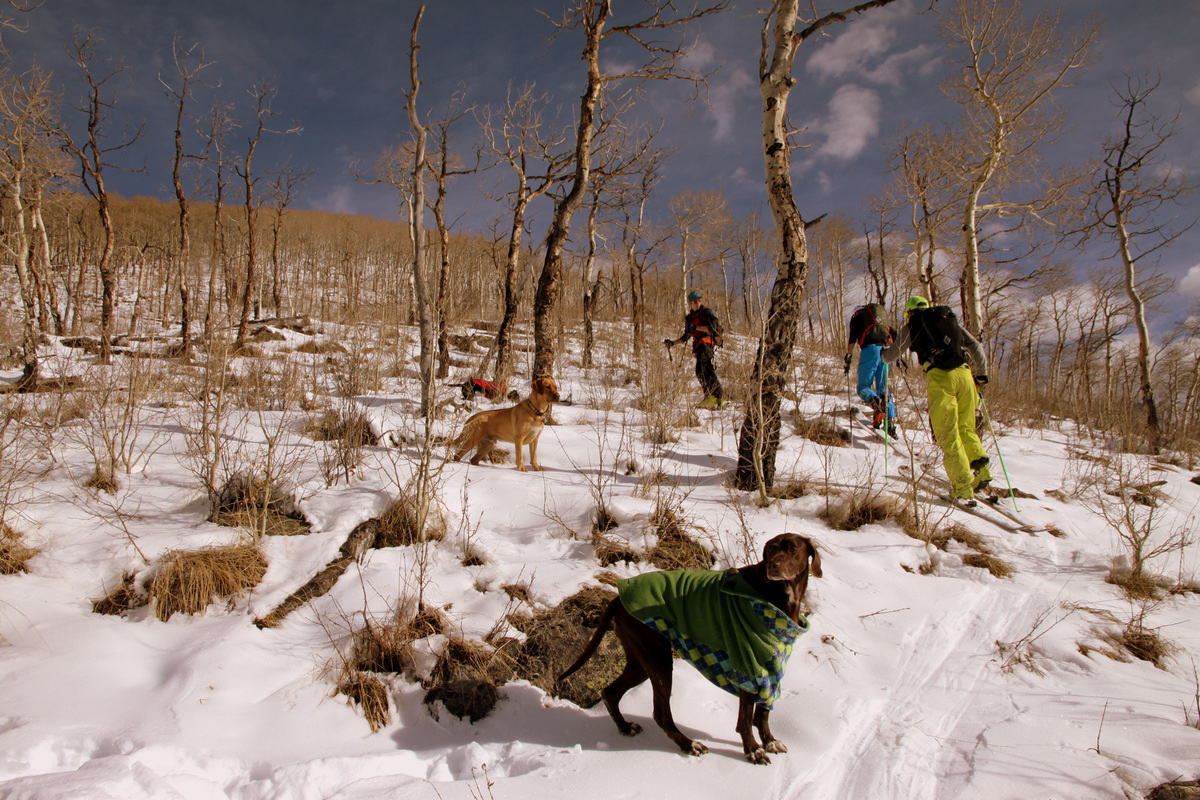
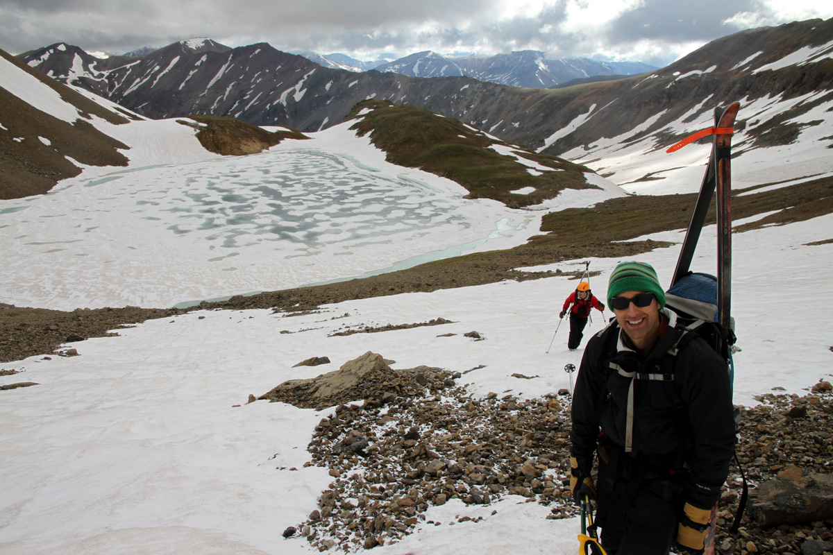
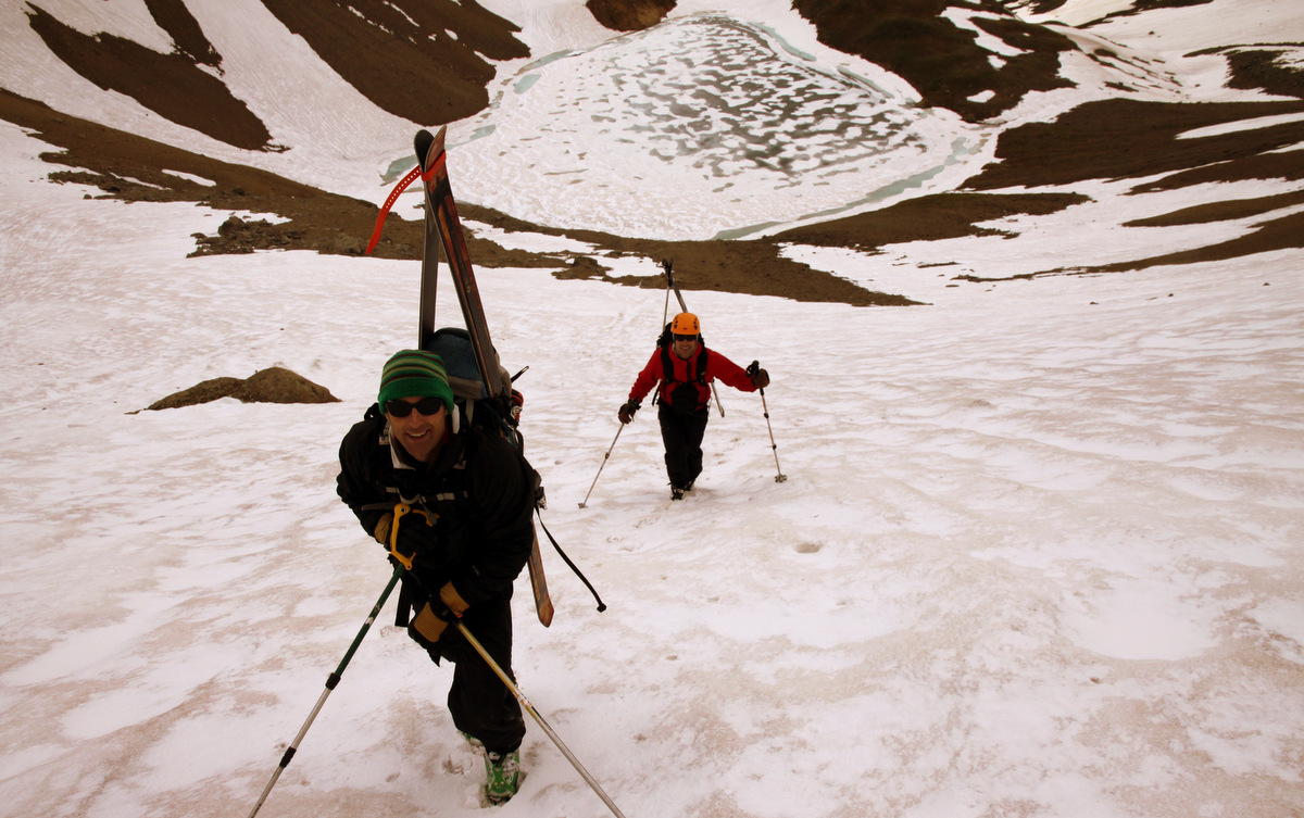
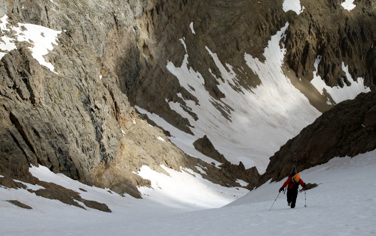
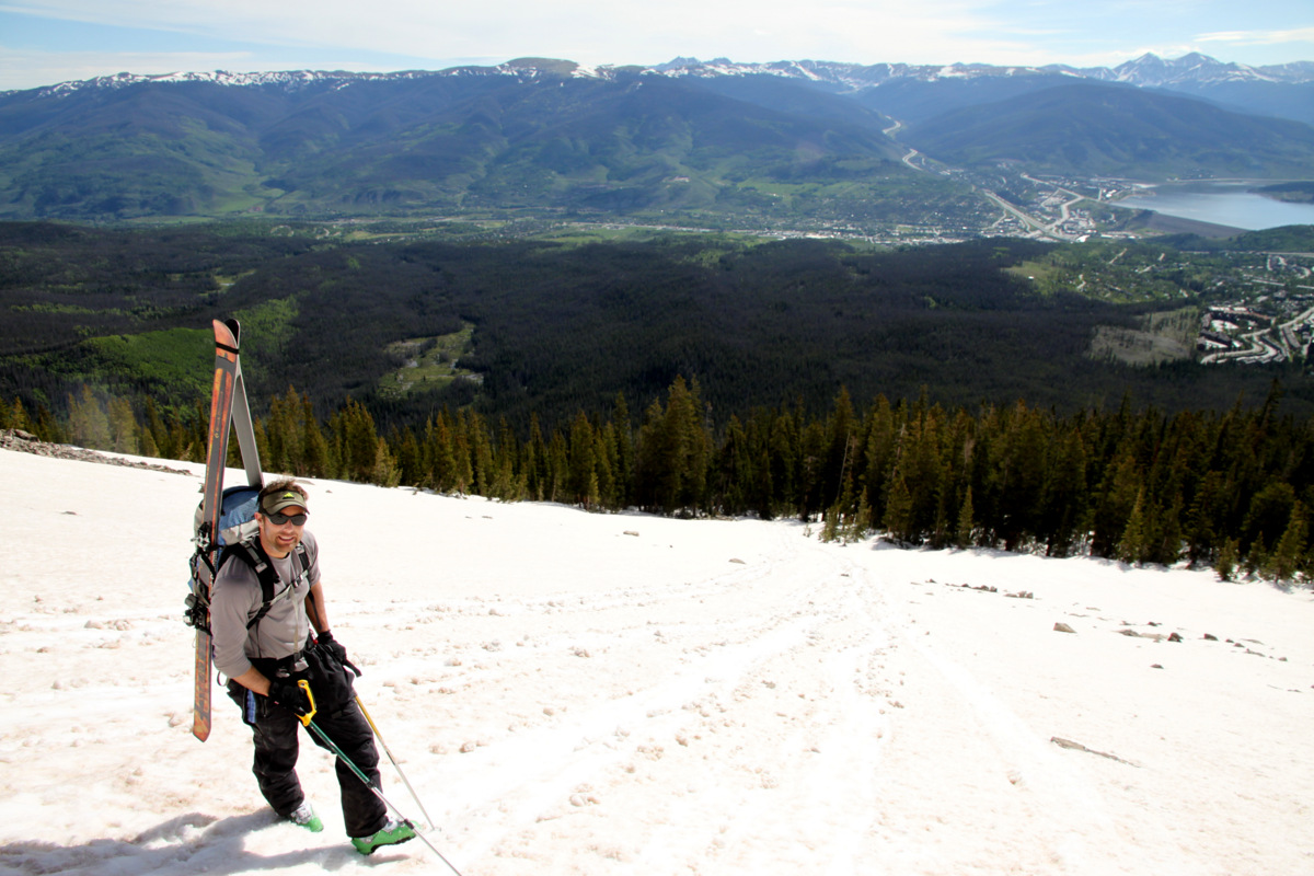
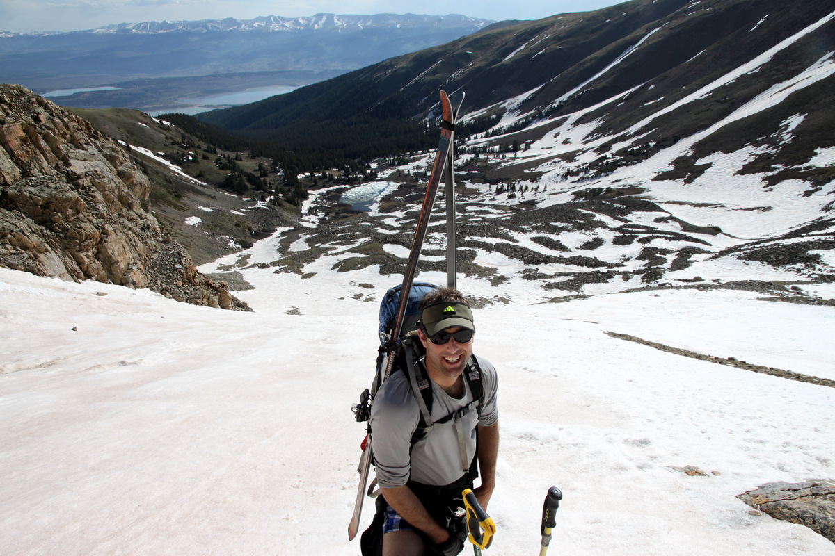
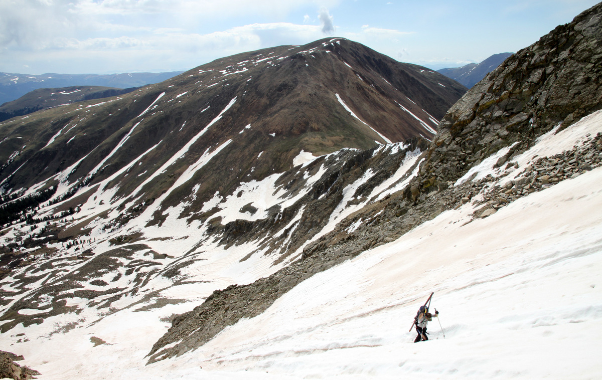
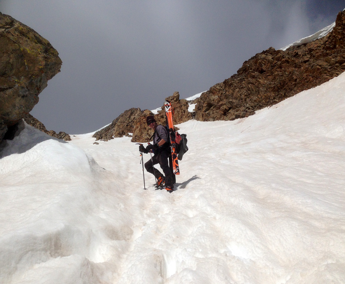
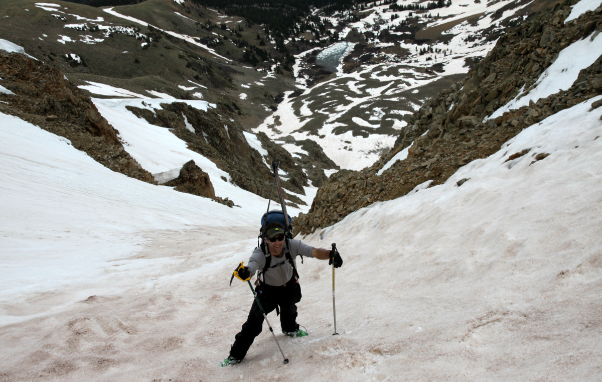
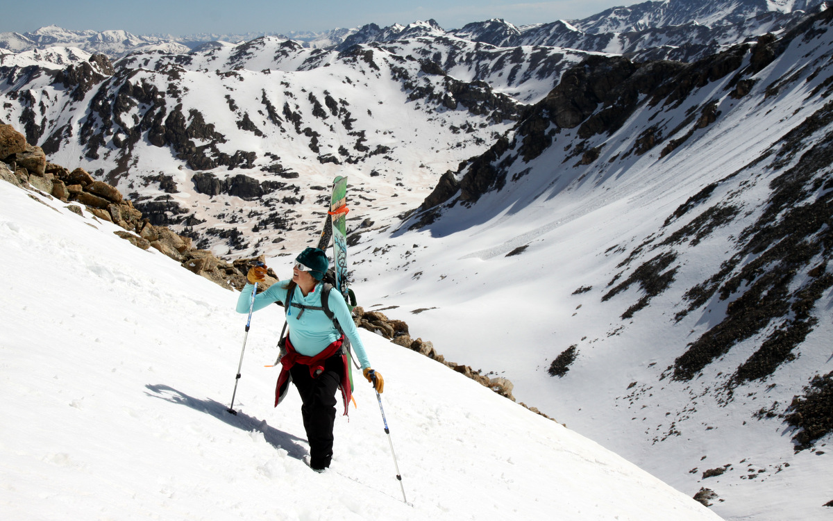
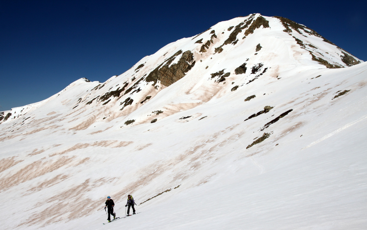
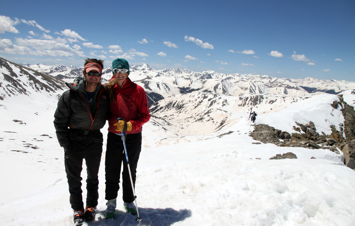
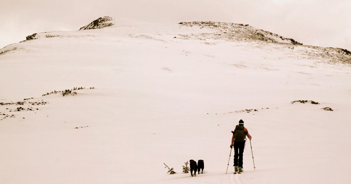
After dropping the youngest & oldest Chalk (Sawyer & Rainier) off at our good friends’ Sarah & Keith’s house in Edwards and picking up their dog Molly, we boogied up to Vail Pass this past Saturday morning to meet good friend Joel Gratz and give West Deming the good ole college try despite a not so ideal forecast. Joel was calling for decent weather at least for a few hours Saturday morning, which was good enough for us. It was extra special to get out again with Kristine as having a 6 month old doesn’t necessarily allow us to get out together as often as we would like. After hiking up the runaway truck ramp, we donned the skis/skins at the first open meadow down at the end of the bike path and began the route up we remembered from the week prior. The skinning was much easier this time around as Kristine and I were breaking trail through 6″ of heavy spring snow the week before. We skinned the 2,000′ up to exactly the same spot at treeline in about an hour and 45 minutes. There are actually some areas of steep skinning through the woods and one point where Joel & I carried our skis up a steep, bare (of snow) glade while Kristine again showed us up and kept her skis on.
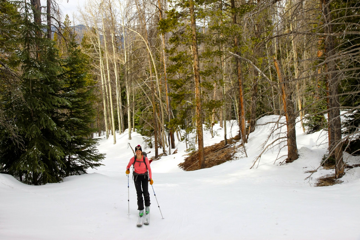
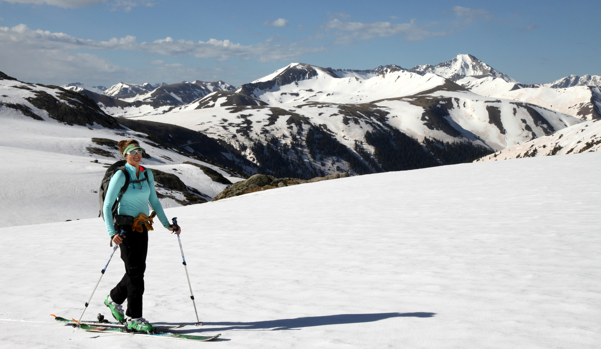
Kristine early on in the trees
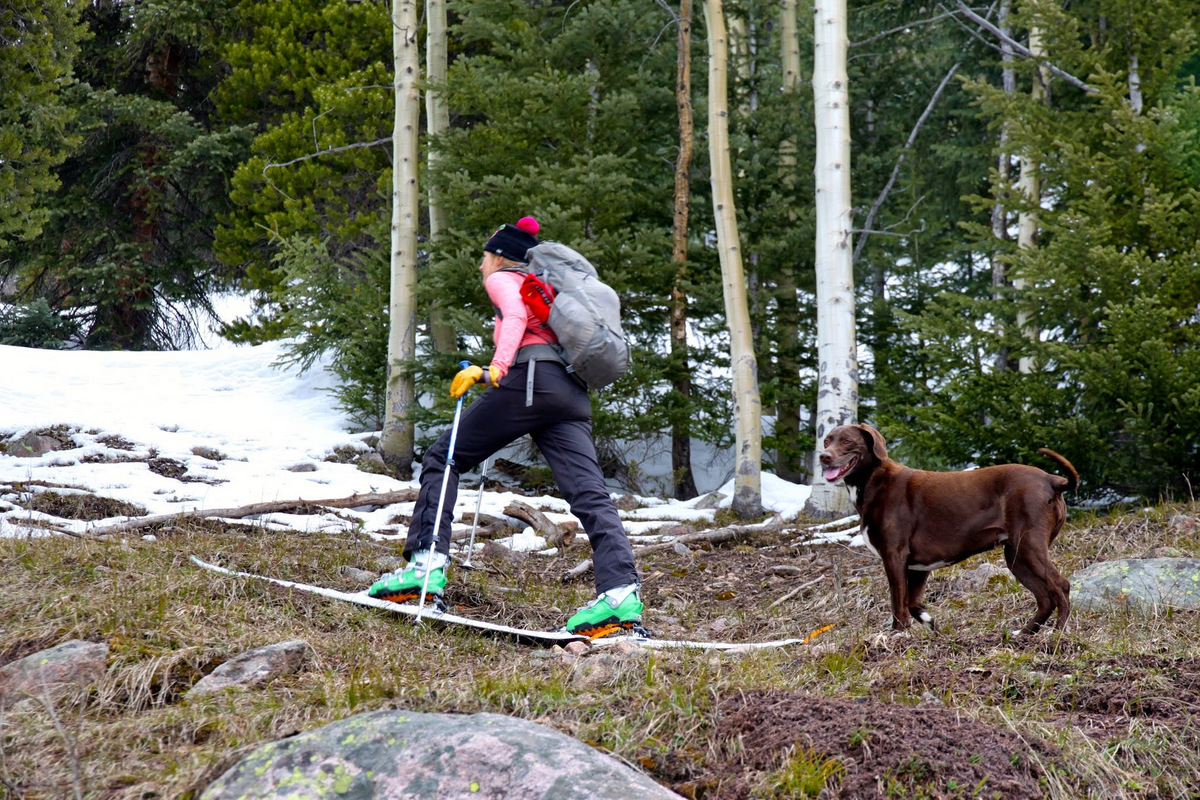
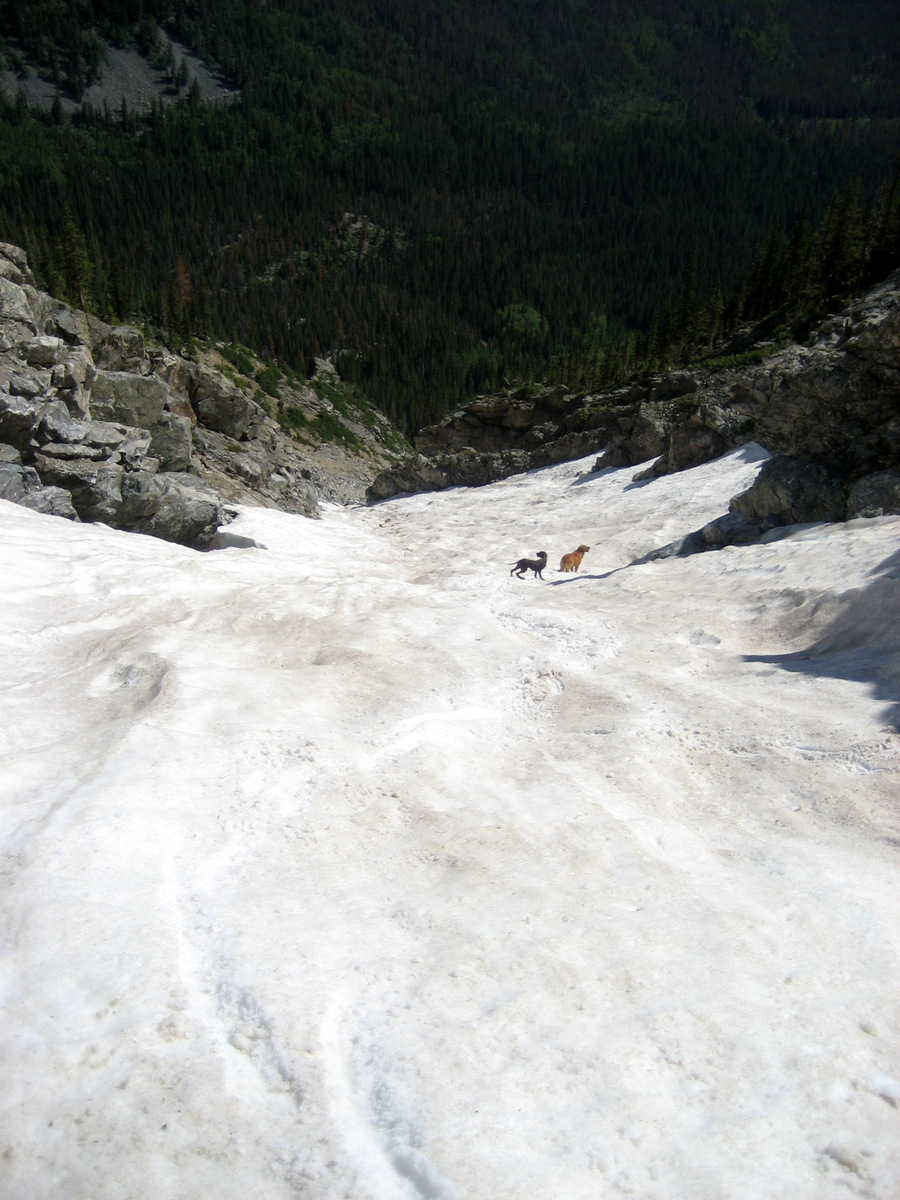
Kristine & Kona hanging tough over the steep, dry ground

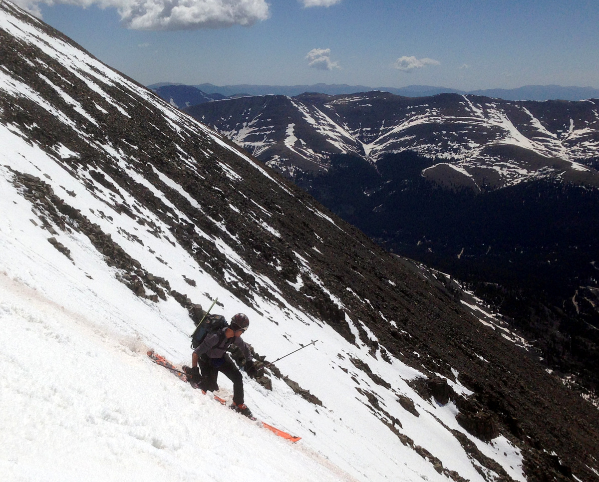
Kristine showing Joel & I up by keeping her skins/skis on
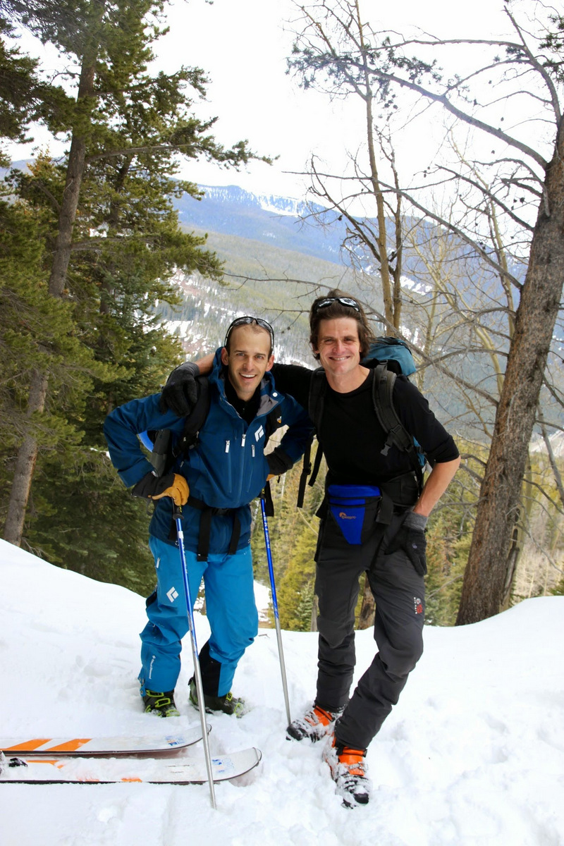
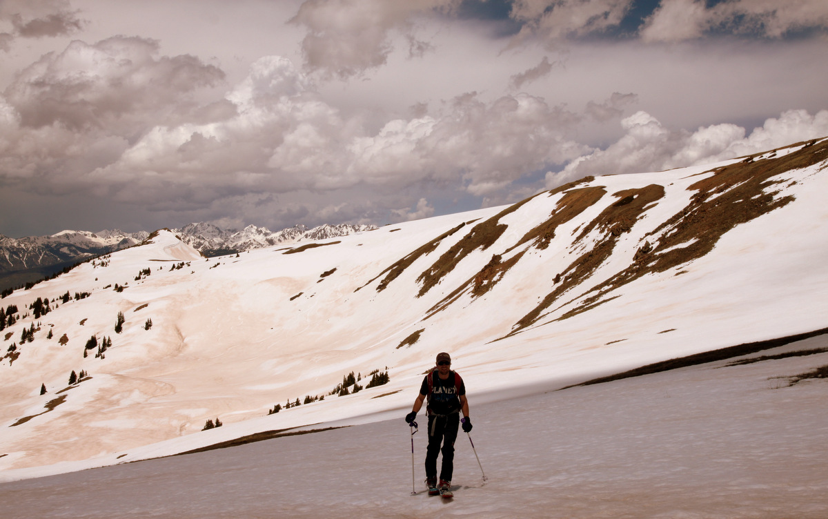
Good to be out with this guy again
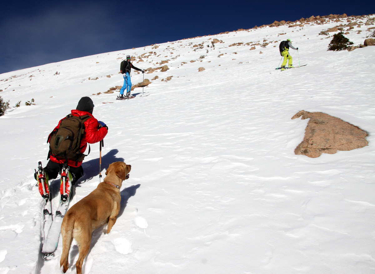
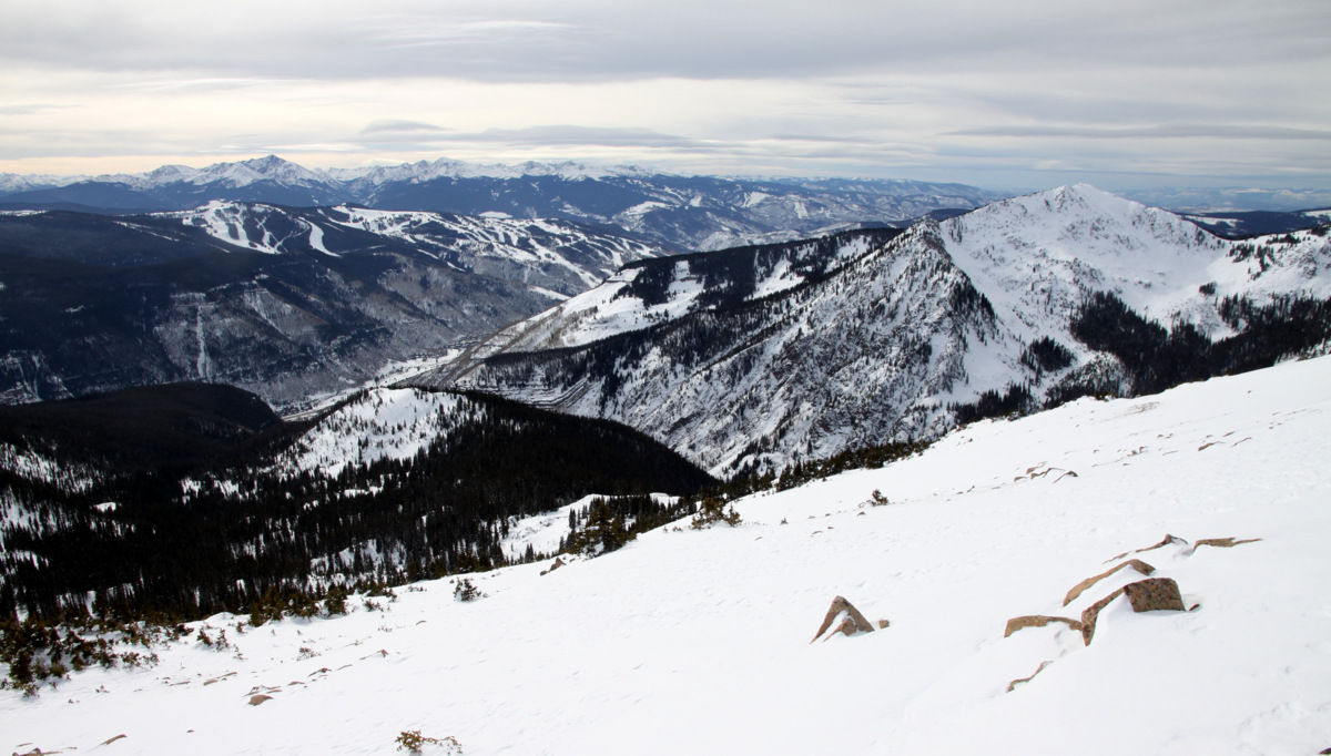
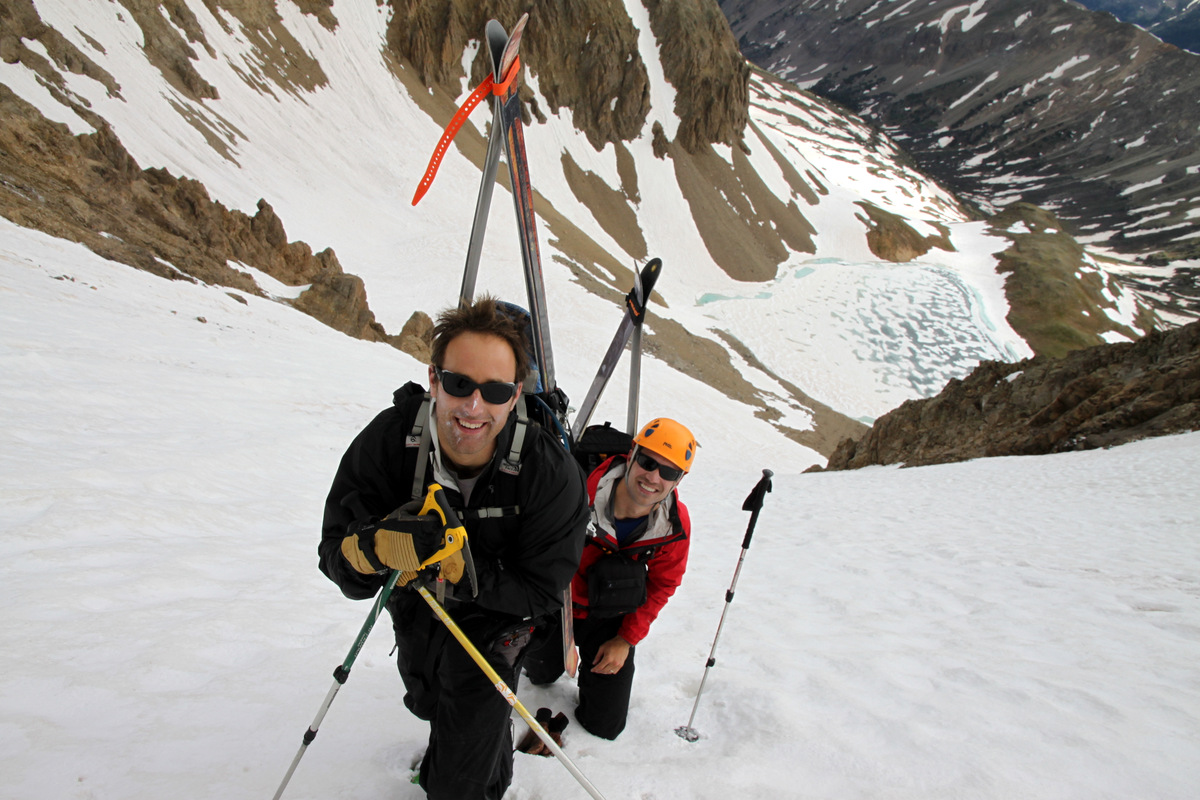
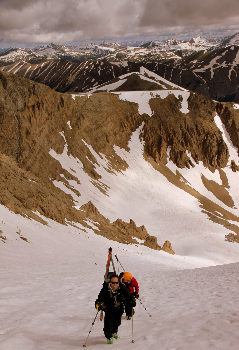
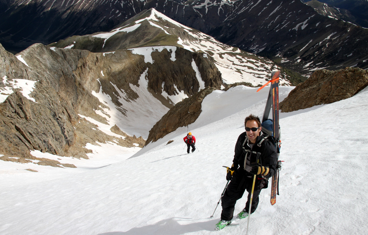
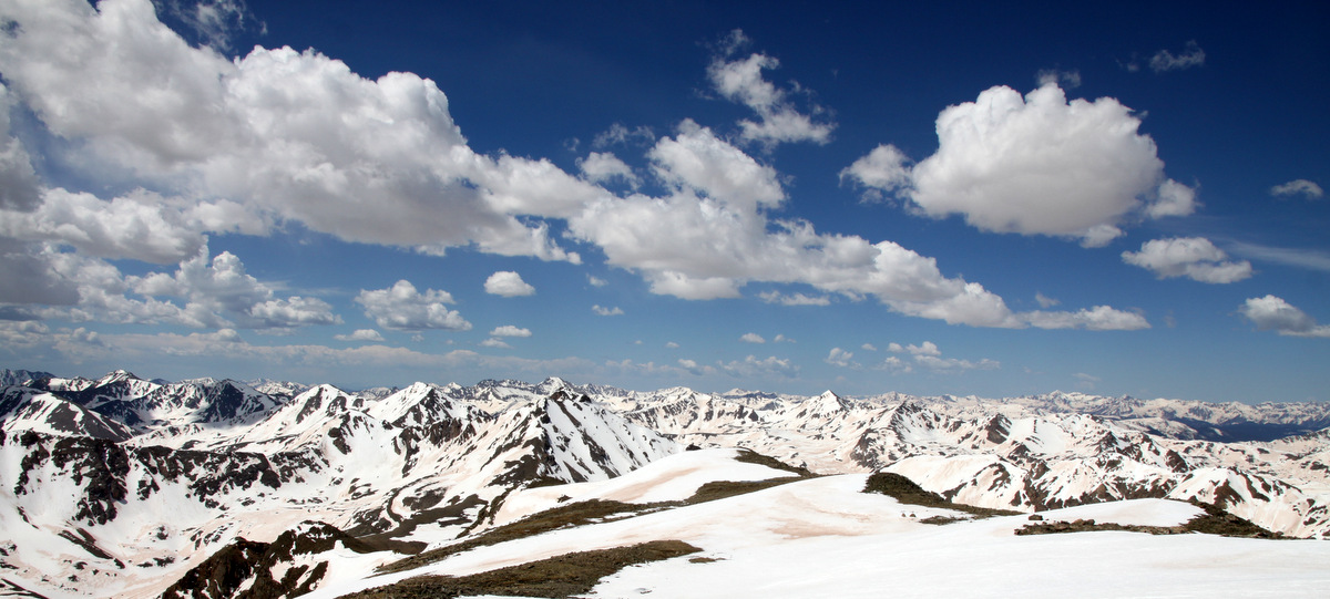
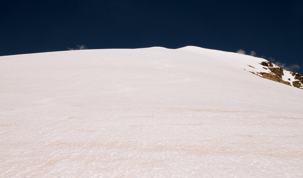
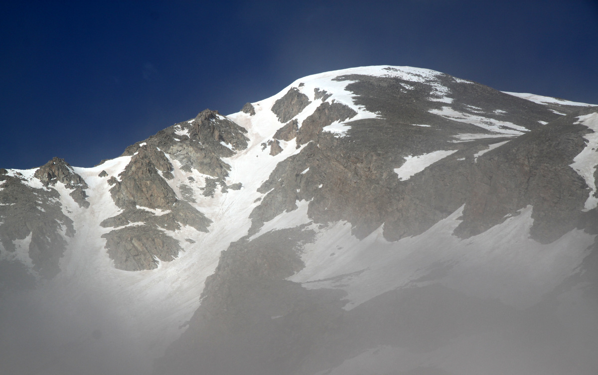
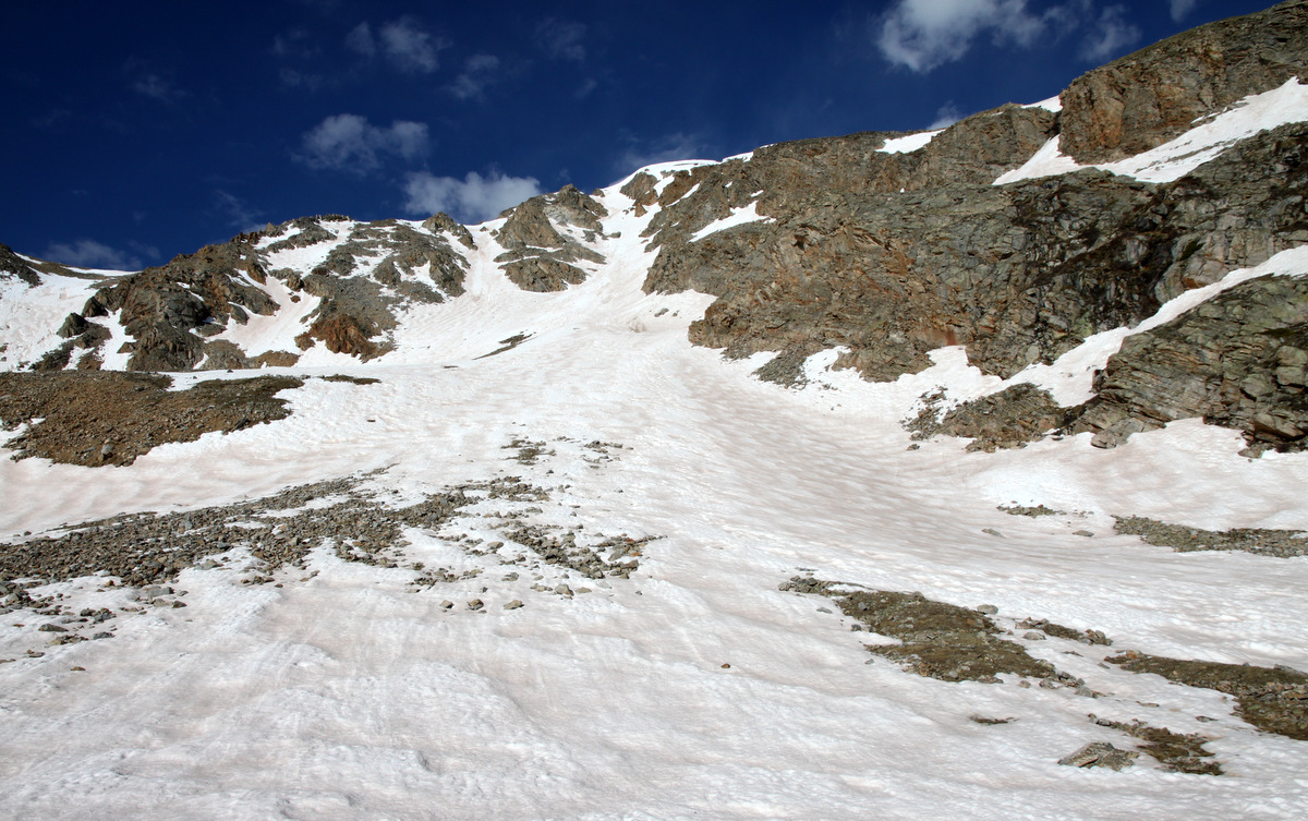
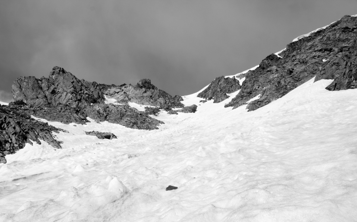
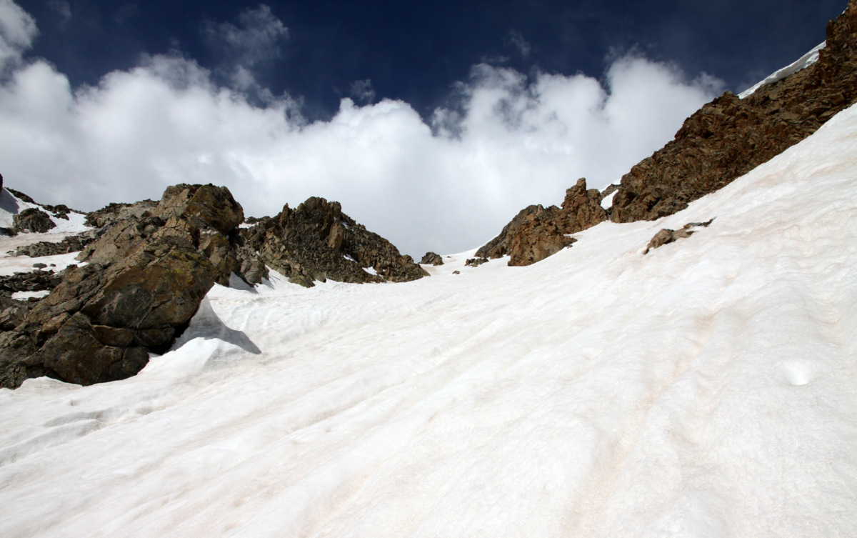
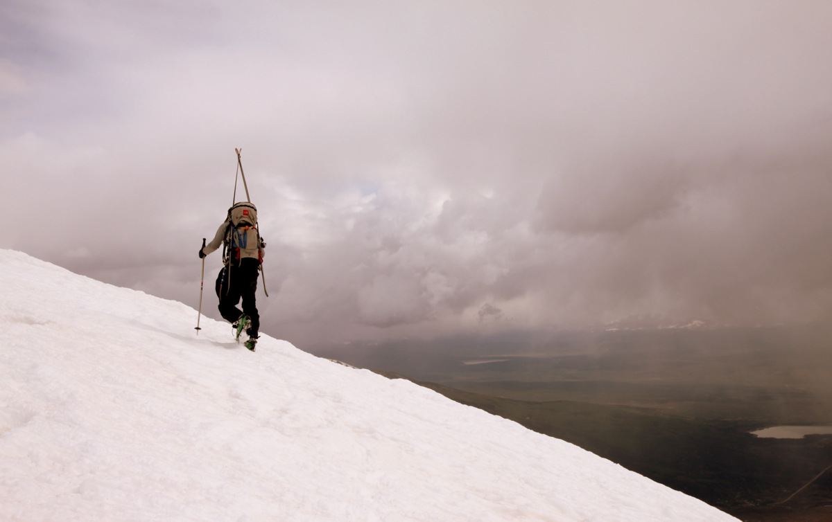
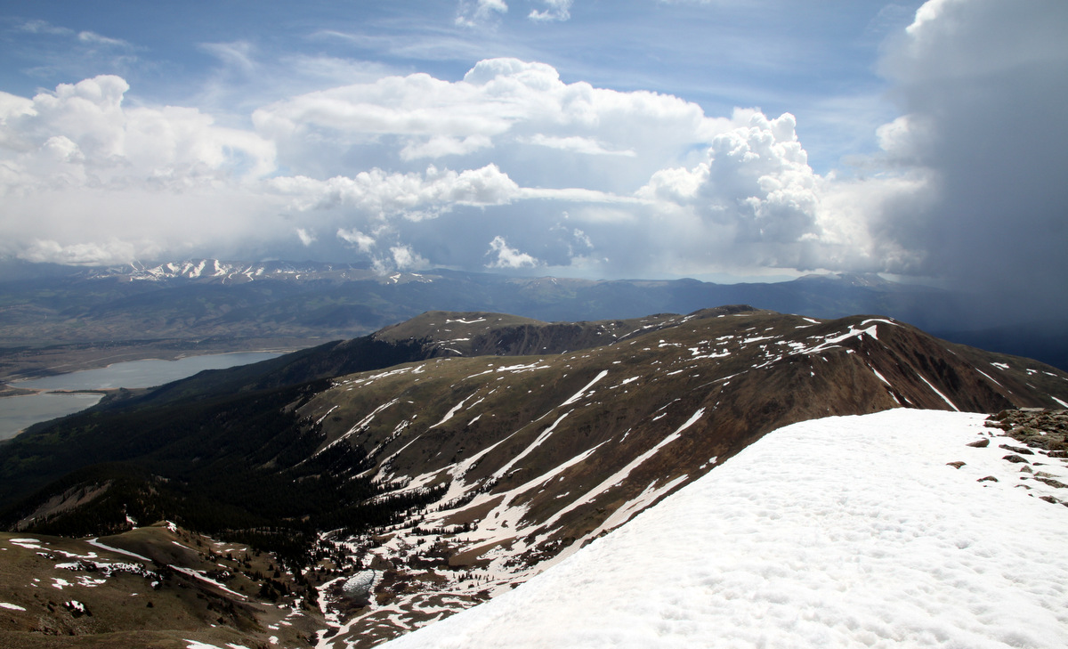
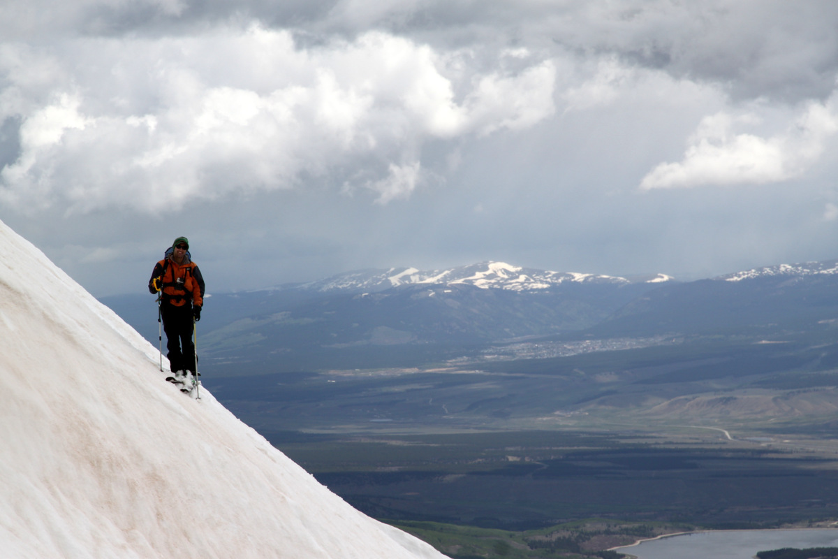
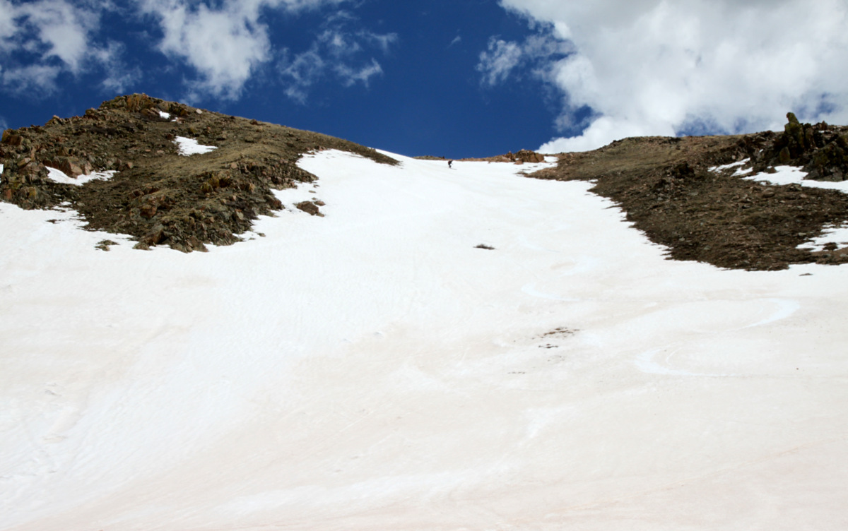
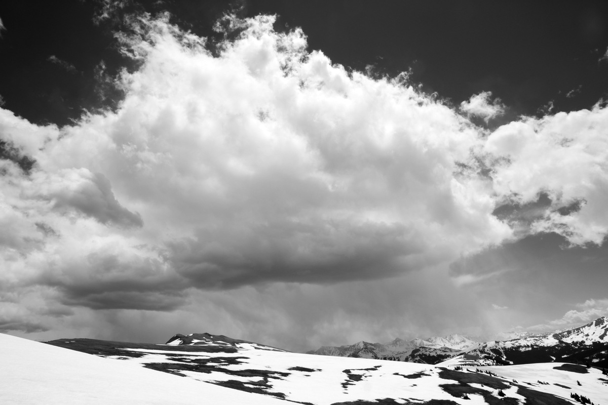
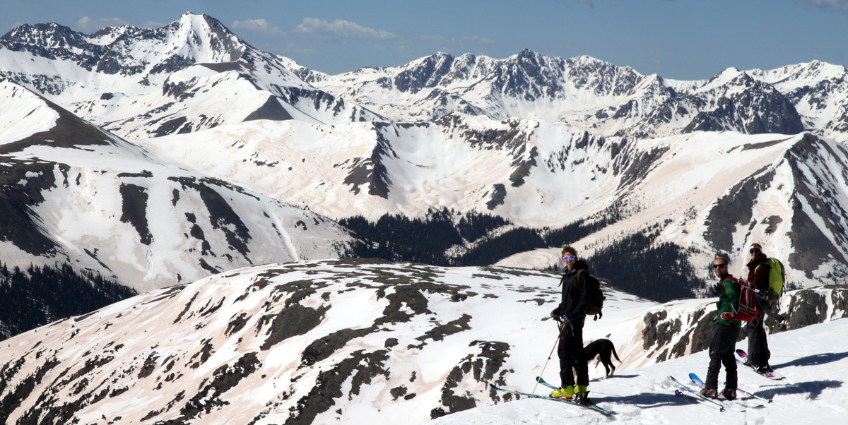
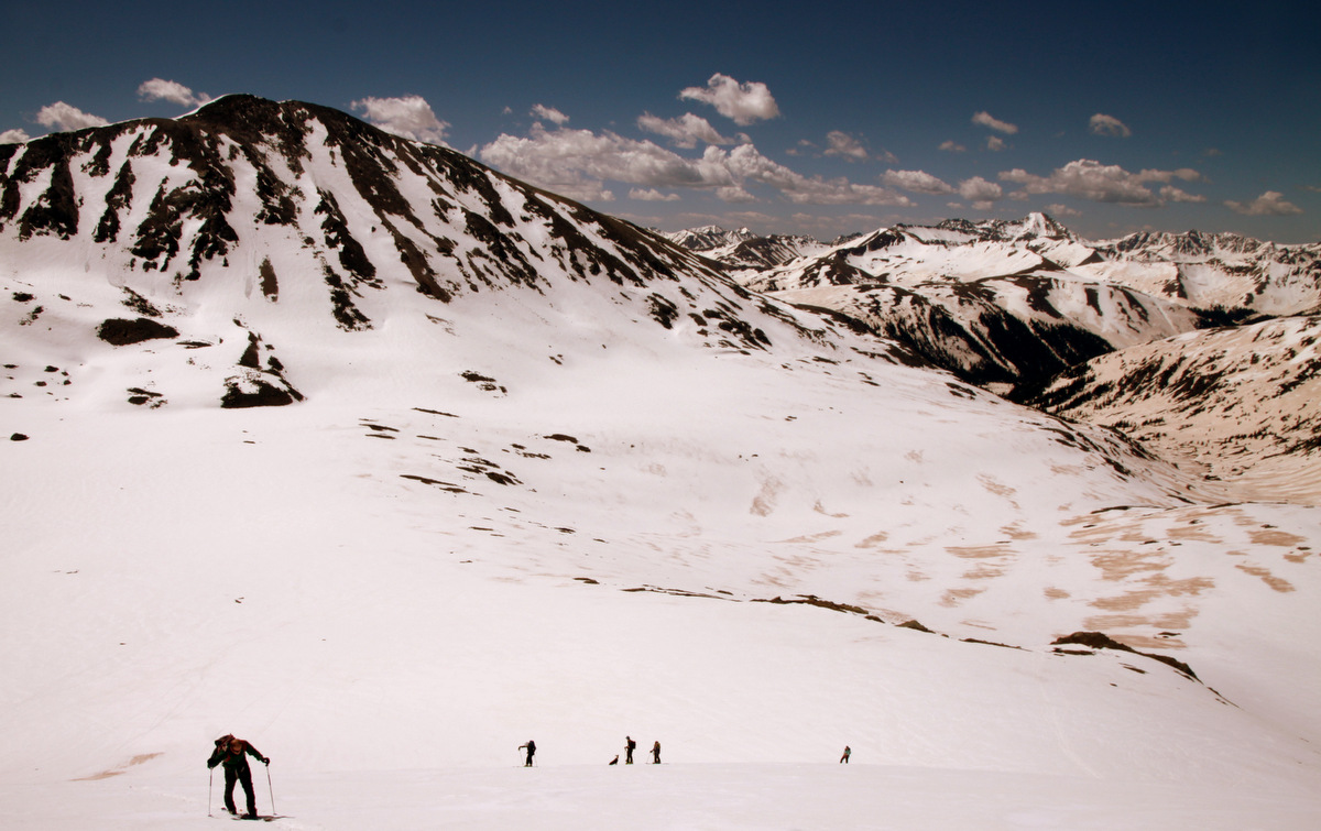
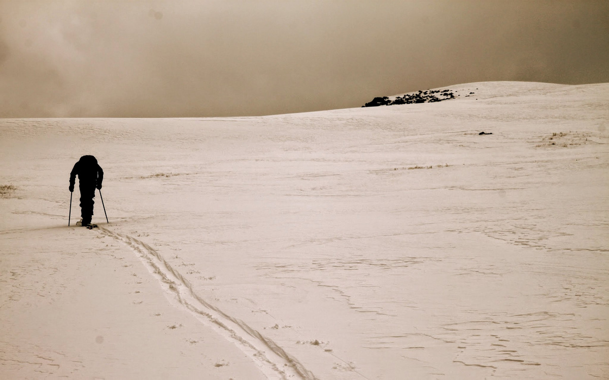
The upper southwest face of West Deming above treeline was a very enjoyable skin with great views. The ominous dark clouds almost made for better light and pictures. It took us just shy of an hour to skin the remaining 1,200′ and 1 mile (as the crow flies) to the summit.
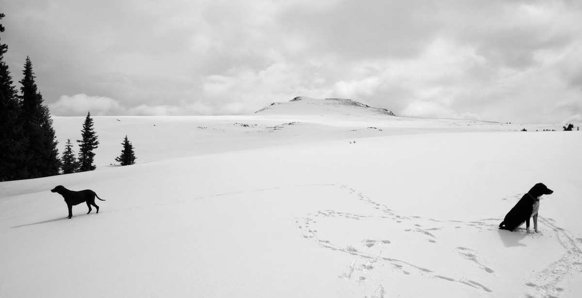
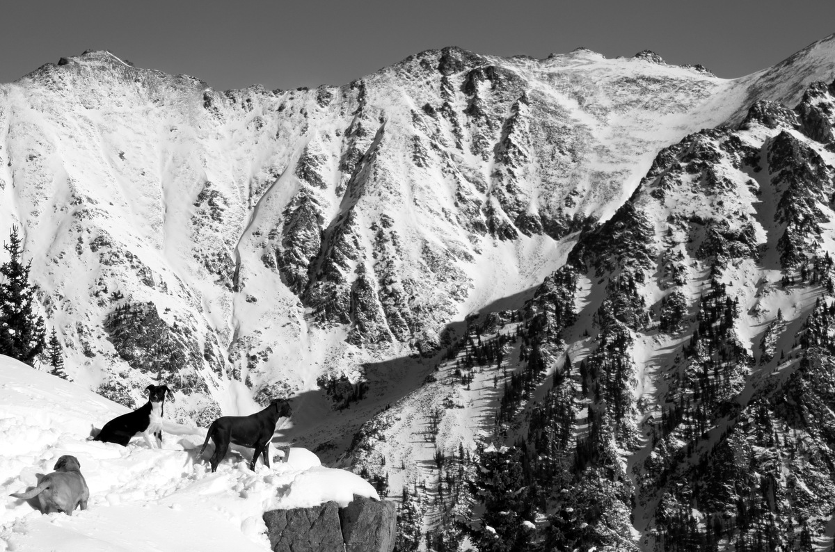
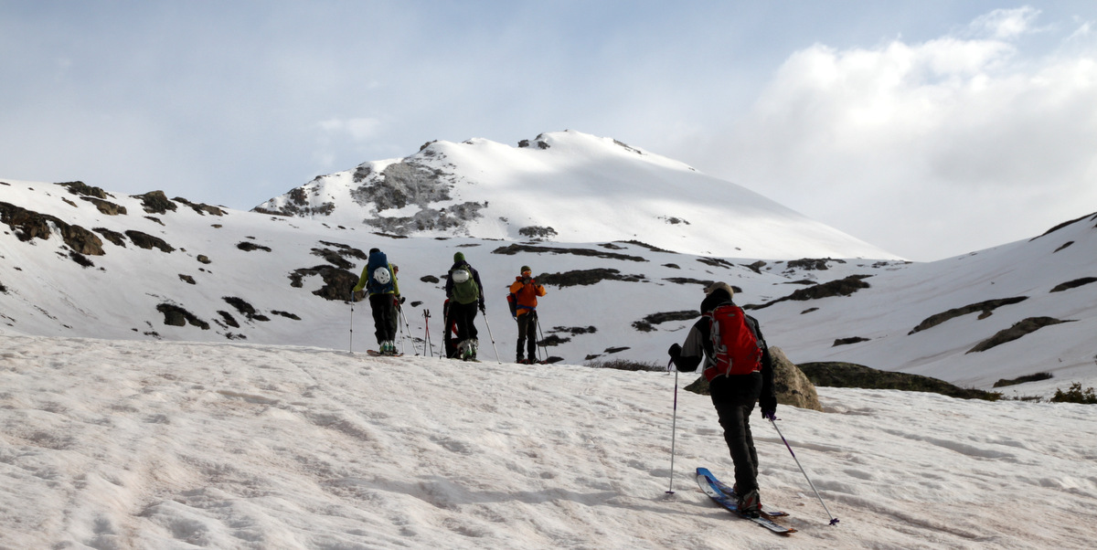
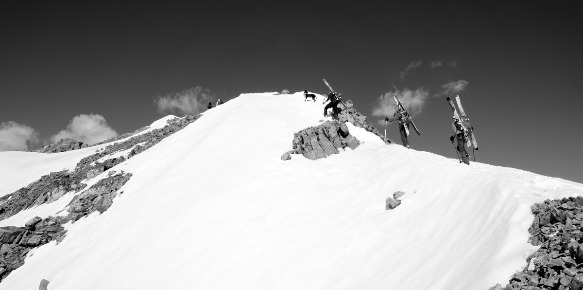
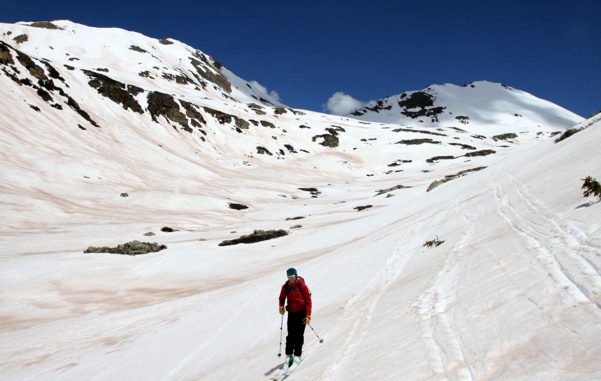
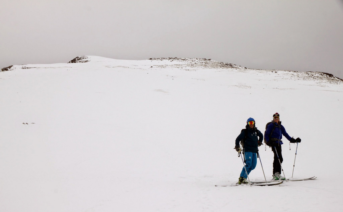
Kona & Molly and the route above treeline to West Deming’s summit
Kristine heading out to the top with the dogs

Kristine & Kona
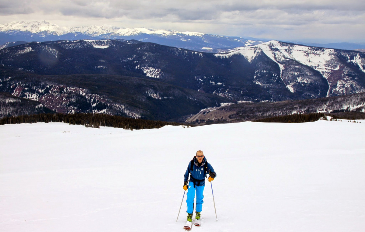
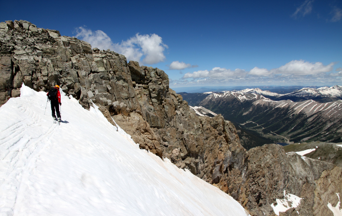
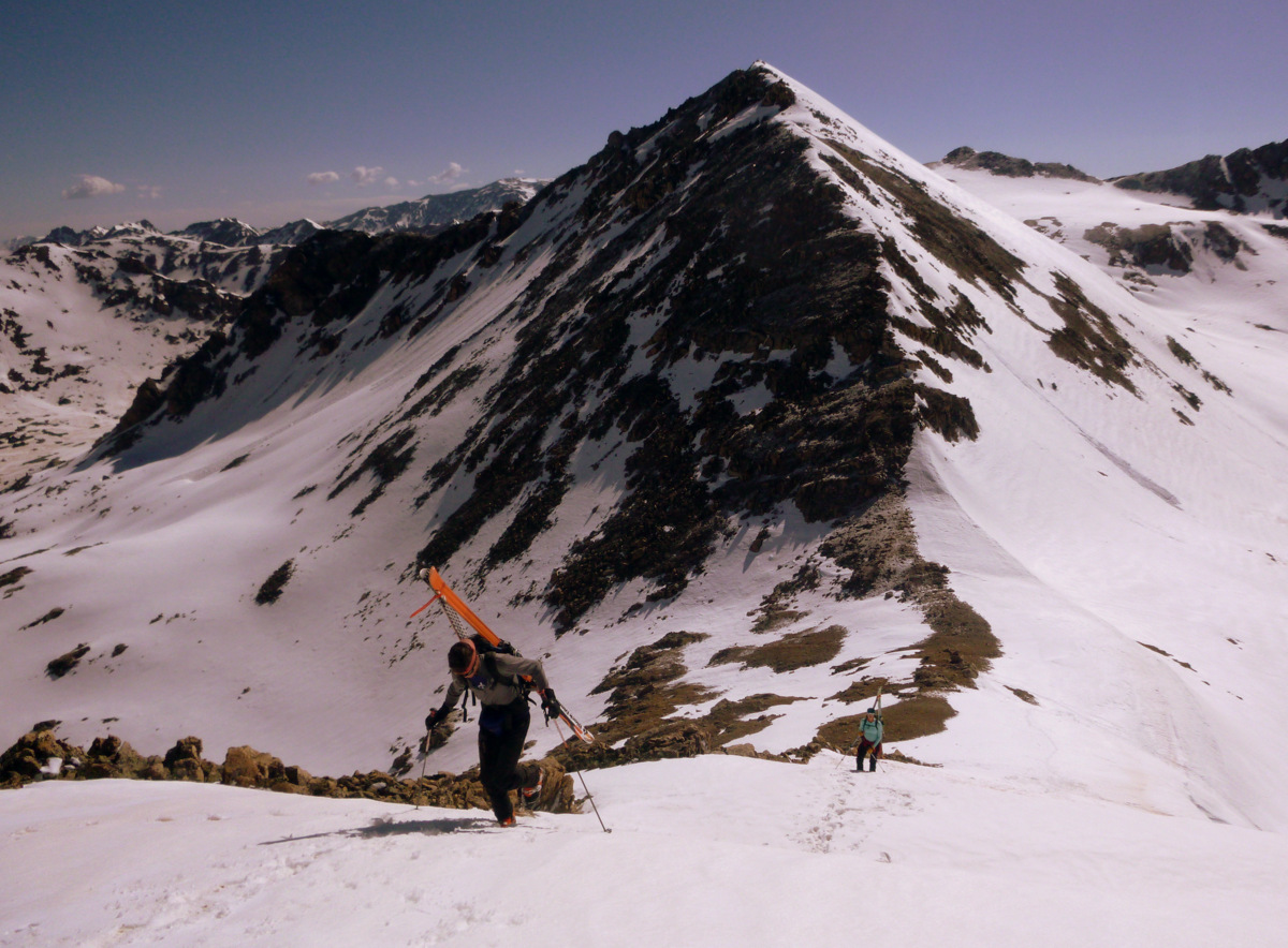
Joel skinning the upper southwest face with the East Vail Chutes/Benchmark Bowl over his left shoulder
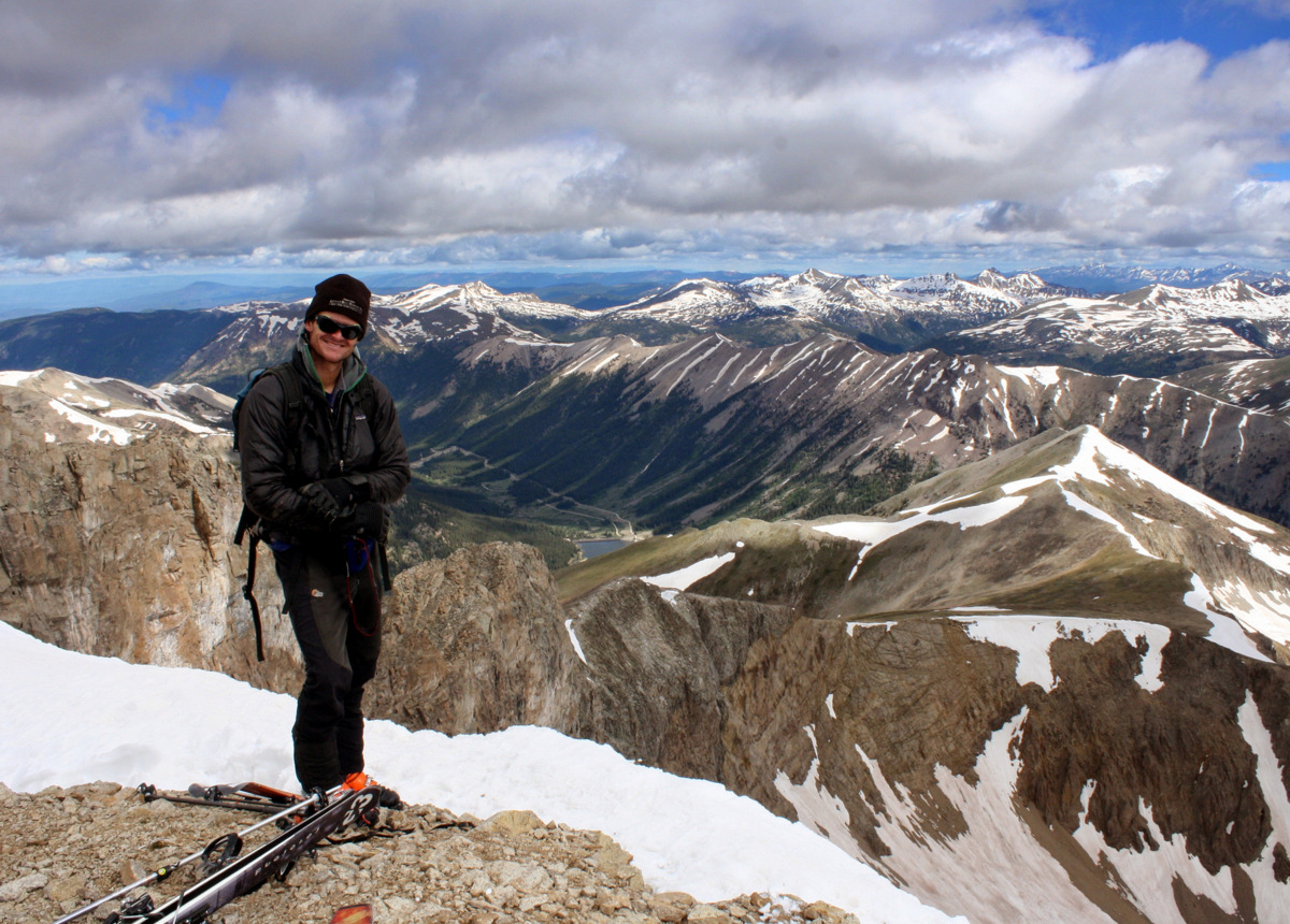
Joel charging ahead to the summit
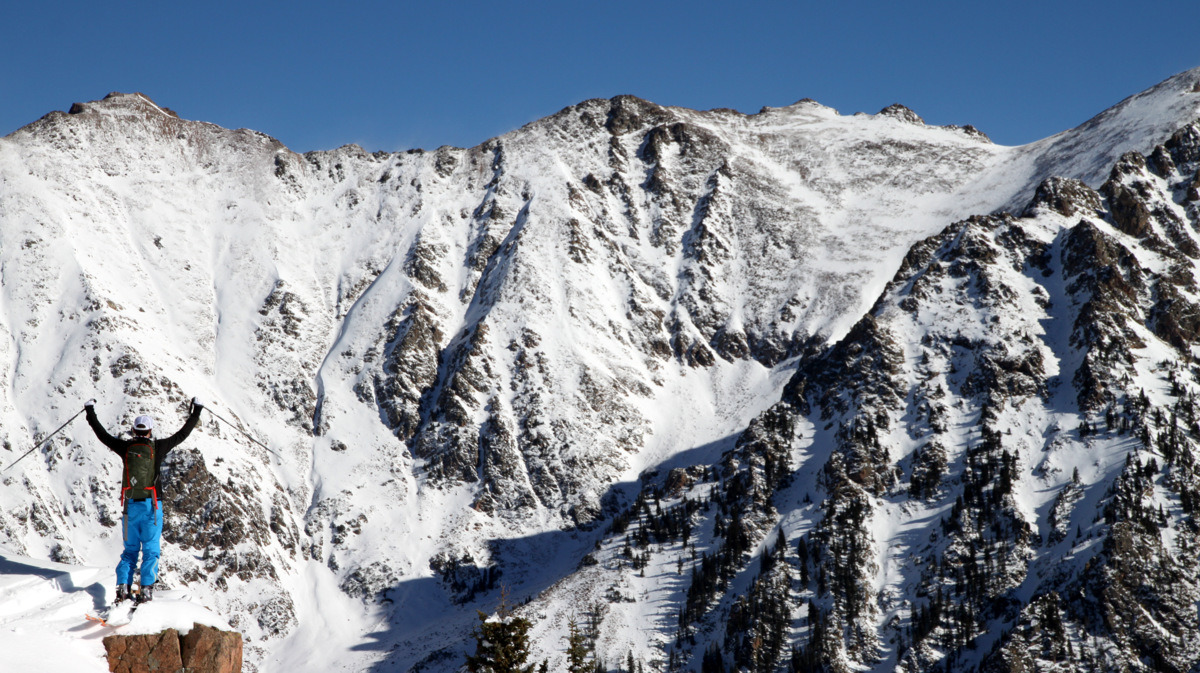
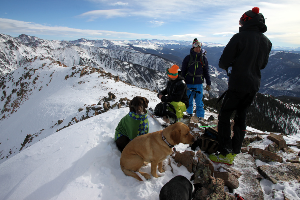
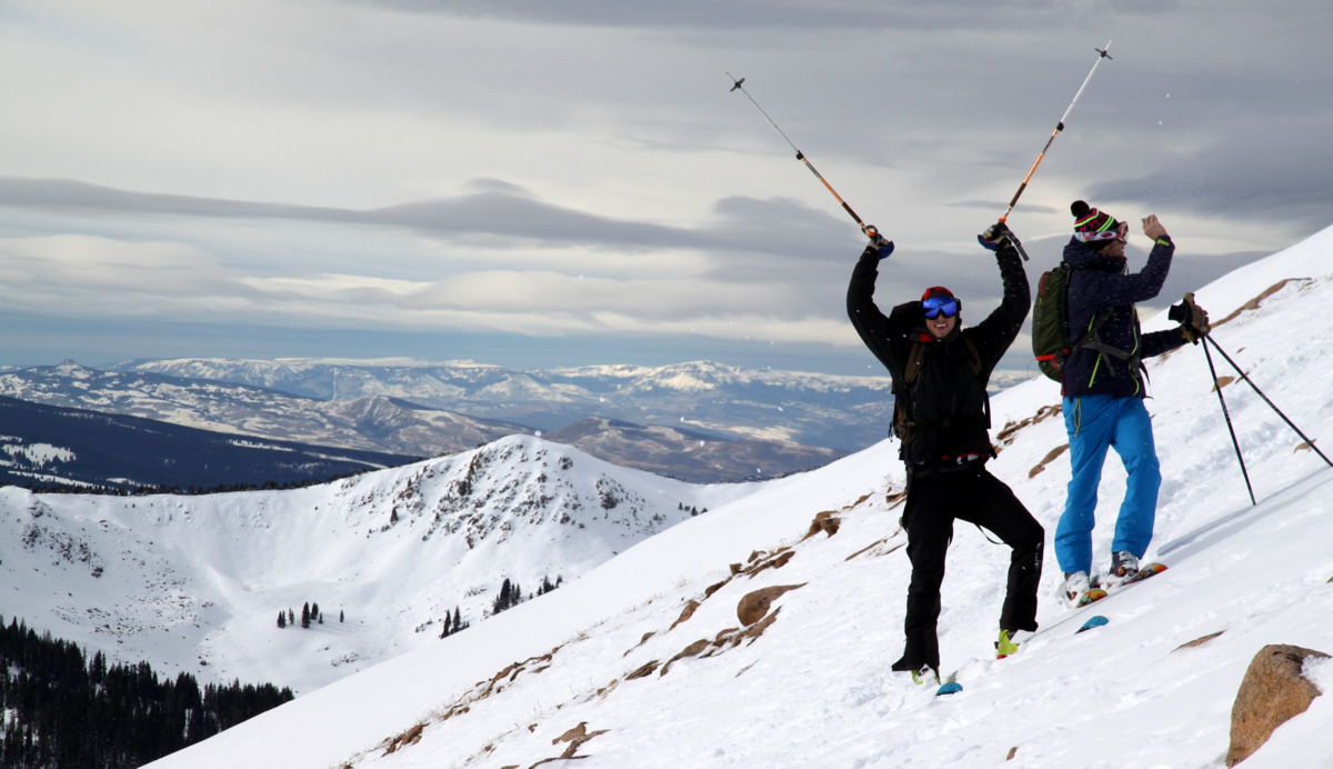
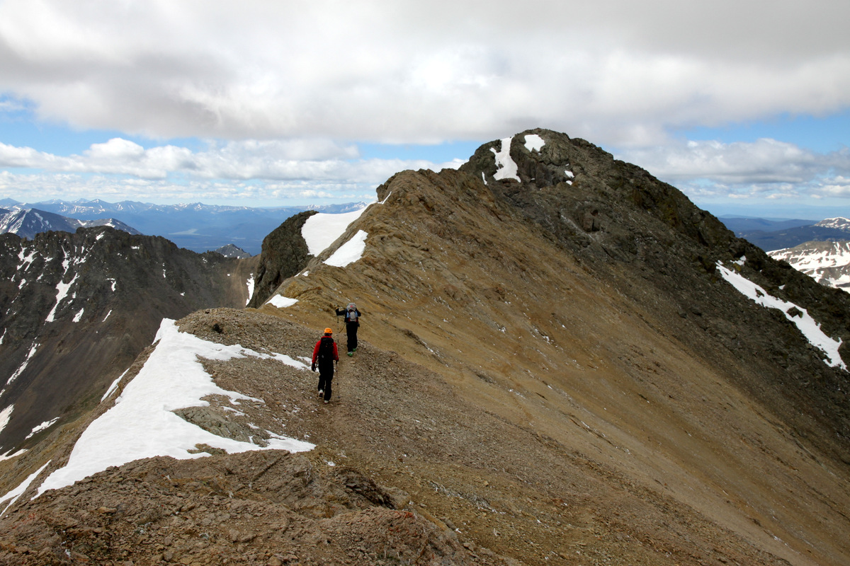
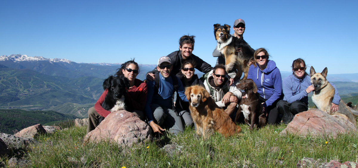
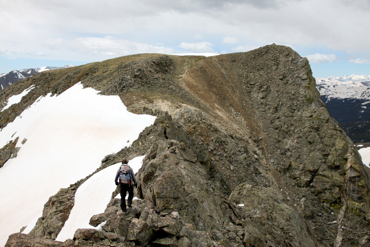
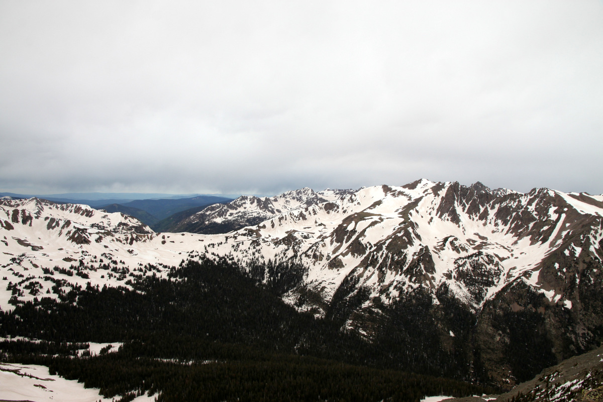
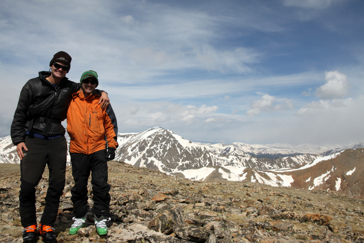
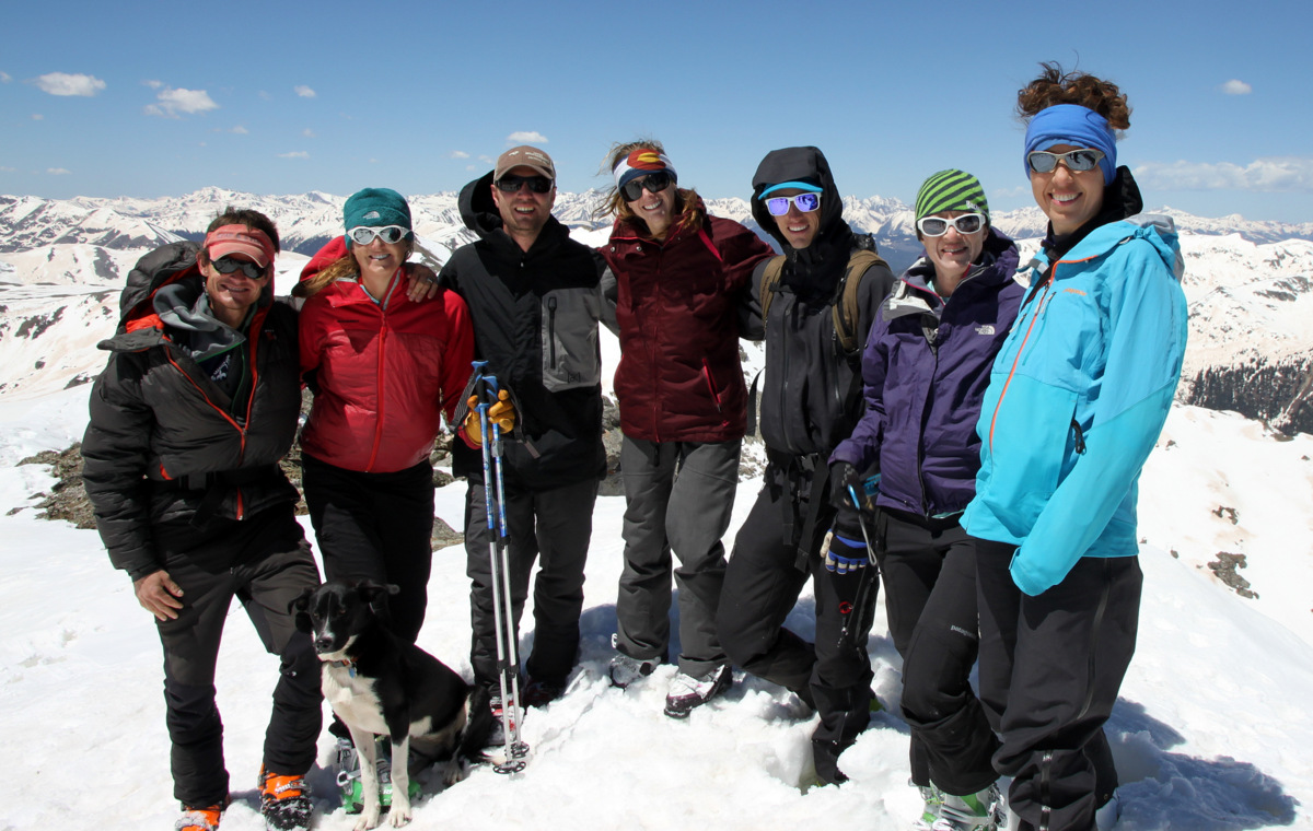
West Deming’s summit was indeed a fantastic perch to view the southern Gore. In fact, in every direction we could point out past camping spots, such as at the Zodiac Ponds below Zodiac Ridge, and all the familiar peaks and ridges of the Gore Range. We remained on the summit for a good 20-25 minutes and admired our views and the good company.

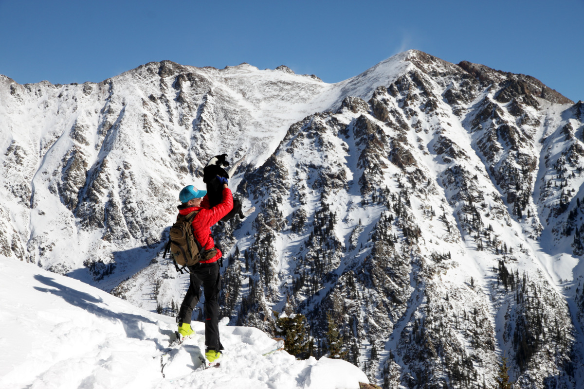
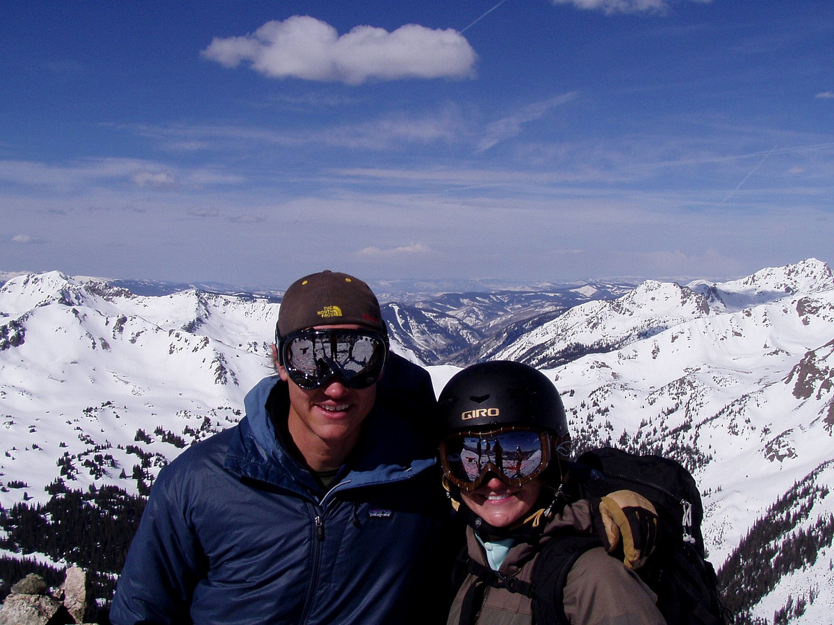
Kristine, Joel, & the dogs up top West Deming

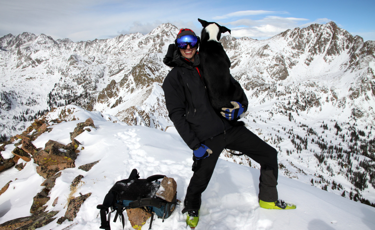
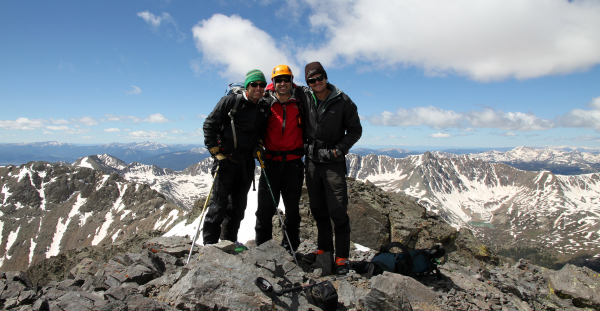
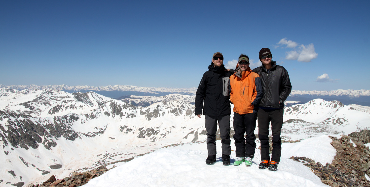
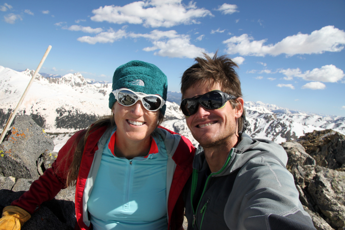
The Chalks on top of West Deming (12,736′)
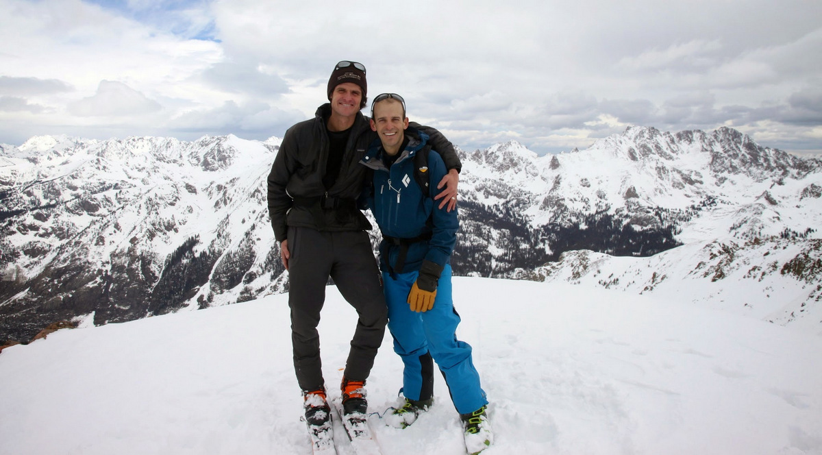
Mr. Gratz & myself
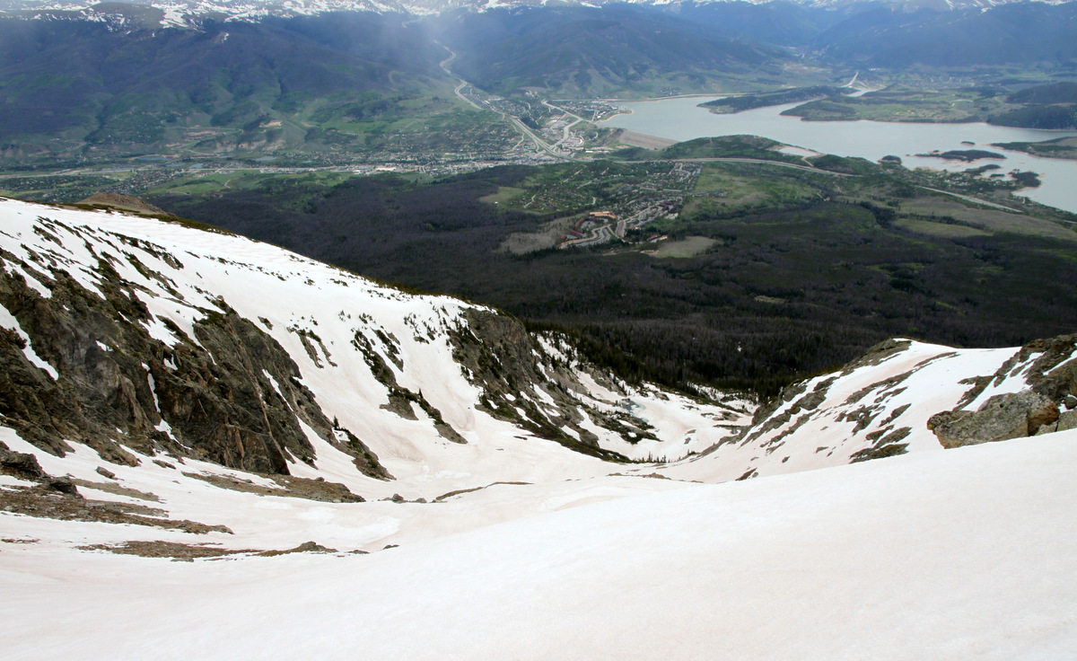
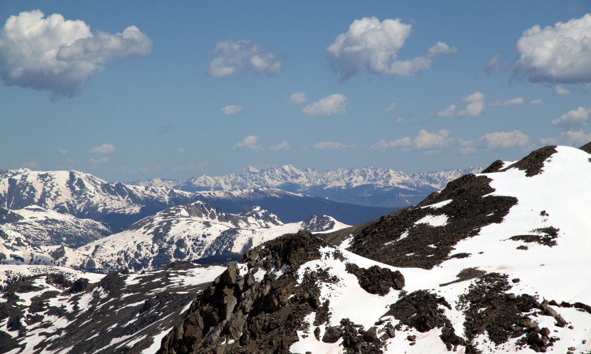
Summit view west to the Vail Valley

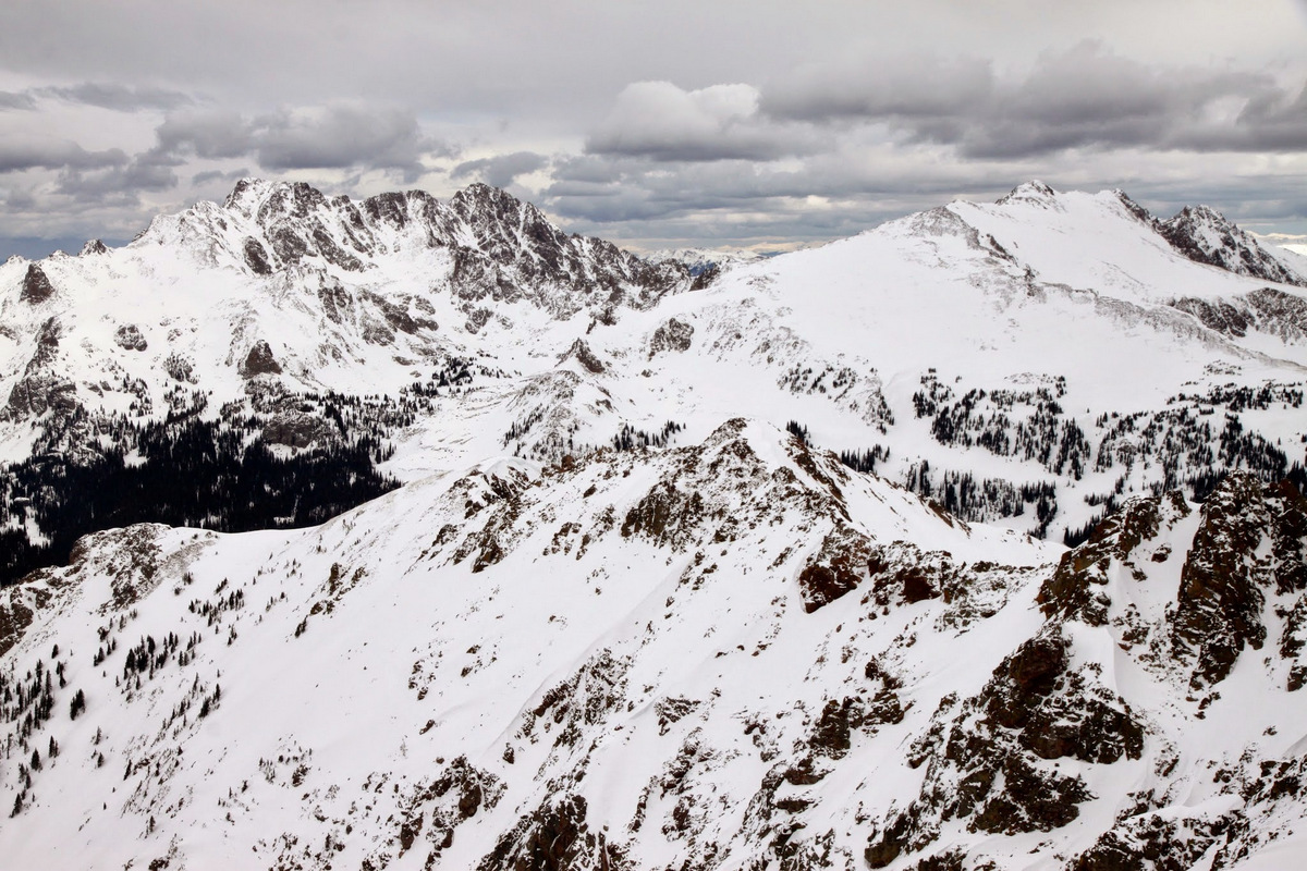
Close-up of our “Top of the World” campsite (right summit of gladed bowl) we frequent in the summer and fall

East Vail Chutes, aka Benchmark Bowl, off Vail Ski Mountain
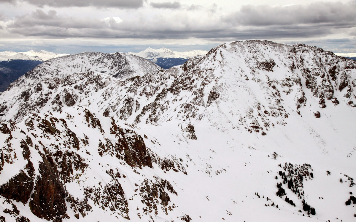
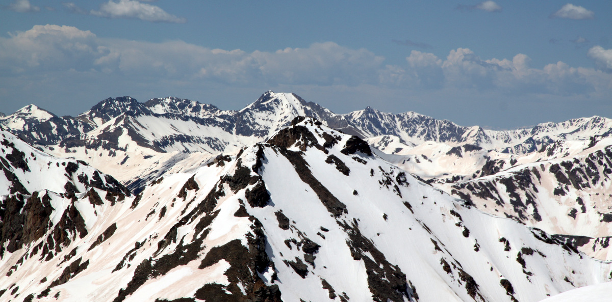
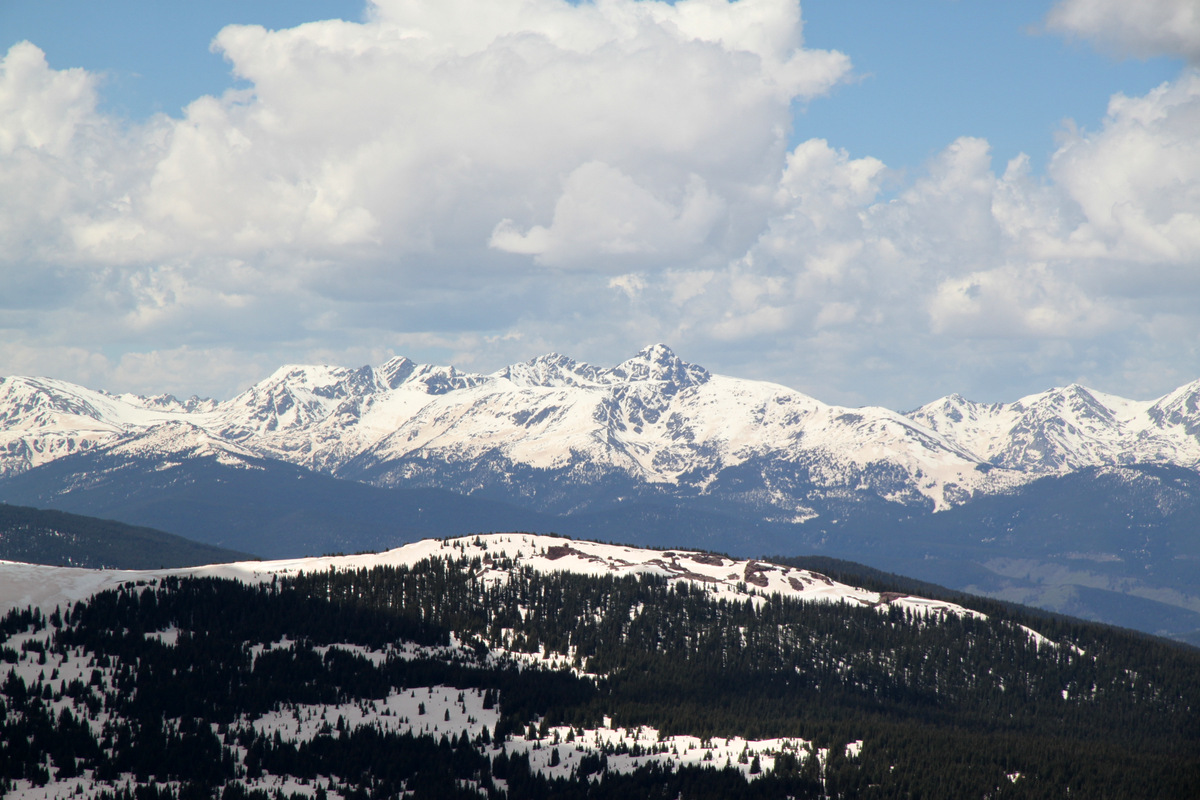
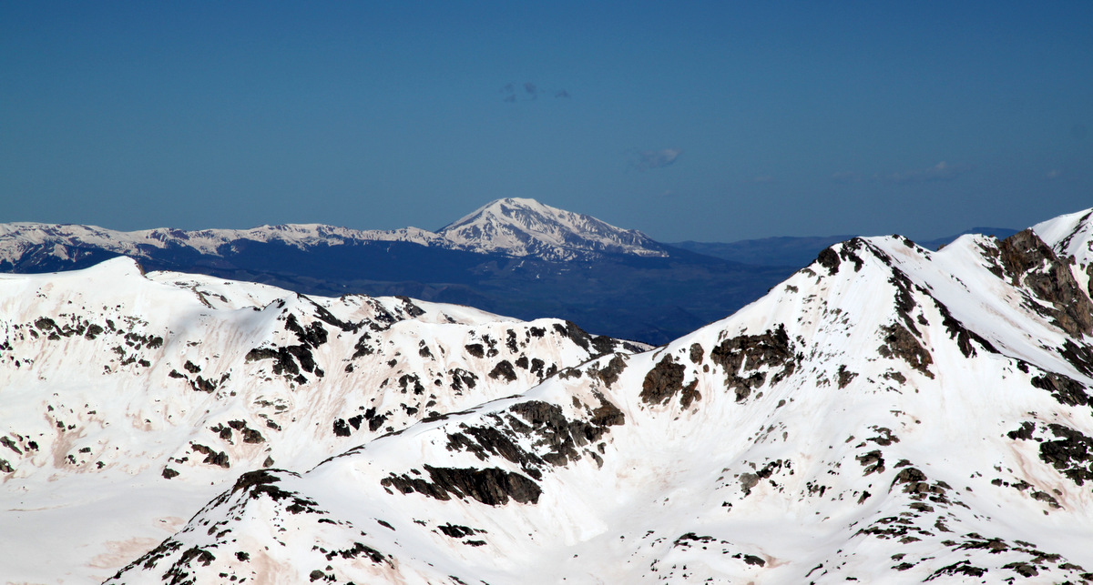
Looking east to Deming Mountain & Buffalo Mountain (left)
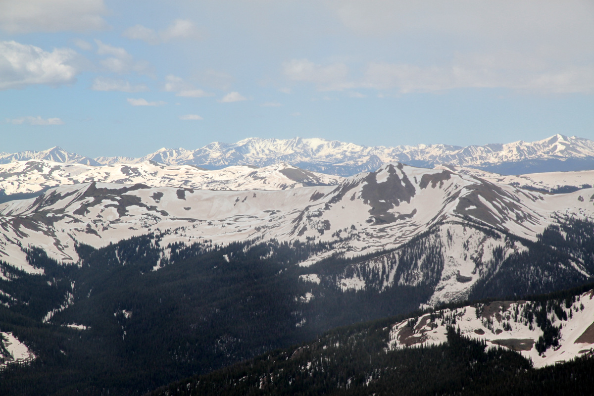
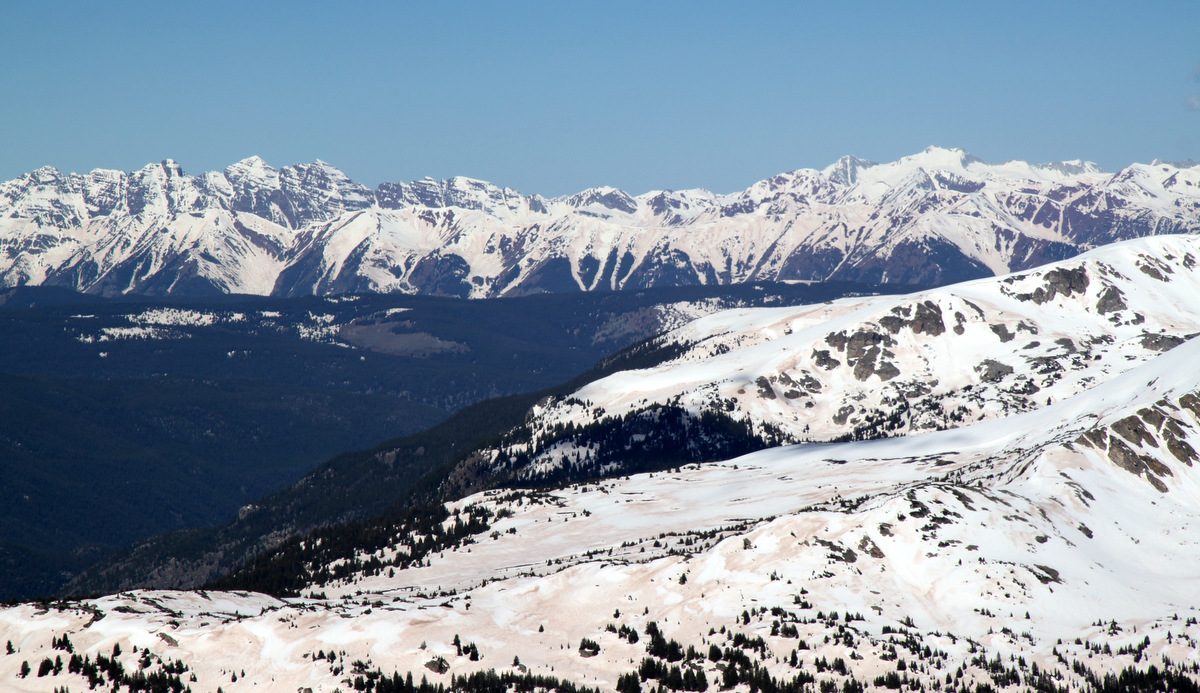
Looking northeast to Red Peak (right), Zodiac Ridge, & the Silverthorne Massif
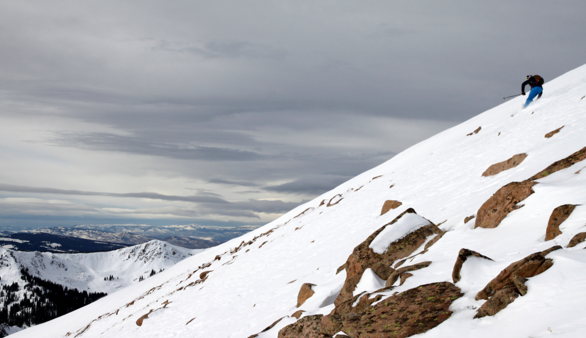
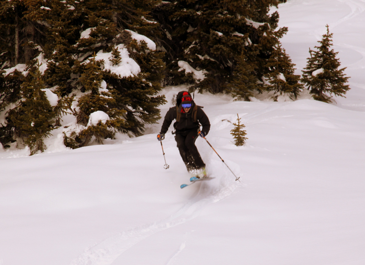
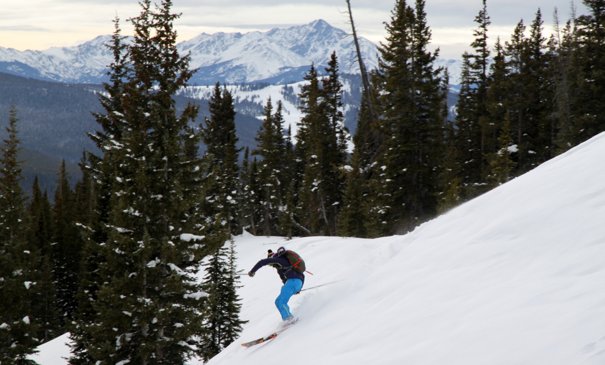
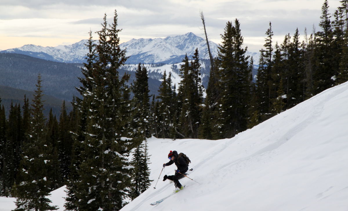
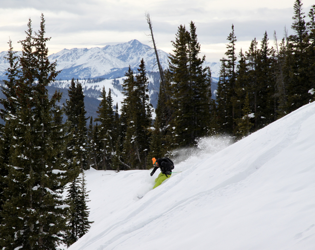
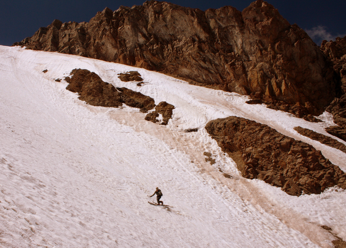
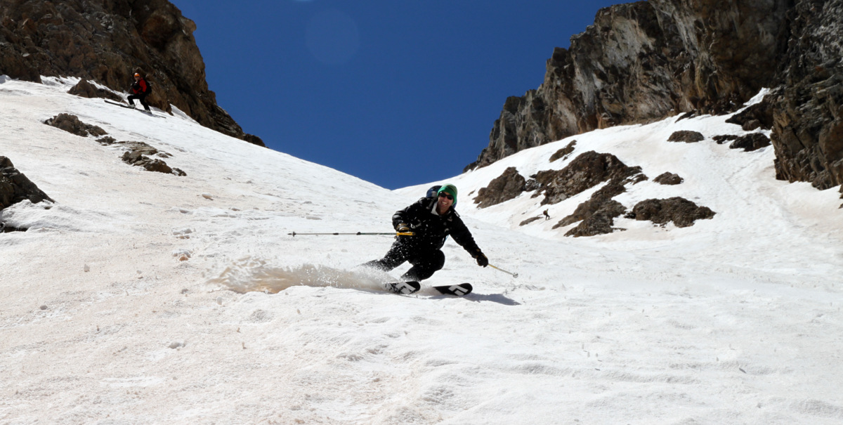
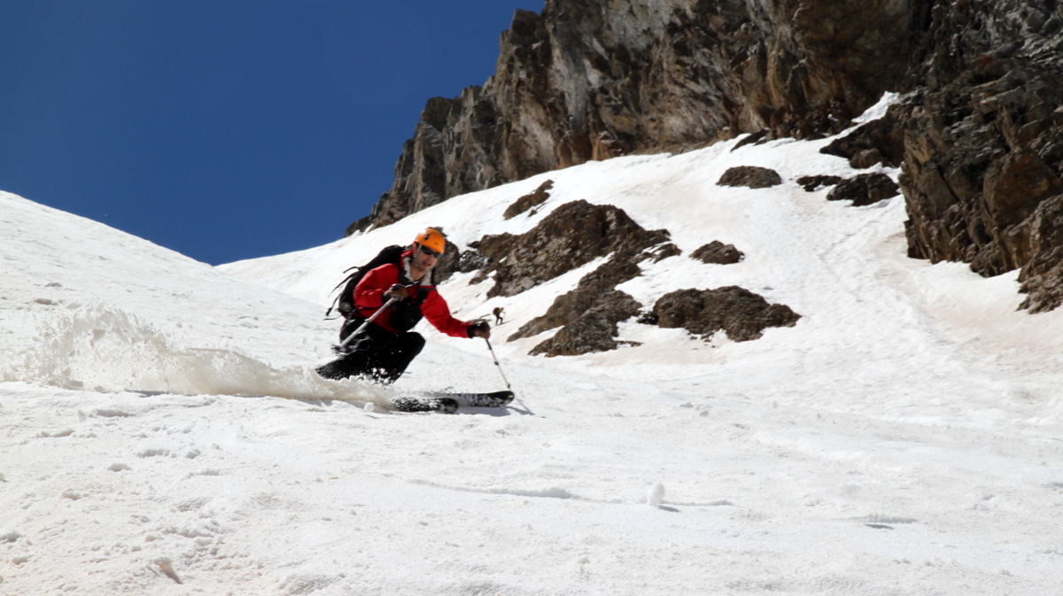
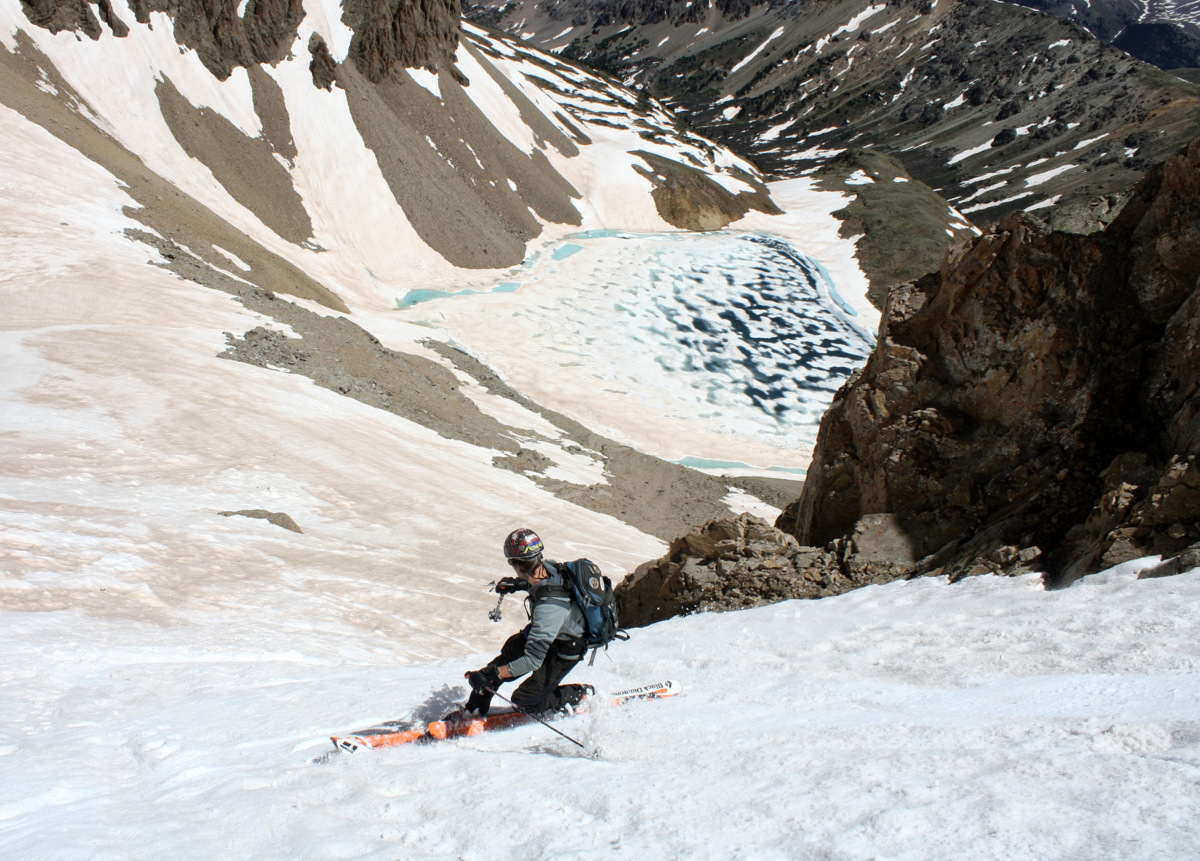
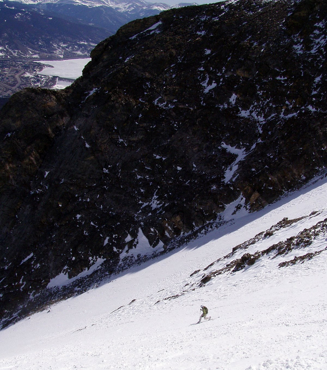
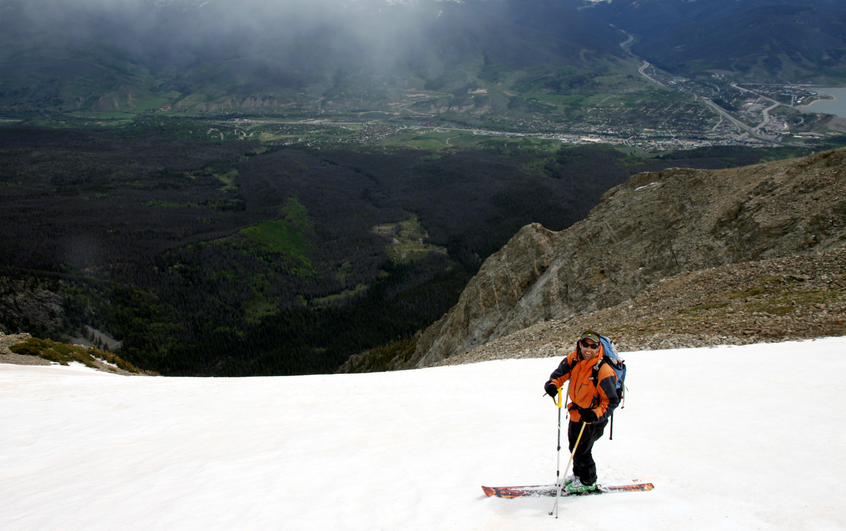
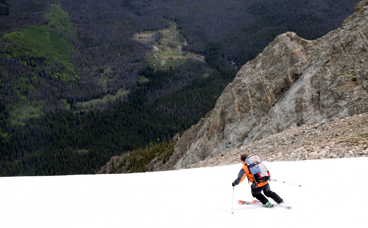
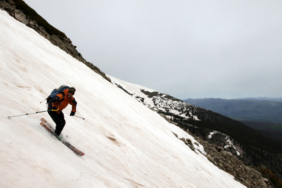
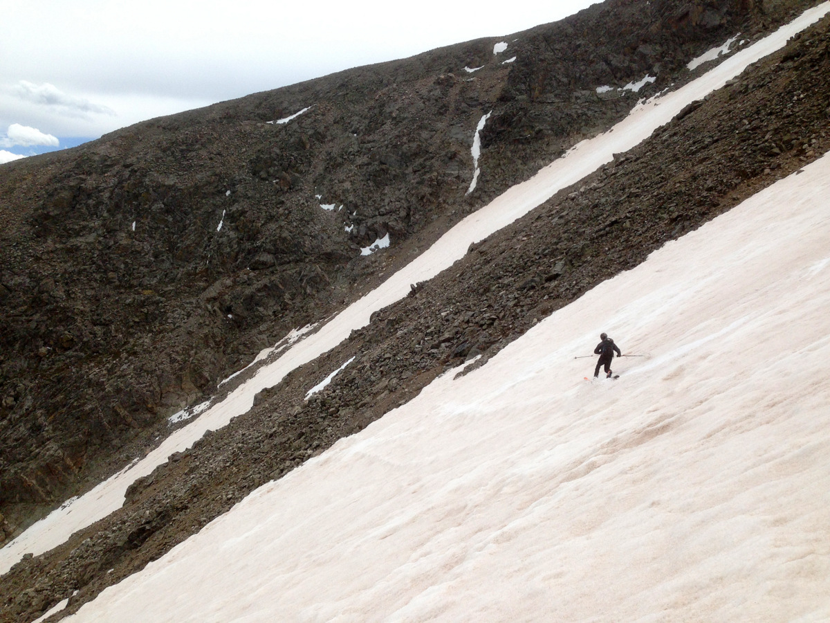
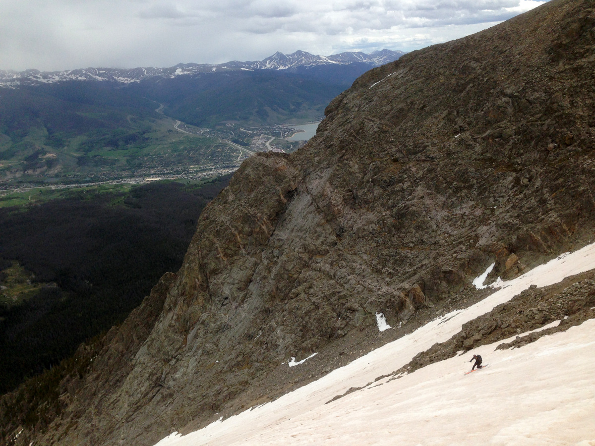
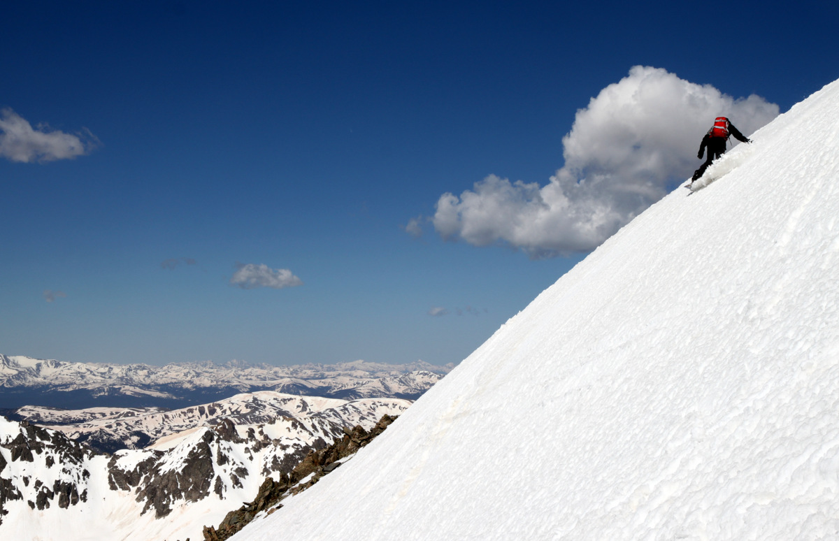
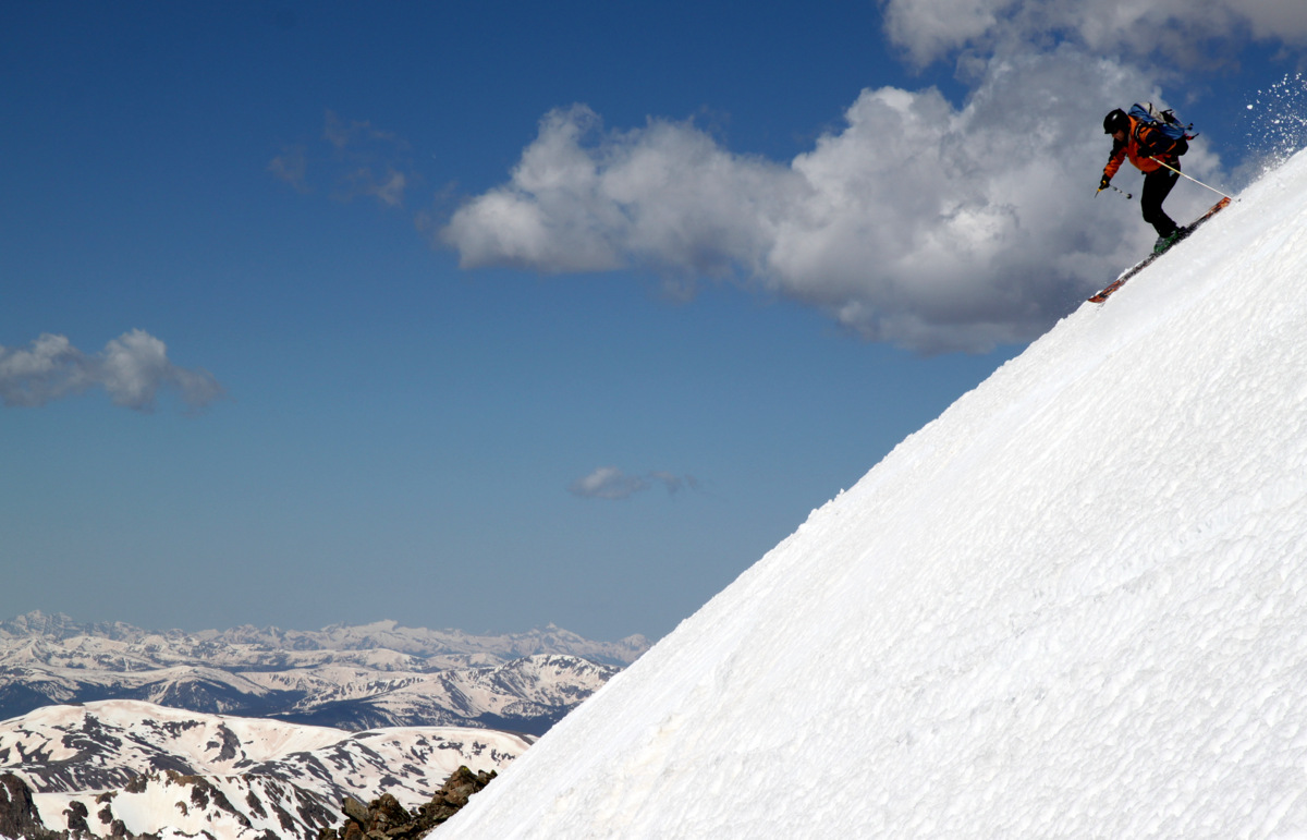
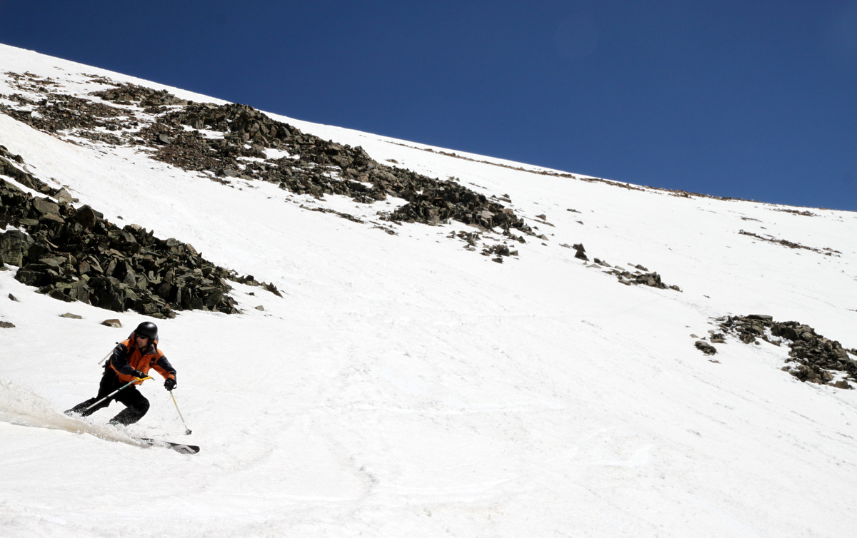
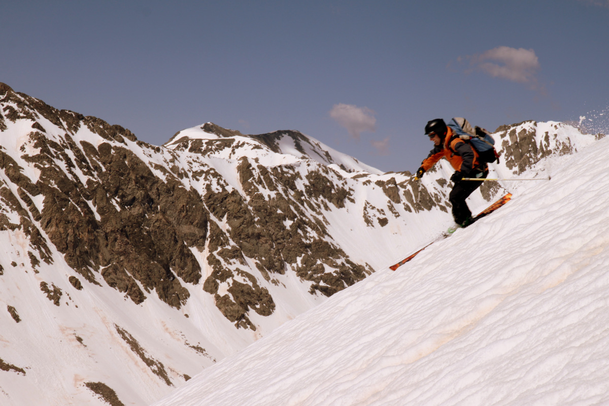
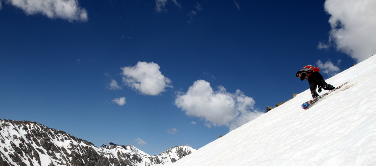
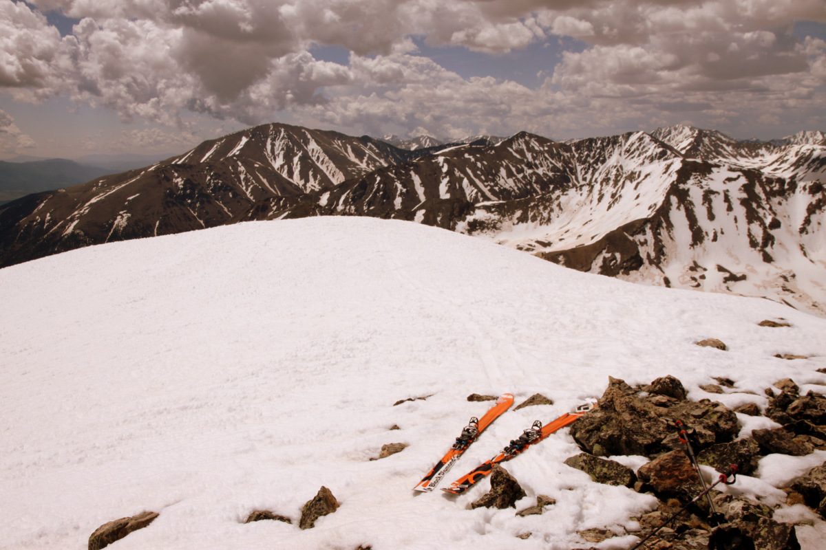
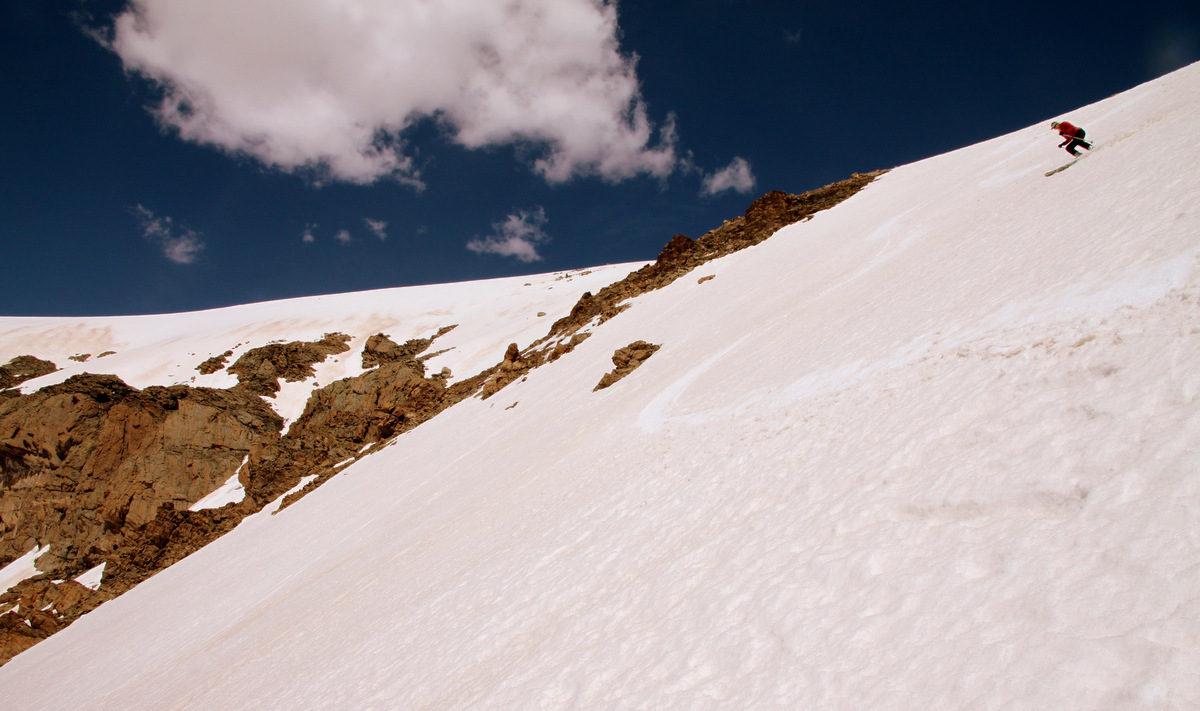
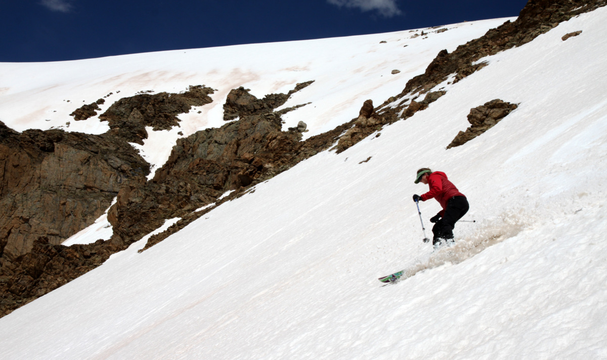
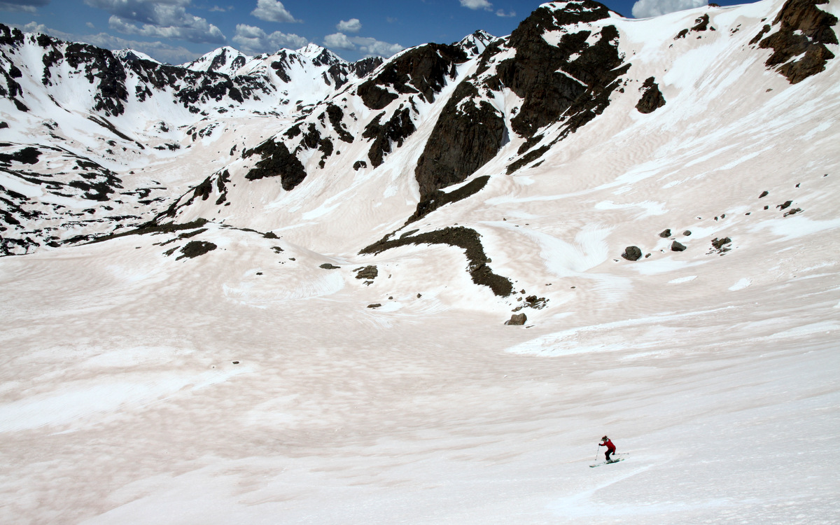
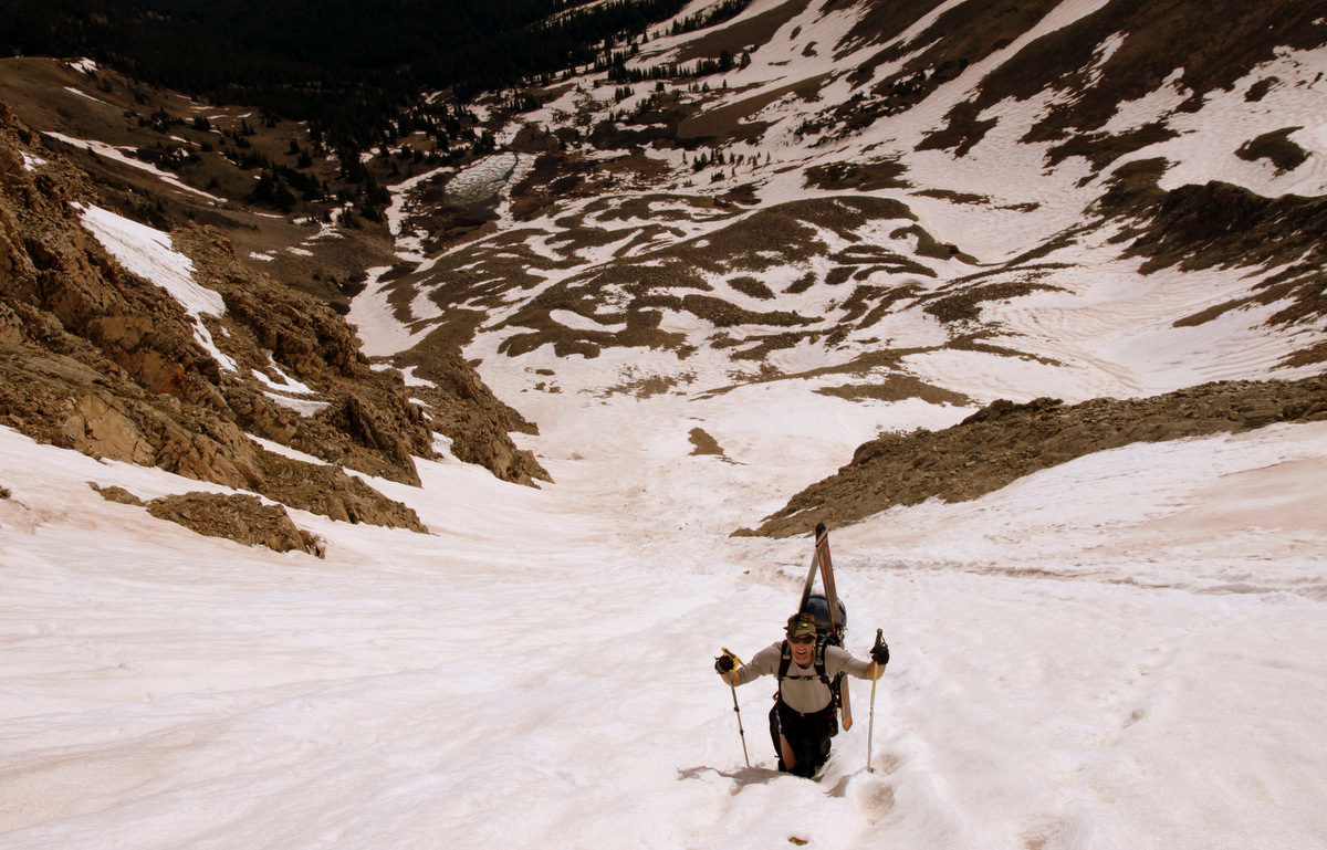
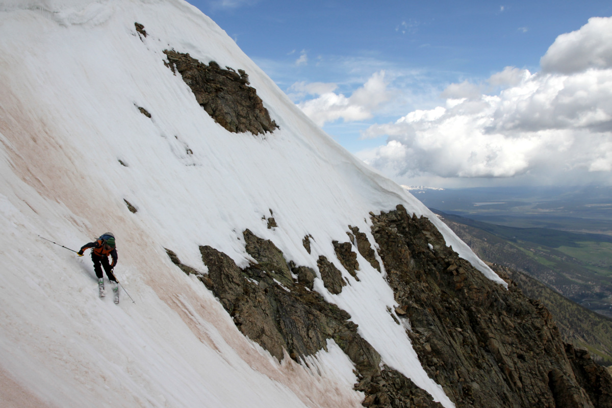
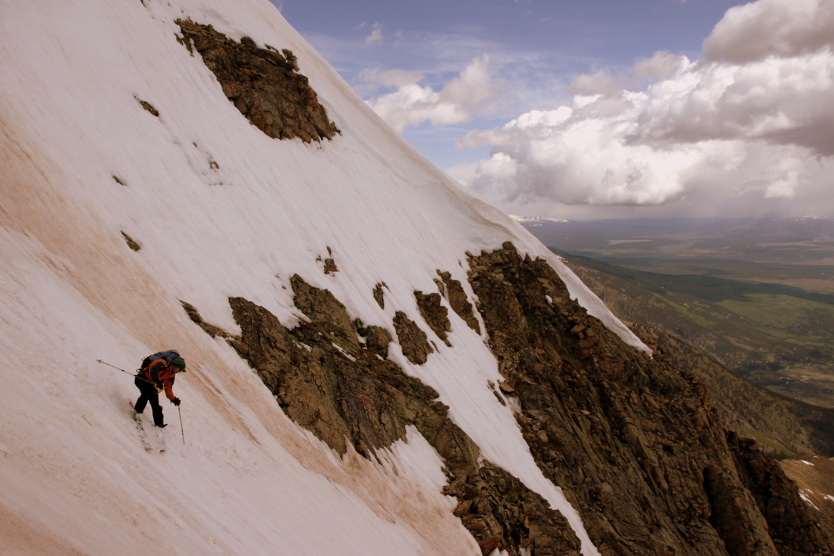
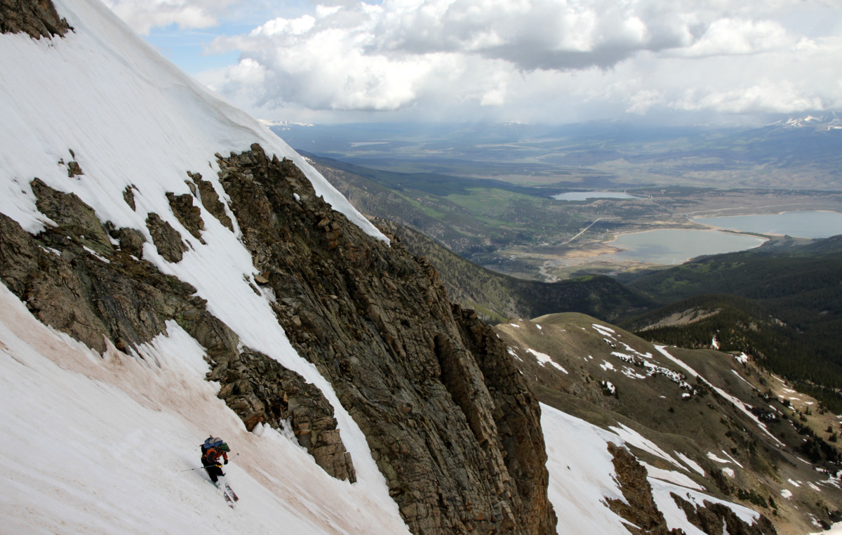
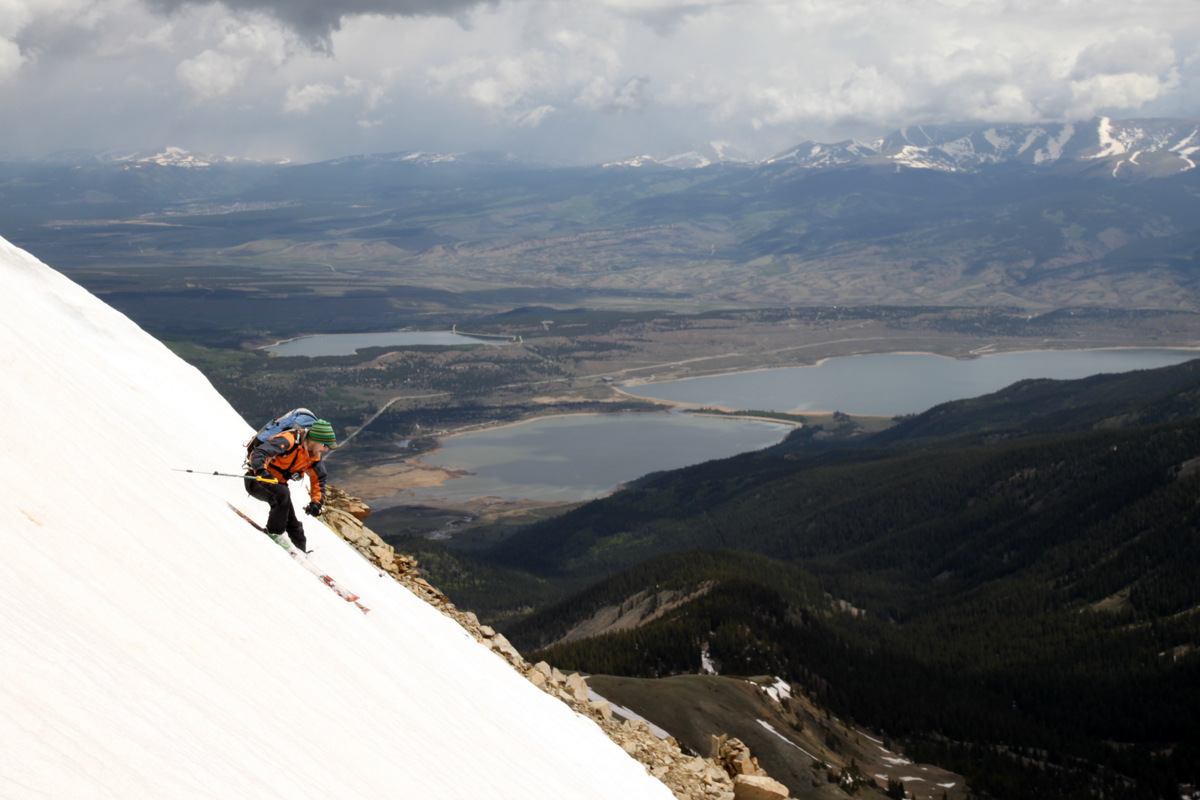
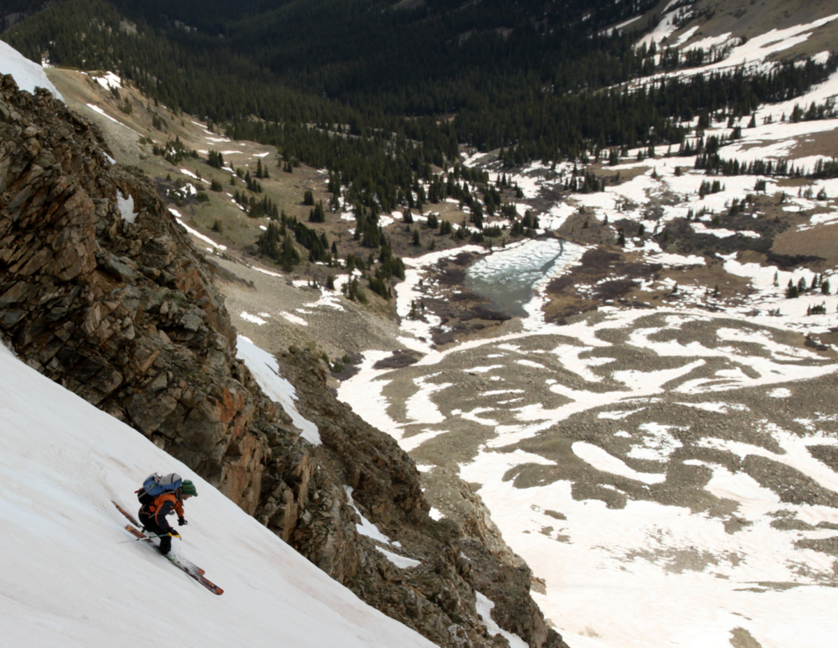
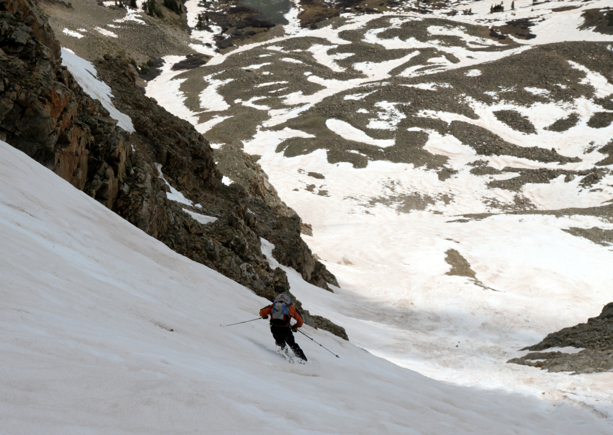
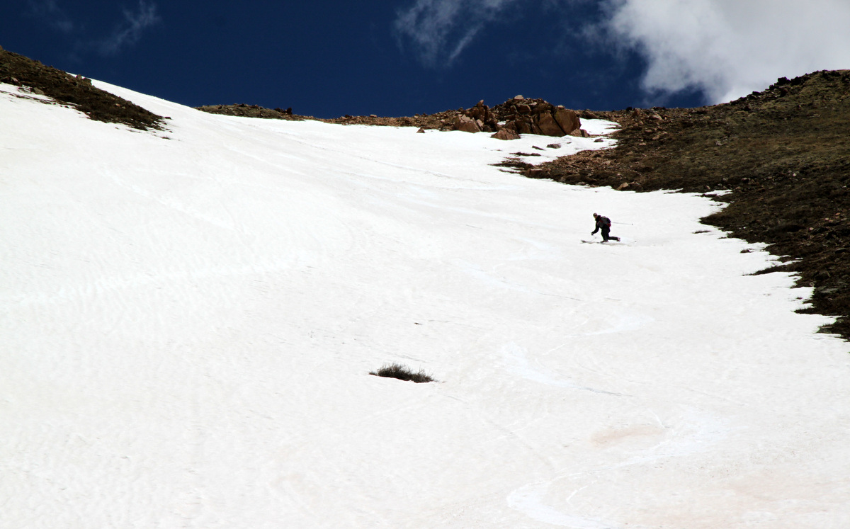
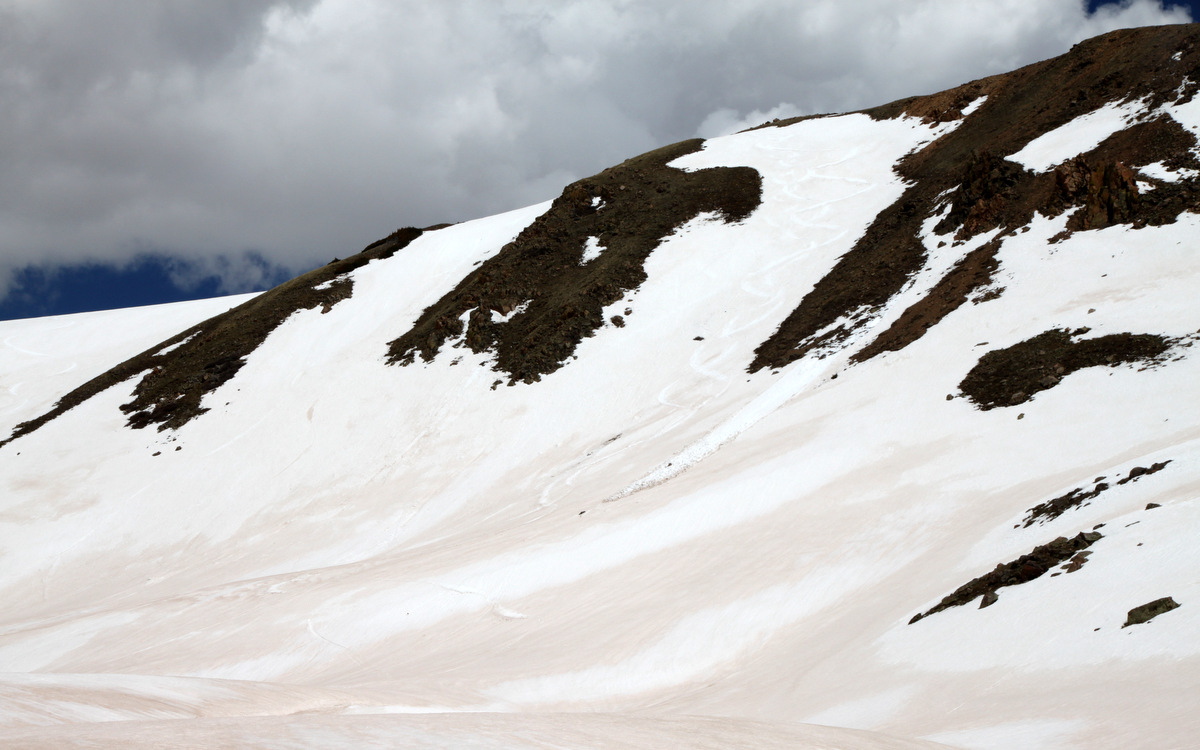
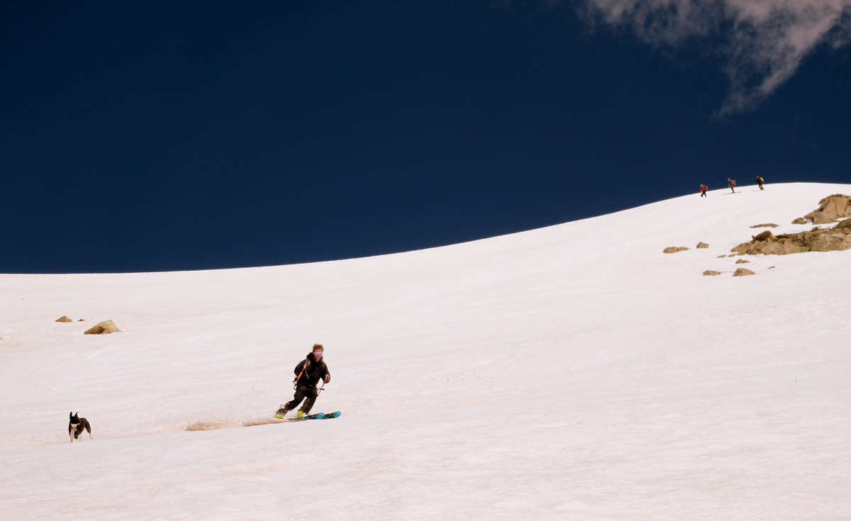
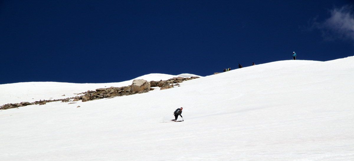
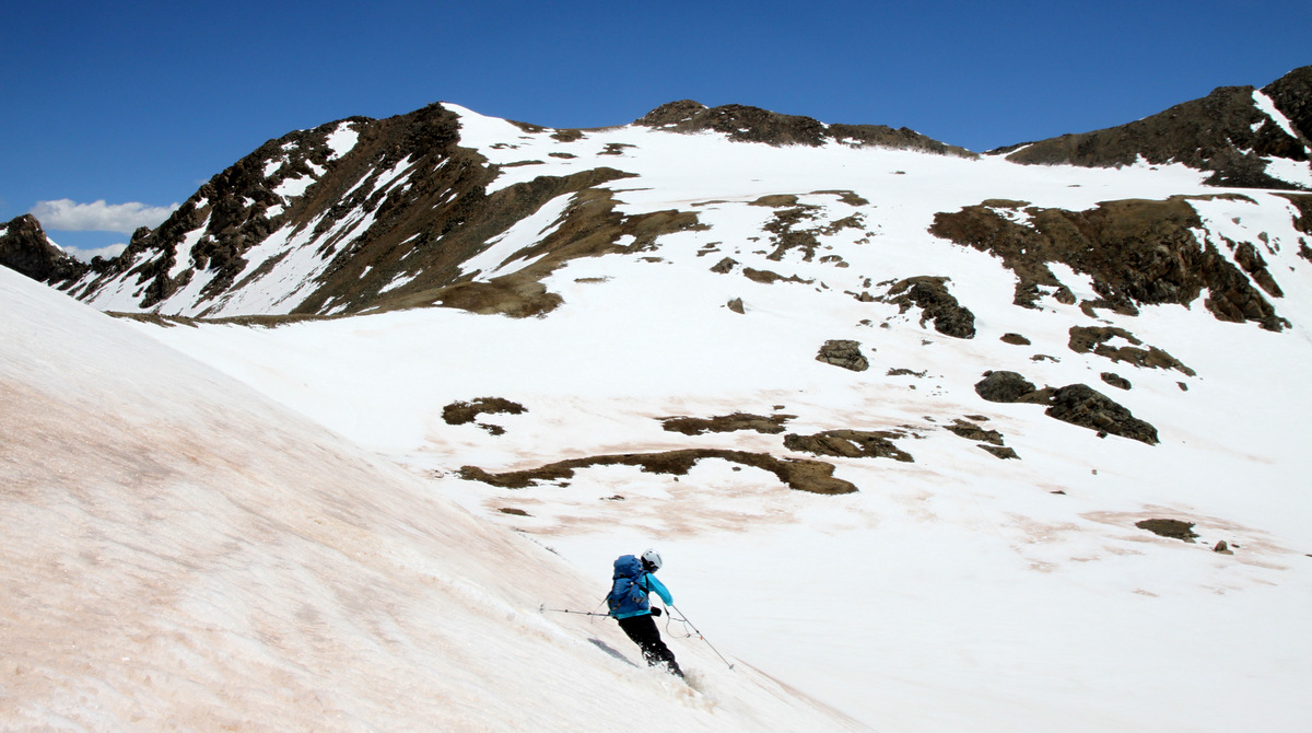
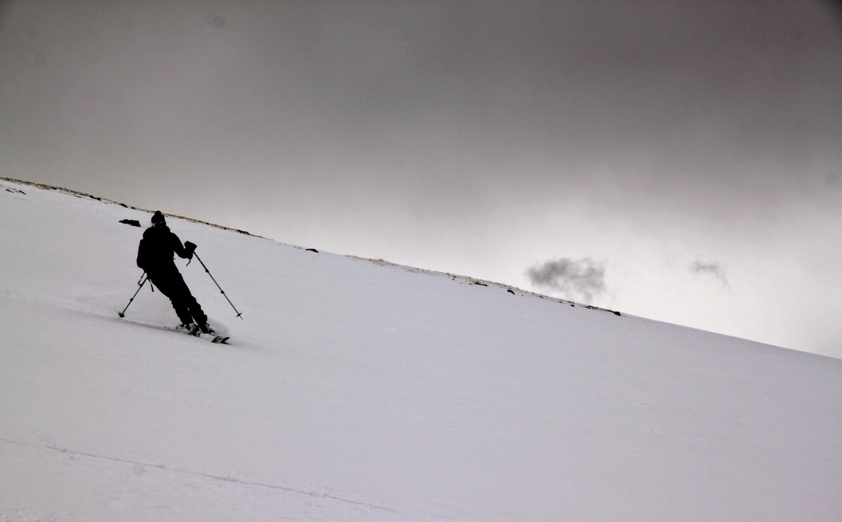
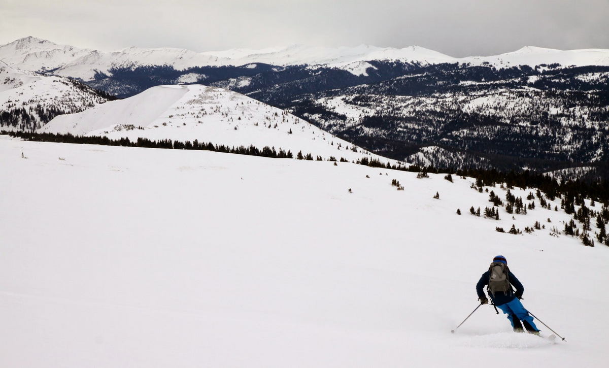
The very mellow, low-consequence ski down the upper southwest face was phenomenal. Spring-powder on top of a firm base made for awesome arcing turns. It was a lot of fun. Some ski shots:
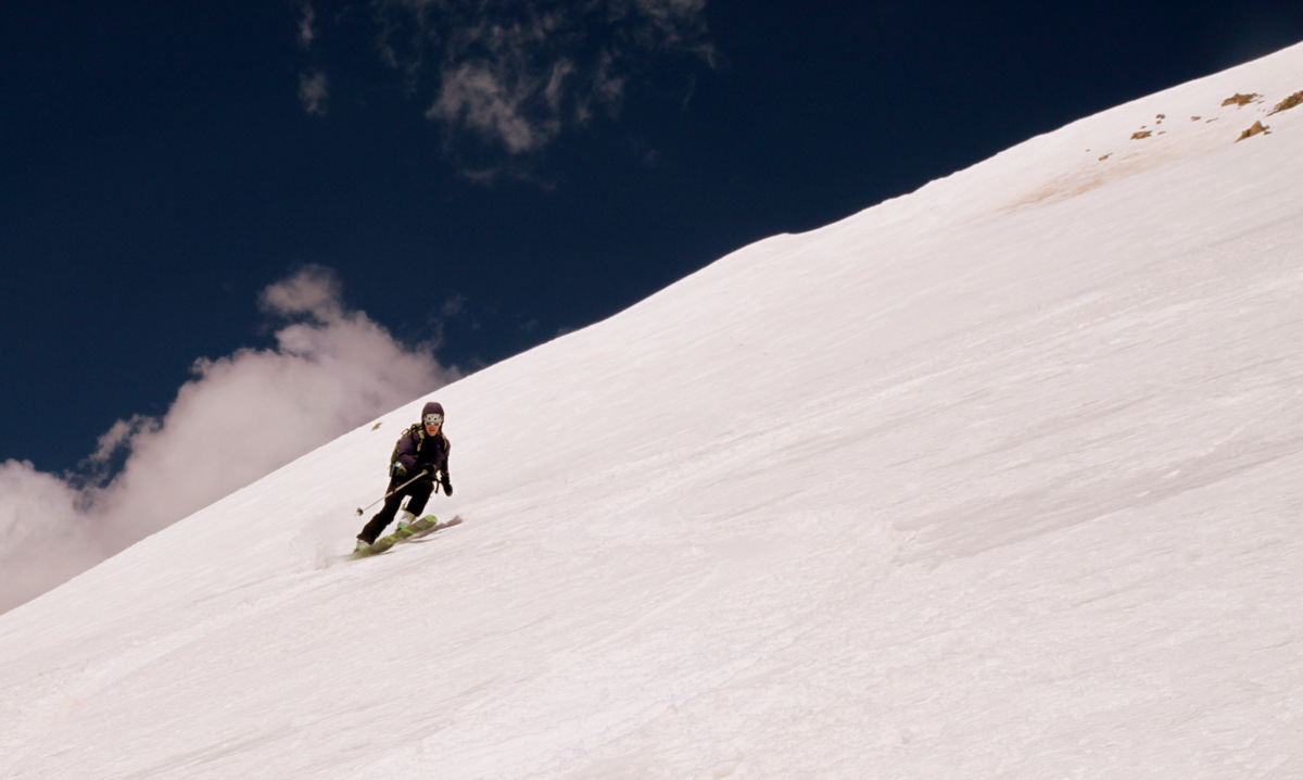
Kristine
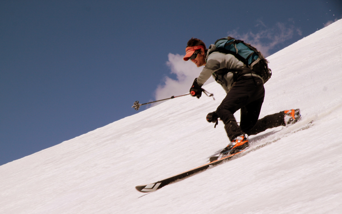
Joel

The skies were just awesome
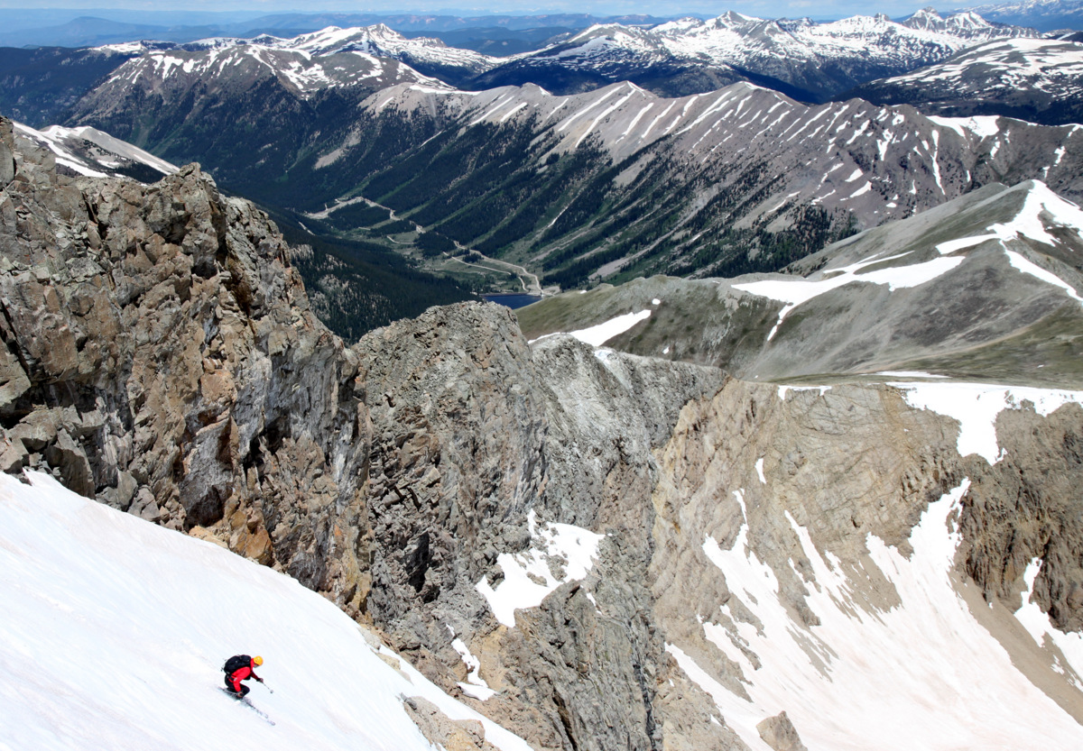
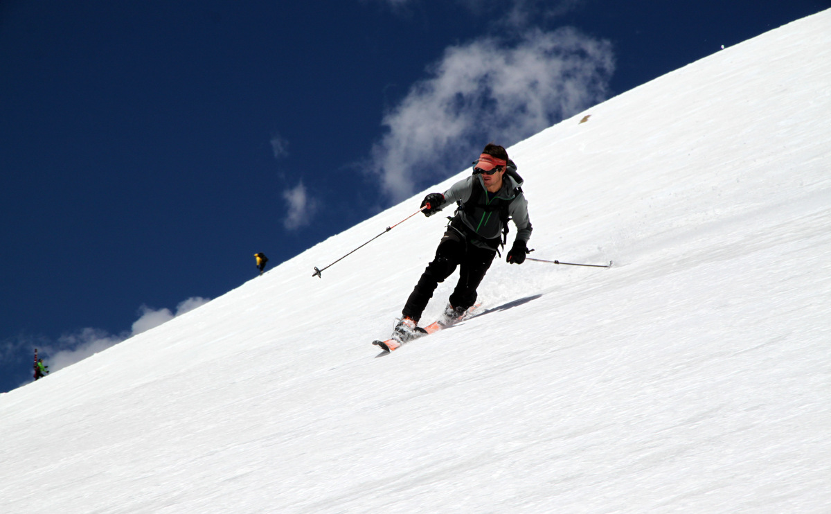
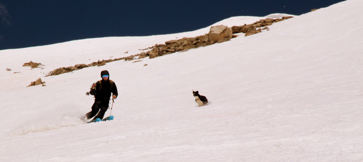
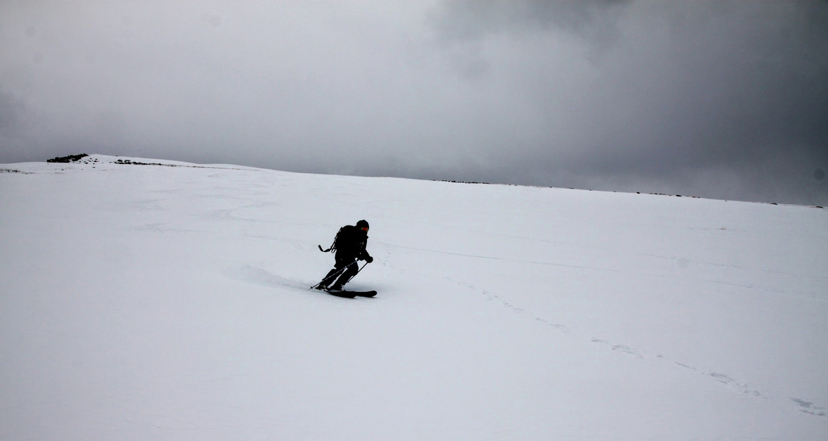
Joel taking us home
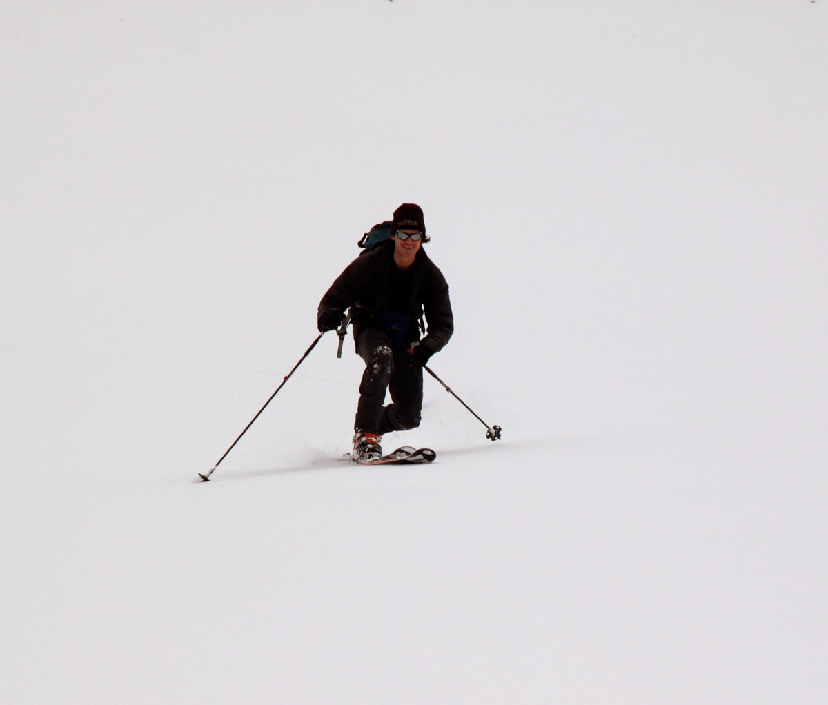
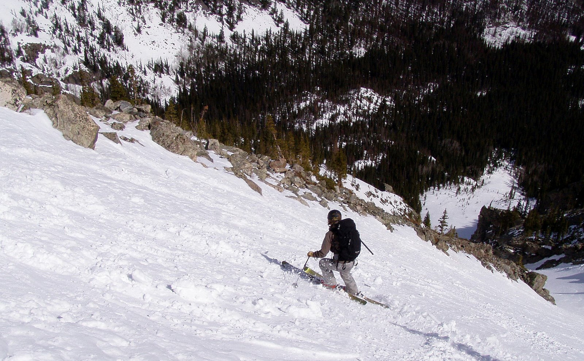
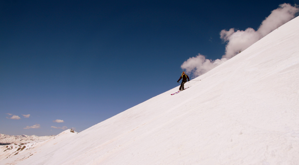
And, one of me
Joel & Kristine relishing in the fun ski of West Deming’s upper southwest face
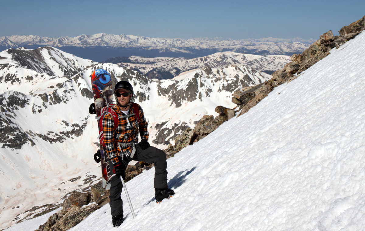
We made it back to my car at about 12:45pm, exactly about 4 hrs after we began. We dropped Joel off in Vail and boogied to Sarah & Keith’s house to pick up Sawyer & Rainier. Both ladies did very well all morning. This great moderate ski tour is a great addition to our running mental list of fun half-day ski tour outings. Even mid-winter, this would be a great ski tour as it is relatively safe due to the moderate slope angle. It would also be a nice summer half-day hike to get high and some great views. I believe the RT is roughly 3,000′ vertical and maybe 5 miles. Don’t quote me on that mileage, though. We are glad the weather cooperated, but really were we ever in doubt? I mean, c’mon, we had Mr. OpenSnow himself with us! In all seriousness, it was great for Kristine & I to get out with Joel again and especially for Kristine & myself to be together again on a fun little adventure like in our pre-baby days.
 Follow