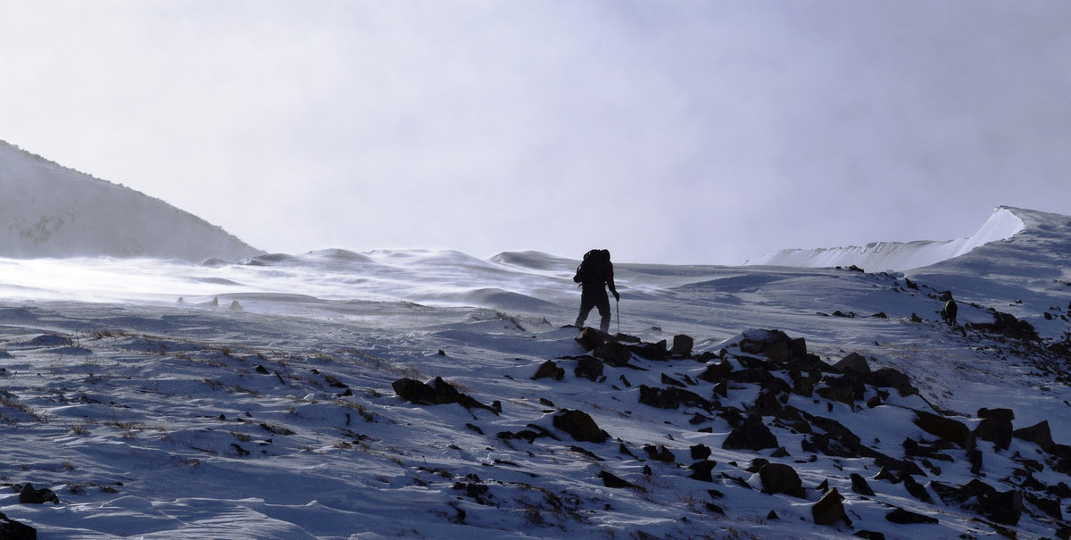
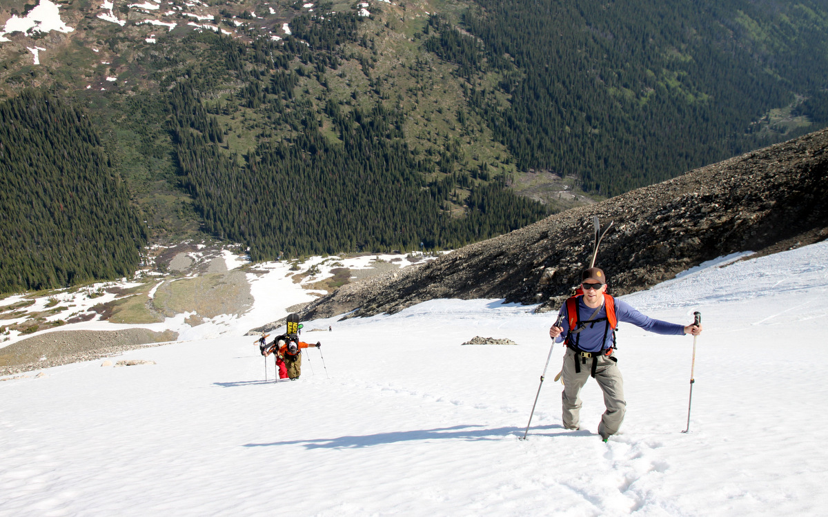
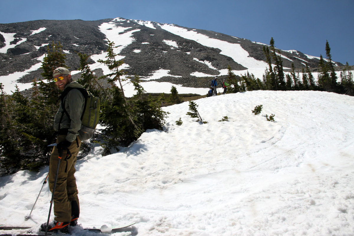
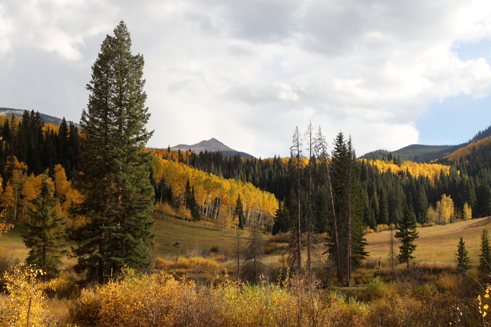
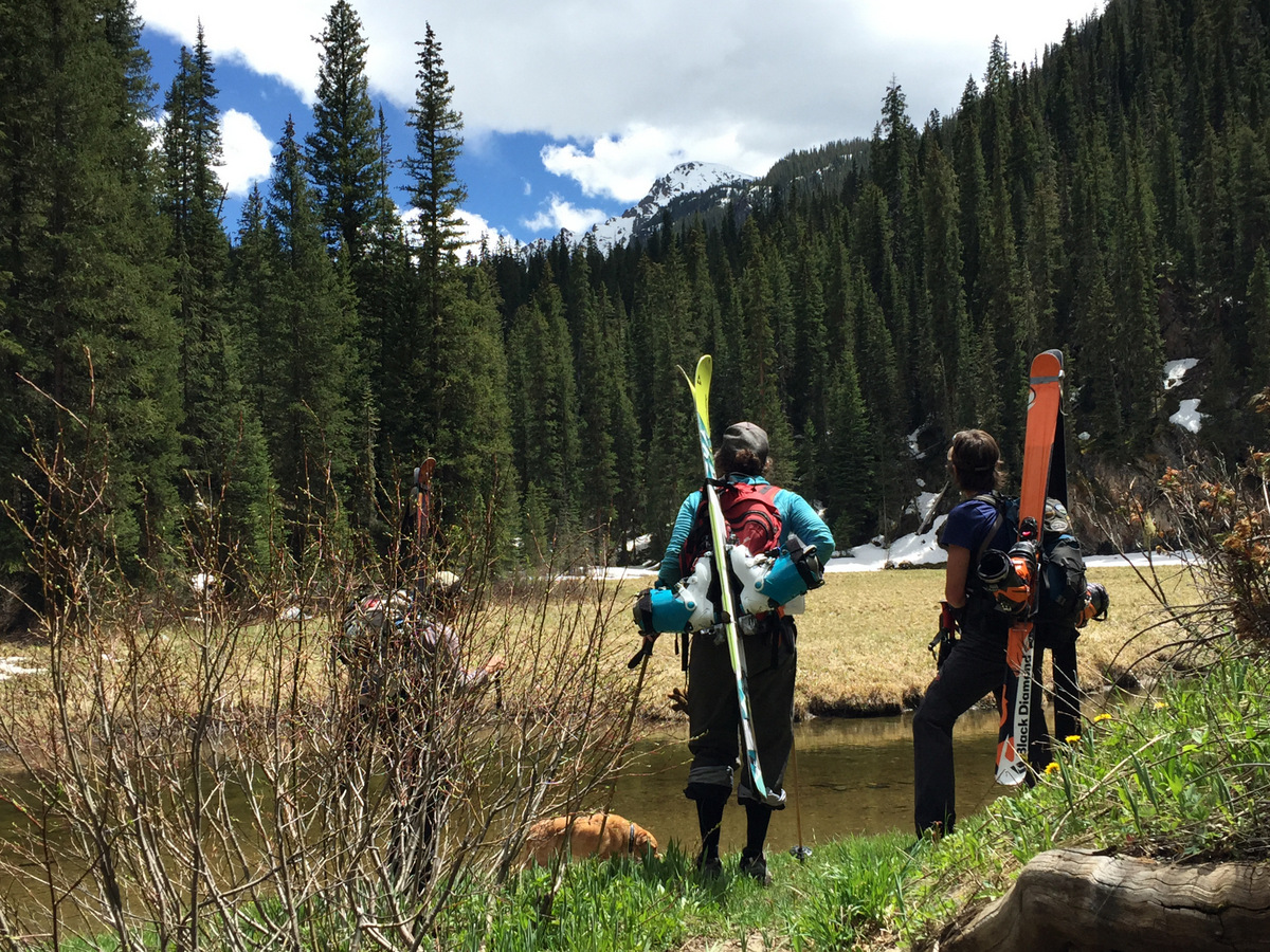
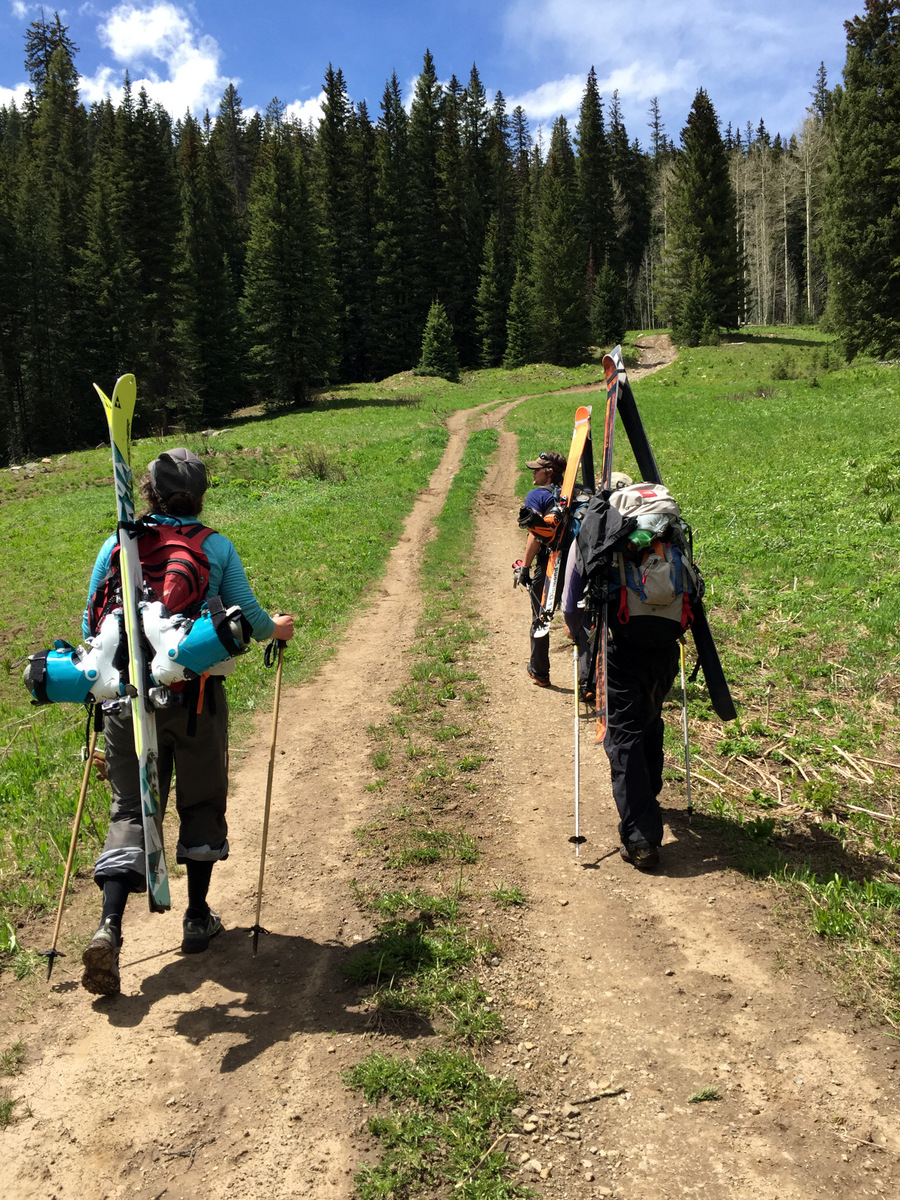
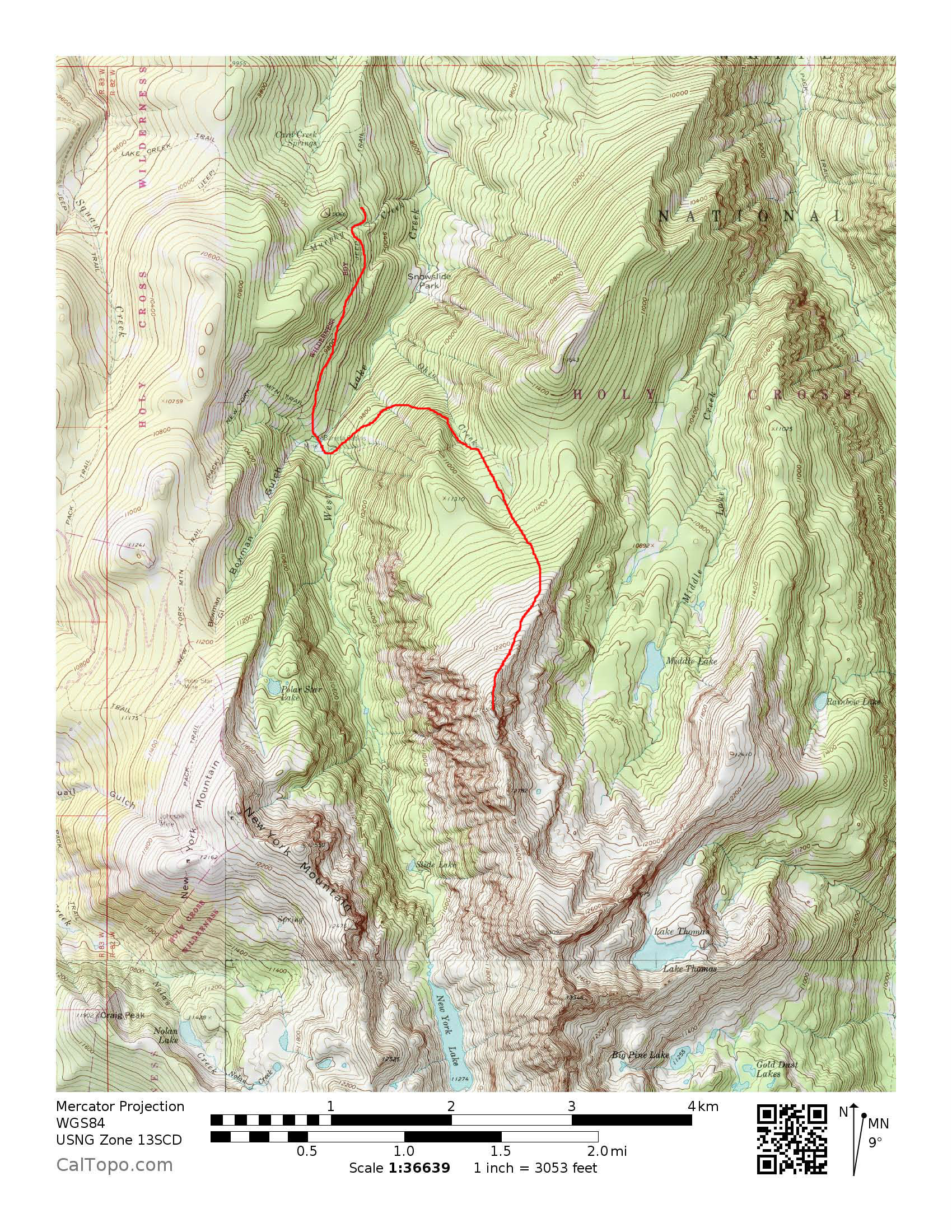
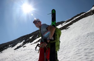
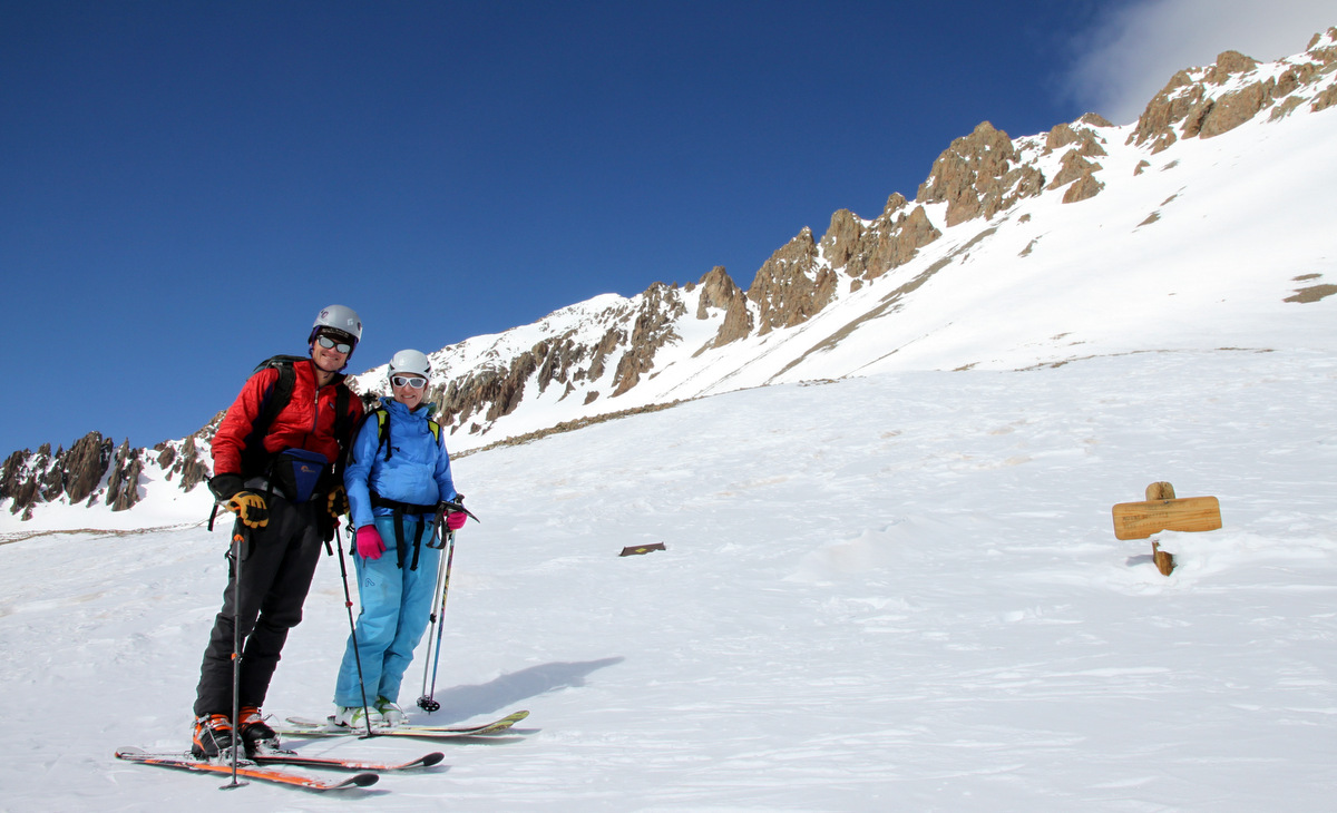
There is still a lot of snow up high (above 12,000′), but it is melting extremely fast given these 90 degree days in our mountain towns. It just makes me glad we were able to do what we did as far as spring skis this spring even though it didn’t compare to the frequency and quantity of spring ski descents from previous years. A few days ago, Kristine & I dropped off Sawyer at daycare at 8am (since we are paying for it anyway) and boogied on down to the Mosquito Creek drainage one basin west of the Kite Lake trailhead where J and I skied Mt. Buckskin 6 days prior. I remember seeing these peaks from the summit of Mt. Buckskin and put them to memory in case we could get out again since the driving access gets you high to almost snow line (around 11,500′) thus minimizing the time of hiking with skis and boots on your back. Now, I would never recommend starting a spring ski climb/descent at 9:30am, but we could only do what we could do with regards to dropping Sawyer off. We would just have to see how warm and sloppy the snow would get and plan our ascent and descent routes accordingly. We parked right at about 11,600′ and left the car with skis/boots on our packs walking in our trail runners around 9:30am. We casually hiked up the rough road towards the abandoned London Mine and left the road heading due west over tundra avoiding the snow where we could.

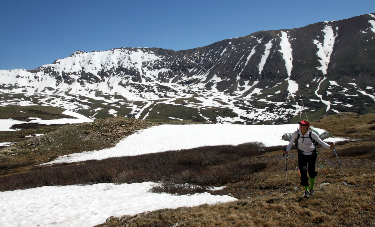
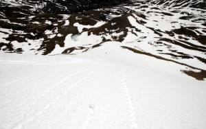
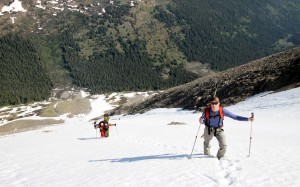
Kristine tundra hiking with the west face of Mt. Buckskin behind
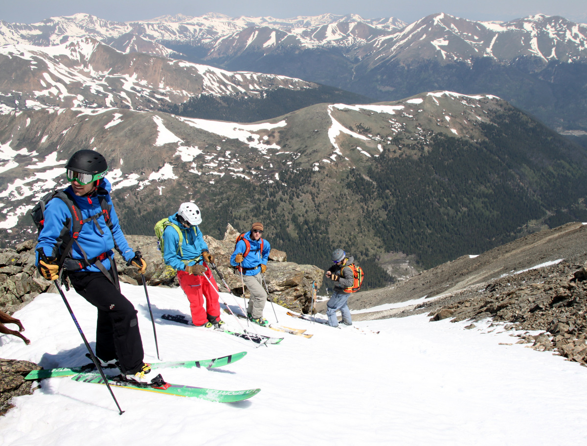
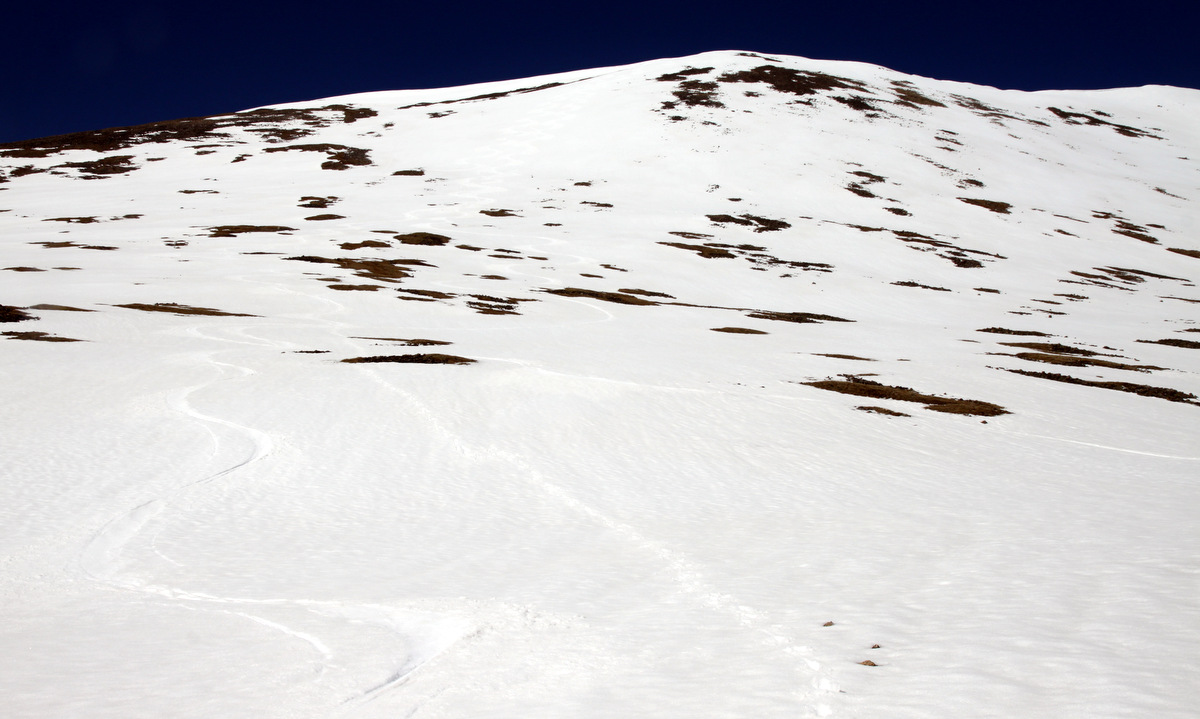
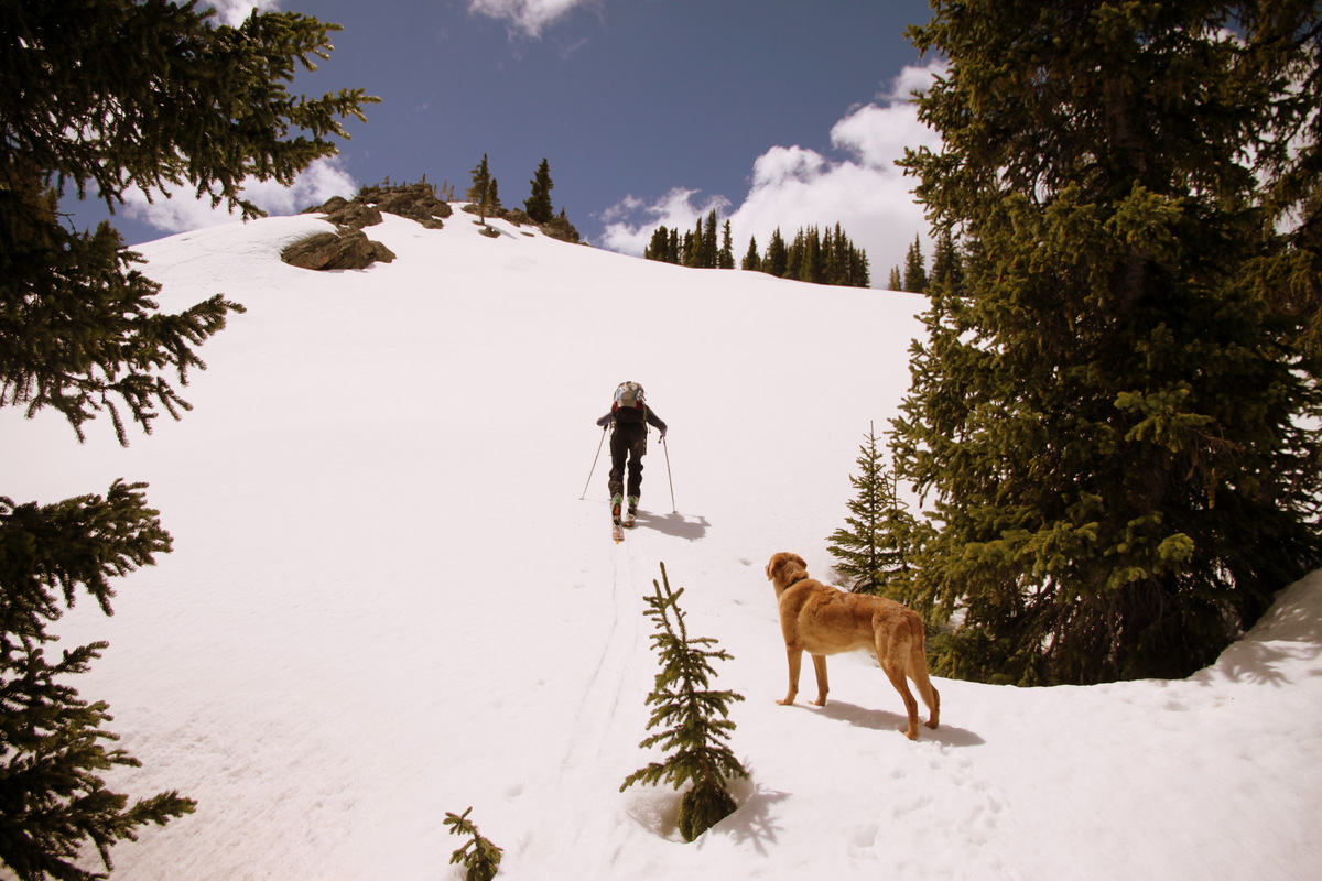
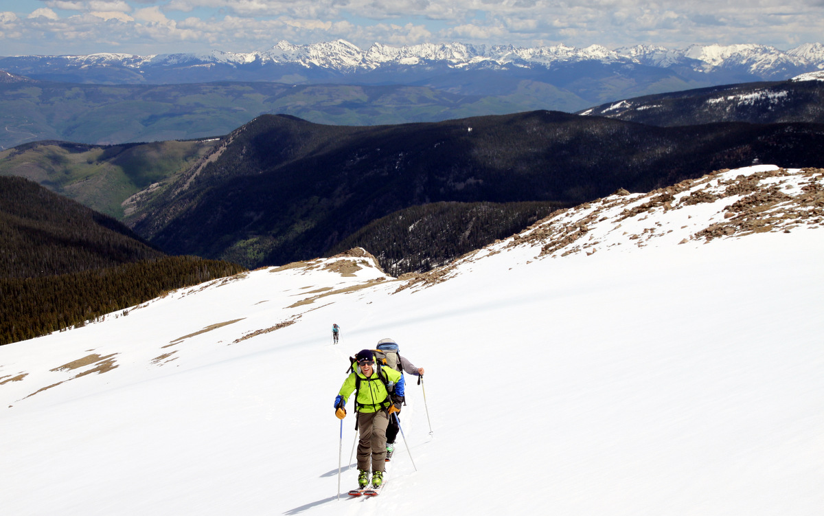
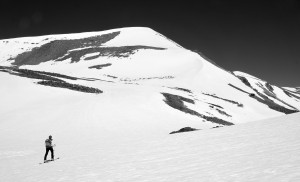
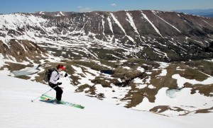
We reached a point where we felt the snow was continuous and donned our ski boots and skis. We contemplated heading up the ridge to Kuss Peak (13,548′) and then over to Mosquito Peak, but there looked to be a skinnable route up the east ridge of Mosquito and fully snow covered. It looked to be a good ski descent as well. So, well on our way to Kuss, we changed directions and headed due north to this east ridge.
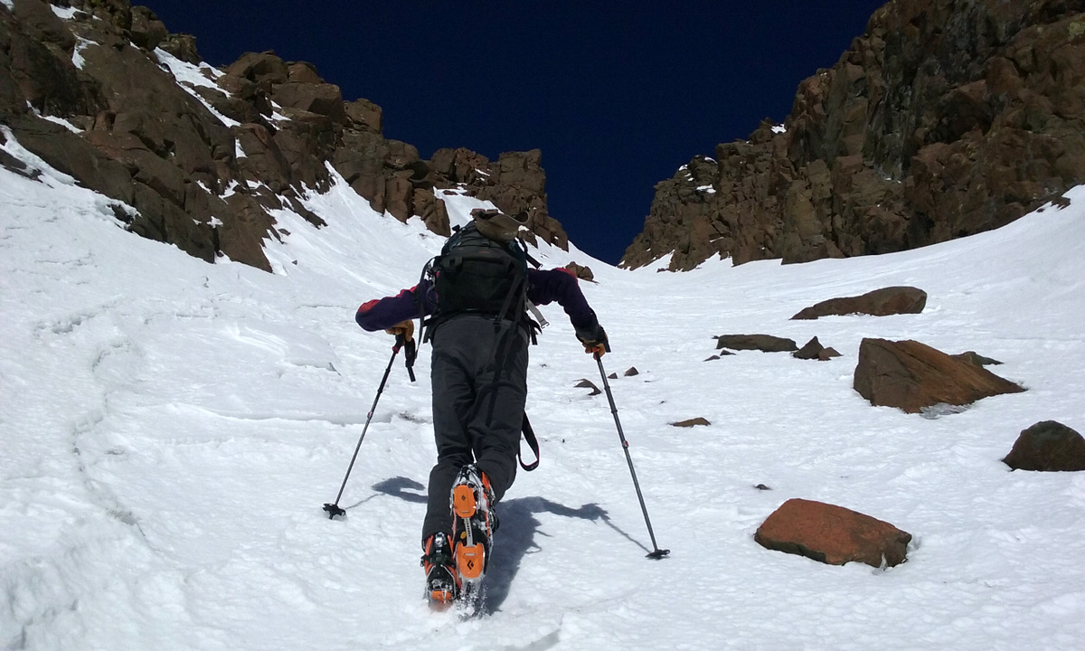
Kristine heading to the base of the east ridge of Mosquito Peak
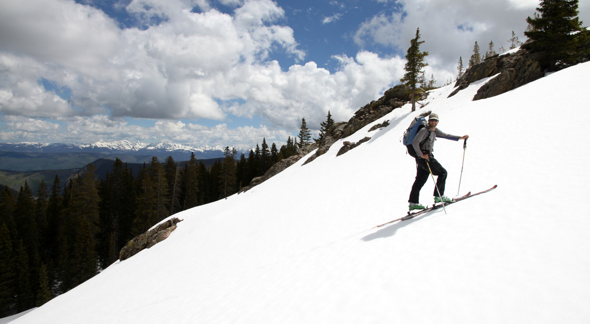
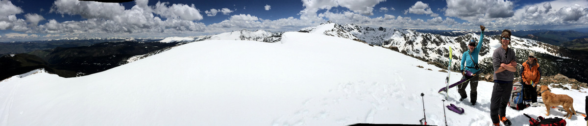
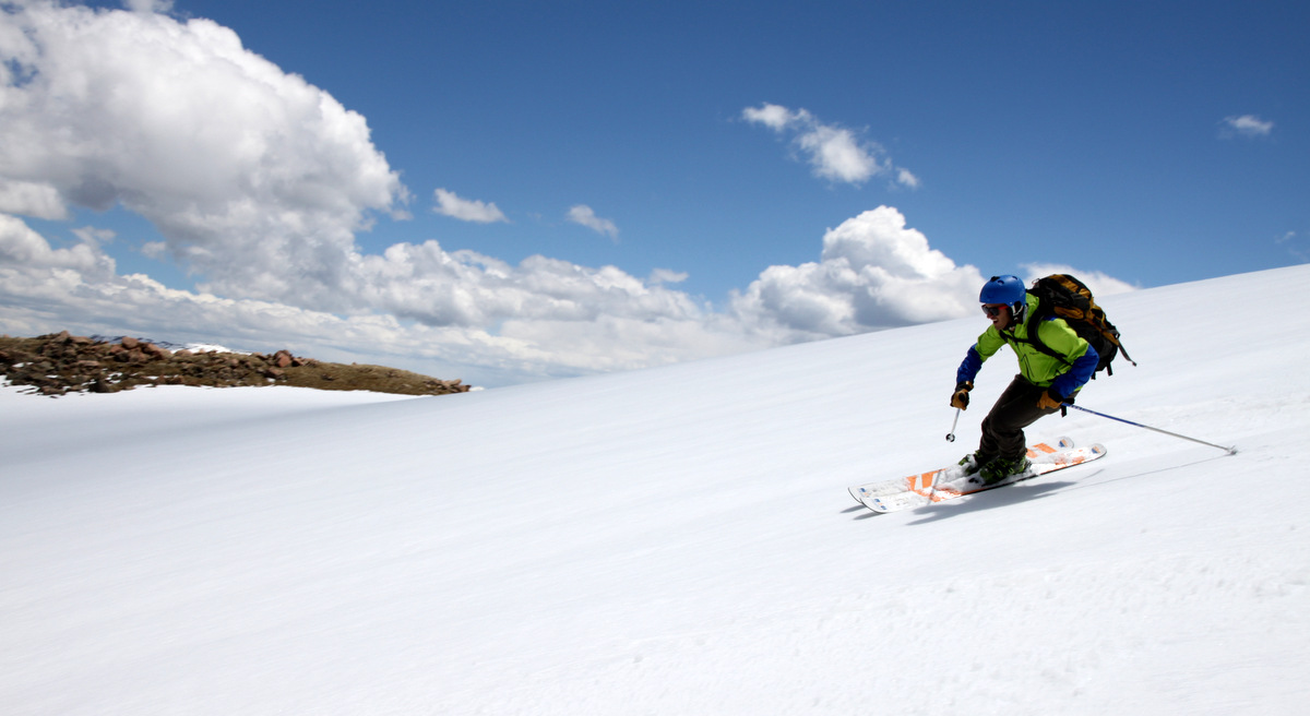
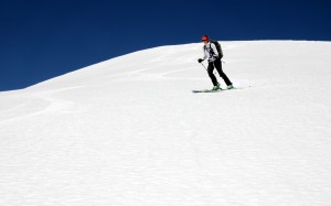
It was late – maybe 11am – as well as very hot. We were very conscious of snow conditions and any potential wet slab activity. We picked a good line and up and up we went topping out on the 13,781′ summit around 11:45am.
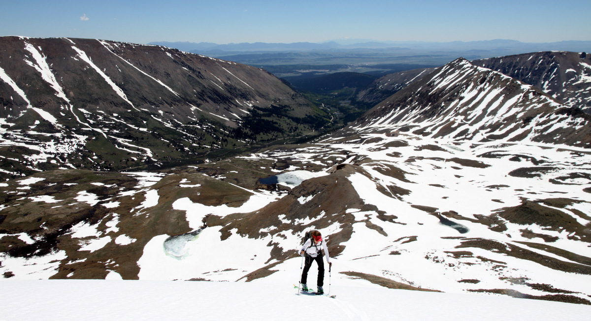
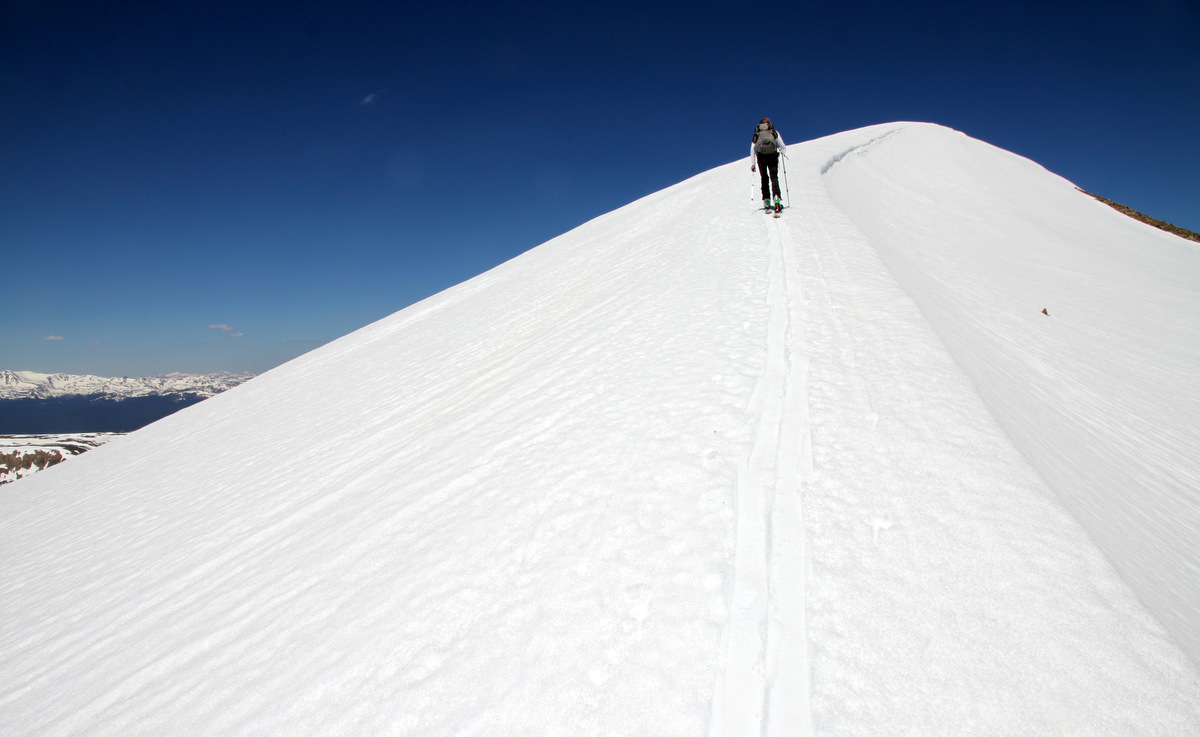
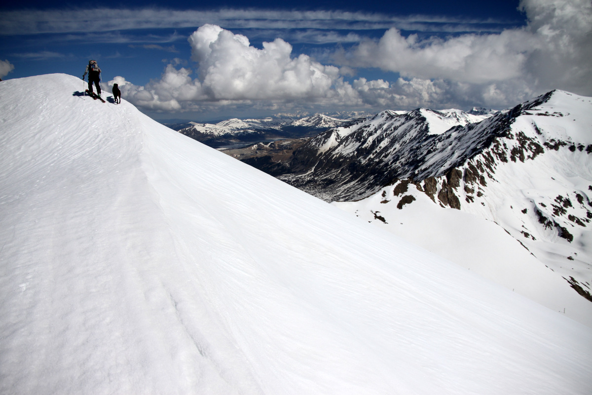
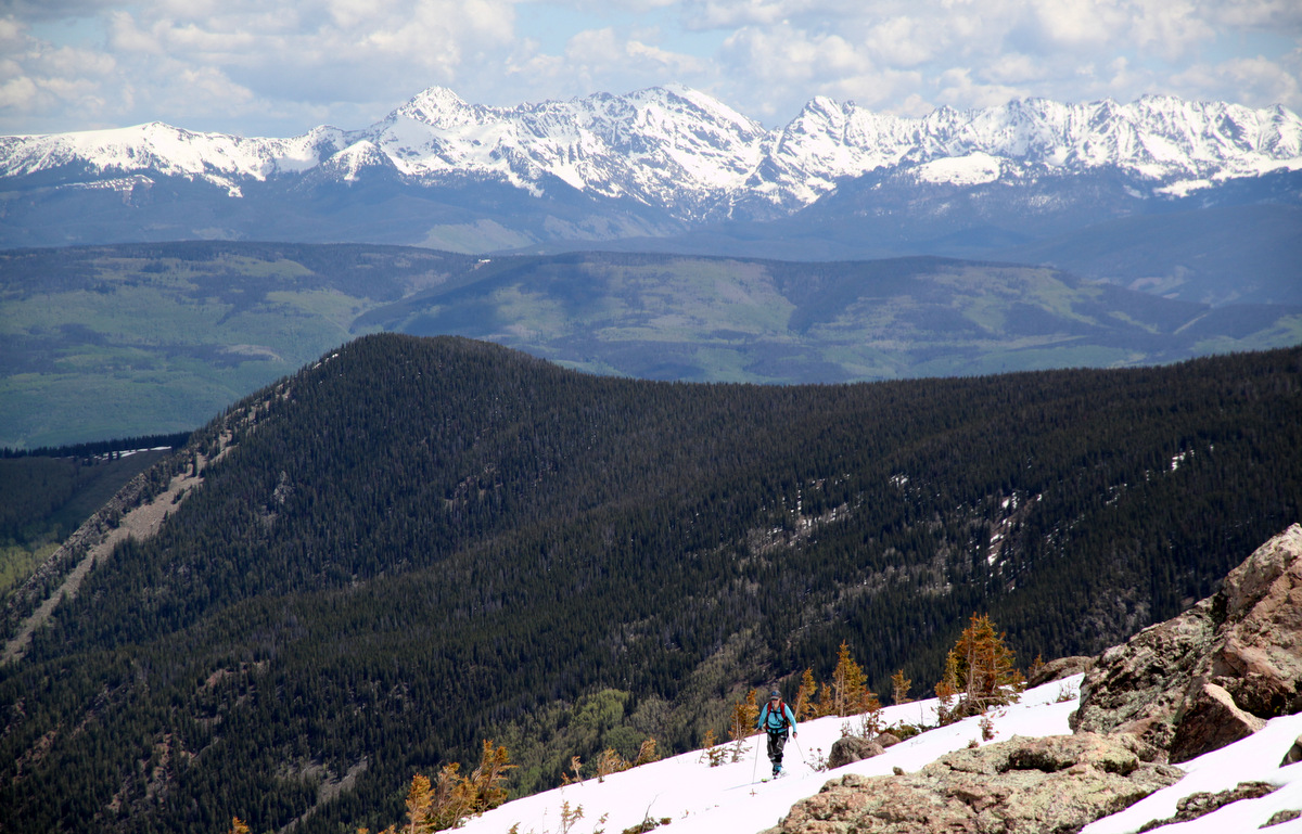
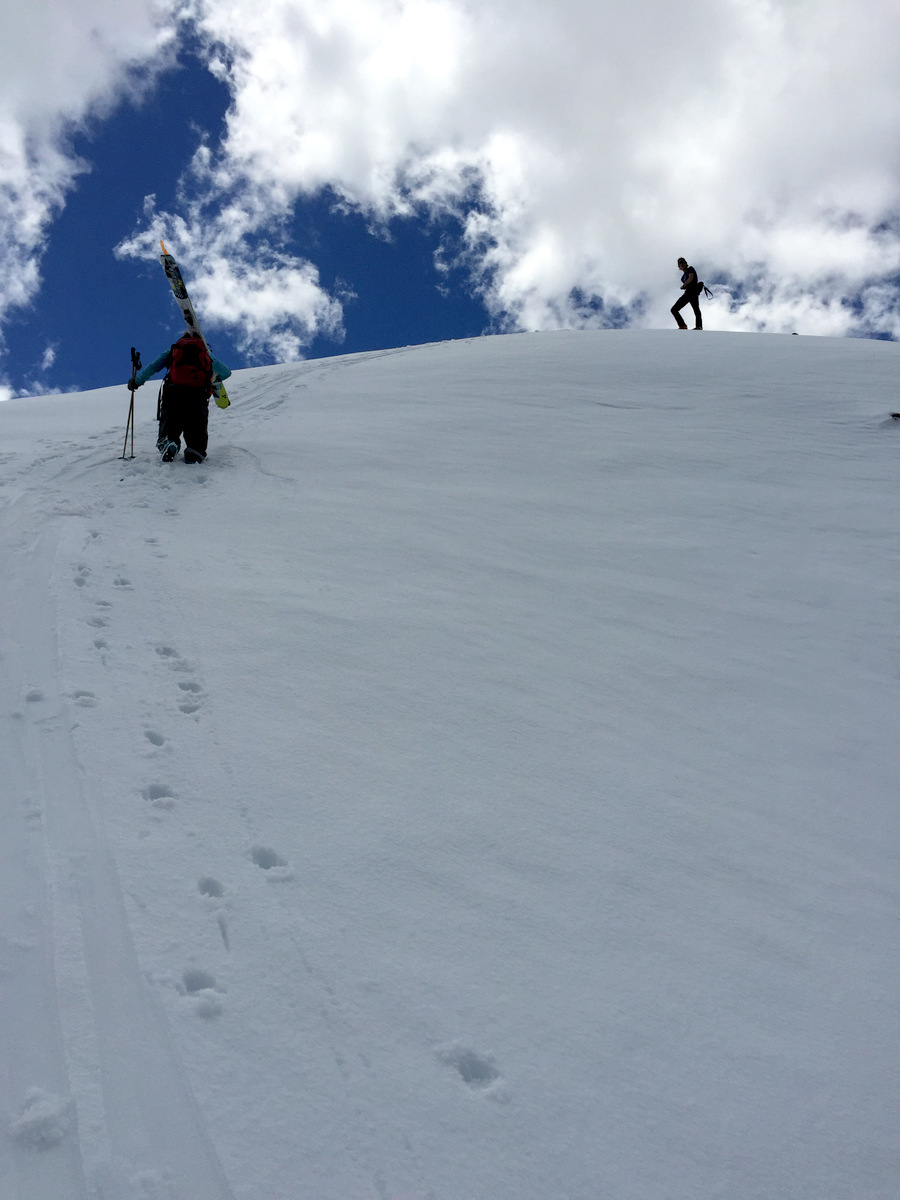
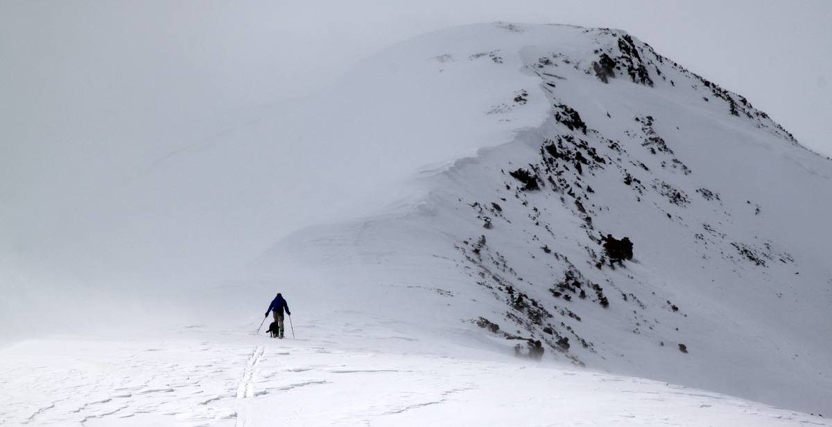
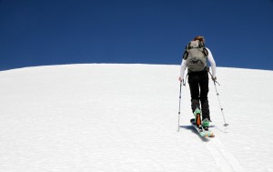
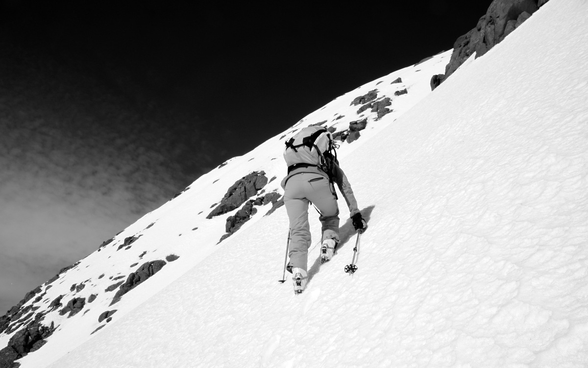
Kristine skinning up the east ridge
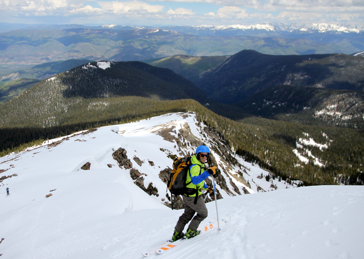
The steeper portion of the east ridge – maybe 30-35 degrees
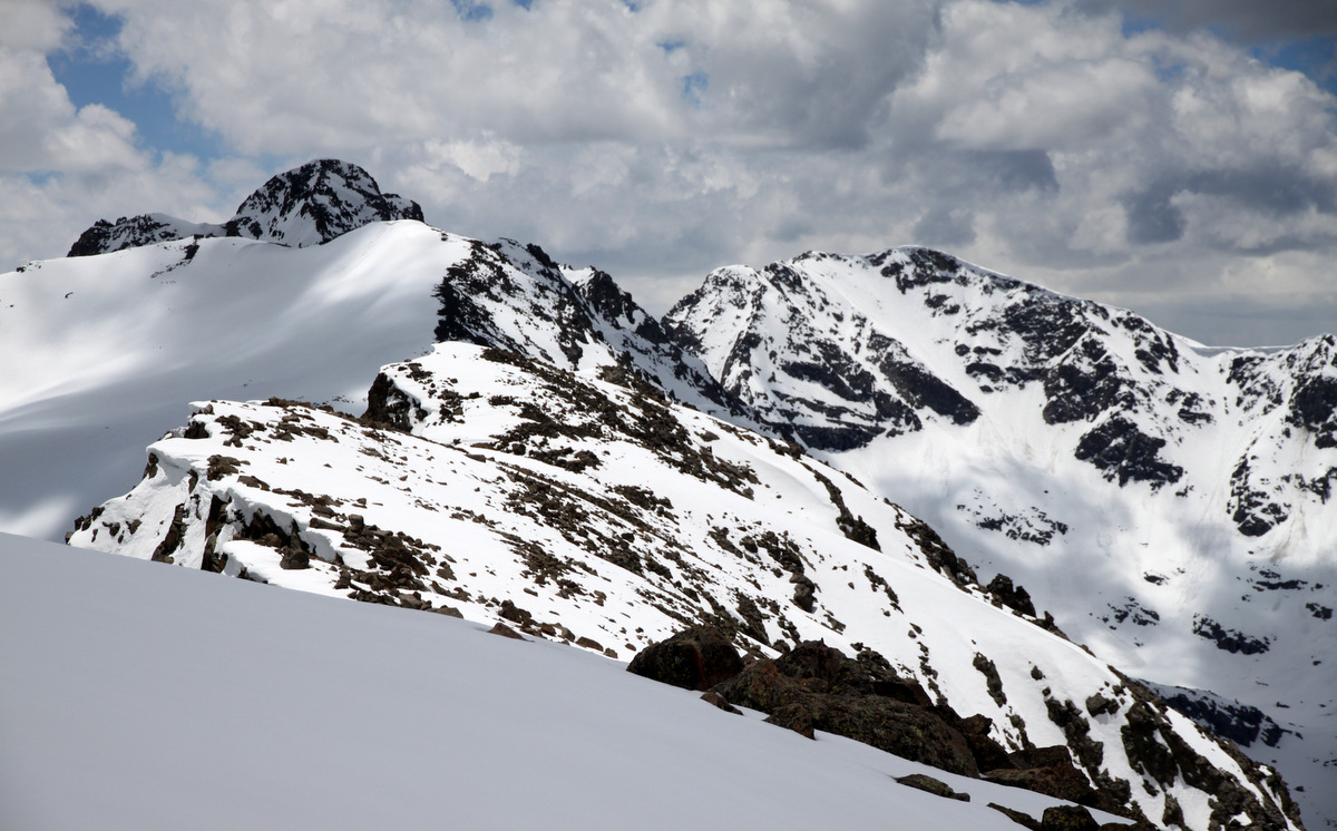
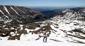
Mellower ground to the summit ridge
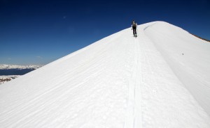
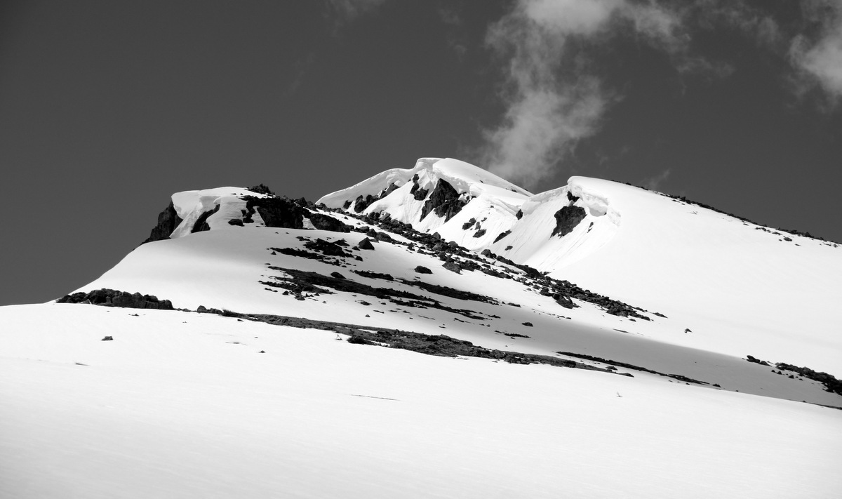
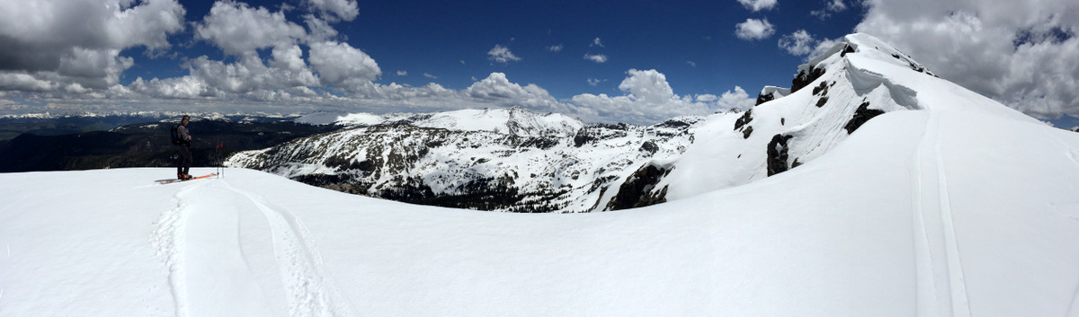
Summit ridge

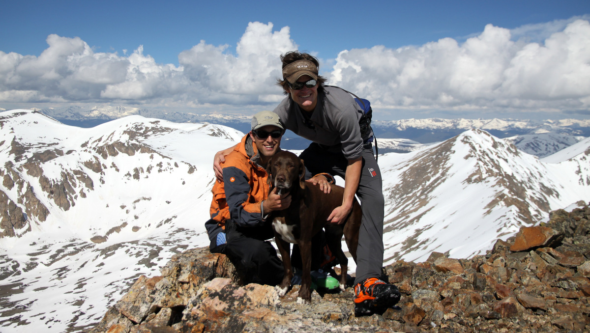
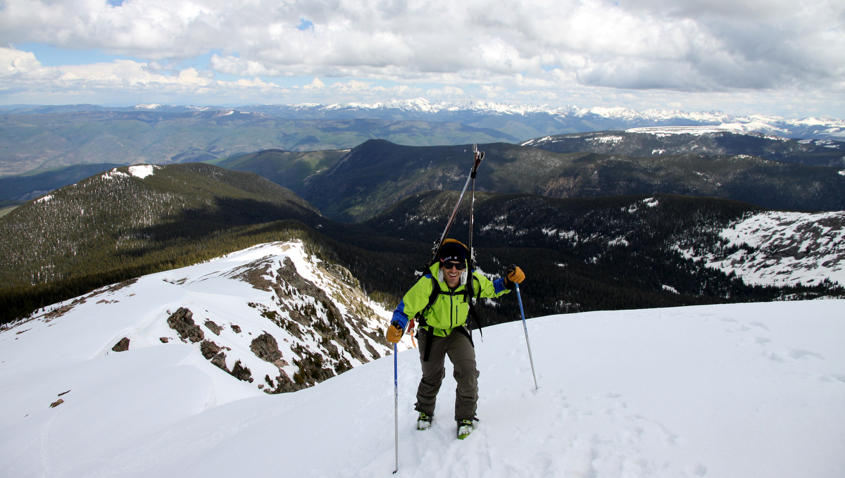
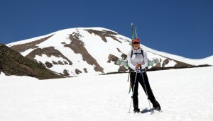
Mosquito Peak summit (13,781′)
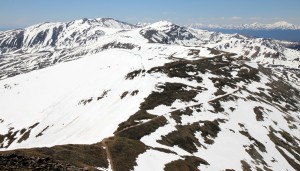
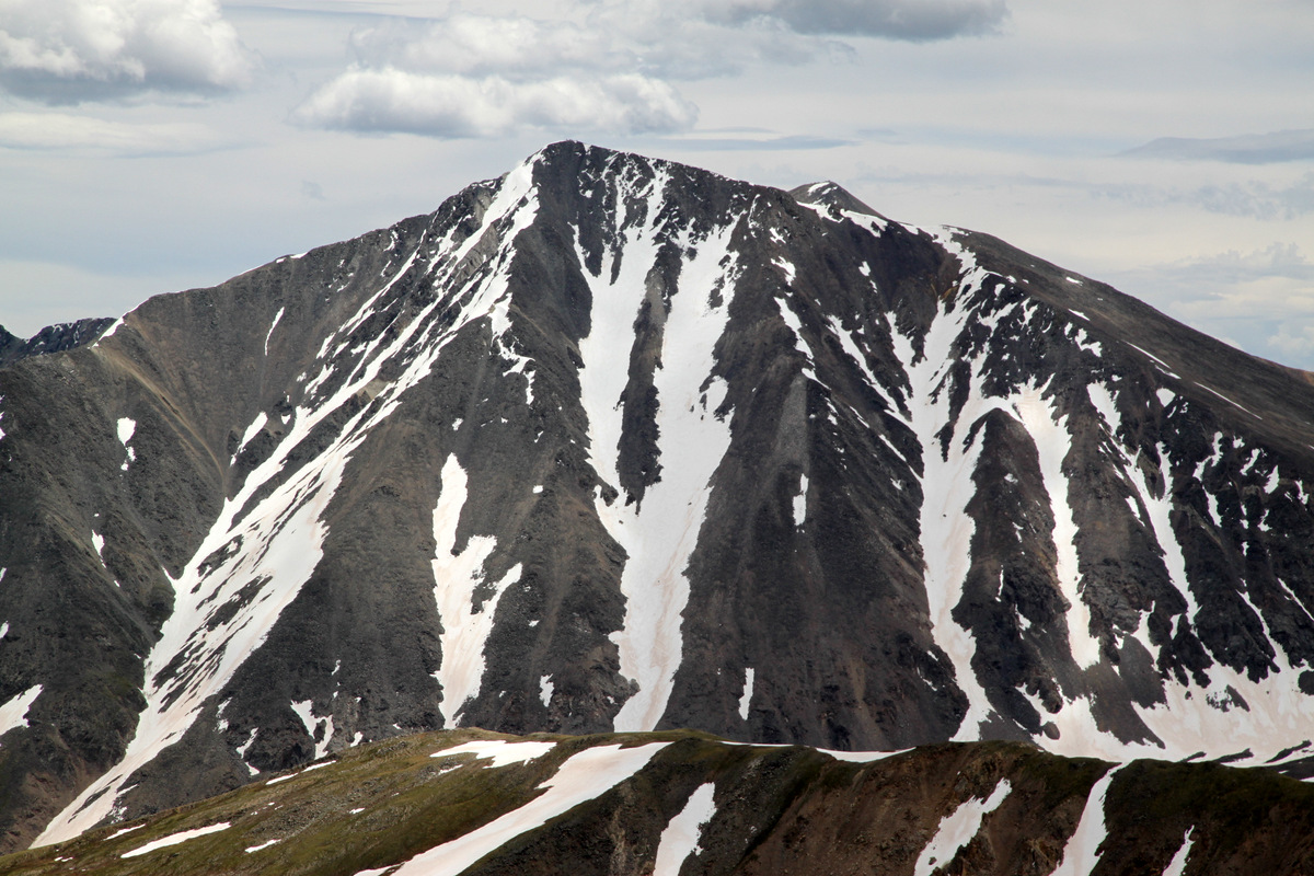
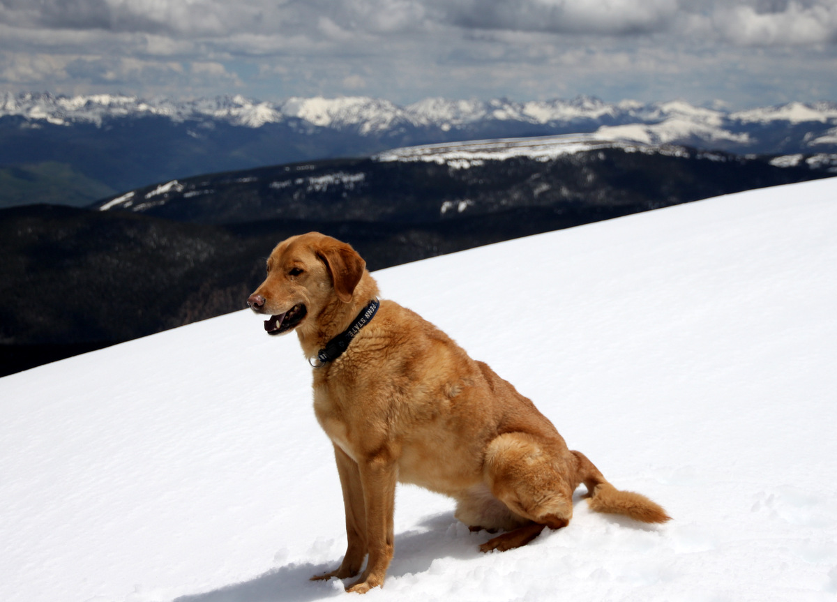
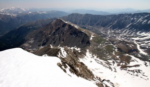
Looking south to Kuss Peak and beyond to the 14er Mt. Sherman
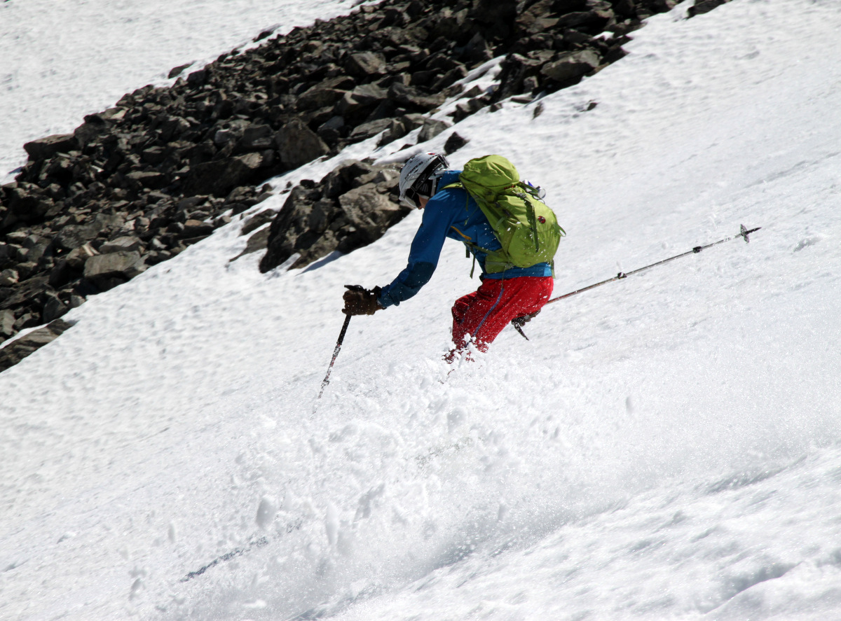
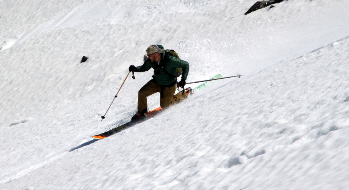
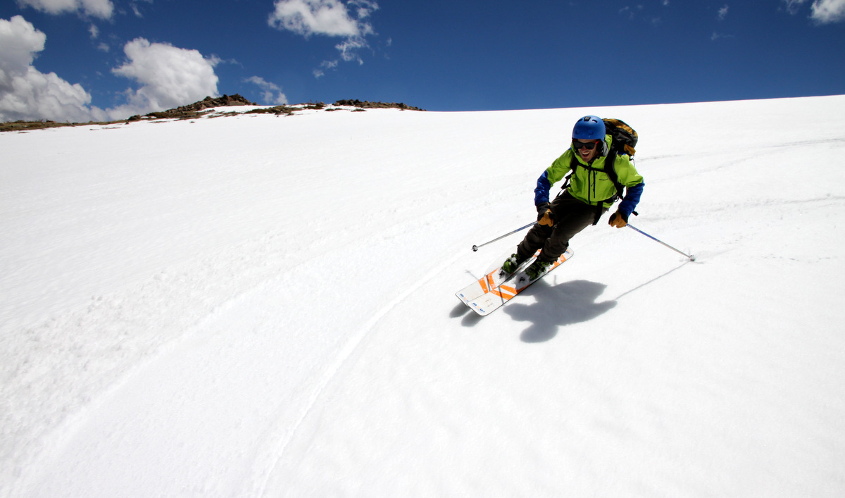
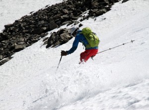
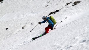
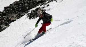
We didn’t stay long on top and after a few pics and packing our skins away we were off down the creamed corn summit ridge to the east ridge. Despite dropping down the line at noon, the snow held up fairly well. Let me tell you I expected worse, that’s for sure. It was special to get a ski descent in with Kristine. I think she had a great time and she looked good carving those turns.
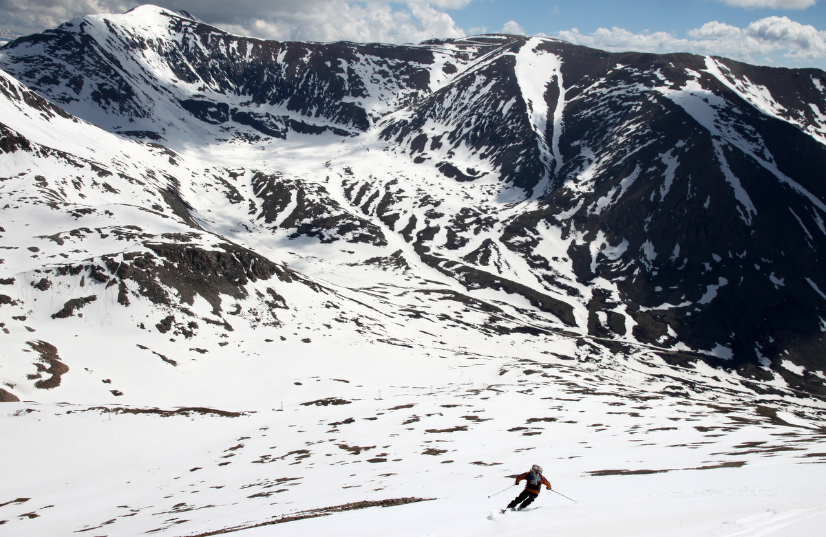
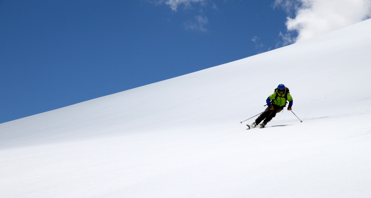
Kristine carving turns on the upper summit ridge
Having fun
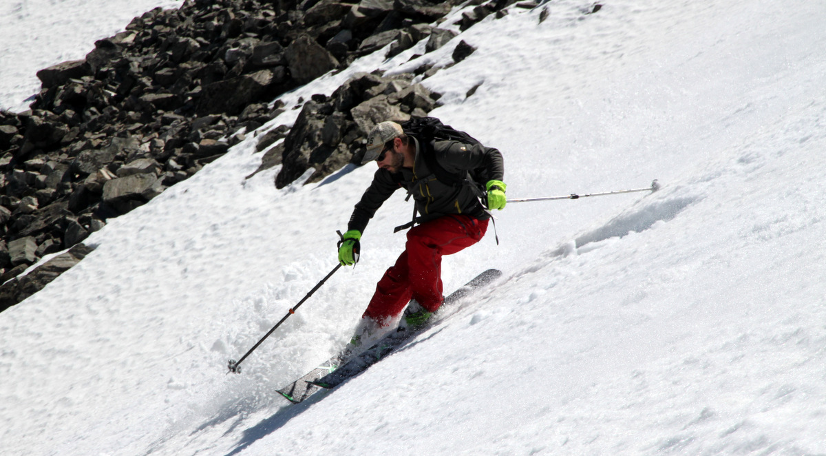
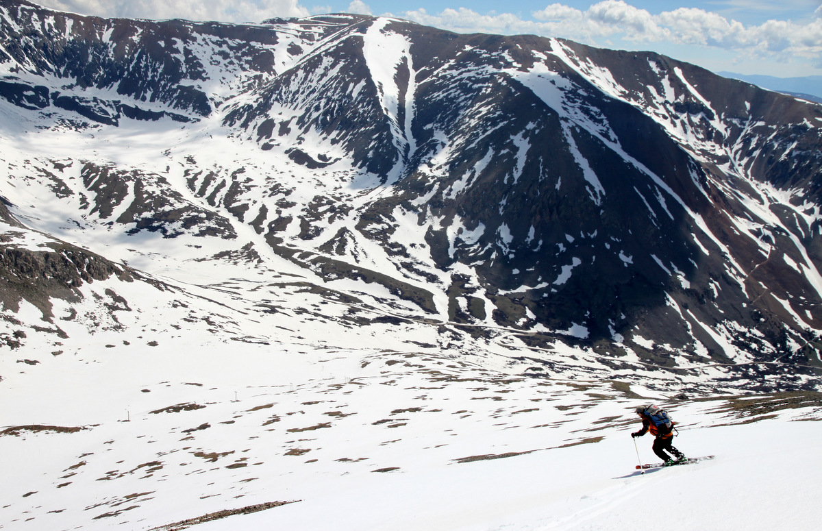
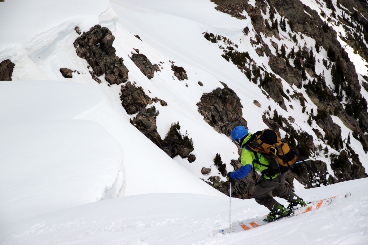
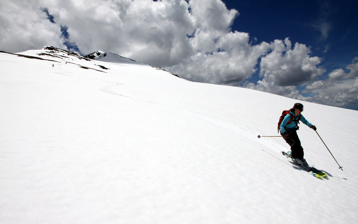
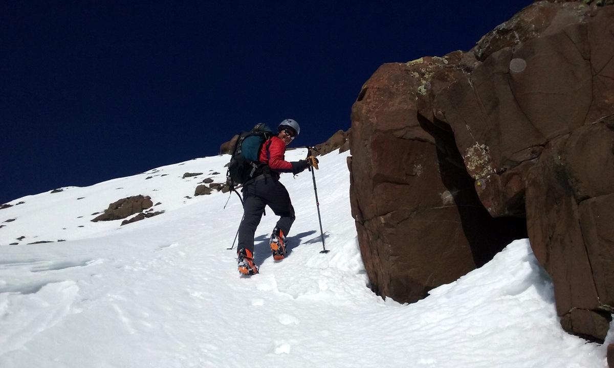
Kristine on the steeper portion of the east ridge
Decent snow conditions for mid-day skiing
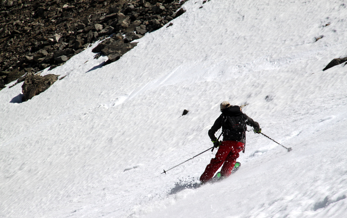
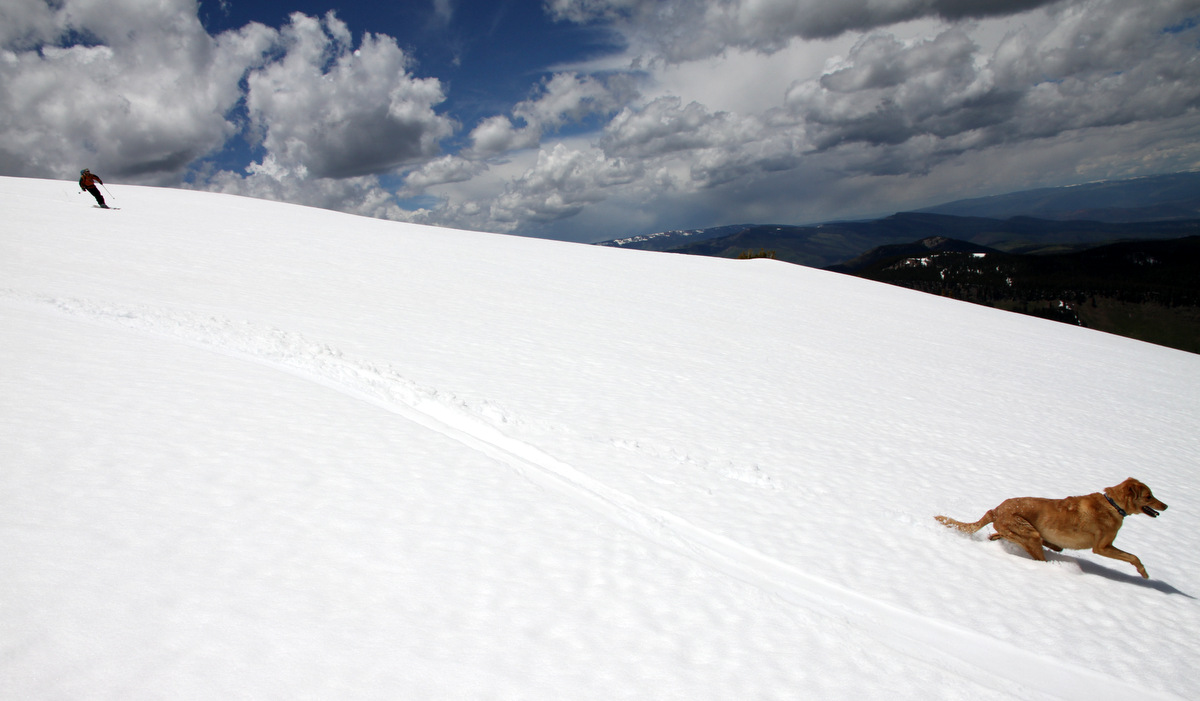
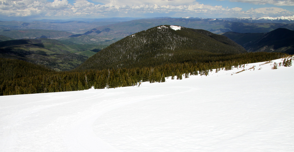
Kristine way down on the bench of the east ridge
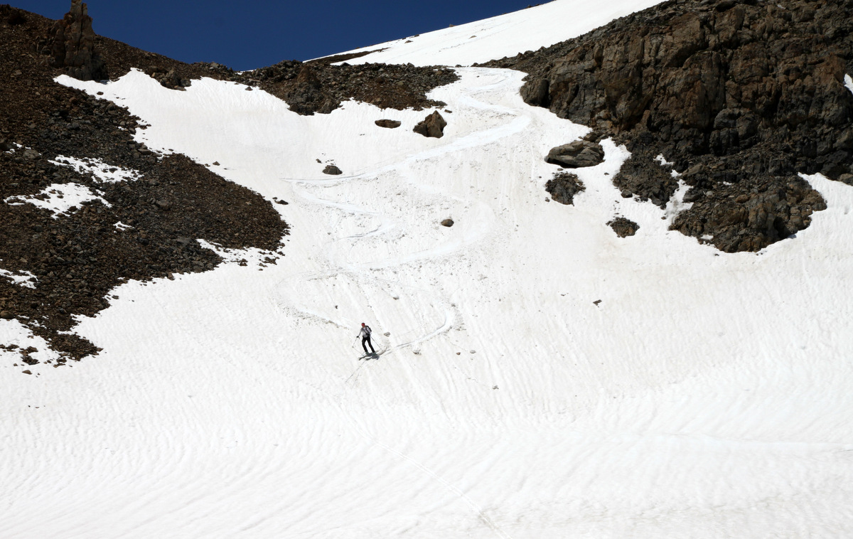
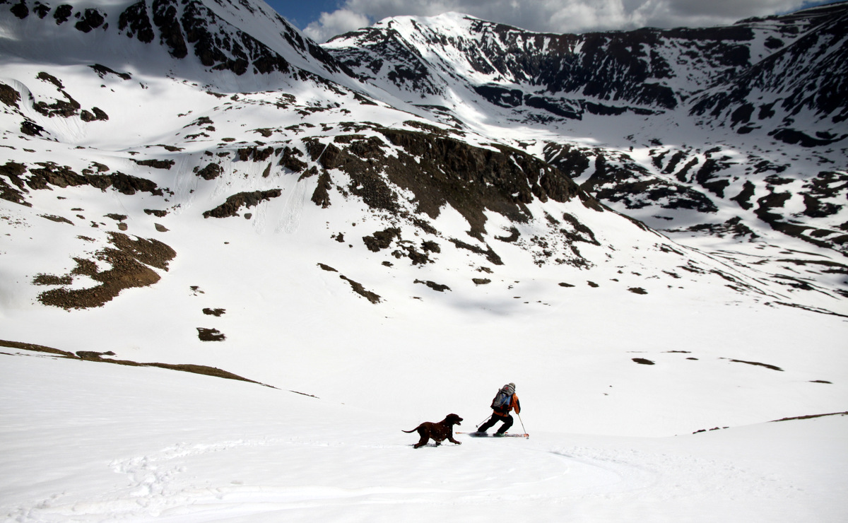
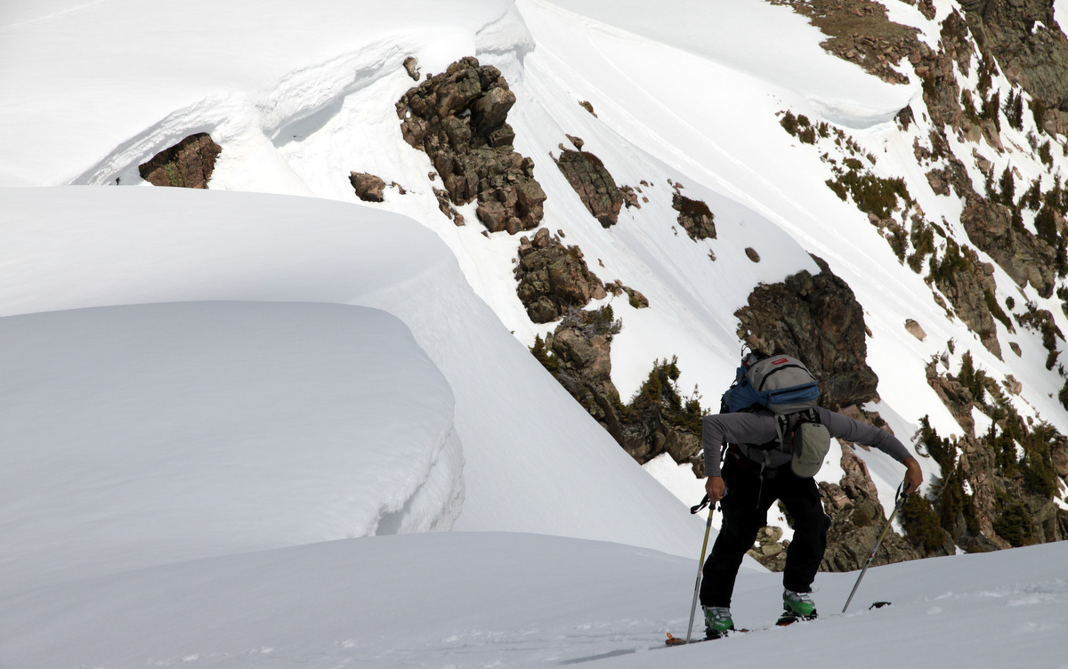
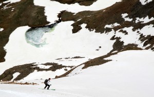
We reached the base of the east ridge and found a little chute down to the lower basin in order to avoid the long way around from which we came.
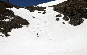
Kristine skiing the exit chute to the lower basin
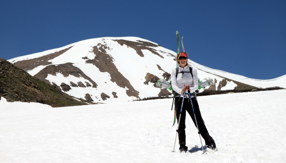
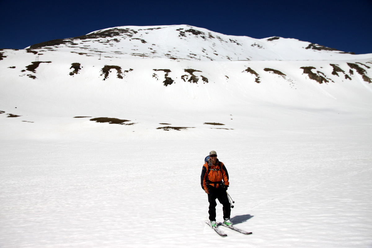
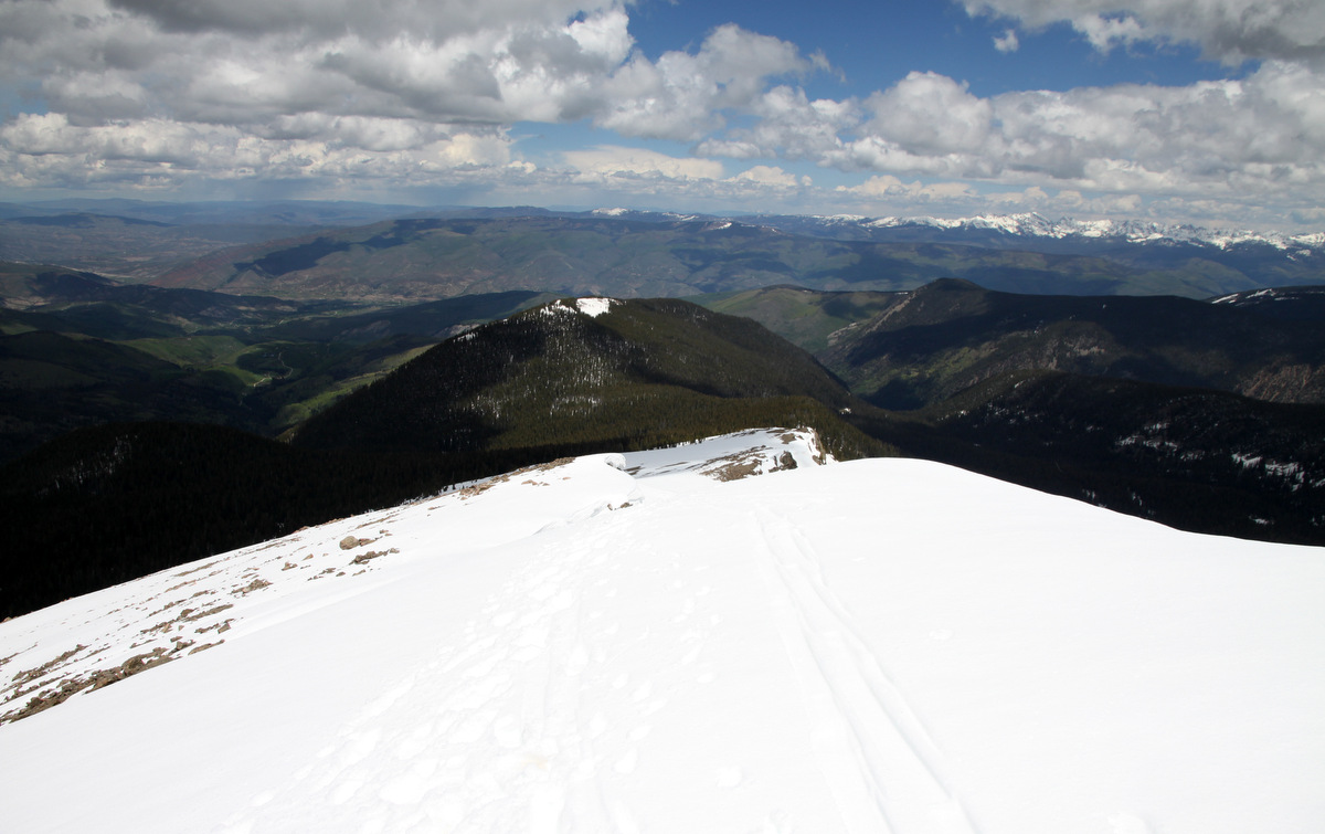
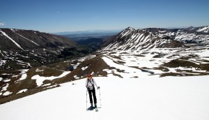
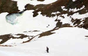
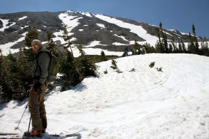
We skied down until we couldn’t ski anymore and hoisted our skis/boots once again on our backs and hiked the rest of the way back down to the truck arriving around 1:15pm or so.
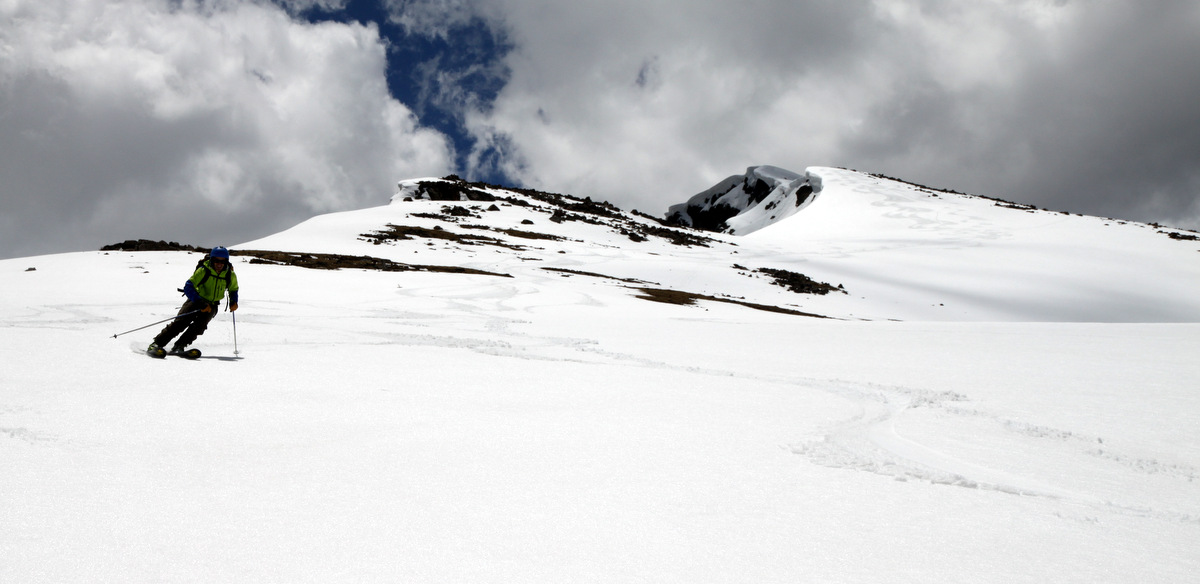
Kristine & Mosquito Peak on the hike out
Eating our PB&Js on the 6 mile Mosquito Creek dirt road back out to Alma, we made it just in time to go home and get the dogs and go pick up Sawyer at 4pm from daycare. It was a great day to be out just the two of us.
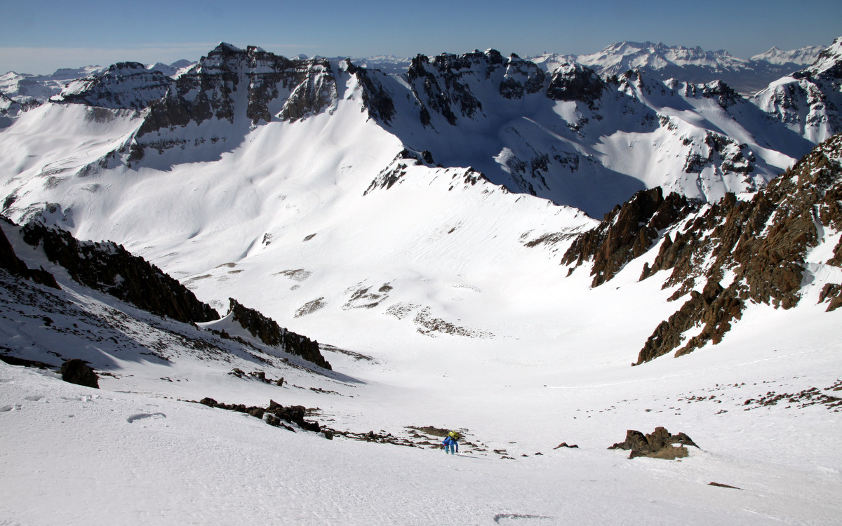
The next day a bunch of my buds (Ben Conners, Brian Miller, Marc Barella, etc) were planning their annual 14er Torreys Peak climb/ski and I was wanting to join them, especially since it was on the way down to Denver for our good buddy Jesse Hill’s 14th annual Summer Solstice extravaganza as well. All of these ski mountaineering rockstars typically climb and ski the northwest face of Torreys, aka the Tuning Fork Couloir, and hearing its a great spring ski on one of the longest snow climbs in Colorado (3,000′ couloir) I wanted to try my best to join these guys. I had climbed Torreys a few times previously via the standard route and Kelso Ridge, but never on the Northwest Face.

The Tuning Fork Couloir on the northwest face of Torreys Peak as viewed from the summit of Mt. Sniktau exactly one year ago when Kristine, the dogs, and I hiked Sniktau en route to Jesse’s Summer Solstice party in Denver. This day we ascended and skied the right branch of the Tuning Fork
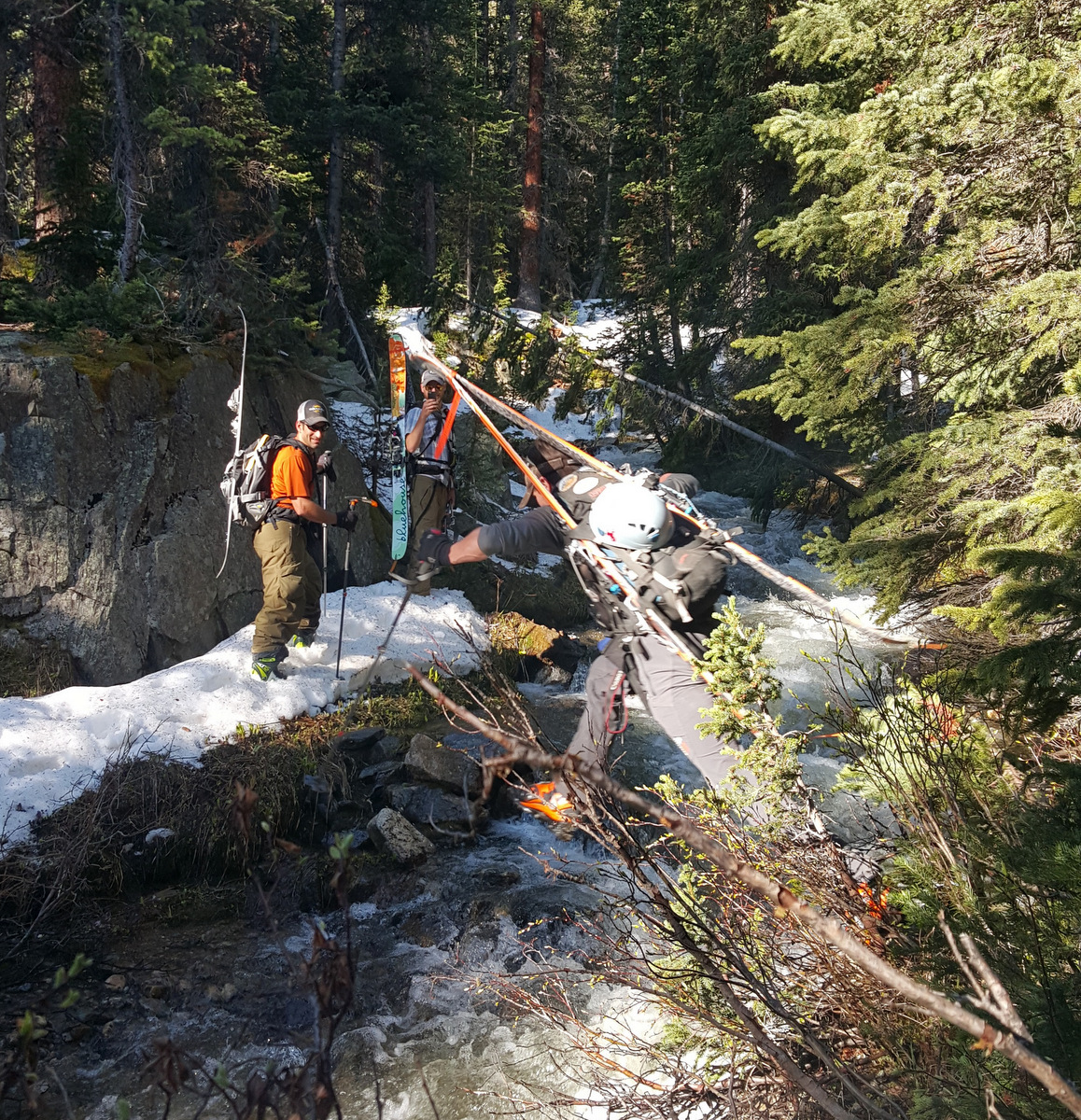
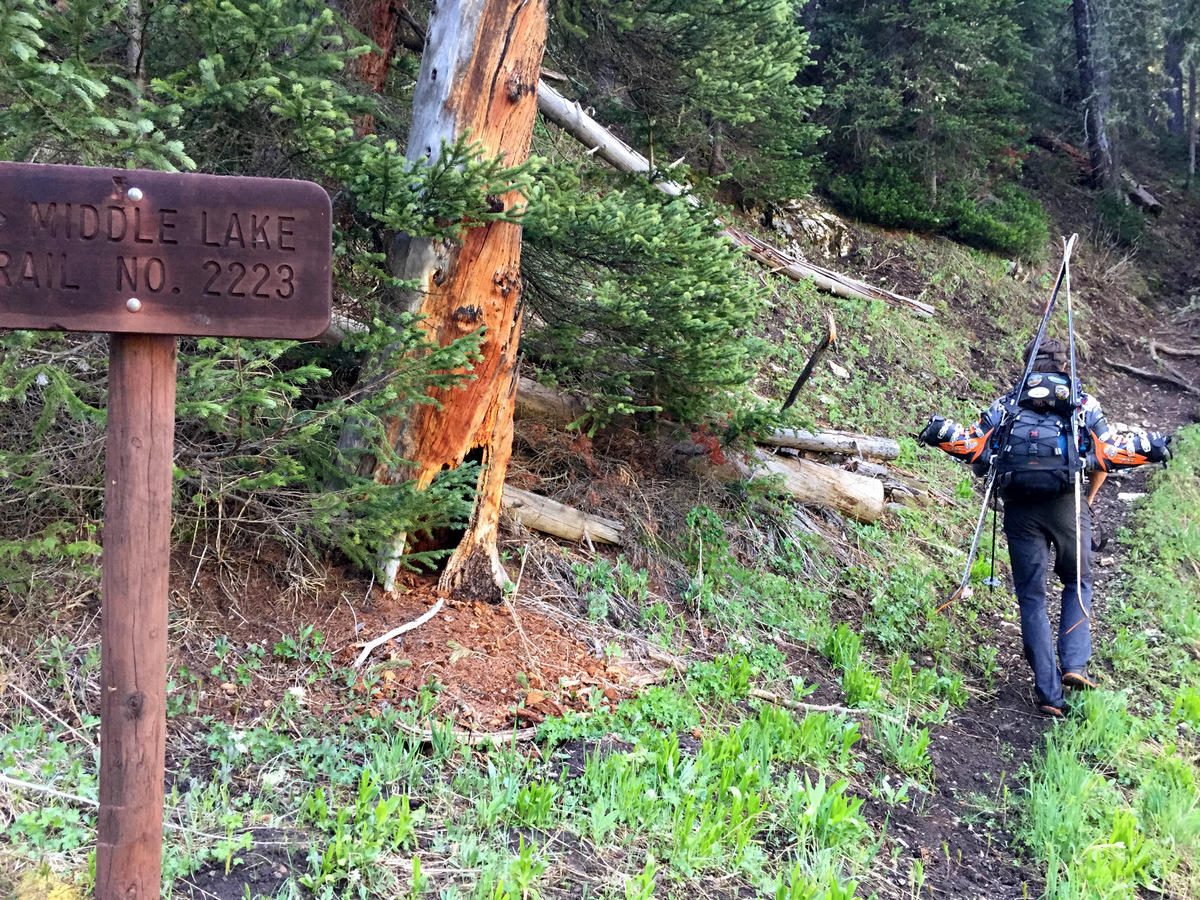
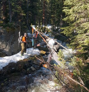
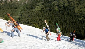
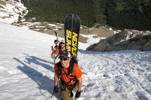
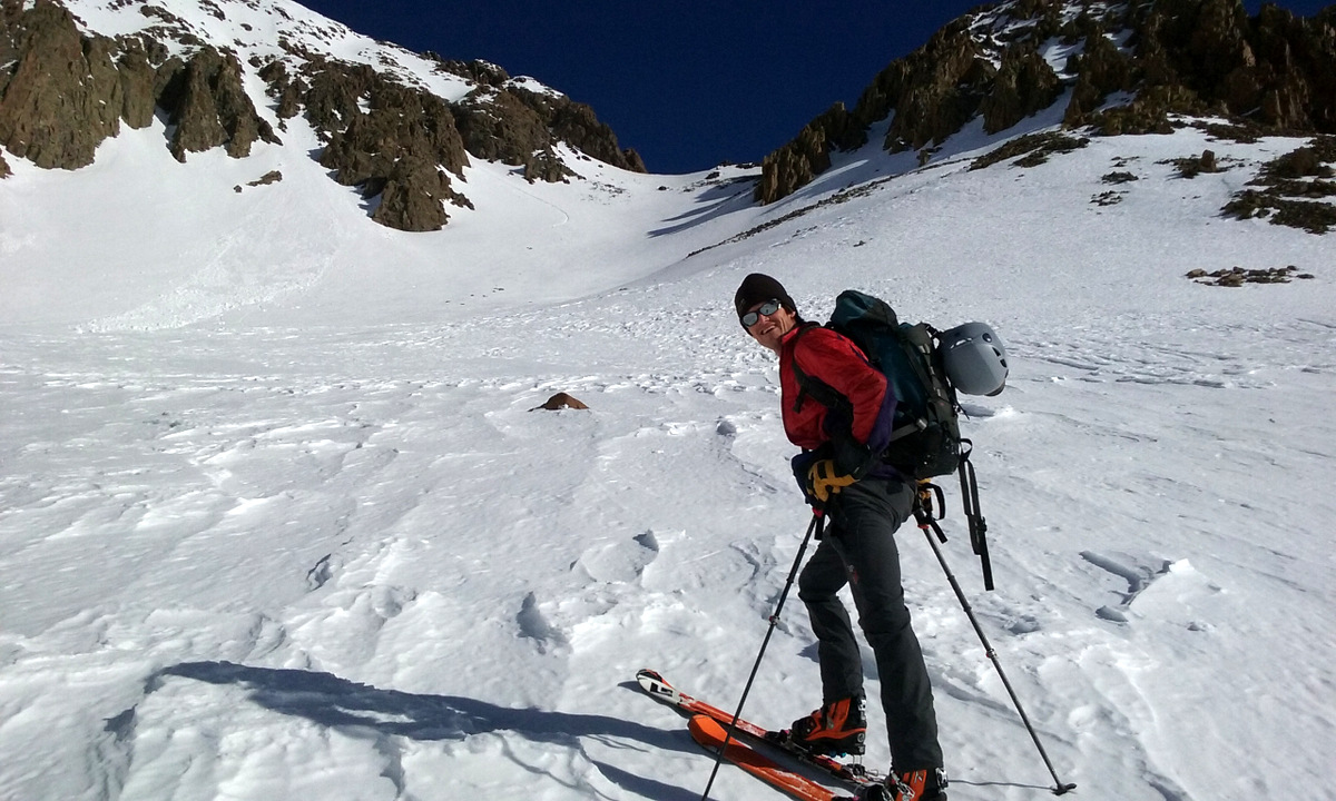
Kona and I left the house around 5:15am and met the other 9 fellas at the Bakerville Exit at around 6:45am. We jumped in with Carl leaving my truck right off I-70 at the base of Forest Service Road 189. I usually drive my truck everywhere, especially on dirt 4WD roads, but I figured why not give it a rest for once. We took the right onto the Grizzly Gulch 4WD road a mile and a half up, crossed a few streams, and parked in the meadow before the road really gets bad maybe at about 10,800′. Packing the skis on our packs, we made our way up the 4WD road and then crossed (jumped!) Grizzly Gulch Creek, which made for some entertainment.
Me jumping the creek. Photo by Rick
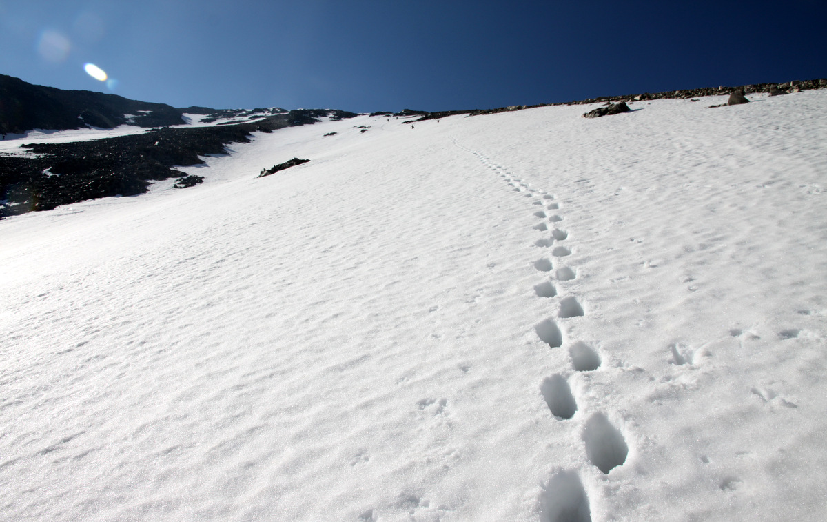
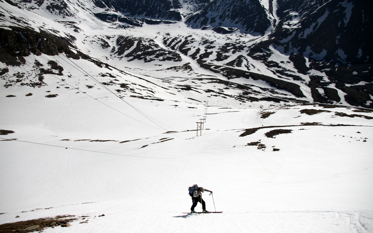
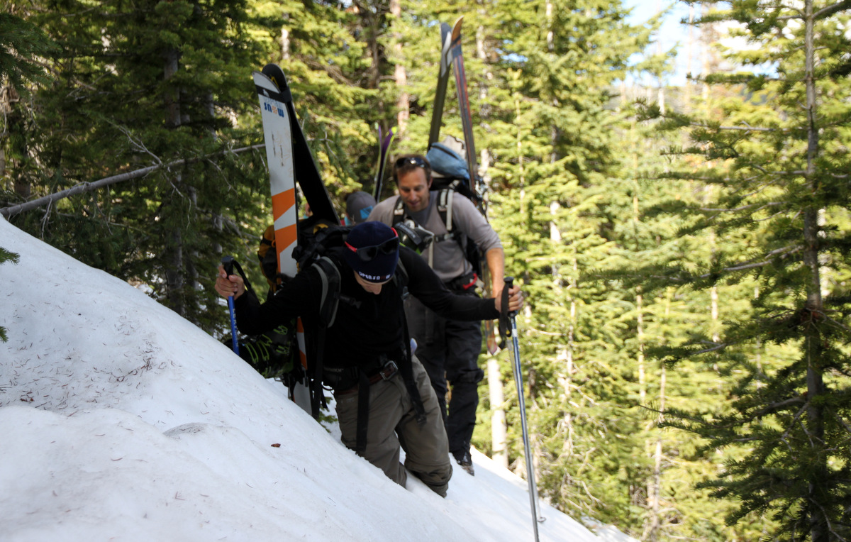
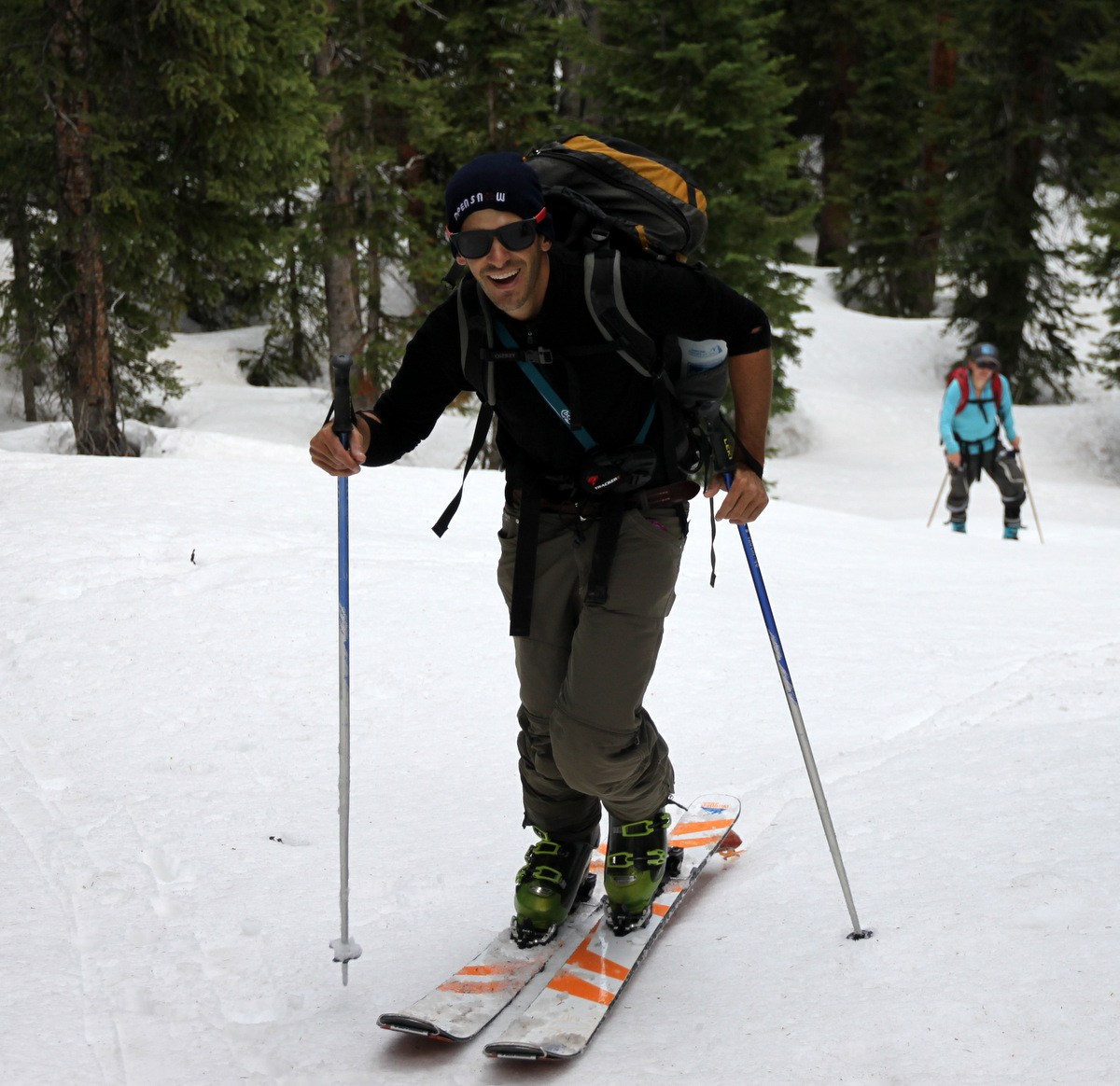
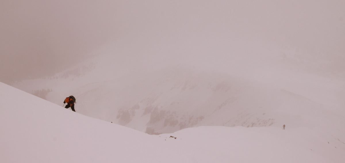
Shortly after the creek, we hit snow line and it was 3,000′ of nature’s stairmaster to the summit ridge. Fortunately, there was already a “booter”, i.e. previous boot steps in the snow, so it was simply one foot after another. The snow was pretty firm and made for good progress. Kona stayed in the booter most of the time because out on the face was fairly slick. It was a fun climb and despite carrying both my skins and crampons, I used neither.
The boys beginning the booter
Marc, Rick, & Ben in the Tuning Fork Couloir
The booter
Ben making progress with Marc & Rick below him
Carl
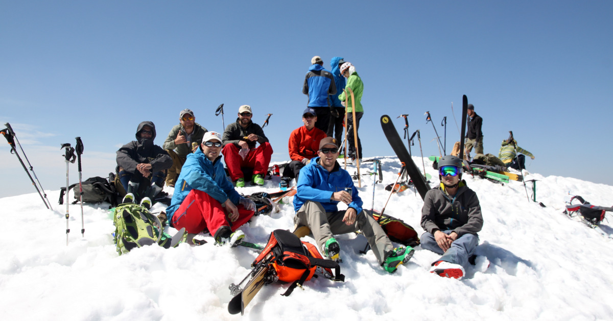
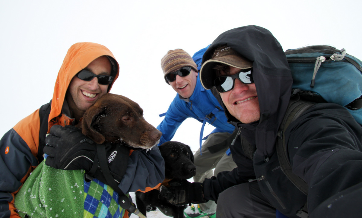
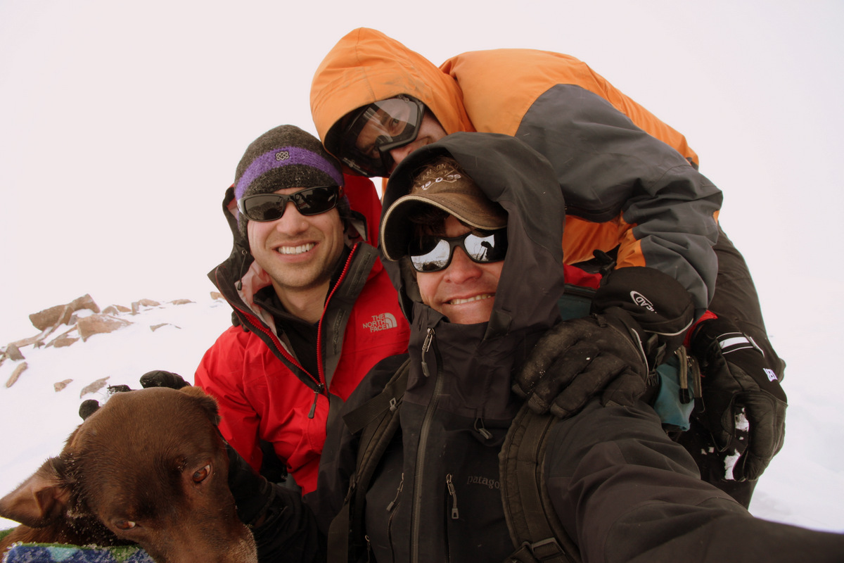
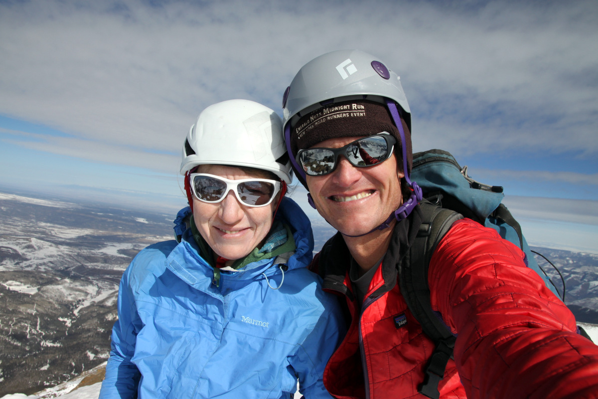
A few of us topped out around 10am for about 2 hours and 15 minutes to the summit. We all probably lounged on the summit for 30 to 45 minutes and enjoyed the views. It was a great time to be on a summit again with all these guys. Folks were impressed with Kona’s climbing and I gave her the 1/2 pound of food I had carried up the mountain as she definitely earned her breakfast this morning.
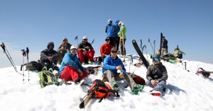
Lounging on the summit of Torreys
Looking down Kelso Ridge, the northeast ridge of Torreys

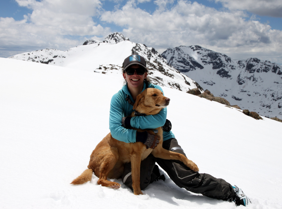
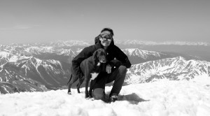
Kona & myself on top of Torreys Peak (14,267′) with Grays Peak behind
Another of us
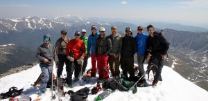
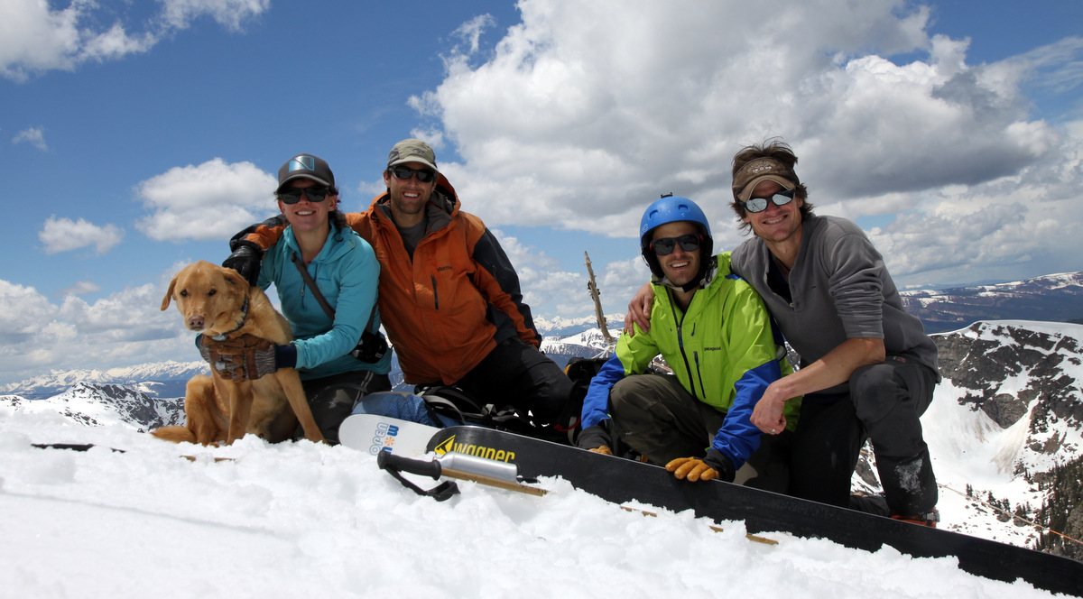
The crew on top
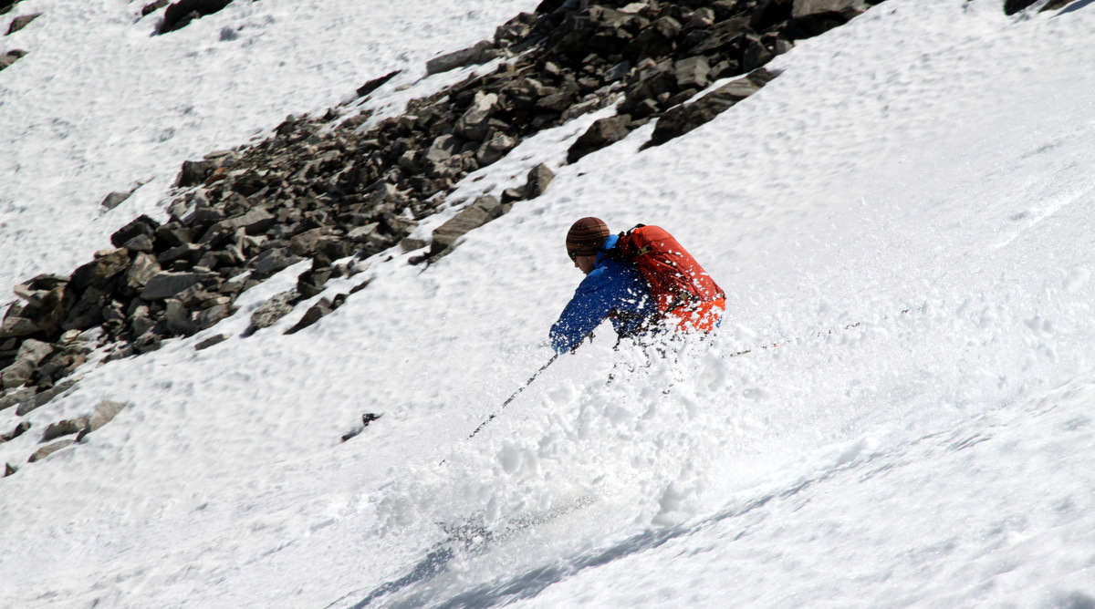
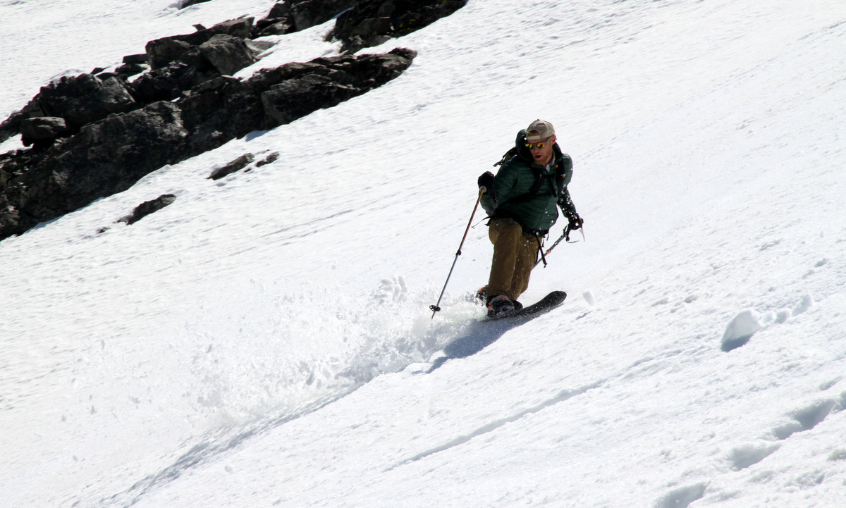
We then all clicked into our skis maybe 10′ below the summit and skied down the west ridge to the top of the Tuning Fork. The snow had warmed up nicely by 11am and we skied nice corn all the way down the couloir for 3,000′.
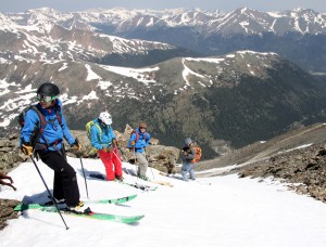
Some of the boys at the entrance to the Tuning Fork
Ben
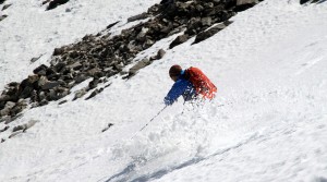
Ben slashing the corn
Carl spraying corn
Carl

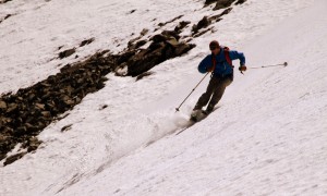
Telemark master Josh

Josh
Rick

Rick again
Josh & the Tuning Fork
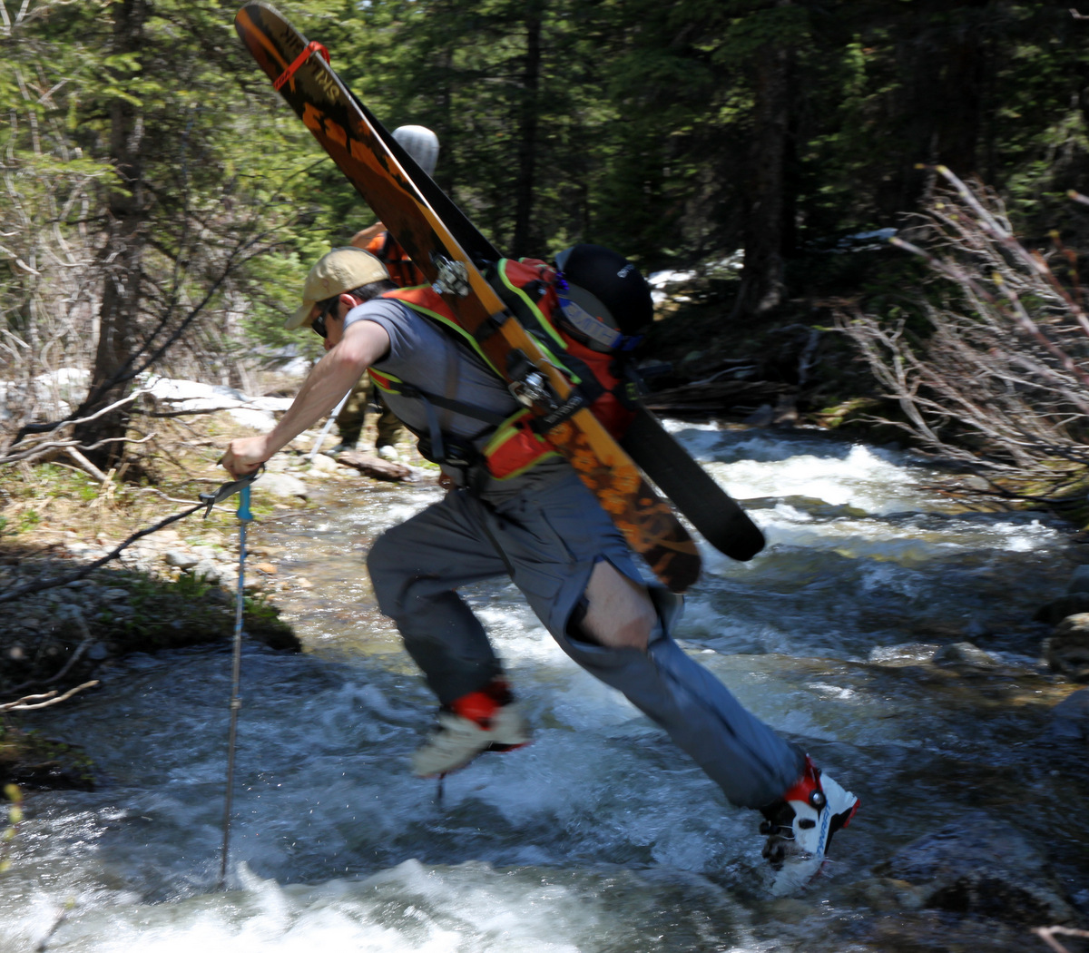
Kona was having some difficulty with how soft the snow was in the lower half of the couloir, so obviously I stayed with her and we took our time. She did great, though pretty exhausted. She was excited to get back to Grizzly Gulch Creek and get some water and cool off. We jumped our way over the creek once again. Only this time their was a casualty – my ski pole. Fortunately, it wasn’t my much more expensive whippet. I think I was so focused on not falling because of my camera, I completely lost focus on my poles. This is the second time a creek has eaten my ski pole and both creeks had the word “Grizzly” in their name. Maybe I should not try to jump any Grizzly Creeks anymore 🙂
Brian making the creek jump look easy
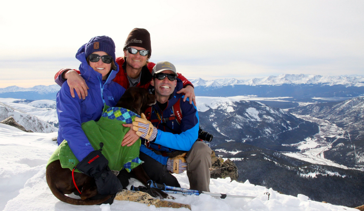
We got back to the trucks at around noon and I realized all the boys were going to cook out and drink some beer in the gorgeous meadow by the trucks. However, Kona and I needed to get back to I-70 and my truck so we could meet up with Kristine, Sawyer, & Rainie in Silverthorne. No matter. We just hiked the 2.5 miles down the 4WD road to my truck. It was fine, as it was mostly downhill, just hot. The few creek crossings felt great on my feet and legs. I should have just driven my truck up to the 4WD parking, but c’est la vie. Kona & I met up with the rest of the Chalk gals, left my truck in Silverthorne, and we all headed to Jesse’s 14th annual Summer Solstice party in Denver arriving around 2:30pm. Jesse outdoes himself every time with this party. Its simply amazing. He is such a good guy to put this on year after year for all of us. He has adapted this party over the years from our single days with no responsibility to all of us now having families an kiddos to the tune of having a large bouncy castle this year. Sawyer loved it and its almost like a mini-reunion for all of us. Rainier stayed near the pig the entire time getting droppings of pork while Kona was passed out on the lawn. We ended up leaving to head back to the mountains around 8:30pm and both dogs and Sawyer were racked out for the entire drive back to Vail.
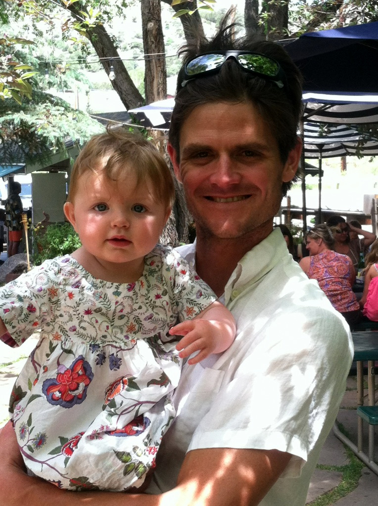
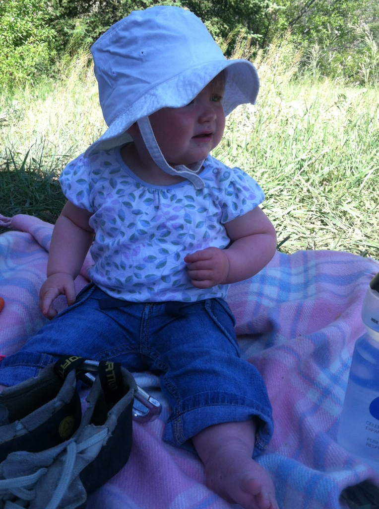
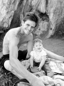
The next day was my 1st Father’s Day. Now, I know what it felt for my dad for these 37 (almost 38) years. Its’s wonderful. Between a great brunch at the Wolcott yacht Club, a much needed nap, and a little bouldering down at Wolcott, we all had a great and relaxing day. I just love my little Sawyer to the moon and back. She makes me the luckiest father on earth.

Father’s Day brunch

At the Wolcott Boulders
Happy to be together!
 Follow