Despite a pretty bad forecast for Sunday, Kristine, the dogs, and I thought we’d still head over to Summit County and make an attempt on the high centennial 13er, Mt. Silverheels (13,822′). Its been a horrible week for Colorado, especially the Front Range and Rocky Mountain National Park, in terms of weather and the resulting flooding that has devastated thousands of folks’ homes and caused a few deaths. Its a very unfortunate and tragic natural disaster. Nevertheless, we wanted to get out for a hike, had a few errands in Silverthorne to do anyway, and thought Silverheels would fit the bill well assuming we wouldn’t be run off by the high probability of cold rains and thunderstorms. Plus, it was a relatively short hike at 6 miles roundtrip up the west ridge with 3,600′ of vertical gain – something within the realm of Rainier’s capabilities these days. We got going at around 8:30am and bushwhacked our way up to Beaver Ridge at around 12,000′. We couldn’t see Silverheels’ summit and the clouds were moving fast in and out of the valleys. It was very damp and chilly outside but fortunately it wasn’t raining – yet. There was even some snow on the slopes ahead. We descended a few hundred vertical feet down and crossed (jumped) Beaver Creek and started the long 2,000′ climb up Silverheels’ west ridge.
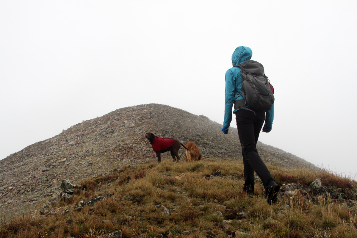
Kristine on the lower west ridge with the Beaver Creek drainage below
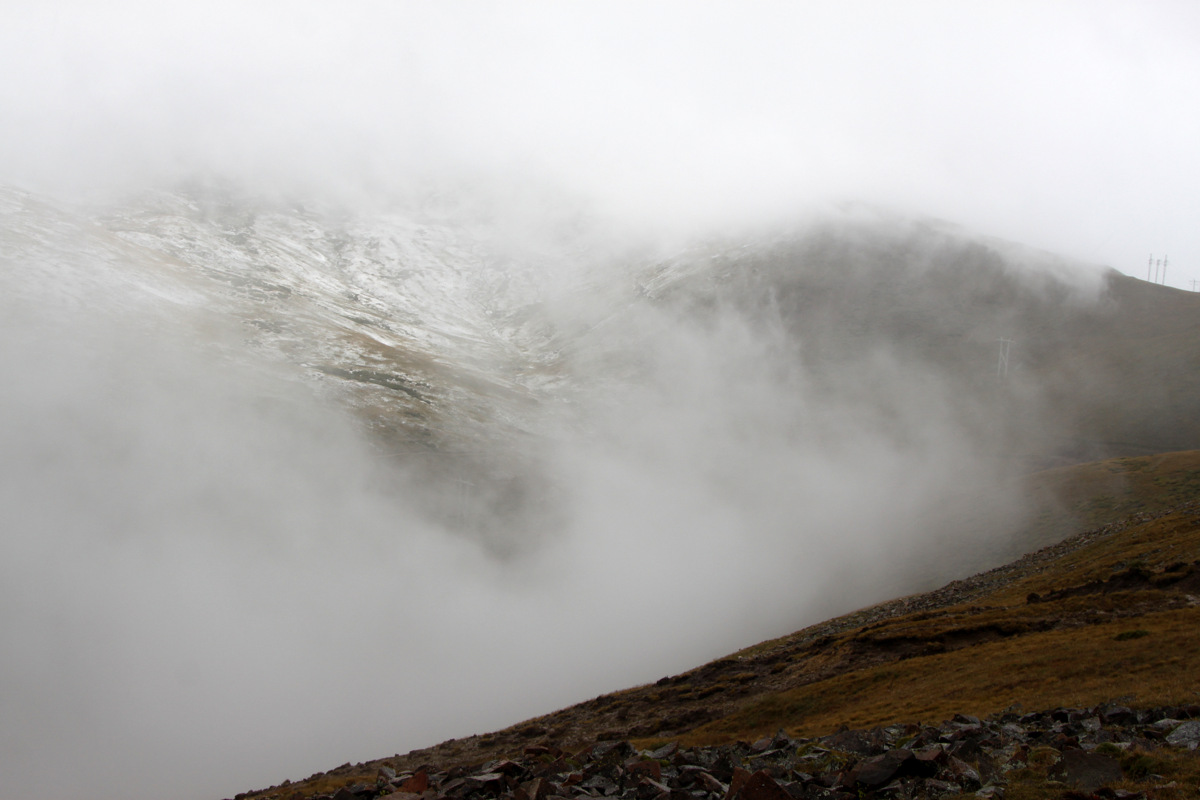
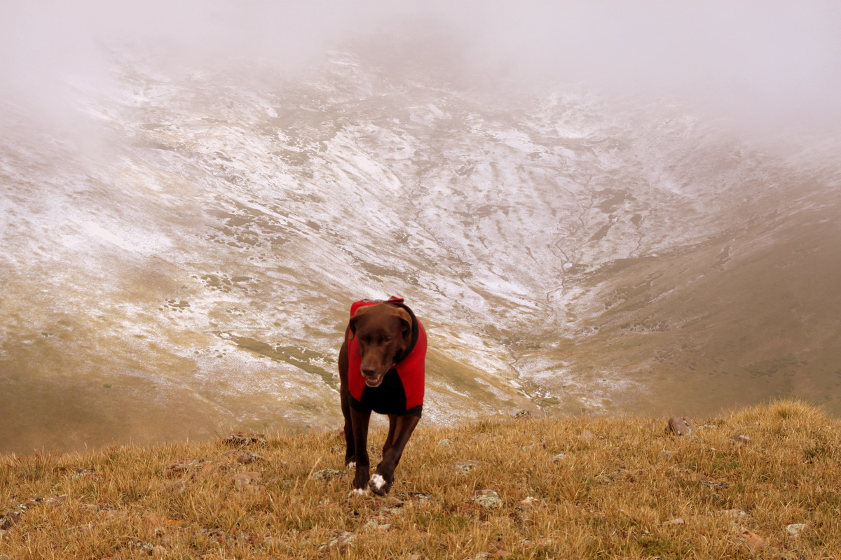
Thick clouds and snowy slopes
However, upon ascending the steep grass interspersed with boulders, the clouds came in and socked us in and it started raining. It was a pretty cold, steady rain for a good 45 minutes. The dogs got soaked as did our rain jackets. However, we kept going up thinking it would break a bit or perhaps we would get above the clouds. The sun came through ever so slightly a few times, but we were still thick in the clouds and it was still raining. Fortunately, the rain did stop once we reached Point 12,984′ but the thick clouds remained and navigating would have been tougher had we not had a due east heading to the summit.
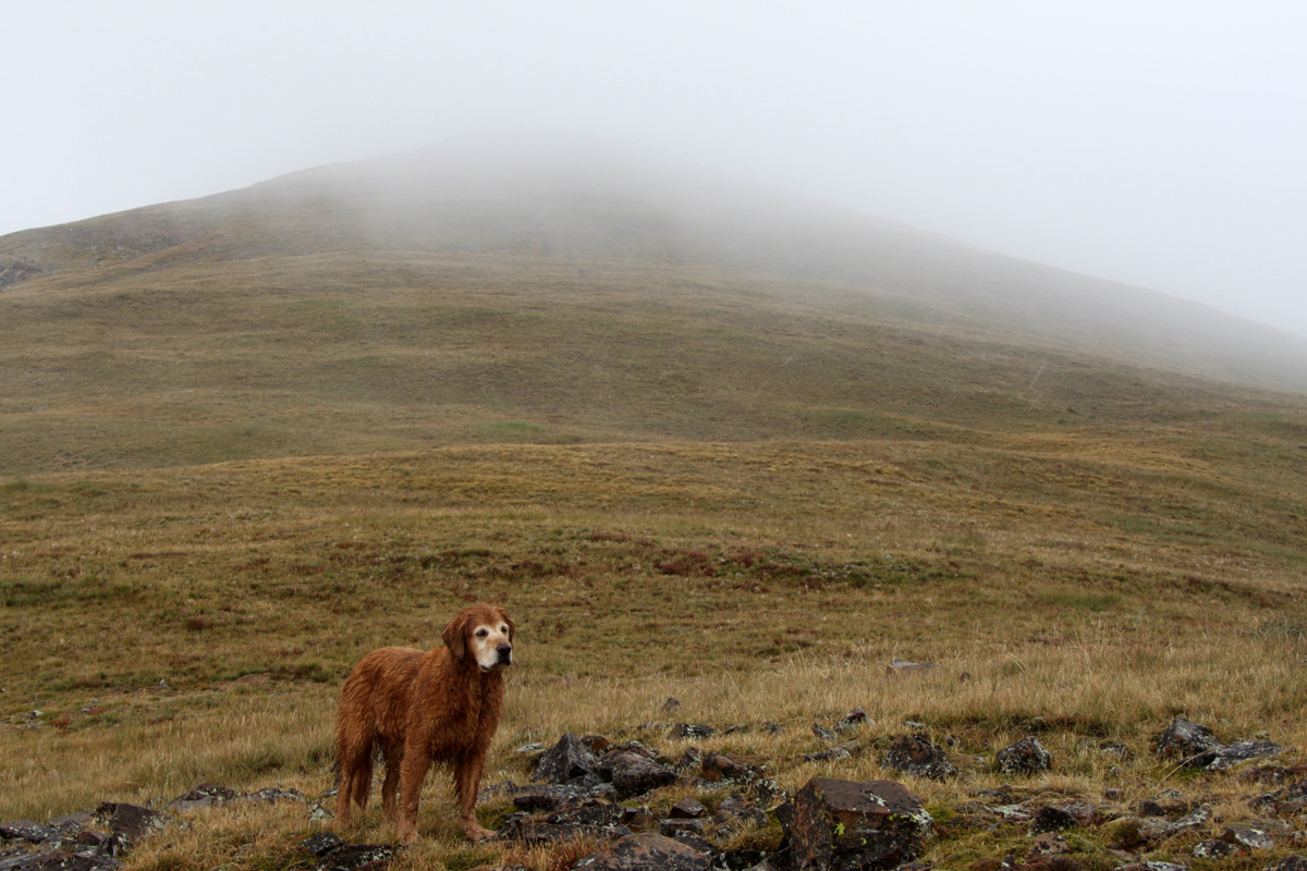
A drenched Rainie and some grassy slopes
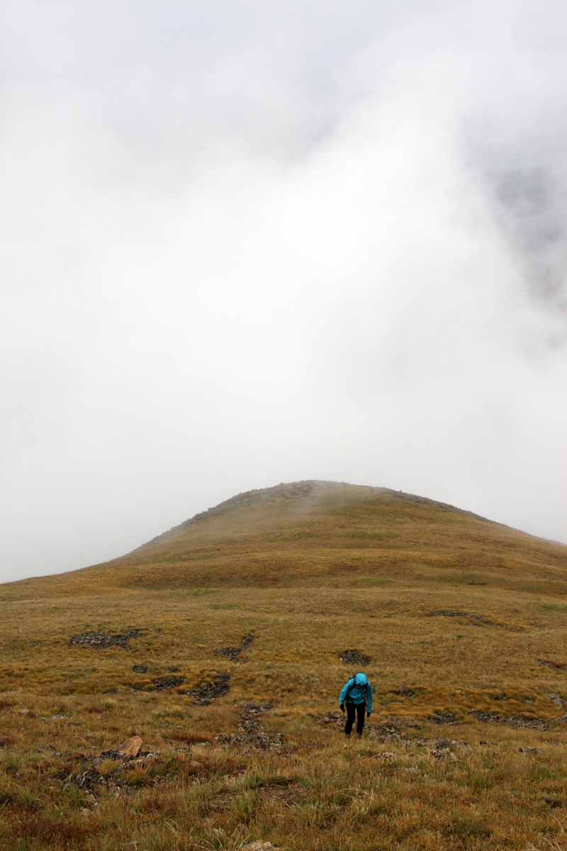
Kristine coming up the easy grass slopes around 12,000′
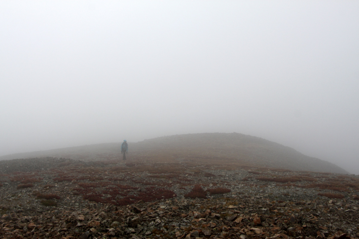
The remaining hike among grassy slopes and a bit of talus was pretty eerie with the clouds and the slopes seemingly went on forever since we had no idea if the next hump was the summit or the next or the next. However, at around 10:45am, we topped out at the summit cairn and we knew it was the summit with the summit register tube and the USGS benchmark for Silverheels.
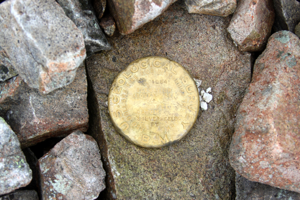
I like the “gold” color of Silverheels’ USGS benchmark
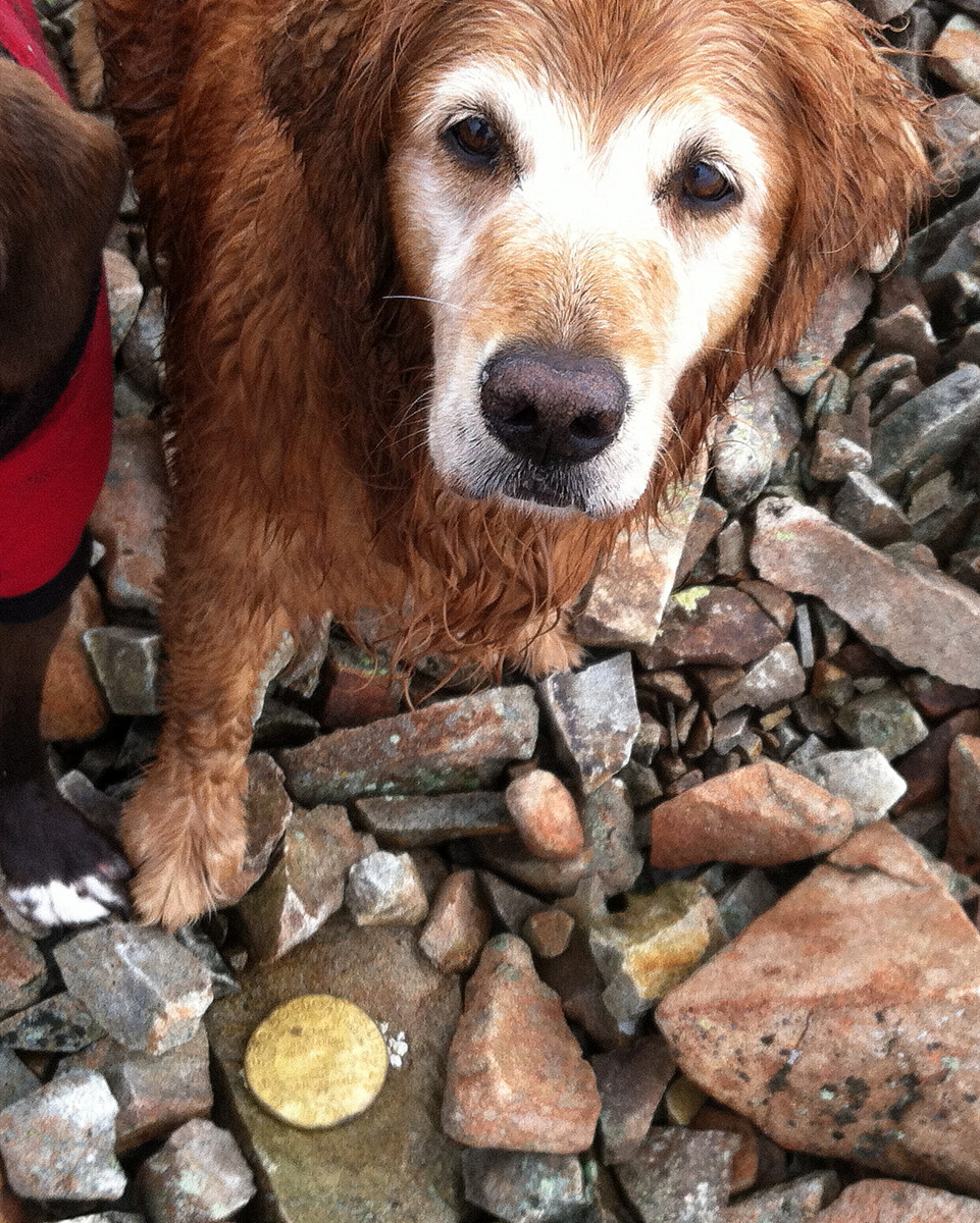
Yep, Rainie knows this is the summit
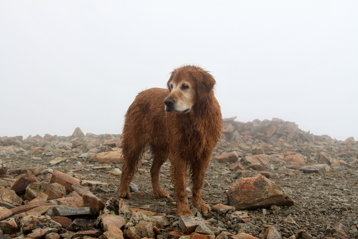
Rainie on the summit of Mt. Silverheels (13,822′)
Kristine coming up to Silverheels’ summit with wonderful views all around 🙂
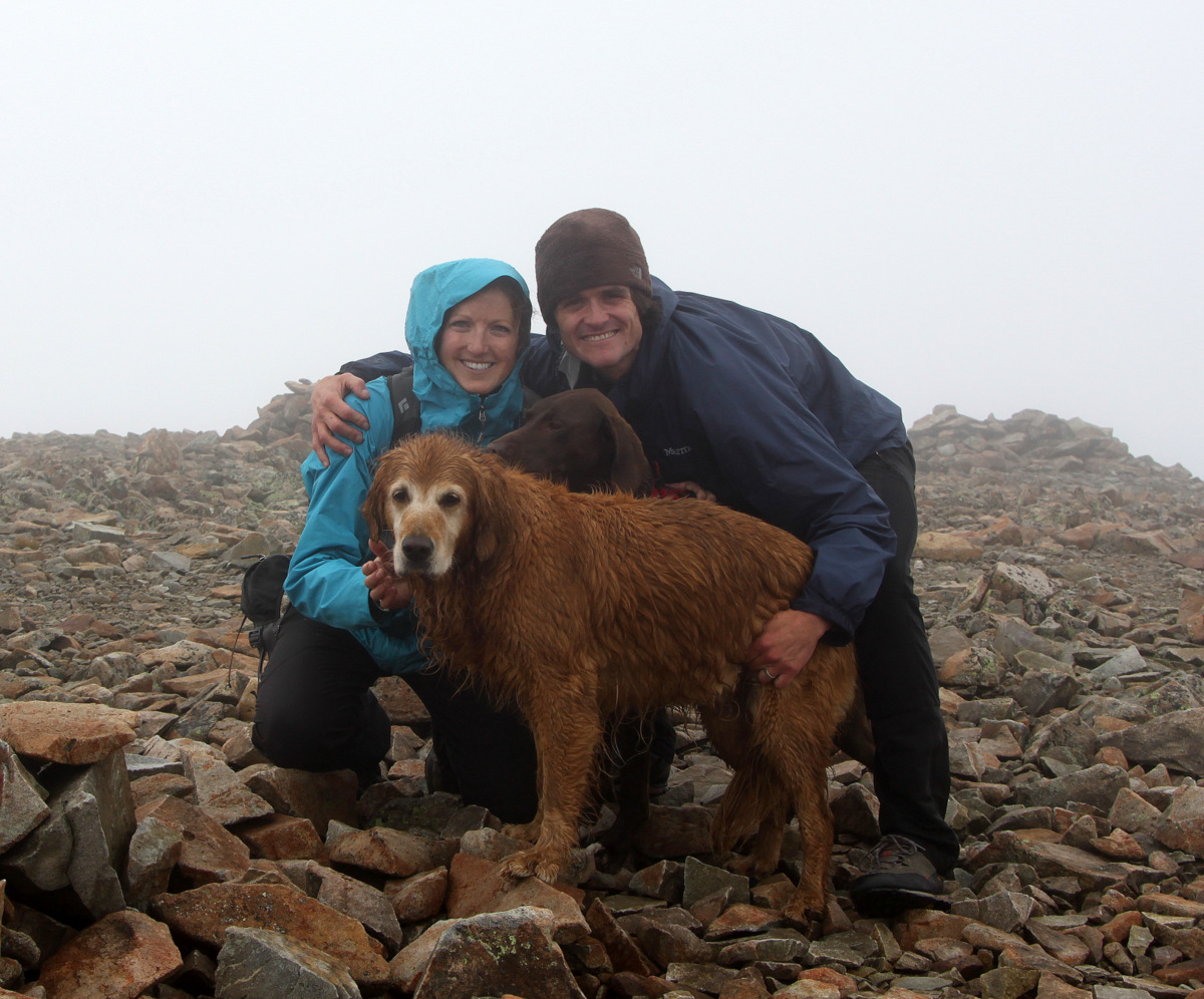
The Chalks on the summit of Mt. Silverheels (13,822′)
Views were non-existent and our shoes and gloves were soaked which made our extremities pretty cold. After a few pics, we headed due west in thick clouds and navigated carefully down the west ridge.
Kristine and the dogs heading back up to Point 12,984′ on the descent
Once we dropped below about 12,000′, we got below the clouds and the sun was shining and we were able to warm up
Kona happy we’re getting out of the clouds and into the sun
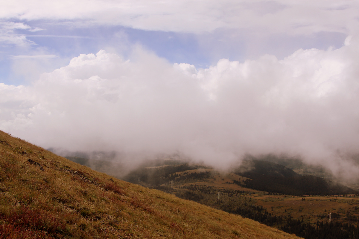
Cloud level
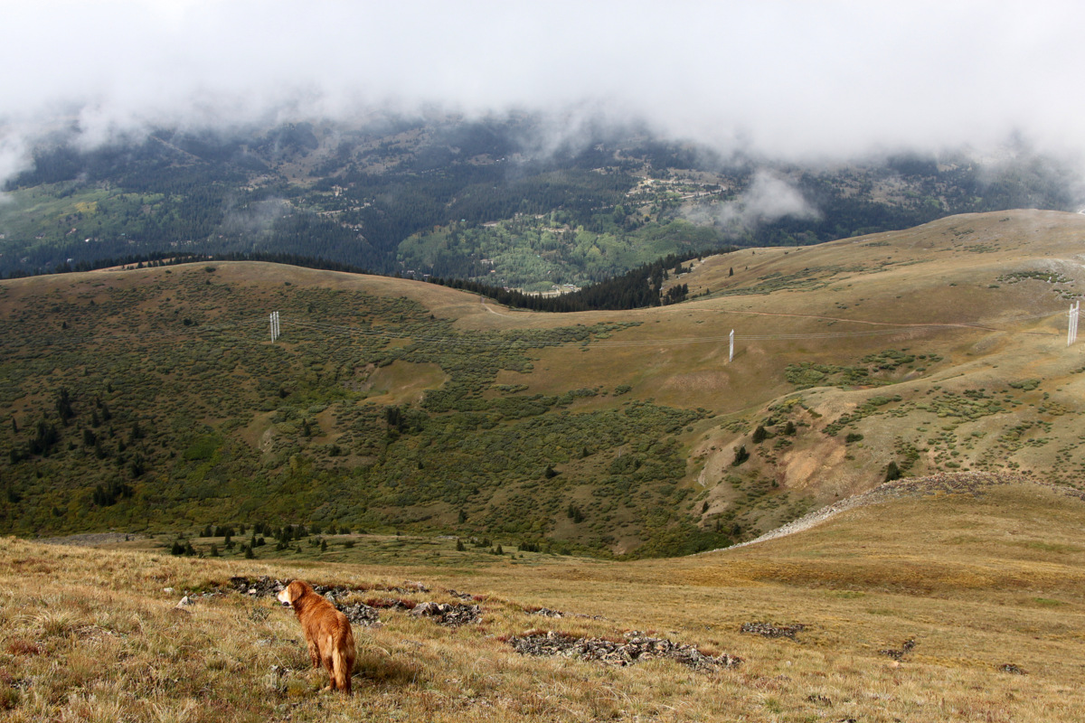
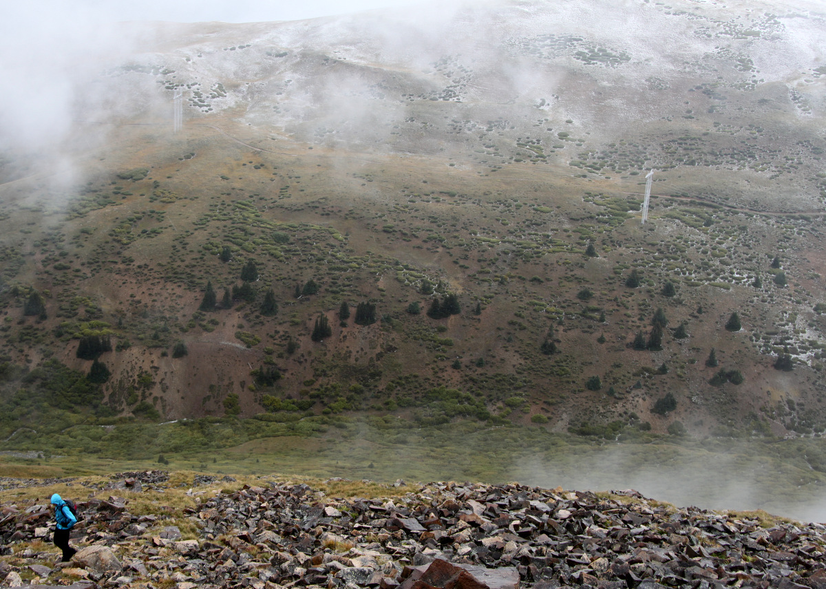
Rainie below the clouds with Beaver Ridge, the power lines, and the jeep road all visible below
.Crossing back over Beaver Creek, we hiked the old jeep road for a bit before descending back to our car on Highway 9. A monster rain storm loomed on the horizon ever since we reached Beaver Ridge and it was coming our way. We tried to hurry it up for the final 1,000′ descent in order to not get drenched. We reached the car shortly after 12:30pm just in the nick of time (literally 10 seconds) before the rainstorm really hit. Silverheels was a fun hike and would even make a better winter climb, so maybe we’ll put it on the calender one winter and hopefully get better summit views next time around.
 Follow


Trackbacks/Pingbacks