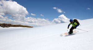
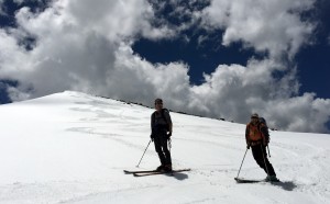
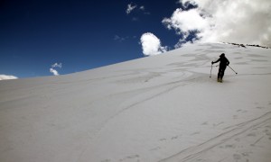
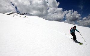
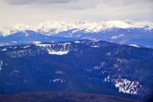
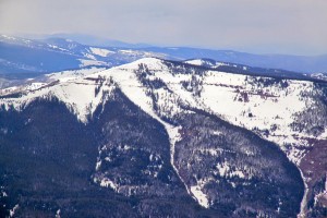
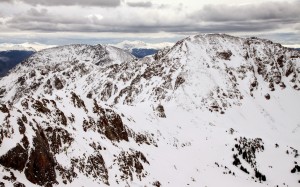
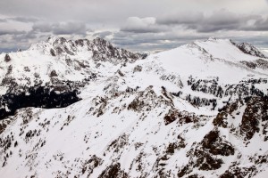
Skiing Finnegans

Despite having basically lived in Edwards for the better part of 12 years (except for a few year stint in Eagle-Vail with the fabulous friend & roomie Megan Gilman), I always glanced up at this nice peak looming far above the Lake Creek Valley and the town of Edwards dubbed “Finnegans” by locals. The official 13er Finnegan Peak (13,346′) is south of Finnegans along the same ridge a few summits over. It has a mellow north-facing slope from its 12,765′ summit down to treeline at around 11,400′. This tree-less alpine slope always looked like it would be a superbly fun ski. Well, it took 12 years to finally go ski it, but it was a great adventure with my good friends and the skiing down the north face yesterday (June 7) was just awesome creamed corn goodness. We all felt the patchy post-holing effort along the Middle Lake trail was well worth the skiing on the upper face.

I had hiked up Finnegans twice in the last decade. The first was with my friend Mike Johnson when we thought we could actually ridge-run from Finnegans all the way to 13er Gold Dust Peak with Rainier & Kona in an afternoon after arriving on Finnegans’ summit at an early ridge traverse alpine start of 10am. Yeah right. Oh how my mind/body’s appetite has caught up with my eyes over the years, i.e my eyes can’t write checks anymore my mind/body can’t cash. Then in fall of 2011, Kristine, Rainier, Kona, & myself did a nice hike up a dry Finnegans and had wonderful view of the fall colors and turning leaves in the valleys below.

All Chalks on the summit of Finnegans (12,765') in October of 2011

All Chalks on the summit of Finnegans (12,765′) in October of 2011

Fast forward to yesterday and good pals Joel Gratz, Tamra Malczyk, J Weingast, Gus (Tamra’s 11 year old wonder dog), & myself all piled into my Tahoe and bounced our way up the West Lake Creek Road (Baryeta Cabins Road as J and I call it) around 7:30am.

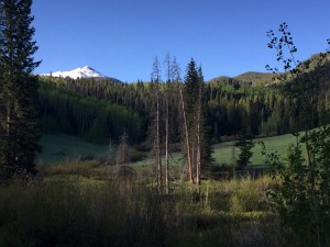
Finnegans as seen from a mile and a half in on the West Lake Creek Road. Photo by Joel

Finnegans as seen from a mile and a half in on the West Lake Creek Road. Photo by Joel

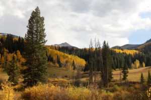
As compared to my photo of Finnegans in October of 2011 along this same stretch of road

As compared to my photo of Finnegans in October of 2011 along this same stretch of road

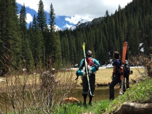
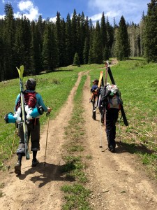
About a mile and a quarter before the end of the road (where we had hoped to drive to) a snow bank blocked easy passage. Yes, we maybe could have plowed through the 18″ high drift, but we played it safe and parked off the 4WD road. Skis/boots on our packs and trail running shoes on our feet, we boogied up the road to the Middle Lake trailhead.

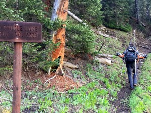
Me heading up the dry trail. Photo by Joel

Me heading up the dry trail. Photo by Joel

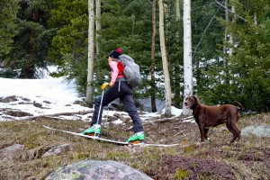
I had a hunch it would be off and on snow drifts along the mostly north-facing trail, but we perhaps did a little more post-holing than I anticipated. Putting the skis/skins on your feet really isn’t justified when the snowdrift is followed by 30 yards of dry trail. The snowdrifts were sloppy and deep. Our feet were soaked. J was smart to bring his gaiters. However, it was warm out and wet feet didn’t really matter all that much – it actually felt slightly refreshing.

Joel  in some deep post-holes

Joel in some of my deep post-holes along the Middle Lake trail

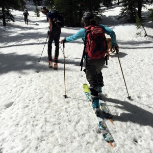
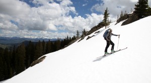
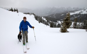
After negotiating some steep drifts on the trail that essentially hugs a cliff, we ventured into the mellow west-facing bowl and found continuous snow up through the trees. YES! We then donned our skins/skis and skinned our way up the remaining 1,000′ to treeline at around 11,400′.

Finally, we're on skis!

Finally, we’re on skis!

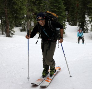
Joel

Joel

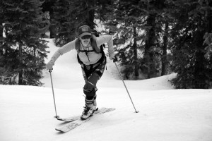
Tamra

Tamra

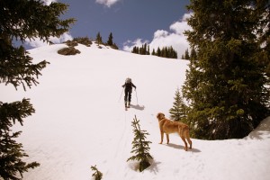
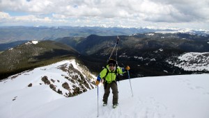
J heading up and out of the woods onto Finnegans' broad north face

J heading up and out of the woods onto Finnegans’ broad north face

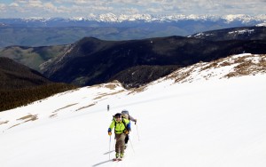
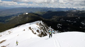
After being in the woods for a few hours, it was extraordinary to get above treeline and see the views really open up around us of all the familiar peaks and valleys.

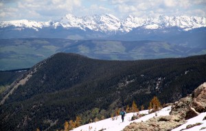
J and the Gore Range

J and the Gore Range

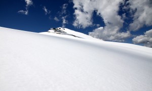
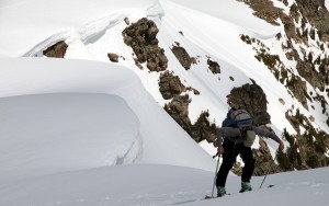
I guess the snow is still this deep up higher on north-facing aspects - likely 6' or so

I guess the snow is still this deep up higher on north-facing aspects – likely 6′ or so

Tamra and our favorite Gore Peaks towering in the distance

Tamra and our favorite Gore Peaks towering in the distance

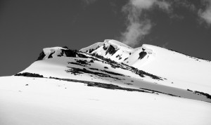
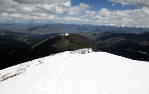
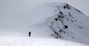
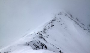
The mellow north ridge/face of Finnegans

The mellow north ridge/face of Finnegans

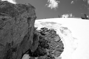
Cornices on the north ridge

Cornices on the north ridge

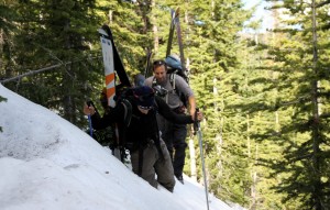
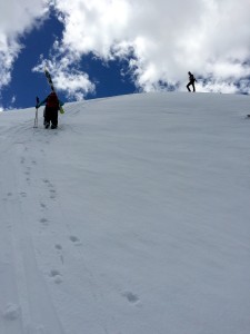
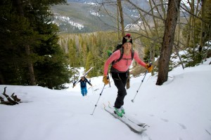
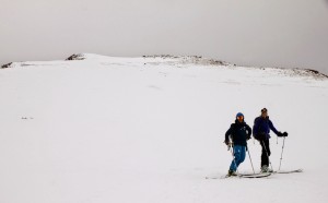
The crew skinning along

The crew skinning along

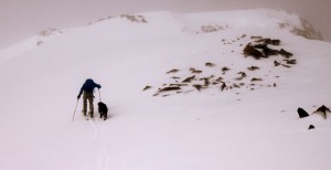
After an hour of mellow skinning we reached the final little headwall to Finnegans’ summit, which maybe reached 45 degrees but only for 30 feet or so. There were significant cornices on the north ridge’s east side, which made things a bit more dramatic (and made for cool pictures). J and I were able to skin the final headwall pitch while Tamra and Joel booted up. Gus, of course, booted up.

J doing some steep skinning

J doing some steep skinning

Tamra booting up the final pitch with me looking on from above. Photo by Joel

Tamra booting up the final pitch with me looking on from above. Photo by Joel

Tamra booting up the final pitch

Tamra booting up the final pitch

Joel topping out on Finnegans

Joel topping out on Finnegans

It was a great summit from the views and the crew to the warm air temperatures(short sleeves were acceptable). We probably hung around for 30 minutes up top taking pictures and giving Joel and Tamra a peak tour of the northern Sawatch. The Elk Range looked amazing as well from this perch as did Mt. Sopris. So fun to see this much snow above 10,000′ in June.
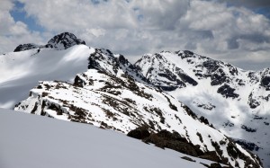
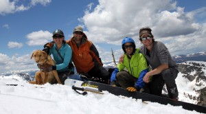
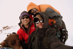
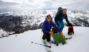
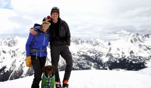
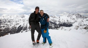
All of us on the summit of Finnegans (12,765') on a beautiful June 7, 2015

All of us on the summit of Finnegans (12,765′) on a beautiful June 7, 2015

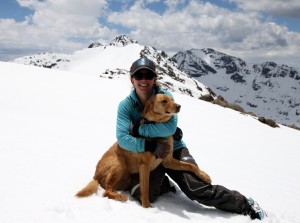
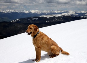
Tamra & Gus

Tamra & Gus

Looking south to Finnegan Peak (left, closer summit) & Gold Dust Peak (right, far back summit from the summit of Finnegans

Looking south to Finnegan Peak (left, closer summit) & Gold Dust Peak (right, far back summit) from the summit of Finnegans

Summit panorama by Joel

Summit panorama by Joel

Gus

Gus

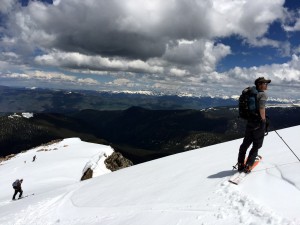
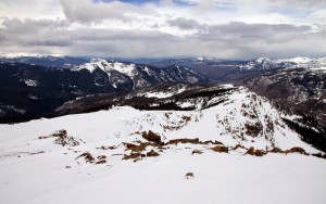
Looking down the north ridge/face of Finnegans

Looking down the north ridge/face of Finnegans

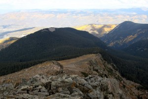
As compared to this photo in October of 2011

As compared to this photo in October of 2011

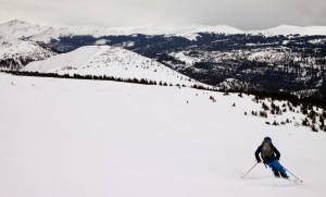
We then descended maybe around 12:45pm and the turns down the 1,400′ north ridge/face were just plain awesome. So enjoyable.

Joel getting ready to depart the summit

Joel getting ready to depart the summit

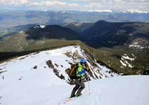
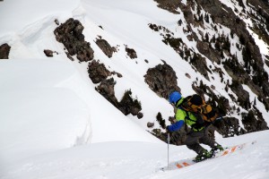
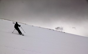
Joel skiing the steep headwall pitch

Joel skiing the steep headwall pitch

Panorama by Joel

Panorama of me below the summit headwall pitch by Joel

Me, J, & Tamra way below. Photo by Joel

Me, J, & Tamra way below. Photo by Joel

Joel took these videos of J and I skiing off the summit and then J and Tamra a bit lower down:

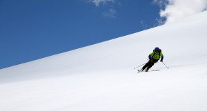
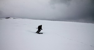
Most of the slope was only probably in the 20-25 degree range and was so much better than I imagined. With all of the warm temperatures as of late, I was expecting super sloppy deep snow. There was actually a firm base and creamy corn on the surface good enough to slice through like butter. A majority of the steeper lines all around the state have seemed to wet slide in the last week or so (from what I gather) and still remain a hazard with the warm temperatures and very little overnight freezing. So, it was nice to get on a moderate slope that would take an earthquake to avalanche.

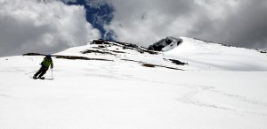
Joel

Joel

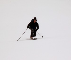
Joel again

Joel again

And, Joel again

And, Joel again

J & myself. Photo by Joel

J & myself. Photo by Joel

Tamra

Tamra

Tamra again

Tamra again

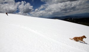
J & Gus

J & Gus

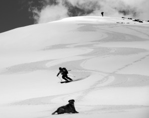
Jowl skiing the north ridge/face

Joel skiing the north ridge/face

Doesn't look like this guy is having fun at all :)

Doesn’t look like this guy is having fun at all 🙂

A plug for Mr. Gratz

A plug for Mr. Gratz. Photo by Joel

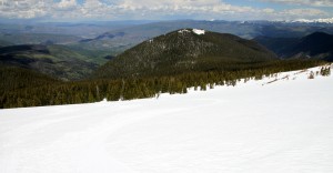
The last bit to treeline. Snowslide Park is the summit in the distance with the snowy top

The last bit to treeline. Snowslide Park is the summit in the distance with the snowy top

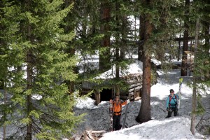
Once we returned to treeline, the skiing got a bit worse and punchier, but still definitely skiable all the way down to about 10,500′ where we started the snowdrift post-holing along the steep north-facing Middle Lake trail. J noticed something in the woods and I should have remembered he’d go nuts at the small little disheveled cabin near where we put our skis/skins on our feet that I had seen a few years ago. He always goes “kookoo” for abandoned backwoods cabins.

J, Gus, Tamra, & the abandoned cabin

J, Gus, Tamra, & the abandoned cabin

Tamra actually skied the hiking trail’s drifts a lot of the way down. Of course Tamra did. We then arrived back at the Middle Lake trailhead and started the 1.25 mile back up the West Lake Creek Road to my truck finally arriving around 3pm.

Looking up at New York Mountain from the Middle Lake trailhead. Photo by Joel

Looking up at New York Mountain from the Middle Lake trailhead. Photo by Joel

On the road again. Photo by Joel

On the road again. Photo by Joel

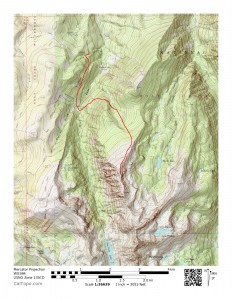
A look at our route for the day from where we parked on the West Lake Creek (Baryeta Cabin) Road

A look at our route for the day from where we parked on the West Lake Creek (Baryeta Cabin) Road

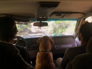
Some of the best gems in life you can find in your own backyard. I think we may have found one here in terms of fun adventure and moderate skiing. And, we didn’t even have to get on Interstate 70 to do so. It was a very enjoyable day for all. All told per Joel, it was around a 3,500′ vertical gain day in about 9 miles roundtrip. One thing I did learn – Gus likes Rainie’s front seat view of bumping along on 4WD roads:

Photo by Joel

Photo by Joel

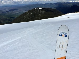
A little link to Joel’s take and his daily weather forecast over on OpenSnow is http://opensnow.com/dailysnow/colorado/post/4105.

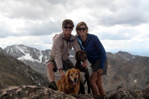
Stormy Weather on Jacque

My buddy Ben Conners texted me on a Saturday to see if I wanted to join the following day and skin/ski 13er Jacque Peak to the south of Copper Ski Mountain. Jacque Peak is fairly close to Interstate 70 and Highway 91 yet remains elusive to skiers due to its proximity to the Climax Mine, which flanks the peak’s east and southern slopes. I was itching to get back on the skins and skis and told Ben I’d meet he and his wife Anna-Lisa and their new dog Jax at 7am Sunday morning despite a not so ideal forecast as has been par for the course this spring. J and Derek joined me as well and we all three plus Kona rolled the 25 minutes over to Copper in my truck in a rain/snow downpour. Whatever…we were thinking at least we’d get a nice skin up Copper Ski Mountain and then if the weather was horrendous, just ski down. Plus, I was thinking perhaps I would fare better than my last adventure up Jacque from the east and Highway 91 not in terms of skiing and a gorgeous bluebird corn-filled day, but in terms of the aftermath when we returned to the car. That account can be read here. I believe we all agreed that the best possible method of approaching Jacque with the intent of skiing it is from Copper after the ski mountain closes. Copper doesn’t allow uphill travel during ski operating hours. We learned that in another experience up Copper Creek from Highway 91 and the Climax Mine area attempting Jacque in this report. It was wonderful to finally meet Anna-Lisa (AL) and their new dog Jax in the parking lot at Copper’s base. We then all started leisurely skinning up the resort gaining about 2,200′ to the summit of Union Mountain and the top of the uppermost lift in 2 hours or so. The weather was snowy and socked in somewhat but there were glimpses of sun here and there and the occasional blue sky.
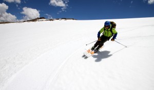
Ben & Jax skinning up Copper Ski Mountain

Ben & Jax skinning up Copper Ski Mountain

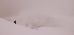
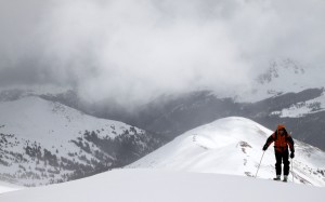
However, when we reached the ridge, the stiff west wind battered us pretty hard. It wasn’t cold (air temp was still in the 30s), but the wind was pretty sustained and just plain brutal as it pelted us with hail and snow with the clouds moving across the ridge and Jacque Peak ahead. AL was on snowshoes and looked ahead at the long ridge with the wind whipping and decided to remain at the top of the Union Lift for a bit before descending down Copper’s ski slopes. Probably a good call as the weather was fierce the rest of the way up Jacque’s northeast ridge. Jax followed Ben, Kona followed me, and J and Derek pressed on as well over the bumps along the ridge. Thank goodness it wasn’t cold air temperature-wise as we would have turned around if not for ourselves then definitely for the dogs. We knew skiing the loaded east face was out of the question considering we could hardly see it, so we just all agreed to hit the summit and ski the northeast ridge back down. My only concern was Kona getting cold, but she had her Fido Fleece jacket on and I believed she would be ok considering it wasn’t that cold out. However, I didn’t want her to be miserable on her 8th birthday (yes, that Sunday May 17 was Kona’s birthday), but it was a quick up and down. Part of me just wanted to turn around with Kona as I had summitted Jacque previously, but then again I wanted to be with Ben, J, & Derek as this would be their first time up the peak. We continued upwards.

Ben & Jax motoring ahead where Jacque's northeast ridge  begins to climb

Ben & Jax motoring ahead where Jacque’s northeast ridge begins to climb

Ben & Jax making their way in not so ideal weather

Ben & Jax making their way in not so ideal weather

J & Derek

J & Derek

The entire northeast ridge is very skinnable and you can leave your skis/skins on the entire time. Ben & Jax topped out on Jacque’s 13,205′ summit, followed by me and Kona, and we took some pics and enjoyed what we could of the view.

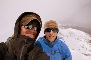
Ben & myself on Jacque's summit (13,205')

Ben & myself on Jacque’s summit (13,205′)

J approaching the summit in a clearer spell of weather

J approaching the summit in a clearer spell of weather

Happy birthday, Kona! Sorry, we are on top of a cold mountain!

Happy birthday, Kona! Sorry, we are on top of a cold mountain!

Ben & Jax skied down while J and I waited for Derek to join us, took a few pics, and then Kona & I descended.

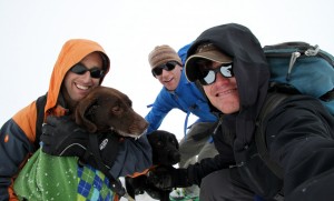
J, Derek, Kona, & myself on Jacque's summit

J, Derek, Kona, & myself on Jacque’s summit

J & Derek skiing Jacque's northeast ridge

J & Derek skiing Jacque’s northeast ridge

It was a fairly quick descent and soon enough after some skating with skis on and a final boot up to the summit of Union Mountain we were home free for 2,200′ of fun powder down Copper’s ski slopes. The ski down Copper was the most fun portion of the 5-1/2 hours out. 4″ of creamy powder on top of a hard base equates to one fun time.

Derek showing off my Mammut pants and his ski skills en route back down Copper's ski slopes

Derek showing off my Mammut pants and his ski skills en route back down Copper’s ski slopes

Back down at the base we headed to the Healthy Tomato for a sandwich and said our goodbyes. Other than a little wind burn on the cheeks and nose and a tired pooch, we all escaped Jacque fairly unharmed and had a good time to boot. I think Kona enjoyed her 8th birthday. At least, I keep telling myself that.

Kristine Earns her Masters Degree

Well, amidst completing the 7 Summits, have a full time job at Red Sandstone Elementary School in Vail, being pregnant, raising our 7-1/2 month old daughter, and doing countless other climbs and adventures, Kristine managed to close out her multi-year graduate school endeavor and earn her Master’s Degree from the University of Colorado at Boulder’s School of Education. To say it is a relief that the classes and papers is finally over is likely the understatement of the year, but it is just all so very impressive Kristine pulled this off with everything else going on in her life. However, I’m not surprised. Not one bit 🙂 Anyway, Ken & Dianne made the journey out to Colorado to see their granddaughter and watch Kristine walk and receive her diploma on a very rainy graduation Friday in Boulder.

The graduate!

The graduate!

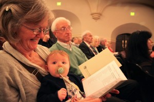
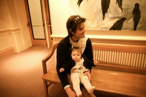
Sawyer catching up on the program itinerary with Dianne

Sawyer catching up on the program itinerary with Dianne

All the Masters and PhD candidates in the auditorium

All the Masters and PhD candidates in the auditorium

Kristien receiving her diploma

Kristine receiving her diploma

Dianne and myself took turns hanging with Sawyer in the lobby during the 2 hour ceremony, but overall Sawyer did extremely well. Had only the weather been better we could have all enjoyed the outdoor reception, but we made the most of it inside with fun pictures of the graduates and family.

In the lobby

In the lobby

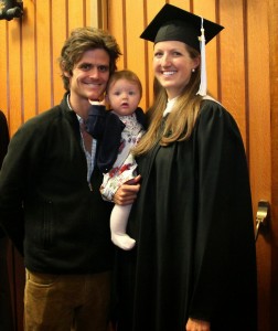
The graduate & Sawyer

The graduate & Sawyer

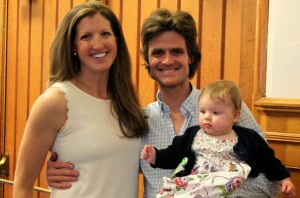
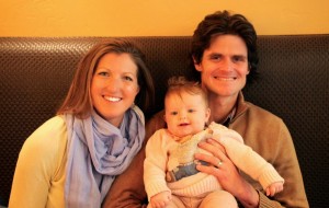
The three of us

The three of us

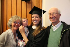
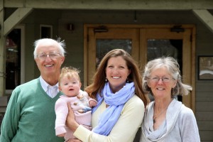
The Oelbergers

The Oelbergers

So proud of Kristine!

So proud of Kristine!

Sawyer was ready to go and the weather was only getting worse, so we all loaded up the Oelberger’s rental van and headed back up the hill in a torrential downpour for 2 hours. With the Oelbergers in town, obviously they want to spend time with their granddaughter, so the next day Kristine, Kona, Rainier, & myself headed west to Grand Junction and Colorado National Monument to do some climbing just the 4 of us like old times. The weather was horrible all over the state and even all around us in Fruita to the north and Escalante Canyon to the south, but somehow we escaped any precipitation in Monument Canyon all day long though we could see it in every direction. It was a good day.

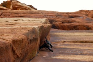
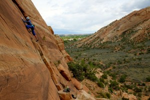
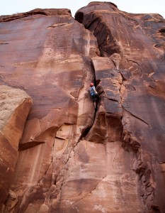
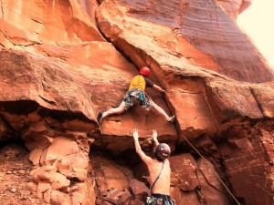
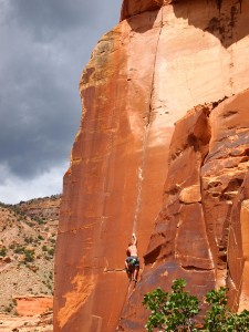
Kristine on the lengthy 110' 5.10a route called Wide Load

Kristine on the lengthy 110′ 5.10a route called Wide Load

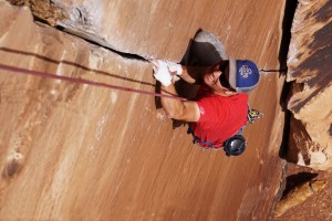
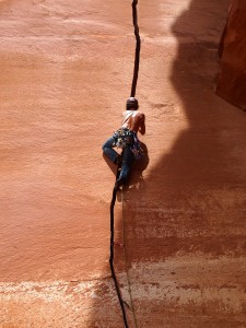
Close-up of Kristine jamming

Close-up of Kristine jamming

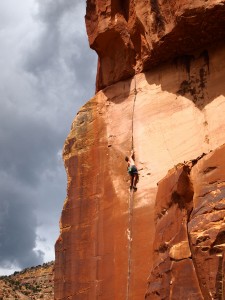
Kristine in the offwidth portion of Wide Load

Kristine in the offwidth portion of Wide Load

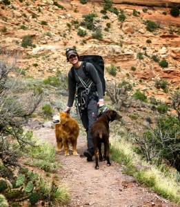
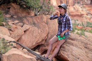
Me & the dogs

Me & the dogs

Stormy weather all around

Stormy weather all around

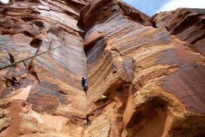
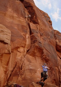
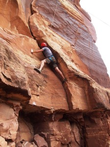
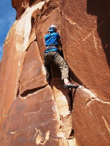
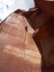
Me leading the fun layback 5.8+ route called Left Dihedral

Me leading the fun lieback 5.8+ route called Left Dihedral

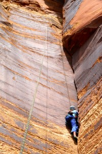
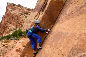
Kristine honing her layback skills

Kristine honing her layback skills

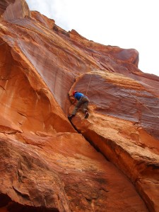
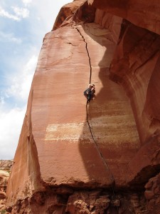
Me at the chains after leading long 120' Luhr's Route (Right Dihedral), which goes at 5.9 or so

Me at the chains after leading long 120′ Luhr’s Route (Right Dihedral), which goes at 5.9 or so

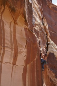
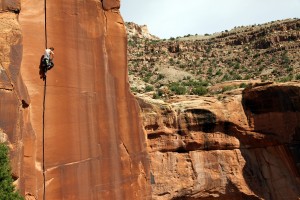
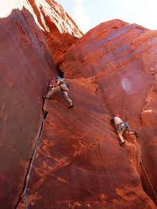
Kristine climbing the crux face climbing portion of Luhr's Route in Monument Canyon

Kristine climbing the crux face climbing portion of Luhr’s Route in Monument Canyon

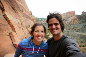
Good to be out together

Good to be out together

The following day (Sunday) was Mother’s Day and we had an amazing brunch at the Wolcott Yacht Club. I had not eaten brunch there in 7-8 years, and boy was it awesome. I think we all wish we could go there every weekend for brunch.

At brunch

At brunch

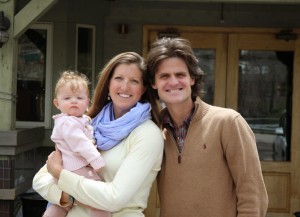
Outside the Yacht Club

Outside the Yacht Club

One more of the Oelbergers

One more of the Oelbergers

All in all, a great weekend celebrating Kristine both as a graduate and as a mother. A husband can’t be any more proud of his wife than myself!

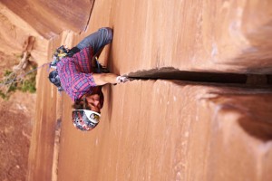
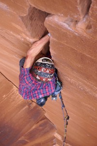
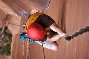
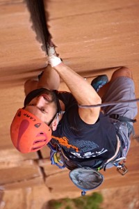
Crackin’ in Escalante Canyon

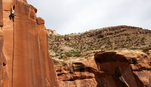
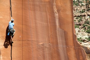
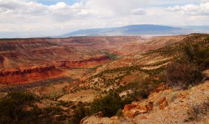
I have to say Escalante Canyon in western Colorado is my new favorite desert crack climbing destination. Very minimal crowds (closer to none at all), beautiful landscape and sandstone walls, Escalante Creek running through it, and potholes to swim in all make this canyon a great place to spend some time camping & climbing. So, when I moved my buddy Mike Santoro’s bachelor party from Indian Creek, Utah, to Escalante Canyon, CO, the day before our departure primarily because of a selfish reason to have running water nearby for Rainie & Kona, it surely didn’t disappoint and I think everyone was very satisfied and happy with the change of venue. Plus, it was a good 2 full hours closer to home. Spending almost 3 full days and nights in Escalante Canyon was special and afforded all of us the time to really explore the area whether crack climbing, hiking, or swimming. I think Mikey was more than pleased with the weekend’s fun & success. We had a motley crew most of the weekend with a few folks most of the crew had not yet met. However, we all quickly became pals and enjoyed our time together.

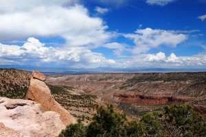
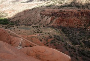
Escalante Canyon with the Elk Range visible in the distance to the east. photo by Dillon on his 4-5 hour dayhike to the canyon rim on Friday

Escalante Canyon with the Elk Range visible in the distance to the east. Photo by Dillon on his 4-5 hour dayhike to the canyon rim on Friday

The San Juan Range and Mt. Sneffels as viewed from the canyon rim by Dillon on his Friday afternoon hike

The San Juan Range and Mt. Sneffels as viewed from the canyon rim by Dillon on his Friday afternoon hike

Our camp way down below. Photo by Dillon

Our camp way down below. Photo by Dillon

Another view of Escalante Canyon from the other side of the rim. Photo by Dillon on Saturday's dayhike with J, Joel, & Lauran

Another view of Escalante Canyon from the other side of the rim. Photo by Dillon on Saturday’s dayhike with J, Joel, & Lauran

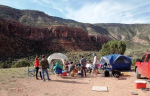
We had very spacious and luxurious camp

We had very spacious and luxurious camp. Photo by Dillon

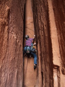
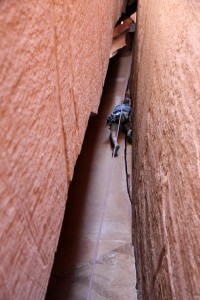
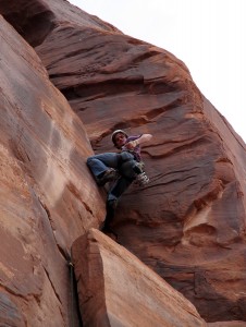
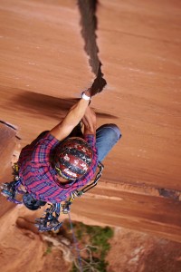
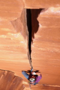
The days generally consisted of climbing between 8:30am and 2pm, swimming in the “Potholes” area of Escalante Creek in the heat of the day, and then climbing again for a few hours in the evening. Gosh, if every day could be lived like these days. I think we maybe saw two other people climbing all weekend. My kind of crag. We had a lot of beginners new to crack climbing as well and they all did wonderful and I think had a good time. Then, a few of us definitely challenged ourselves to some of the more difficult and classic cracks of the area. One note on the relative grades of several (most) of the routes we have experienced at Escalante: the rated grades really seem to be “old school” ratings much like Devil’s Tower. In most cases, they will feel harder than the published grade. A 5.10 at Escalante may be a 5.11 at Indian Creek, which tends to showcase “new school” ratings. Bottom line is one cannot base a climb off the published rating – its all relative and subject to the individual climber. Yet, most of these climbs seemed to feel and climb much harder than they would let on. We climbed at two of the five major walls in the canyon – the Interiors Wall & the Cabin Wall. We climbed a few more routes we don’t have pictures of including the route called Key Hole on the Interiors Wall and an unknown 5.8ish climb next to the unknown offwidth we have pics of below. Pics sorted by the routes at each wall we climbed are as follows:

Interiors Wall

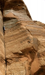
Mike leading the offwidth called Lieback (5.9) on the left while Jesse leads Right of Lieback (5.10a) on the right

Mike leading the offwidth called Lieback (5.9) on the left while Jesse leads Right of Lieback (5.10a) on the right. Photo by Dillon

Dillon climbing the awesome cave route called Interiors (5.9-)

Dillon climbing the awesome cave route called Interiors (5.9-)

Me beginning the fun lead of The Shaft (5.10a) in the cave

Me beginning the fun lead of The Shaft (5.10a) in the cave

J climbing The Shaft (5.10a)

J climbing The Shaft, which was fingers/thin hands to perfect hands up higher

Looking up at J in the Cave at the top of The Shaft

Looking up at J in the cave at the top of The Shaft

Me leading this pretty tough route involving a little bit of everything - fingers, thin hands, hands, a fist or two, and offwidths. This one tore up my arms. I just saw that it had anchors 100' up and went for it. No idea what it is called or rated

Me leading this pretty tough route involving a little bit of everything – fingers, thin hands, hands, a fist or two, and offwidths. This one tore up my arms. I just saw that it had anchors 100′ up and went for it. No idea what it is called or rated

Me trying to find the gear on this same unknown offwidth

Me trying to find the gear on this same unknown offwidth

Tamra had a good time watching me, Jesse, Mikey, & Gracson on this unknown offwidth crack climb

Tamra had a good time watching me, Jesse, Mikey, & Gracson on this unknown offwidth crack climb

Mikey getting an "assisted" belay by Shawn in attempt to inch Jesse up the crack

Mikey getting an “assisted” belay by Shawn in attempt to inch Jesse up the crack

Gracson on the unknown offwidth. He did great on this route

Gracson on the unknown offwidth. He did great on this route

Cabin Wall

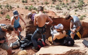
Racking up at the Cabin Wall on Saturday

Racking up at the Cabin Wall on Saturday. Photo by Dillon

Me giving Jesse a spot while beginning his lead of the route dubbed Unknown Flake (5.9)

Me giving Jesse a spot while beginning his lead of the route dubbed Unknown Flake (5.9). Photo by Dillon

Dillon on Unknown Flake

Dillon on Unknown Flake

Joel sending Unknown Flake

Joel sending Unknown Flake. Photo by Dillon

Me pulling the bouldery crux on the route called Unknown Awkward. This route is designated a 5.9+ online, but I would have to tend to disagree on this rating as would everyone in our crew. Feels much more like a 5.10+/5.11a. I don't know what 5.9+ has a bouldery start and a finger crack :)

Me pulling the bouldery crux on the route called Unknown Awkward. This route is designated a 5.9+ online, but I would have to tend to disagree on this rating as would everyone in our crew. Feels much more like a 5.10+/5.11a. I don’t know what 5.9+ has a bouldery start and a finger crack 🙂 Photo by Shawn

Me getting through the bouldery crux on Unknown Awkward. Photo by Shawn

Me getting through the bouldery crux on Unknown Awkward. Photo by Shawn

Joel climbing TH Crack (5.8)

Joel climbing TH Crack (5.8). Photo by Dillon

Rock star Shawn Wright leading Rednekk Justus. This route is published as a 5.10+/5.11, but I think most of us would agree is more like 5.12-

Rock star Shawn Wright leading Rednekk Justus. This route is published as a 5.10+/5.11, but I think most of us would agree is more like 5.12-. Photo by Dillon

Shawn higher on Rednekk Justus

Shawn higher on Rednekk Justus. Photo by Dillon

Mikey cranking hard on Rednekk Justus. Photo by Shawn

Mikey cranking hard on Rednekk Justus. Photo by Shawn

Me leading the intimidating S-Crack (5.10c). However, I would tend to go with a 5.11 rating due to the lower bouldery finger section and 30' of off-width at the top. All I could think about while leading this was how Alex Honnold free soloed up and down this. I felt pretty inadequate, but then again it is Alex Honnold :)

Me leading the intimidating S-Crack (5.10c). However, I would tend to go with a 5.11 rating due to the lower bouldery finger section and 30′ of offwidth at the top. All I could think about while leading this was how Alex Honnold free soloed up and down this. I felt pretty inadequate, but then again it is Alex Honnold 🙂 Photo by Dillon

Me leading S-Crack. Photo by Dillon

Me leading S-Crack. Photo by Dillon

J on S-Crack. Photo by Dillon

J on S-Crack. Photo by Dillon

Mikey giving Willy's Hand Jive (5.10) a solid lead attempt on Friday evening after a day of climbing

Mikey giving Willy’s Hand Jive (5.10) a solid lead attempt on Friday evening after a day of climbing

Shawn leading Willy's Hand Jive on Sunday morning

Shawn leading Willy’s Hand Jive on Sunday morning

Shawn pulling the awkward off-width pod crux on Willy's Hand Jive

Shawn pulling the awkward off-width pod crux on Willy’s Hand Jive

Mikey on Willy's

Mikey on Willy’s. Photo by Shawn

Mikey hand jiving

Mikey hand jiving

Me leading Willy's Hand Jive. This was probably my favorite route we did all weekend. 100' of hand jamming and a tough crux 90' off the deck - wow. Photo by Shawn

Me leading Willy’s Hand Jive. This was probably my favorite route we did all weekend. 100′ of hand jamming and a tough crux 90′ off the deck – wow. Photo by Shawn

I love these pics Shawn took of me on Willy's :)

I love these pics Shawn took of me on Willy’s 🙂

Hand jammin'! Photo by Shawn

Hand jammin’! Photo by Shawn

In the #3 cam section. Photo by Shawn

In the #3 cam section. Photo by Shawn

Me at the off-width pod crux on Willy's. Photo by Shawn

Me at the offwidth pod crux on Willy’s. Photo by Shawn

Jesse cranking Willy's. Photo by Shawn

Jesse cranking Willy’s. Photo by Shawn

Gracson in good form on Willy's Hand Jive. Photo by Shawn

Gracson in good form on Willy’s Hand Jive. Photo by Shawn

While I didn’t want to leave on Sunday, I was exhausted. Doing these kind of weekends wears me out much more than climbing peaks all weekend. The dogs were all tuckered out as well. Trevor’s birthday was Sunday, May 3, and we stayed up well past midnight on Saturday night to ring in his 27th birthday. Ah, to be 27. Though, he didn’t come into work until noon on Monday. But that could have been the 27 beers he drank for his birthday. All in all, a phenomenal weekend.

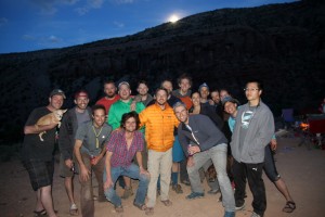
Saturday night group shot with a nice moonrise

Saturday night group shot with a nice moonrise

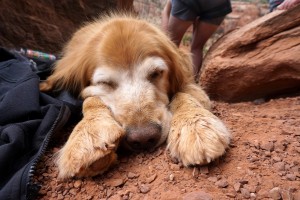
I still feel today like Rainie did on Saturday. Photo by Dillon

I still feel today like Rainie did on Saturday. Photo by Dillon

West Deming

I’m always looking for fun little half-day ski tours that are fairly easy to access. Even better if these ski tours are in the Gores. I’ve looked at the very moderate southwest face of this 12,736′ peak dubbed “West Deming” for well over a decade of living in the Vail Valley yet have never ventured up into the steep woods to access this face. It always looked like it would be a great ski despite its very mellow angle (25 degrees maximum). I noticed there was a runaway truck ramp on I70 West halfway between the top of Vail Pass and East Vail. This looked like the perfect parking spot (just below the runaway truck ramp in a very large shoulder off I70 West at about 9,600′) and it turned out it was pretty perfect. Not many hikes or ski tours you access by walking up a truck ramp – at least not many that I have found. Kristine, Kona, & myself did some recon over a week ago one Friday afternoon and made it to 11,600′ right at treeline before we had to start the ski down in order to pick up Sawyer from daycare at 4pm. However, it was good recon of the lower meadows and trees in finding a fairly efficient route up to treeline and the base of the southwest face.
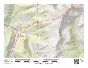
Our route up West Deming's southwest face from I70 West

Our route up West Deming’s southwest face from I70 West

After dropping the youngest & oldest Chalk (Sawyer & Rainier) off at our good friends’ Sarah & Keith’s house in Edwards and picking up their dog Molly, we boogied up to Vail Pass this past Saturday morning to meet good friend Joel Gratz and give West Deming the good ole college try despite a not so ideal forecast. Joel was calling for decent weather at least for a few hours Saturday morning, which was good enough for us. It was extra special to get out again with Kristine as having a 6 month old doesn’t necessarily allow us to get out together as often as we would like. After hiking up the runaway truck ramp, we donned the skis/skins at the first open meadow down at the end of the bike path and began the route up we remembered from the week prior. The skinning was much easier this time around as Kristine and I were breaking trail through 6″ of heavy spring snow the week before. We skinned the 2,000′ up to exactly the same spot at treeline in about an hour and 45 minutes. There are actually some areas of steep skinning through the woods and one point where Joel & I carried our skis up a steep, bare (of snow) glade while Kristine again showed us up and kept her skis on.
Kristine early on in the trees

Kristine early on in the trees

Kristine & Kona hanging tough over the steep, dry ground

Kristine & Kona hanging tough over the steep, dry ground

Kristine showing Joel & I up by keeping her skins/skis on

Kristine showing Joel & I up by keeping her skins/skis on

Good to be out with this guy again

Good to be out with this guy again

The upper southwest face of West Deming above treeline was a very enjoyable skin with great views. The ominous dark clouds almost made for better light and pictures. It took us just shy of an hour to skin the remaining 1,200′ and 1 mile (as the crow flies) to the summit.

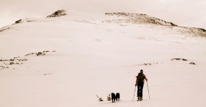
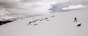
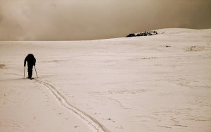
Kona & Molly and the route above treeline to West Deming's summit

Kona & Molly and the route above treeline to West Deming’s summit

Kristine heading out to the top with the dogs

Kristine heading out to the top with the dogs

Kristine & Kona

Kristine & Kona

Joel skinning the upper southwest face with the East Vail Chutes/Benchmark Bowl over his left shoulder

Joel skinning the upper southwest face with the East Vail Chutes/Benchmark Bowl over his left shoulder

Joel charging ahead to the summit

Joel charging ahead to the summit

West Deming’s summit was indeed a fantastic perch to view the southern Gore. In fact, in every direction we could point out past camping spots, such as at the Zodiac Ponds below Zodiac Ridge, and all the familiar peaks and ridges of the Gore Range. We remained on the summit for a good 20-25 minutes and admired our views and the good company.
Kristine, Joel, & the dogs up top West Deming

Kristine, Joel, & the dogs up top West Deming

The Chalks on top of West Deming (12,736')

The Chalks on top of West Deming (12,736′)

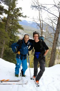
Mr. Gratz & myself

Mr. Gratz & myself

Summit view west to the Vail Valley

Summit view west to the Vail Valley

Close-up of our "Top of the World" campsite (right summit of gladed bowl) we frequent in the summer and fall

Close-up of our “Top of the World” campsite (right summit of gladed bowl) we frequent in the summer and fall

East Vail Chutes, aka Benchmark Bowl, off Vail Ski Mountain

East Vail Chutes, aka Benchmark Bowl, off Vail Ski Mountain

Looking east to Deming Mountain & Buffalo Mountain (left)

Looking east to Deming Mountain & Buffalo Mountain (left)

Looking northeast to Red Peak (right), Zodiac Ridge, & the Silverthorne Massif

Looking northeast to Red Peak (right), Zodiac Ridge, & the Silverthorne Massif

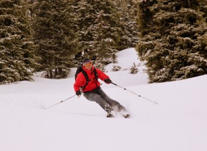
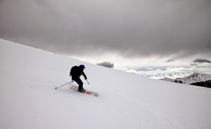
The very mellow, low-consequence ski down the upper southwest face was phenomenal. Spring-powder on top of a firm base made for awesome arcing turns. It was a lot of fun. Some ski shots:

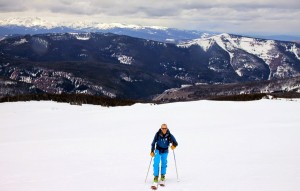
Kristine

Kristine

Joel

Joel

The skies were just awesome

The skies were just awesome

Joel taking us home

Joel taking us home

And, one of me

And, one of me

Joel & Kristine relishing in the fun ski of West Deming's upper southwest face

Joel & Kristine relishing in the fun ski of West Deming’s upper southwest face

We made it back to my car at about 12:45pm, exactly about 4 hrs after we began. We dropped Joel off in Vail and boogied to Sarah & Keith’s house to pick up Sawyer & Rainier. Both ladies did very well all morning. This great moderate ski tour is a great addition to our running mental list of fun half-day ski tour outings. Even mid-winter, this would be a great ski tour as it is relatively safe due to the moderate slope angle. It would also be a nice summer half-day hike to get high and some great views. I believe the RT is roughly 3,000′ vertical and maybe 5 miles. Don’t quote me on that mileage, though. We are glad the weather cooperated, but really were we ever in doubt? I mean, c’mon, we had Mr. OpenSnow himself with us! In all seriousness, it was great for Kristine & I to get out with Joel again and especially for Kristine & myself to be together again on a fun little adventure like in our pre-baby days.