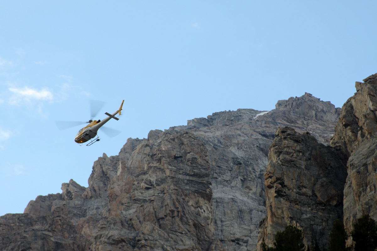
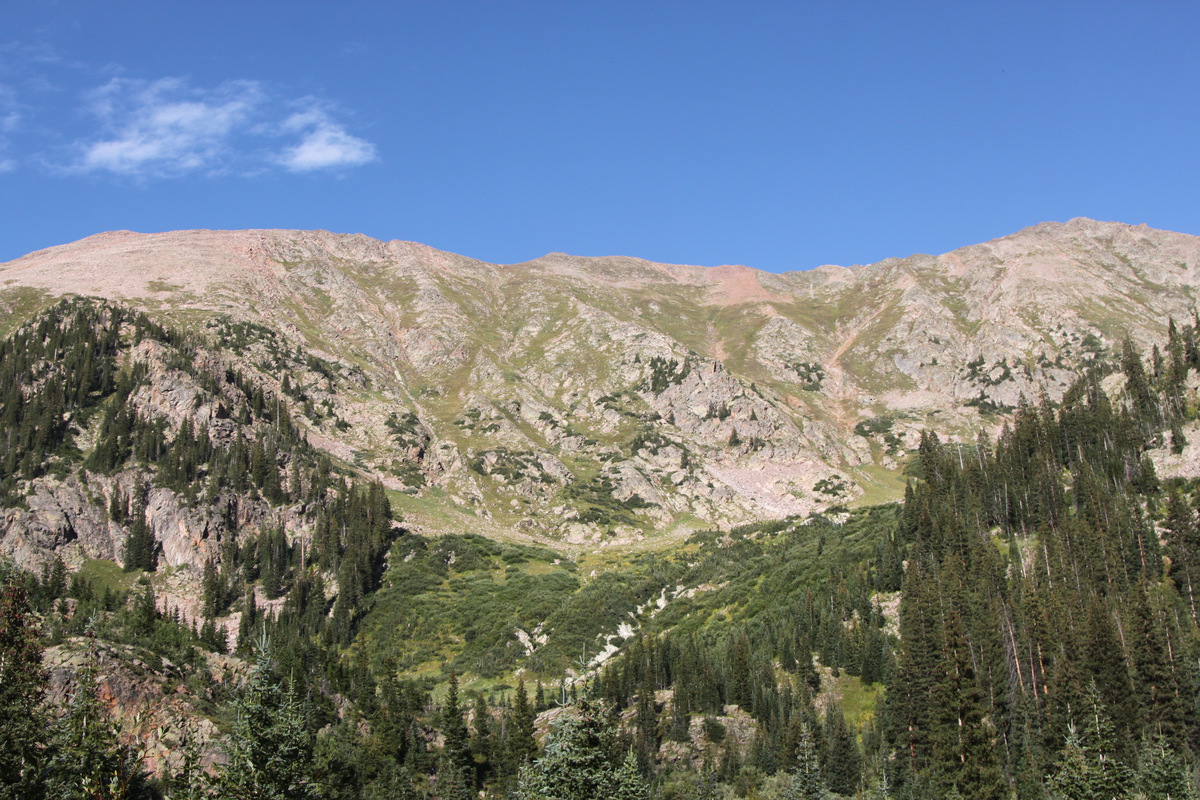
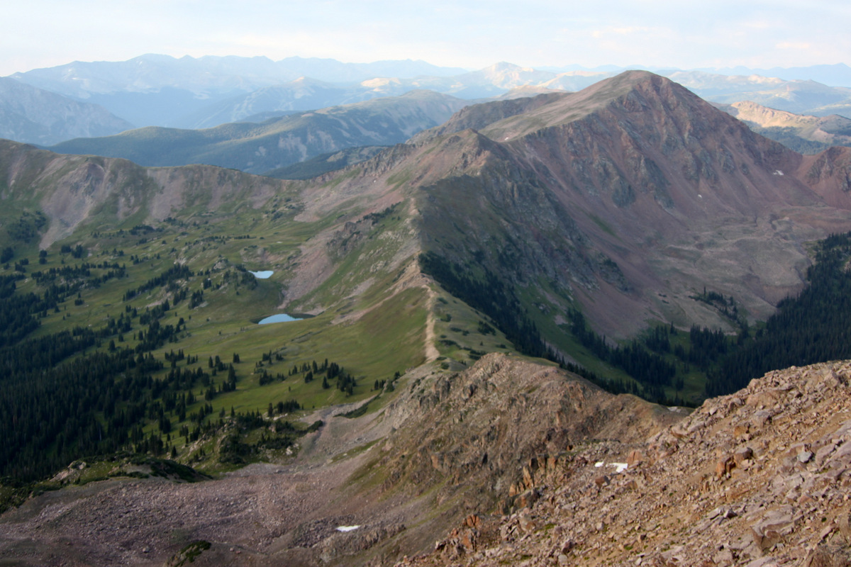
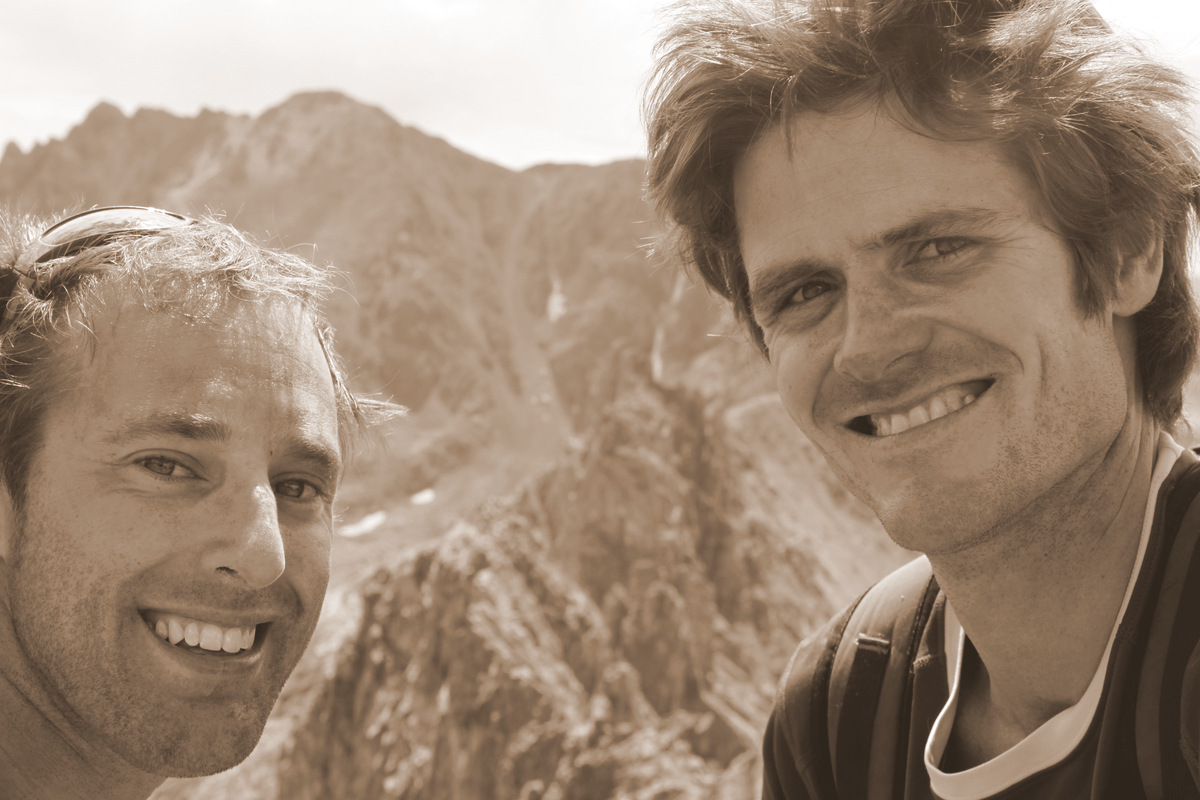
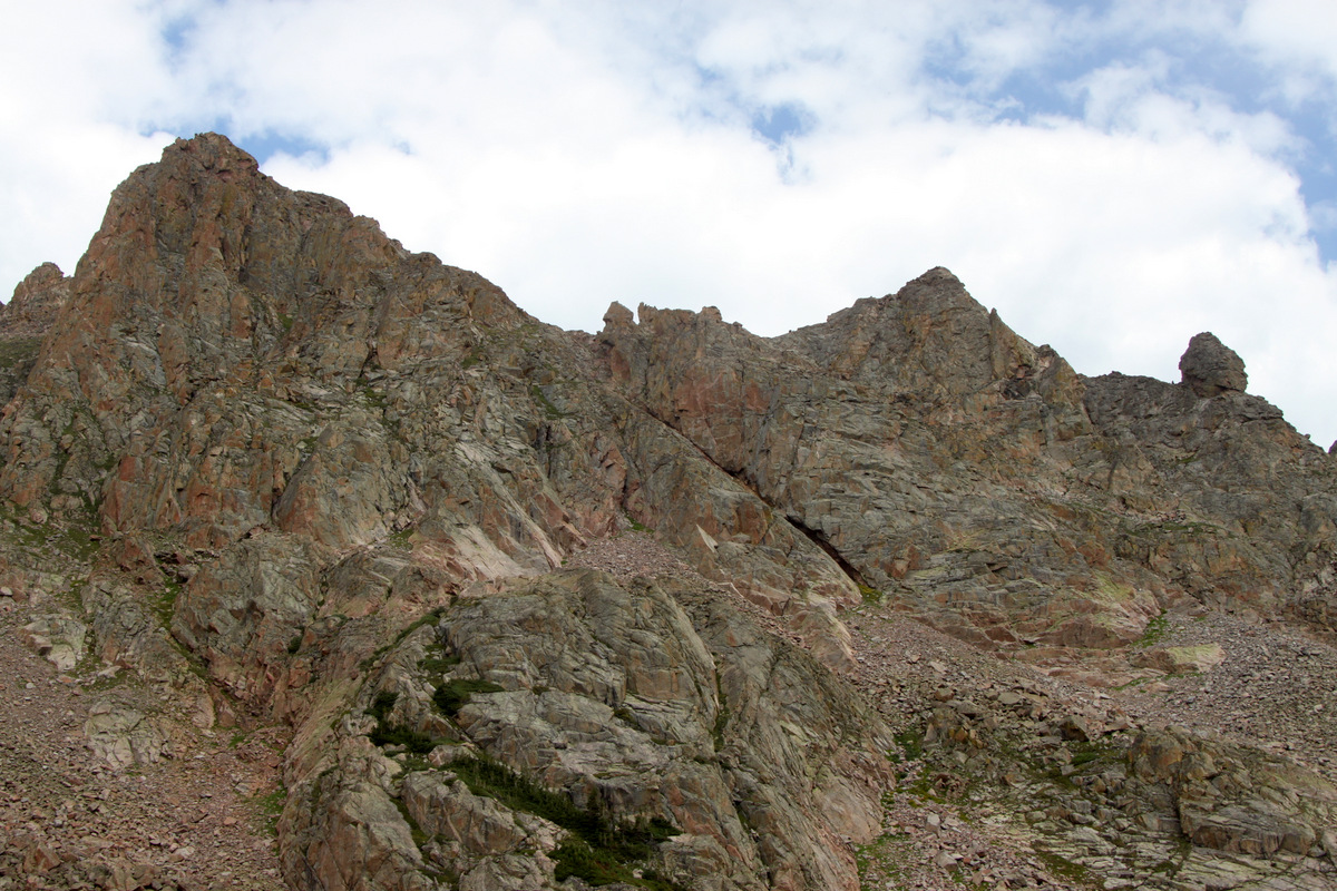
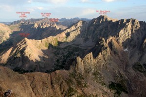
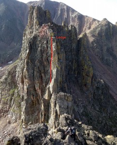
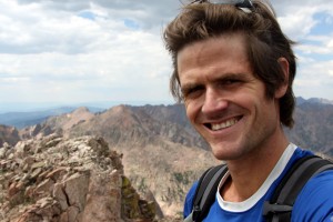
My good friend J Weingast and I were successful on a traverse this past weekend we had long wanted to attempt in our favorite range in Colorado – the Gore Range. What makes this range so special to us is the fact that it does lie in our backyard just to the north of Vail, sees very few visitors, especially up higher on the peaks themselves, and has some of the most rugged terrain we have encountered making for fun and exciting climbs and ridge traverses. We had done several traverses in the Gores, all of which were so fun and memorable. However, the almost “mythical” Zodiac Ridge was always in the backs of our minds. This ridge is really pretty secluded. It can only be seen from a few perspectives as it lies deep in the heart of the southern Gores between the Silverthorne massif to its north and Red Peak to its south. On a recent weekday camping extravaganza, Zodiac Ridge could be seen in all its glory from our camp up high on a perch southeast of Benchmark Peak on Vail Mountain. Seeing the ridge from up high at a distance was amazing and unforgettable. And to know J and I were going to attempt it in a few weeks time made us that much more excited (and apprehensive). Zodiac Ridge comprises numerous spires/gendarmes that just like sharks’ teeth straight to the heavens. Its got to be one of the more rugged ridges in the state. Each spire (9 in total) is named for a animal or configuration in the night sky, i.e. the Zodiac. Per a very knowledgeable and accomplished local acquaintance, the Zodiac Spires were named in Mark Addison’s article in the January 1957 issue of “Trail & Timberline” magazine of the Colorado Mountain Club recounting his two trips and naming of the Zodiac Spires in 1956. This local acquaintance helped both J and myself out by giving us his beta from a few of his climbs of the Zodiac Spires in 1984.
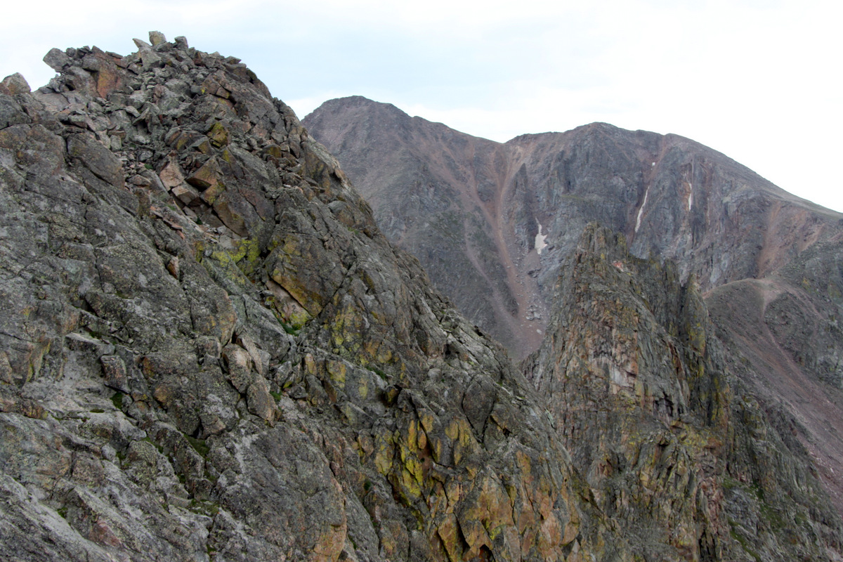
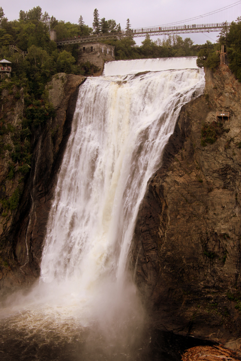
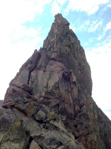
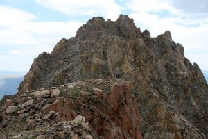
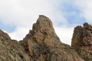
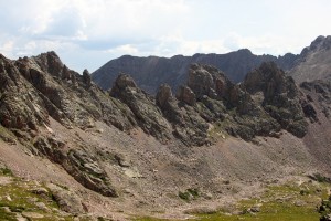
The named Zodiac Spires on Zodiac Ridge as seen from the west
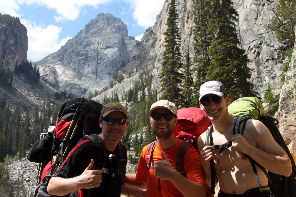
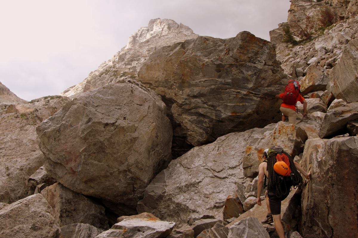
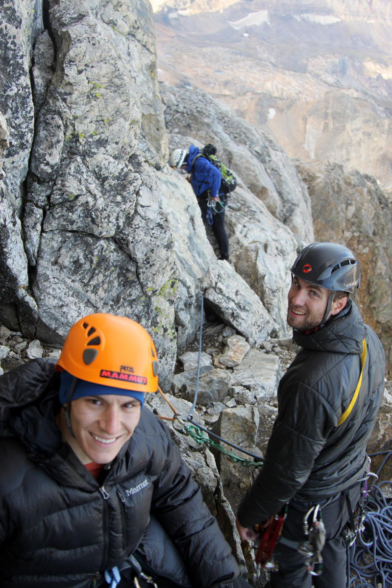
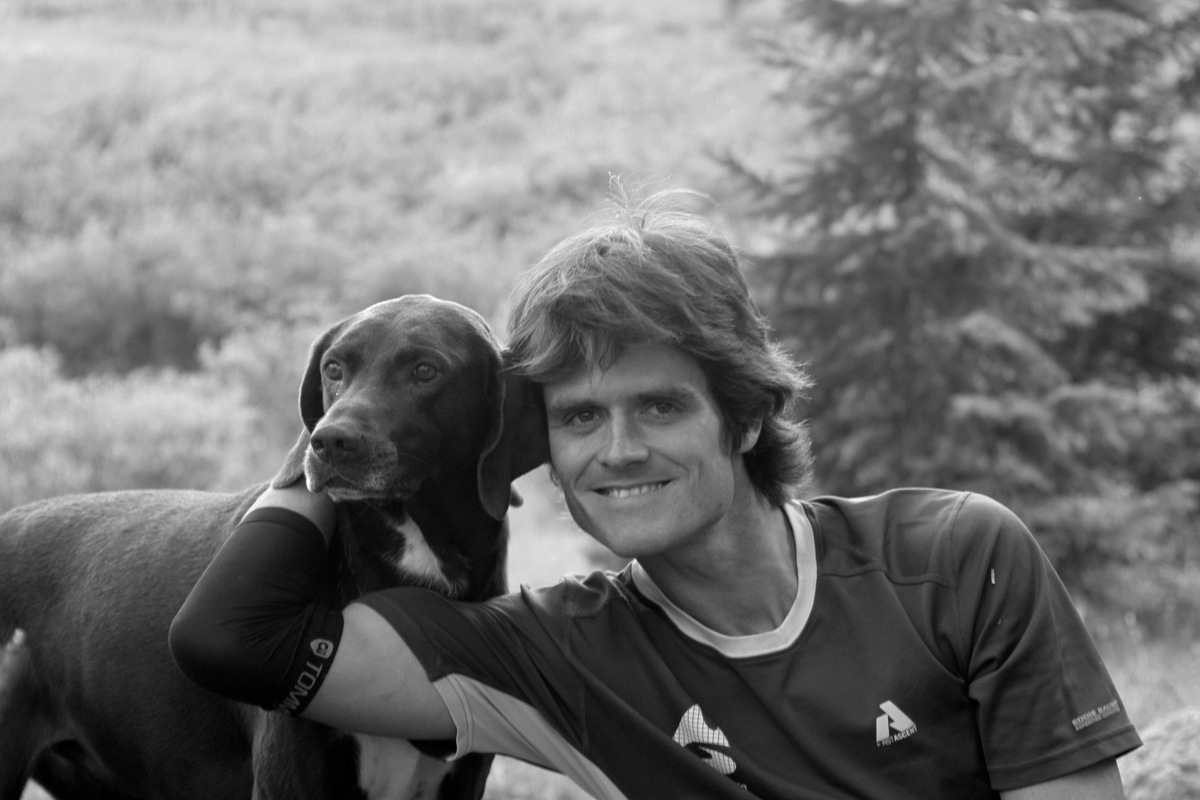
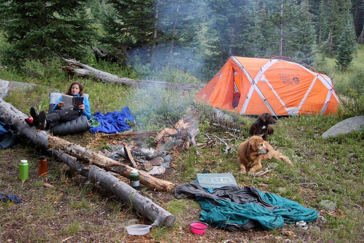
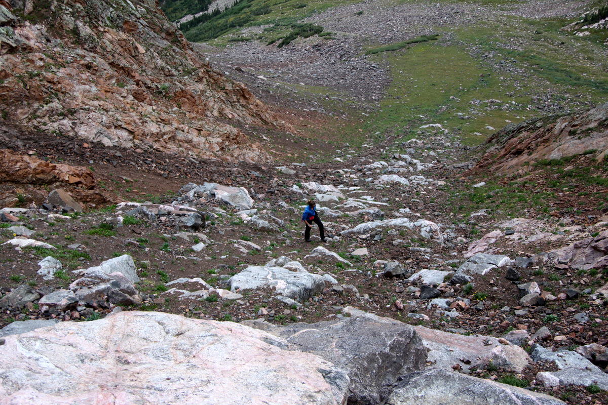
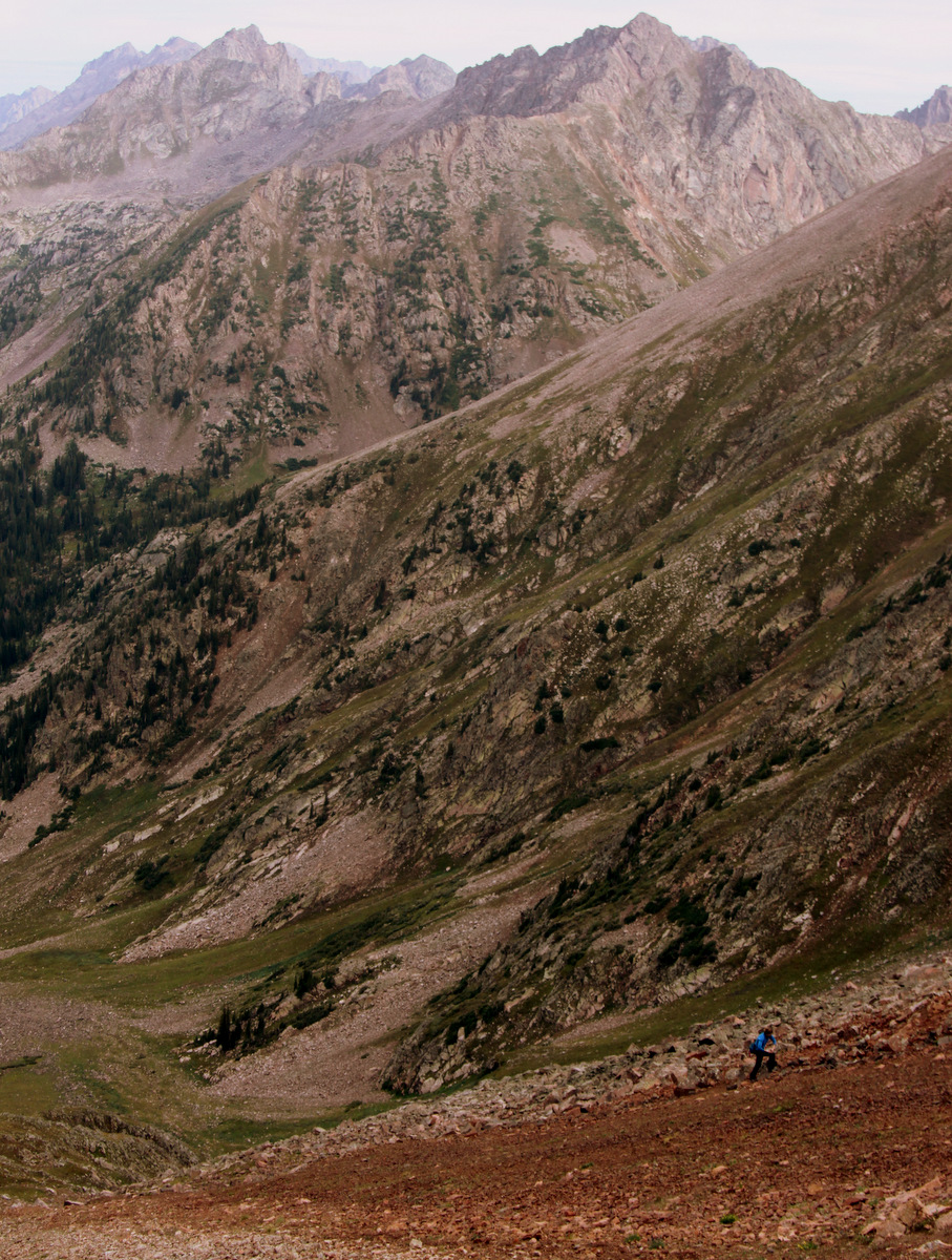
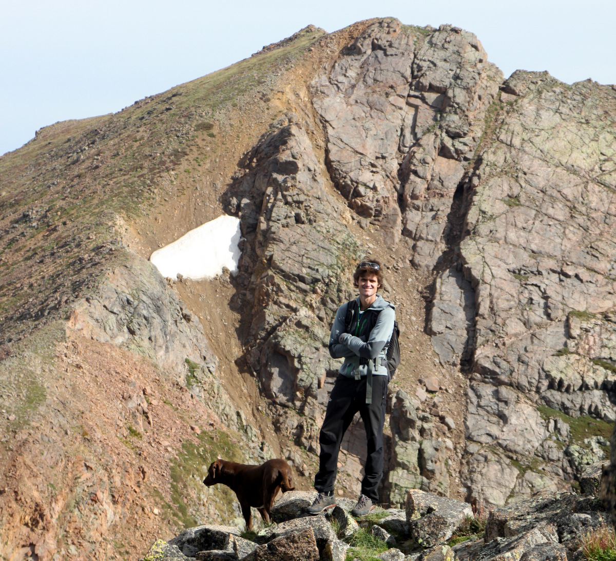
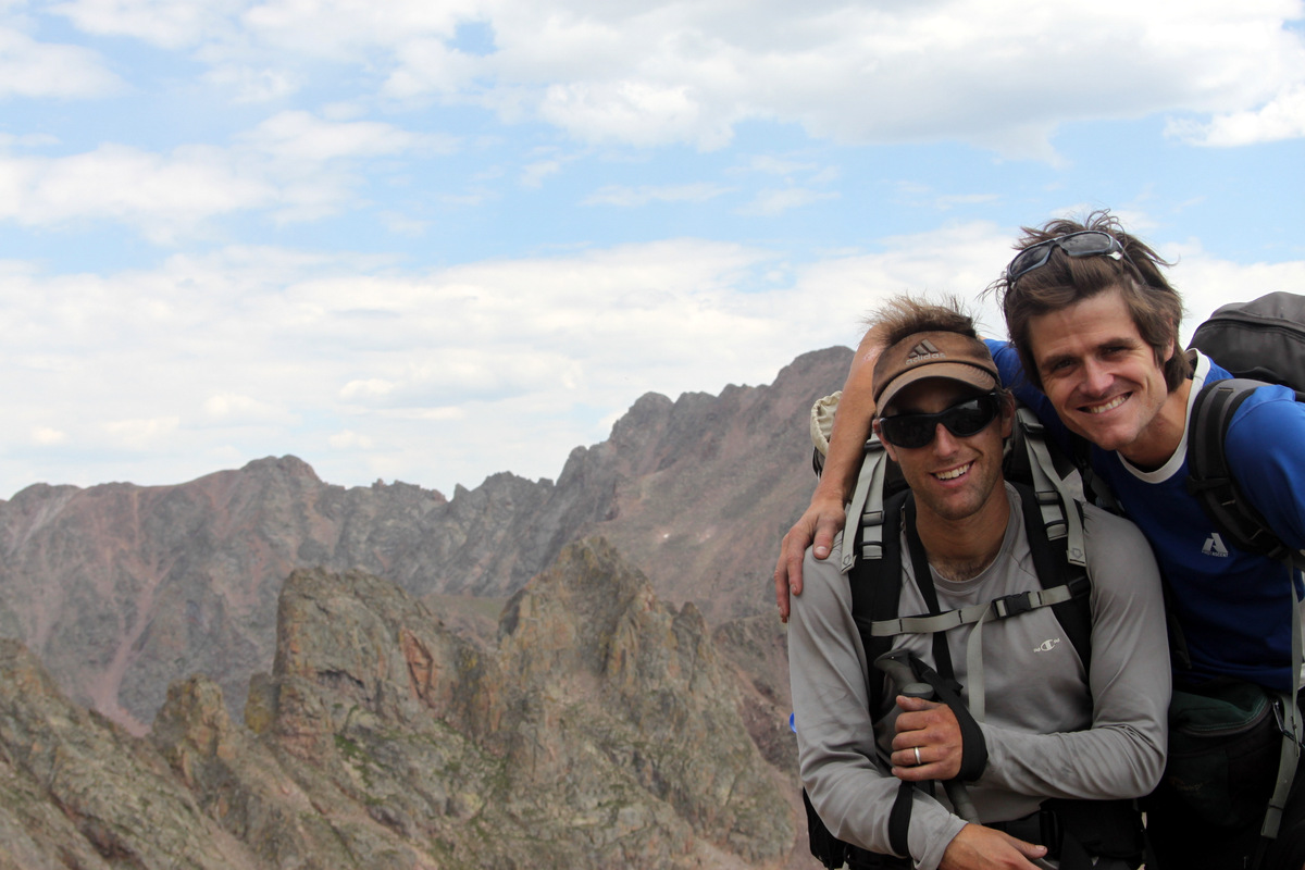
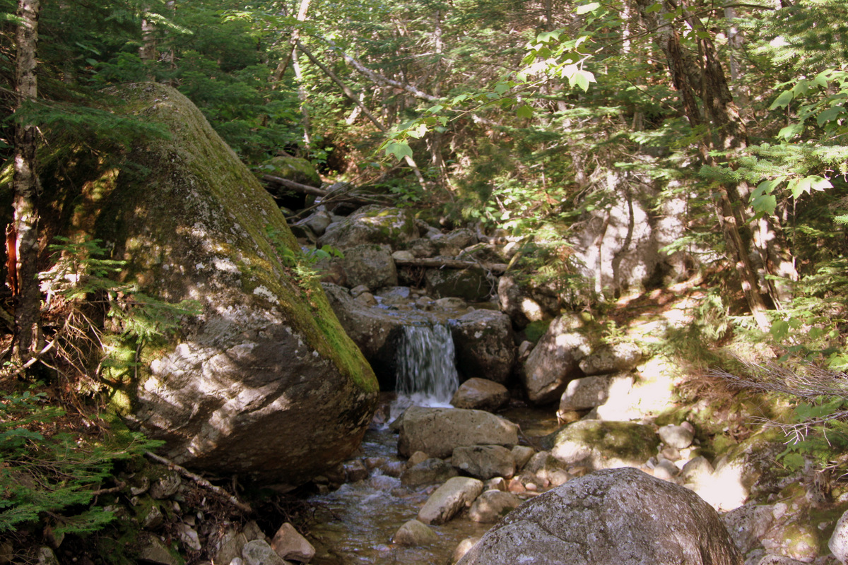
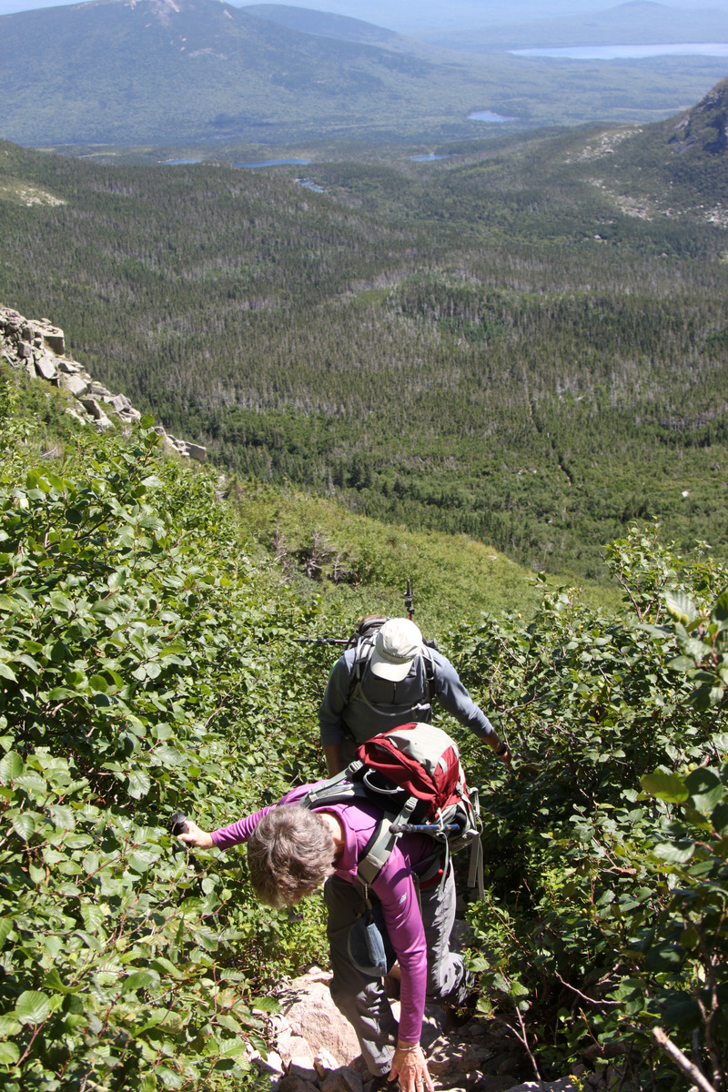
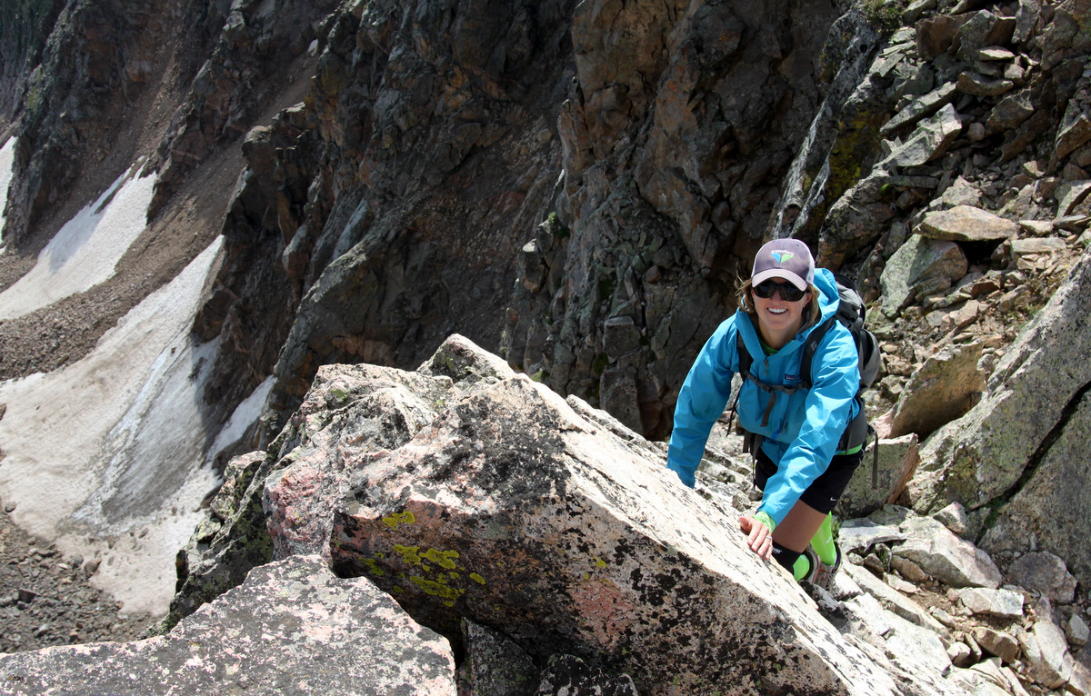
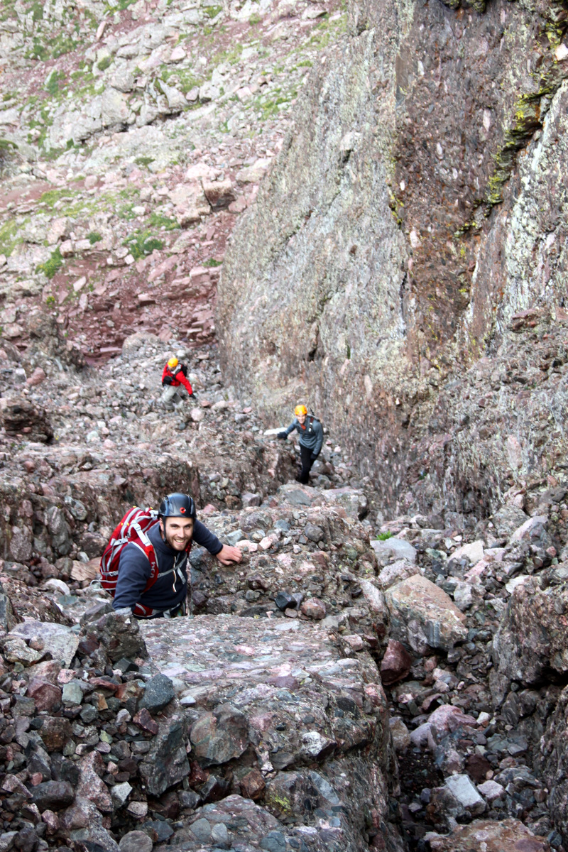
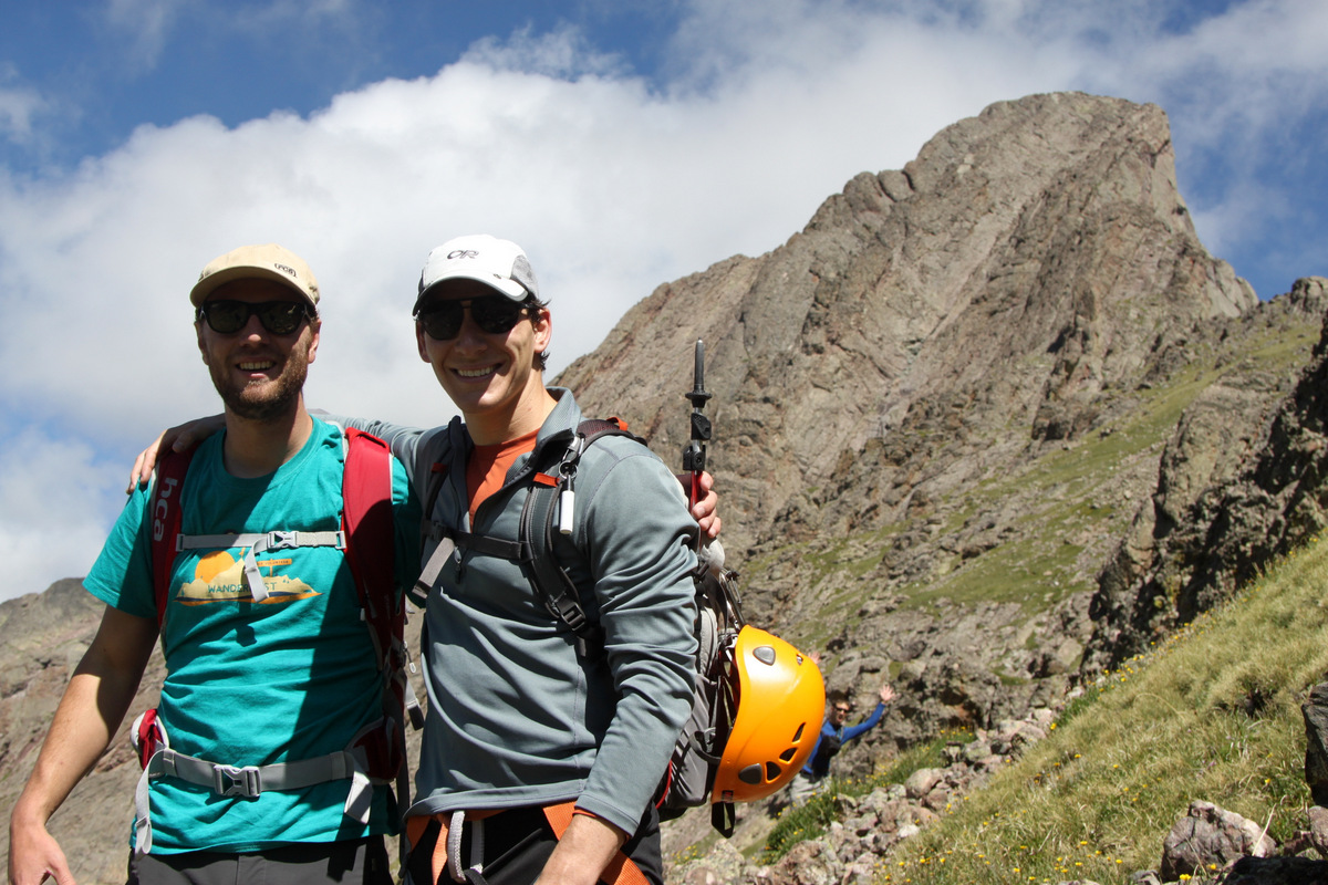
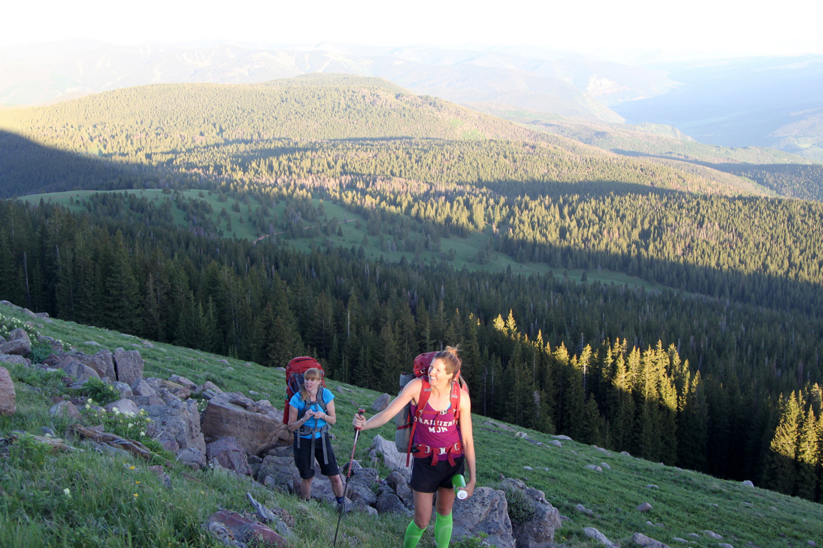
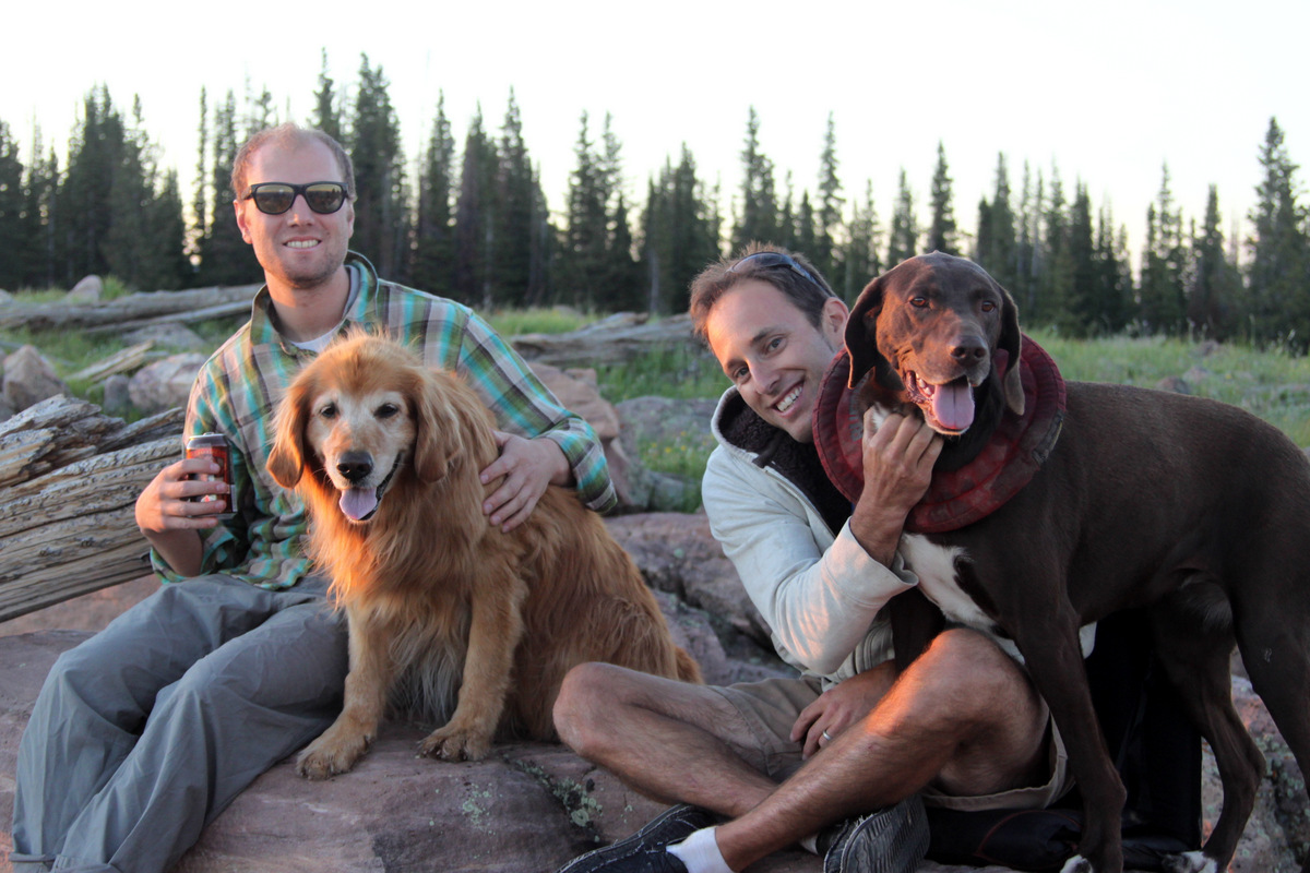
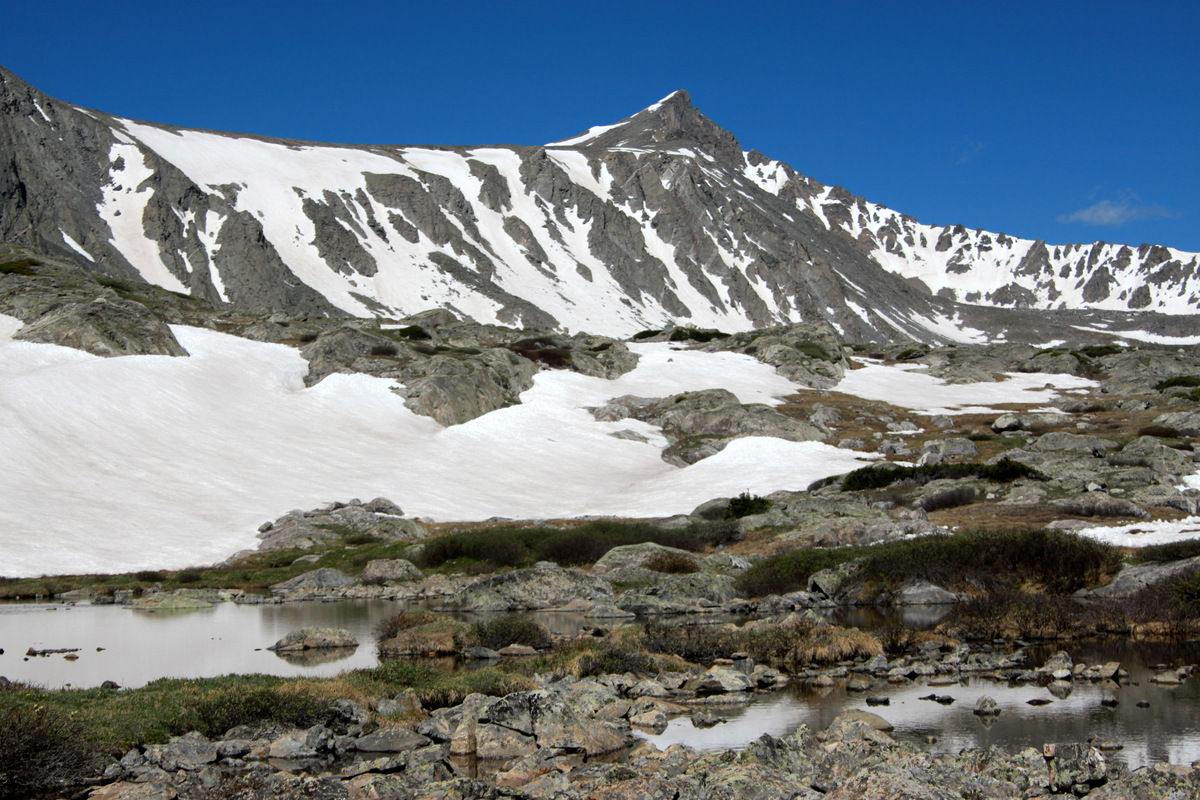
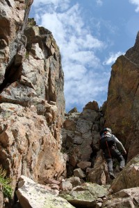
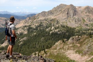
As J and I really only wanted it to be the two of us on the ridge since we had no idea what we would be really getting into and we always feel super comfortable and confident with one another on traverses and climbs such as this, several of our good friends, Kristine, the dogs, etc all decided to join us up at the small ponds we dubbed the “Zodiac Ponds” at the base of the south face of the peak called Zodiac View (12,505′). These ponds are a bit off the beaten trail to Gore Lake, which makes the area so much more secluded and special. It is an absolutely wonderful place to camp and spend some time. Our friend Keith Webber joined J and I on the 6+ mile backpack with 3,000′ of vertical gain into the Zodiac Ponds on Friday afternoon. We took our time due to the heavy loads (climbing rope, rack, webbing, slings, shoes, helmet, camping gear, etc), but that was just fine as it gave us more time to enjoy the scenery and not to wear us out for the next day.
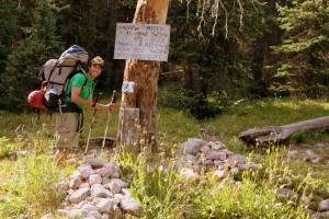
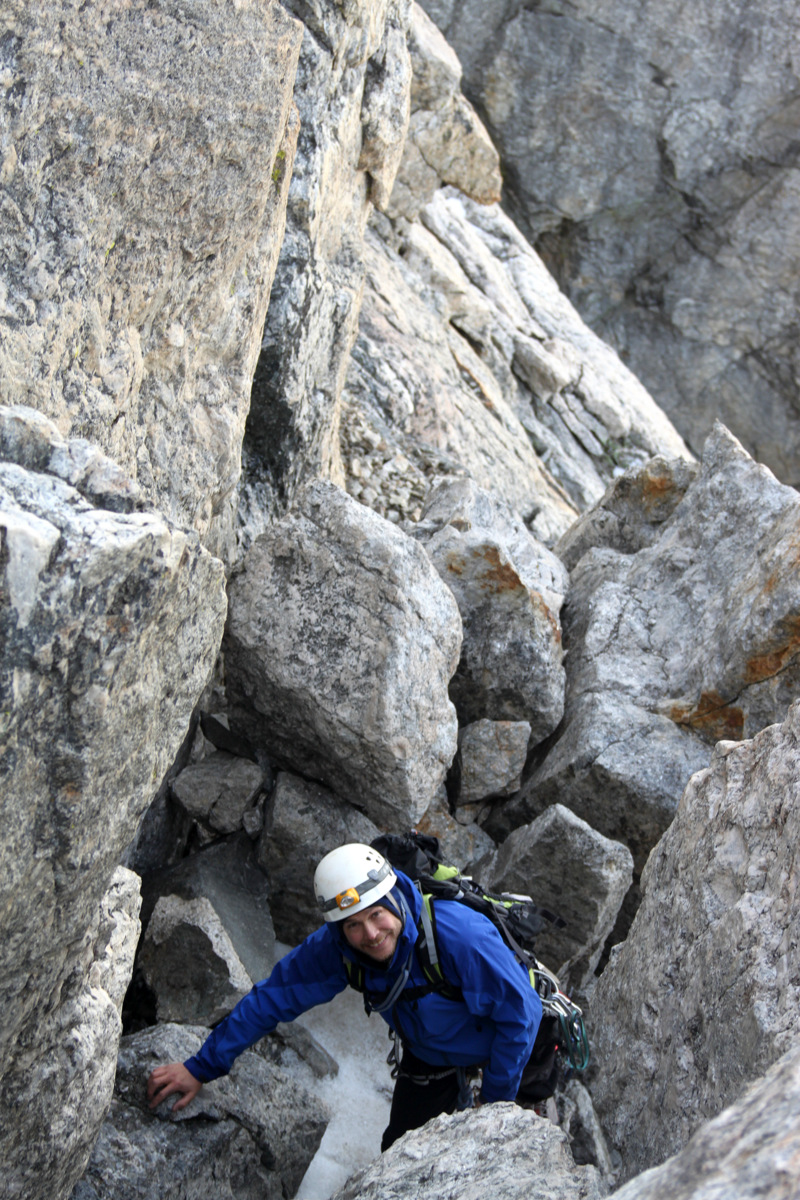
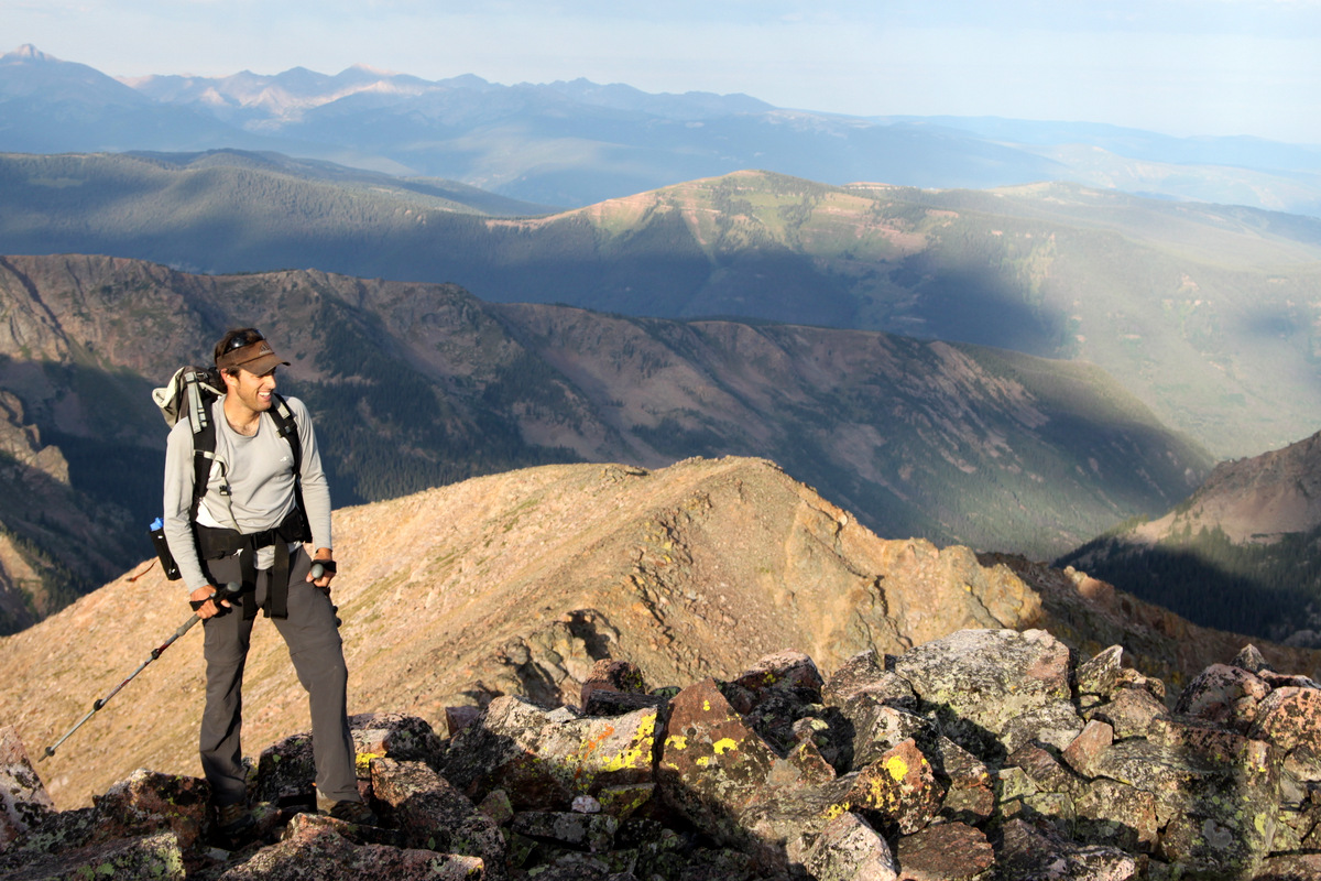
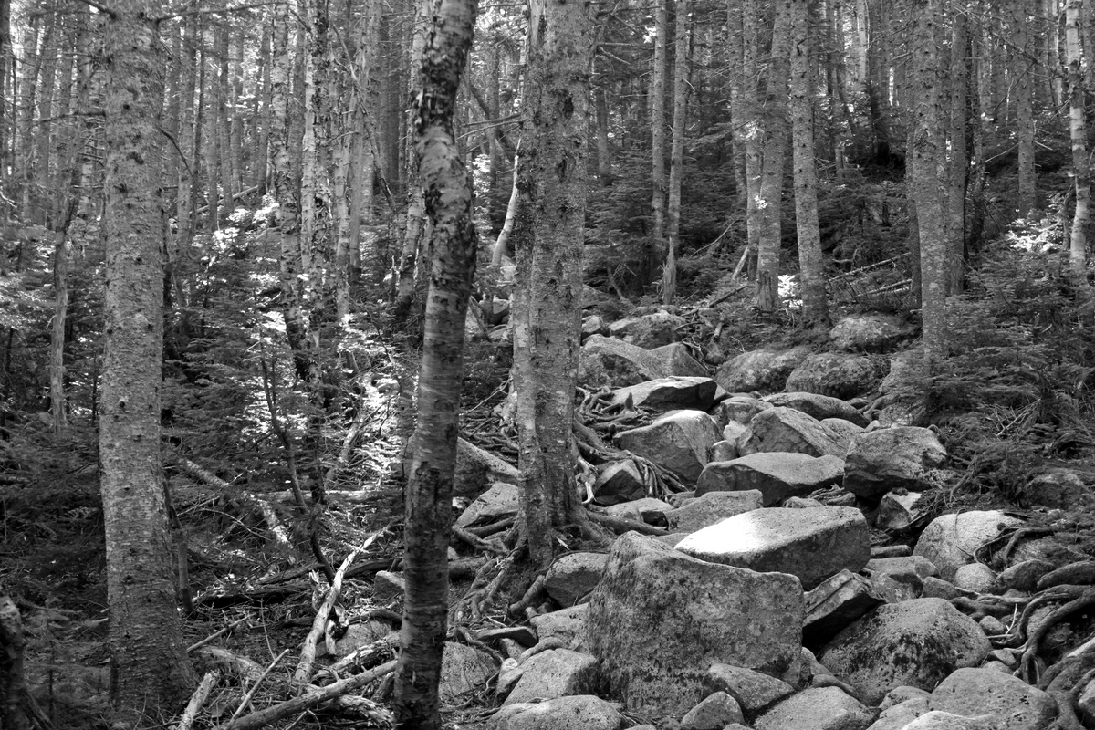
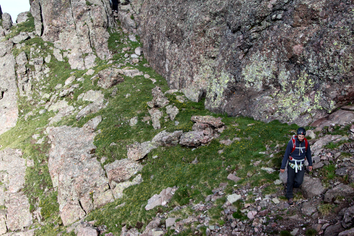
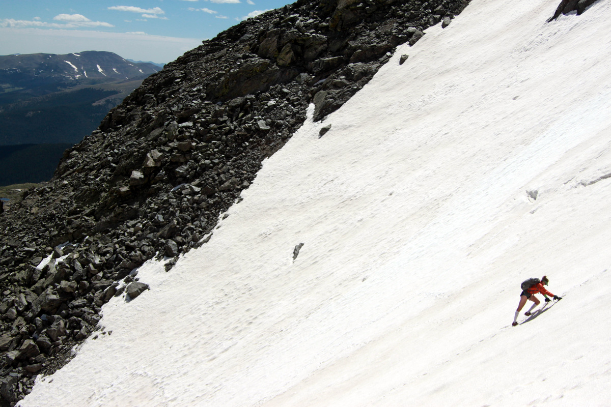
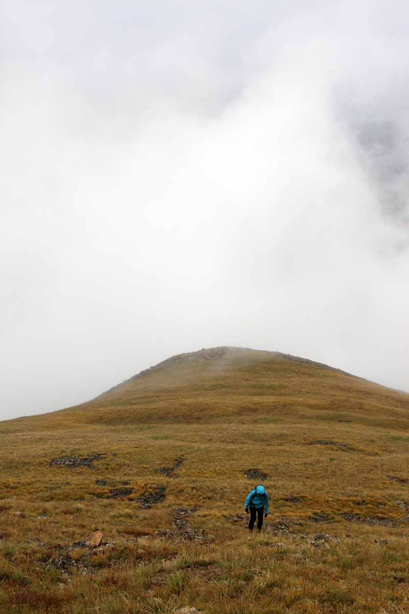
J and the “graveyard” on the way up the Gore Lake trail
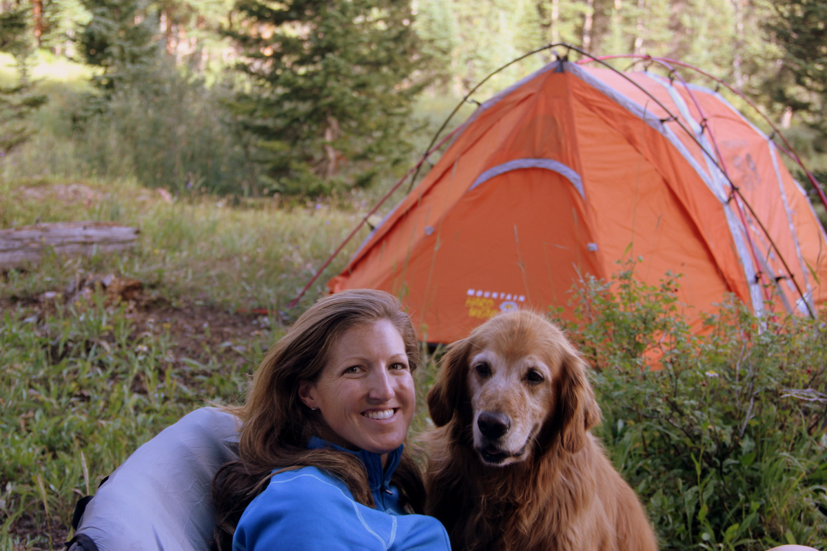
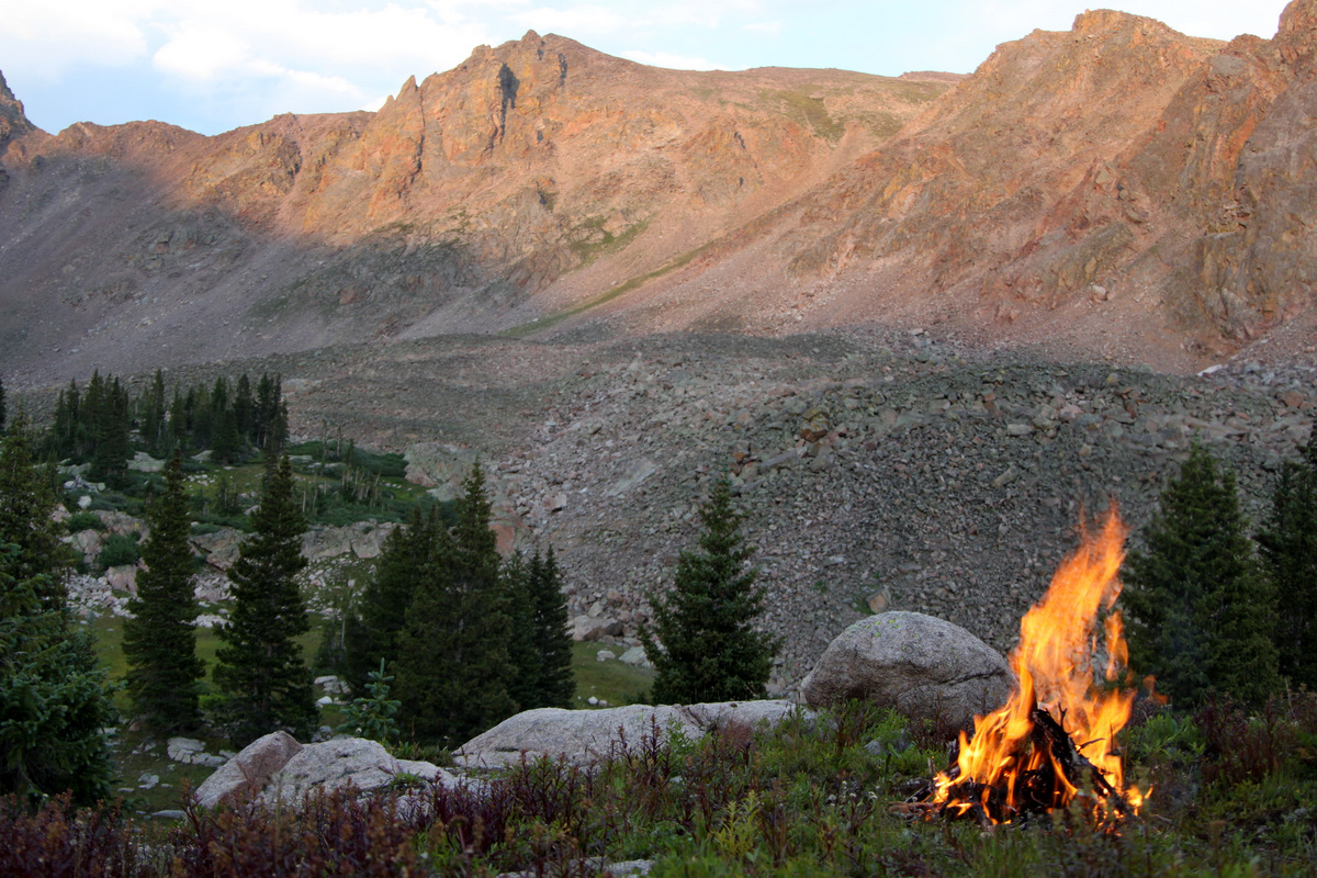
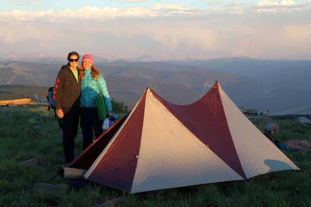
Other good friends, Sarah Webber (Keith’s wife), Kristine, Rainier, Kona, etc were to backpack in on Saturday and stay overnight. After a good blackened Qdoba burrito over a roaring campfire and some good campfire chat, we headed to bed anticipating an early morning start.
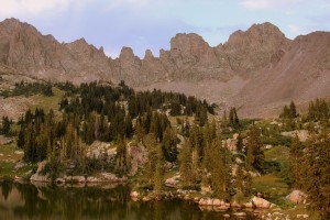
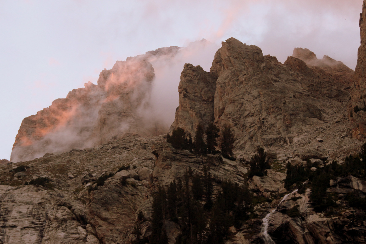
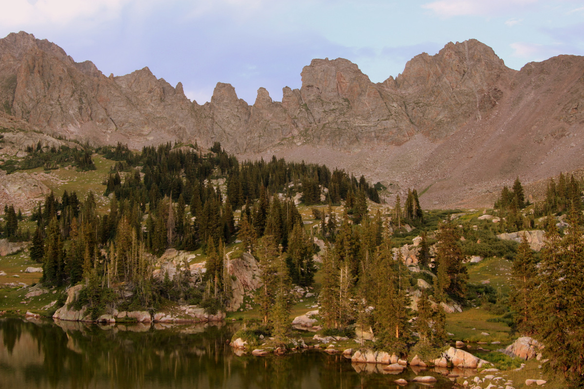
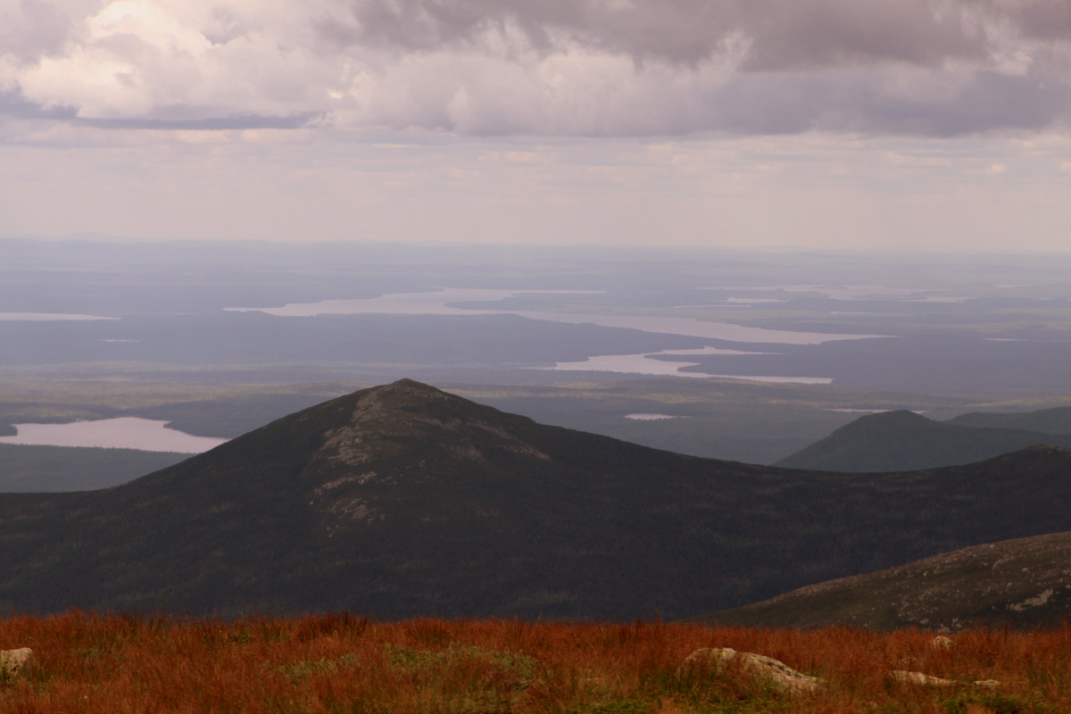
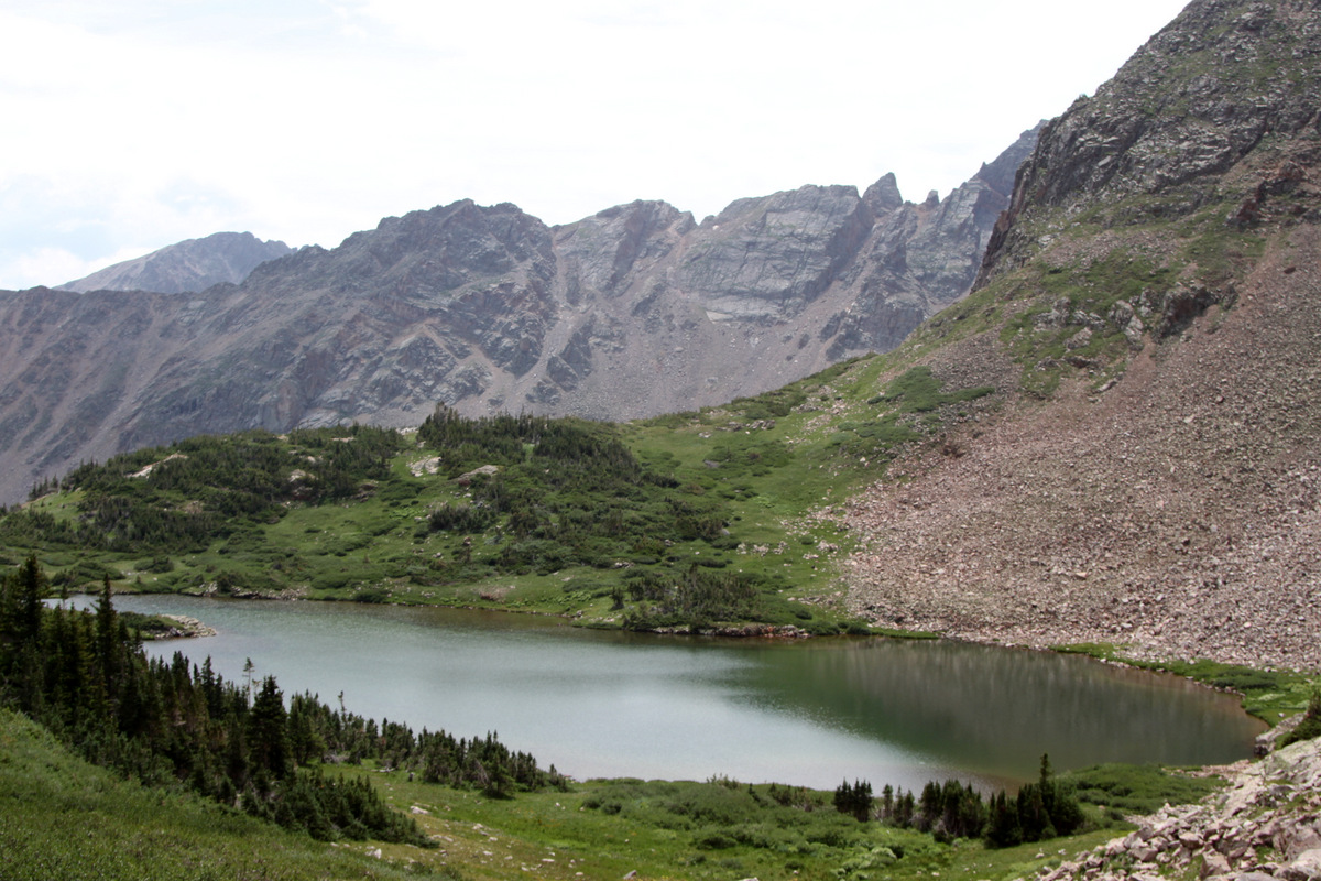
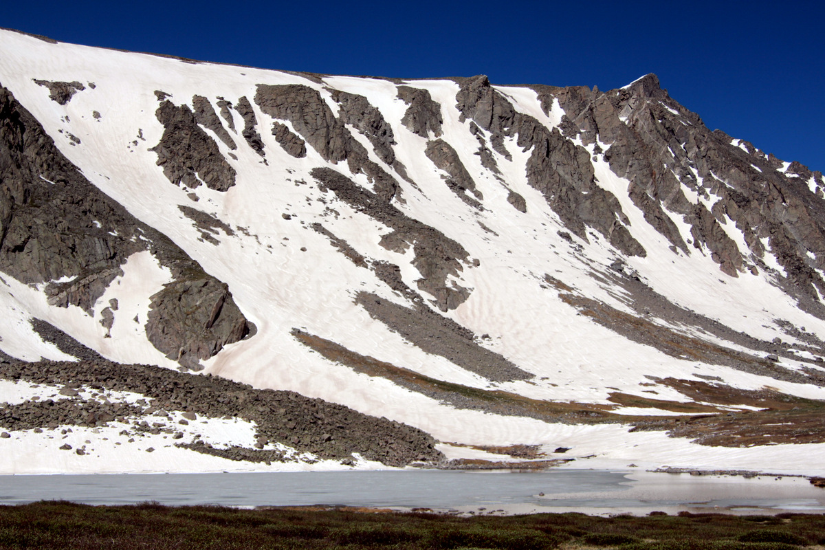
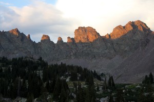
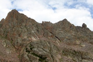
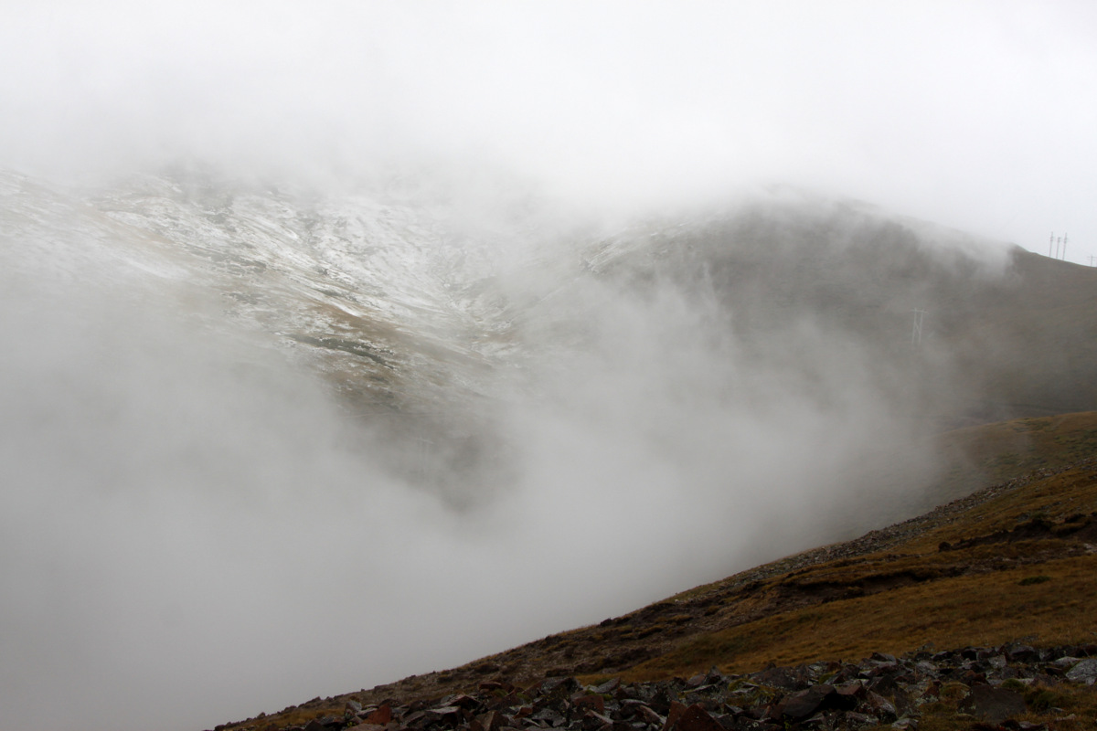
Zodiac Ridge from our campsite at the Zodiac Ponds
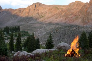
Our campfire
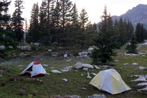
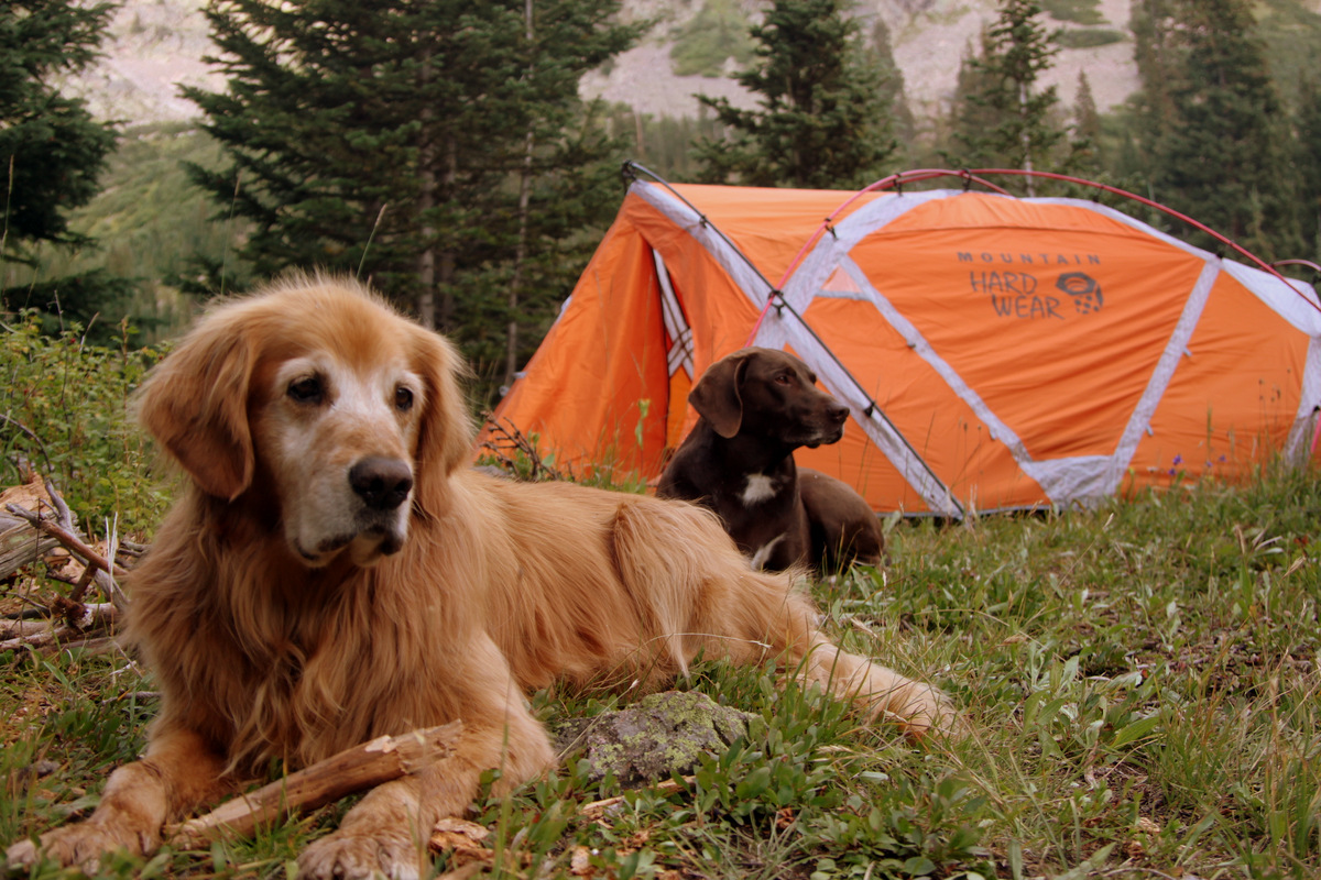
Our basecamp at the Zodiac Ponds

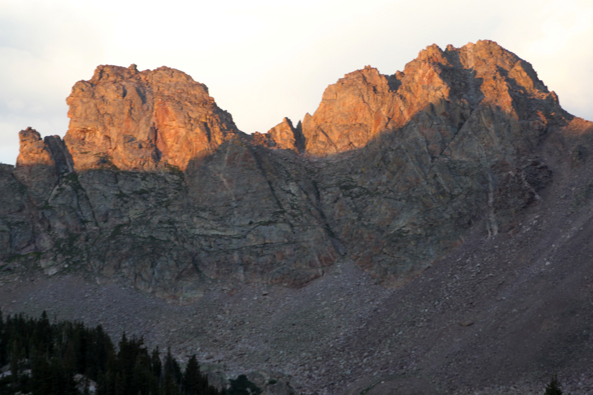
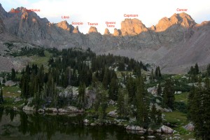
Cancer (right) & Capricorn (left) in the alpenglow

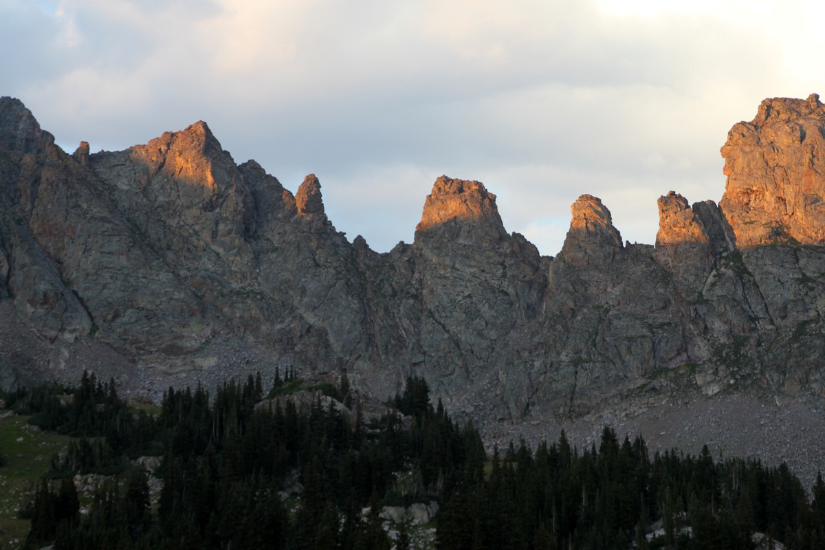
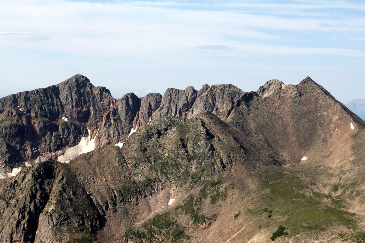
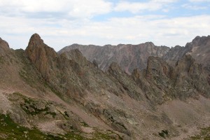
Right to Left: The north side of Capricorn, Gemini Twins, Taurus, Scorpio, Libra, the south side of Sagittarius
I can’t take enough pictures of this awesome ridge
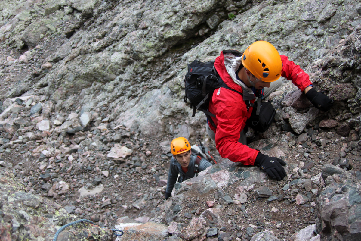
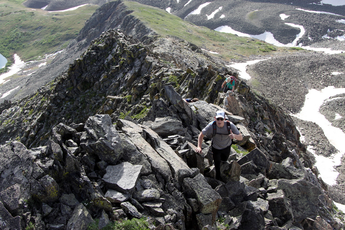
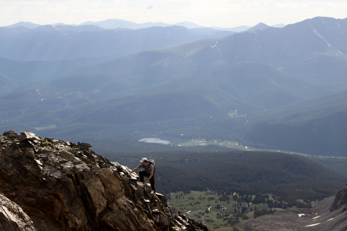
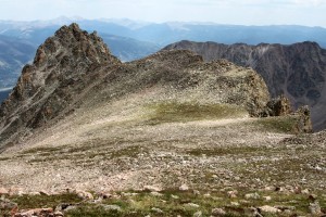
I woke up at 5am to my alarm and woke J up shortly after. We tried not to make much noise so as to let Keith sleep, but alas he sleeps like a log. We left camp at 6am, boulder-hopped along a boulder field and aimed for a long, steep grassy slope leading up to Red Peak’s north ridge. I figure a good and proper ridge traverse is defined as linking a ridge between two prominent peaks on each end. Thus, in my mind, I would like to summit Red Peak first before heading north along Zodiac Ridge. This is exactly what we did. J said he was glad he didn’t know beforehand how far Red Peak’s summit was away, but he didn’t have much ground for telling me that as we were on the summit of Red Peak by 7:15am – only an hour and 15 minutes after we left camp.

Looking down at Red Buffalo Pass & Demming Peak to the south from Red Peak’s summit ridge
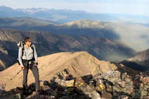
J coming up to Red Peak’s summit
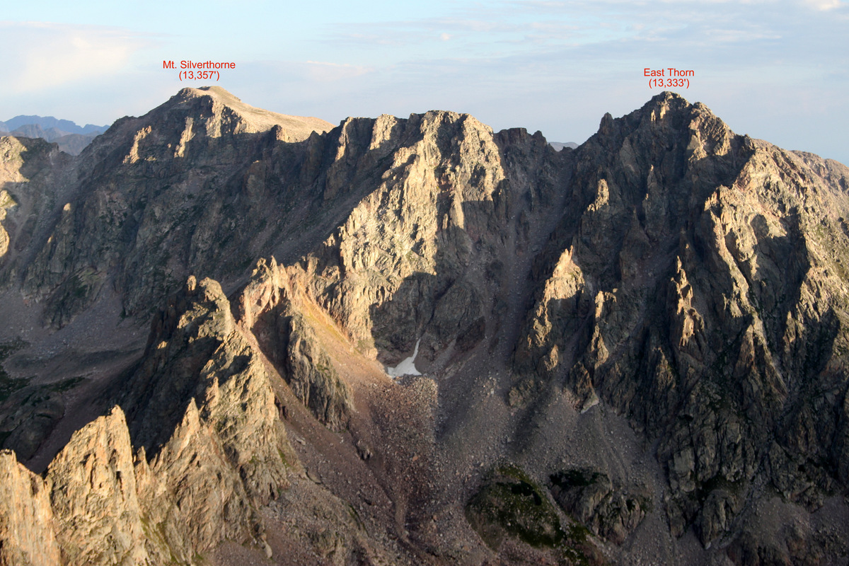
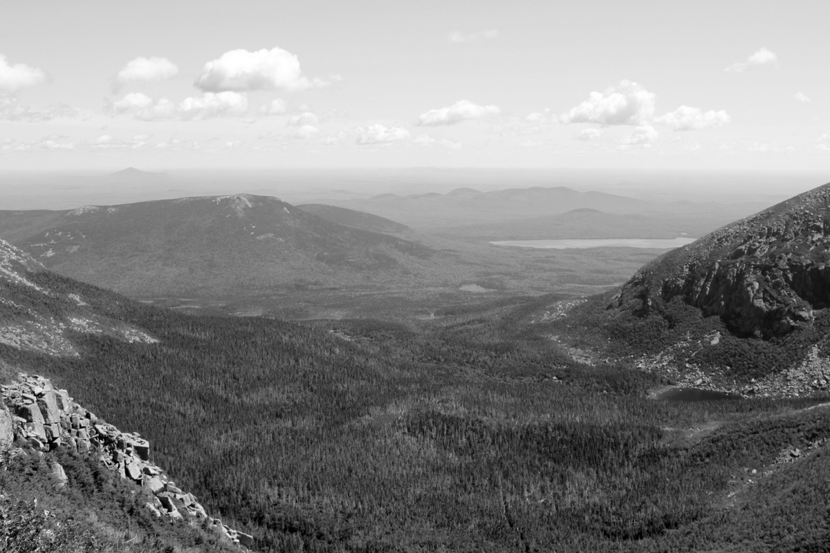
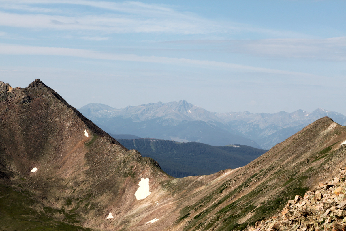
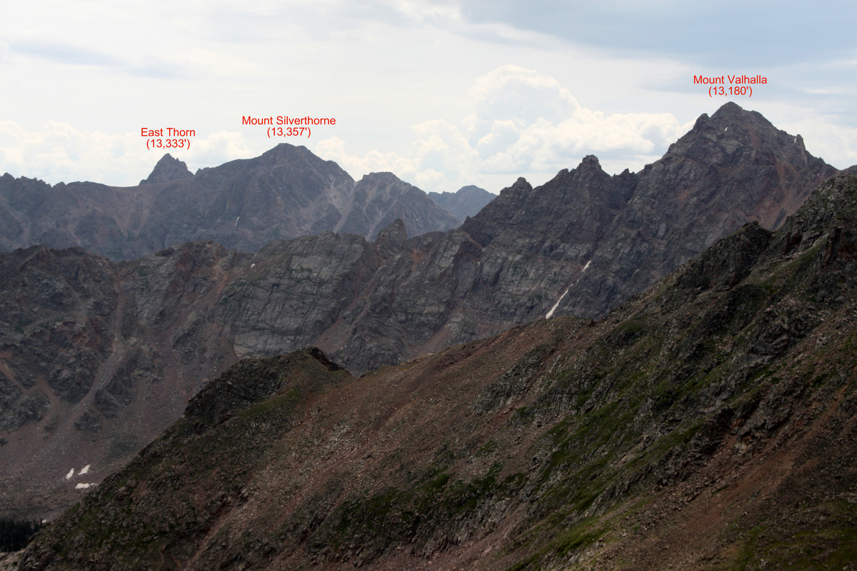
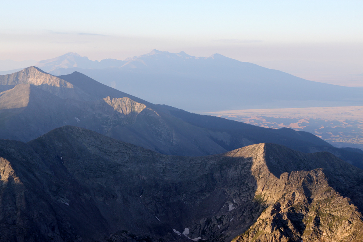
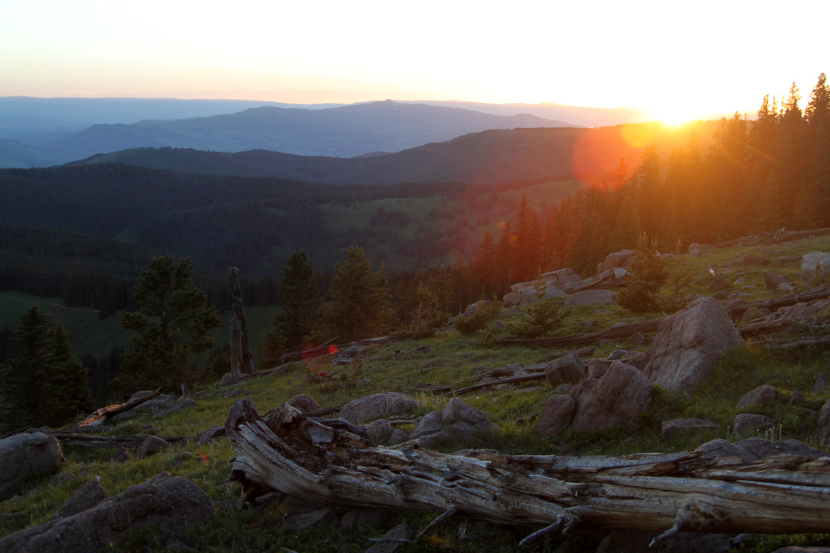
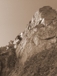
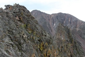
It was a nice morning – quite cool due to the whispy clouds. The Zodiac Spires to the north looked like a long ways away and pretty intimidating. We looked over at Mt. Silverthorne and East Thorn, the 13ers comprising the Silverthorne massif at the Zodiac Ridge’s northern terminus, and they all looked very far away.
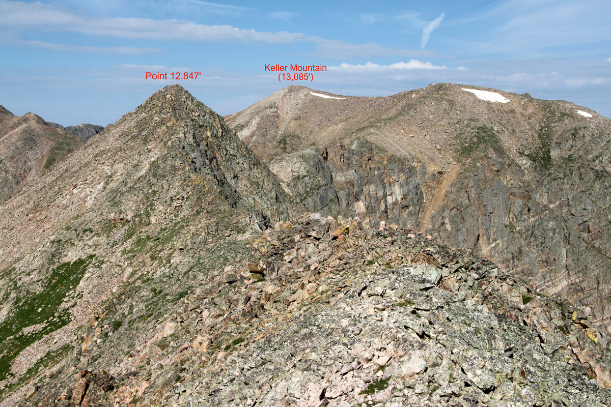
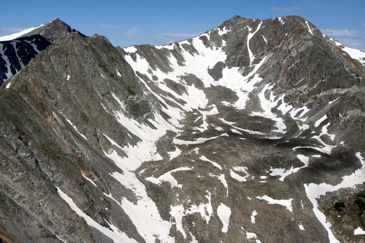
Zodiac Ridge and surrounding peaks to the northwest from Red Peak’s summit

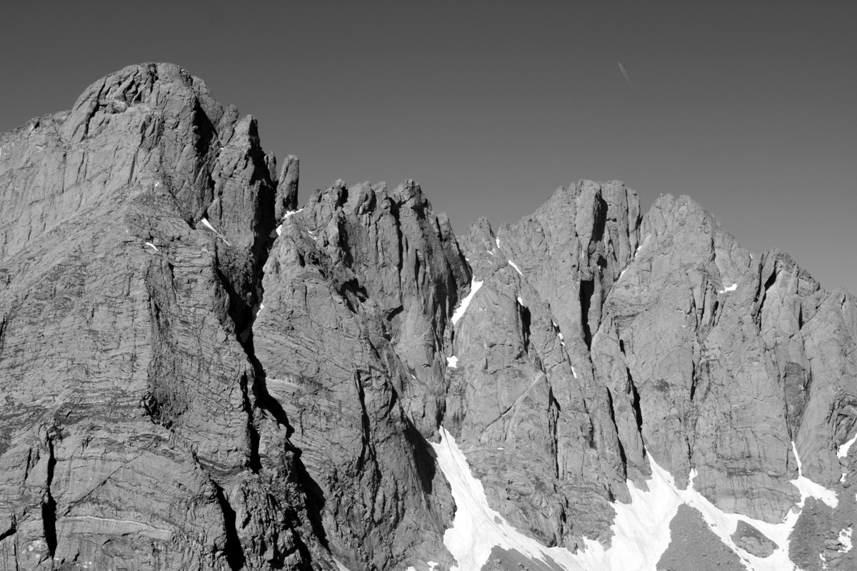
Zoomed-in shot of Zodiac Ridge from Red Peak’s summit

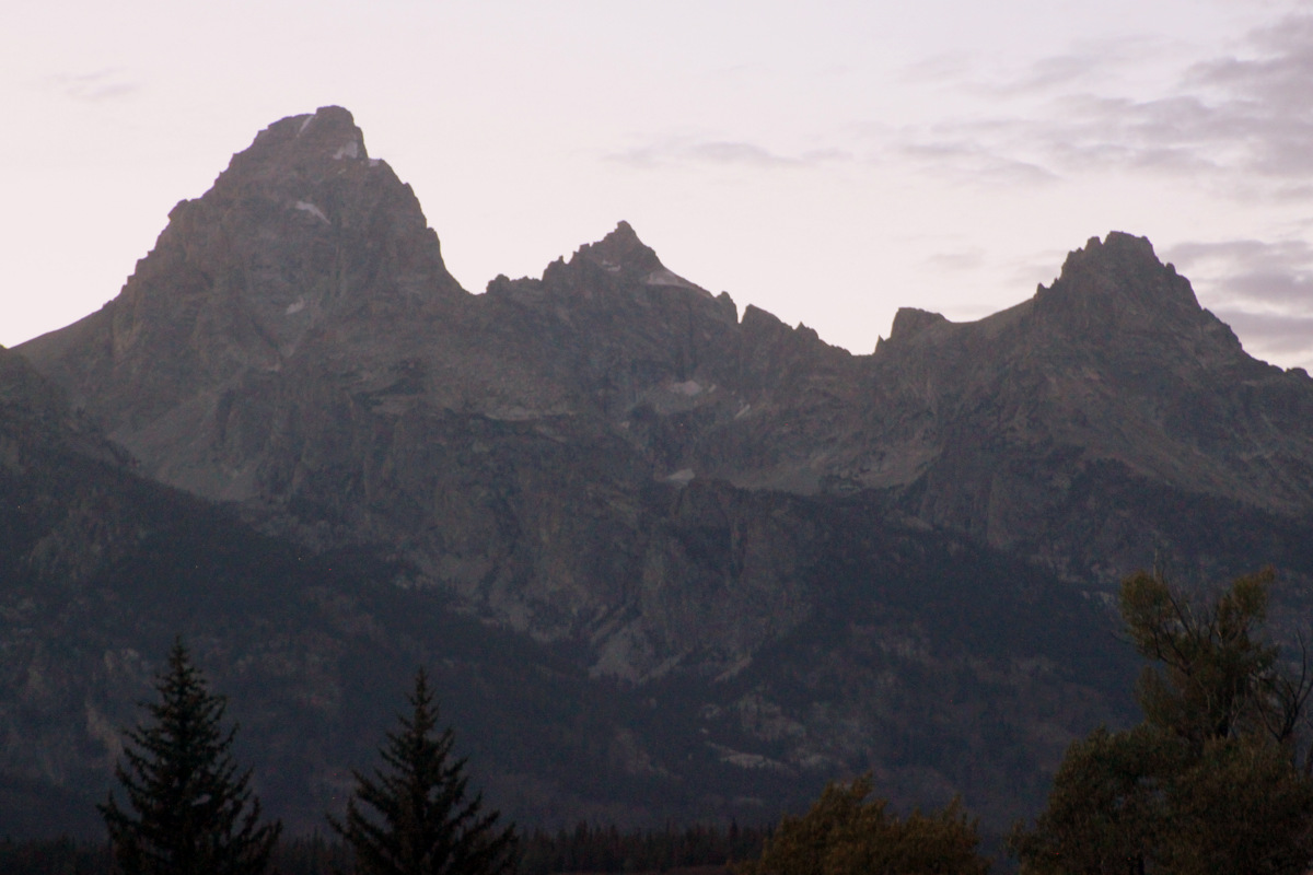
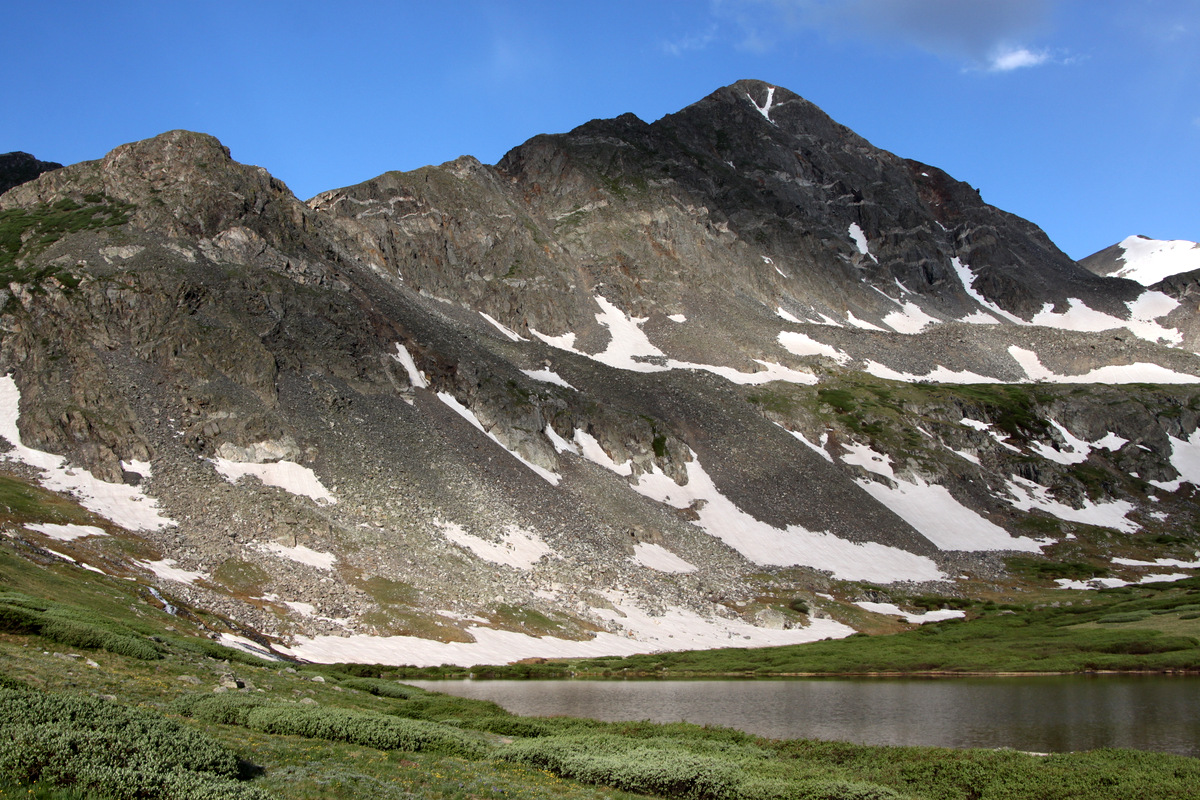
The Silverthorne massif
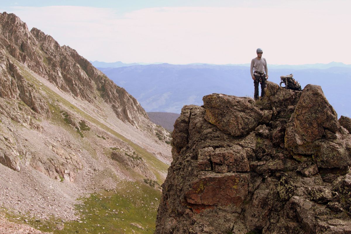
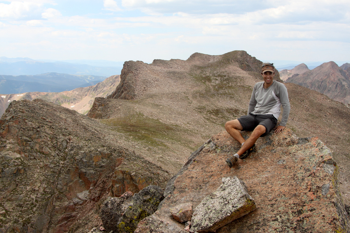
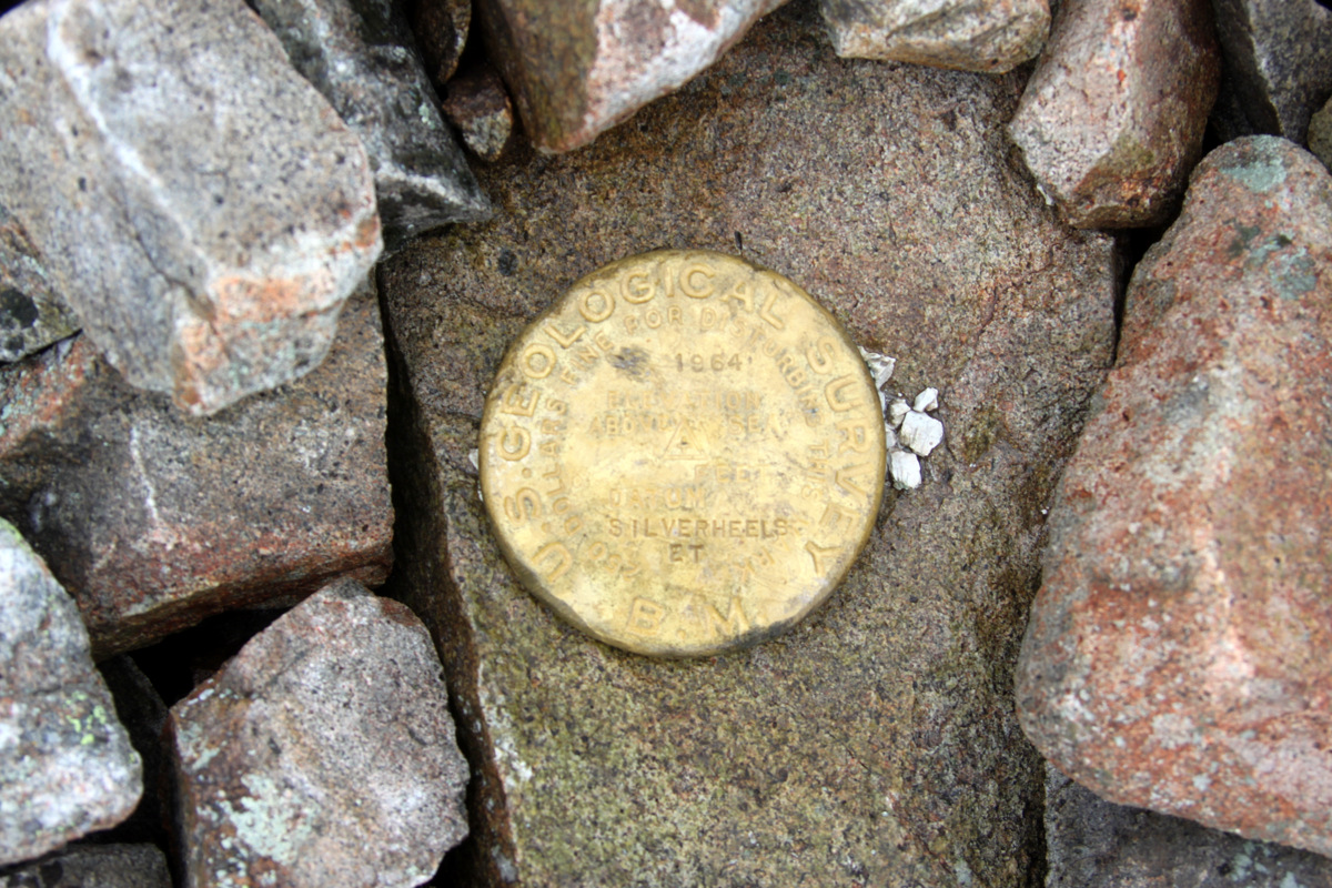
Red Peak summit (13,189′)
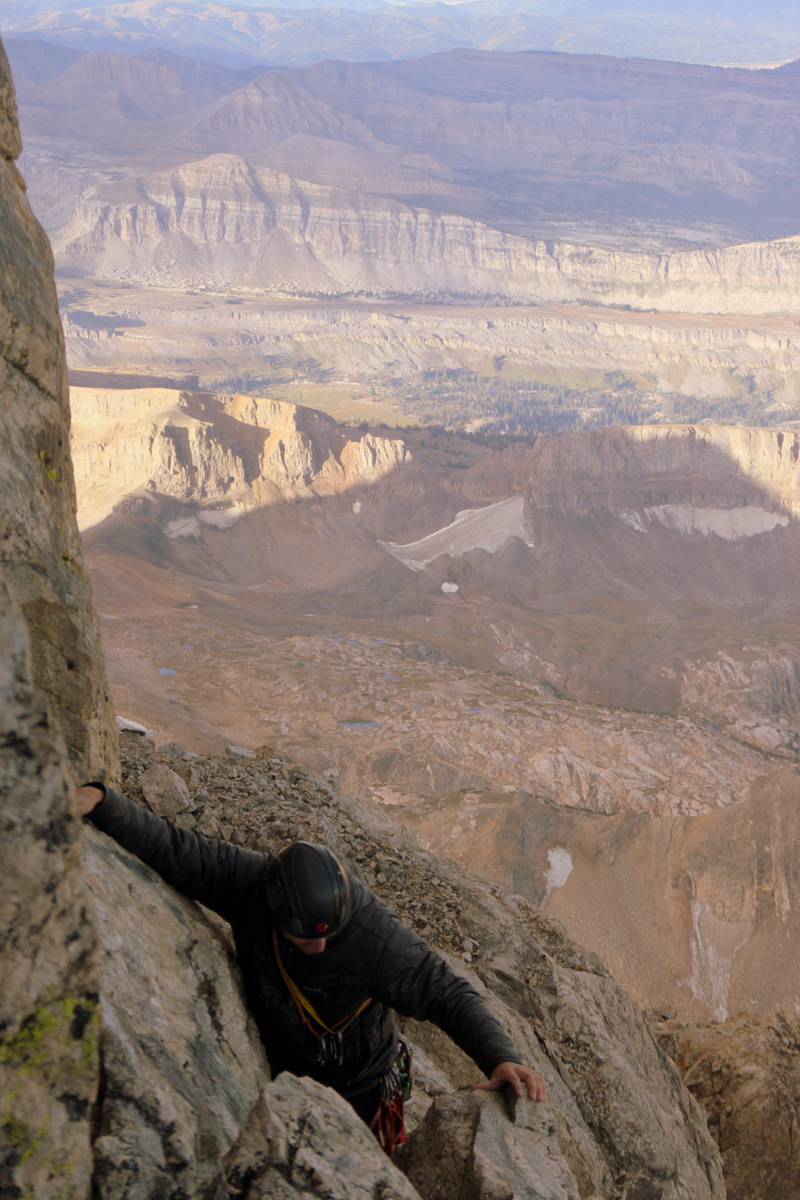
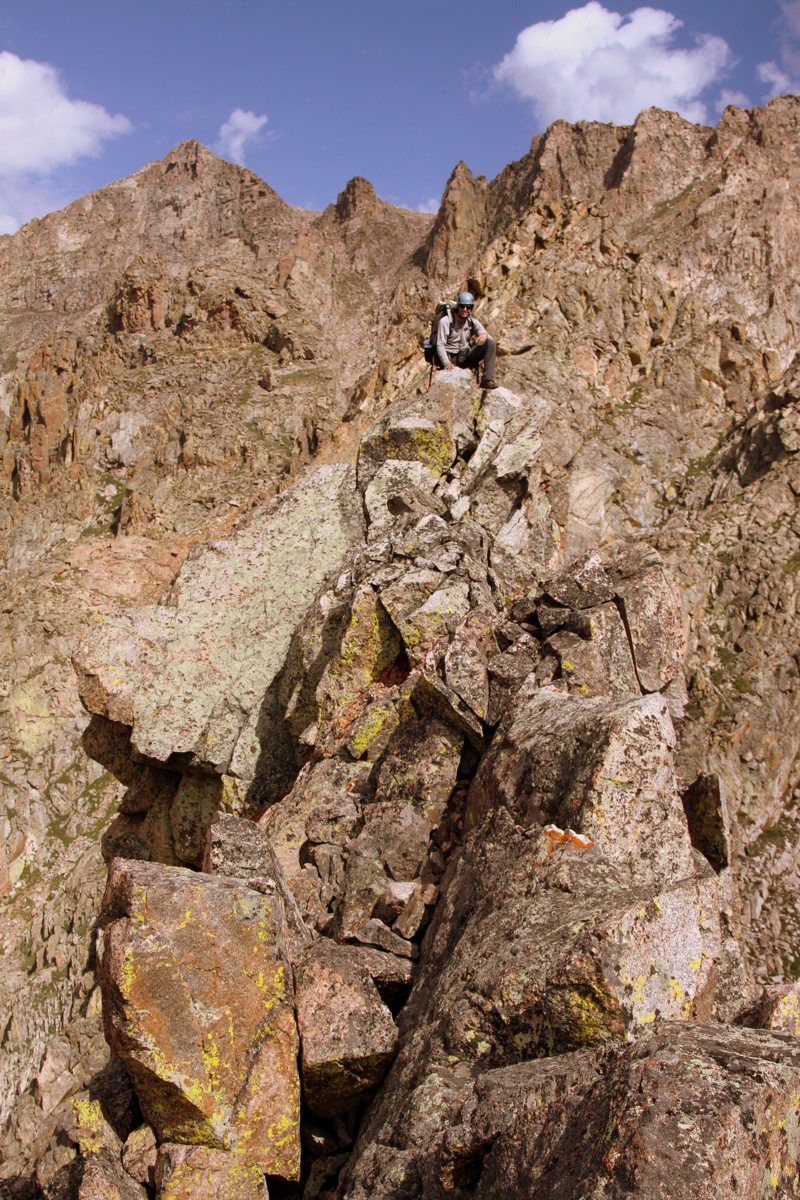
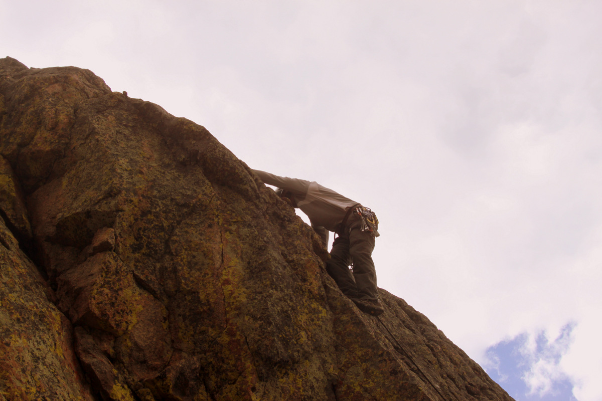
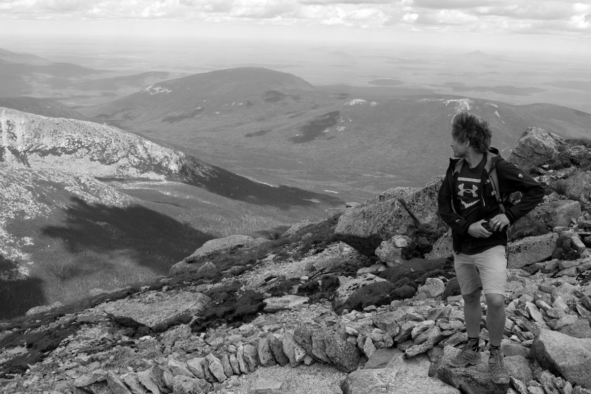
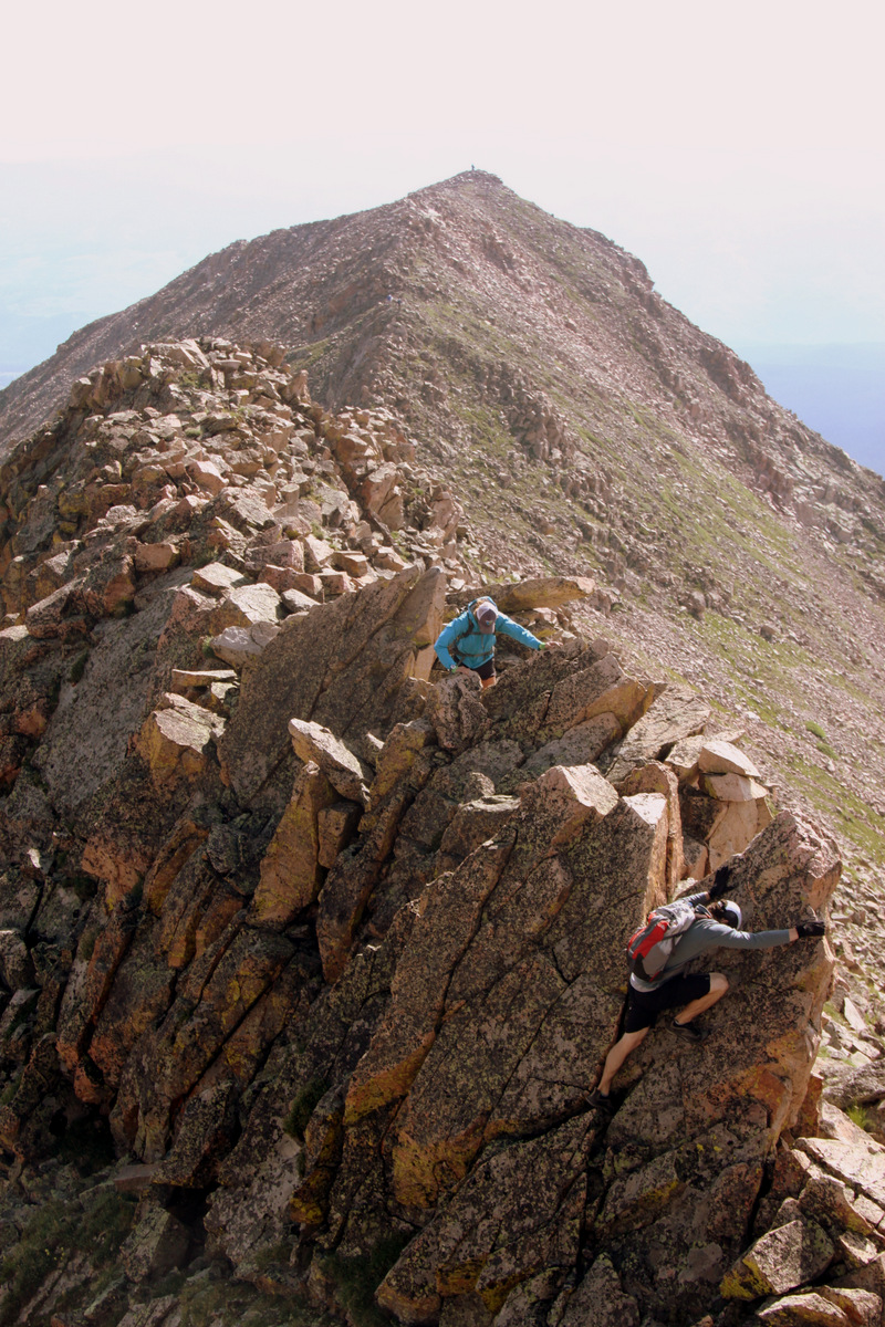
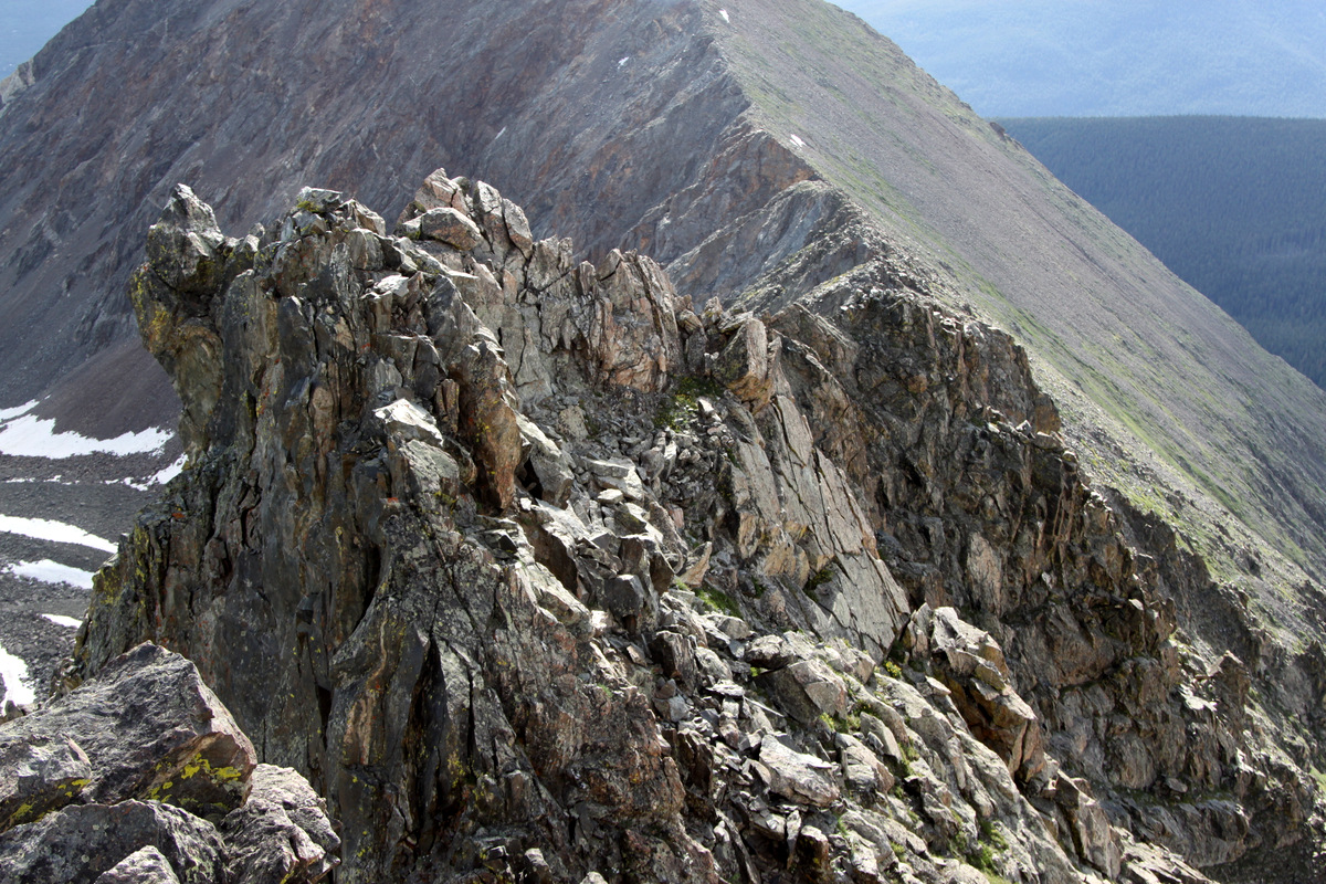
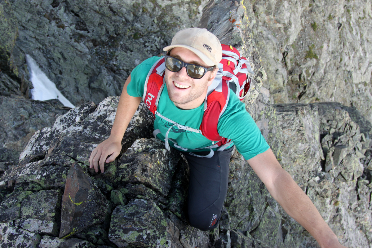
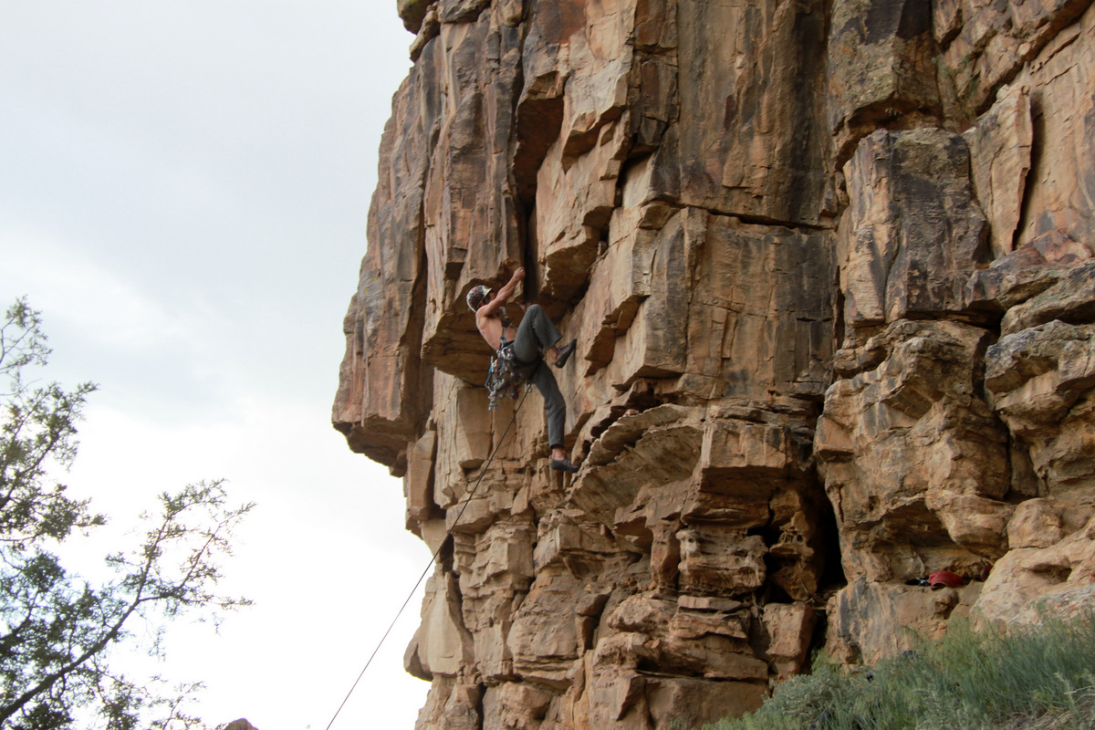
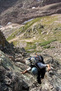
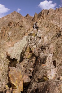
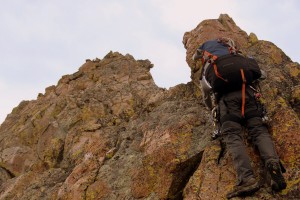
We left the summit and sped down Red Peak’s north ridge to the base of the most southern and largest of the Spires, Cancer. Cancer is likely the largest of the Zodiac Spires with Capricorn next door coming in at second largest. Now, I am a Cancer so I figured at least this Spire would take good care of me.
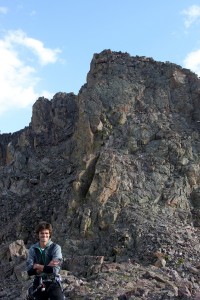
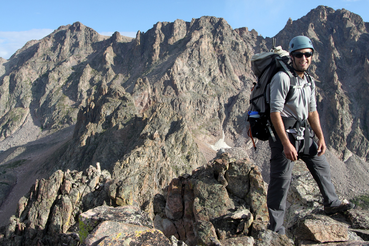
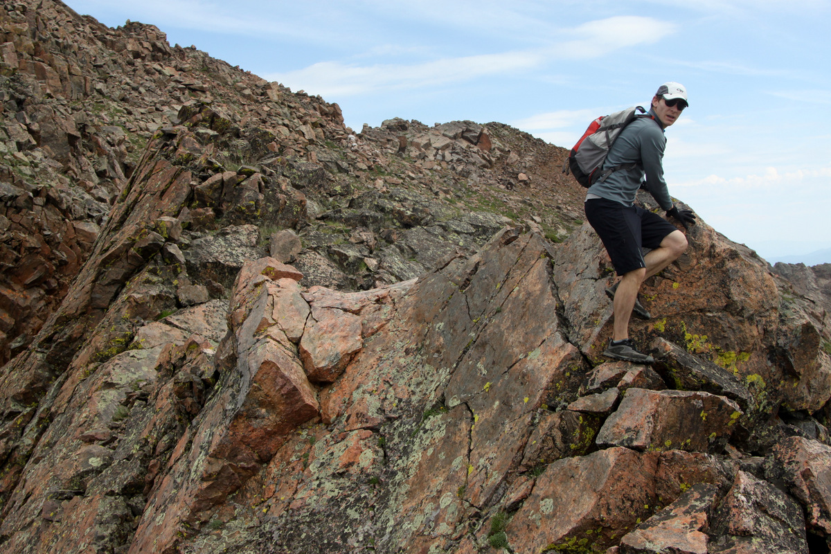
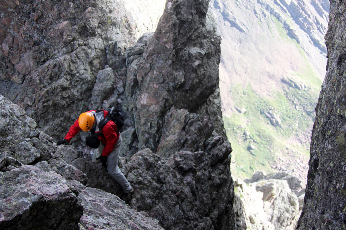
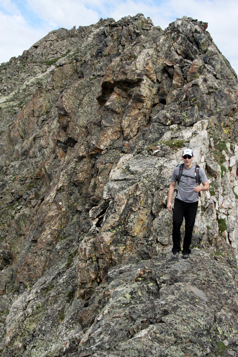
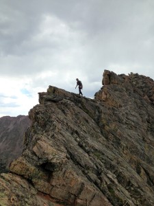
Me at the start of the most southern Zodiac Spire, Cancer
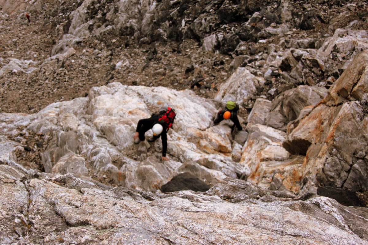
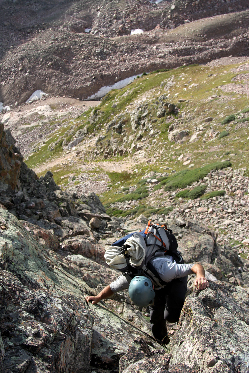
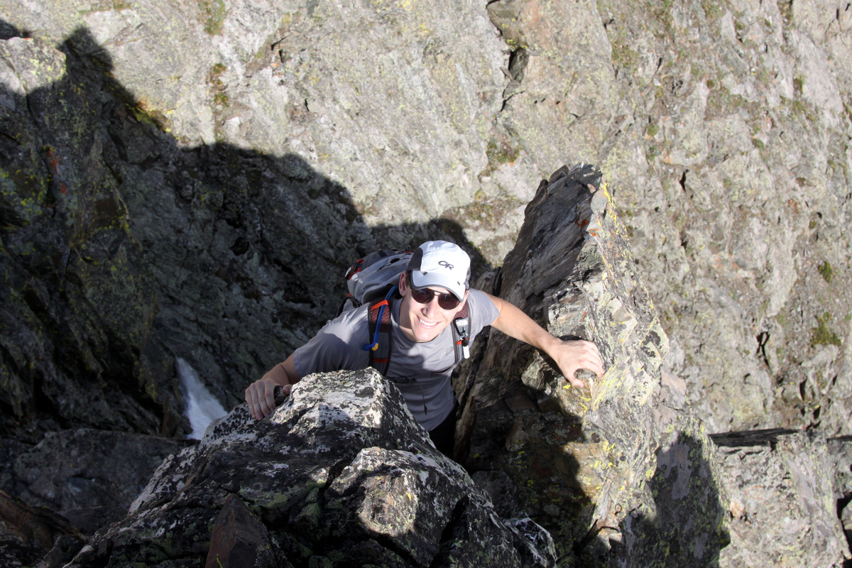
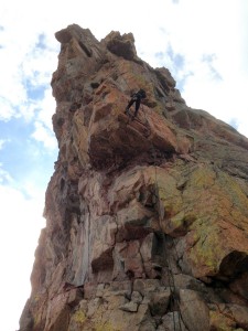
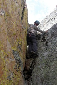
We climbed the south face/ridge directly to Cancer’s summit over really fun and airy class 3 and class 4 rock.
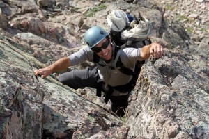
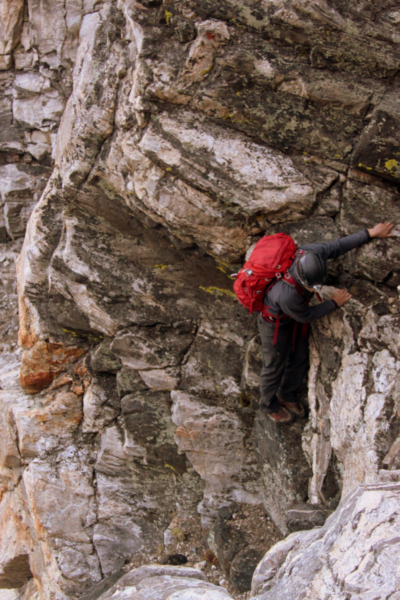
J climbing Cancer’s south ridge
J doing his thing
J on the summit of Cancer with our future behind him up to Mt. Silverthorne
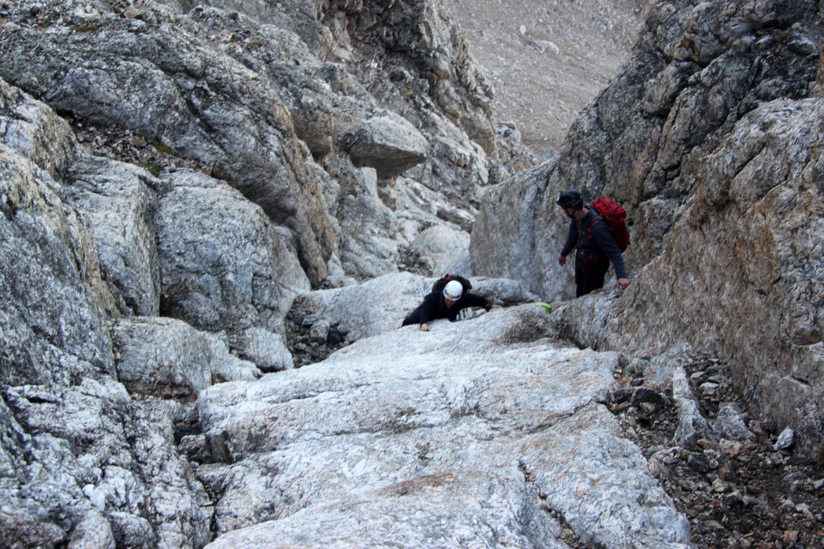
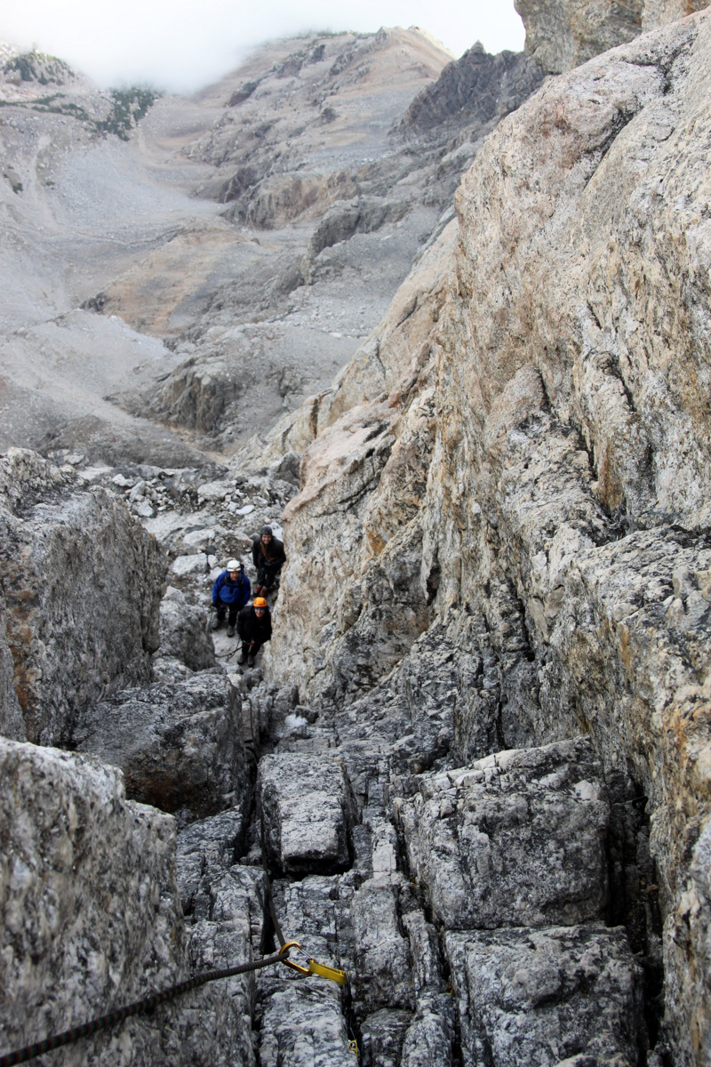
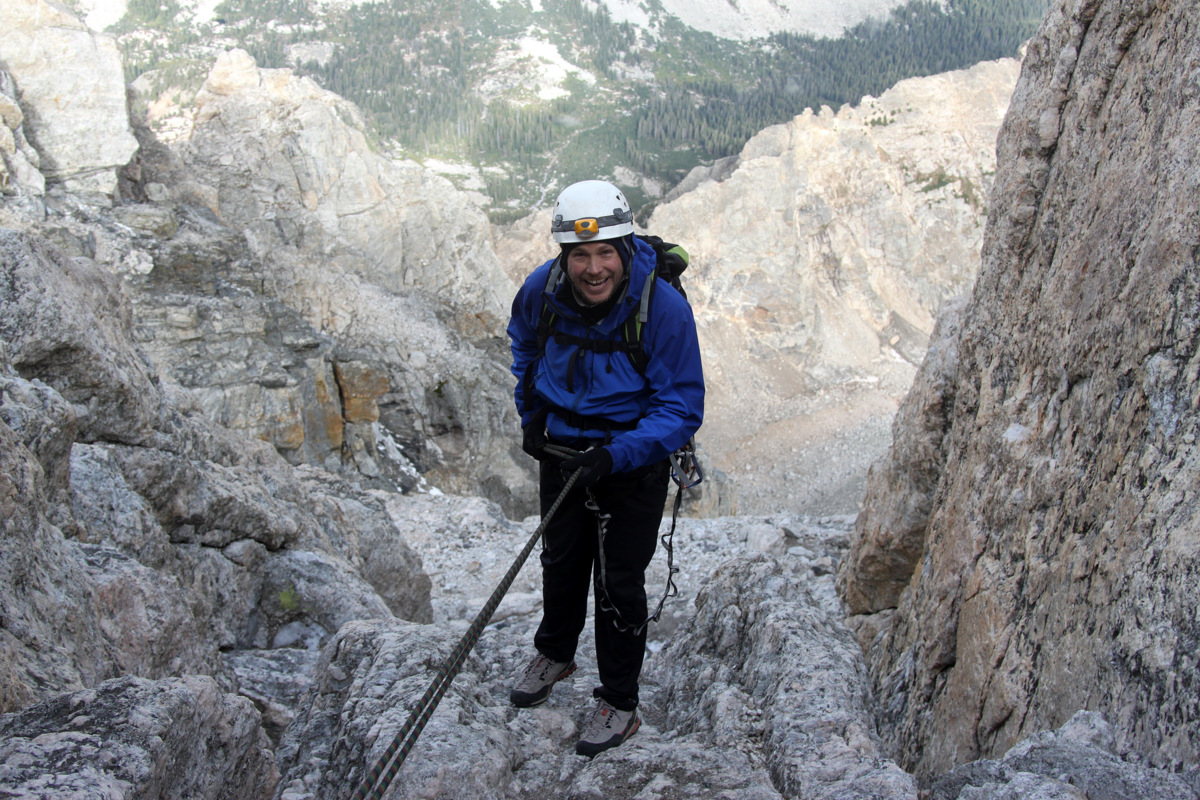
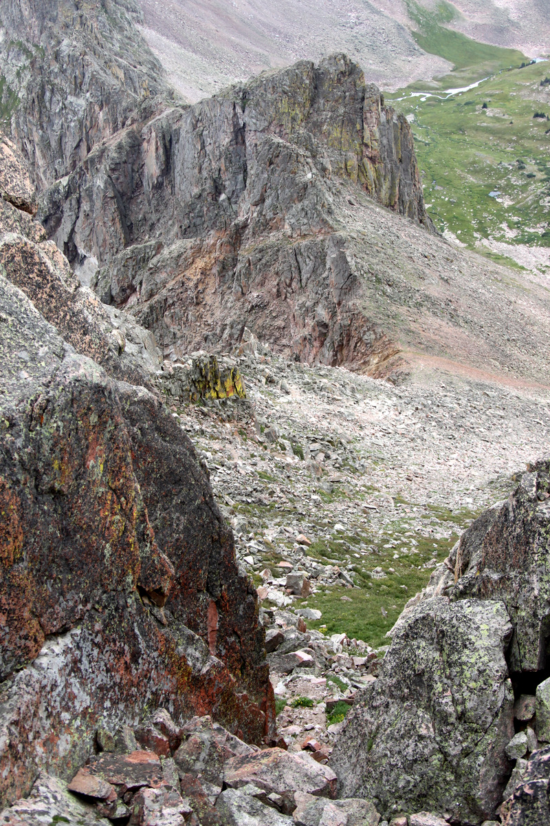
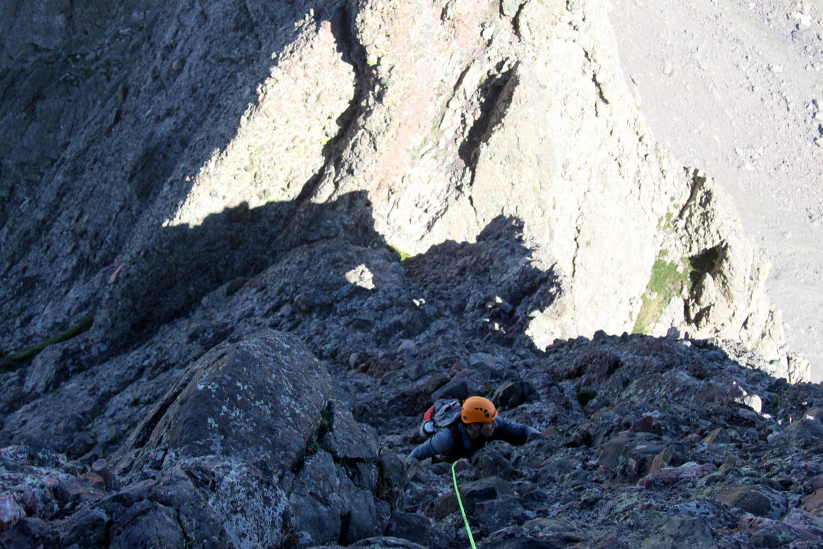
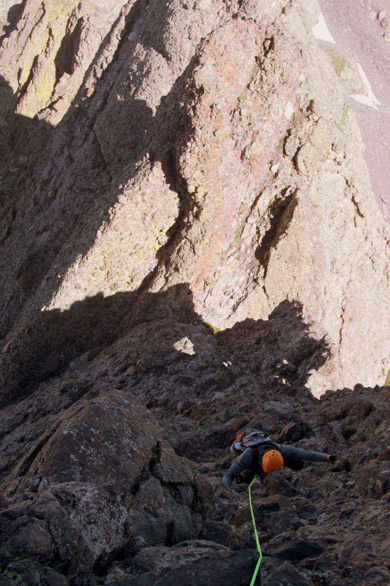
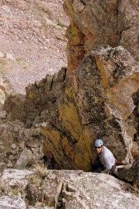
From afar at the Zodiac Ponds, it almost looked like perhaps we could scramble down Cancer’s north ridge. We did scramble quite a ways over class 4 rock until we came to a ledge with severe drop-offs on every side. Well, we donned our harnesses and gear, I withdrew the webbing and slings from my pack, and we looked for a secure anchor. The one boulder we had in mind seemed fine, but after a tug on the rope and webbing, it was definitely teetering – bad idea. However, the large boulder below provided a solid anchor and I tied my first 10 ft piece of webbing around it with a water knot. J rappelled first while I made sure the rope and anchor were secure. I went second and we landed on a small ledge 80 ft below, which after a few airy maneuvers, provided access to the saddle between Cancer & Capricorn.
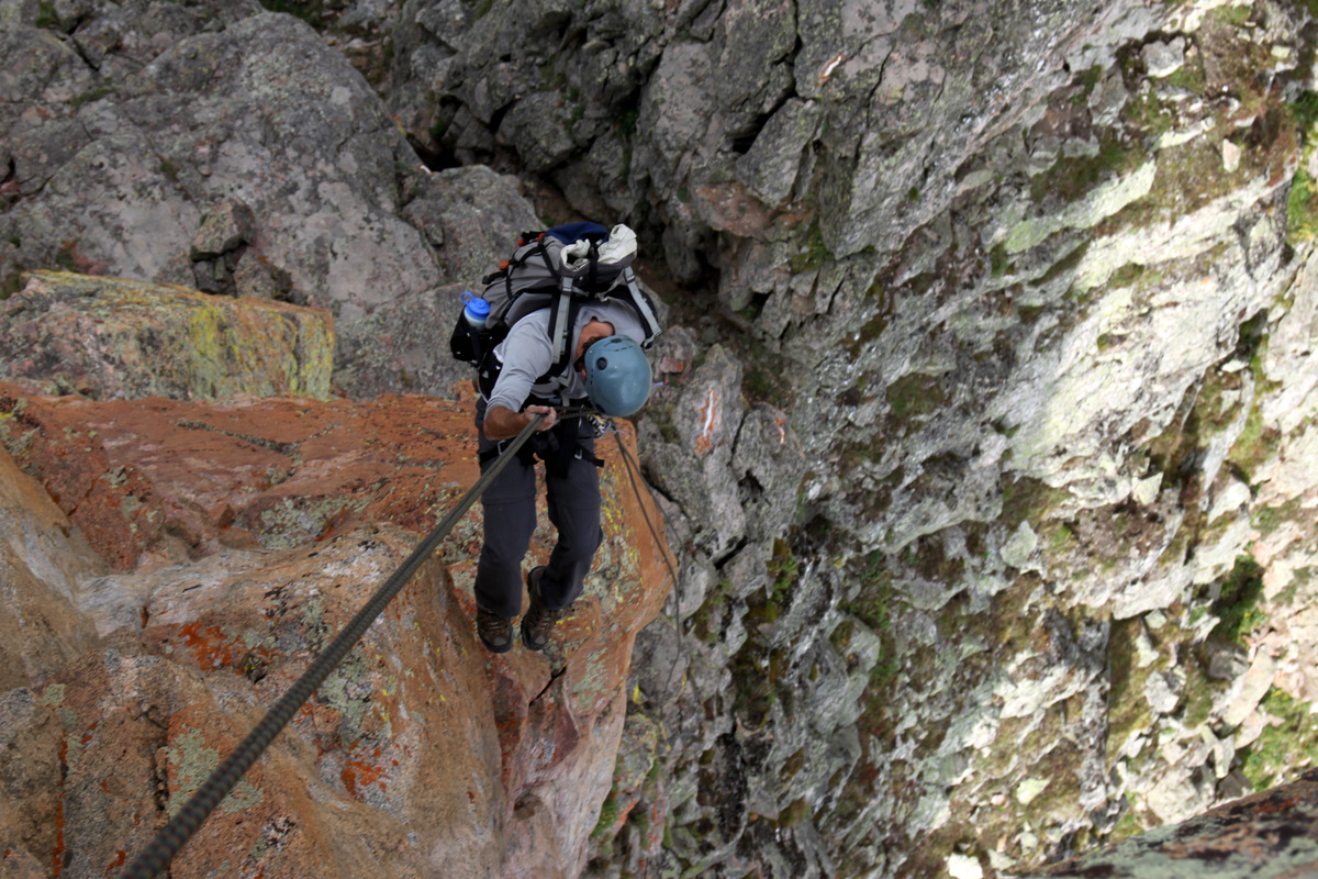
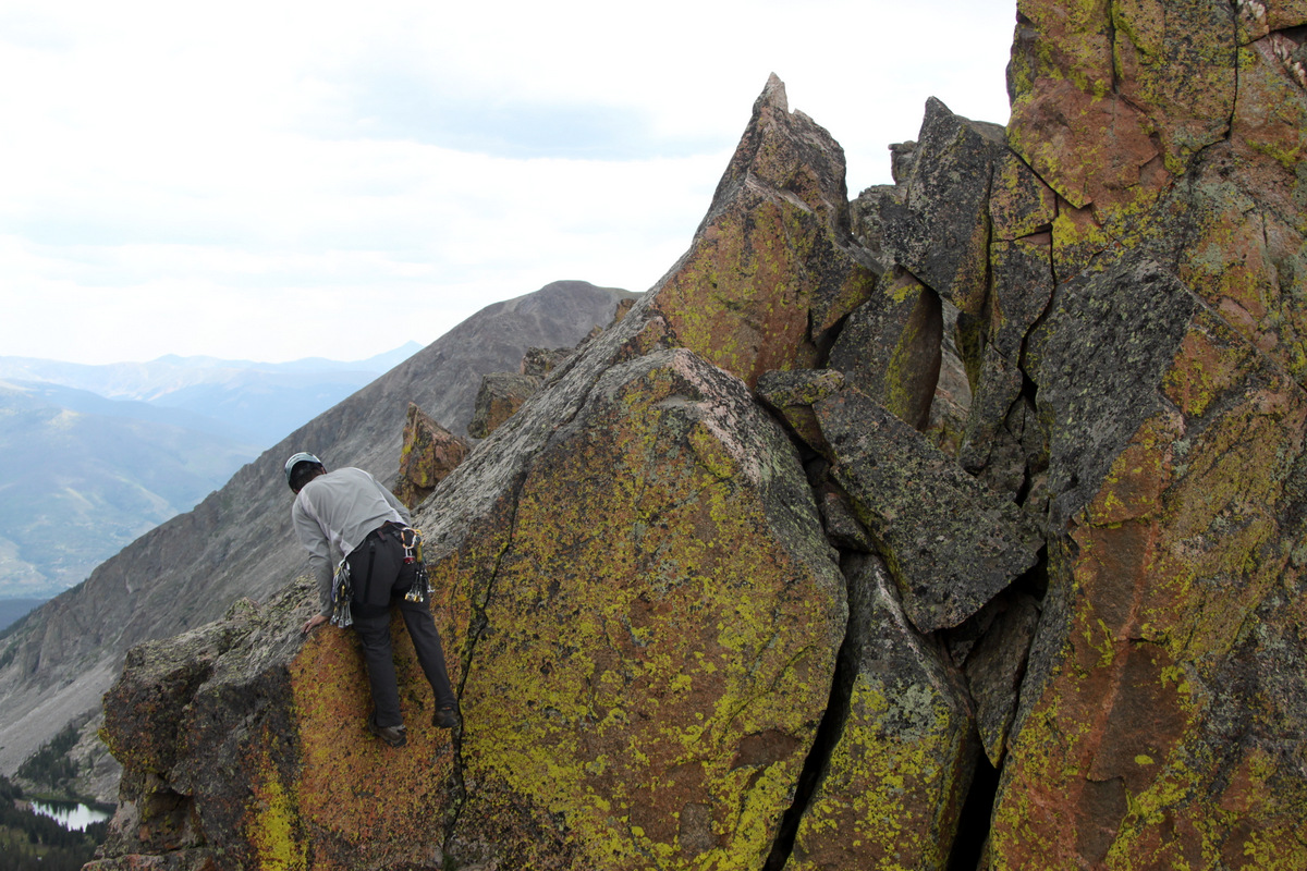
J rappelling off the northeast side of Cancer to more manageable ground
Me rappelling off Cancer’s northeast side
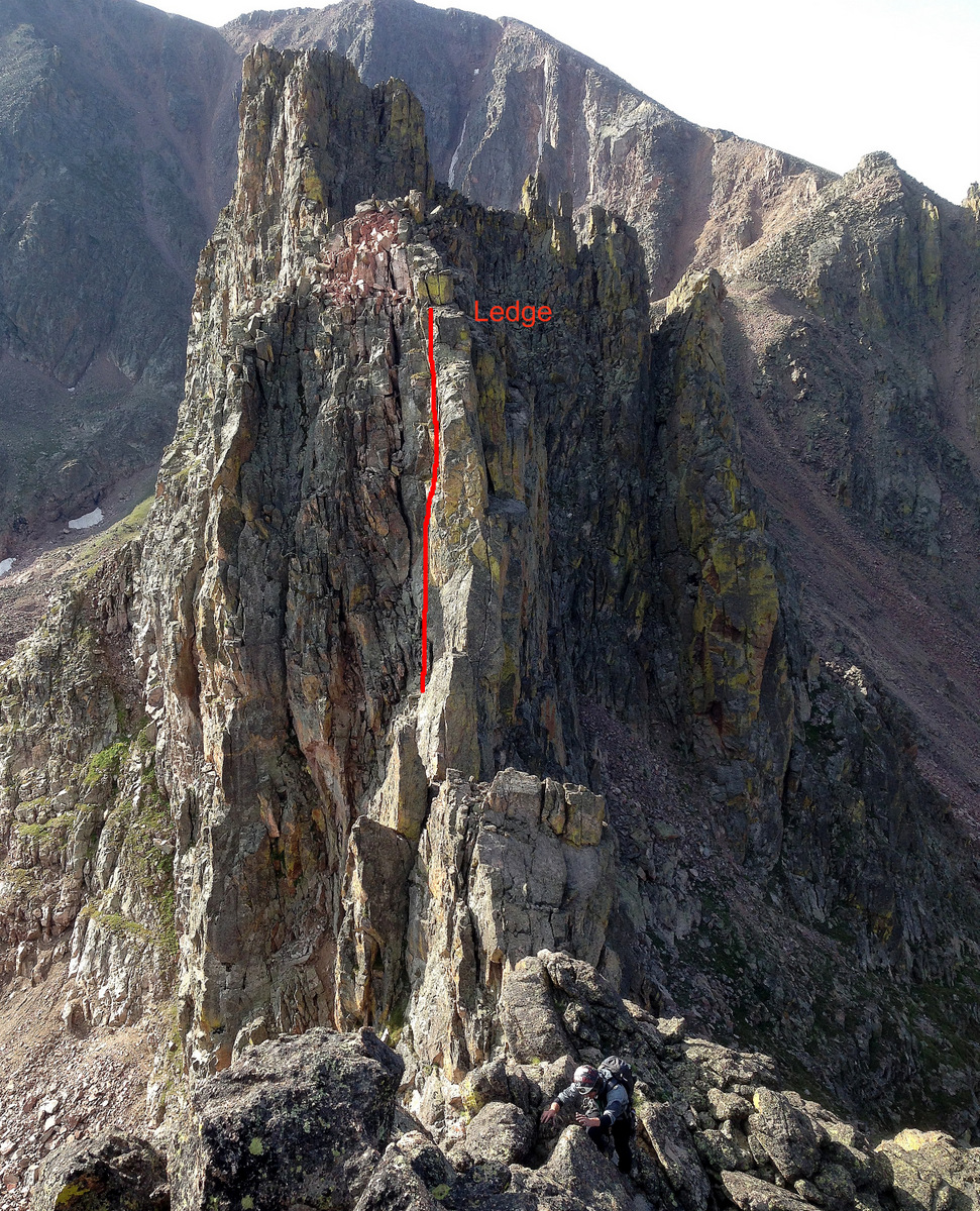
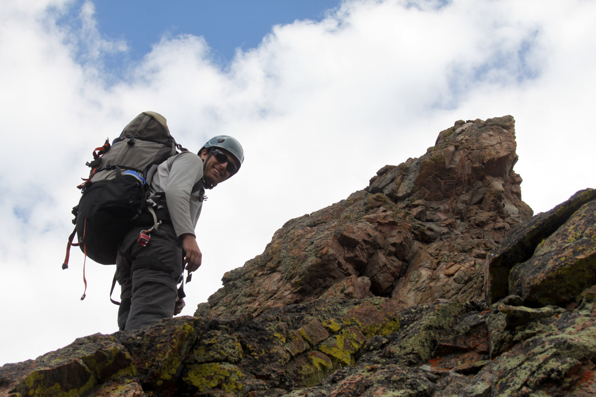
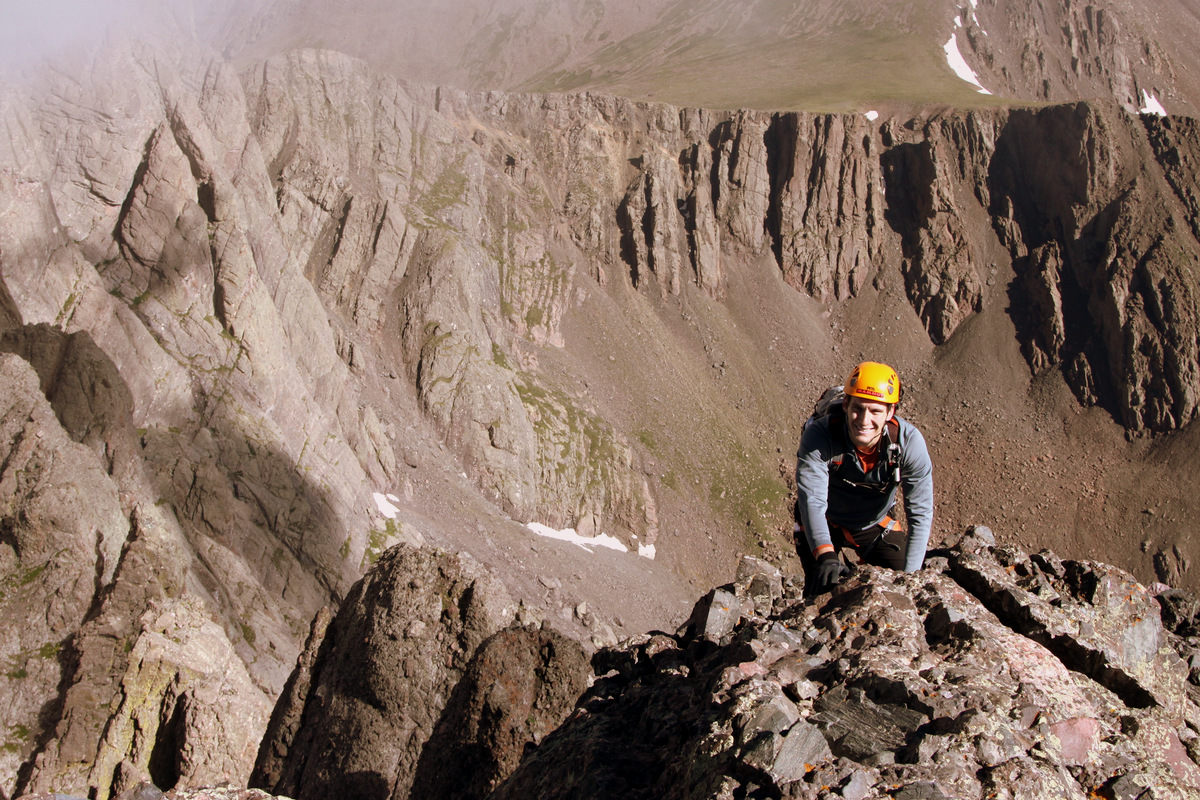
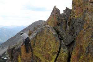
Well, the first big Spire was behind us and we continued on up the really solid class 3/4 rock to Capricorn’s summit ridge, which entailed an actual summit cairn.
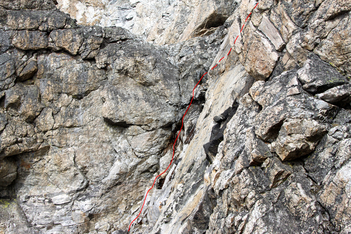
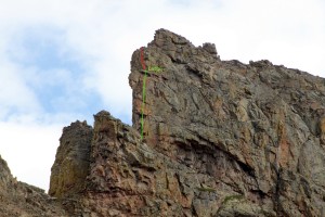
Me scrambling up Capricorn’s south ridge with our rappel ledge and rappel route off Cancer show in red behind

Me on top of Capricorn with Cancer behind me to the right and Red Peak in the distance behind me to the left
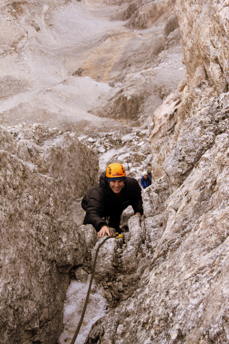
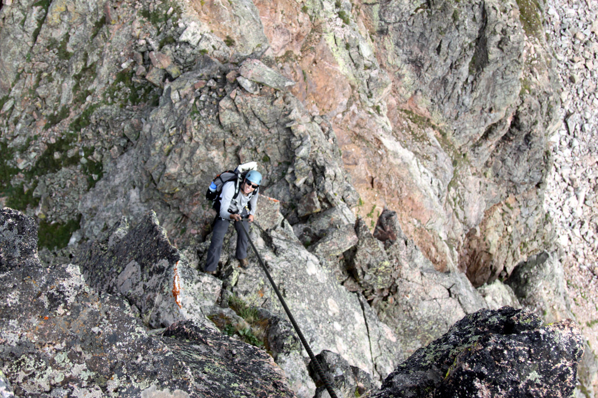
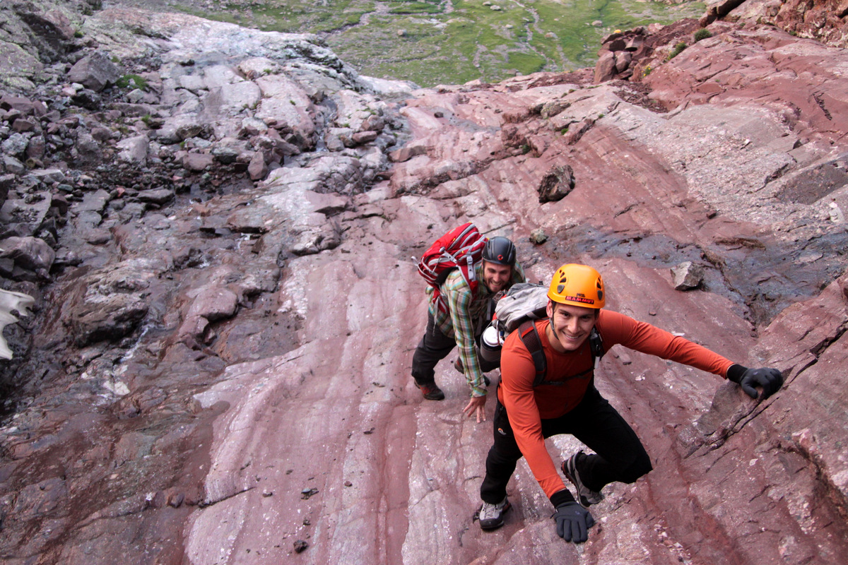
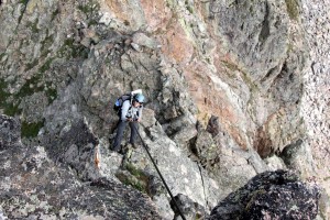
Now, we knew there was going to be a big rappel off Capricorn’s north ridge because of what we saw from a distance. We were just hoping our one 9.8mm/60m rope would be enough or that there was a ledge to build an anchor and set up a second rappel station. We traversed the summit ridge to the northern end and figured we could scramble down about 30 ft to another large ledge. We did so only to find serious drop-offs on every side. J spotted a small ledge 30 ft down the north ridge at which point I believe we could get the rope to reach the ground. So, we found a good rock horn to loop the rope around and each of us rappelled down to this extremely airy ledge. I again looped my second 10 ft piece of webbing around a solid boulder on the small ledge, we pulled the rope from above, and set up the second rappel by looping the rope through the webbing and throwing the ends. At the last second, we could tell the ends barely reach a rock ledge which provided easy access to the next Spires, so we were good to go. J again went first.

J on the second rappel off Capricorn’s north ridge

J rappelling Capricorn’s north ridge
Me rappelling Capricorn’s north ridge
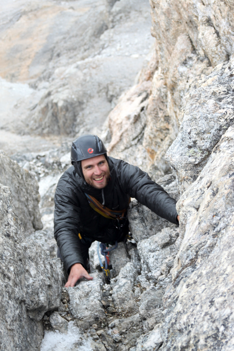
This was a full 90 ft rappel and a mostly free-hanging rappel, which added to the excitement. We were “hooping” & “hollering” and we could hear the same from Keith who at that time had just summited Zodiac View across the basin and was obviously having a ball watching us on the ridge. I thought to myself how cool it would be to have front-row seats to watching climbers traverse these Zodiac Spires. I’m very glad Keith decided to pack in with us on Friday and summit Zodiac View this morning. We then pulled the rope after I got to the ground, coiled the rope, and continued onto the Gemini Twins, which were right next door. Gemini Twin (south) comprised really two summits with a steep gully separating the two. A short class 3/4 scramble up for only about 30 ft put me on the west summit and J on the east summit.

J on the east summit of Gemini Twin (south)
I then traversed over to the east summit where J was and while we could have maybe down climbed the gully to the north, we just found a rock to rappel off of since we were already in the rappelling mode and mindset.
Me rappelling down the east summit of Gemini Twin (south)
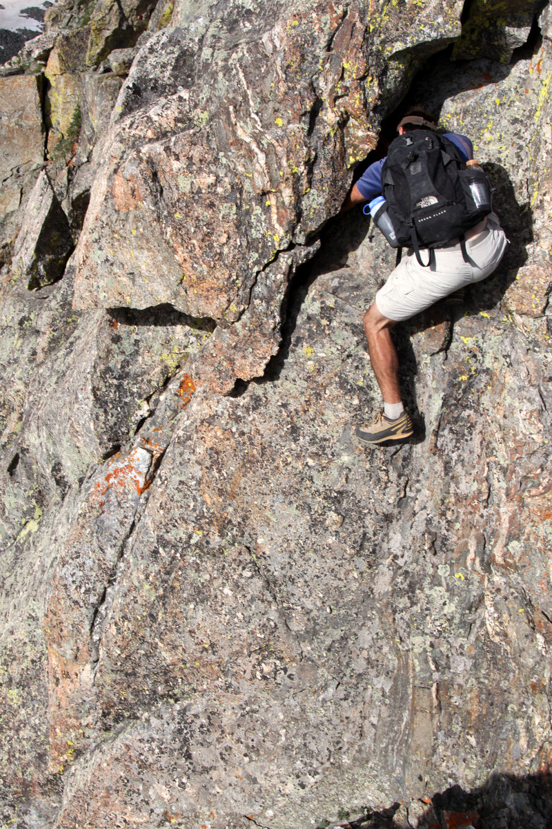
Gemini Twin (north) was next which consisted of a fun class 3 scramble up to a notch and a nifty low 5th class 15 ft dihedral on its north side to access the summit.
Me traversing over to Gemini Twin (north)
J climbing up to Gemini Twin (north)
Wer found a pretty cool 15′ dihedral (maybe low 5th class) to access the Gemini Twin (north) summit without pulling out the rope and rack

J on the summit of Gemini Twin (north)
J heading down into the 15′ dihedral from the Gemini Twin (north) summit
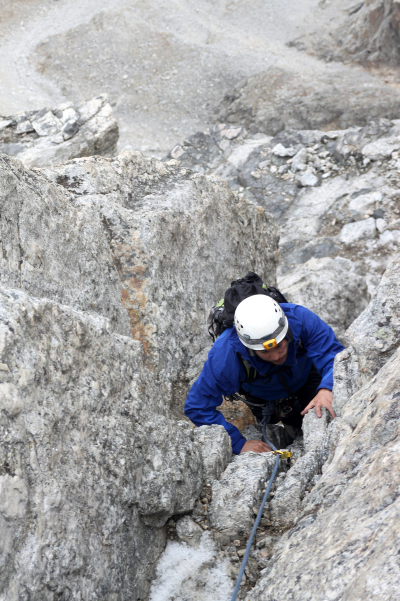
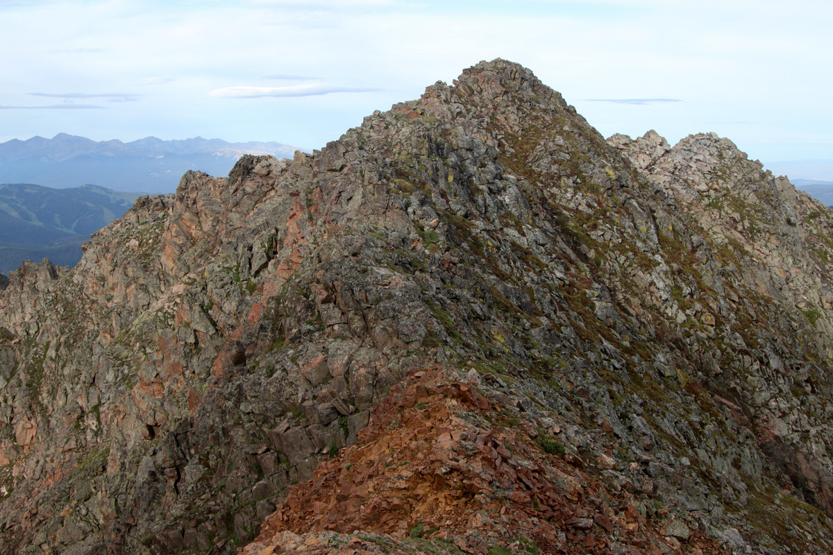
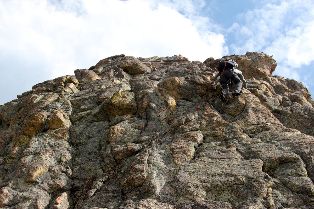
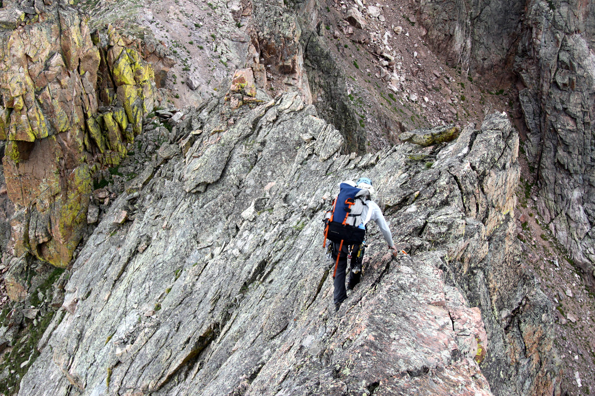
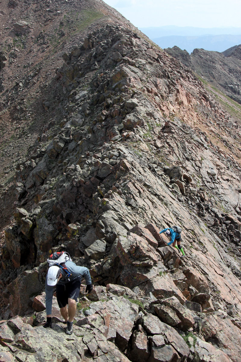
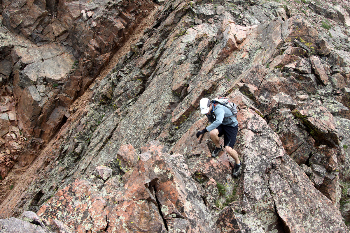
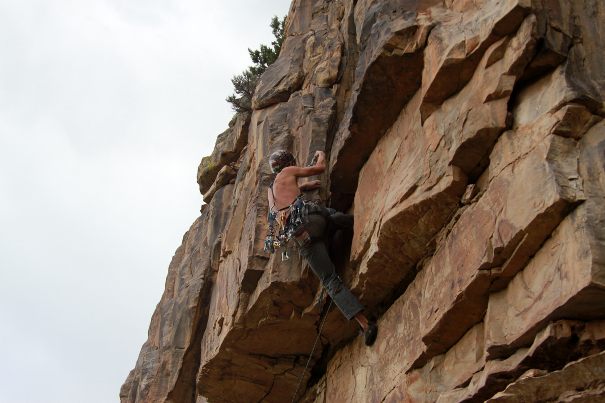
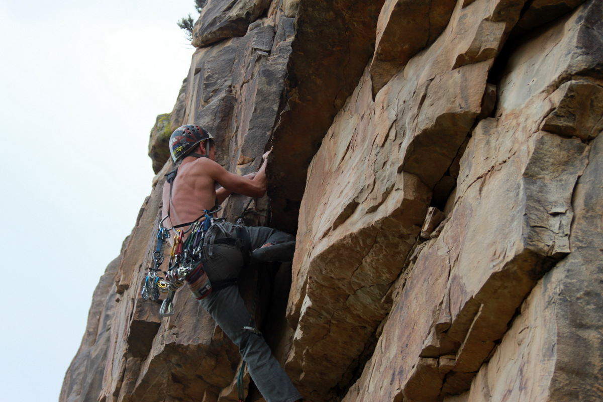
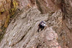
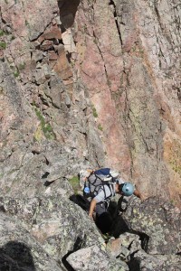
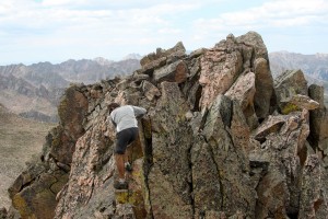
After the down climb off Gemini Twin (north), we scrambled up to the base of Taurus’ southwest face and scoped out a potential route. From afar, this face looked almost too vertical to scramble up and may warrant a rope. However, upon closer inspection, it looked to be some of the most solid & fun class 4 rock for about 80 ft to its summit ridge – something akin to Crestone Needle’s class 4 summit pitch after traversing from Crestone Peak. This scrambling was a delight and one of the highlights of the Spires for me.

J climbing Taurus’ southwest face
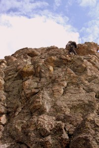
J on the class 4 rock of Taurus’s southwest face
Taurus’ summit ridge was very narrow, exposed, and exciting and I joined J on the northern end of the lengthy knife-edge scoping out a rappel station. I found a good location for a single sling, fed the rope through it, and off we went down Taurus’s steep north ridge for about 80 ft.
J at the northern end of Taurus’s extremely airy knife-edge ridge
J rappelling off Taurus’ north ridge
Me about to rappel off Taurus’ north ridge
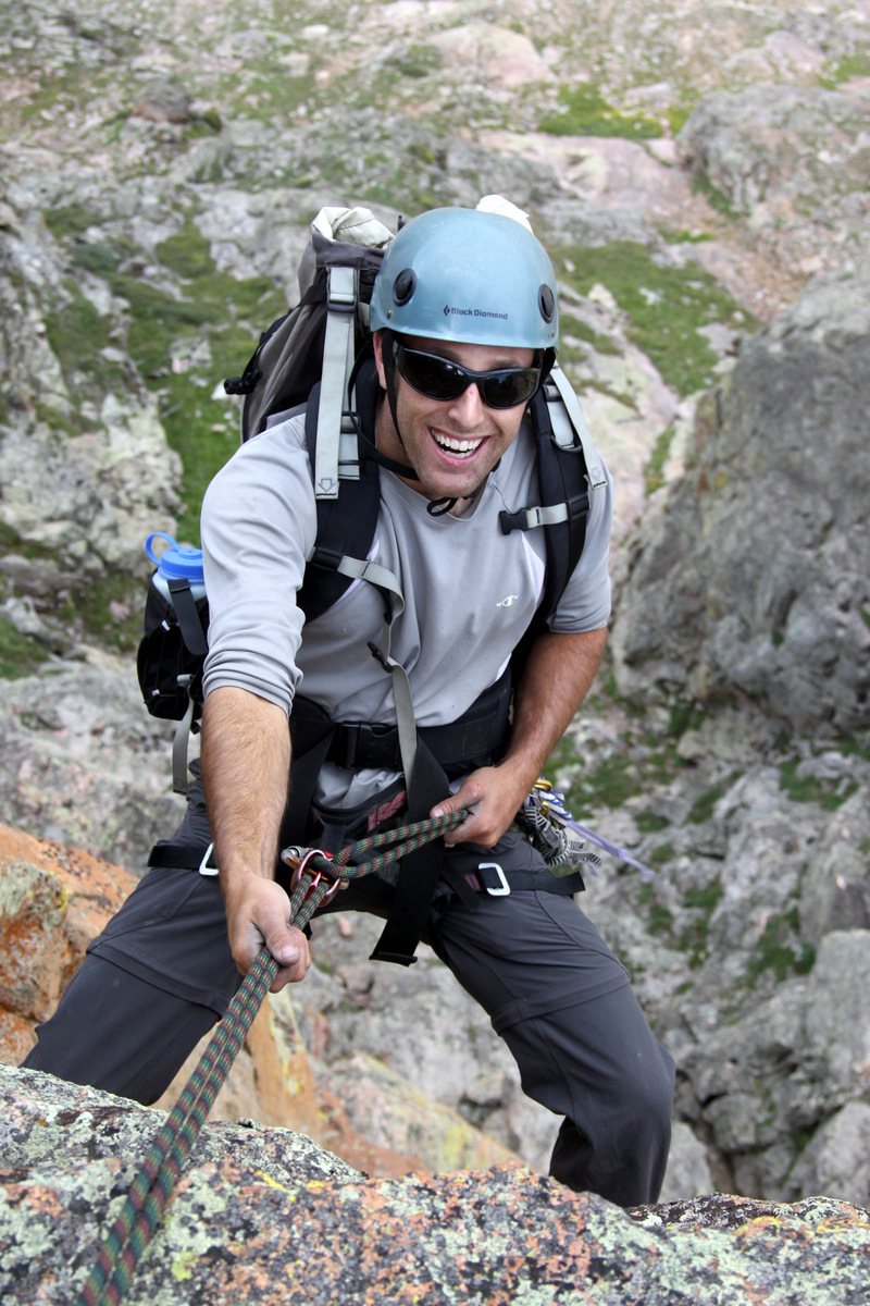
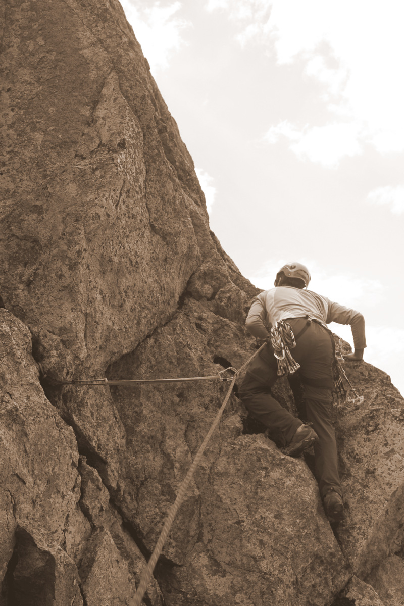
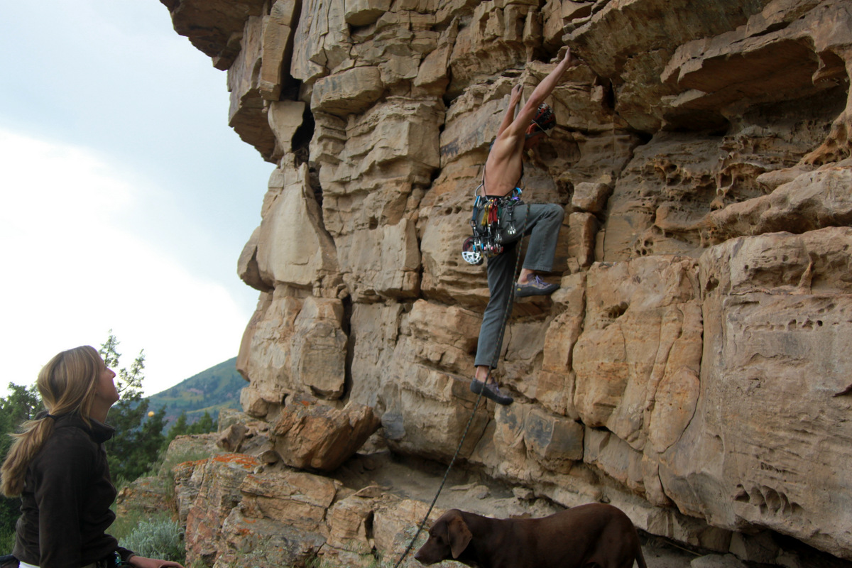
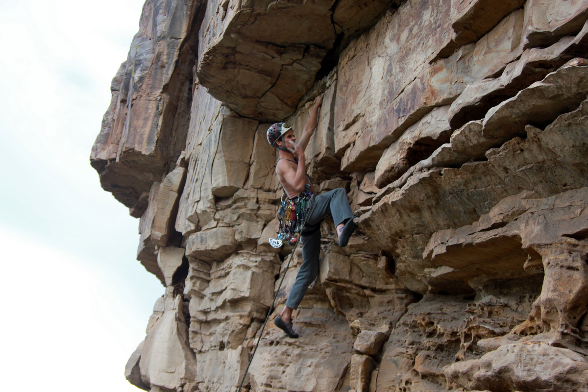
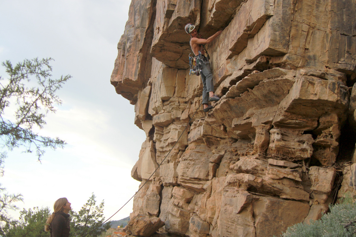
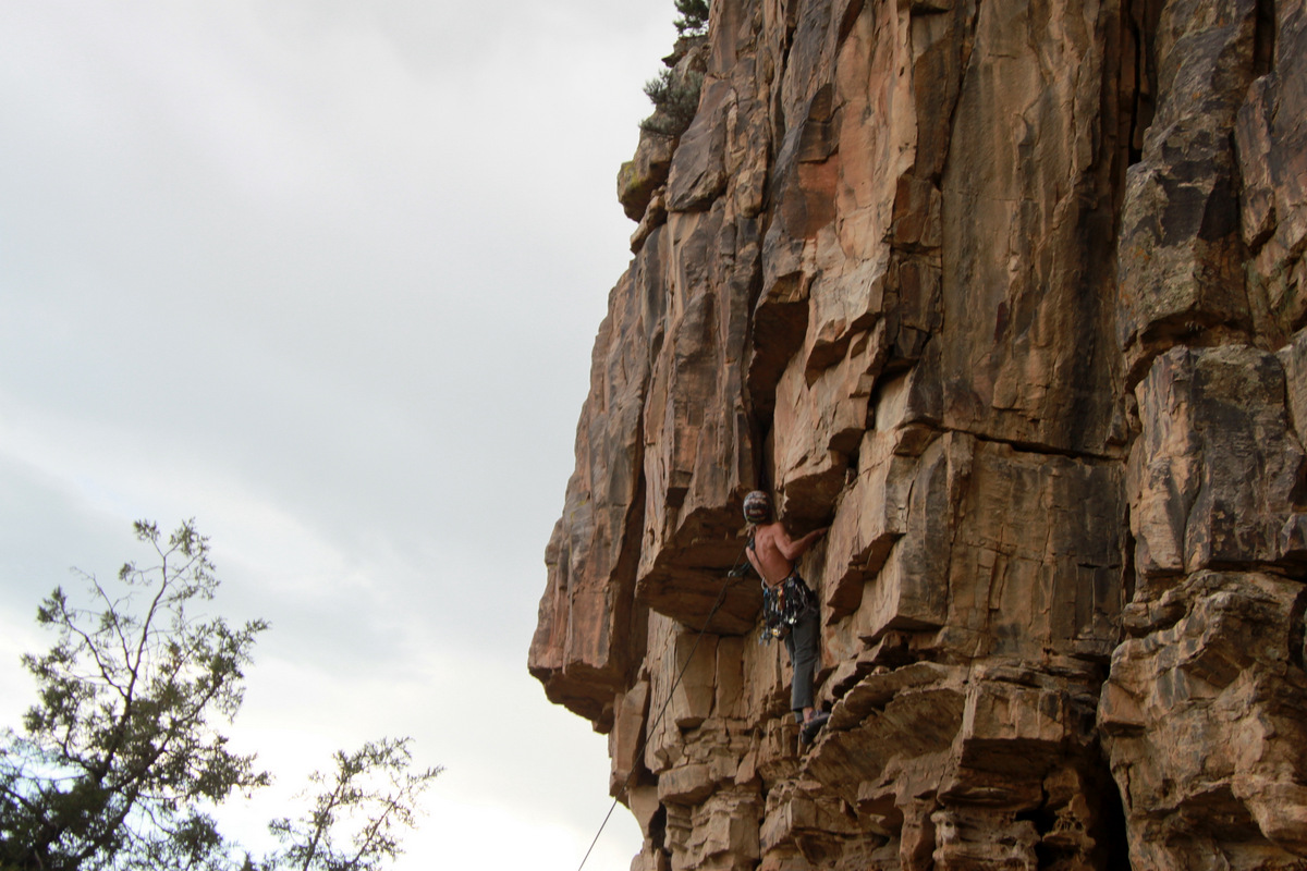
We then ascended steep terrain up to Scorpio, which is overhanging on all sides except the north ridge. We wrapped around to its north side and quickly suited up for J to lead the 40 ft to its summit. My forearm tendonitis is still in its prime, especially in my left arm, and I needed to lay off the harder climbing as much as possible. Well, then I probably shouldn’t be traversing Zodiac Ridge, but I can’t pass that up because my forearm tendons are inflammed, now can I? No way. Nevertheless, J placed a few pieces of gear and topped out on Scorpio’s airy summit. I think we’d both agree the pitch we did was 5.6/5.7 – we never put on our rock climbing shoes. Our trail shoes were sufficient. J brought me up and soon after found a sufficient rock horn for a rappel back down to our packs.

J approaching the overhanging Scorpio
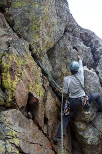
J beginning his trad lead on Scorpio’s north side

The crux up Scorpio was getting up on the bulge J is on in this picture
J climbing Scorpio
J on top of Scorpio
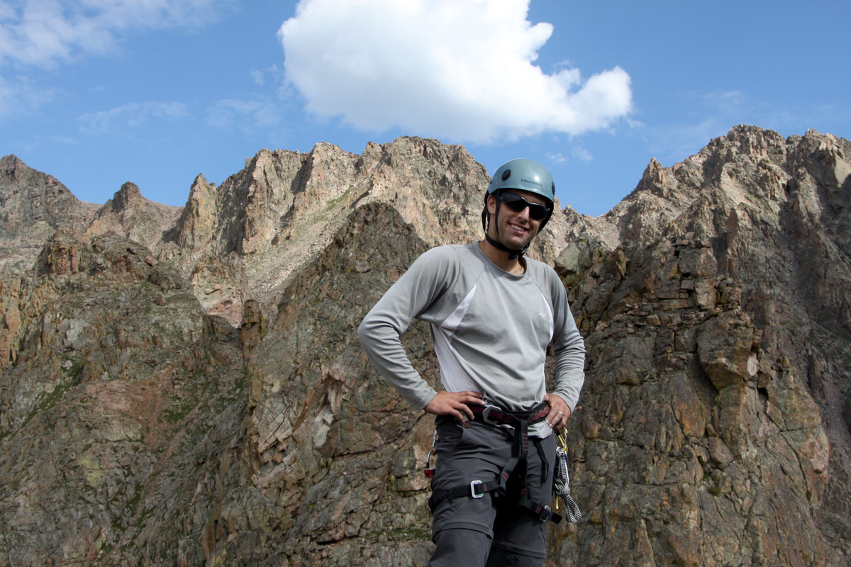
Self-portrait atop Scorpio
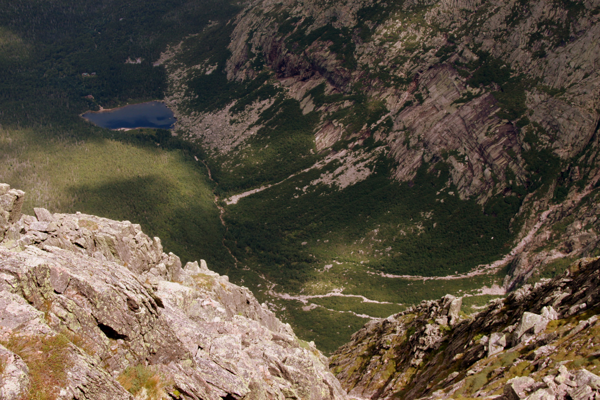
Zodiac View (12,505′) to the right with the Zodiac Ponds (11,500′) and our basecamp at lower left as seen from Scorpio’s summit

J rappelling back down off Scorpio
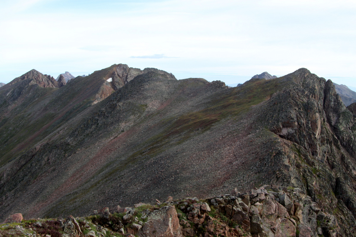
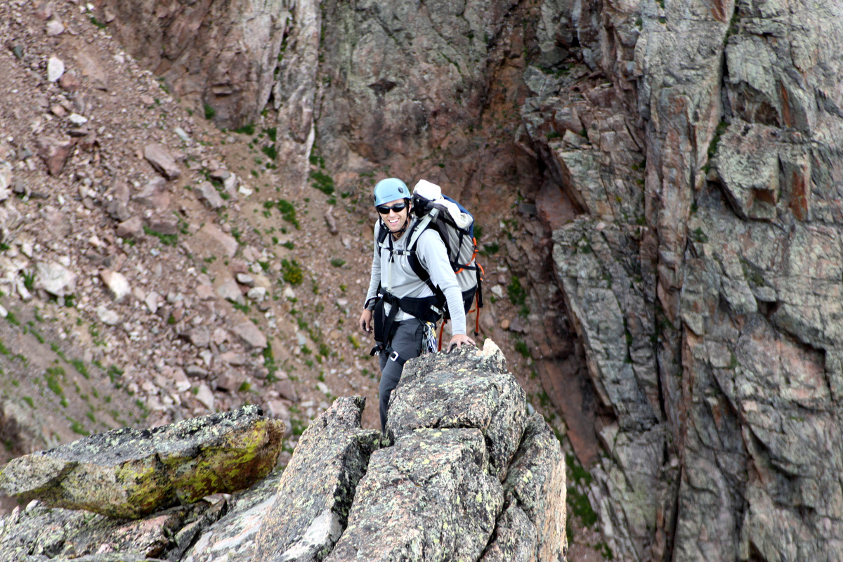
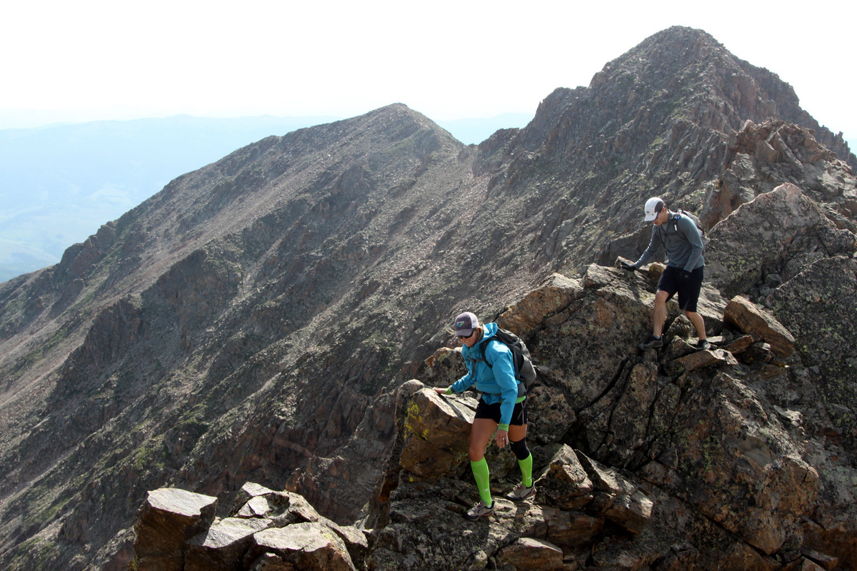
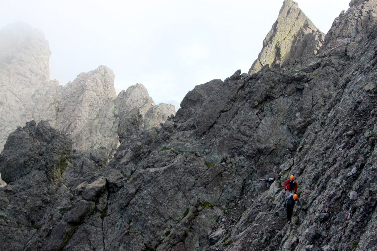
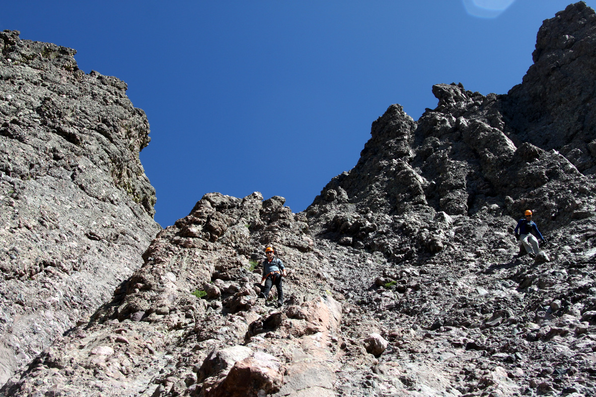
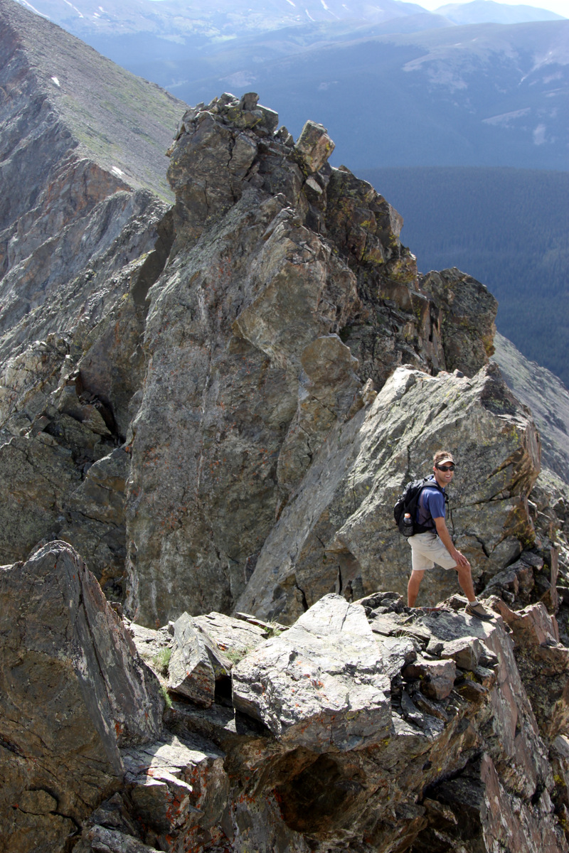
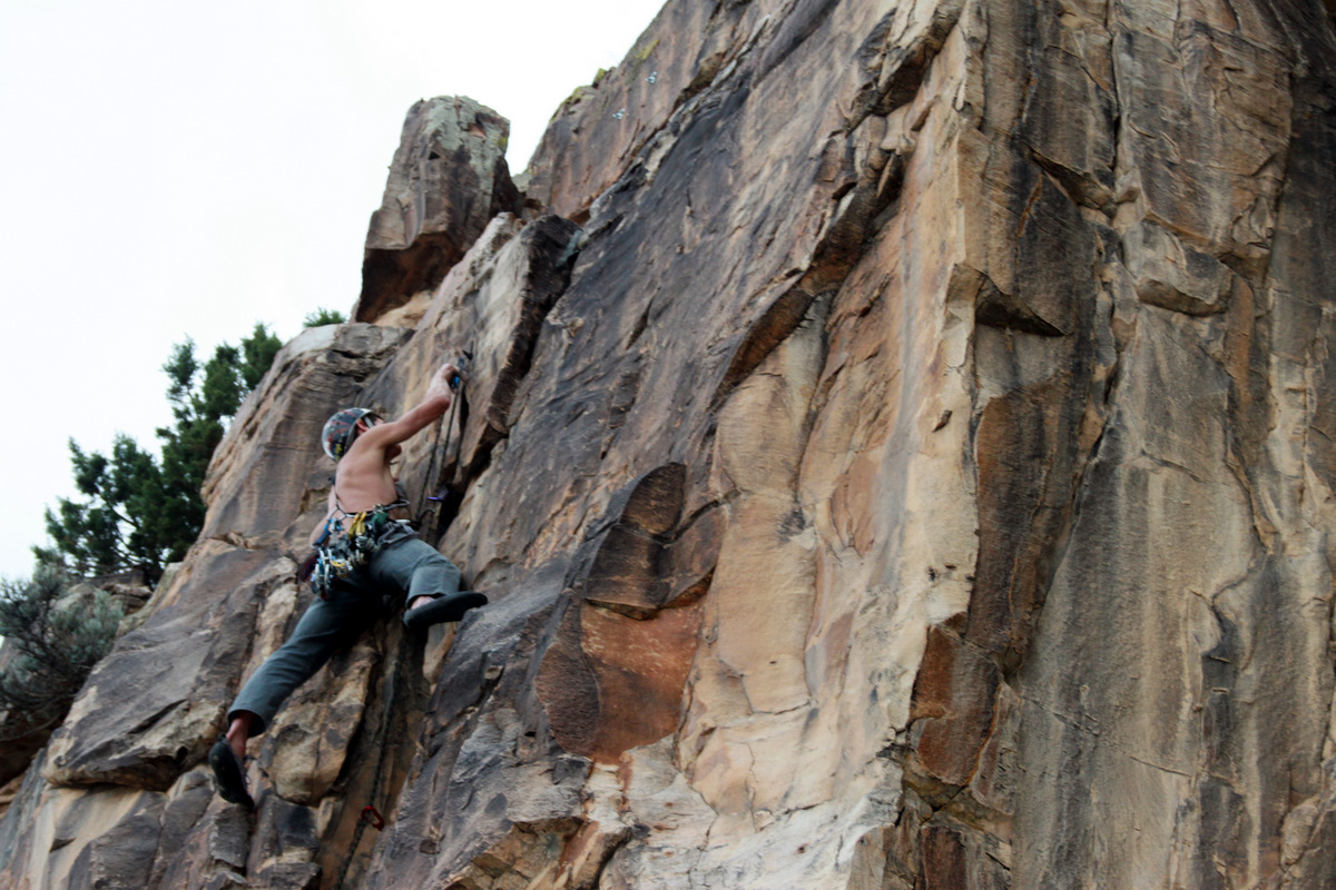
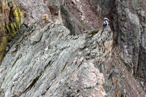
Next up was a lengthy class 3/4 scramble up very solid rock to the summit of Libra. This was some of my most enjoyable scrambling as well.

J scrambling up Libra’s south ridge

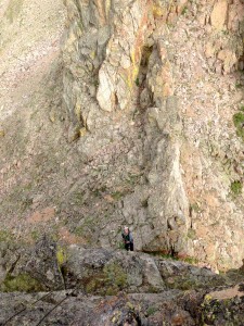
Looking back at Scorpio and our 5.7ish route up it
J climbing Libra’s great south ridge
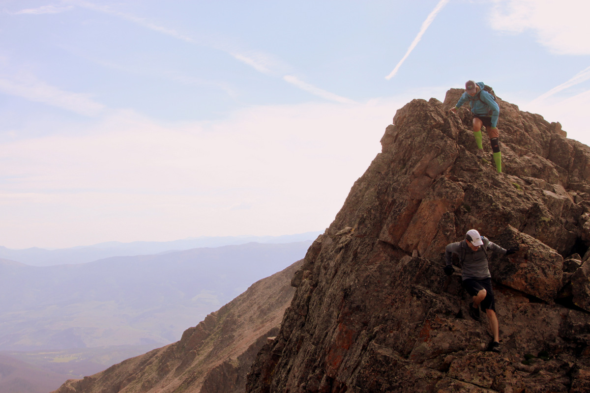
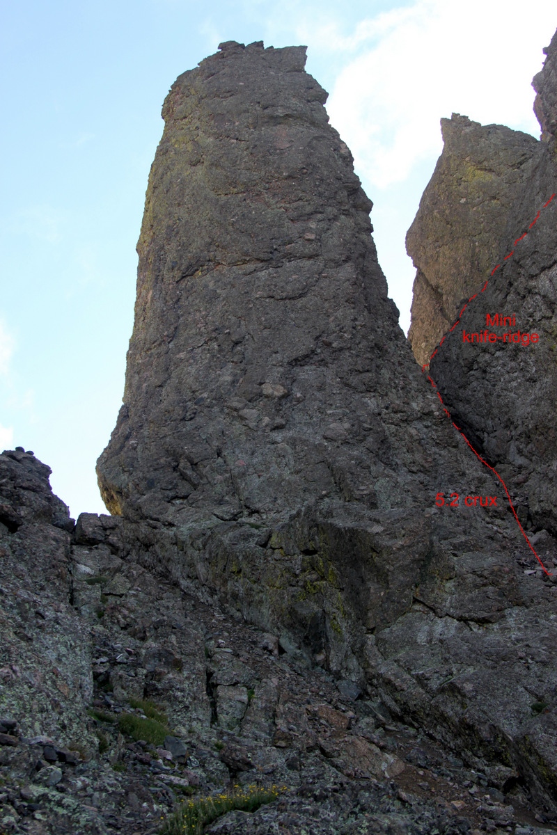
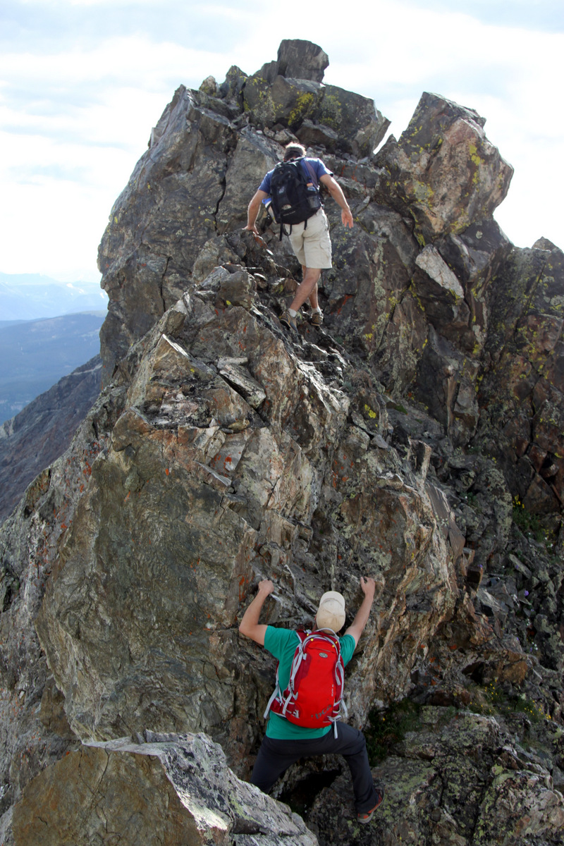
Per the beta we had read, there was a knife-edge traverse to the slopes of Sagittarius. I think J & I always enjoy a good knife-edge and this one didn’t disappoint. Very airy positions and great rock.

After topping out on Libra, we had this awesome knife-edge traverse over to Sagittarius
J working the ridge
J in an airy position on the knife-edge traverse
J having a ball on the Zodiac Ridge
Me skywalking on the knife-edge ridge between Libra & Sagittarius
Libra’s summit to the left with Red Peak dead center in the distance and Zodiac Ridge at right
J coming down off a really fun class 4 scramble up this spire between Libra & Sagittarius
We then managed the class 2 slog up to Sagittarius’ summit. By this point, we were starting to feel the wear and tear of the day. However, the weather was holding and we were feeling good.
The mellow class 2/3 slopes up to Sagittarius’ summit

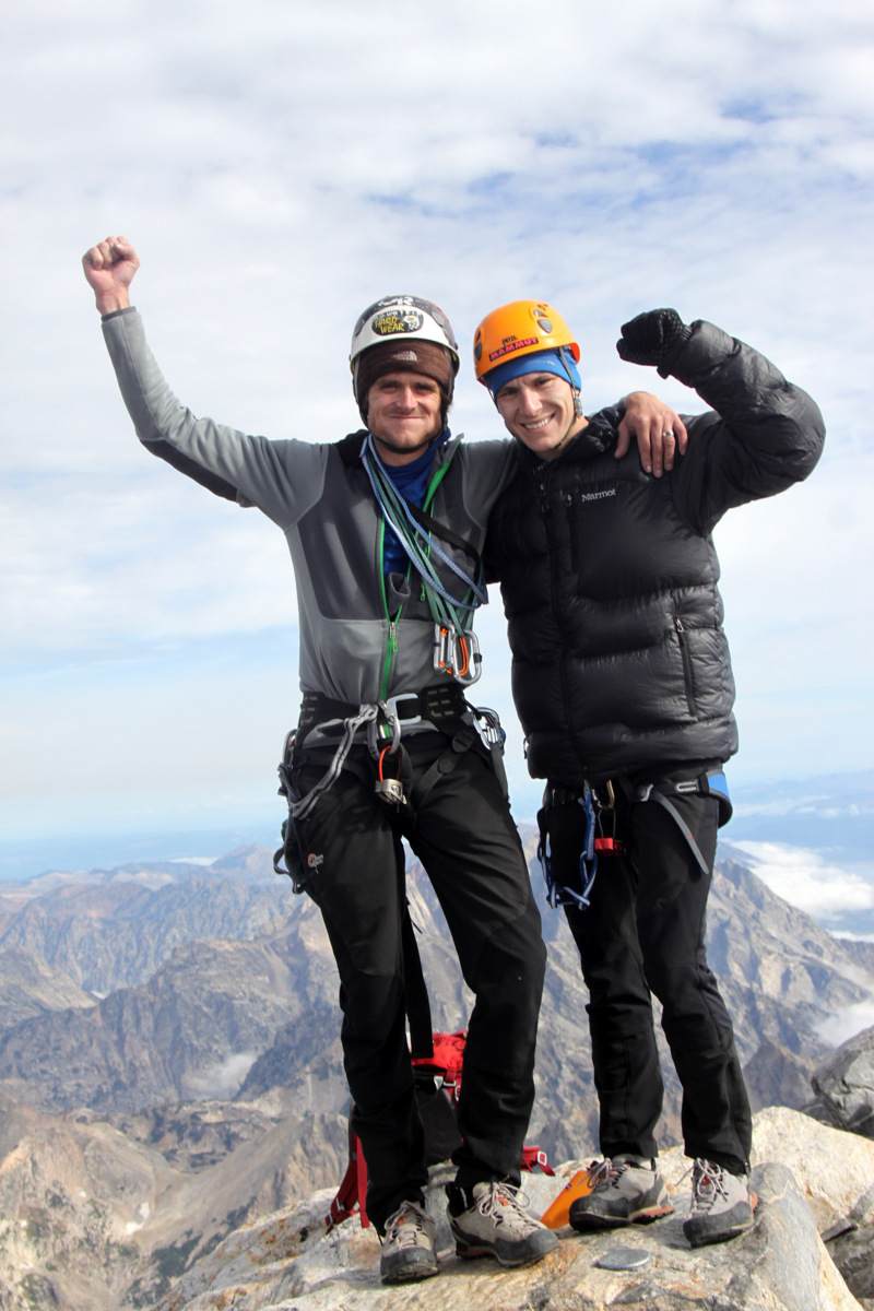
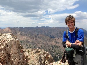
Self-portrait atop Sagittarius
We found two old pitons at the top of Sagittarius’ north facing gully, which we pulled on and realized they were very solid. I fed a sling through the pins and chicken-headed it while feeding the rope through the sling. We rappelled only about 40 ft down to safer terrain, coiled the rope, and stowed it away in the pack.
Two old pitons at the top of the north gully of Sagittarius, which we used as rappel anchors
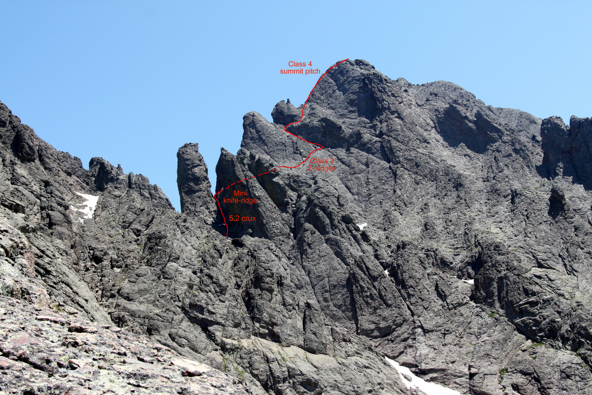
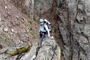
We were only one Spire away from having climbed them all and we knew Aries was probably the easiest. However, it wasn’t a let down at all. It was a fun class 3 scramble up its south side to a great summit with wonderful view of all the Spires to the south. We were both excited to be here and were somewhat amazed that the weather held and looked like we’d make it all the way to Mt. Silverthorne.

The mellow class 3 slopes up the final Zodiac Spire, Aries

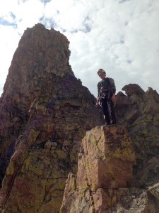
Me excited to be on top of Aries, our final Zodiac Spire

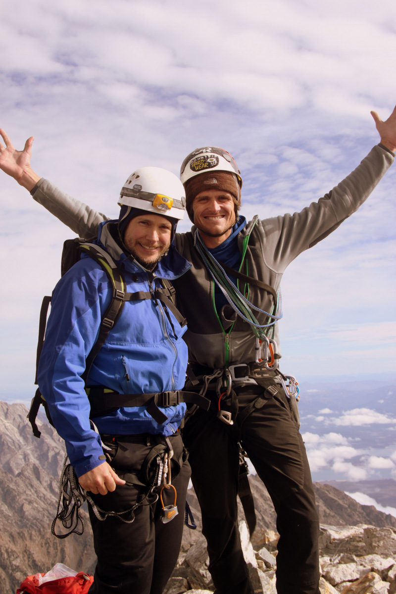
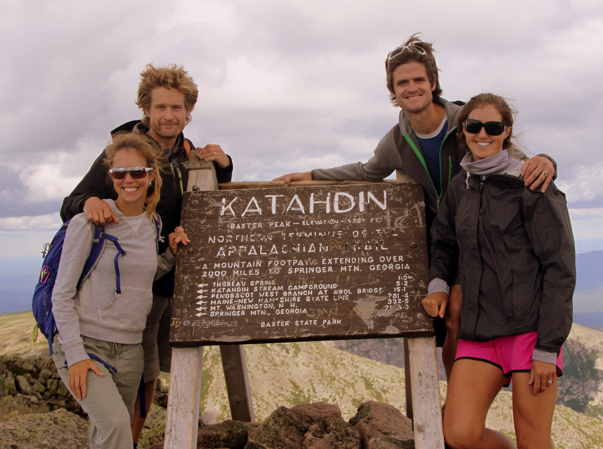
J & I on top of Aries
Parting shot off the summit of Aries looking south down Zodiac Ridge to Red Peak
The downclimb off Aries’ north ridge had some interesting moves
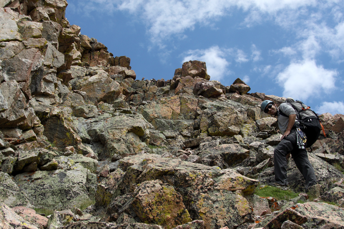
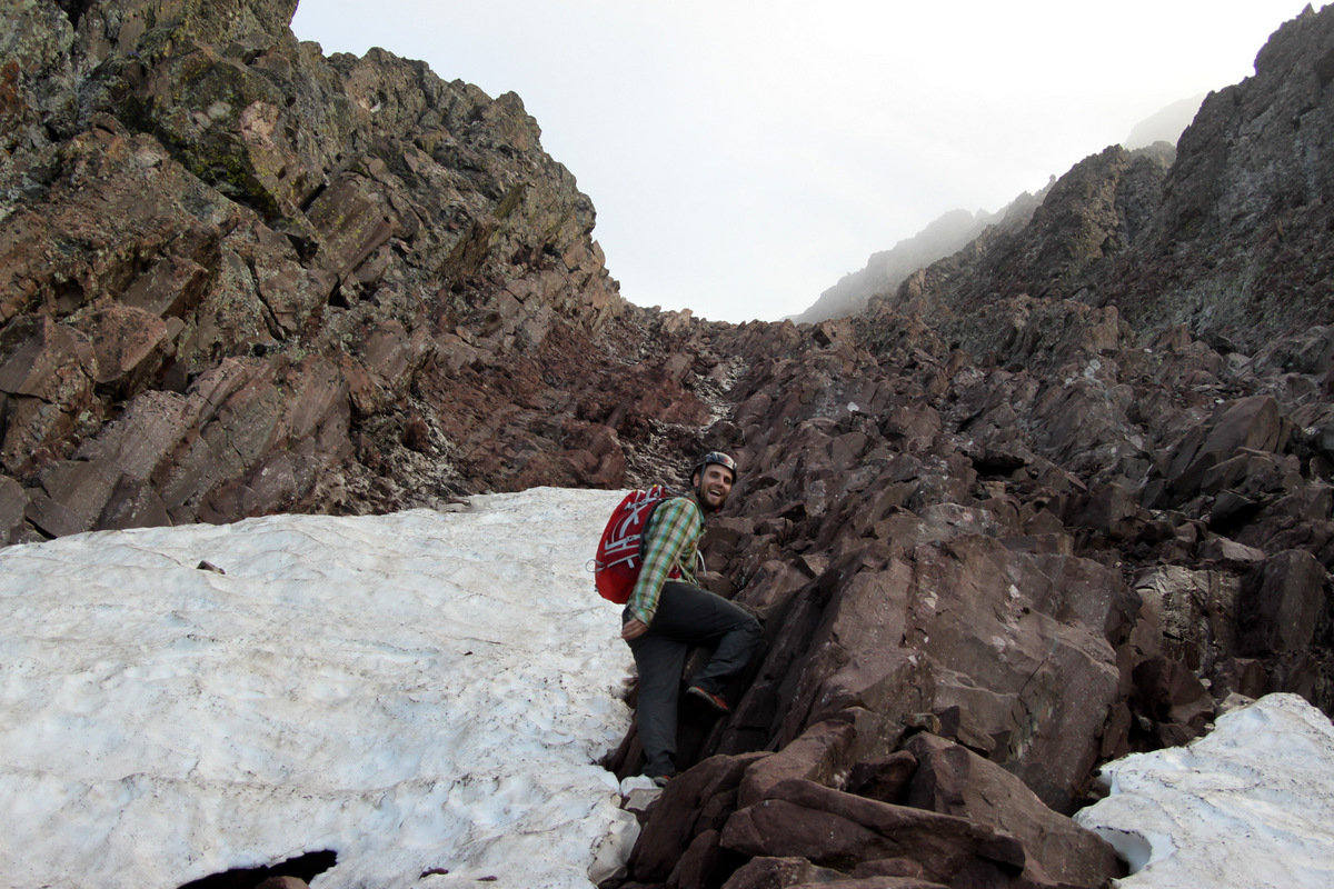
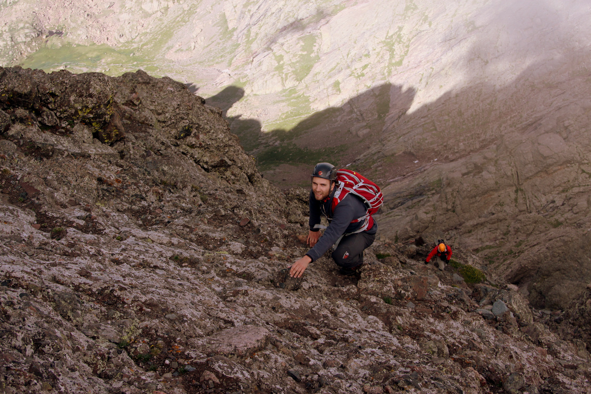
We down climbed the exciting north ridge of Aries and made the slog up steep grass and talus to a weakness in the Mt. Silverthorne massif’s south face – a small gully with large solid boulders. This is when your second wind needs to kick in for sure. The gully was pretty fun class 3 climbing with a class 4 move here and there, though none of it very exposed.
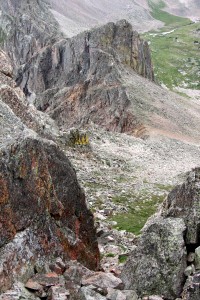
Looking back down our class 3/4 gully to access the Mt. Silverthorne plateau. Aries & Sagittarius can be seen below
It was great to get to the Silverthorne plateau. We decided to drop our packs and quickly traverse over to East Thorn, a prominent 13er above the town of Silverthorne with steep faces on all sides. The class 3 scramble up to East Thorn’s summit was very fun, though taxing on us. It would be fun to climb East Thorn by another, steeper ridge route someday.
We decided to continue the scrambling up the west ridge of East Thorn (13,333′)
J making some fun moves to the summit of East Thorn

J on the summit of East Thorn (13,333′) with Mt. Silverthorne behind
Me on the summit of East Thorn
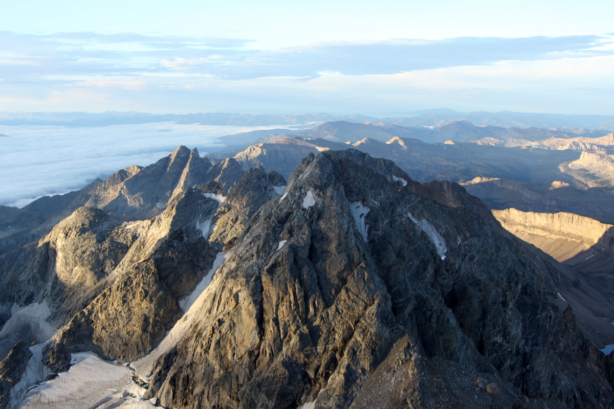
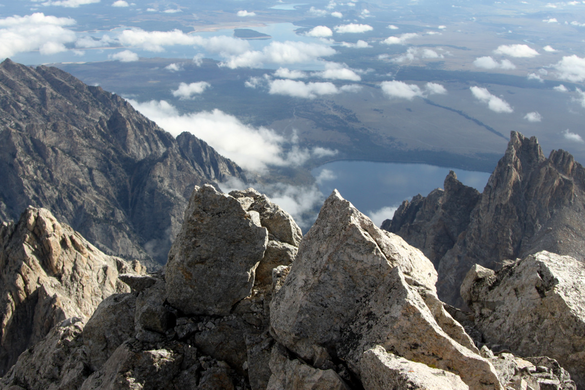
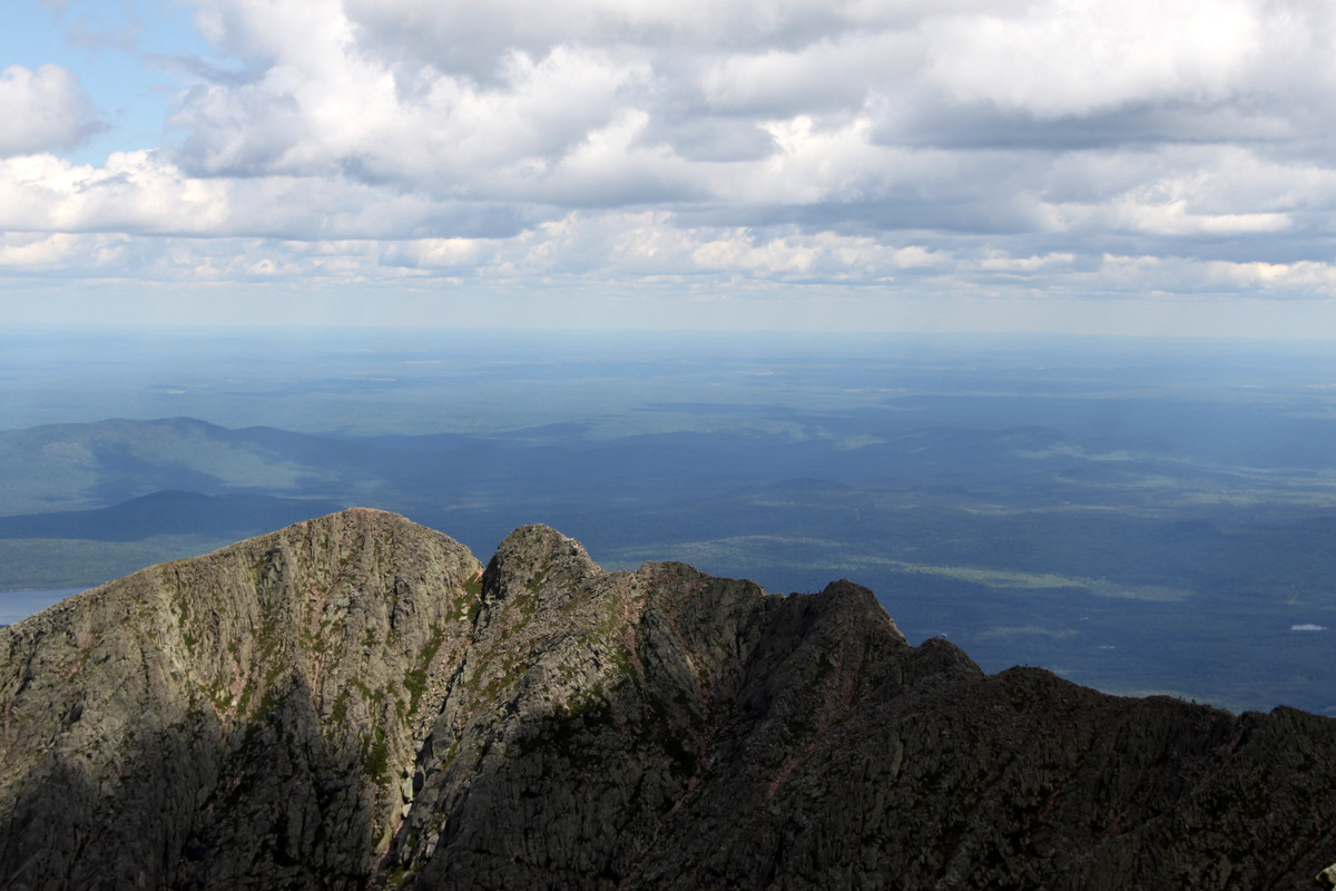
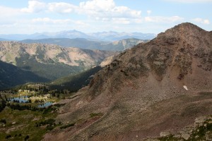
The east side of Zodiac Ridge as seen from the summit of East Thorn
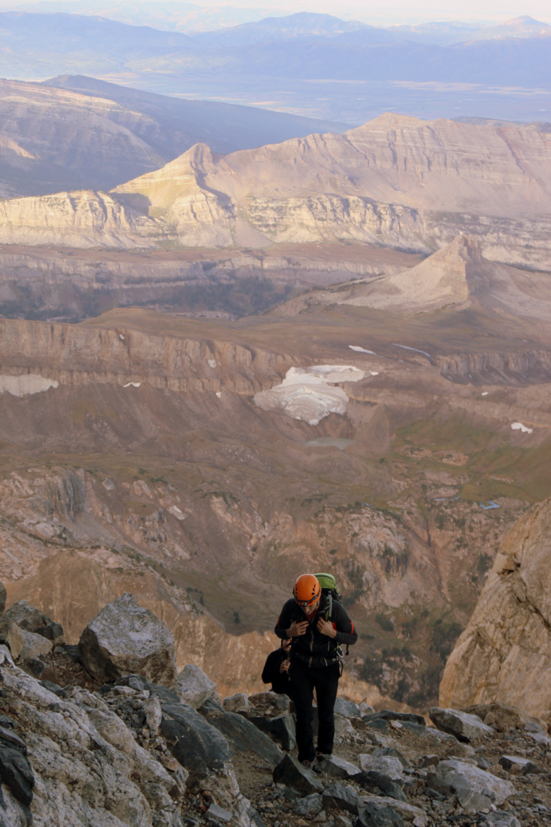
A snicker’s bar and gatorade provided some key energy to get us back to our packs. We picked up our packs and made our way up to the mighty Mt. Silverthorne’s summit and had lunch at the lower southern point. It was now about 1:30pm and it was time to eat. We were starving.
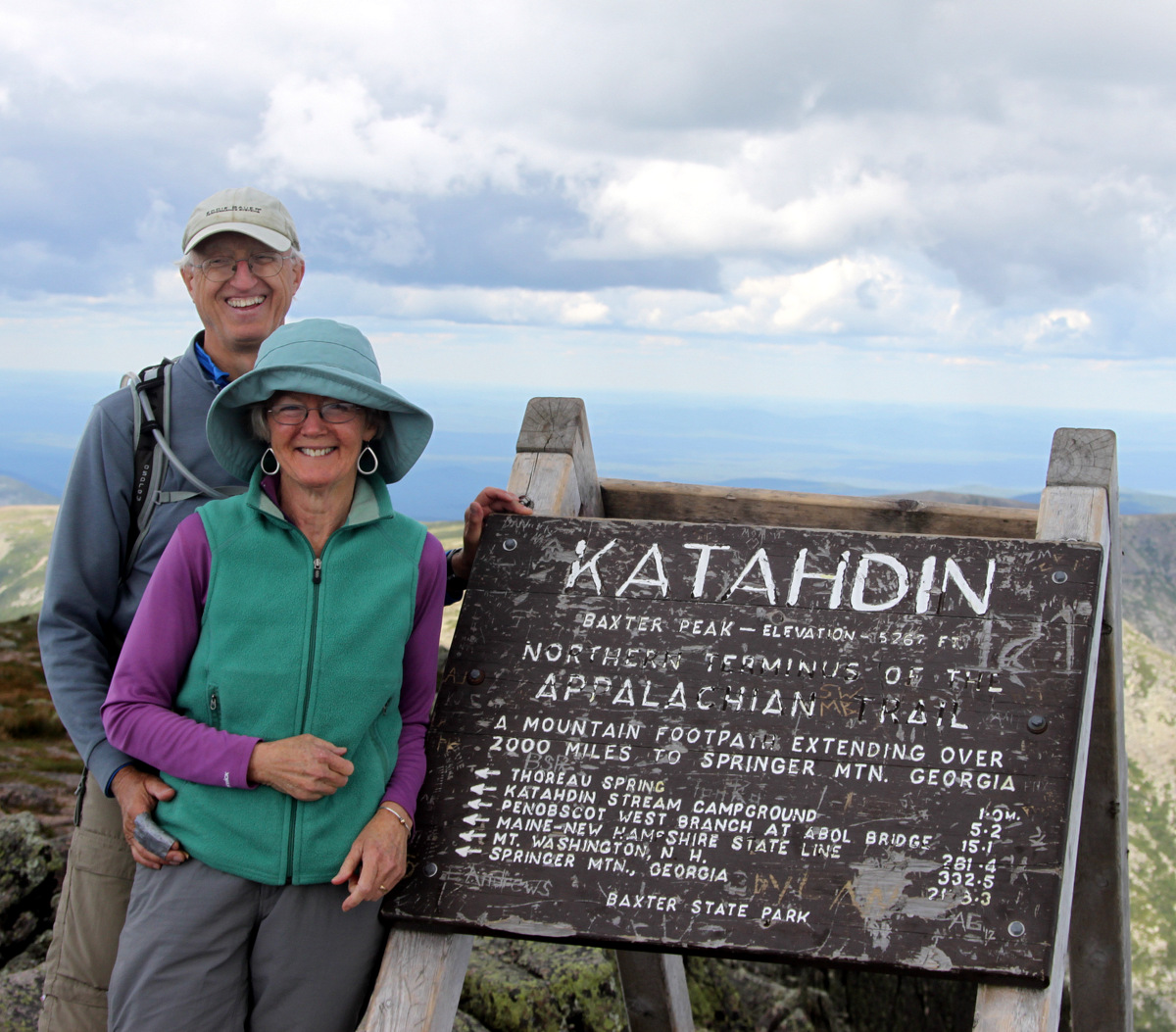
Self-portrait on the summit of Mt. Silverthorne (13,357′)
East Thorn from the summit of Mt. Silverthorne
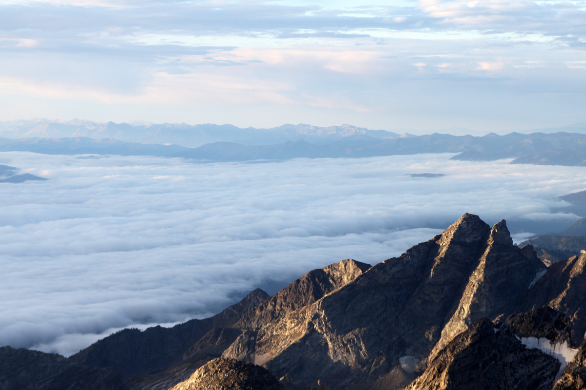
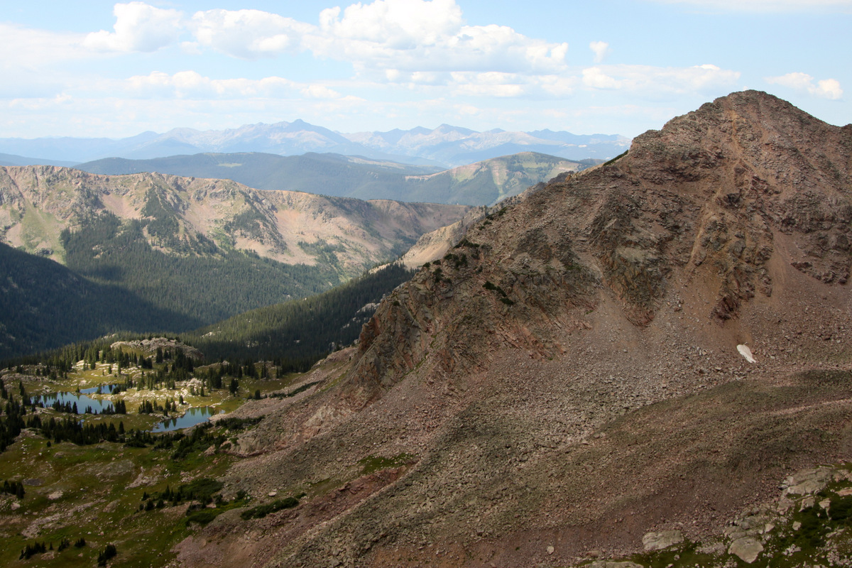
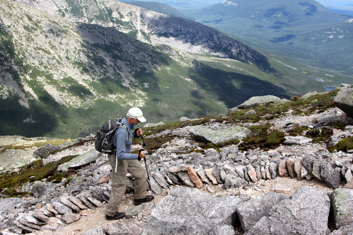
After some good bread, cheese, and tuna, we headed down Mt. Silverthorne’s class 3 west ridge to the southern ridge leading to the unranked 12er, Zodiac View. I honestly couldn’t believe the weather was holding for us as this is typically the monsoonal period. It felt more like a late fall day with the weather patterns. We decided to leave Zodiac View’s summit for the next day when all the ladies and pups could join us. The views of Zodiac Ridge were absolutely amazing from this ridge and the entire way down into the basin leading back to the Zodiac Ponds and our camp.
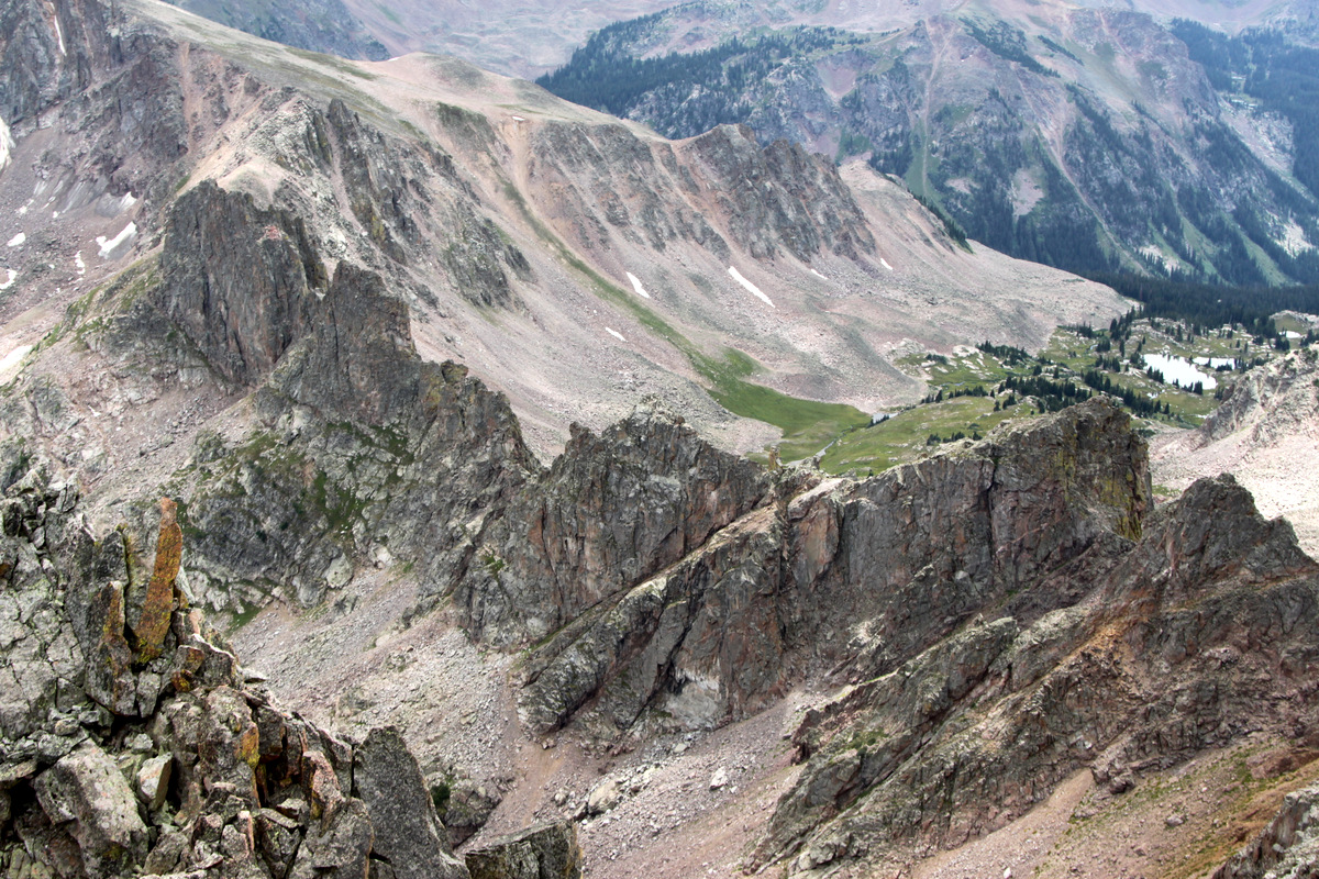
Zodiac Ridge on our descent down Mt. Silverthorne’s class 3 west ridge

J and I on the descent
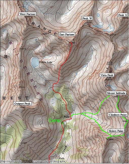
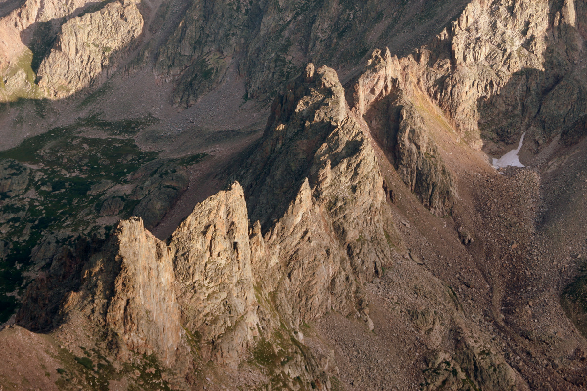
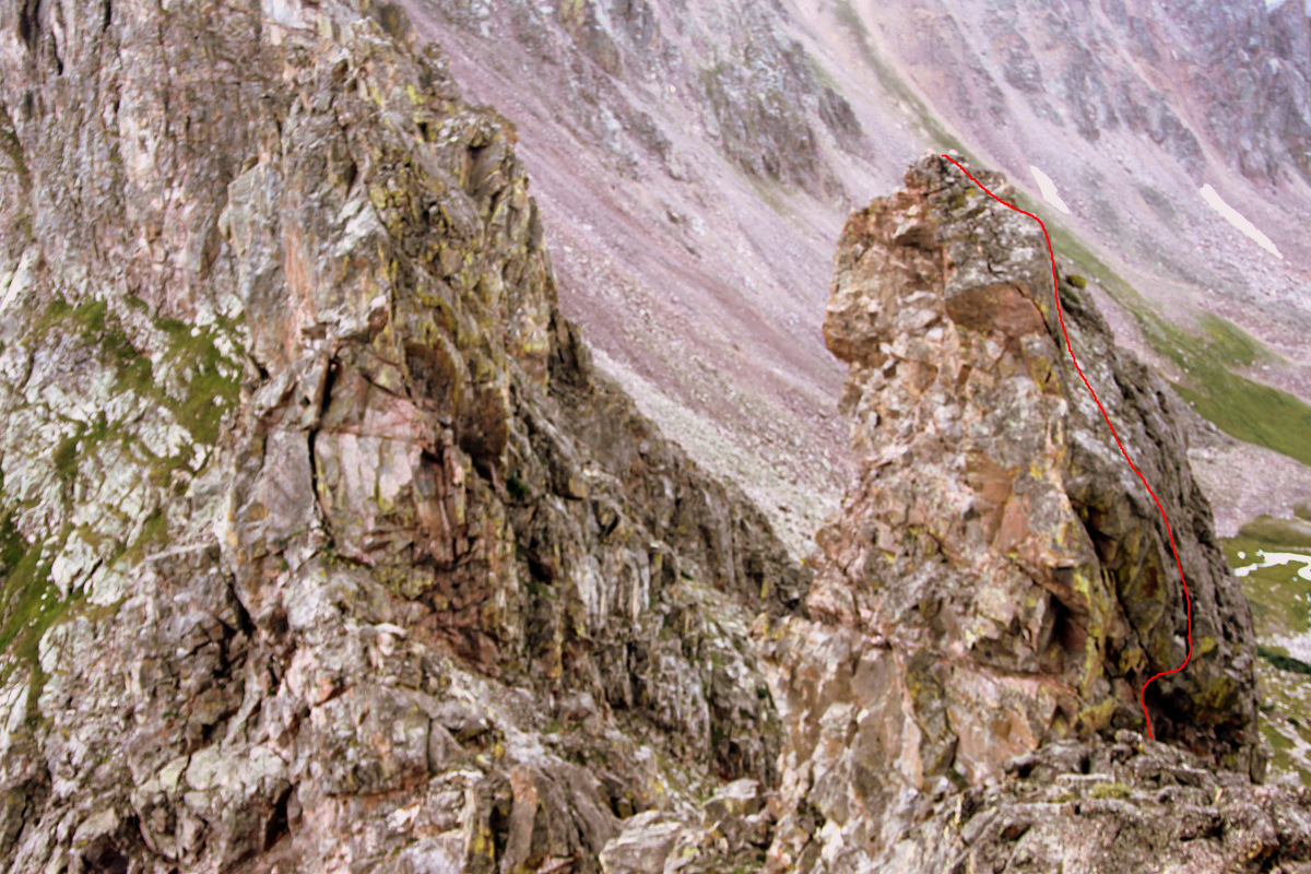
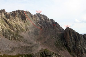
Zoomed-in shot of Capricorn’s north ridge, which we descended in two rappels as shown in green and red
Zoomed-in shot of the Gemini Twins

Zoomed-in shot of Taurus. We climbed the class 4 right skyline with knife-edge ridge traverse to the summit and rappelled off the left (north) side
Right to left: Scorpio, Libra, Sagittarius
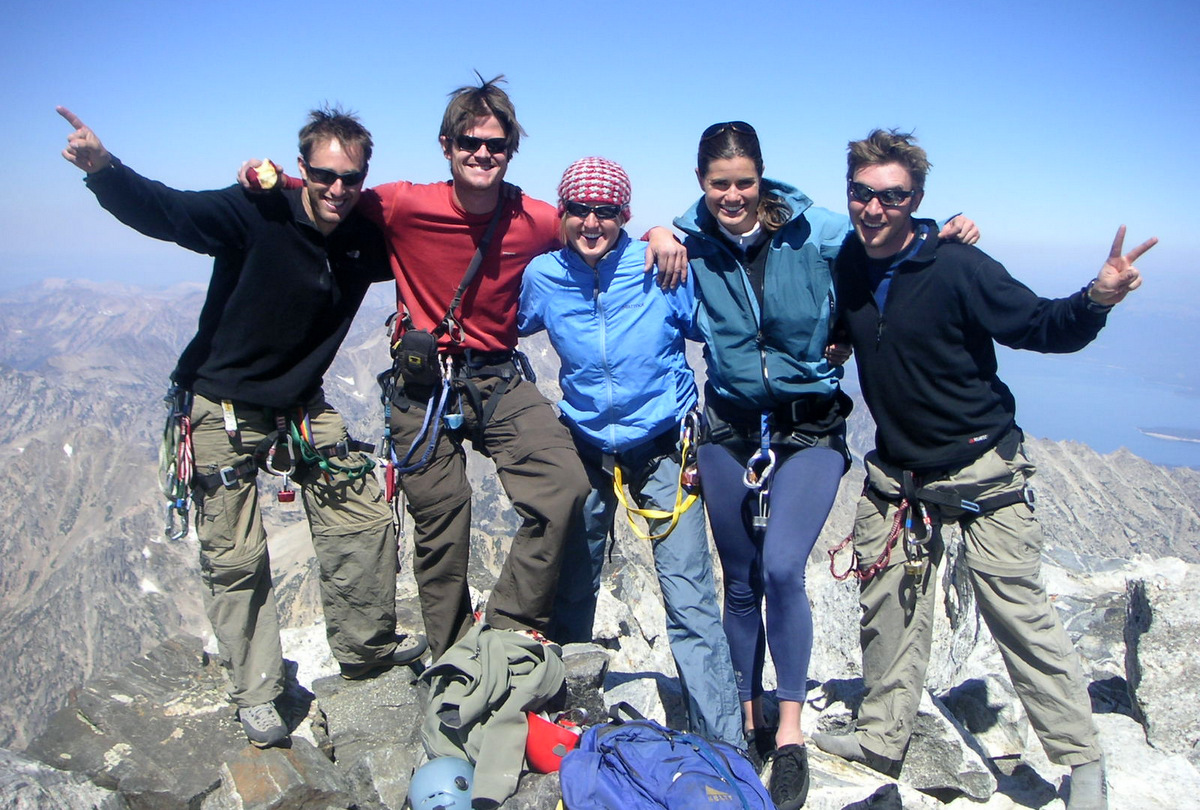
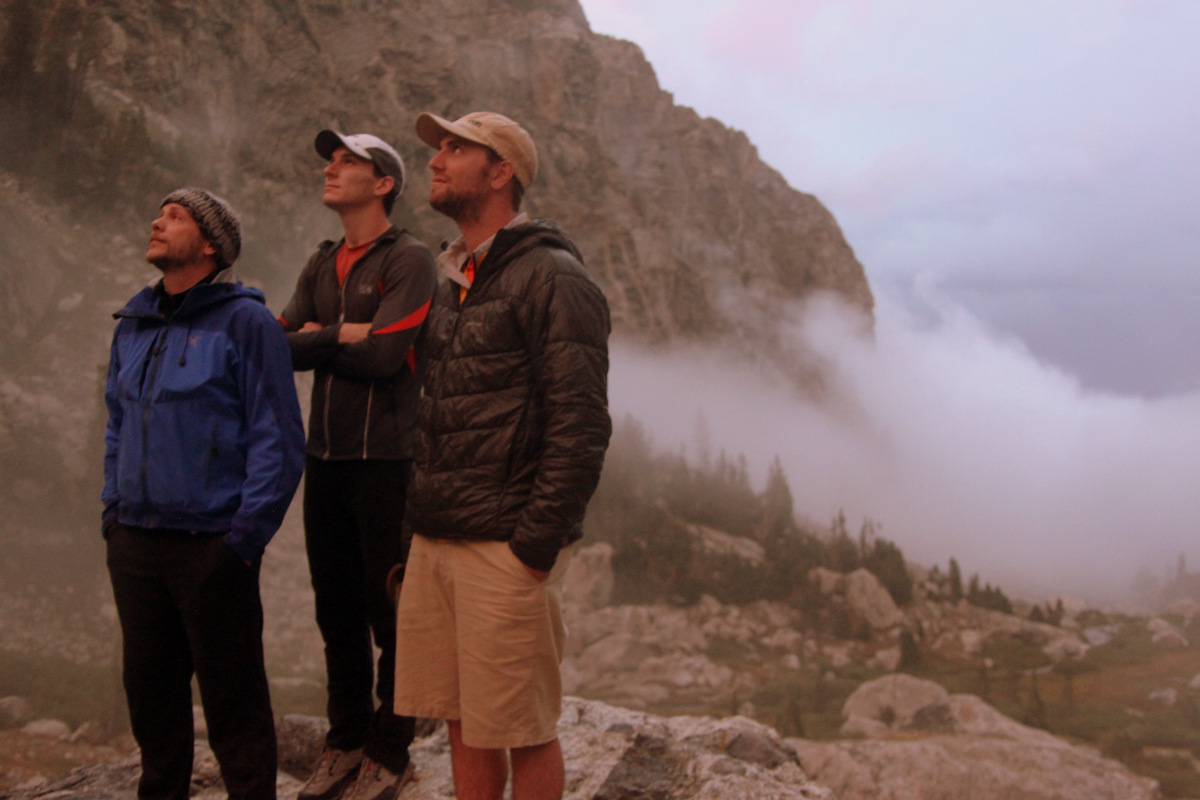
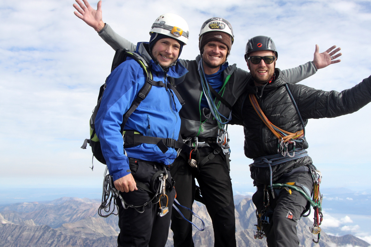
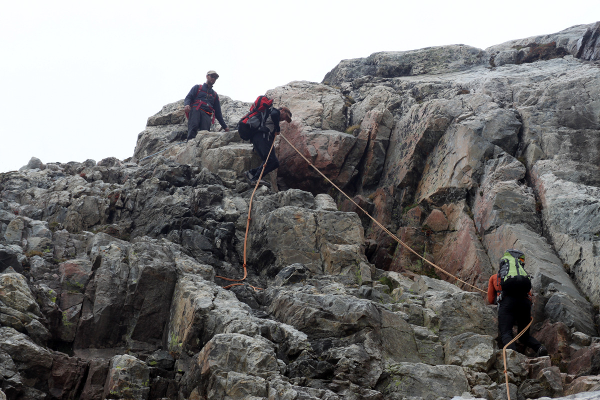
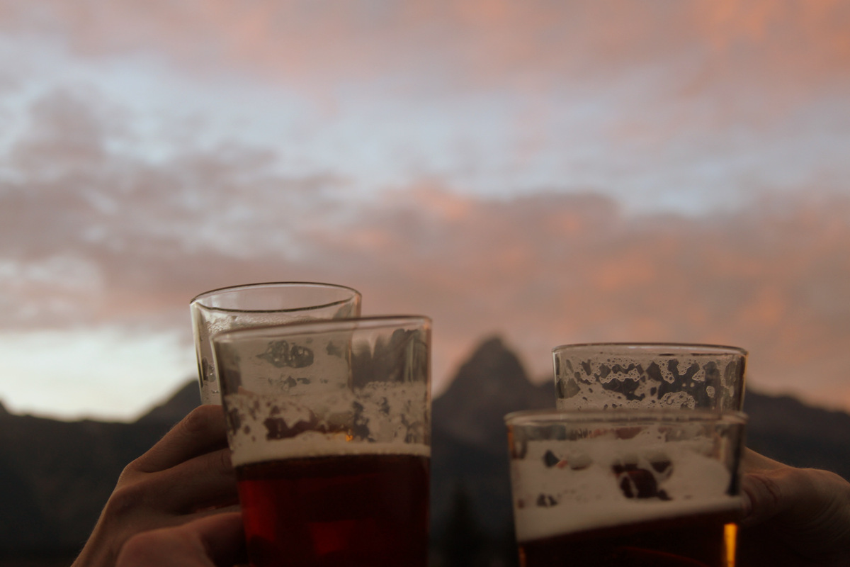
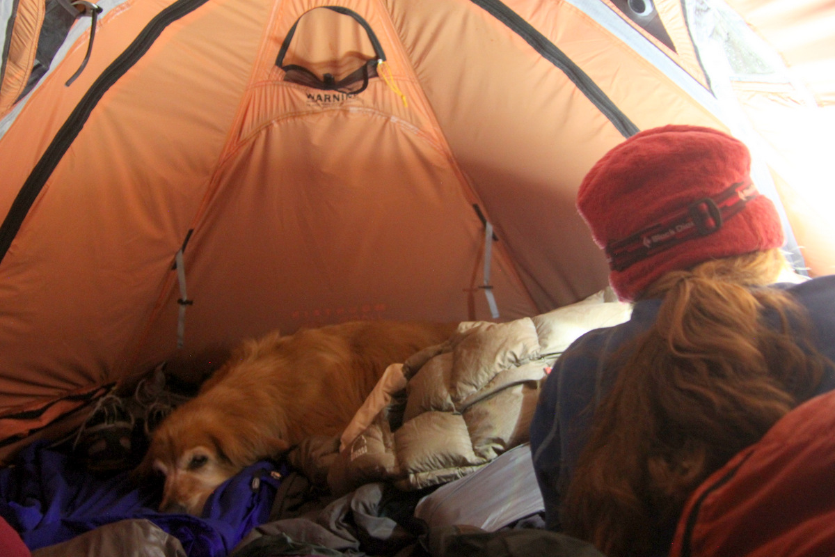
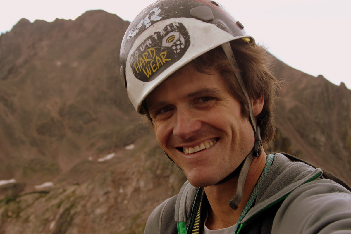
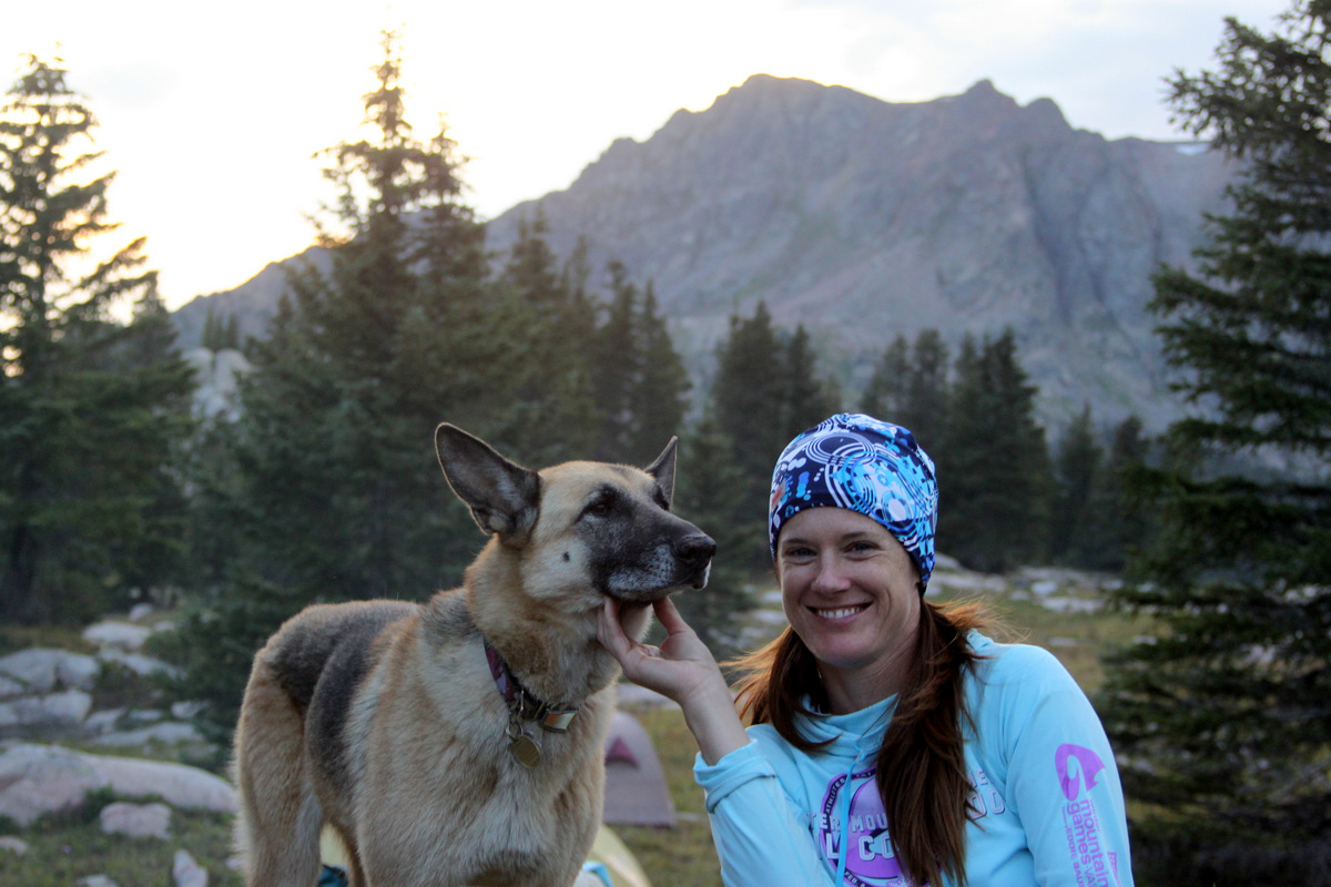
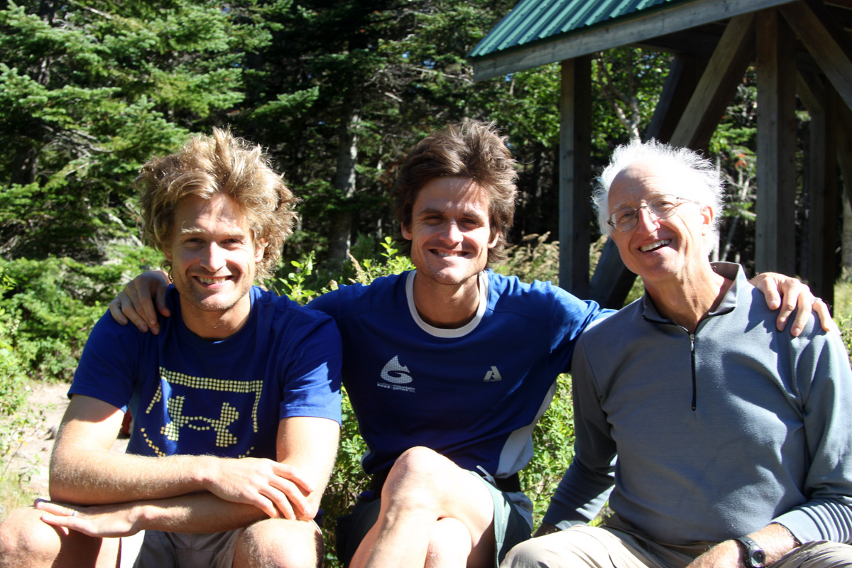
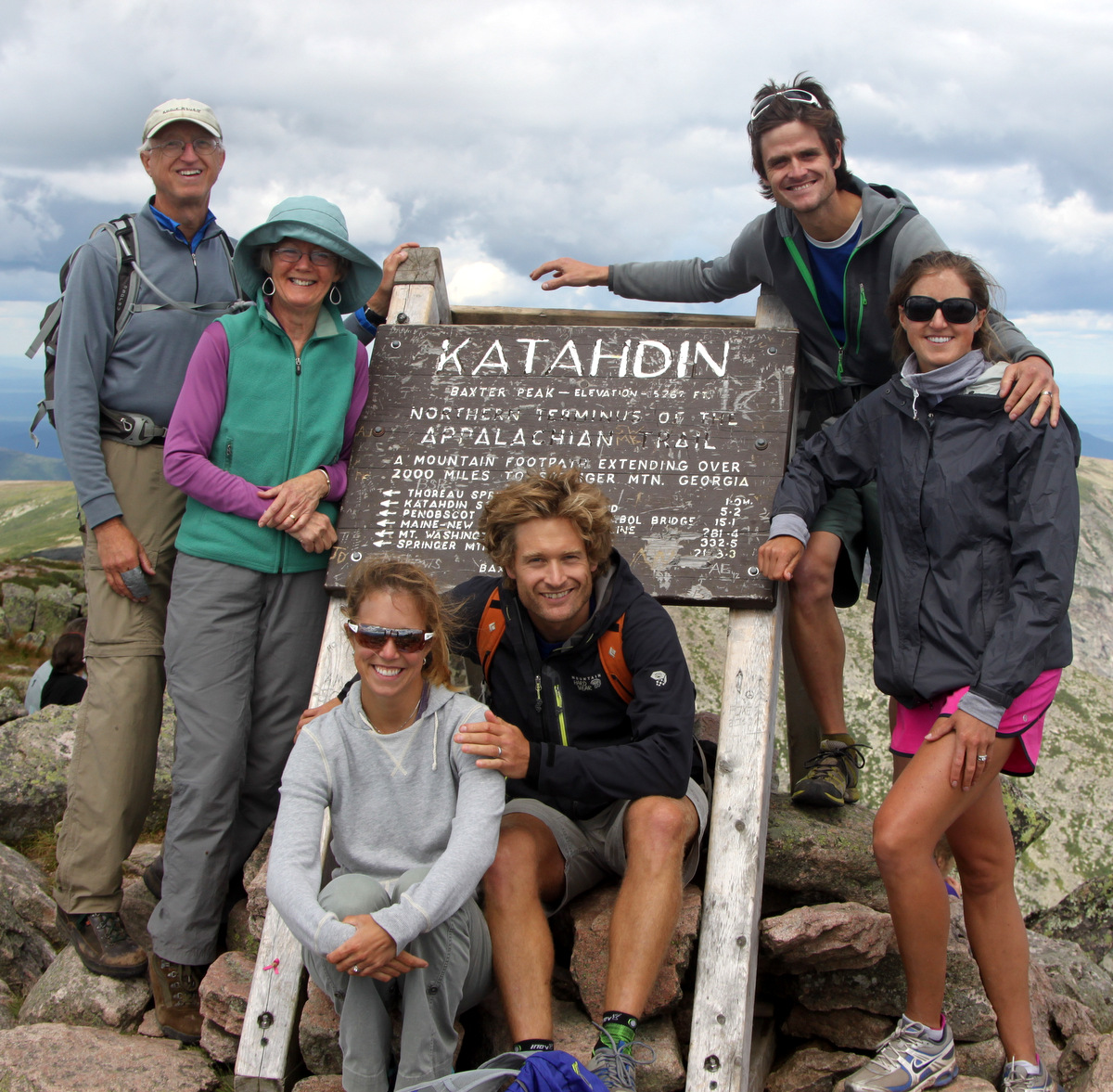
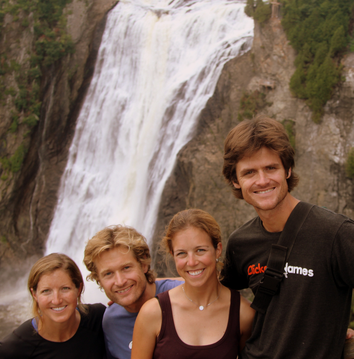
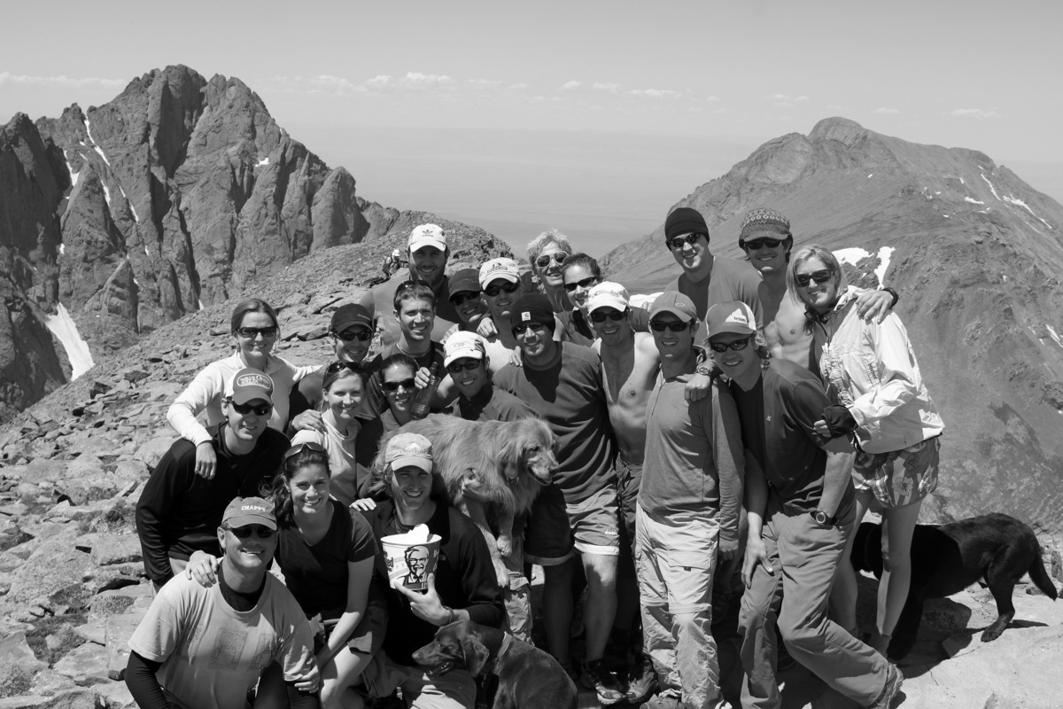
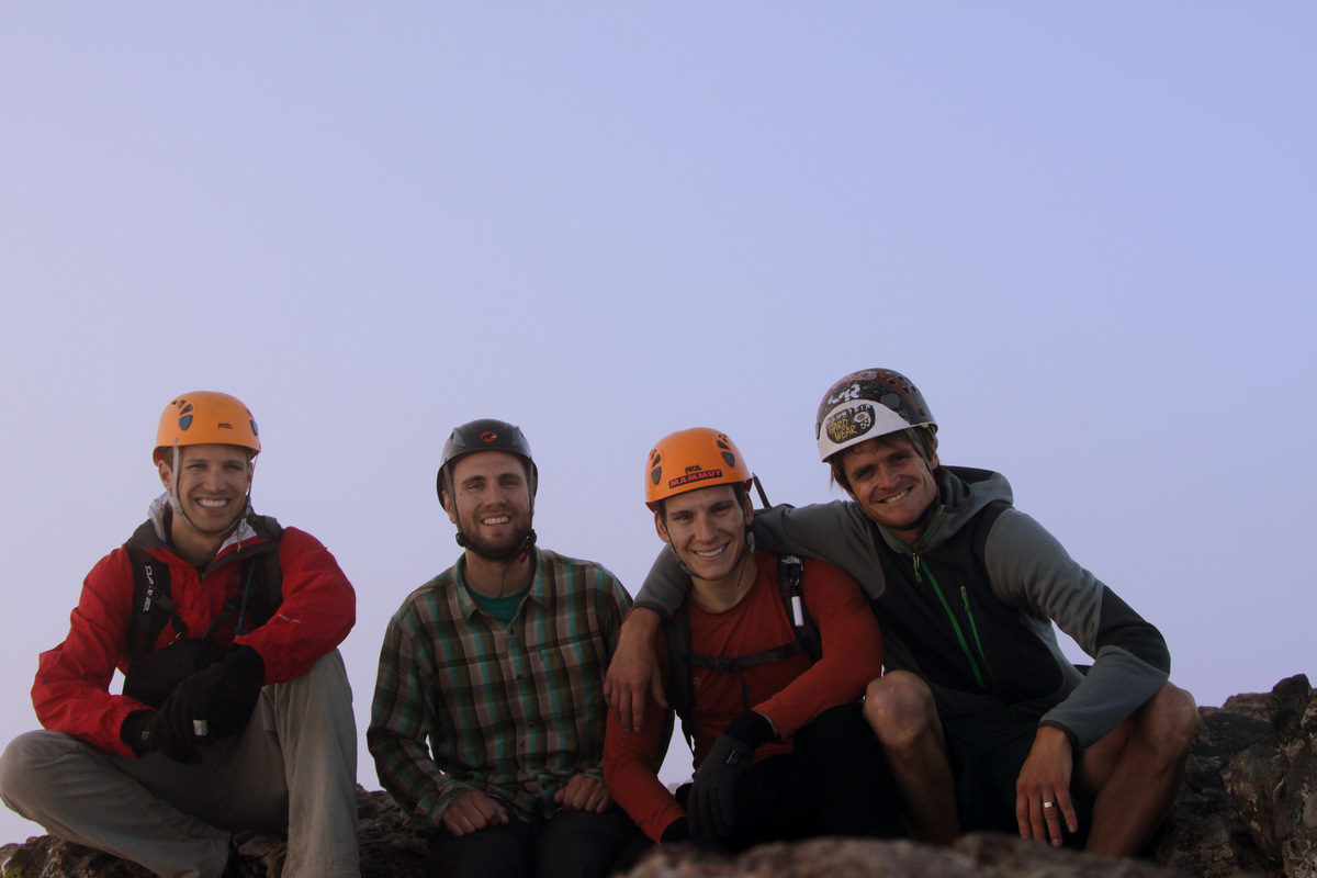
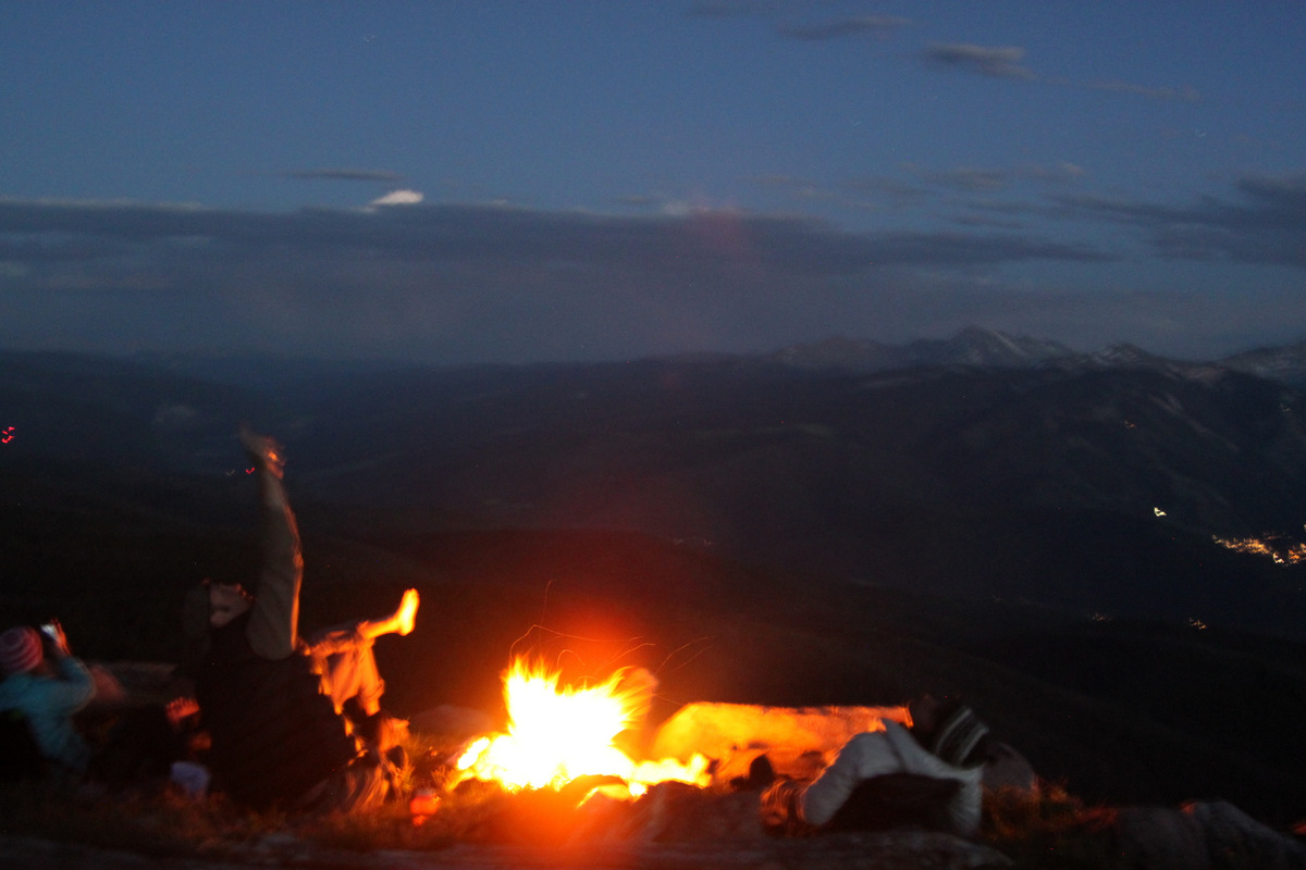
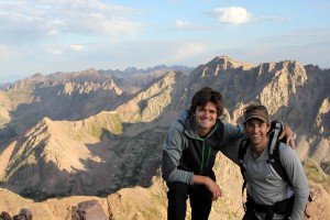
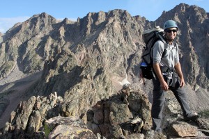
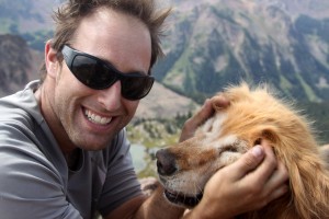
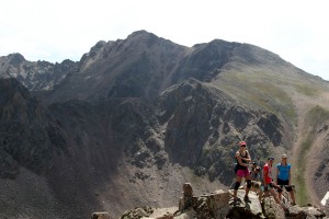
Keith had a great fire waiting for us when we rolled into camp around 3pm (9 hours after we began). Our good friends Joel Gratz, Alec Hall, and Andrew Annunzio were there as well and all greeted us and congratulated us on a successful day up on the Zodiac Ridge and accompanying 13ers. Joel, Alec, and Andrew had dayhiked in to our camp and had arrived a few hours earlier. Joel and Andrew had even hiked up to the Zodiac View-Mt. Silverthorne saddle. It was great to see these guys. We all sat around on a rock outcrop trading stories and laughing. We were all eagerly awaiting the arrival of Kristine, Rainier, Kona, Sarah, and our friend Lauren McKeone and her dog, Scout. Joel, Alec, and Andrew left around 5pm and ran into the girls and dogs on their way out. It was so awesome to have all the ladies up at camp for Saturday night, especially Kristine, Rainier, & Kona of course. We built up a great campfire, heated up burritos, made freeze-dried food meals (which were actually good), and enjoyed some vino and a little help from Jack Daniels (courtesy of J). It was a nice evening.

Lauren & Scout at basecamp
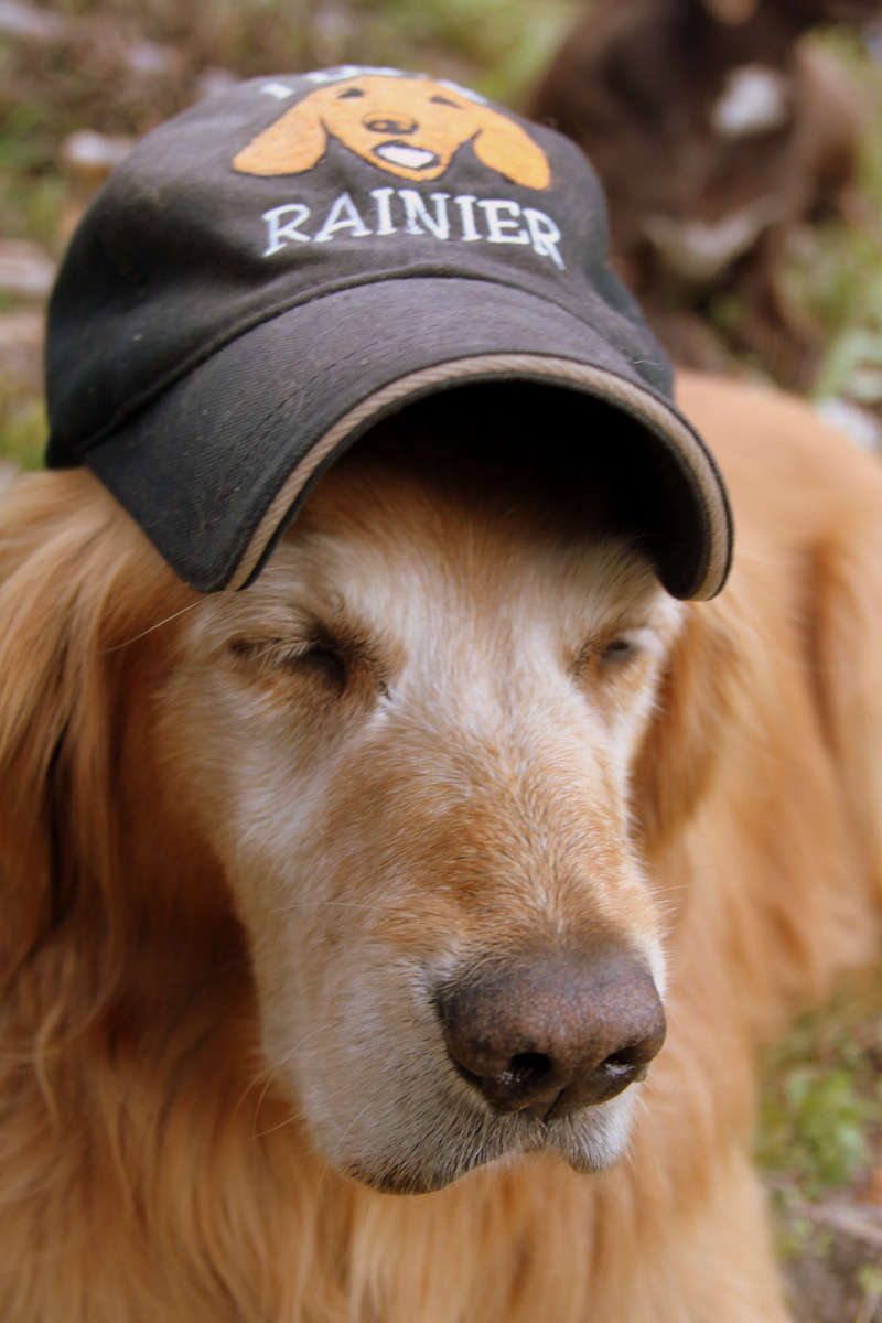
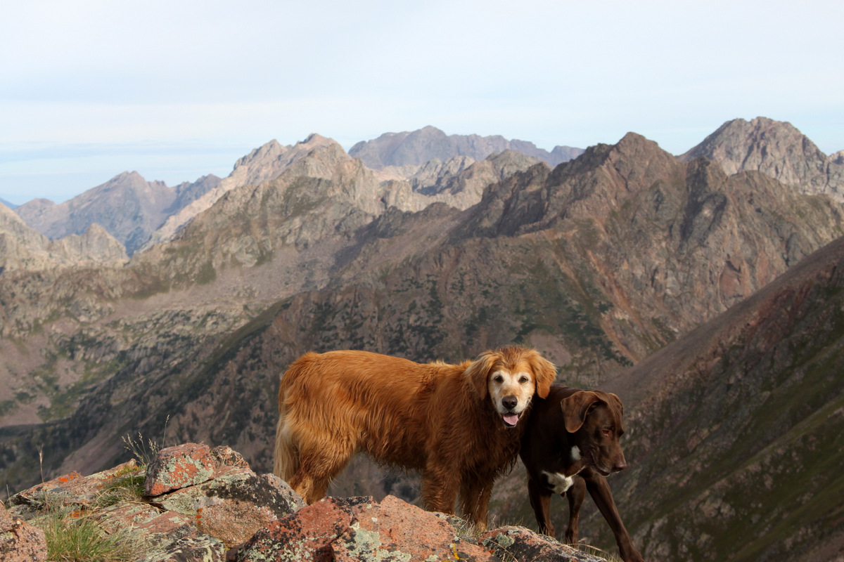
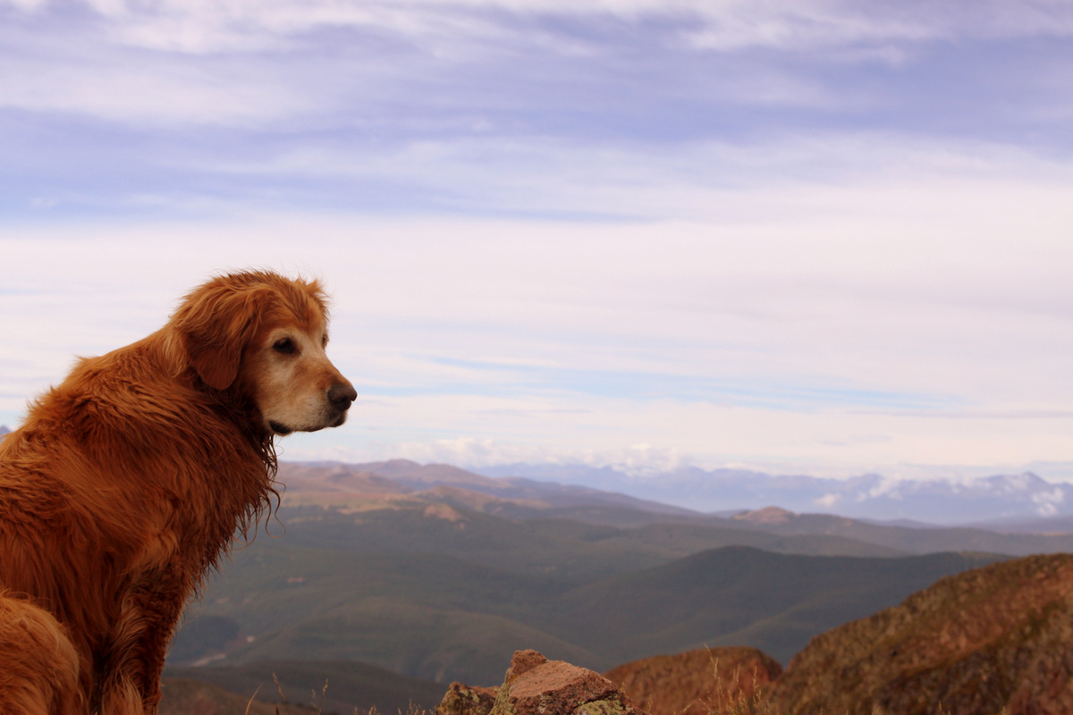
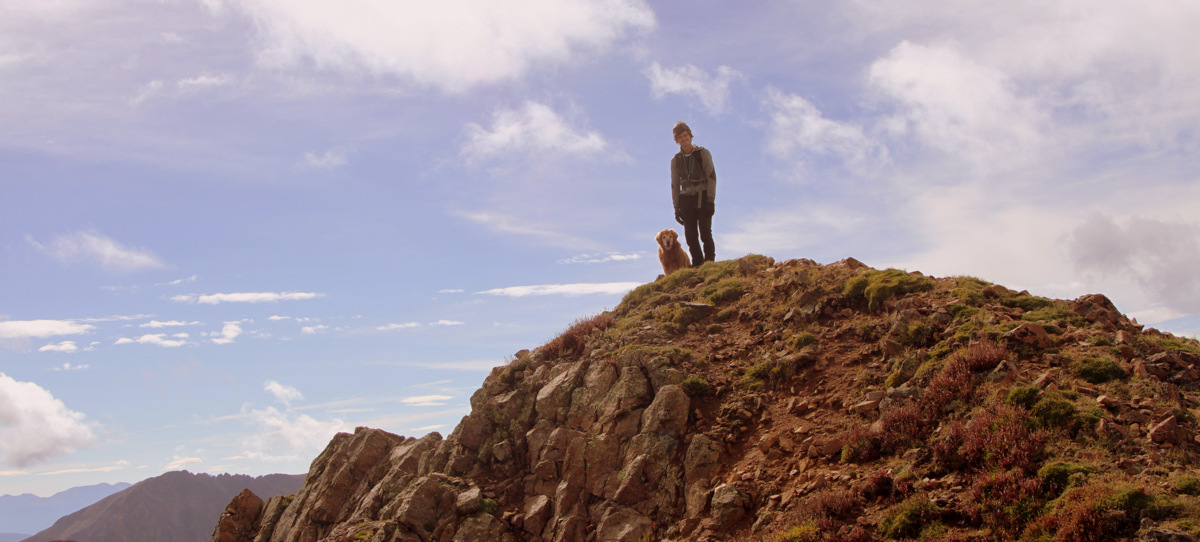
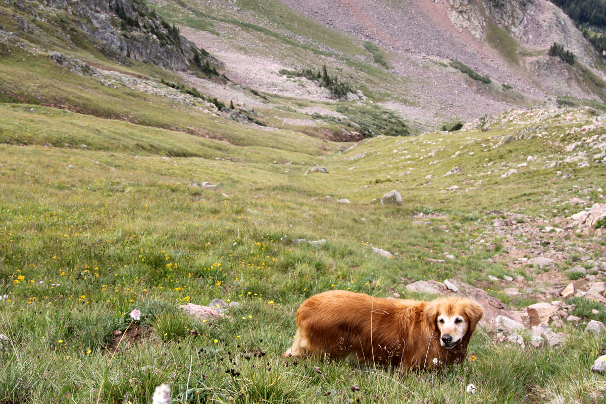
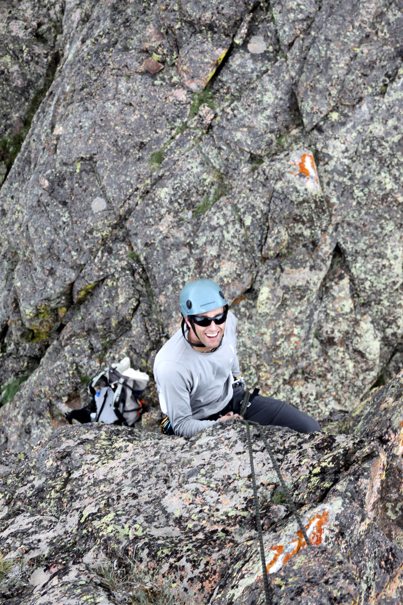
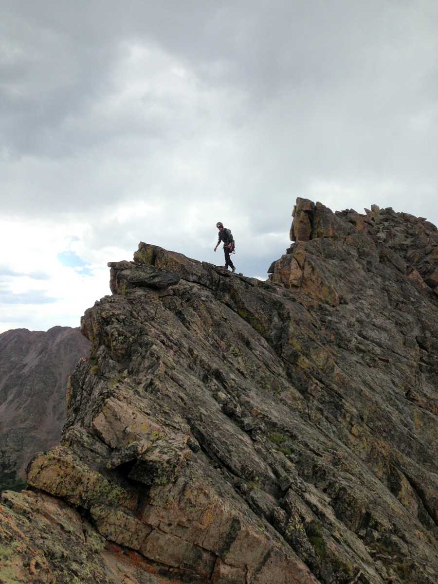
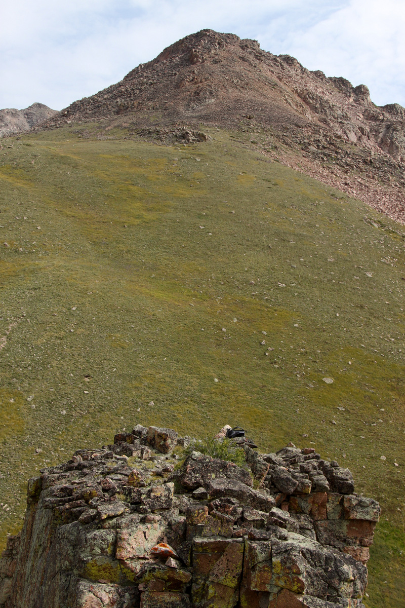
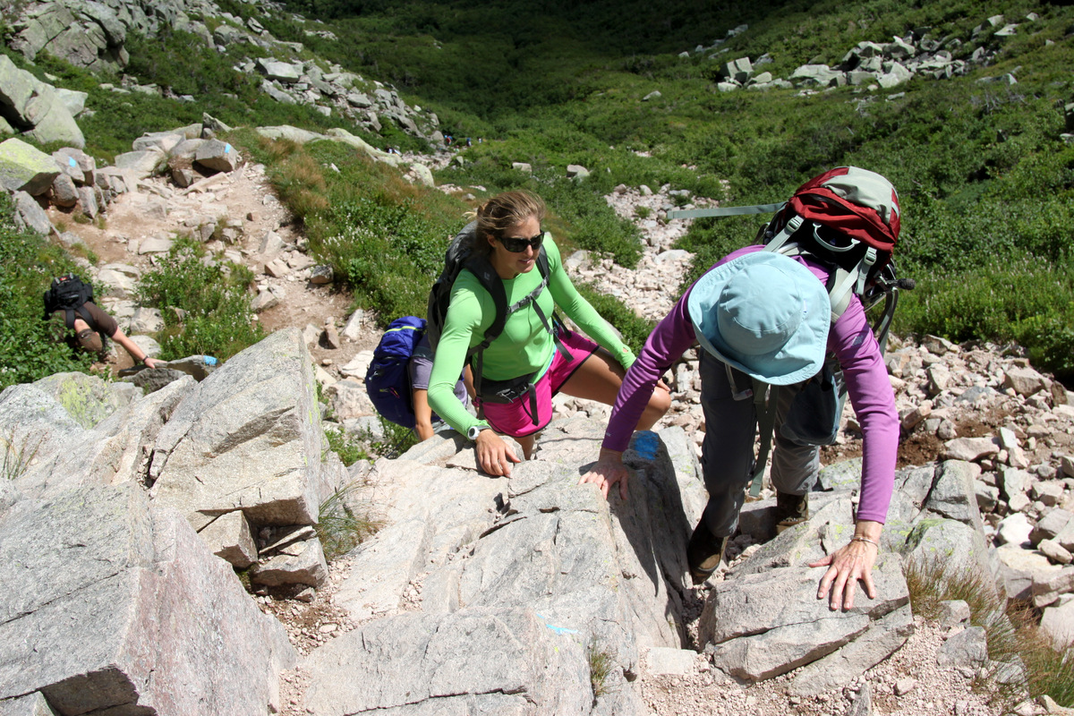
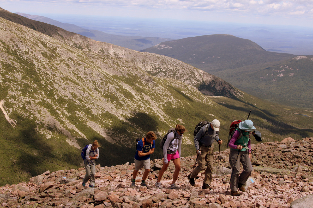
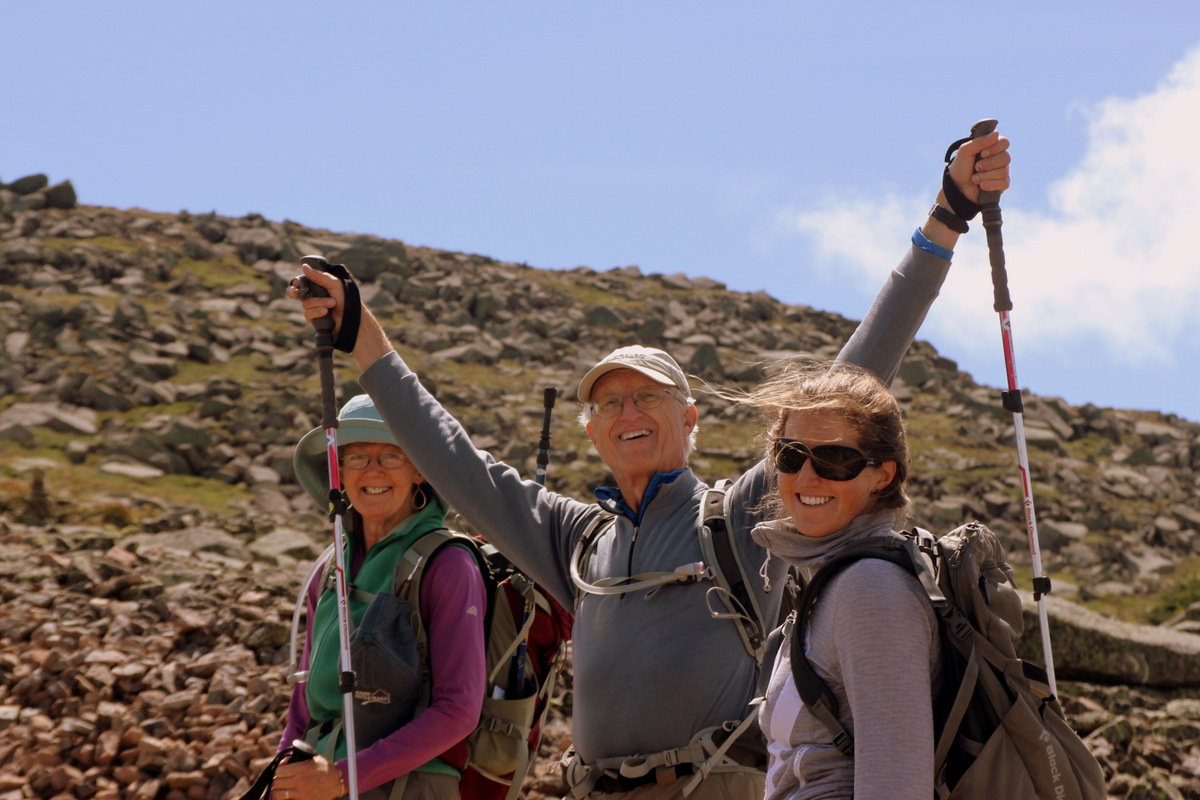
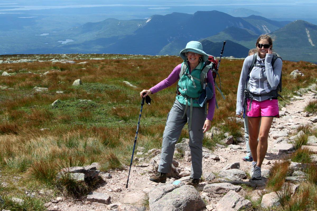
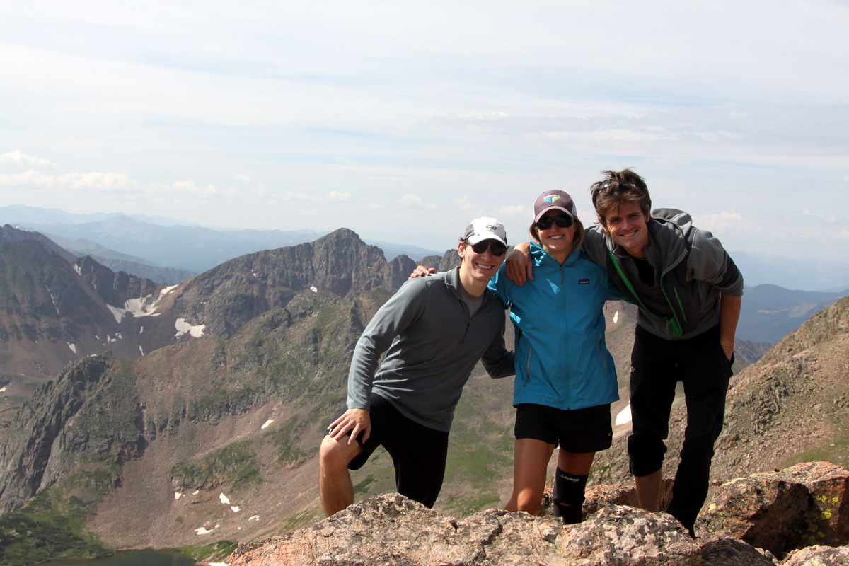
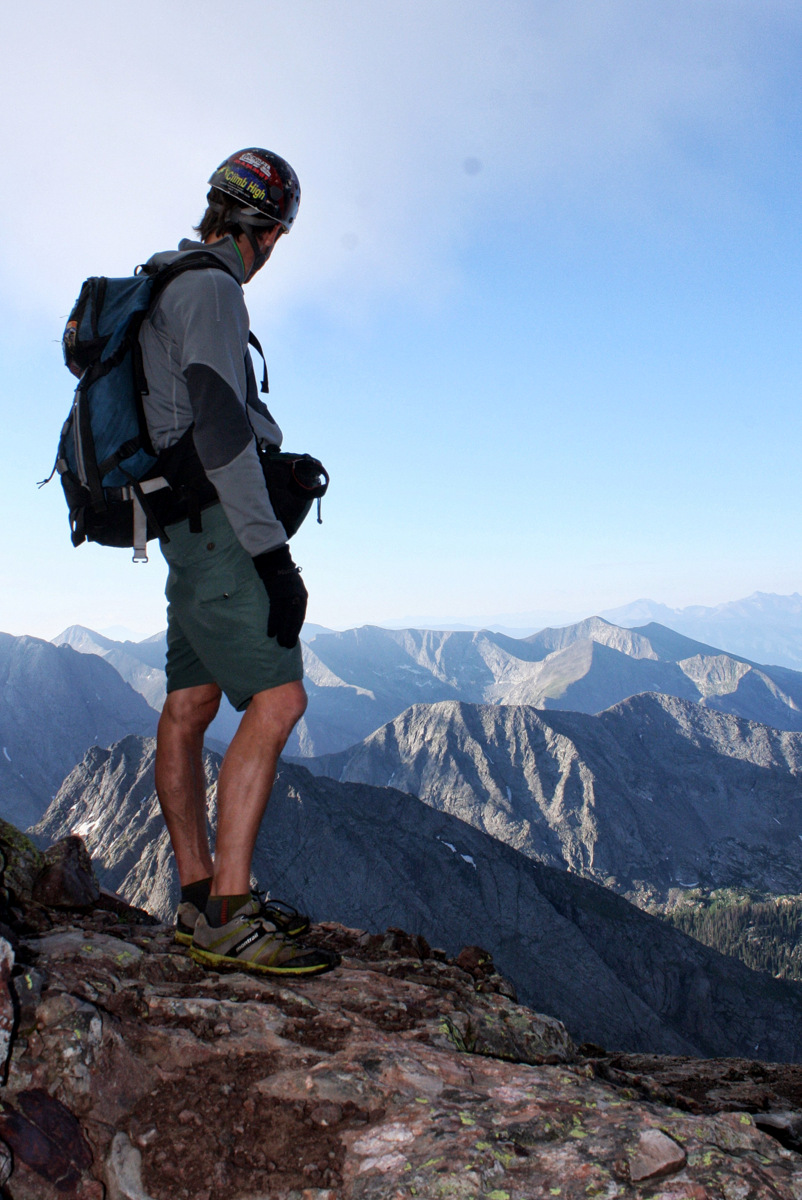
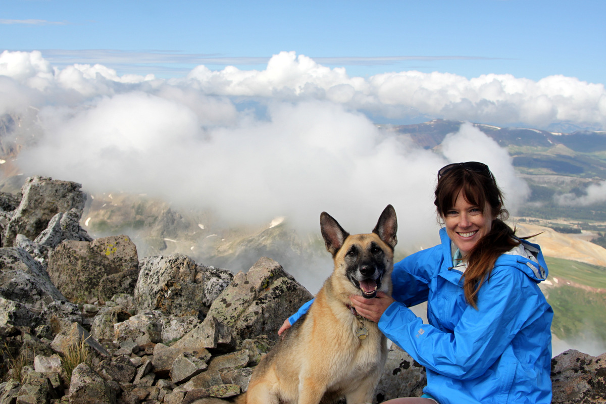
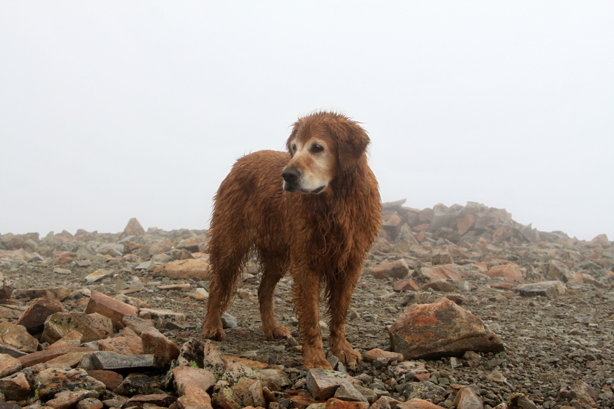
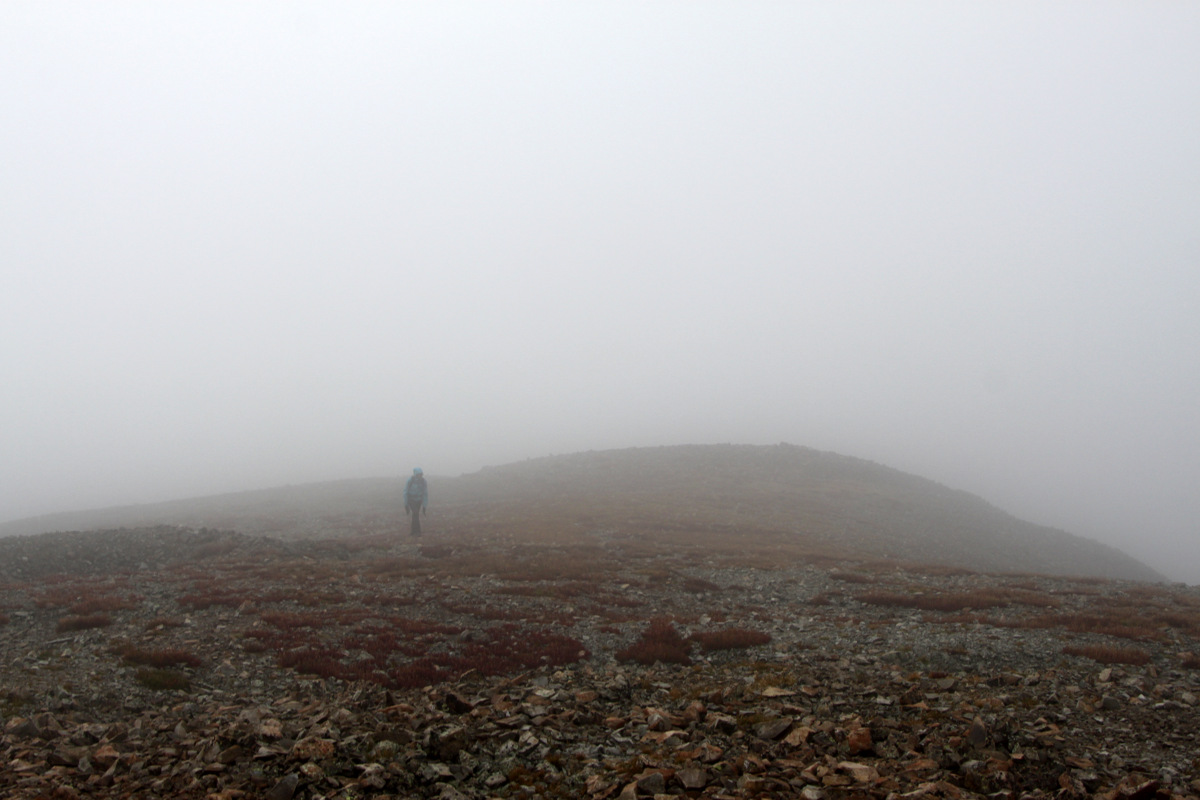
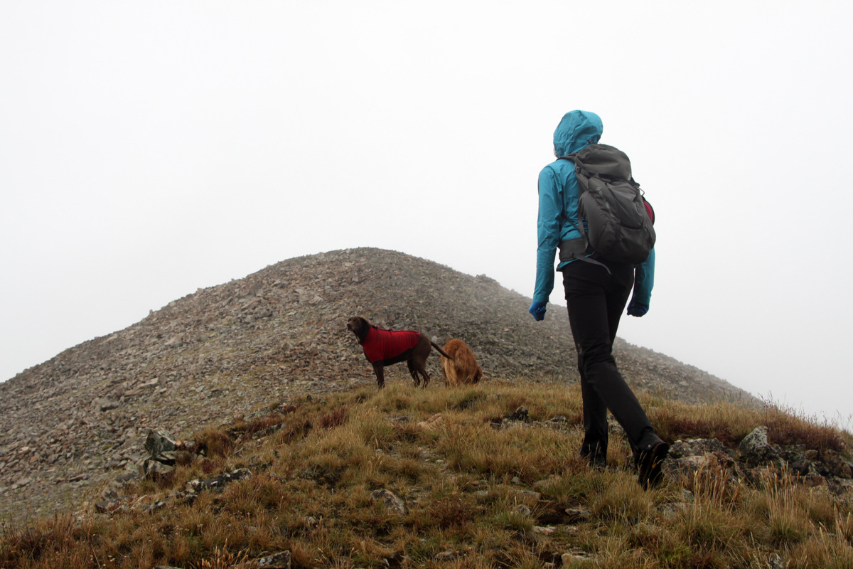
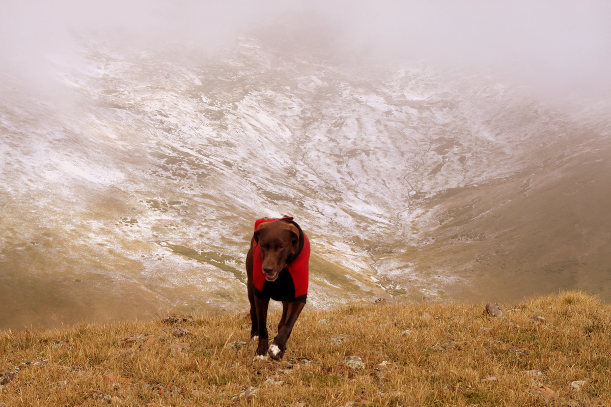
We woke up not too early in the morning, enjoyed some oatmeal and coffee, and all decided to hike up to Zodiac View for the 360 degree views of our awesome surroundings. Everyone did extremely well even on the loose talus hiking the last couple hundred vertical feet. Rainie may be 10.5 years old, but she sure is a trooper and still a great hiker.
Zodiac View from the rocky tower J and I climbed up
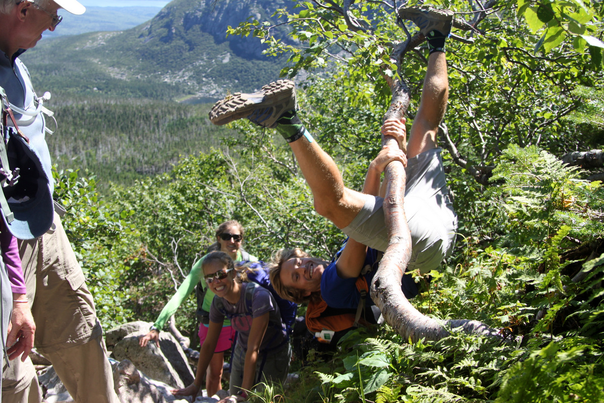
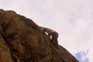
J making things interesting as always
J checking out Gore Lake from the rock tower
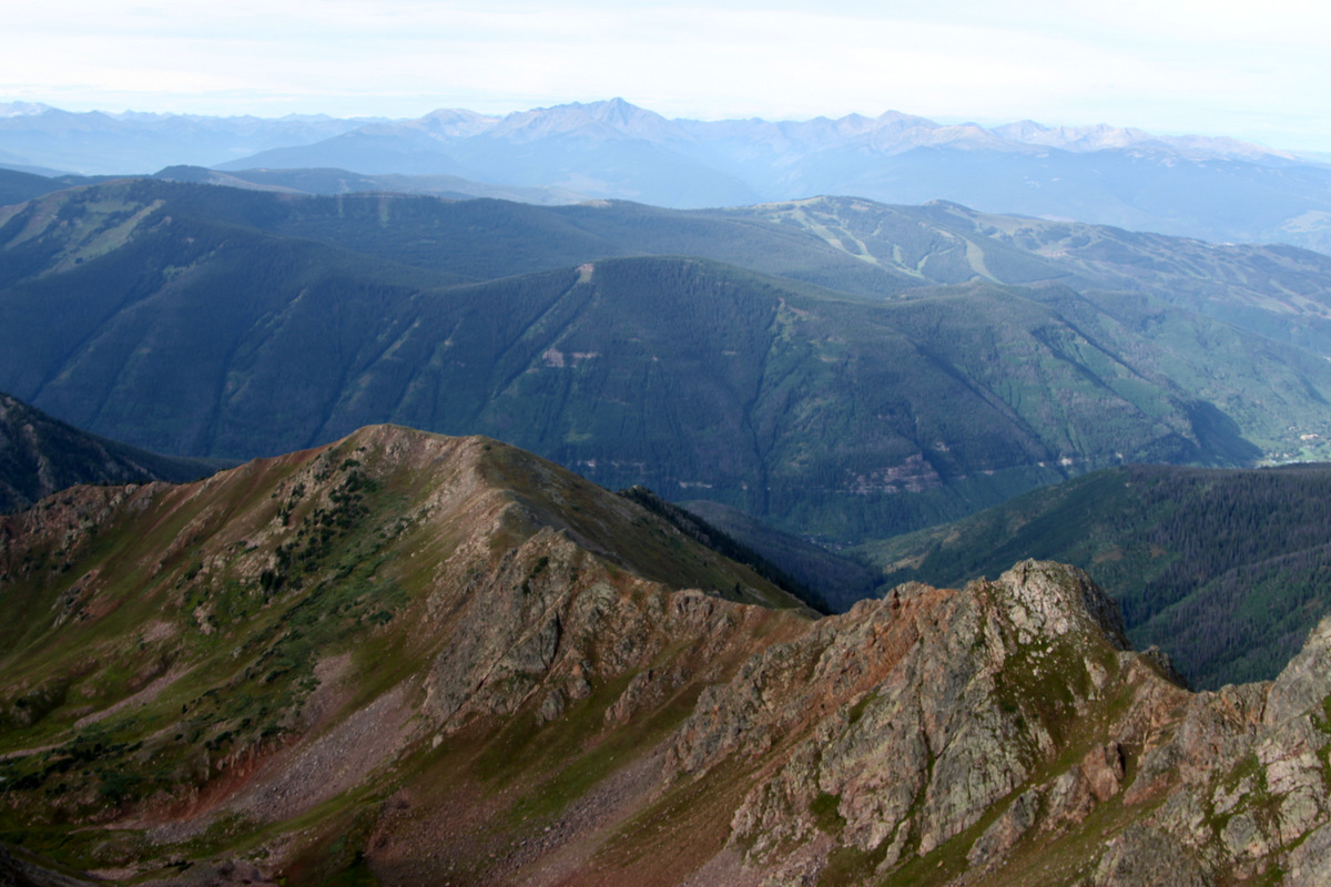
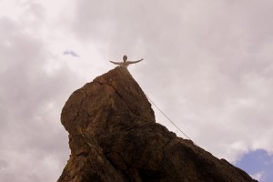
The views atop Zodiac View were amazing – would you expect anything less with that name?
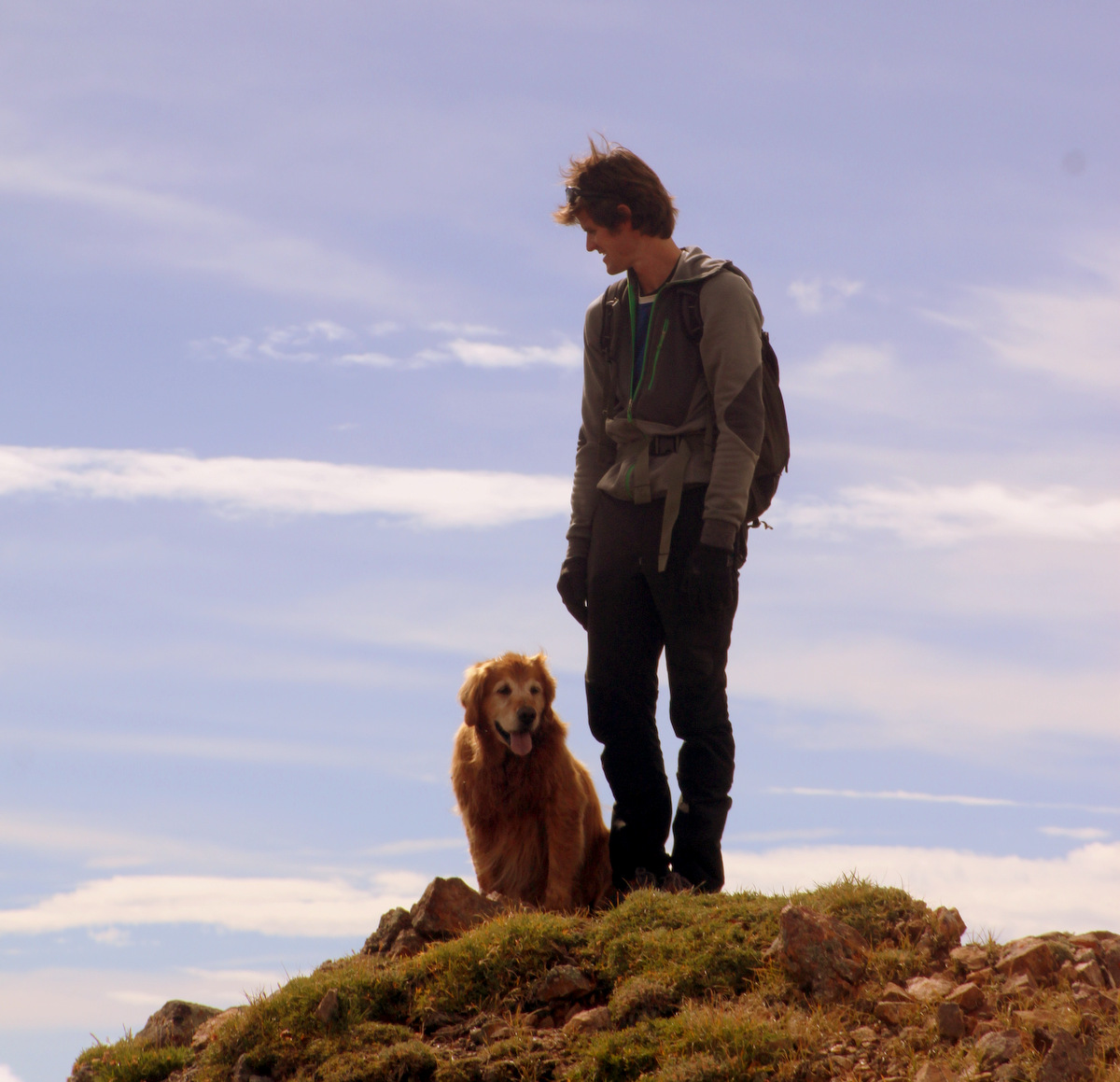
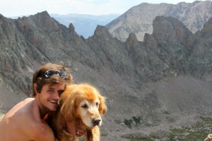
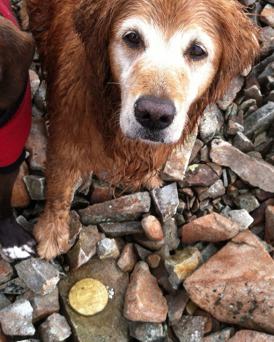
J and Rainie on the summit of Zodiac View (12,505′)
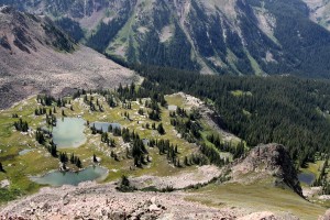
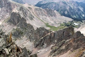
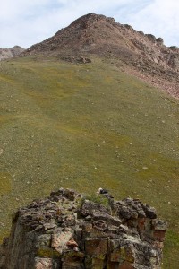
Looking down at the Zodiac Ponds and the rock tower at right from the summit of Zodiac View
Our route up to the Silverthorne plateau from Aries the previous day is shown in red

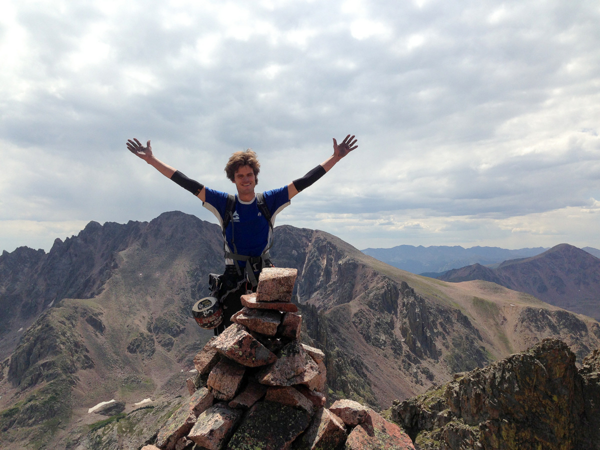
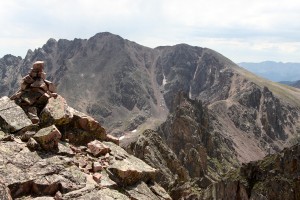
Zodiac View summit (12,505′)
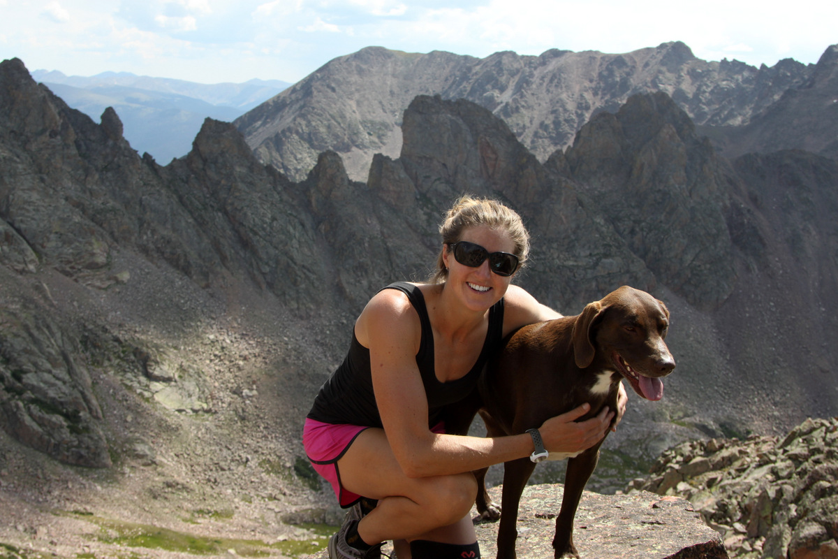
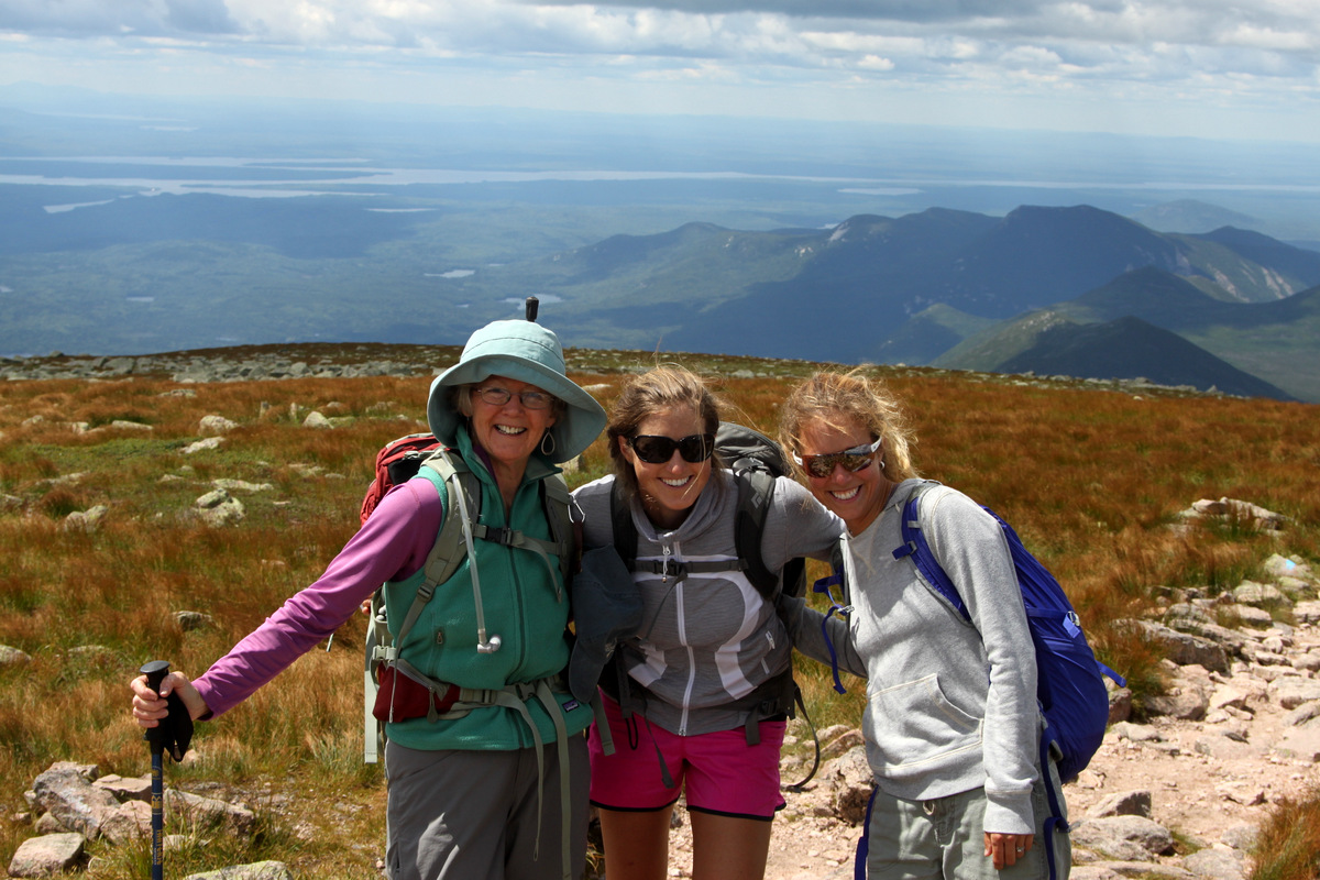
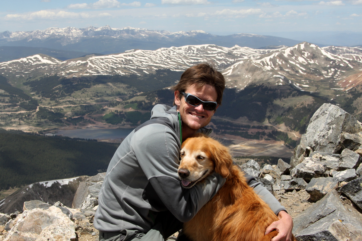
Me & Rainie on the summit of Zodiac View with Zodiac Ridge behind
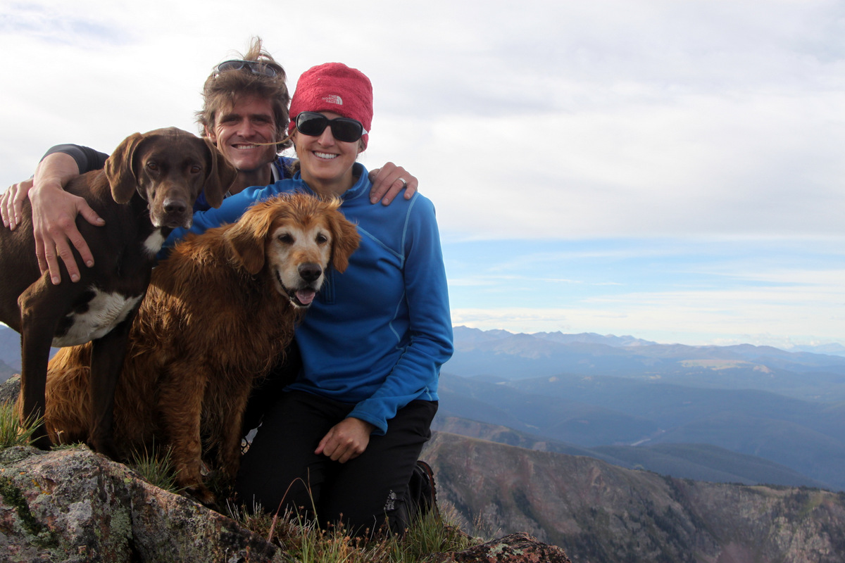
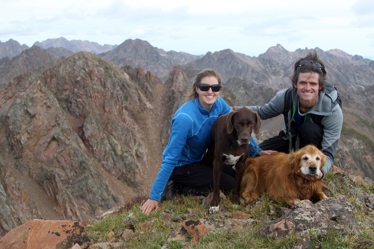
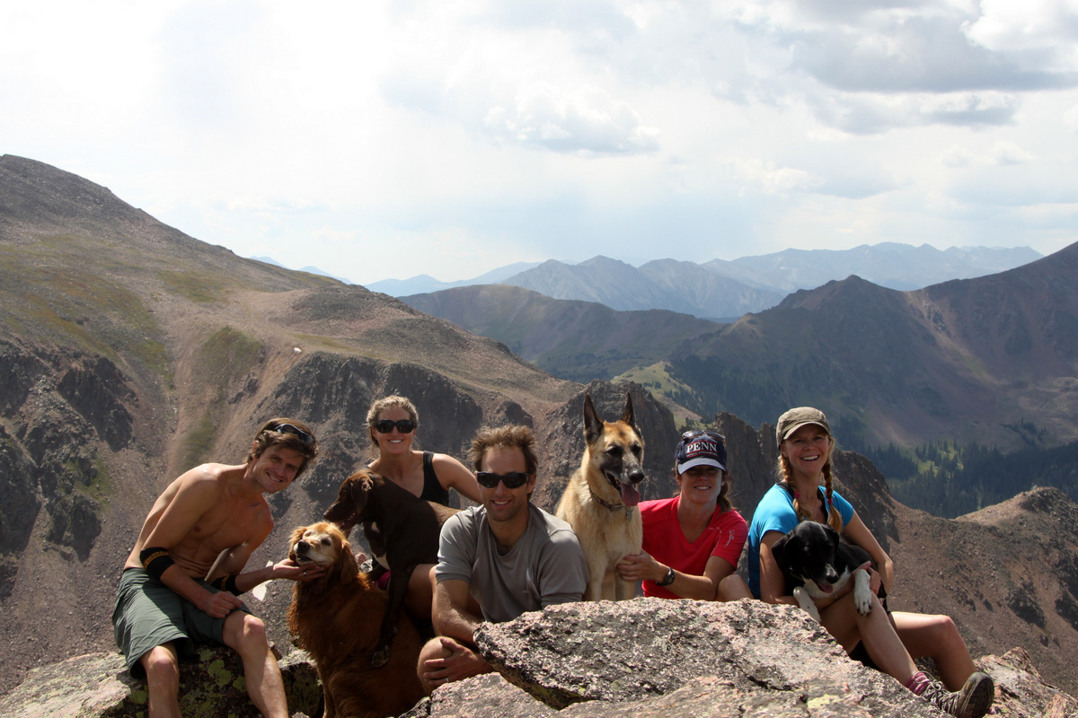
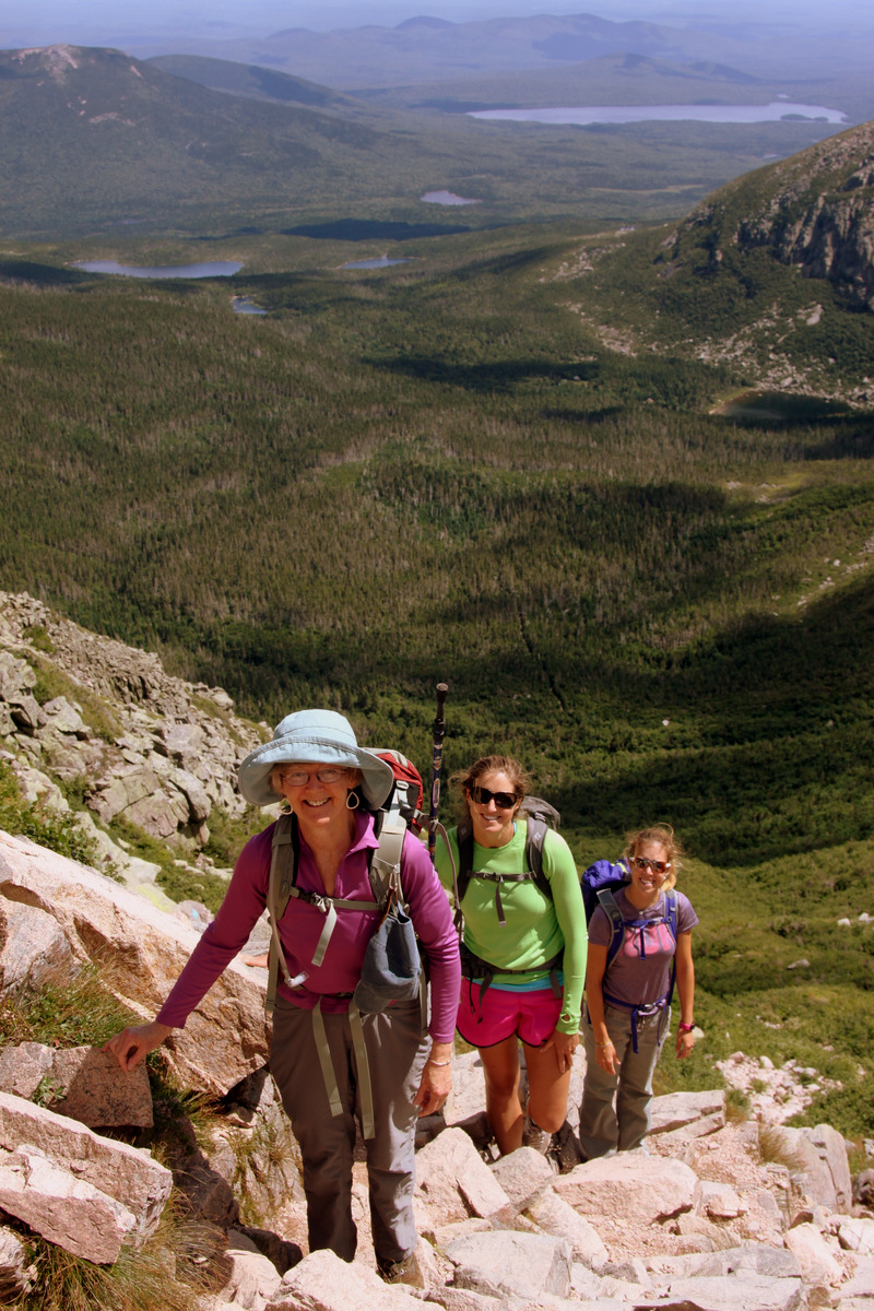
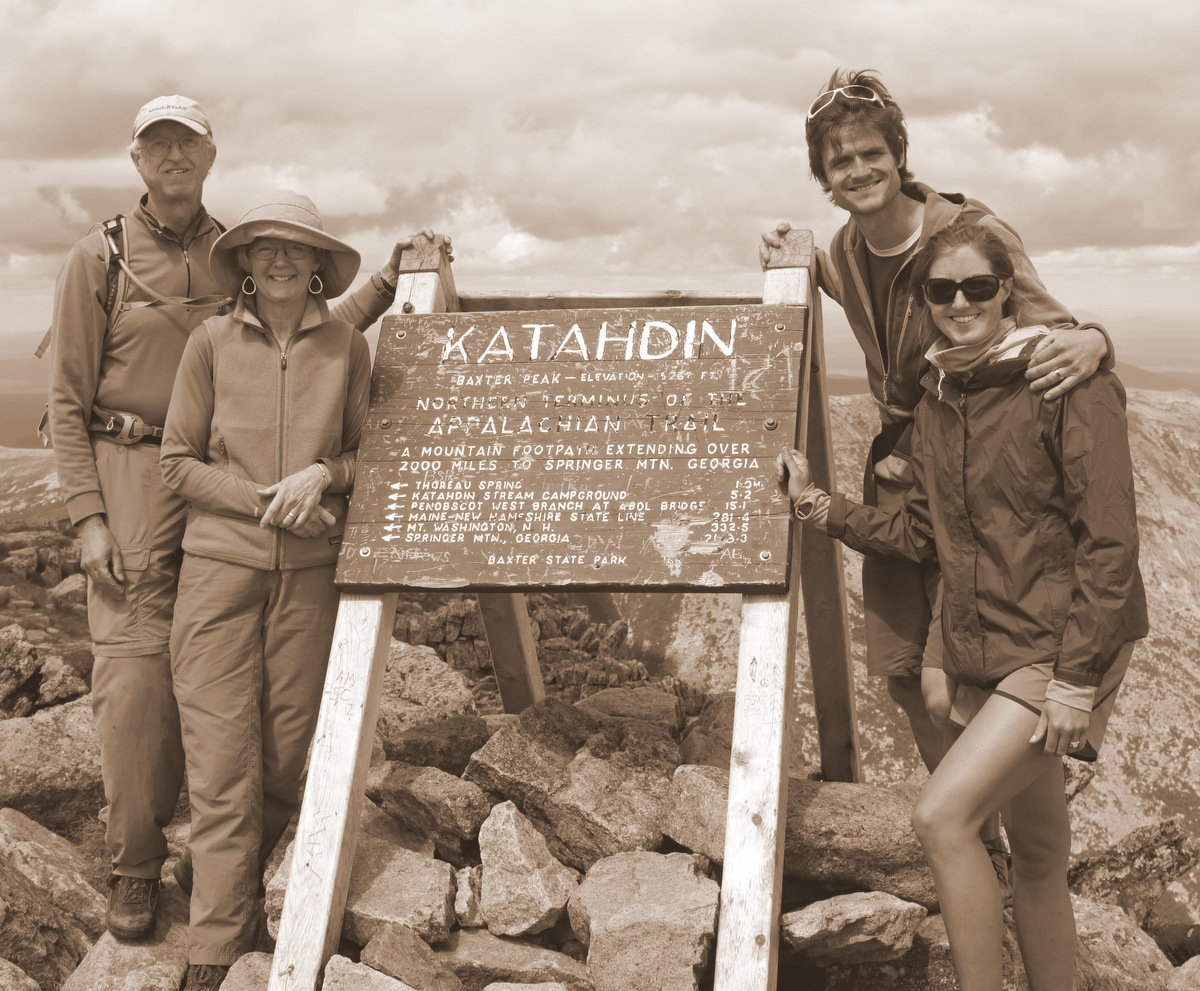
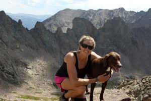
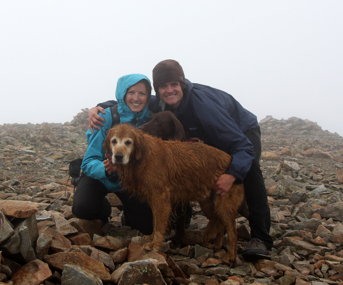
Sarah & Molly on top of Zodiac View (12,505′)
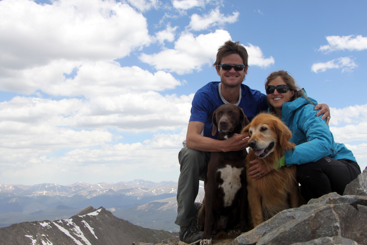
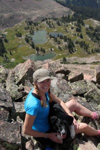
Kristine & Kona on top of Zodiac View (12,505′)
The ladies on Zodiac View with Red Peak standing tall in the distance
Zodiac Ridge one last time
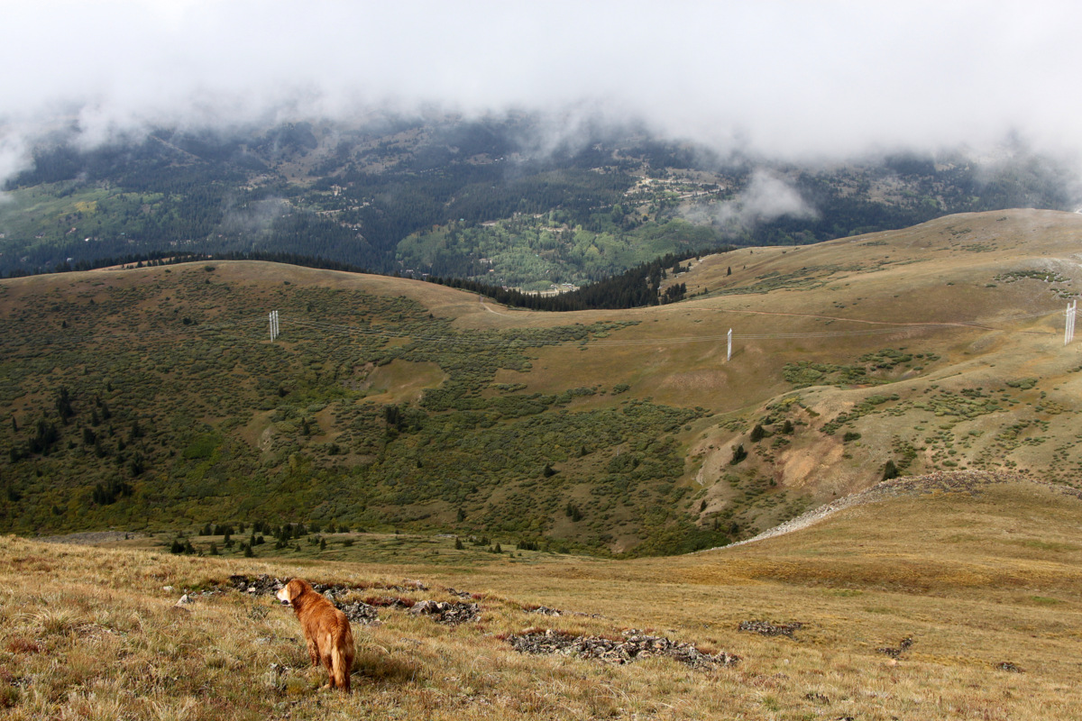
We then descended to the Zodiac View-Mt. Silverthorne saddle and headed down east to the upper basin below Zodiac Ridge.
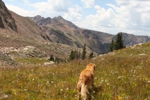
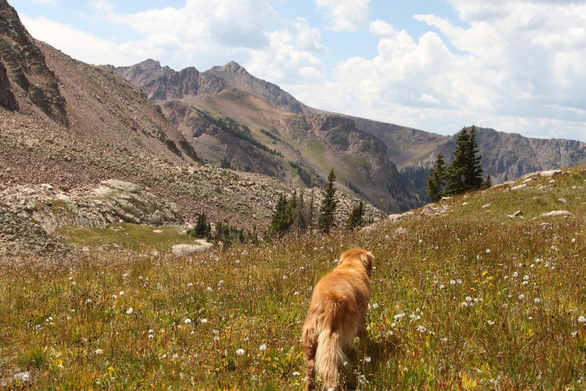
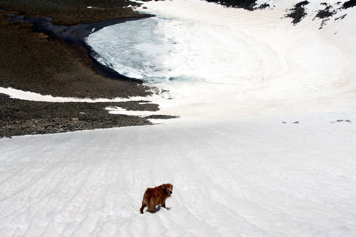
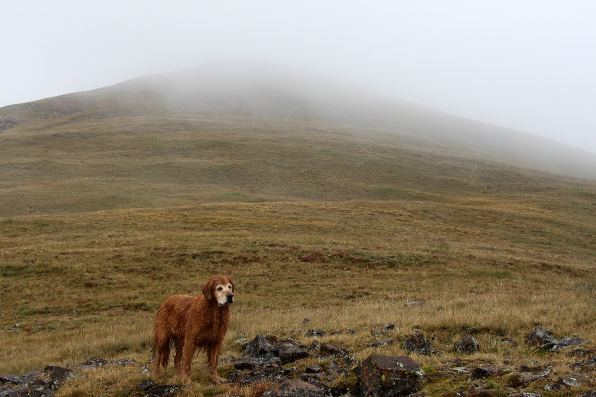
Rainier among beautiful surroundings
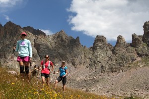
Parting shot of the ladies & Scout with Zodiac Spires on the hike back to camp
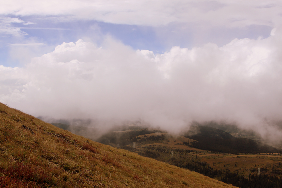
After packing up camp, made our way back to the Gore Lake trail essentially pretty close to the route we forged on the way up, and back out the long 4.5 miles to the Gore Creek/Deluge Lake trailhead in East Vail. The heavens absolutely unleashed its fury on us in the form of a torrential downpour for a good hour and a half. It actually felt good to be hiking in the rain again, though Kona would have begged to differ. It didn’t matter, though. We were going to be in the warm confines of my car soon.
It was a big weekend full of fun, excitement, ridge runs, family, and good friends in the heart of the Gores. Can’t get much better than that. I’m very happy and grateful that traversing Zodiac Ridge worked out for us because I honestly didn’t know how good our chances were at completing this ridge. Now, I guess, maybe we should see if we can do the traverse north to south instead of south to north? Ah, shucks, let’s leave that for another year.
 Follow