Having made several trips back east this summer and with several more upcoming trips to Oregon and Jackson Hole, Kristine & I wanted to get out together with Rainier & Kona for a fun backpacking/dog-friendly peak bagging trip. We didn’t want the trip to be too much for Rainier and I thought this would be an appropriate length and we could tag as many summits as we think she could physically handle. She would follow us to the ends of the earth whether her body would allow it or not, however we are the ones who have to limit her. So, we turned to our favorite local Gore Range and backpacked 3 or so miles into a camp at about 10,500′ in the Pitkin Creek drainage accessed from East Vail on a Saturday afternoon. I have had my eye on a few unranked 13ers and high 12ers on the east side of the Pitkin Creek drainage for some time now and thought they would be good Rainier & Kona peaks, i.e. nothing too technical or “scrambly” – just a nice mellow, class 2 ridge run. The highest peak on the ridge is Mt. Solitude (13,090′) and we had great views of the ridge from our camp.
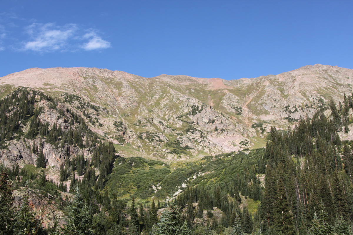
Looking up at the Solitude ridge from camp
Kona & I unfortunately walked into a beehive in the ground searching for a suitable tent spot and we both got stung several times – me on the ankle and her on the back and legs. The stinging soon subsided for me and Kona eventually felt better. Nevertheless, it was a fun evening and the weather really held off for all but about an hour of rain. Kristine & I were excited to break out our new Mountain Hardware EV3 high altitude expedition tent (not that we needed it for this summertime camping in Colorado), which I had recently pro-dealed and my parents had given it to me for my 36th birthday. It did very well in the rain and the 3-man tent is so very roomy for us and the dogs and all our gear. It will serve us well on many future expeditions in cold, dry climates.
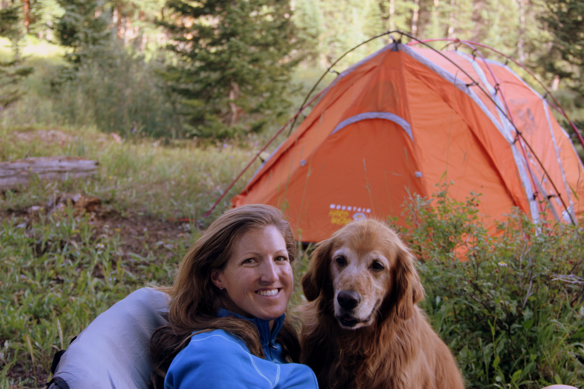
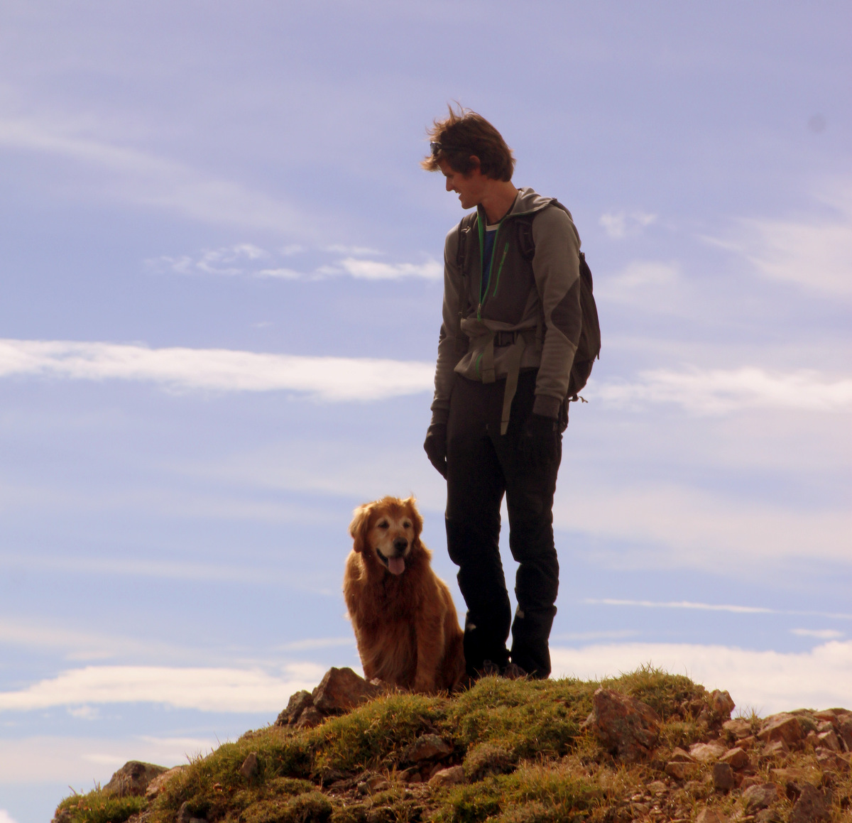
My favorite ladies and the new tent behind
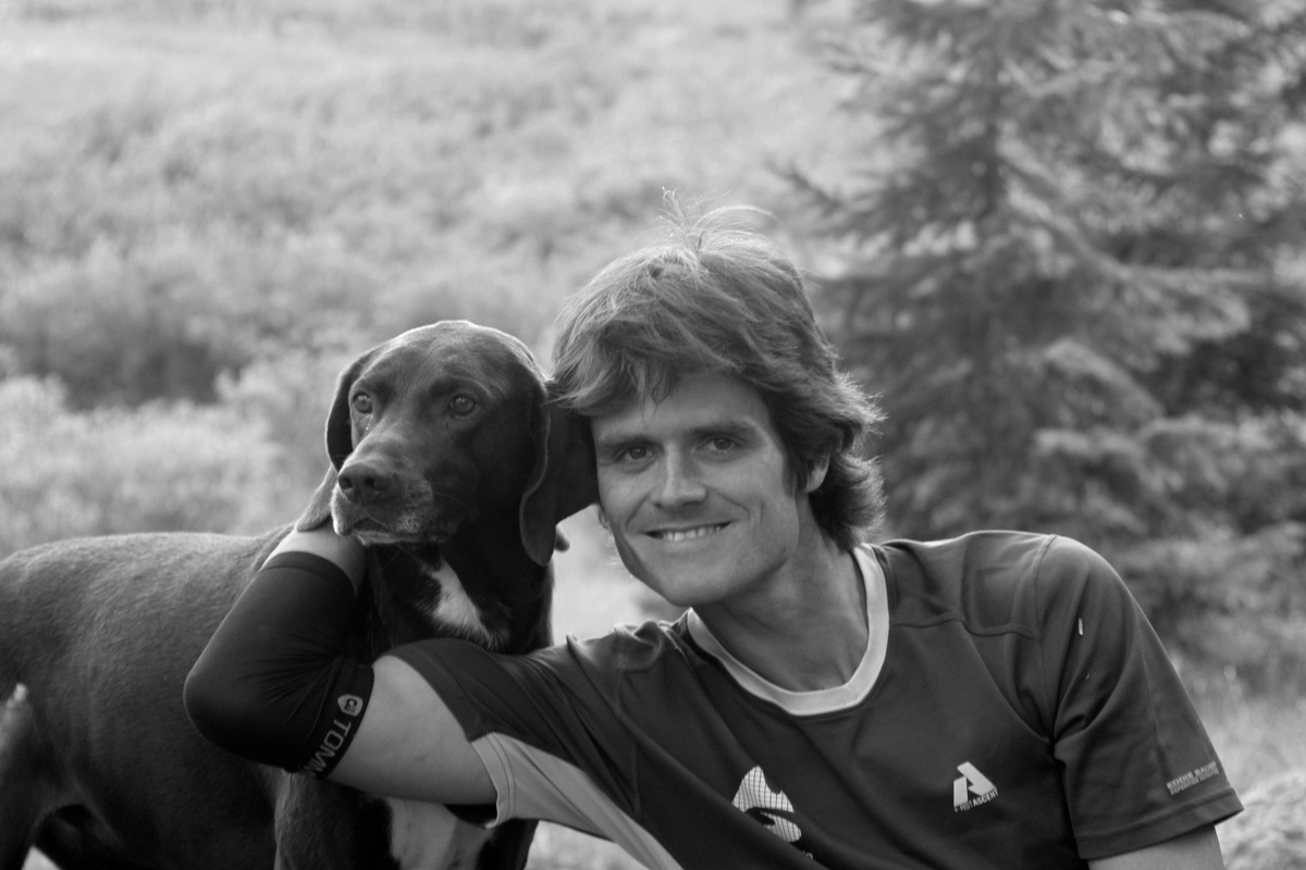
Me and Kona happy that the bee stings have subsided
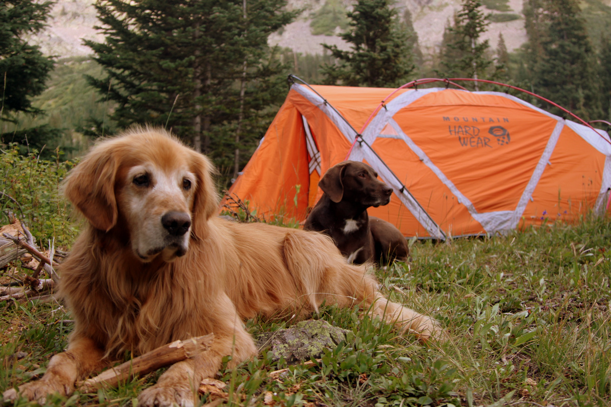
Dog watch
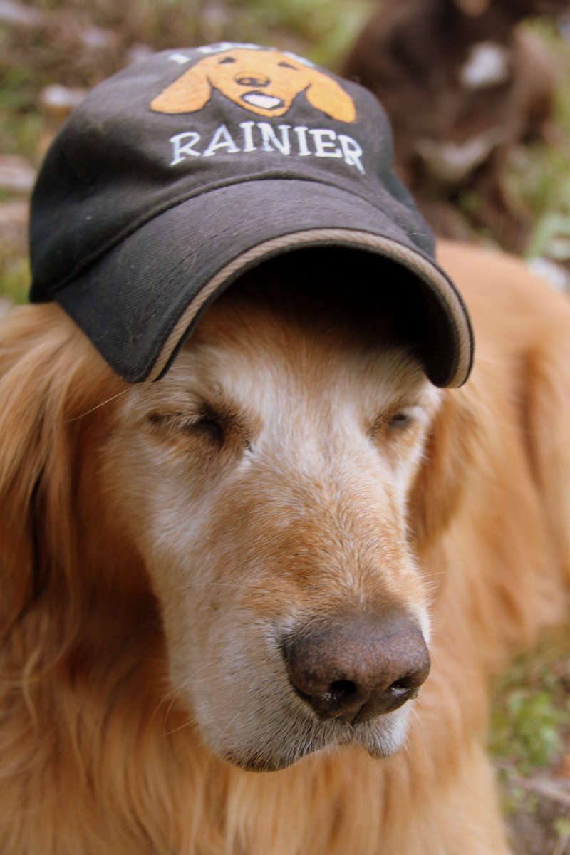
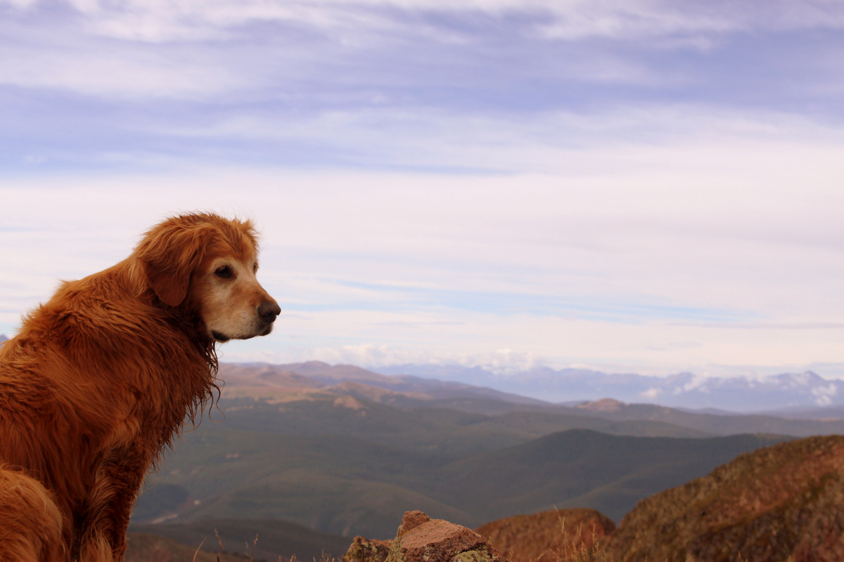
Rainie and her hat
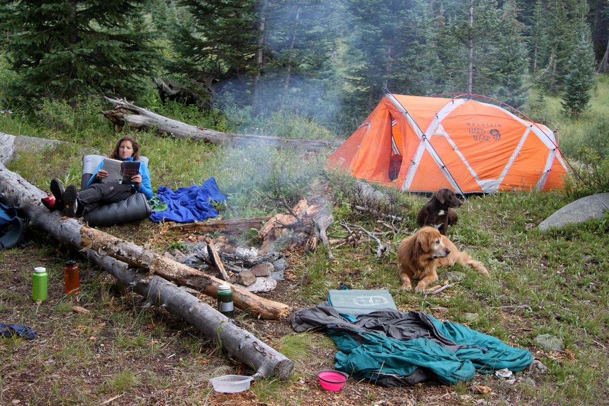
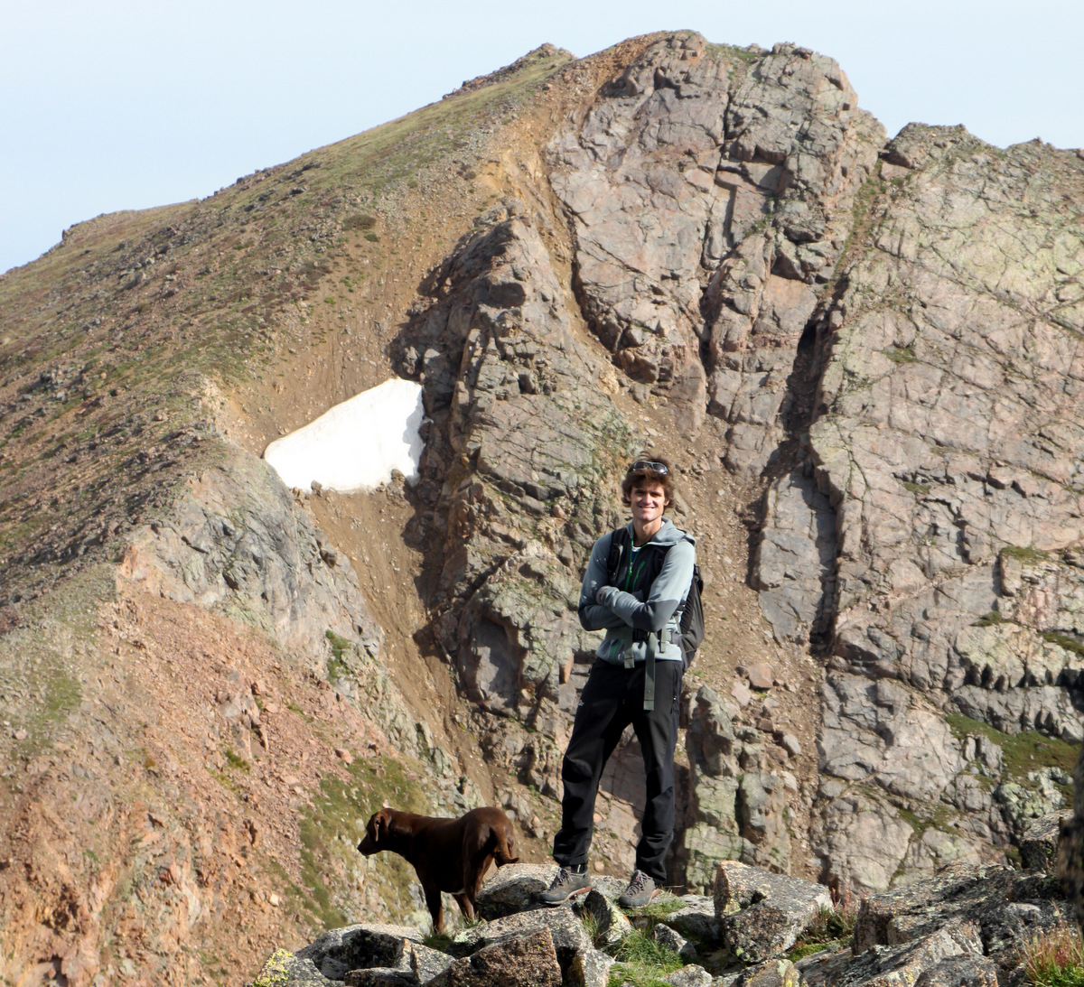
Our little camp at about 10,500′ in the Pitkin Creek drainage – who needs a home in Edwards when you can have this?
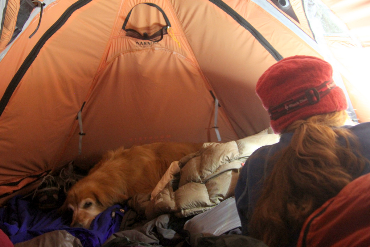
After the rain, I was able to get the fire started again for Kristine’s excellent s’mores roasting skills. After some yummy Kristine s’mores, we put out the fire and settled into our new tent with the dogs.
Our new, roomy tent
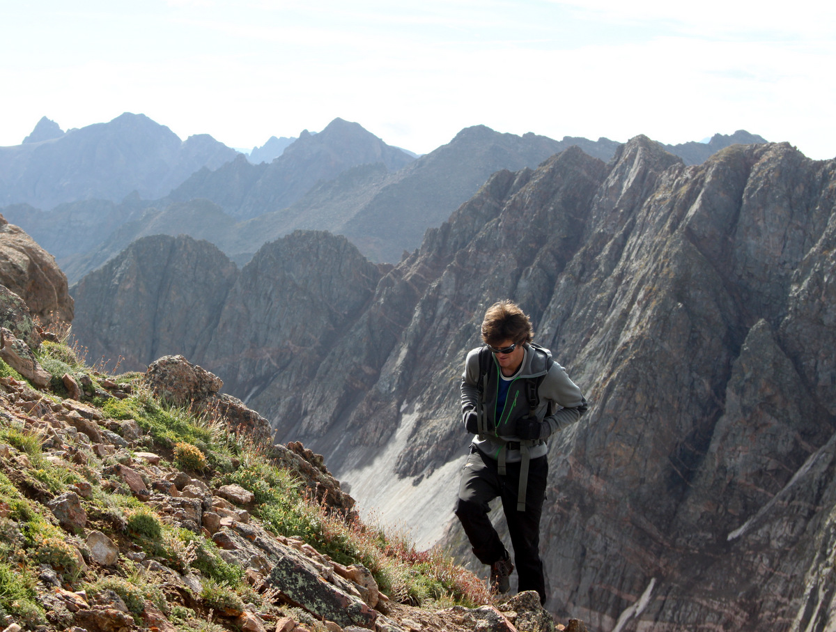
5am came early and after some oatmeal and coffee, we departed our camp for some bushwhacking up the steep western drainages coming down off the Solitude ridge. From the rain the previous night, the grass and willows were so extremely wet. We got soaked – our shoes, pants, gloves, everything. Fortunately, it wasn’t very cold out and we continued on just fine. Anyway, I spotted a decent looking gully interspersed with rock steps up to the saddle between Point 12,620′ & Skier’s Point (12,930′) and we aimed for this route. It was a steep, loose scree climb but we all managed to reach the saddle about 2,000 ft above camp.

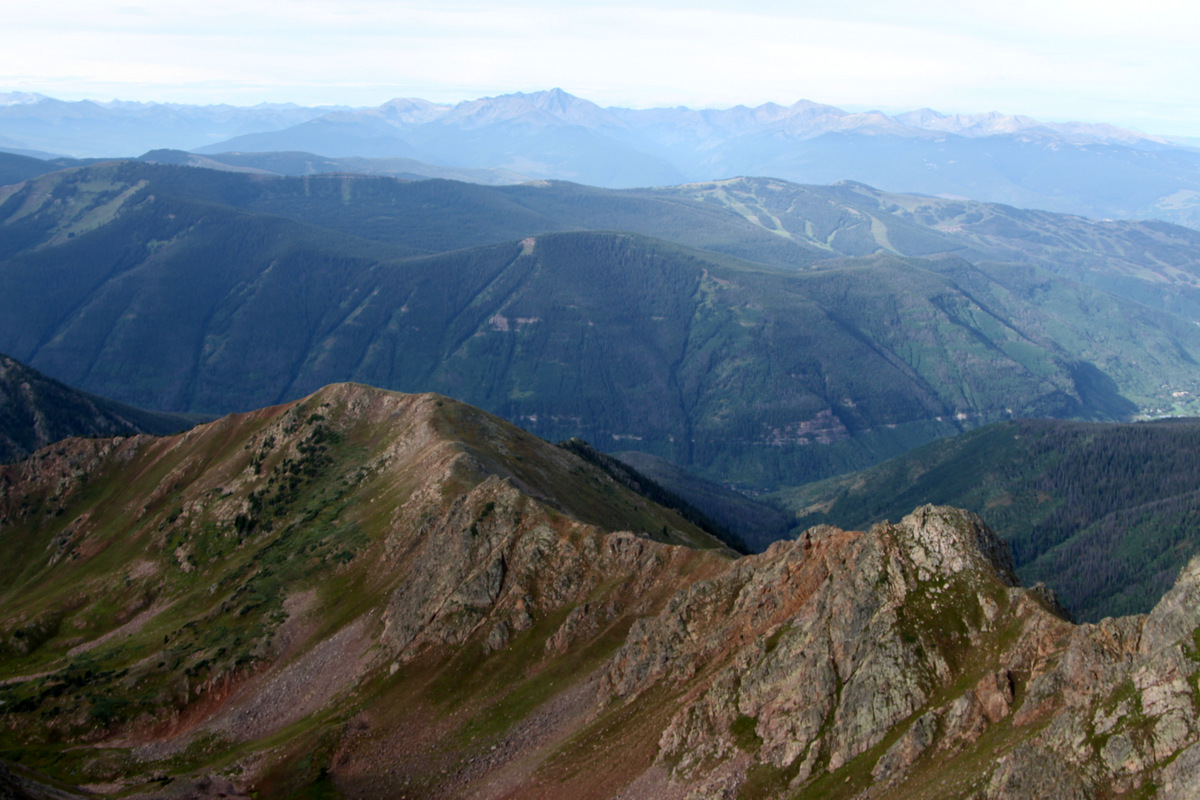
High clouds over Vail & the northern Sawatch on a Sunday morning
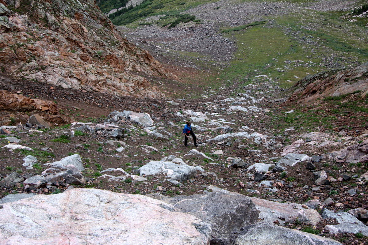
The steep 2,000′ climb up from camp to the Solitude ridge
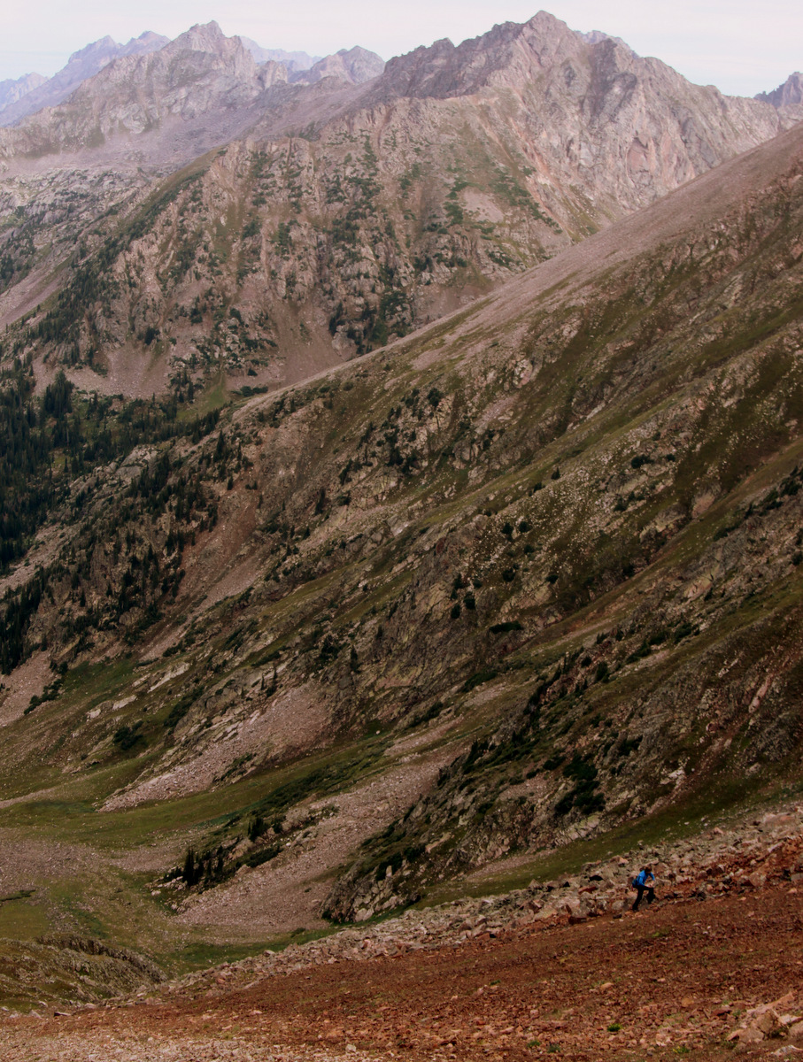
Kristine on the long, steep, & loose slope up to the Solitude ridge with East & West Partner Peaks behind in the distance
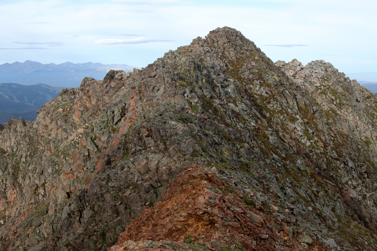
We all scrambled over moderate class 3 rock over to Point 12,620′ for some great views of the Pitkin Creek drainage and Vail ski mountain.
Point 12,620′ from the saddle with Skier’s Point
Point 12,620′
We then climbed up a few hundred feet to Skier’s Point and had excellent views again of our surroundings. It was a bit chilly with the high clouds as the sun couldn’t quite peak through to warm our damp bodies up.
Looking over at Climber’s Point, Mt. Solitude, & Vista Peak (right to left) from the summit of Skier’s Point
View south from the summit of Skier’s point to Vail ski mountain and Mt. of the Holy Cross beyond
Skier’s Point summit (12,930′)
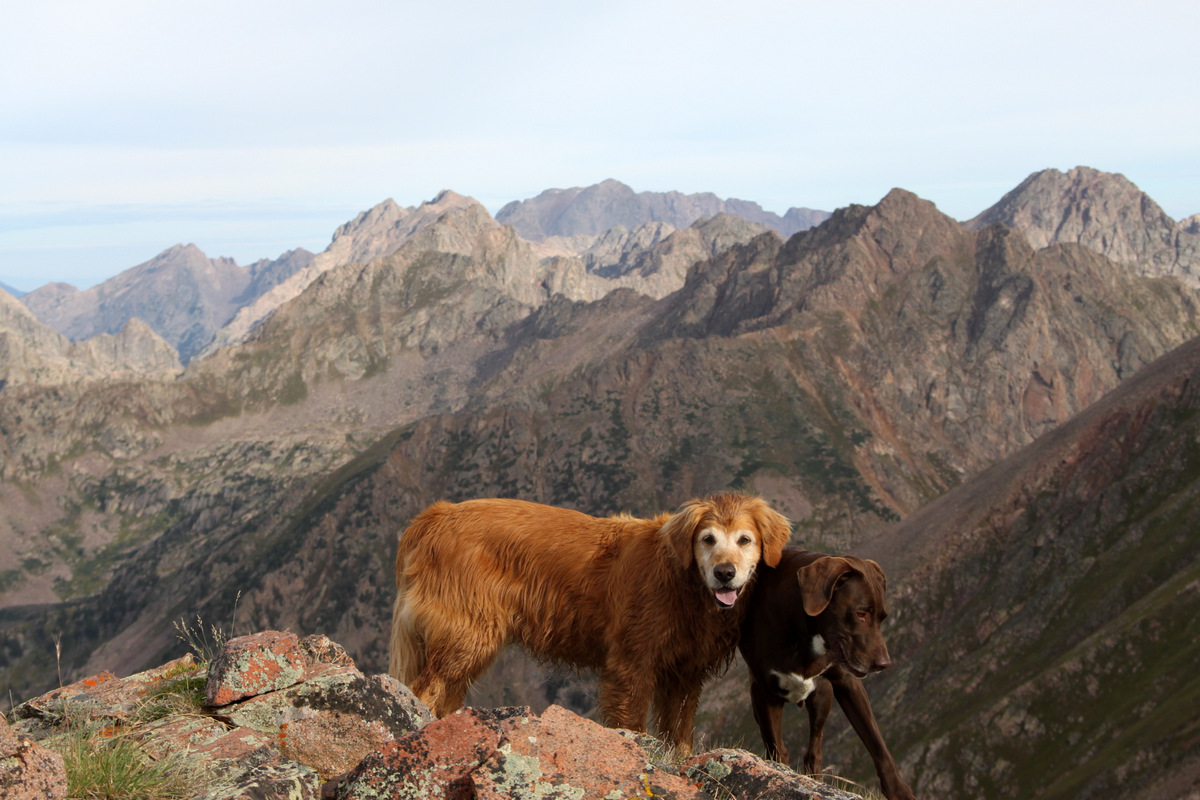
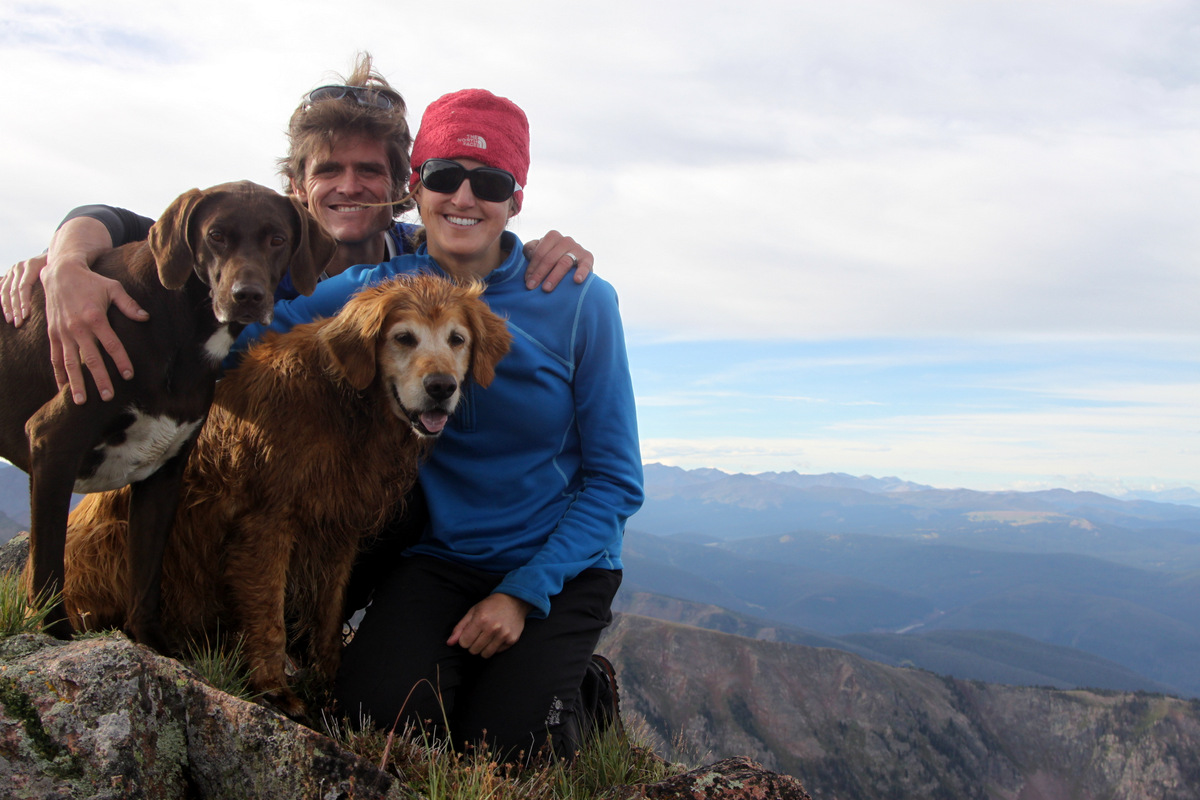
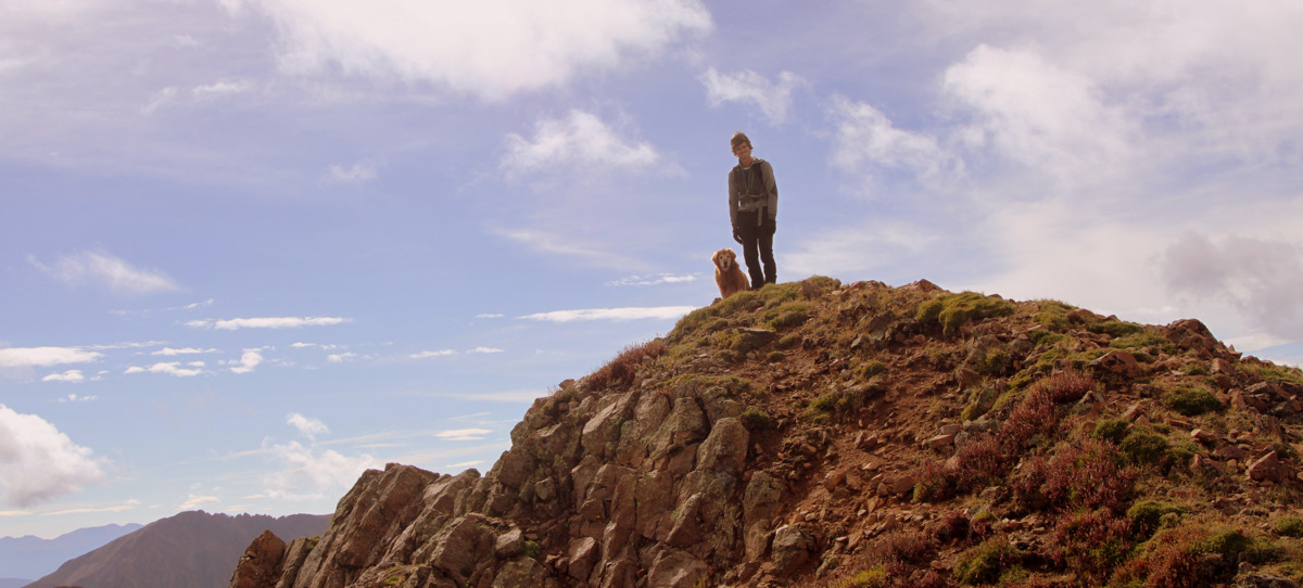
Rainie & Kona on the summit of Skier’s Point with the northern Gores behind
Rainier was doing so well and I think she was having a great time. Like the good ole days. We brought a lot of water and snacks for the dogs. What really saps Rainie’s energy these days is the boulder fields and getting up and over large blocks and boulders. Its just not nearly as smooth and easy as it was for her a few years ago. There were a few of these sections interspersed with nice grass ridges on the way over to Climber’s Point, but for the most part she did extremely well. Climber’s Point was wonderful and we could look over to the east at Keller Mountain and its associated ridges, which we had climbed a few weeks prior.
Rainie on the summit of Climber’s Point (13,005′)
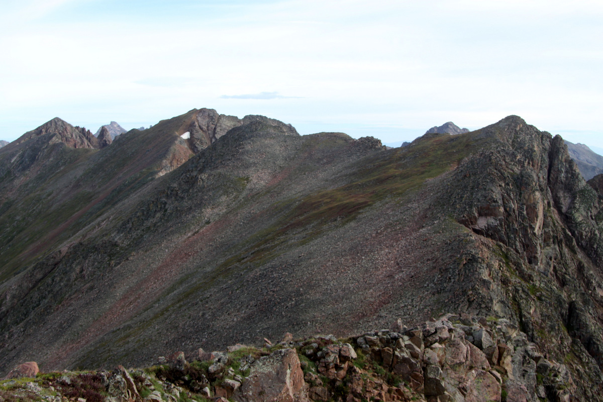
We could tell at this point Rainie was getting a bit winded and tired but decided to hike over to the next point on the way to Mt. Solitude over a small boulder field. The good news was that the remaining half mile to the summit of Mt. Solitude was mostly grassy ledges and gentle slopes. We all made good time along this scenic ridge to the summit of Mt. Solitude.
On the ridge to Mt. Solitude (behind me & Kona)
Me heading up to Mt. Solitude
Kristine & I were so proud of Rainie. However, she was beat and it was time to descend. The 5th peak for the day, Vista Peak, which was another half mile of ridge running to the north, would have to wait for another trip.
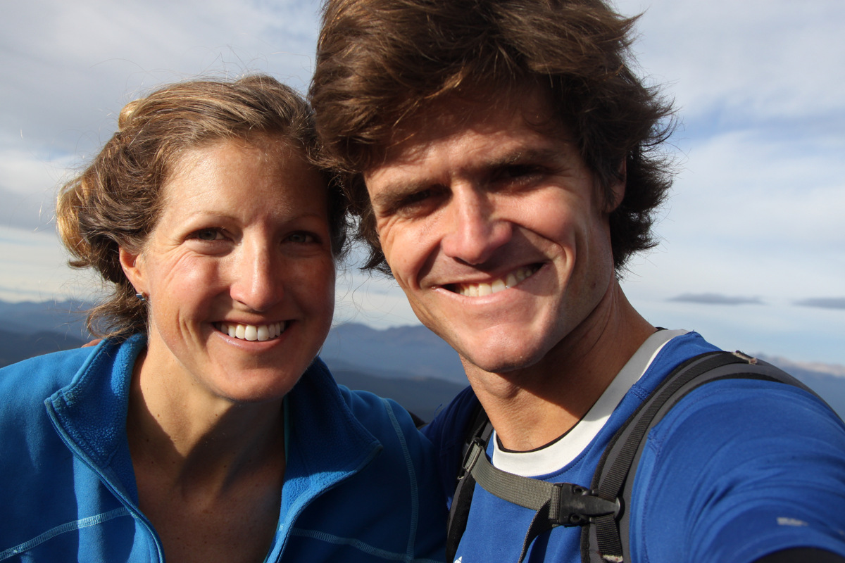
Rainie & I on Mt. Solitude’s summit (13,090′)
Close-up of Rainie & I on Mt. Solitude’s summit (13,090′)
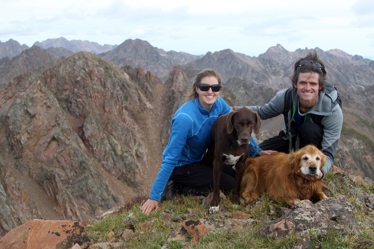
Mt. Solitude summit (13,090′)
After signing us into the register on Mt. Solitude, which I noticed had several recent signatures of familiar folks, and a few pics, we headed down to the low point between Mt. Solitude & Vista Peak and descended steep but grassy slopes down for about 1,500 ft.
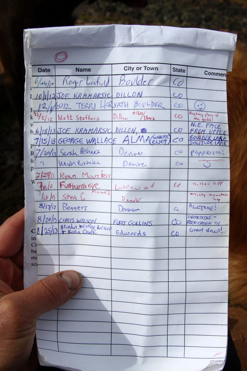
Mt. Solitude summit register
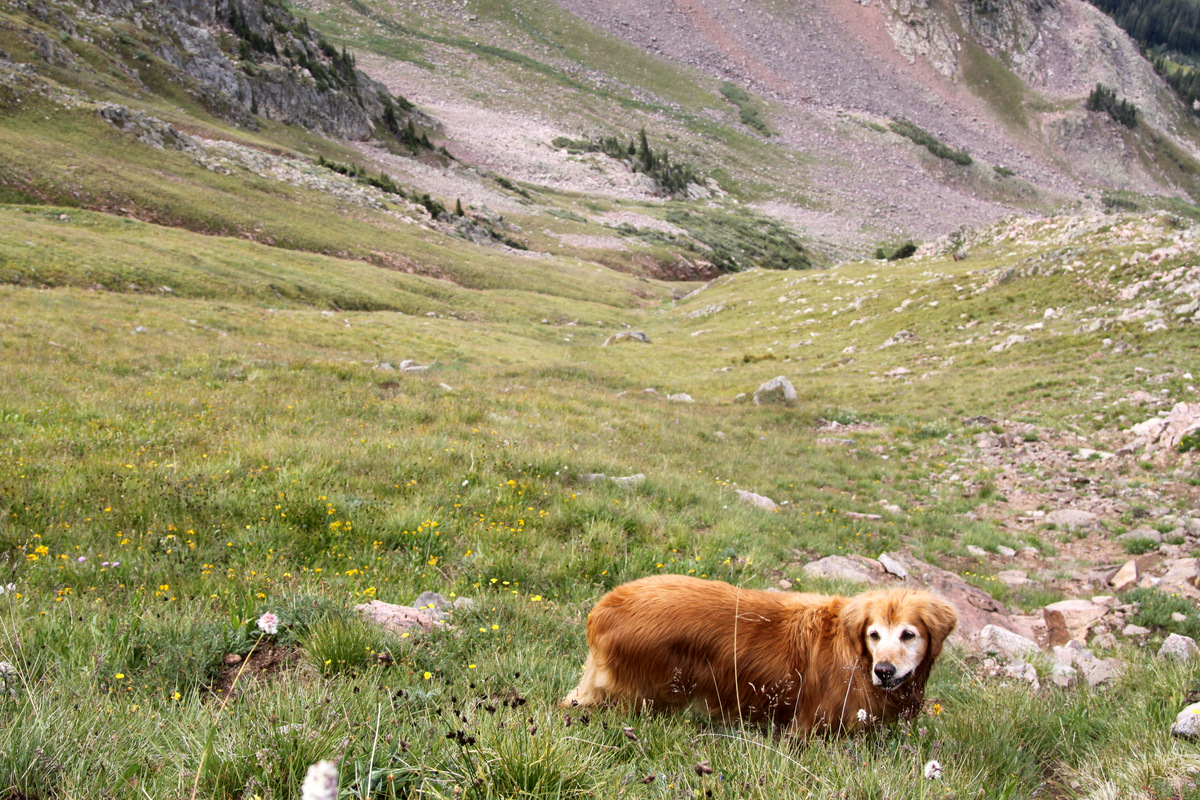
Rainie heading down Mt. Solitude’s west slopes back to camp
By the time we got back to camp around 11:30am, the dogs were pooped. They ate and rested while Kristine & I packed up camp and loaded up our backpacks. The 3 mile backpack out was pretty hot but we all made it back to the car around 2:30pm. It was a great 24 hrs out with Kristine and the dogs and it was a fun camp and loop of a few peaks for all of us. In the past, I had backpacked all the way into Pitkin Lake a few times and climbed the Partner Peaks from a camp there, but now we know we can access a few worthwhile peaks on the way into Pitkin Lake – peaks that are fairly mellow and dog-friendly. Yes, Rainie, was a bit tired and stiff after her big day, but its nothing that some cold river swims can’t cure. She swam her little tail off.
Our camp and loop is shown in green on the map below (the red route denotes the standard route up East Partner Peak):
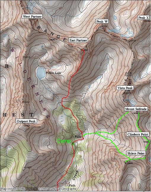
Our route in green from camp
 Follow


