Pacific’s West Ridge Direct
The west ridge of the high centennial 13er Pacific Peak has long been on the to-do list. While we’ve all been to Pacific’s summit before, that doesn’t mean we shouldn’t grace its flanks again, and again, and again via new and different routes. Pacific, in fact, has a variety of routes from steep couloirs to long ridges. Reid & I had been trying to plan this climb one weekend this past winter but every time we’d make a plan for a Saturday or Sunday morning the wind and weather forecast seemed to shut us down because of the notorious high winds and harsher weather of the Tenmile Range. The west ridge seemed like a fun, albeit short, scramble that would make for an even better snow route in winter-like conditions. Kristine & I were leaving for our very atypical (for us) beach vacay on the island of Caye Caulker off the coast of Belize early Sunday morning and I was to meet her in Denver Saturday evening as she would just be getting in from a teacher conference in Philadelphia all week. The weather looked decent Saturday morning on Pacific with some sun and a front moving in after noon. So, we made a plan and our good friend Jesse Hill rode up with Reid from Denver to join us on the climb as well. The morning was pretty nice for climbing and fairly warm. We left the very familiar Mayflower Gulch trailhead around 8:30am and made our way up the southern slopes of Mayflower Hill. I thought it would be fun to make a loop out of the day and tag Mayflower Hill’s summit first. Mayflower Hill’s east ridge then essentially becomes Pacific’s west ridge after a bit of elevation loss and some mellower terrain. We’d then descend to the Pacific/Atlantic saddle off Pacific’s summit, down into the Pacific Creek drainage, and back to Mayflower Gulch. The snowshoe up to Mayflower Hill’s summit was some nice vertical through very mellow glades. These southern slopes of Mayflower Hill would make for very fun low-angled winter or spring glade skiing.
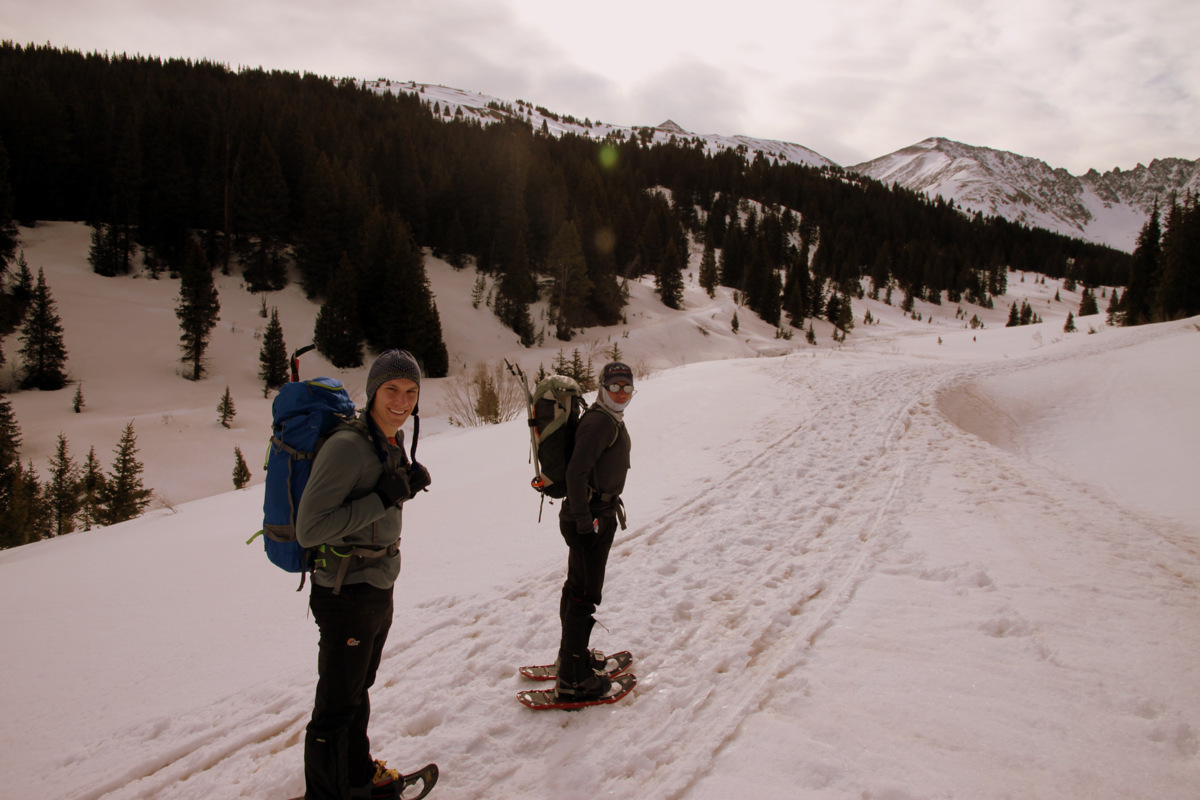
Reid (left) & Jesse at the Mayflower Gulch trailhead. Pacific Peak is barely visible over Jesse’s head
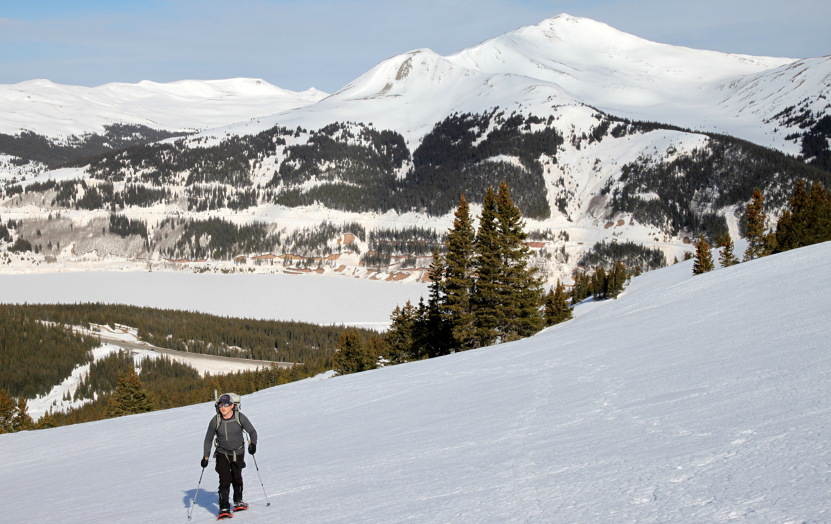
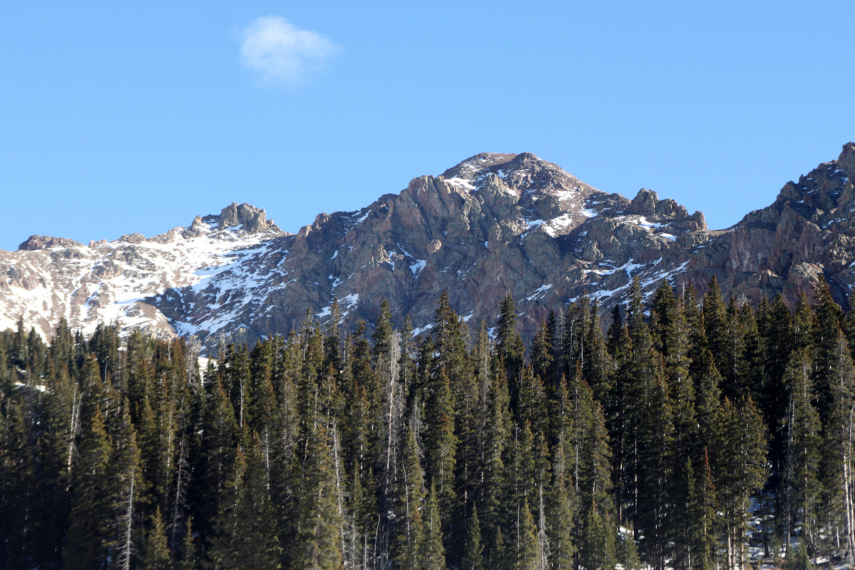
Jesse ascending Mayflower Hill with the 13er Jacques Peak behind
On Mayflower Hill’s ridge with the summit just ahead
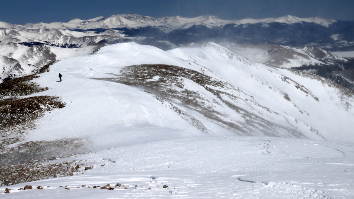
After about an hour, we stood on the 12er Mayflower Hill’s summit looking over Mayflower Hill’s very steep north face and onto Pacific’s west ridge.

Mayflower Hill summit (12,416′)

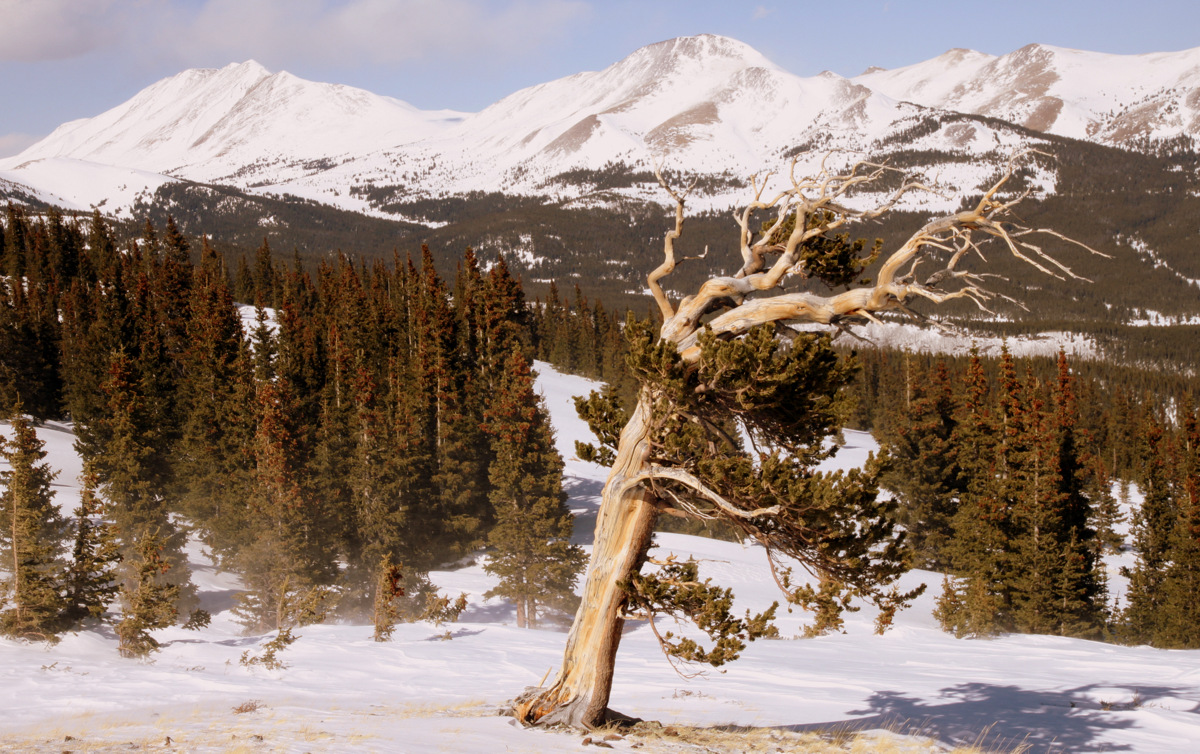
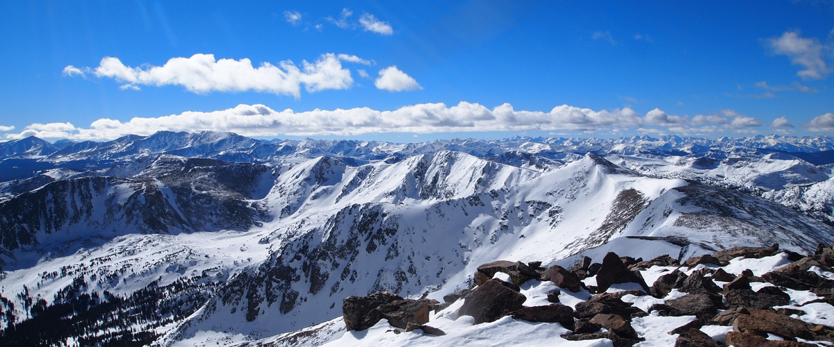
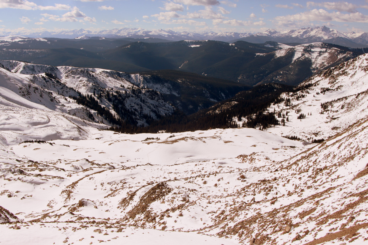
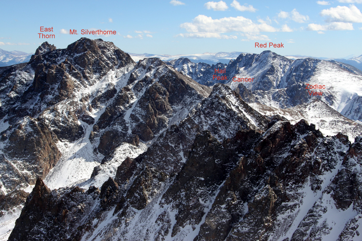
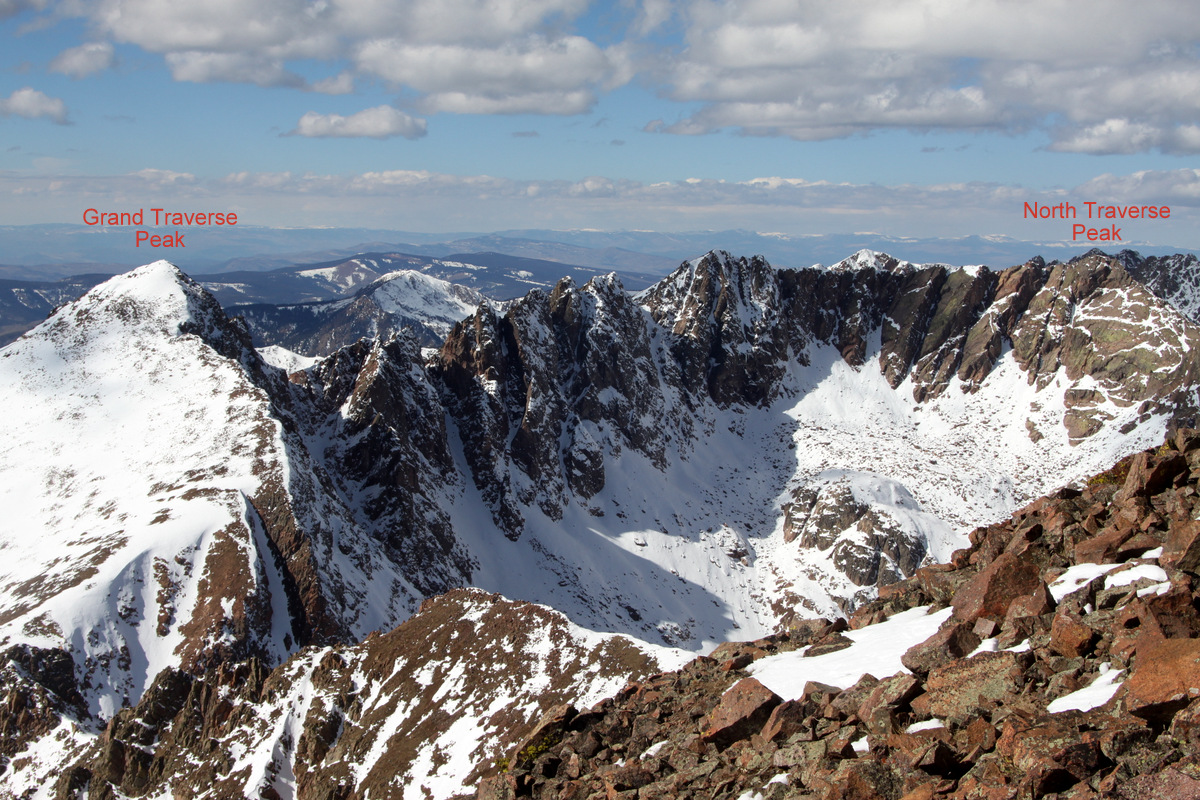
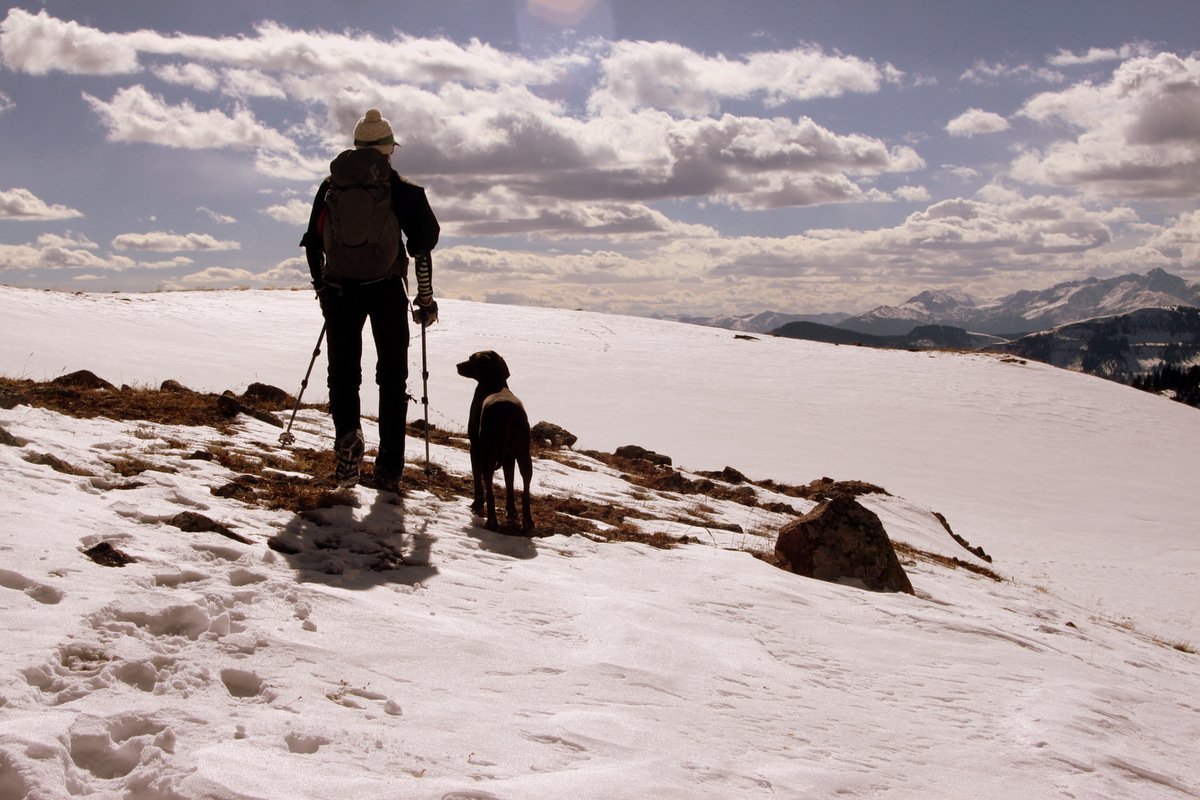
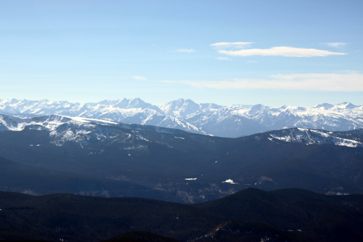
Gores to the north from Mayflower Hill’s summit
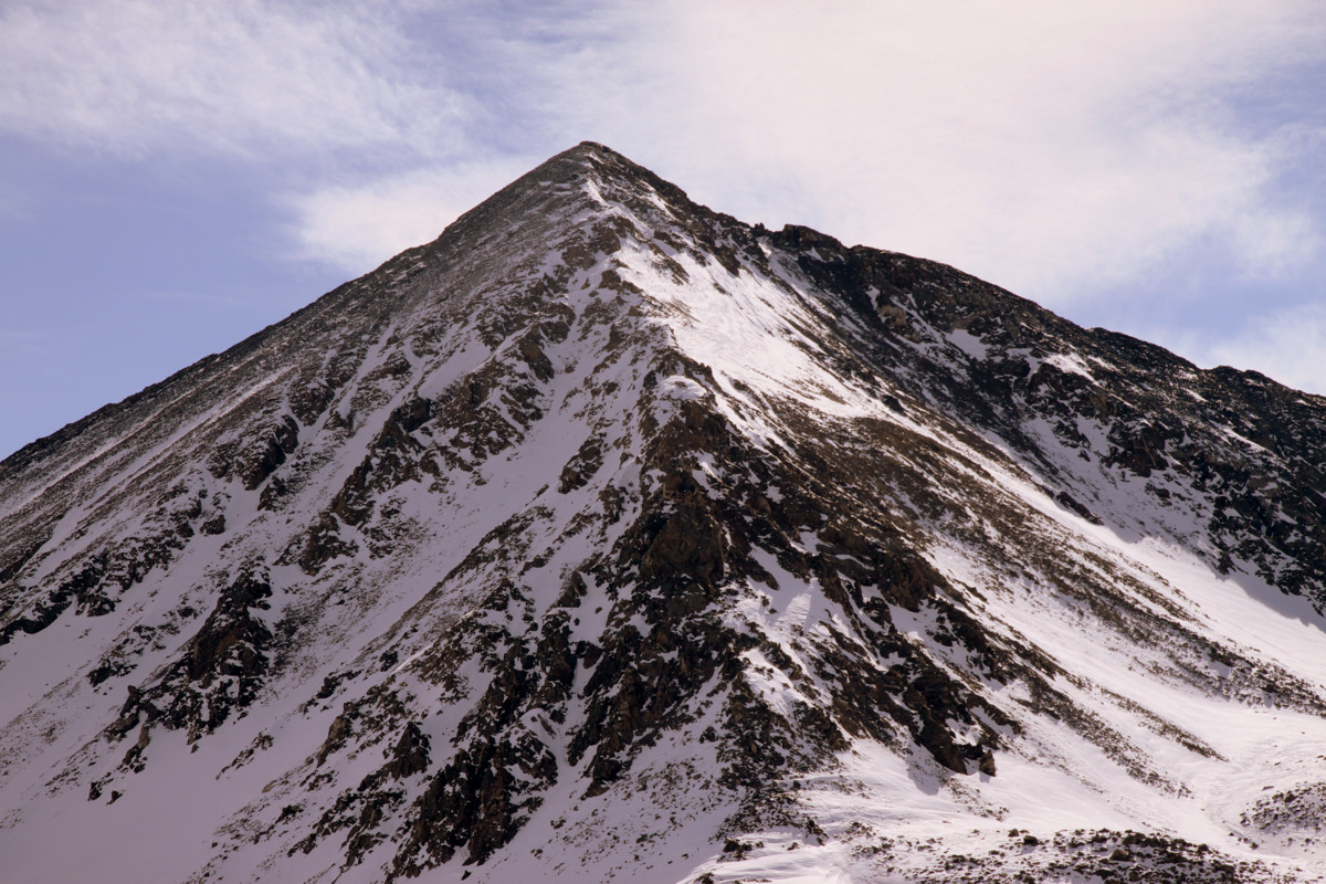
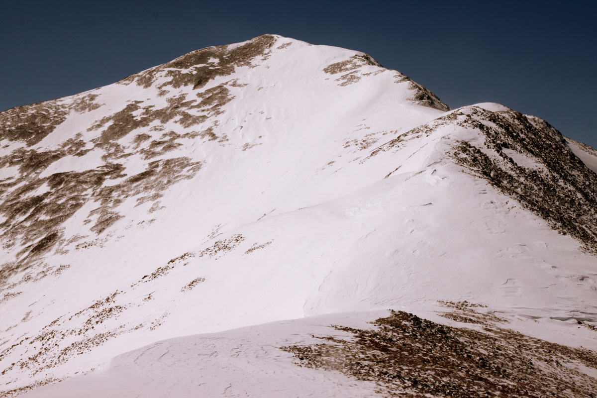
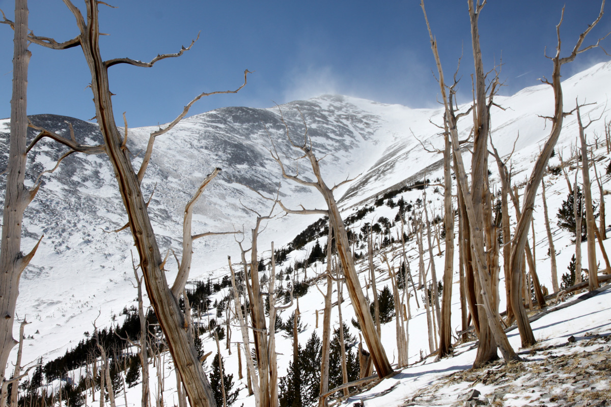
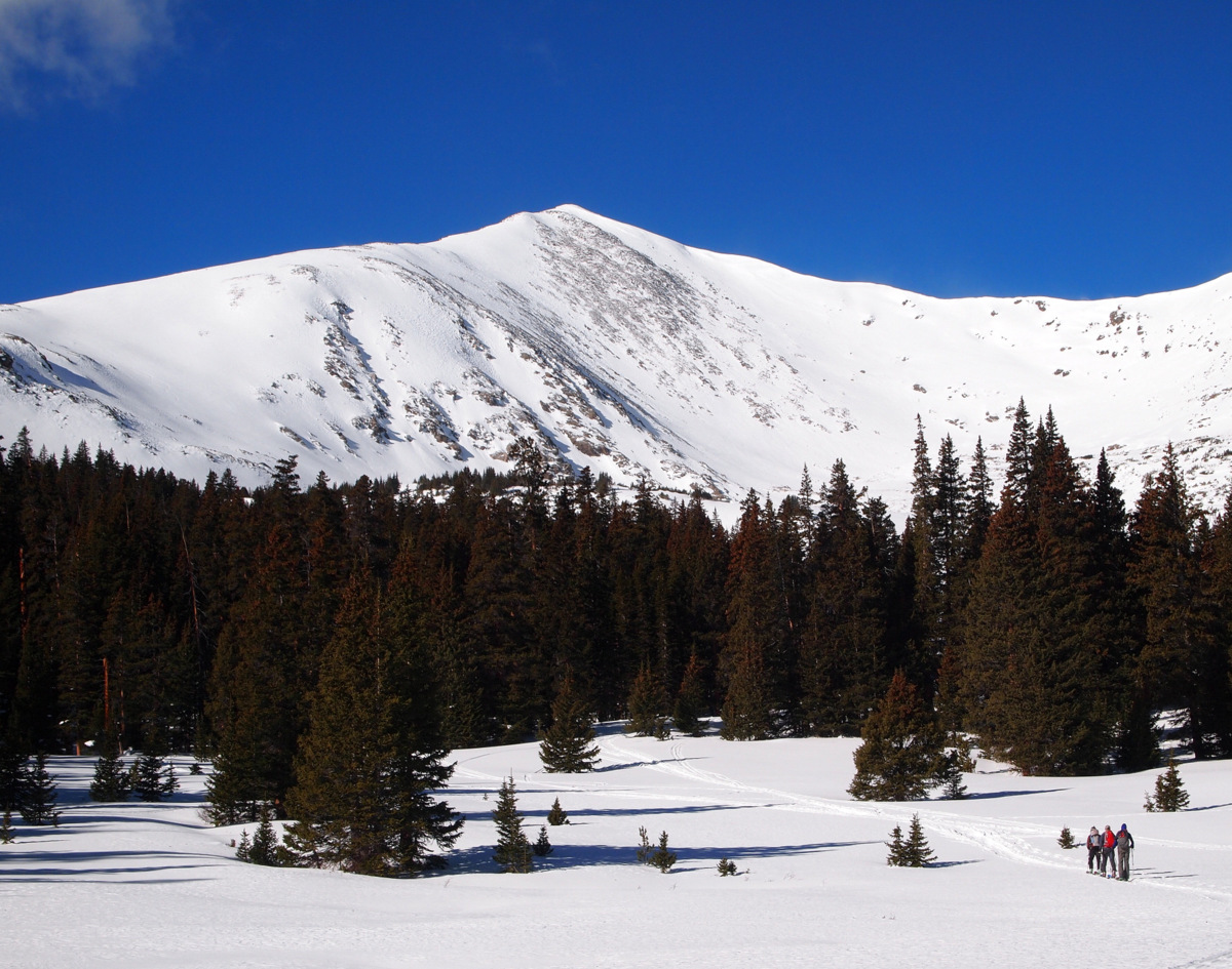
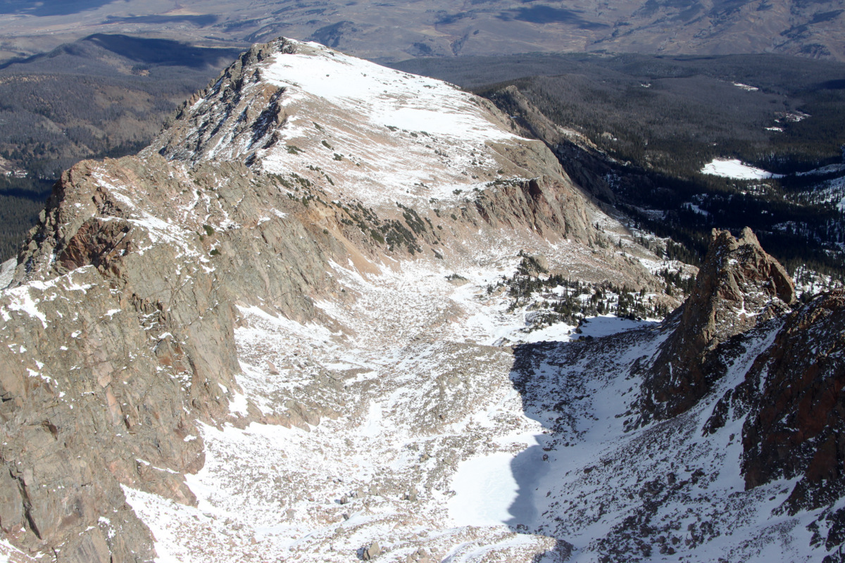
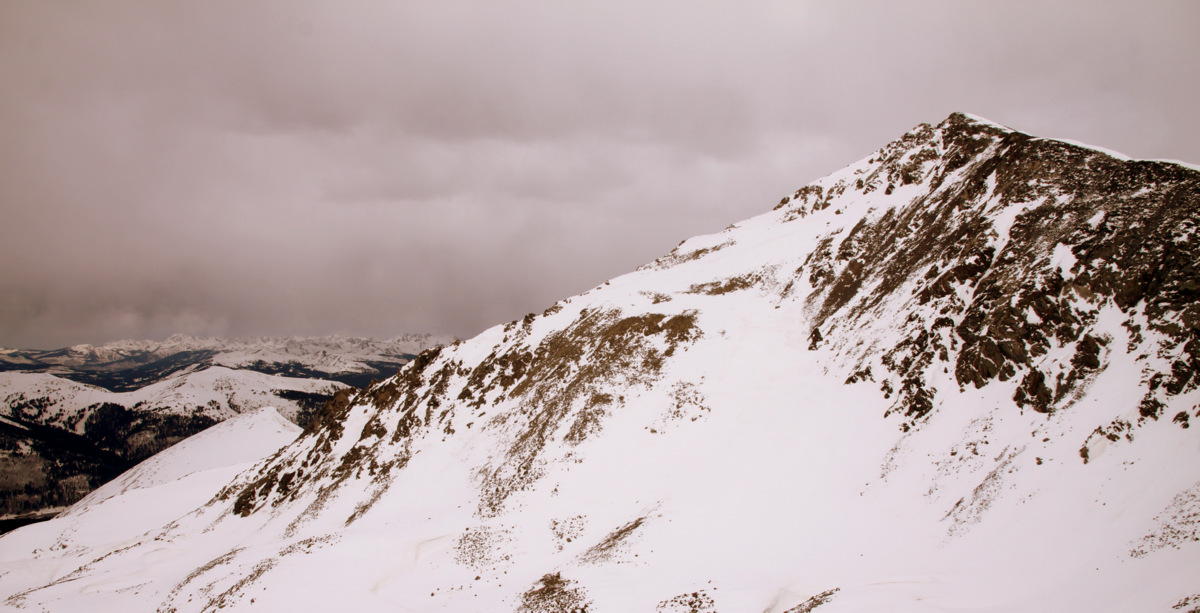
Pacific’s west ridge lies ahead
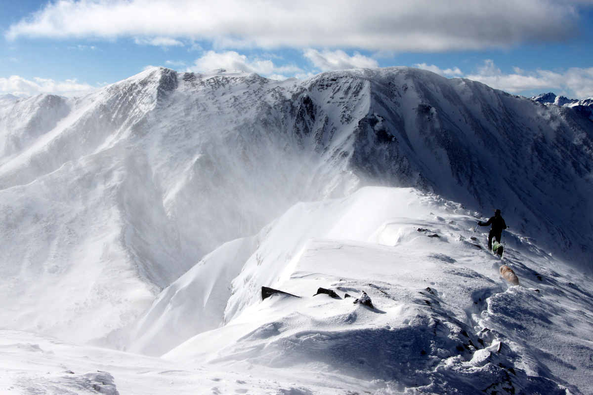
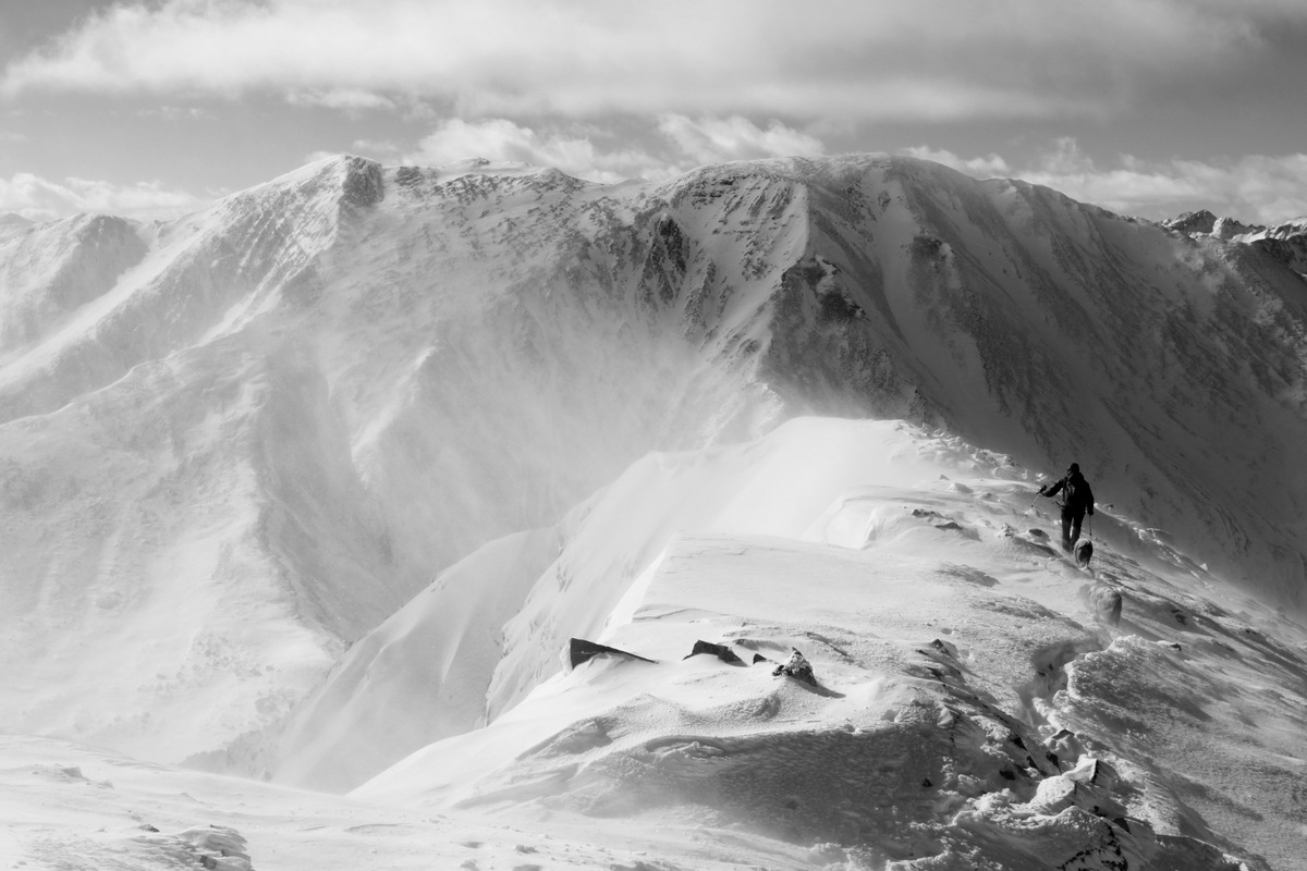
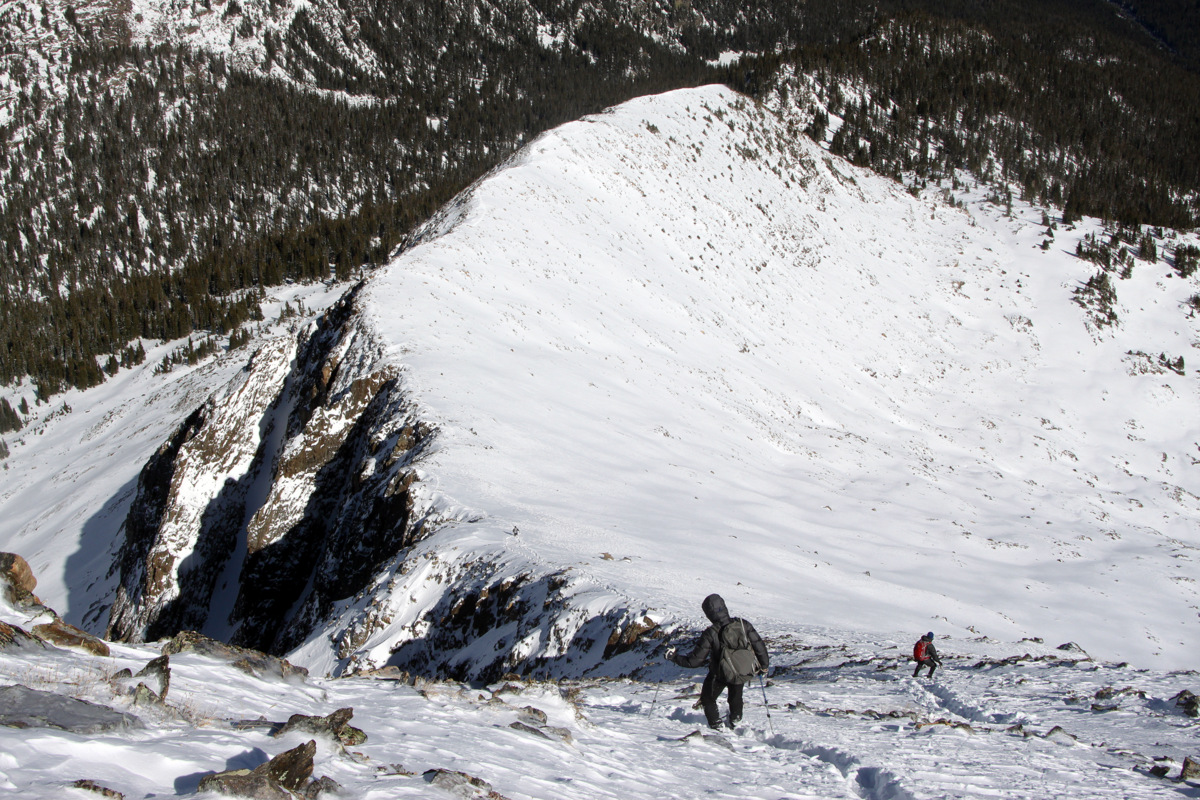
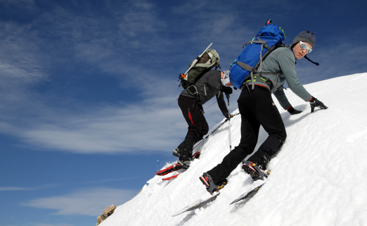
The descent down Mayflower Hill’s east ridge was some fun snowshoeing (bordering on extreme snowshoeing) and the positions encountered on the corniced ridge were fantastic.
Reid (left) & Jesse descending Mayflower Hill’s east ridge with Pacific’s west ridge looming ahead
Mayflower Hill’s steep north face
Extreme snowshoeing
Mayflower Hill’s interesting east ridge

Jesse descending the corniced east ridge of Mayflower Hill
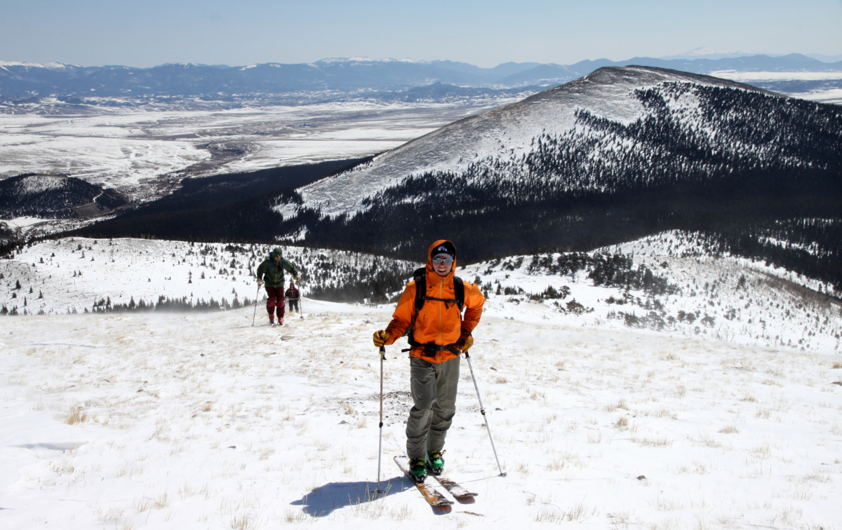
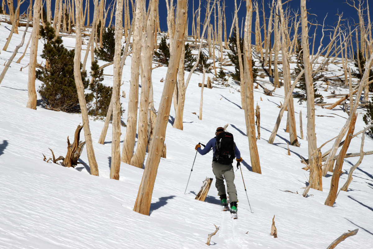
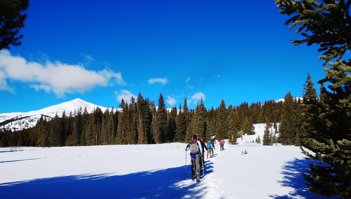
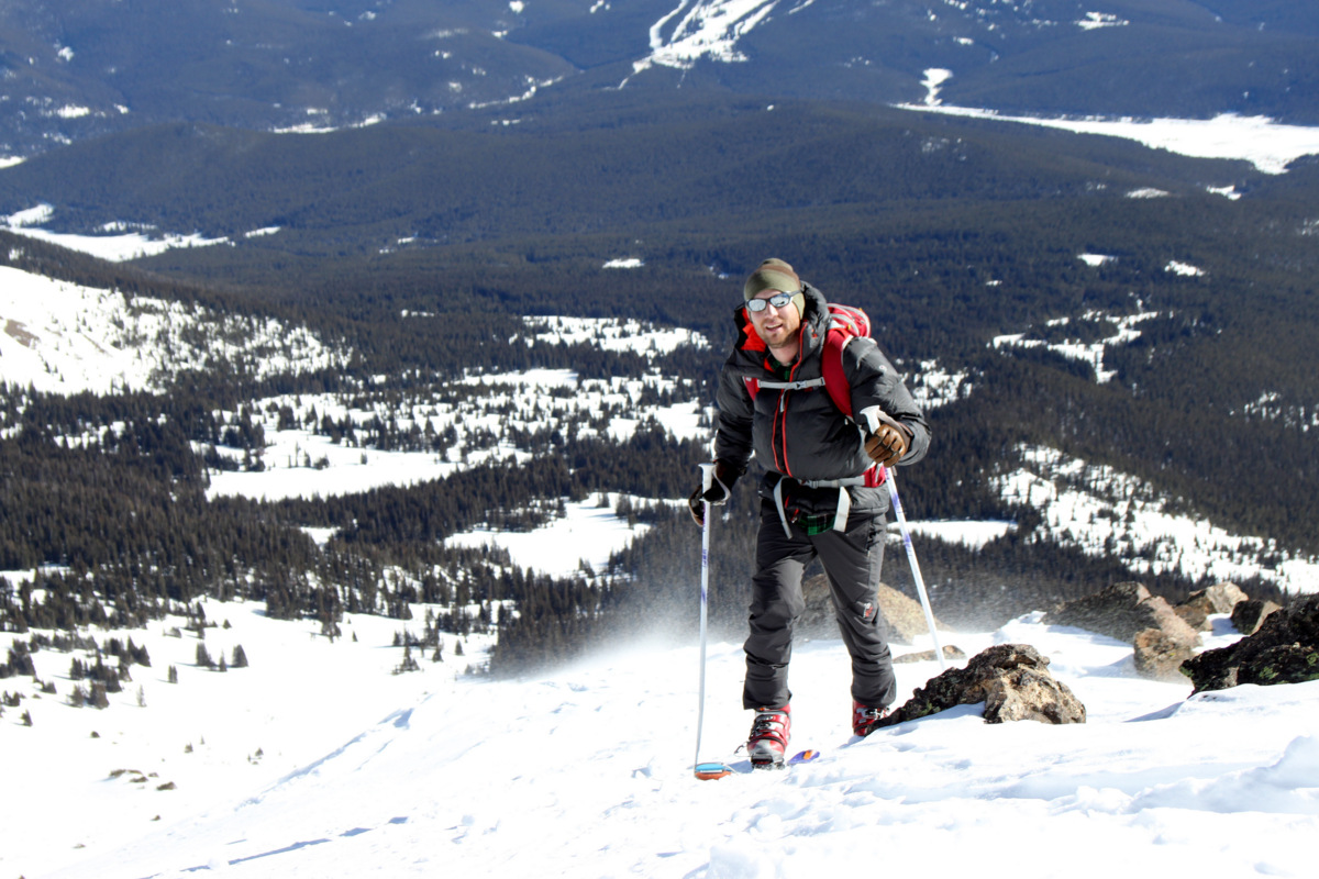
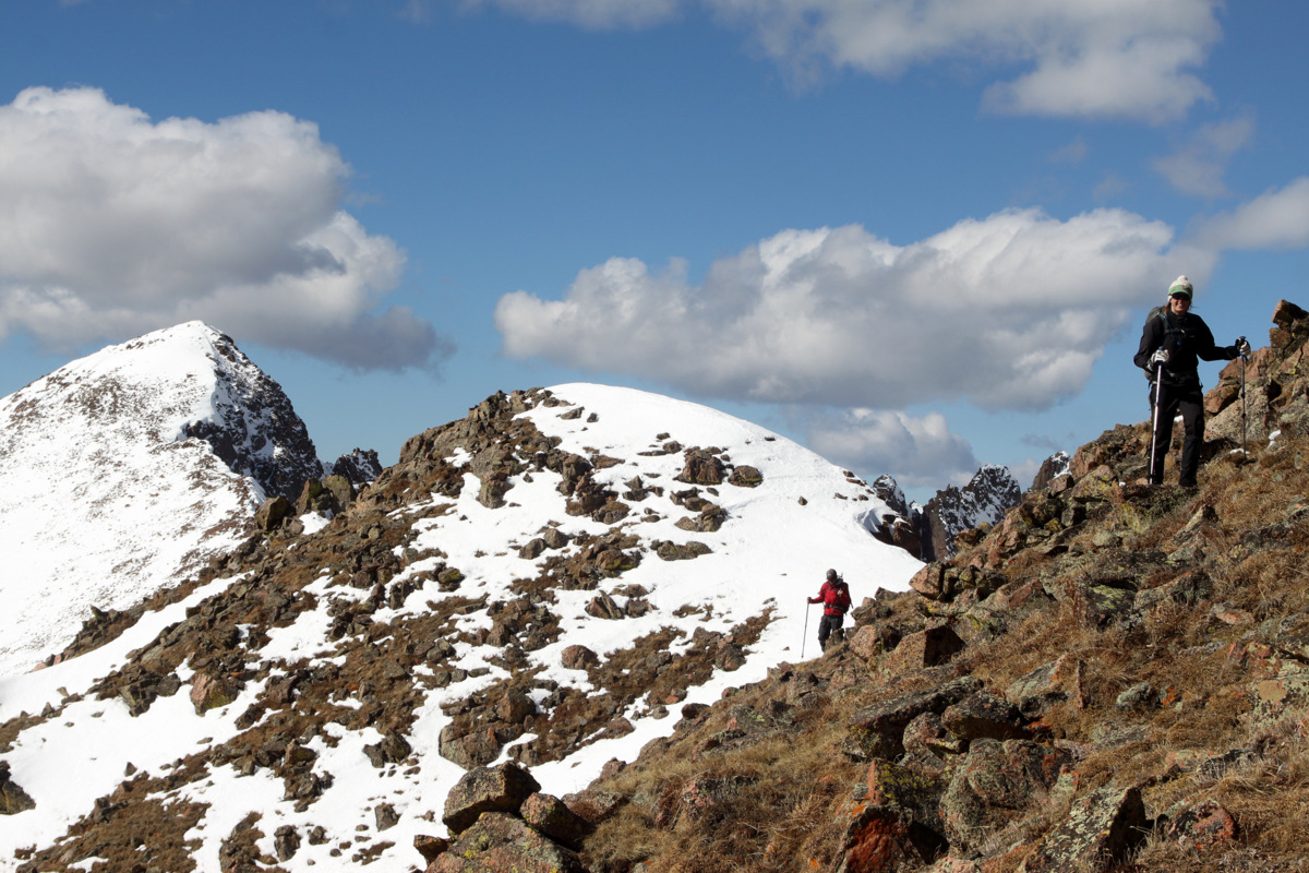
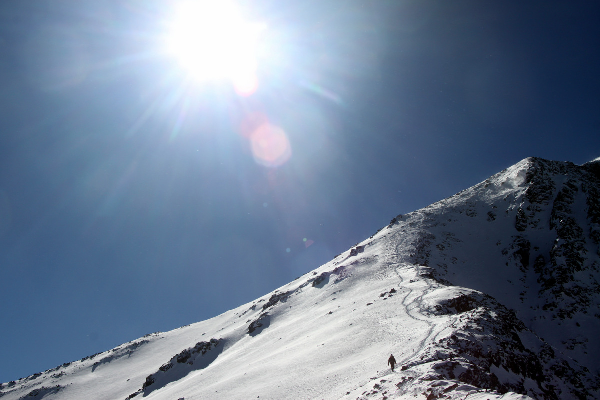
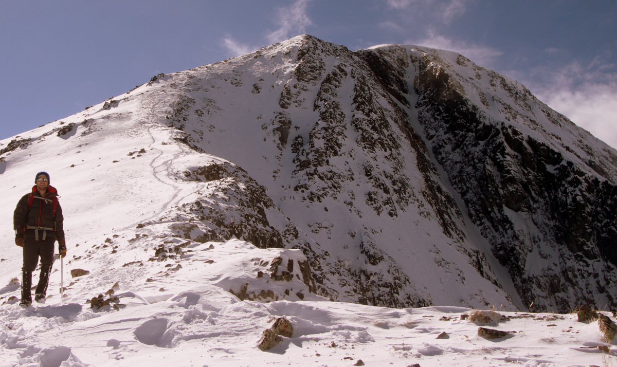
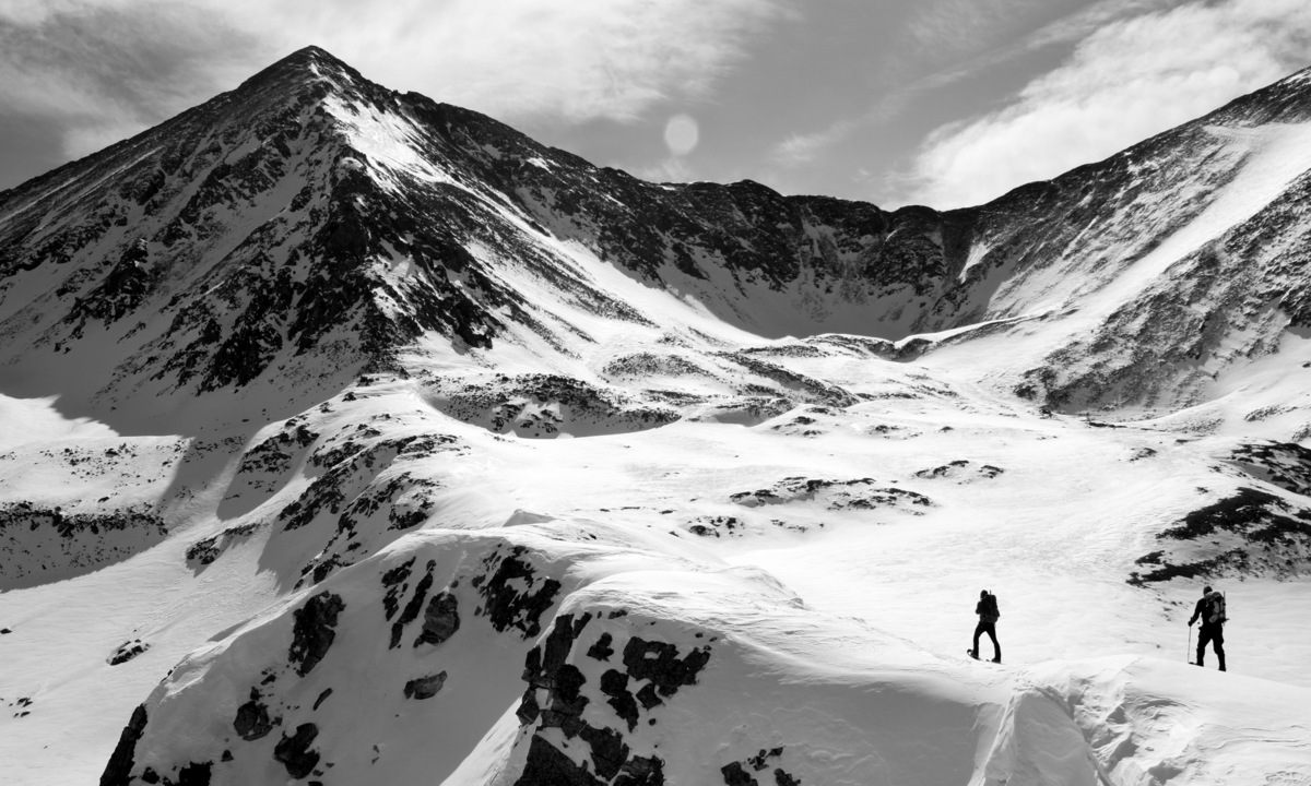
It was then an easy snowshoe up relatively mellow terrain to the base of Pacific’s west ridge. The weather was still pretty superb.
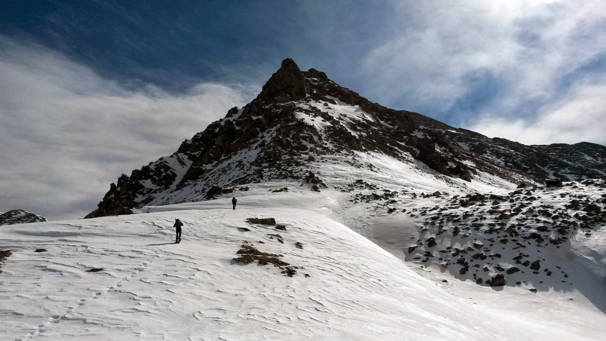
Reid & I approaching the west ridge
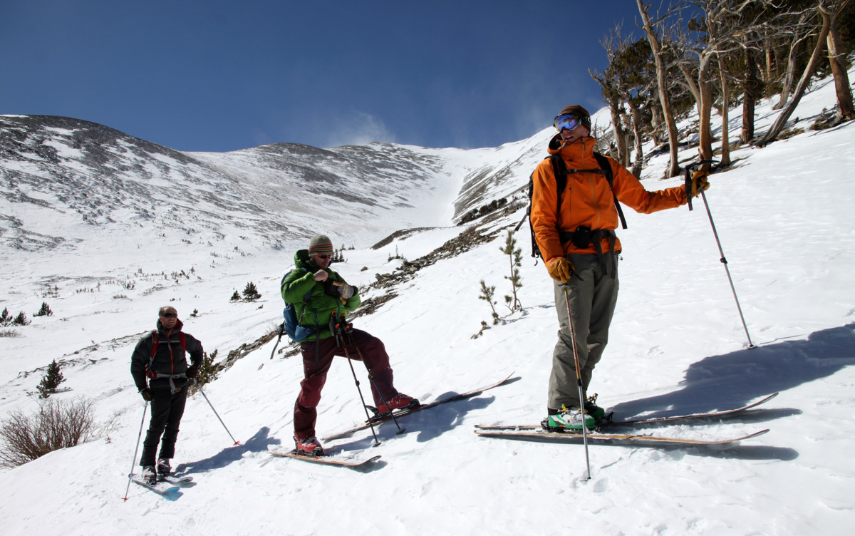
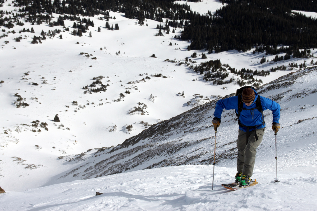
Once at the base of the west ridge we stashed our snowhsoes on our packs, put our helmets on, and grabbed our ice axes. No crampons yet as the snow was fairly soft for kicking steps.
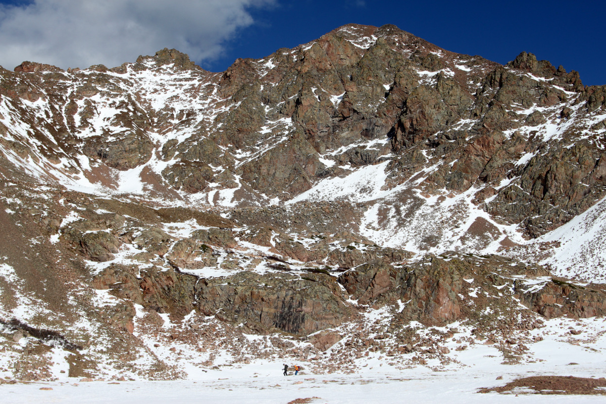
Base of the west ridge
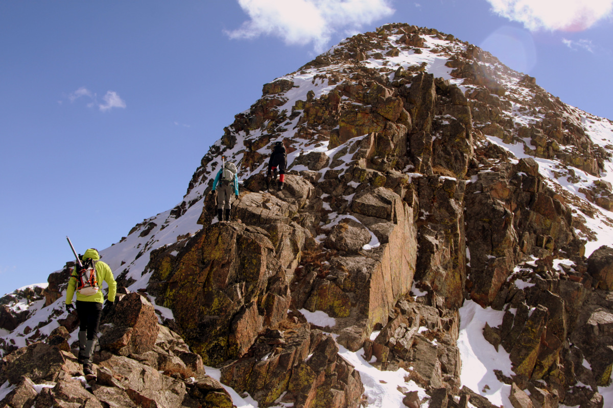
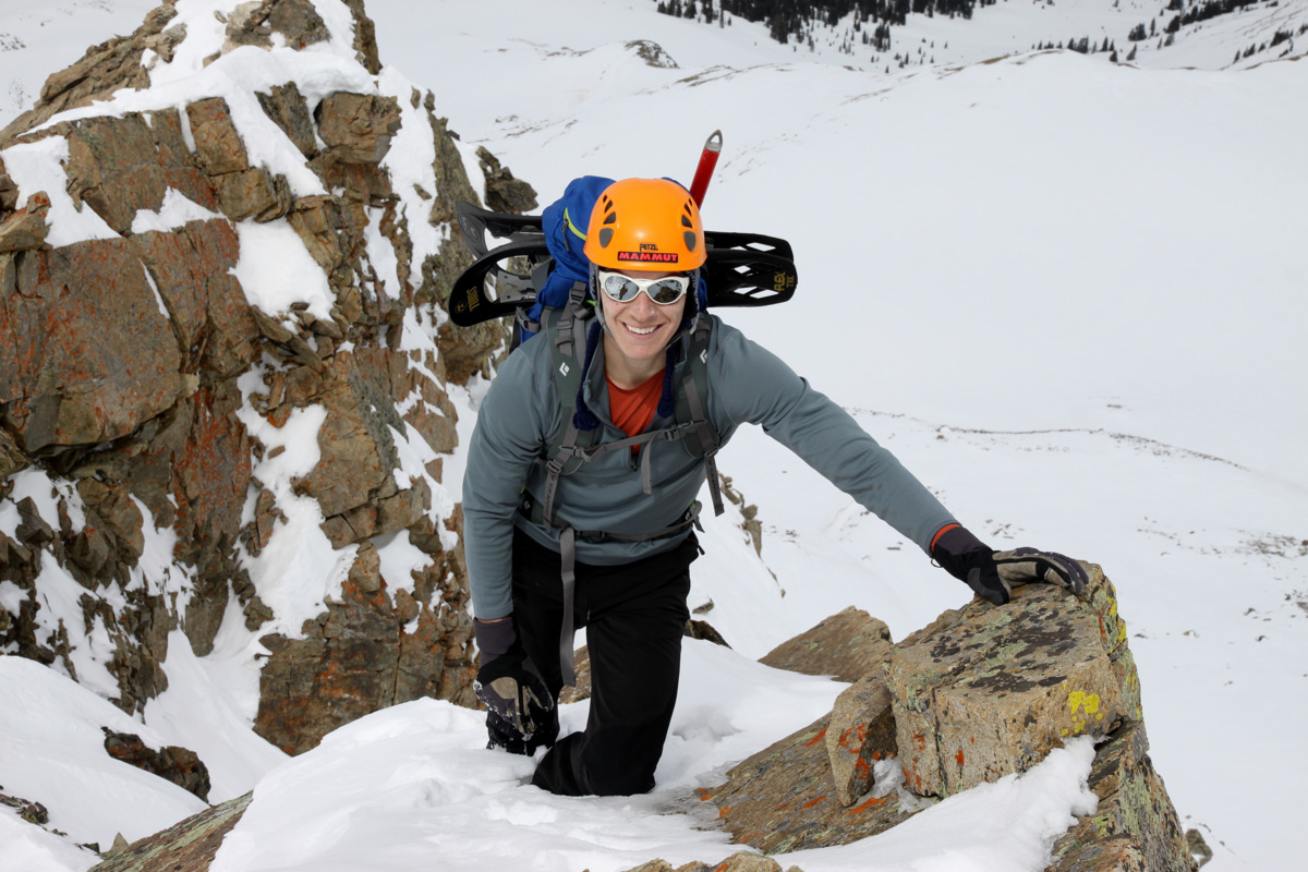
We made our way up the initial steep slopes to the base of the largest tower on the ridge proper.
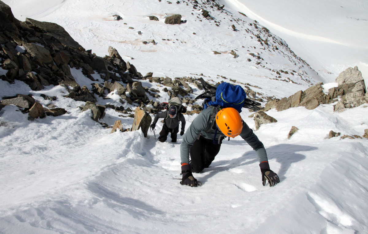
Beginning the climb up the west ridge
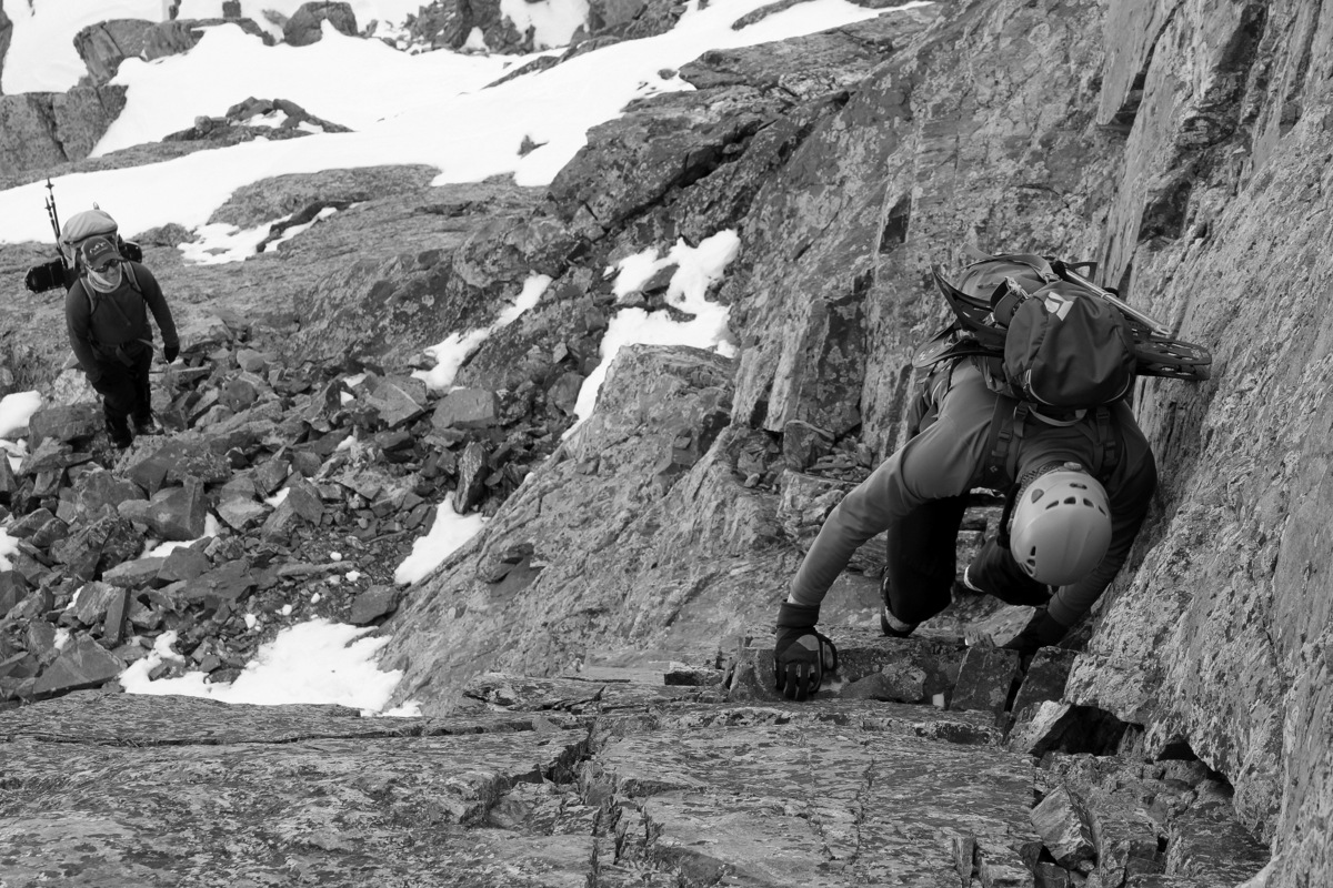
The typical route up the class 3 west ridge bypasses this tower on its right (south) side, but Reid had read of a class 4 variation up the tower proper which led to some easier 5th class terrain. When I can, I always love taking the ridge proper and climbing these towers. I feel its good practice and this tower would definitely not disappoint especially in my Koflach mountaineering boots. Reid & Jesse followed me a bit to the left (north) to reach the base of the tower proper and discovered a great looking class 4 dihedral which led to a small ledge after about 30 ft. Climbing up the dihedral was tons of fun and I waited for Reid at the ledge trying to point out holds for him while he climbed up below me.

Me looking down at Reid climbing the class 4 dihedral. Photo by Jesse

Reid starting up the class 4 dihedral with Jesse below
Reid
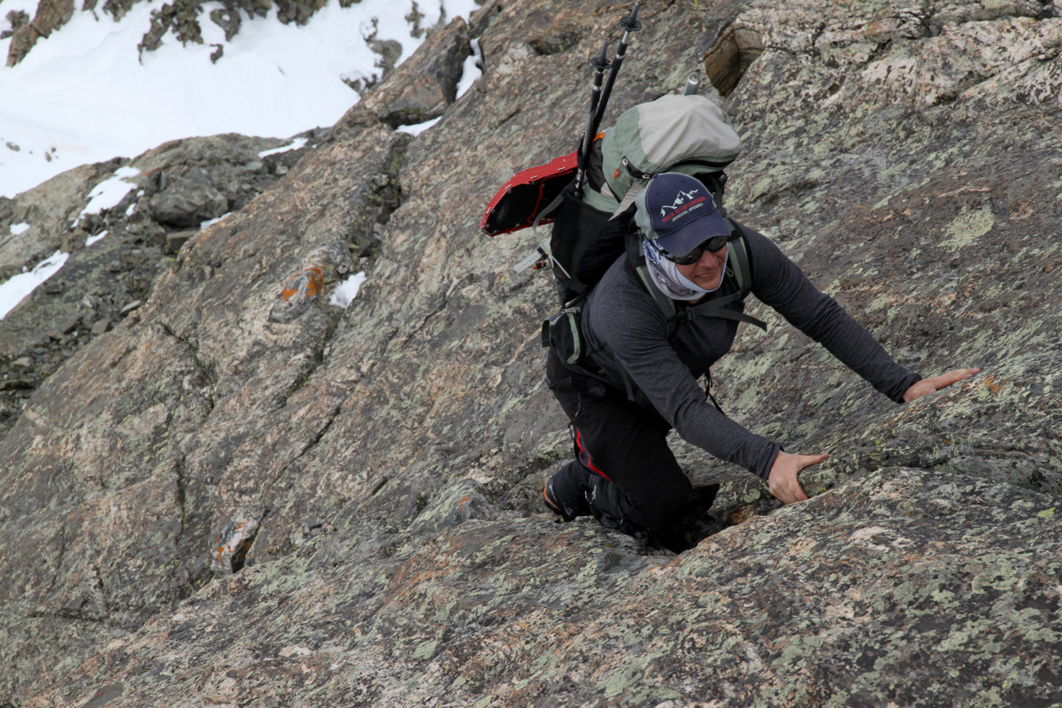
Above me was then a very nice looking crack (hand-size) that went for another 30 ft or so and then looked like I could exit right onto a small ledge. This hand crack was mostly class 4. However, I would bet a few moves towards the top were low 5th class. The climbing in mountaineering boots definitely made things a bit spicy as well.
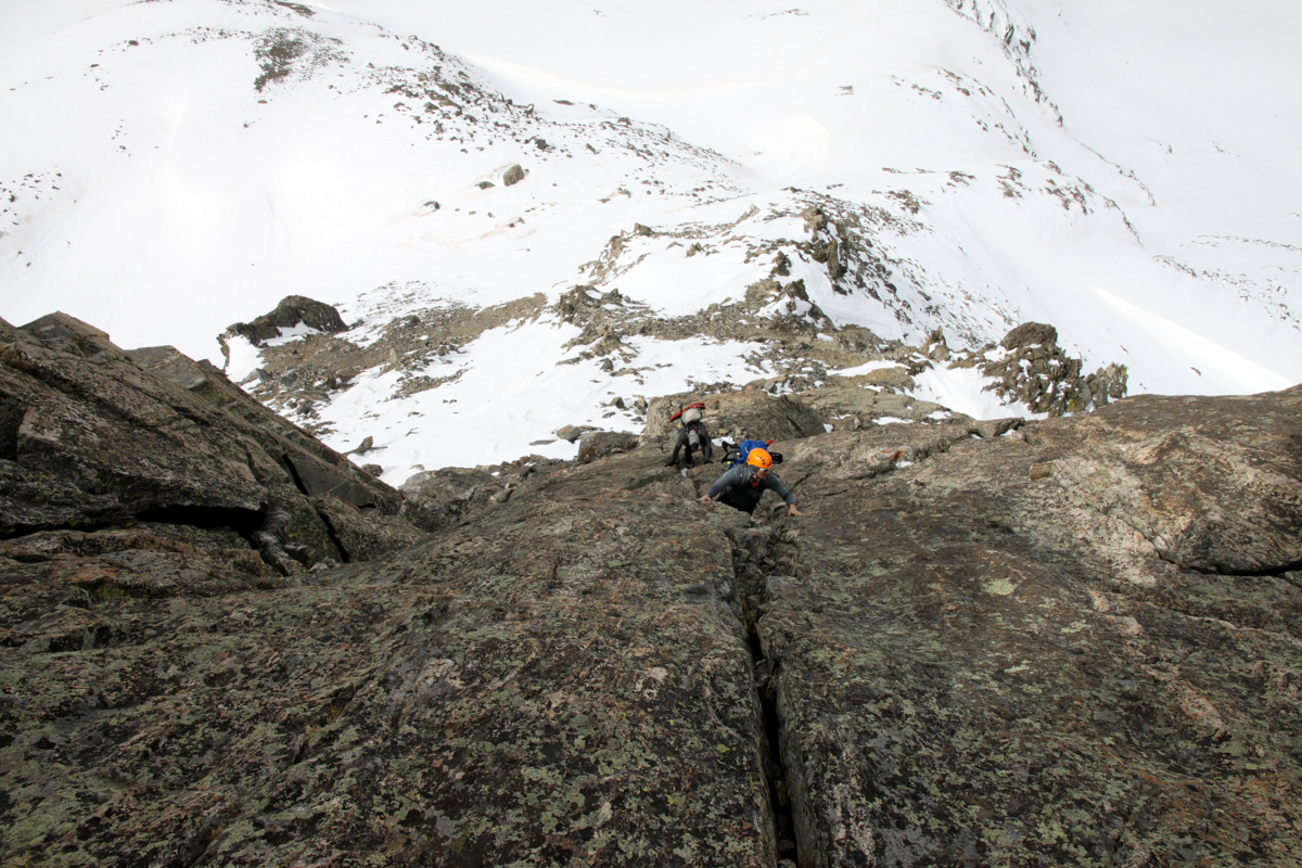
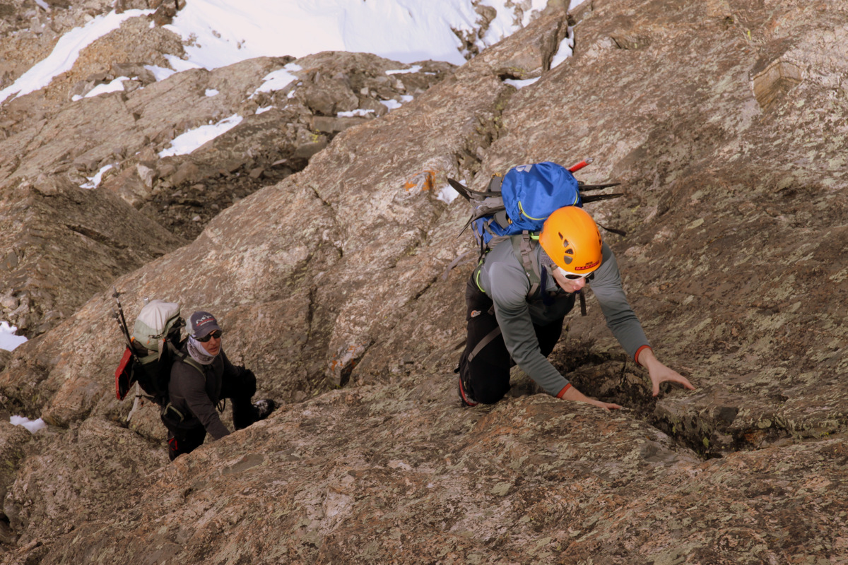
Reid & Jesse making their way up the low 5th class hand crack above the class 4 dihedral
Me up top and Reid behind me in the hand crack. Photo by Jesse
Reid (front) and Jesse
A better profile of the 4th class/low 5th class hand crack from above
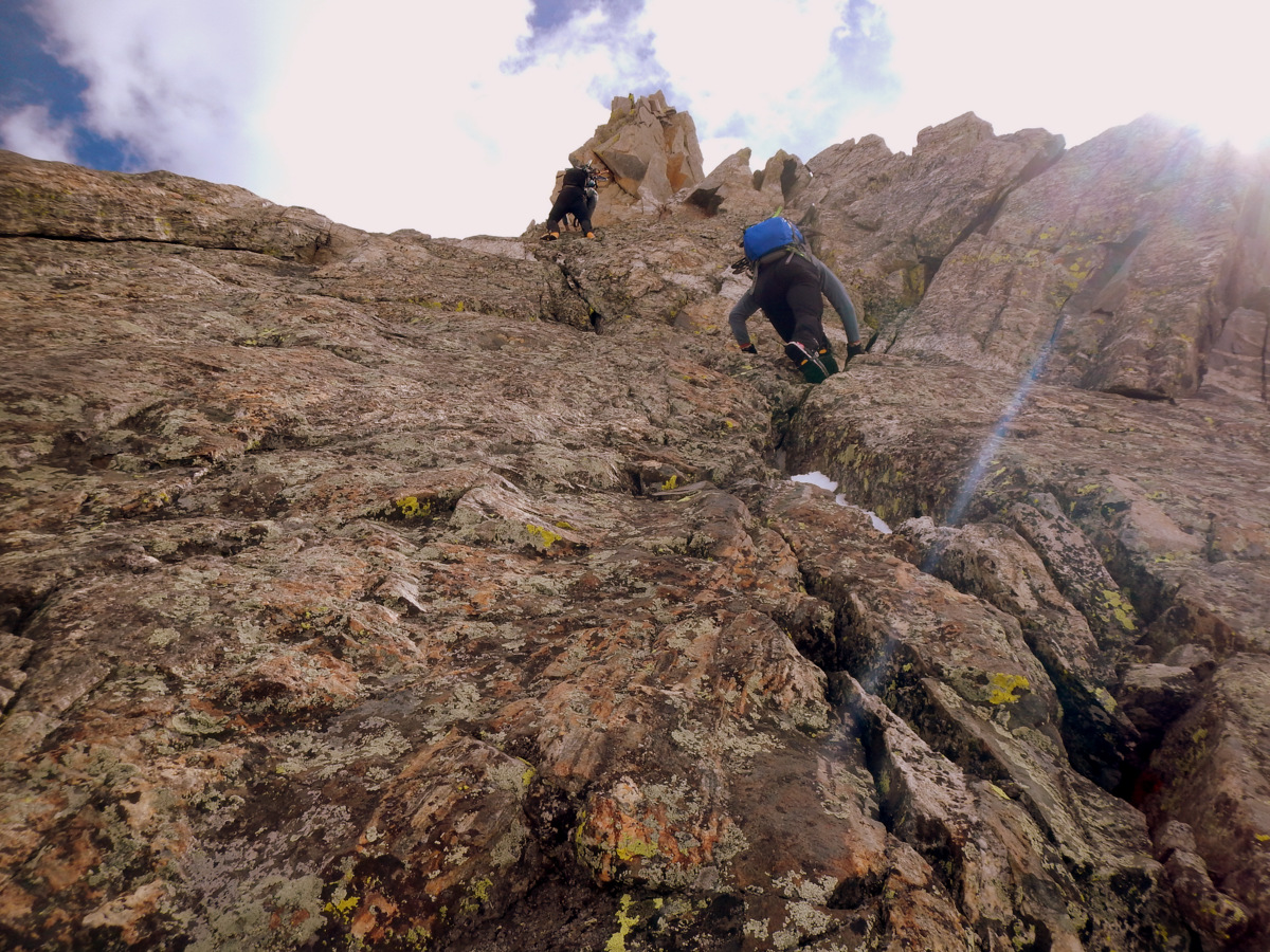
The boys climbing up the hand crack
Reid in the low 5th class section of hand crack as seen from the small ledge
Jesse cruising
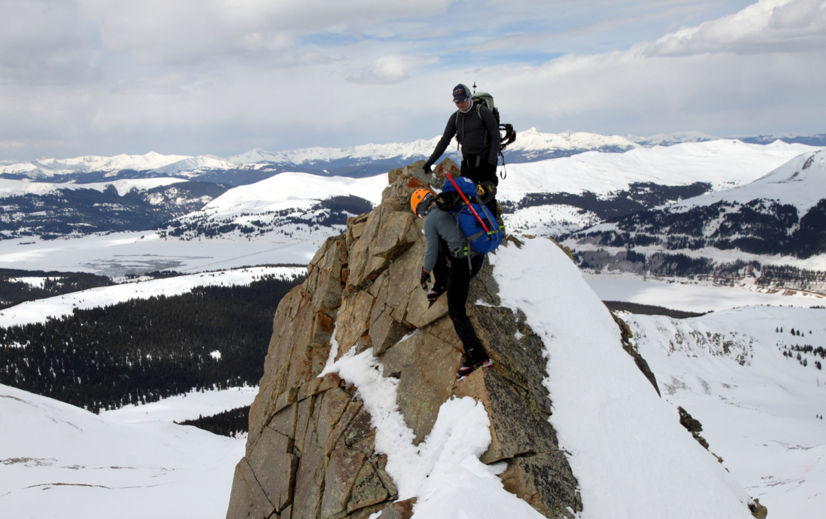
Sure enough, we were able to exit the hand crack to the right and scramble our way up much looser rock to the ridge proper. It was then a delicate scramble for 10 ft across pretty loose rock with significant exposure to both sides. I chose to attack the ridge proper head-on and after some 5th class moves, topped out on the tower. We noticed a somewhat easier and likely safer route to the ridge’s south side, which Reid and Jesse followed up to me.

Me on some (unnecessary) 5th class moves to top out on the large tower. Easier terrain leads around to the right to reach the high point of the tower. Photo by Jesse

Reid coming around to the top of the tower

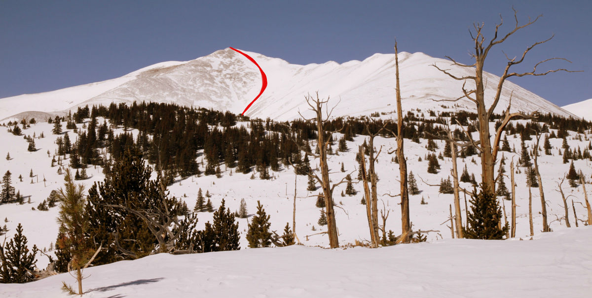
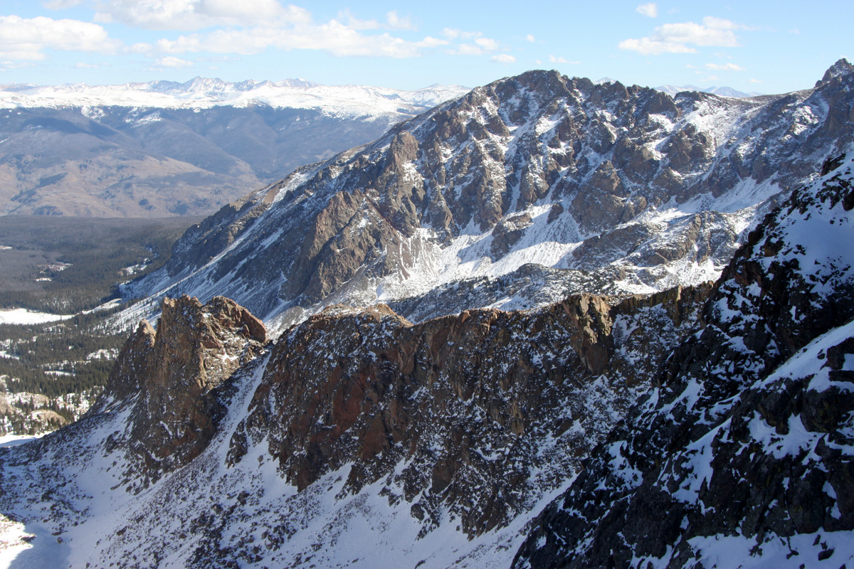
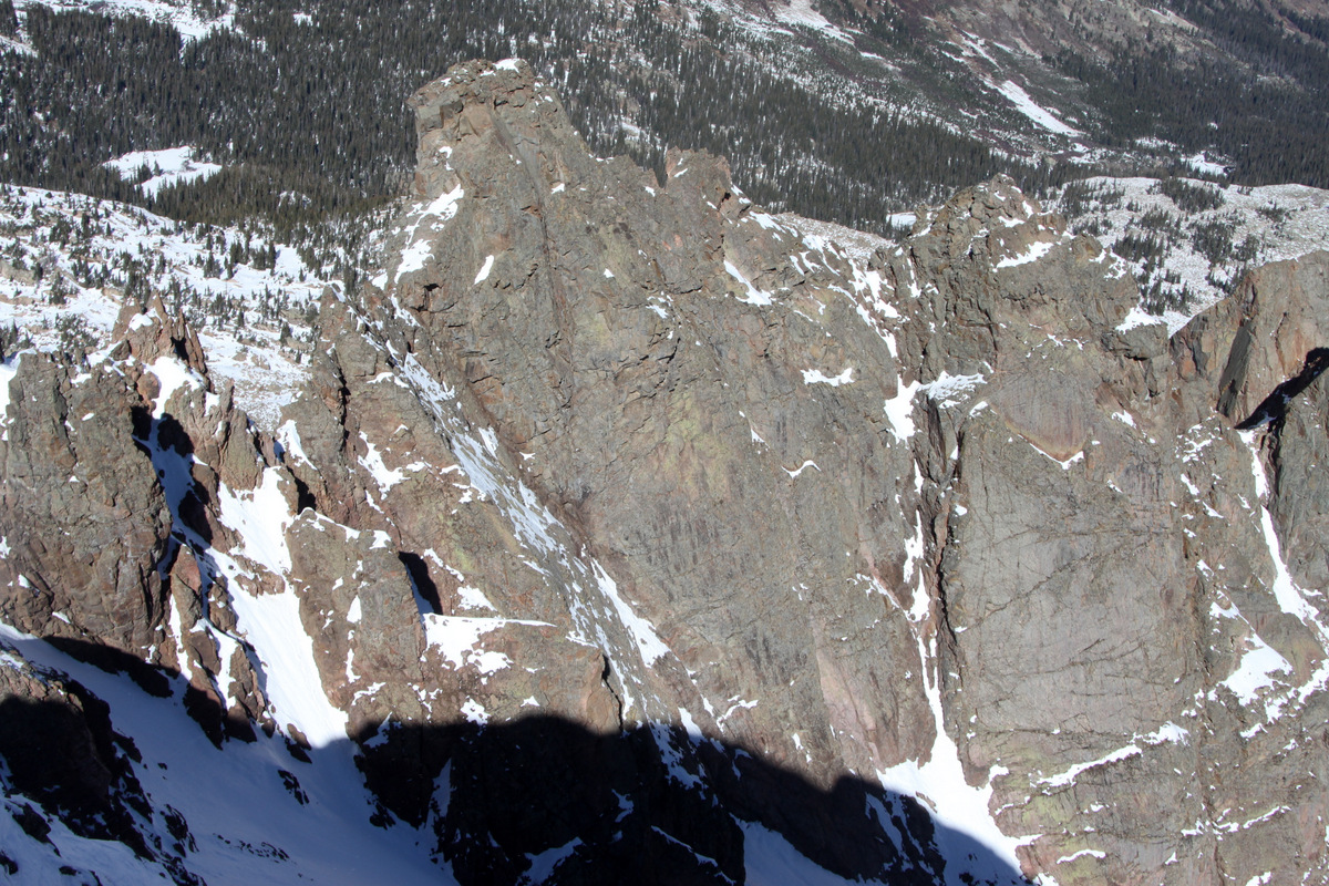
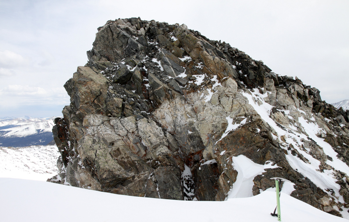
Our route shown in red up the large tower. The initial class 4 dihedral is denoted by the dotted red line as it cannot be seen from this vantage point. The easier and safer final section to reach the top of the tower is shown in green. Photo taken on our descent in the Pacific Creek drainage
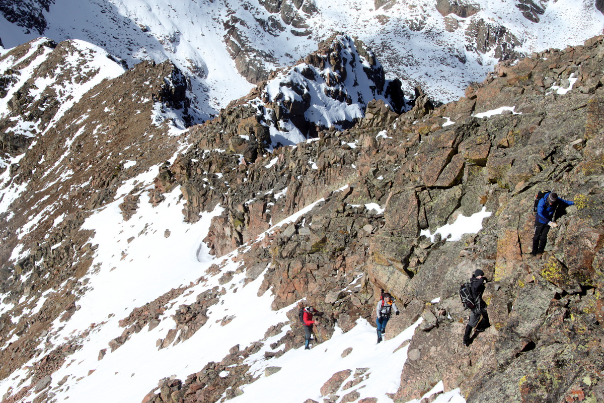
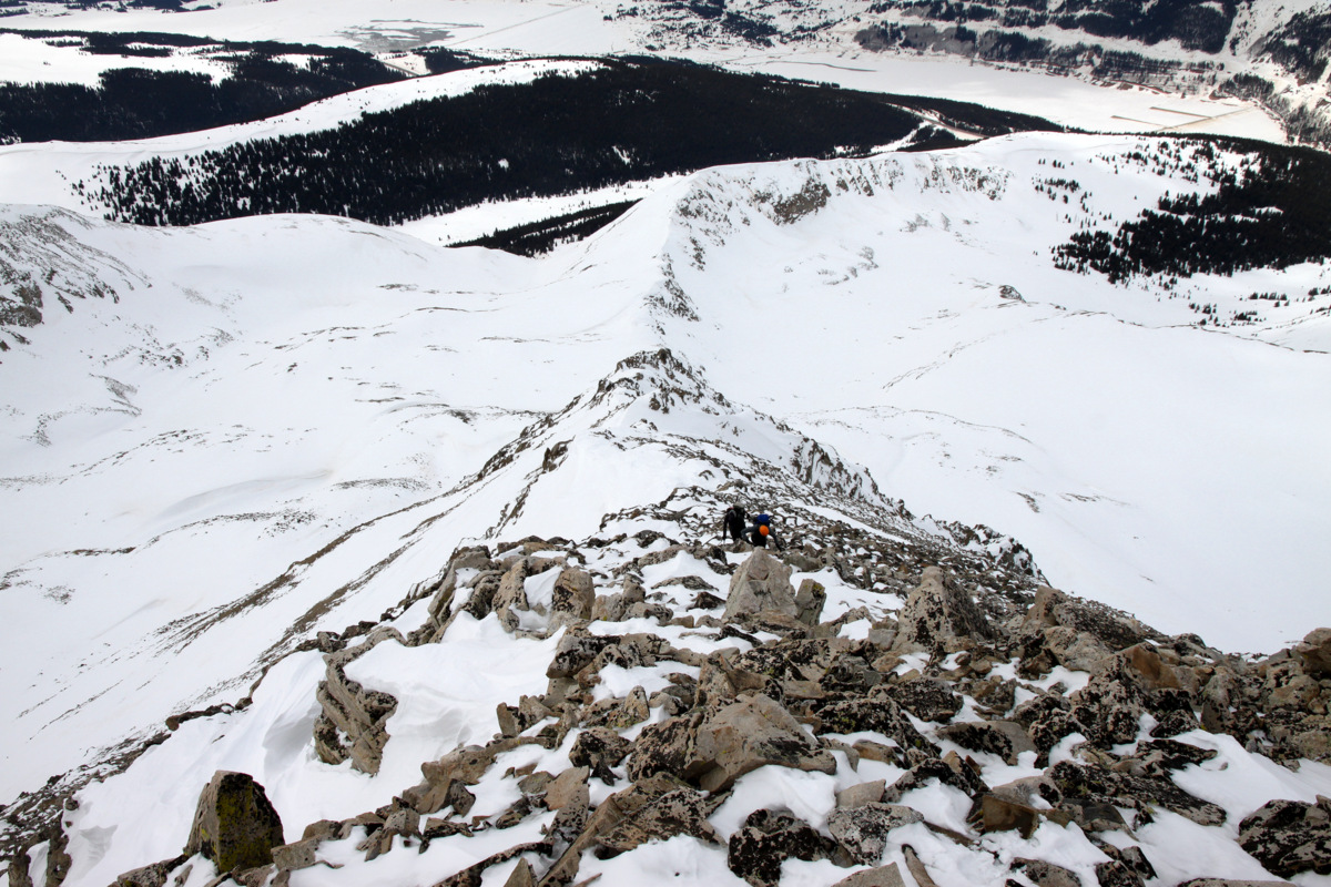
There were still a few 5-10 ft tall gendarmes ahead, but as they didn’t look stable at all to climb (we could see air underneath them), we exited off the top of the tower to the right (south) side down a class 3/4 ramp.

The exit ramp off the large tower to the south side with the seemingly unstable gendarmes to the right of the boys in this picture

Climbing back up to the ridge proper
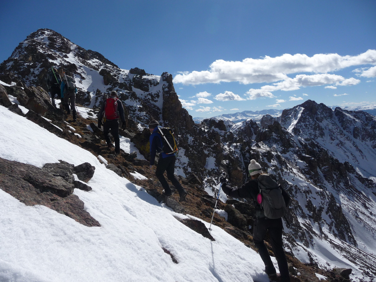
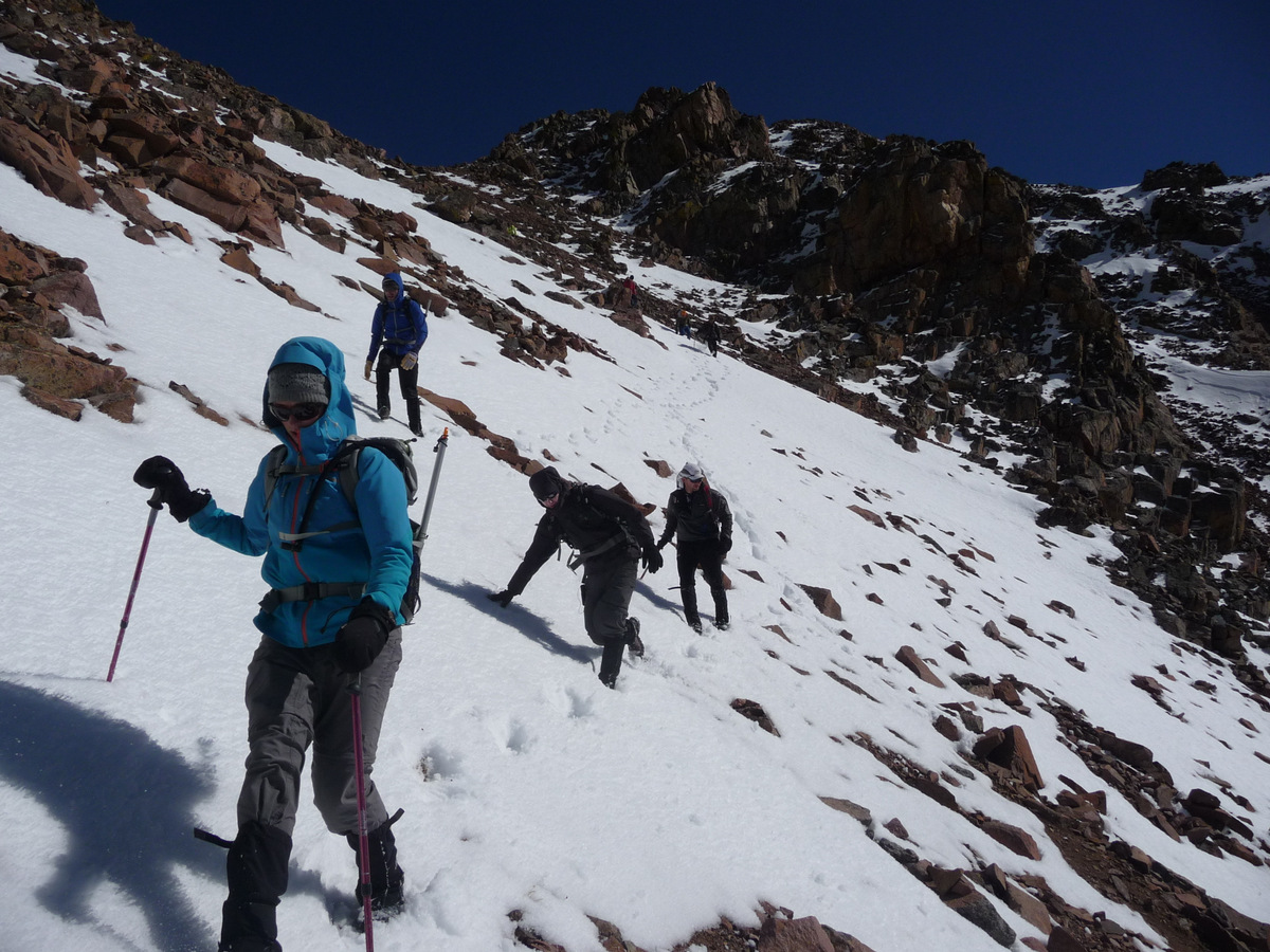
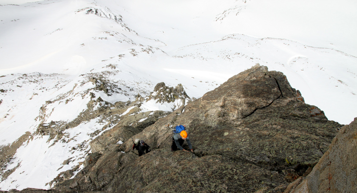
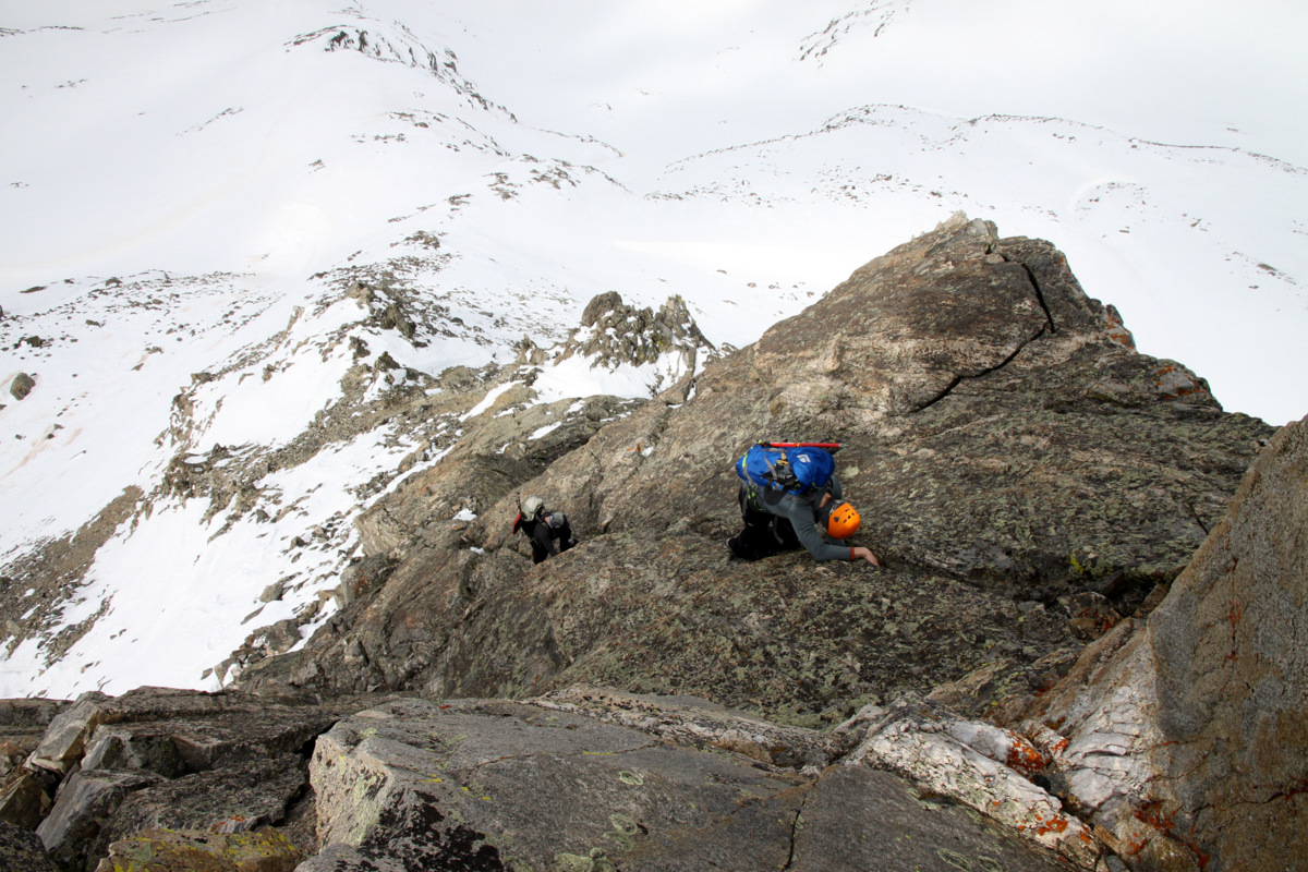
With the difficulties behind, the ridge continued to present a few class 3 rock sections of scrambling interspersed with fun snow ridges and steeper snow slopes. It was really fun and exciting ridge climbing all the way up to the false summit. We never felt the need to put the crampons on, though in icy or firmer snow conditions we definitely would have.
Climbing the west ridge with the top of the large tower below to the left

Jesse with Mayflower Hill down below behind him
Reid
There were several fun and interesting points along the ridge we needed to climb up and over

Mellow snow ridges

And steeper snow slopes

The weather was still holding for us
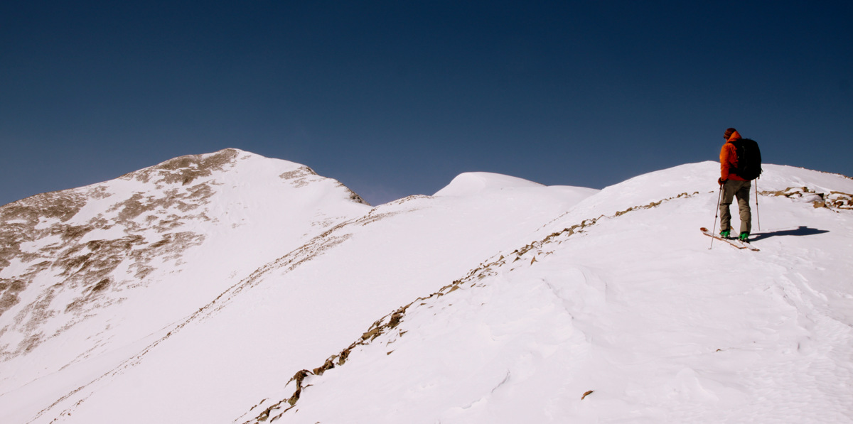
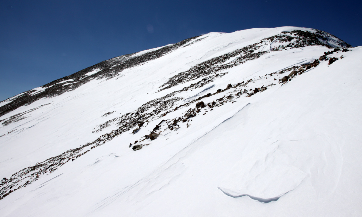
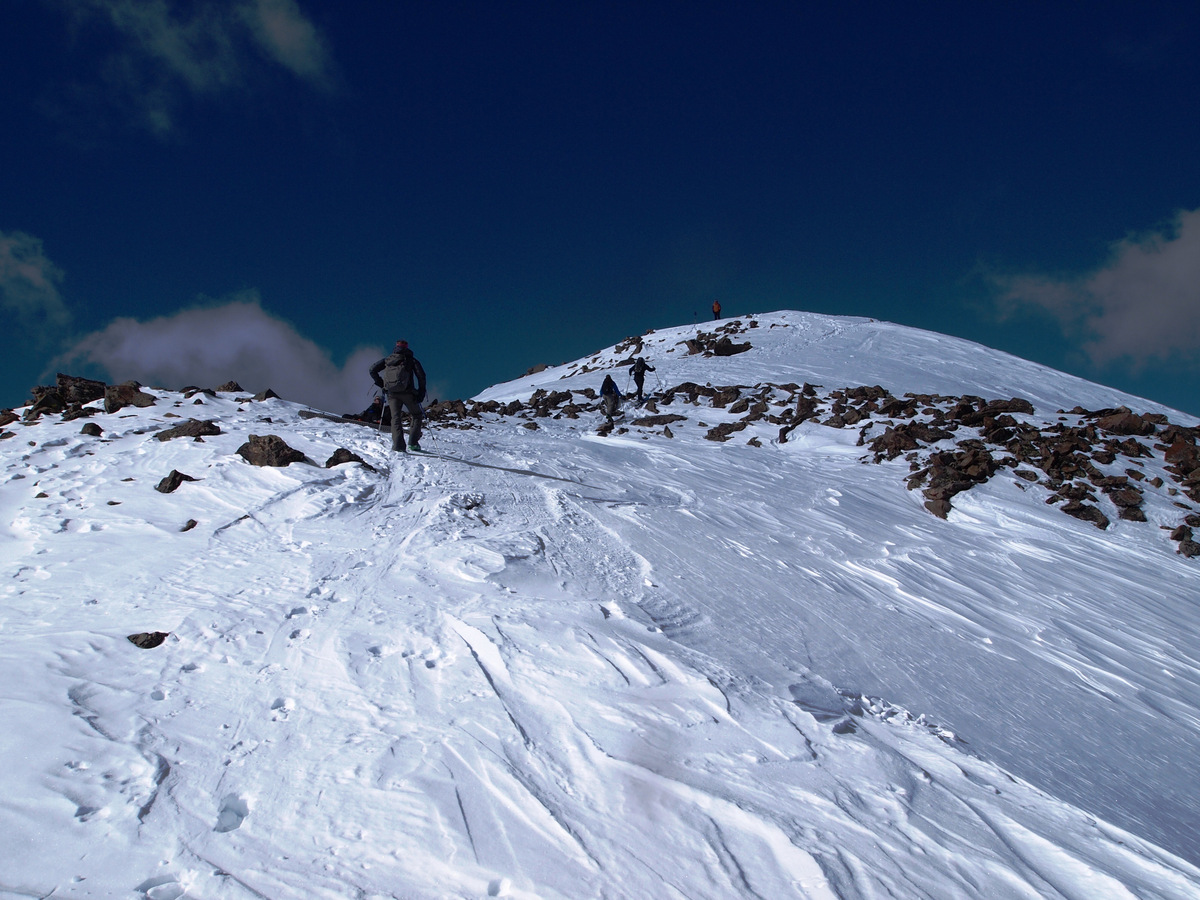
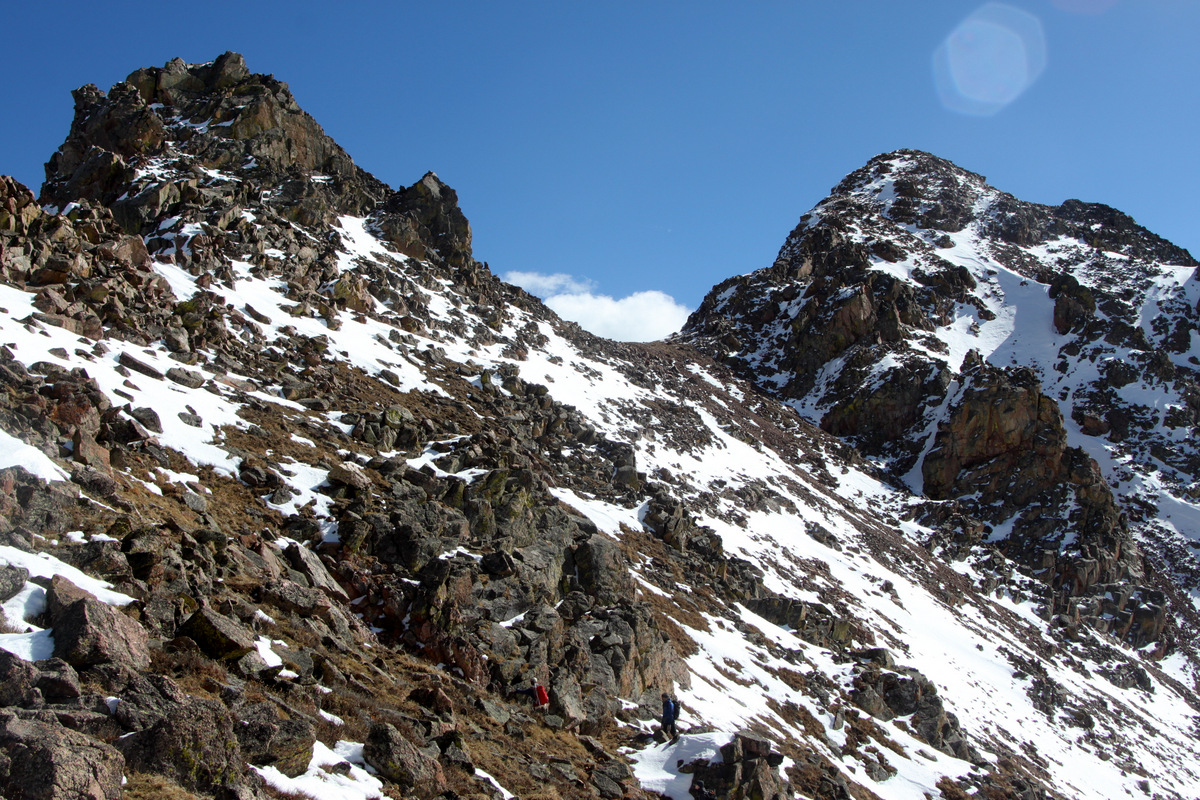
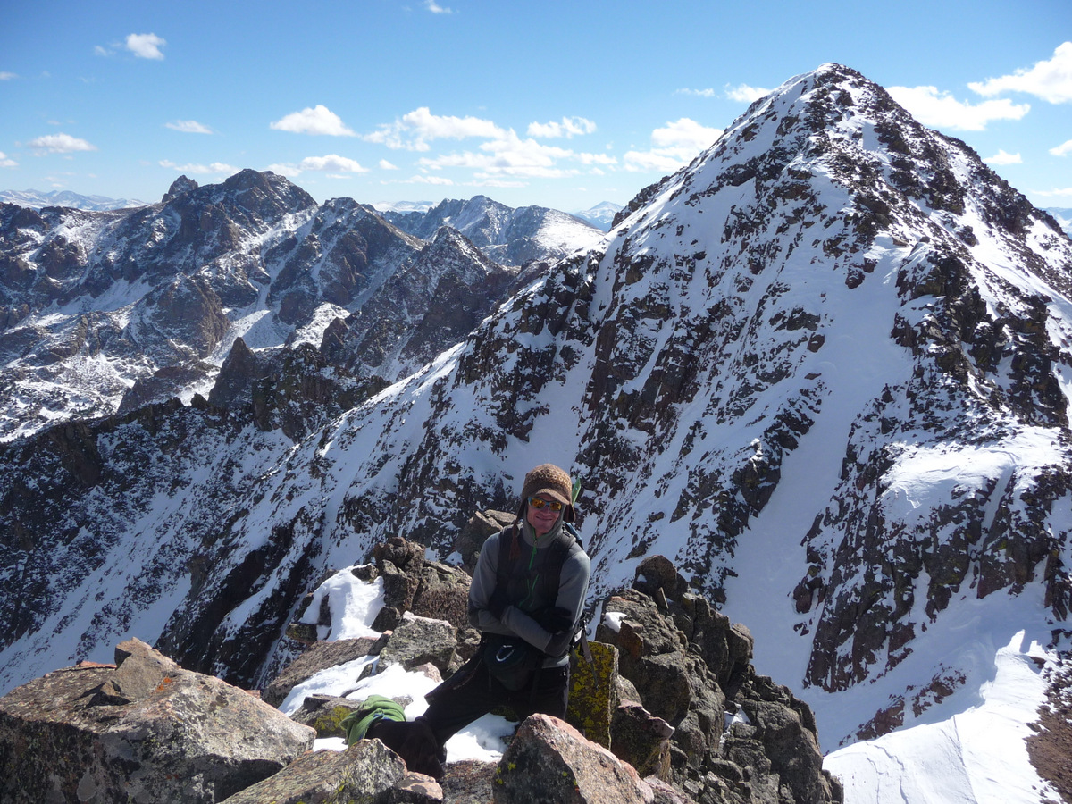
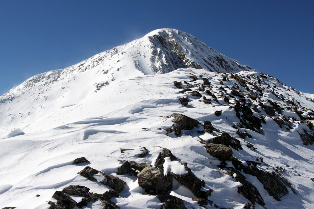
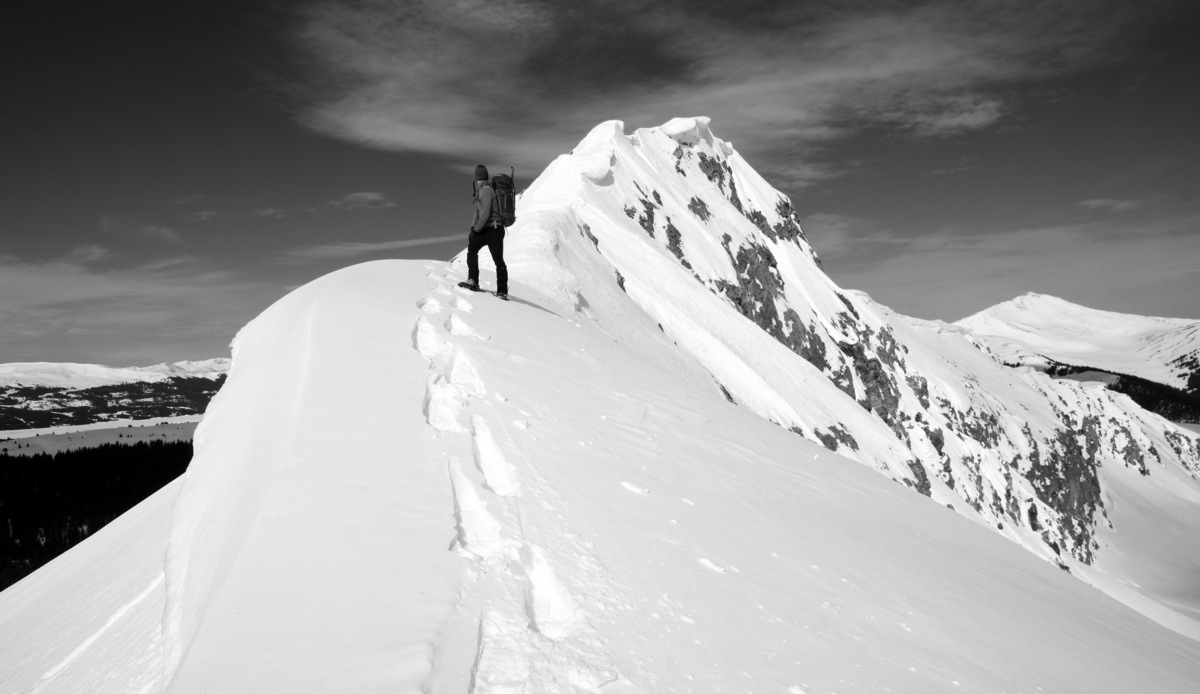
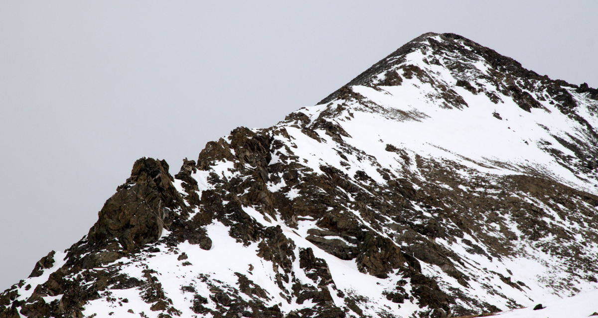
On the false summit looking at the true summit
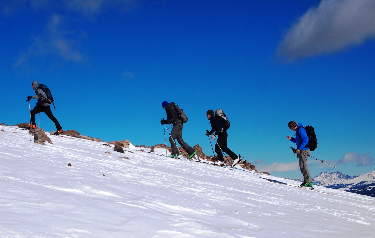
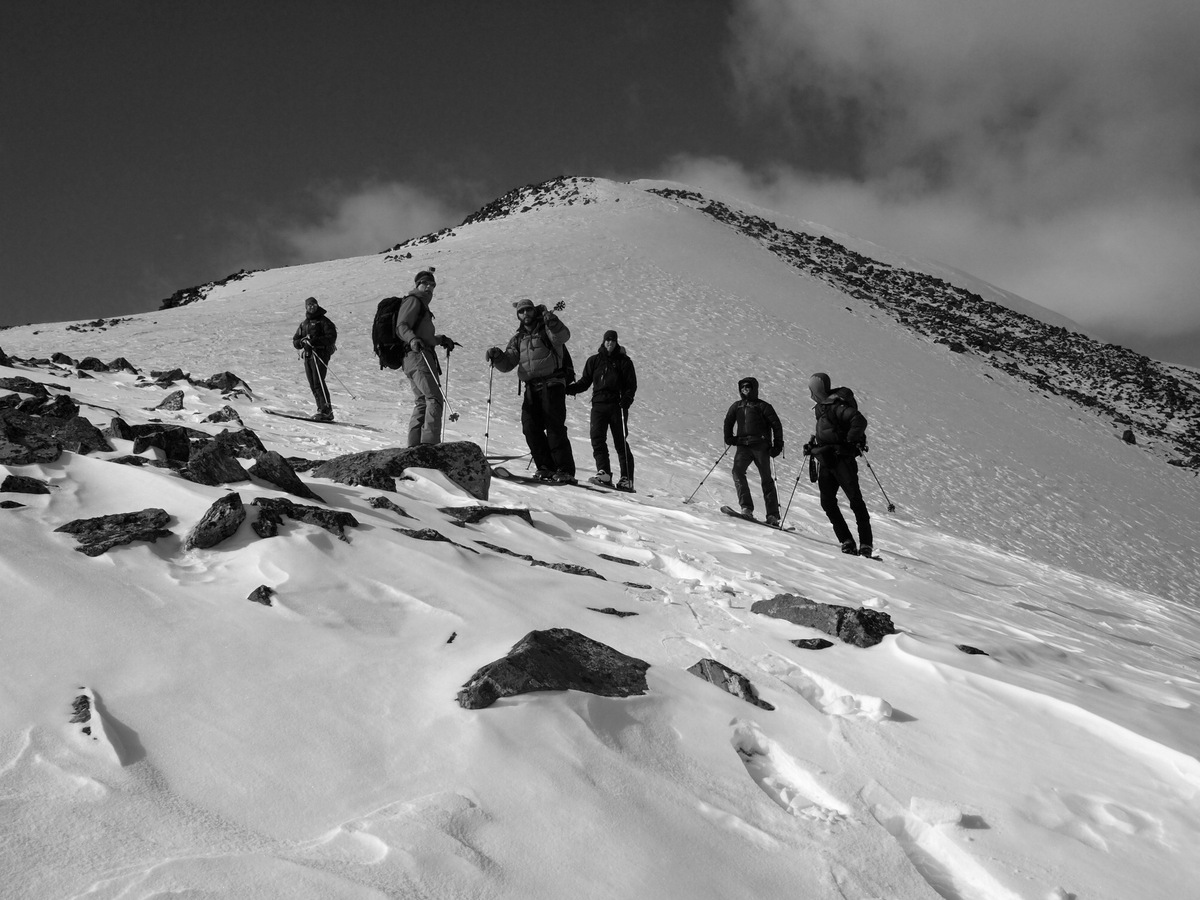
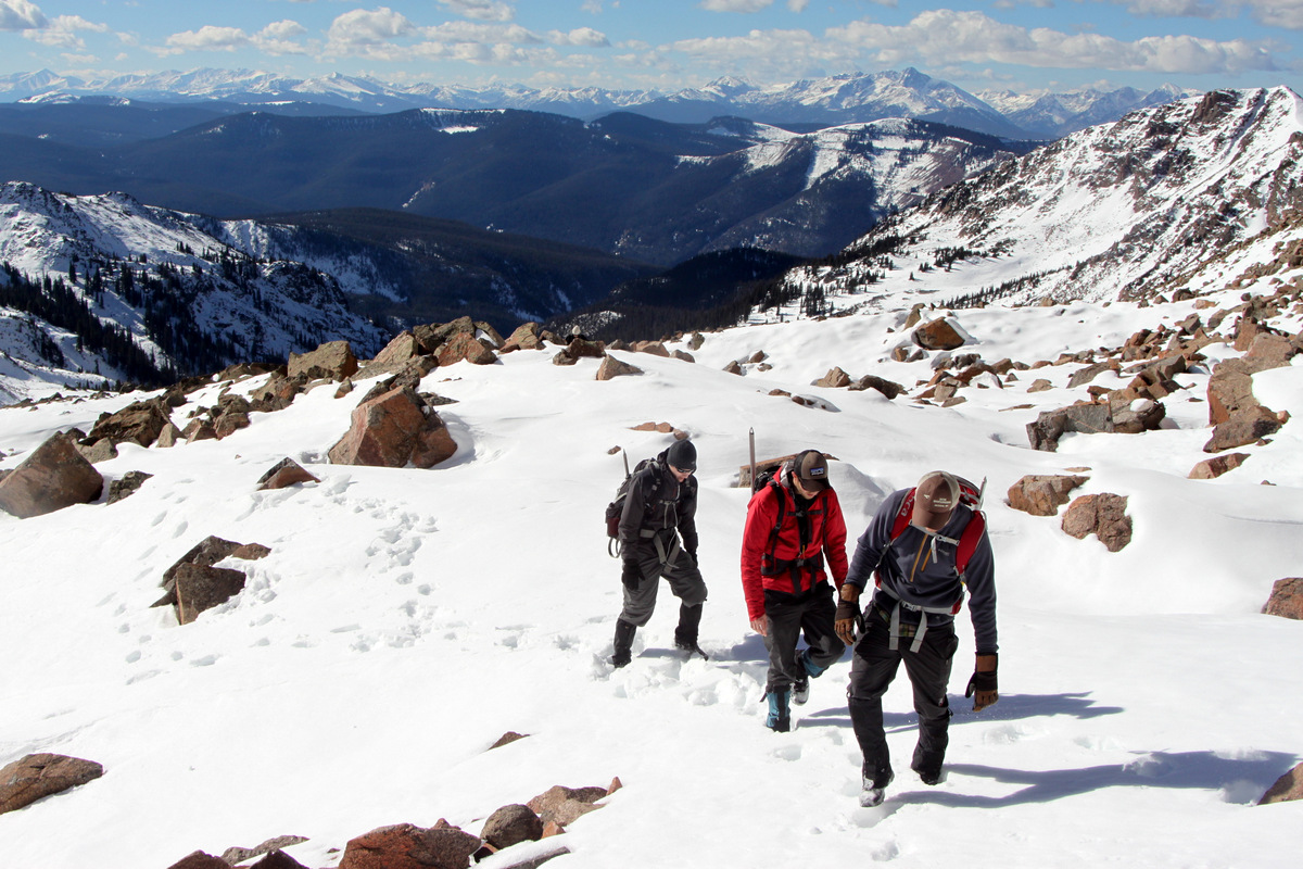
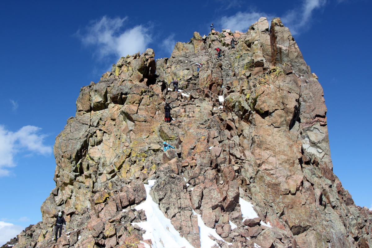
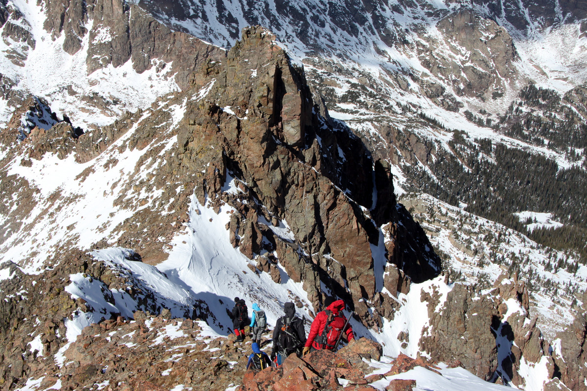
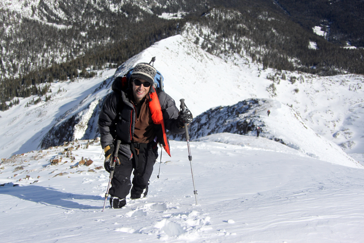
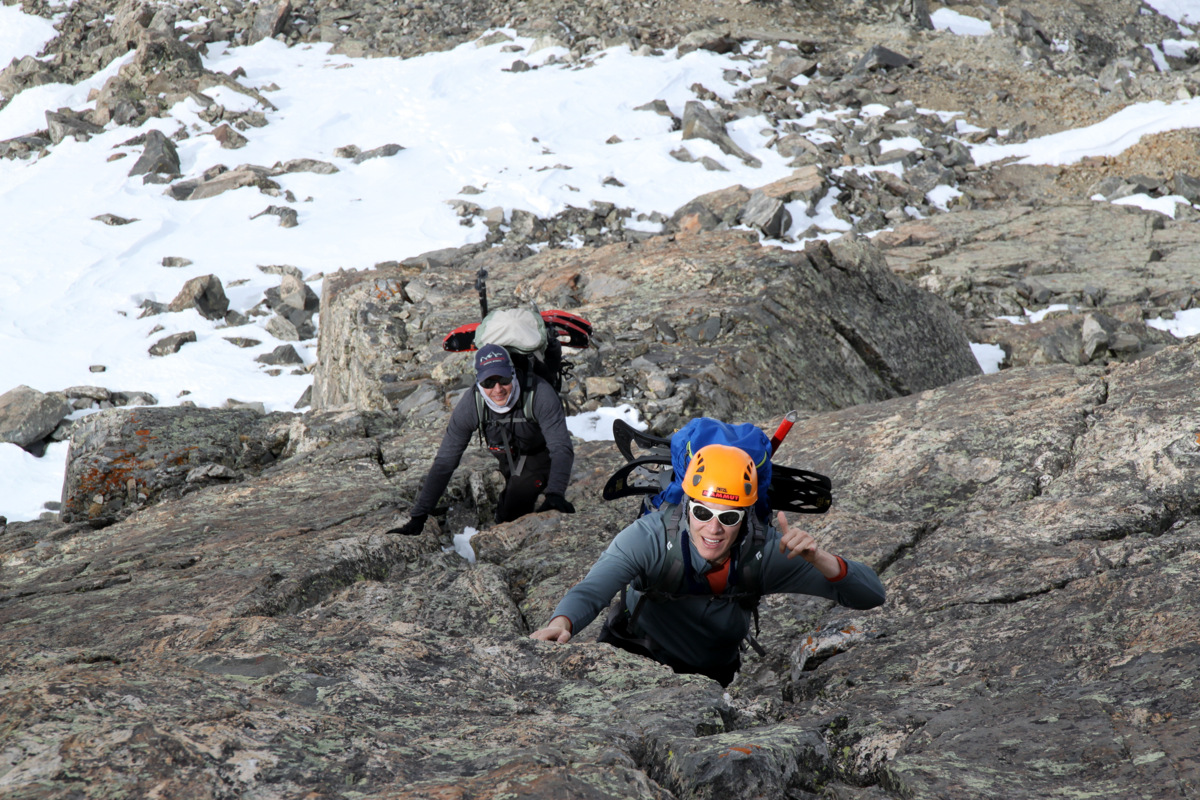
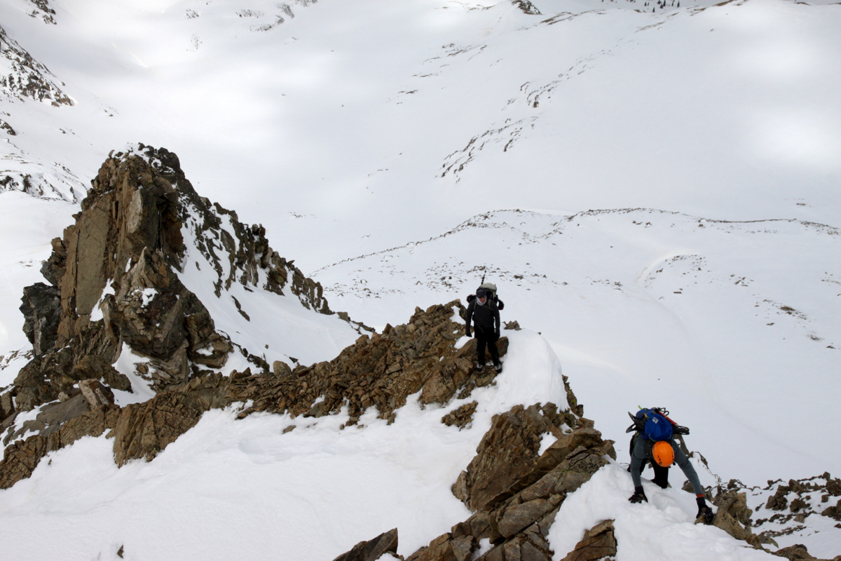
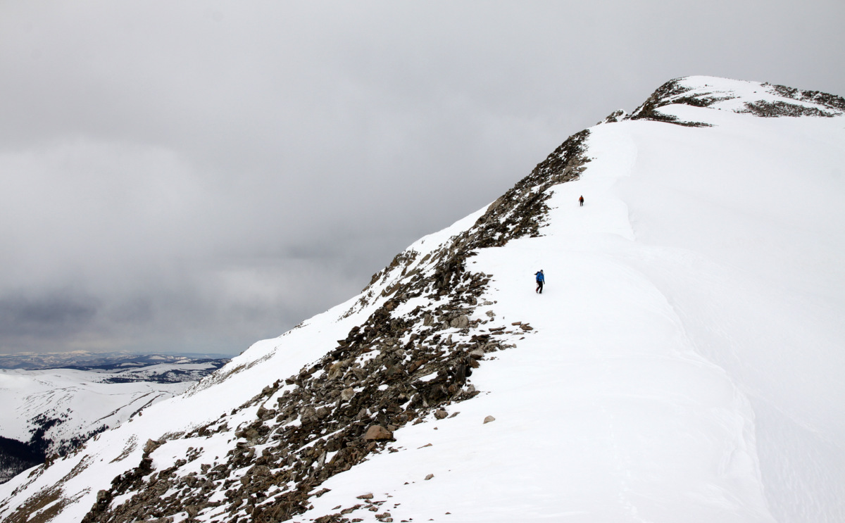
The boys coming up the final section of the west ridge
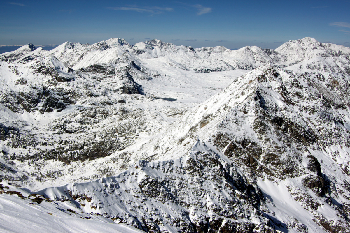
Once we reached the false summit we descended to the notch between the false and true summits and peered down the steep north couloir.
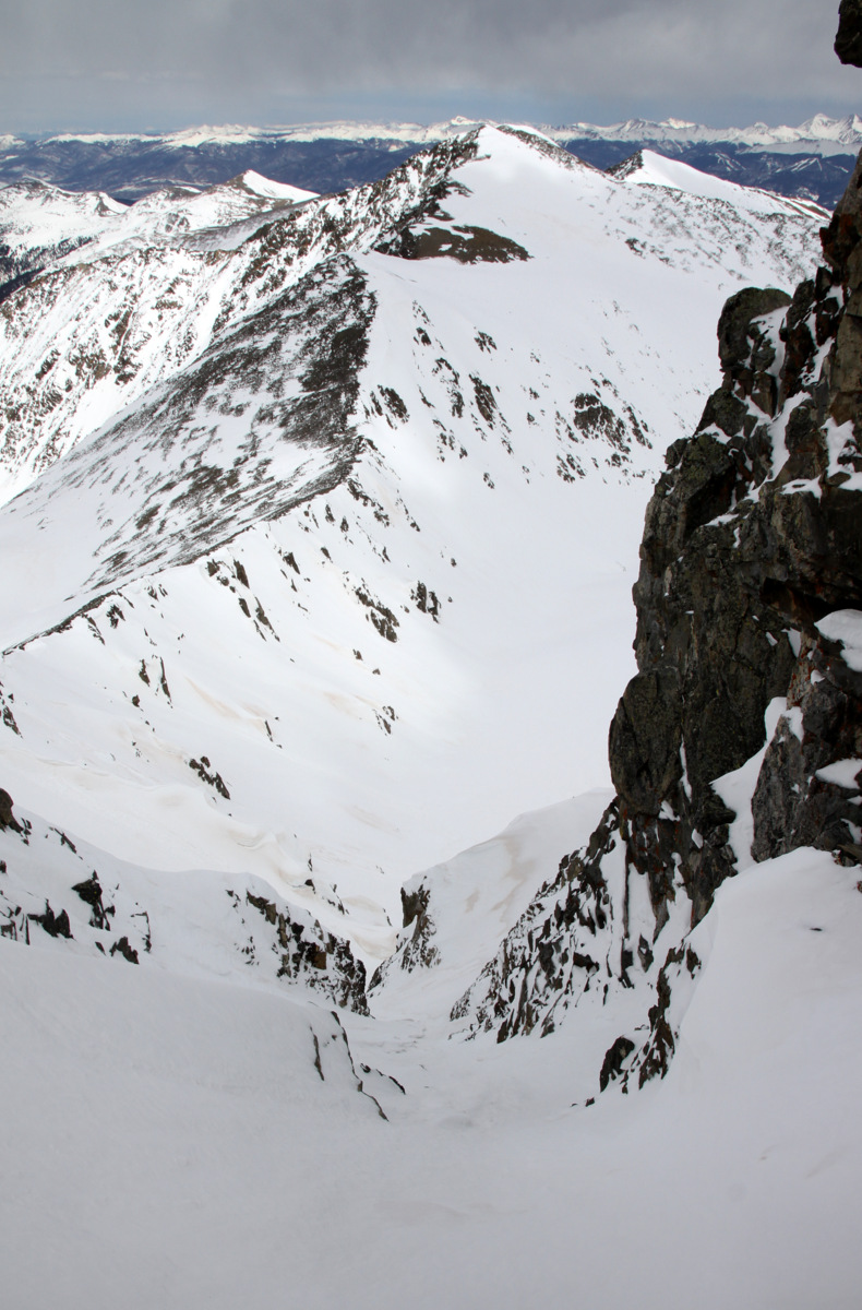
Looking down Pacific’s north couloir to Crystal Peak
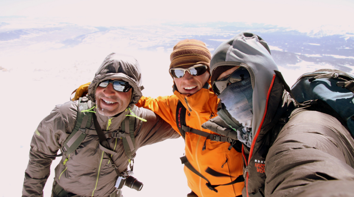
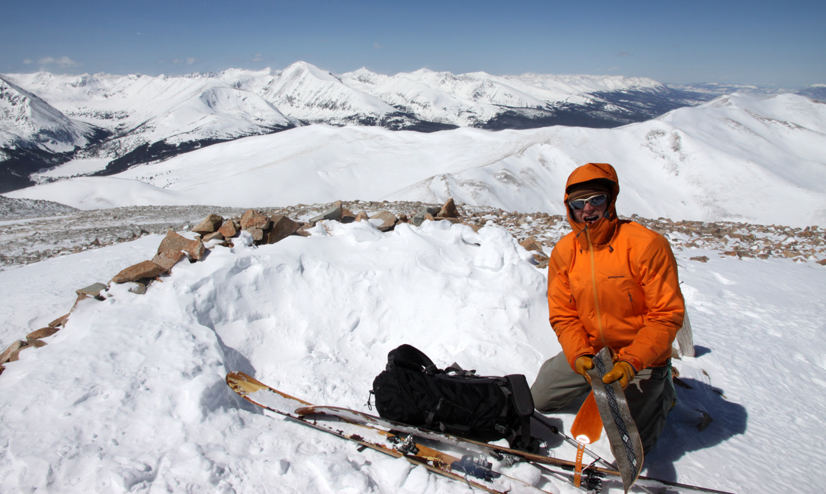
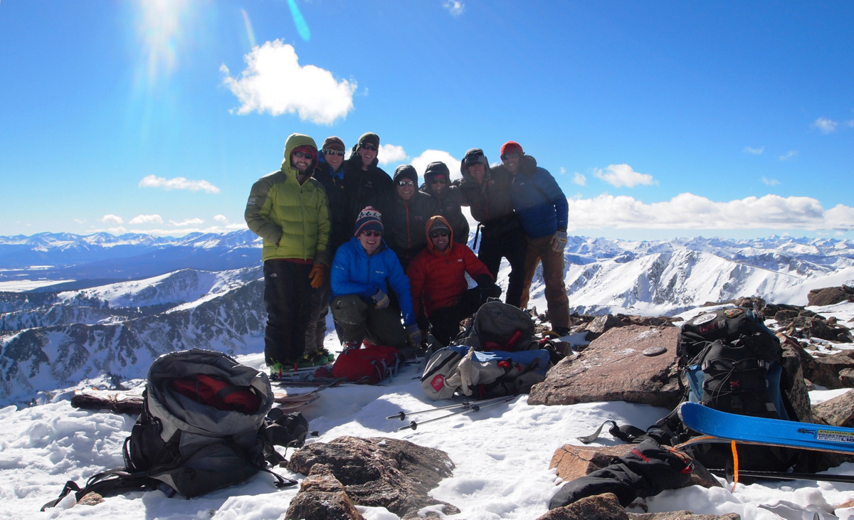
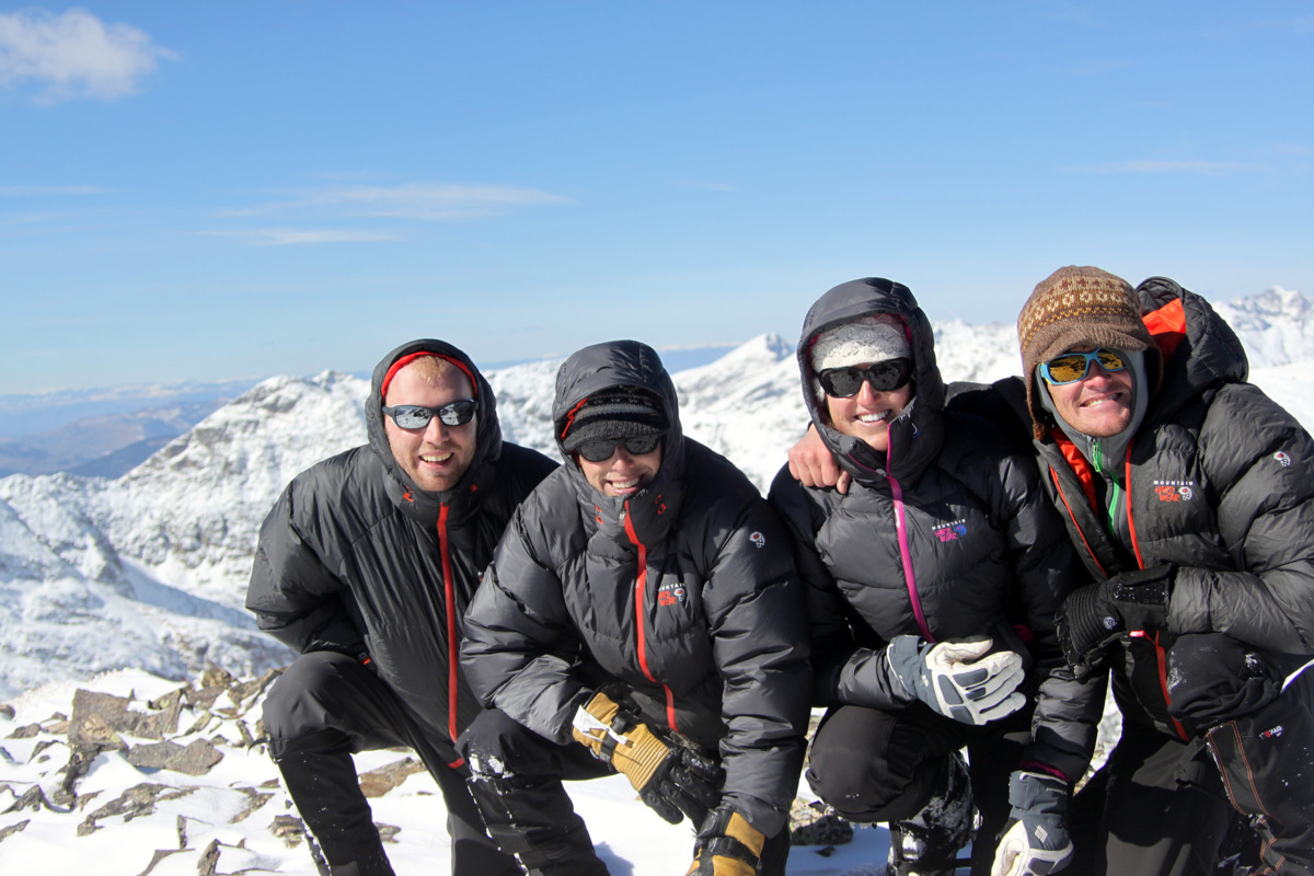
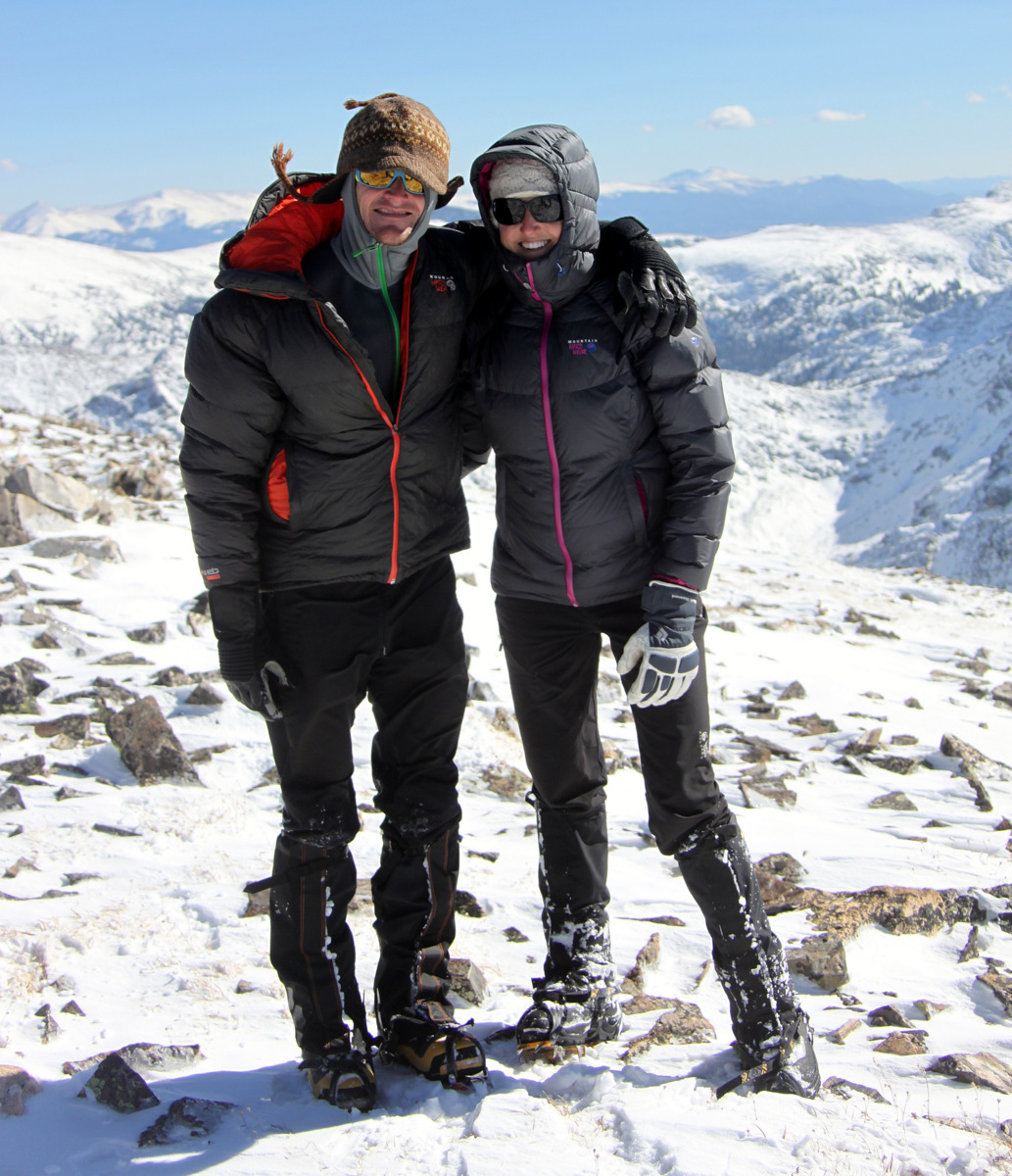
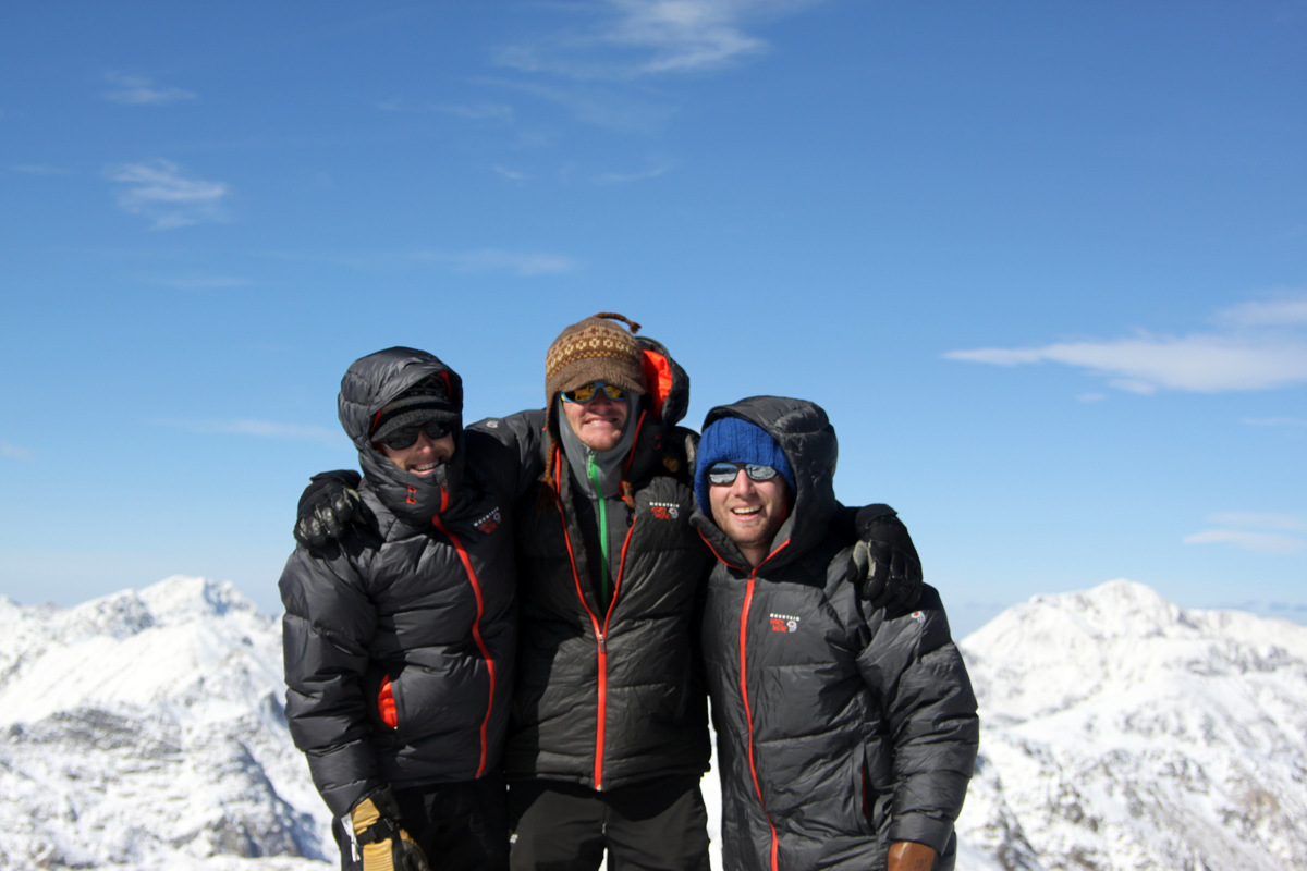
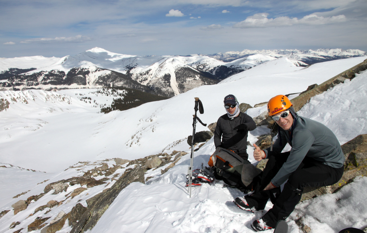
This couloir is next on my to-do list of routes up Pacific Peak. We then topped out on Pacific Peak’s true summit around 12:15pm and enjoyed an absolutely windless summit accompanied by fairly warm temperatures. It was a nice summit to say the least.

Pacific Peak summit (13,950′) after climbing the west ridge
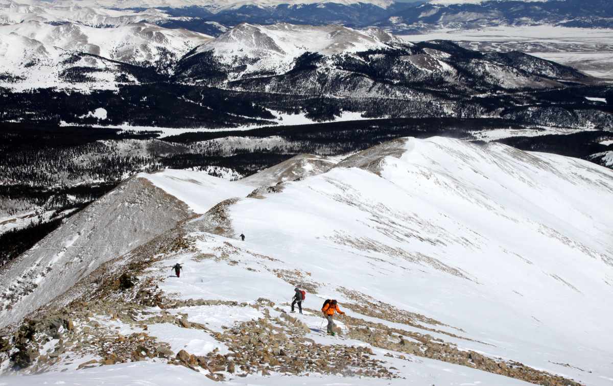
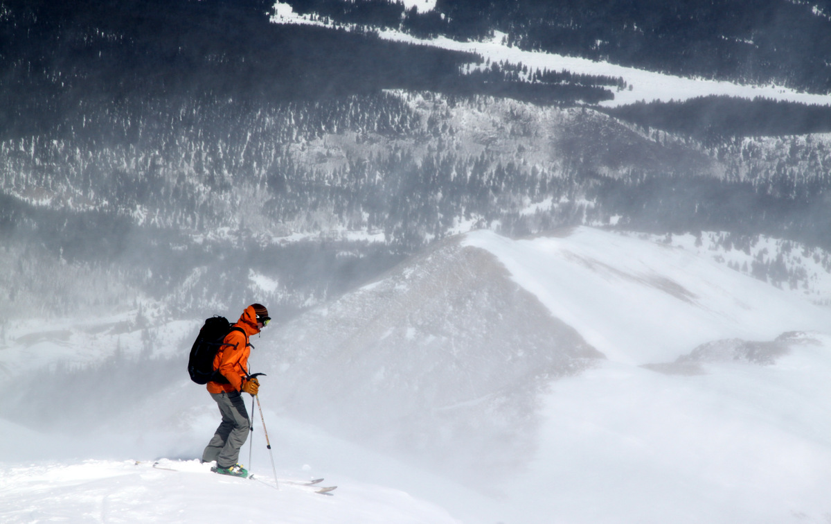
As I needed to get back home to play with the dogs before packing and driving to Denver, we didn’t dally on top and boogied on down Pacific’s south ridge to the saddle between Pacific Peak and Atlantic Peak.
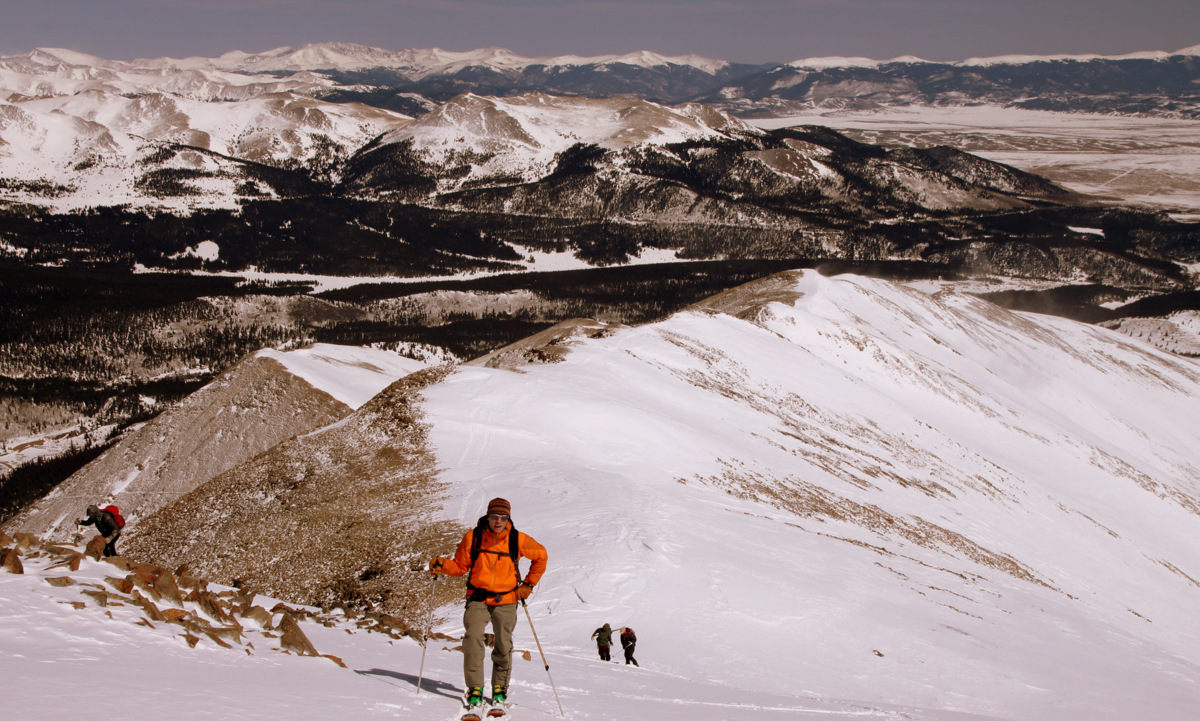
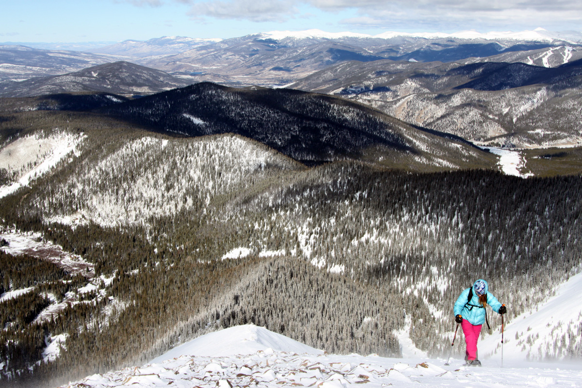
Reid (front) & Jesse descending Pacific’s mellow south ridge
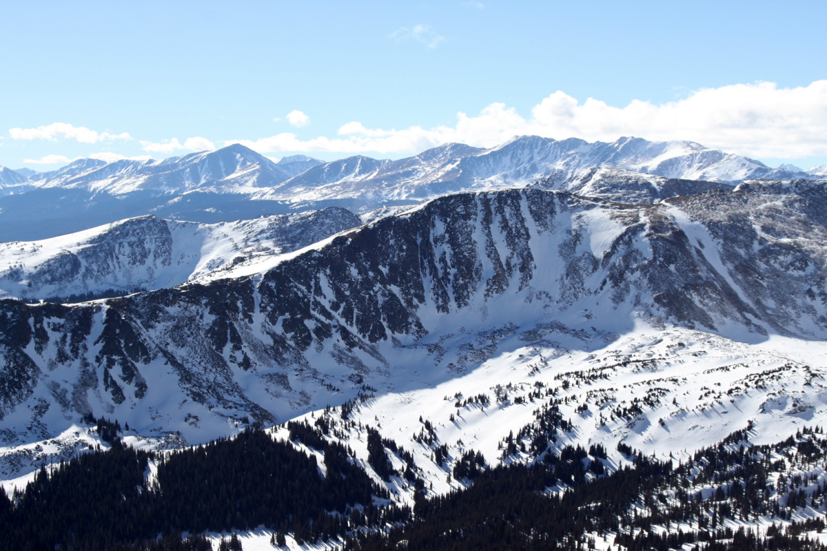
We made our way down Atlantic Peak’s northwest face via a faint scree trail interspersed with slick snow. We then found a snow gully in which we plunge-stepped our way down to reach the Pacific Creek drainage where we once again donned our snowshoes to make the slog out to Mayflower Gulch.
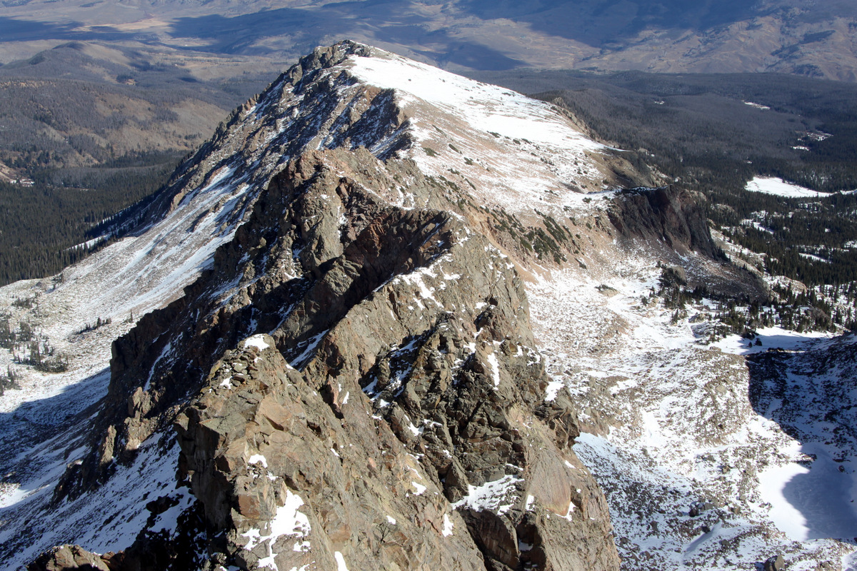
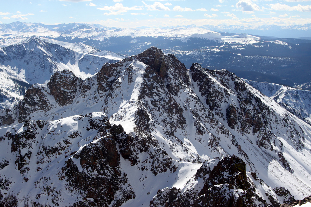
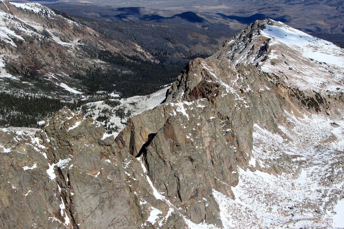
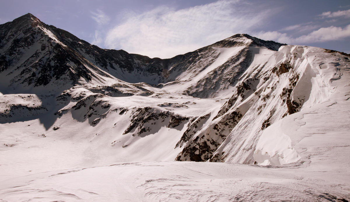
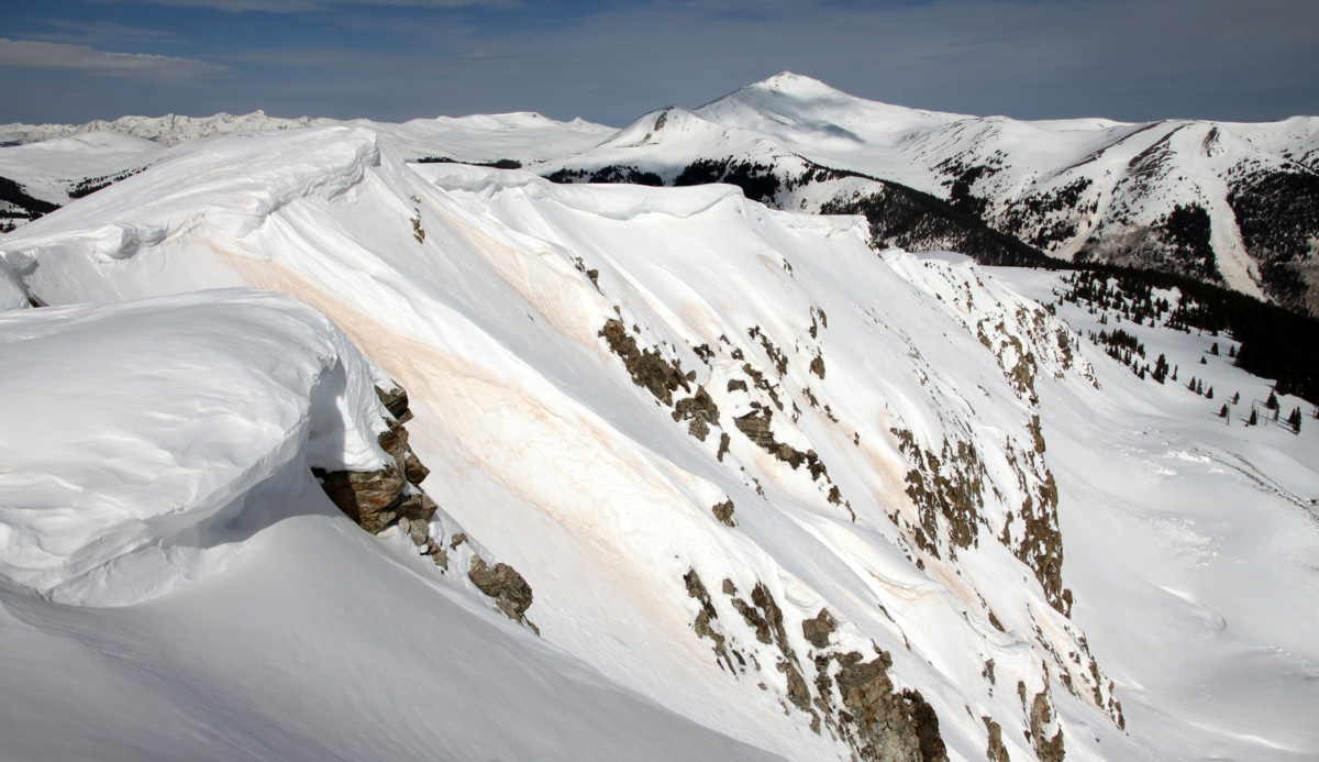
Profile of Pacific’s west ridge from Atlantic Peak’s northwest face
Pacific’s west ridge on the snowshoe out with the large tower visible at lower left
The descent went fairly fast and I was back home in Edwards by 3:30pm with plenty of time to pack up and play with the dogs down by the river before heading off to Denver. This climb up the west ridge ended up being one of my favorite ridge climbs in the Tenmile Range thus far and I’d highly recommend it. It can be kept at class 3 and mellower snow slopes by going around the large tower or can be spiced up a bit by taking the large tower head-on. I’m glad we were able to fit this nice little ridge climb in on this Saturday morning, especially before heading off to the tropics of Belize with Kristine, which was fantastic in itself. Pictures and stories of our island vacation to come soon.
 Follow