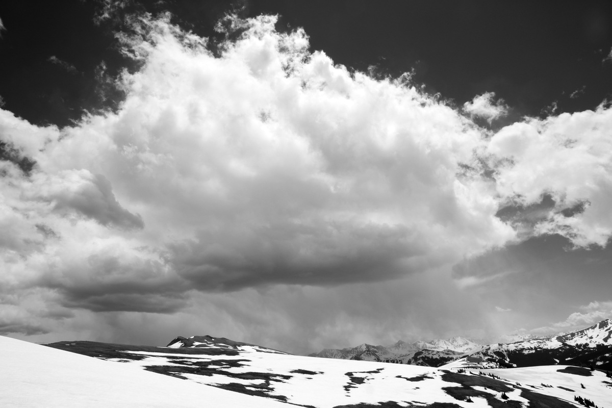
End of the 2014 Spring Ski Season?
Well, both Kristine and myself as well as most of our ski-mountaineering buddies have learned by now to never say “never” when it comes to hanging up the planks for good signaling the end of our spring ski season. Just when you think you are done with ski season, you end up going out again just as Kristine did today on Quandary Peak’s Cristo Couloir with J and the Active Energies group after saying she was done after our ski of Mt. Oklahoma this past Saturday.
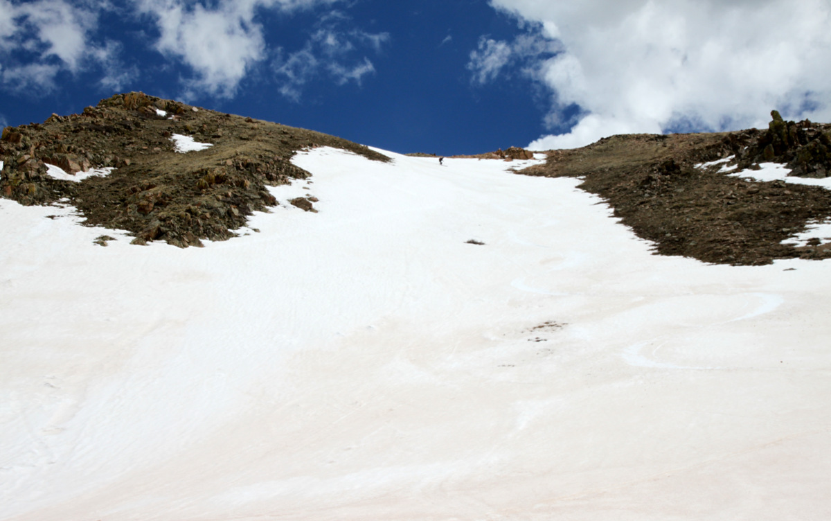
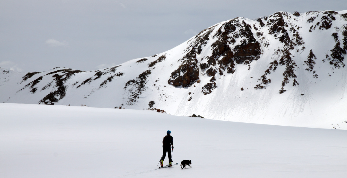
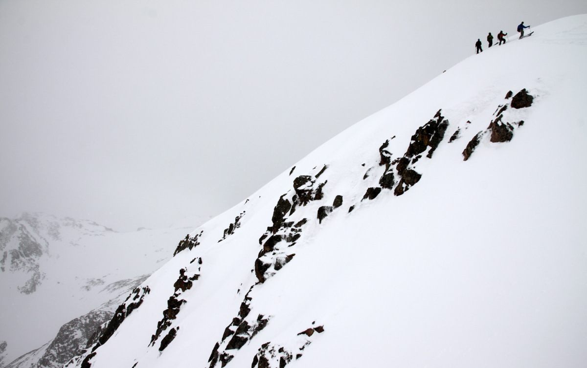
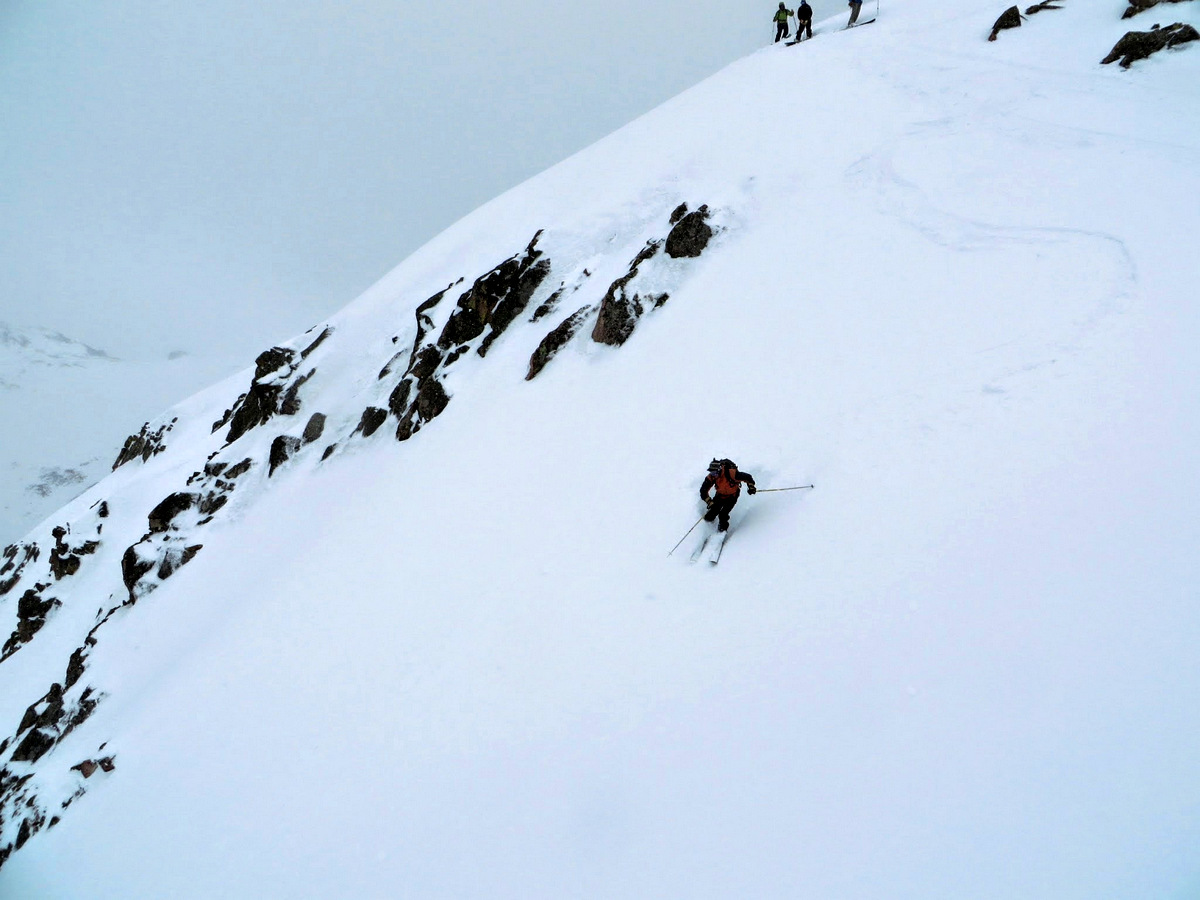
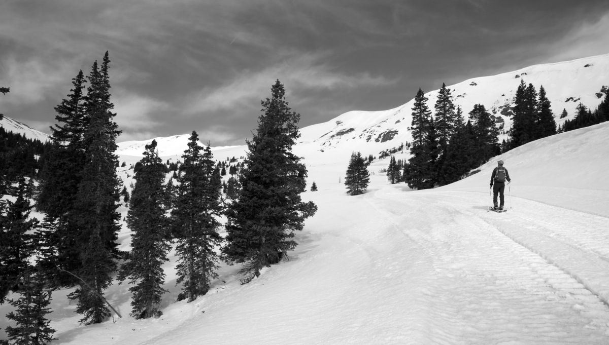
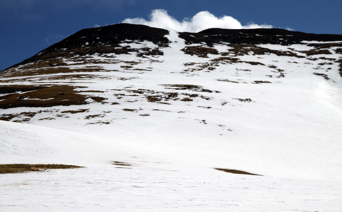
The last few days have treated us well with regards to wonderful ski-mountaineering adventures in our hills. A line I try to do every year is 14er Quandary Peak’s South Gully, aka the Cristo Couloir. Its a fantastic 2,500′ line in only a mile topping out at around 40 degrees in steepness. My good friend Mikey was leaving our engineering firm here in the mountains and moving to Denver and wanted to do the Cristo again before he moved to the big city. J joined us as well and in a short and sweet 2 hours we were on top of Quandary basking in the sun and waiting for the sun to soften the Cristo to perfect corn. We waited over an hour on the summit and then dropped in about 10:30am and had an exhilarating ride back down to the Blue Lakes dam hiking back out about 1/4 mile to our cars. Pics of the morning are as follows:

Mikey climbing the Cristo in his new crampon compatible snowboard boots
Mikey high in the Cristo
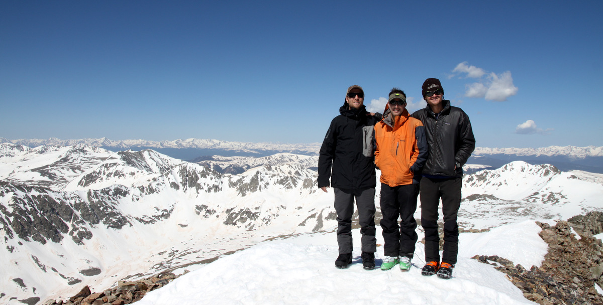
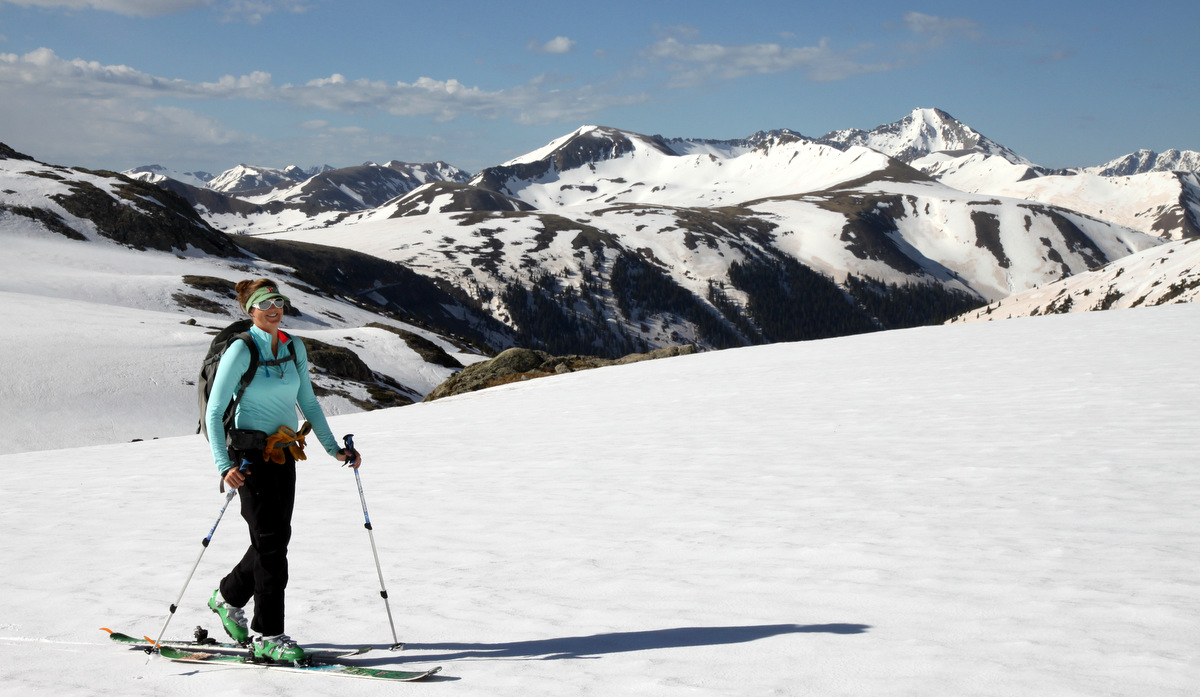
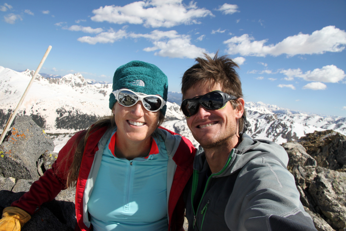
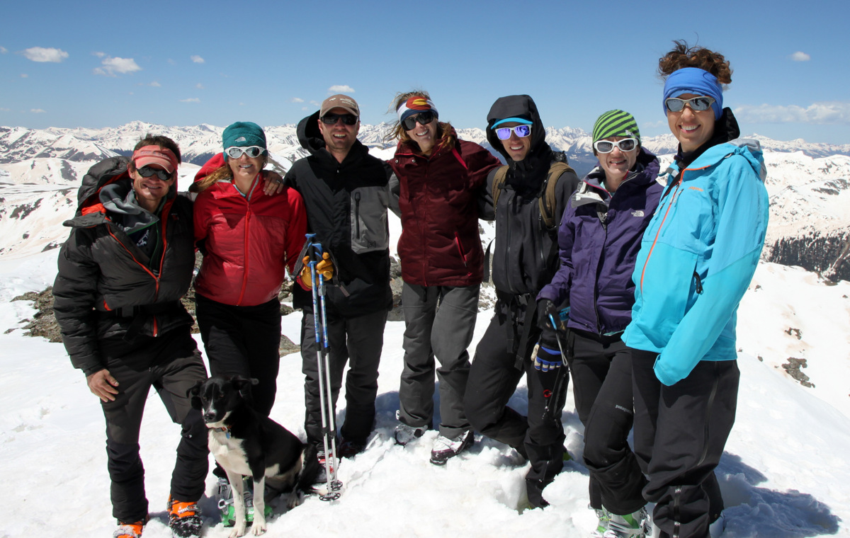
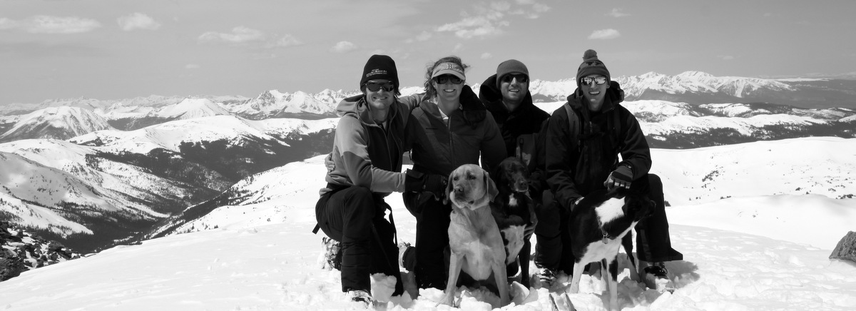
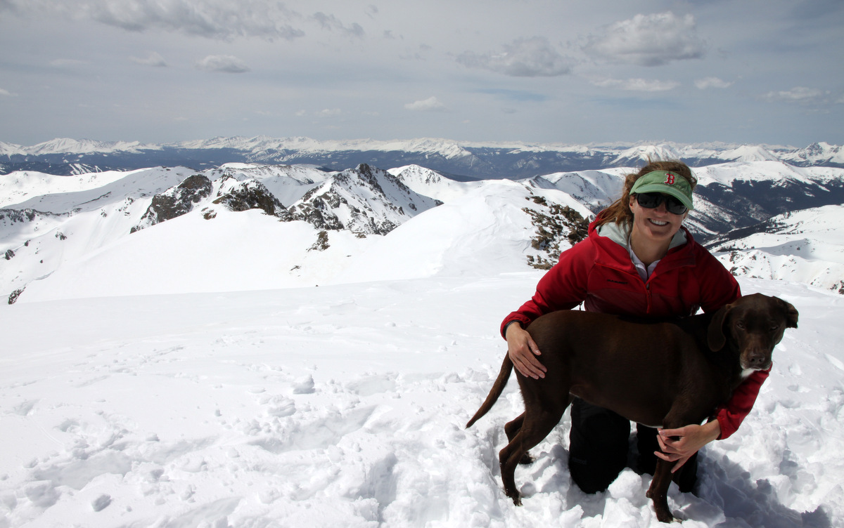
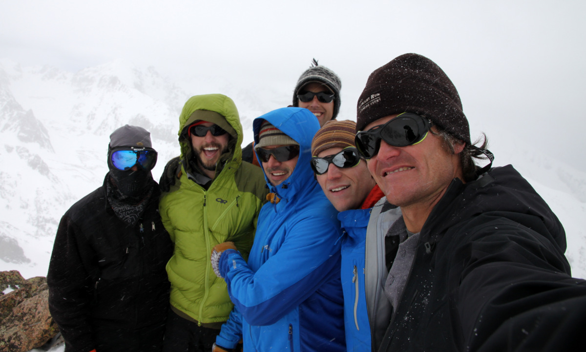
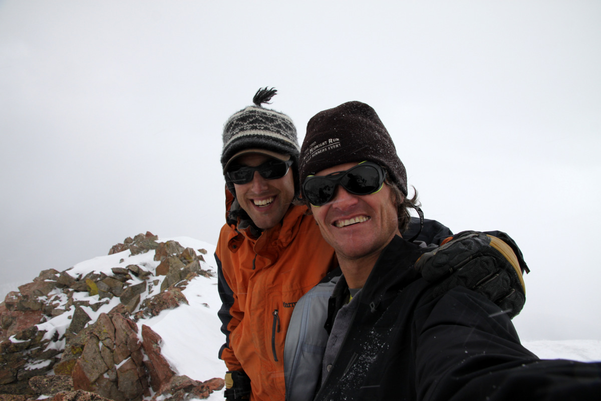
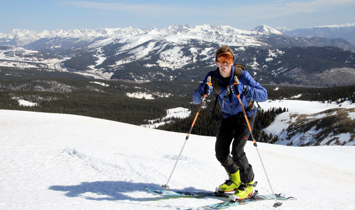
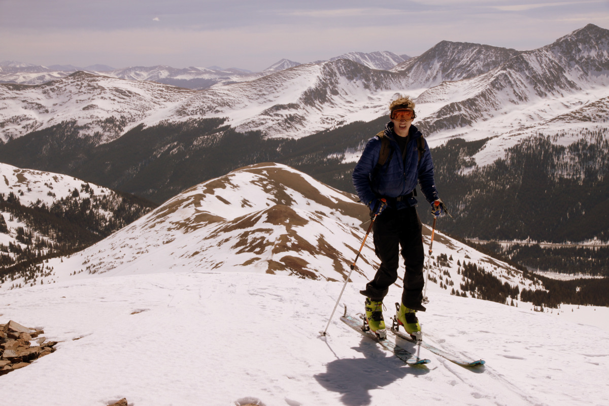
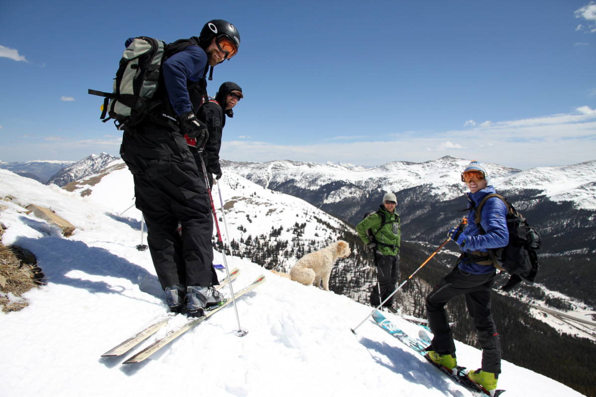
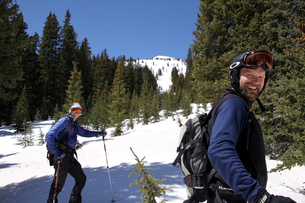
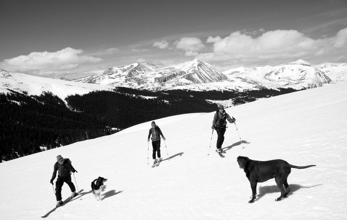
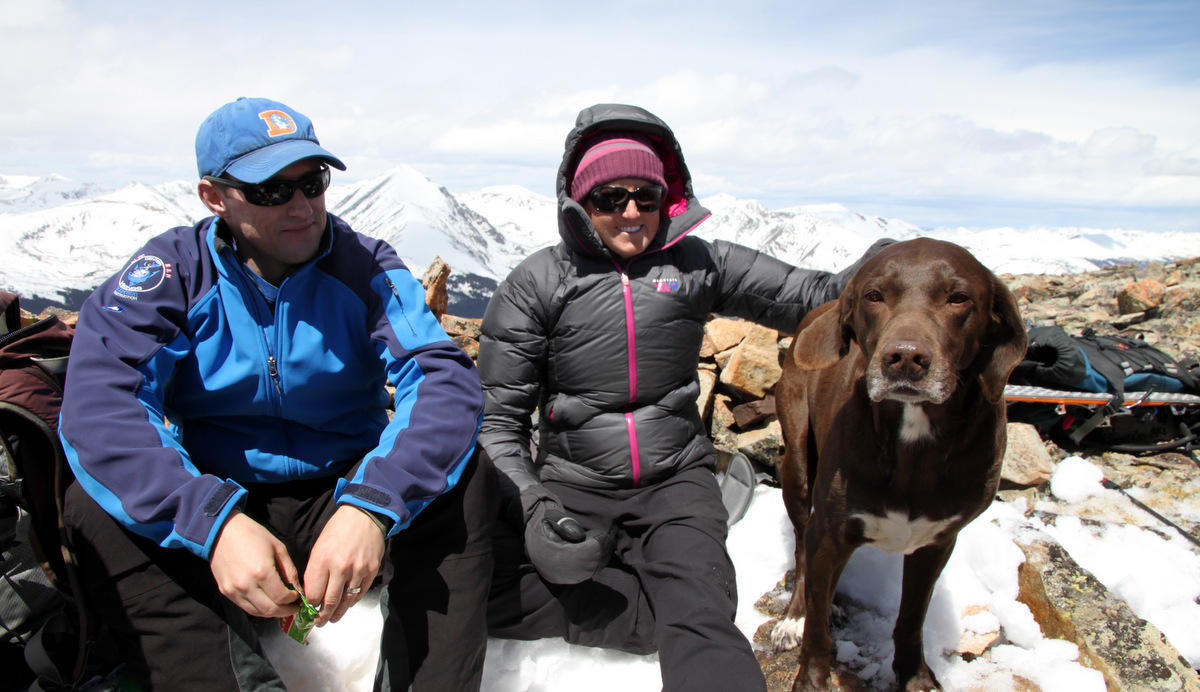
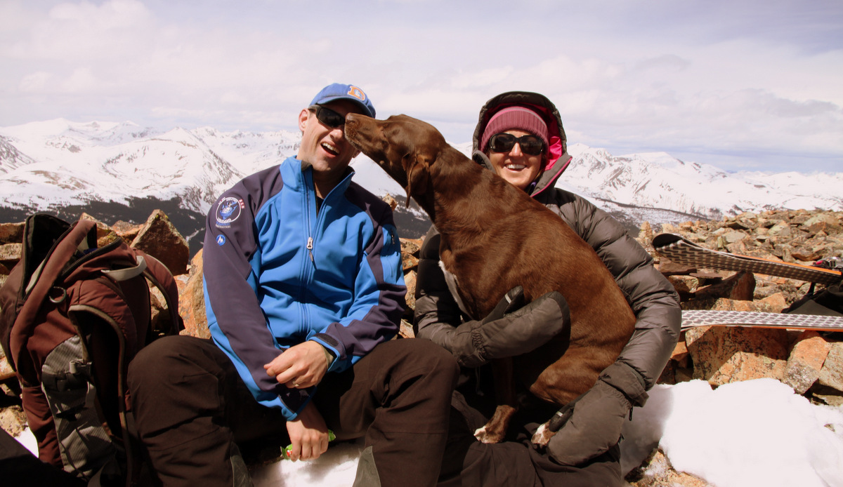
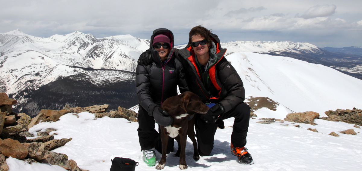
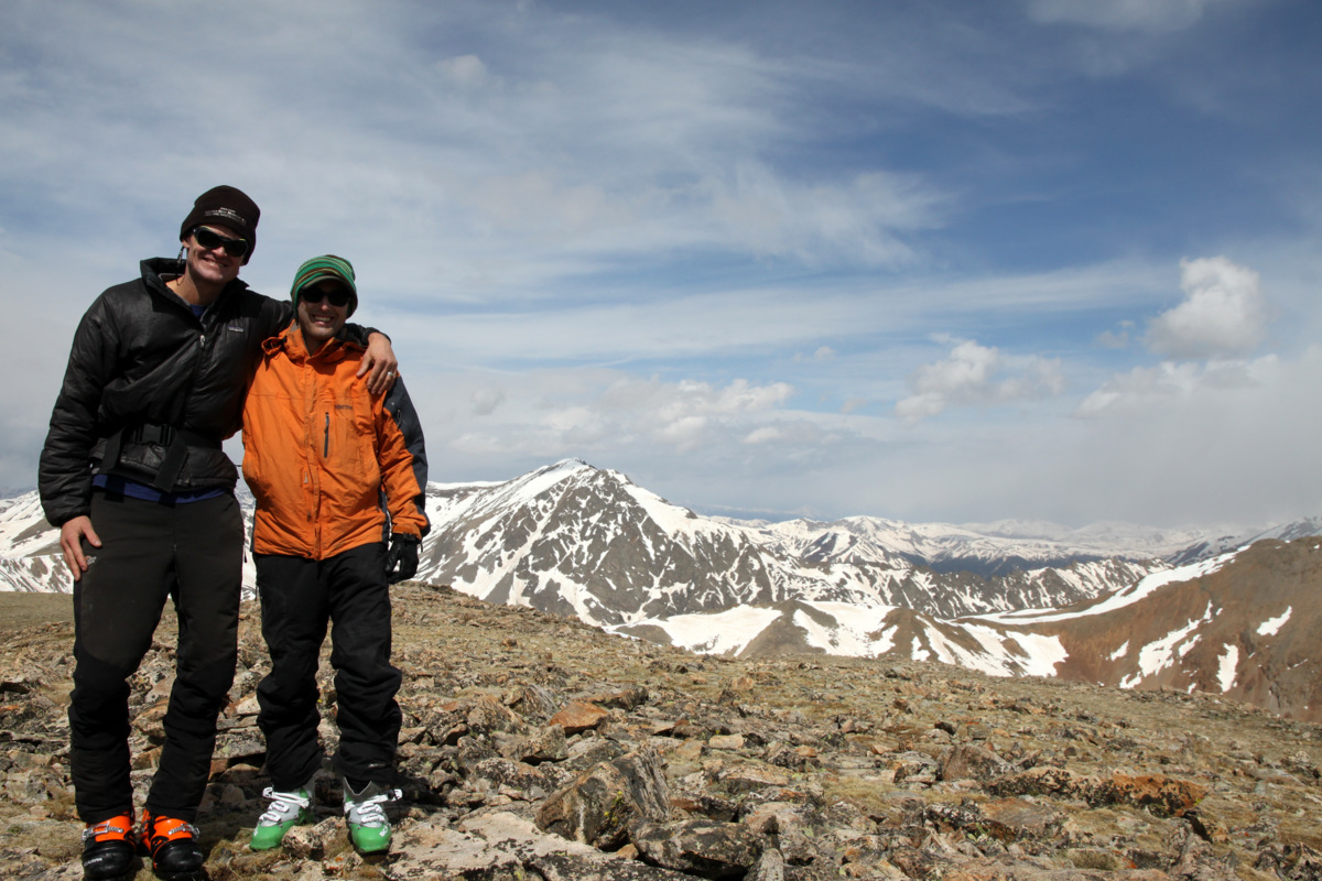
Mikey, J, and I on the summit of Quandary enjoying the nice morning
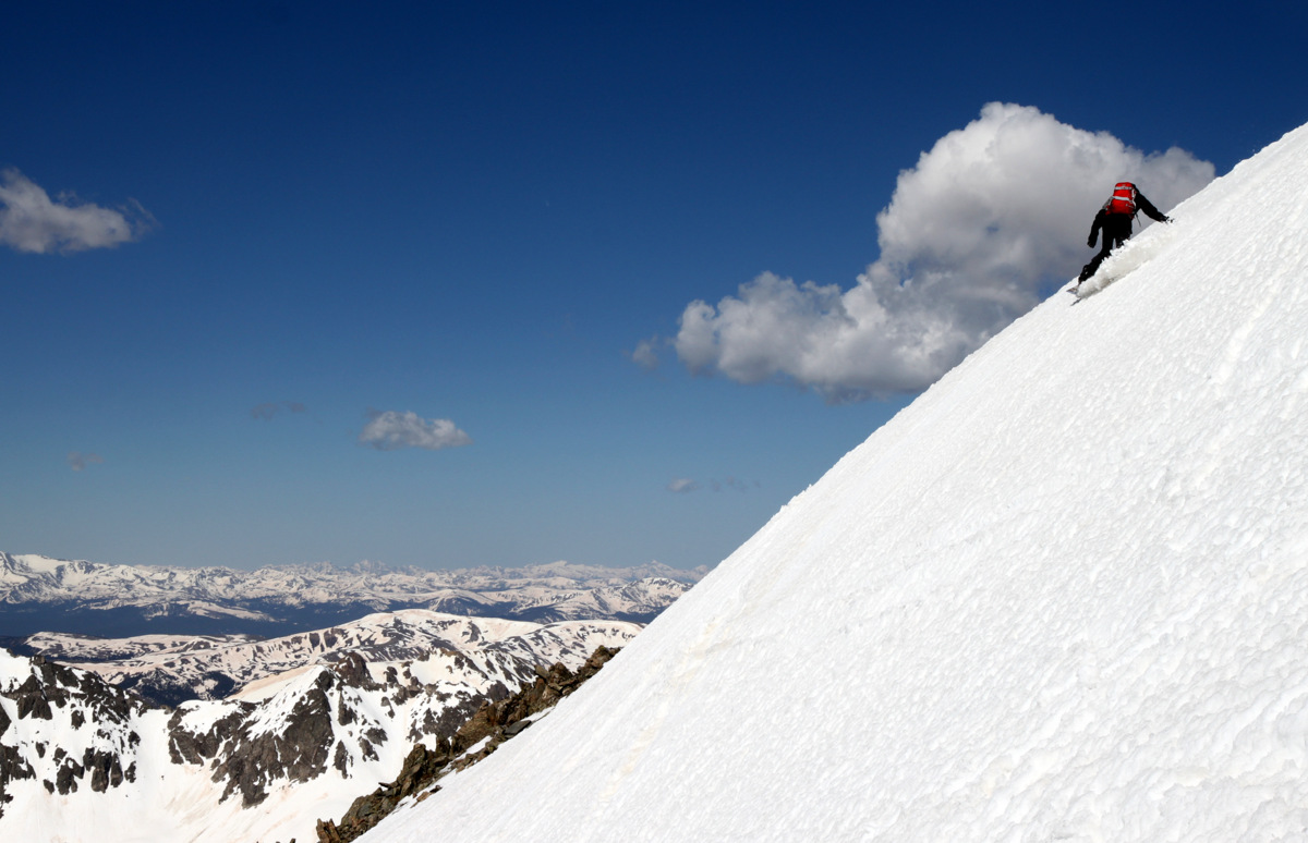
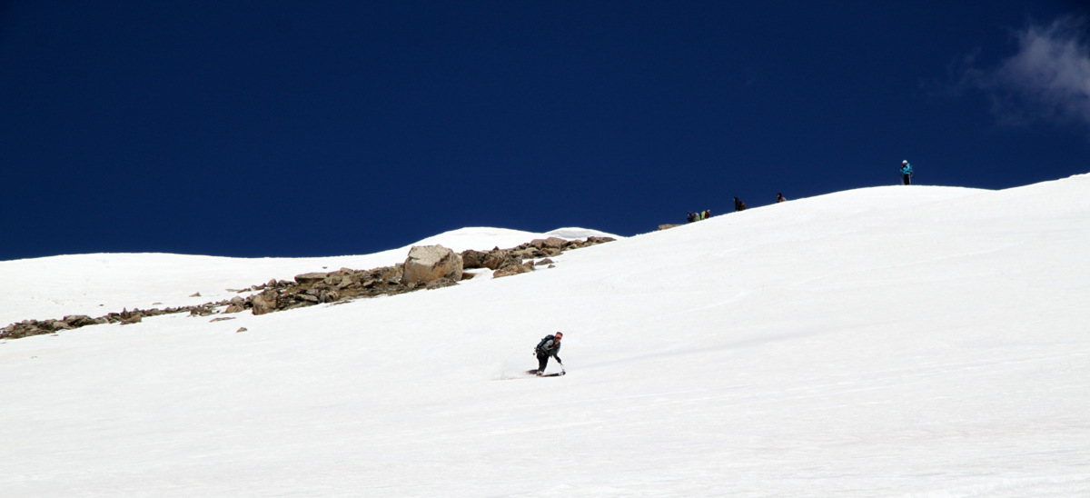
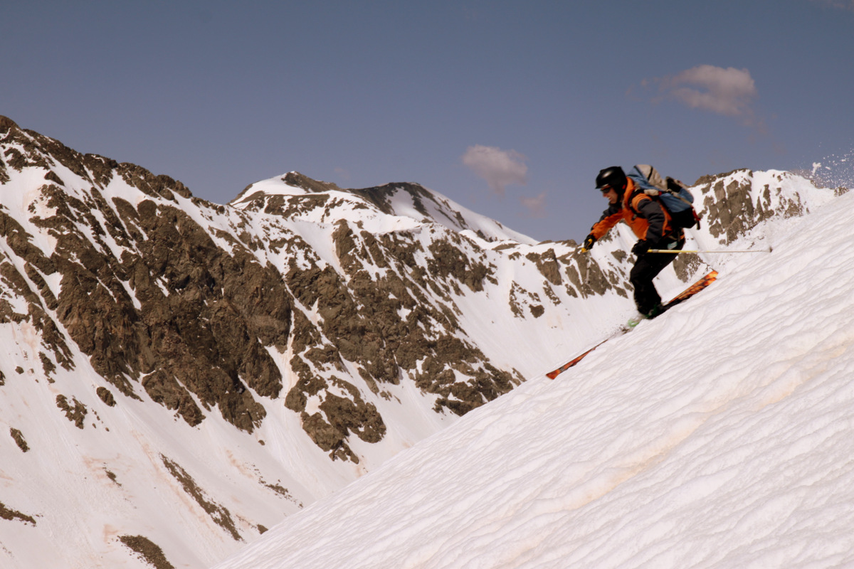
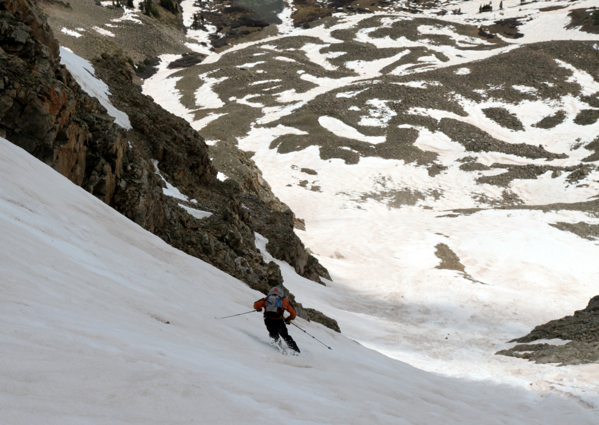
Mikey ripping the upper couloir
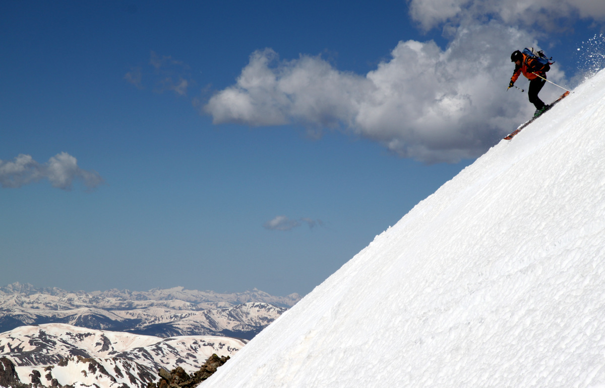
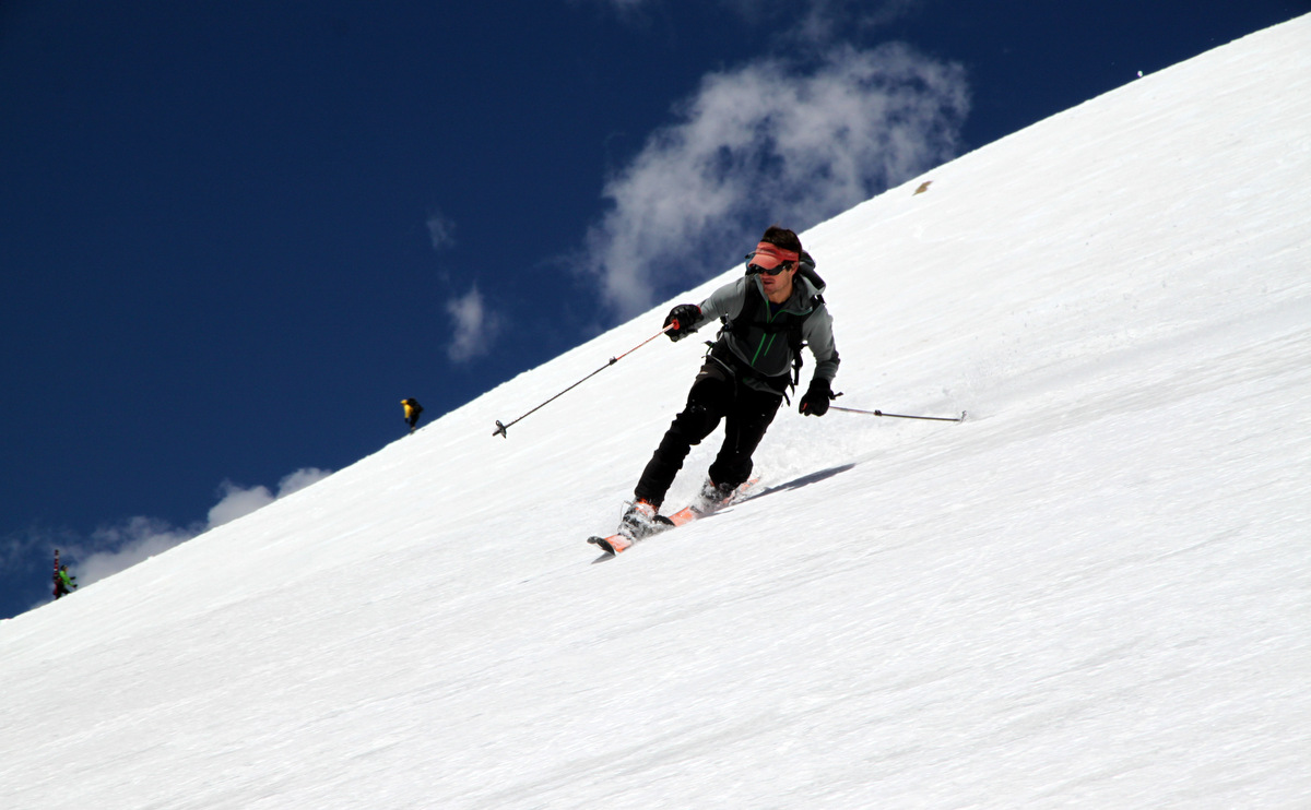
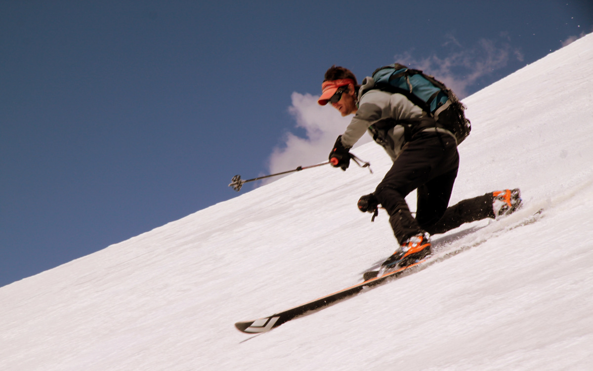
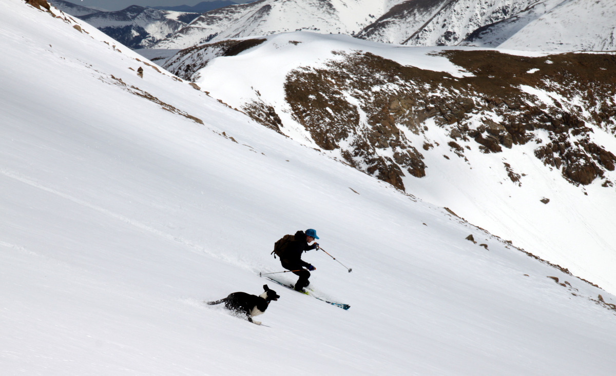
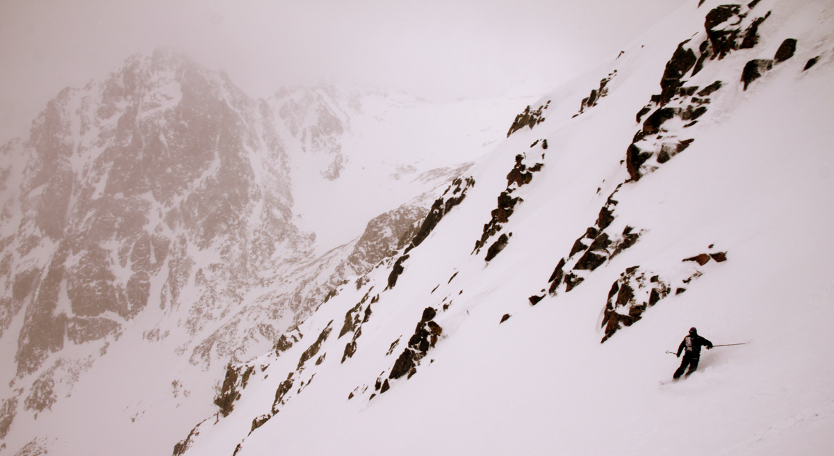
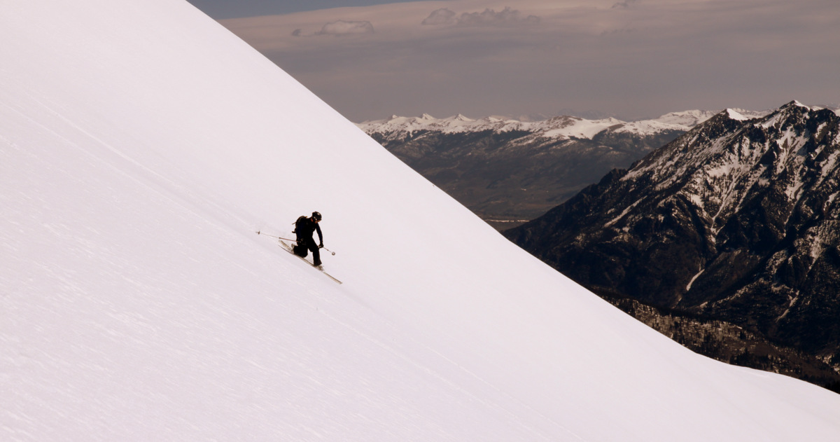
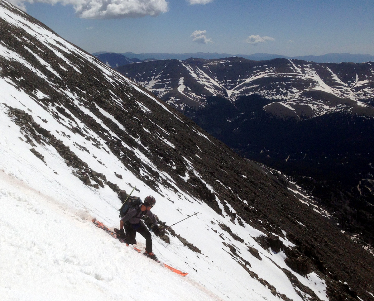
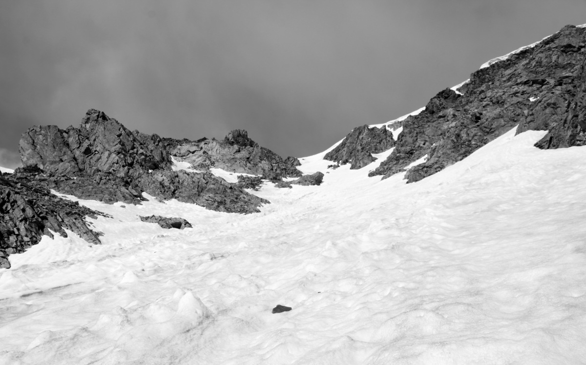
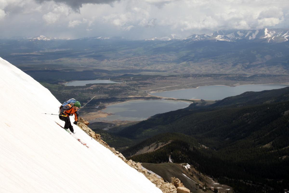
J high in the Cristo

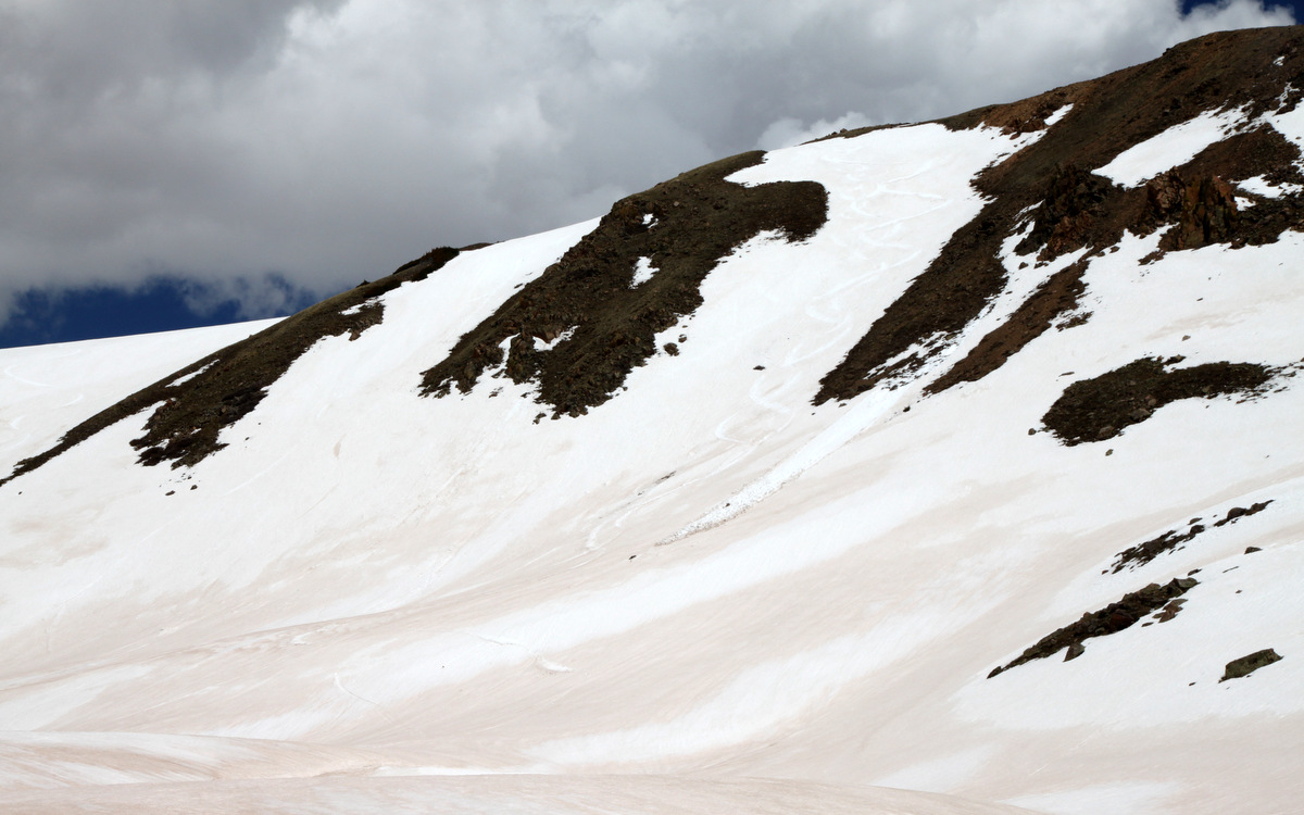
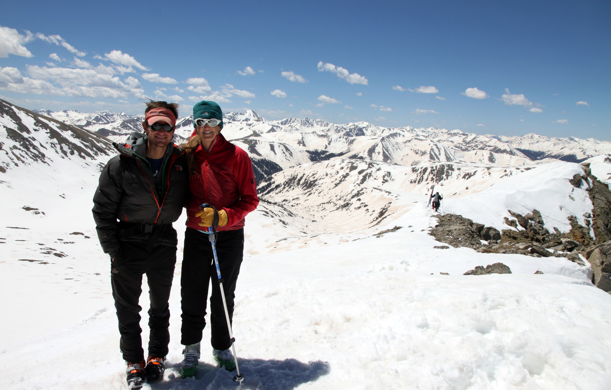
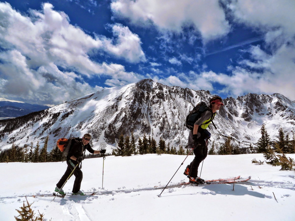
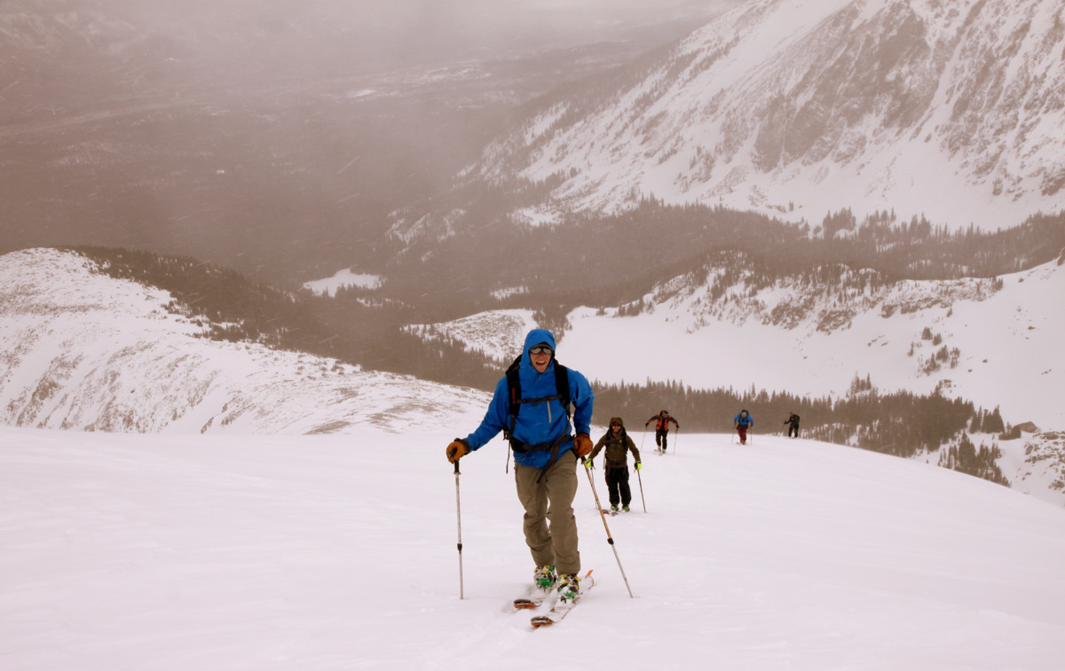
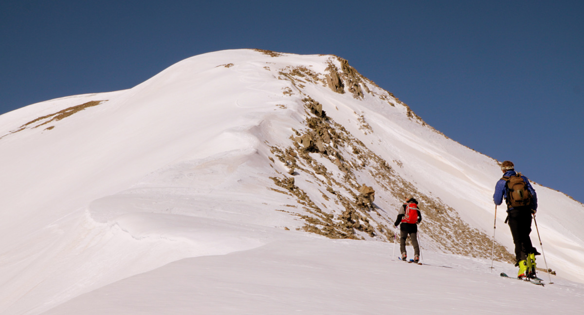
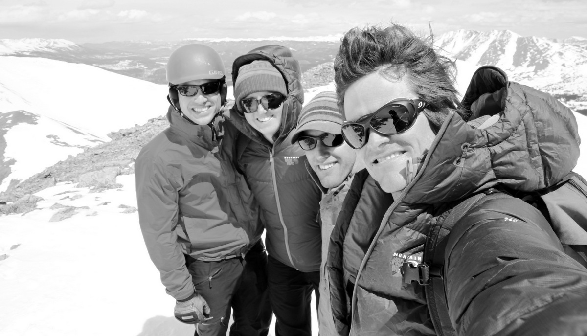
No matter how many times we go up and down Quandary, its always a pleasure
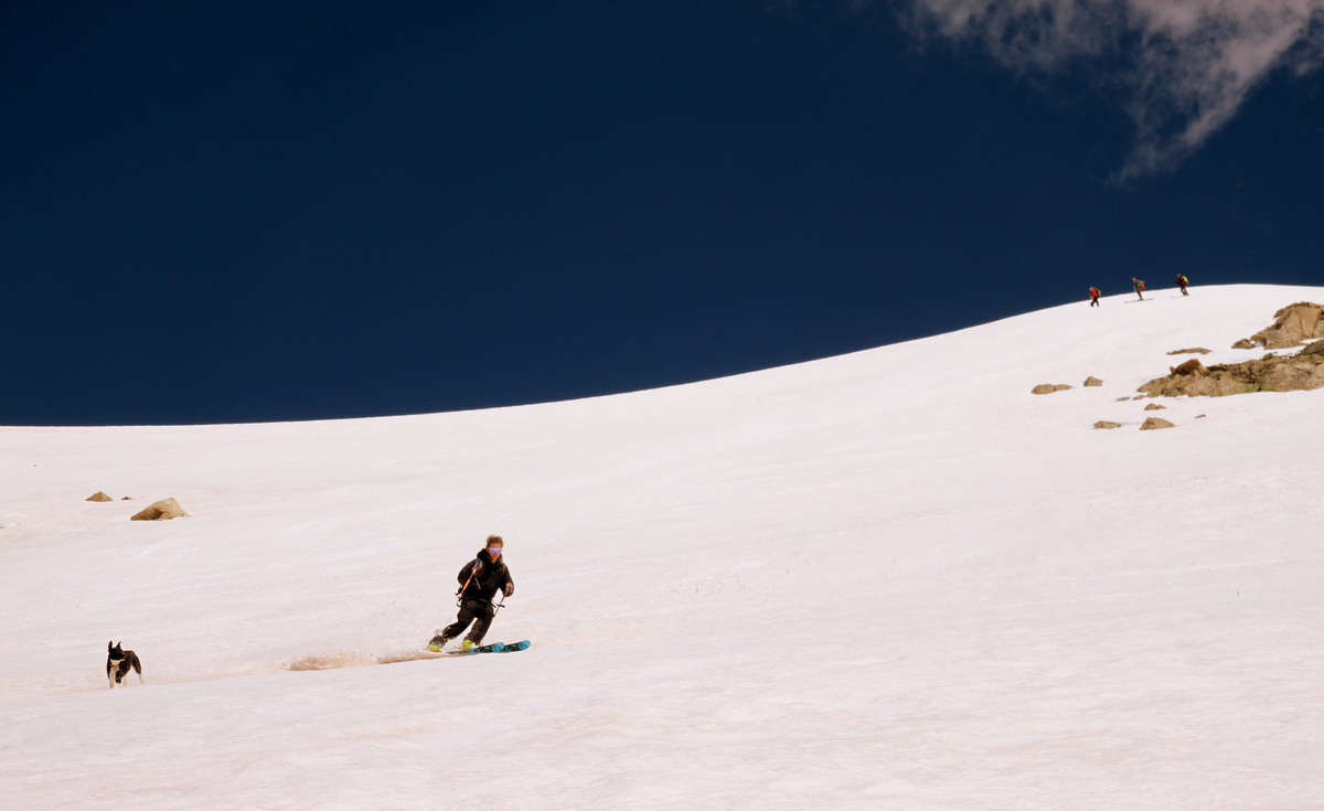
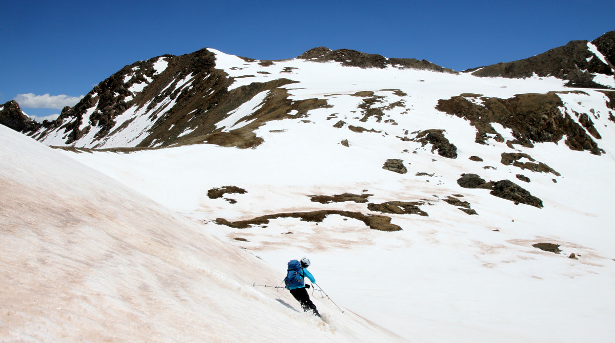
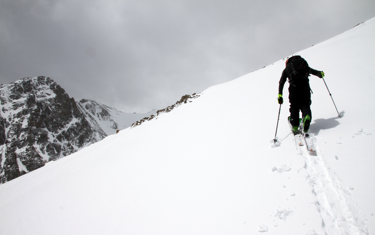
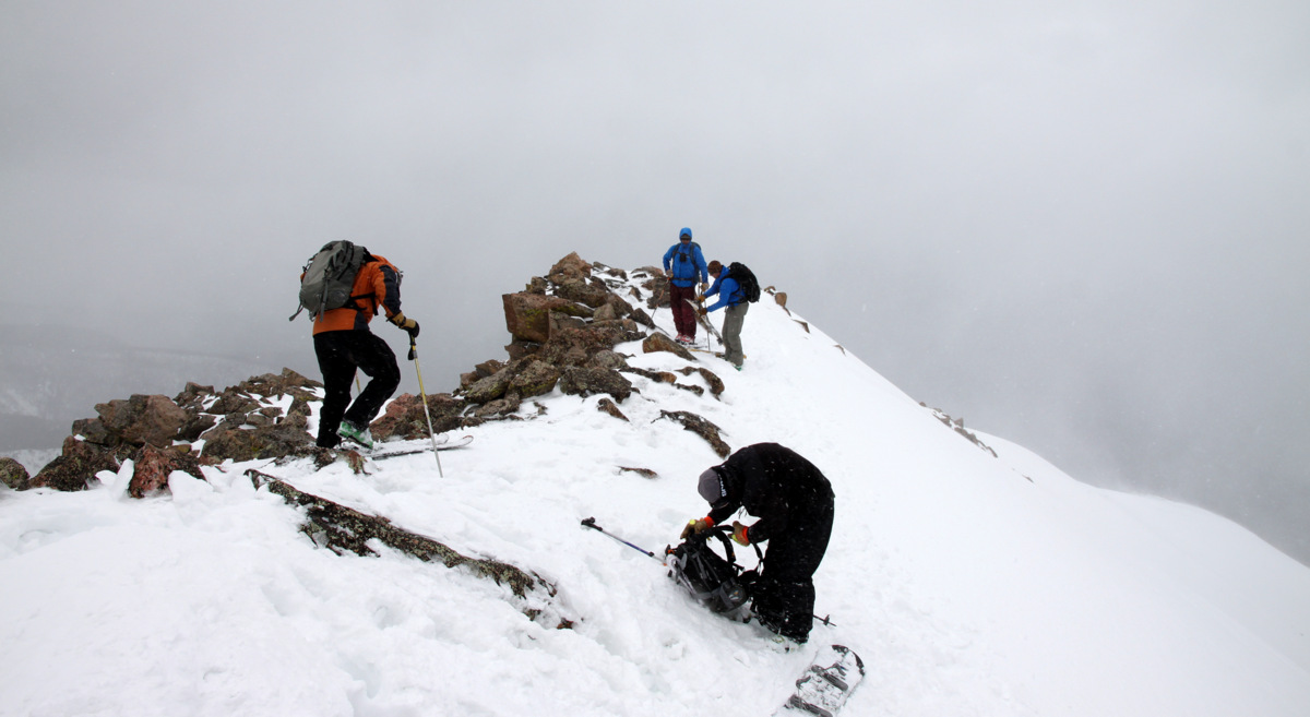
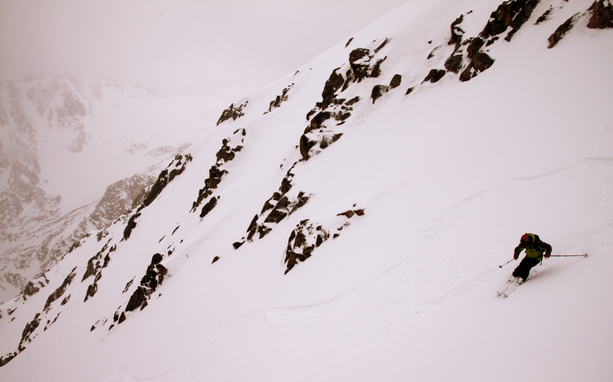
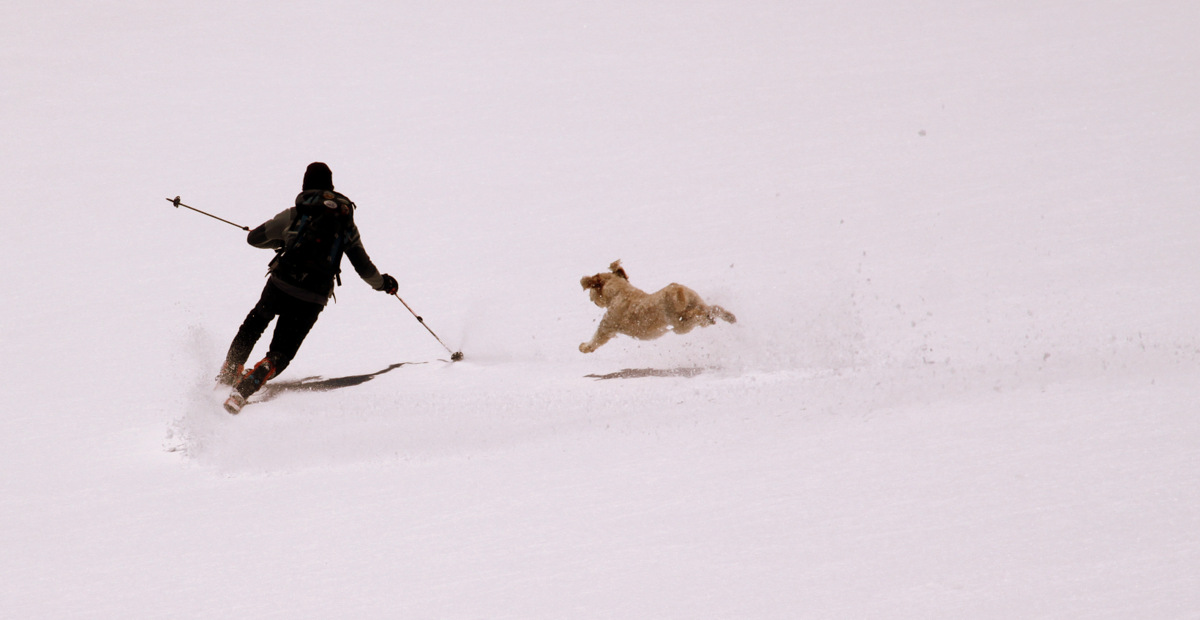
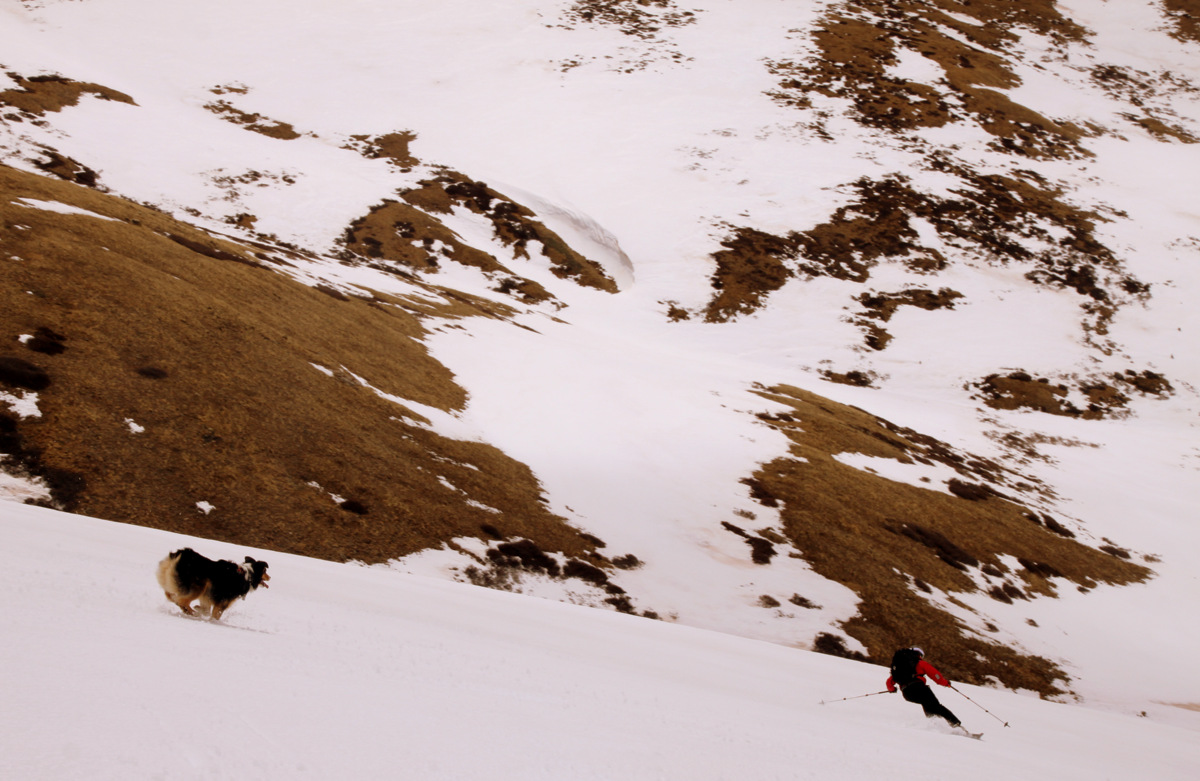
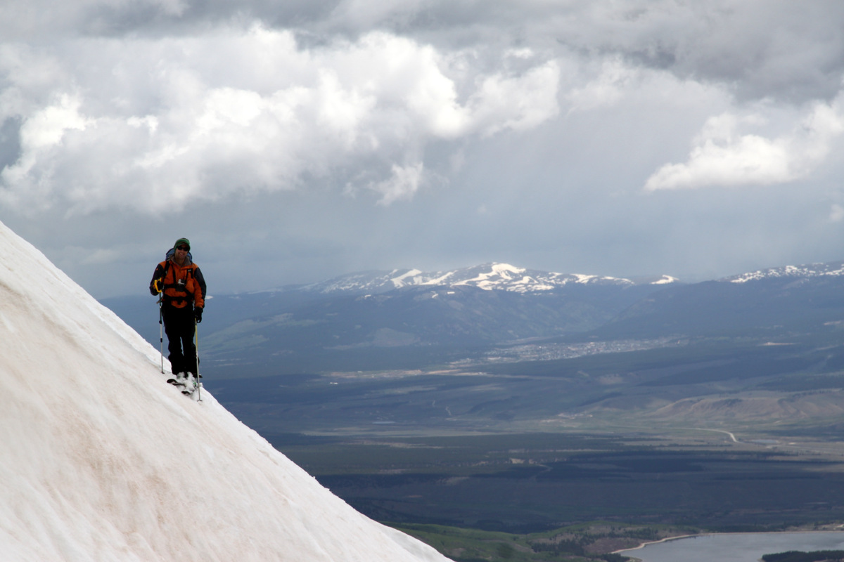
J halfway down the gully not really looking at where he is going
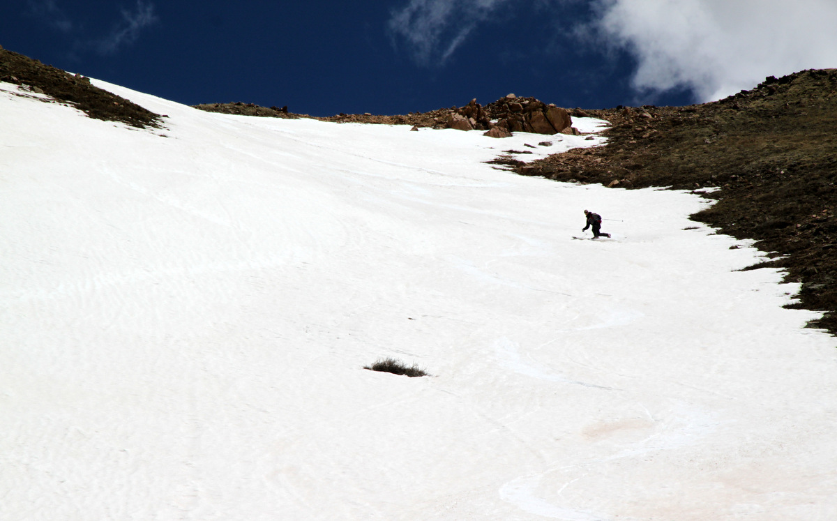
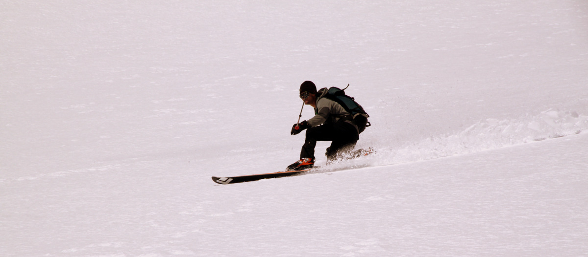
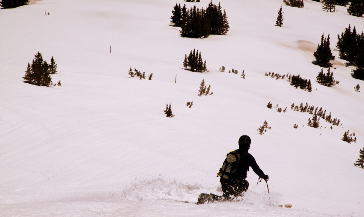
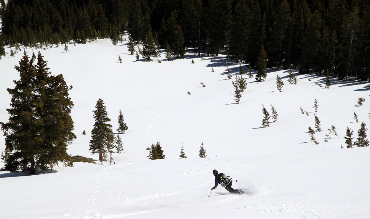
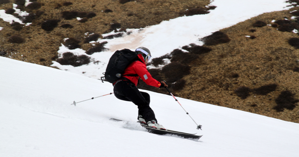
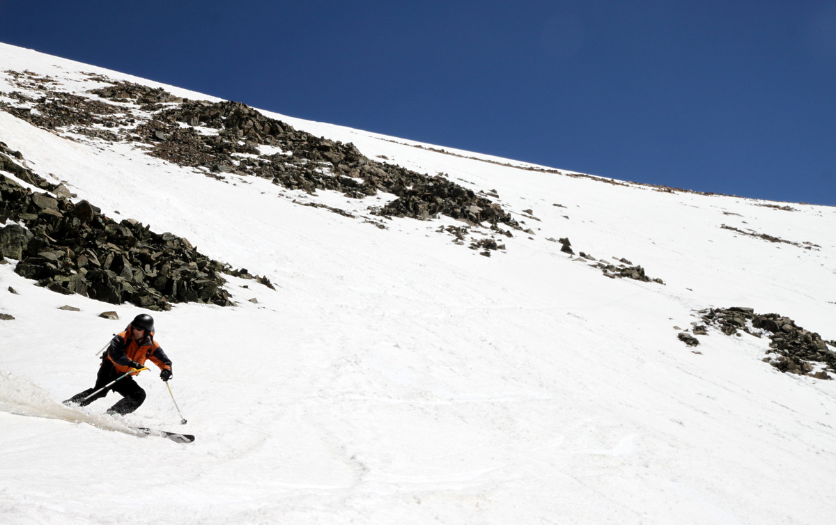
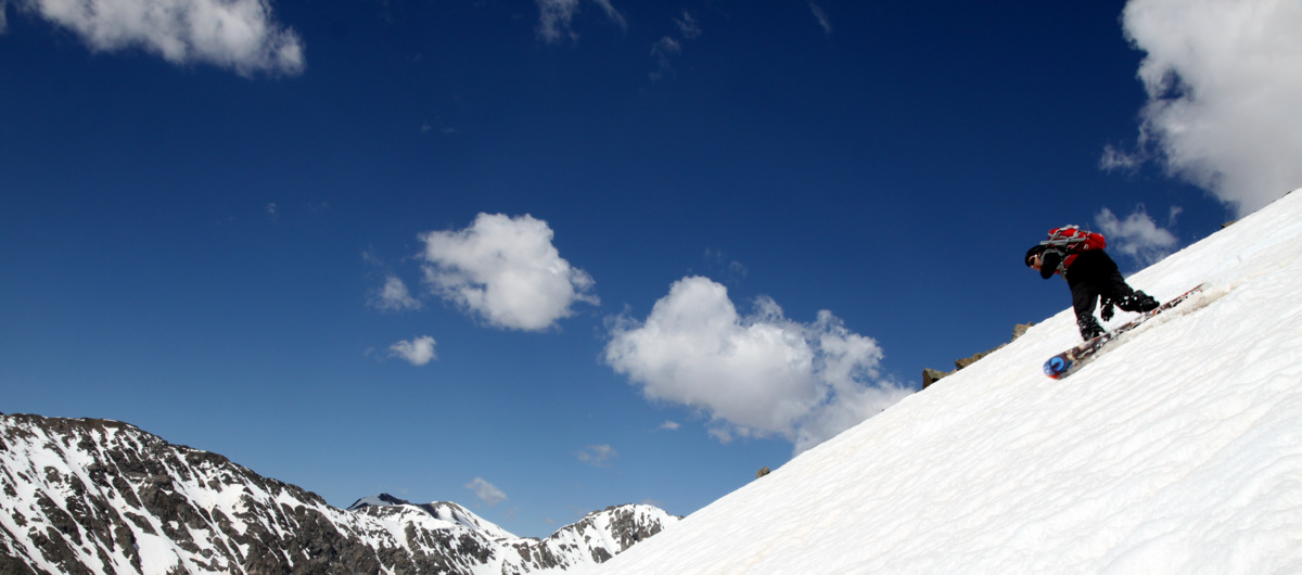
Me enjoying my tele turns. Photo by J
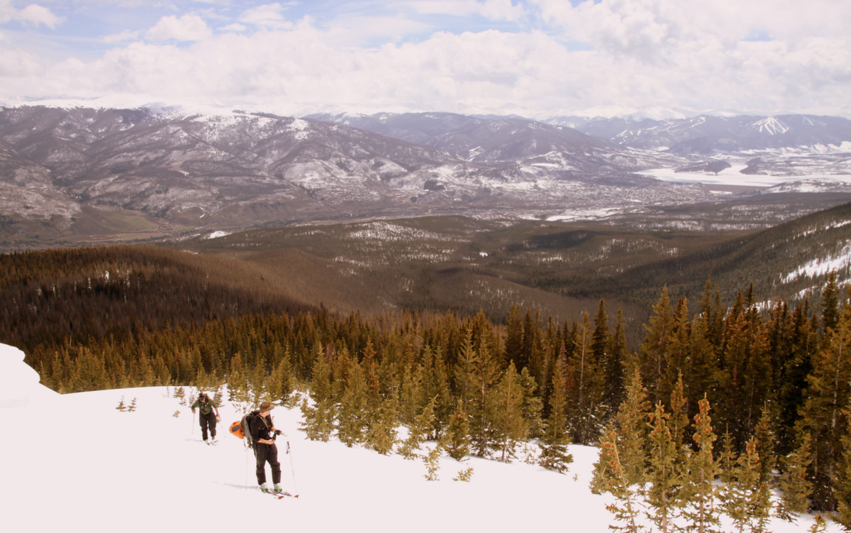
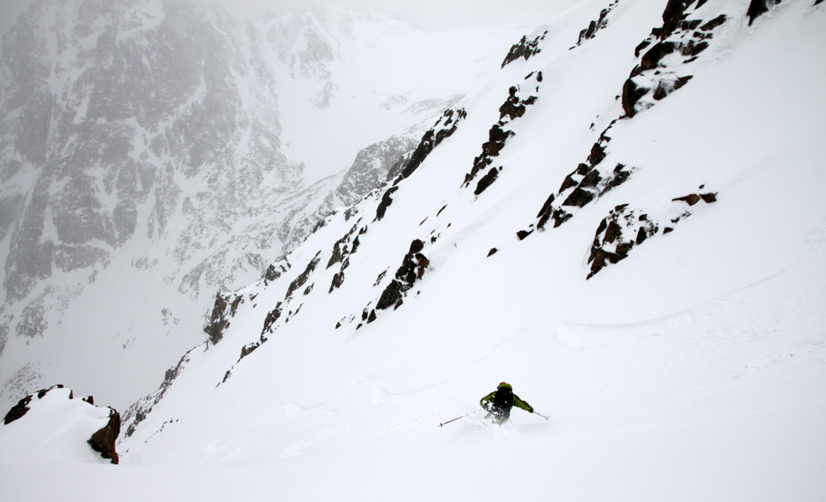
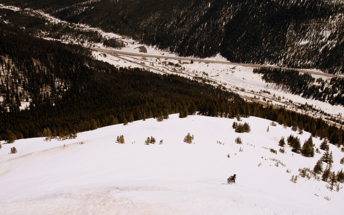
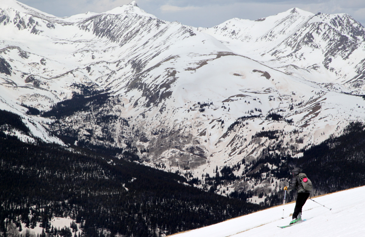
J lower down with Wheeler Mountain in the distance
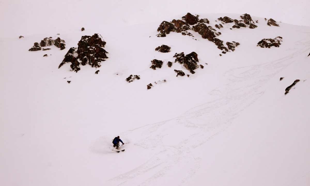
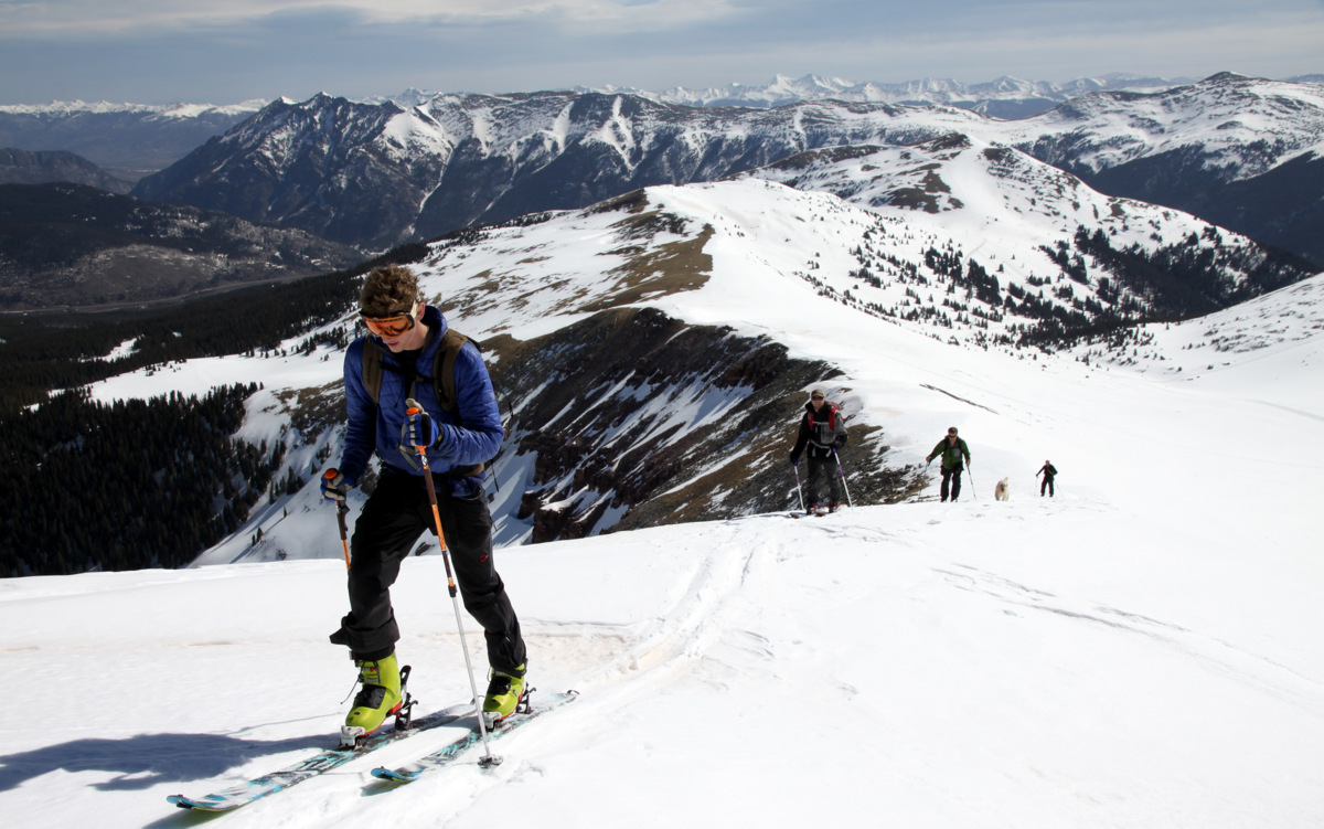
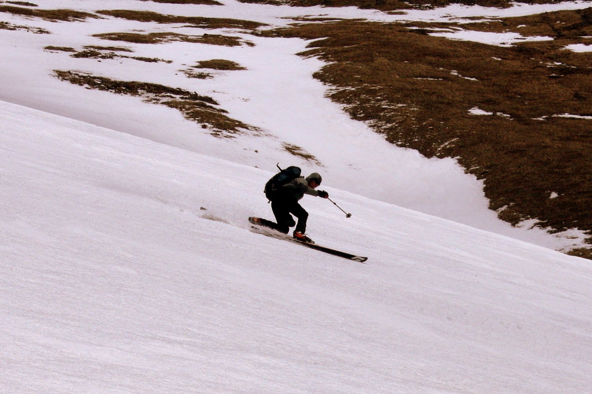
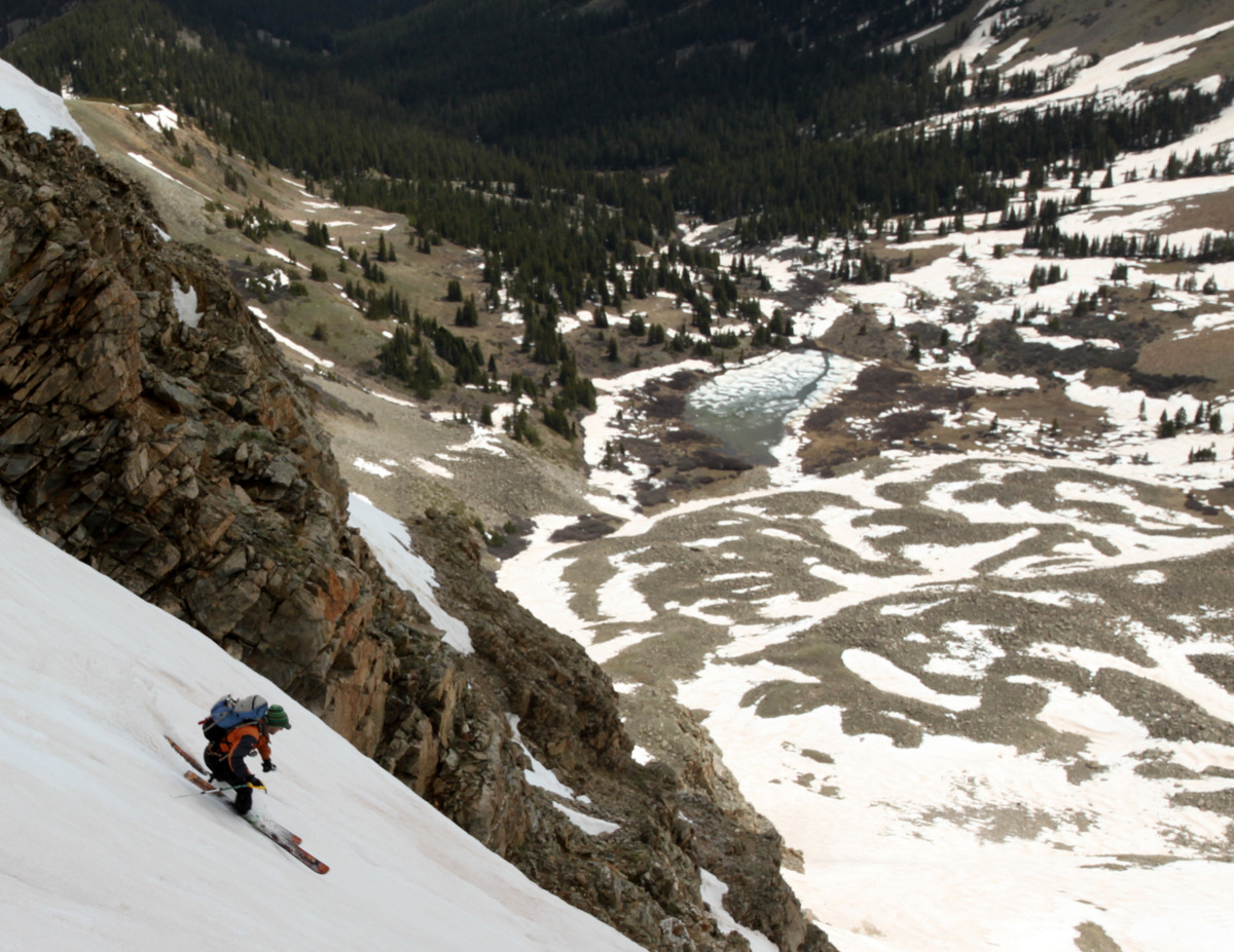
Mikey
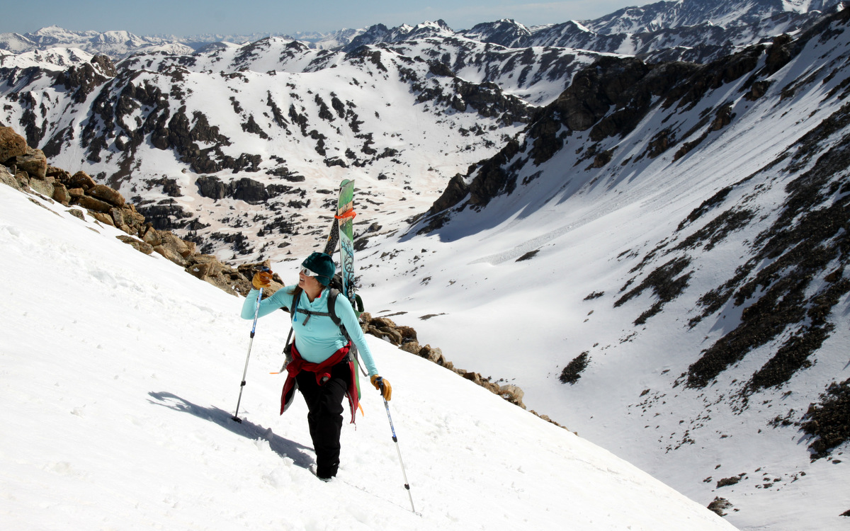
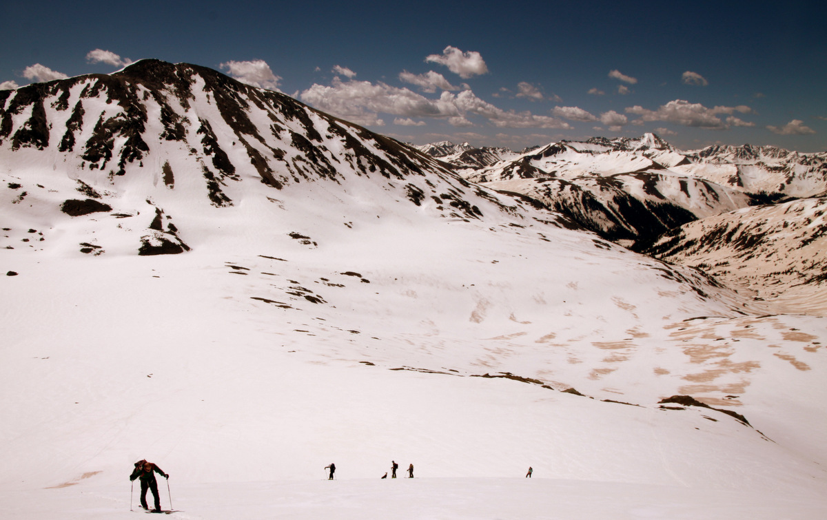
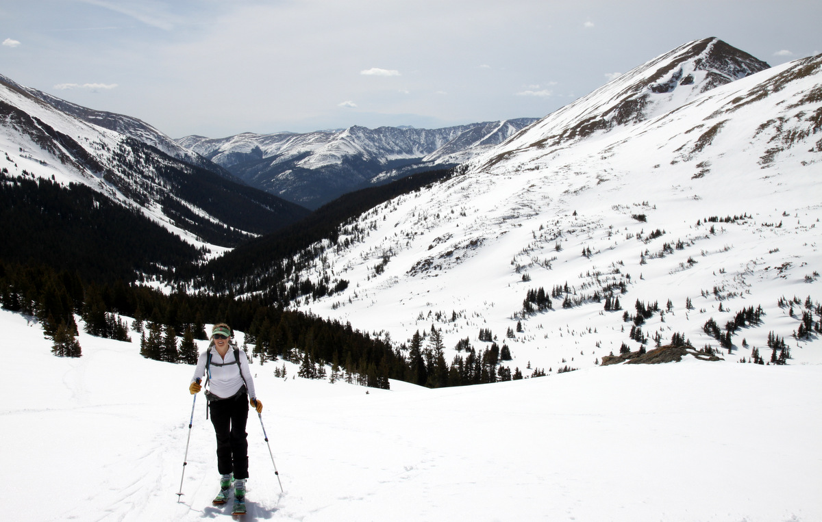
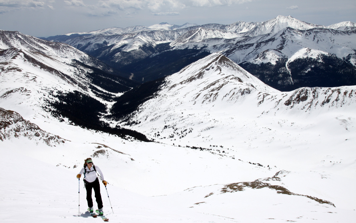
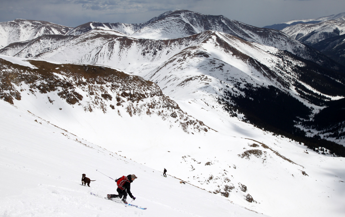
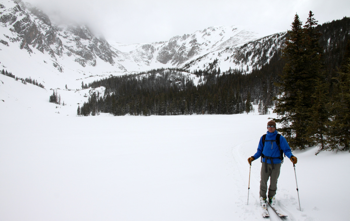
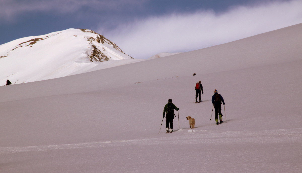
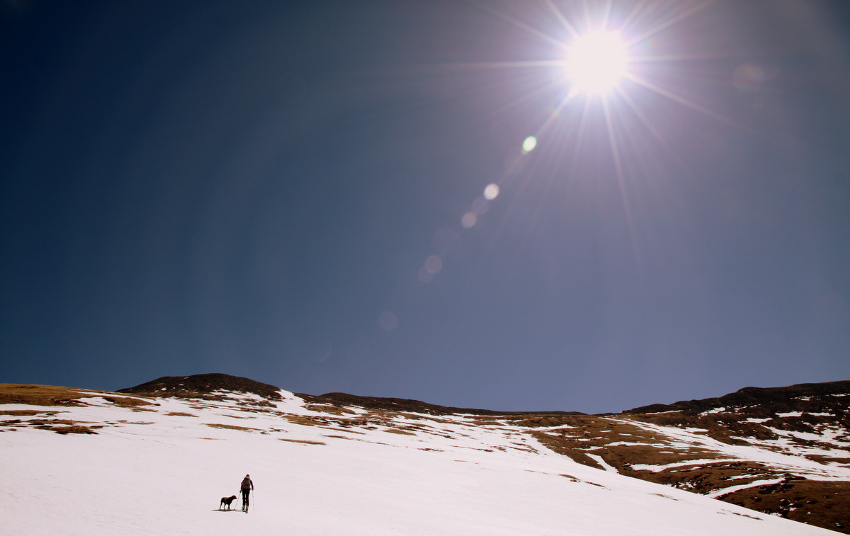
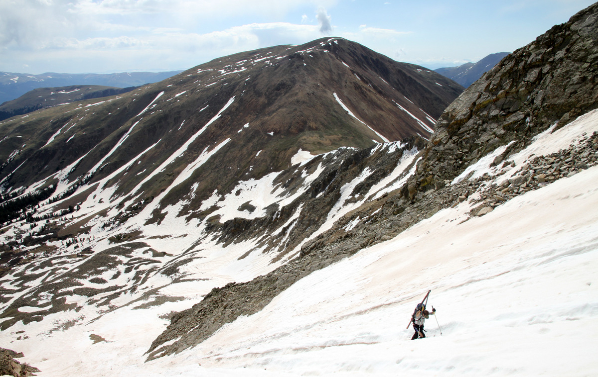
Next up Kristine & I left Edwards around 5:30am this past Saturday for the North Halfmoon Creek trailhead behind 14er Mt. Massive arriving at 7am and hiking up the trail to the high centennial 13er Mt. Oklahoma by 7:30am. Despite being a relatively short 7.5 mile roundtrip jaunt up the 3,400′ to Oklahoma’s summit, routefinding and navigational skills were put to the test a bit. Kristine did so well now being 22 weeks pregnant and I am so proud of her. The carrying of ski gear on our backs, river crossings, and bushwhacking definitely got her a bit tired but she persevered on to about 13,100′ until she thought she should go no further not pushing the envelope too much with fatigue and her pregnancy. Despite a 40% chance of thunderstorms in the weather forecast, we had a beautiful morning. I skied down from the summit at about 11am and the snow was just perfect. Kristine was at a rock outcrop at about 13,100′ above the snow-covered headwall and we skied down together from there. It was a great day out together and we were back at the car at about 2pm for a 6 1/2 hour day. Pics of the day are below:
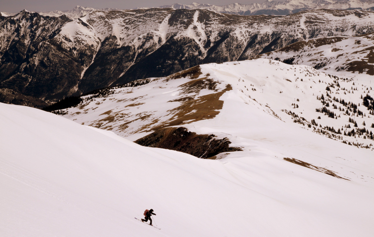
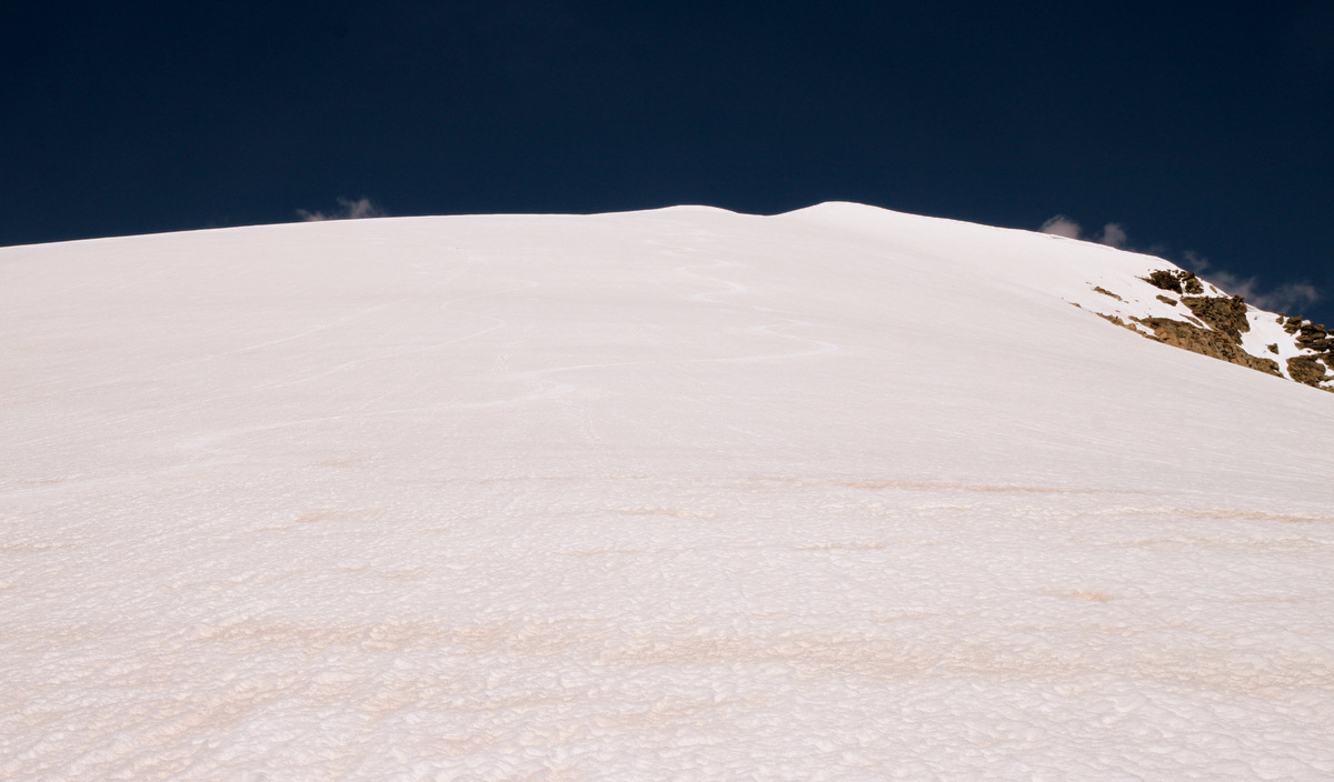
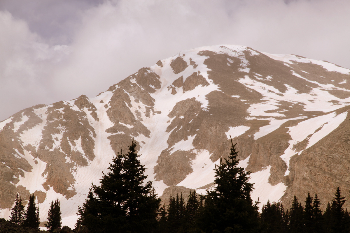
Ski line down the centennial 13er Mt. Oklahoma from the North Halfmoon Creek trail on the way in
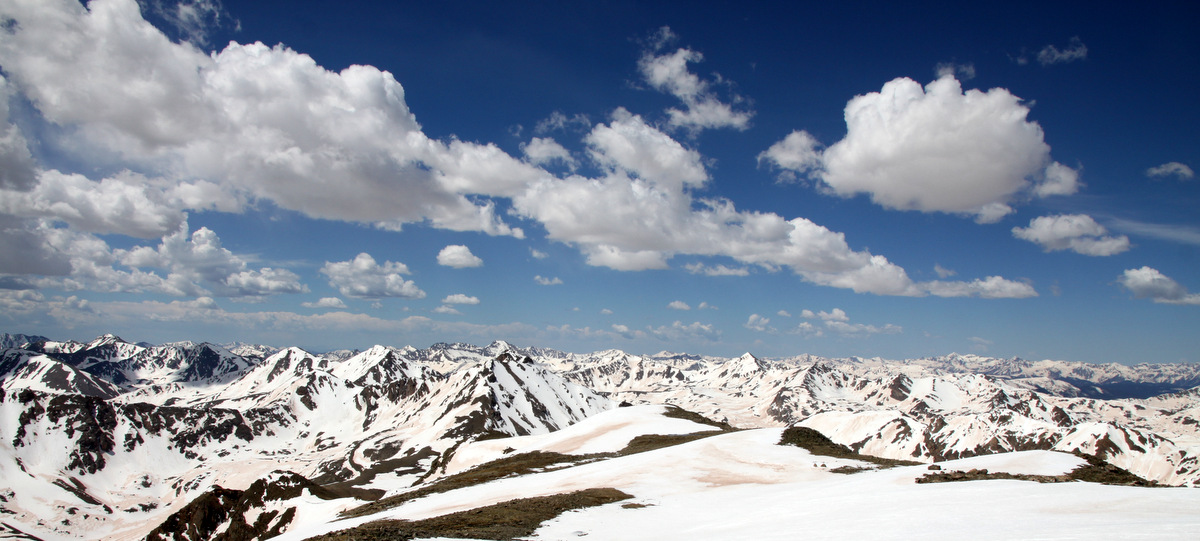
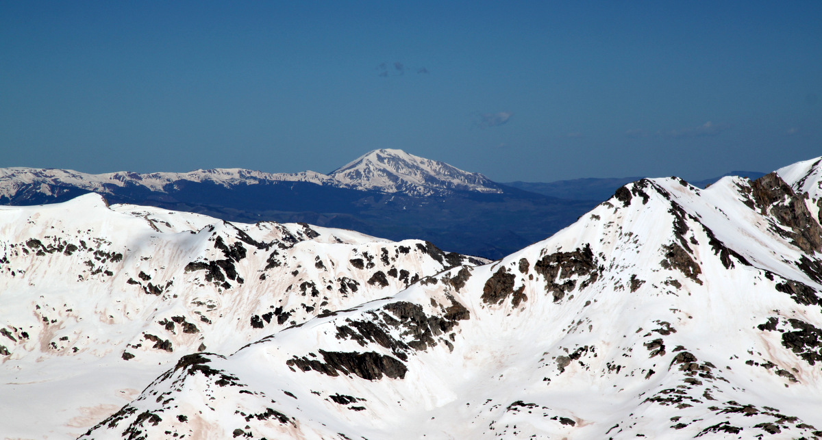
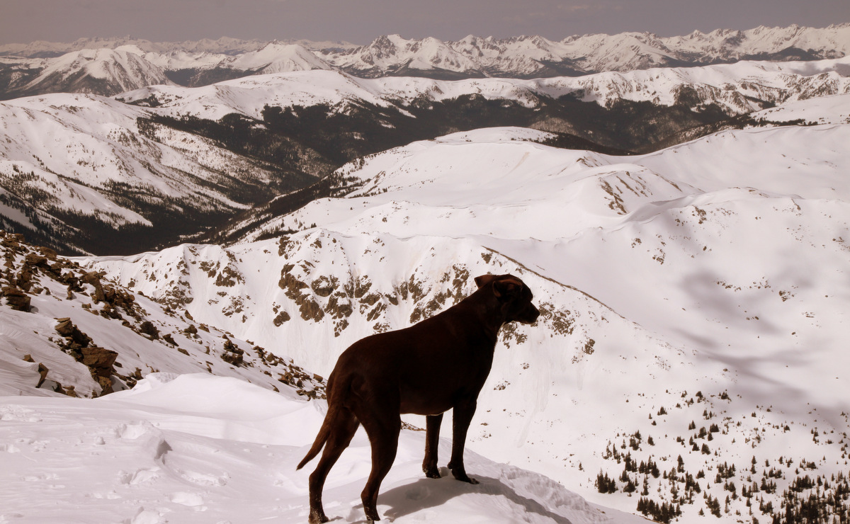
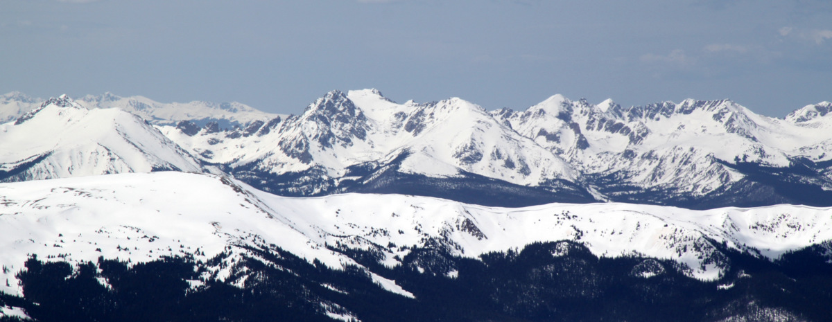
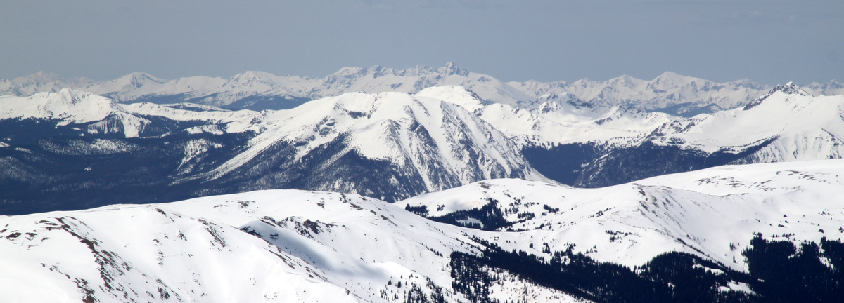
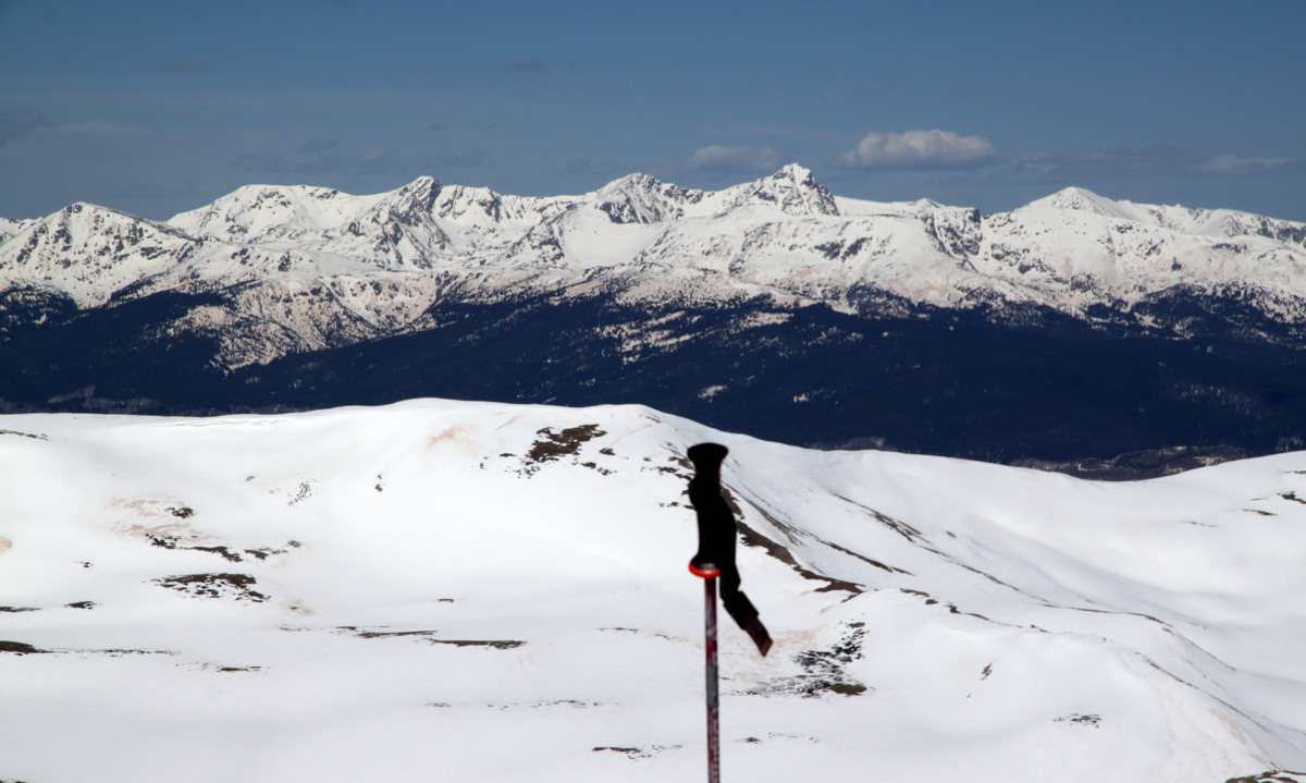
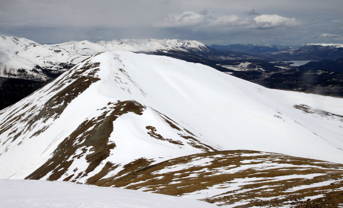
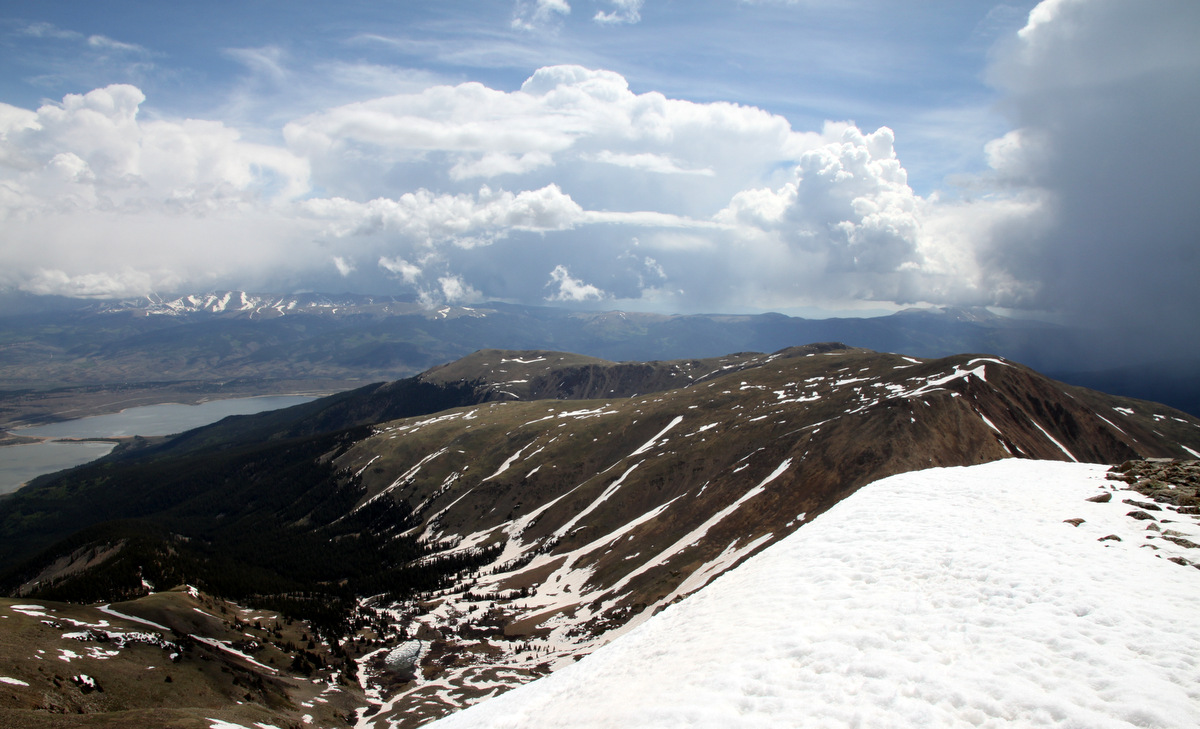
Summit view to the west
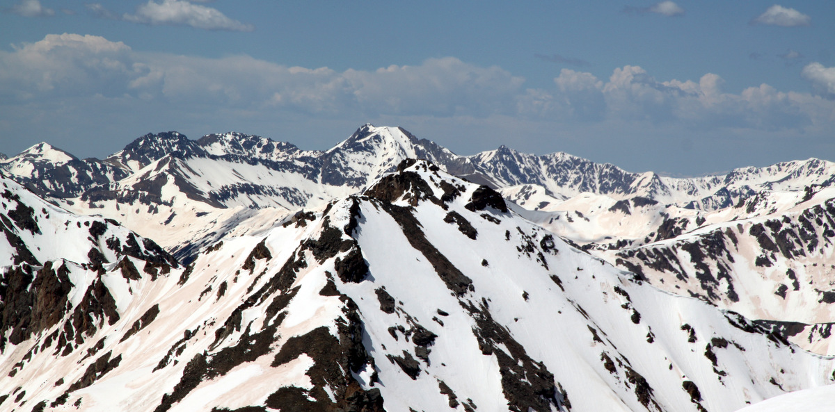
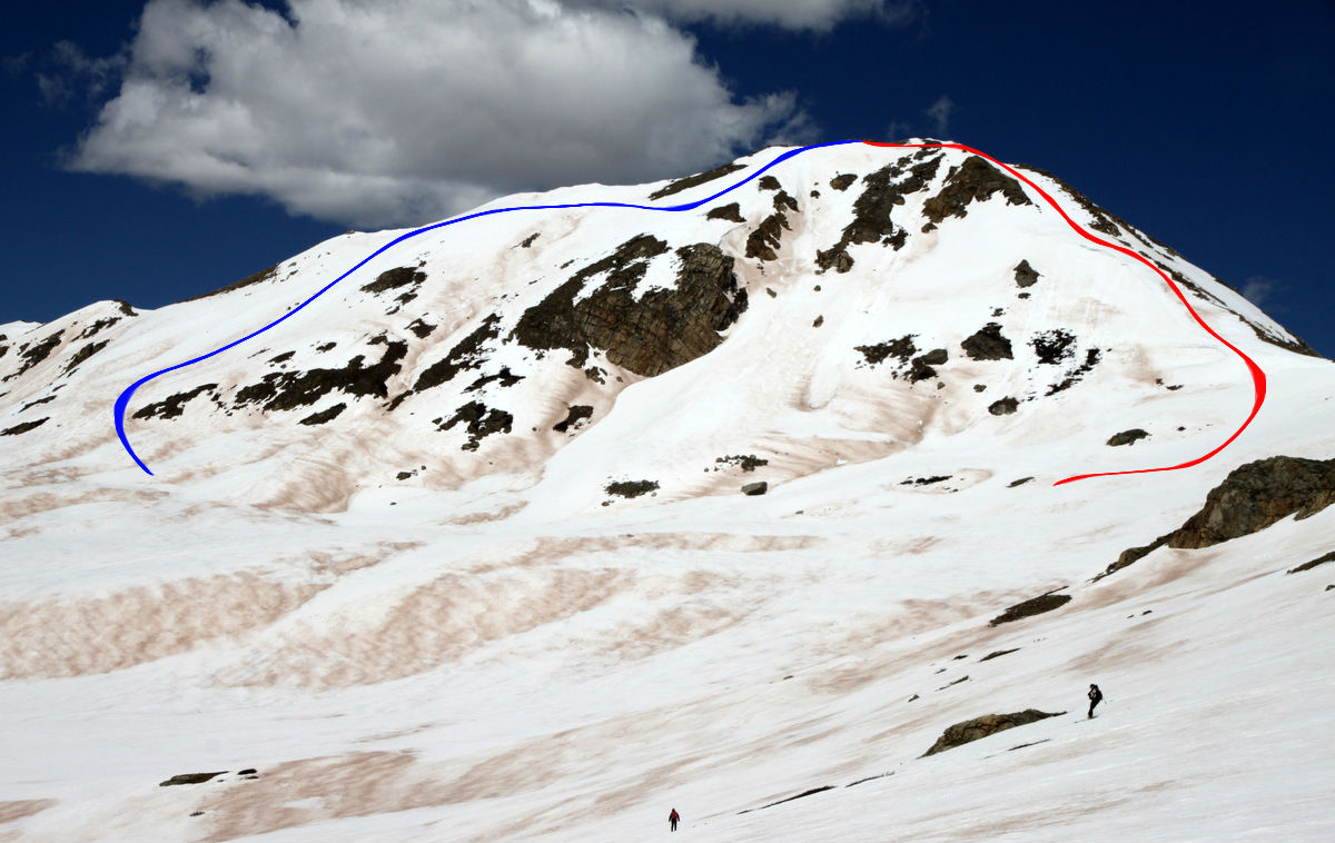
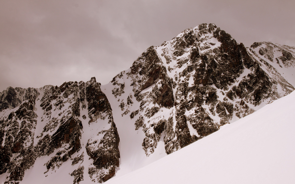
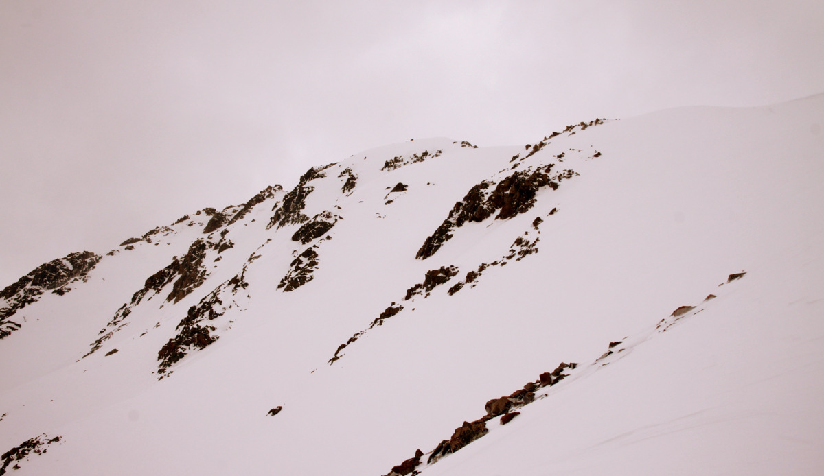
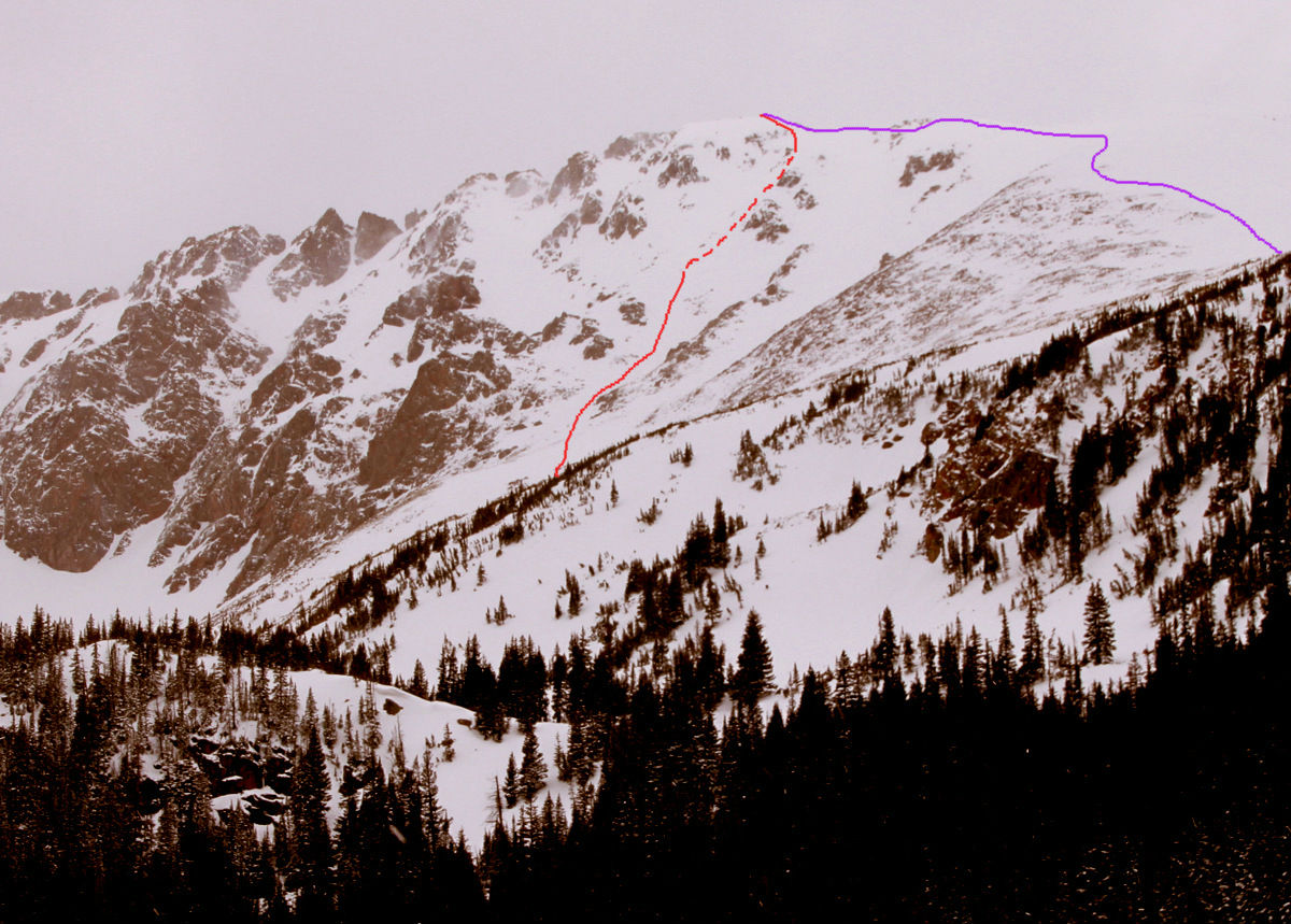
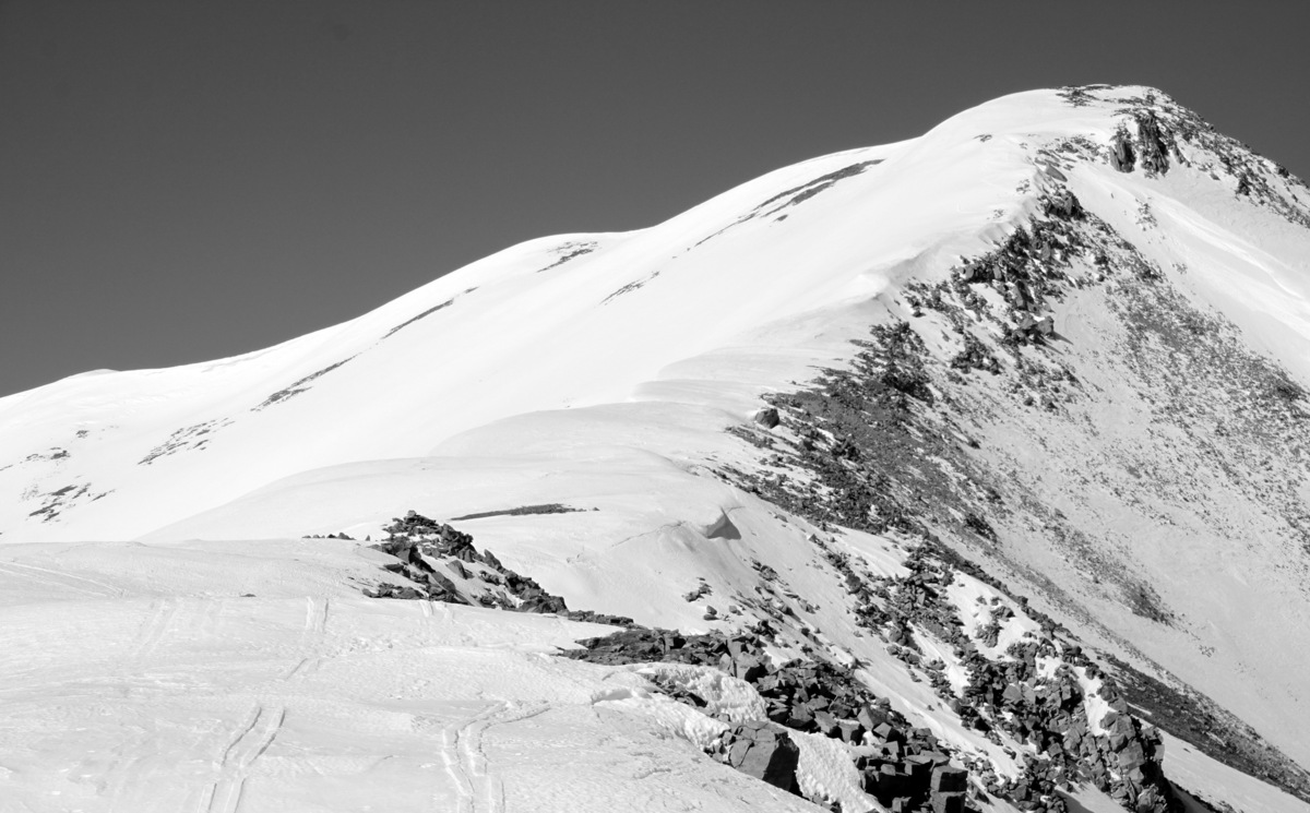
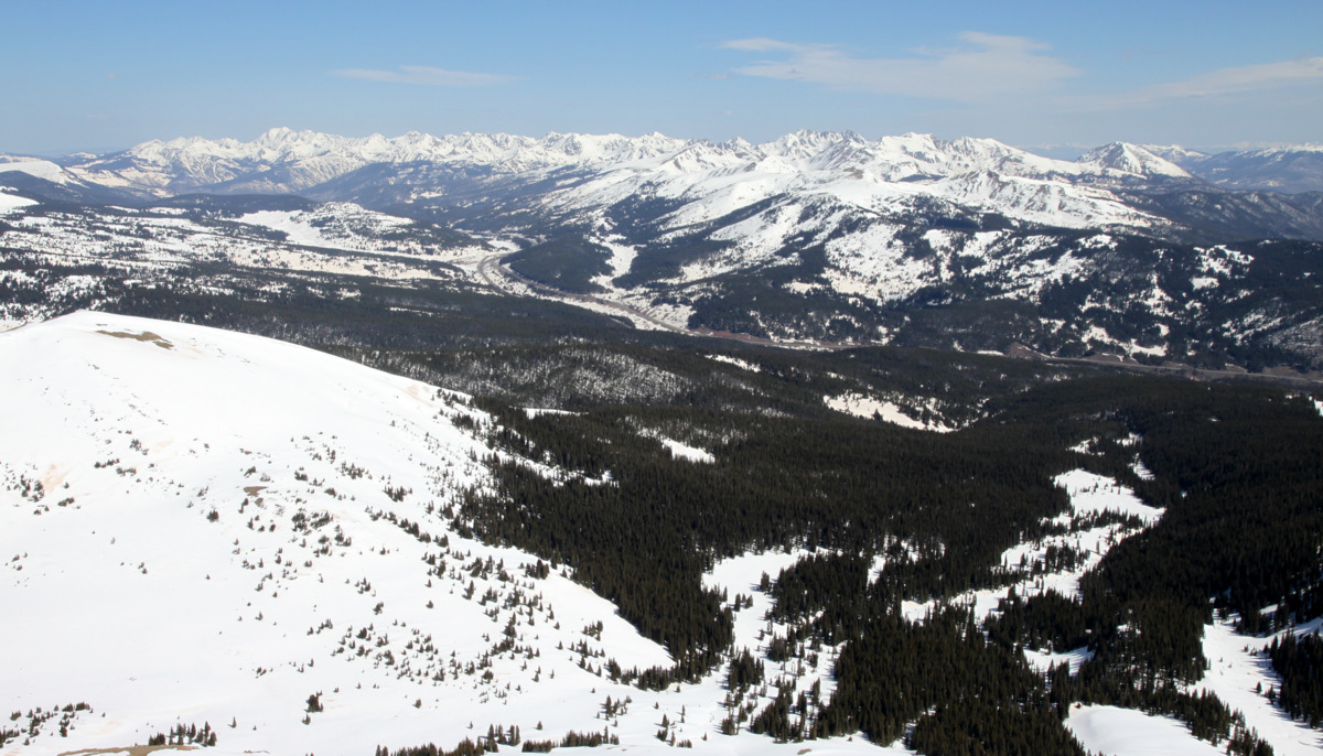
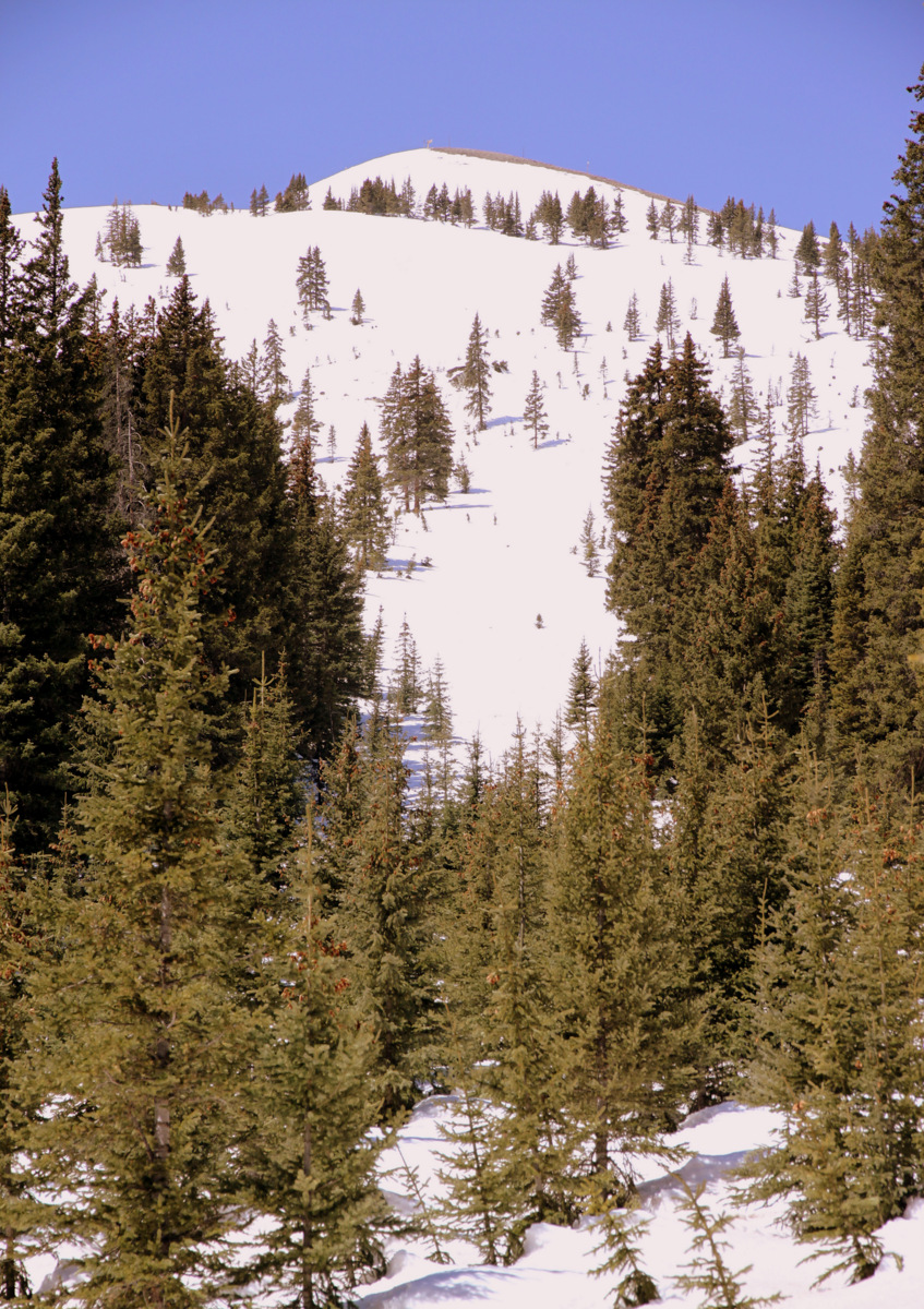
Close-up of Grizzly’s North Couloir from Oklahoma’s summit, which we hope to climb/ski in 2 weeks or so
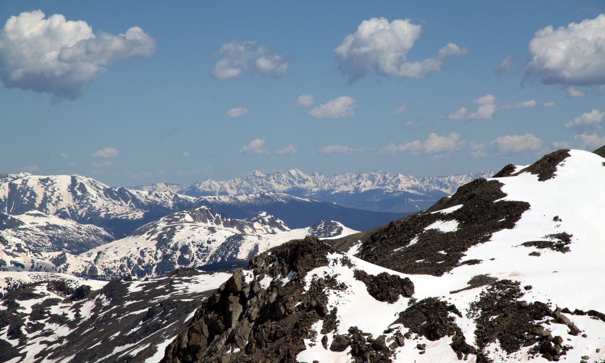
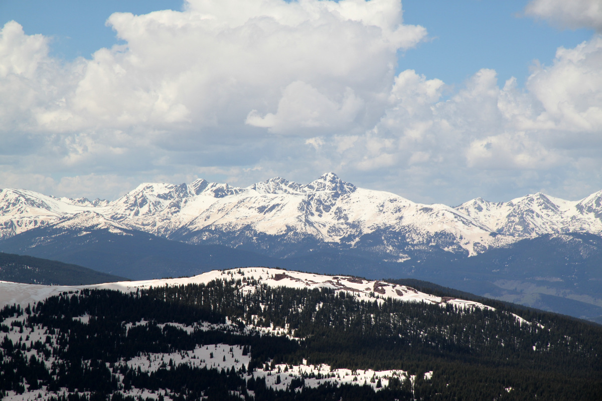
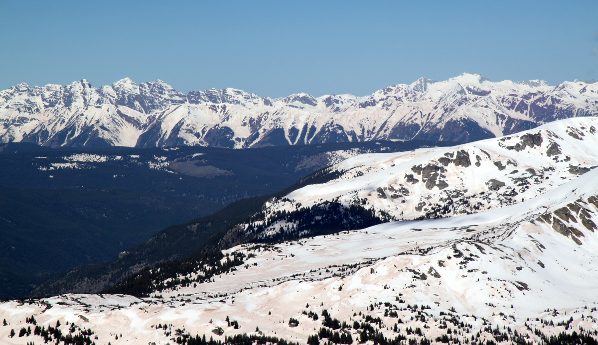
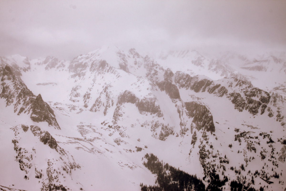
Our beloved Gores in the distance

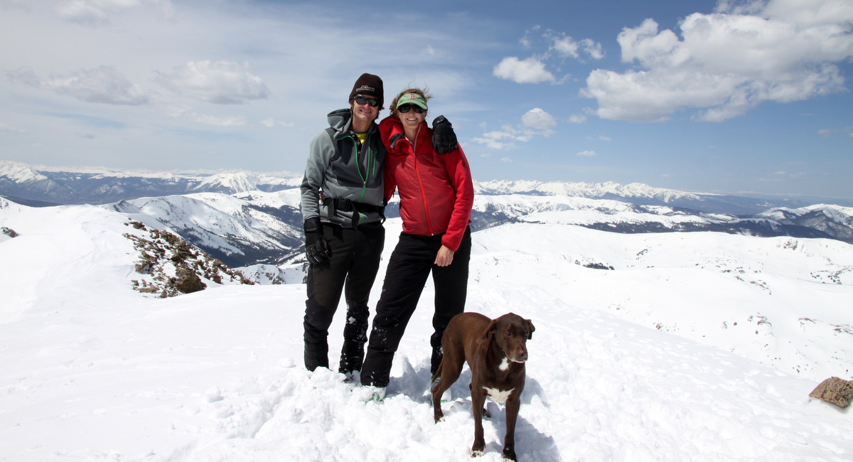
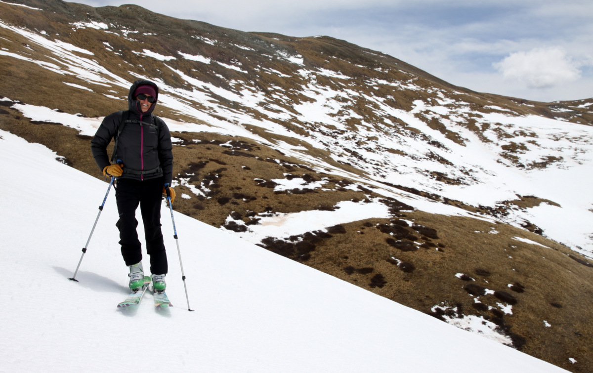
Mt. Oklahoma summit (13,845′)
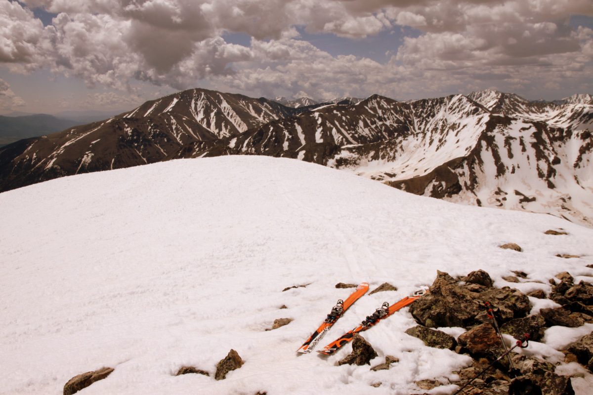
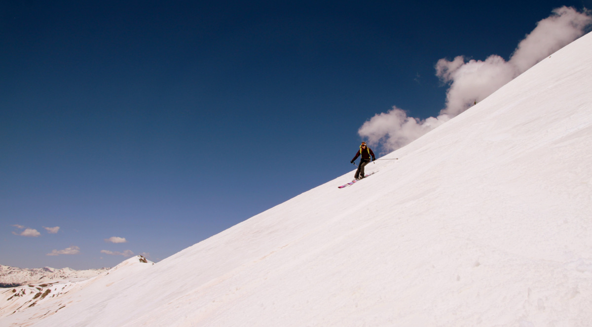
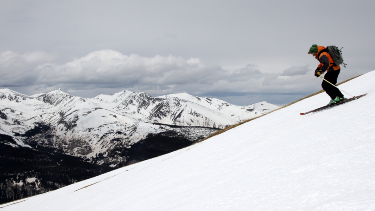
Time to ski
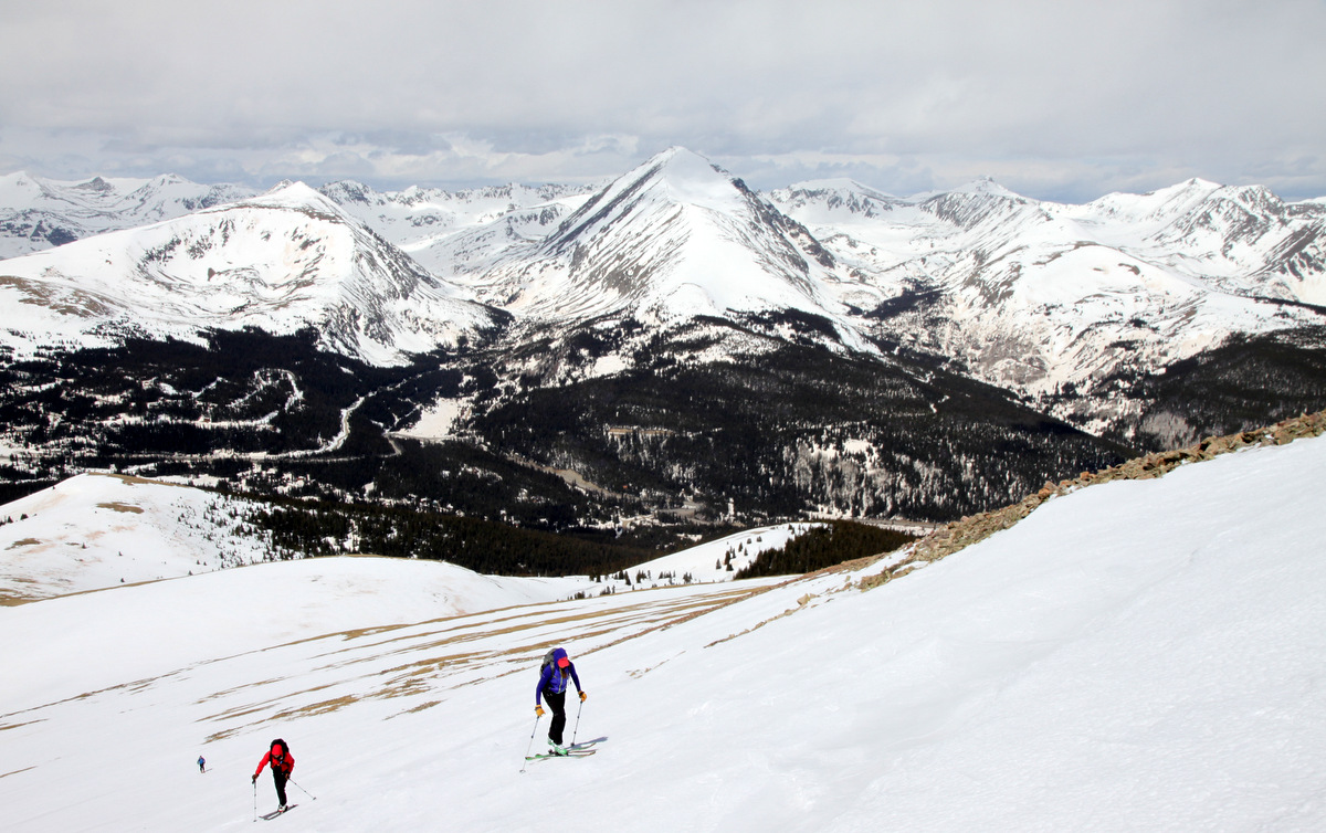
My tracks down the awesome low-angle upper 800′ of Oklahoma from the summit
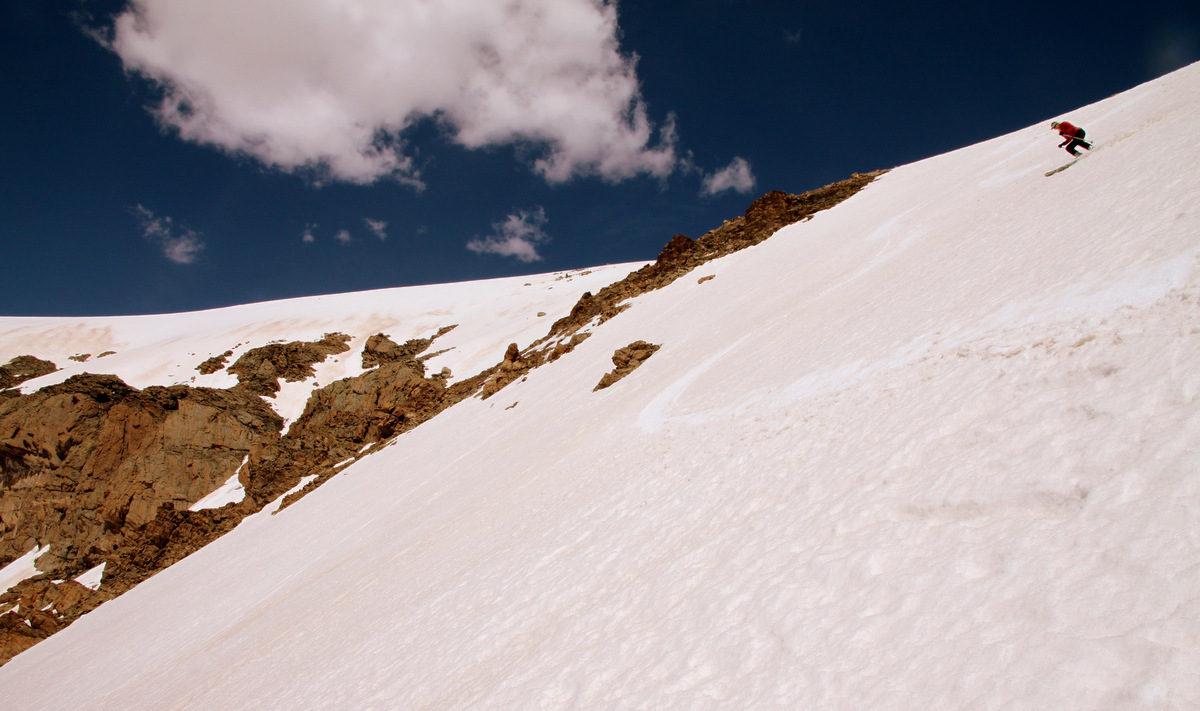
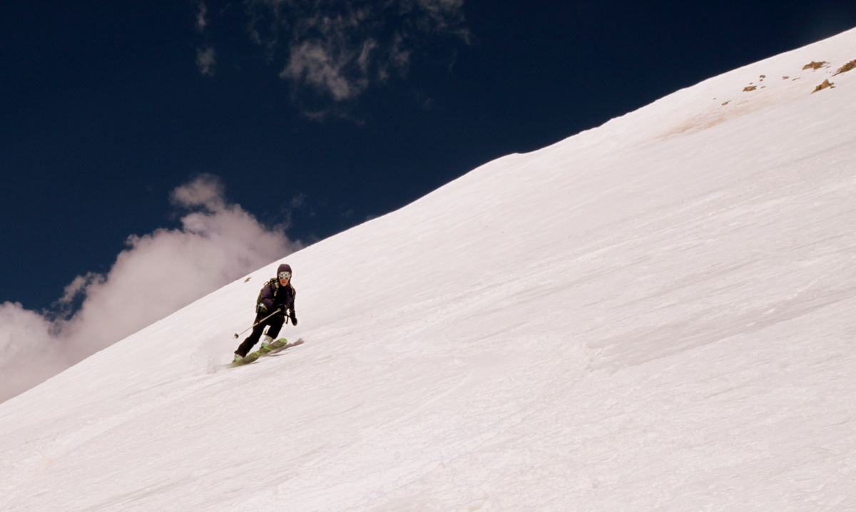
Kristine in great form on the steeper headwall
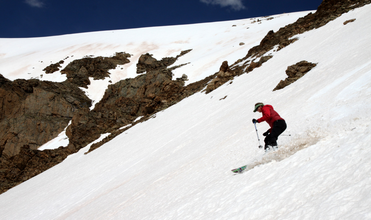
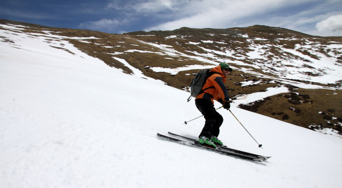
Kristine enjoying the turns
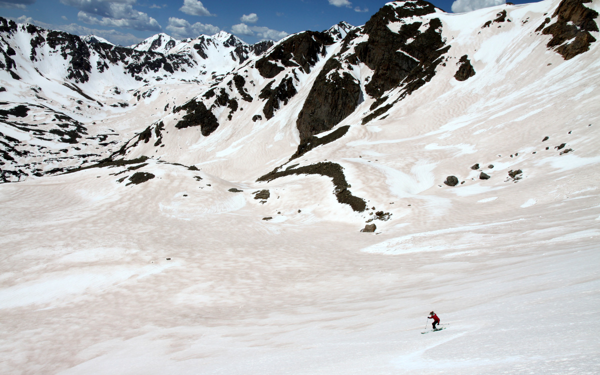
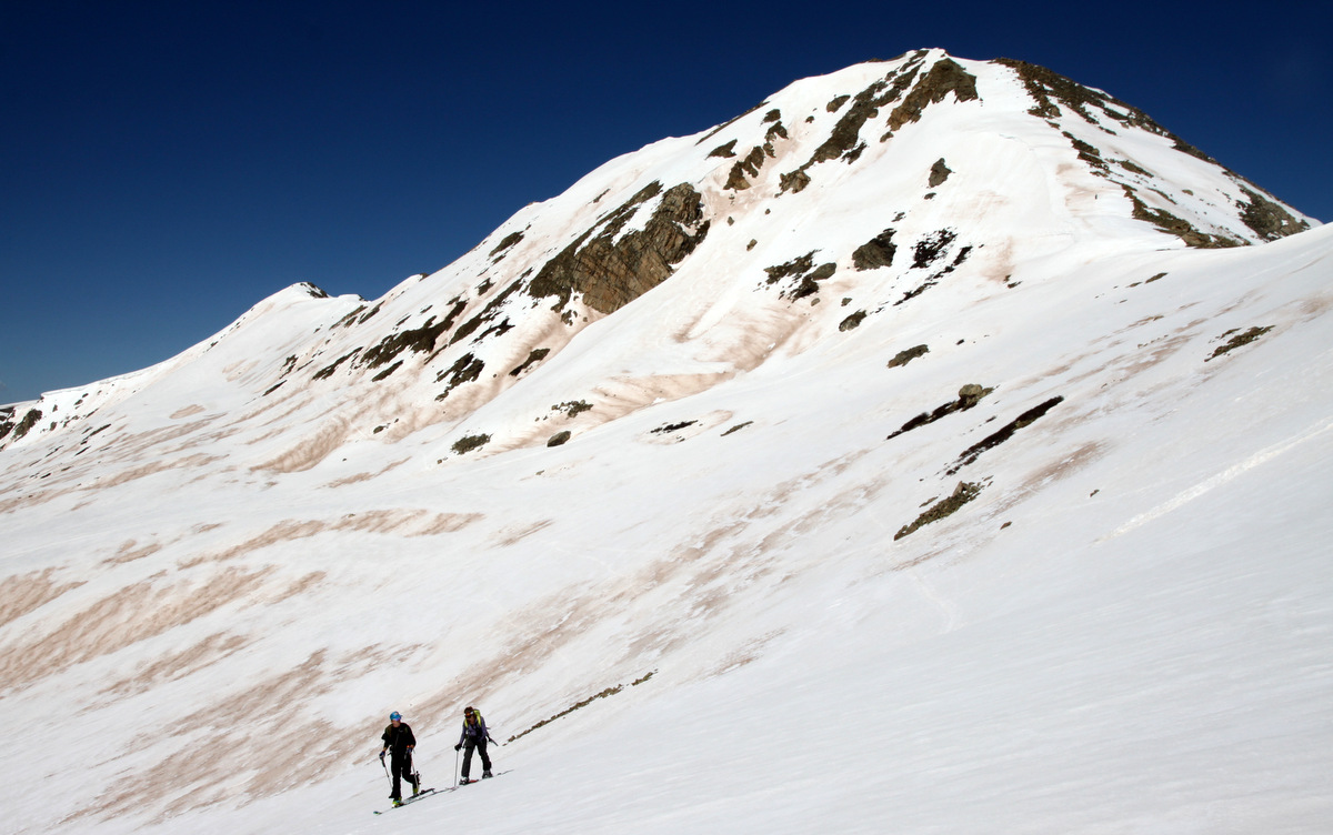
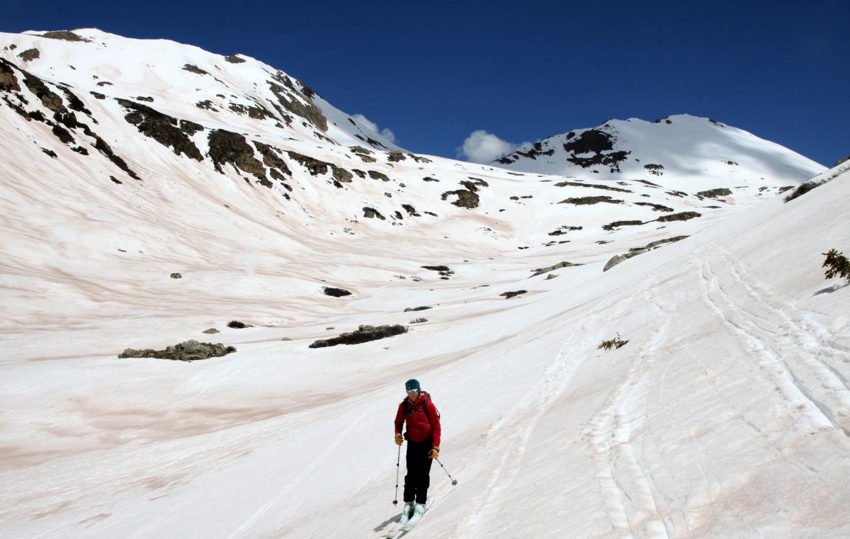
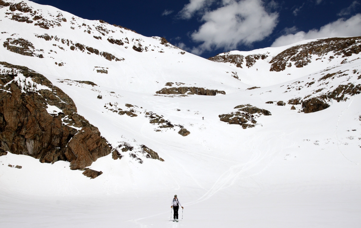
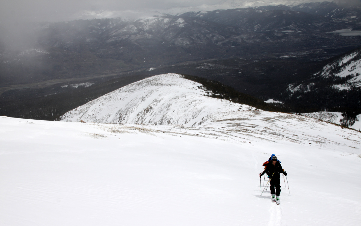
Skiing into the high basin

Our turns down from 13,100′ to the high basin
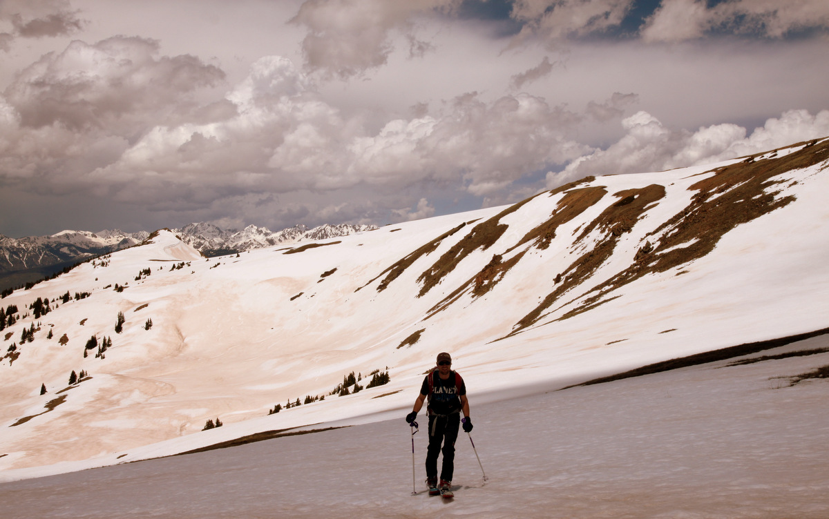
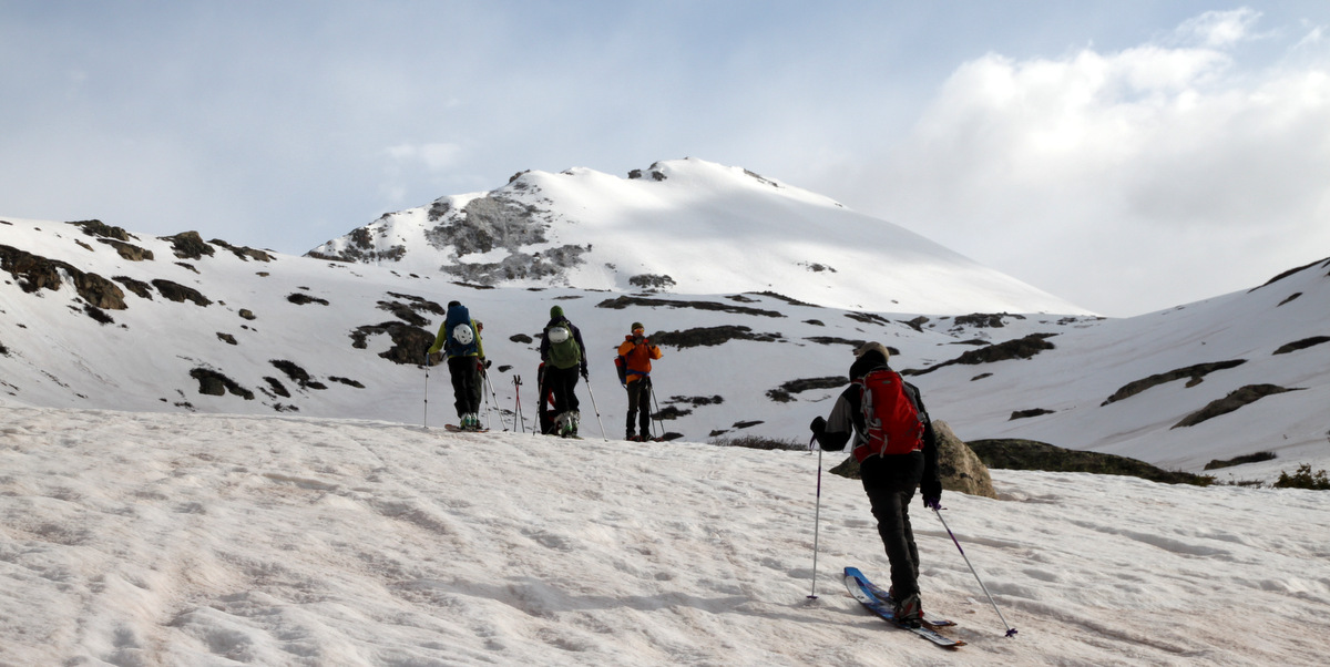
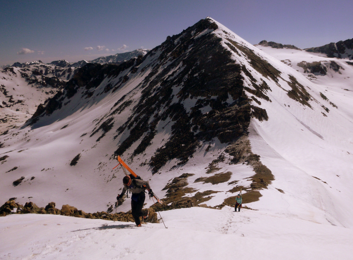
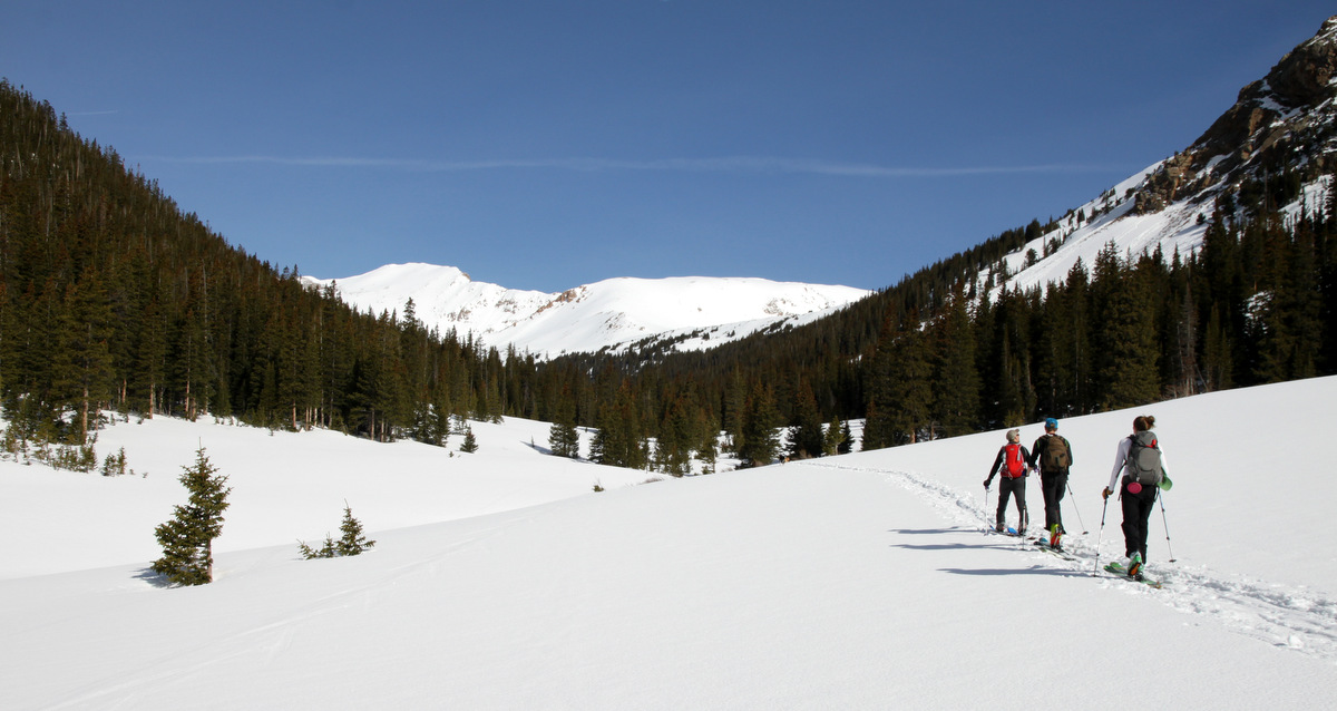
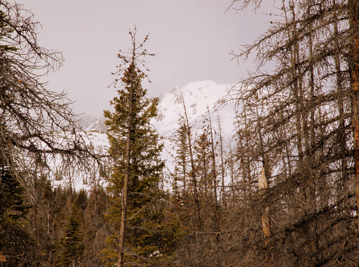
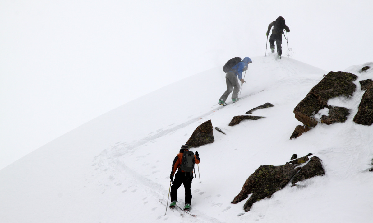
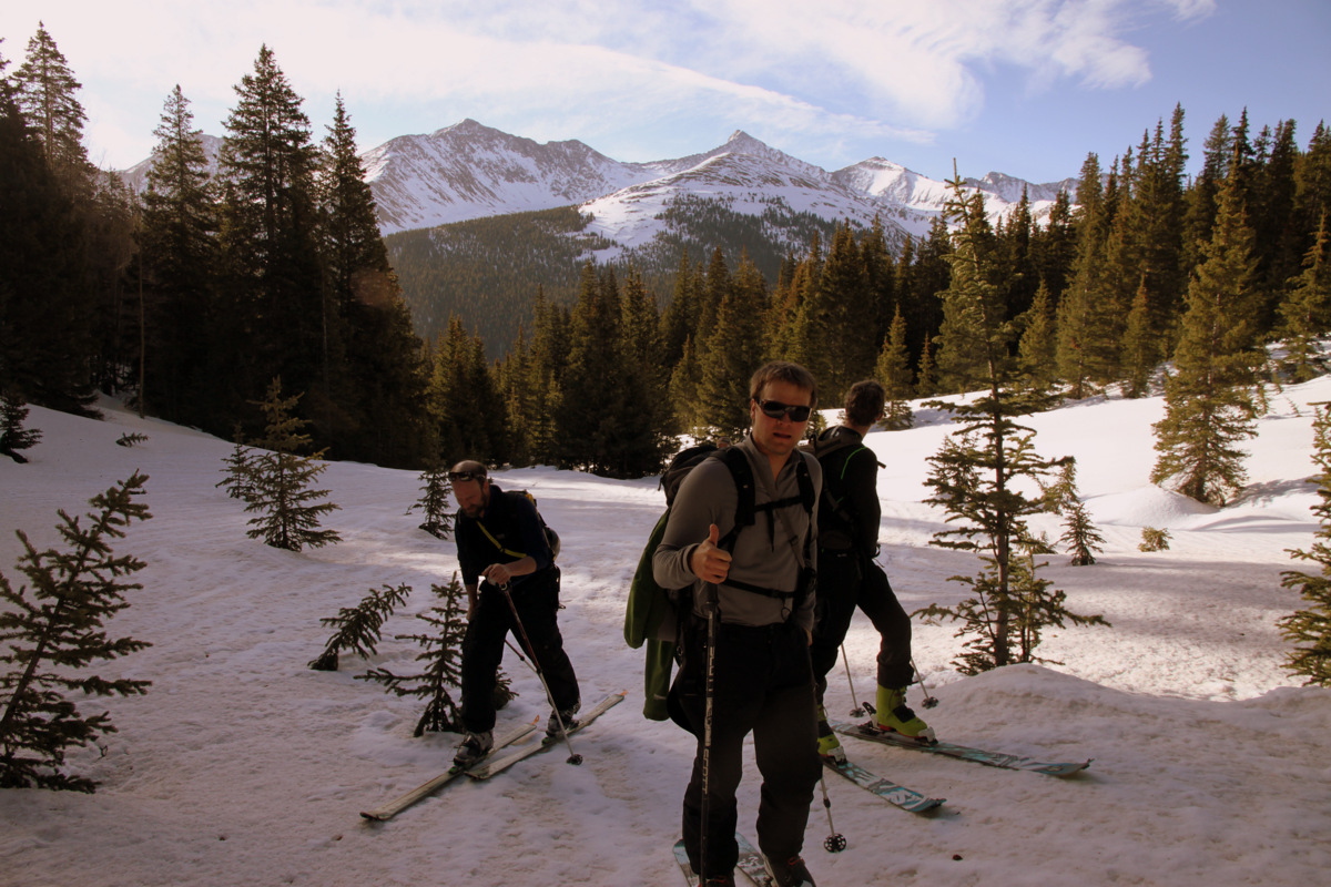
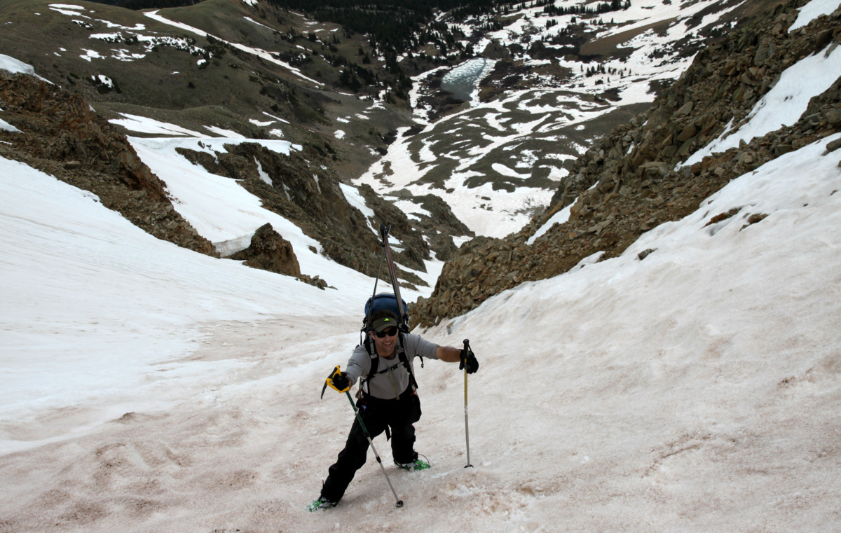
About 7 hours after Kristine and I returned home to Edwards, J and I left for the Leadville area again not really certain on which peak we wanted to hit. We were thinking about Grizzly Peak’s North Couloir, but the Lincoln Creek road was not open yet making for a 12 mile RT day with 5,200′ of elevation gain all above treeline from Independence Pass. With the imposing 50% chance of thunderstorms and snow showers all day, this was probably not a smart idea nor would be all that much fun. Also, my friend Natalie was now going for Oklahoma as they had had a big day up on Castle Peak and wanted something a bit shorter. We were trying to think of a car-camping place on the east side of Independence Pass along Highway 82 when I suggested the Willis Gulch trailhead which leads to the high centennial 13er Mt. Hope. Voila! We will go for the classic Hopeful Couloir on Mt. Hope. This sounded like a better plan as it allowed us to much more easily escape to the cover of treeline should weather roll in. Nevertheless, it was still almost the same stats as Grizzly from Independence Pass at about 11.5 miles RT with 4,700′ of elevation gain. After one of the best night’s sleep I have had in the back of my truck with the tailgate down and the roaring waters of Lake Creek 15 yards away, J and I were off trucking up the Willis Gulch trail around 5:45am in our trail shoes with all our ski gear on our packs. Not knowing where snowline may occur in this north facing gulch, we were prepared to be carrying our gear for a long ways.
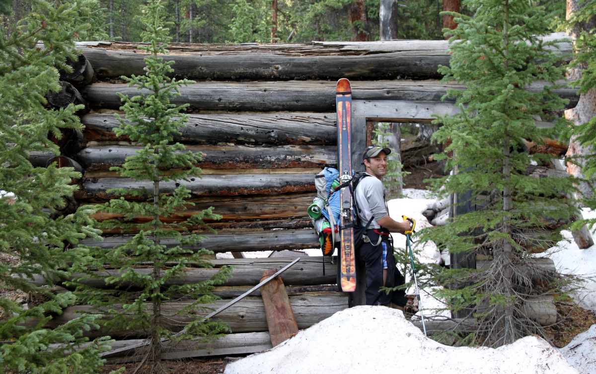
On the approach up Willis Gulch to Mt. Hope. J loves old mining cabins
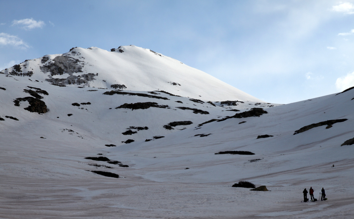
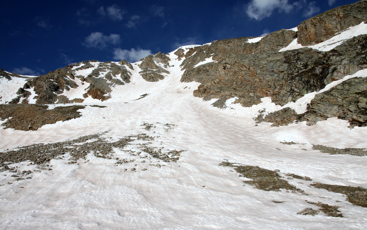
The miles and vertical went fast though and we were at the base of the Hopeful Couloir at about 11,800′ in about 2.5 hours.The Willis Gulch and then Little Willis Gulch trails are good trails and easy to follow until we got into upper Little Willis Gulch where a few snow drifts prompted some route-finding.
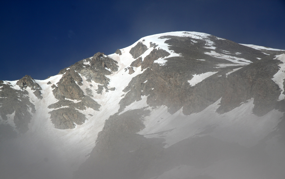
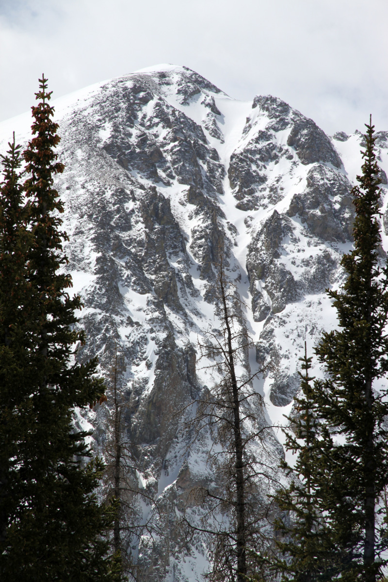
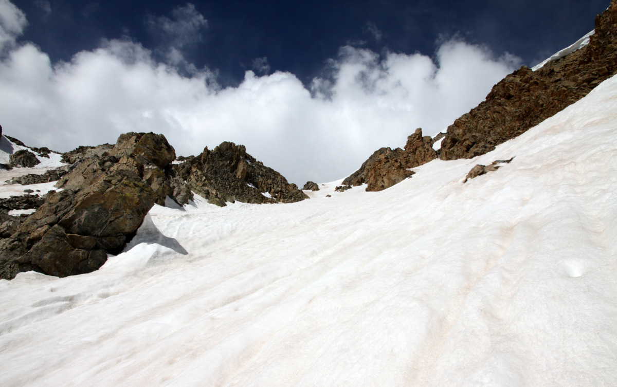
The Hopeful Couloir on Mt. Hope in the morning fog
The Hopeful Couloir from 11,800′ at its base
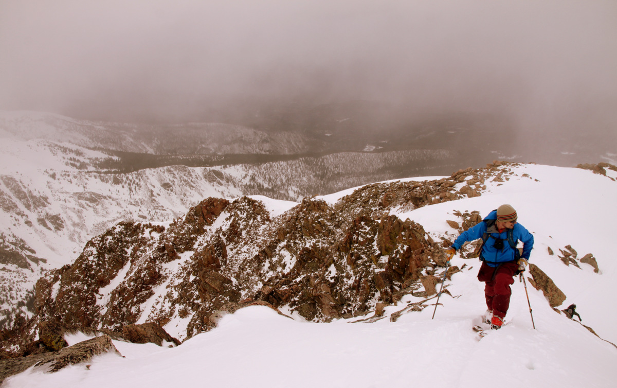
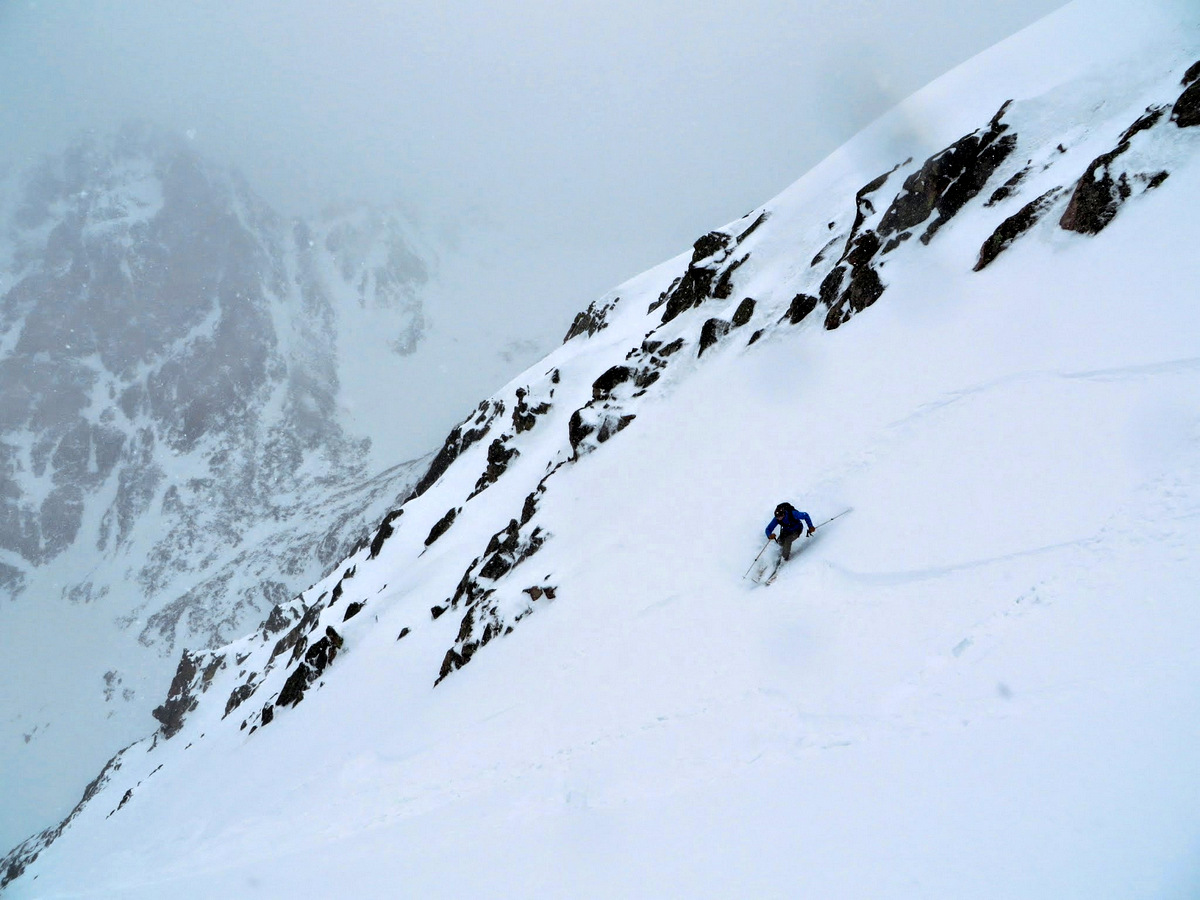
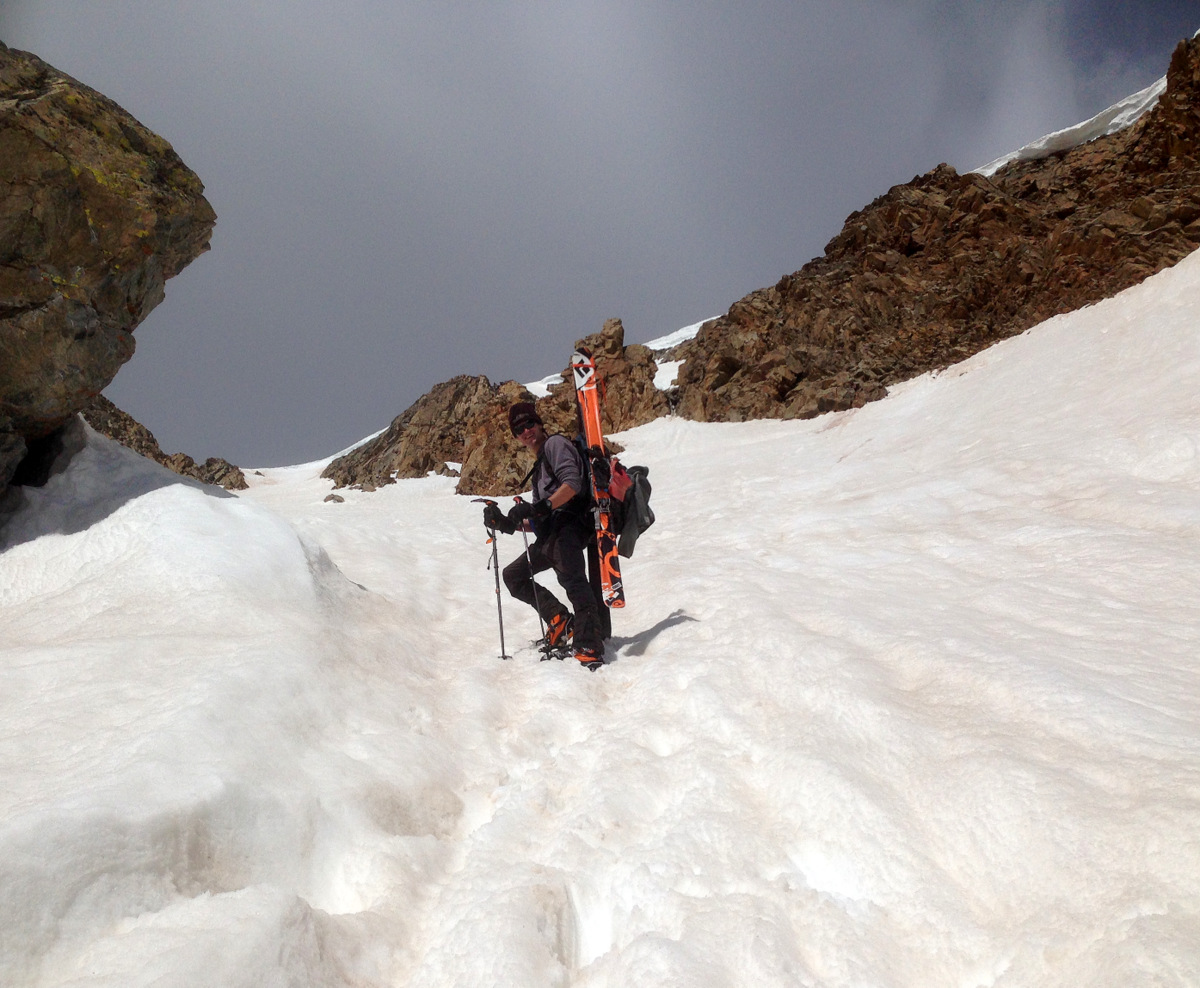
Never donning our skins on our skis, at the base of the couloir we switched trail shoes for ski boots and crampons and away we went booting straight up the Hopeful Couloir. It was a fun climb, a little mushy here and there, but overall good kick-stepping in decent snow. The 2,000′ couloir angle averages around 36 degrees but tops out closer to 50 degrees near the top.
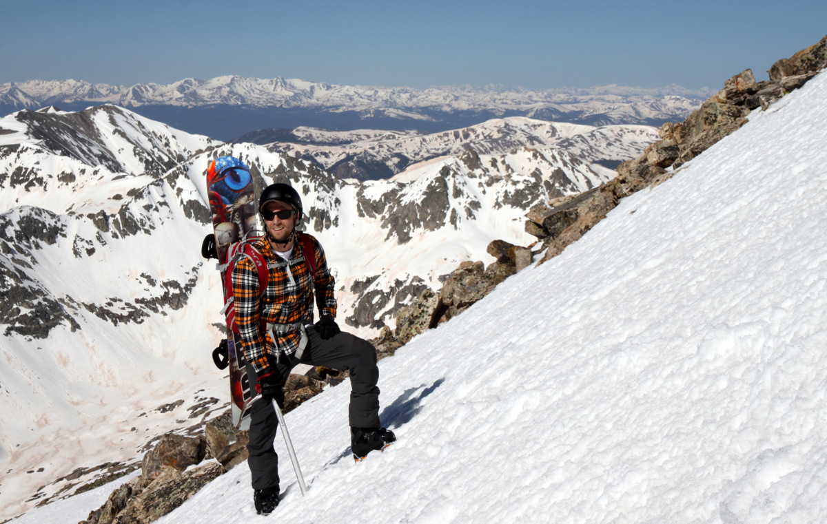
J showing some leg 🙂
In the middle of the Hopeful
J climbing the Hopeful
Steepening a bit
Fun climbing and the weather was holding for the time being
Me climbing up and up
J in the upper section of the couloir
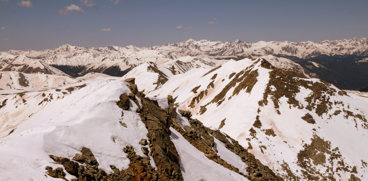
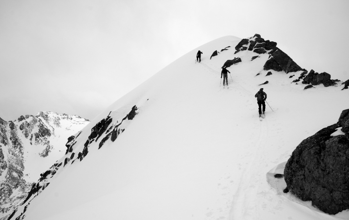
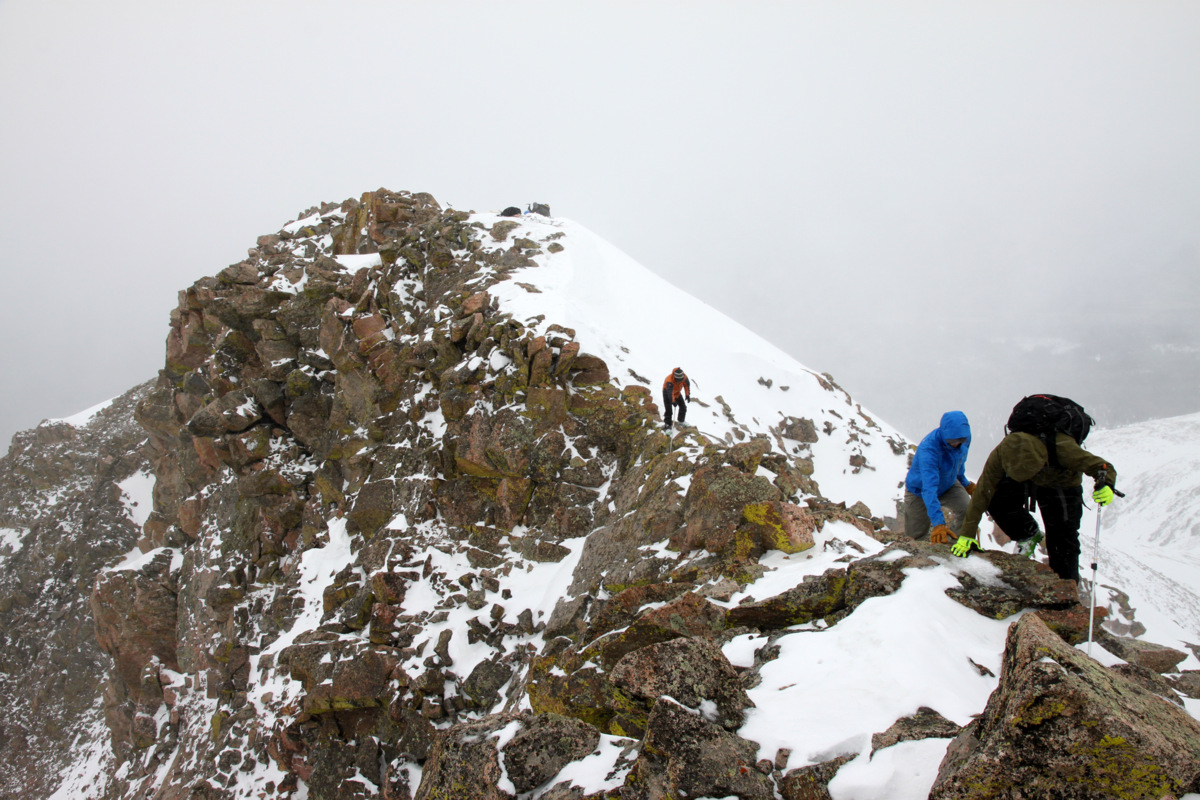
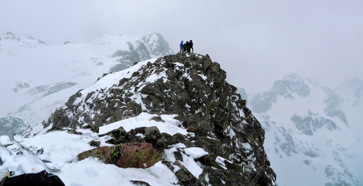
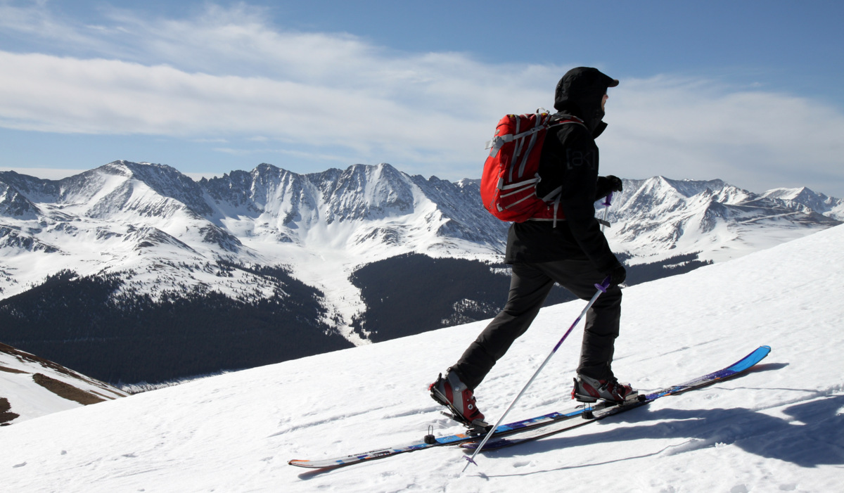
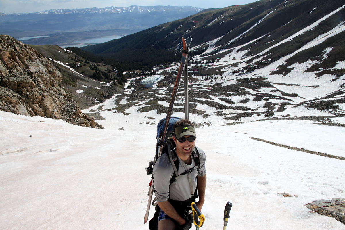
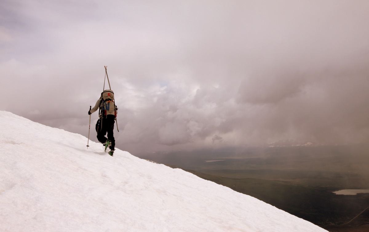
From about 13,800′ at the top of the couloir, we stayed in our crampons and hiked the remaining vertical and distance to Hope’s true summit arriving around 10am.
J on Mt. Hope’s summit ridge with some nasty looking weather behind over Twin Lakes to the north

Mt. Elbert to the north from Hope’s summit
Summit of Mt. Hope (13,933′)

Storms over the Belford Group to the south
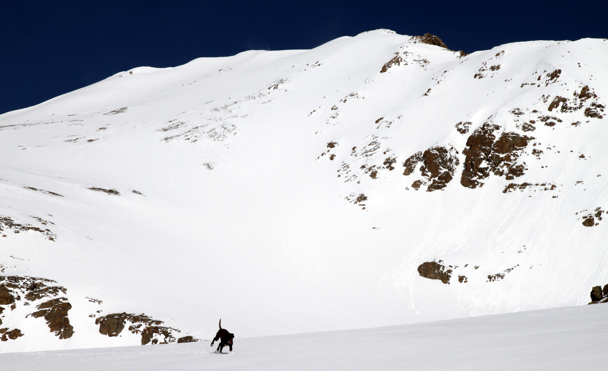
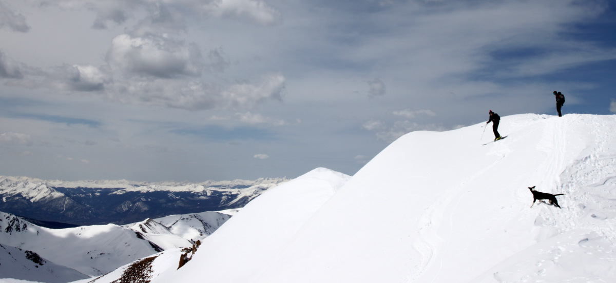
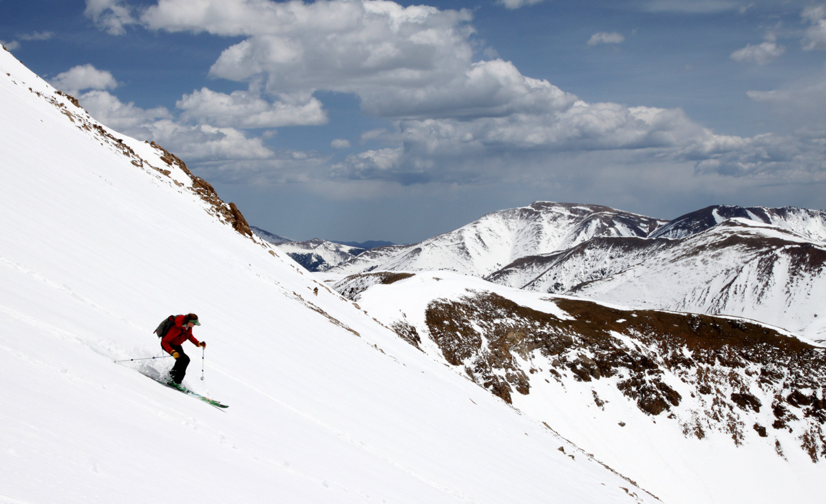
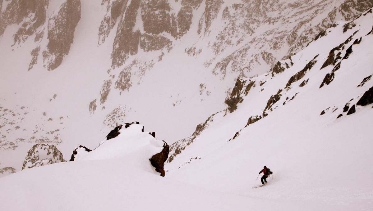
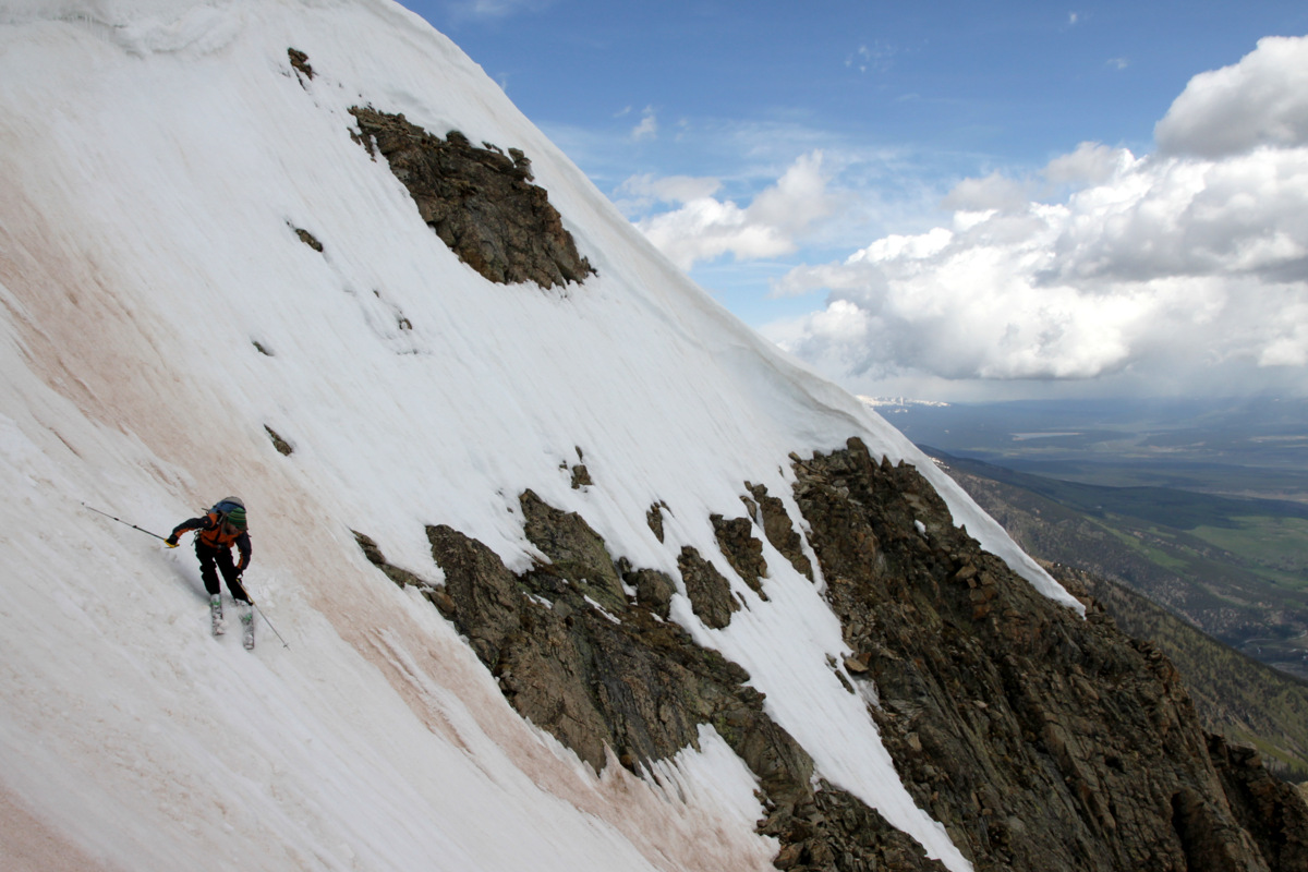
Weather was really building all around us, but Hope’s summit remained clear, sunny, and nice. We only stayed up on the summit for 15 minutes or so and man I am sure glad we did. If we had stayed up there 10 or even 5 minutes longer, we would have gotten thundered and graupeled on while skiing the couloir. We skied down the summit ridge to the steeper Hopeful Couloir descent option (skier’s left) and dropped in on 50 degree terrain only for 100 ft or so (thank goodness!).
Skiing down the summit ridge to the top of the Hopeful Couloir

J dropping in
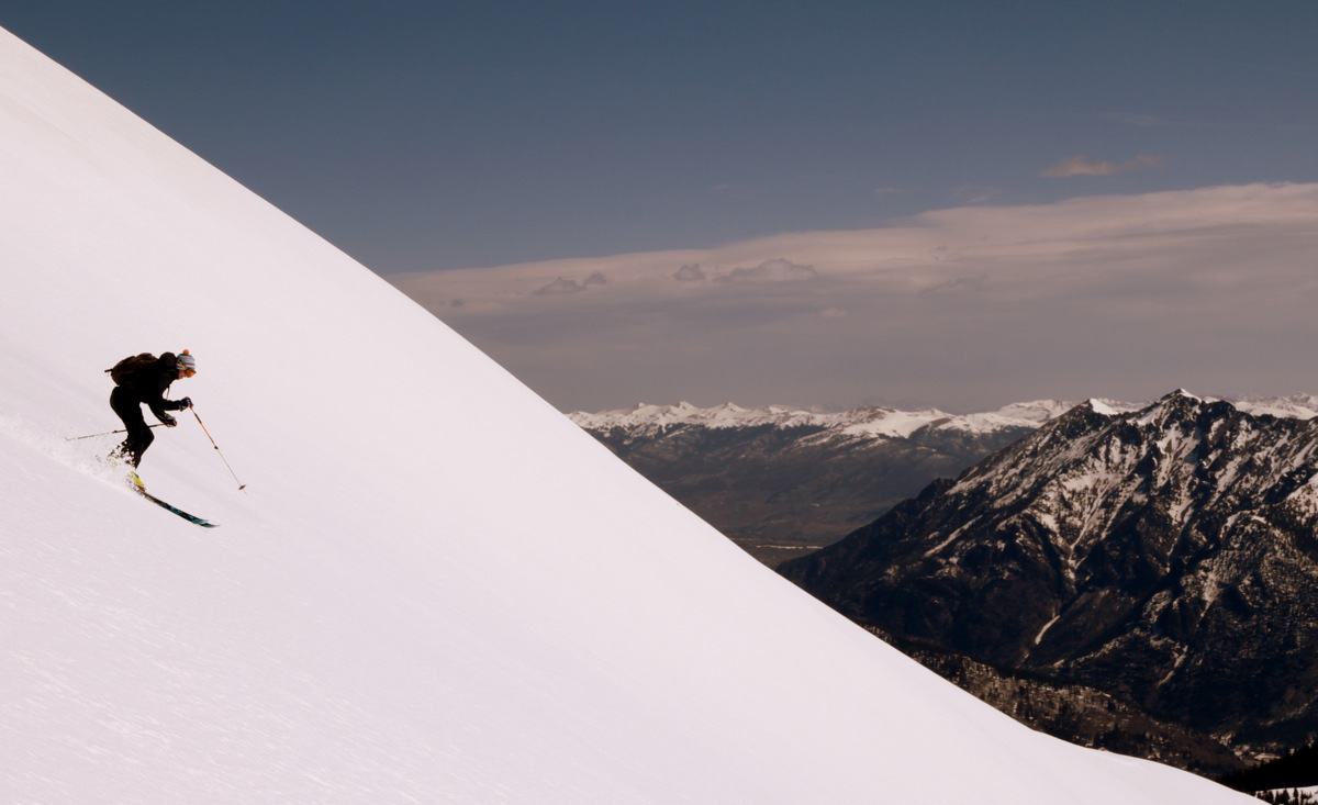
J ripping turns…
…with a gorgeous backdrop

The ski down really was fun on mostly creamy corn snow
I like this one of J
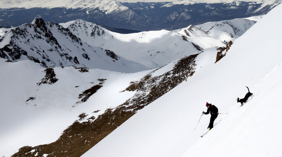
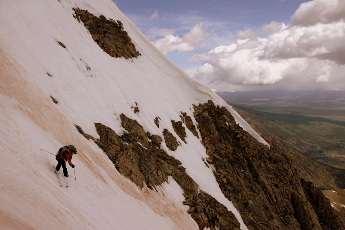
The couloir’s slope angle mellowed out to the 40s and then eventually higher 30s further down. J ripped every turn as usual while I did my best of my teles – I think I did alright. I felt pretty good about it. The snow got a little chunkier towards the bottom from the avalanche debris but overall we timed this ski descent pretty spot on as the snow was nice and soft the entire way down.

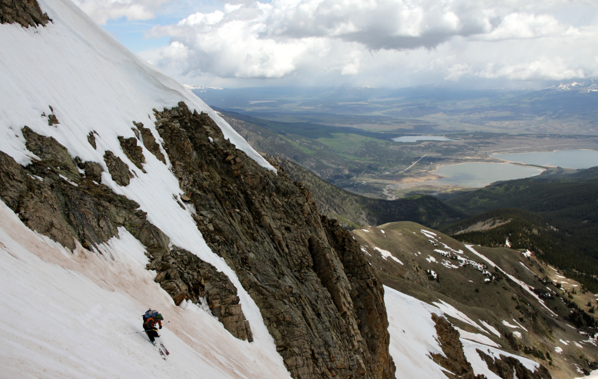
J skiing Hopeful with Twin Lakes beyond
So scenic

Looking down on J skiing
A nice perch, buddy
J lower down in the couloir
And out…
Thanks to J’s GoPro footage on his descent of the Hopeful, I put together a fun little video to the tune of my favorite song called Promentory from the soundtrack to Last of the Mohicans (be sure to turn the 1080p HD on):
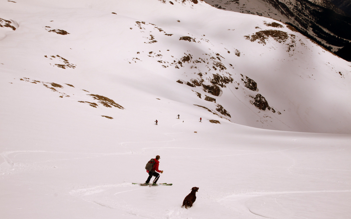
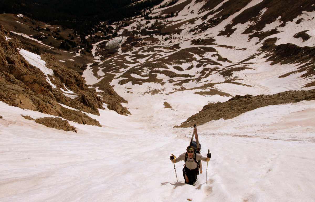
Just as we skied down below Hope Lake and beyond to treeline, the god of thunder let us know just how insignificant we all are and graupel fell from the heavens at an alarming rate. It actually felt pretty good as long as it didn’t hail and we felt safer now that we were not so high on the mountain and at treeline. Again, the skis and boots went on our packs and we cruised on out of there down Little Willis Gulch in our trail runners.
Mt. Hope and the Hopeful Couloir on the way out
We got a little wet on the hike out, but arrived safe and sound back at my truck around 1:45pm for a wonderful 7 hour day up on Hope.

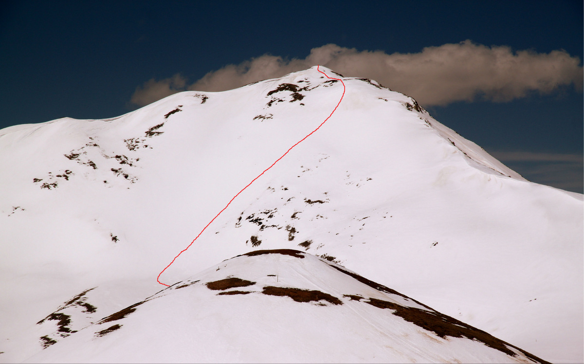
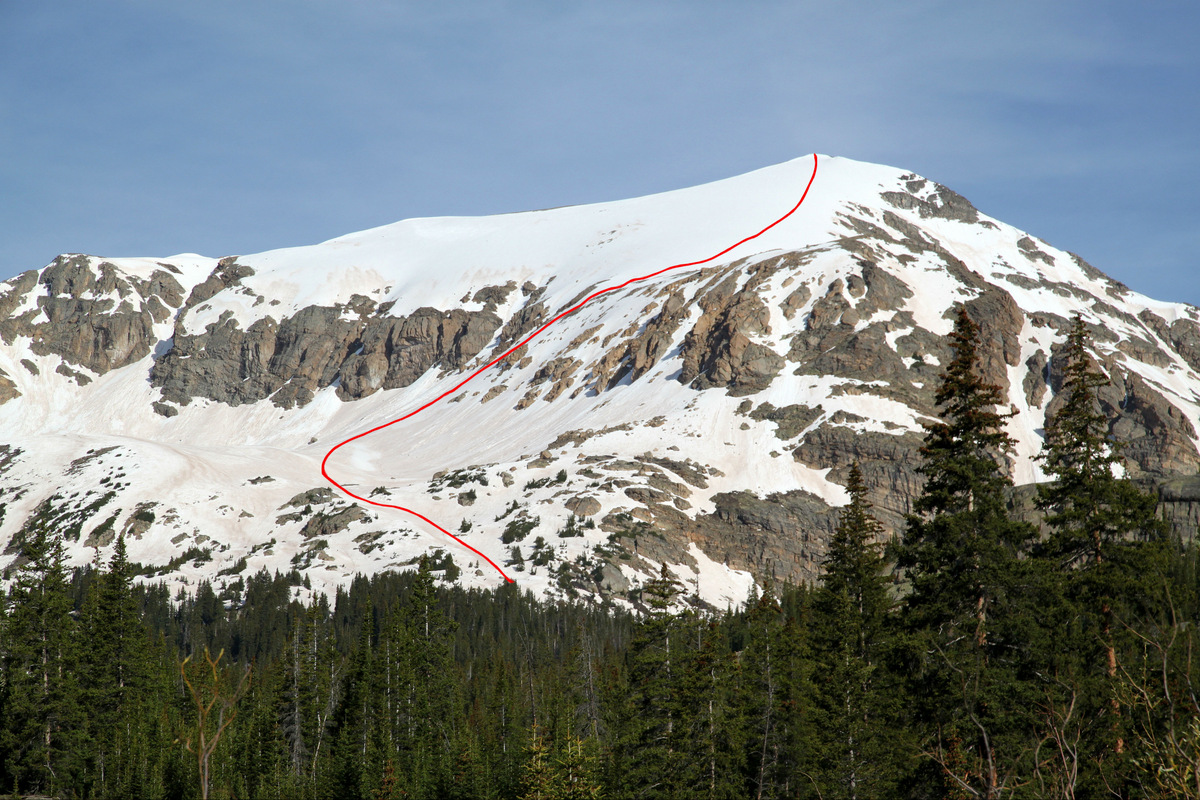
The Hopeful Couloir shown here in red from Twin Lakes. Mt. Hope’s summit is clouded over
This spring ski-mountaineering thing sure does allow for some awesome days in the hills. I will be sad when the snow recedes to the point of it not being worthwhile at all to bring ski gear anymore. But, that just means the transition to full-on summer with scrambling in our Gores, rock climbing, and trail running. Not bad at all. However, I just have a hunch that the 2014 spring ski-mountaineering season isn’t quite over. But, that’s just me.
 Follow