Asgard Ridge
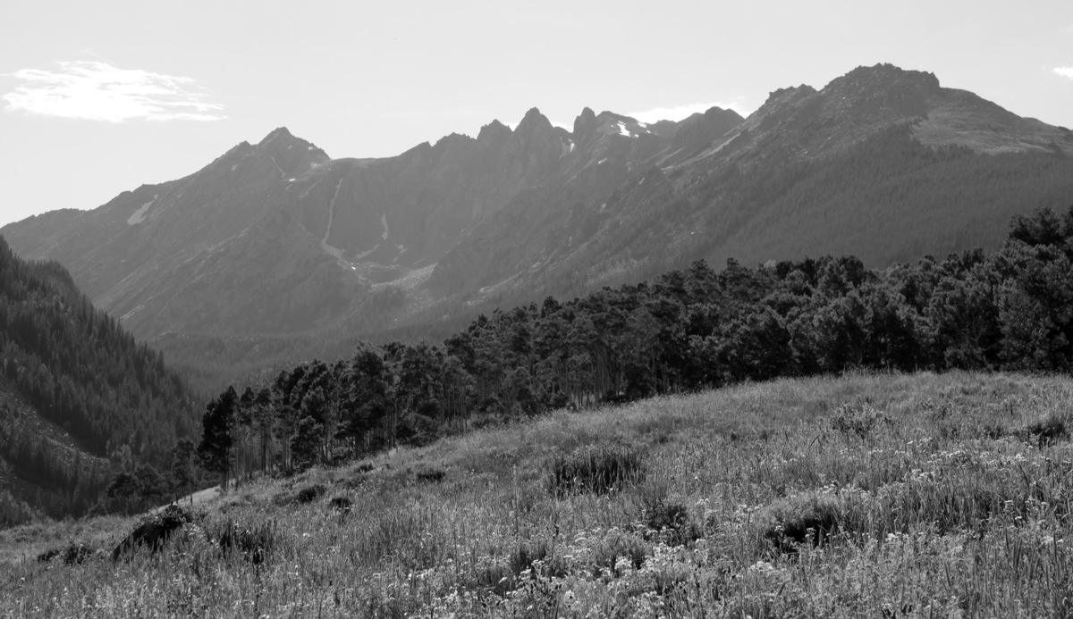
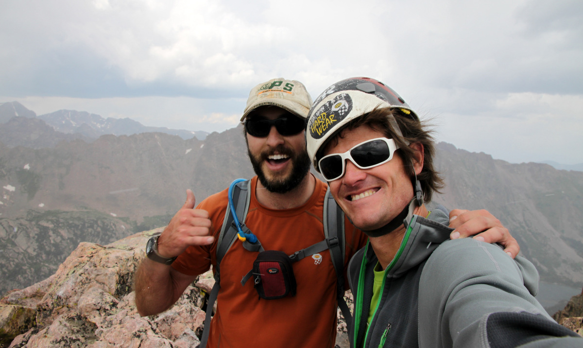
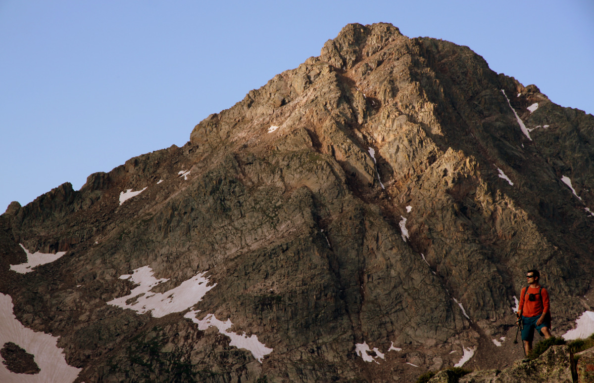
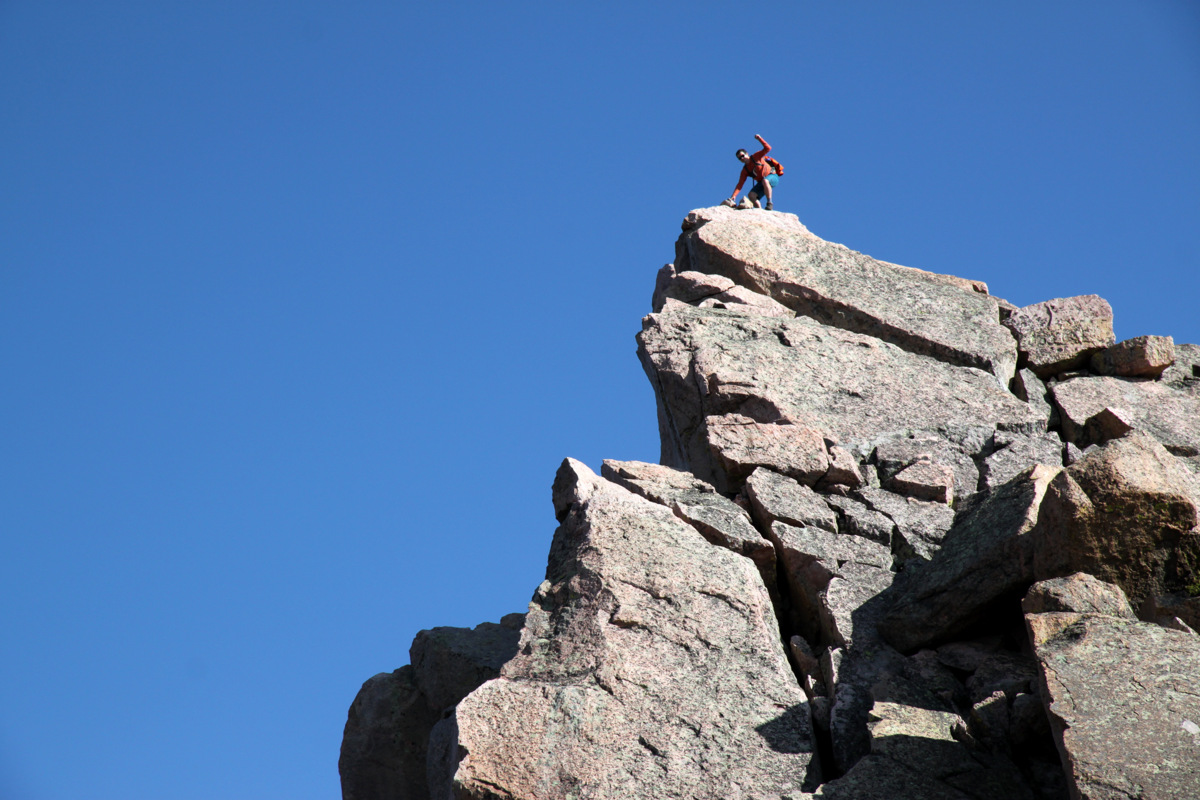
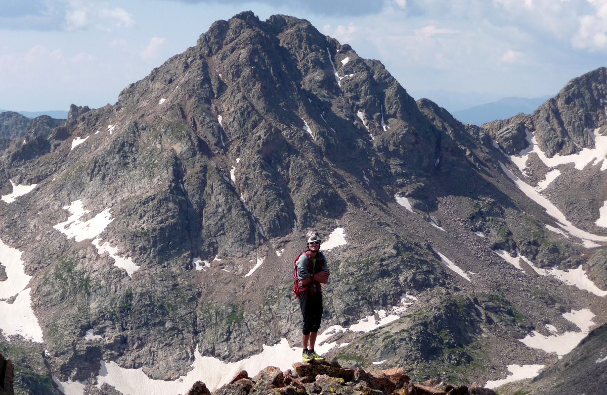
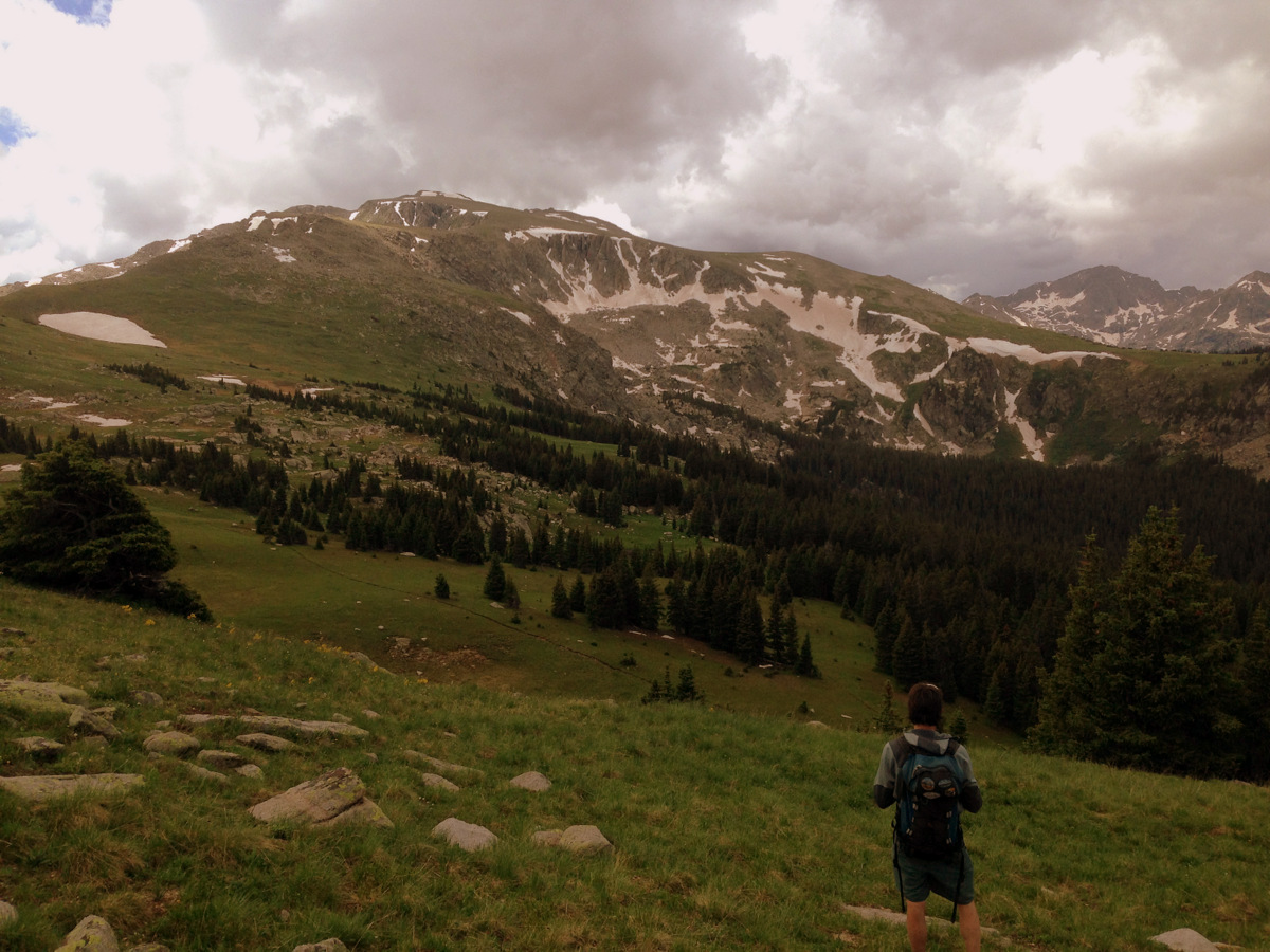
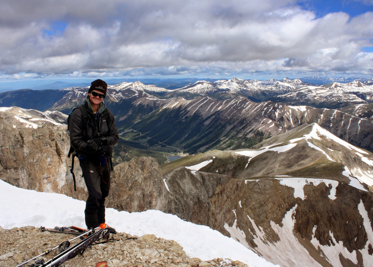
I’m a big fan of Norse mythology and an even bigger fan of the Gores, so when I found out a few years ago there was a ridge dubbed Asgard Ridge that led to the summit of one of the Gore’s prominent 13ers, Mt. Valhalla, I was hooked. What got me actually addicted to this ridge was the view from the summit of its western terminus, Palomino Point (13,060′), in late October 2013 when Kristine, myself, and a wonderful 14ers.com crew climbed Palomino Point & Mt. Valhalla from East Vail and Deluge Lake.
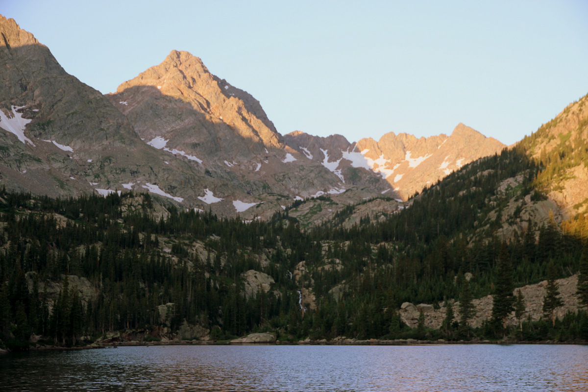
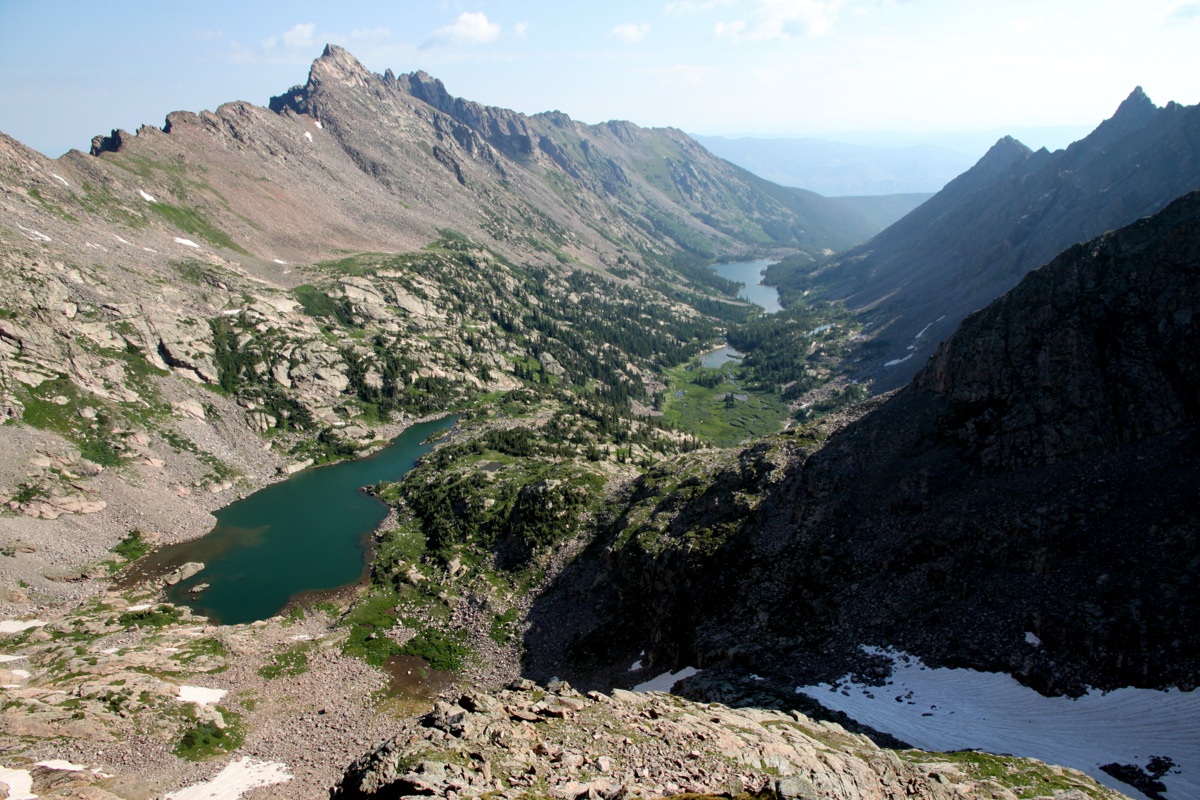
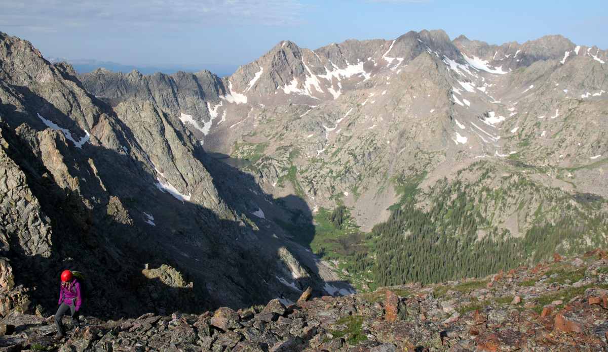
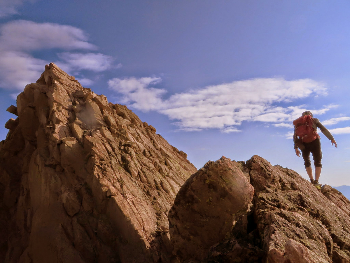
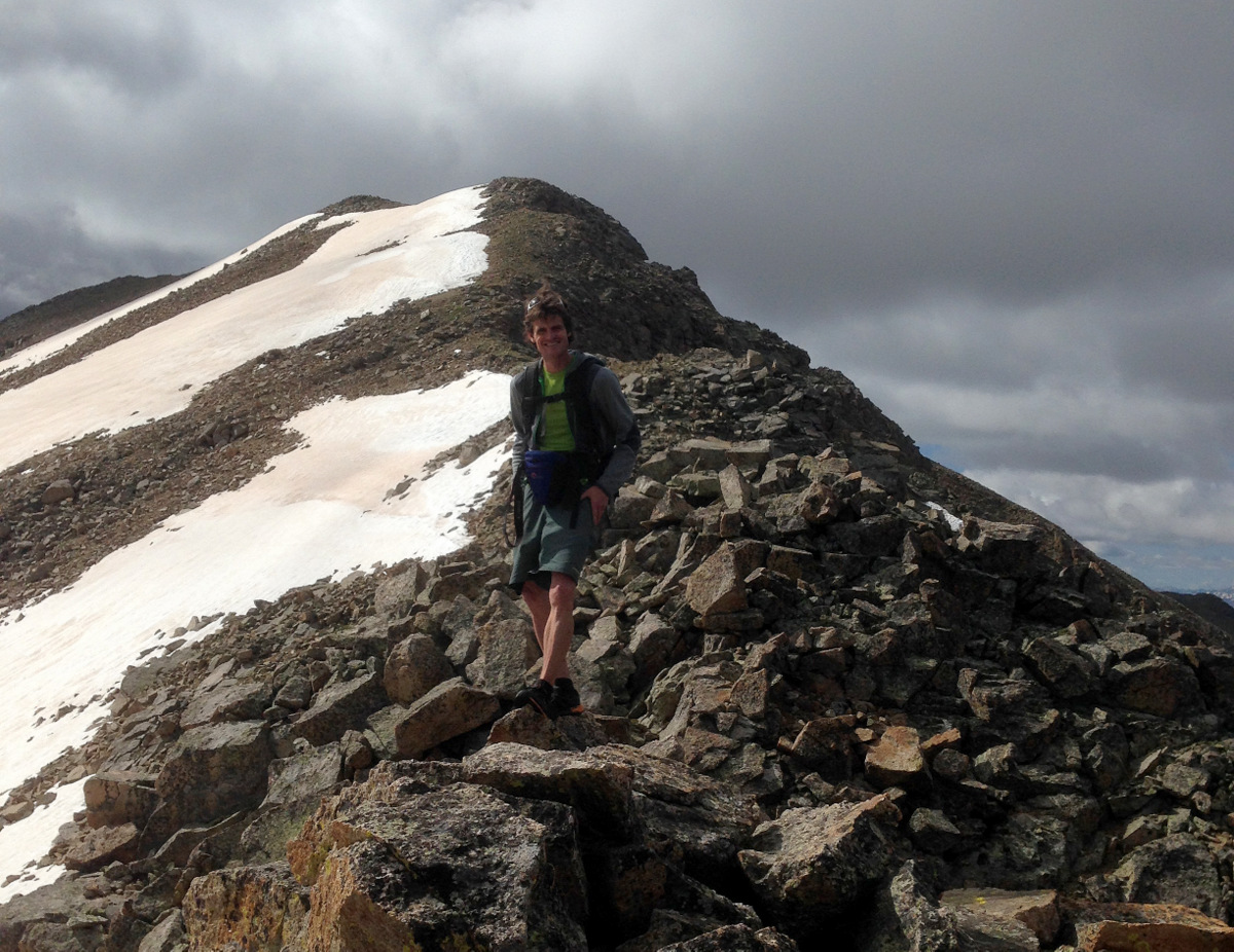
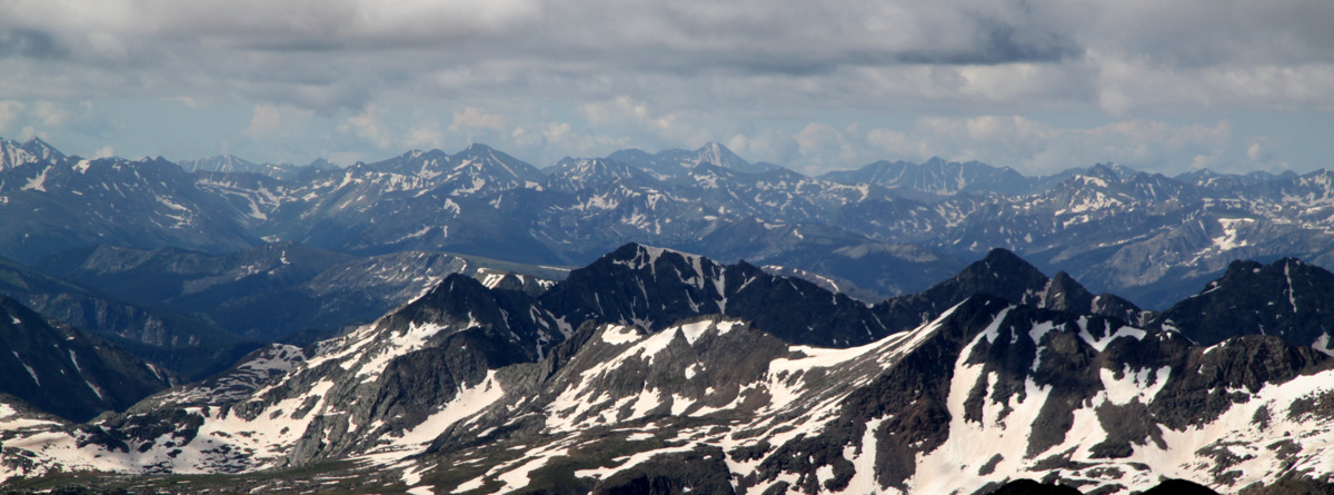
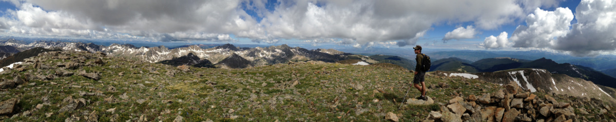
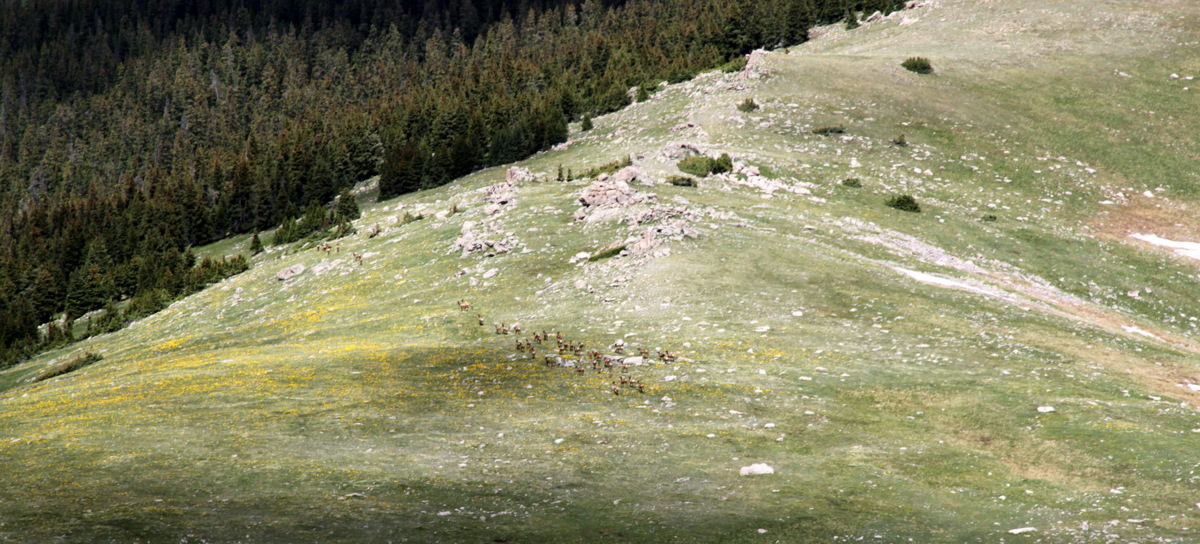
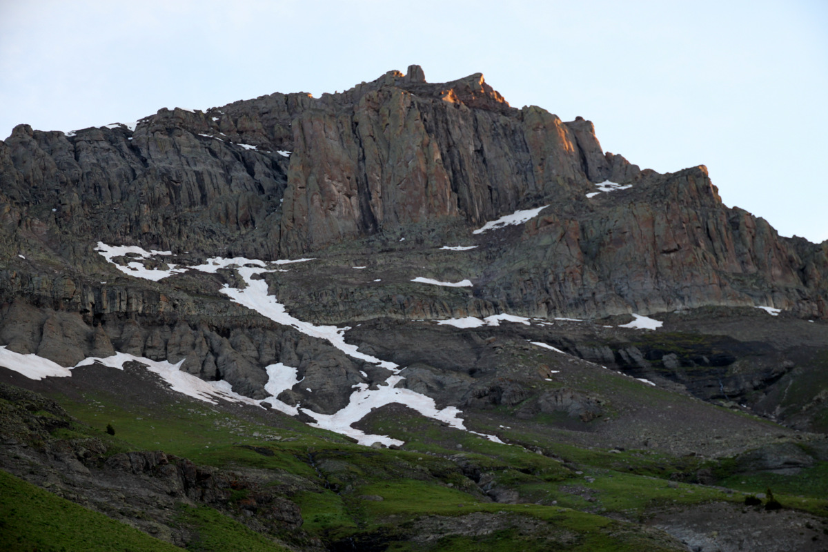
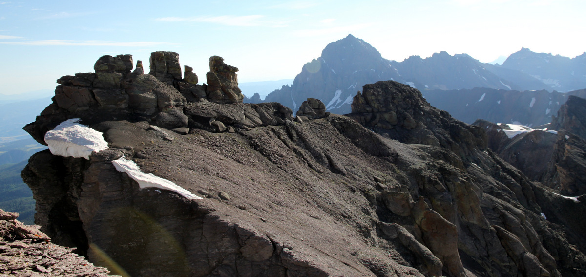
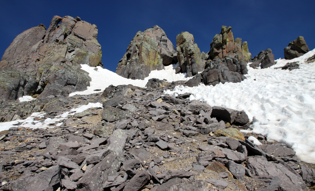
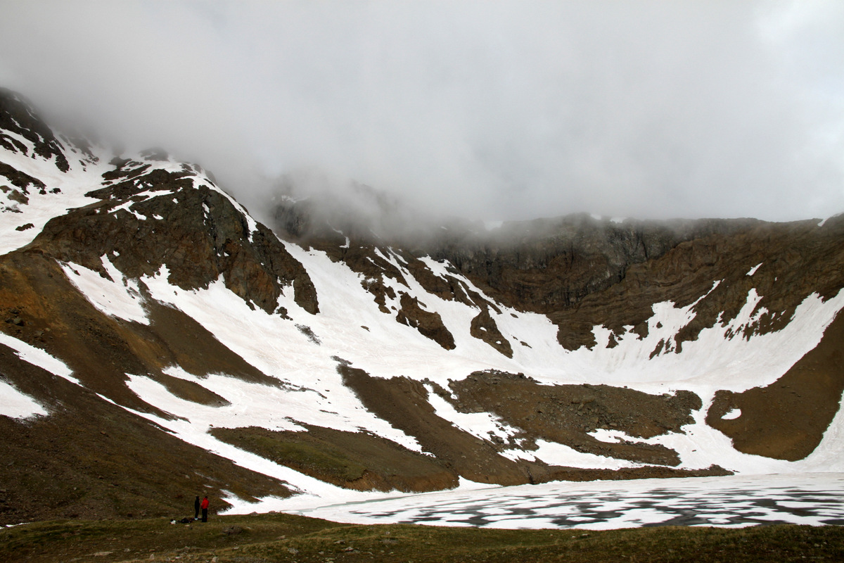
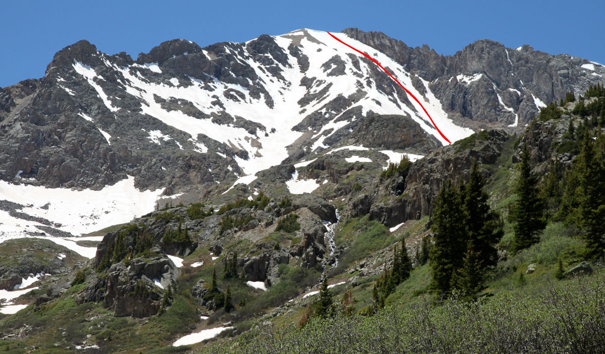
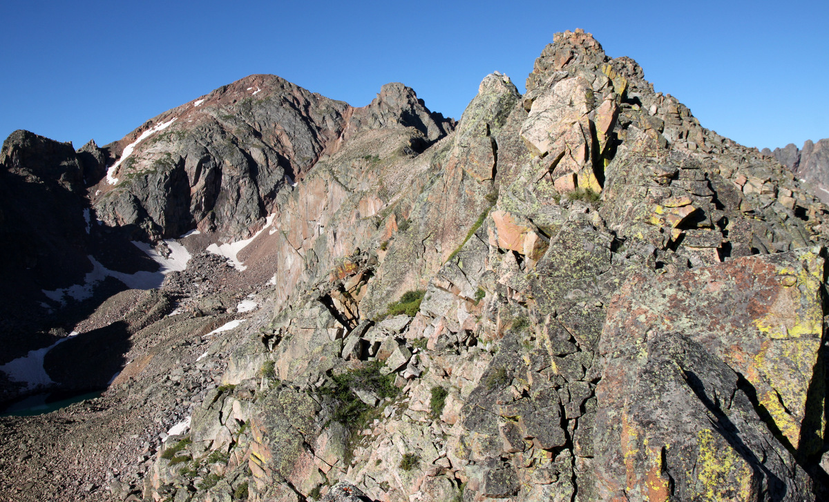
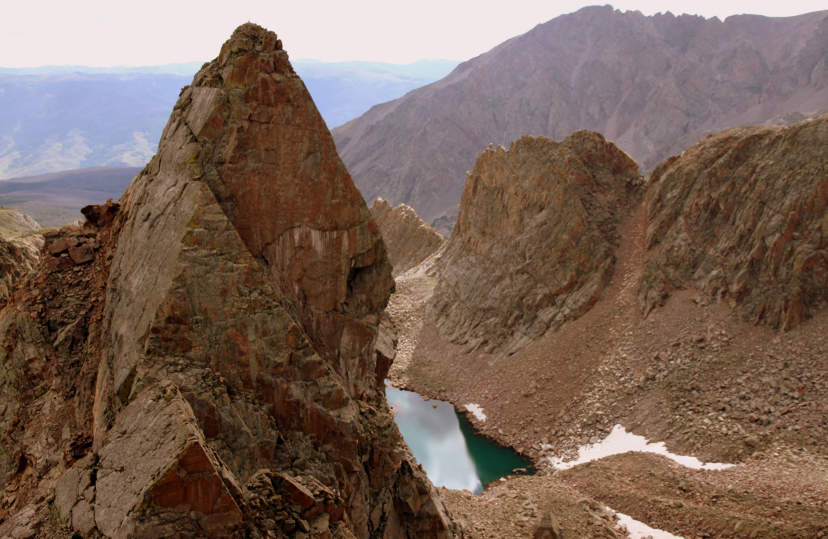
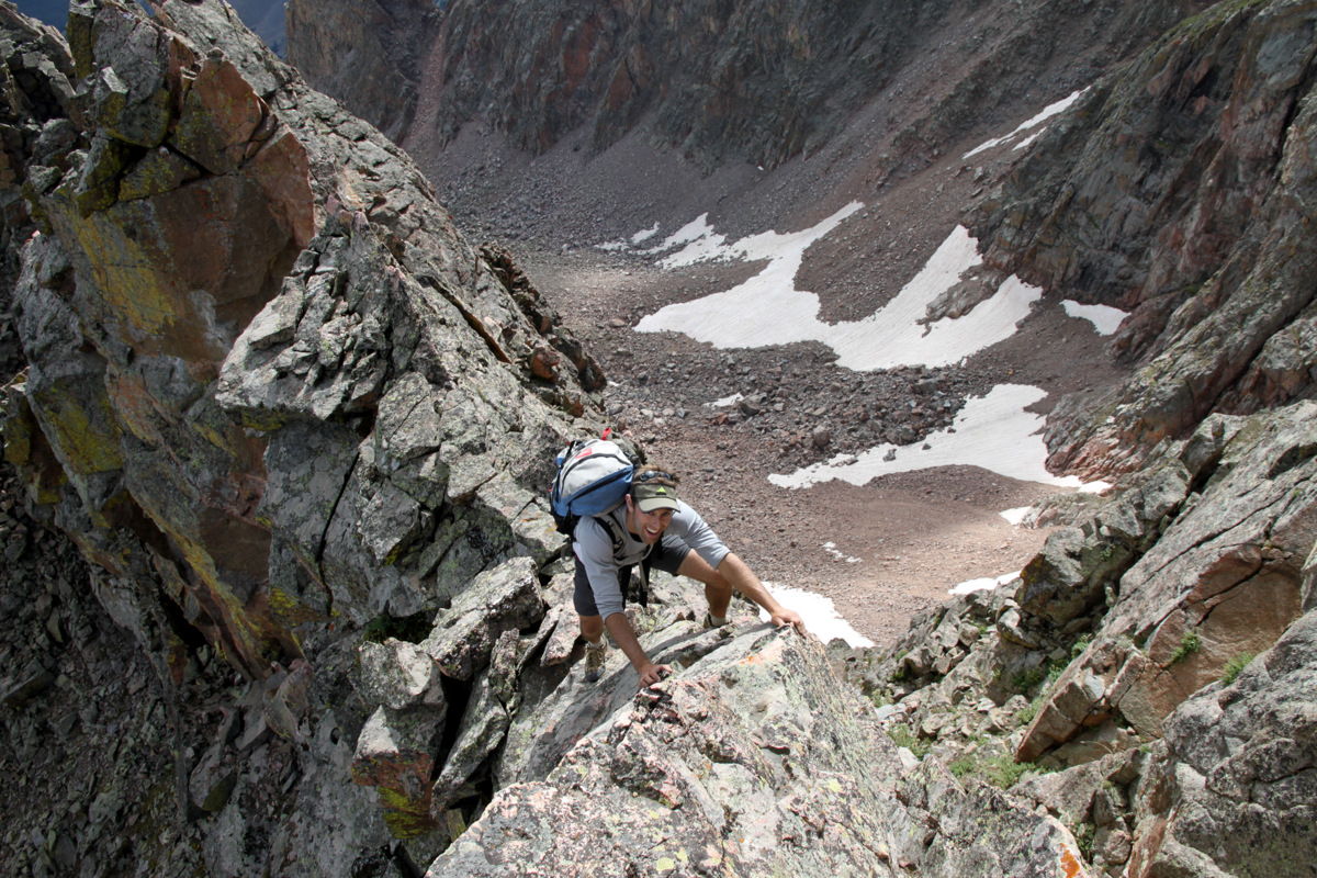
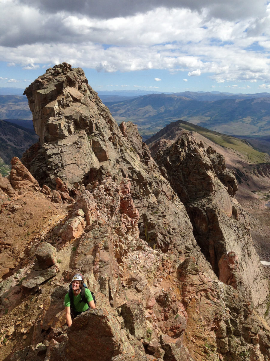
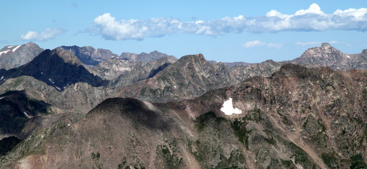
Asgard Ridge stretching out to the east down from the summit of Palomino Point (13,060′) as seen on October 26, 2013
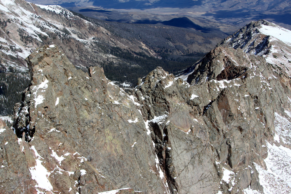
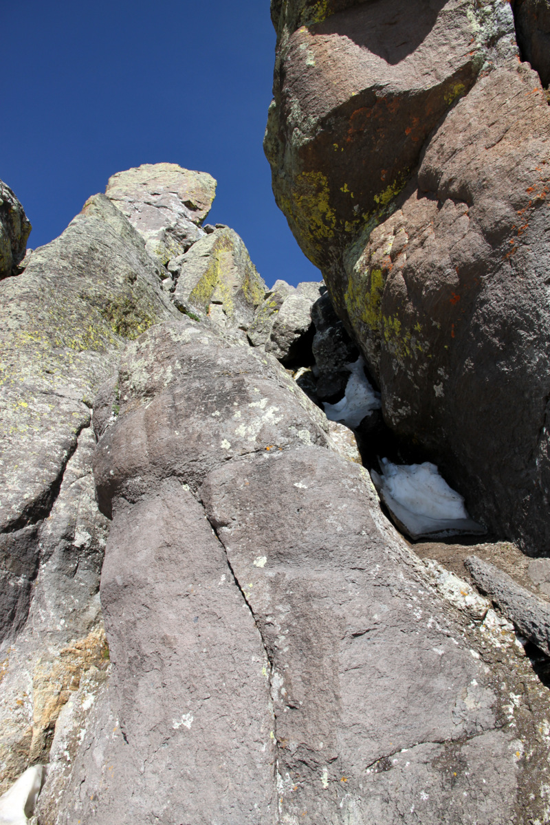
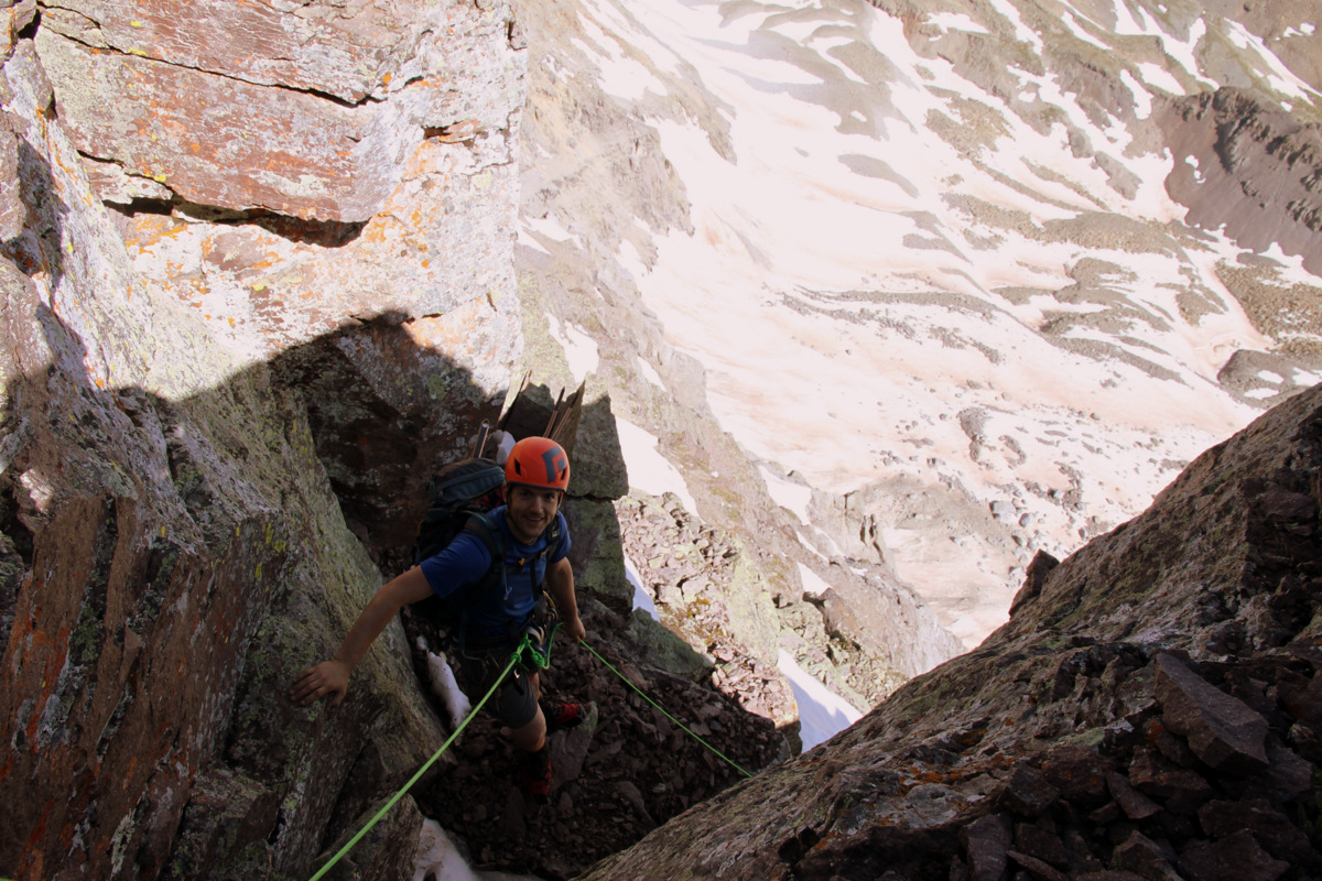
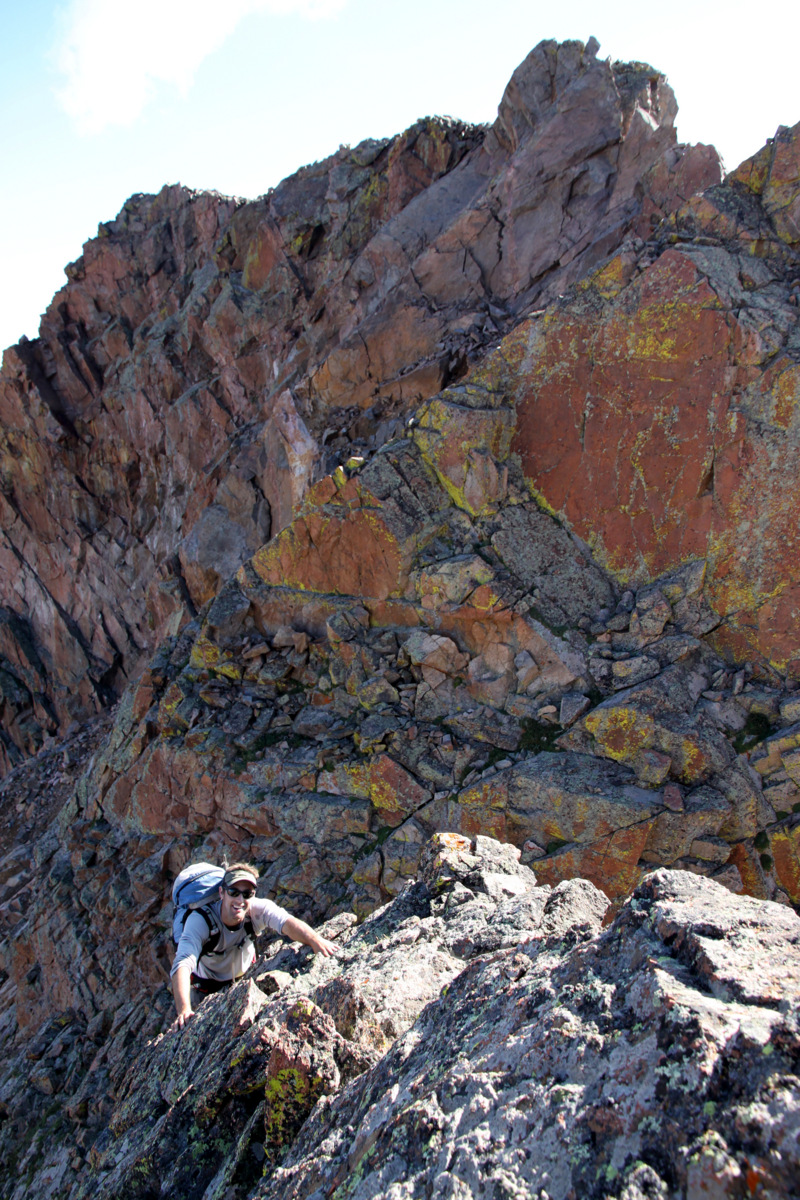
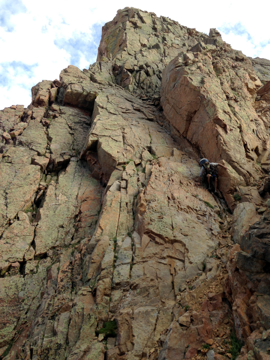
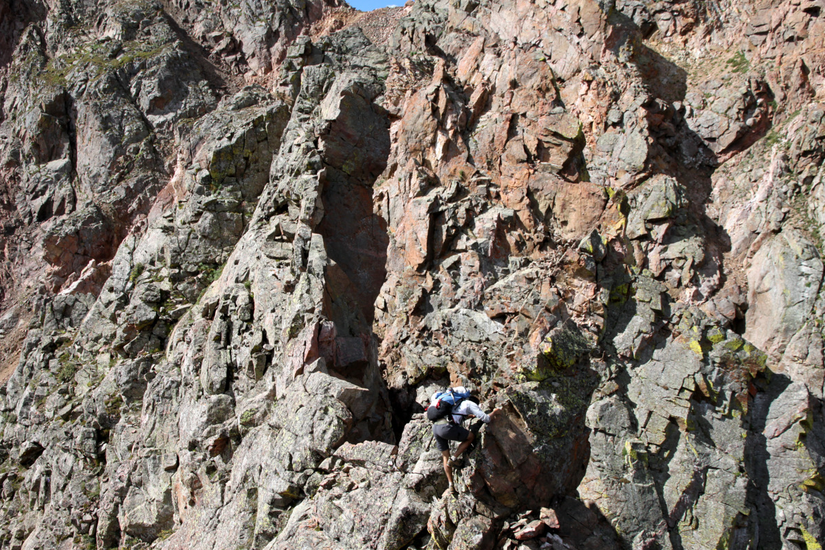
Point Odin (far left), the last tower and major difficulty before the final ascent up Palomino Point’s east face. This picture was taken from Valhalla’s north ridge en route to its summit on October 26, 2013
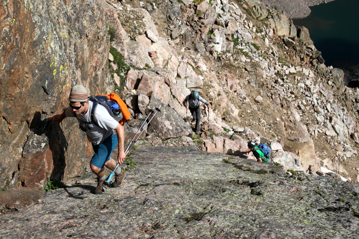
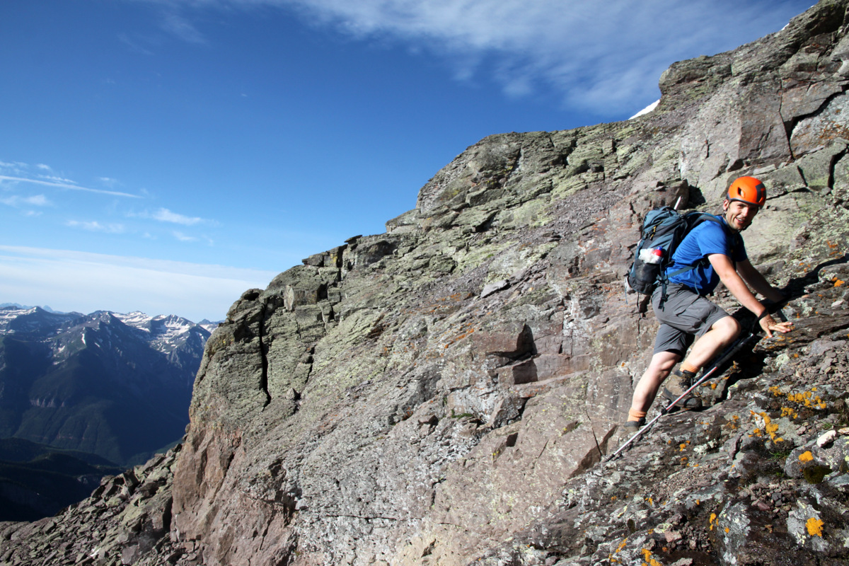
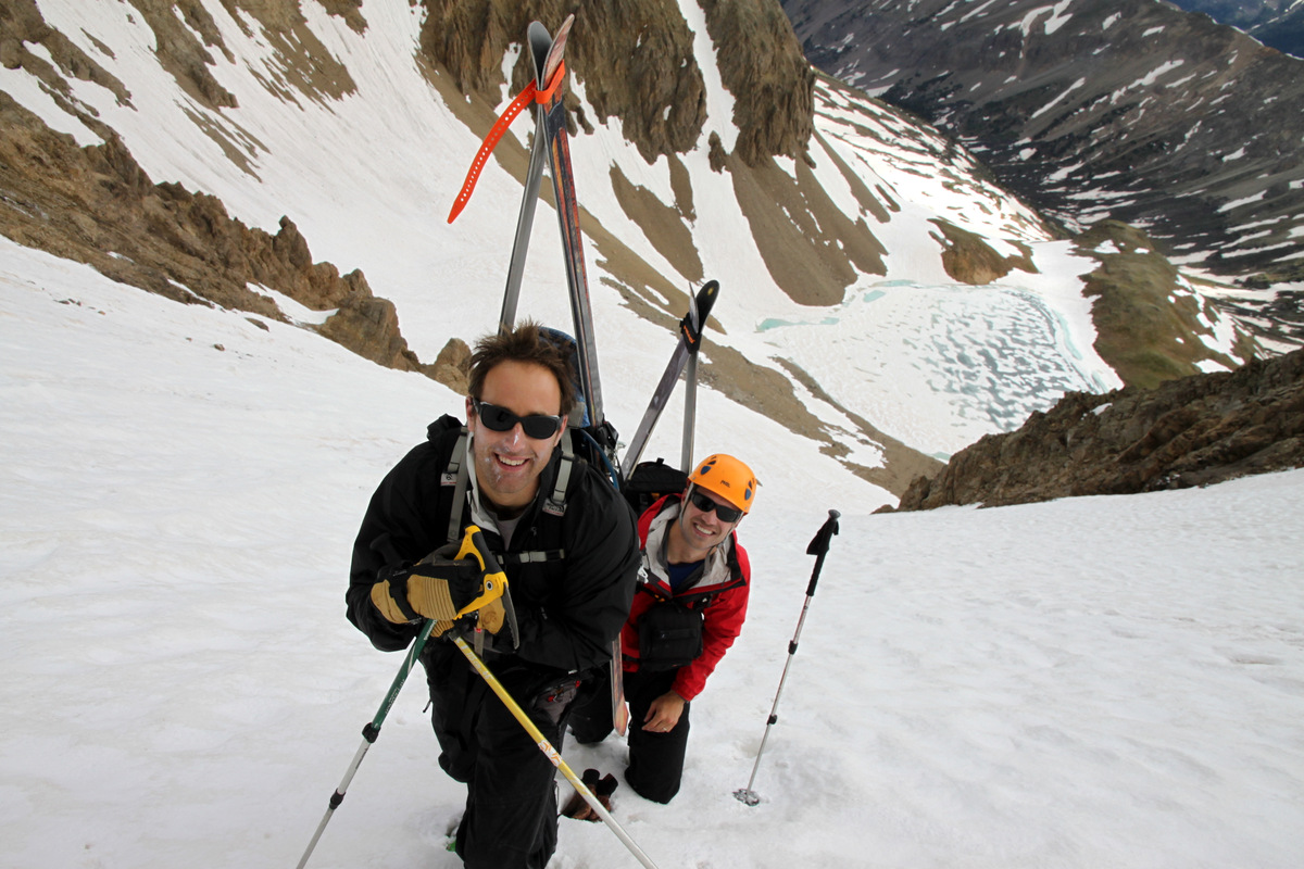
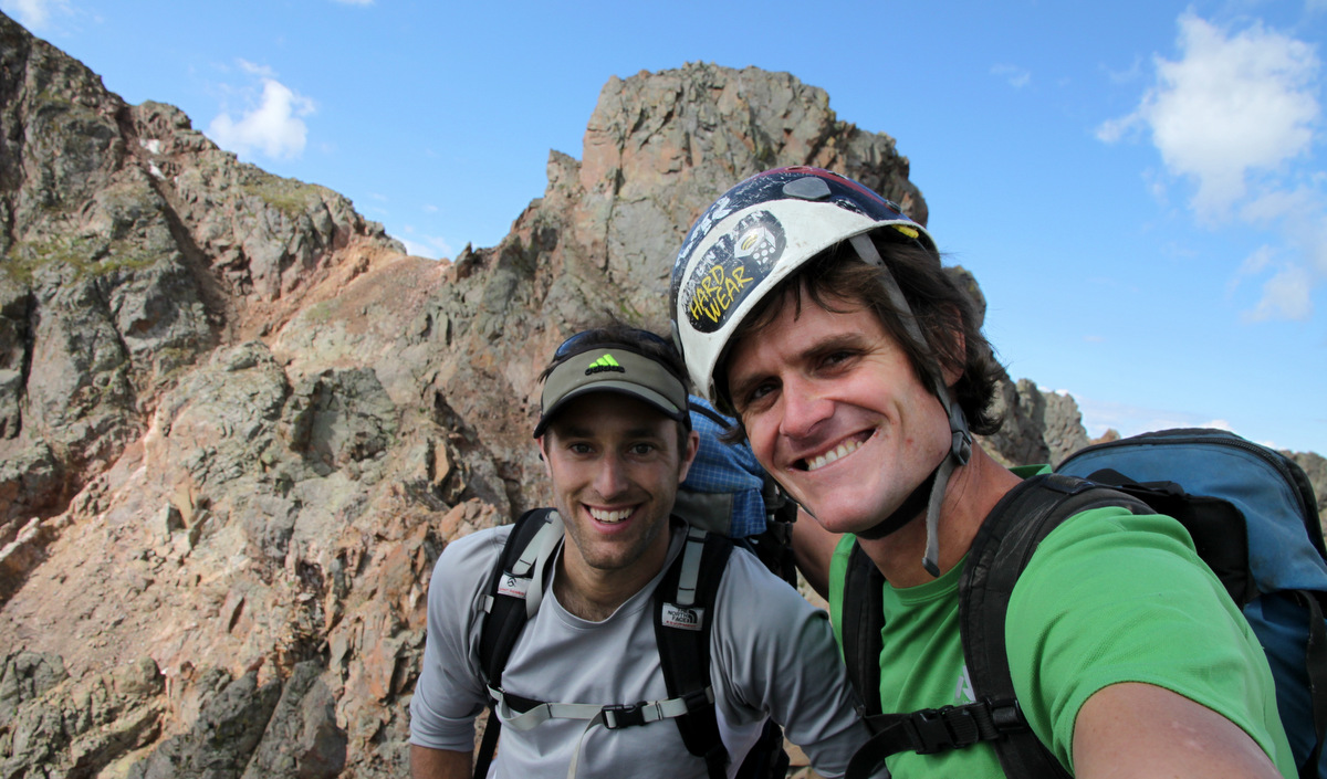
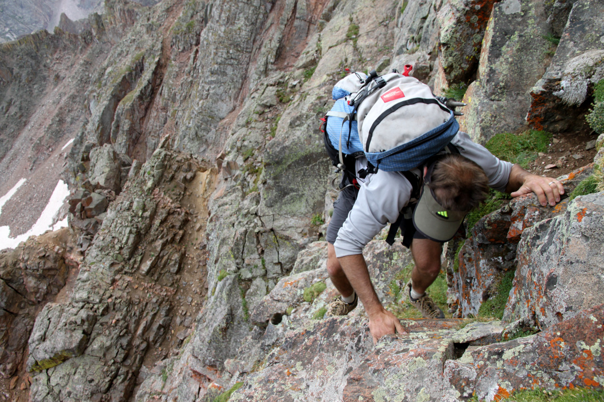
J had not actually climbed Valhalla and I thought this would be a great route to climb to the summit from the east and descend the class 2 normal route to Deluge Lake and out to East Vail. I also read that Stan Wagon & Joe Kramarsic had climbed Asgard Ridge to Valhalla’s summit and descended back to East Vail in July of 1997 per Stan Wagon’s website. The only beta those legendary Gore enthusiasts had written about (that I could find on Stan’s site) was that they used a rope. I am honestly not sure if there was an ascent prior to theirs or after, but perhaps at some point Joe’s encyclopedic knowledge of everything Gore can enlighten us all. Looking down on Asgard from Palomino Point & Mt. Valhalla the year before, it became evident that there were probably a few mandatory rappels. Maybe even a roped pitch or two, which would be wonderfully fun. So, J & I packed my two 30m/8mm alpine ropes, our harnesses & helmets, a light rack including 6-7 cams, a full set of nuts, and of course plenty of slings, biners, & webbing. We didn’t bother with our actual climbing shoes as we both feel pretty good up to 5.7/8 with our La Sportiva Boulder X approach shoes. I think the biggest attribute of gear we had when we traversed the Zodiac Spires in the Gores the year before was plenty of slings and webbing to set up the multiple rappels.
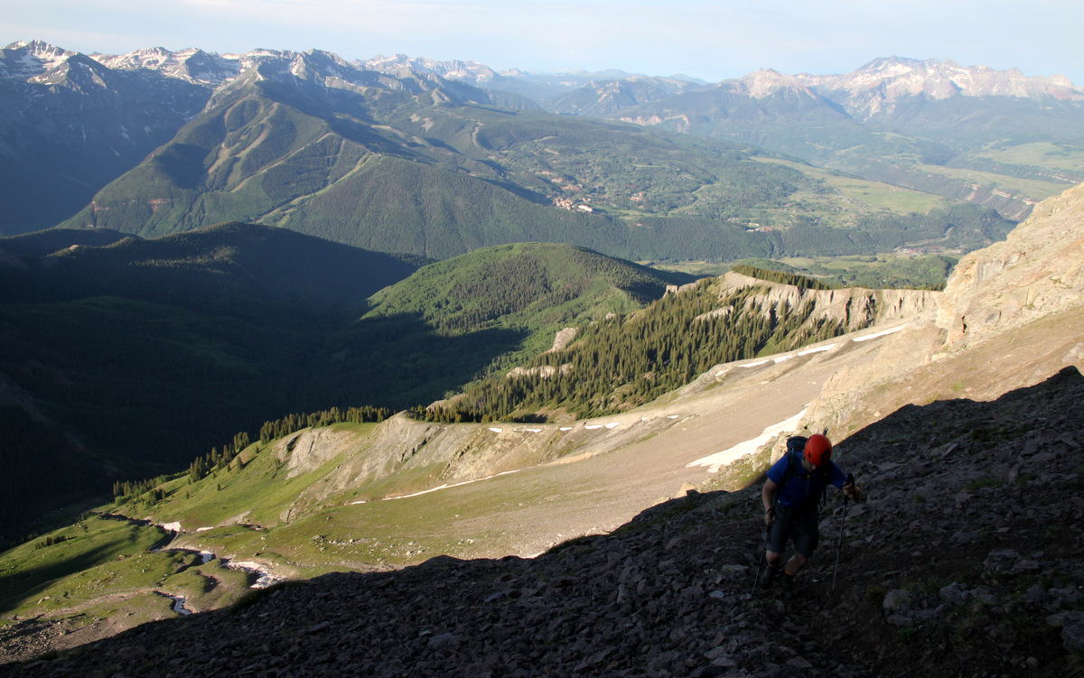
Friday night we dropped off my truck at the Deluge Lake/Gore Creek TH in East Vail and rallied over to the North Rock Creek TH north of Silverthorne arriving around 11pm. J had brought his cots and it was nice sleeping under a large moon albeit for only 4 hours. Up at 4am and after some oatmeal and coffee, we departed for the Boss Mine under clear and dark skies with semi-loaded packs. This is the standard trail, which leads to Keller Mountains’s very fun east ridge, which Kristine, friend Reid Jennings, and myself had climbed the year before as well. An hour later around 6am, we arrived at the old Boss Mine area, took a break and consulted our map. It was getting light out and we could turn off the headlamps. It looked like the cleanest route to attain the lower portion of Asgard Ridge was to cut across the marshy clearing, ford North Rock Creek, and make our way to a prominent boulder field from which it appeared we could climb steep slopes and hit the treed ridge crest. So, we dropped maybe 200′ down to the basin from the trail and literally about 100 yards away from North Rock Creek, J yelled at me “Stop! Back-up!”. A big bull moose was grazing and had J not said something I would have likely walked right into him. I was just minding my own business and watching my steps and not looking up. It definitely woke me up.

My morning coffee 🙂
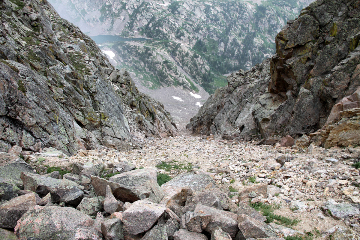
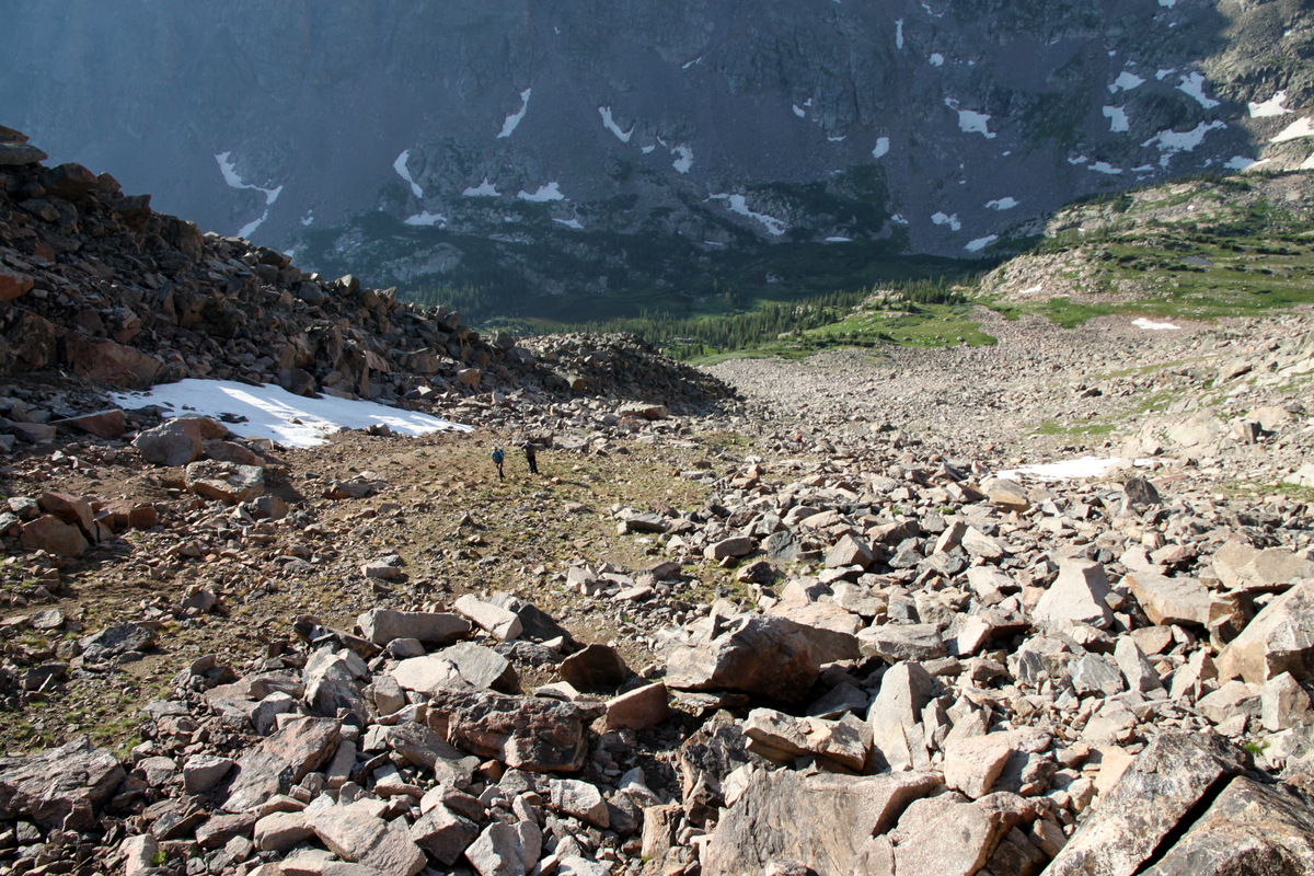
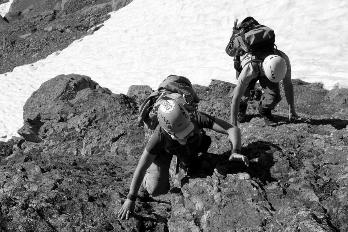
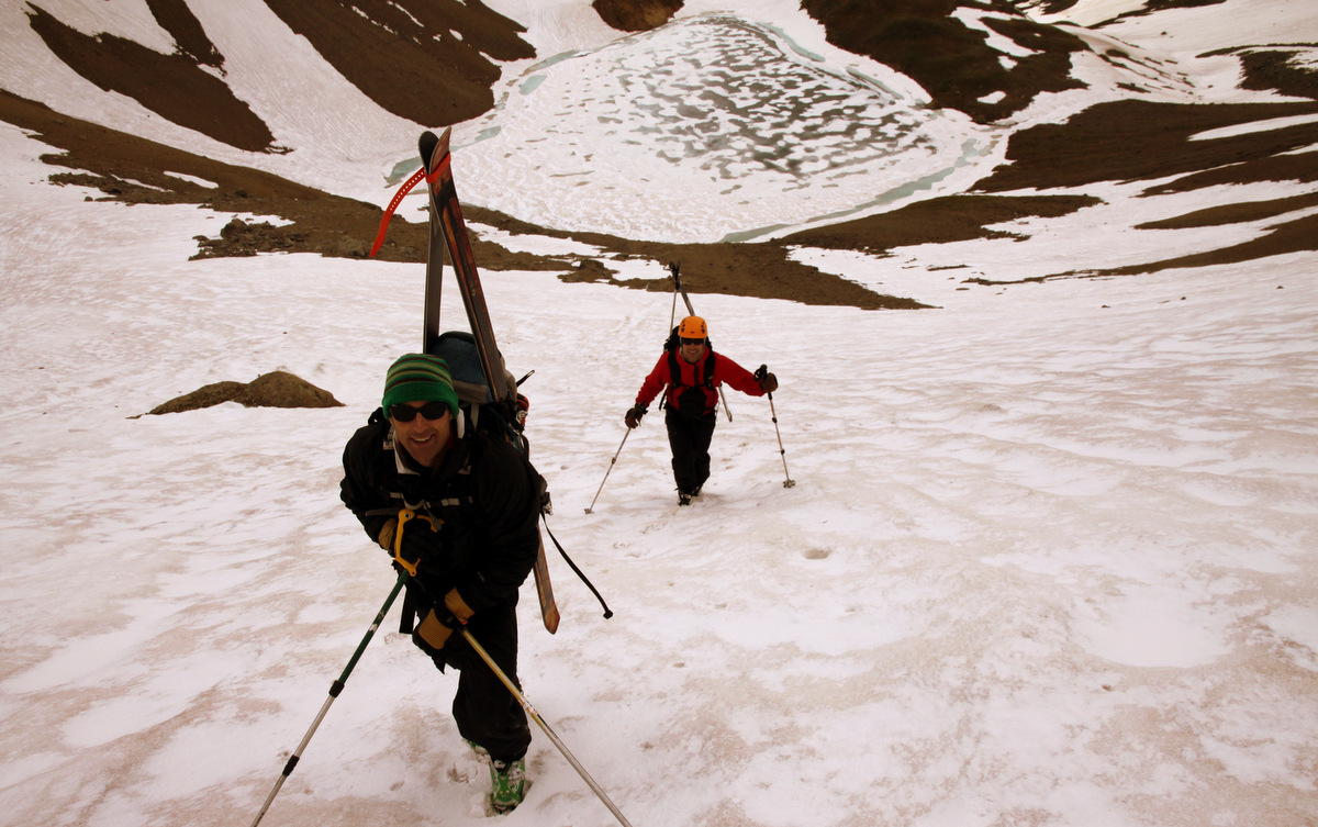
We were able to make our way around him and ford the creek a bit to the west by taking our shoes and socks off and braving the cold water. The routefinding really went about as smooth as we could have imagined and soon we were on the boulder field and scrambling up the lower flanks of Asgard Ridge to the ridge crest. This was where we gained a lot of our elevation – about 2,000′ from North Rock Creek to the first point along Asgard Ridge, Point 12,207′. However, the terrain was easy bushwhacking and nice hiking through forests after some initial class 3 scrambling to get up on the ridge crest.
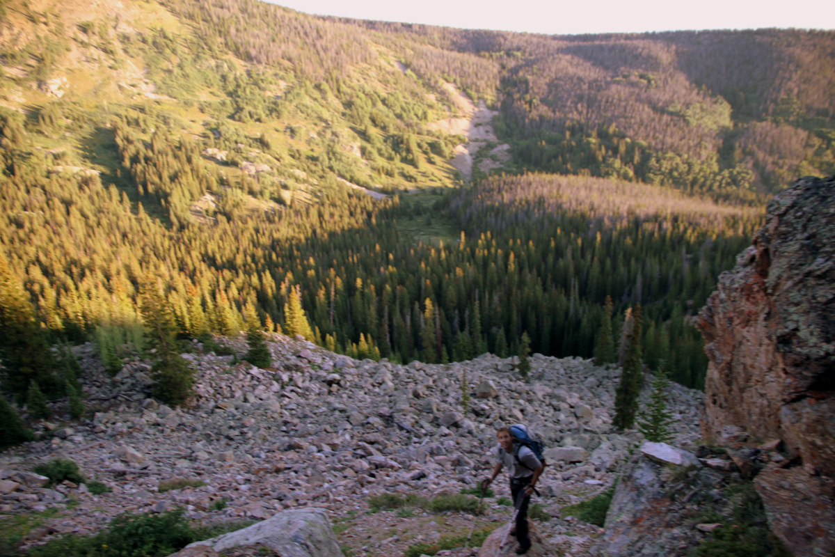
J above the boulder field we spotted across the valley from the Boss Mine (mine tailings can be seen across the basin behind J)
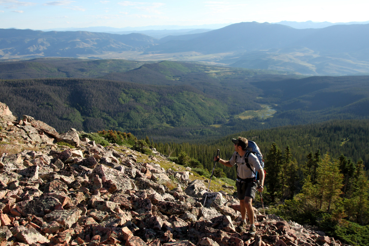
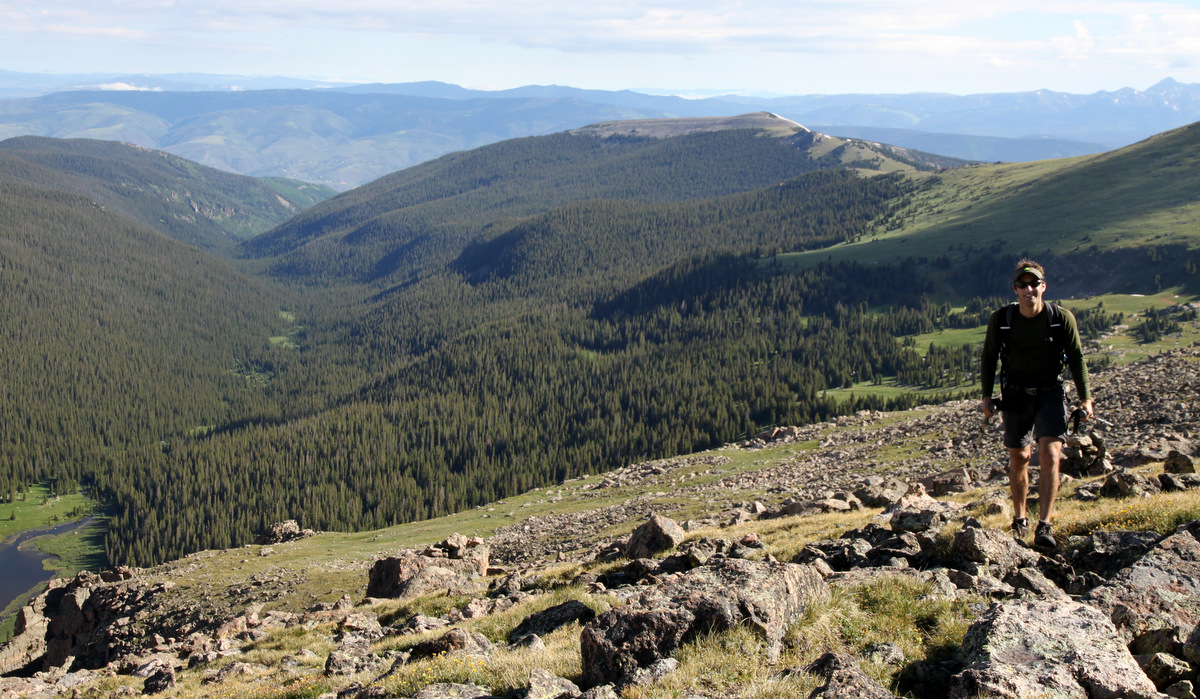
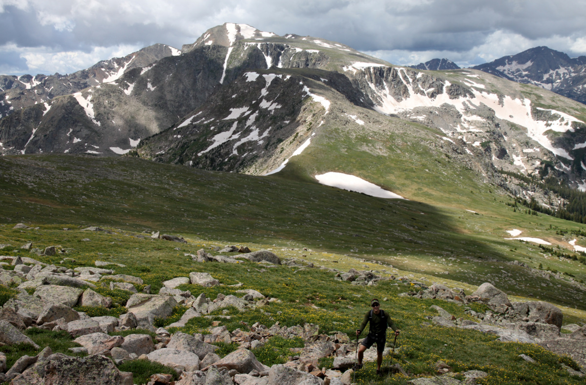
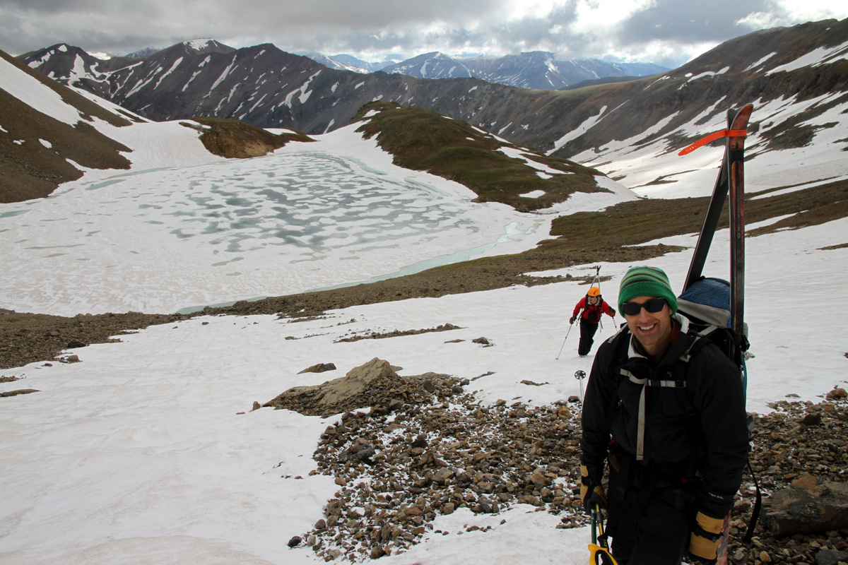
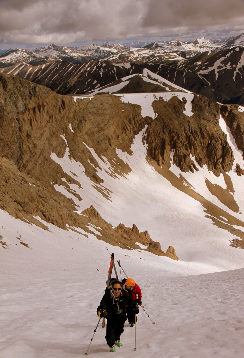
J above treeline on gaining Asgard Ridge
We could both definitely feel the heavier than normal weight of our daypacks – a necessary evil most definitely, especially on a ridge we knew very little about. We soon made it up easy terrain to Point 12,207′ with Asgard Ridge laid out before us. It was a wonderful sight. Asgard Meadows was down to our left and Valhalla’s other, southern east ridge reared up in earnest displaying its awesome Freya, Thor, & Loki Towers. Another day, I’d love to camp in Asgard Meadows and climb these awesome looking towers.

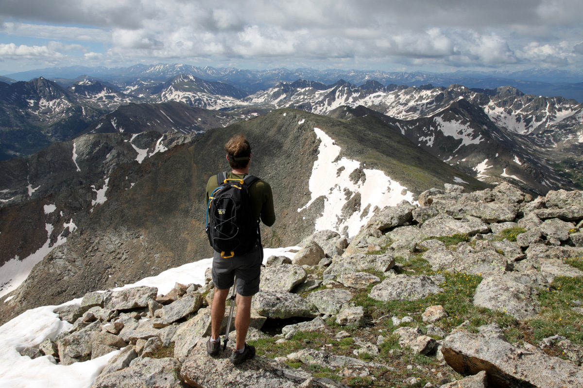
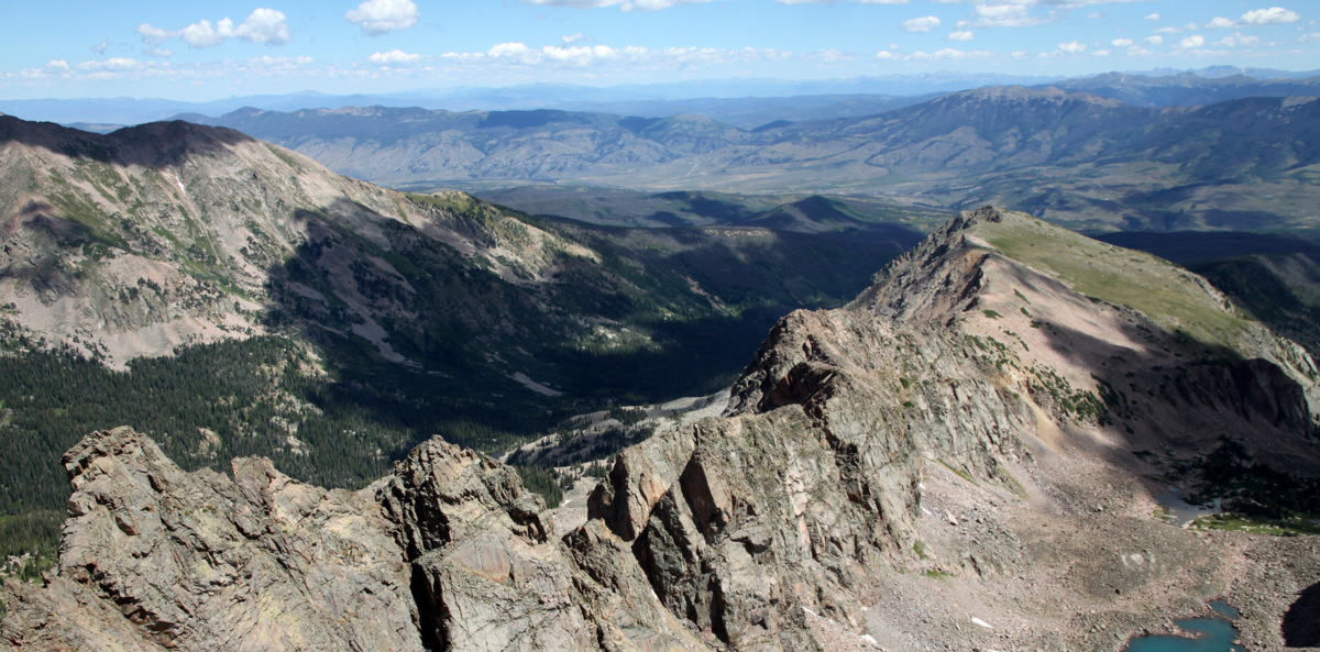
Asgard Ridge up to Palomino Point with Mt. Valhalla on the left (as seen from Point 12,207′)

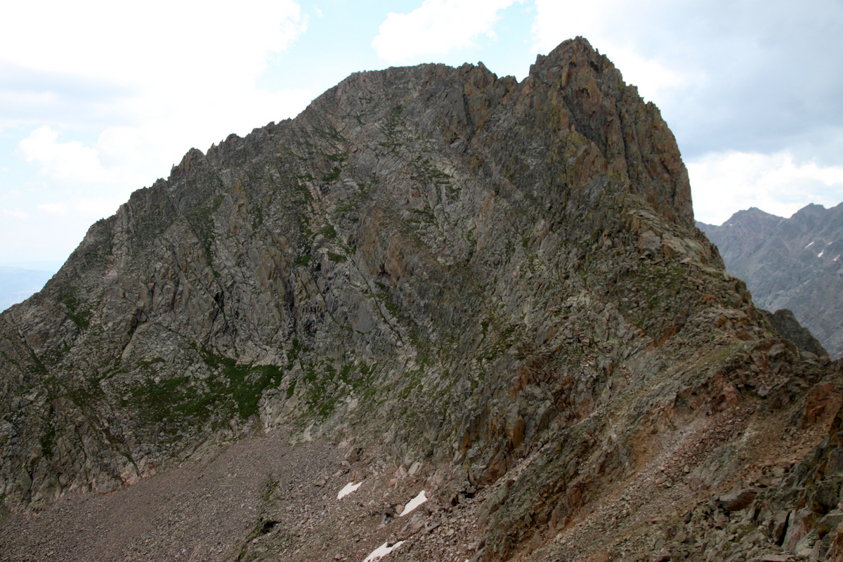
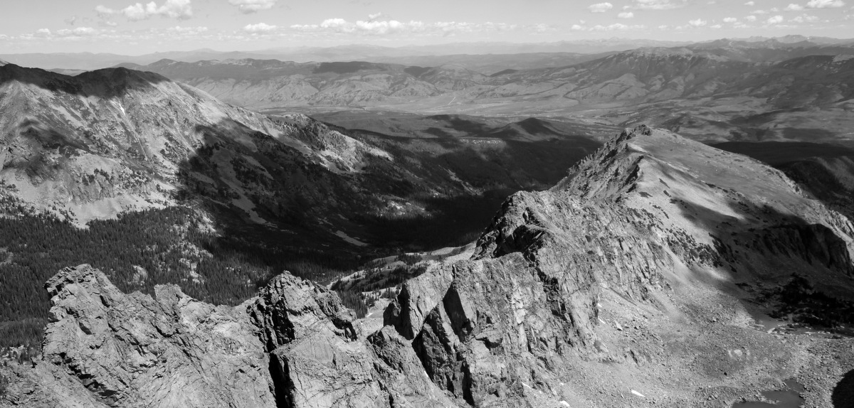
Mt. Valhalla and its two east ridges with Asgard Meadows in between
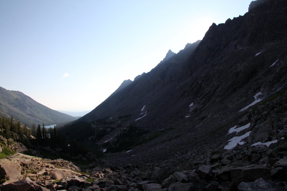
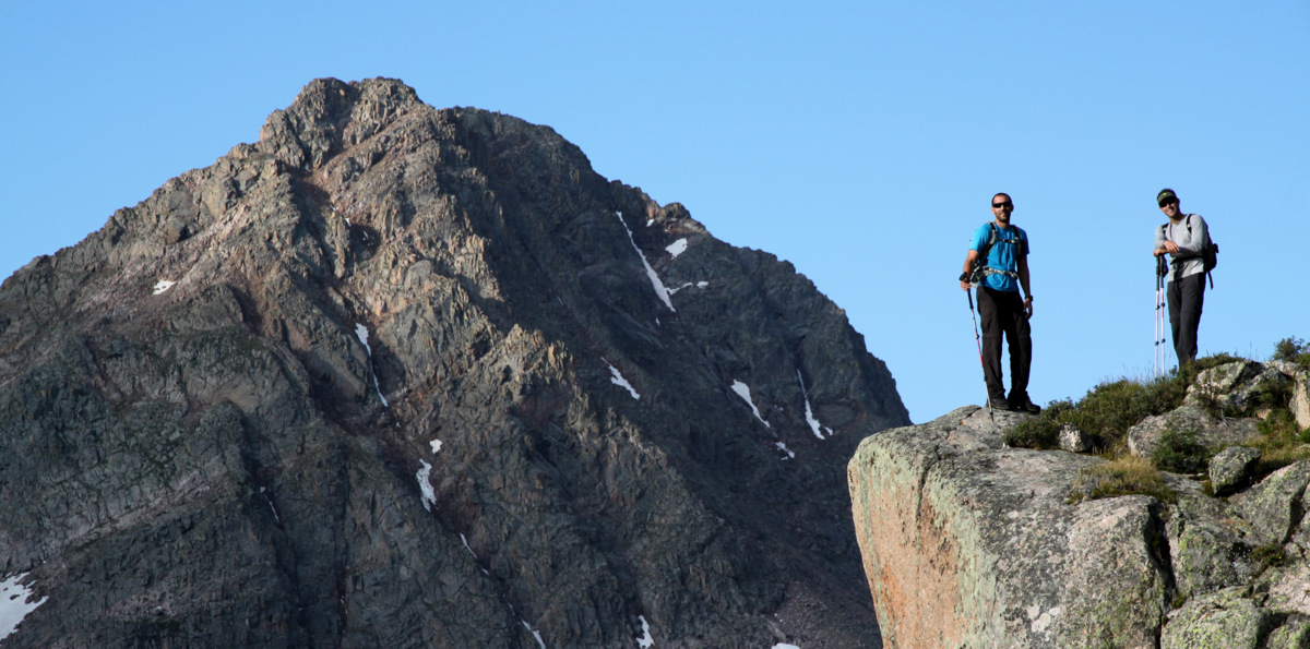
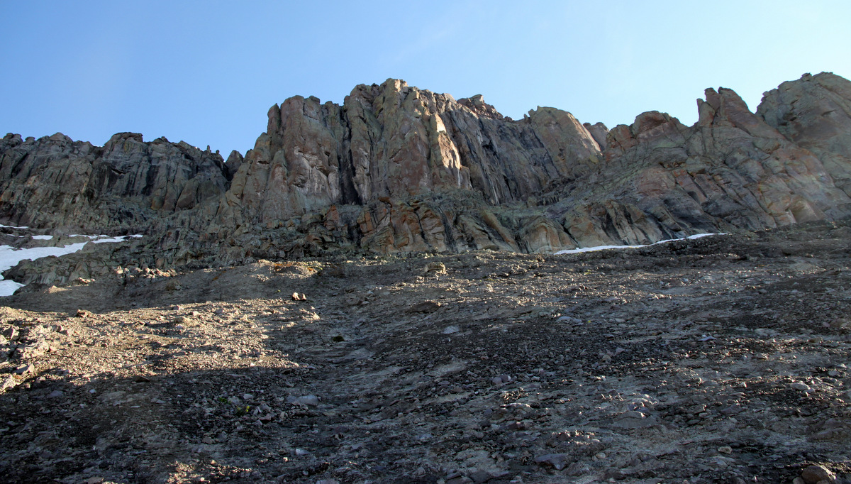
The view of Asgard was a bit intimidating, but looked manageable from this vantage point. But, as we would later find out, that’s only because the difficulties hid themselves well. We then made the easy ridge run across beautiful meadows to Point 12,226′ and got a better vantage point of Asgard. It sure looked fun and interesting and we were very excited. The views of Freya & Thor Towers across the basin were just plain awesome.

Freya Tower (left) and Thor Tower (right), as seen from Asgard Ridge, form the lower ramparts of Valhalla’s southern east ridge. Hail Peak (12,904′) is behind in the center of the picture
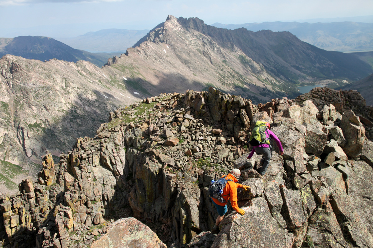
Some minor class 3 scrambling soon ensued and the fun we came for began.
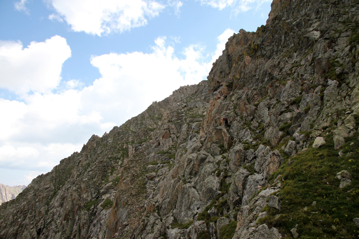
The first class 3 tower
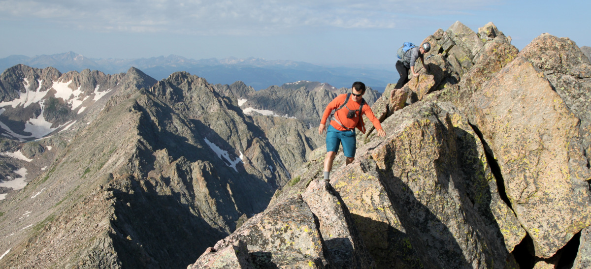
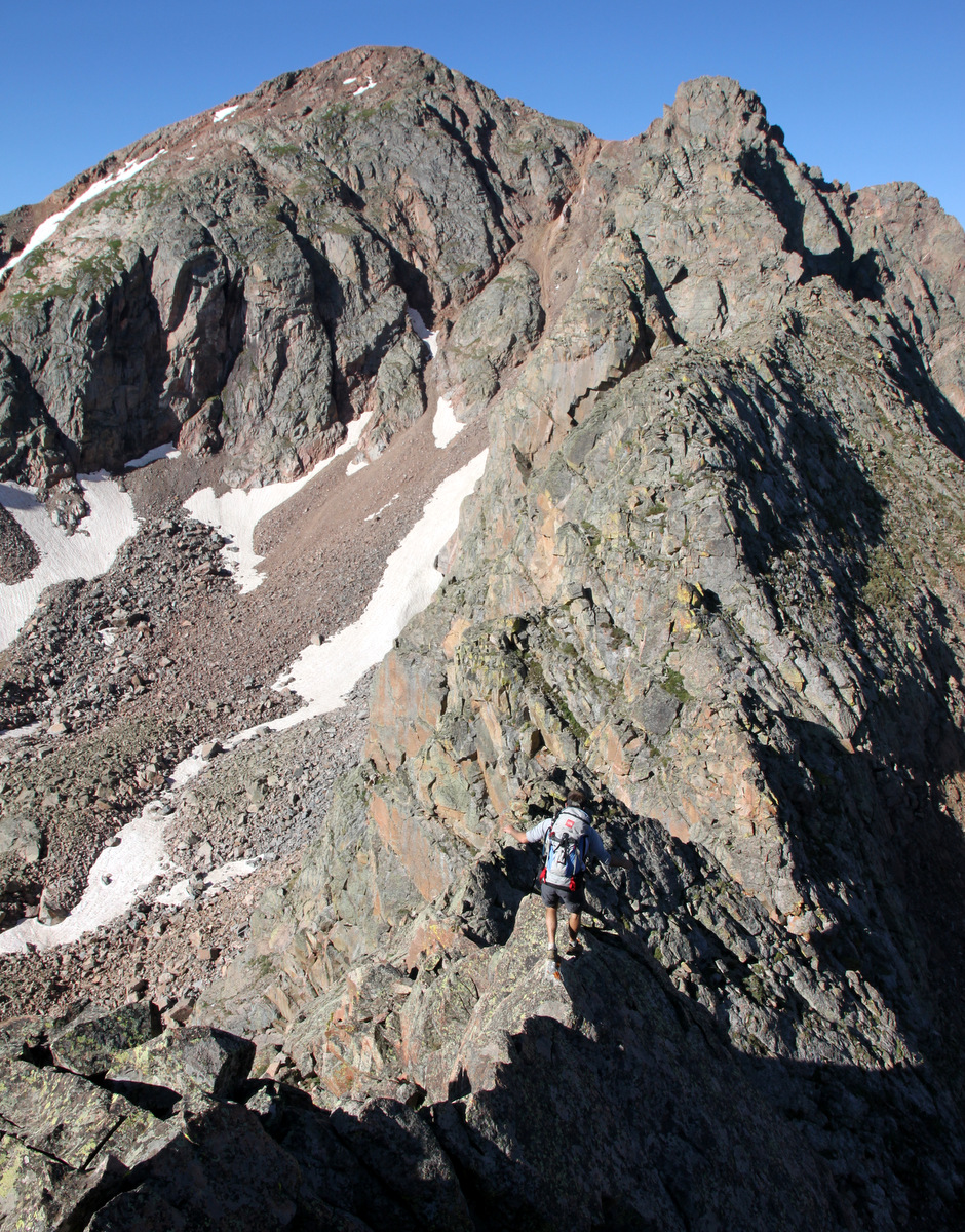
On the ridge proper with a view of Valhalla and Asgard Ridge
J on a nice catwalk
Fun early-on scrambling
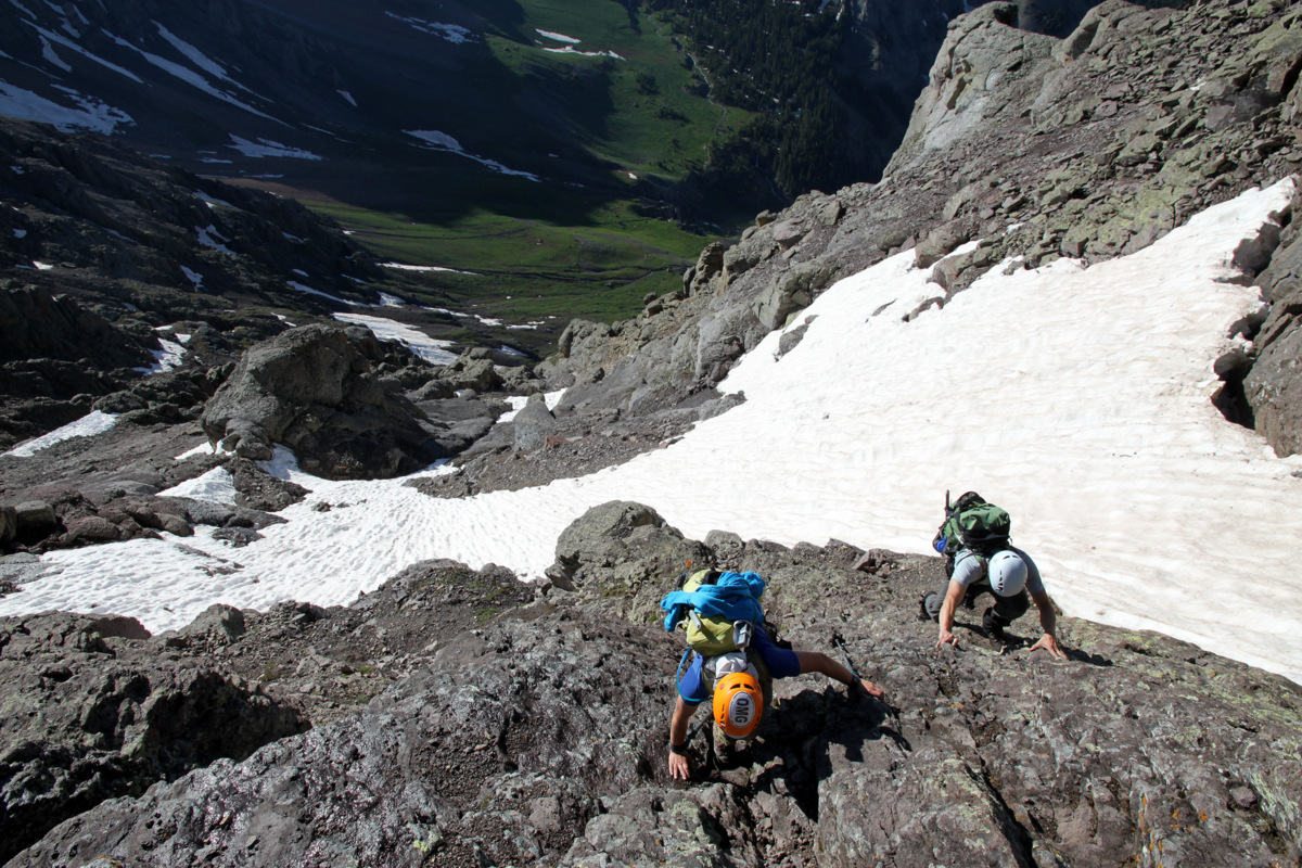
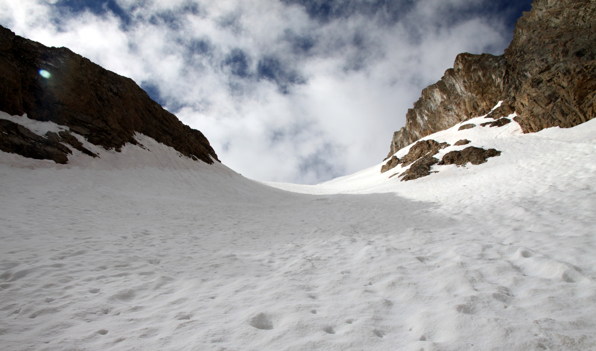
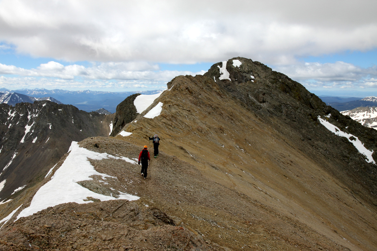
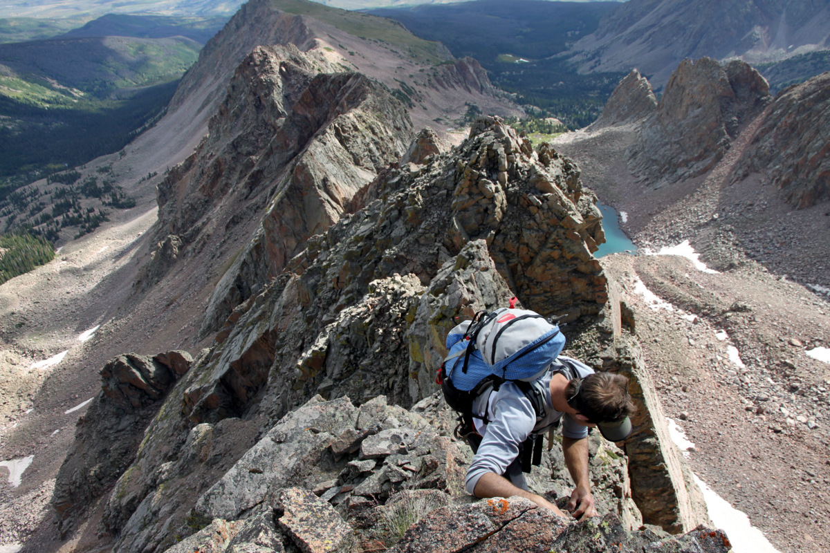
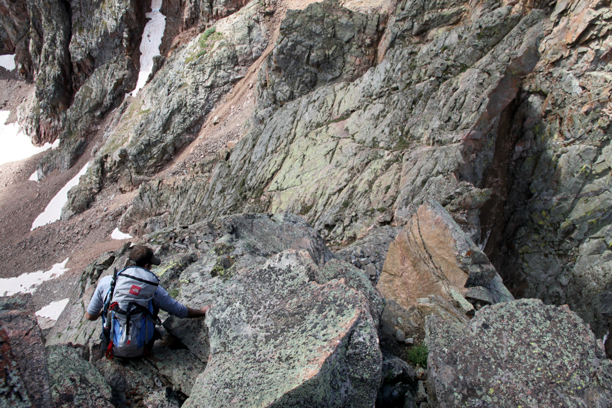
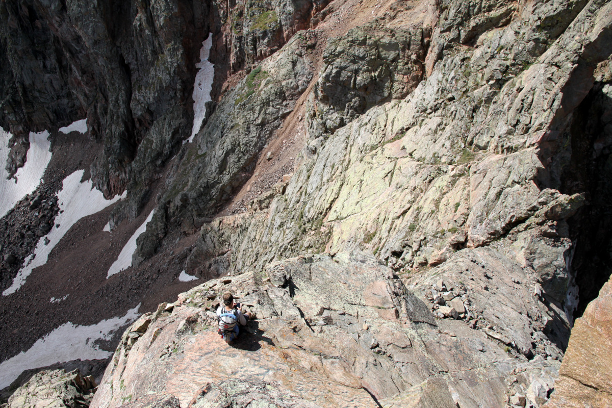
It was fairly mellow, smooth sailing class 3 (some class 4) scrambling for awhile on the ridge proper until we came to a deep notch and drop-off in which it got a bit spicy though very exciting downclimbing to the notch.
J down-walking across one of the many knife-edge ridges this day to access the deep notch

J descending the final headwall into the notch
J climbing out of the notch

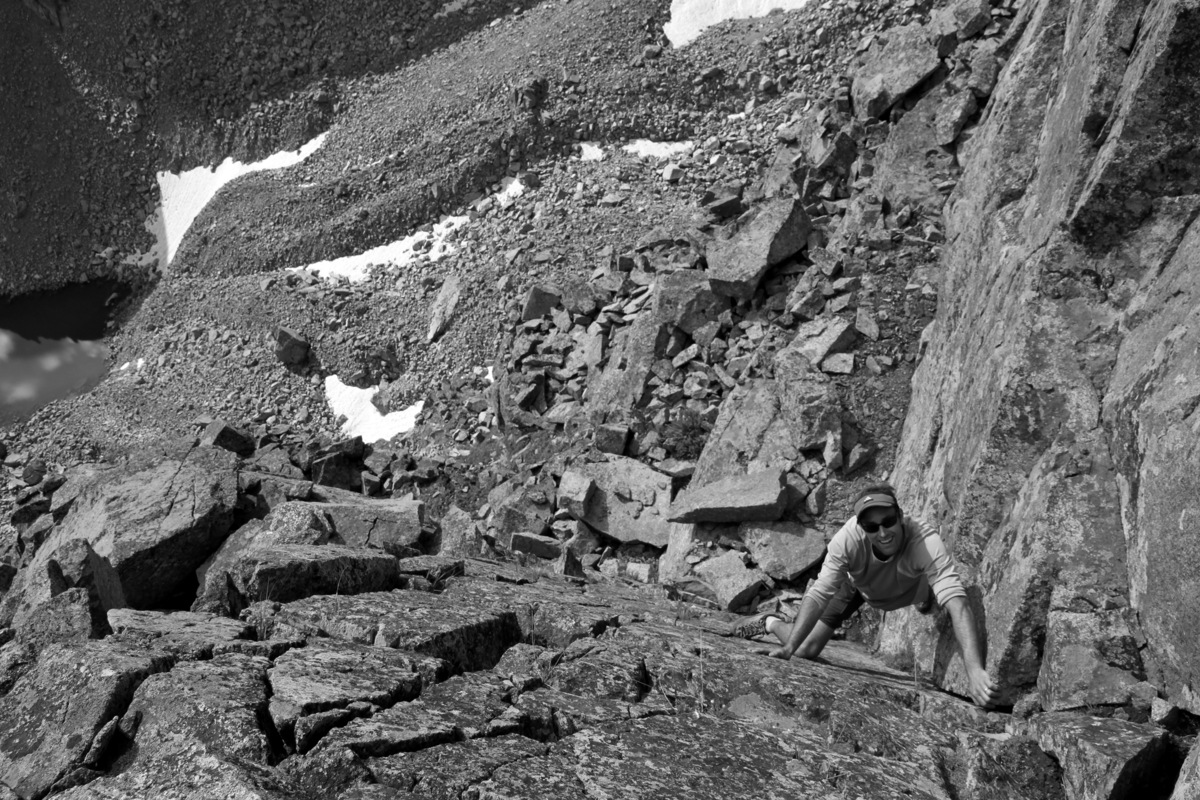
The reclimb was really good scrambling
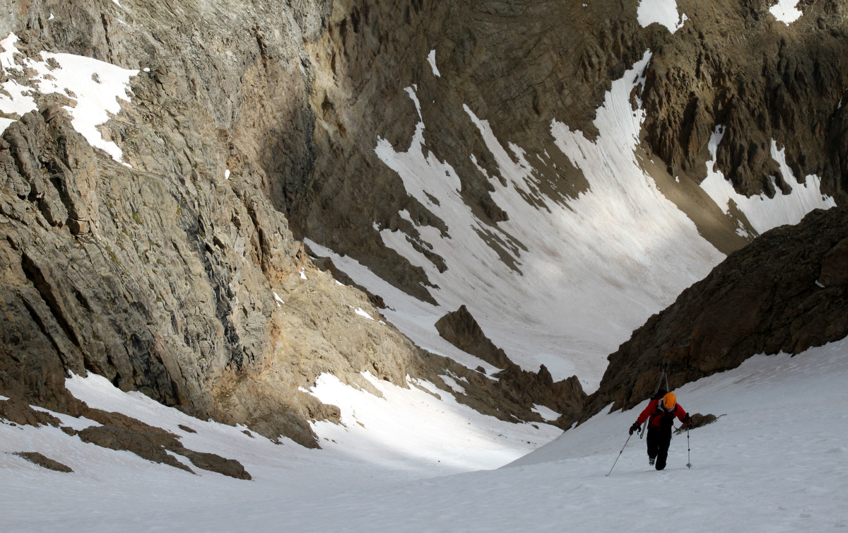
We made it down to the notch which had a cool reclimb of the same vertical lost up to a mellow, walkable ridge. This walkable ridge constricted down into a narrow knife-edge for hundreds of yards. This was the snake-like, S-shaped ridge I had seen that October day from the summit of Palomino Point. It looked amazing at the time and surely didn’t disappoint this day. J took the camera and got a few of me walking this line.
Me beginning the knife-edge

Making my way over a crux in the ridge. One thing you really had to be mindful of on this ridge was the rock. Since it really has seen very little traffic, you couldn’t just prance across a knife-edge as confidently as you would as, say, on Capitol’s knife-edge
Me on Asgard’s knife-edge
Skywalking

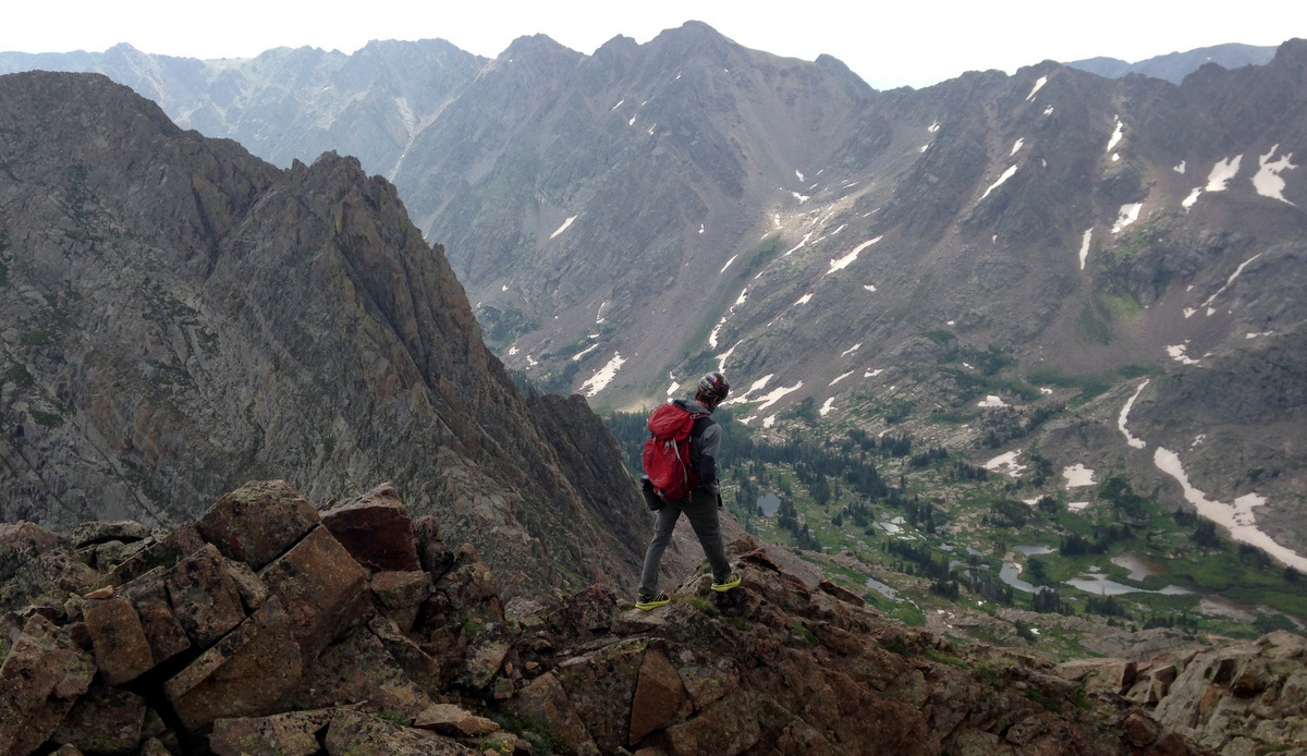
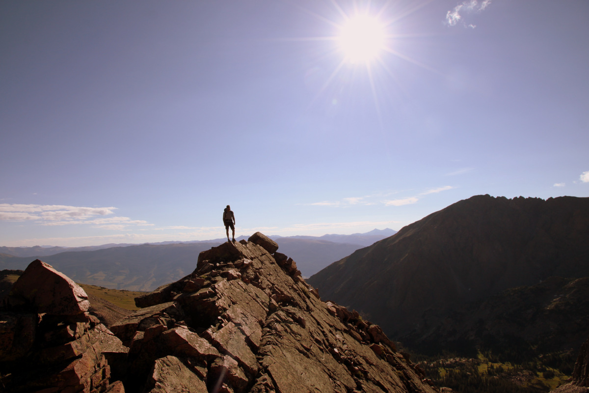
Me at the end of the knife-edge contemplating the descent. The Grand Traverse looms in the distance with Palomino Point, our end goal, at far left
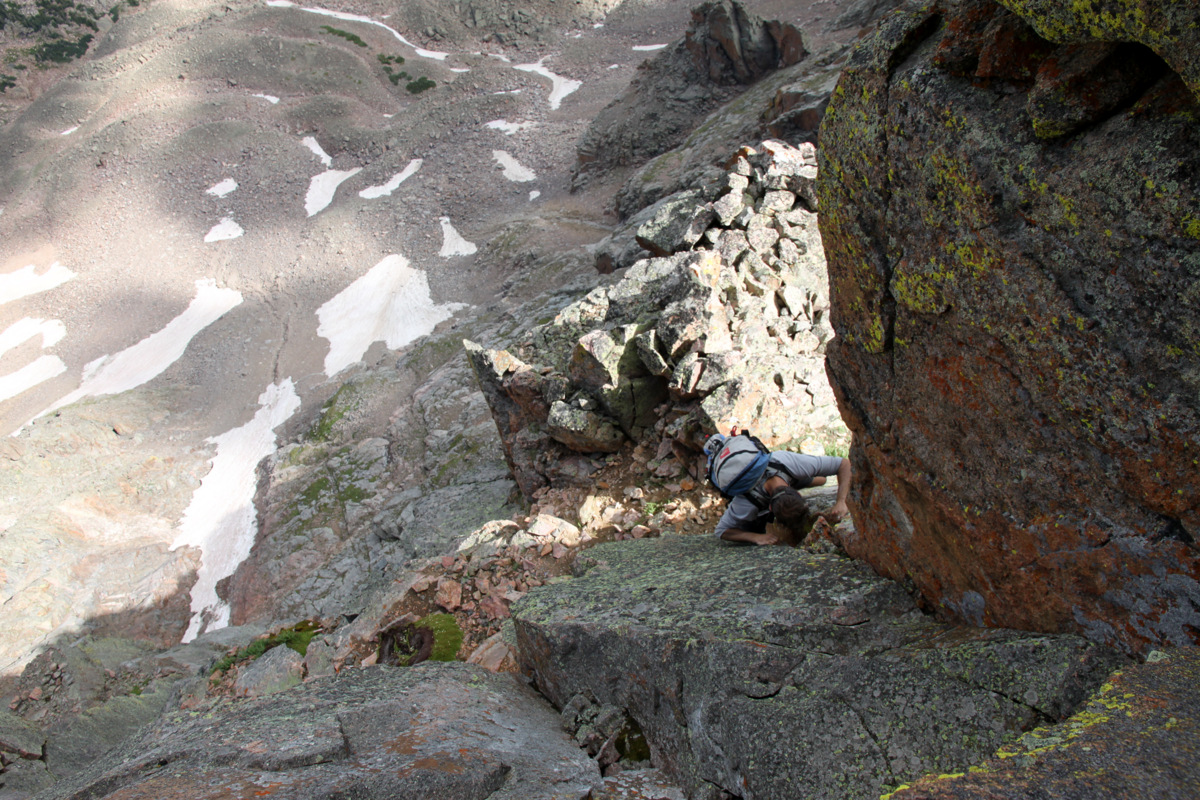
I came to the end of the knife-edge ridge to a serious drop-off: one that I remember seeing from my pictures and thinking we would need to rappel. I waited for J to join me and we agreed that this was downclimable. We took separate lines down to avoid kicking rocks on one another and joined up on a singular downclimable dihedral.
J downclimbing the dihedral with the knife-edge ridge’s terminus looming way above
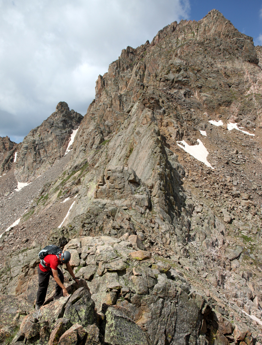
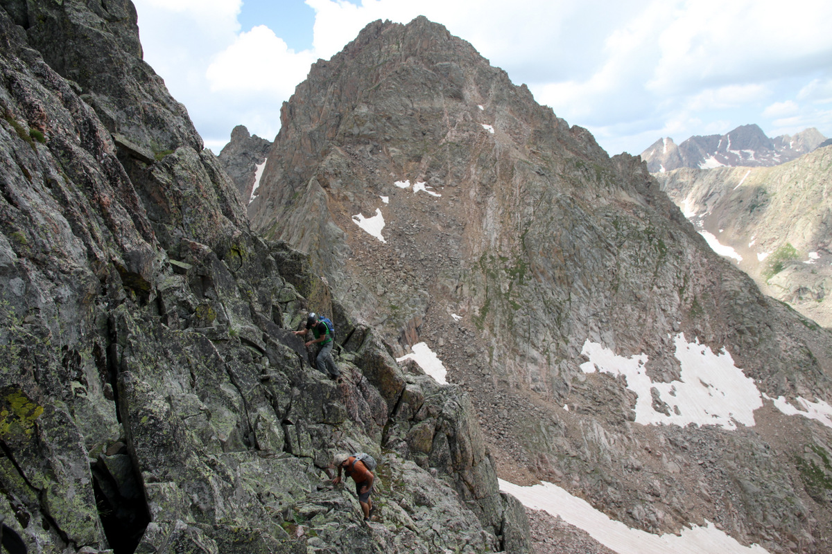
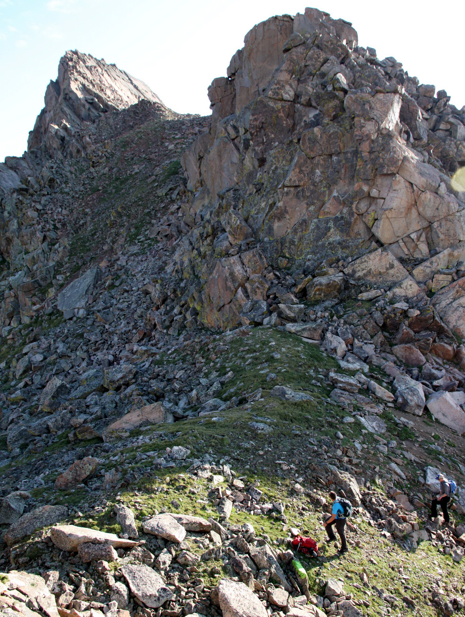
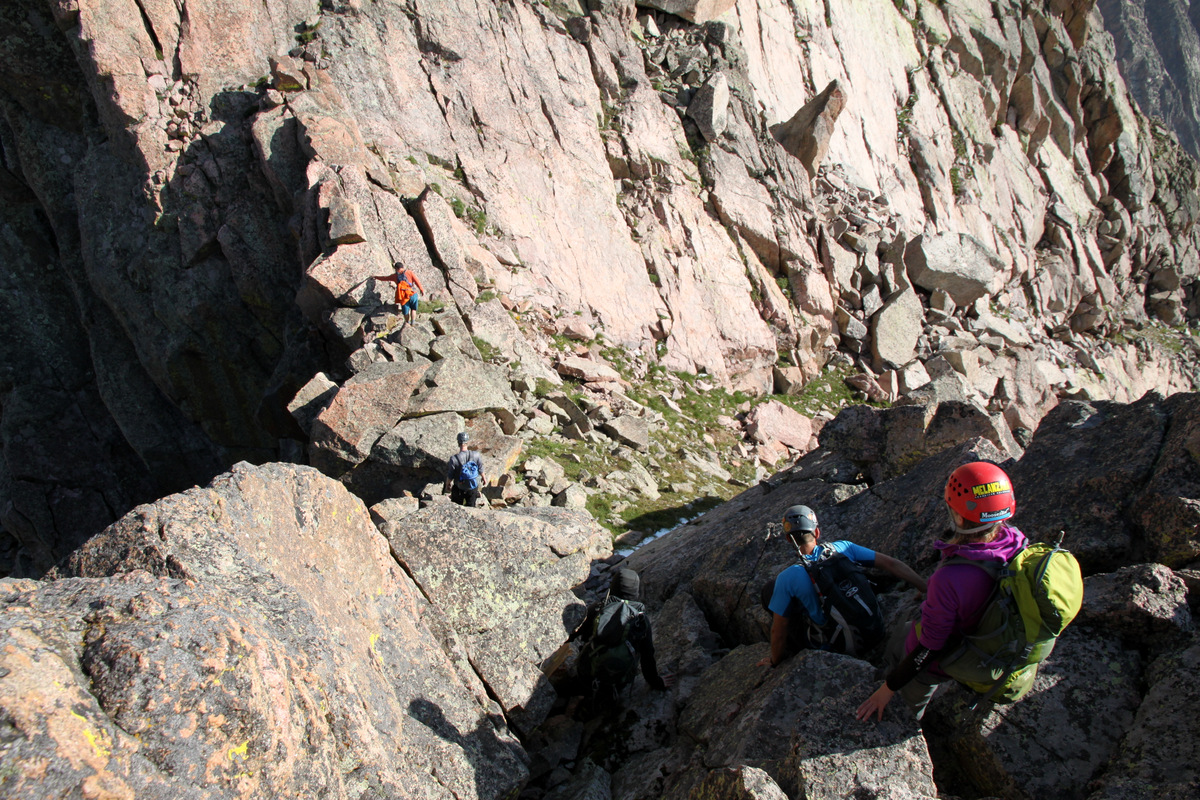
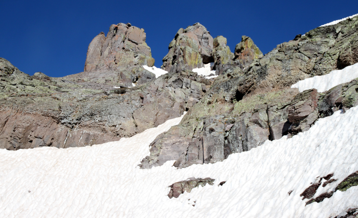
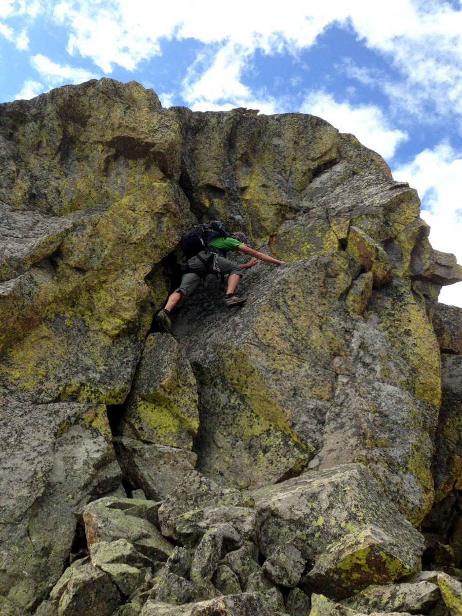
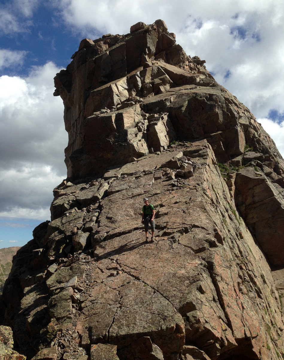
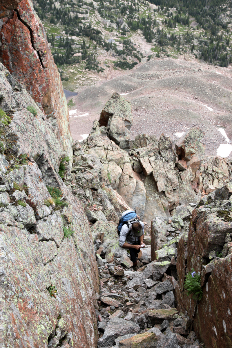
100′ later we were down in another notch. There was a striking tower that wasn’t exactly on the ridge proper. It was offset to the south a bit, but it looked like it had a cool climb up to its summit on its north side. So, we dropped the packs and climbed for maybe 200′ up to its summit.
J taking a 5th class line to the tower’s summit
Actually, it ended up being a nice preview of things to come. We discussed the route over the next bit and up to Point Odin, but because we looked at the ridge almost head-on, it was hard to see the difficulties.
J on the summit of the unnamed tower with the remaining portion of Asgard Ridge behind
Looking back at the snake-like, S-shaped knife-edge ridge. The drop-off is clearly visible at far left
J made a cairn on the tower’s summit and we were off scrambling down the tower to our bags. It was a relief to have the backpacks off, however brief it was. We gathered our packs and traversed a notch and over a small saddle.
The unnamed tower we climbed almost looks like a blade. We climbed the left skyline up to the tower’s summit. J’s cairn can barely be seen on its summit. Freya & Thor Towers can be seen on Valhalla’s southern east ridge behind above the small lake (Asgard Lake?)
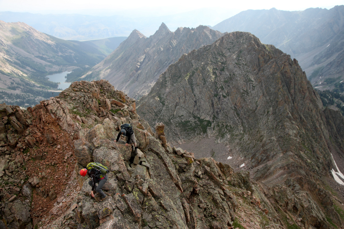
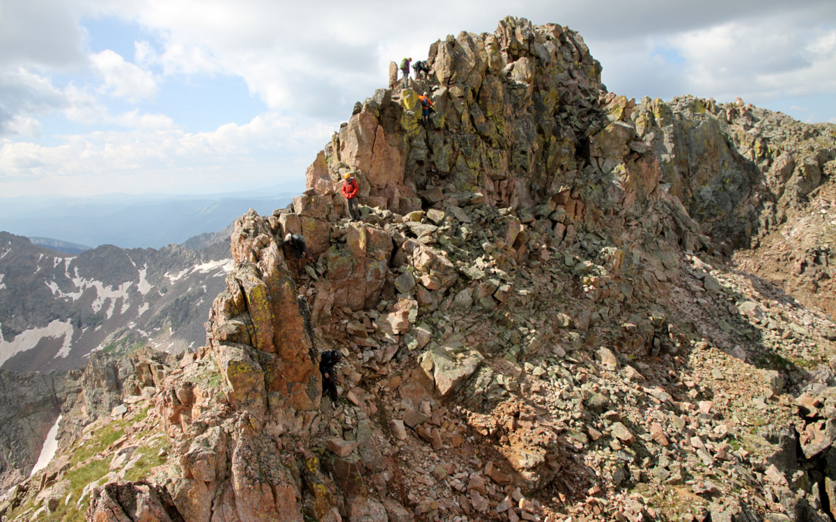
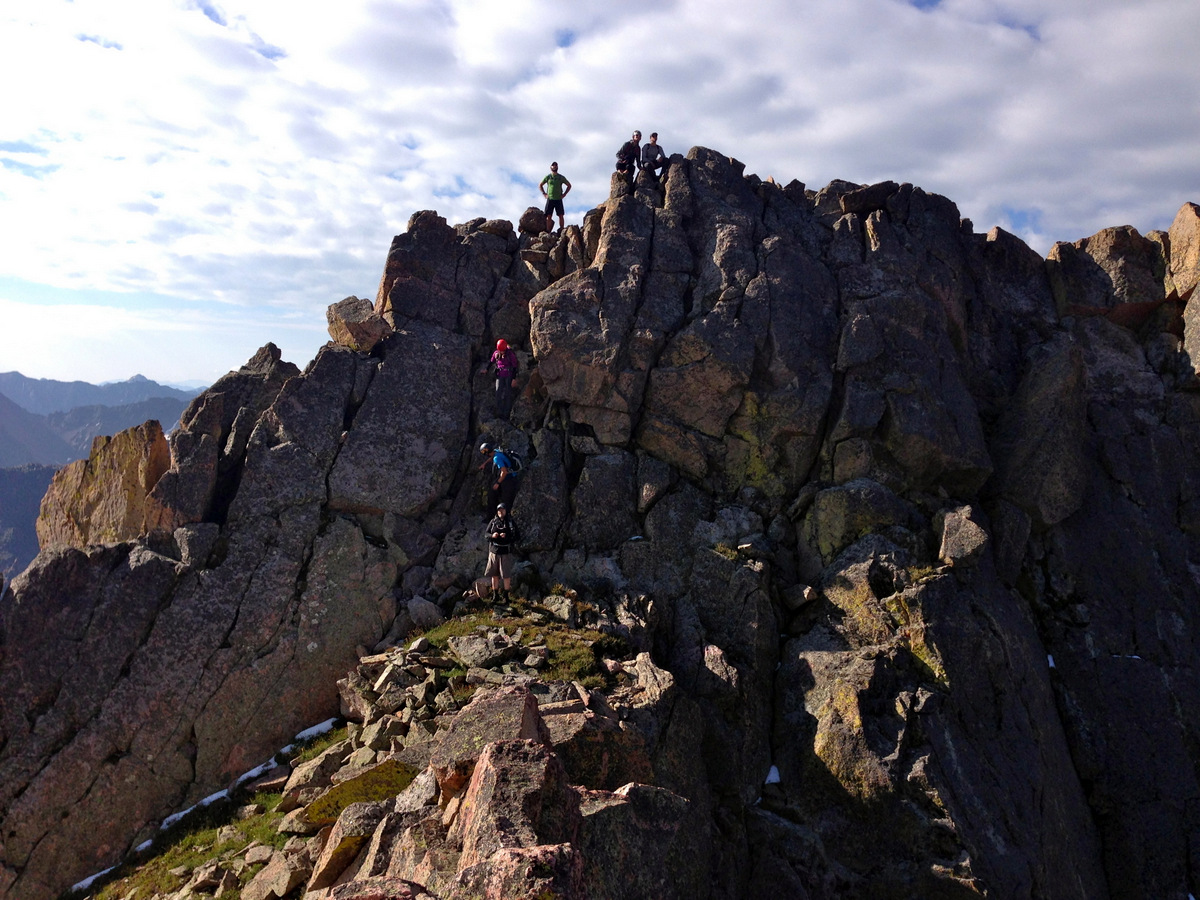
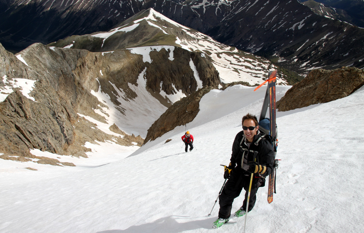
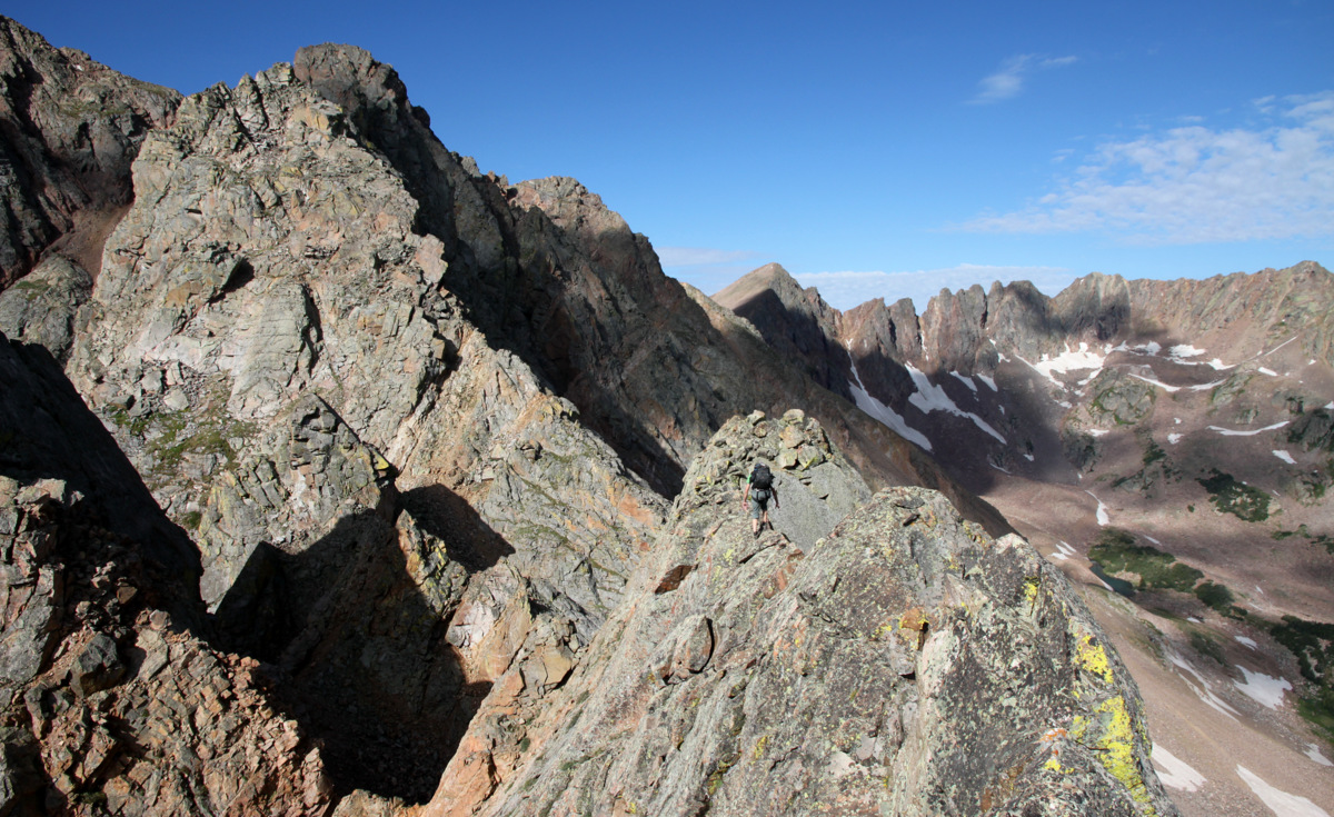
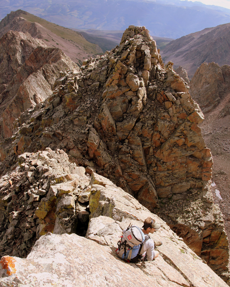
We then began the fun class 3/4 upclimb of what we thought was Point Odin.

J scrambling upwards with Asgard Ridge beginning to spread out behind us
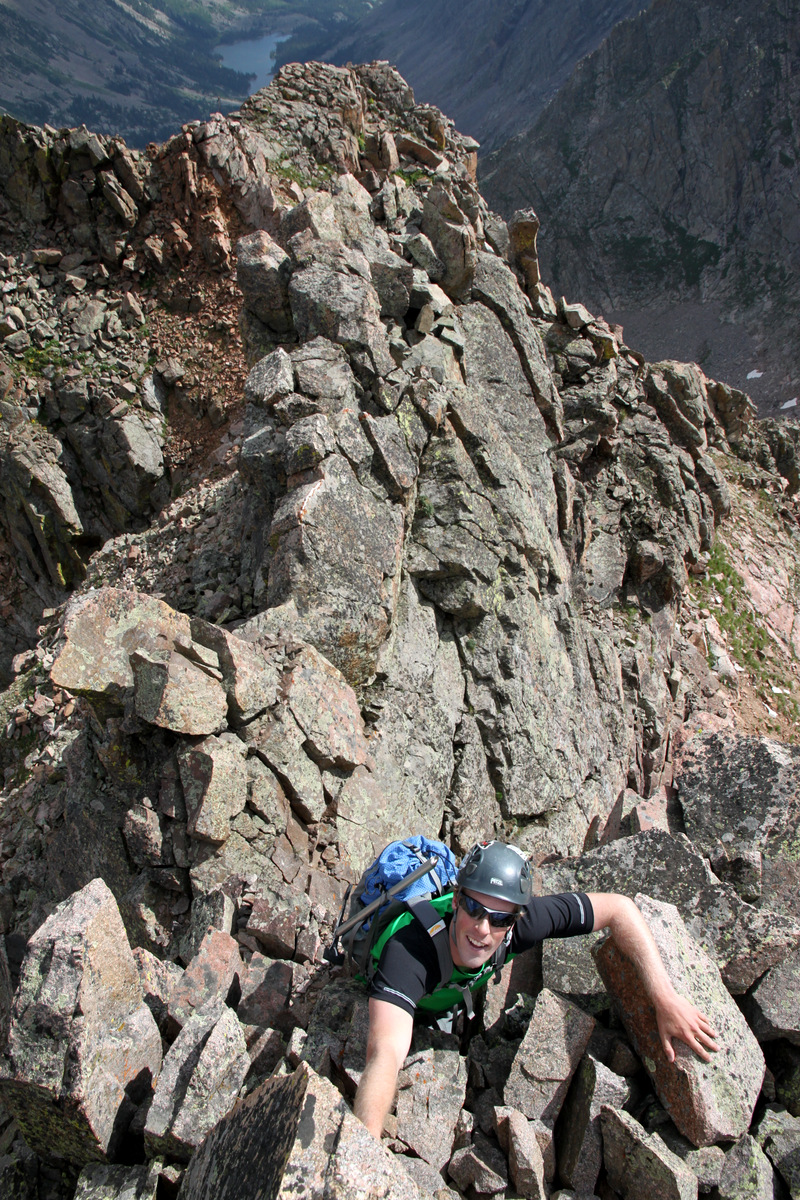
Me negotiating the low 5th class block

J topping out on the false summit
After some fun low 5th class moves up a block, we came not to the summit of Point Odin, but a measily false summit.

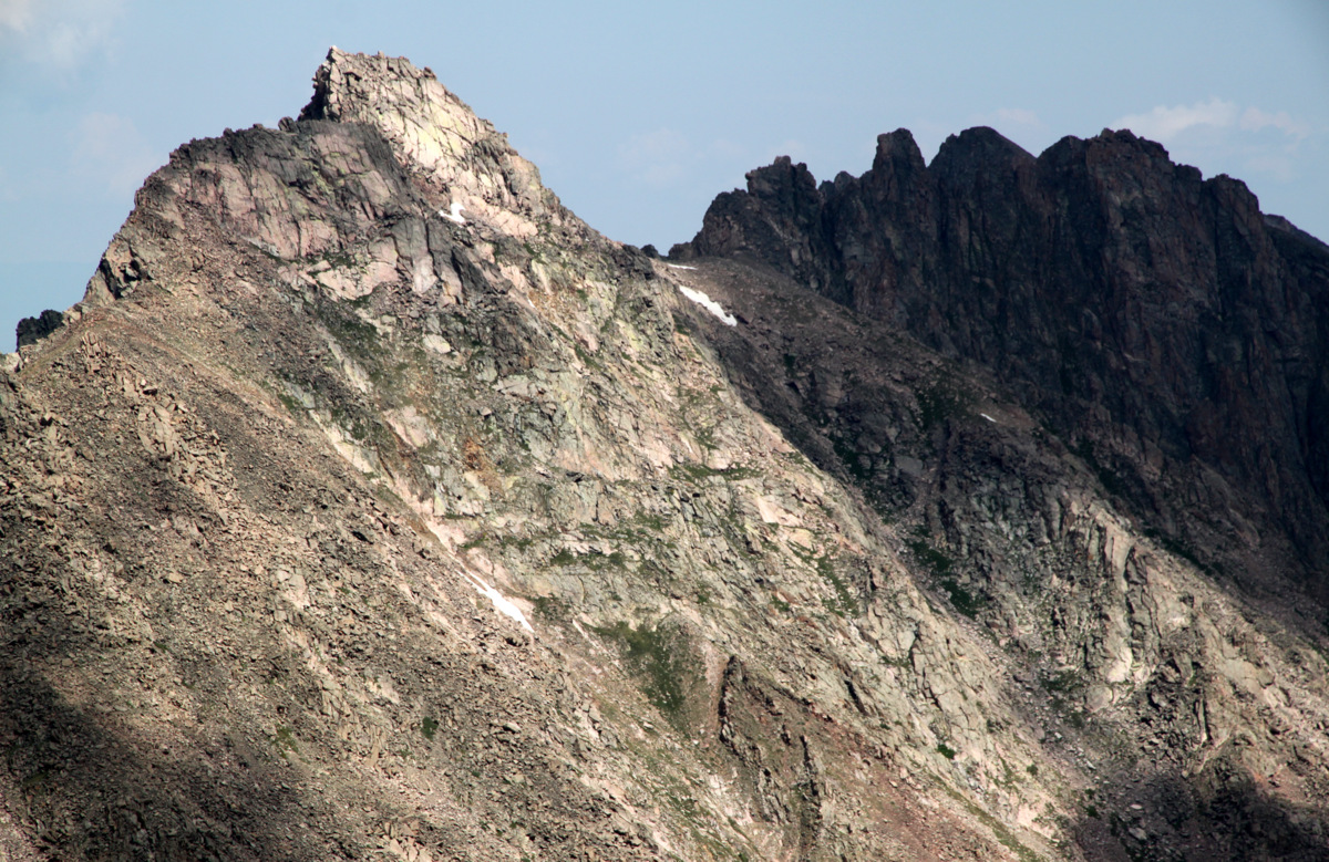
Left to right from the false summit: Valhalla, Palomino Point, & Point Odin
We had to descend to a notch over very exposed terrain only to climb back up on steep, angling slabs with big air on both sides.
J taking a breather on the sloping slabs up to Point Odin with the false summit behind

J on the fun sloping slabs
We then came to an unexpected deep gap in the ridge about 3′ wide. The only reasonable means of getting across was to jump across the gap, which turned out to be fairly adrenaline pumping move.
J jumping the gap
J took a quick video of me jumping the gap:
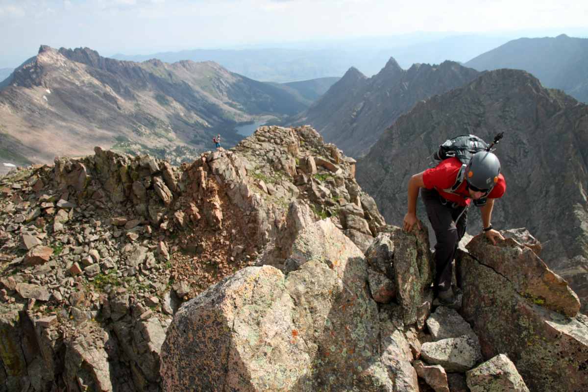
From the deep notch after the jump, it was a really fun class 4 arete with super exposure and a lot of air.
J on the exposed arete
We then seemed to come at an impasse, but soon realized there was a 10′ hand crack weakness on the right (north) side of the arete proper. I climbed this using a few hand-jams and was soon on top of this crux. It was then a mantle-type move to top out on the summit of Point Odin.
Me at the top of the low 5th class hand-jam crux
J climbing the low 5th class hand-jam crux up to the summit of Point Odin
J topping out on Point Odin’s summit after the mantle move
I took a video of J on the hand-jam crux section as well:
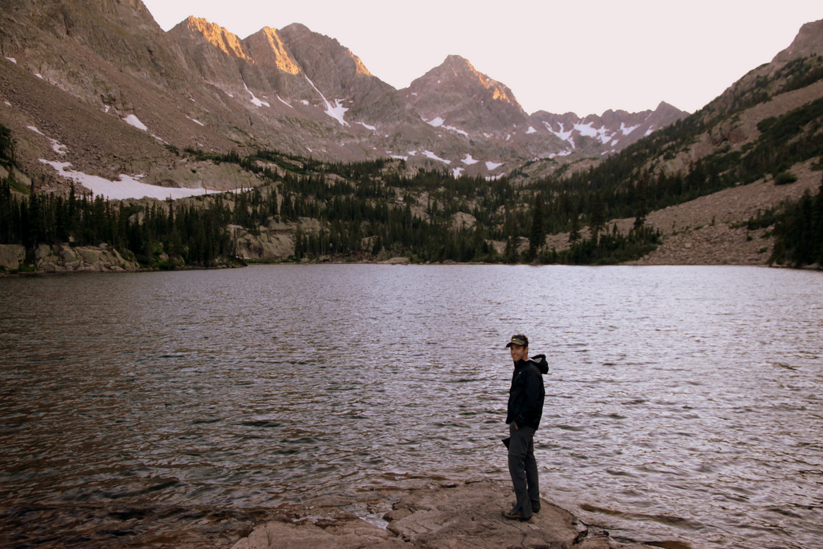
Ahhh, was good to be on this summit. We were now pretty close to Palomino Point, a whole lot closer than we were 2 hours ago.

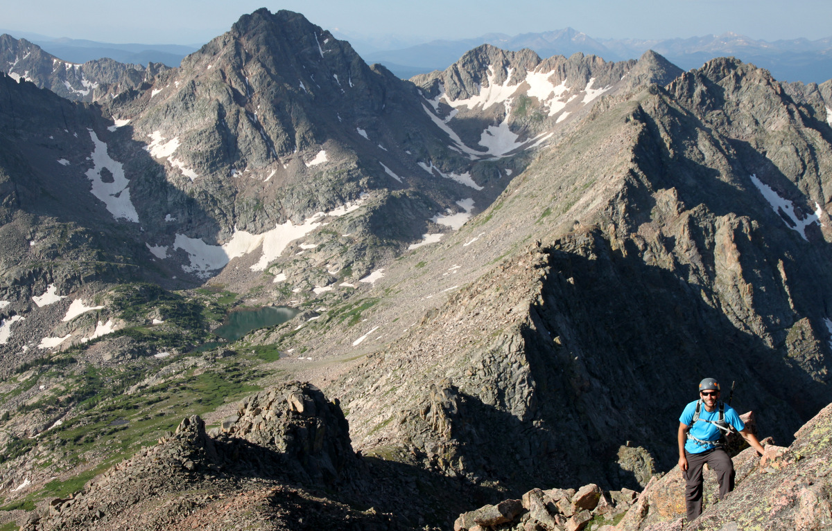
Valhalla (left) and Palomino Point (right) from the summit of Point Odin
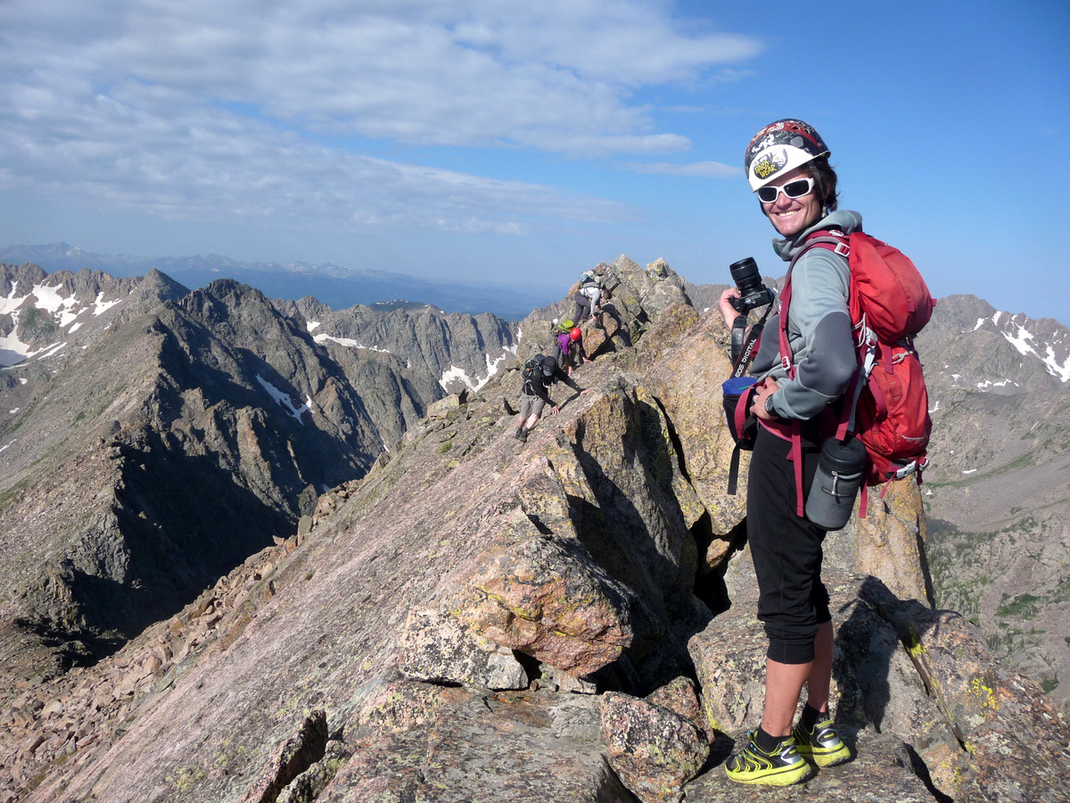
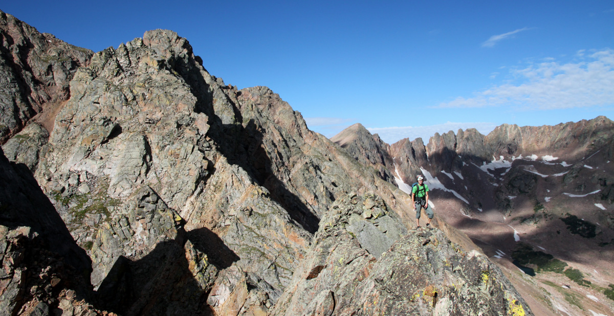
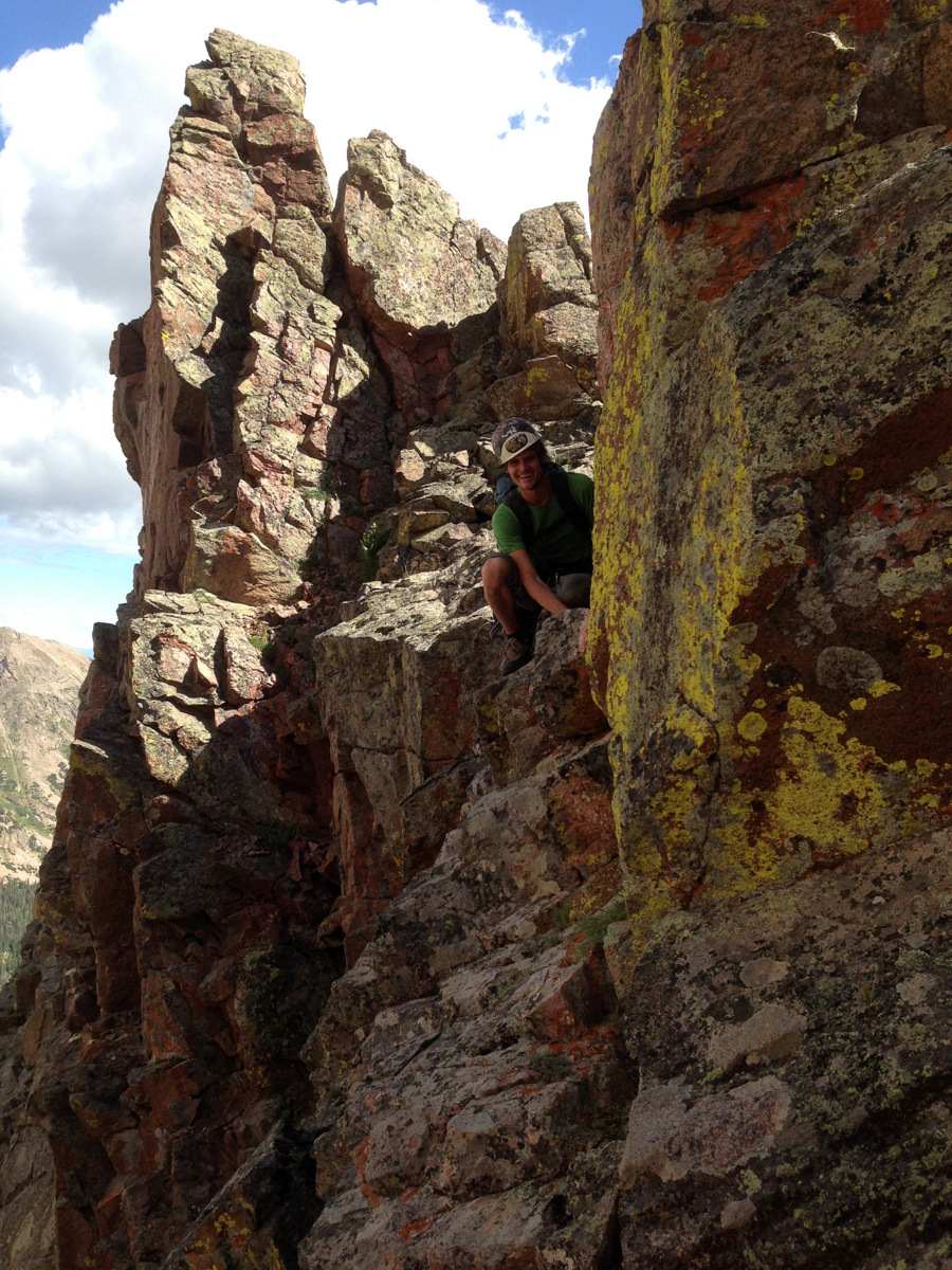
Summit of Point Odin
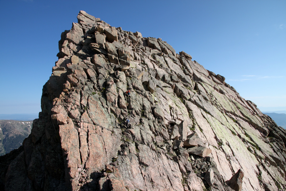
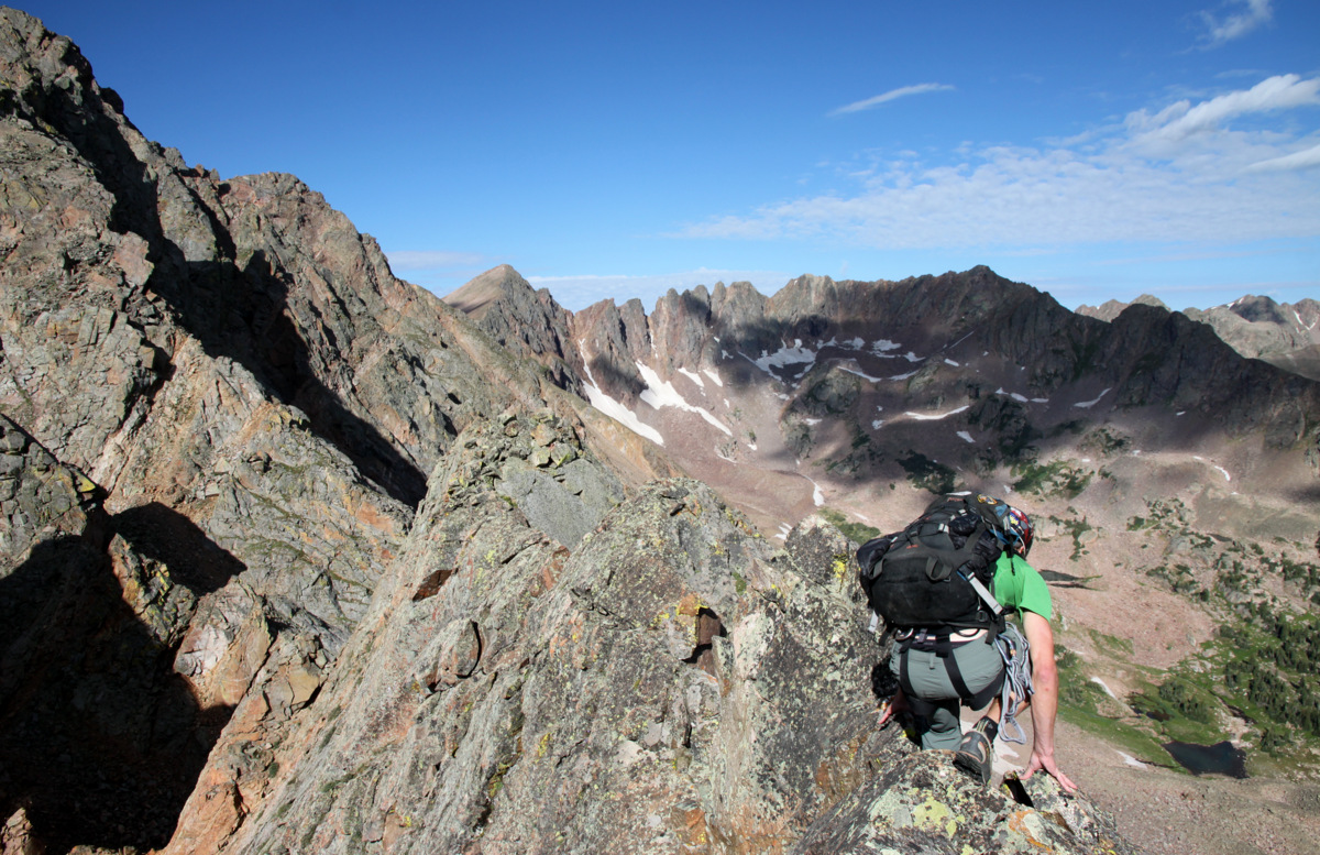
We could see the remaining climb up Palomino Point’s east face, but first we had to deal with getting down off Point Odin and some more knife-edge ridge. Again, this is where I envisioned us rappelling off Odin’s west ridge, but again we found a downclimable route. It was indeed exposed and very airy, but was downclimable for us. J went first and led us home.
J beginning the downclimb off of Odin’s summit. The crux chimney was immediately below him in attaining the angling slabs
J descending the angled slabs below Point Odin

And down another small drop to another angled slab
Me and our descent off Point Odin
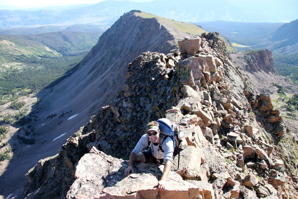
The slabs leading off Odin’s west ridge weren’t nearly as steep as they looked from above over a year ago, but definite care & caution had to be taken on this descent, as with any descent. Again, a knife-edge ridge ensued to an interesting crab walk below the ridge proper over big air to the north.

J on another knife-edge ridge
Yet, the positions were pretty amazing

J
Yep, another small catwalk
And, finally, the crab walk traverse on the ridge’s north side
Me on that crab walk traverse
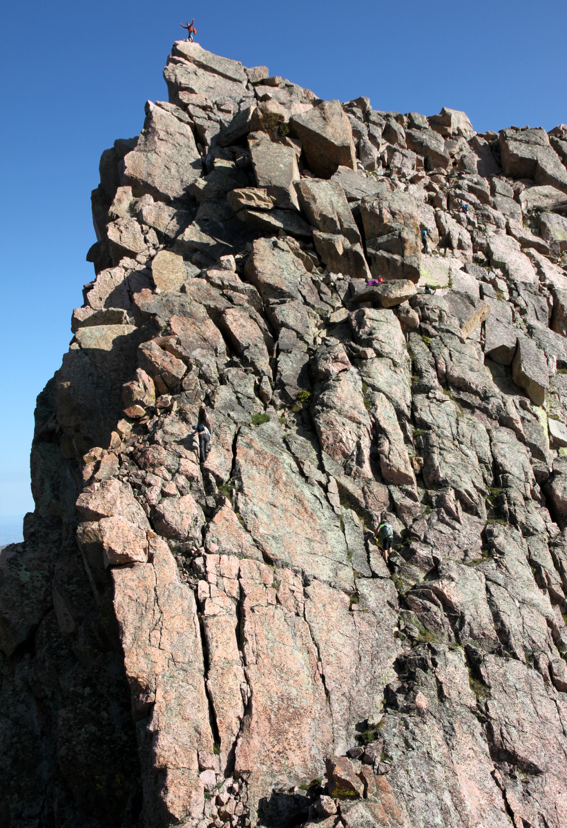
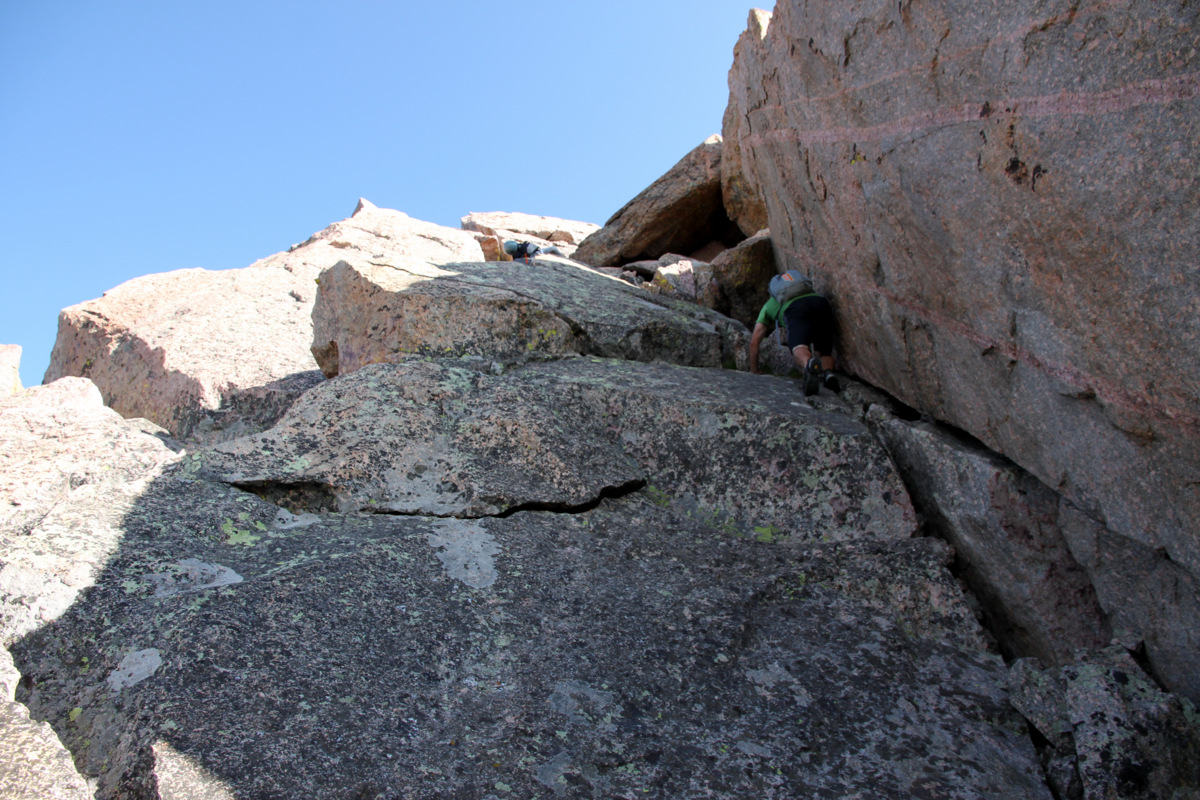
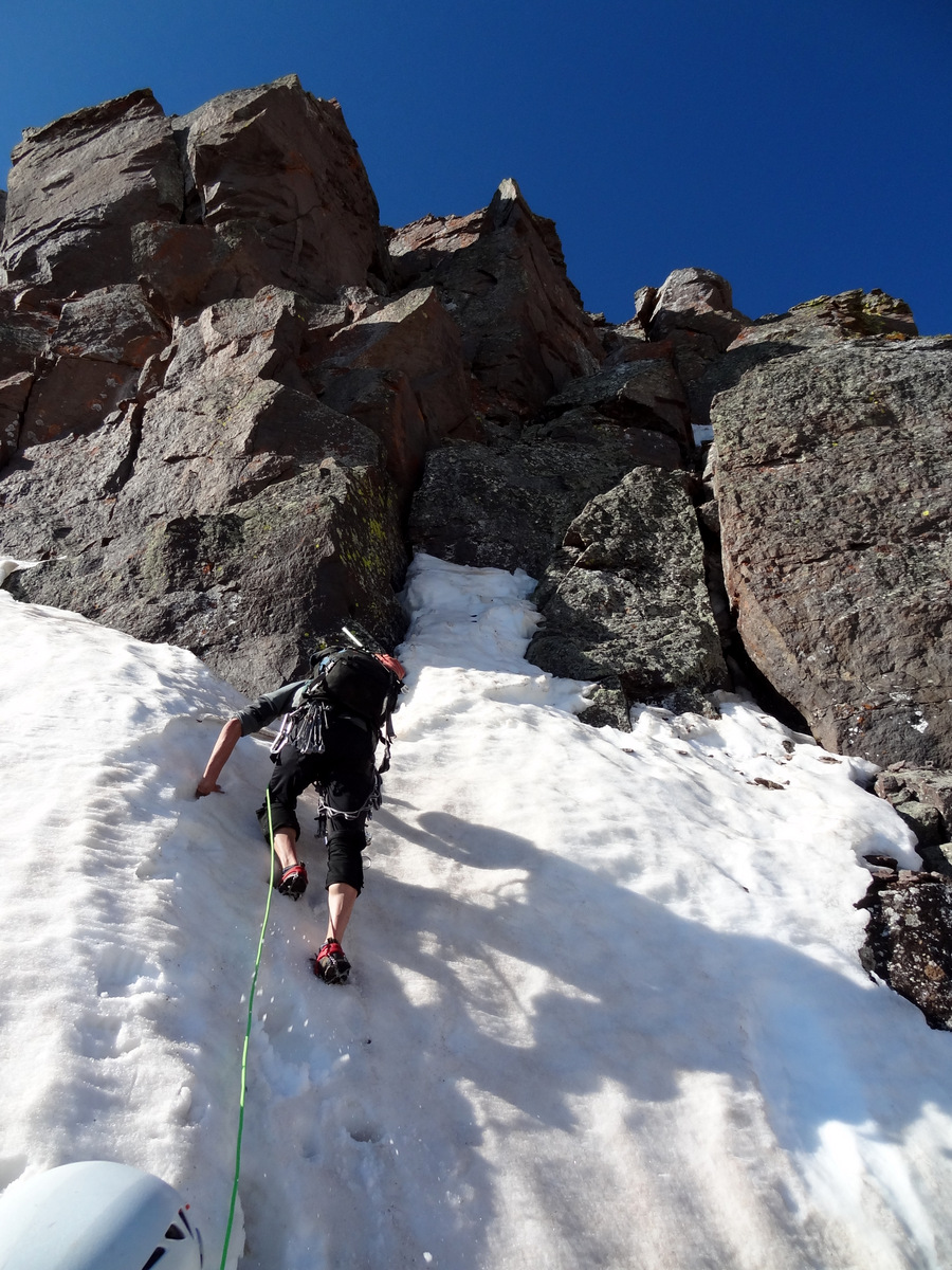
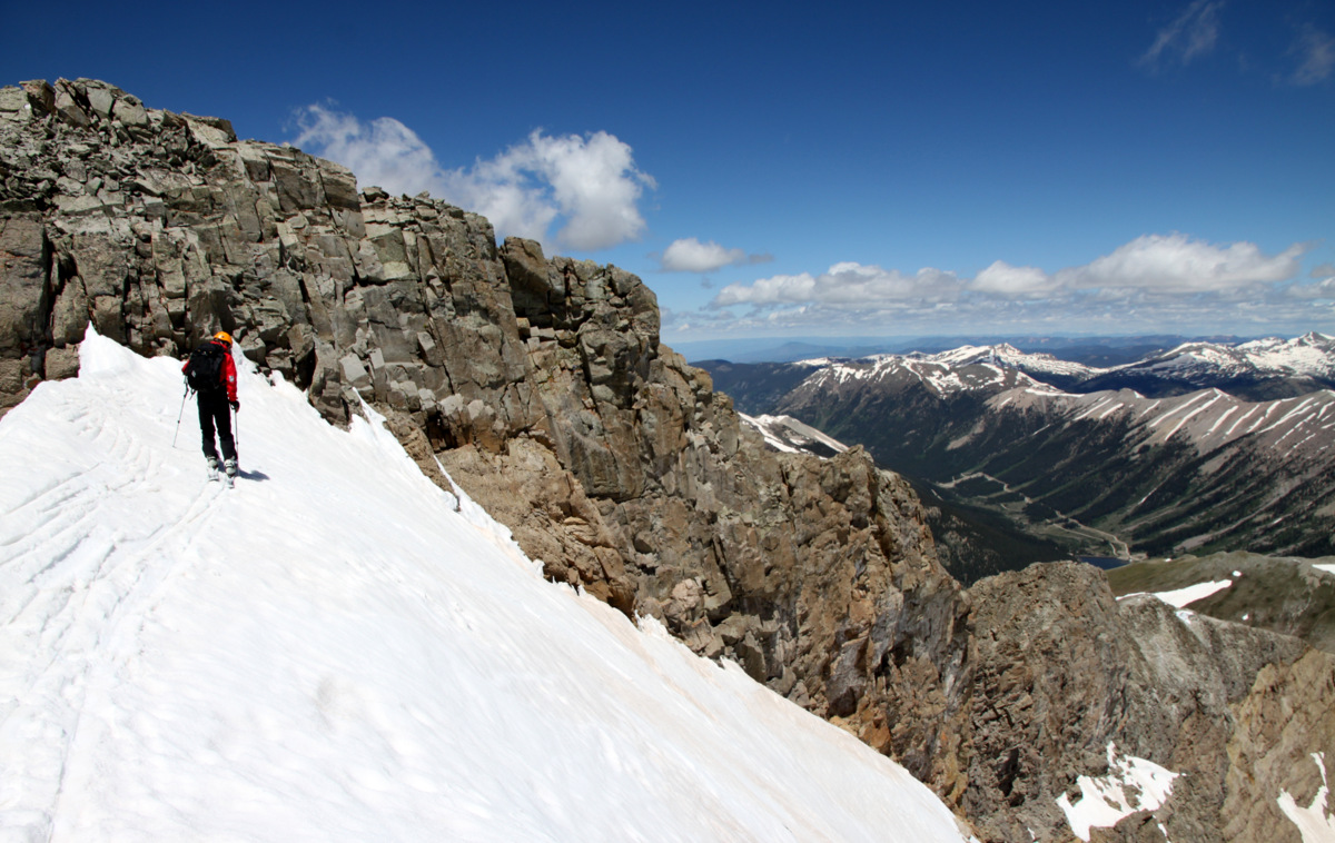
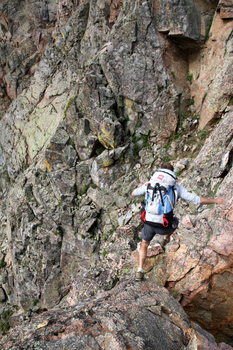
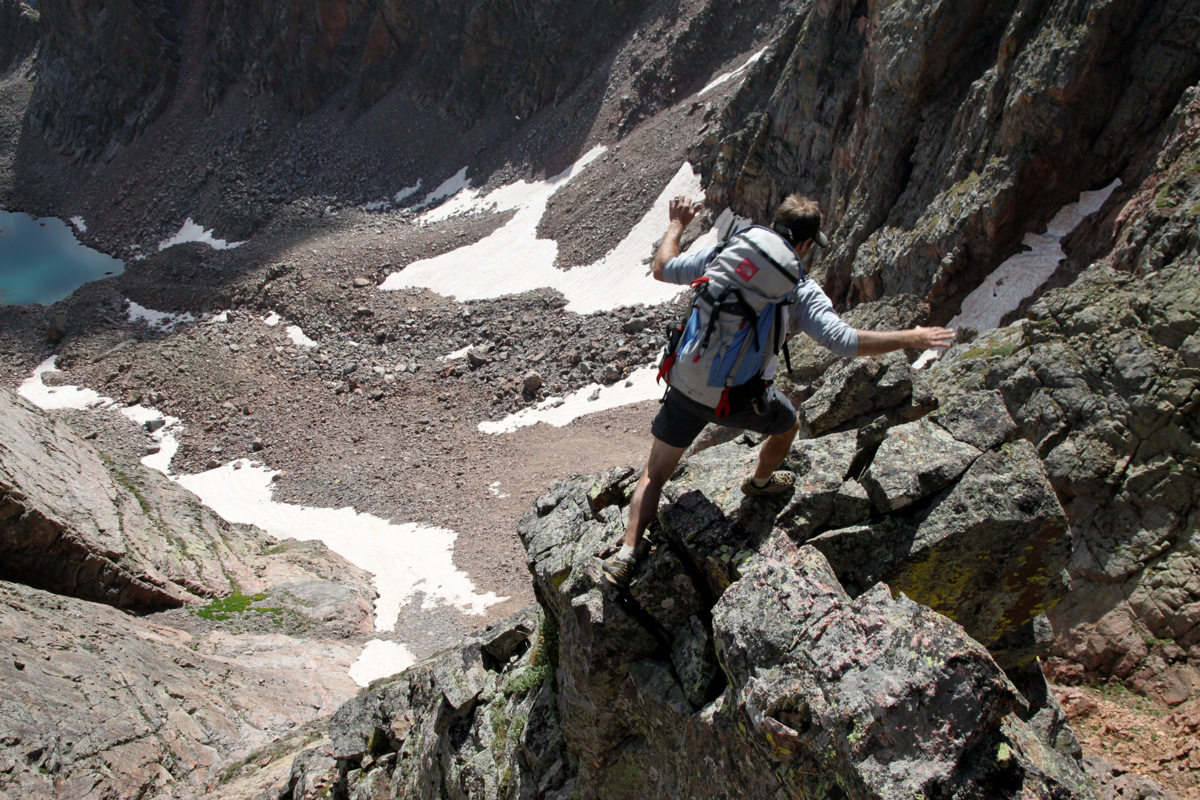
Finally, we were on easier yet looser terrain. We had noticed a grassy ledge system to access this deep slot angling up Palomino Point’s east face and so we went with that.
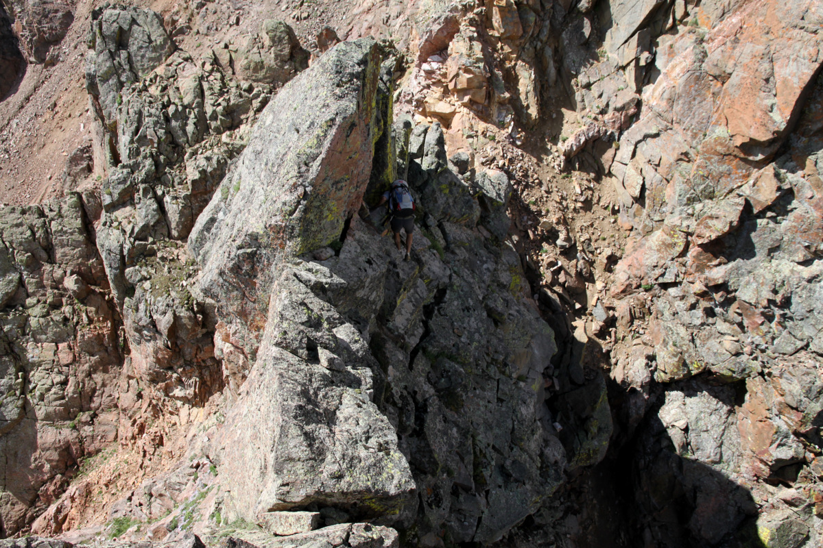
Off the difficult terrain and climbing up Palomino Point’s east face. Point Odin is behind
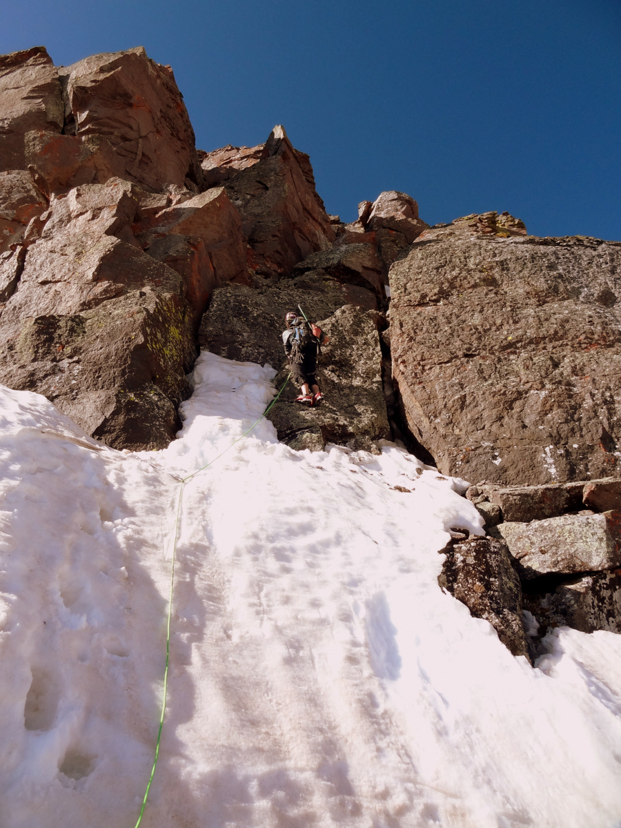
J on the grass ledge system crux
The grass ledge system was indeed exposed, but the holds were good and we were home free once we entered the deep slot leading towards Palomino’s summit. Once in the deeply inset slot, J found something very interesting – a 35mm camera film canister. He opened it up and what do ya know! It was a Palomino Point summit register by Joe Kramarsic himself. It must have blown/fallen off Palomino Point’s summit.
J dissecting the film canister in the slot
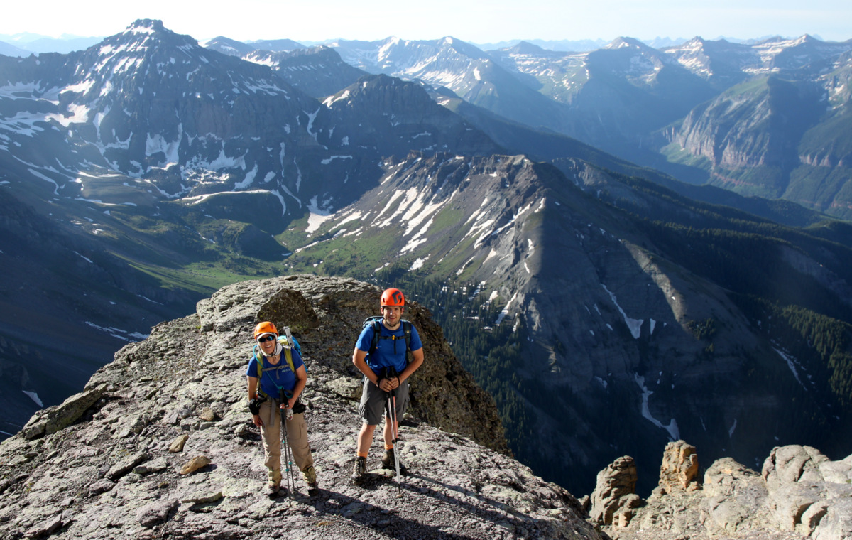
So, we carried it with us to the summit and left it where it belongs. The views from Palomino Point’s summit were indeed incredible especially looking at from where we had come.
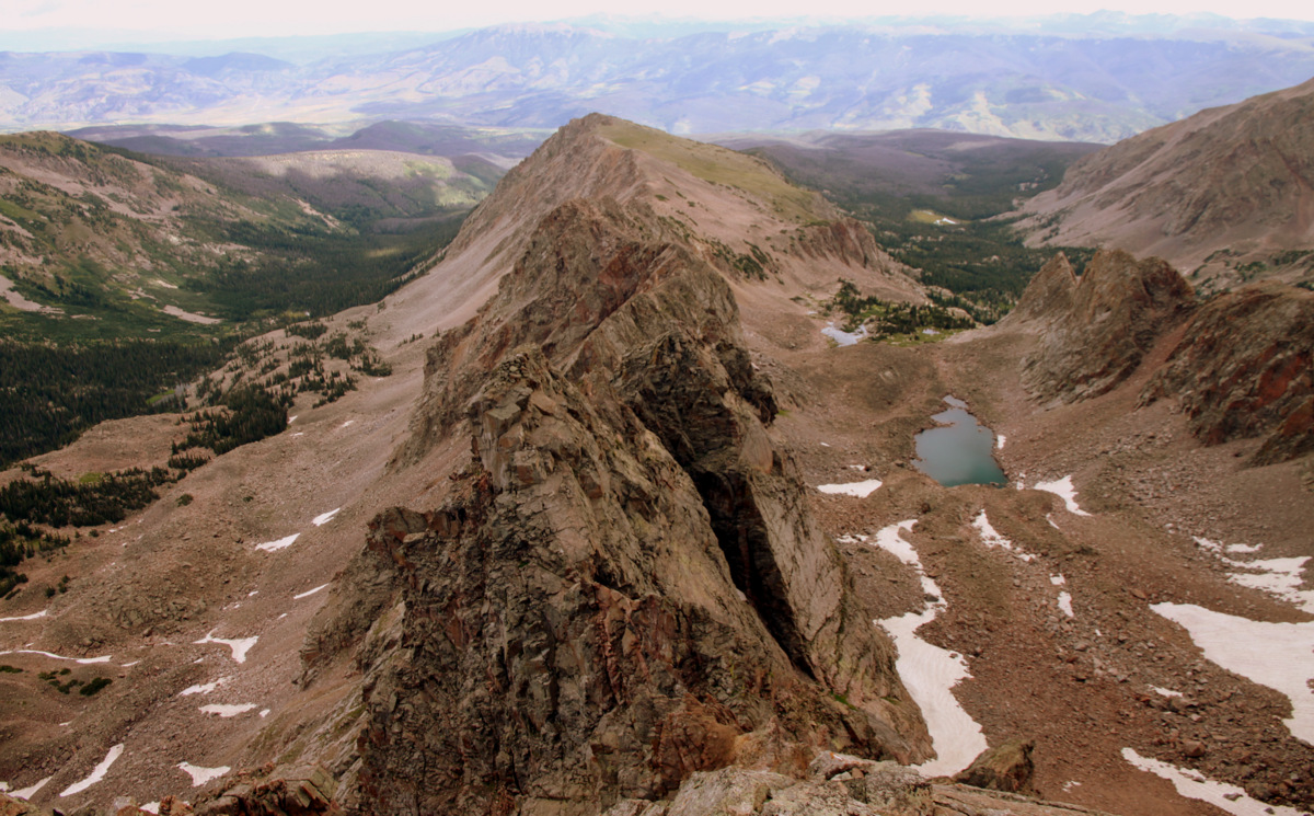
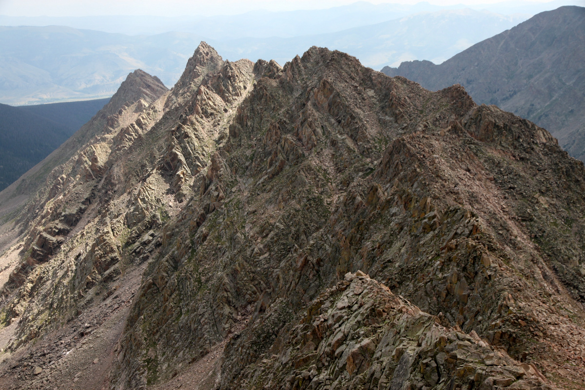
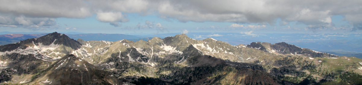
Asgard Ridge from the summit of Palomino Point
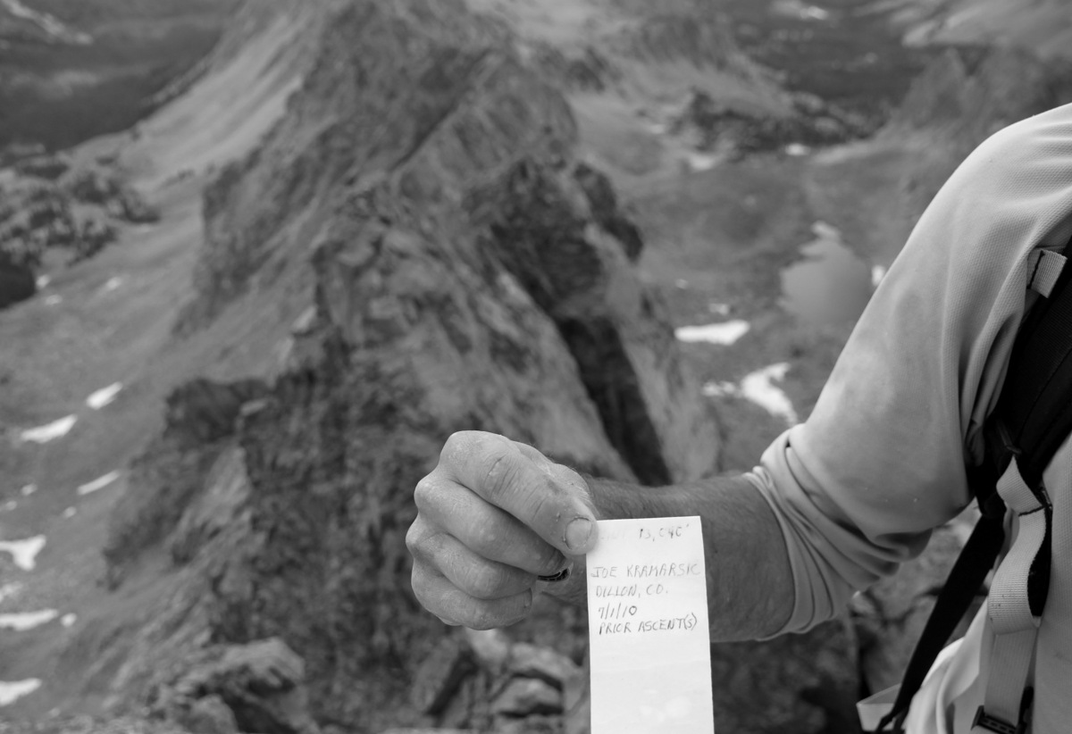
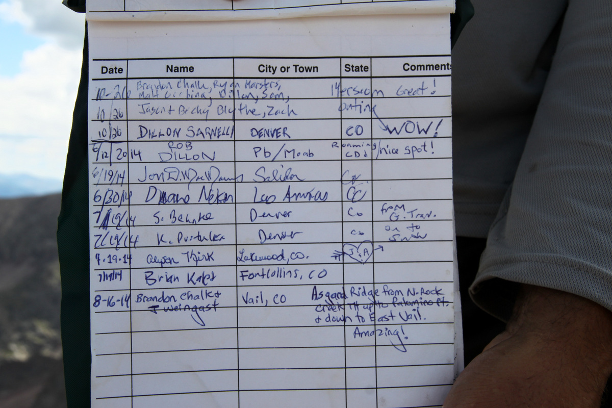
Joe’s summit register

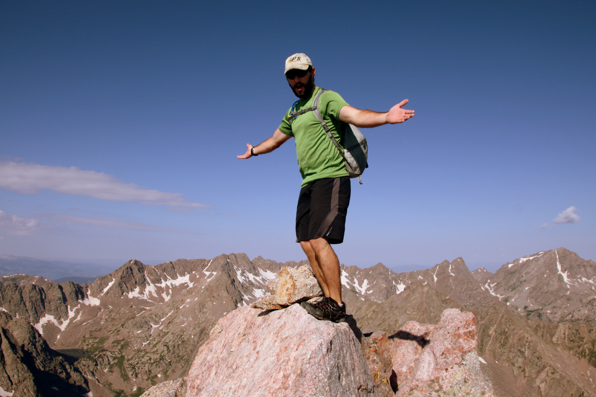
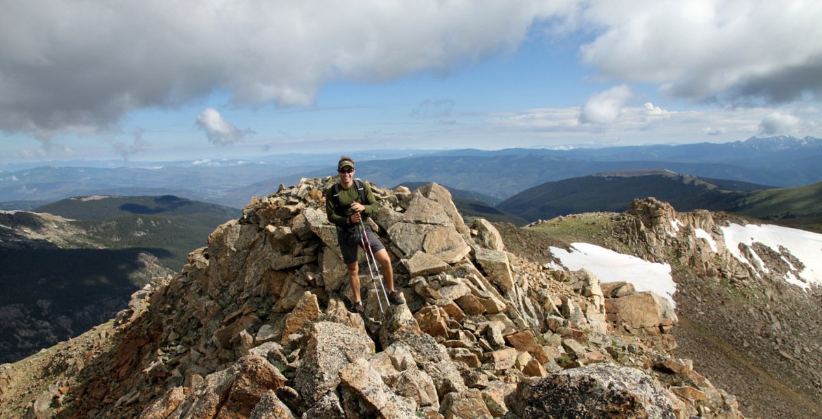
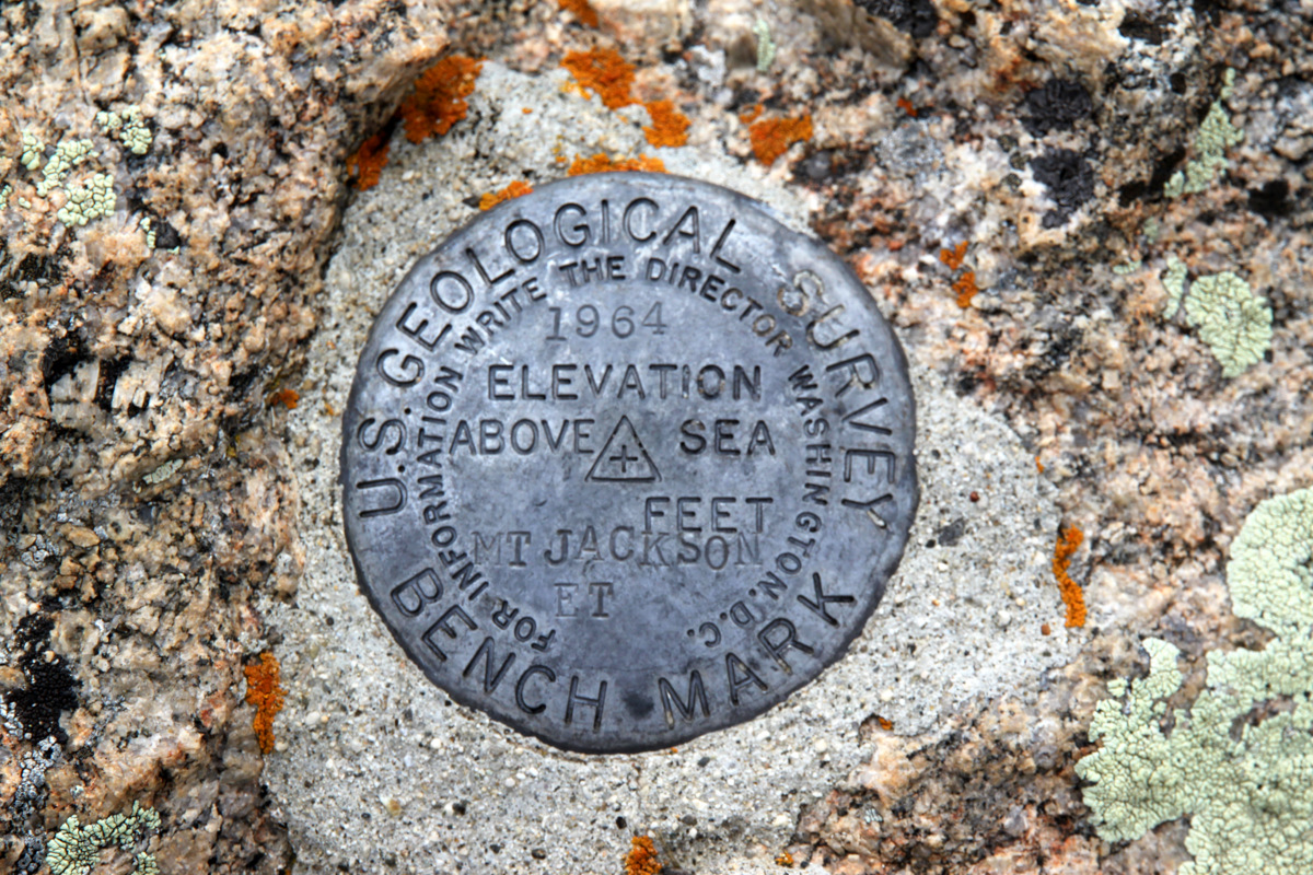
Summit of Palomino Point (13,060′): the western terminus of Asgard Ridge
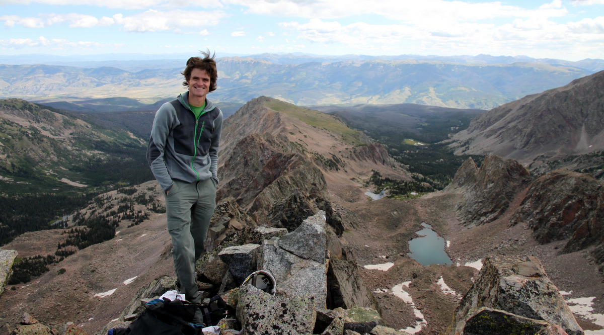
It was an enjoyable summit
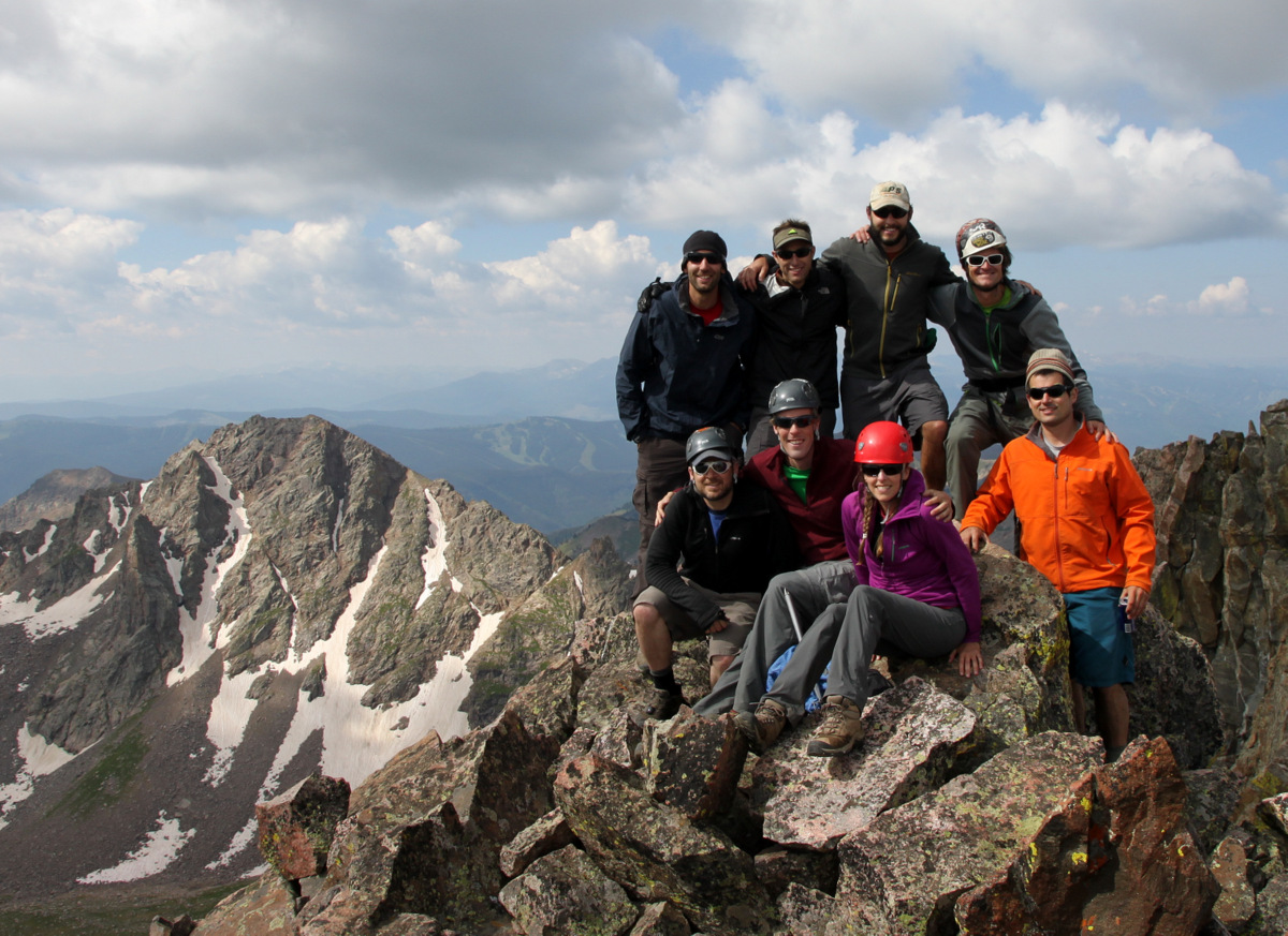
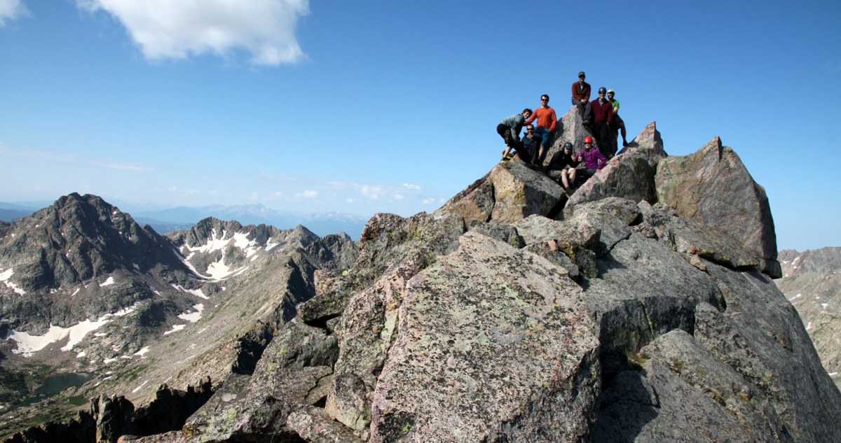
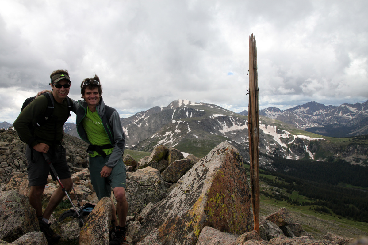
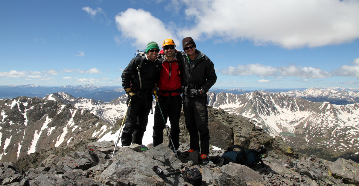
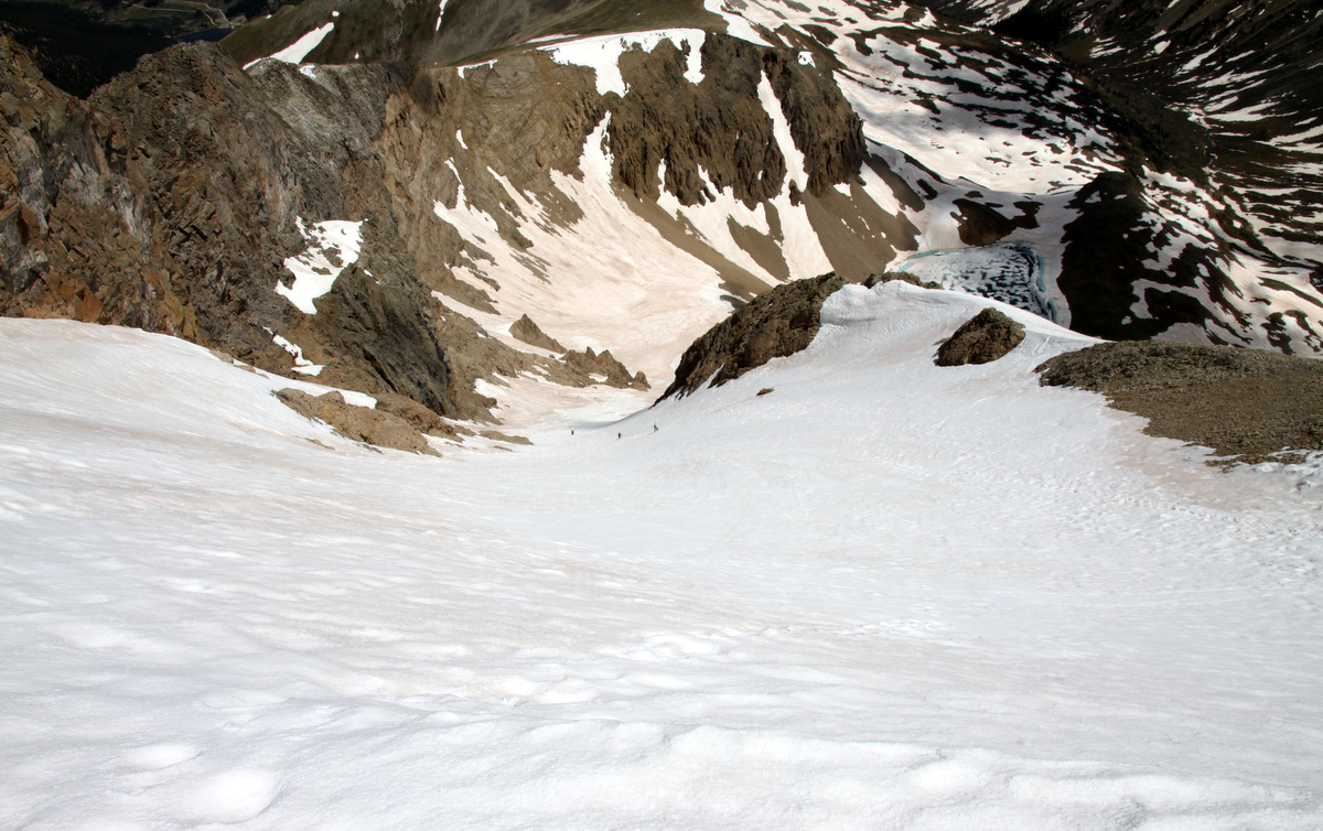
Our good friends Joel Gratz, Lauren Alweis, Andrew Annunzio, Devon Scott, & K9 friend Maude had hiked to Deluge Lake this same day and spotted us from the lake on Palomino Point’s summit. We quickly descended to the notch between Palomino Point & Mt. Valhalla and booked it up Valhalla’s north ridge to enjoy our breakfast burritos (courtesy of Kristine) on Valhalla’s summit around 11:15am.
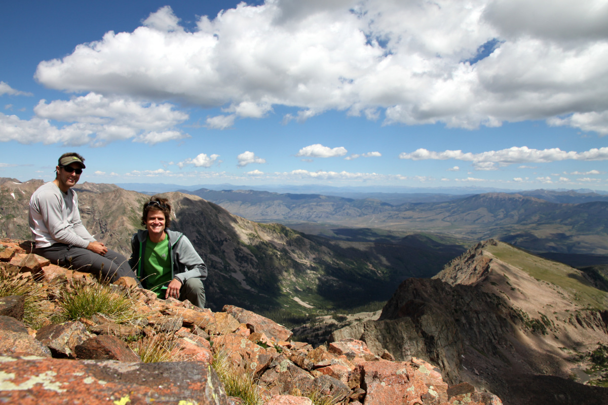
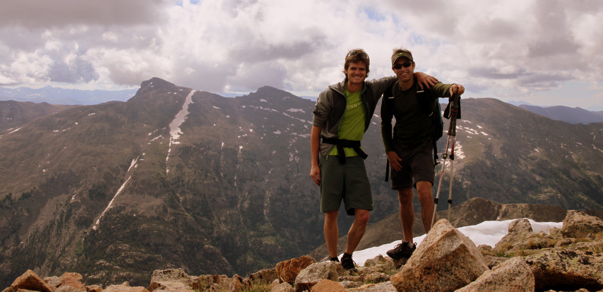
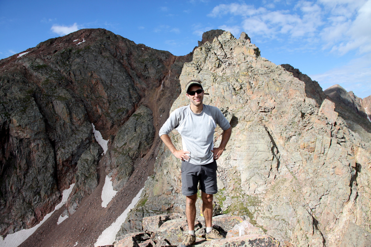
Summit of Mt. Valhalla (13,180′)
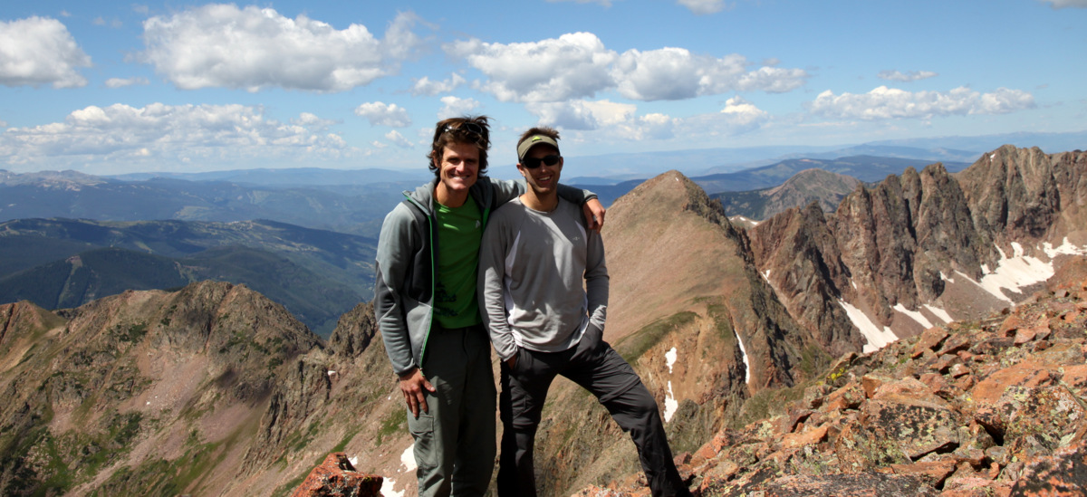
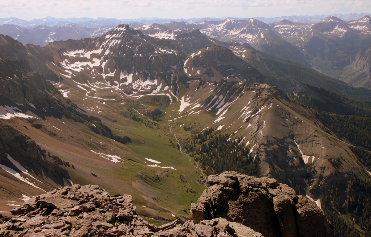
A beauty of a day with Grand Traverse Peak and The Grand Traverse behind us
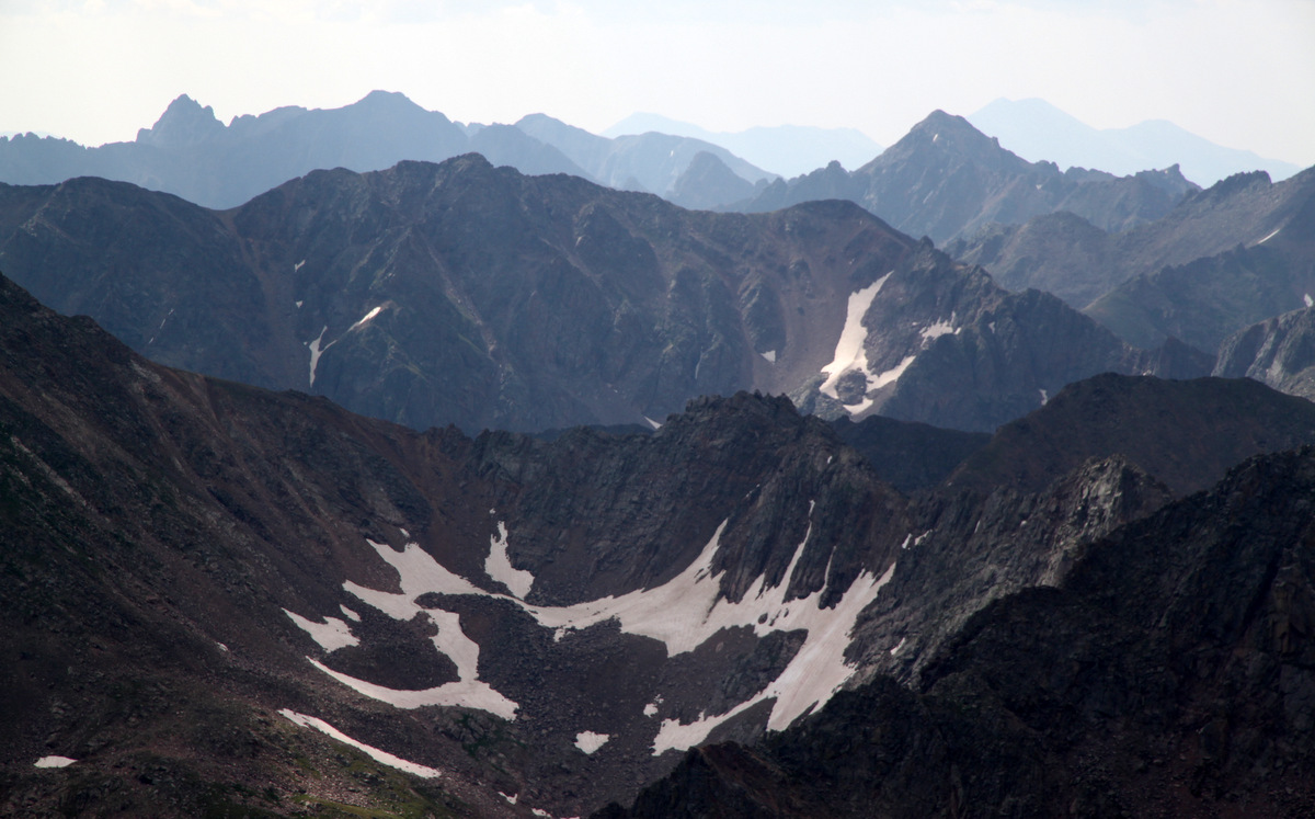
Looking north to where we were just last weekend – the Upper Slate Lake Basin peaks
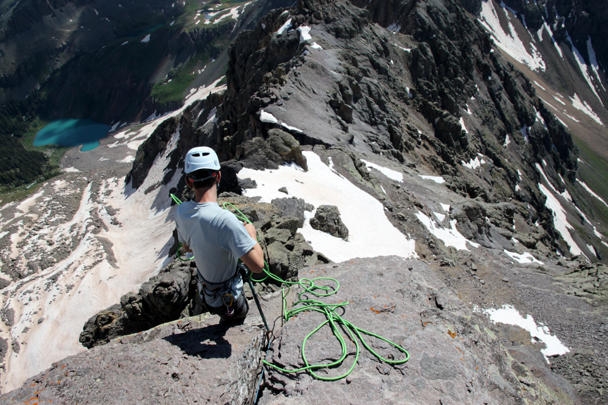
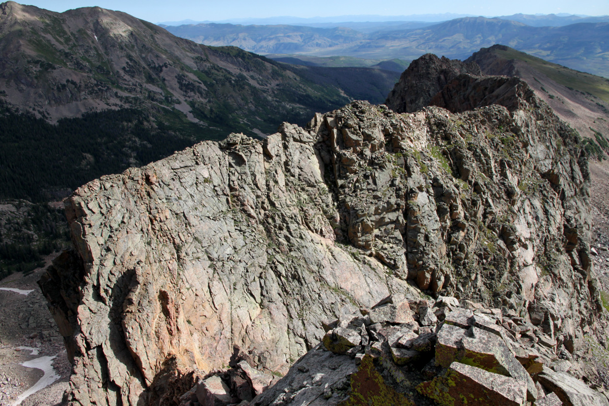
Asgard Ridge from the summit of Mt. Valhalla (13,180′)
Another one
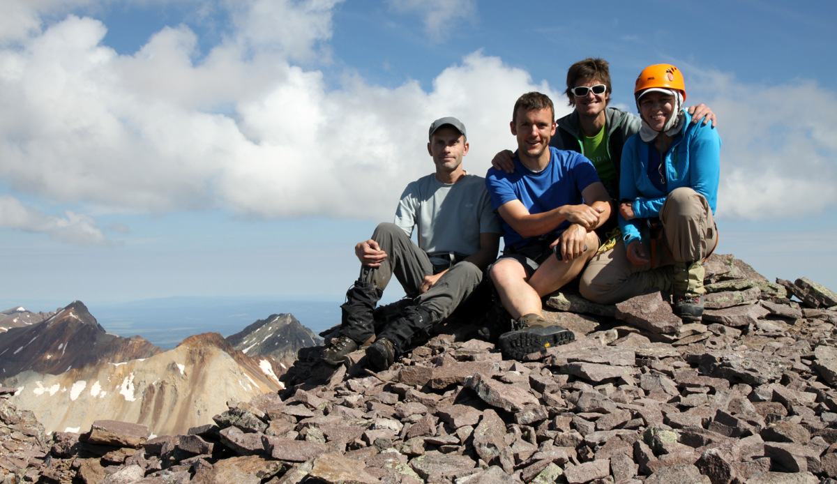
Many familiar faces including myself 🙂
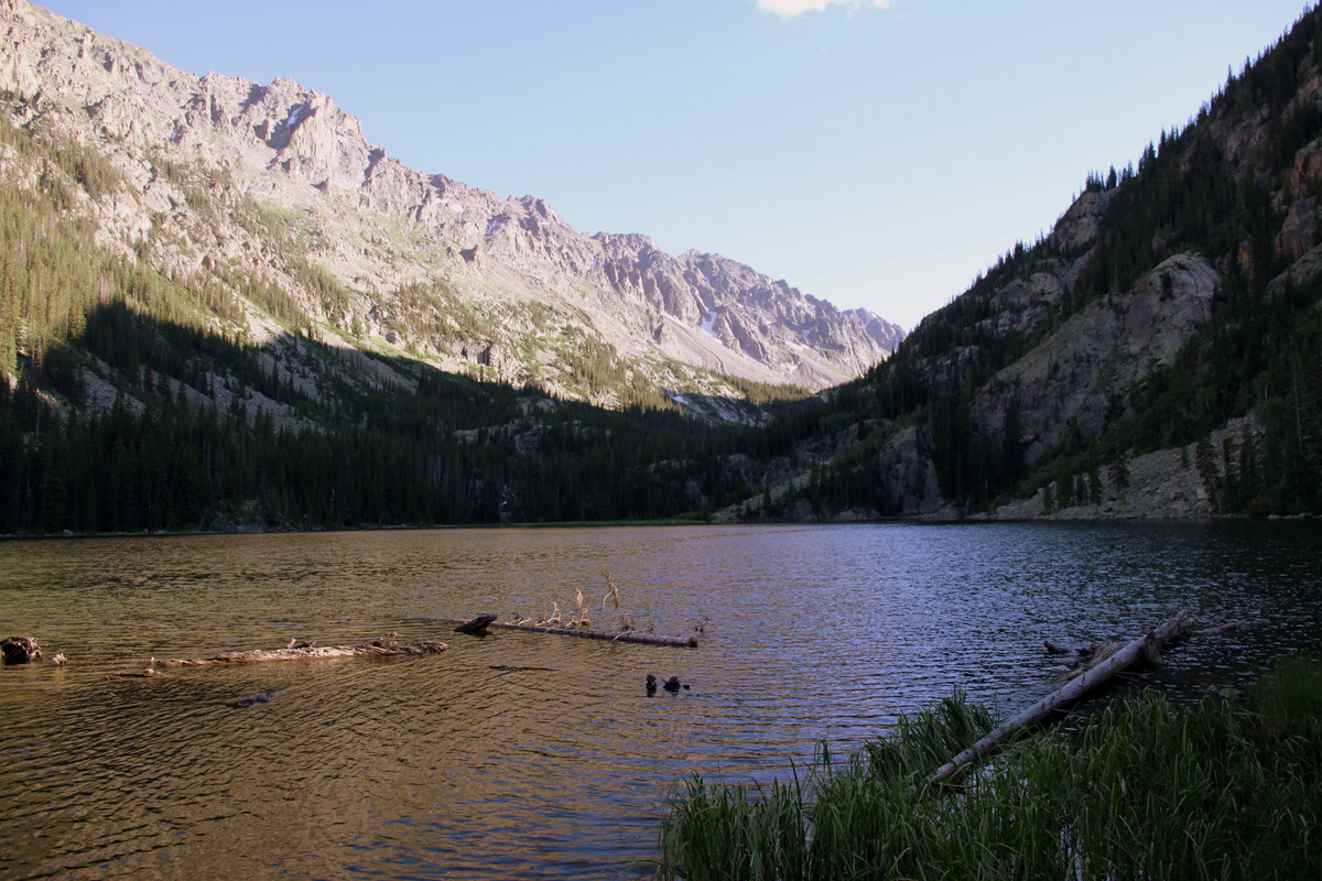
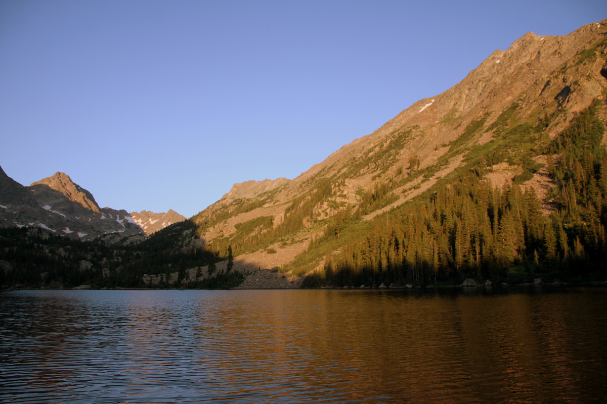
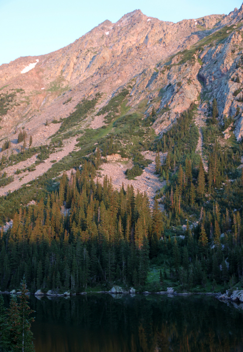
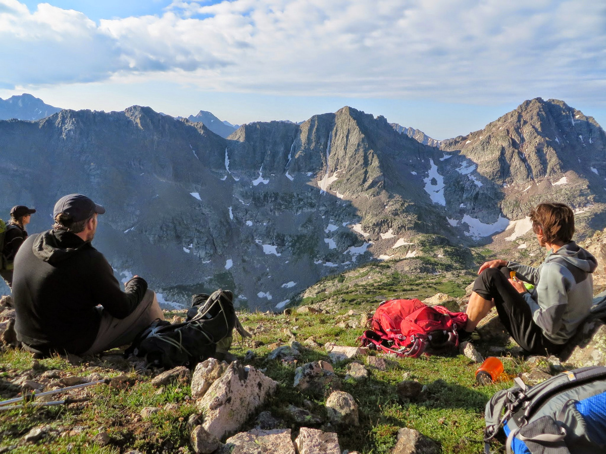
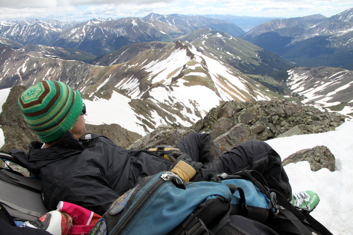
We lounged up top for a good 25 minutes and soon descended down Valhalla”s standard slopes back to Deluge Lake to meet up with Joel and crew. We arrived at Deluge Lake around 12:30pm and ate, drank, and relaxed with good friends for an hour at least. I just love Deluge Lake. The best lake on the west side of the Gores, in my opinion. It seems high enough in the alpine tundra where you don’t have the overgrown marshy plants & bugs that seem to go hand-in-hand with Pitkin Lake, Booth Lake, etc. Deluge Lake just seems cleaner and more pristine to me.

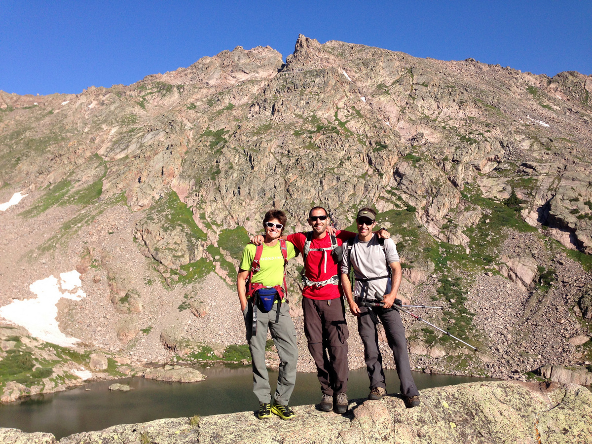
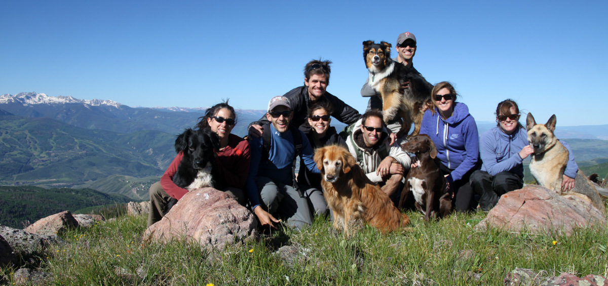
Our crew at Deluge Lake (11,700′). Grand Traverse Peak at top left in picture
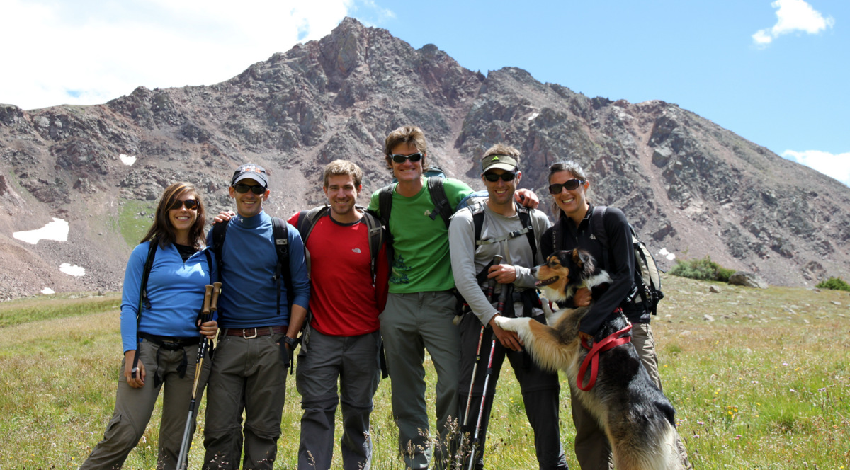
Great friends & great surroundings. Snow Peak behind us
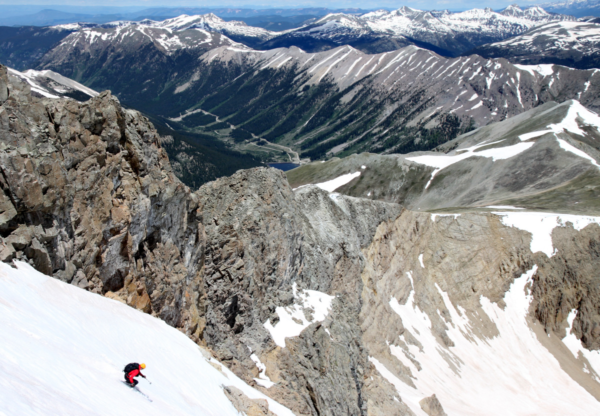
We then took off down the well-groomed Deluge Lake trail trading stories and having a good ole time with those guys finally arriving back at the Deluge Lake/Gore Creek TH around 4pm. Our route is outlined below:
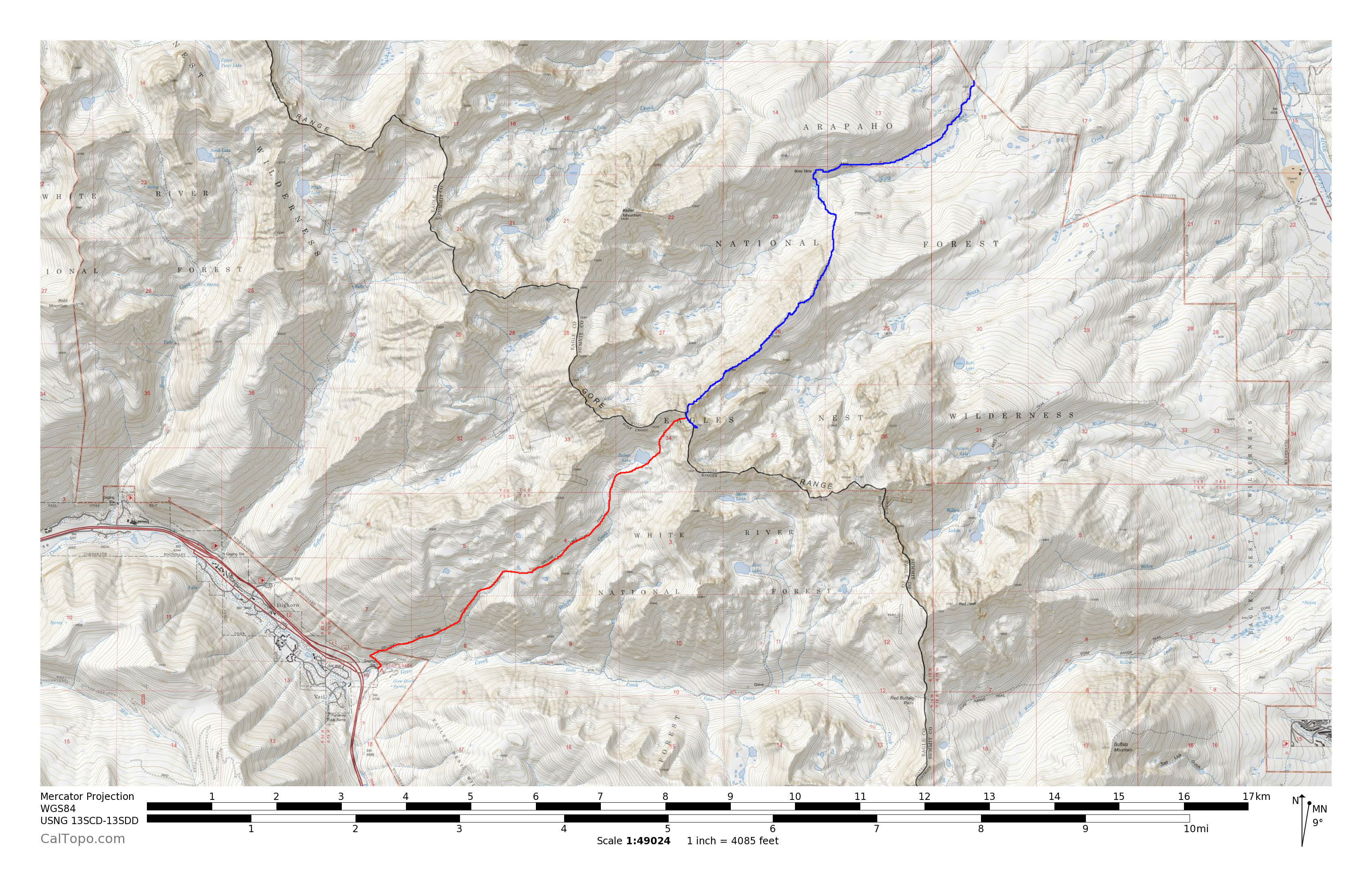
Blue is our ascent from the North Rock Creek TH up Asgard Ridge and red is our descent to East Vail
This was a very fun and enjoyable traverse of the Gore range in the latitudinal direction. We got to climb the amazing Asgard Ridge and descend the mellow west side of Mt. Valhalla. Asgard was everything I hoped it would be – long, exciting, fun, quality-scrambling, knife-edge ridges, towers, exposure, and big air. I love it all. Asgard seemed to be a mix of the Little Bear-Blanca Ridge with some of the gnarlier Gore traverses such as Zodiac Ridge, Ripsaw, and the crux sections of the Partners Traverse. Even though we never broke out our gear for any climbing or rappelling on Asgard, that’s not to say some may prefer the comfort of a rope on certain sections. Its always good insurance to have the gear and not need it rather than need it and not have it. Stan & Joe certainly knew how to pick the good lines and adventures back in 1997 (and continue to do so) and it is truly an honor to follow in their footsteps.
 Follow