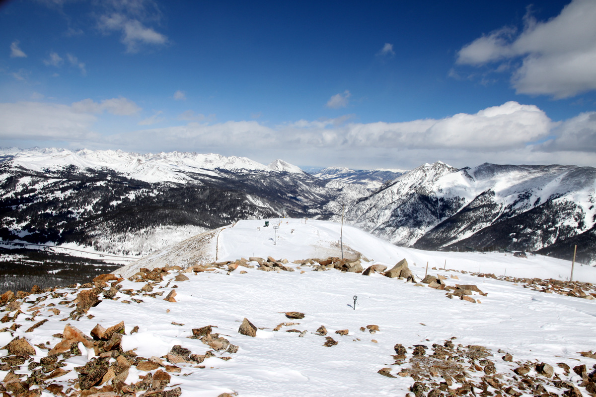
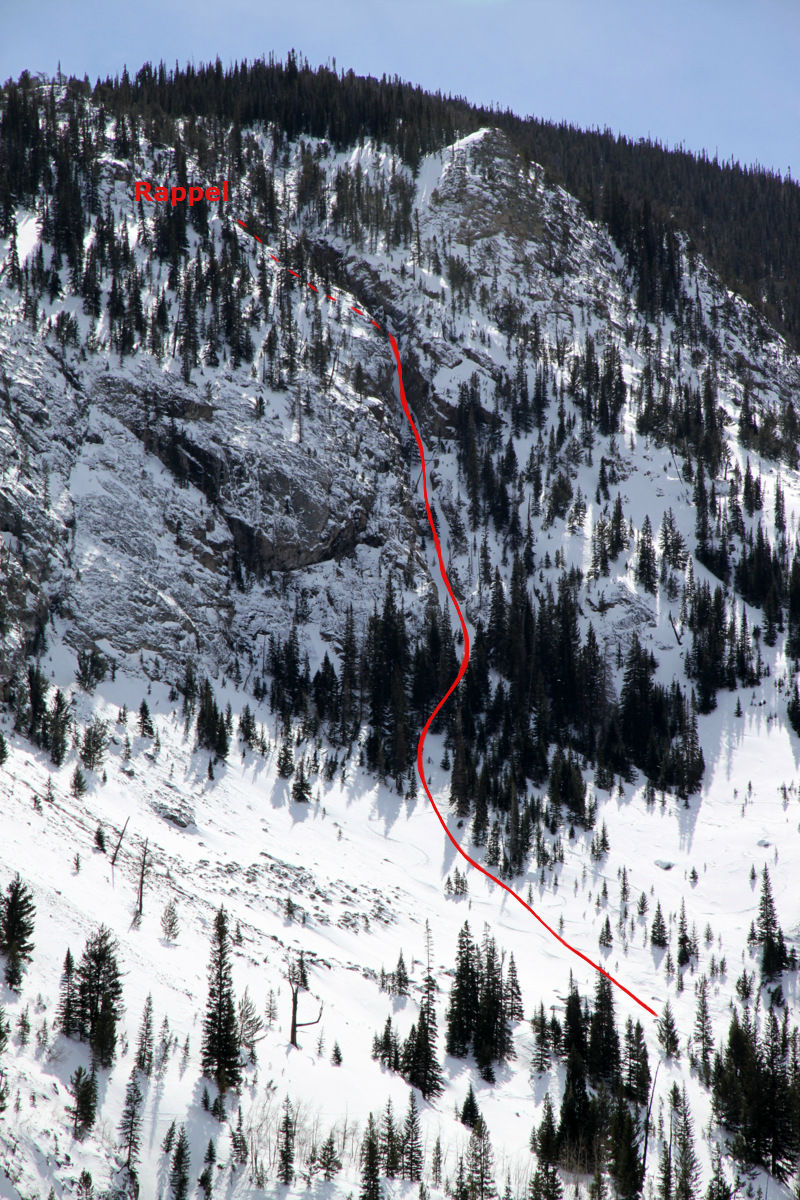
The Coin Slot & Bald Mountain
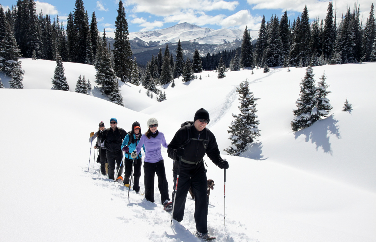
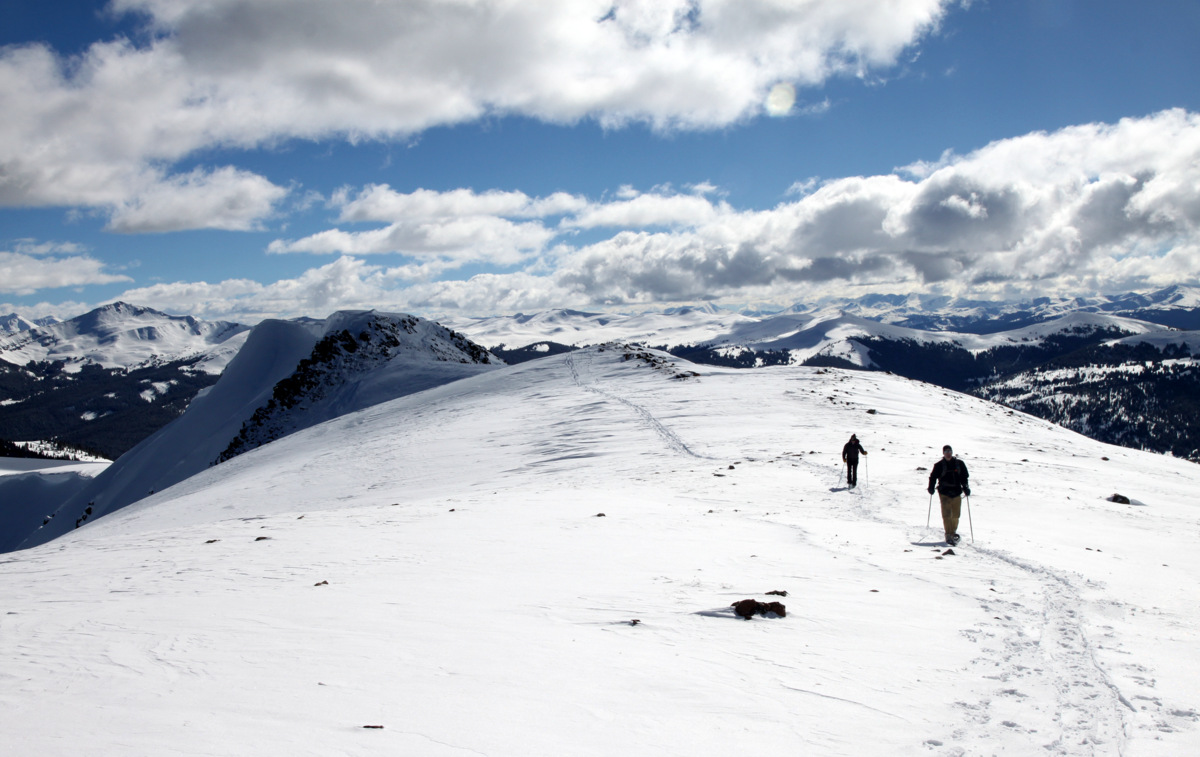
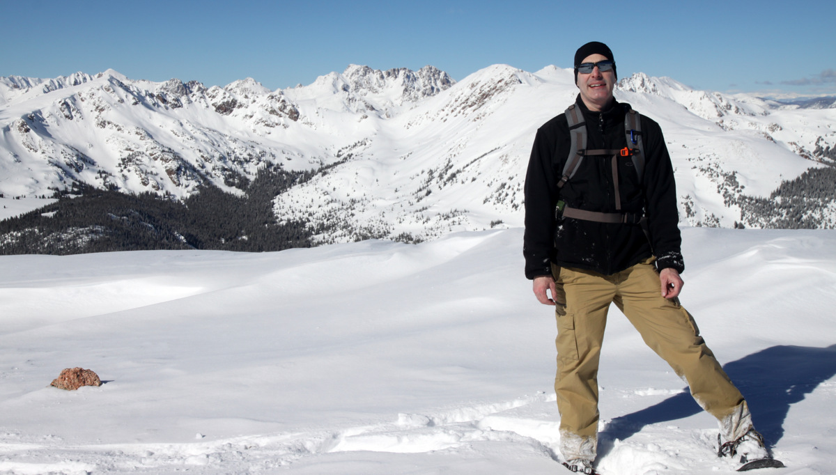
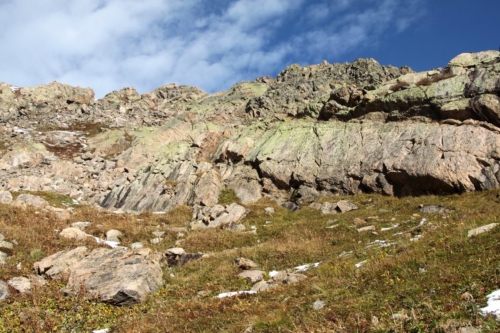
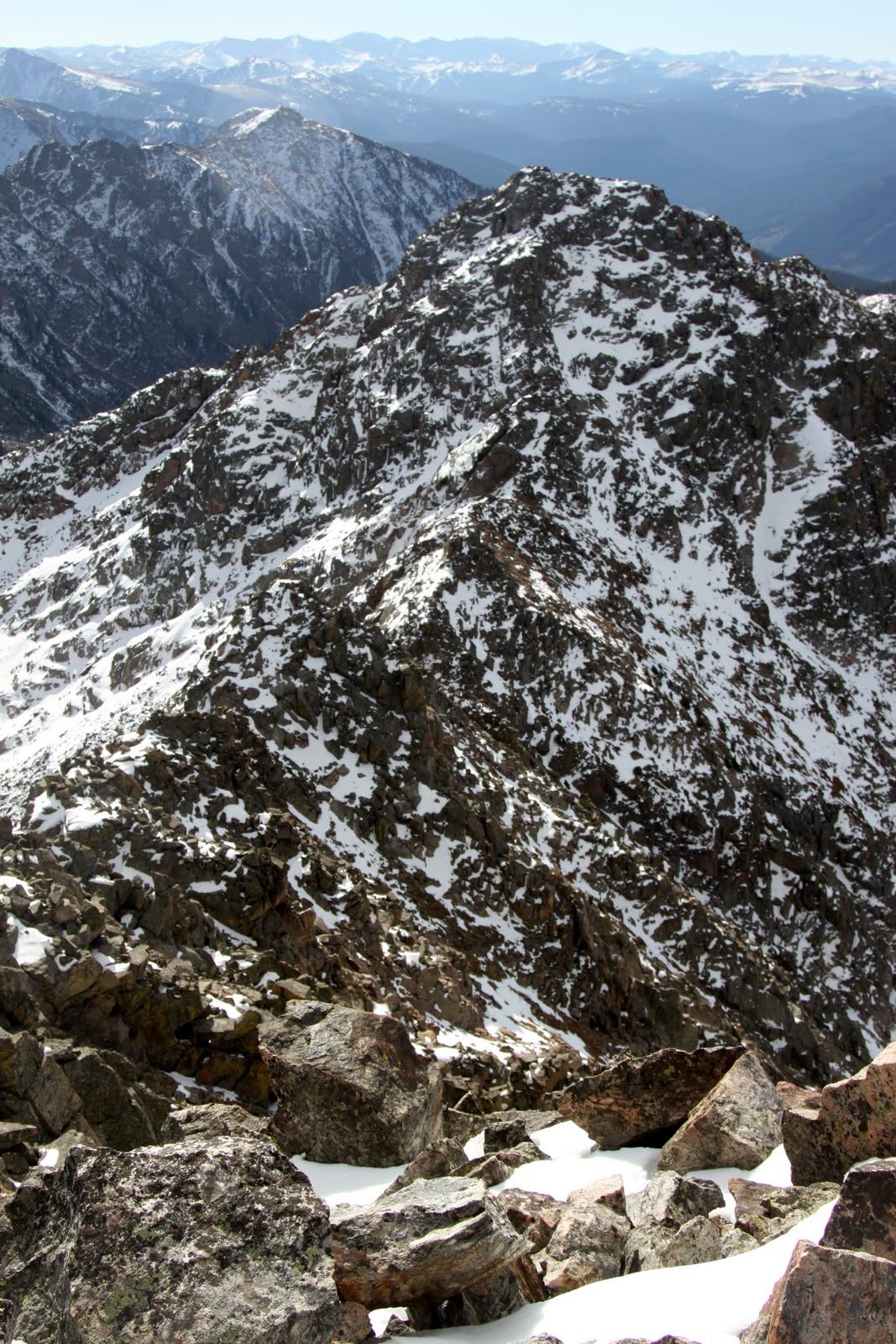
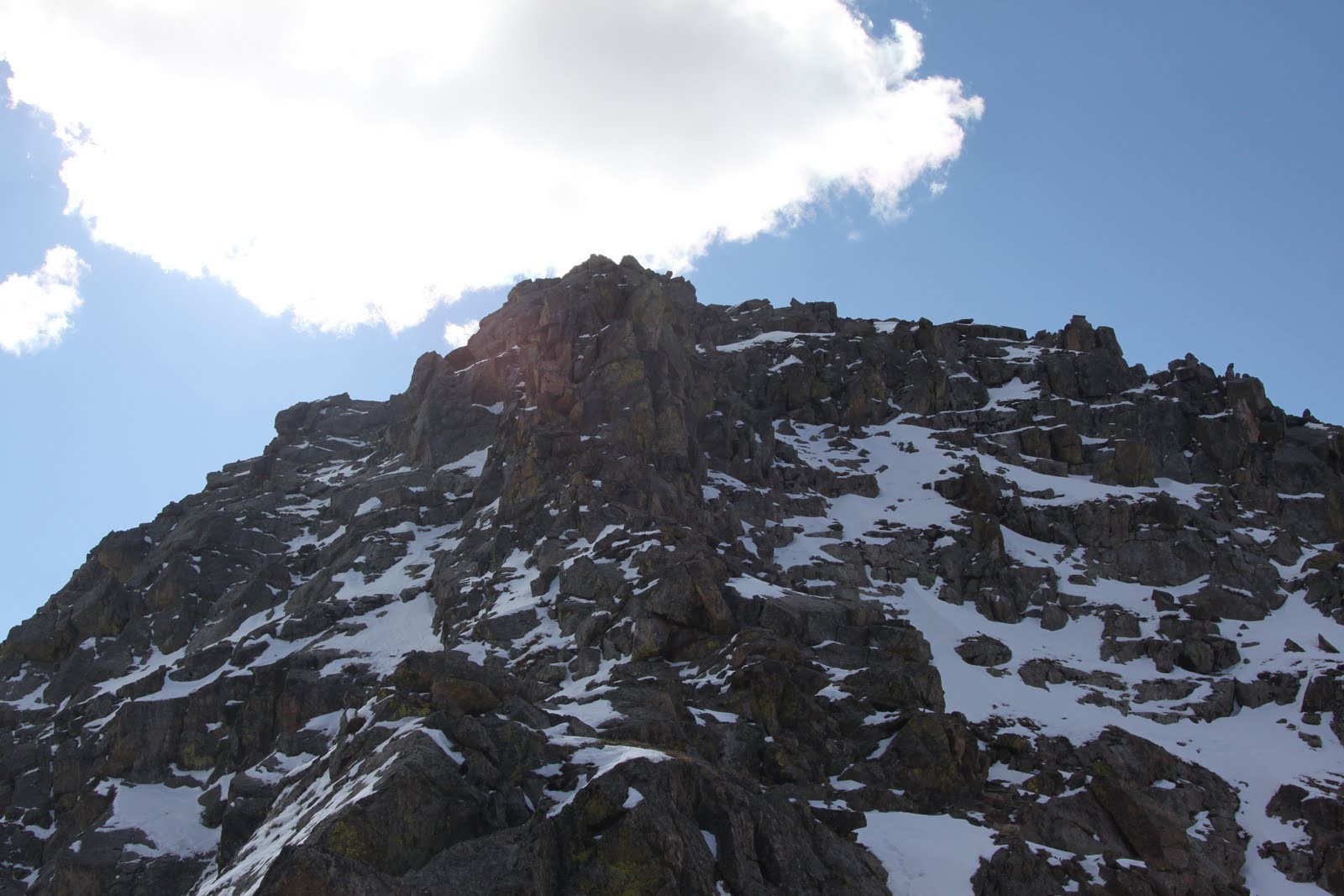
The weather forecast this past Saturday was for snow showers and cruddy weather in general which would make any higher alpine pursuit above treeline fairly unpleasant. J and I attended our friends Ben Conners & Brian Miller’s new book presentation in Edwards on Friday night. Their new book, Climbing and Skiing Colorado’s Mountains: 50 Select Ski Descents, is a wonderful addition to any ski mountaineer’s collection of books and knowledge. These two very accomplished ski-mountaineers put forth a lot of effort with this book and it really showed. Its a spectacular book ranging from beginner ski descents like Quandary’s east face to the extreme such as North Maroon Peak’s north face. Plus, Brian gives his expert recommendations on where to eat after each climb and ski descent, which is just about as important as the adventure itself. The next morning Ben, Brian, J, myself, and Rick Thompson all met at the Mt. Royal trailhead in Frisco at 8am to give this nifty little ski line dubbed The Coin Slot a solid attempt. This ski line is at or below treeline in order to avoid any harsher weather and wind on this day and is also north facing so it should hold better snow being not nearly sun-affected as other aspects. The Coin Slot just simply sounds like a fun adventure down the steep north side of Mt. Royal to looker’s right of the 1,500′ rock climb called The Royal Flush, which we have climbed a few times. Additionally, there is a 50 ft rappel into the 45 degree chute, so what’s not to like?!
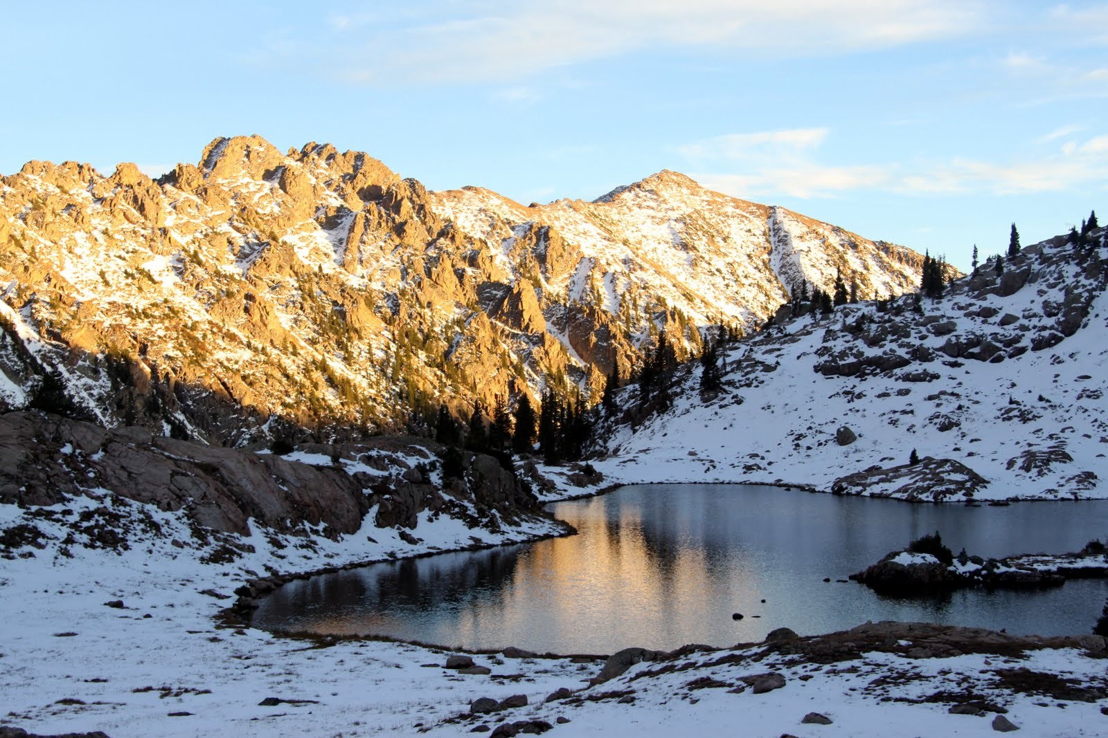
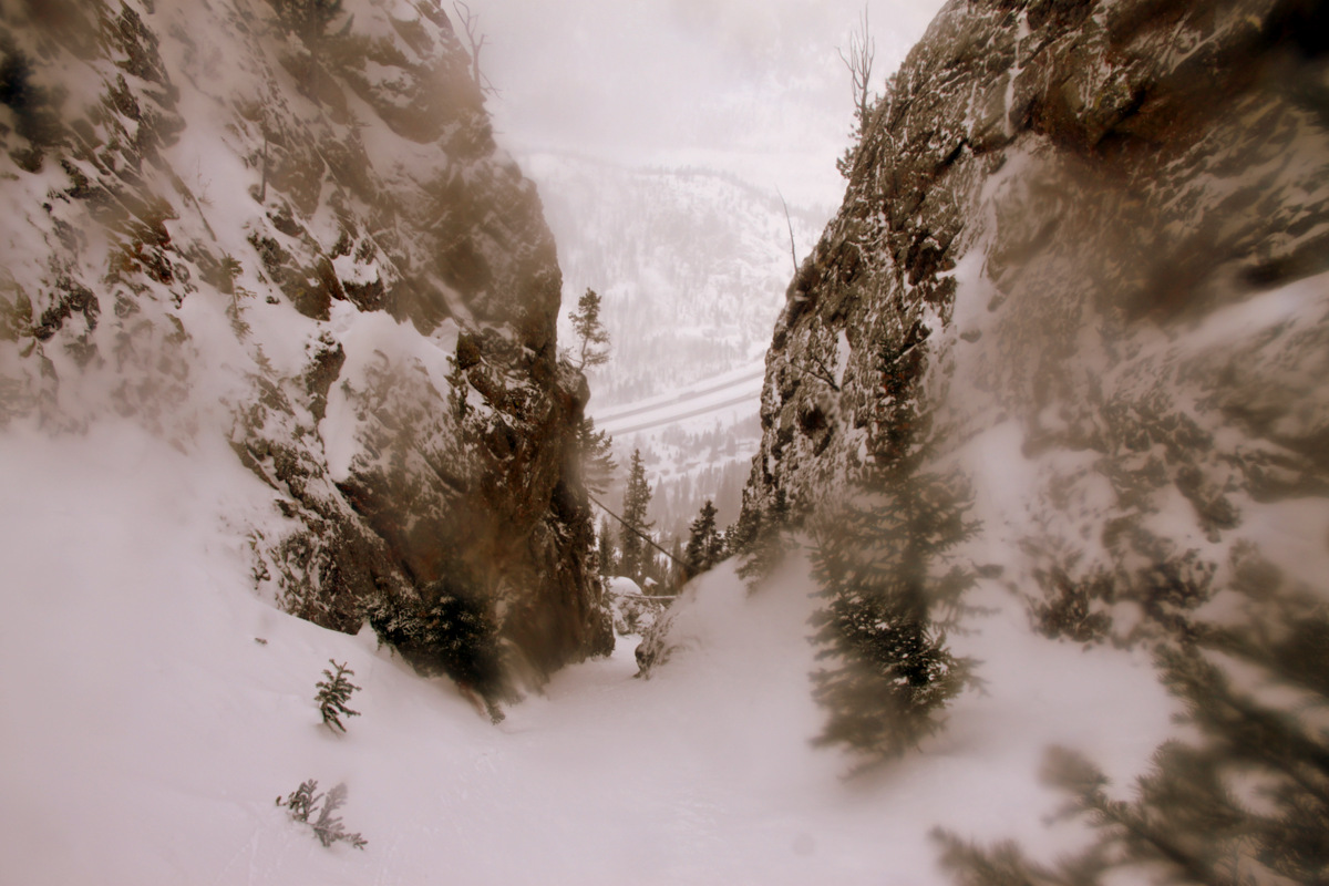
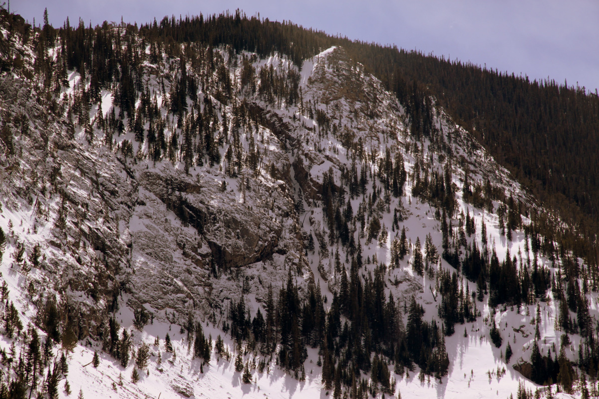
The Coin Slot as viewed from I-70
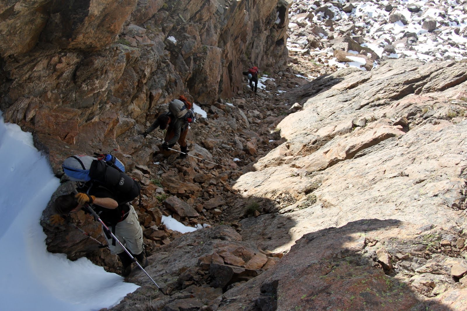
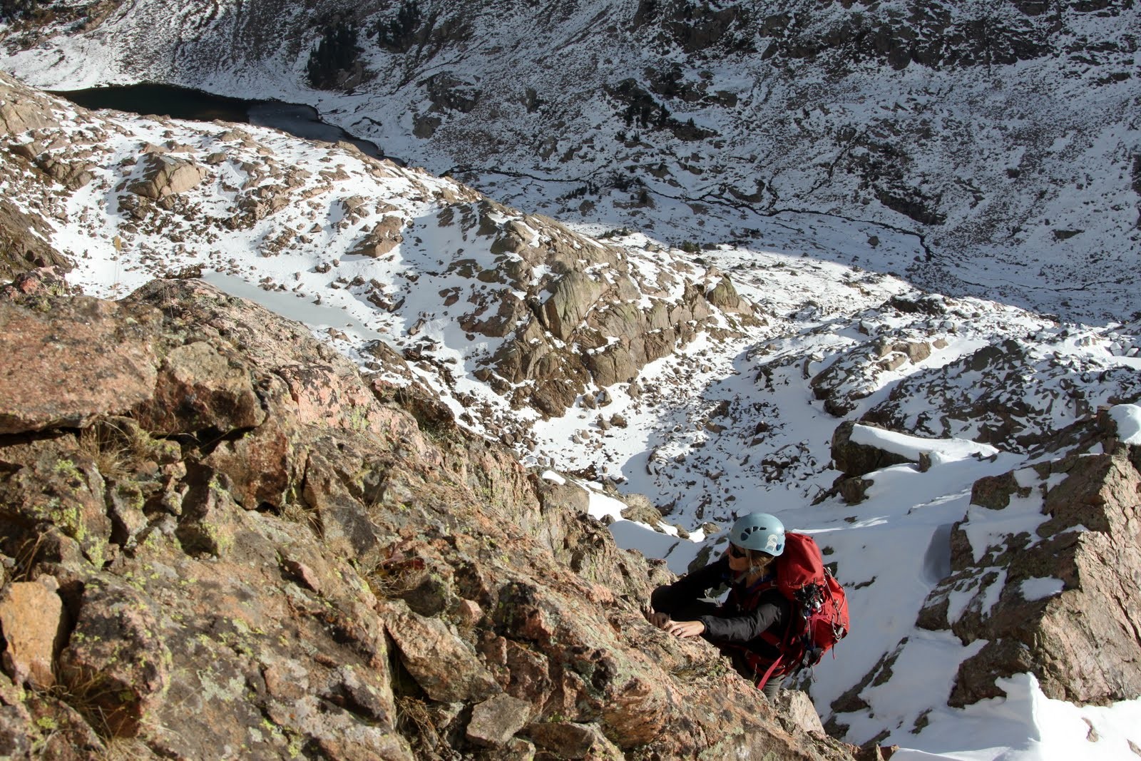
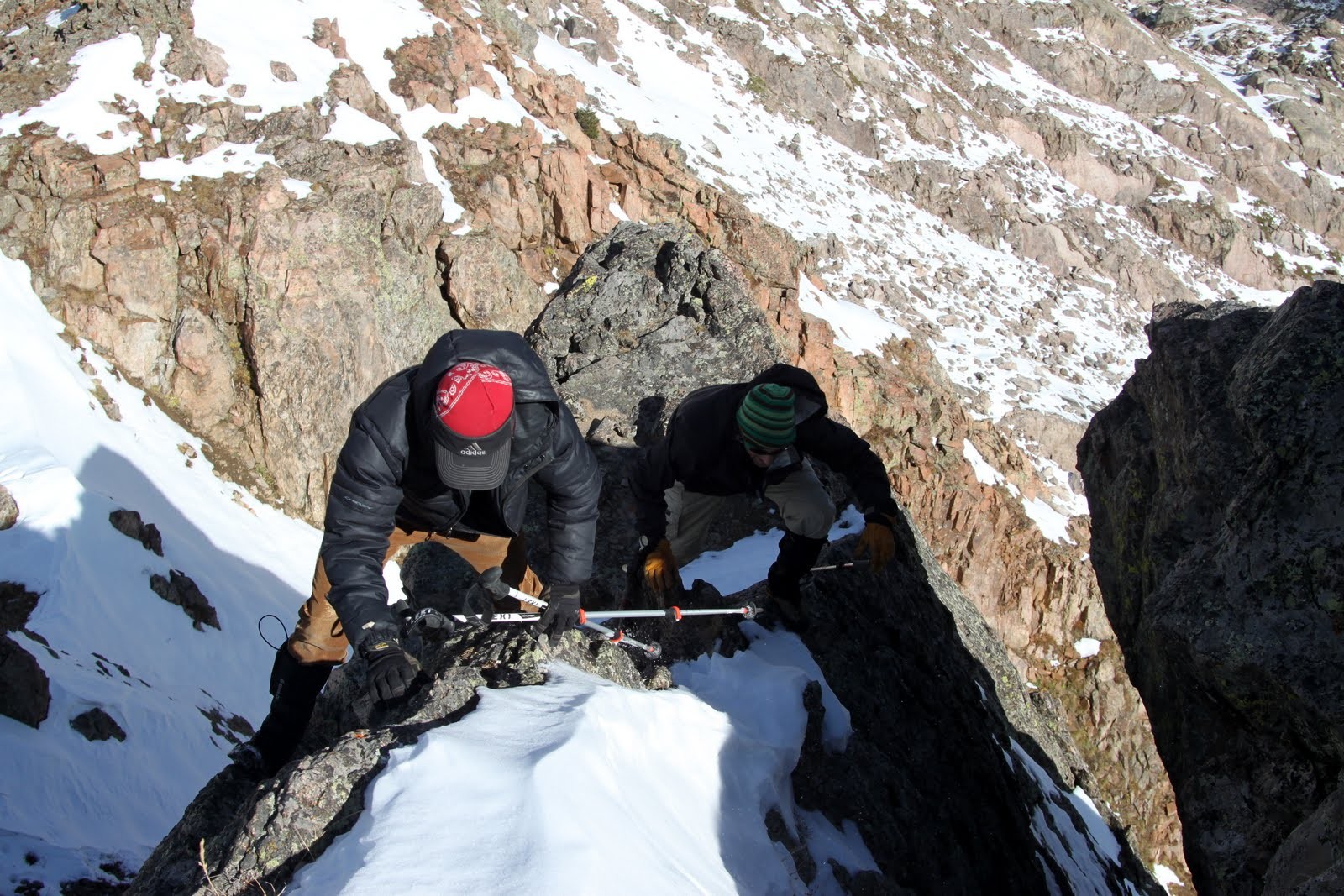
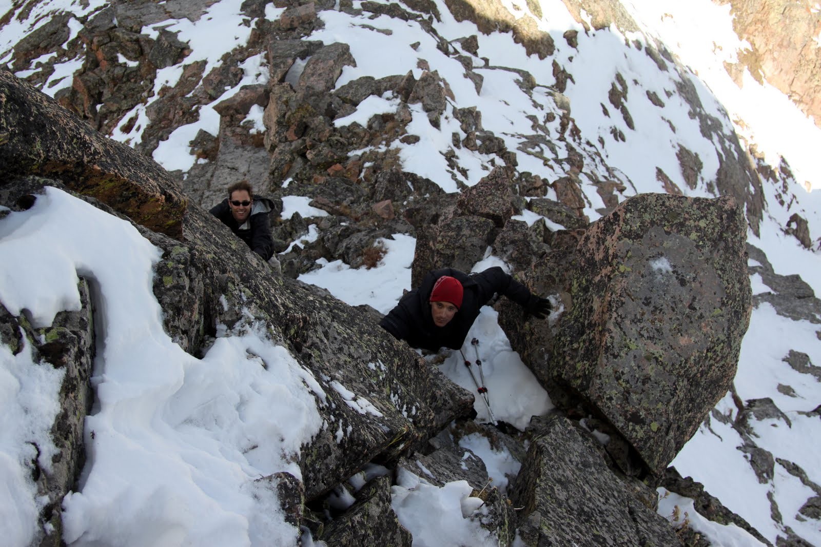
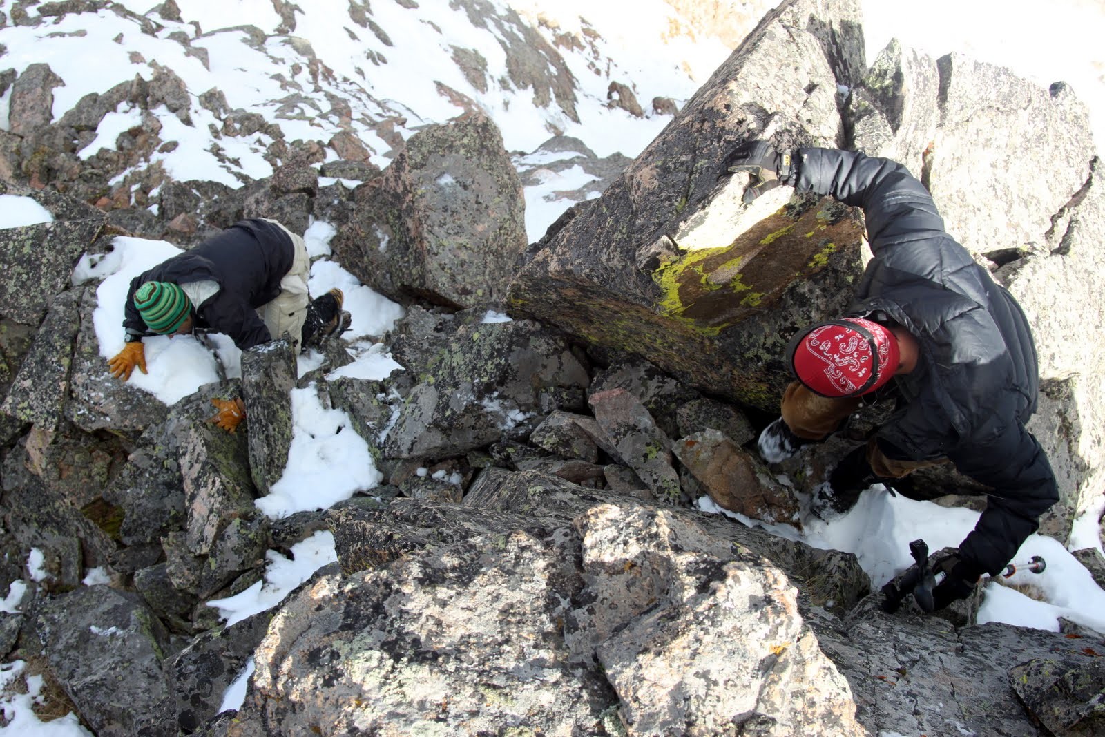
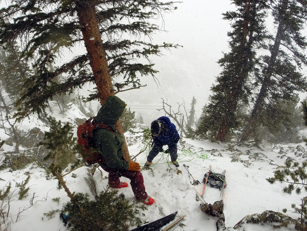
We met Ben & Brian’s friend Elliot Halverson, a very knowledgeable and accomplished ski-mountaineer, who skinned up the Mt. Royal trail with us and showed us where to go for The Coin Slot. Elliot’s crew then went on to ski a supposed new line down Mt. Royal’s north face. The 1,500′ skin went by pretty fast and once we hit the ridge the wind and weather was pretty intense. We quickly donned harnesses and put the skis on the packs and descended steep and loose slopes for a few hundred feet to the rappel point. We unpacked my two 8mm/30m ropes, hitched them together, and slung it through the webbing and rap anchors already in place around the tree.
Me setting up the rappel. Photo by Ben
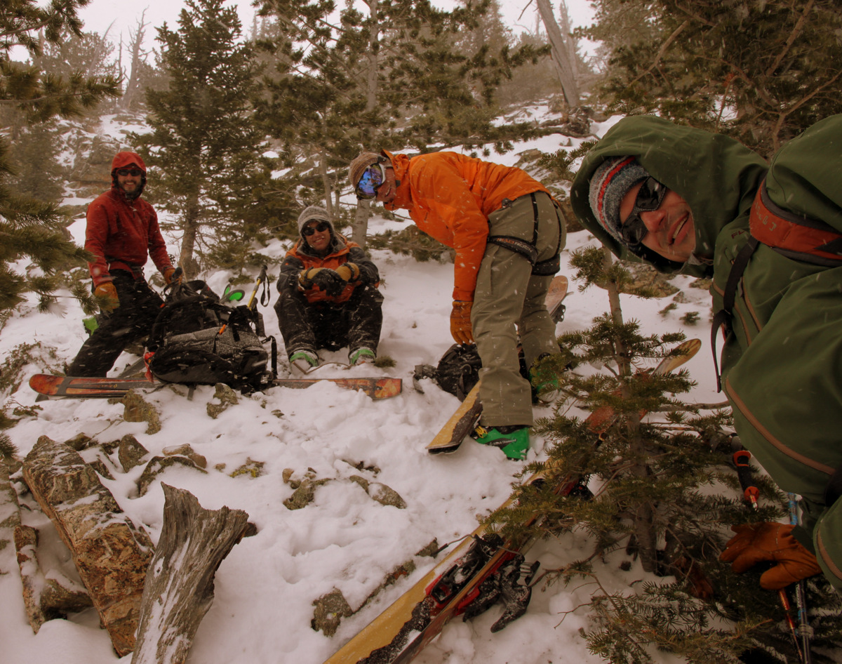
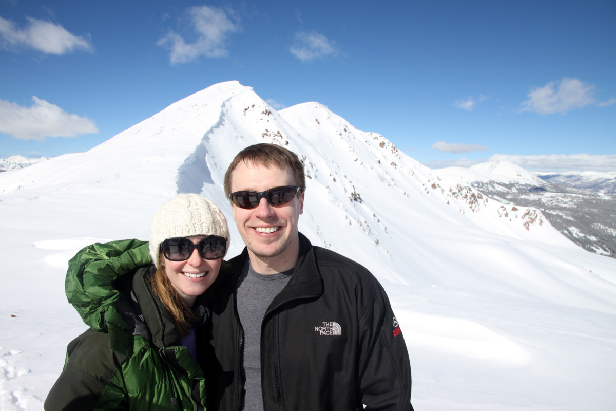
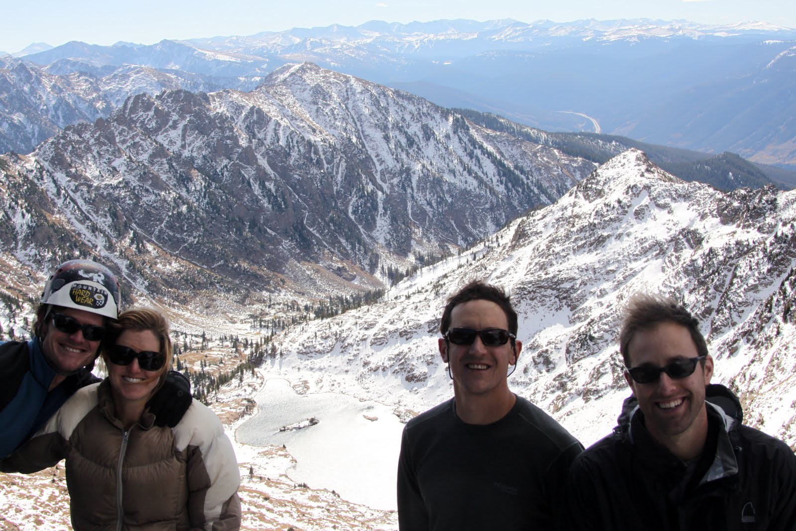
Left to right at the rappel point: Rick, J, Ben, & Brian
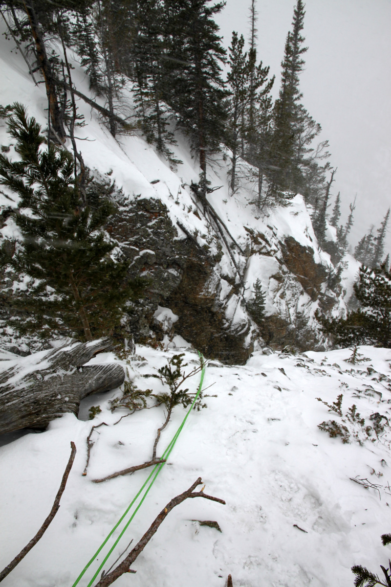
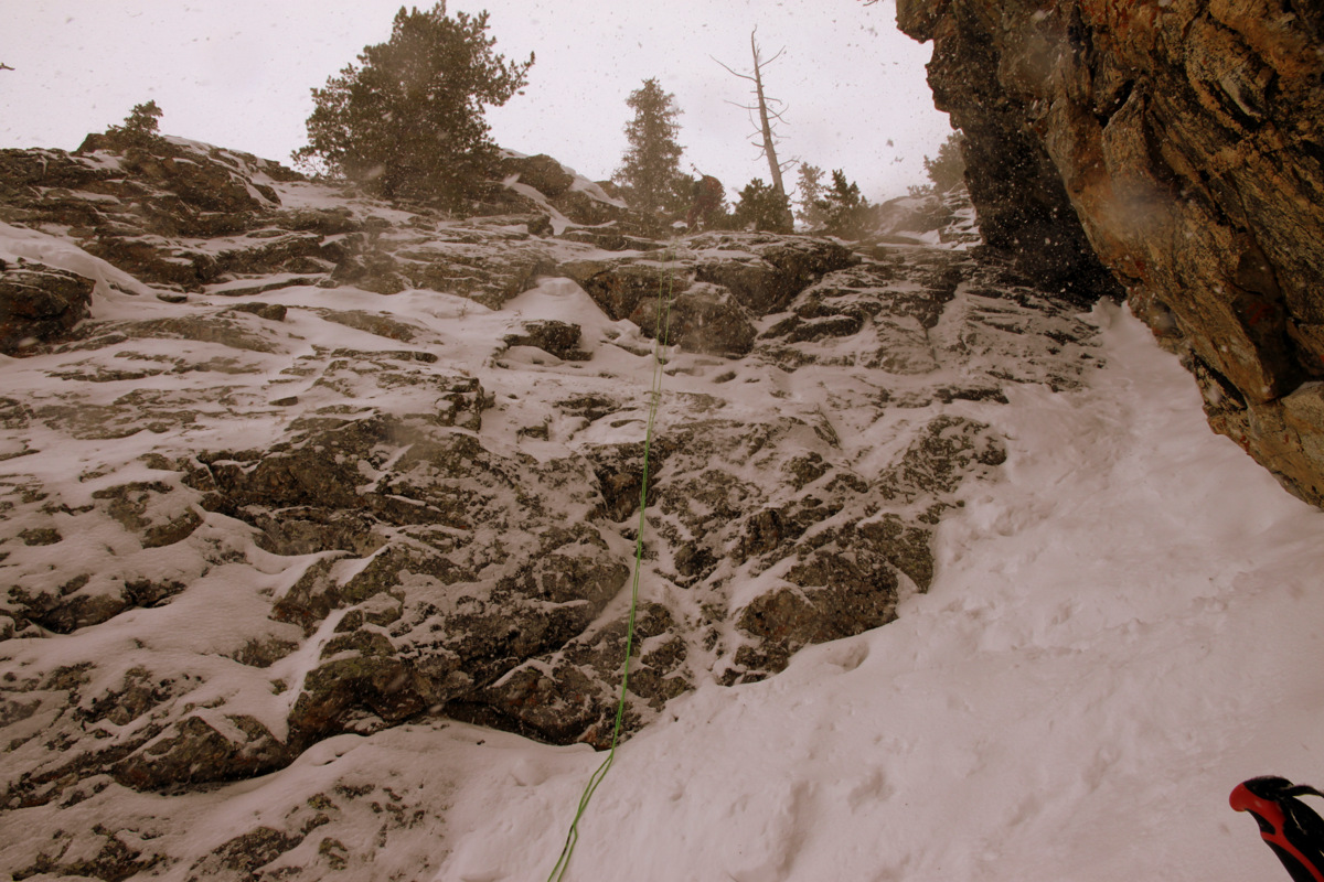
Looking down the rappel
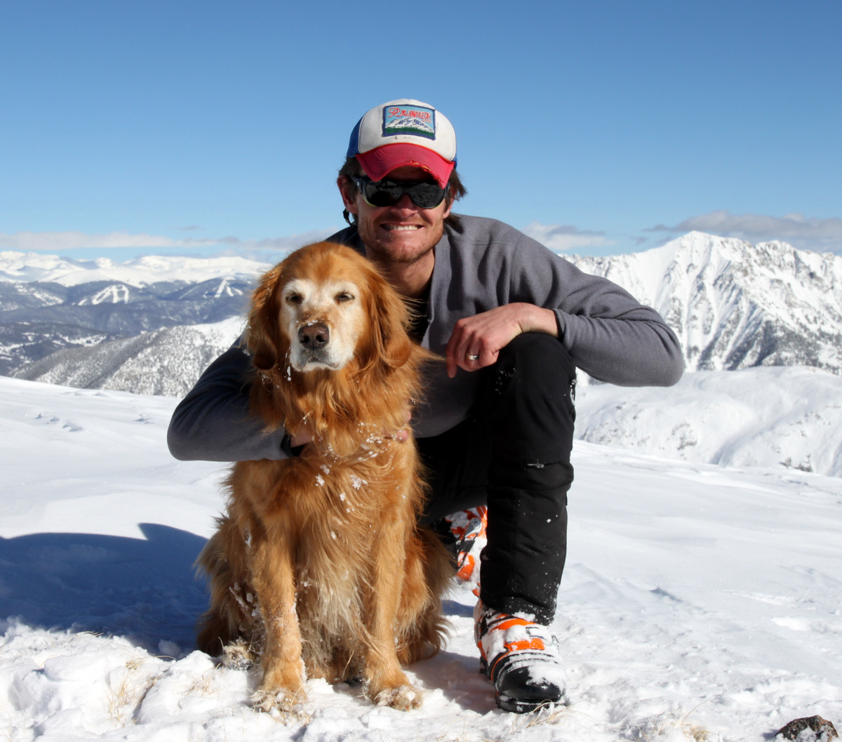
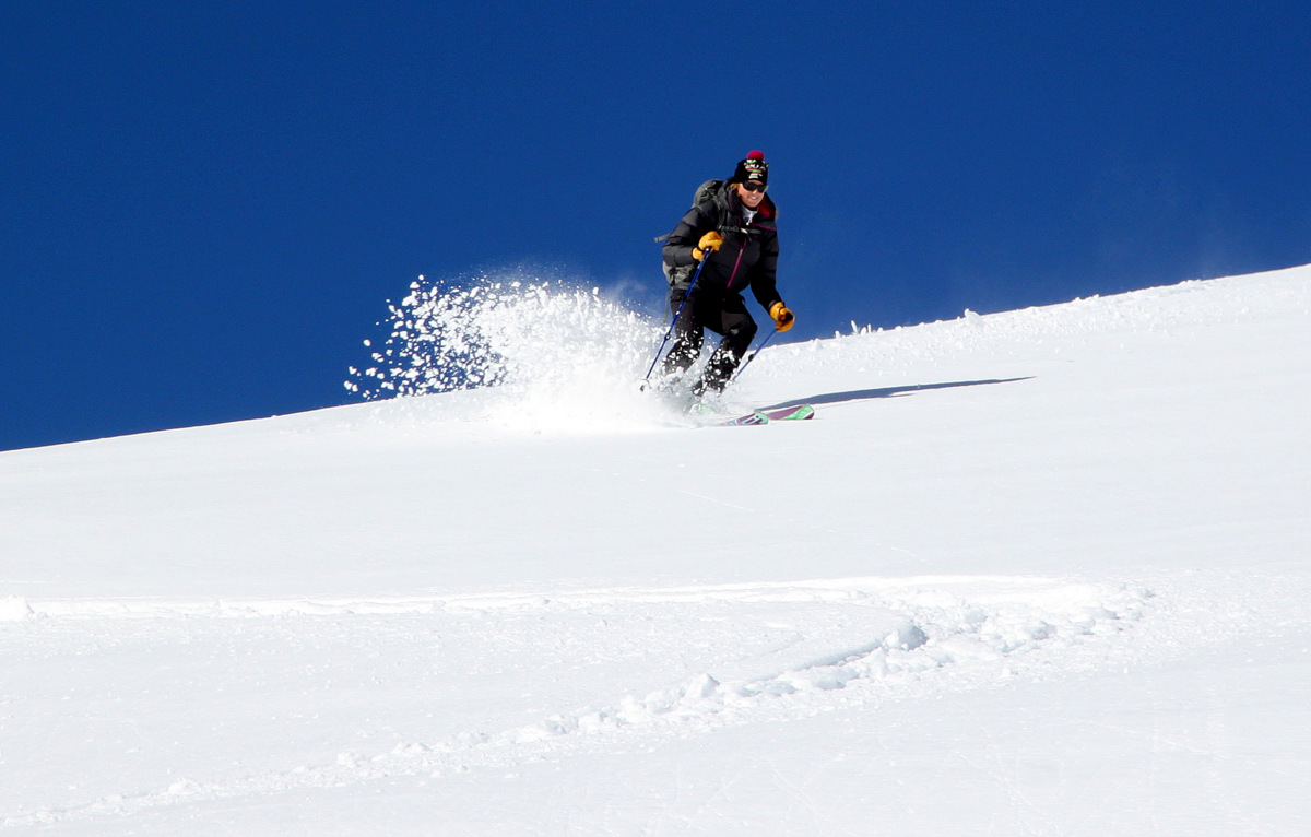
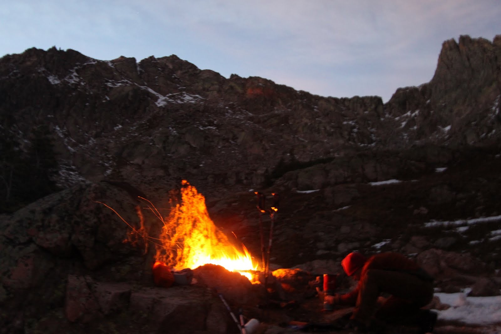
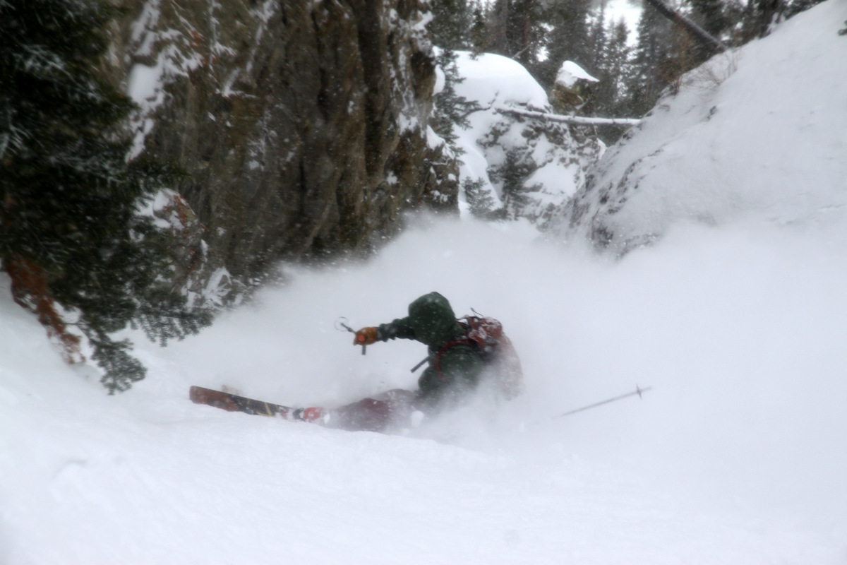
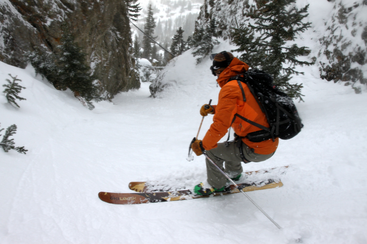
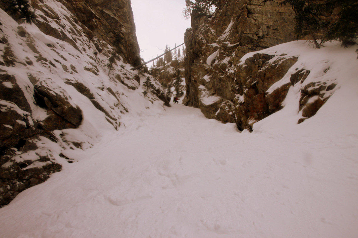
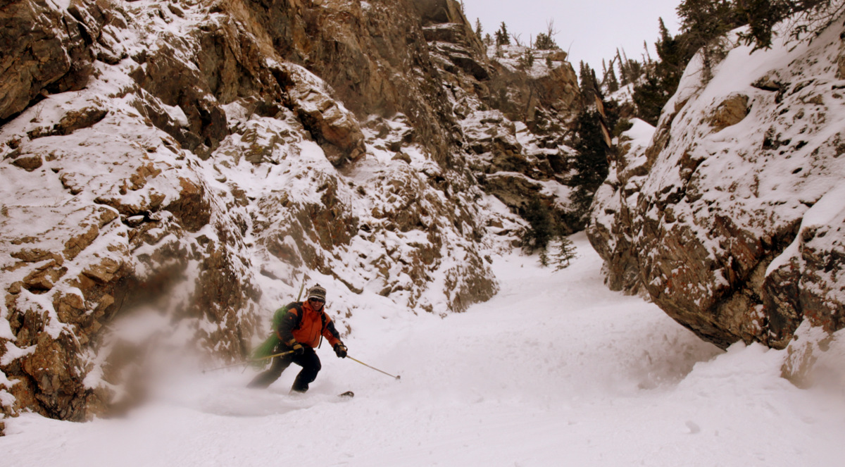
The boys then insisted I go first (probably because we all knew I would be last on the ski down since I am a telemarker and the fact that J, Rick, Ben, and Brian can just plain rip on skis). I made the rappel into the steep chute and set up myself to get my skis on my feet, probably the hardest task for me this day. The boys came down after me (Brian rappelling with his skis on his feet, which was interesting yet efficient) and we all proceeded to ski the steep chute one at a time. J said it was the tightest chute he has ever skied. I would bet so considering at its choke its probably only 6-7 ft wide. Let’s just say I wasn’t making telemark turns in this narrow chute. Anyway, it was a really fun adventure down a steep, narrow line on the north face of Mt. Royal. Enjoy the pics:
Brian on rappel with his skis on his feet
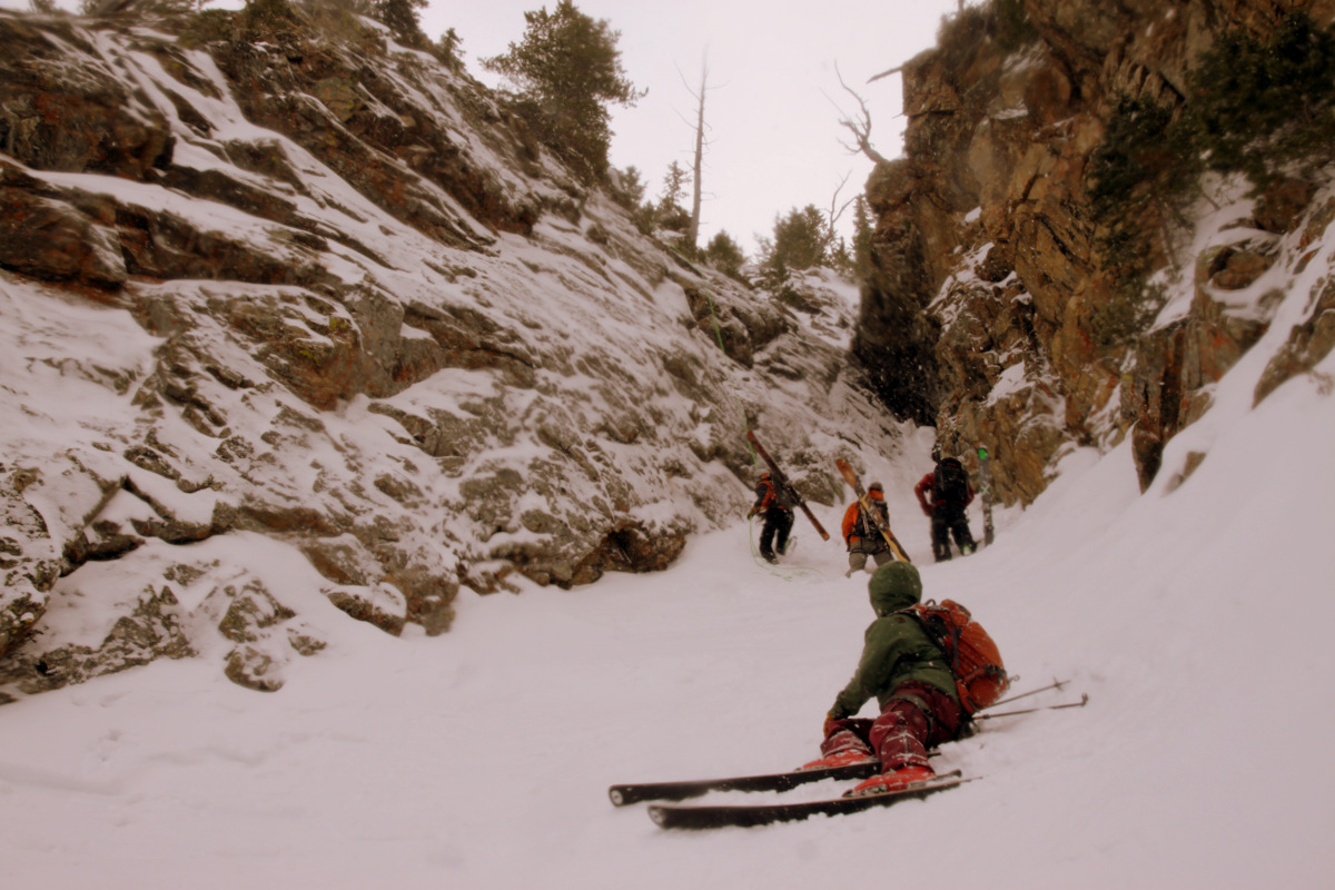
Everyone in the chute now
Looking down The Coin Slot to I-70

Ben (left) and J (right)

Left to right: J, me, & Rick. Photo by Ben
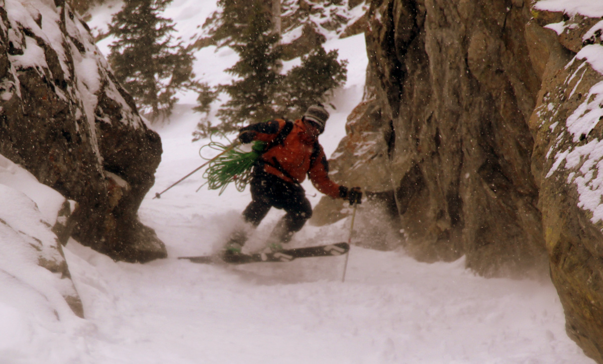
Brian slashing and spraying his way down the narrow chute
Ben’s turn
Ben’s point of view down the narrowest portion. Photo by Ben
J coming down
J doing his jump turns down the narrowest portion of the chute
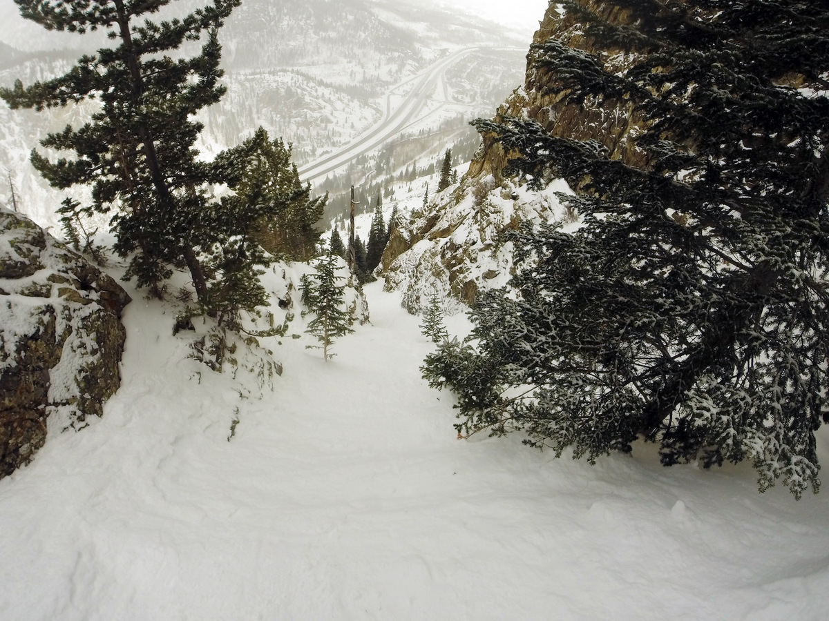
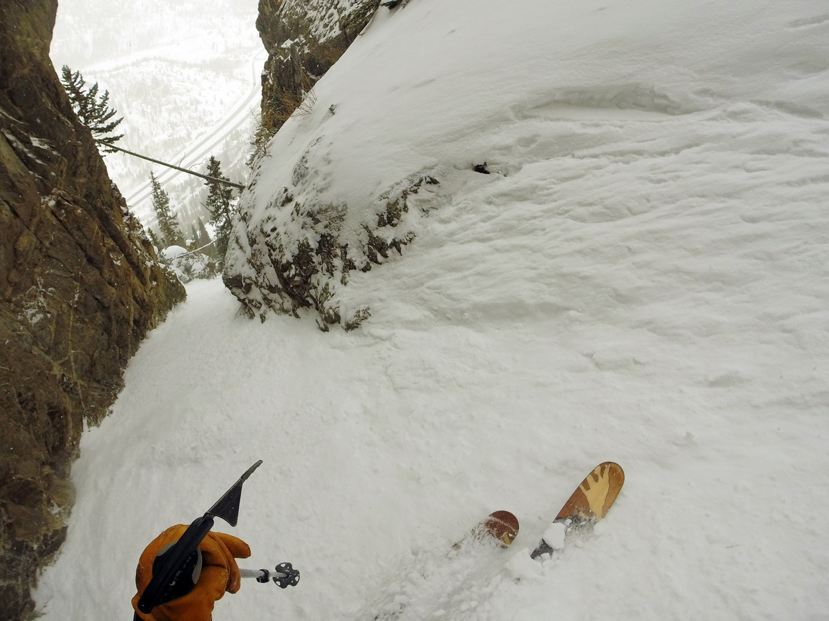
The remaining portion of the steep chute after the very narrow section. Photo by Ben
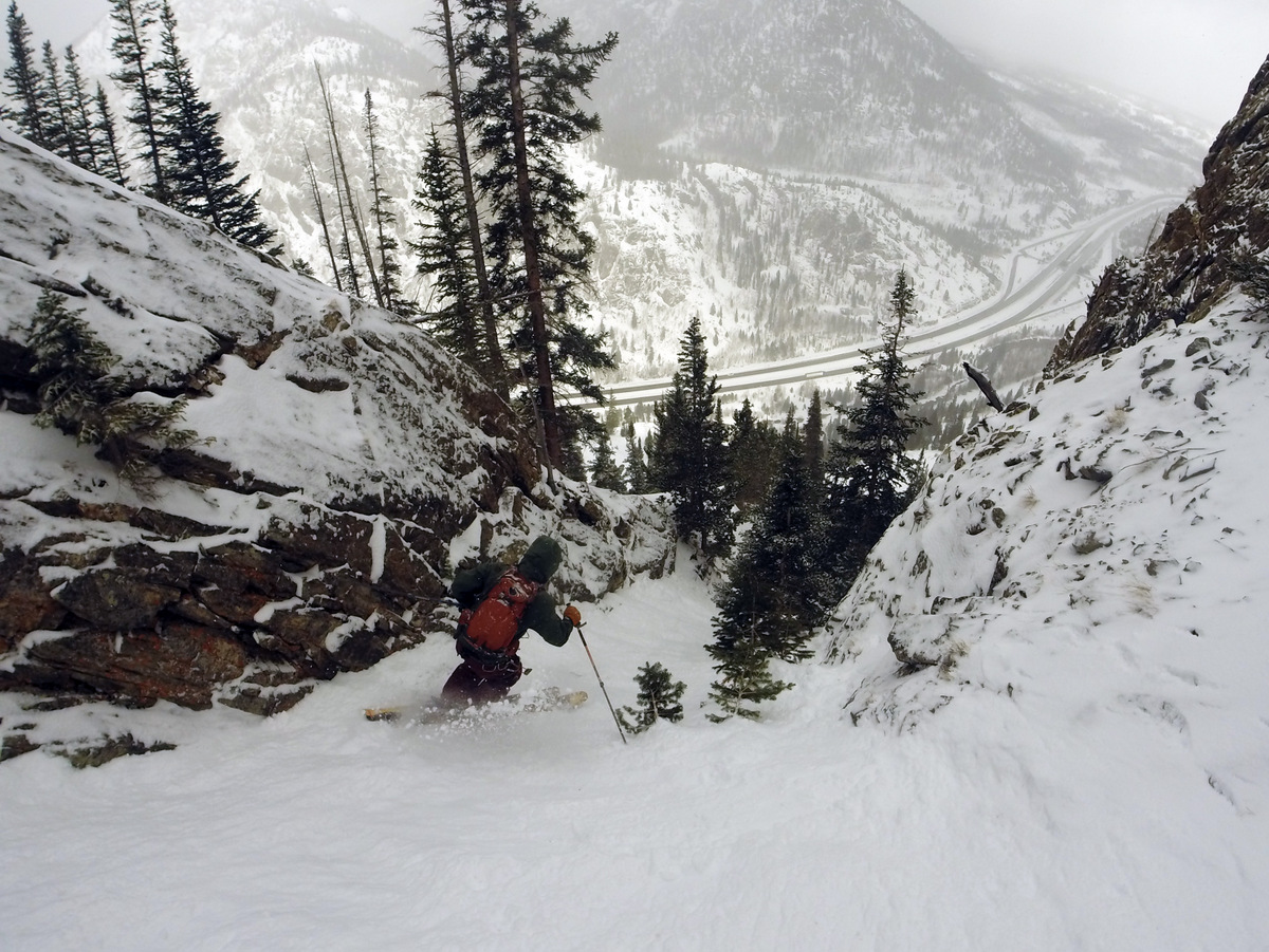
Brian on the descent. Photo by Ben
J on the lower section
I was actually really looking forward to skiing the much more open and lower-angled apron, but the conditions were so variable (breakable crust to powder) that it was survival skiing at its worst. We all regrouped at the cars and were going to take another lap down the J-Chute or something similar but the southeast facing snow conditions below treeline were atrocious in that I would rather just hike down than take skis back up. So, we called it a day and went into Frisco and ate lunch at Lost Cajun as recommended in Ben & Brian’s new guidebook. Yum.
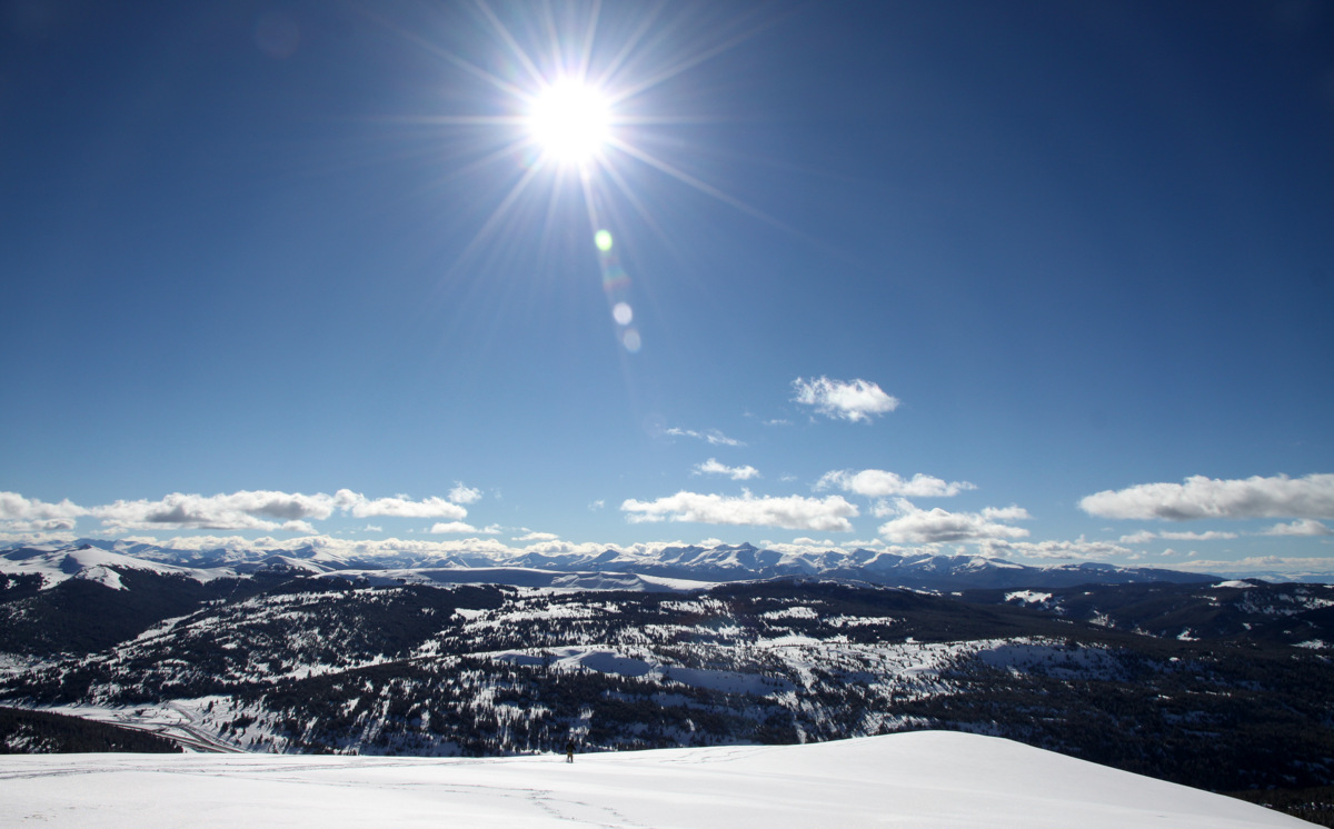
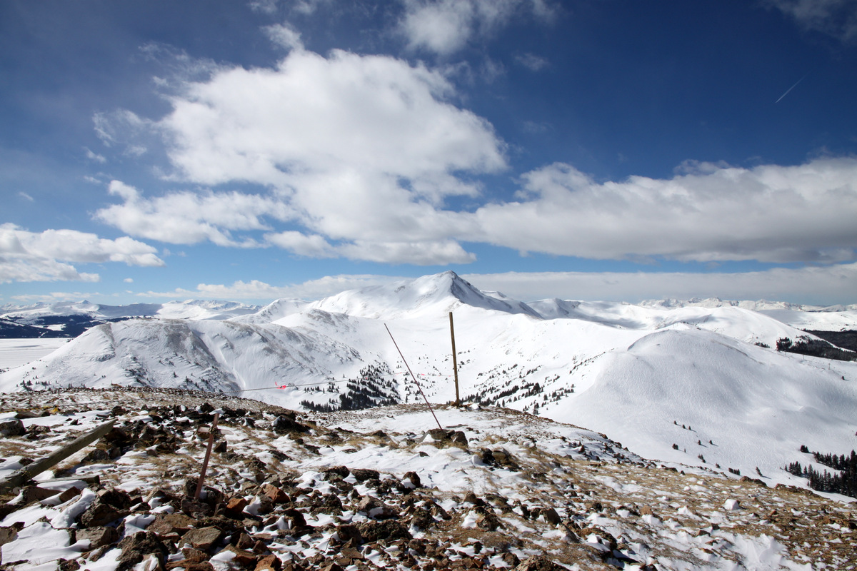
The Coin Slot
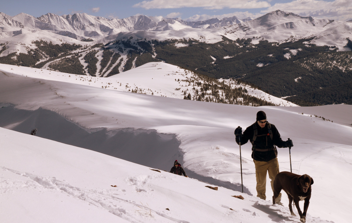
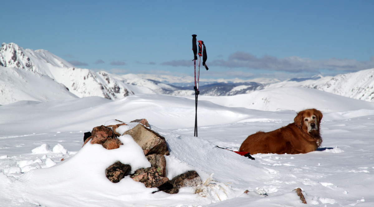
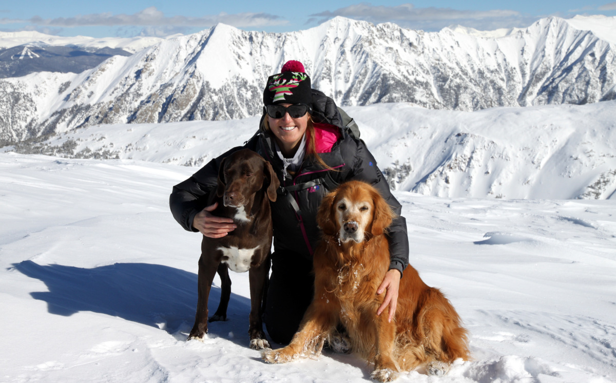
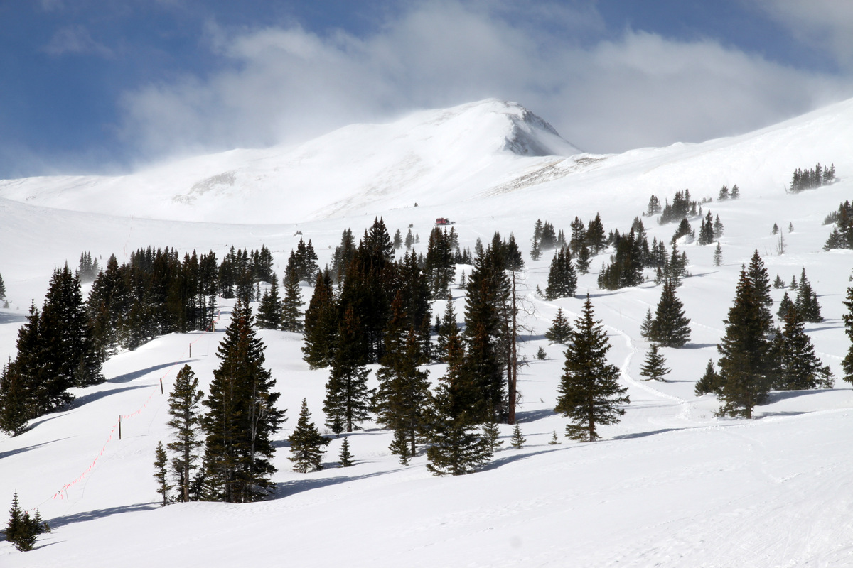
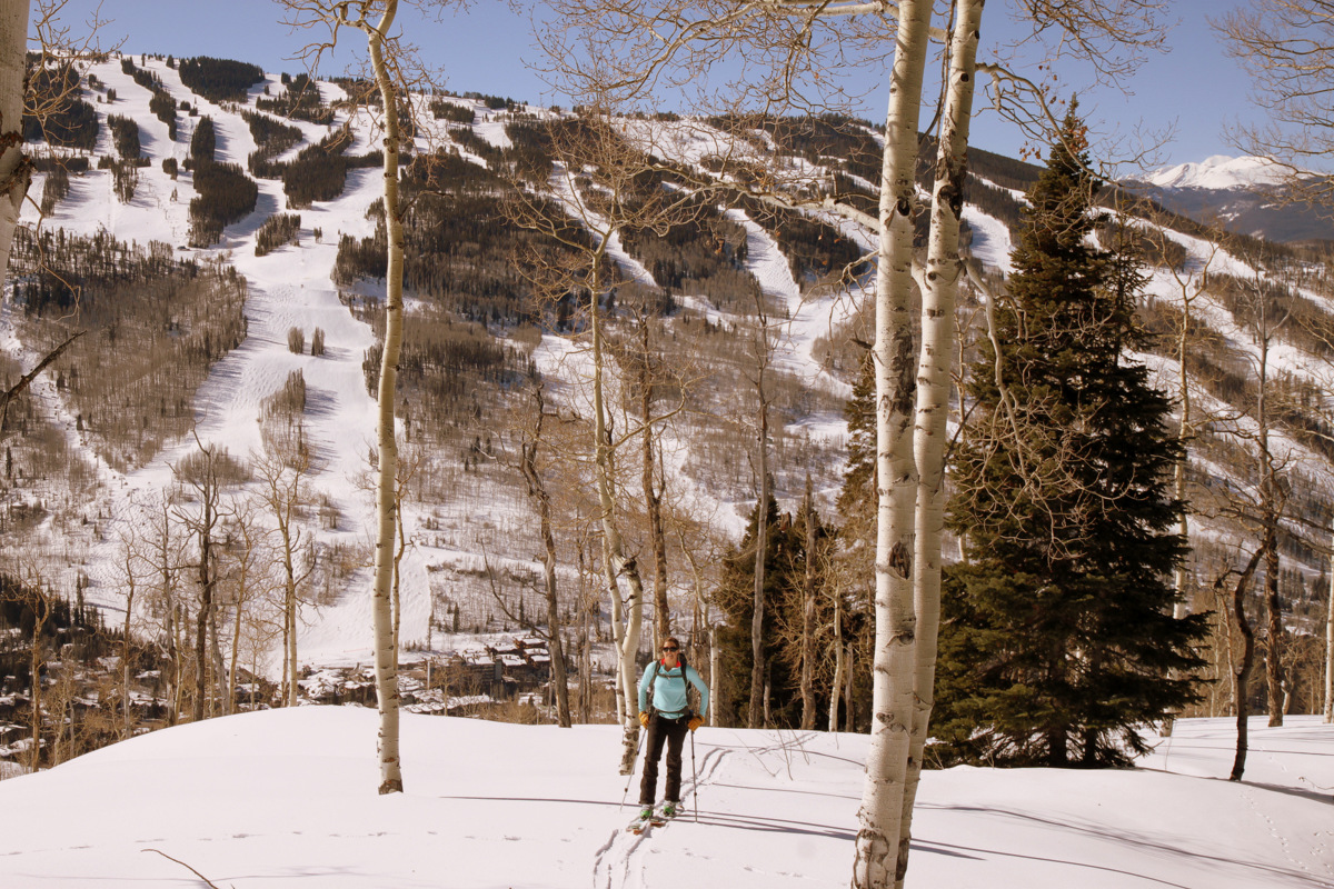
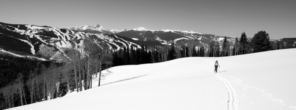
The next day, in much better weather (absolutely bluebird skies and full sun), Kristine and I had a ski tour date up our local 12,136′ peak named Bald Mountain just north of Vail Village. Despite being so close to us and located in our favorite Gore Range, we had yet to climb this peak for one reason or another. While only a 12er, Bald Mountain boasts quite the vertical gain and mileage at around 4,000′ and 10 miles roundtrip. After dropping Rainier off at Sarah & Keith’s house and picking up their dog, Molly, we drove to Vail and essentially parked at the main Vail Village exit. From there we started the ascent of Bald’s long and broad southwest ridge through gorgeous glades and thick trees around 9:30am.

Kristine starting the skin with the Vail Village exit down below
We had to put the skis on our packs for the initial few hundred vertical feet, but then we got to mellower slopes and were able to skin the entire way to Bald’s summit. We quickly noticed that there was a Black Hawk helicopter running all day up in the Spraddle Creek, Middle Creek, and Bald Mountain areas. We also noticed the chopper was dropping folks off on the west ridge of Bald Mountain and pretty soon our fears were realized. We came upon a few search and rescue (SAR) volunteers in the woods and they told us a man from Indiana had been missing since Friday en route to the backcountry Eiseman Hut north of Bald Mountain. We had been to the Eiseman Hut on a few backcountry skiing excursions/hut trips and certainly know how difficult the terrain and locating the hut can be, especially in bad weather. However, when he went missing last Friday, the weather was good and apparently he deliberately separated from his group saying he would meet them at the hut. By the time his friends arrived at the hut, the man was not there. SAR crews had been searching all weekend and still to this day there is no sign of the missing person. Its a tragic situation and it seems that every year someone gets lost en route to/from the Eiseman Hut. I certainly hope the gentleman is found alive.
Kristine skinning through gladed areas with Vail ski mountain behind
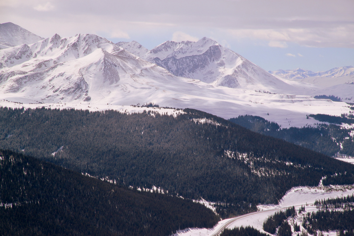
Bald Mountain still a good distance away
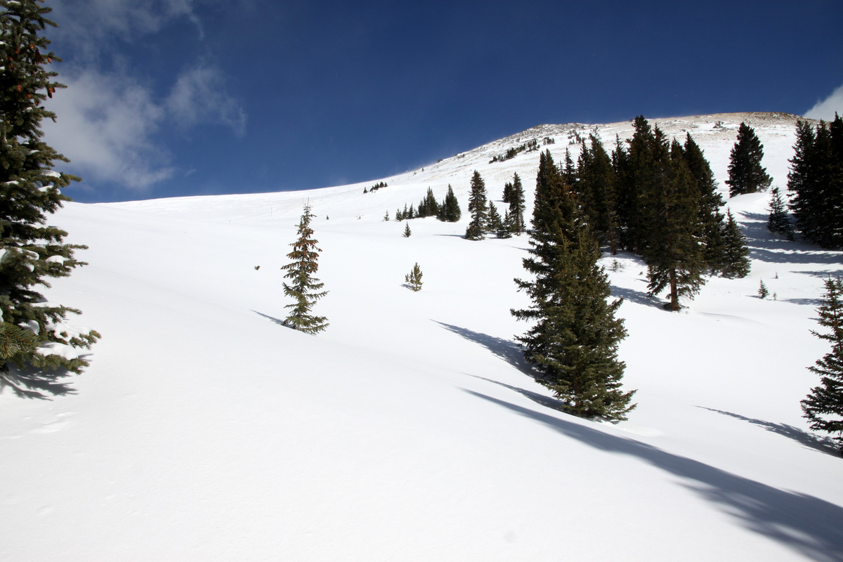
Open glades along Bald’s broad southwest ridge
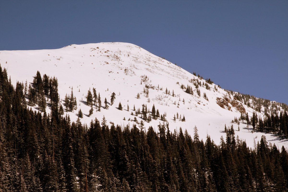
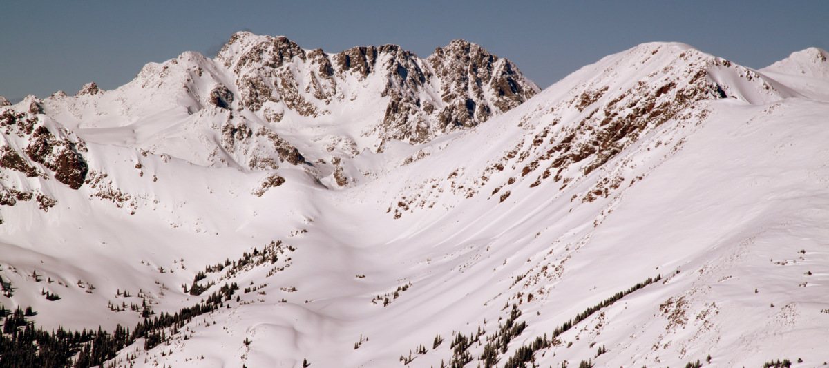
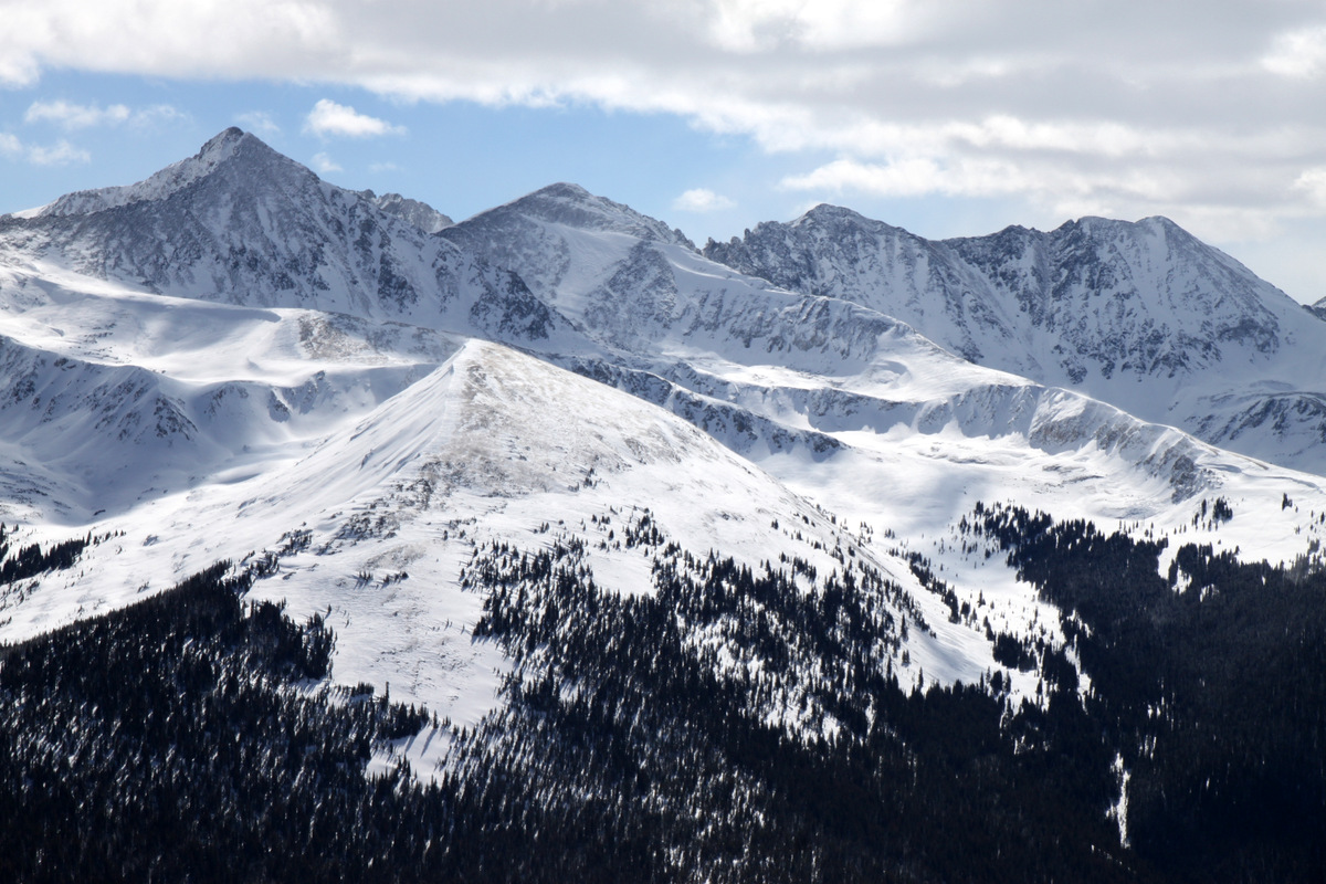
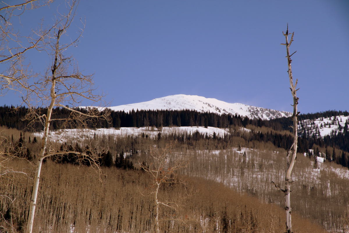
Bald’s south face
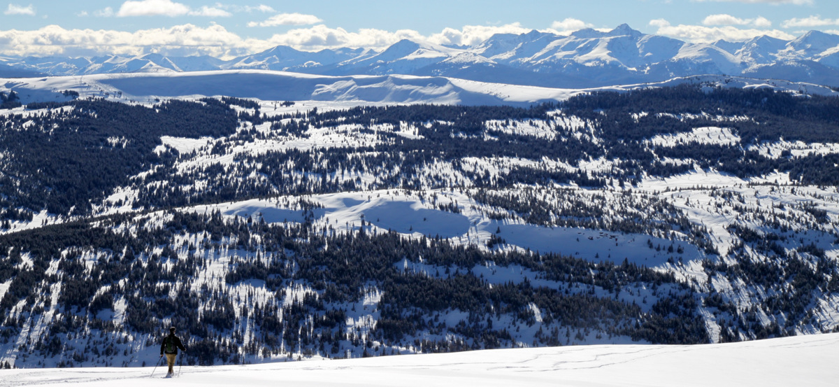
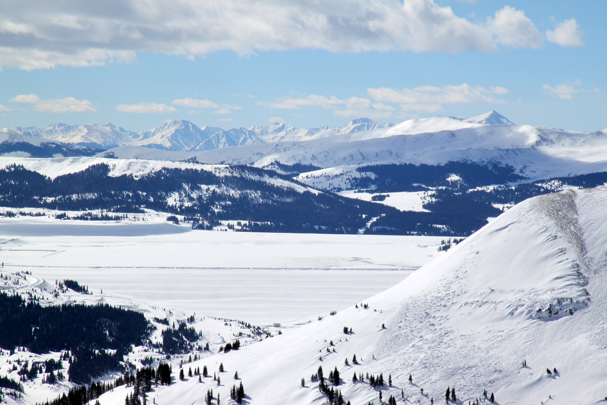
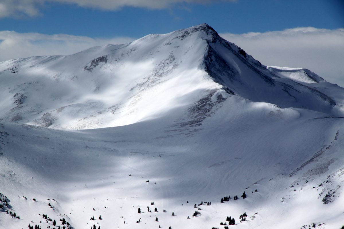
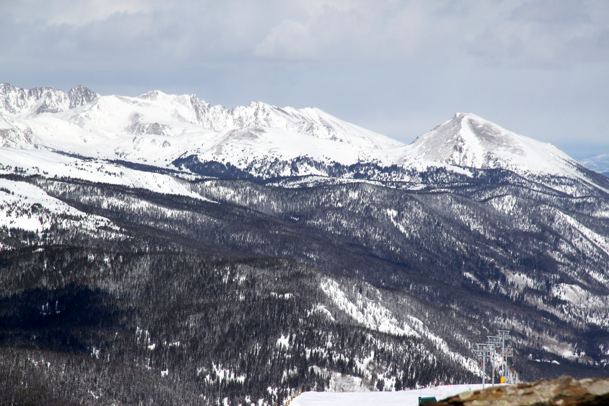
Kristine and I proceeded to have a fantastic day together skinning to the summit of Bald Mountain for outstanding views of Vail ski resort, the northern Sawatch Range, and of course the Gores the entire way up.
Kristine beginning the skin up Bald’s west ridge once above treeline
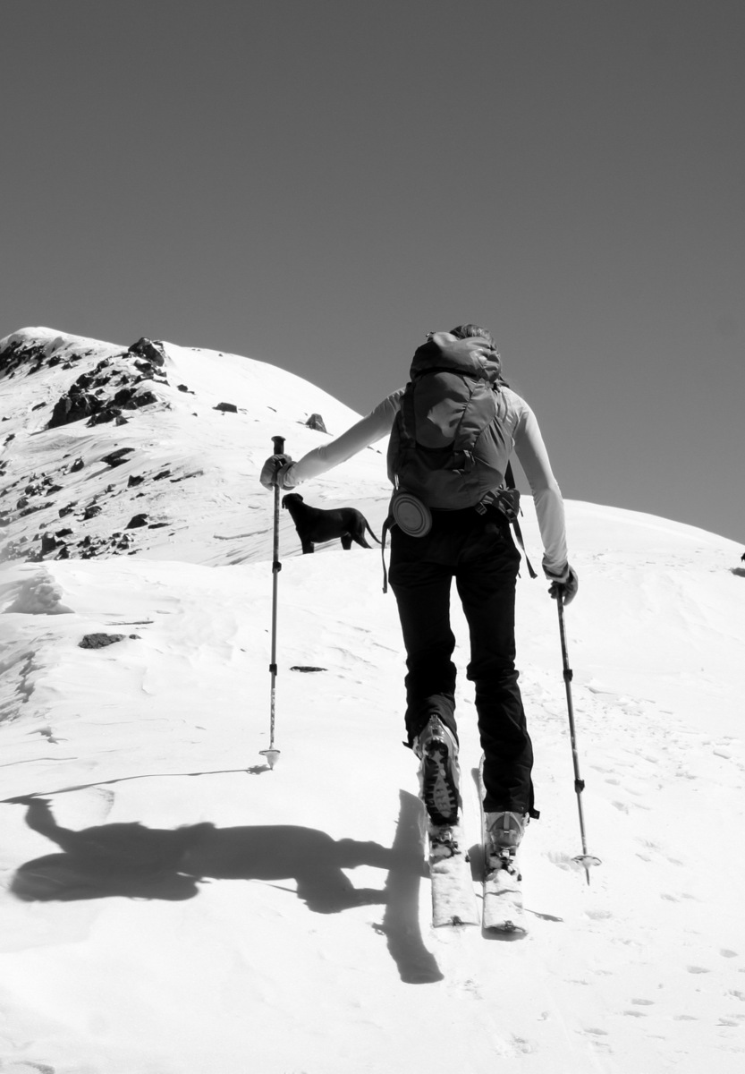
Kristine & Kona
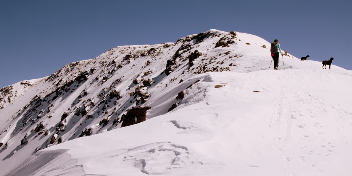
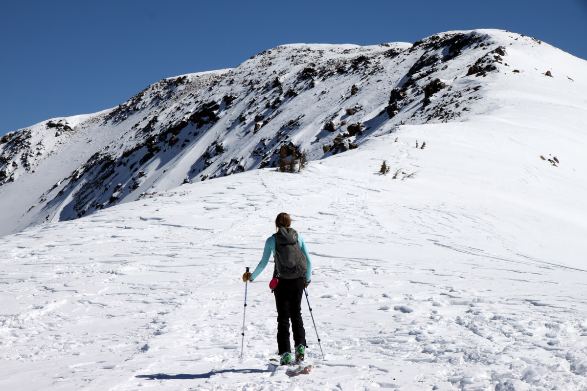
Kristine topping out on a new Gore Range 12er for us
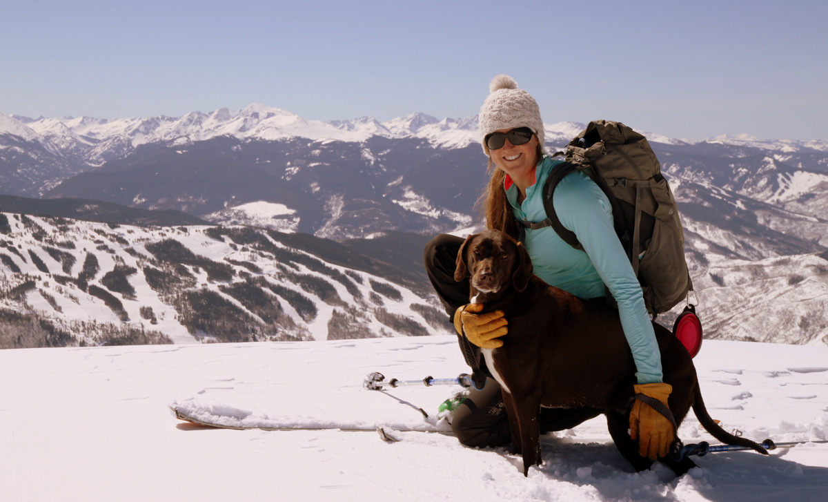
There is nothing better than a PB&J on a summit with very light wind, warm sunshine, gorgeous views, and your terrific wife. The Black Hawk came fairly close to us on the summit searching for the missing hiker.
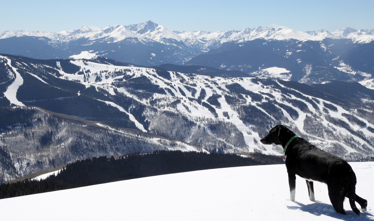
Kristine & Kona on Bald Mountain’s summit with Vail ski resort and the northern Sawatch Range behind
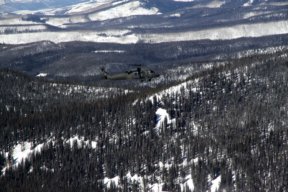
The Black Hawk
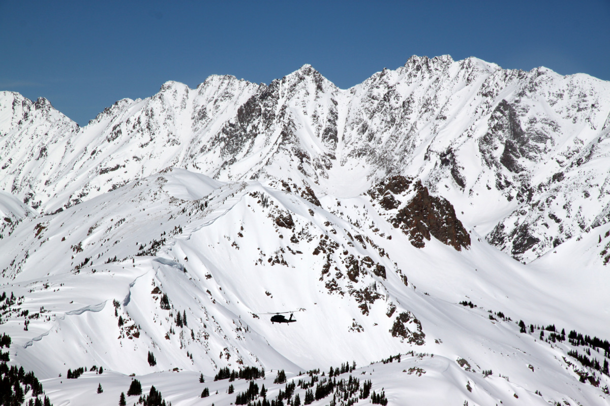
The Black Hawk with Ripsaw Ridge as the backdrop
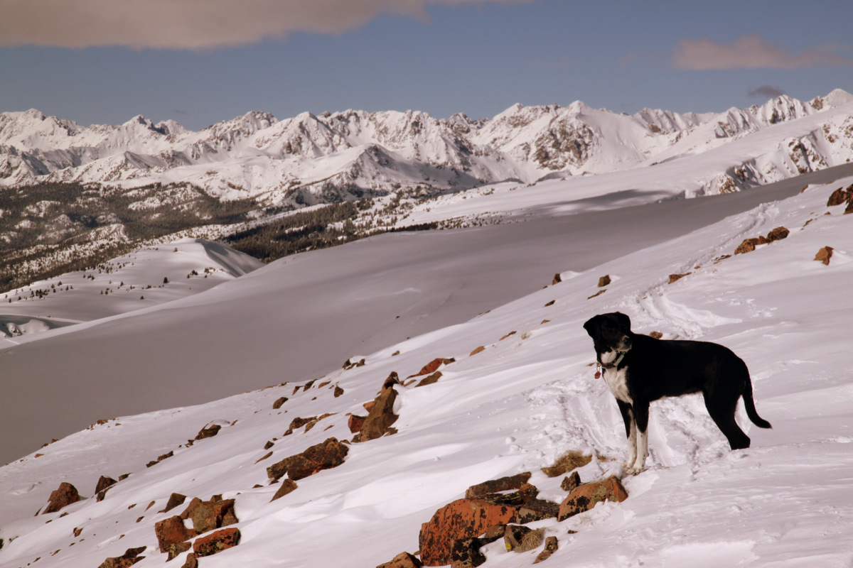
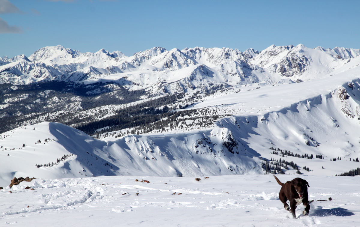
Molly taking in the views
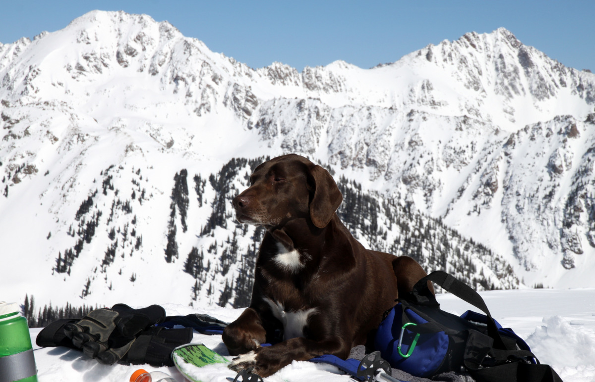
Kona catching some zzzz’s on Bald’s summit with East & West Partner Peaks behind
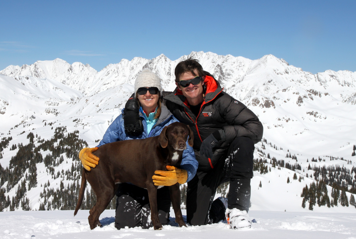
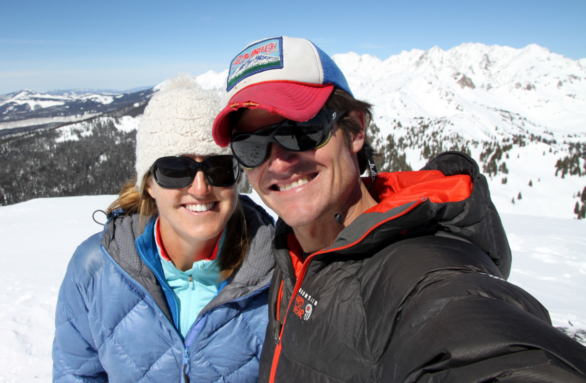
The Chalks (minus a Rainier) on Bald Mountain’s summit (12,136′)
Just a gorgeous winter day
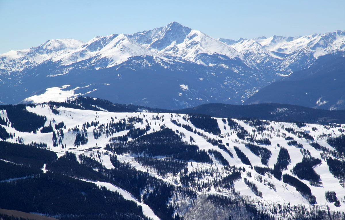
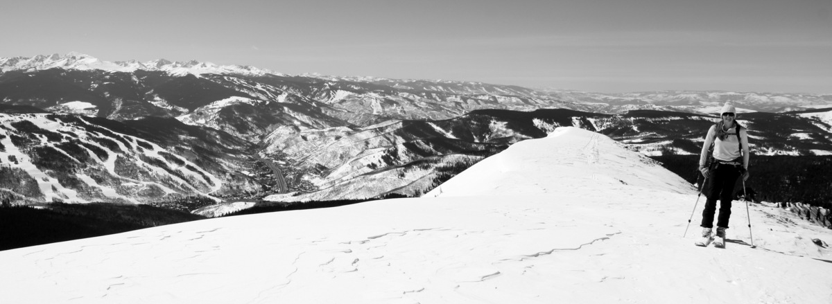
Vail ski resort with 14er Mt. of the Holy Cross in the distance as seen from Bald Mountain’s summit
After about 3 hours and 45 minutes up, 30 minutes on the summit, we started the ski down our ascent route.
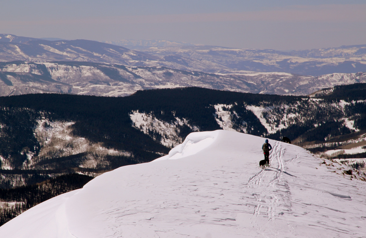
Kristine and the dogs skiing off Bald’s summit
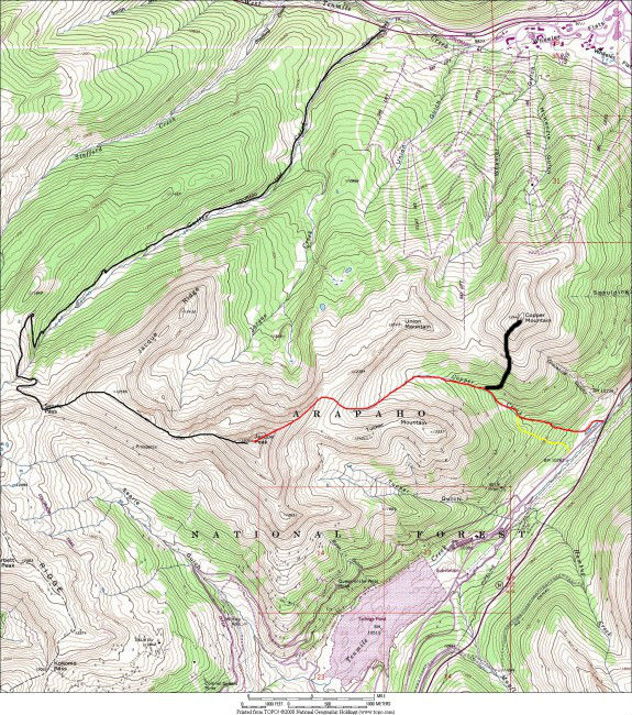
It was tight skiing in the trees and tough to find our skin track at points due to the several skin and ski tracks made by the SAR crews, but we made it back down to the car in about an hour and a half. We did enjoy some enjoyable spring corn turns on low-angled slopes at the bottom of the southwest ridge. Spring is almost here. All in all, it was a leisurely and very enjoyable 6 hour roundtrip ski tour. I think we’d both highly recommend Bald’s southwest ridge as a fun and mellow ski tour if your willing to do a bit of your own routefinding and navigation. A map of the route is below:
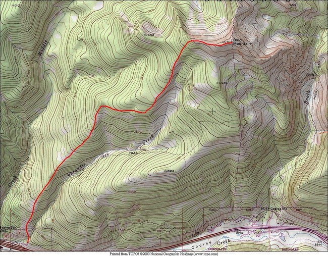
Bald Mountain’s southwest ridge route
 Follow