Skiing Finnegans
Despite having basically lived in Edwards for the better part of 12 years (except for a few year stint in Eagle-Vail with the fabulous friend & roomie Megan Gilman), I always glanced up at this nice peak looming far above the Lake Creek Valley and the town of Edwards dubbed “Finnegans” by locals. The official 13er Finnegan Peak (13,346′) is south of Finnegans along the same ridge a few summits over. It has a mellow north-facing slope from its 12,765′ summit down to treeline at around 11,400′. This tree-less alpine slope always looked like it would be a superbly fun ski. Well, it took 12 years to finally go ski it, but it was a great adventure with my good friends and the skiing down the north face yesterday (June 7) was just awesome creamed corn goodness. We all felt the patchy post-holing effort along the Middle Lake trail was well worth the skiing on the upper face.
I had hiked up Finnegans twice in the last decade. The first was with my friend Mike Johnson when we thought we could actually ridge-run from Finnegans all the way to 13er Gold Dust Peak with Rainier & Kona in an afternoon after arriving on Finnegans’ summit at an early ridge traverse alpine start of 10am. Yeah right. Oh how my mind/body’s appetite has caught up with my eyes over the years, i.e my eyes can’t write checks anymore my mind/body can’t cash. Then in fall of 2011, Kristine, Rainier, Kona, & myself did a nice hike up a dry Finnegans and had wonderful view of the fall colors and turning leaves in the valleys below.

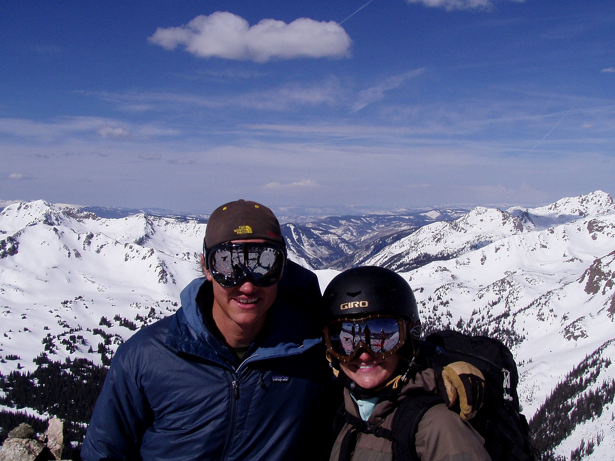
All Chalks on the summit of Finnegans (12,765′) in October of 2011
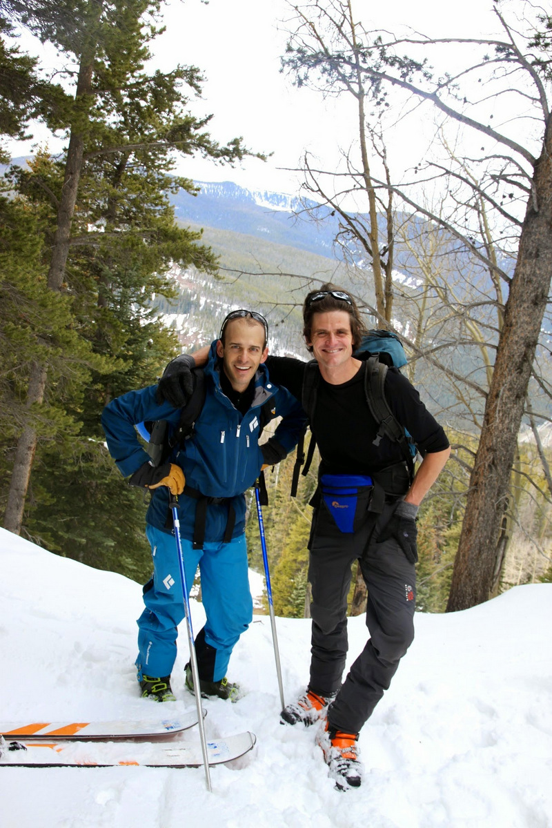
Fast forward to yesterday and good pals Joel Gratz, Tamra Malczyk, J Weingast, Gus (Tamra’s 11 year old wonder dog), & myself all piled into my Tahoe and bounced our way up the West Lake Creek Road (Baryeta Cabins Road as J and I call it) around 7:30am.
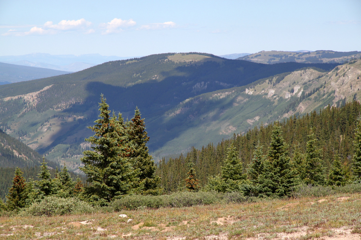
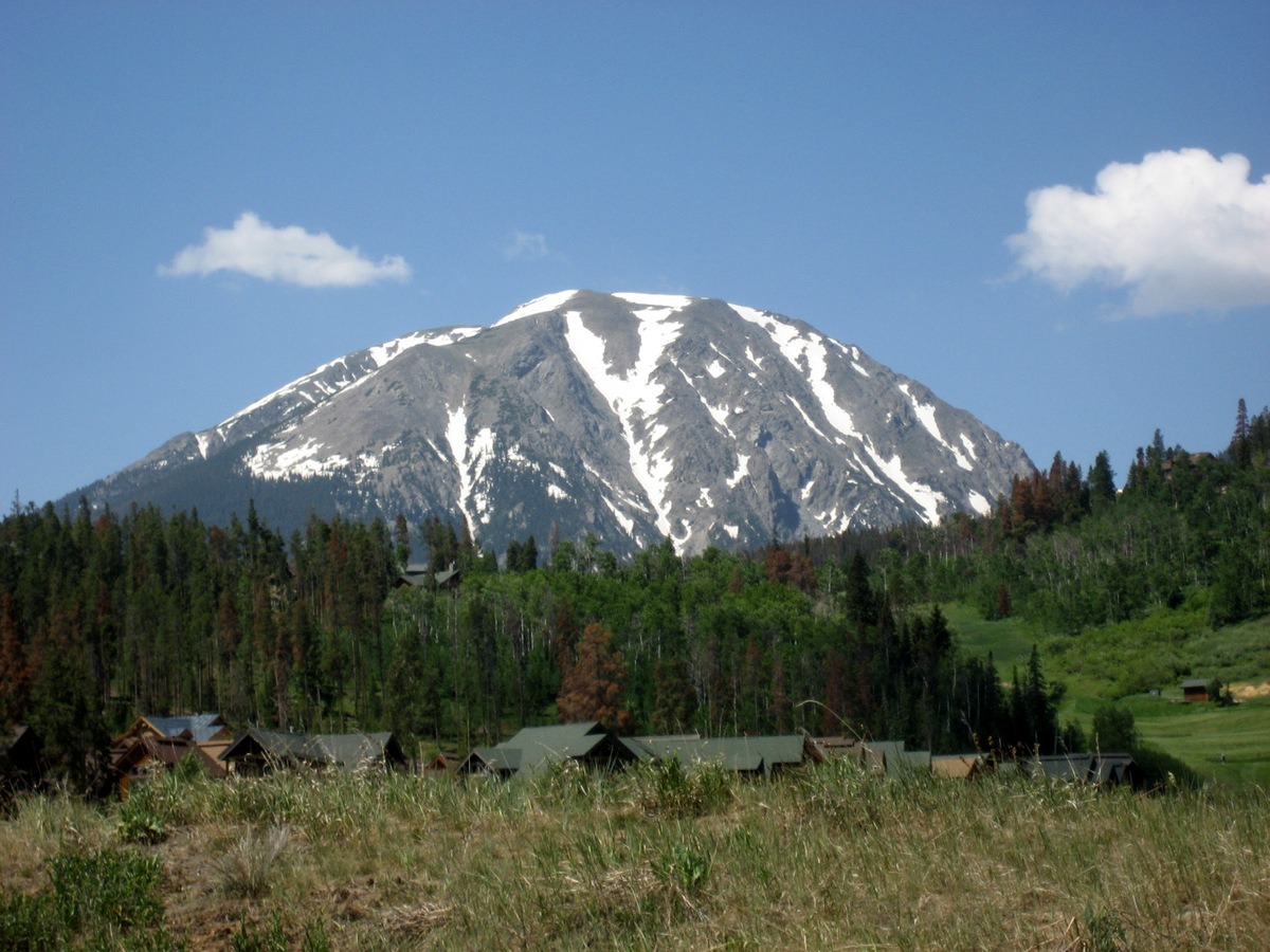
Finnegans as seen from a mile and a half in on the West Lake Creek Road. Photo by Joel
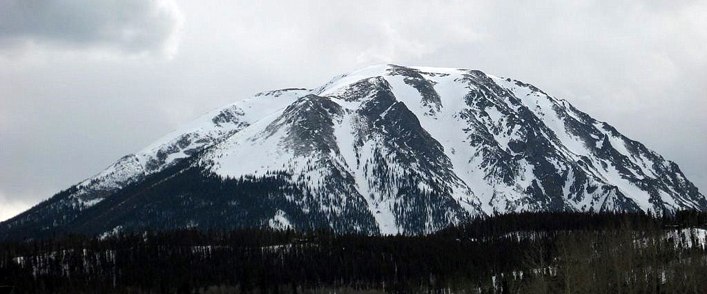
As compared to my photo of Finnegans in October of 2011 along this same stretch of road
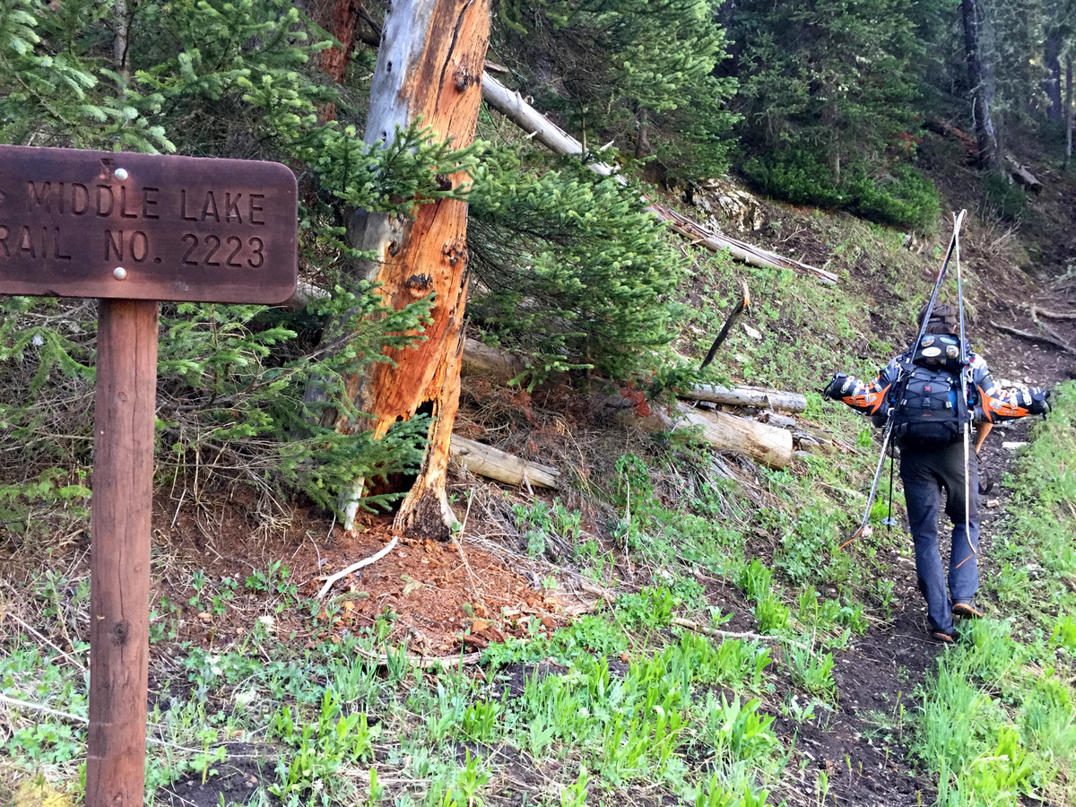
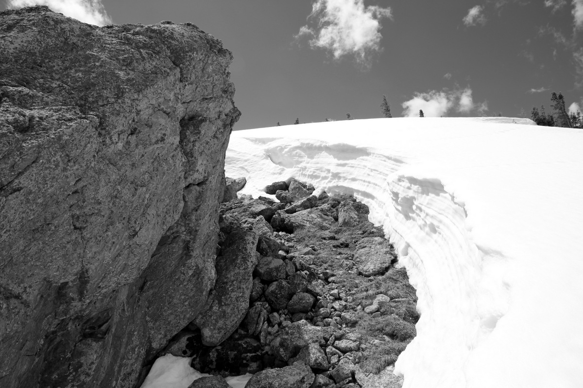
About a mile and a quarter before the end of the road (where we had hoped to drive to) a snow bank blocked easy passage. Yes, we maybe could have plowed through the 18″ high drift, but we played it safe and parked off the 4WD road. Skis/boots on our packs and trail running shoes on our feet, we boogied up the road to the Middle Lake trailhead.
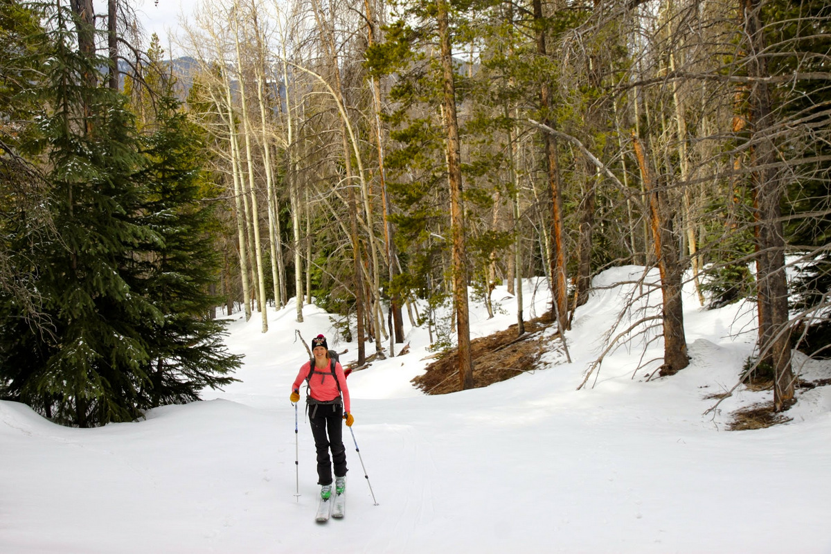
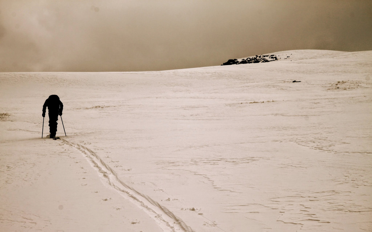
Me heading up the dry trail. Photo by Joel
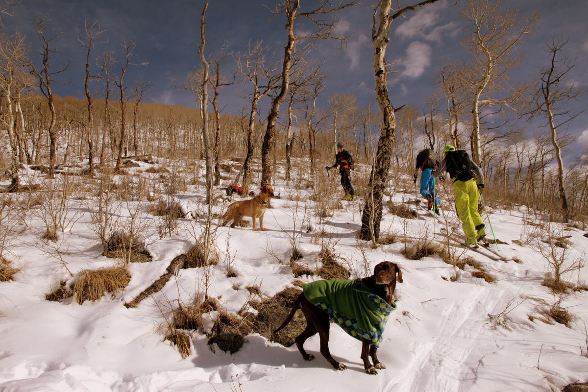
I had a hunch it would be off and on snow drifts along the mostly north-facing trail, but we perhaps did a little more post-holing than I anticipated. Putting the skis/skins on your feet really isn’t justified when the snowdrift is followed by 30 yards of dry trail. The snowdrifts were sloppy and deep. Our feet were soaked. J was smart to bring his gaiters. However, it was warm out and wet feet didn’t really matter all that much – it actually felt slightly refreshing.
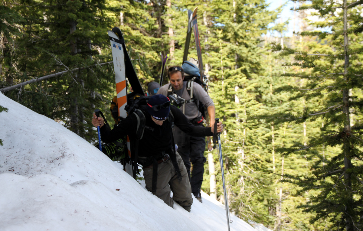
Joel in some of my deep post-holes along the Middle Lake trail
After negotiating some steep drifts on the trail that essentially hugs a cliff, we ventured into the mellow west-facing bowl and found continuous snow up through the trees. YES! We then donned our skins/skis and skinned our way up the remaining 1,000′ to treeline at around 11,400′.

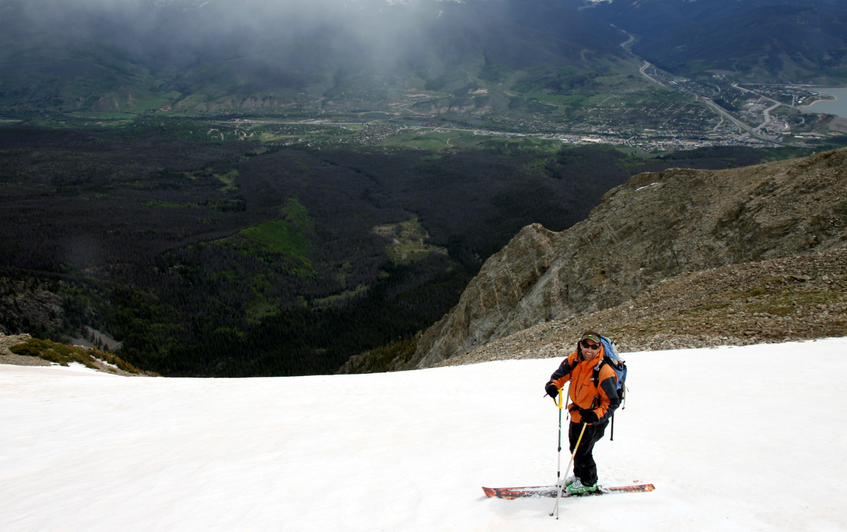
Finally, we’re on skis!
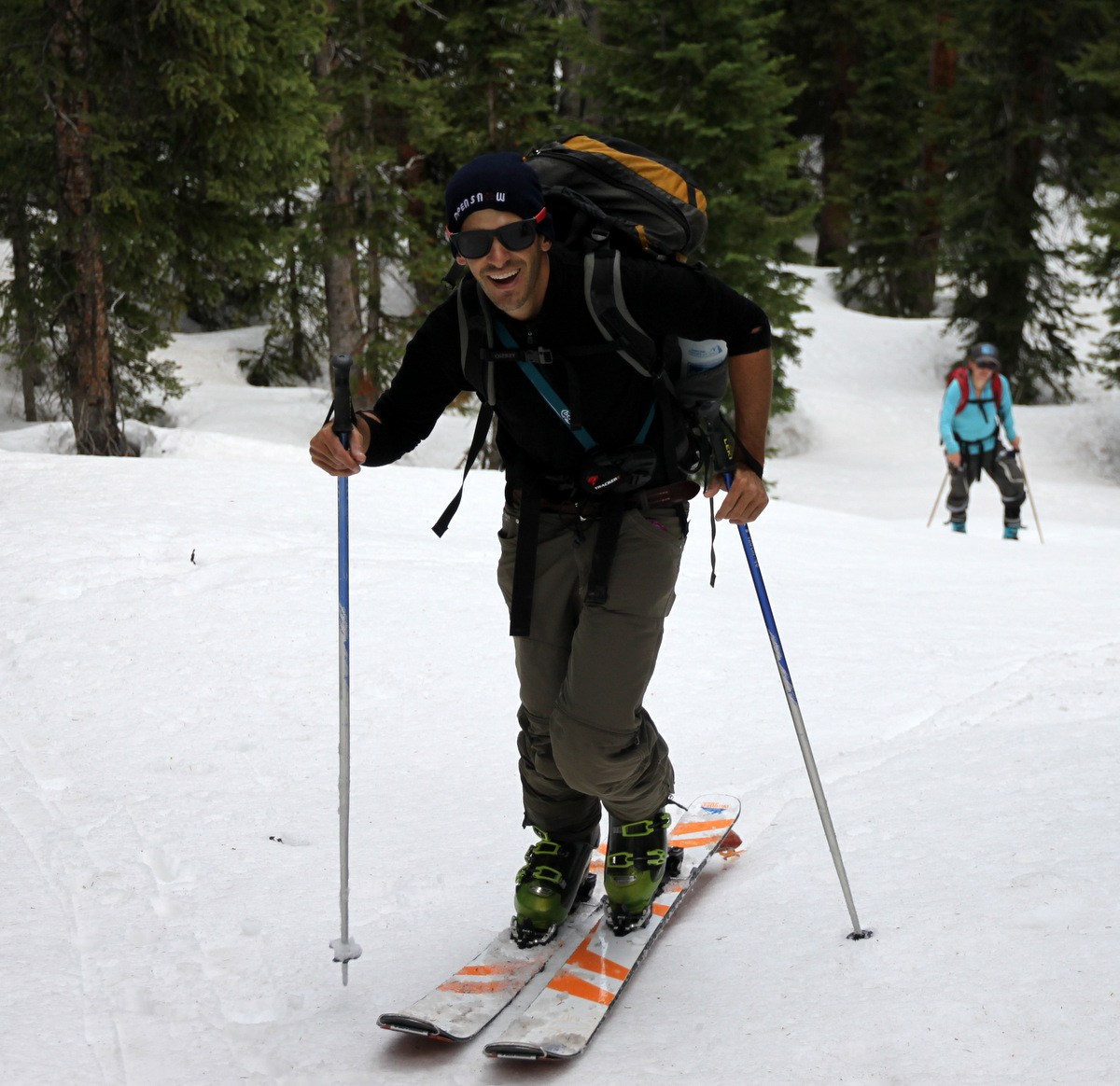
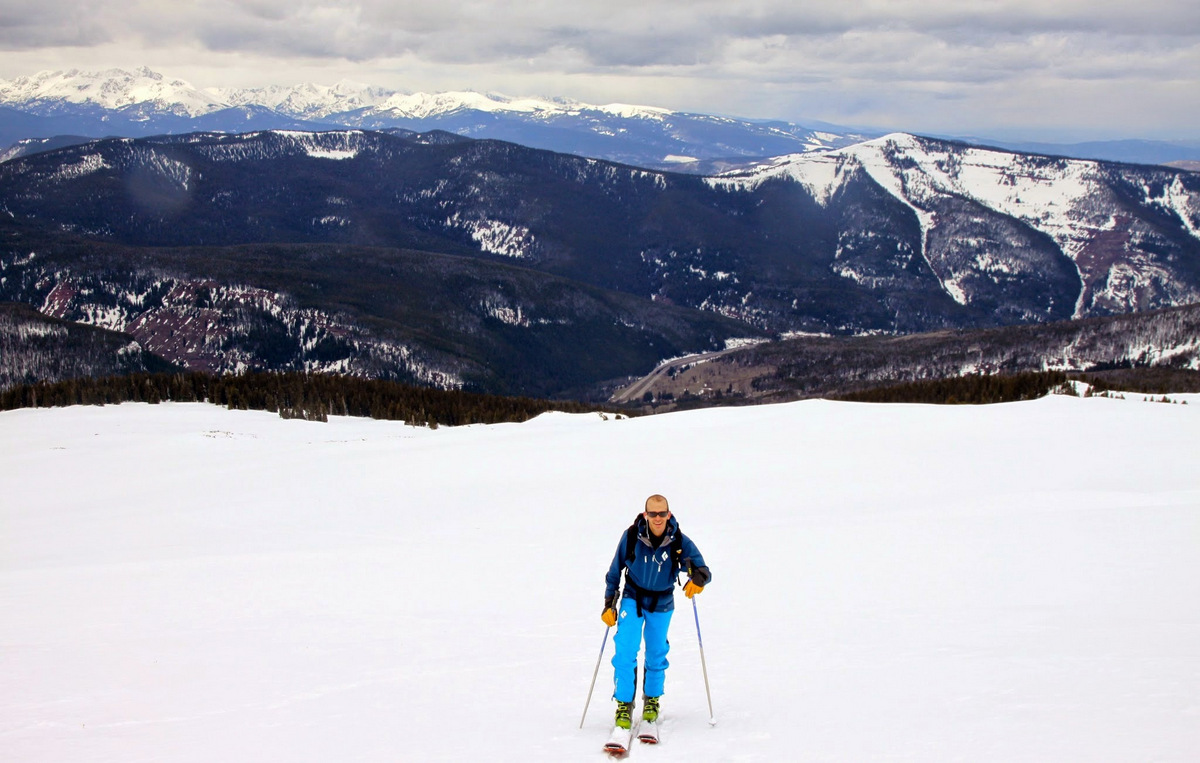
Joel
Tamra
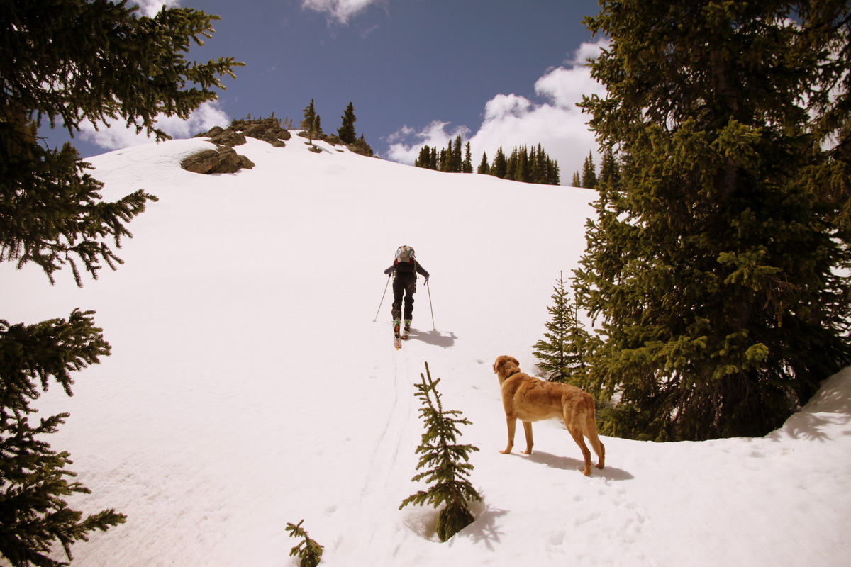
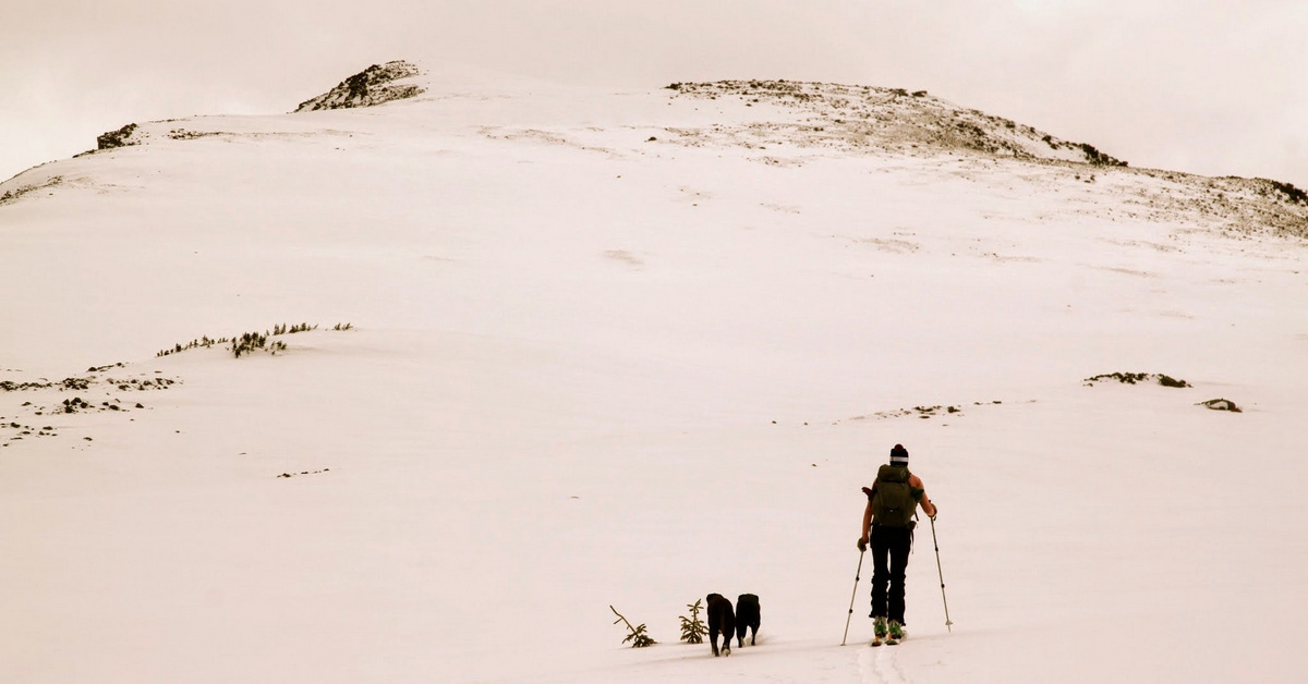
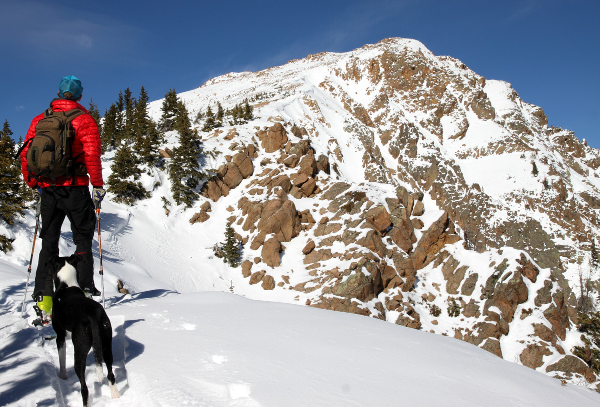
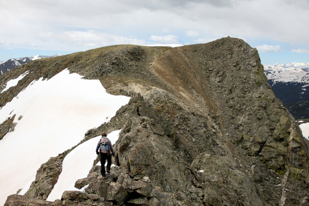
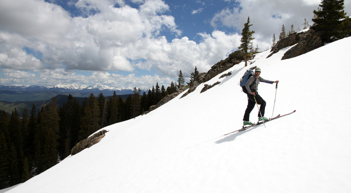
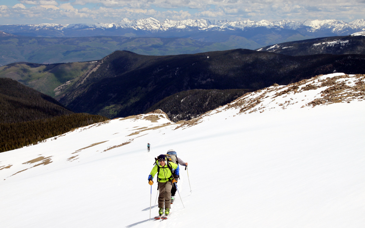
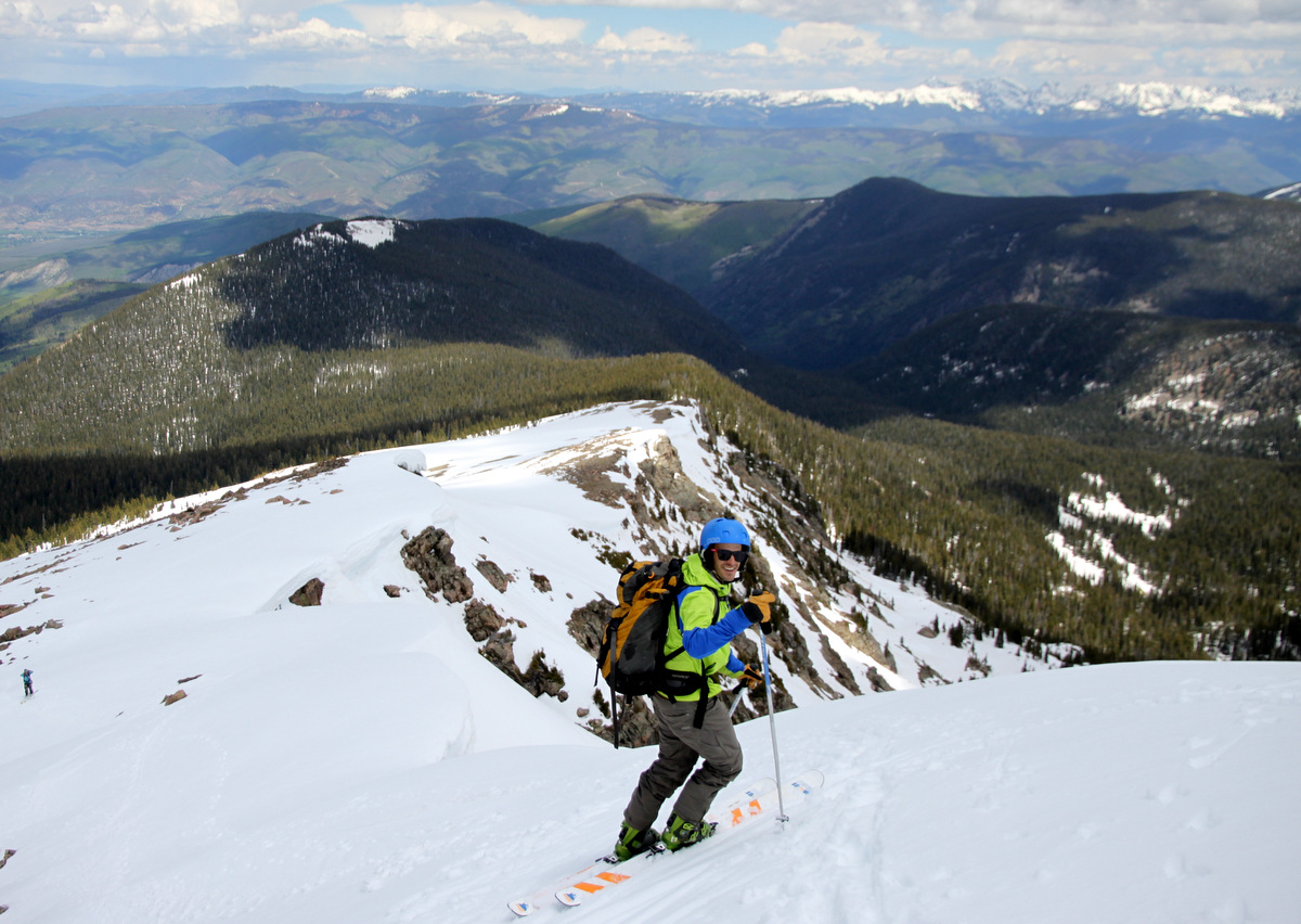
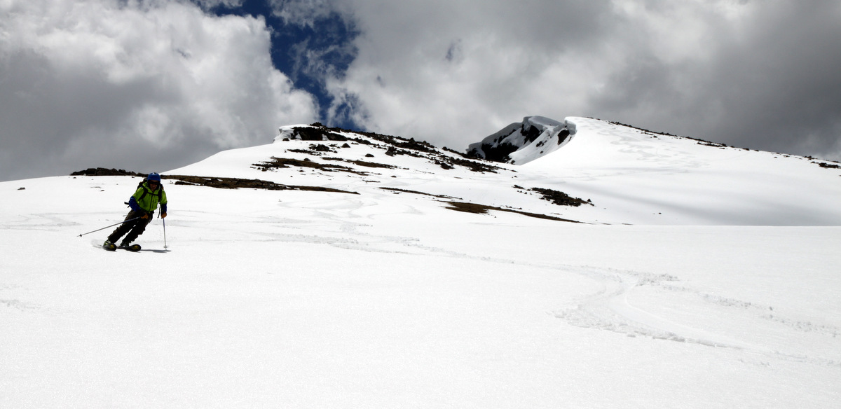
J heading up and out of the woods onto Finnegans’ broad north face
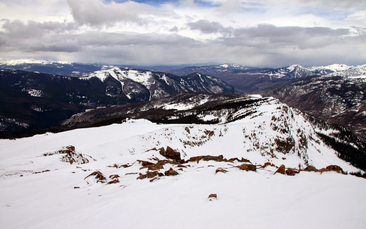
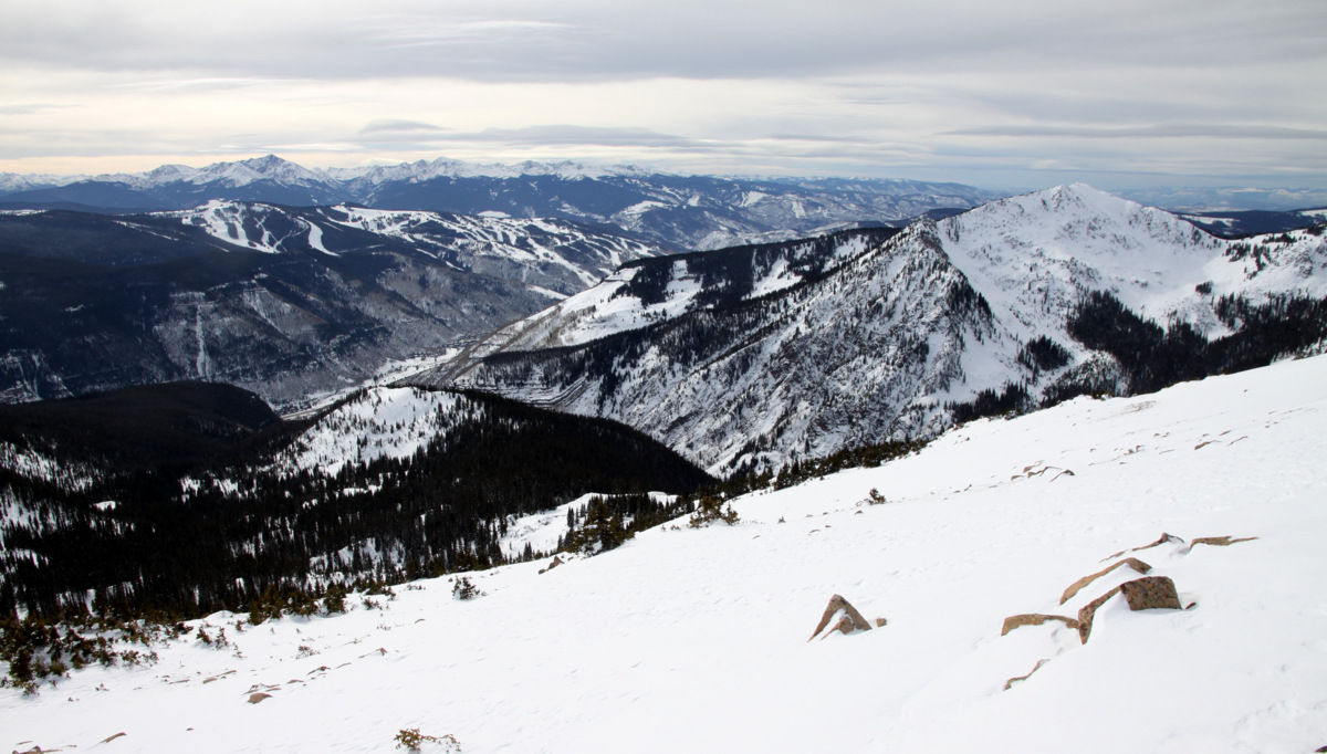
After being in the woods for a few hours, it was extraordinary to get above treeline and see the views really open up around us of all the familiar peaks and valleys.
J and the Gore Range
I guess the snow is still this deep up higher on north-facing aspects – likely 6′ or so
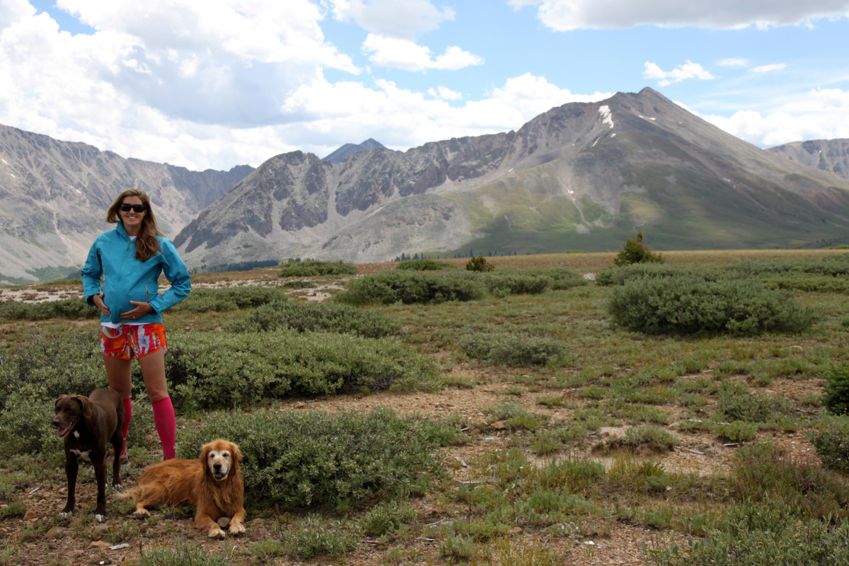
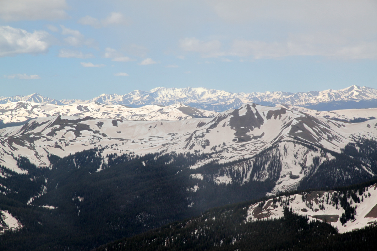
Tamra and our favorite Gore Peaks towering in the distance

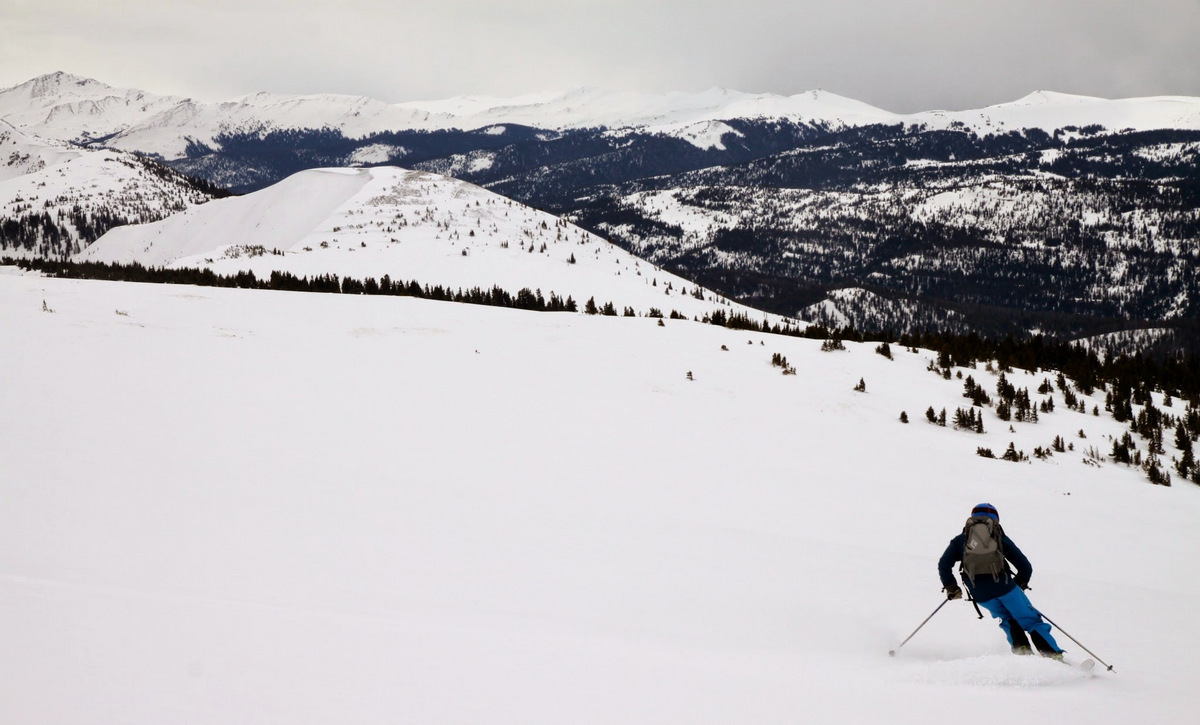
The mellow north ridge/face of Finnegans
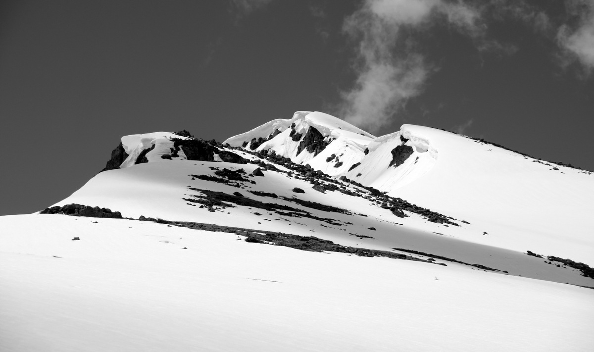
Cornices on the north ridge
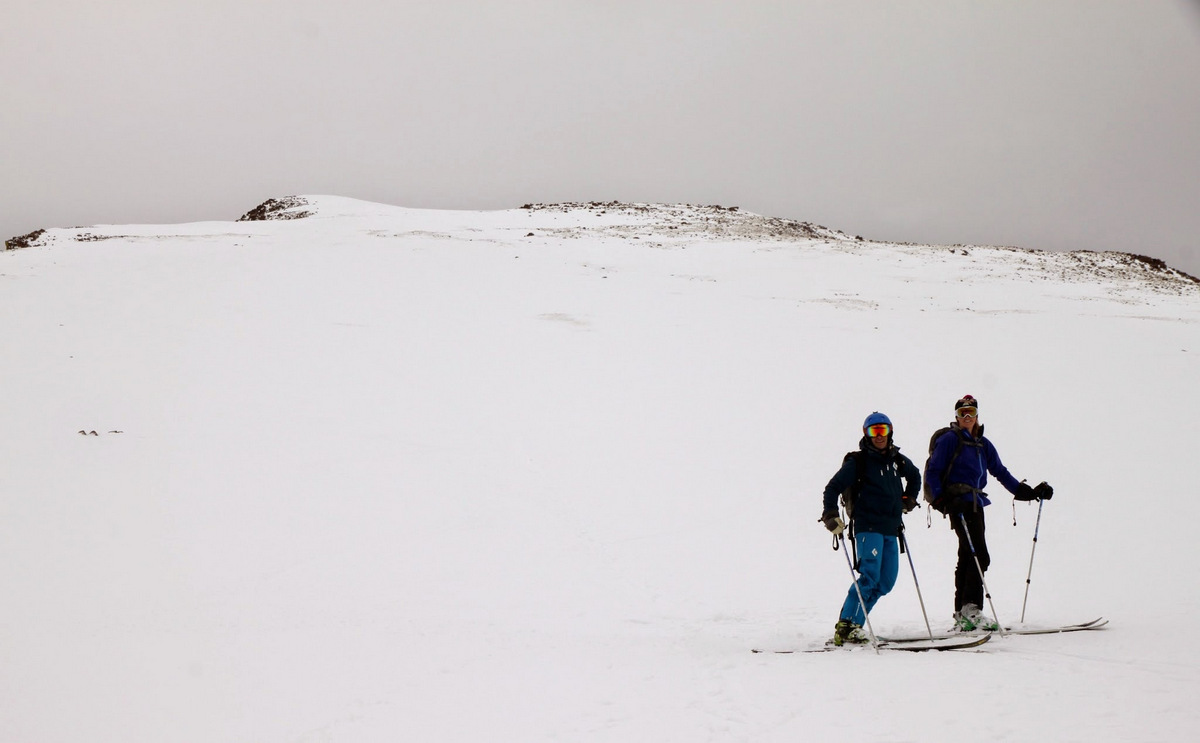
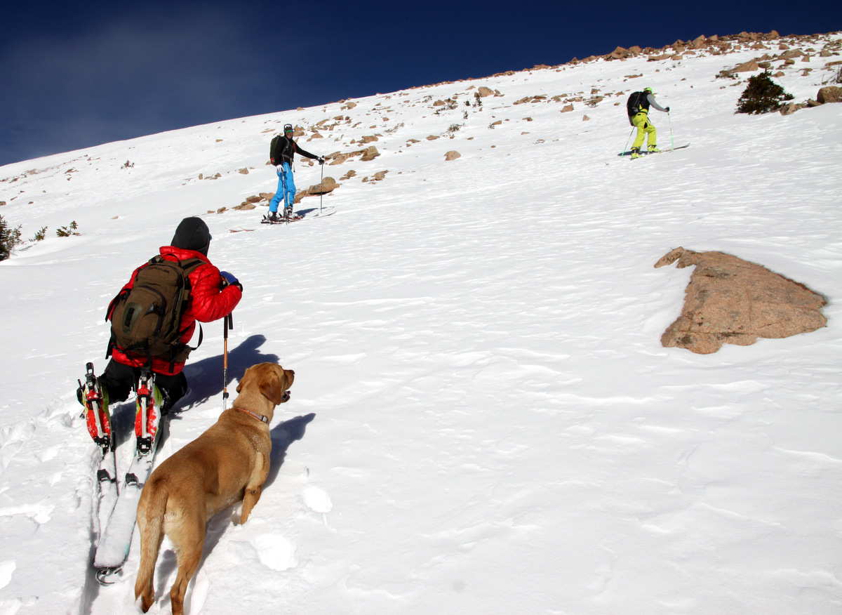
The crew skinning along
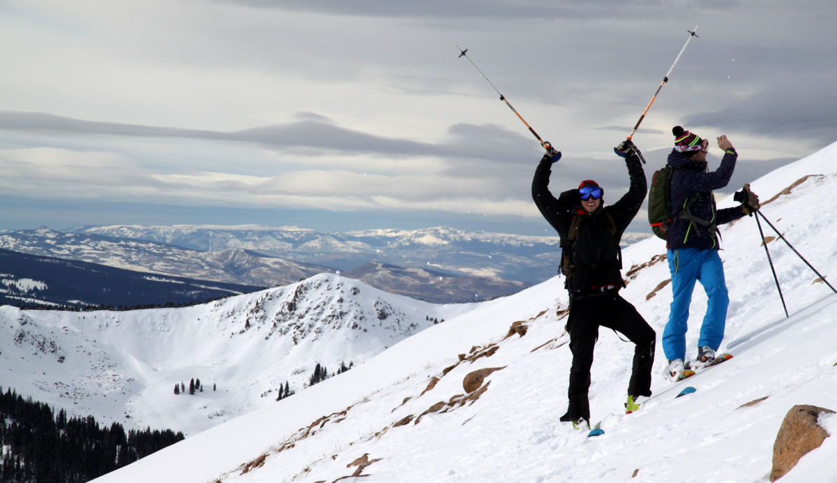
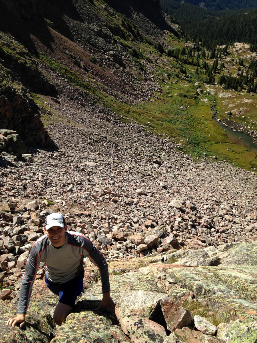
After an hour of mellow skinning we reached the final little headwall to Finnegans’ summit, which maybe reached 45 degrees but only for 30 feet or so. There were significant cornices on the north ridge’s east side, which made things a bit more dramatic (and made for cool pictures). J and I were able to skin the final headwall pitch while Tamra and Joel booted up. Gus, of course, booted up.
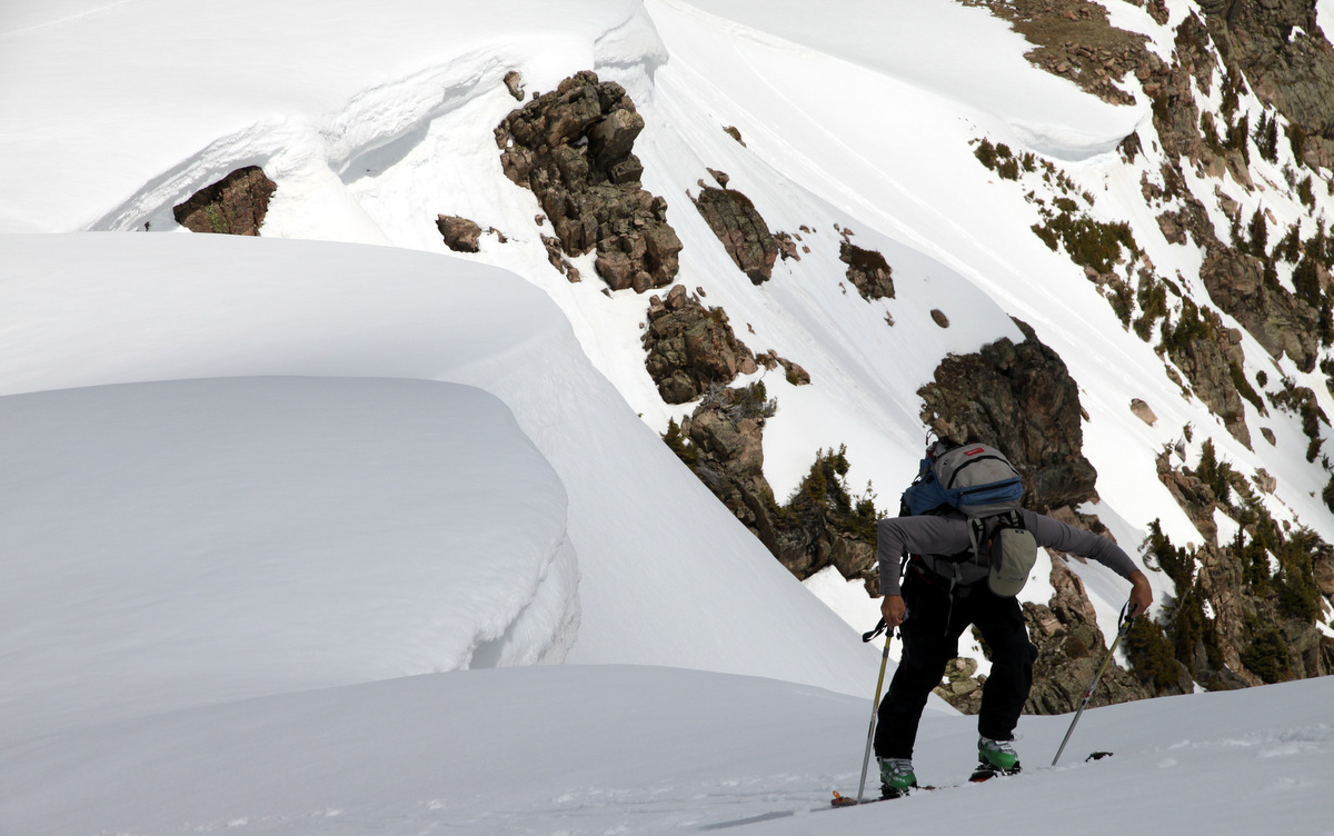
J doing some steep skinning
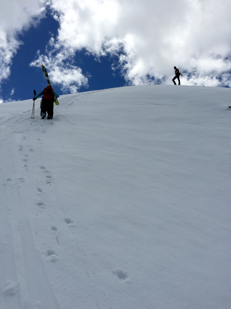
Tamra booting up the final pitch with me looking on from above. Photo by Joel

Tamra booting up the final pitch
Joel topping out on Finnegans
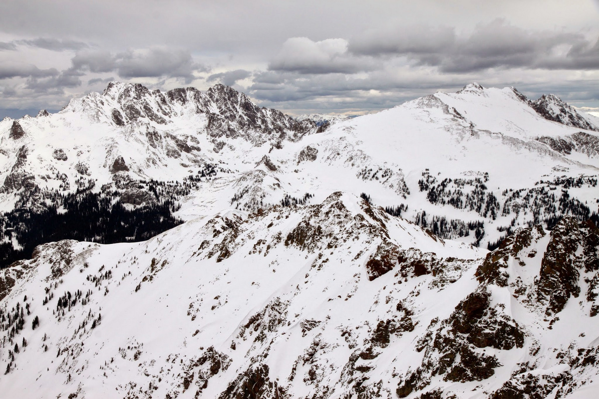
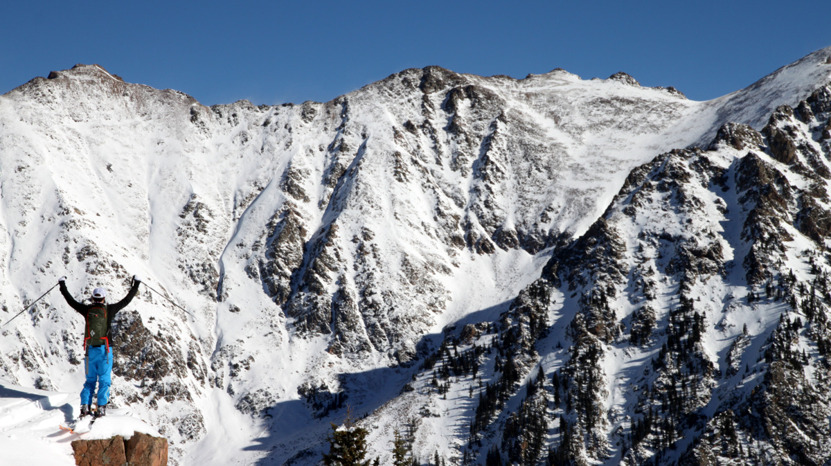
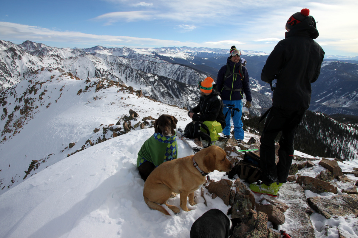
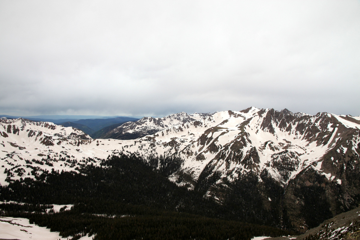
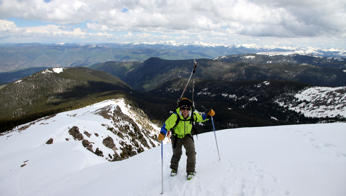
It was a great summit from the views and the crew to the warm air temperatures(short sleeves were acceptable). We probably hung around for 30 minutes up top taking pictures and giving Joel and Tamra a peak tour of the northern Sawatch. The Elk Range looked amazing as well from this perch as did Mt. Sopris. So fun to see this much snow above 10,000′ in June.
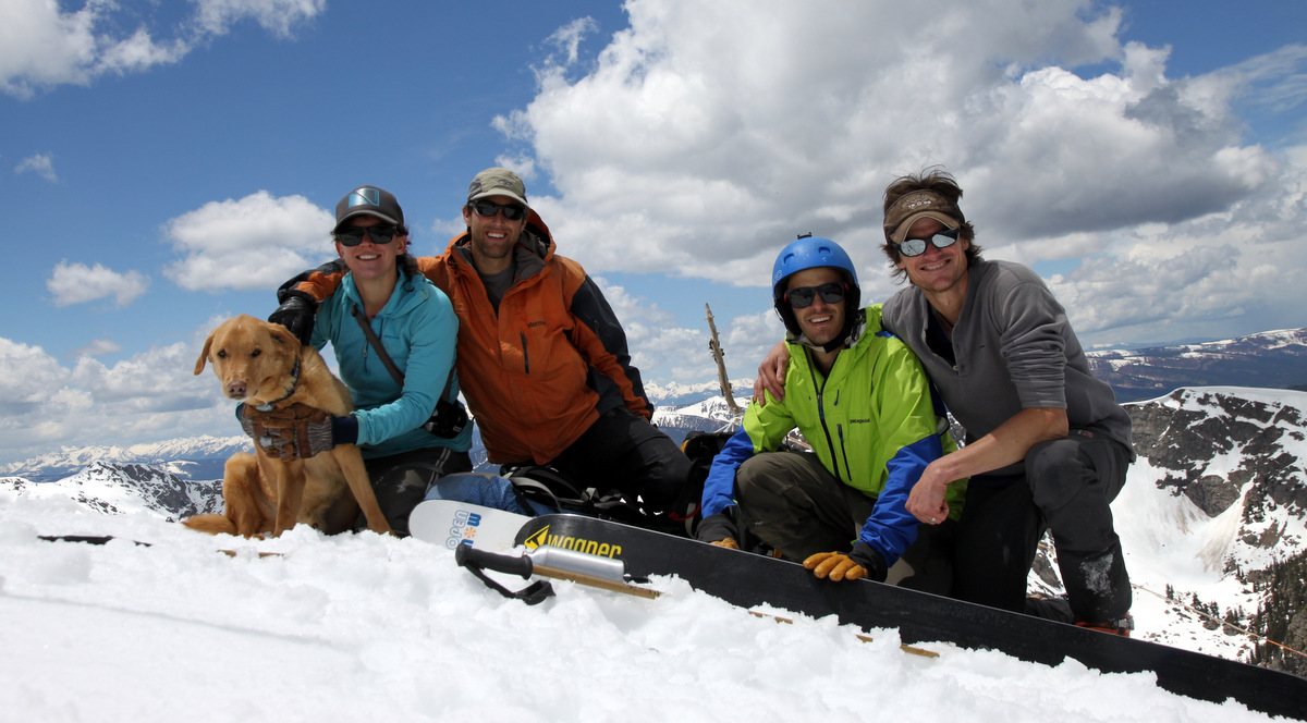
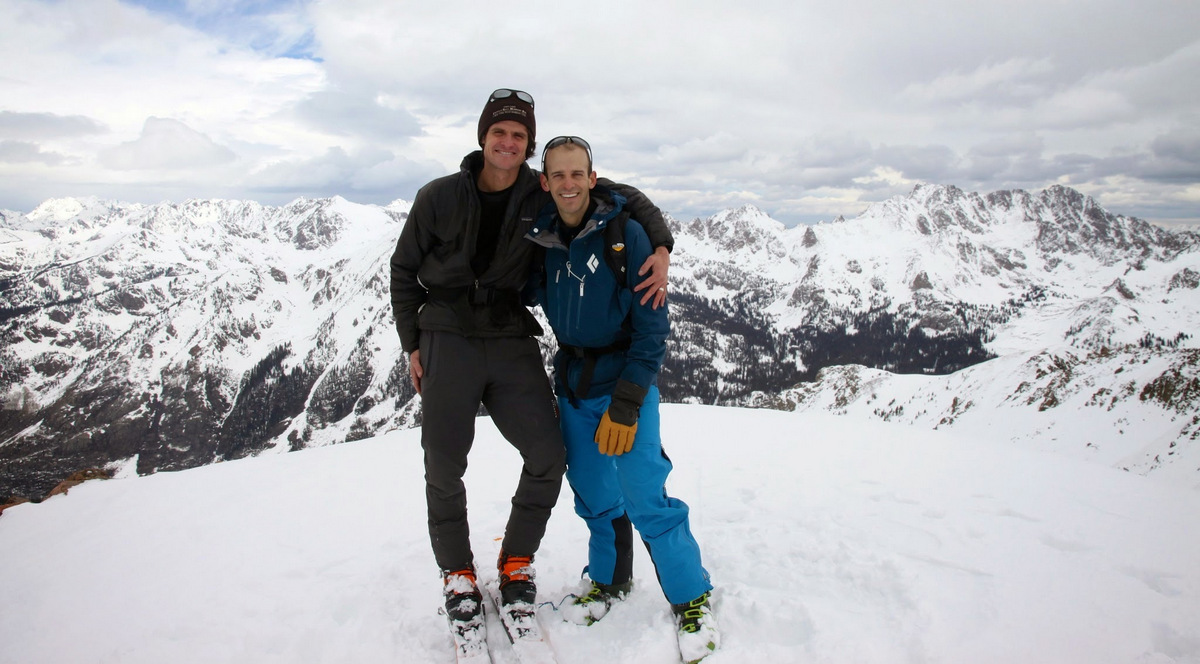
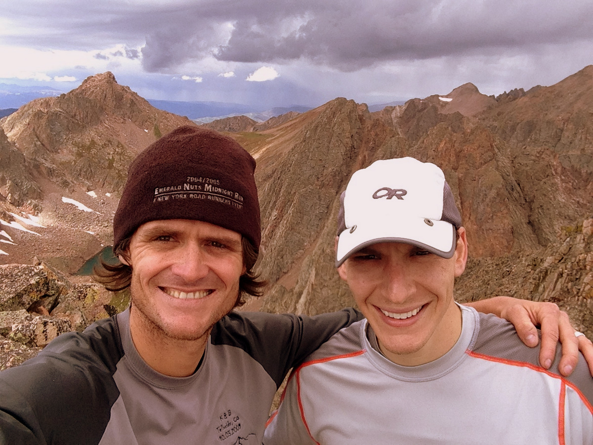
All of us on the summit of Finnegans (12,765′) on a beautiful June 7, 2015
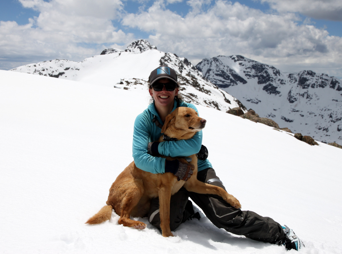
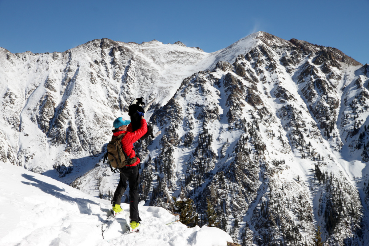
Tamra & Gus
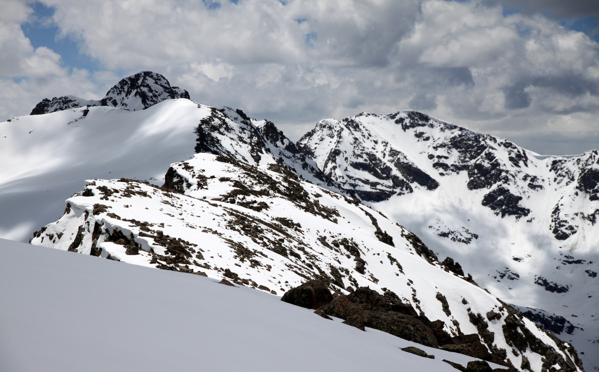
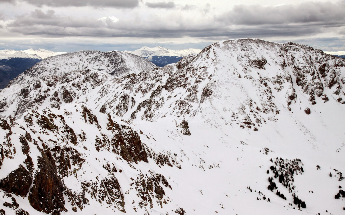
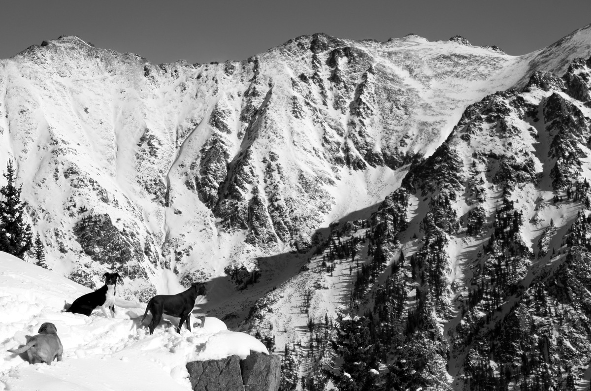
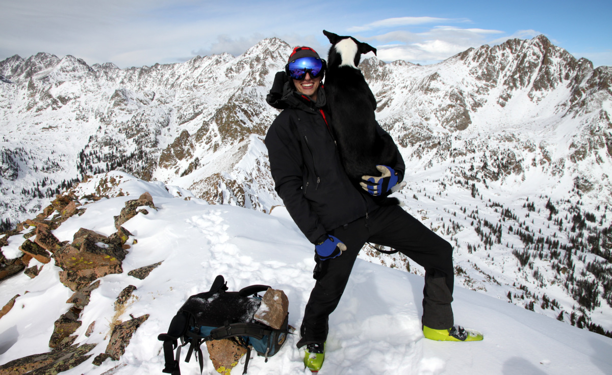
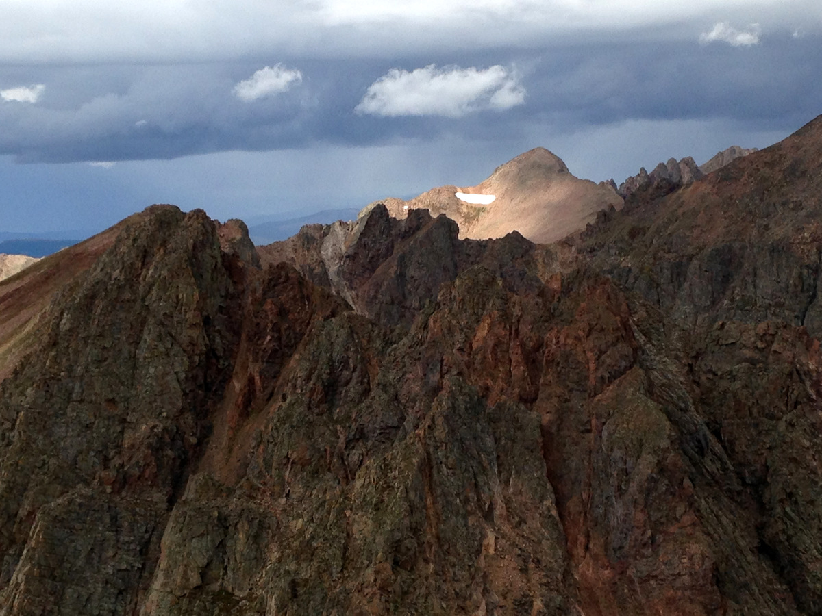
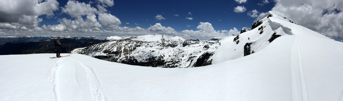
Looking south to Finnegan Peak (left, closer summit) & Gold Dust Peak (right, far back summit) from the summit of Finnegans
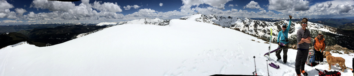
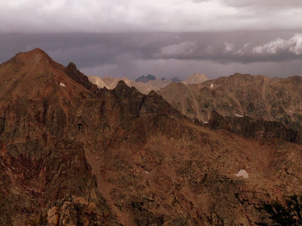
Summit panorama by Joel
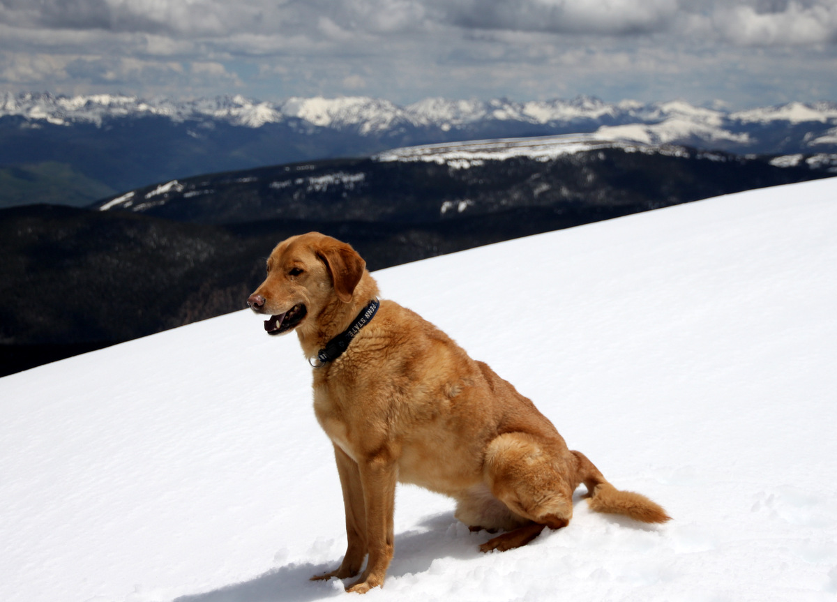
Gus
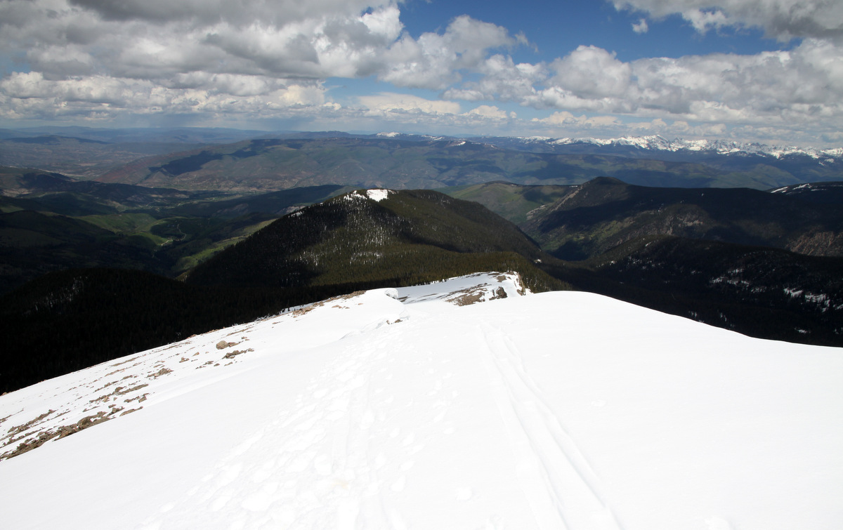
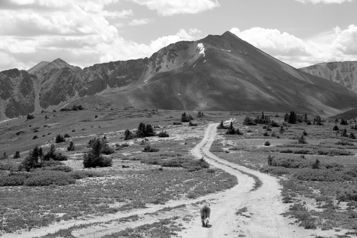
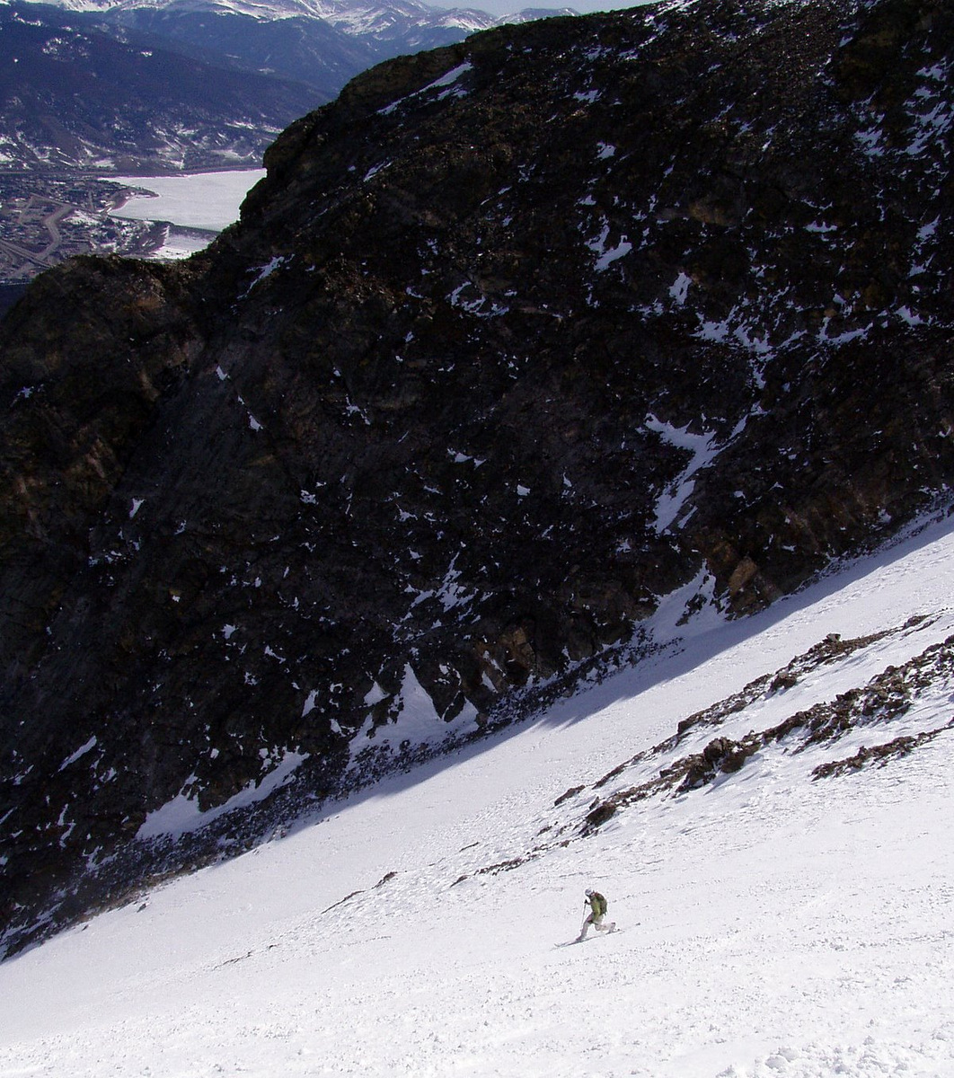
Looking down the north ridge/face of Finnegans

As compared to this photo in October of 2011
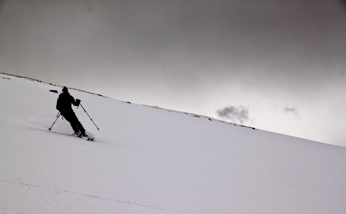
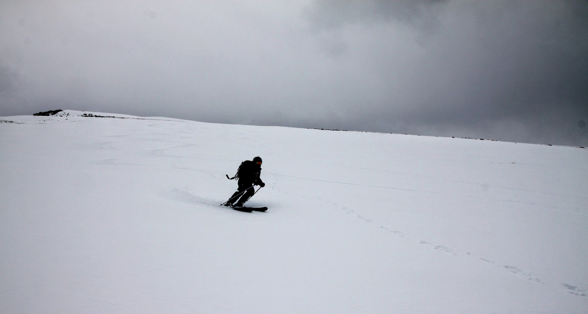
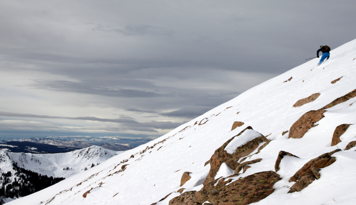
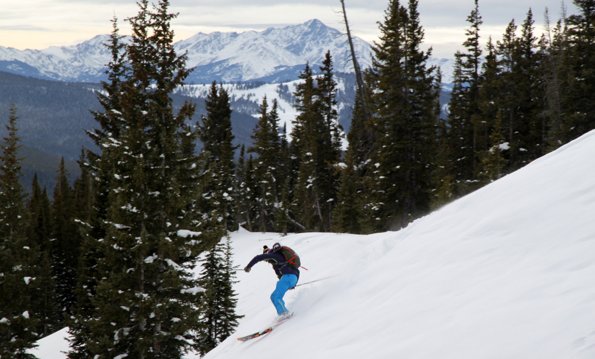
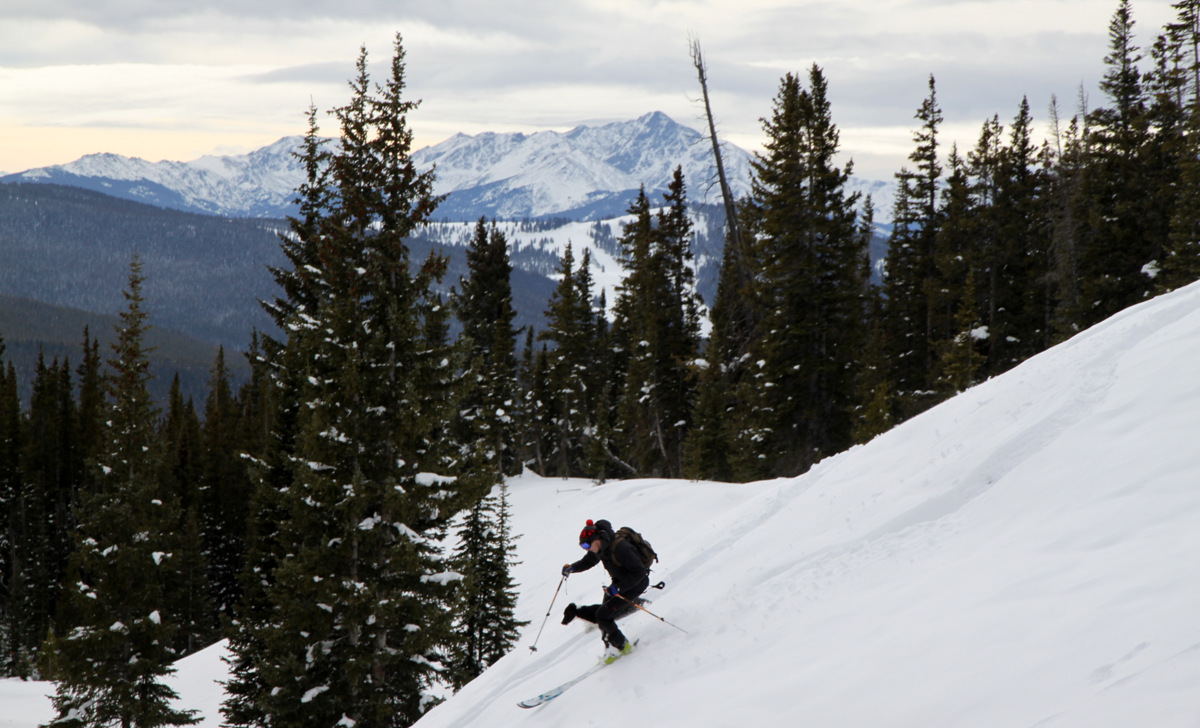
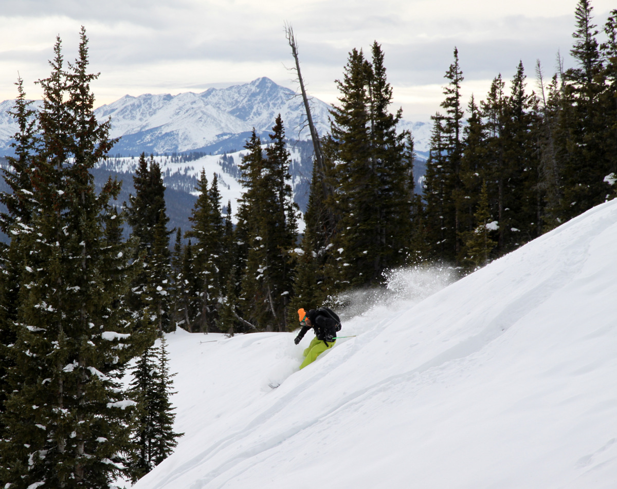
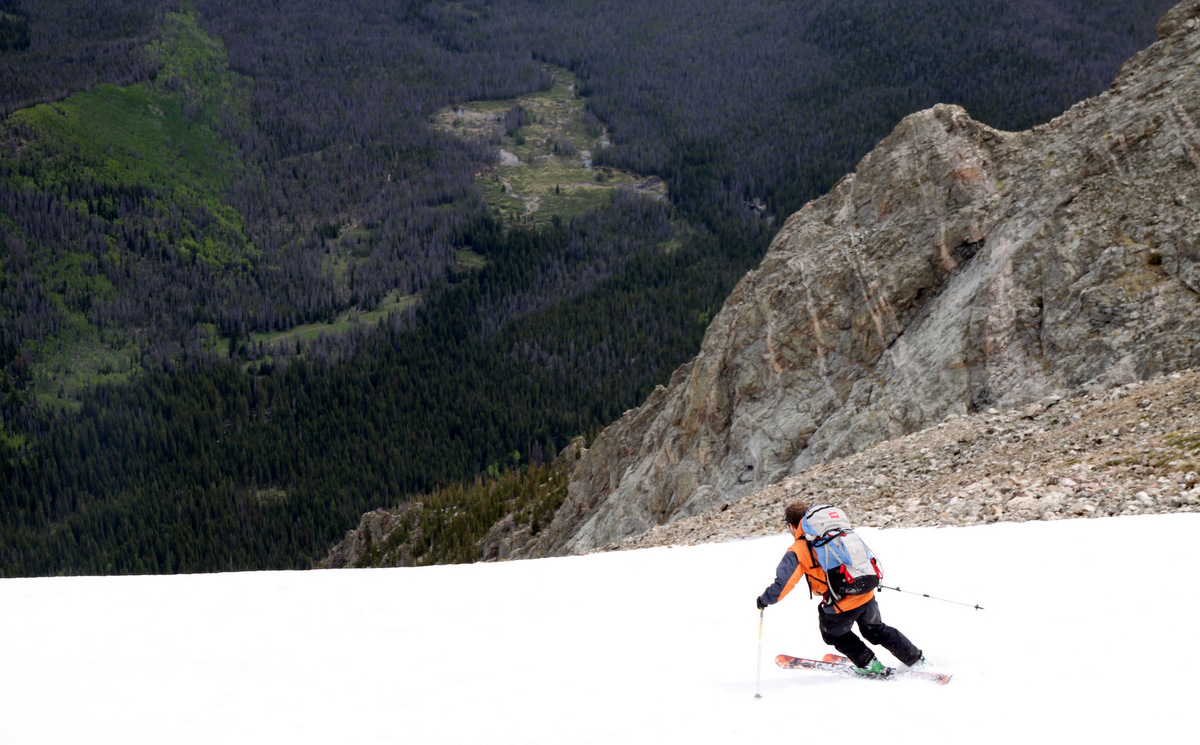
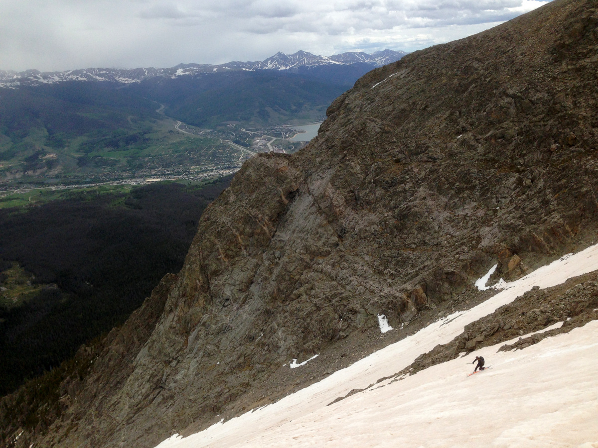
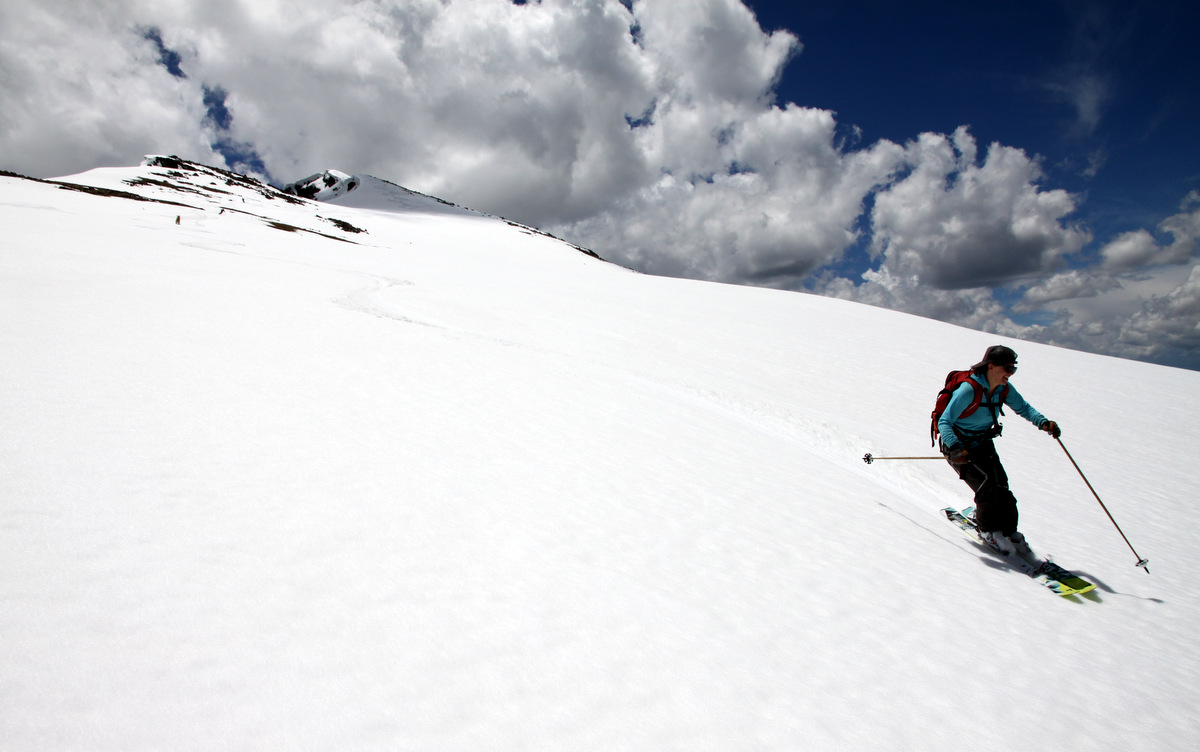
We then descended maybe around 12:45pm and the turns down the 1,400′ north ridge/face were just plain awesome. So enjoyable.
Joel getting ready to depart the summit
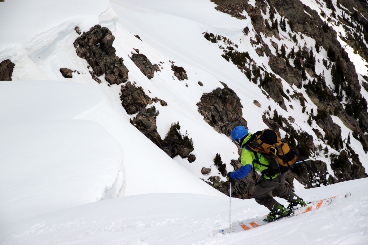
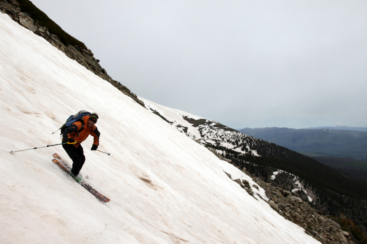
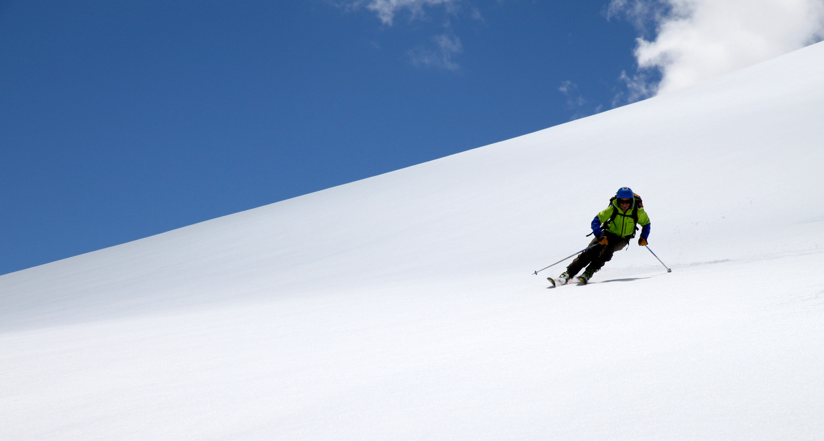
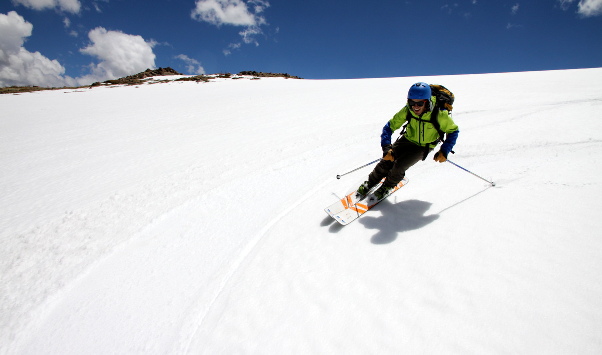
Joel skiing the steep headwall pitch
Panorama of me below the summit headwall pitch by Joel

Me, J, & Tamra way below. Photo by Joel
Joel took these videos of J and I skiing off the summit and then J and Tamra a bit lower down:
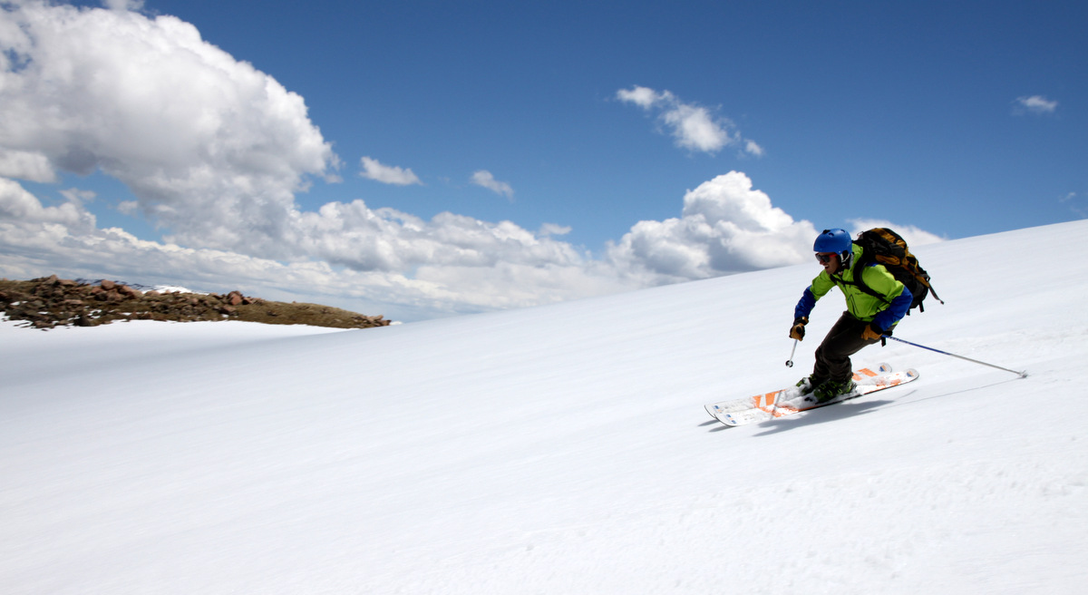
Most of the slope was only probably in the 20-25 degree range and was so much better than I imagined. With all of the warm temperatures as of late, I was expecting super sloppy deep snow. There was actually a firm base and creamy corn on the surface good enough to slice through like butter. A majority of the steeper lines all around the state have seemed to wet slide in the last week or so (from what I gather) and still remain a hazard with the warm temperatures and very little overnight freezing. So, it was nice to get on a moderate slope that would take an earthquake to avalanche.

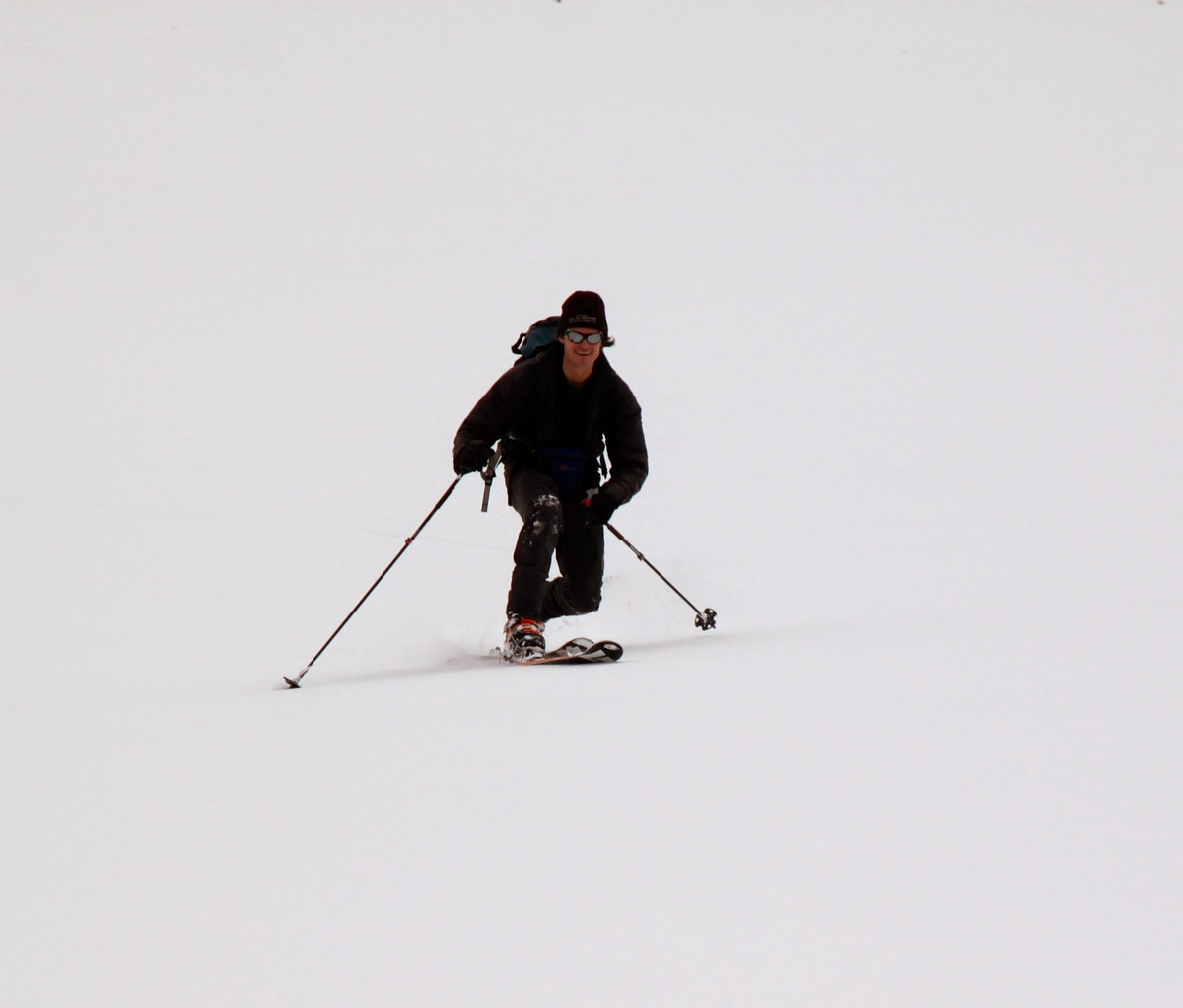
Joel
Joel again
And, Joel again

J & myself. Photo by Joel

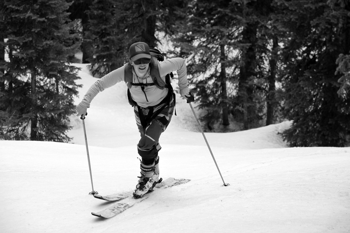
Tamra
Tamra again
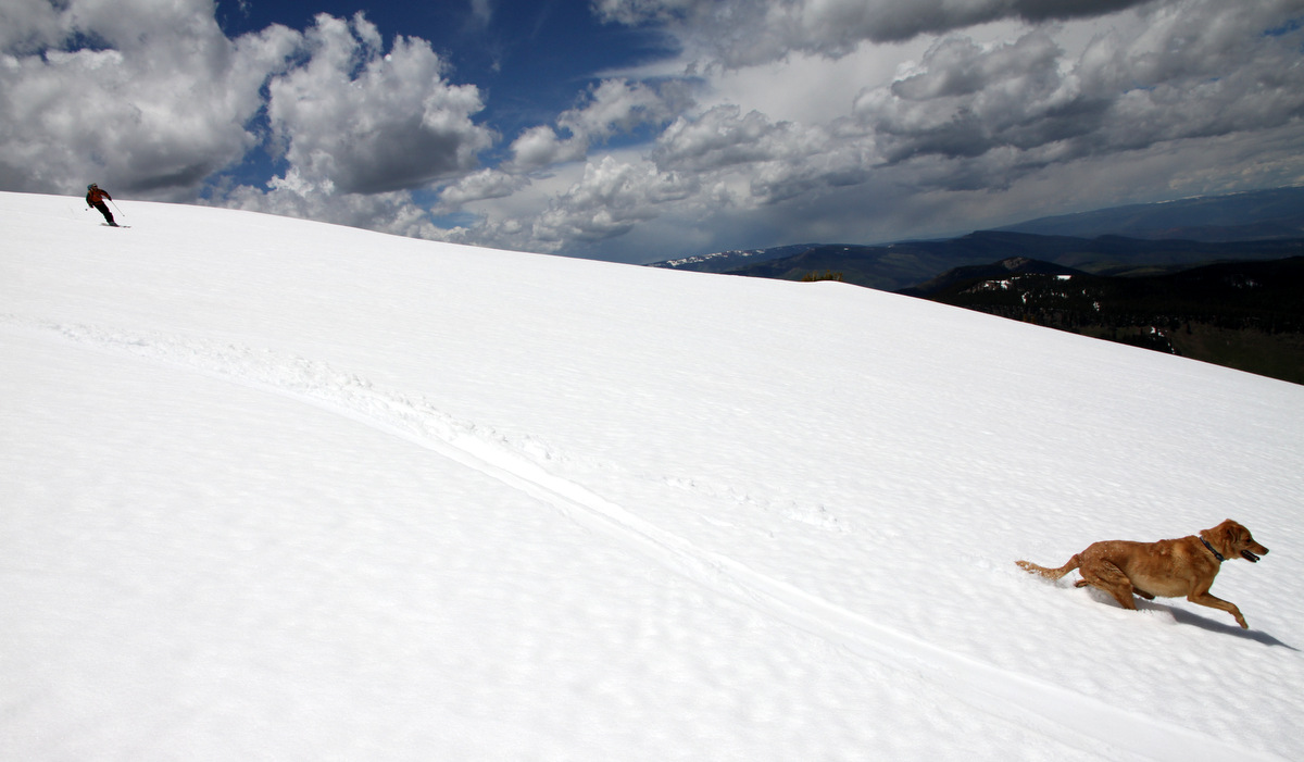
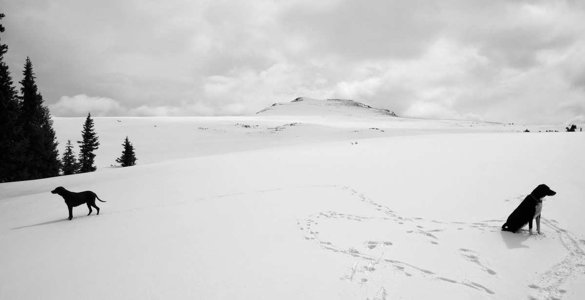
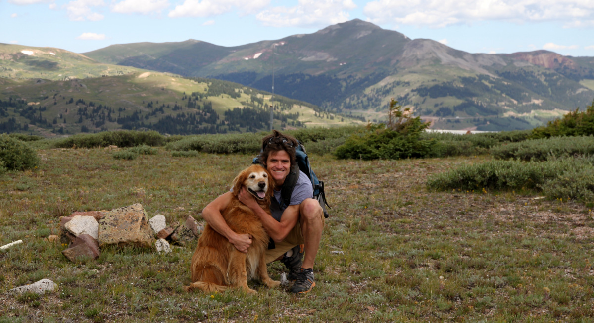
J & Gus
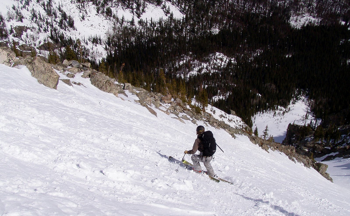
Joel skiing the north ridge/face
Doesn’t look like this guy is having fun at all 🙂
A plug for Mr. Gratz. Photo by Joel
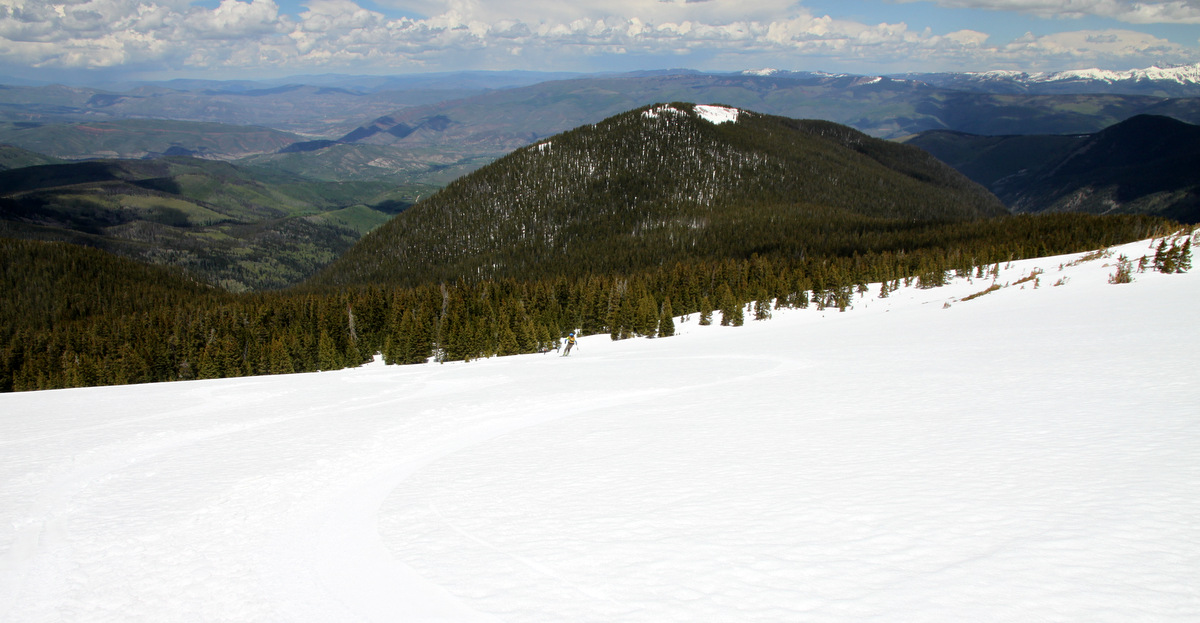
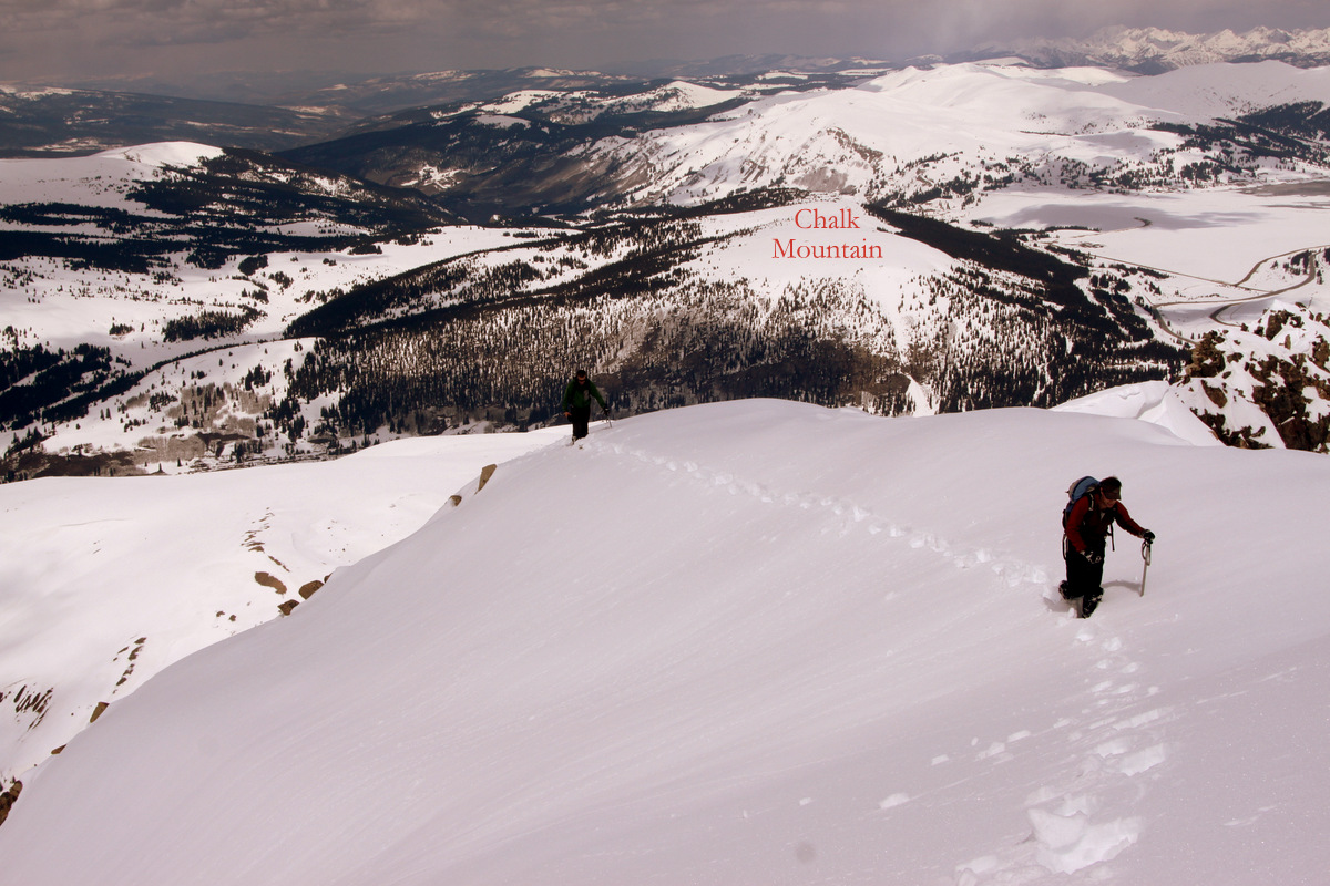
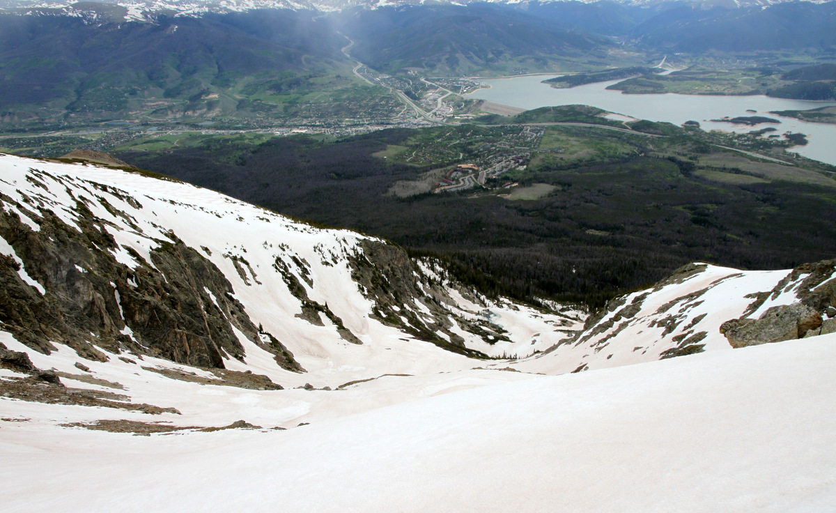
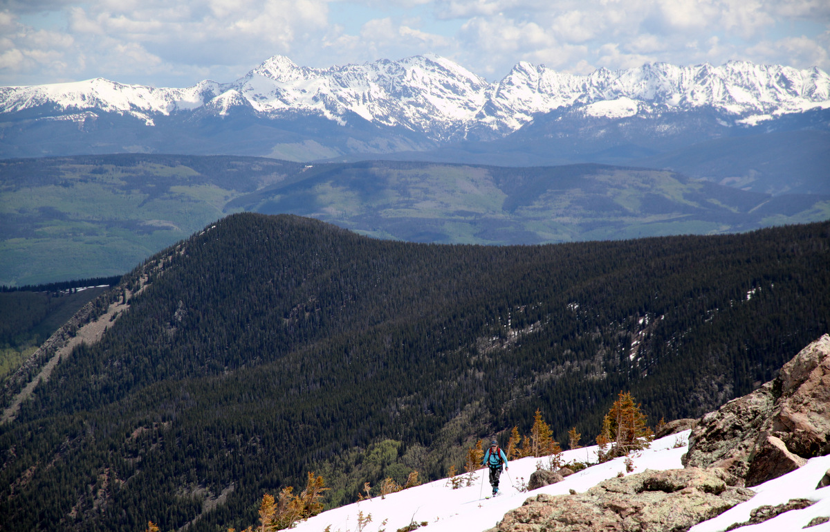
The last bit to treeline. Snowslide Park is the summit in the distance with the snowy top
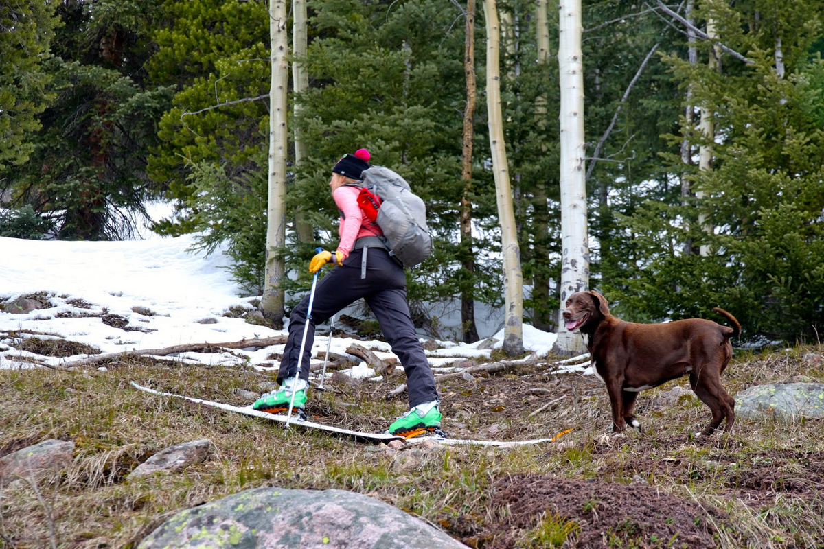
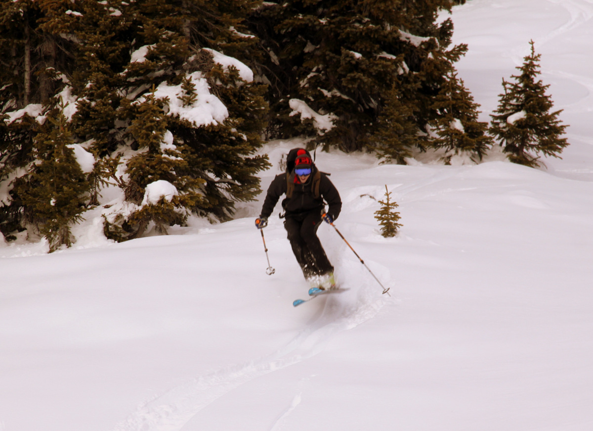
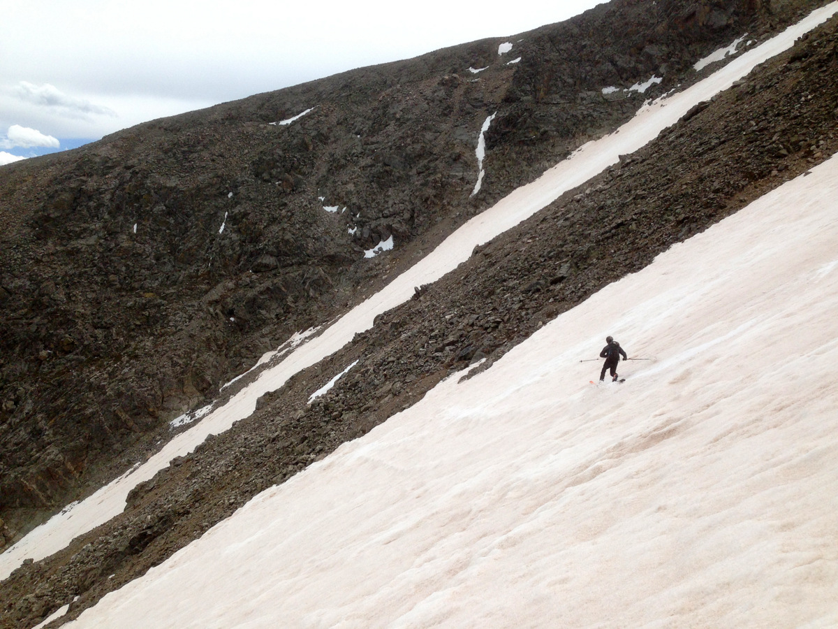
Once we returned to treeline, the skiing got a bit worse and punchier, but still definitely skiable all the way down to about 10,500′ where we started the snowdrift post-holing along the steep north-facing Middle Lake trail. J noticed something in the woods and I should have remembered he’d go nuts at the small little disheveled cabin near where we put our skis/skins on our feet that I had seen a few years ago. He always goes “kookoo” for abandoned backwoods cabins.
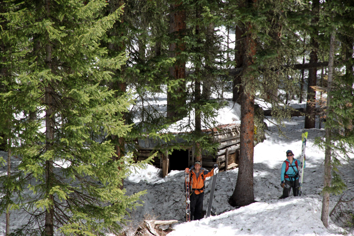
J, Gus, Tamra, & the abandoned cabin
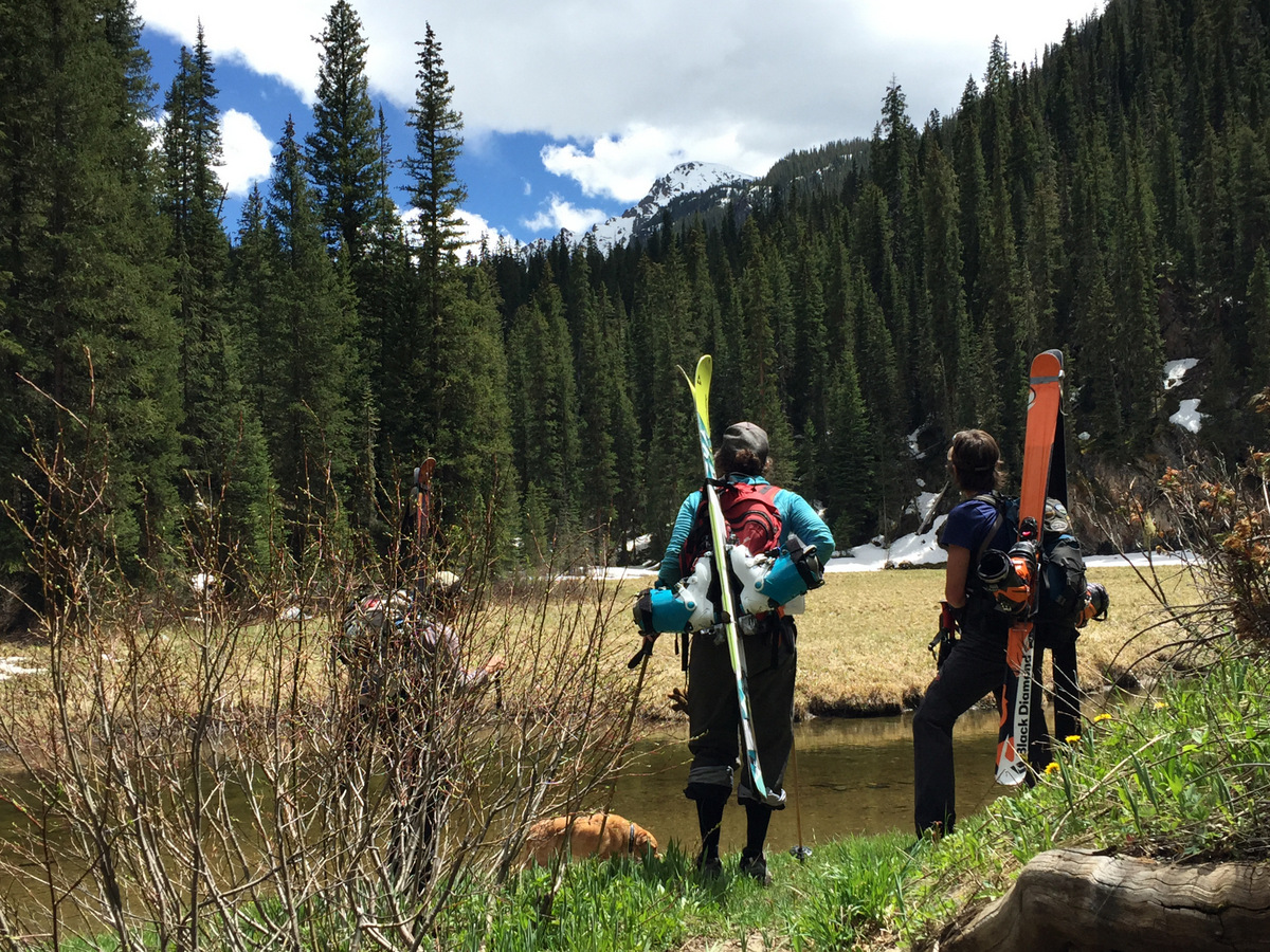
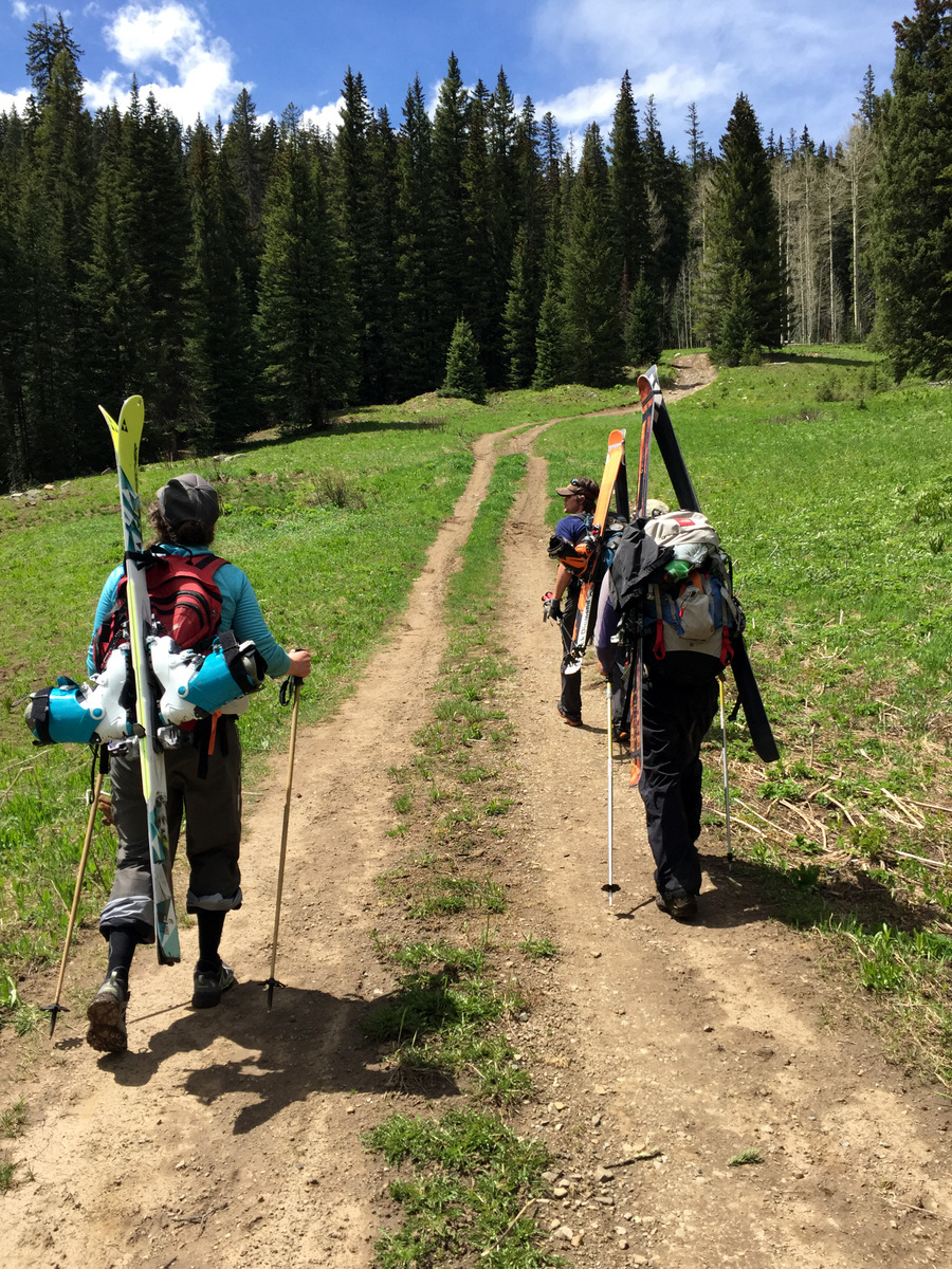
Tamra actually skied the hiking trail’s drifts a lot of the way down. Of course Tamra did. We then arrived back at the Middle Lake trailhead and started the 1.25 mile back up the West Lake Creek Road to my truck finally arriving around 3pm.
Looking up at New York Mountain from the Middle Lake trailhead. Photo by Joel
On the road again. Photo by Joel
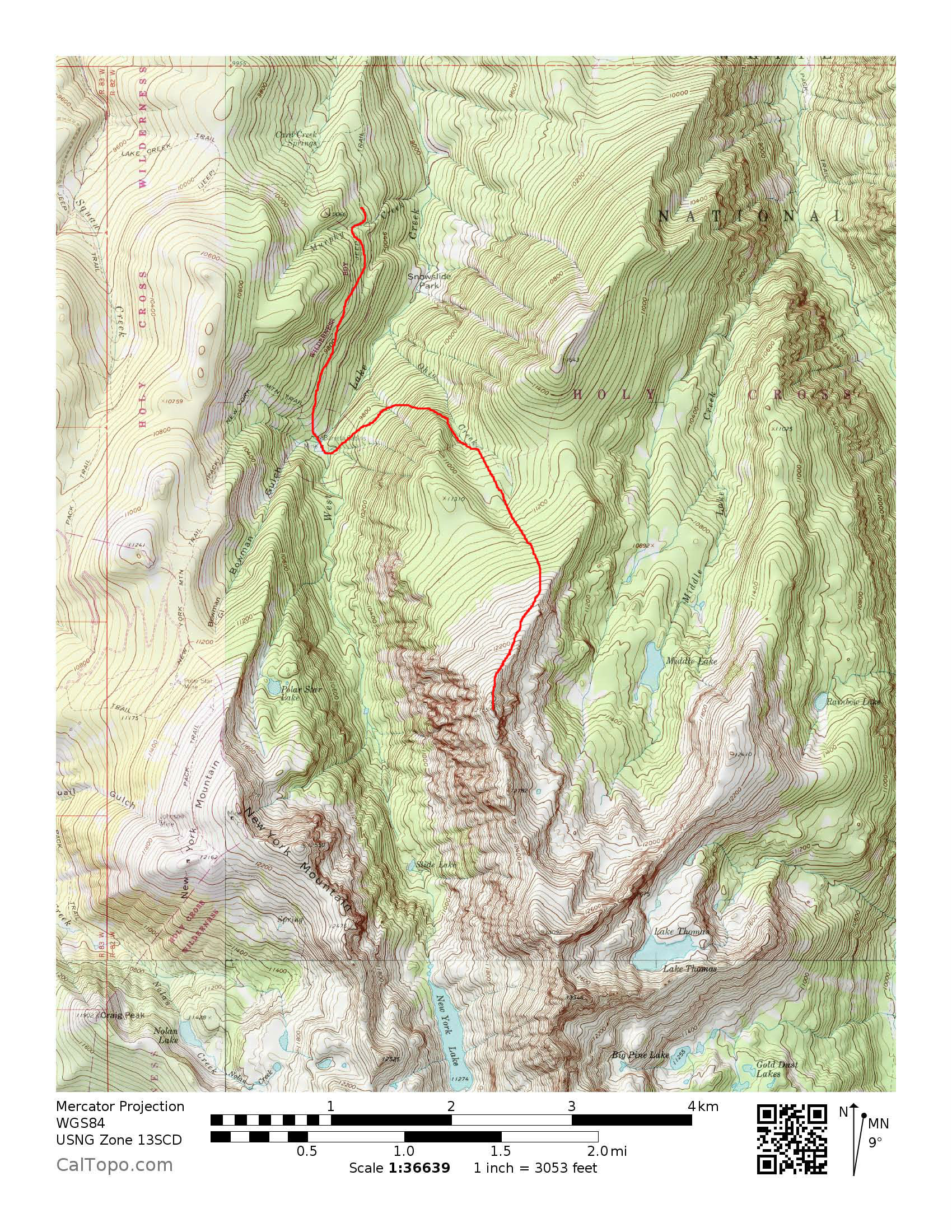
A look at our route for the day from where we parked on the West Lake Creek (Baryeta Cabin) Road
Some of the best gems in life you can find in your own backyard. I think we may have found one here in terms of fun adventure and moderate skiing. And, we didn’t even have to get on Interstate 70 to do so. It was a very enjoyable day for all. All told per Joel, it was around a 3,500′ vertical gain day in about 9 miles roundtrip. One thing I did learn – Gus likes Rainie’s front seat view of bumping along on 4WD roads:

Photo by Joel
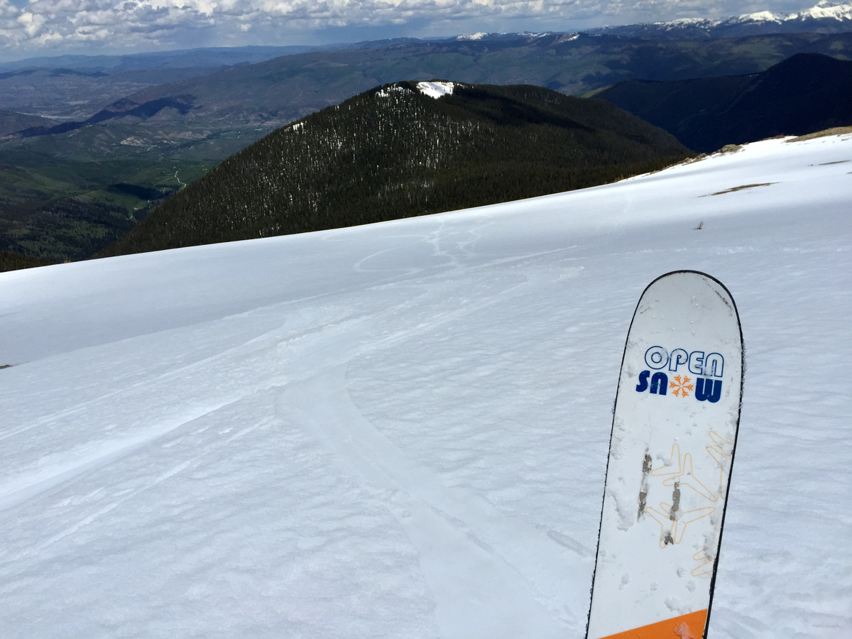
A little link to Joel’s take and his daily weather forecast over on OpenSnow is http://opensnow.com/dailysnow/colorado/post/4105.
 Follow