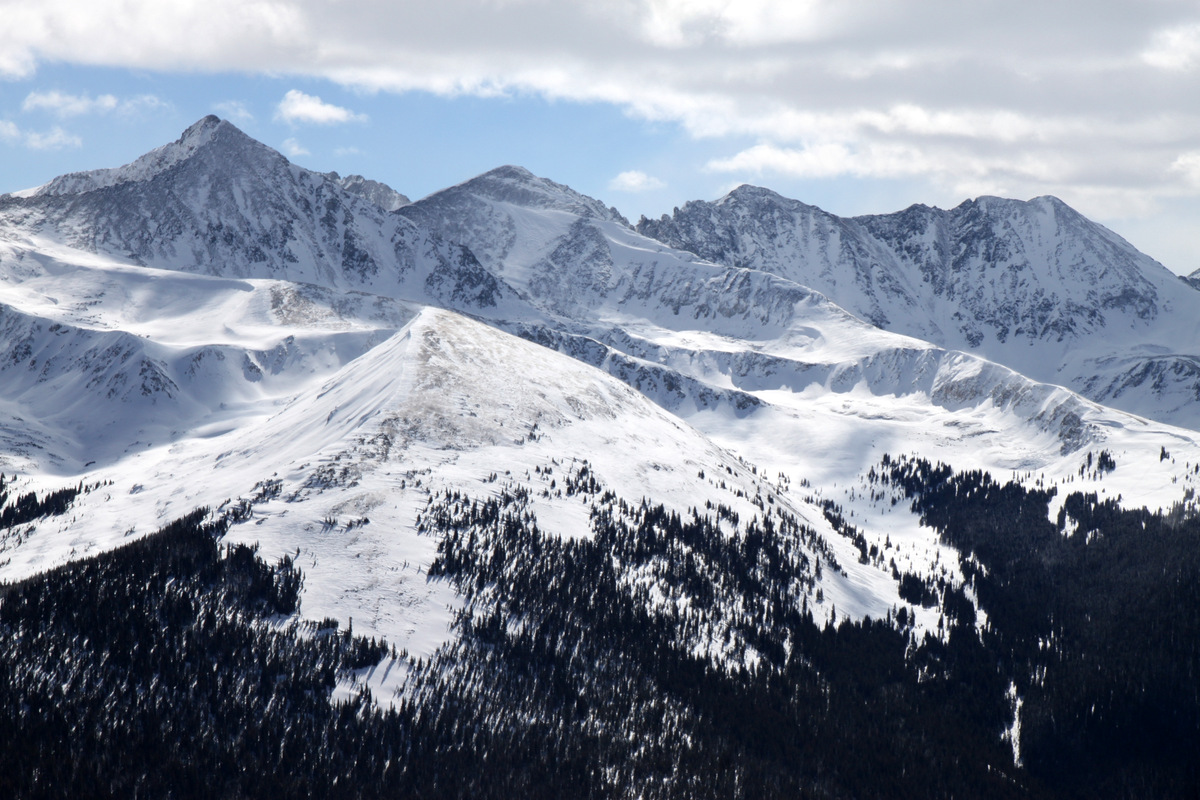
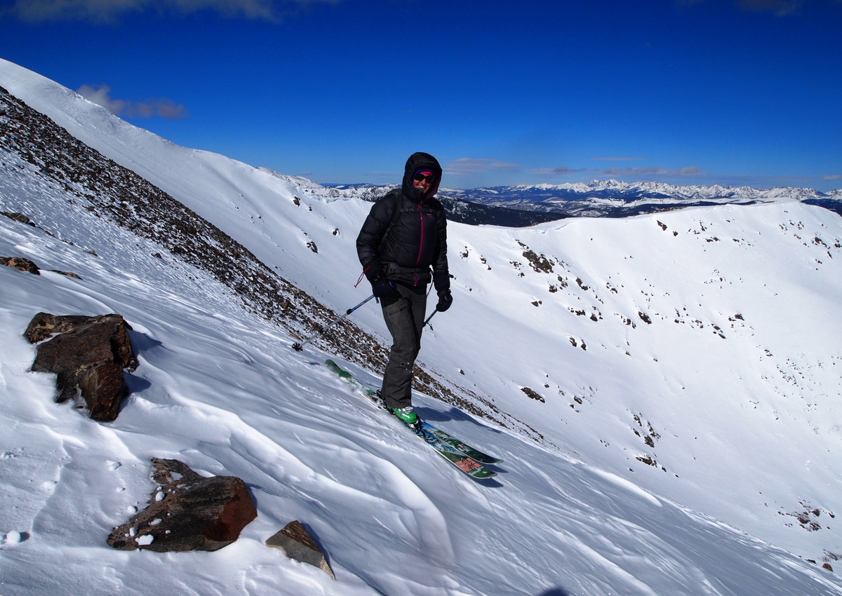
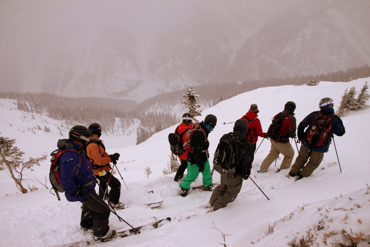
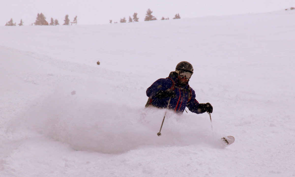
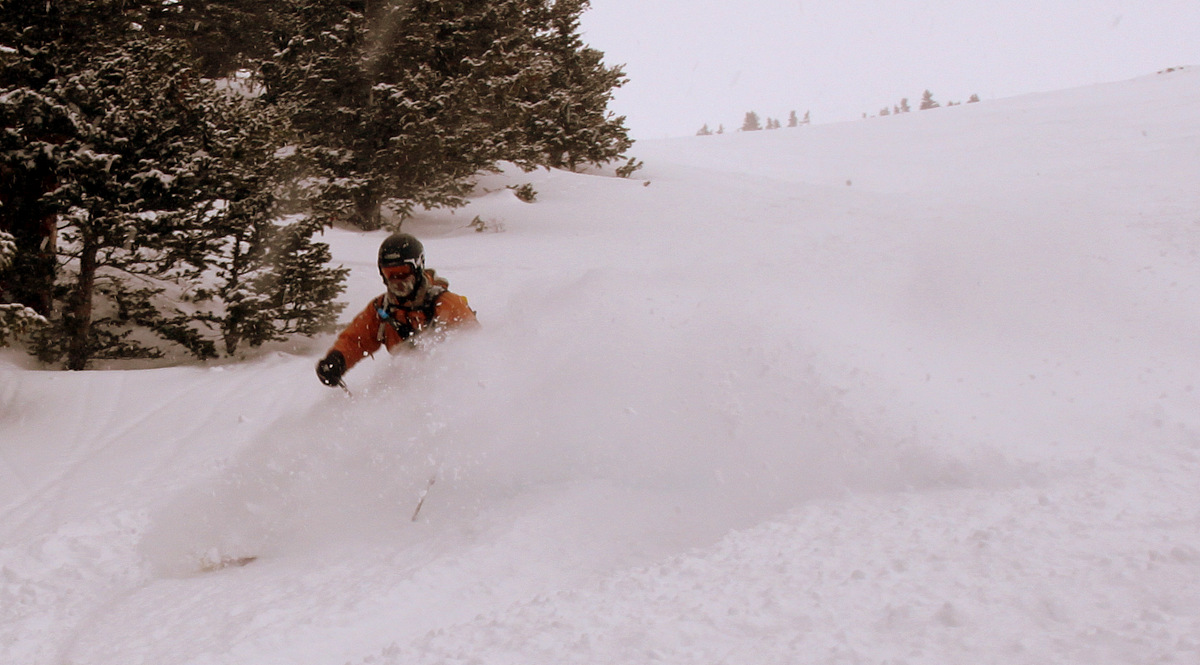
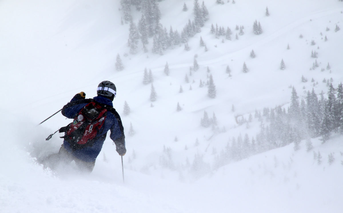
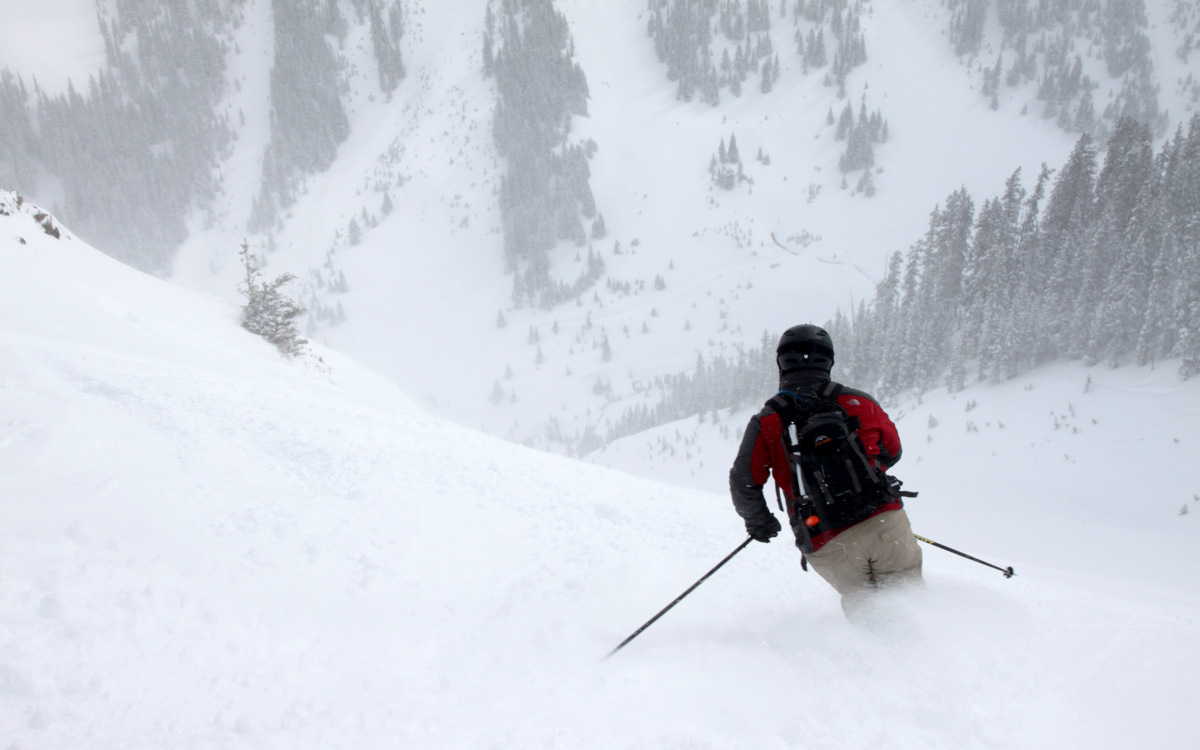
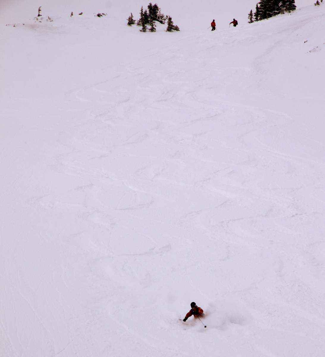
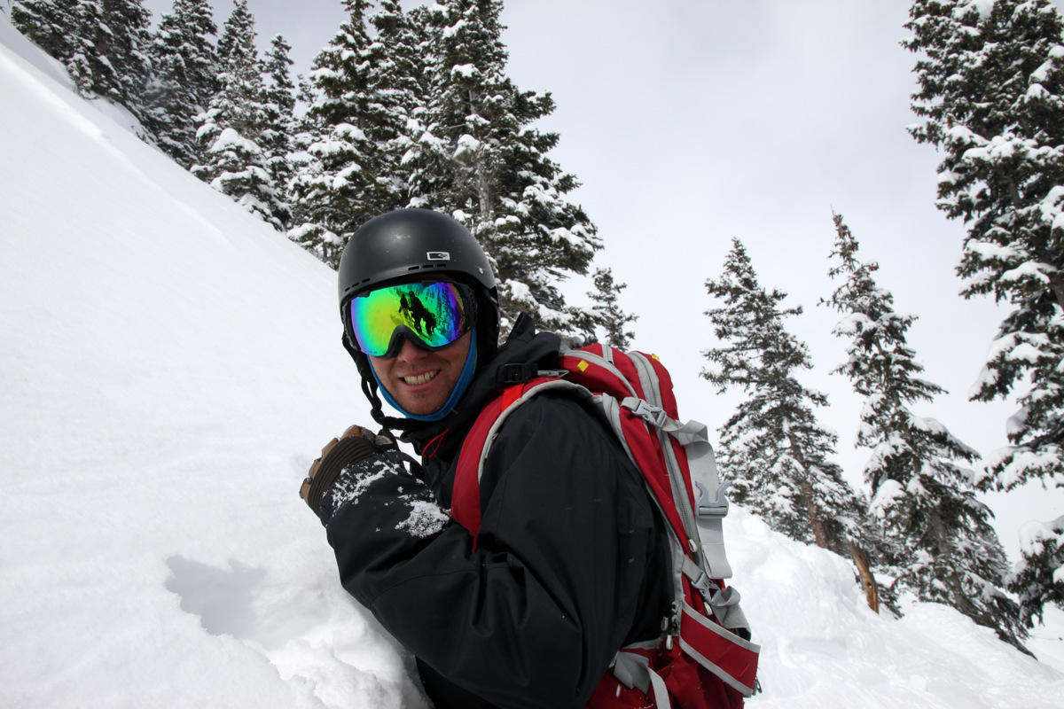
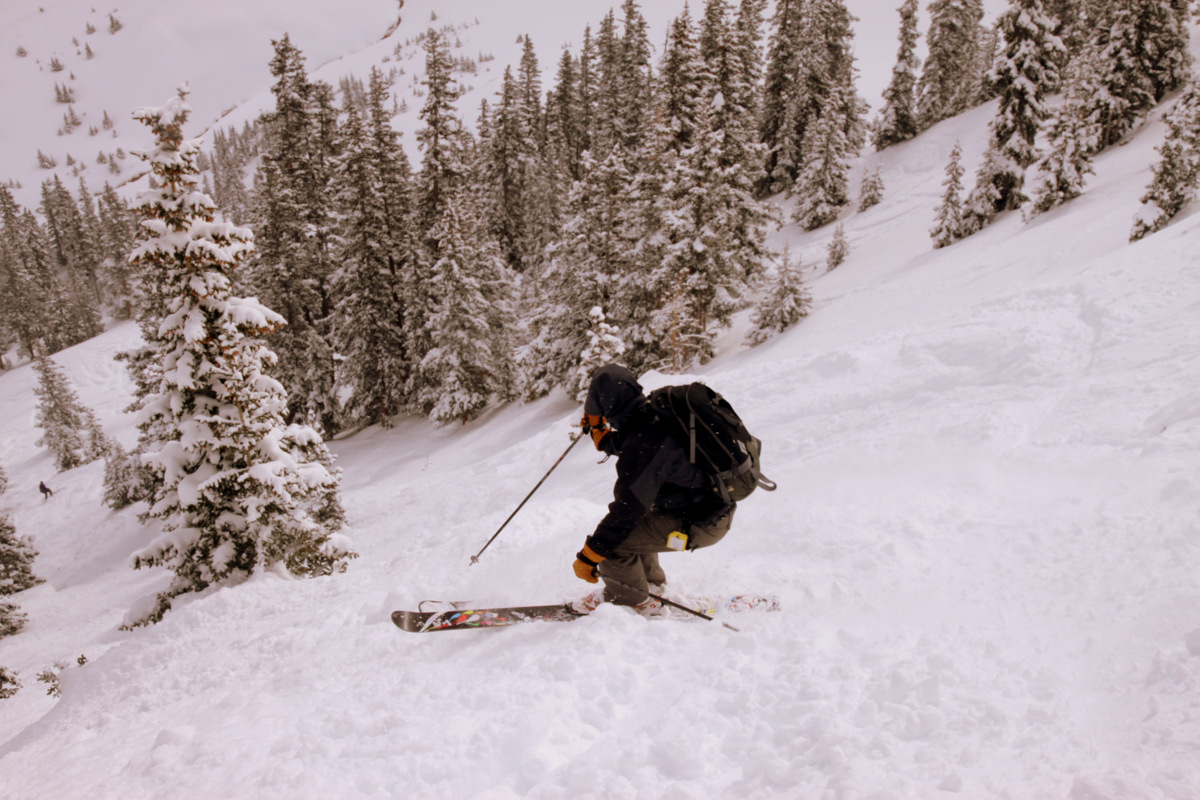
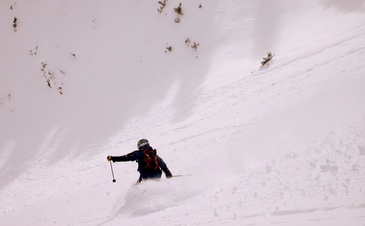
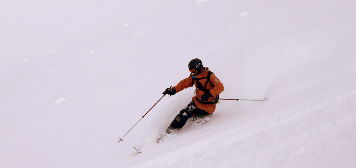
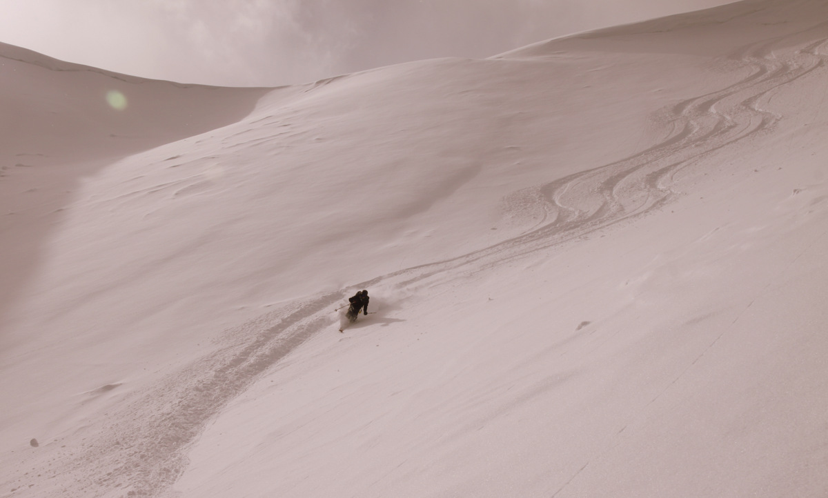
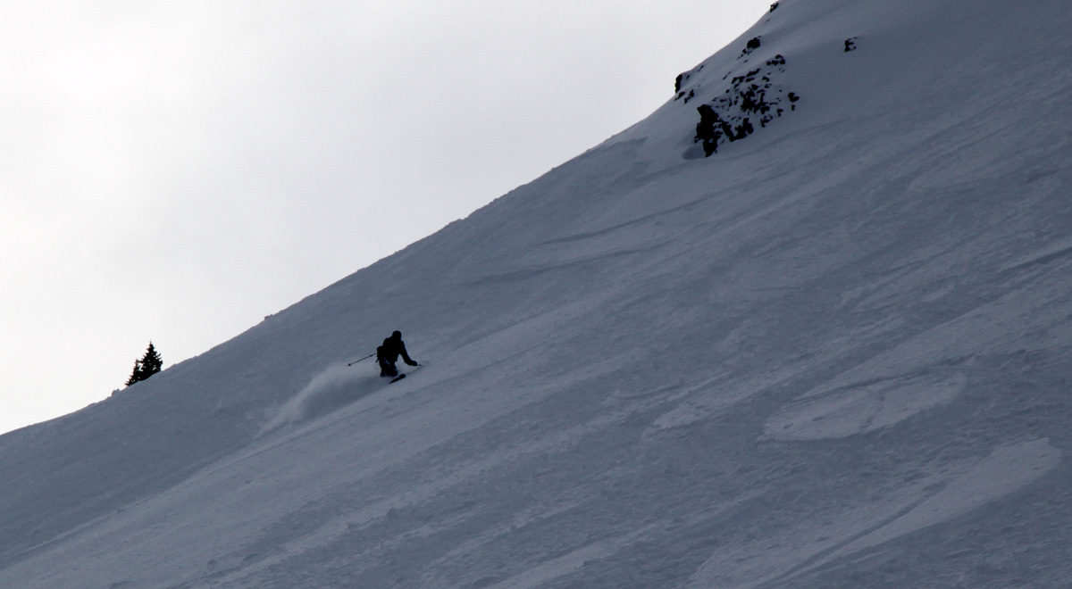
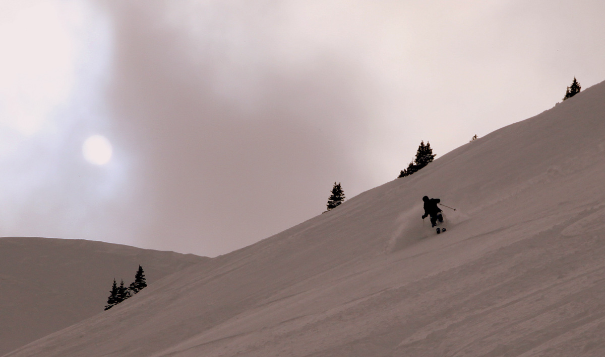
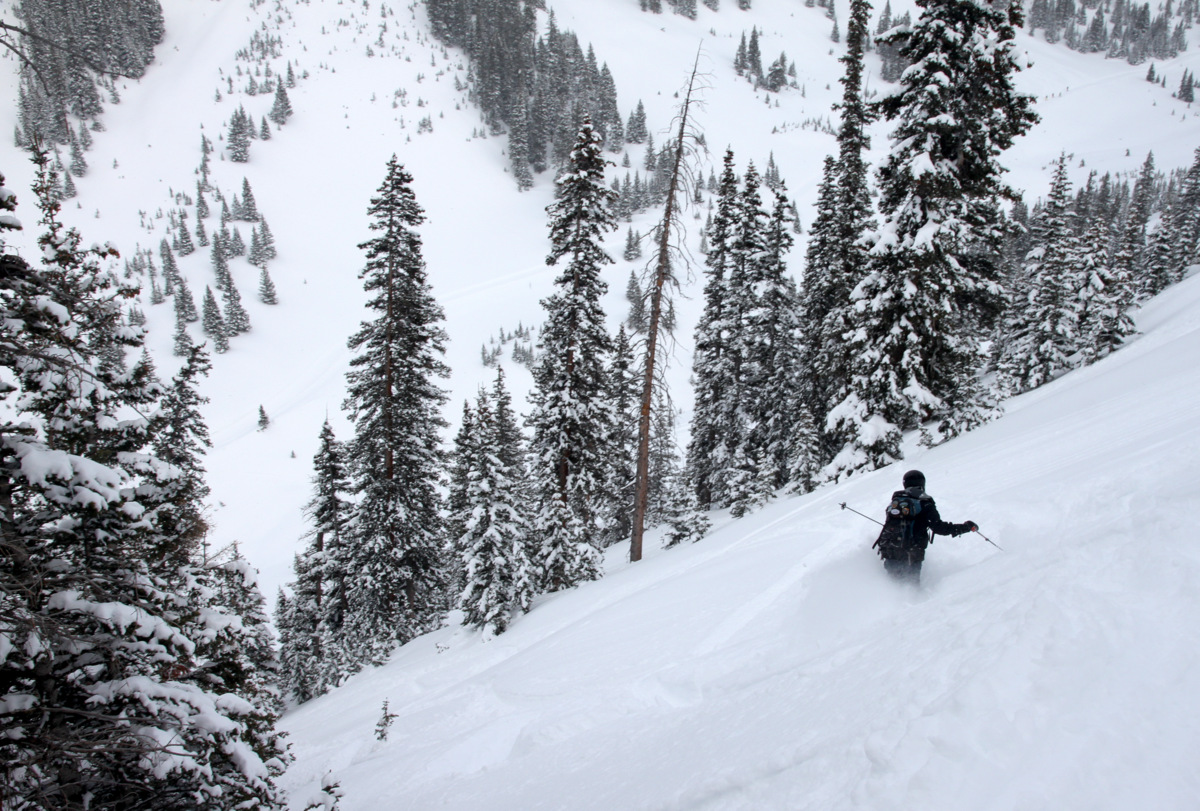
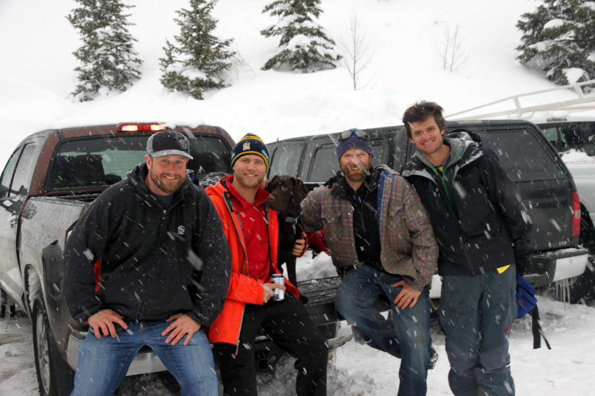
It sure is tough to come back to work and sit at a desk after the best powder days I believe I have ever had in my life. Now I’m no hard core ski fanatic, but I’ve done my fair share of powder skiing and this past weekend at Silverton Mountain was at the top of the list for myself as well as for about everyone in our Silverton crew. The guides down in Silverton even said it was the best weekend at Silverton Mountain in 3 years. I know the previous two years definitely were not high snow years, but still 3 years is 3 years. We just hit it right. Our good friend Gavin Chapman who works for Rocky Mountain Trane company in Denver takes a crew of our small engineering office every year to Silverton for some great camaraderie and good skiing. We even planned this weekend months in advance and boy did we luck out with the conditions. I believe the mountain got somewhere between 3 feet of snow between Thursday night and Sunday morning. At least it felt like that much! It was an extremely solid crew and Gavin is a true superstar for loving backcountry skiing and powder skiing as much as we all do (and skiing it better than most of us) and for treating us to an awesome weekend in Silverton. All of our thanks, Gavin! It sure would be tough to top this past weekend, but I know we are all so looking forward to next year! Also, thanks to Shockley, our guide, for an outstanding 2 days of guided skiing and good laughs. Shockley also understood my desire to photo document our crew in these powder conditions and he really helped me out in advising me on good positions for photo opportunities. Instead of trying to be so specific in labeling all of the Silverton Mountain runs we skied (I have no idea what runs are what), Im just going to post a photo report of our weekend in Silverton. Hope you enjoy the pics!
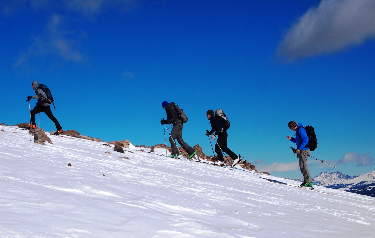
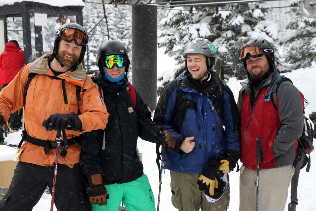
Saturday late afternoon tele crew. Left to right: Shockley, Gavin, Jake, Zac, & myself
Zac on his teles
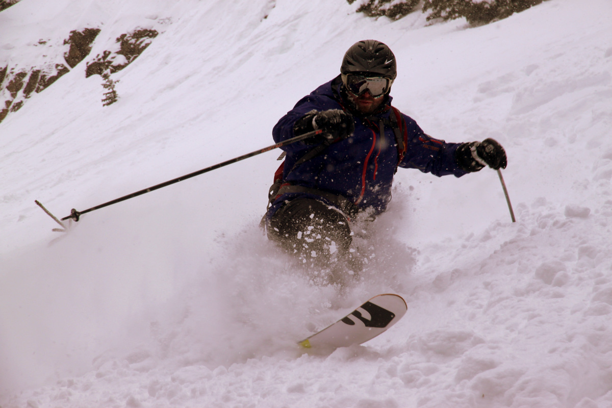
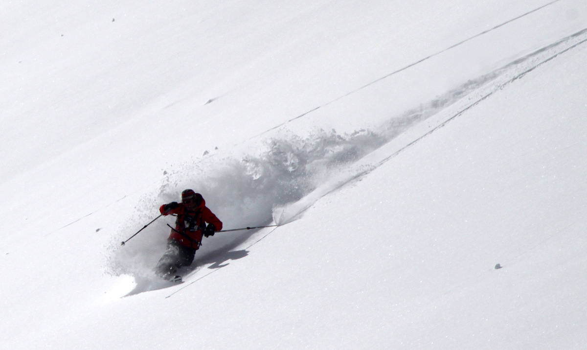
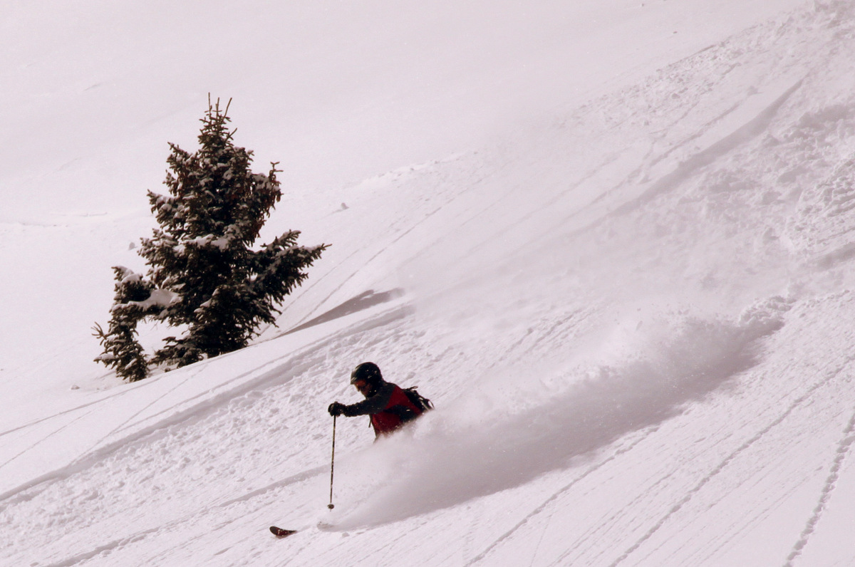
Gavin dropping the knee
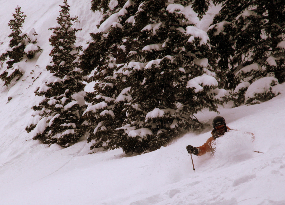
Jake in the trenches
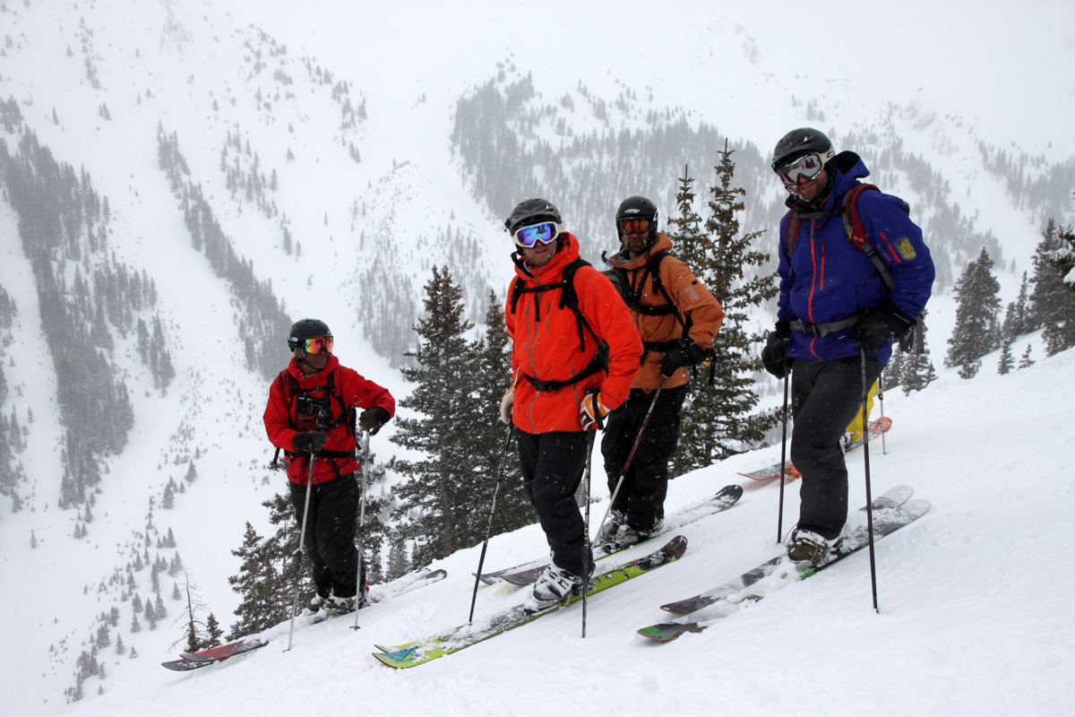
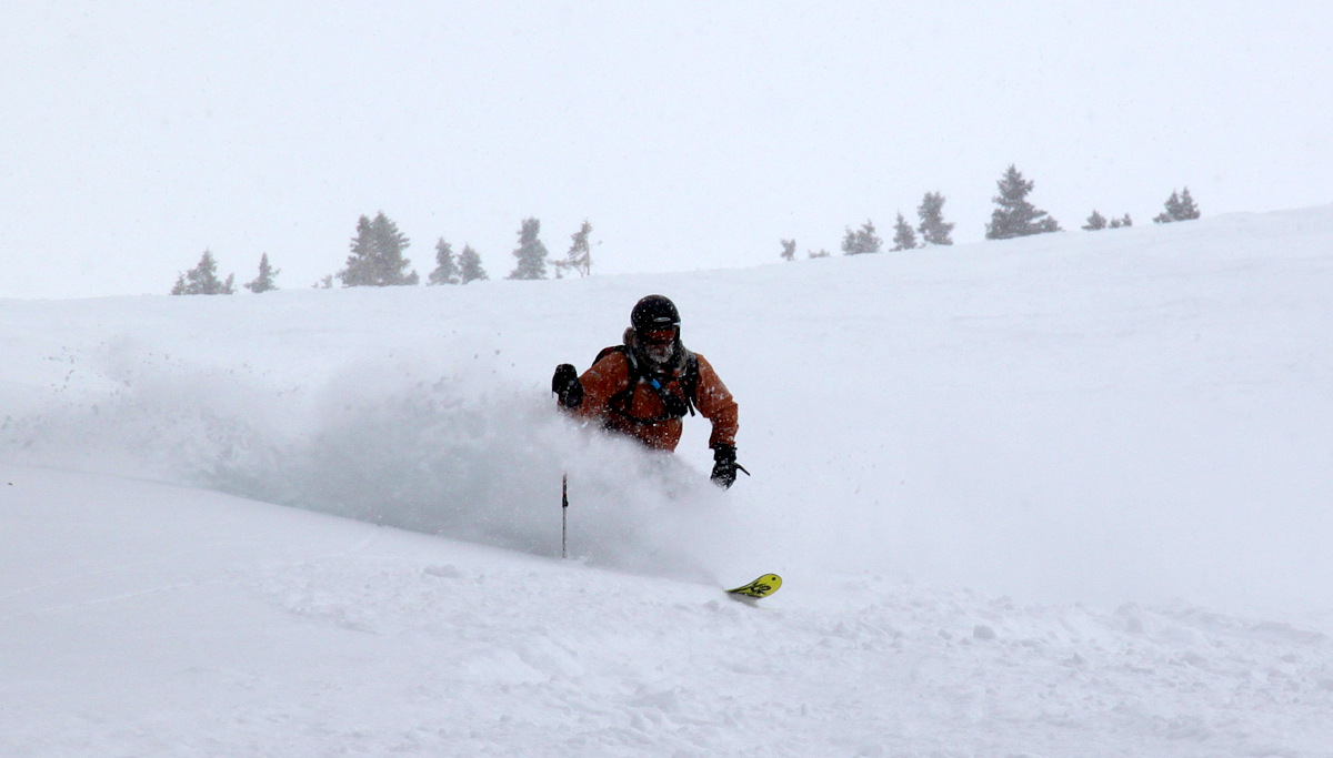
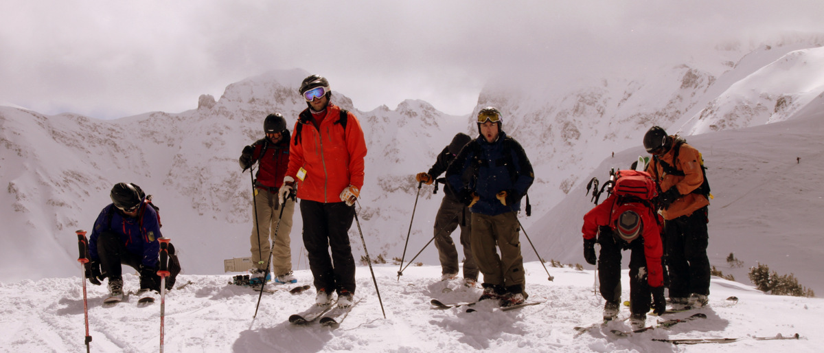
Sunday morning. Left to right: Jake, Mike, Eric, & Nick
Shockley explaining the route
Nick
Eric
“Zac attack!”
Mikey
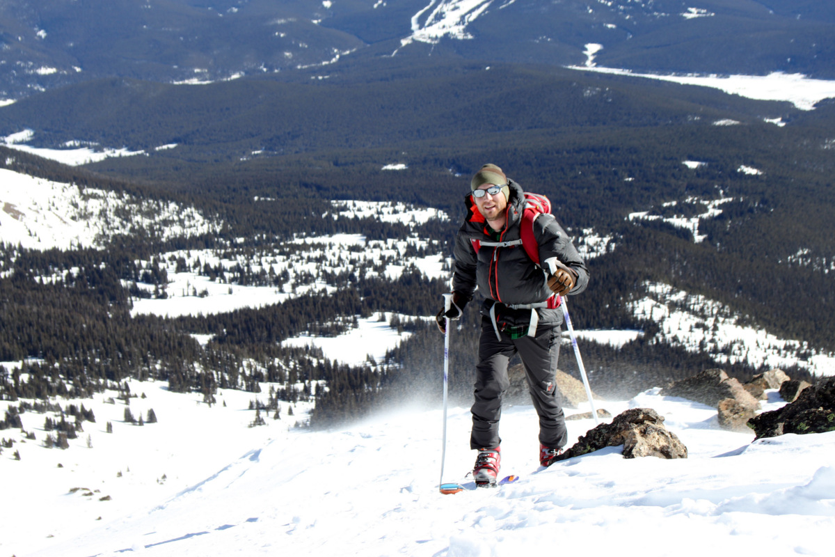
Gavin
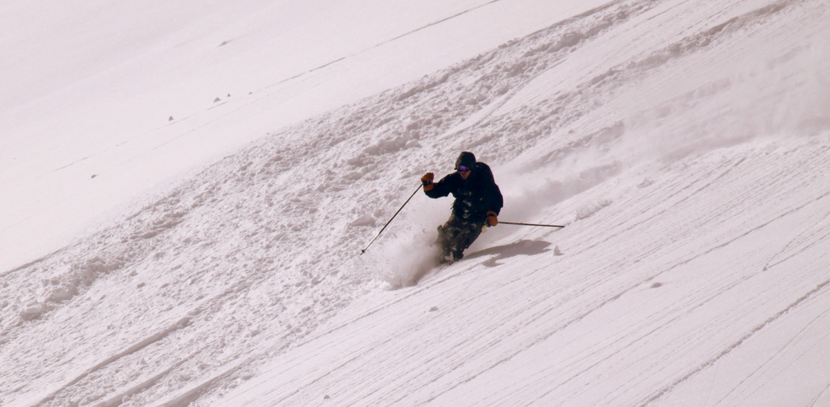
Jake
Jake
Jake & Zac brawl waiting for the bus back to the lift
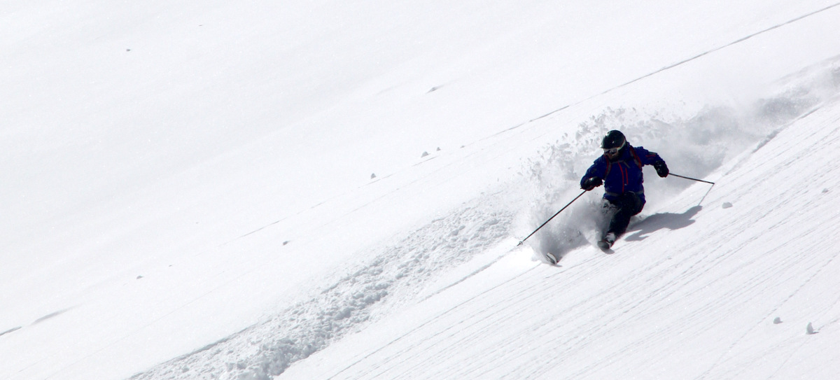
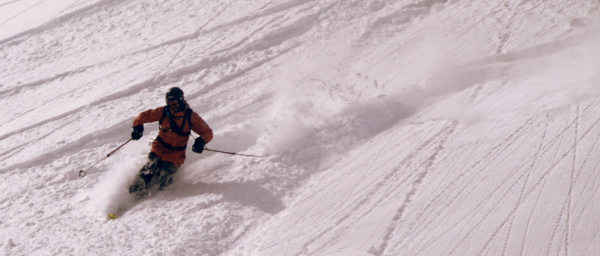
Eric cruising
Nick in good form
Jake
Nick and clearing skies
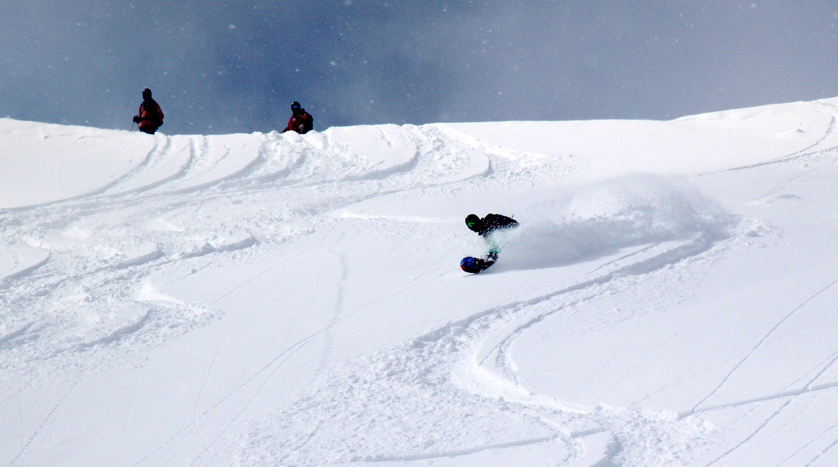
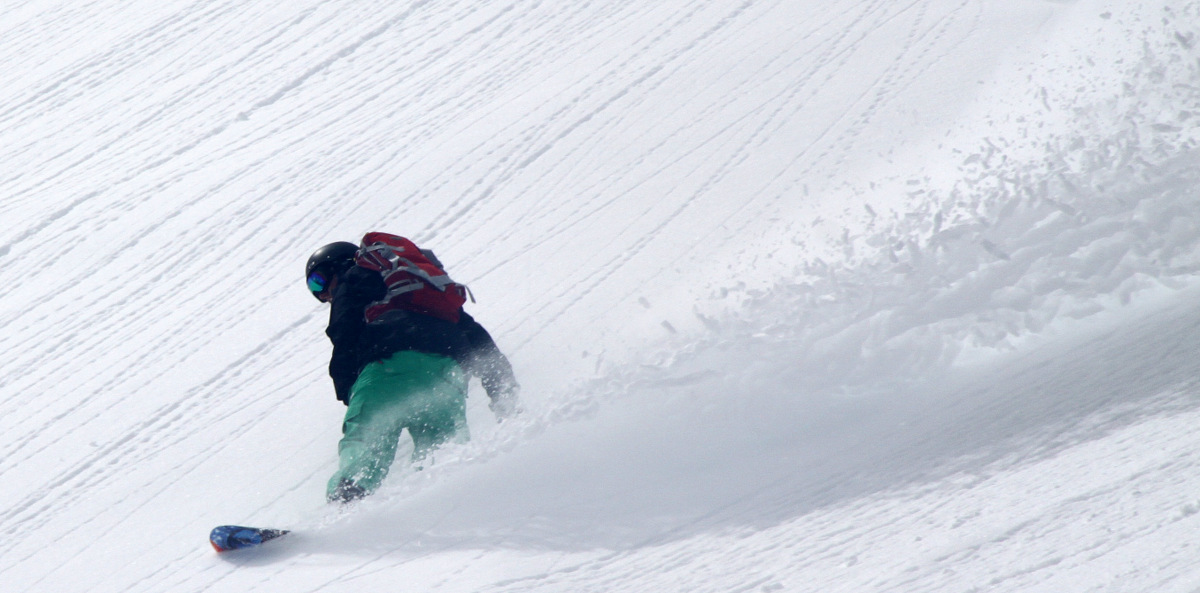
The lone boarder, Mikey
Taylor
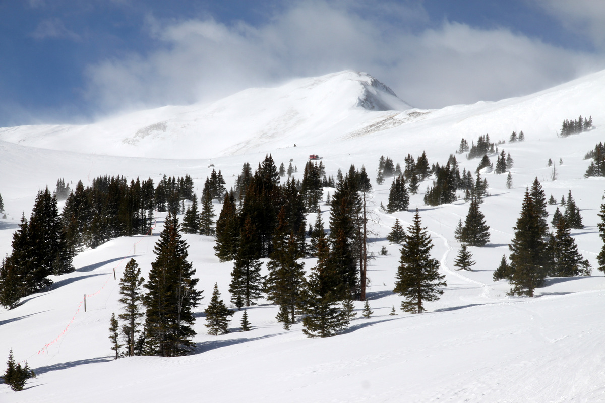
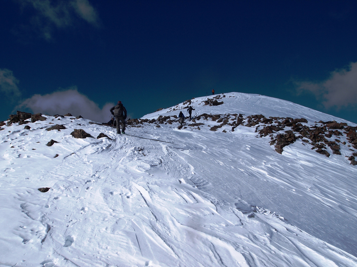
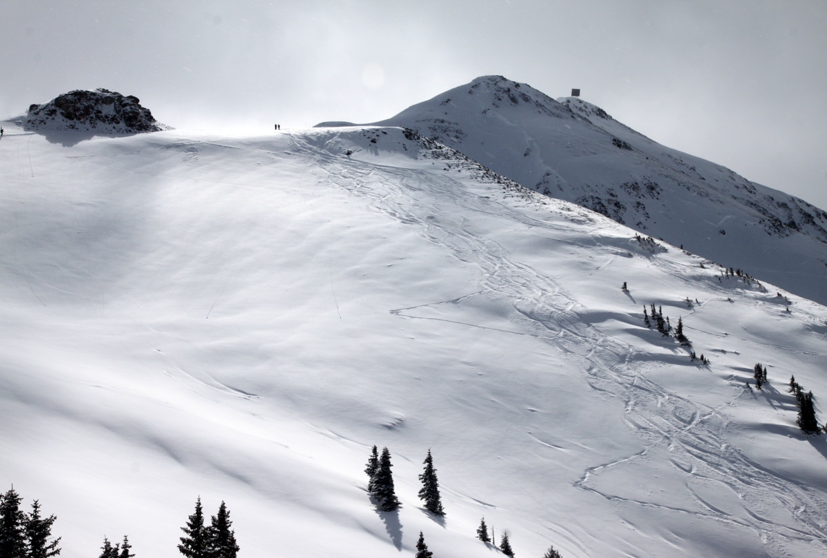
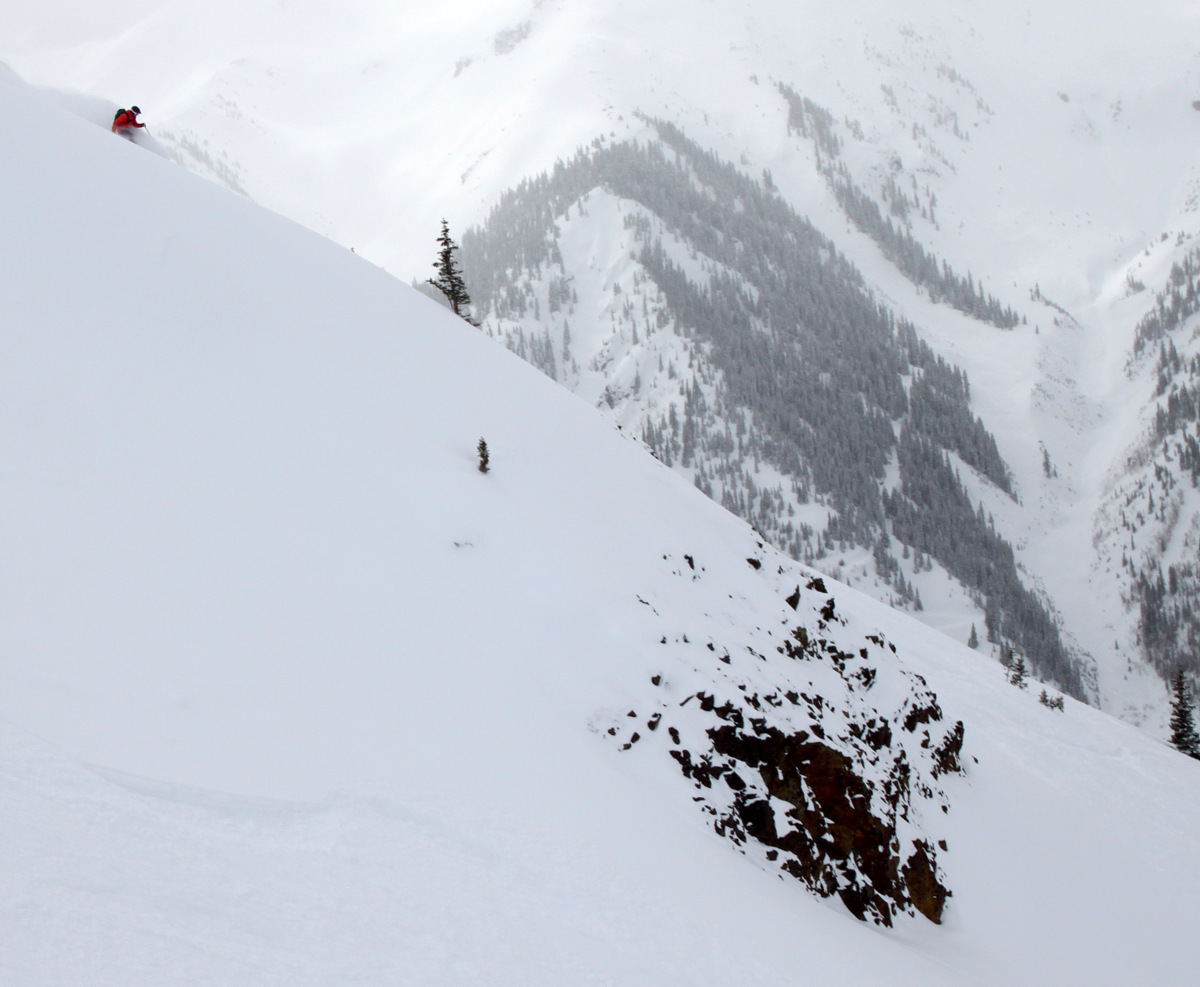
Gorgeous terrain
Strapping in for run #3 on Sunday, I believe
Mikey walking the ridge
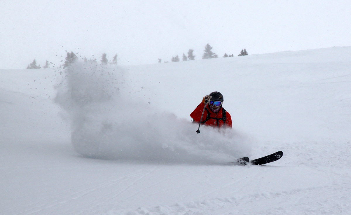
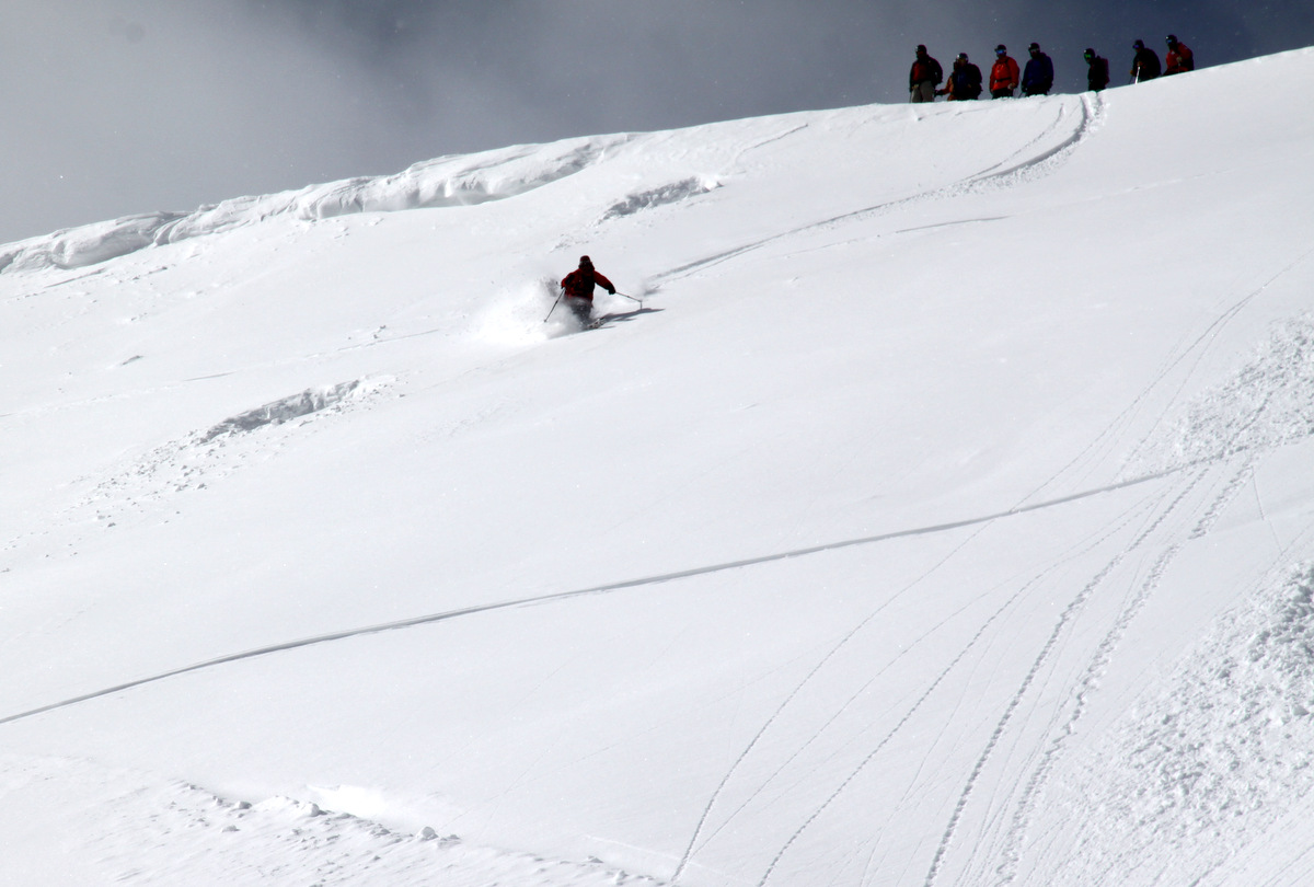
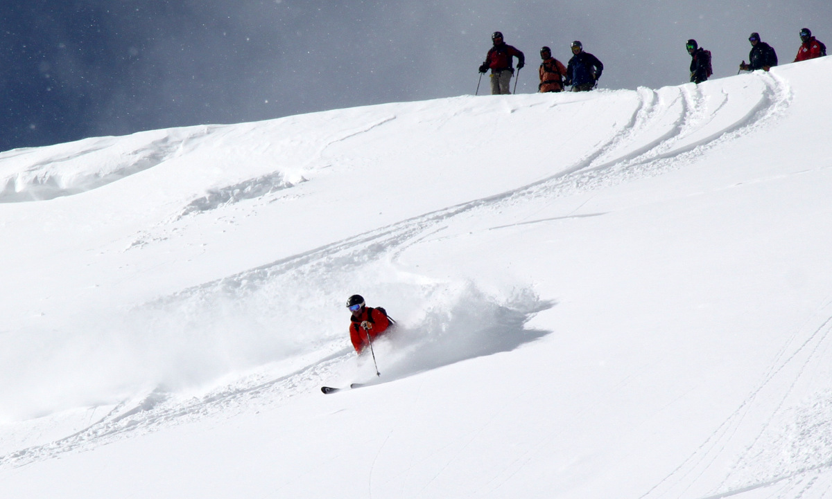
Shockley laying down tracks
Shockley
Gavin
Zac
Zac and a view
Nick
Taylor
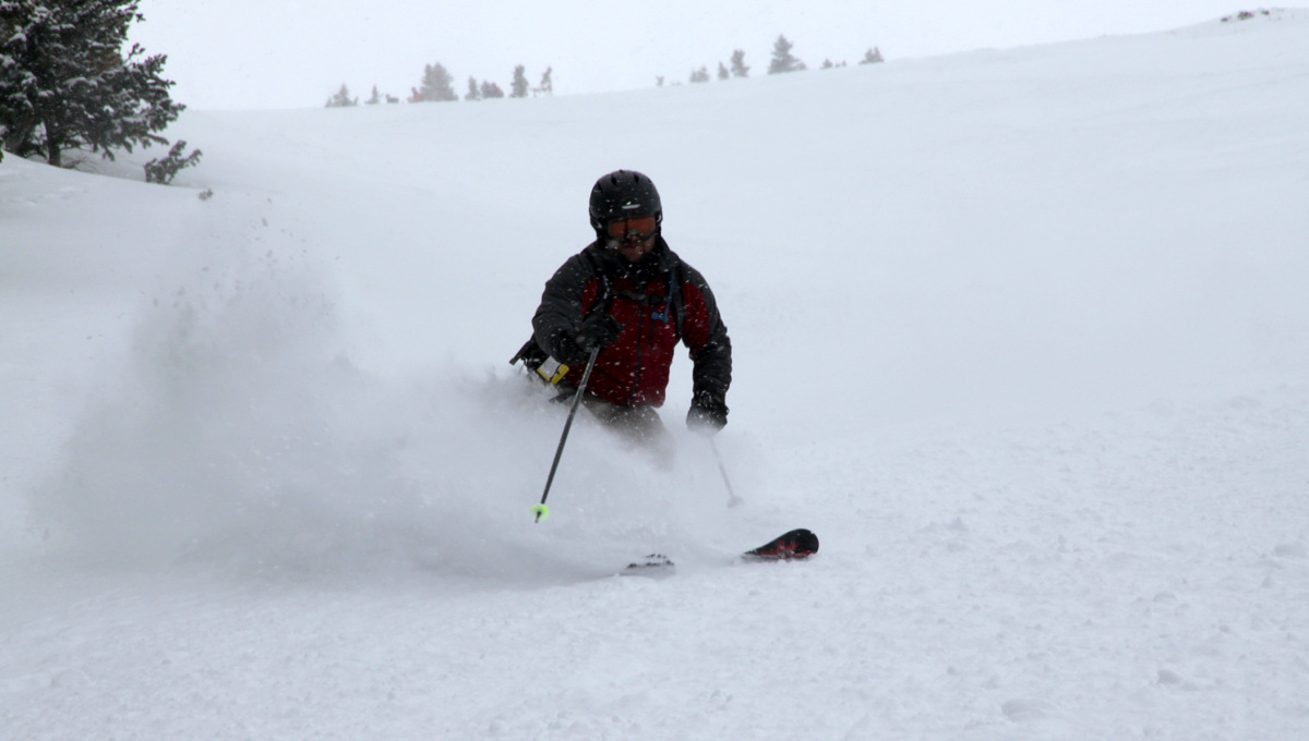
Mike
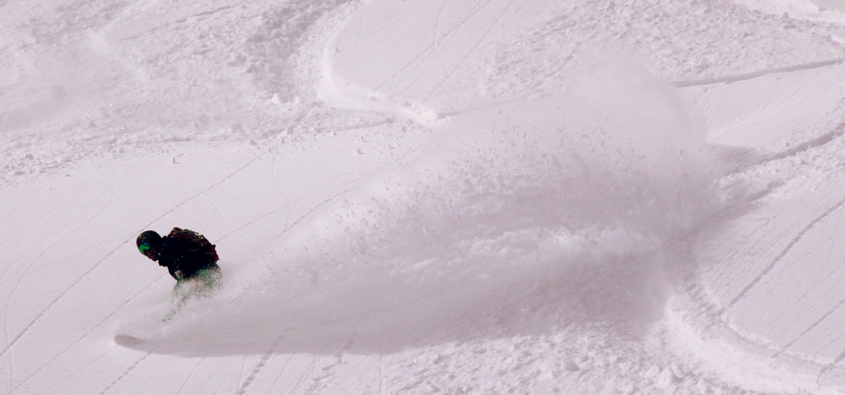
Mike with a heck of a spray
Mikey
Jake can telemark
Zac
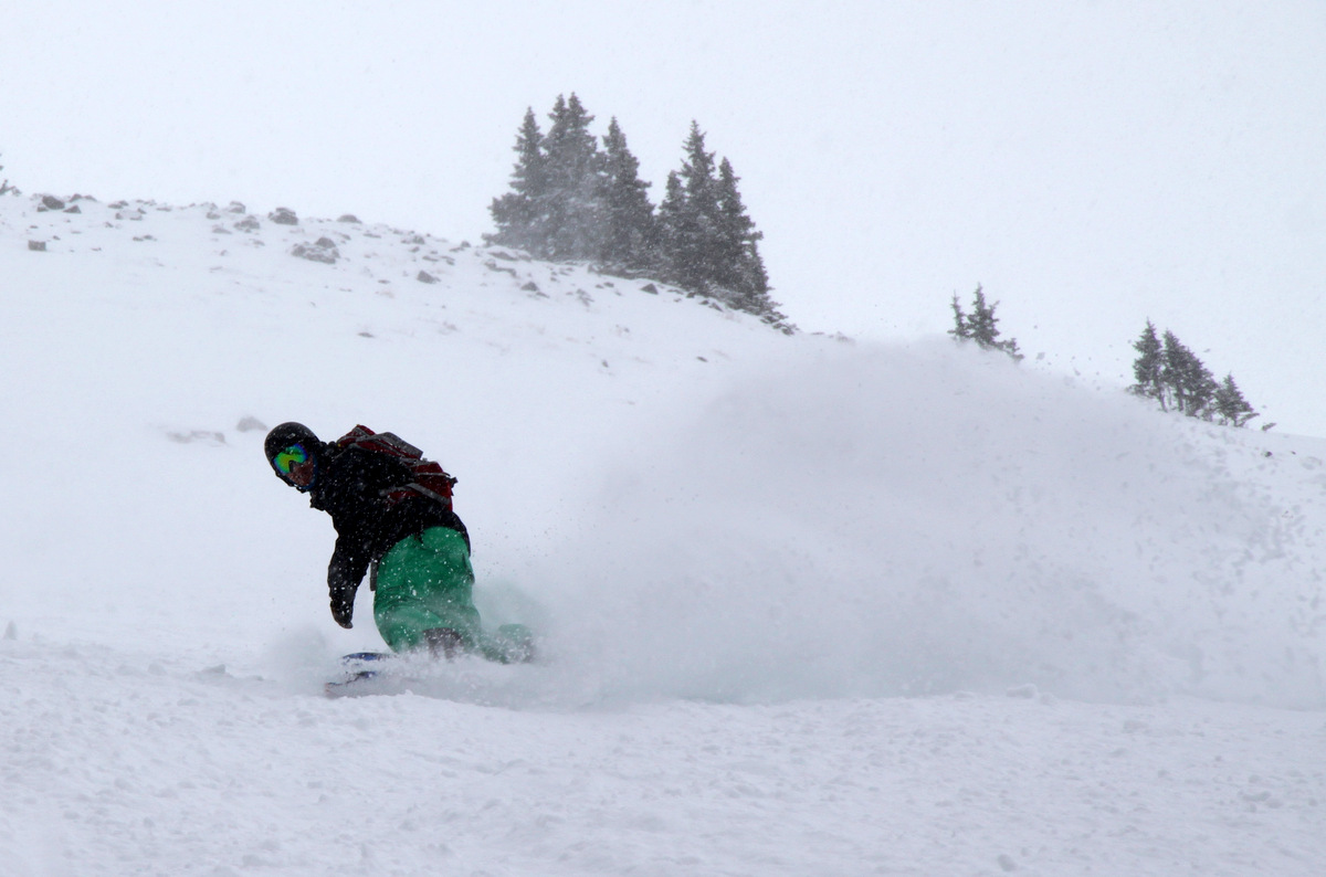
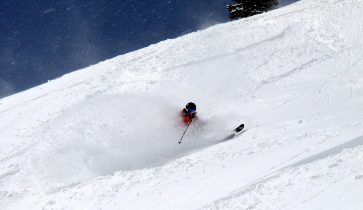
Zac coming out of his spray
Eric
Jake in deep
Hiking to run #5 on Sunday
Looking down run #5
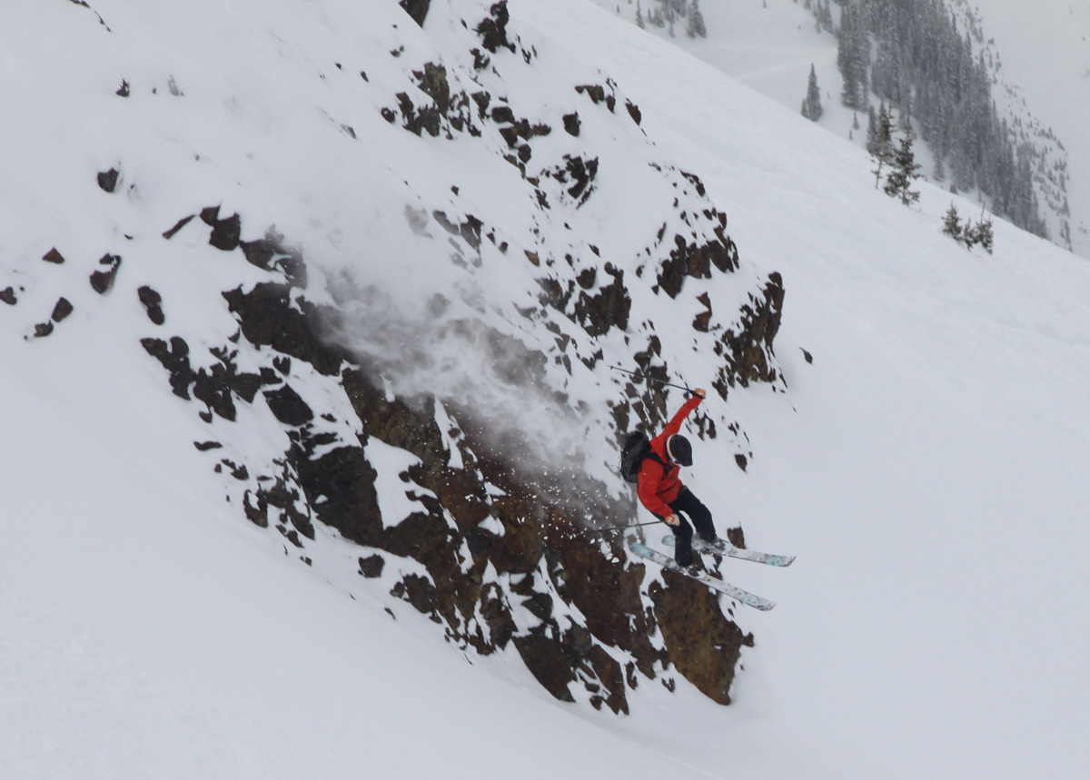
Zac targeting the cliff
He launched it, didn’t land it, and Gavin was $20 richer
Shockley
Gavin
Jake
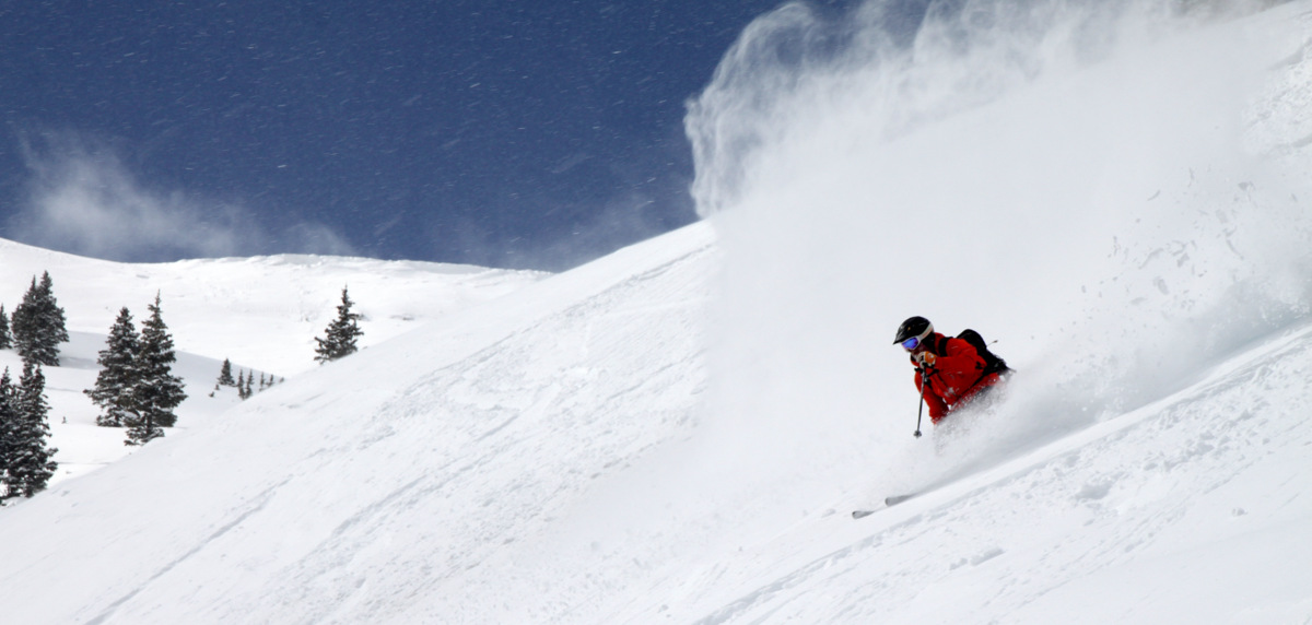
Jake harvesting his turns
Jake is a tele machine
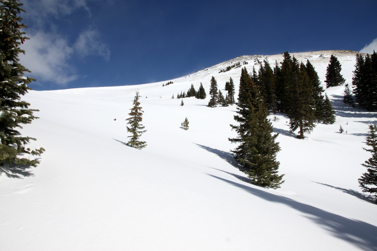
Views
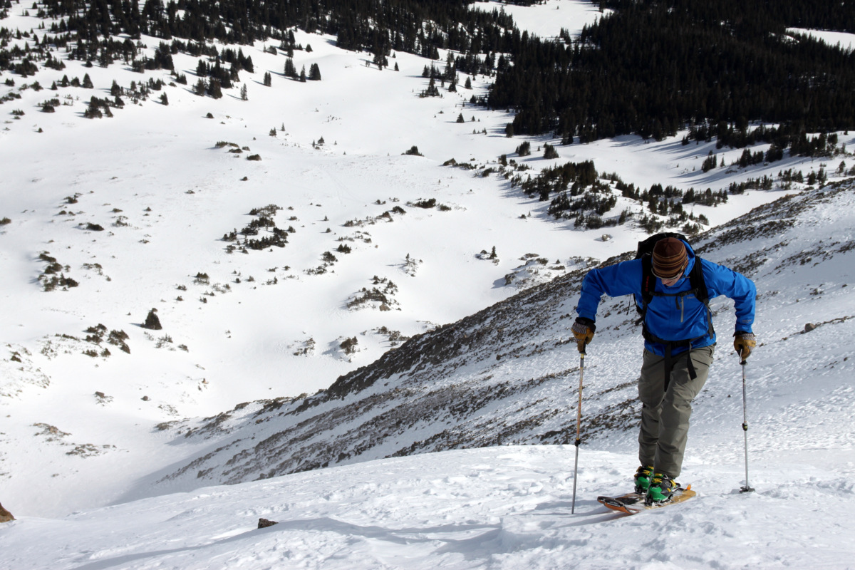
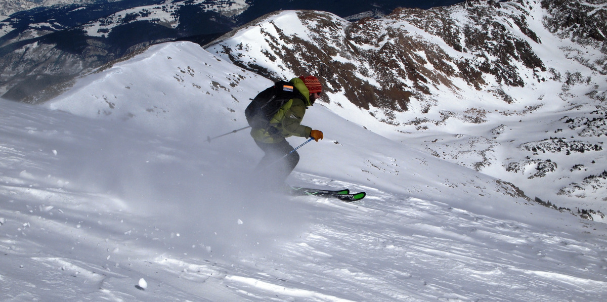
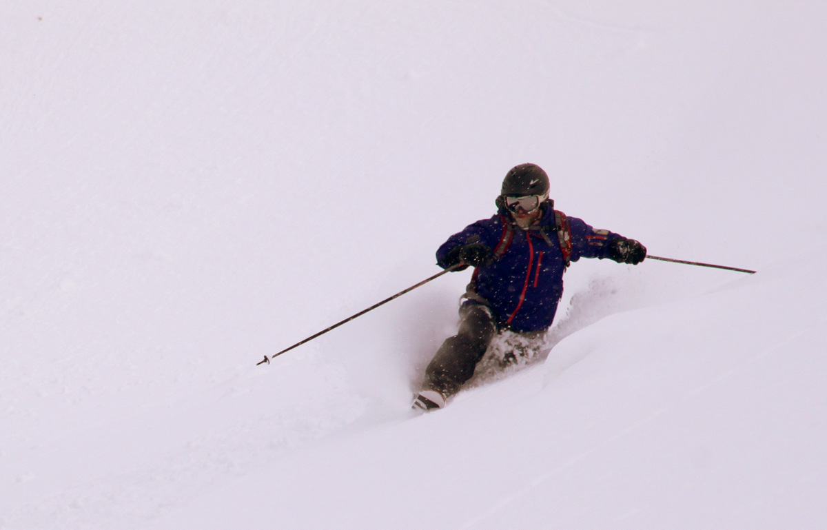
Finally, some pics of me on run #6 on Sunday courtesy of Zac
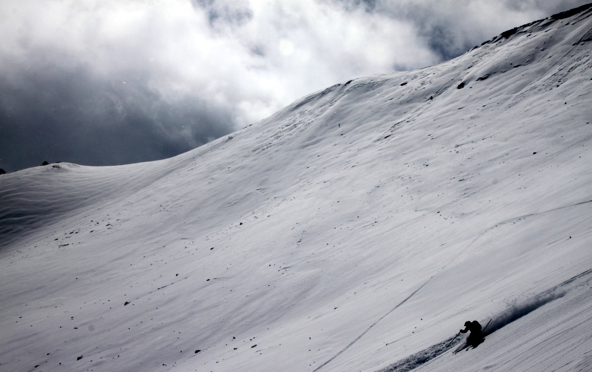
Just the best snow
I love my jump turns on the teles
And out…
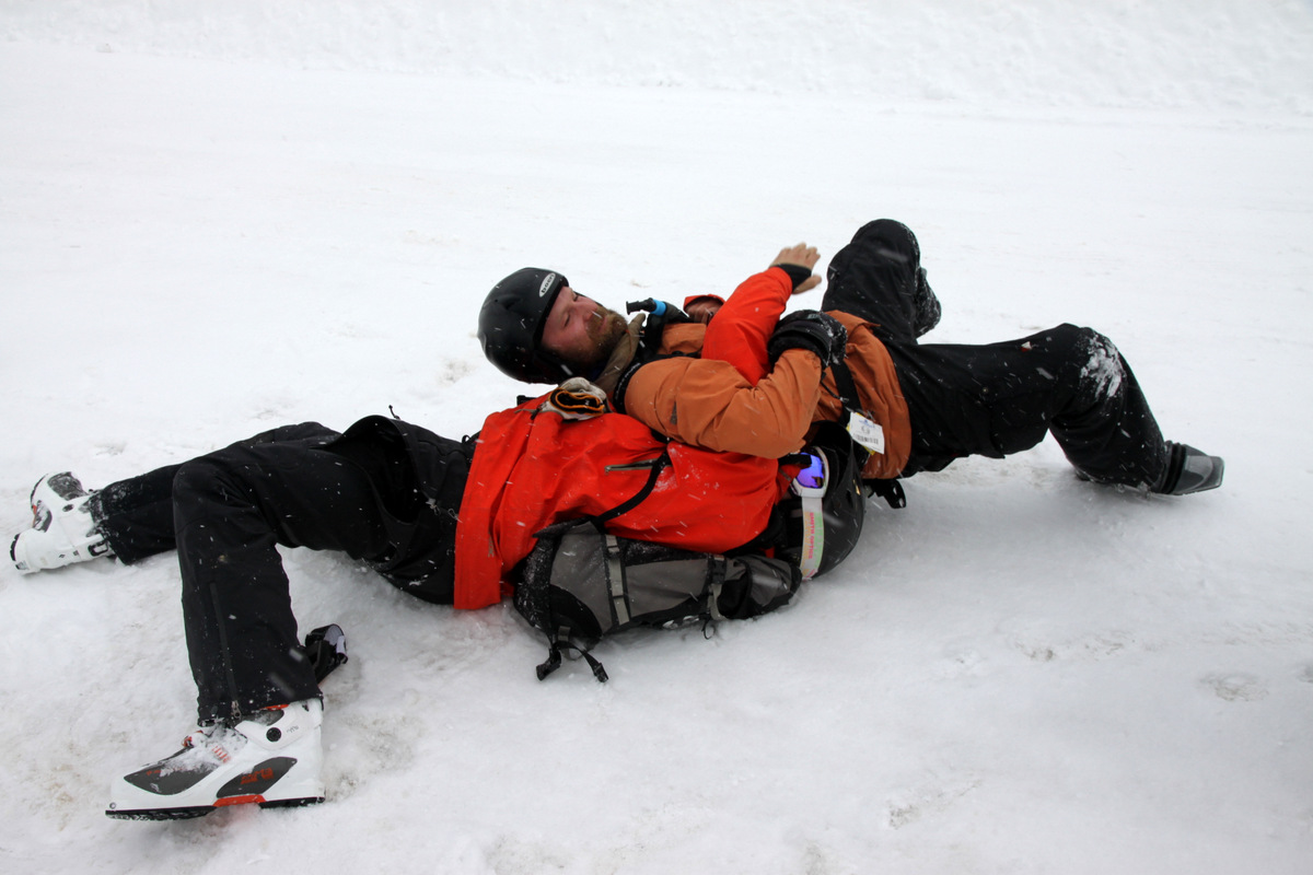
The last men standing (& Bella) before the long drive home
This past Saturday was the annual Vail Uphill Race in honor of our good friend Sylvan Ellefon’s father, Lyndon Ellefson. Its always a great event put on by our friend Ellen Miller who does a stellar job. While we’re not really into the whole racing scene, this is one we try and do every year if we are in town as it honors the Ellefsons and is such a great way to start the day with like-minded outdoorsy folks. The only drawback is the crack of dawn 7am start. I have no problem getting up to climb a mountain, but when it comes to doing an all-out race pushing yourself to your threshold that early in the morning, it gets a bit tougher. However, a few cups of coffee got me wide-eyed and I was ready to go. Unfortunately, Kristine was in Washington, DC visiting her sister and her family and was unable to race this year. My good friend Reid Jennings came up and stayed with me this weekend to do the race for his first time. Over the last few years the Eddie Bauer winter games in Vail has incorporated this race into their games, but because of the World Alpine Ski Championships in 2015, the winter games are being postponed for whatever reason(s). At least the Vail Uphill race is still an annual event spearheaded by Ellen Miller and her wonderful efforts. You can read more about the race course in this post from last year. I still used my Koflach mountaineering boot/Silvretta 404 binding setup like last year as it is a bit lighter than my telemark setup and gives me an extra bit of speed on the uphill. I’m just not willing nor interested in investing in the super lightweight AT race ski setup as the skiers ahead of me in the race were sporting. I’m fine with just pushing myself as hard as I can with what I have. Again, any of these ski setups are considered the “Heavy Metal” category in the Vail Uphill race which is what I entered again. However, in my humble opinion, these lightweight AT ski setups are hardly “heavy metal”. I’d love to see these setups in the backcountry or charging down powder-filled couloirs on the higher peaks. Any reasonable person would never use these race setups for any other reason than racing uphill. But, it is what it is and I just go as fast as I can with my heavier/clunkier setup. All I’m ever doing is racing against myself. Some friends have said to me “why don’t you get a lightweight AT ski race setup and do more ski-mountaineering races”. But, honestly, I’d rather be doing winter mountaineering and real ski-mountaineering adventures in the high peaks with good friends than being a race guru with ski-mountaineering races every other weekend. With all that said, I’m pretty pleased with my result of 45 minutes and 45 seconds to cover the 2.06 miles and 2,475 vertical feet on my ski setup, which was 18 seconds faster than my time last year. I may just enter the “open” category next year and see what I can do there with my trail runners and microspikes – I think I could shave minutes off my time. Reid did very well in the “open” category with a time of 50 minutes and 49 seconds. The results are below:An awesome breakfast at Eagle’s Nest ensued full of eggs, bacon, etc. I didn’t quite make the “podium” this time (4th in the ski category), but got some good swag and a bottle of wine. It was a nice way to spend a Saturday morning with friends and familiar faces.
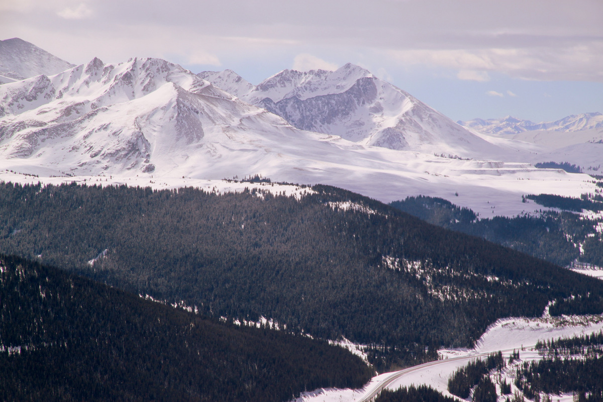
The next day Reid, myself, and good friend Derek Drechsel were targeting a climb up the high 13er Pacific Peak’s west ridge, but the forecast for the winds was not what the doctor ordered, especially since this is an exposed ridge facing west and we would feel the brunt of the 50mph gusts the whole day. I then remembered the intriguing 13er Jacque Peak south of Copper Mountain, which you can see as the large pyramidal peak to the southeast when driving east down Vail Pass. The plus with climbing this peak is that we could climb from the east pretty much the whole time up to about 12,500′ and then hopefully just deal with the ferocious west winds the final 700′ up the northeast ridge. I had read reliable information on a few winter ascents up Copper Creek from Highway 91 to the base of the Blackjack lift on the backside of Copper Mountain, on up into Copper Bowl, and then onto Jacque’s northeast ridge. We parked 4.2 miles south of I-70 & Copper right off Highway 91 at the entrance to the private access road to the Tailings Ponds. It was an enjoyable snowshoe through the woods up into the Copper Creek drainage breaking trail in a good 6-8″ of fresh powder on top of a firmer base. We then found pieces of red and blue tape on trees every so often (put up by Copper ski patrol) to lead the way up to the ski resort boundary and the base of the Blackjack lift. I believe these markers are to help guide folks skiing the sidecountry run from Copper Ski Resort out to Highway 91. After hopping the rope and continuing our snowshoe up the catwalk into Copper Bowl passing the Mountain Chief lift as well, we were greeted by Copper Mountain ski patrol on their way down the snowcat groomed trail from where Copper offers cat-skiing in upper Copper Bowl. Bad news from ski patrol dampened our spirits. They were nice about it and I didn’t feel like arguing, but they said Copper Mountain Ski Resort does not allow uphill access during operating hours and would not allow us to use their cat walk (in-bounds) and then leave the ski area to access Jacque Peak. I was pretty surprised – I had not heard of this before. There was no way we could have stayed off the cat walk, which is on the ski resort boundary, due to the high avalanche slopes coming off Turner Mountain’s north face to the south. They stated that because we used their in-bounds terrain we could not continue uphill and leave the ski resort. They continued to tell us there is high avalanche danger, which of course we knew and therefore planned this safe winter route up the low-angled Copper Bowl to a ridge, but obviously they are just doing as they are told and the common denominator is that the ski resort is afraid of getting sued if we used their terrain and then were caught in an subsequent accident (avalanche or whatever). Self-reliance these days seems to have all gone out the window. And, of course the ski patrol didn’t know us apart from some tourist who had never stepped in the backcountry before. They are just trying to protect their hides. Its unfortunate that the whole ski resort/uphilling issue has come down to this. But its inevitable when people are searching for someone to blame when an accident happens.
The catwalk at the bottom of the Blackjack & Mountain Chief lifts heading up into Copper Bowl with Jacque Peak in the distance
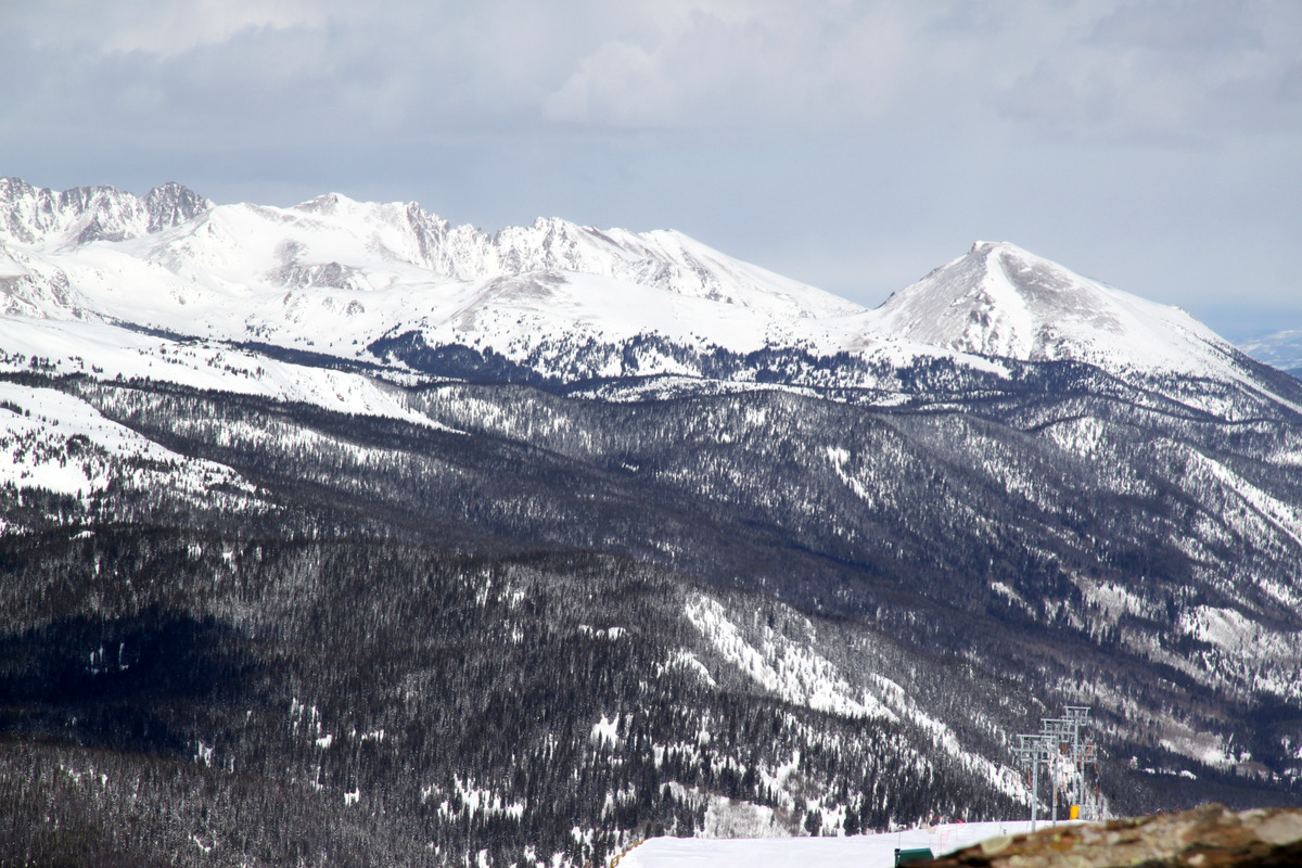
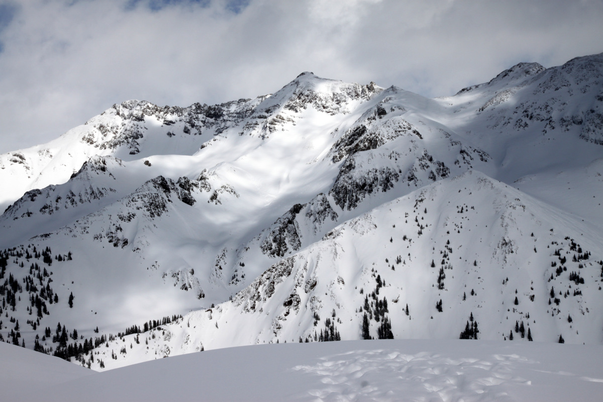
Jacque Peak’s northeast ridge at the head of Copper Bowl. The Copper Mountain snowcat can be seen for cat-skiing in upper Copper Bowl
Nevertheless, we bid the ski patrol adieu and turned around to go back down the catwalk. Wanting to do a bit more with the day, I suggested to the boys to climb up to the summit of “The” Copper Mountain – the mountain Copper is named for as the ski resort resides on Copper Mountain’s northern slopes. To hopefully get a jump on the Sunday ski traffic, Reid & Derek decided to descend back to the cars and make the drive back to Denver. I decided to head up to Copper Mountain’s summit and ascended the treed slopes to the east of the ski resort boundary through deep powder.
Breaking out of the trees with Copper Mountain’s southwest ridge up and to the right
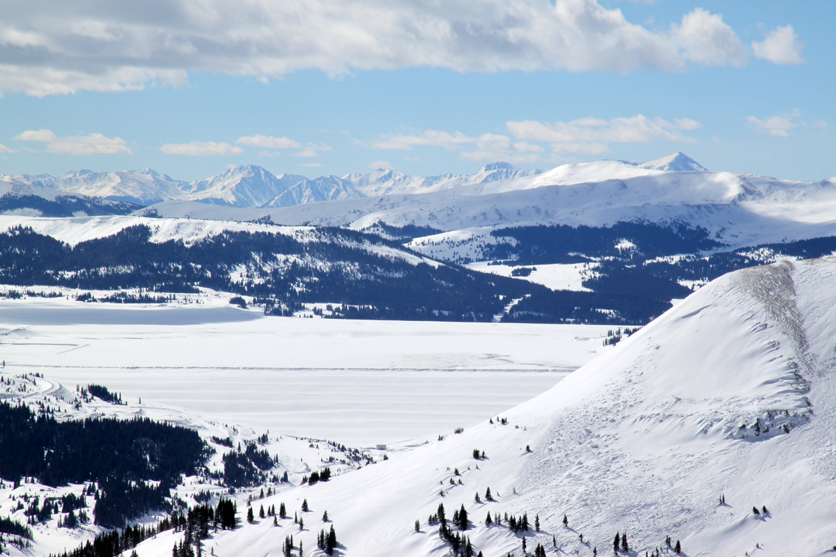
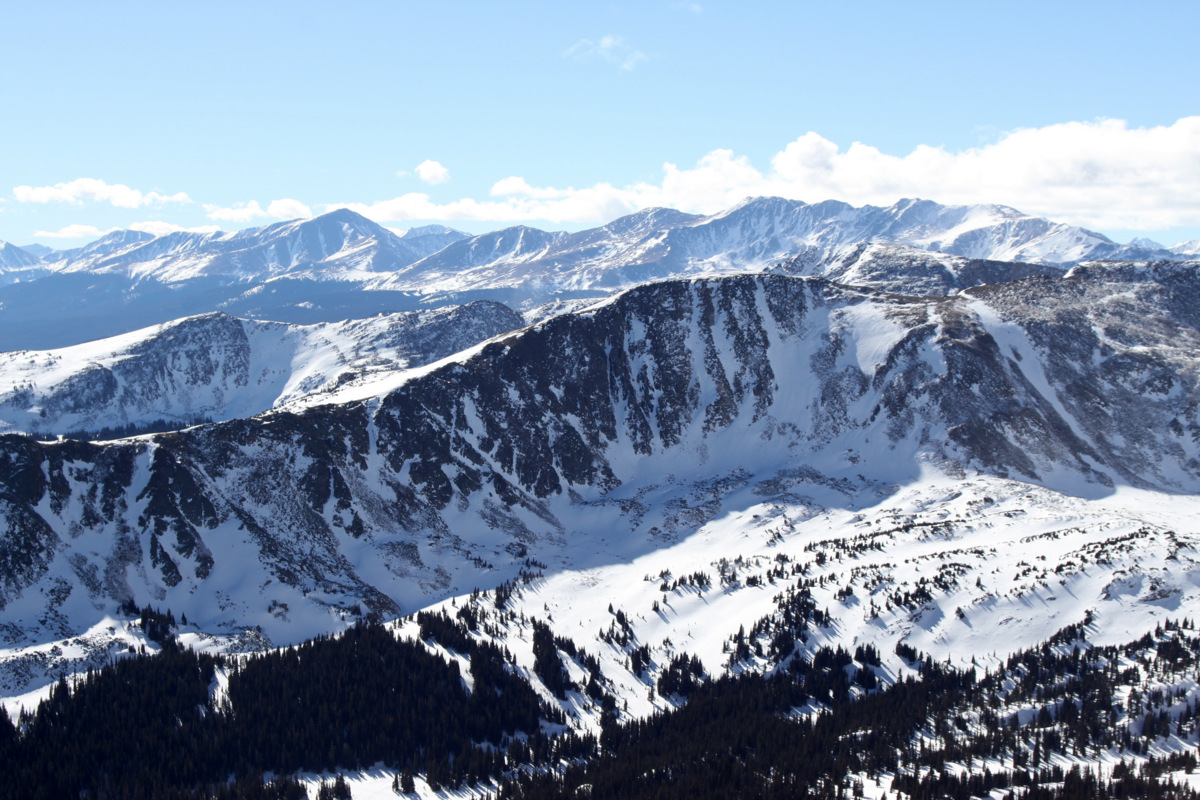
After 30 minutes I broke out of the trees and then ascended Copper Mountain’s southwest ridge keeping outside of the ski resort the entire time for another 30 minutes to the brutally windy and cold summit at 12,441′. However, the sun was out and the views were nice. This was a vista I had yet to visit and the views of the Tenmile Range to the east and the Gores to the north were all new for me. A skier a hundred feet below me who had apparently hiked up a bit from the top lift to the north gave me a wave and a funny look.
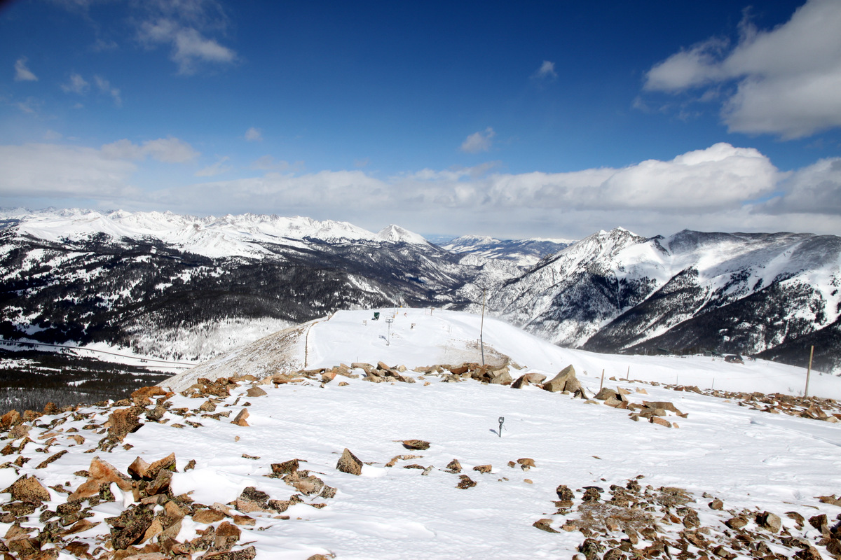
Looking north from Copper Mountain’s summit
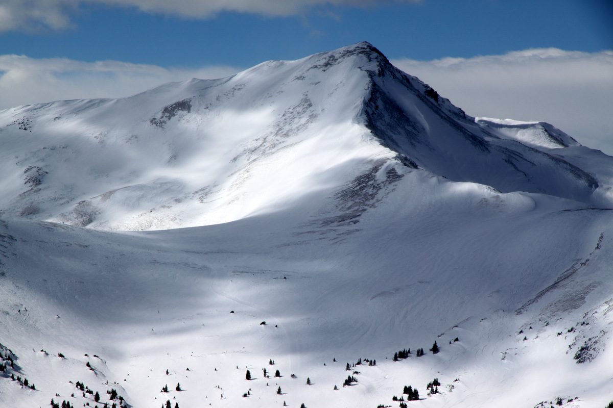
Looking southwest to Jacque Peak from Copper Mountain’s summit
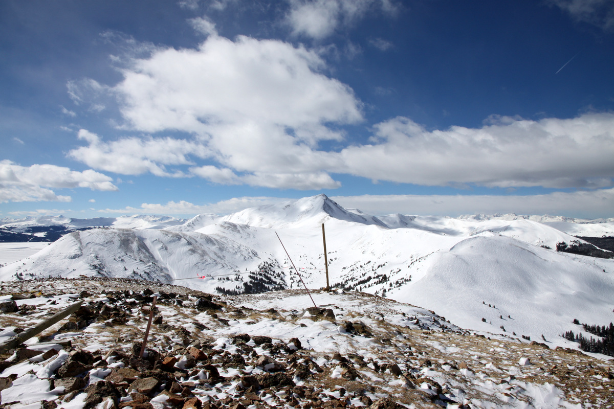
The Tenmile Peaks to the east. Left to right: Pacific, Atlantic, Fletcher, and Drift
Looking south to Mt. Arkansas and its northwest/north ridge
Looking south over the Tailings Ponds to the Sawatch Range (Mt. Elbert stands tallest at right in picture)
Jacque Peak and its northeast ridge from the summit of Copper Mountain
Looking north to Buffalo Mountain (far right) and Red Peak (left) in the Gores
Northern Gores a bit socked-in with clouds
I-70 over Vail Pass with Bencmark Peak and East Vail at left and the 12er Bald Mountain above Vail Village at right
Copper Mountain summit picture with Jacque Peak benind
Here’s a little video just to show how windy it was up on top:
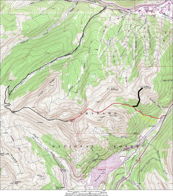
After a good 20 minutes on the summit of Copper Mountain, I retraced my snowshoe tracks all the way back to my truck arriving at 1pm. It was still over a 2,200′ ascent from my truck to the summit and so a pretty good workout and some new terrain for me. Here’s a map showing the Copper Creek route to Jacque Peak (in red) and my route up Copper Mountain (in black):
Map of the Copper Creek drainage route (red) up to Jacque Peak. We actually took the alternative yellow route just to the south of Copper Creek to avoid being in the ditch of the creek itself. Also, my route up Copper Mountain is shown in black
All in all, a nice half-day adventure on the backside of Copper Mountain. In retrospect, I think its best just to try and avoid ski resorts altogether in trying to access other terrain (at least during ski resort operating hours). Speaking of non-operating hours, perhaps we’ll just do a full moon night ascent up the Copper Creek route. Now that sounds like a nice way to spend a full moon evening.
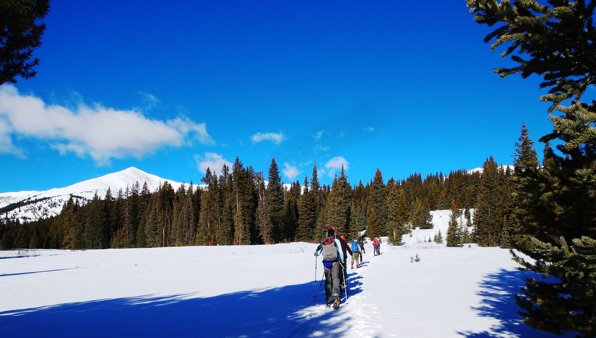
We were reminded that every Sunday should be spent the way we spent this past Sunday. Our small Vail crew (me, Kristine, J, and Mikey) met up with a Denver team with whom we have been in touch for years but have actually never gotten out in the mountains together. Kristine & I had met Brian Miller before years ago as well as Dillon Sarnelli last fall in the Gores on Mt. Valhalla, but we all met Ben Conners, David Yarian, & Rick Thompson for the first time. It was a stellar crew and everyone got along very well. These guys have an awesome website/blog going of their adventures in the Rockies, of which I am a subscriber, so check them out at Explore The Rockies. Ben suggested the 13er Homestake Peak near Tennessee Pass, which none of us had been up, so we were definitely on board and given the bluebird forecast it was to be a great day up high. The roundtrip length was around 11 miles and 3,200′ of vertical gain, so not all too long especially on skis. Poor Dillon was the lonesome fellow on snowshoes but he sure can move.
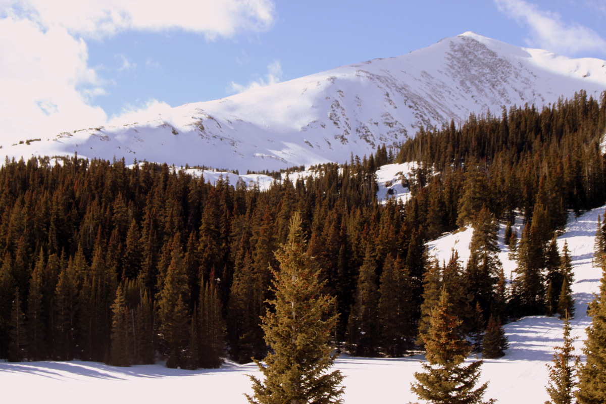
Skinning into the 10th Mountain Hut with Homestake Peak looming above. Photo by Dillon Sarnelli
J, Kristine, & Mikey skinning in open meadows to gain Homestake’s gentle east ridge. Photo by Dillon Sarnelli
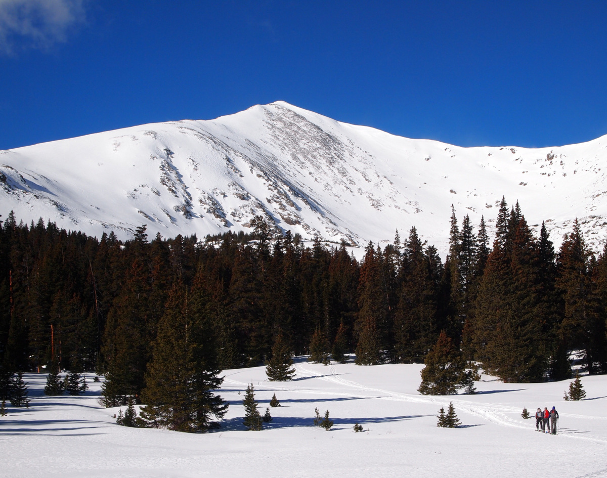
On the east ridge looking west at the Tenmile Range and Ski Cooper
Left to right: Me, Kristine, David, & Ben. Photo by Dillon Sarnelli
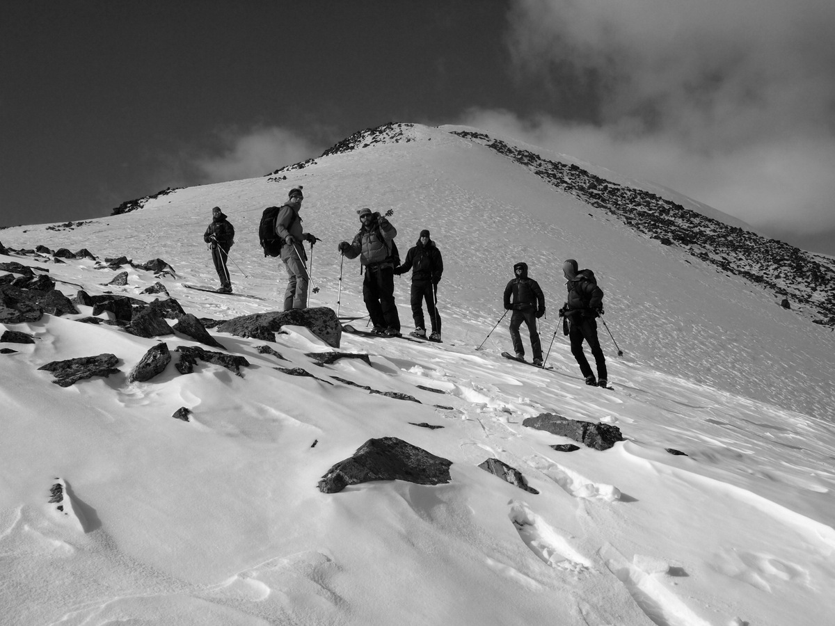
Ben skinning the steepest portion of the east ridge
Mikey skinning high on the east ridge
To the summit – J is visible on top. Photo by Dillon Sarnelli
I’ve never seen this perspective of Mt. Massive & Mt. Elbert to the south before
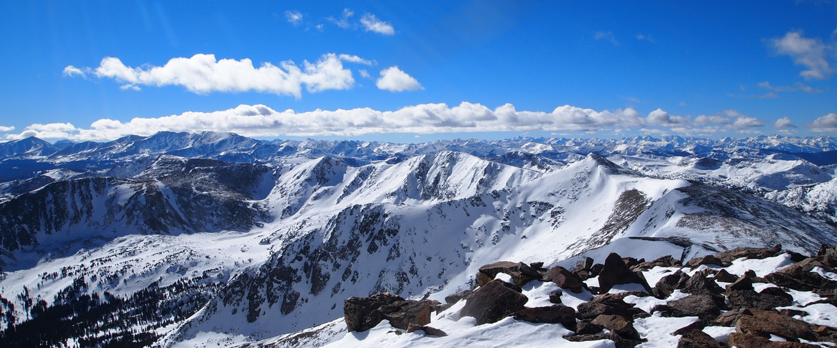
Once we got up on the east ridge, the wind came in bursts and was fairly stiff, but fortunately it wasn’t sustained. The summit was pretty chilly with the wind but the views were gorgeous of the Gores & Holy Cross Wilderness to the north, the Tenmile Range to the east, the Sawatch Range 14ers to the south, and the Elks to the southwest.
Summit views to the southwest and Elk Range near Aspen. Photo by Dillon Sarnelli
Homestake Peak summit marker
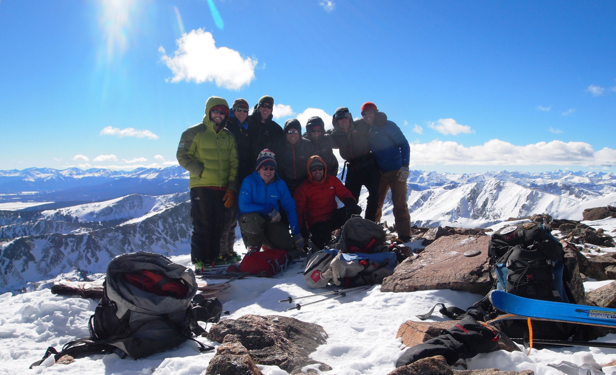
Our awesome crew on the summit of Homestake Peak (13,209′)
Kristine, J, & Mikey on the summit of Homestake Peak (13,209′)
The ski down the east ridge was pretty wind-scoured sastrugi, but there were pockets of softer recycled powder to be harvested. One thing about this Denver crew is that they can rip on skis. Brian charged down a northeast facing slope to the basin below and so we all followed. It was actually pretty darn good powder. Much better than expected. The slope was only around 25 degrees so avalanche concerns were minimal. It was a fun ski for sure and am glad we just didn’t keep meandering down the gentle east ridge to treeline.
Our crew on the descent of the east ridge. Photo by Dillon Sarnelli
Rick making variable conditions look like butter. Photo by Dillon Sarnelli
Kristine on the descent. Photo by Dillon Sarnelli
J entering the fun northeast slope down to the basin below
Kristine & I and the really fun slope we skied down from the east ridge behind
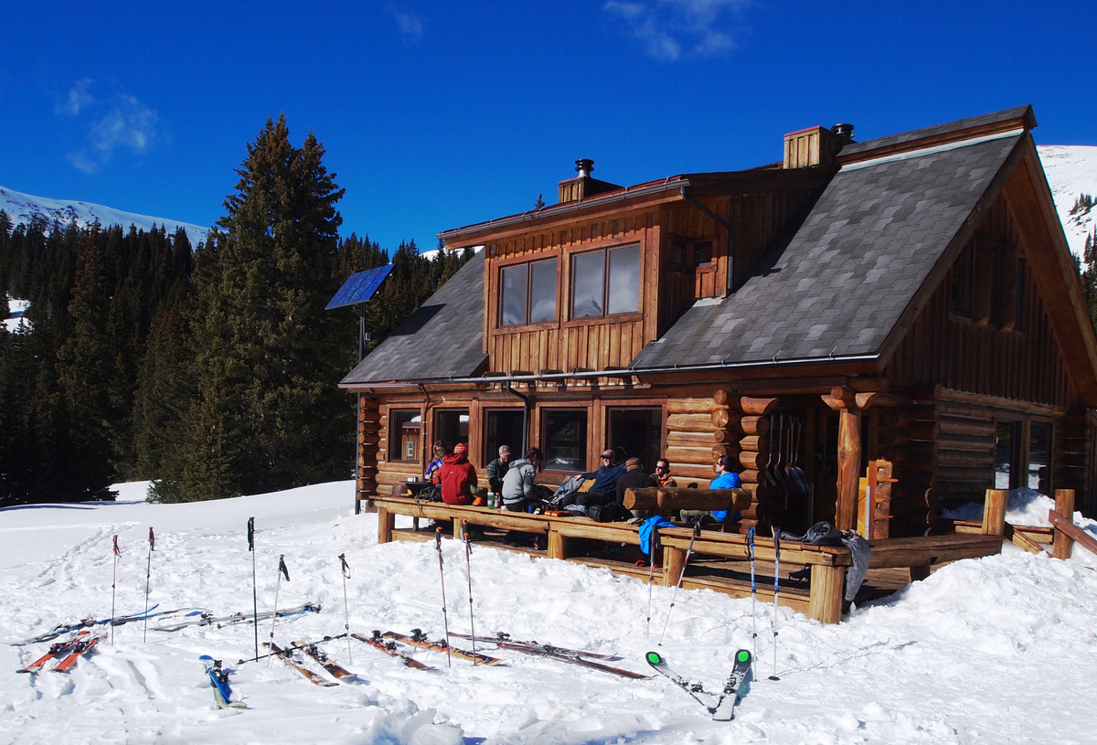
A perk of skinning in and climbing Homestake from the east near Tennessee Pass was that we got to visit the 10th Mountain Hut on the way out, one of the few huts we had yet to visit. We all met up back on the deck of the hut and enjoyed the sun and the views and some snacks and sandwiches. We then were able to stay fairly high on the small ridge and ski most of the way out back to the cars down one of the packed down winter approaches to the hut. We all actually expected the trip would take us longer than the 6 hours or so it did roundtrip, but no complaints here. It was a great way to spend a Sunday and we all look forward to getting out together again soon.
Relaxing back on the deck of the 10th Mountain Hut. Photo by Dillon Sarnelli
The 10th Mountain Hut and Homestake Peak. Photo by Dillon Sarnelli
Kristine & I both think Randy Wyrick with the Vail Daily did a good job writing a fun and complimentary article regarding our recent Vinson climb and the 7 Summits in general. I took a snapshot of the online edition and converted it to an image file, so I hope you enjoy.The only correction I must make is Australia’s highest mountain is not Puncak Jaya but in fact Mt. Kosciuszko at 7,310′. Puncak Jaya or commonly referred to as Cartensz Pyramid at 16,024′ located on the island of Papua New Guinea is the highest mountain in all of Oceania, the region consisting of all the islands of Indonesia & New Zealand as well as the continent of Australia. Furthermore, Carstensz Pyramid is the highest mountain on the Australian continental plate, which consists of the continent of Australia and the islands of Papua New Guinea and New Zealand. Kosciuszko is the highest mountain on the continent of Australia. While its not a goal of ours to really travel & climb Carstensz Pyramid, if we do get the opportunity sometime in our lifetimes, we sure wouldn’t turn it down.
Well, after many hours over the last week, I think I finally finished the long-winded trip report of our Vinson experience. I apologize for the length of it (much longer than the other 7 Summits reports), but Vinson was our last of the 7 Summits and so it has a right to be long, right? So, if you have a good chunk of time and want to check it out, the report is located under our Expeditions tab or just click Vinson Trip Report. Hope you enjoy!


 Follow