BGCE Holy Cross Climb
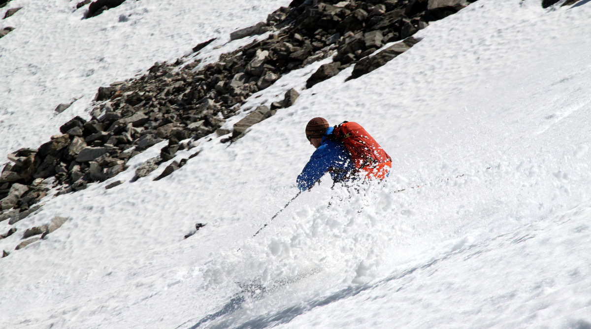
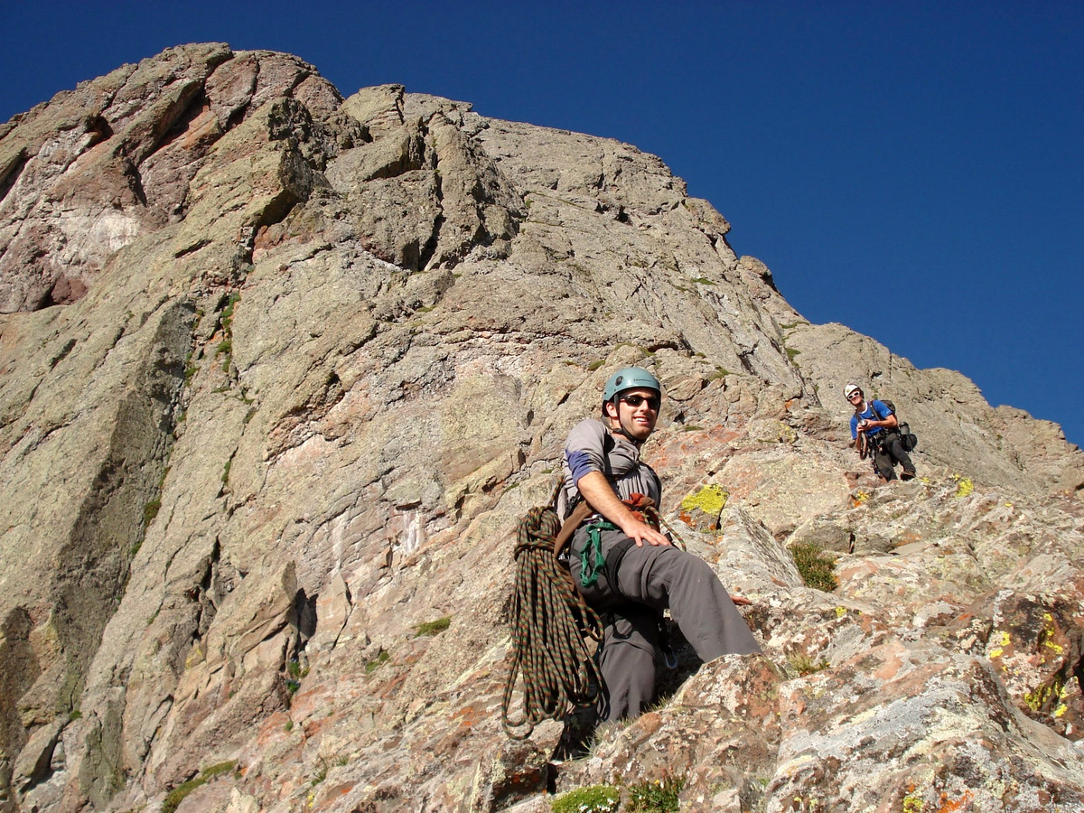
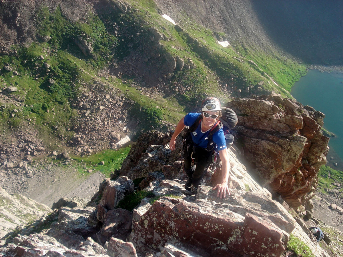
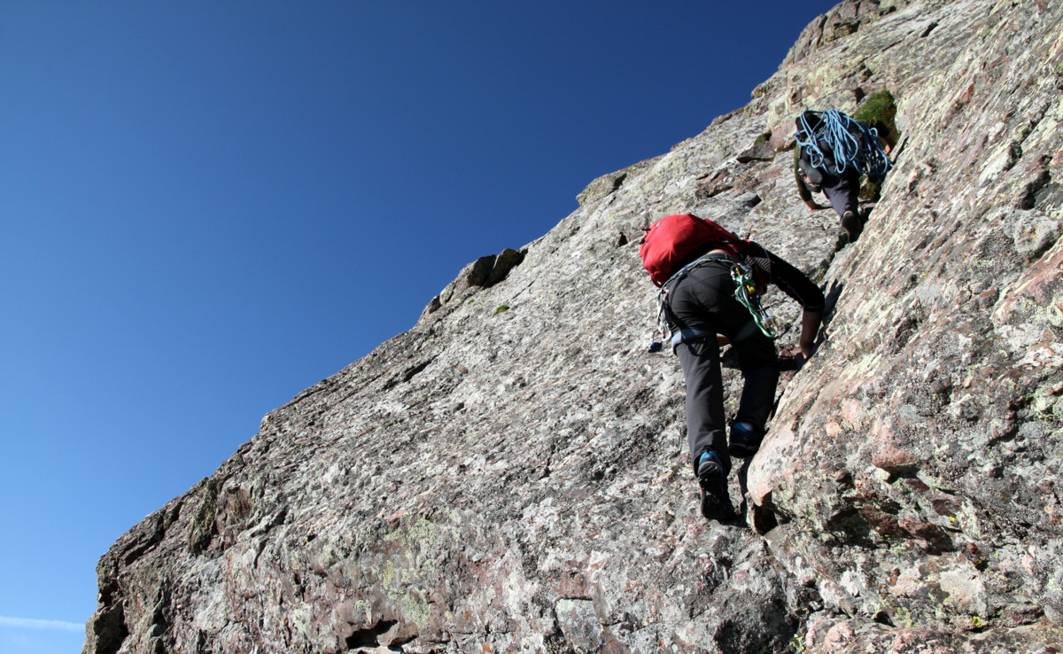
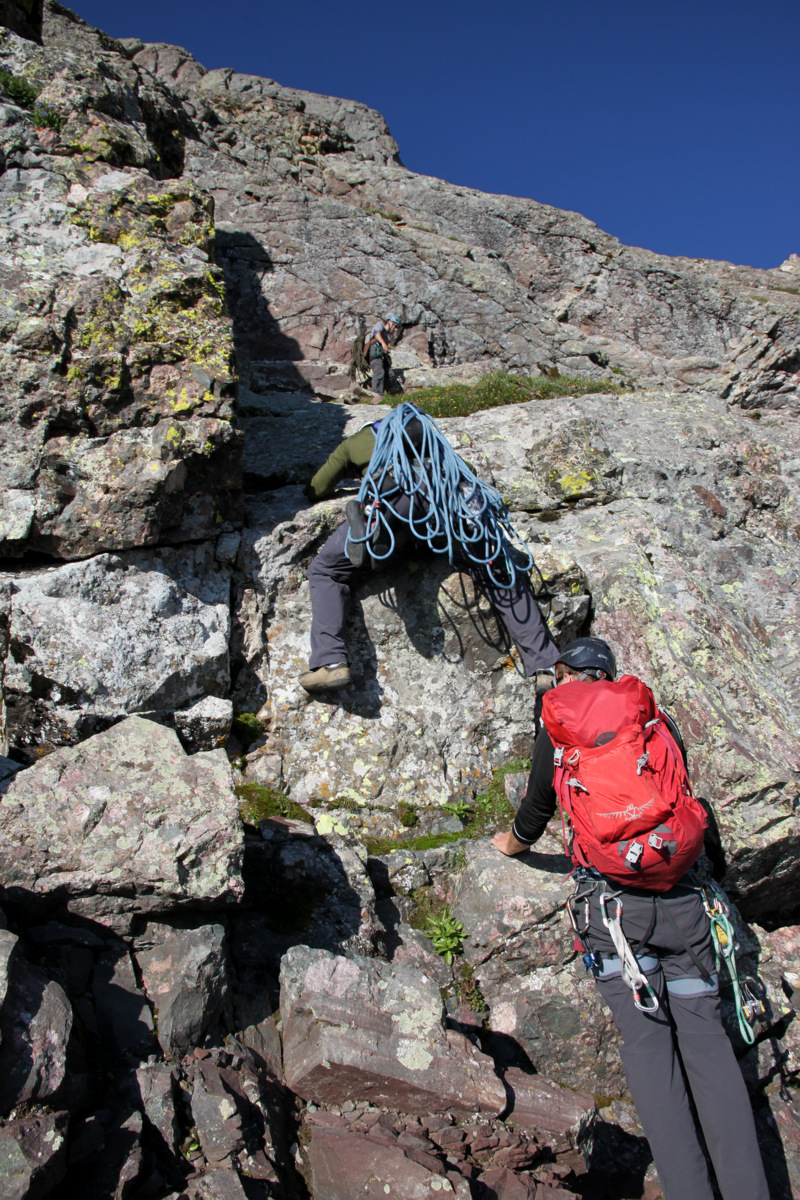
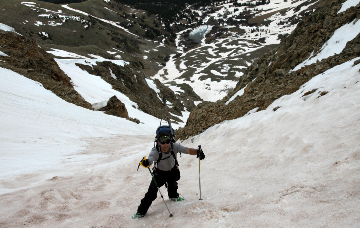
Despite being the 14er in our backyard, I hadn’t climbed Mt. of the Holy Cross since the July 4 weekend of 2004. That weekend was an awesome steep snow climb up the Angelica Couloir on the north face of Holy Cross with Billy Larson, Matt Davidson, and Rainier. We descended down the standard north ridge route and back to our camp down in the East Cross Creek valley. Before this holiday weekend in 2004, the first time I had climbed Holy Cross was a daytrip way back in the summer of 1997 with good friends Chris Zarek and Andrew Norelli on one of our typical half-summer road trips to climb peaks and be college kids.

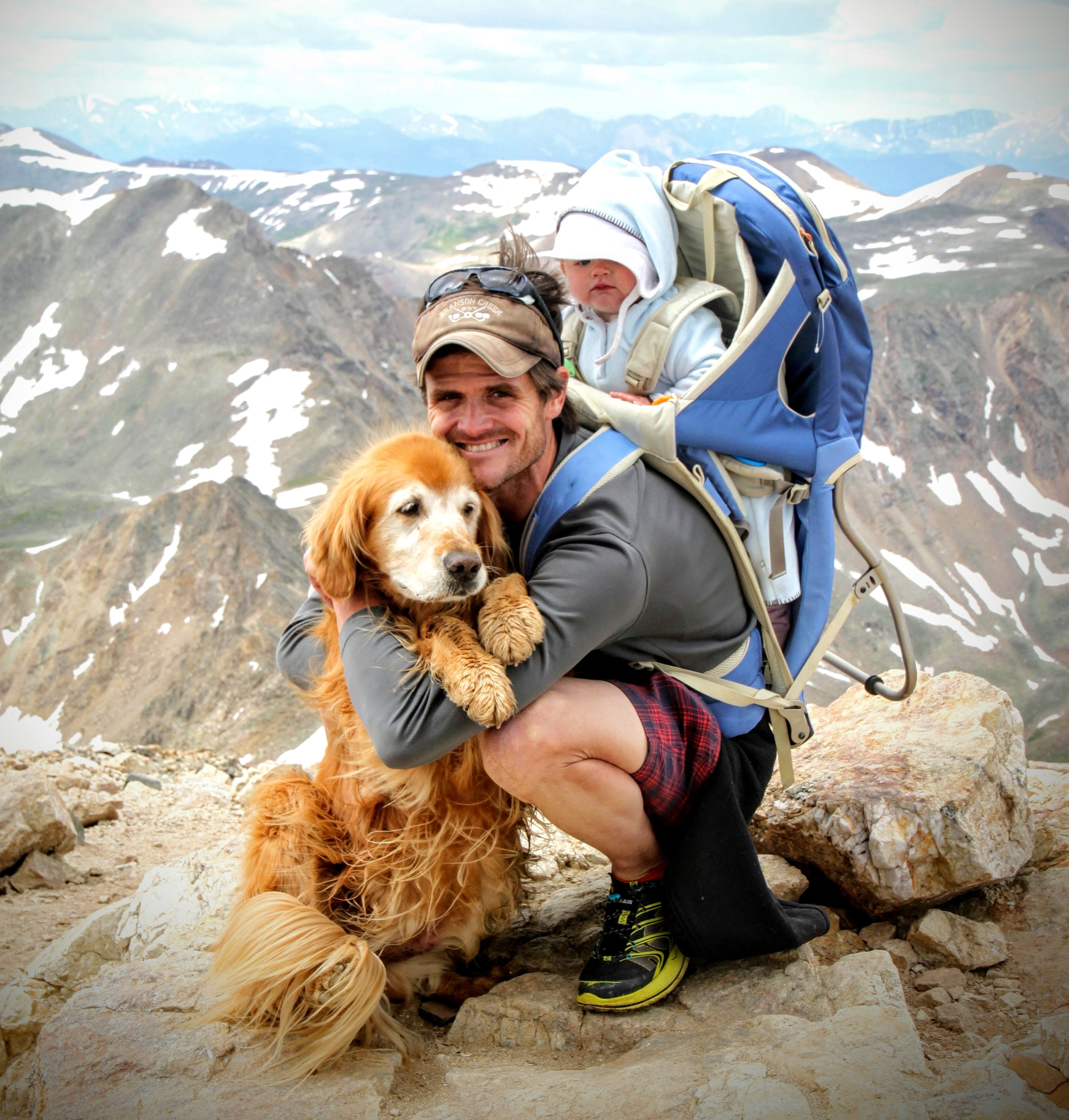
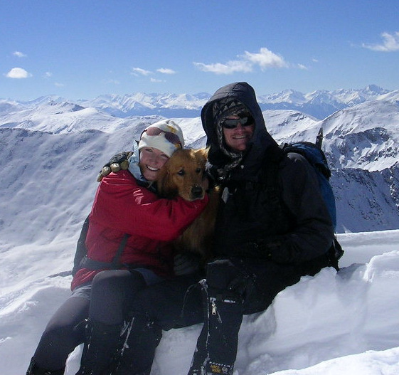
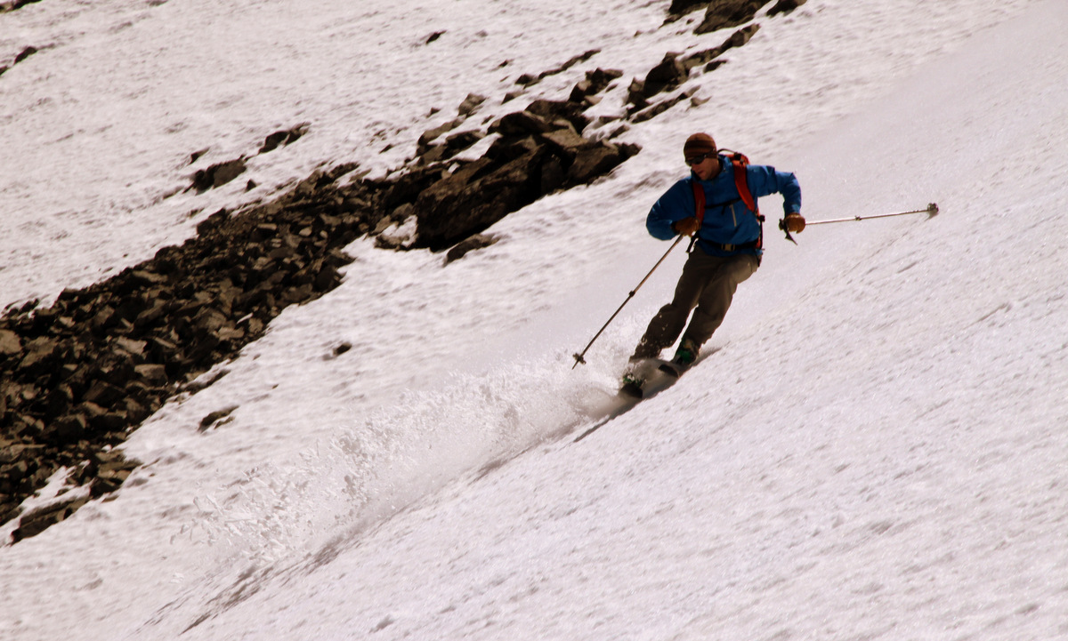
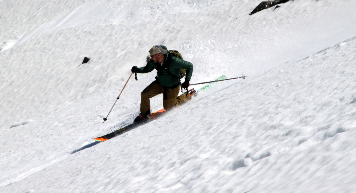
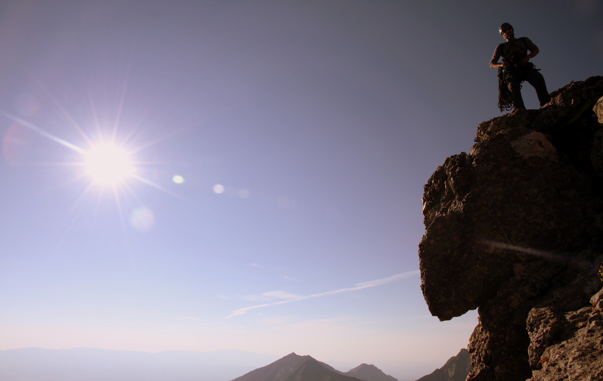
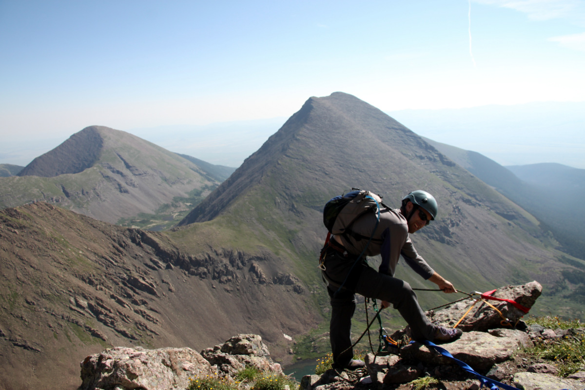
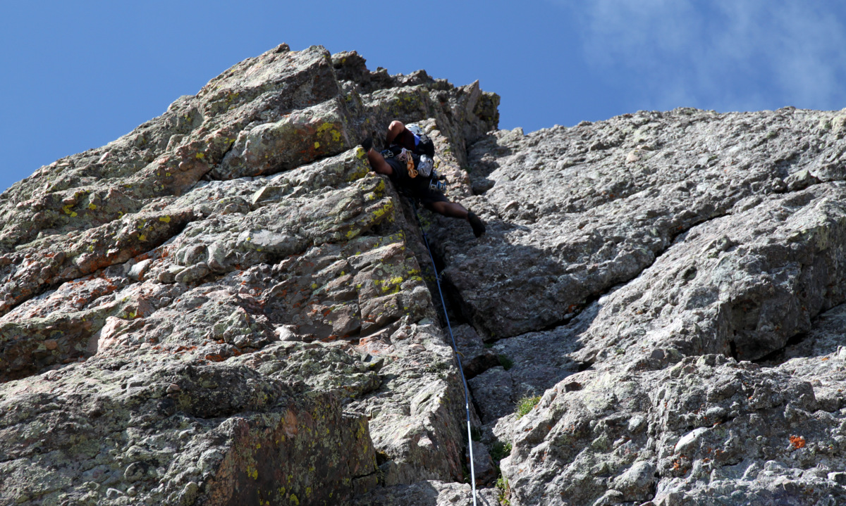
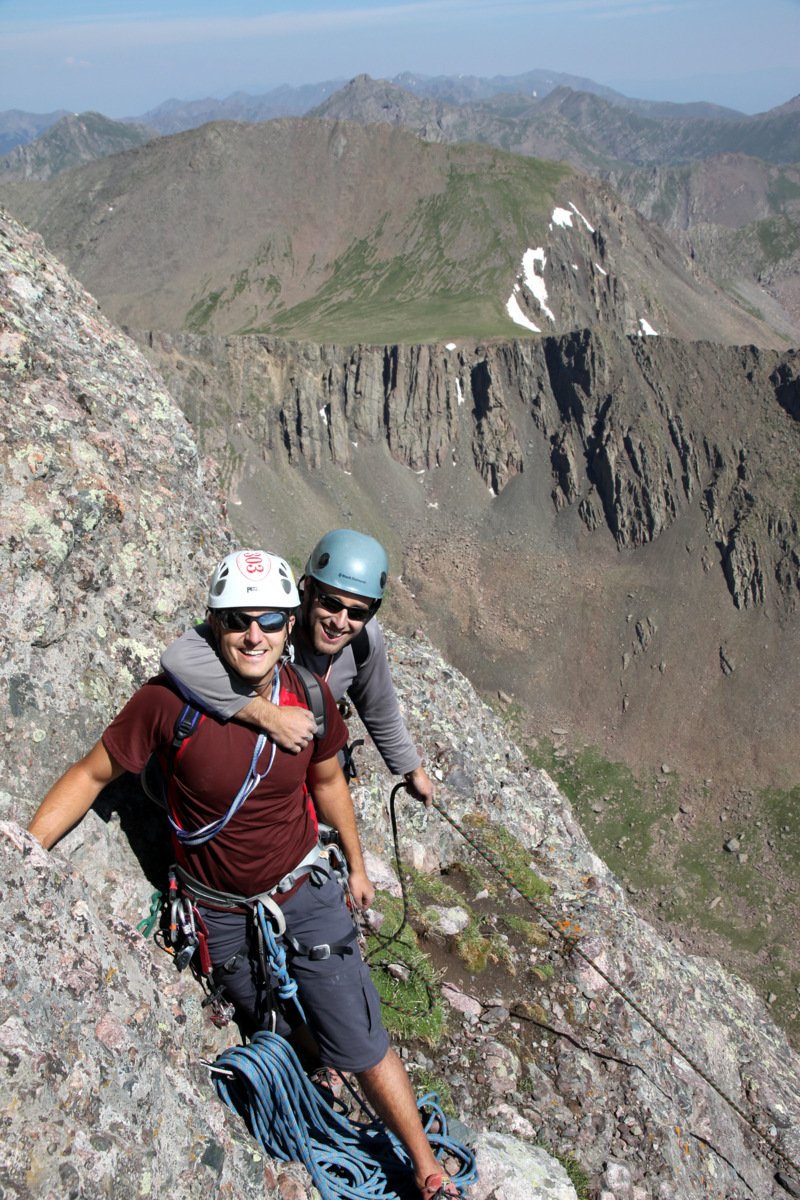
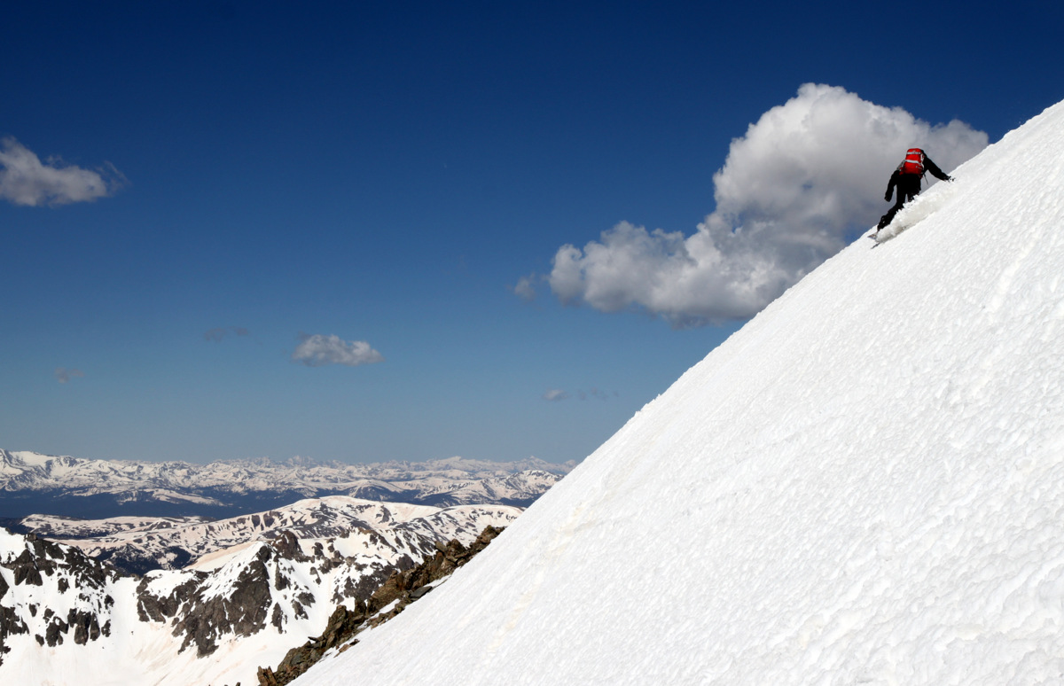
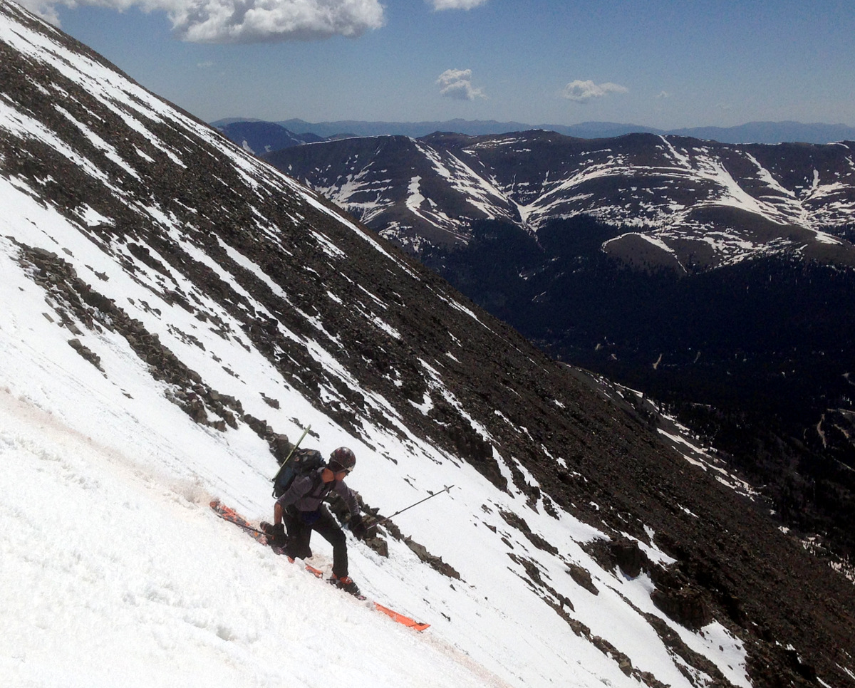
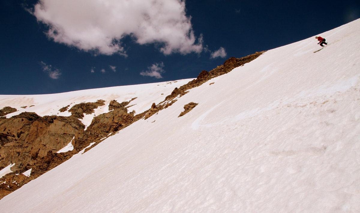
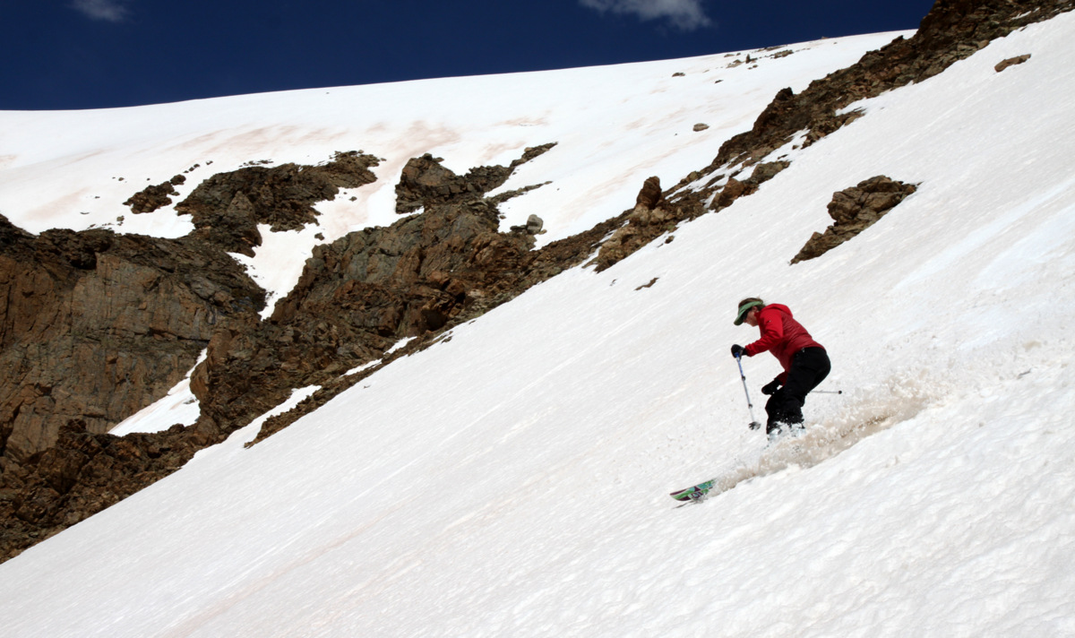
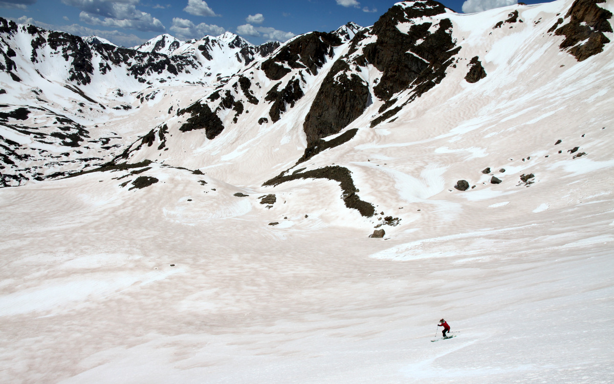
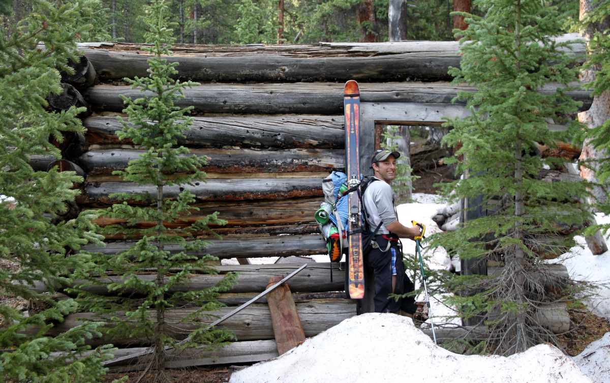
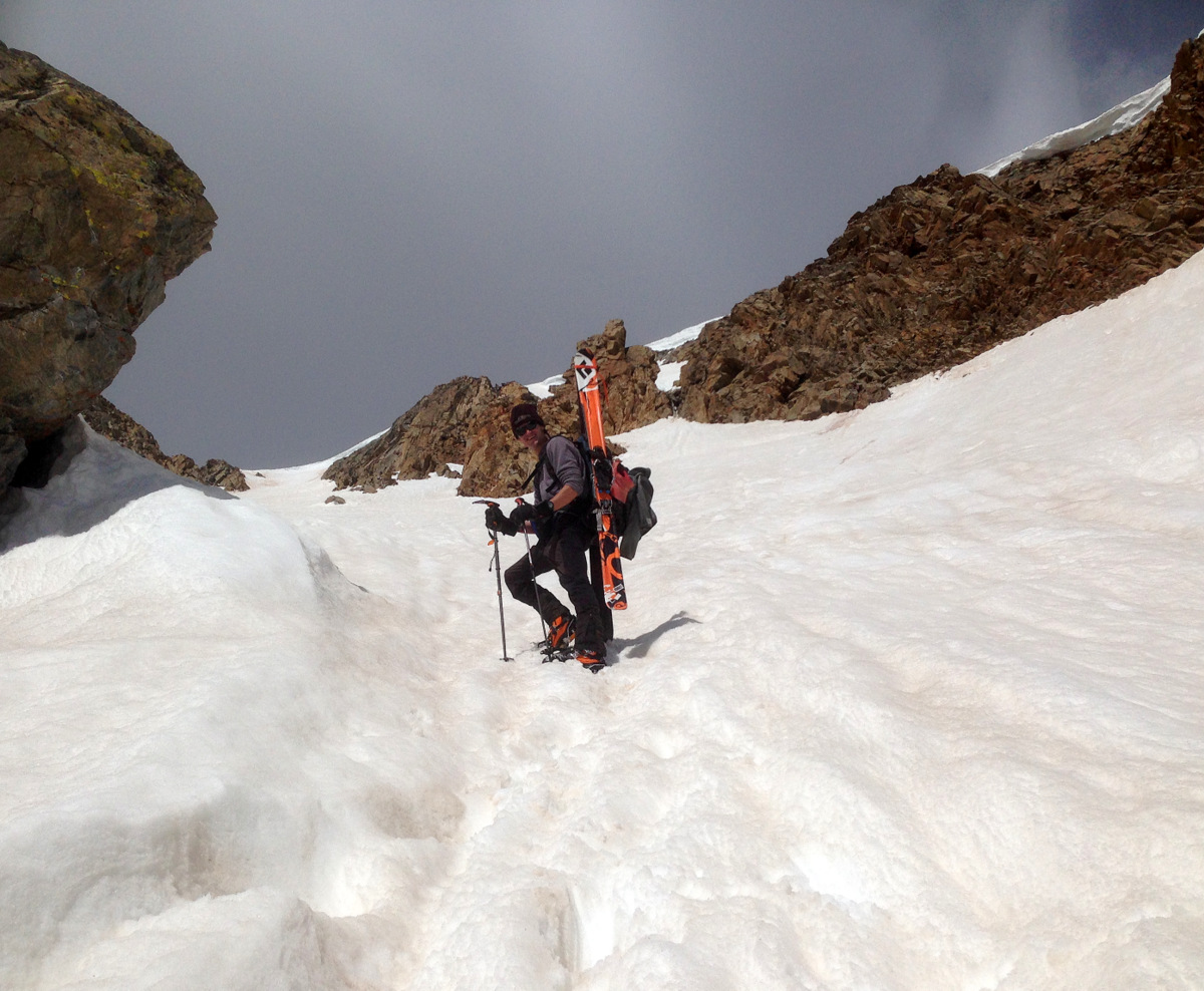
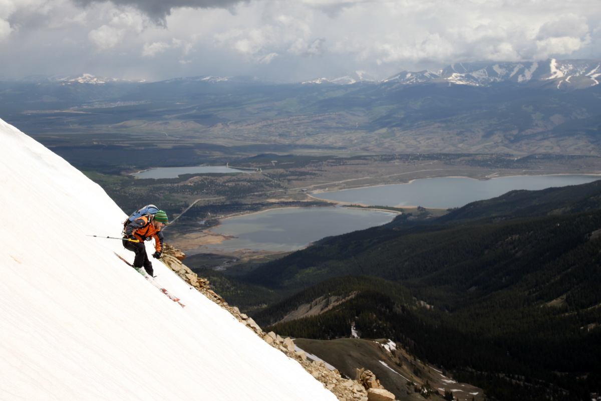
Rainier & I climbing the Angelica Couloir in 2004 on July 4 weekend. I think I should start wearing Patagonia Baggies shorts over long johns again. Photo by Matt Davidson
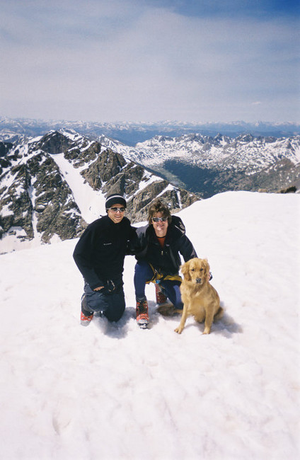
Billy, me, & Rainier on the summit of Holy Cross (14,005′) in early July 2004. Photo by Matt Davidson
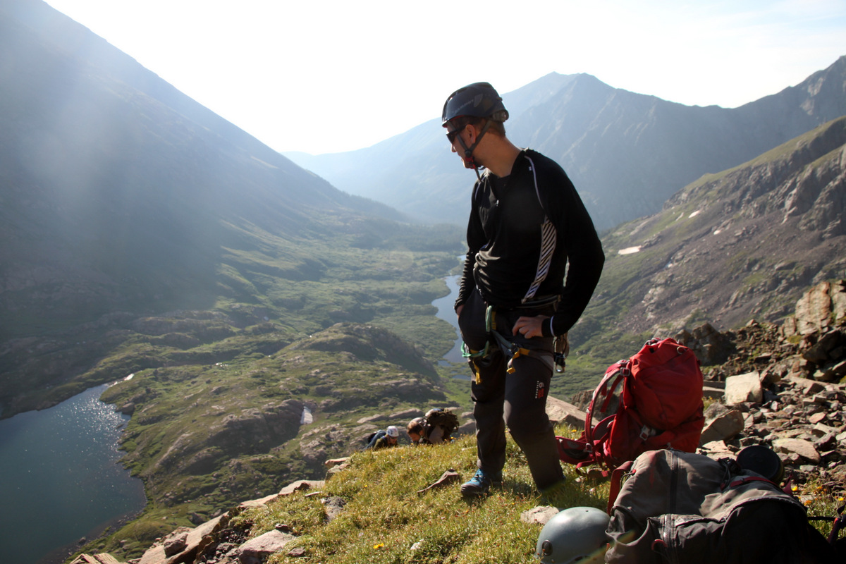
Our engineering firm, Beaudin Ganze Consulting Engineers (BGCE), tries to participate in the Griffith Centers for Children sponsored 14er climb every year we can. Griffith Centers is a great organization that helps troubled children and their families. BGCE missed out on last year for various reasons, but now with Dan Koelliker at our helm he was determined not to miss another year. I organized this event for 8 of the 12 years I have been with the firm and so Dan and I agreed I should do it again. Not wanting to drive very far and knowing there were several new employees to the Vail Valley who had not climbed the local 14er, I chose Holy Cross. We had never done Holy Cross as a firm for this event before and probably for good reason. Its one of the bigger dayhikes of any of the 14ers. At 12 miles and 5,625′ of vertical gain roundtrip, its nothing to sneeze at. The Griffith Centers has great polypro shirts made for us every year in exchange for our donation and we all try and wear them on the climb and end up wearing them for years afterwards as they are great shirts.
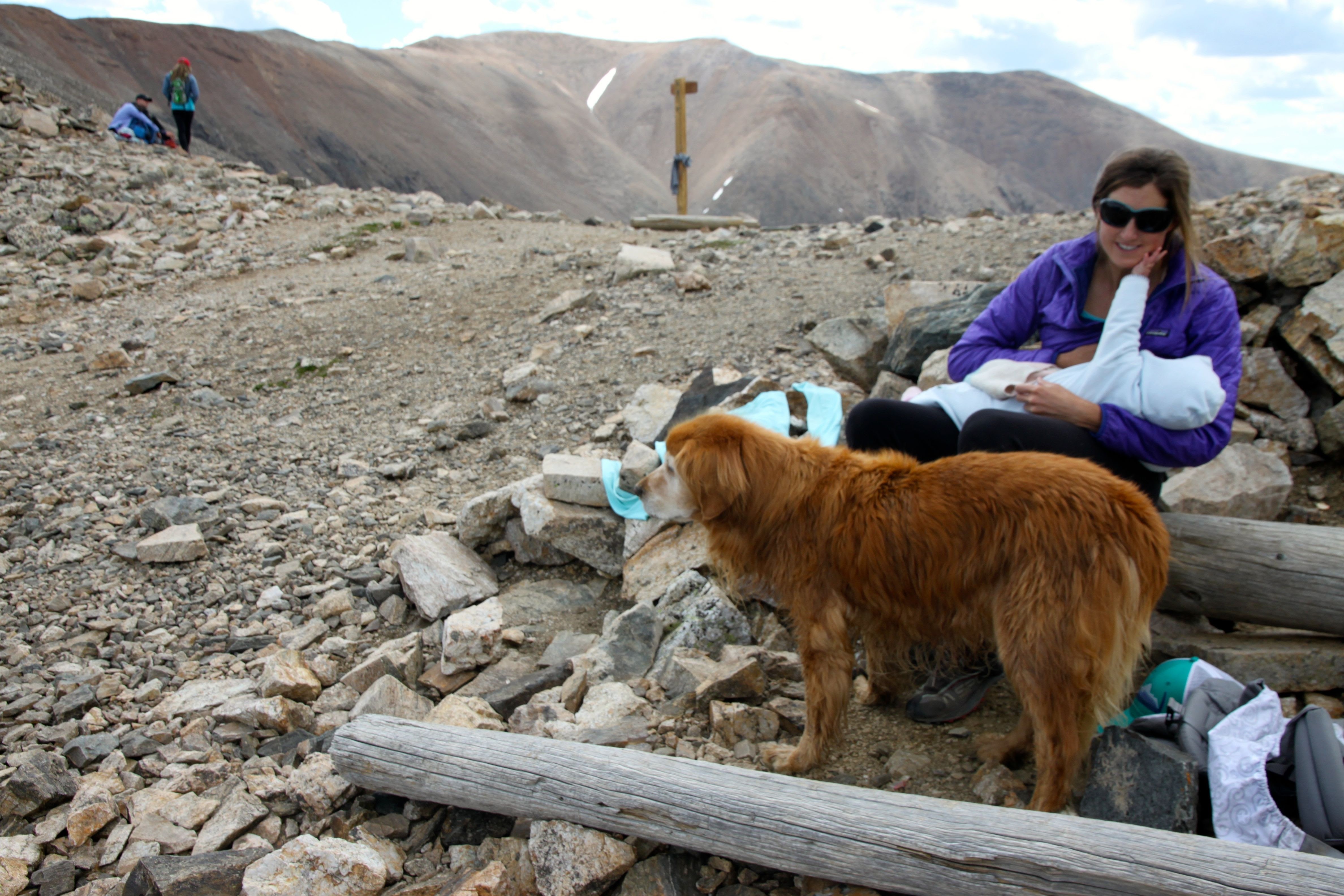
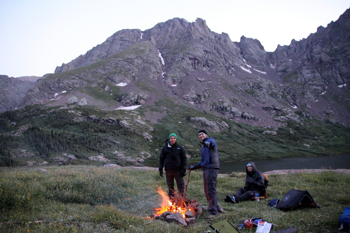
We had a great crew from our Avon office making the climb and all made it up to a campsite at the Halfmoon Campground last Friday evening. It was such a fun evening of camaraderie and games (Hammer Schlogger). In fact, when Kona and I racked out in the back of my truck at 11pm, Billy said he was going to be back, but never showed. He, Dylan, and Trevor partied all night long and kept the fire going. Good thing too because I love having a warm fire to wake up to at 3am to send us on our way. Trevor is the best basecamp manager ever. And, Dylan is a heck of an intern. Too bad he has to go back for his senior year at Penn State. Holy Cross would be Dylan’s 1st 14er as it would be for Sam Gale and Kelsey McGrew. Also, Kona had never been up Holy Cross. A new 14er for her as well.
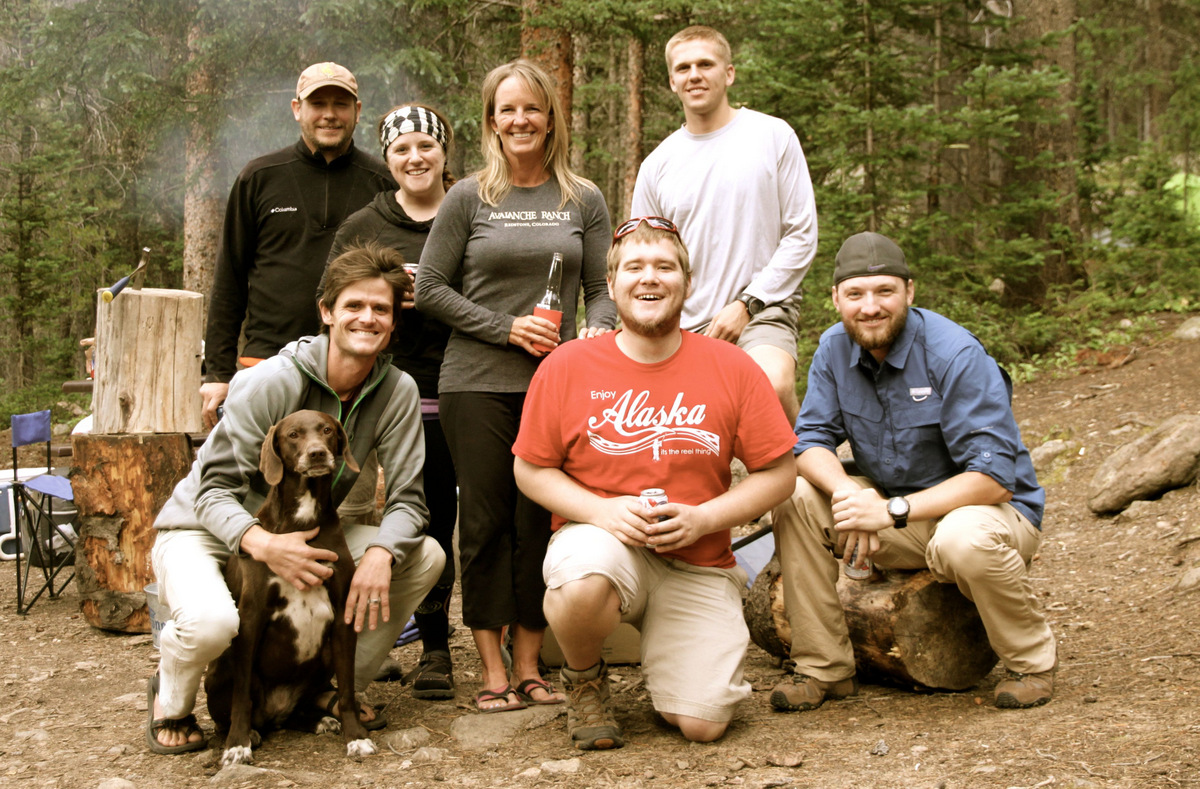
Some of our crew at our campsite
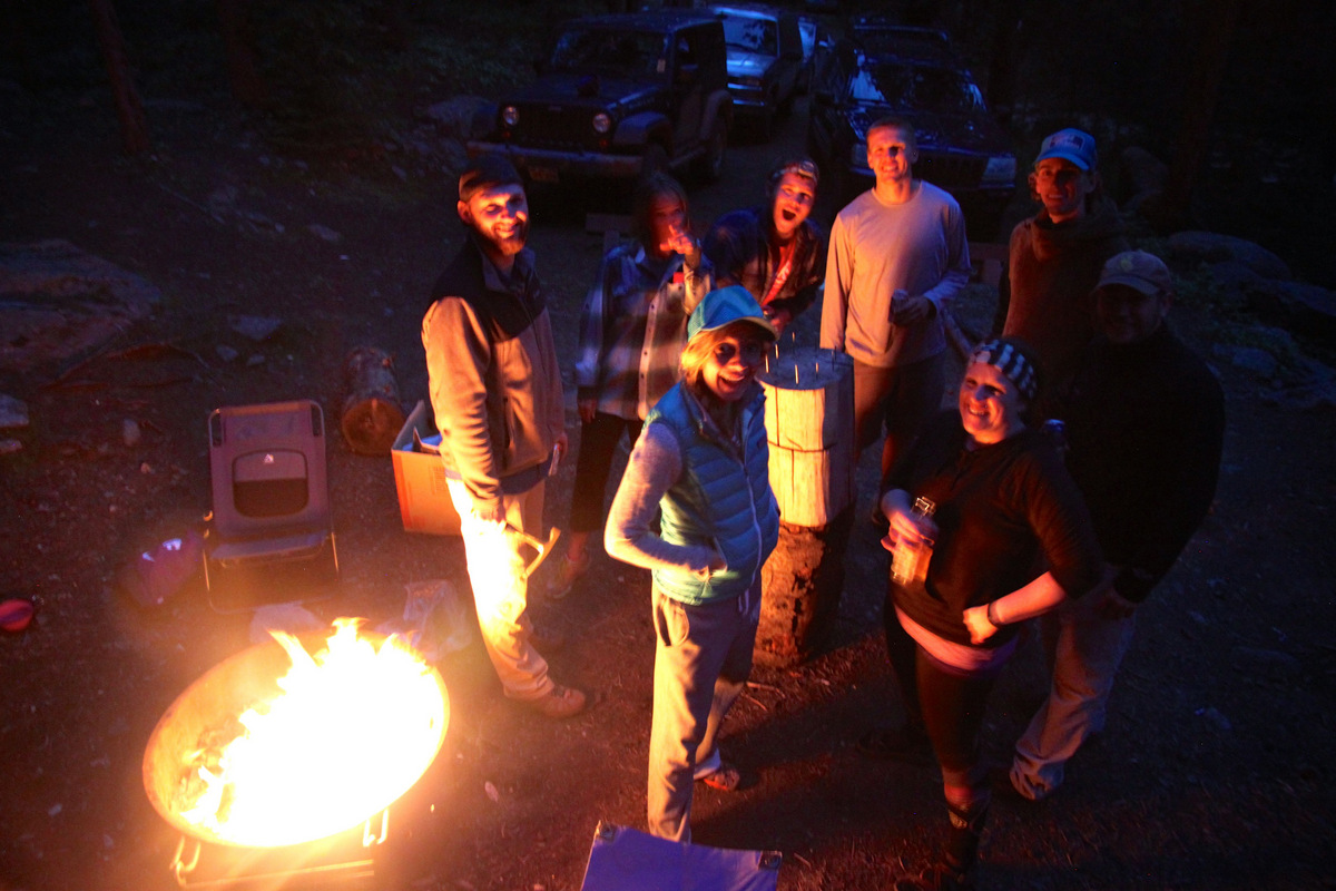
Playing Hammer Schlogger round the fire
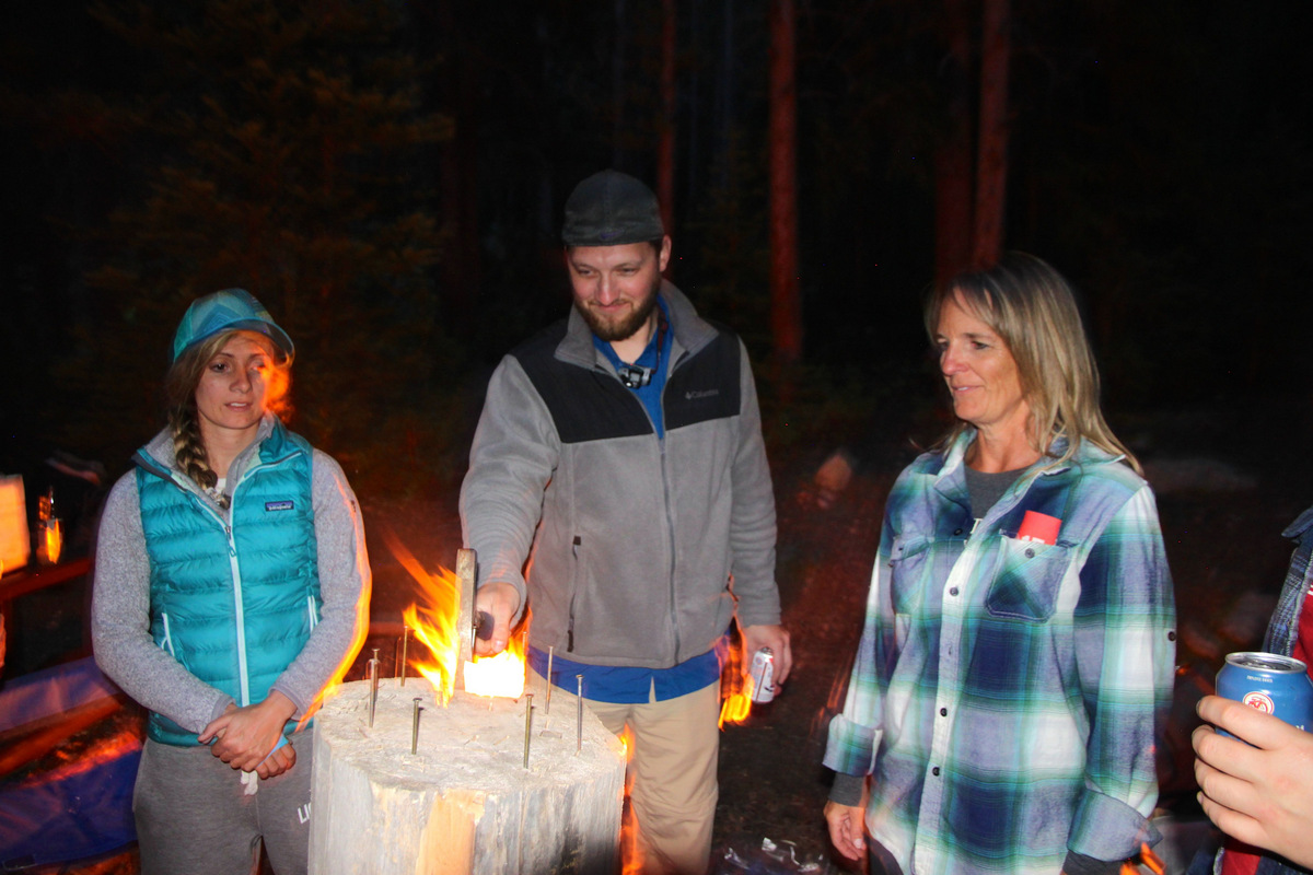
This is a fun game
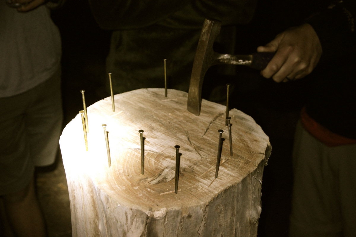
Just some nails, a wood block, and a hammer – that is all that is required
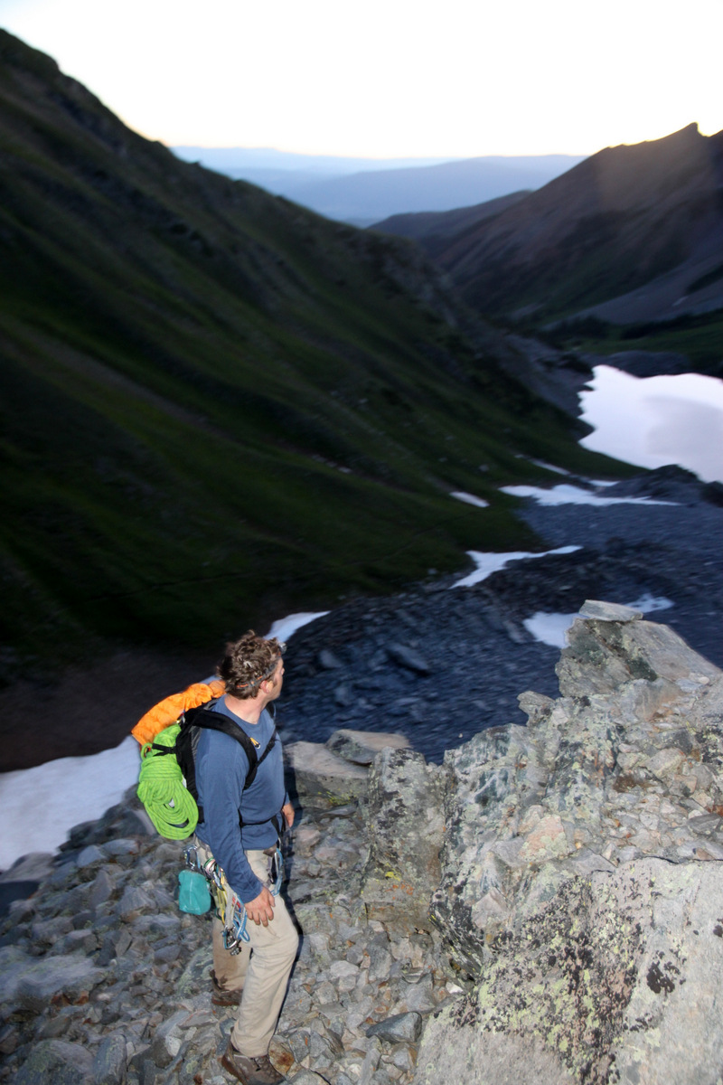
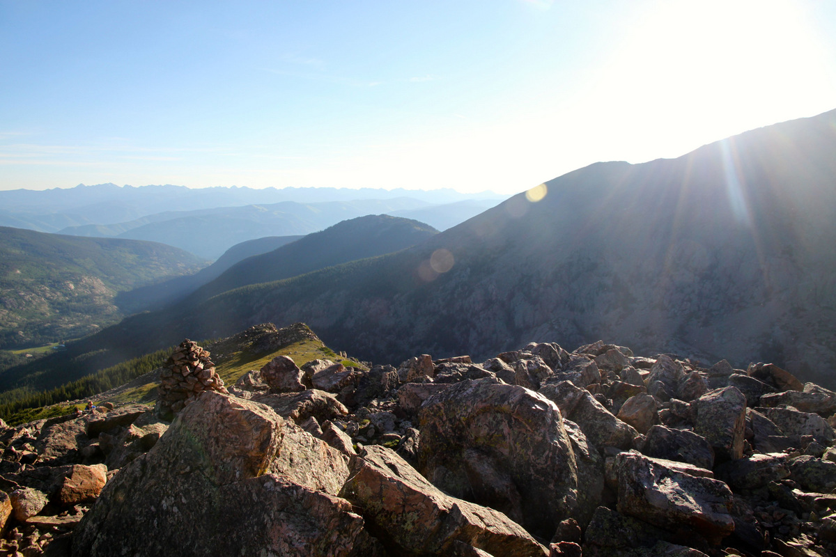
Up at 3am for coffee and oatmeal, we all geared up. Dan showed up just shy of 4am all bright eyed and ready to go. We finally got on the road/trail by 4:30am. Not too bad for a party of eleven and two dogs. It was gorgeous morning and the sunrise to the east was brilliant. Chelsey decided to hang at Halfmoon Pass and watch the sunrise and leisurely stroll back to camp where Trevor was undoubtedly sleeping in.
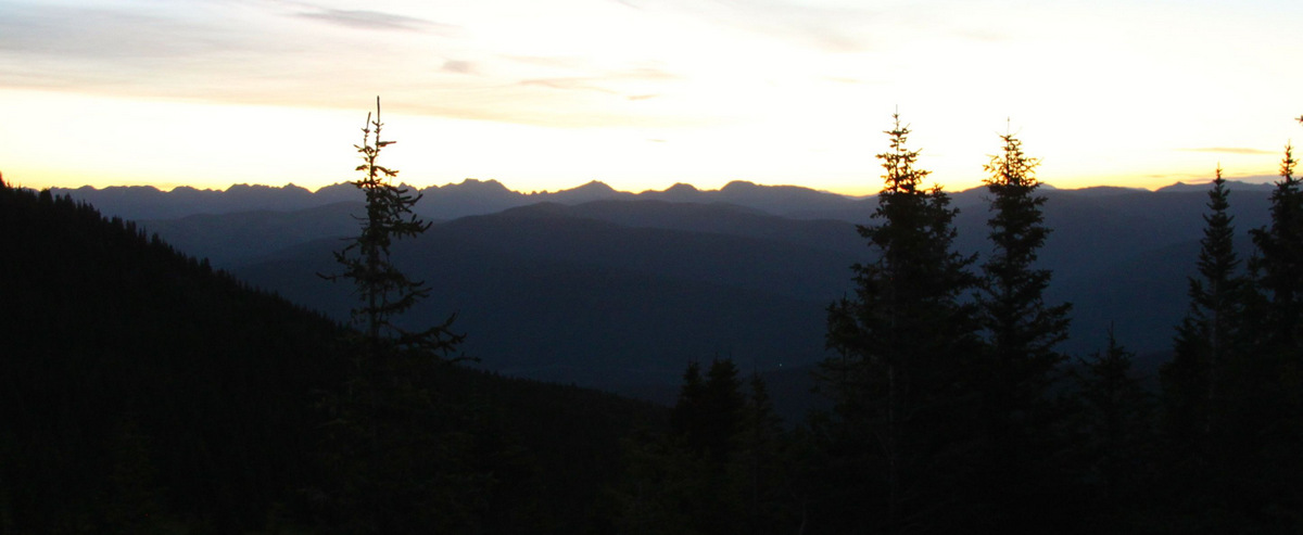
Sunrise over the Gore: Zodiac Ridge front and center
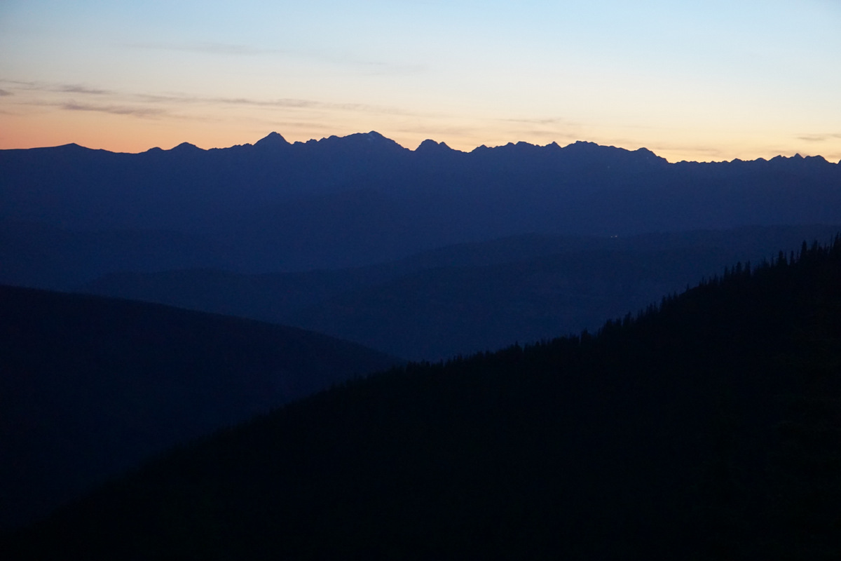
Gorgeous light over the northern Gore Range from Halfmoon Pass. Photo by Shawn Wright

Moon over Notch Mountain. Photo by Shawn Wright
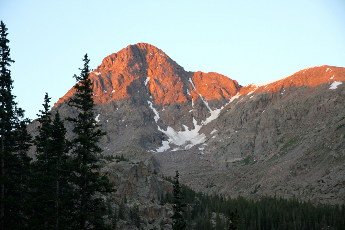
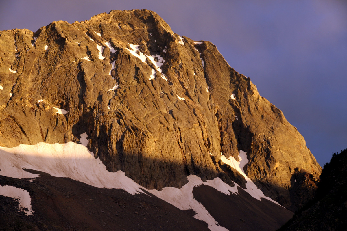
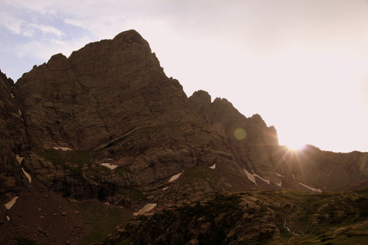
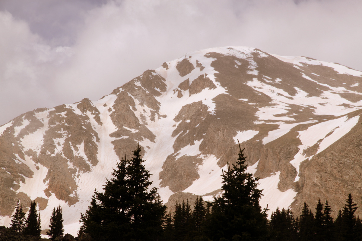
First light on Holy Cross while descending to East Cross Creek from Halfmoon Pass

Mt. Jackson
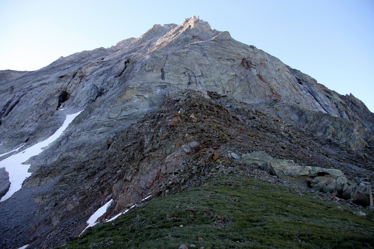
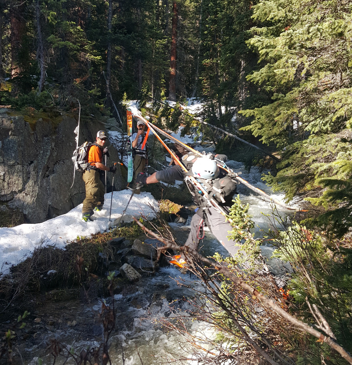
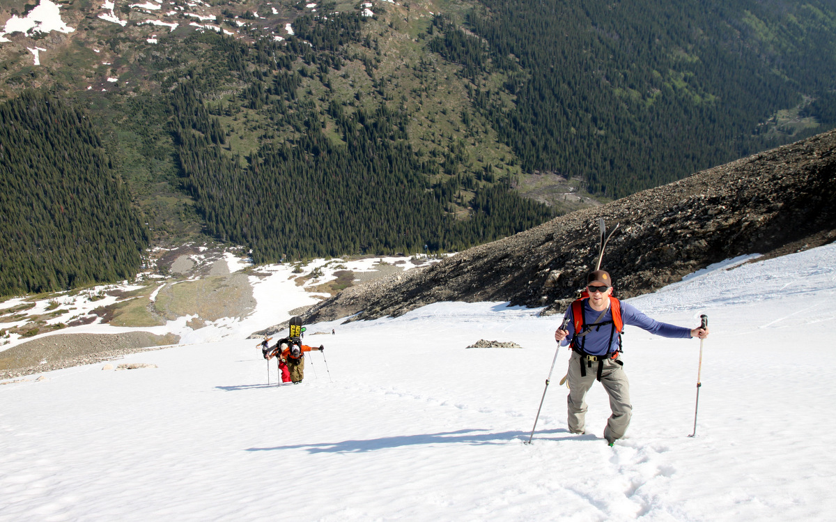
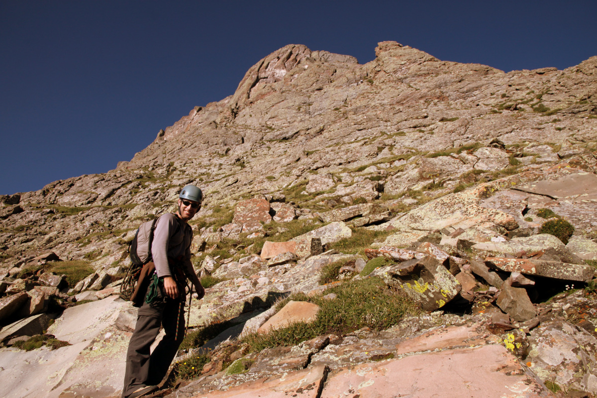
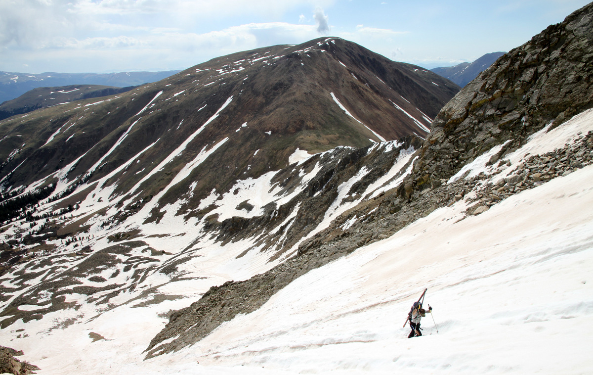
Dan and I (and Kona, of course), along with Tim, Brent, and Billy booked it down 1,000′ to East Cross Creek and folks grabbed a drink. I wanted to reach the others who were further ahead. Dan and I boogied up the lower section of the north ridge where the trail is so well-defined and a very nice trail at that. Much different than I remember 11 years ago where the trail was pretty faint. We caught up to Sam, Dylan, Billy, and Britta. Dylan then decided to hike with me at a brisk pace up the great north ridge trail to catch Shawn, Kelsey, & K9 companion Fitzy. Of course Dylan was right on my tail the whole time. He is a beast and a great athlete. He has also tried out as the kicker for Penn State’s football team and regularly kicks 60 yard field goals. Not bad at all. We reached Shawn, Kelsey, & Fitzy at about 13,000′ and all hiked together from then on to the summit.
Looking north to the Gore Range from Holy Cross’ north ridge
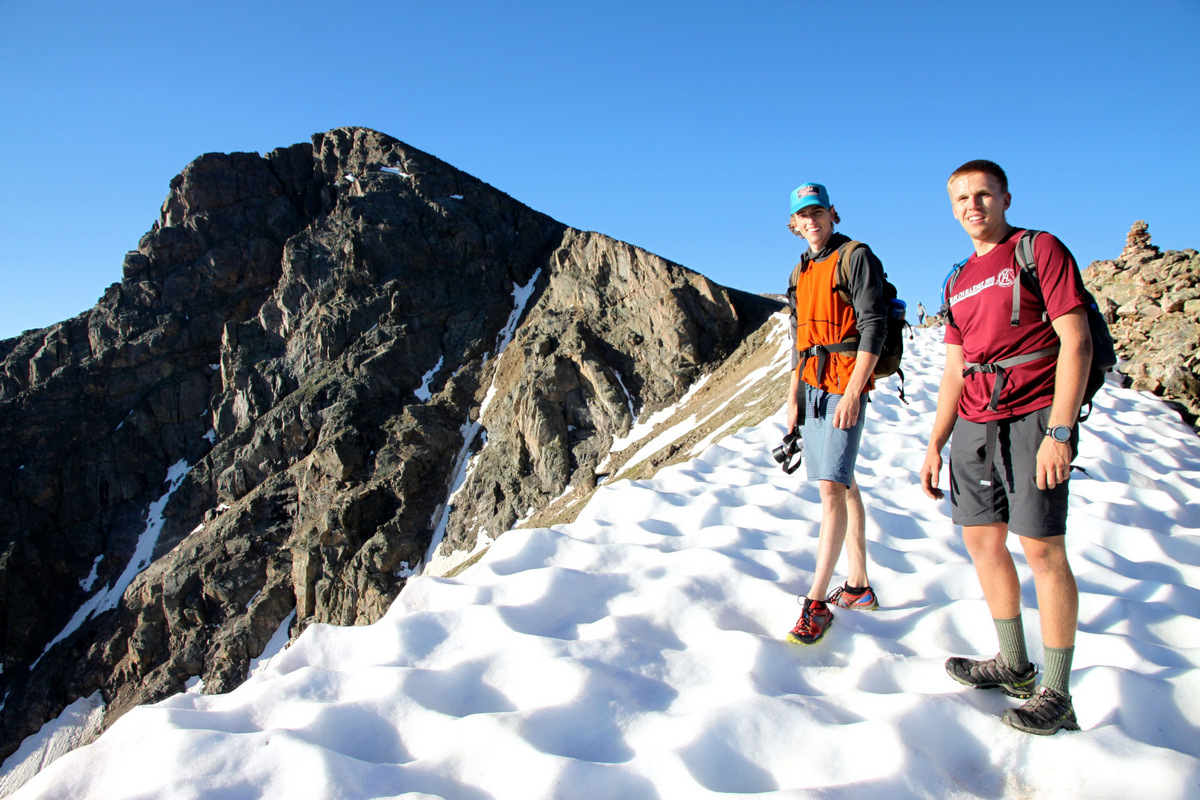
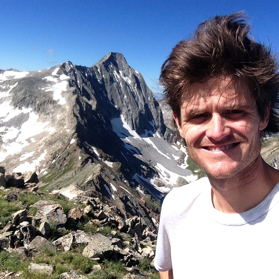
Shawn & Dylan with Holy Cross’ summit behind
Dylan with Notch Mountain behind
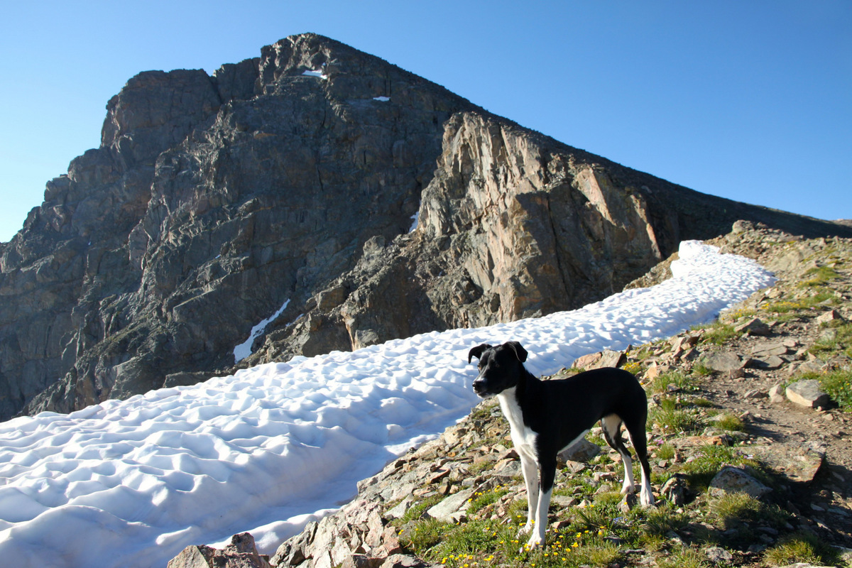
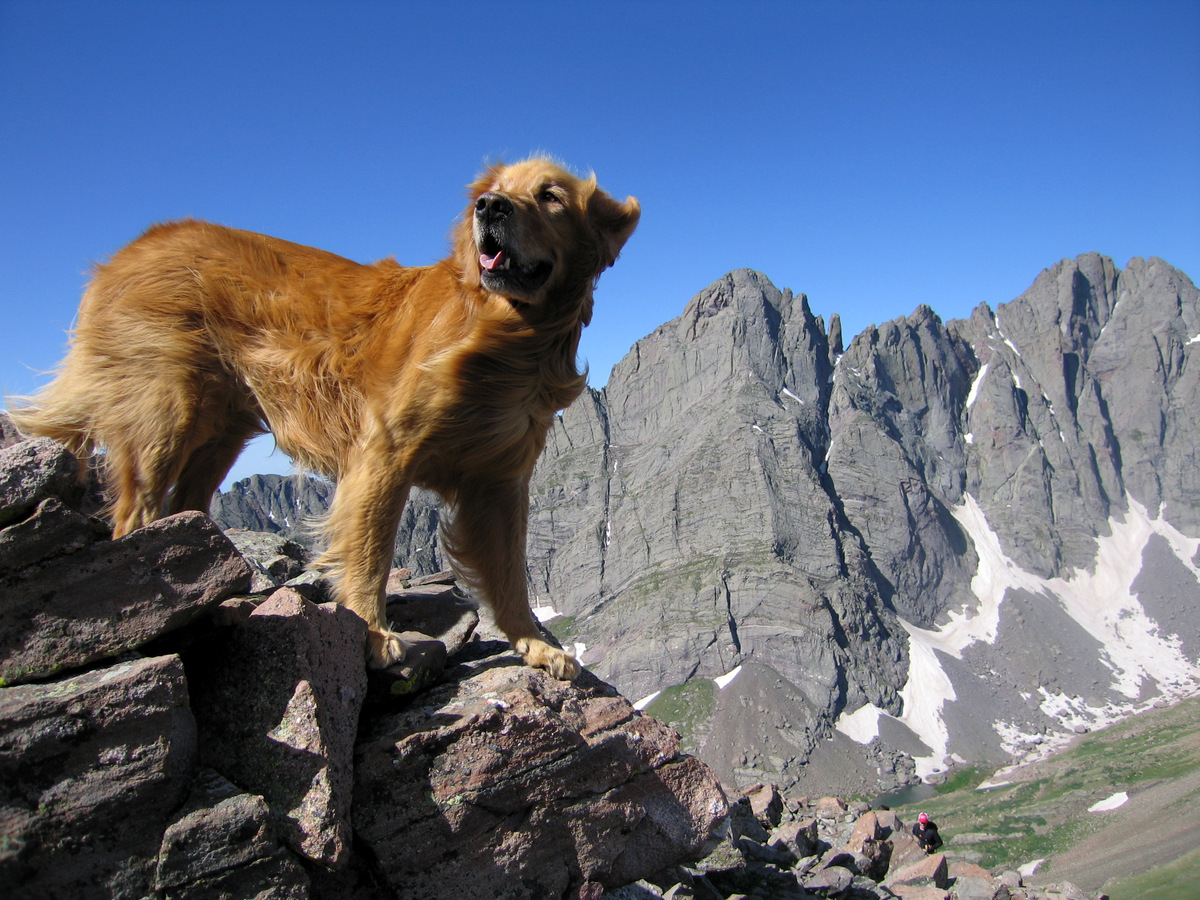
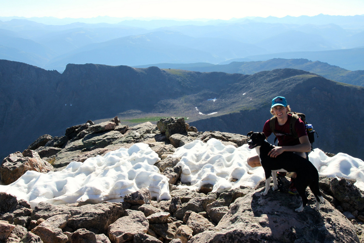
Fitzy with the summit of Holy Cross behind
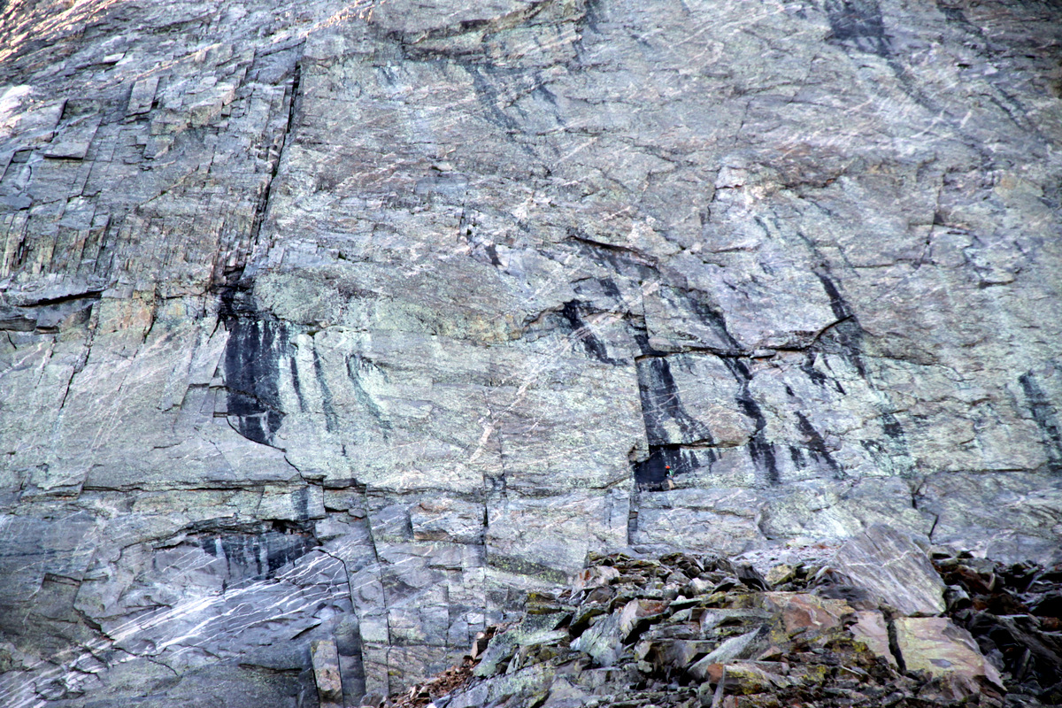
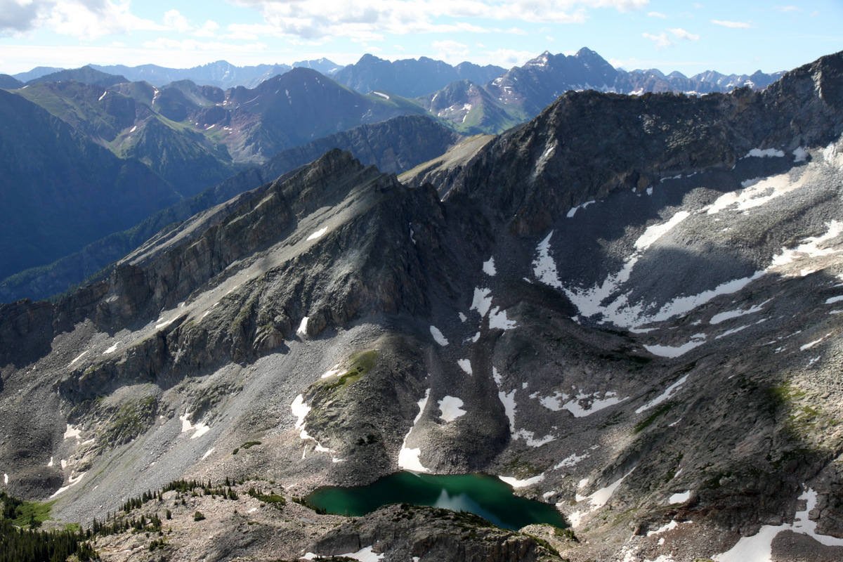
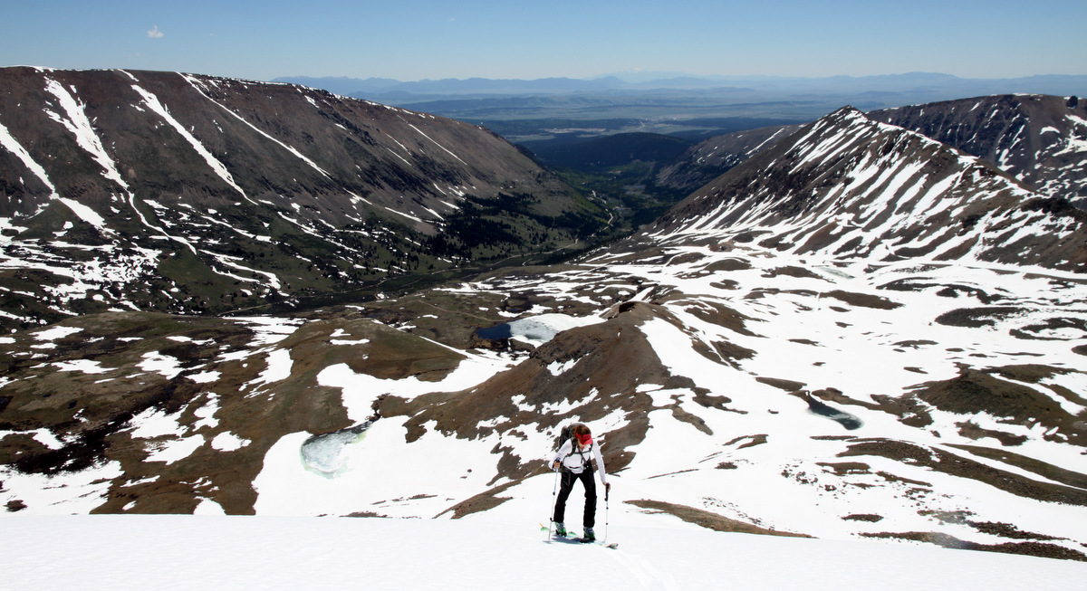
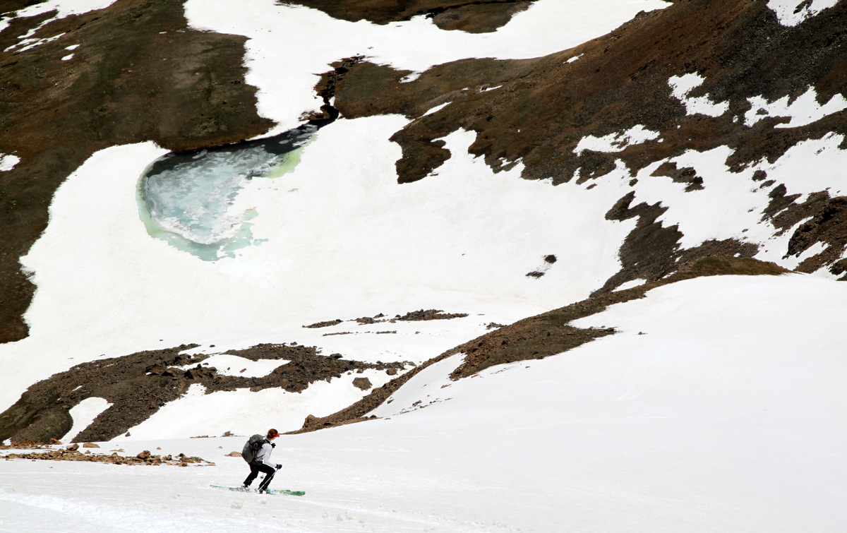
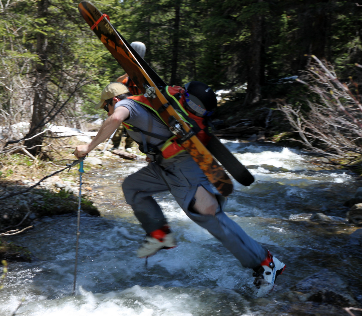
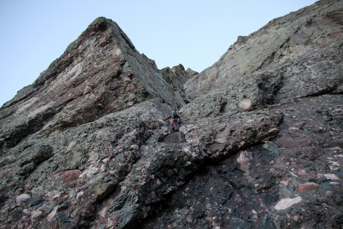
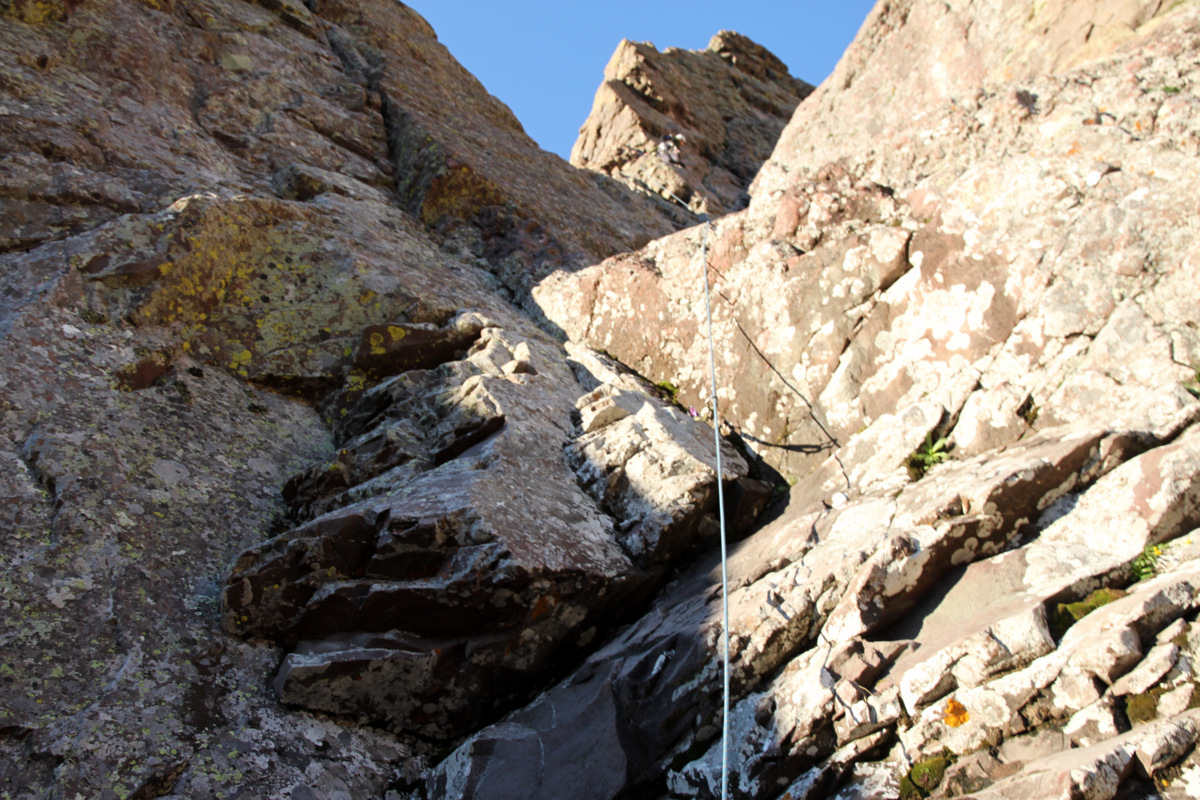
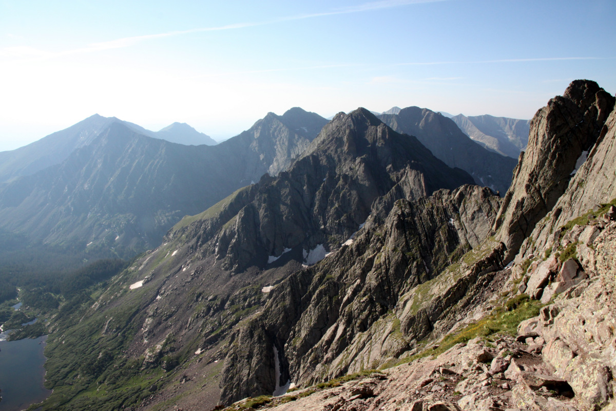
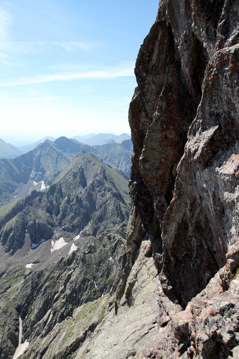
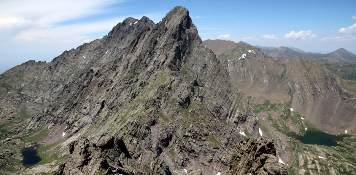
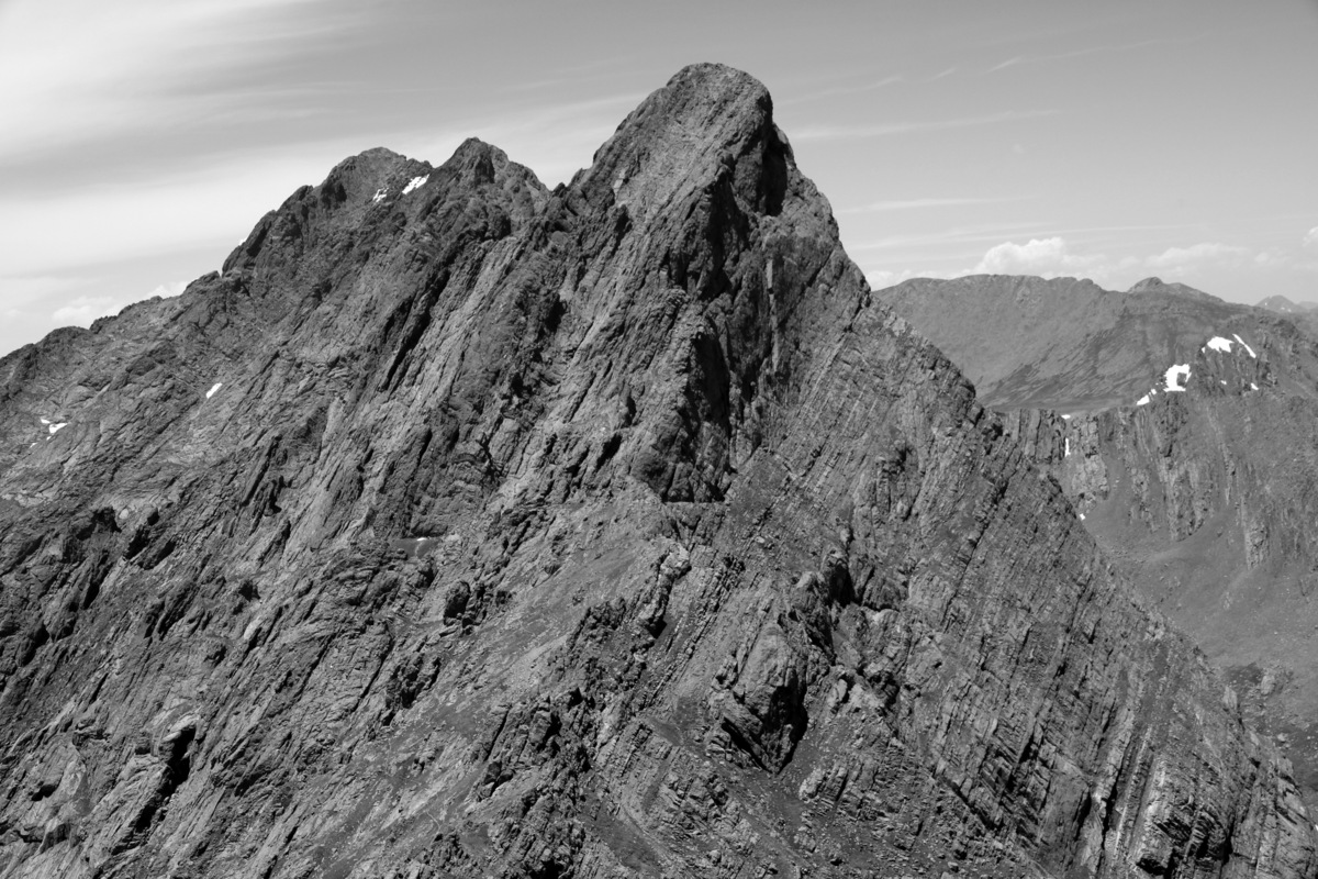
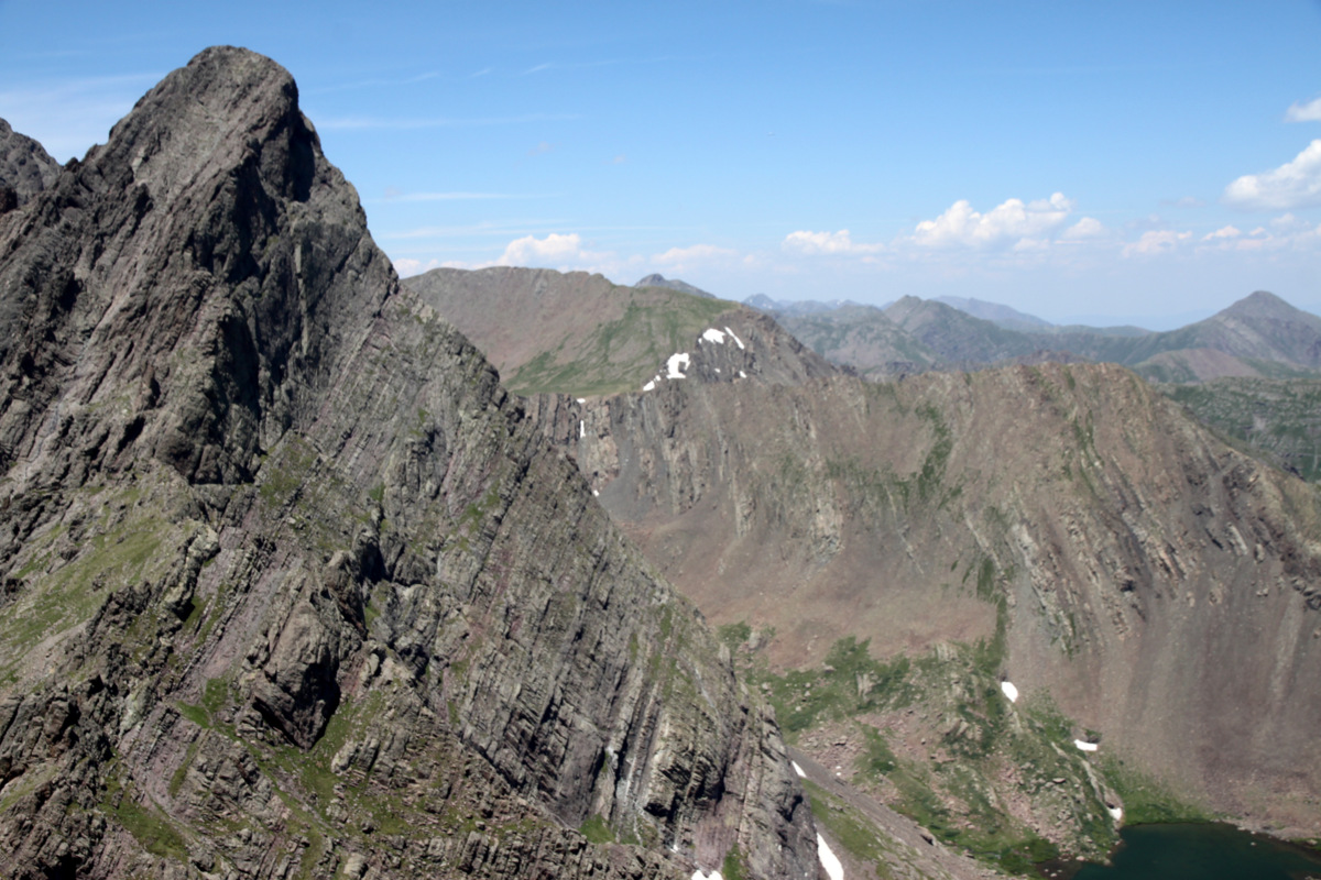
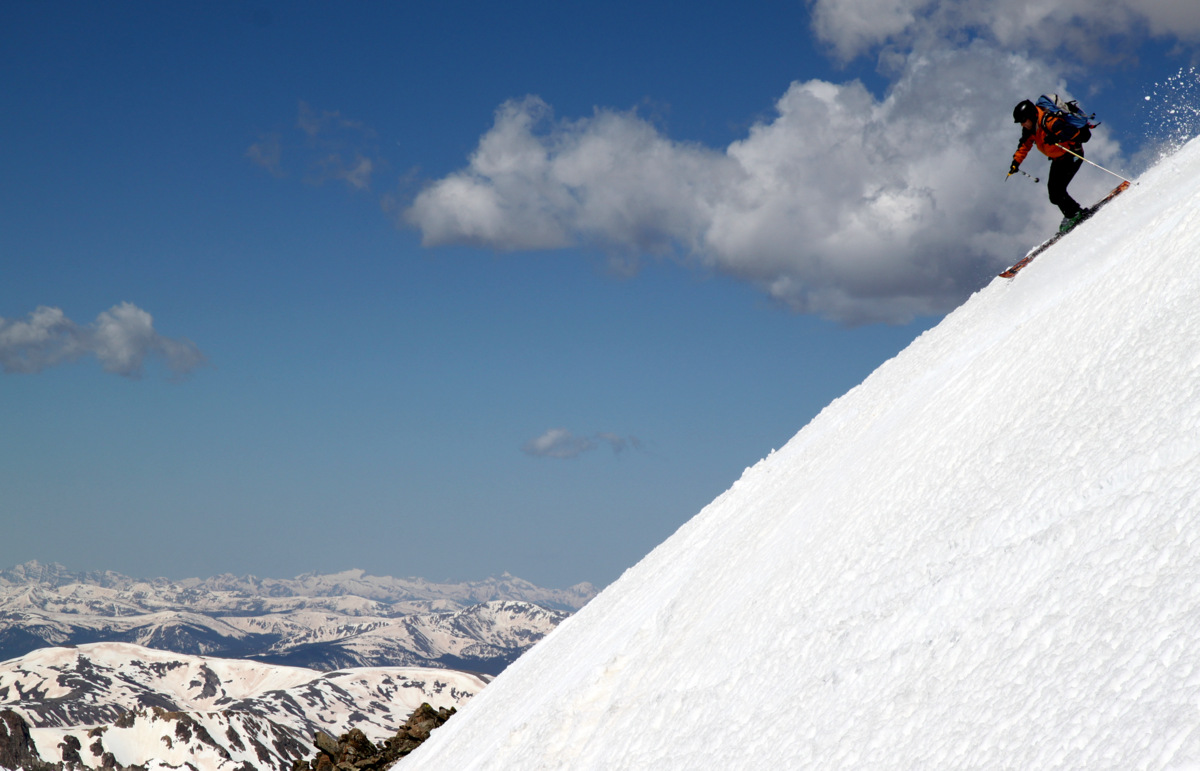
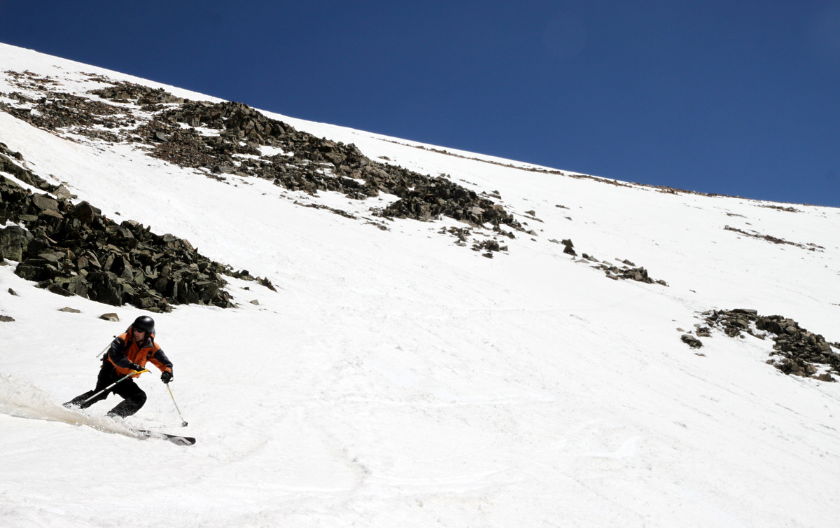
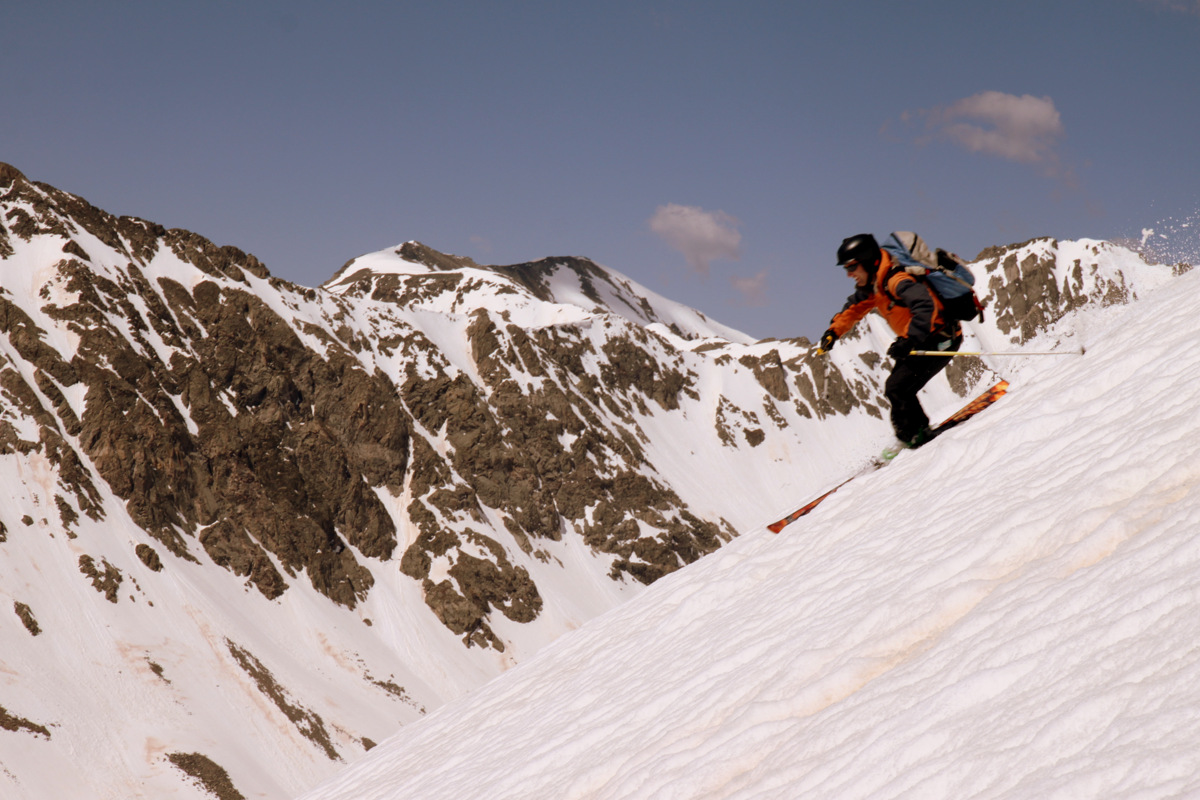
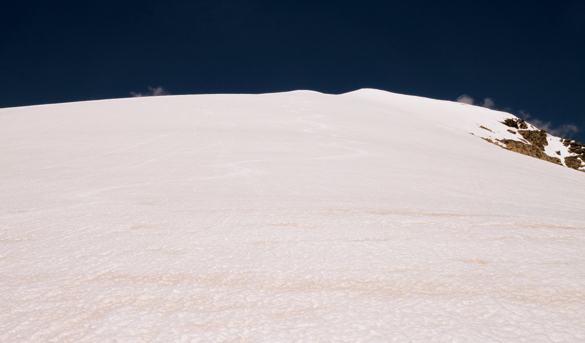
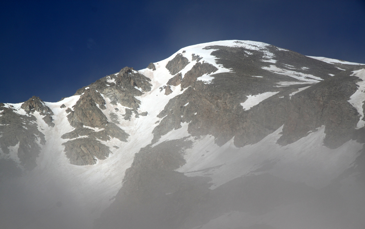
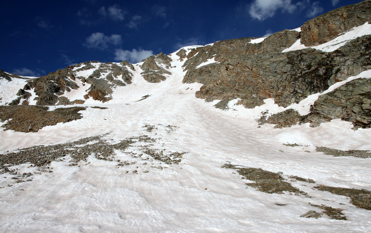
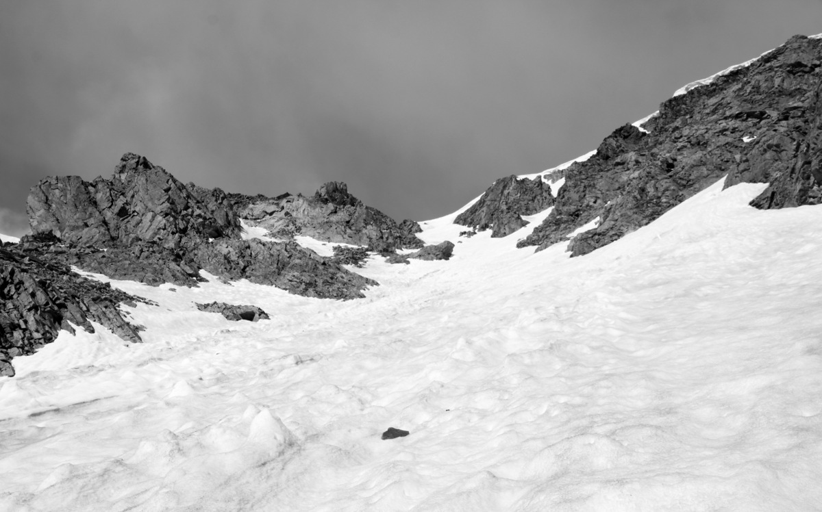
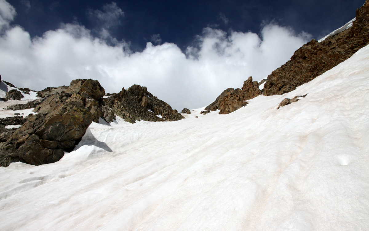
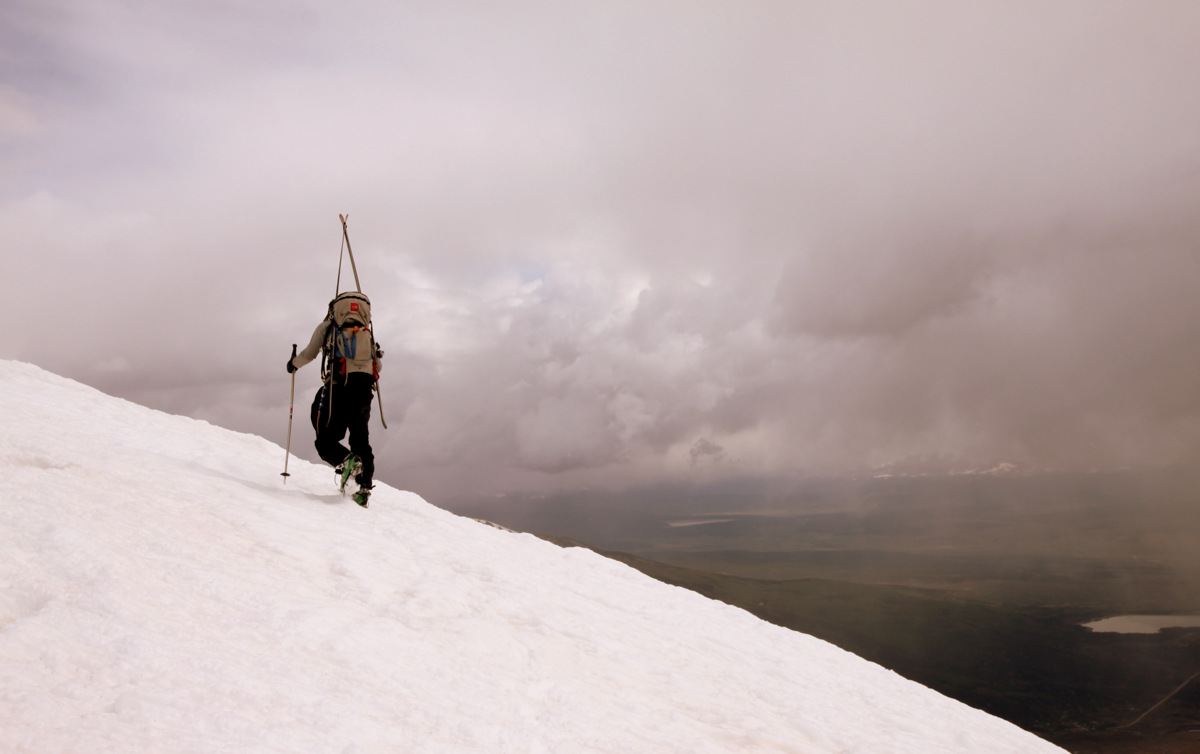
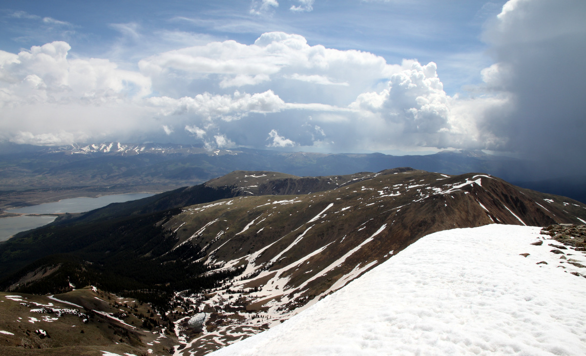
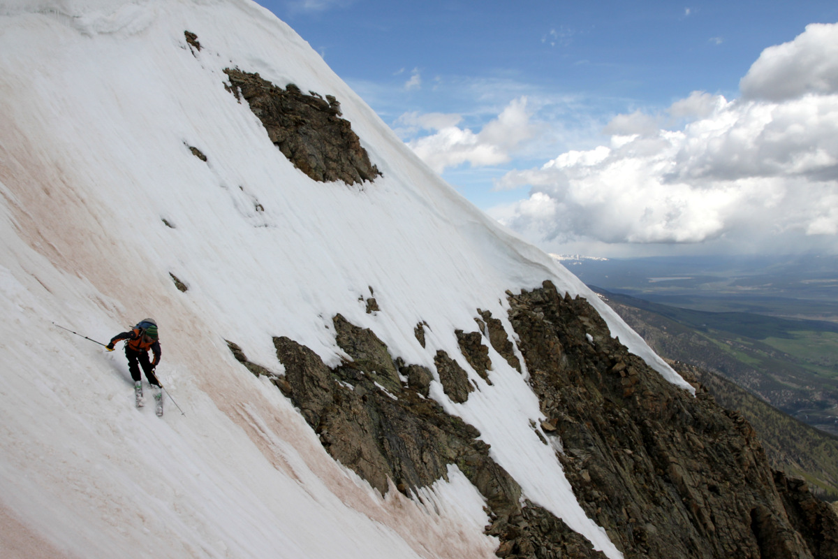
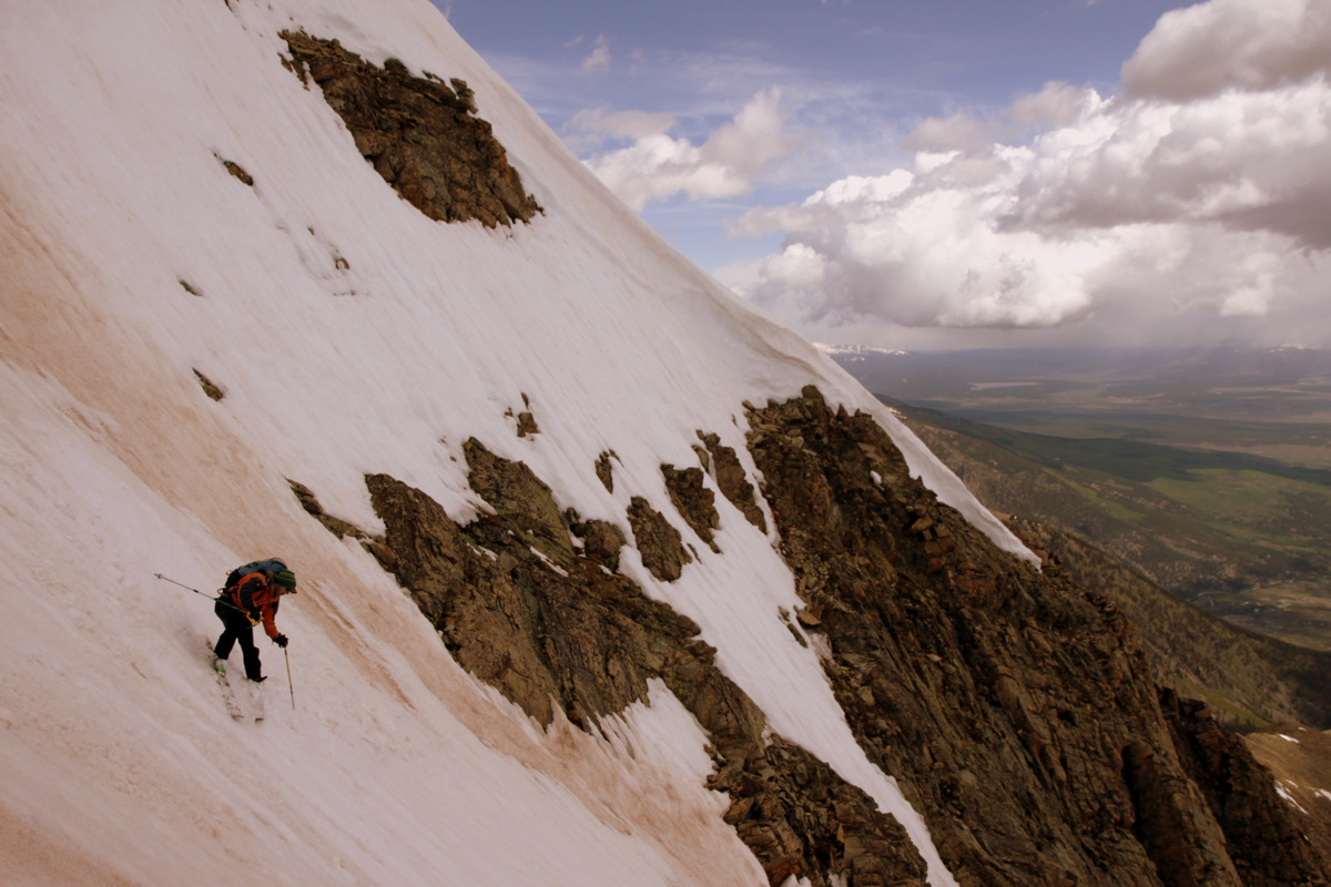
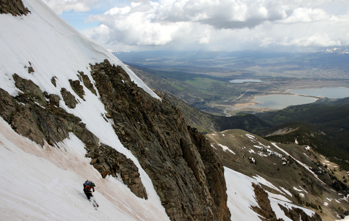
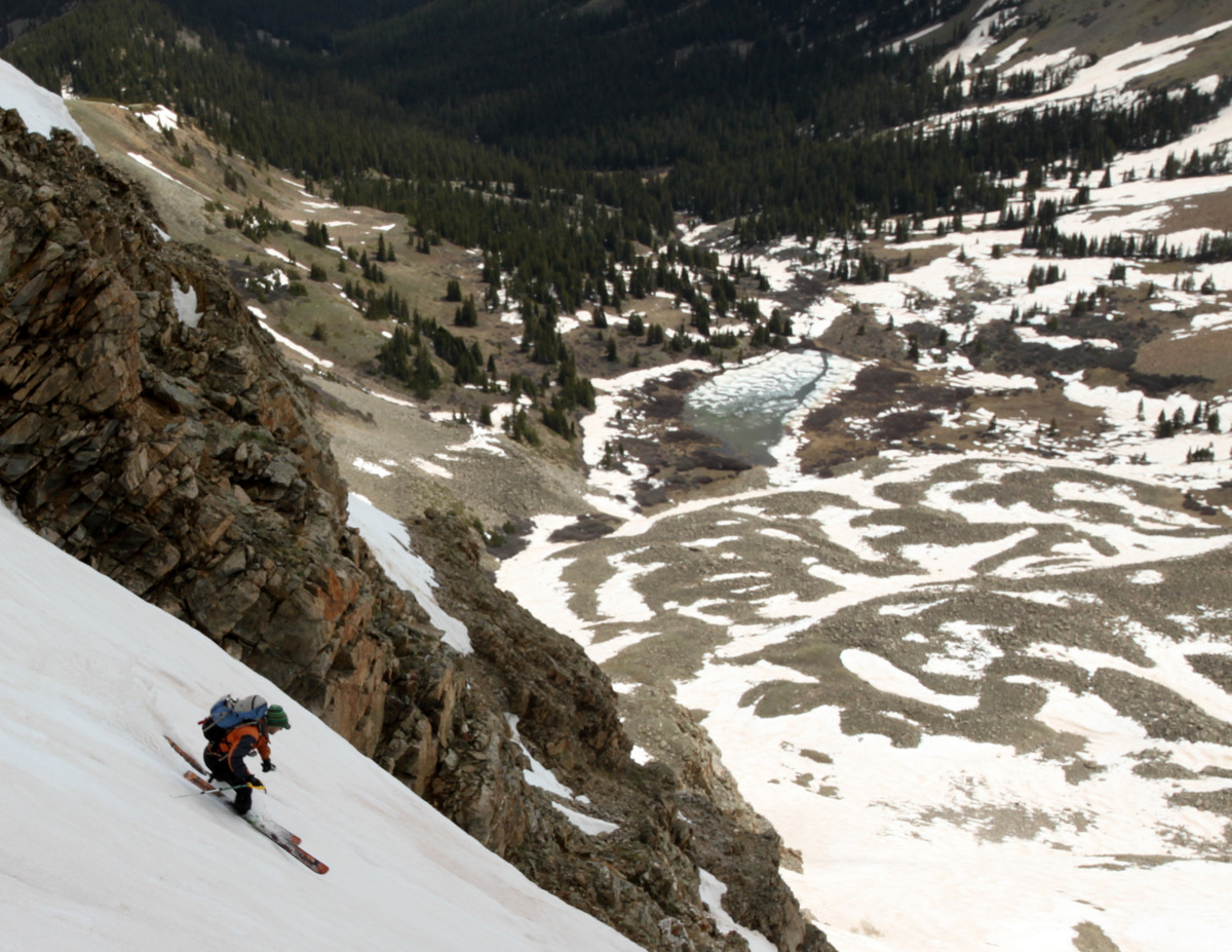
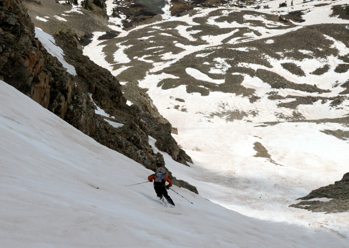
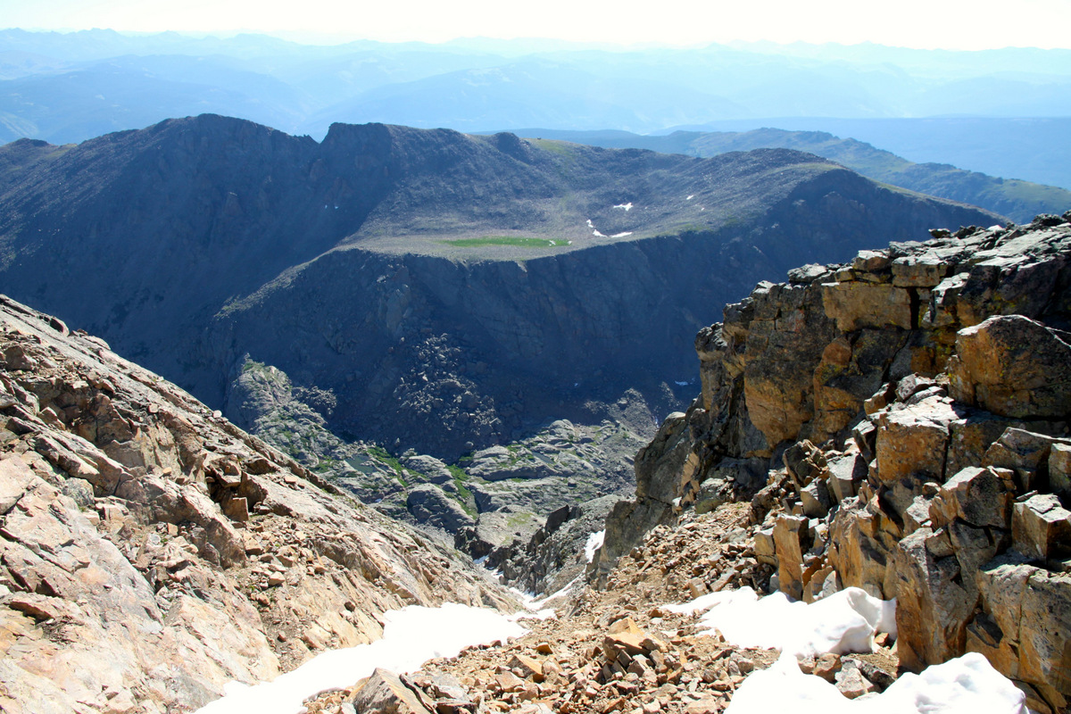
A few hundred feet below the summit, we peered down the ole Angelica Couloir. It would be a nice ski someday.
Looking down the Angelica Couloir
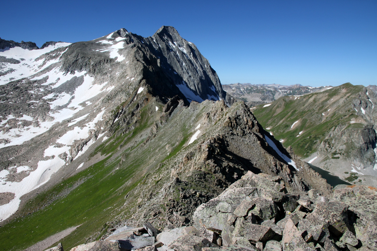
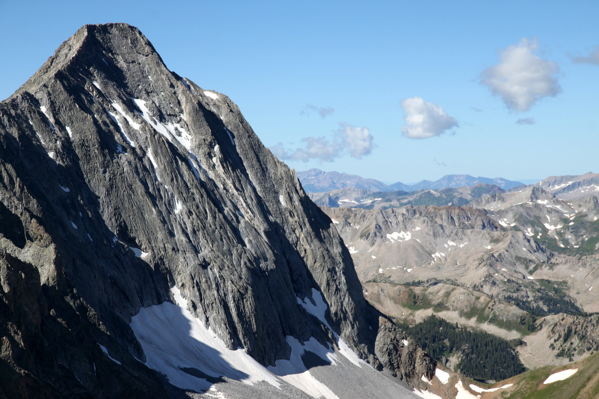
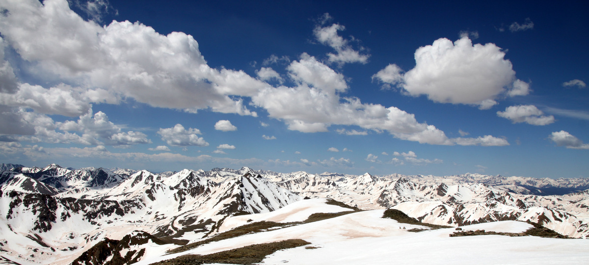
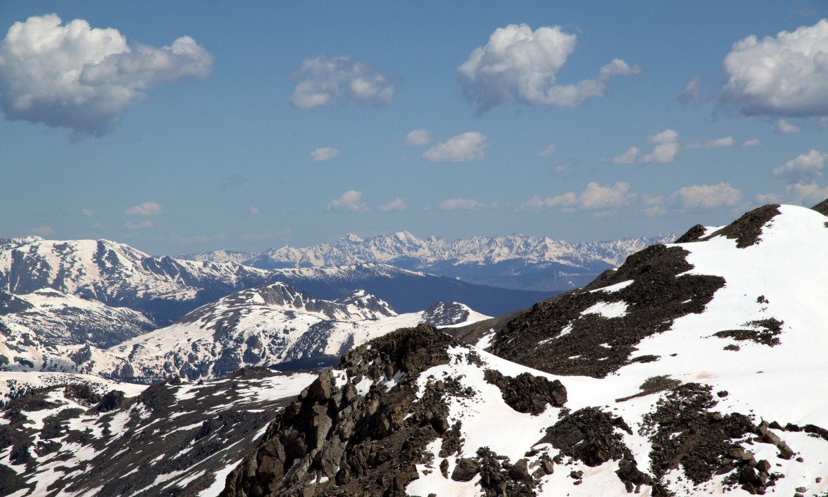
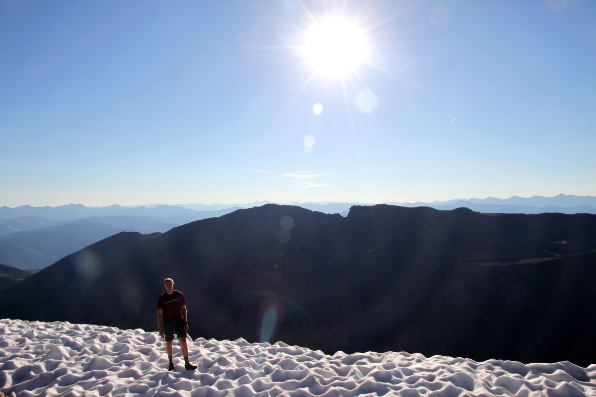
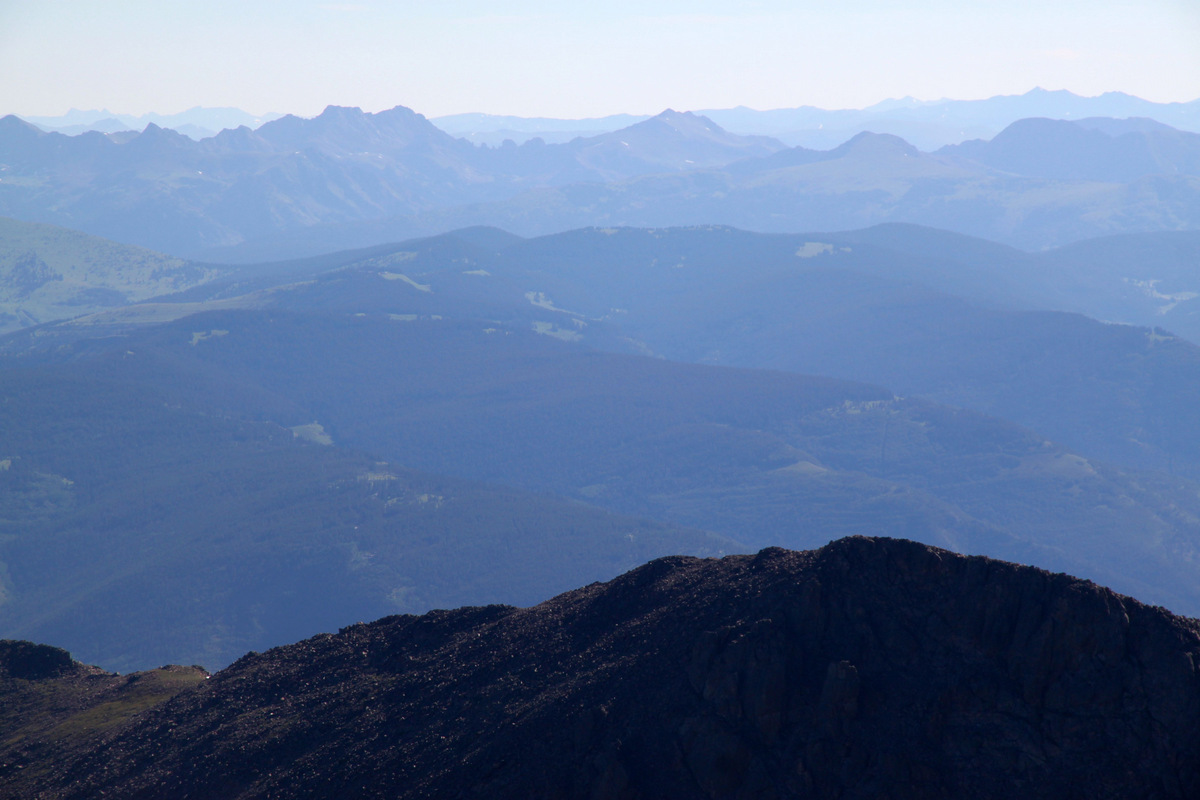
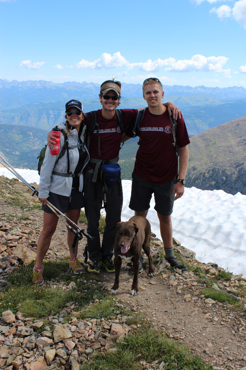
Arriving on the perfectly windless Holy Cross summit around 8:15am, we dropped our packs and soaked in the views every which way. I forgot just how amazing the views are from this perch. Its the only peak rising above 14,000′ for a long distance in every direction. From the Elks to the south, the Flat Tops to the northwest, the Gores to the northeast, and the TenMile and Sawatch to the east and southeast, the views are unobstructed.
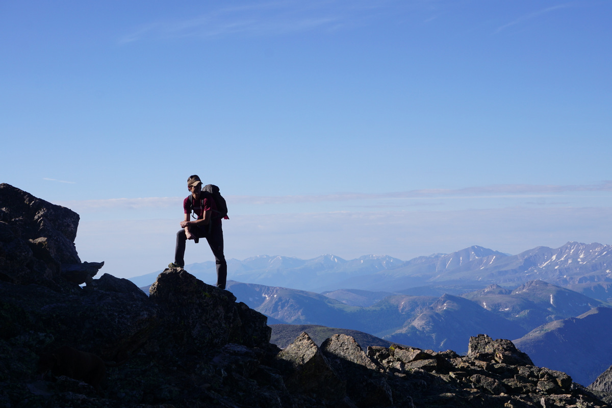
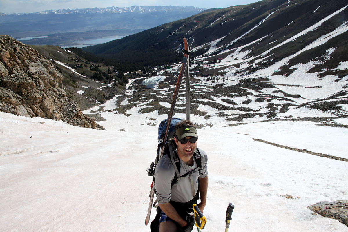
Me taking in the views almost to the summit. Photo by Shawn Wright

Minturn in the valley, Vail’s Game Creek Bowl, and the northern Gore Range
The southern Gore Range
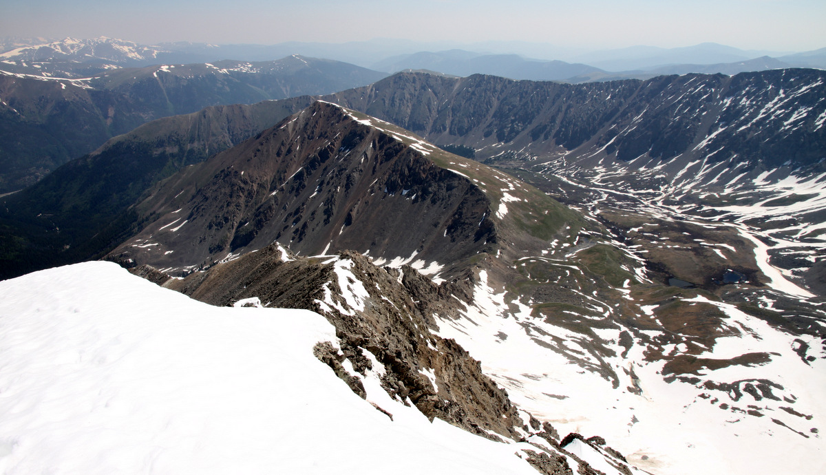
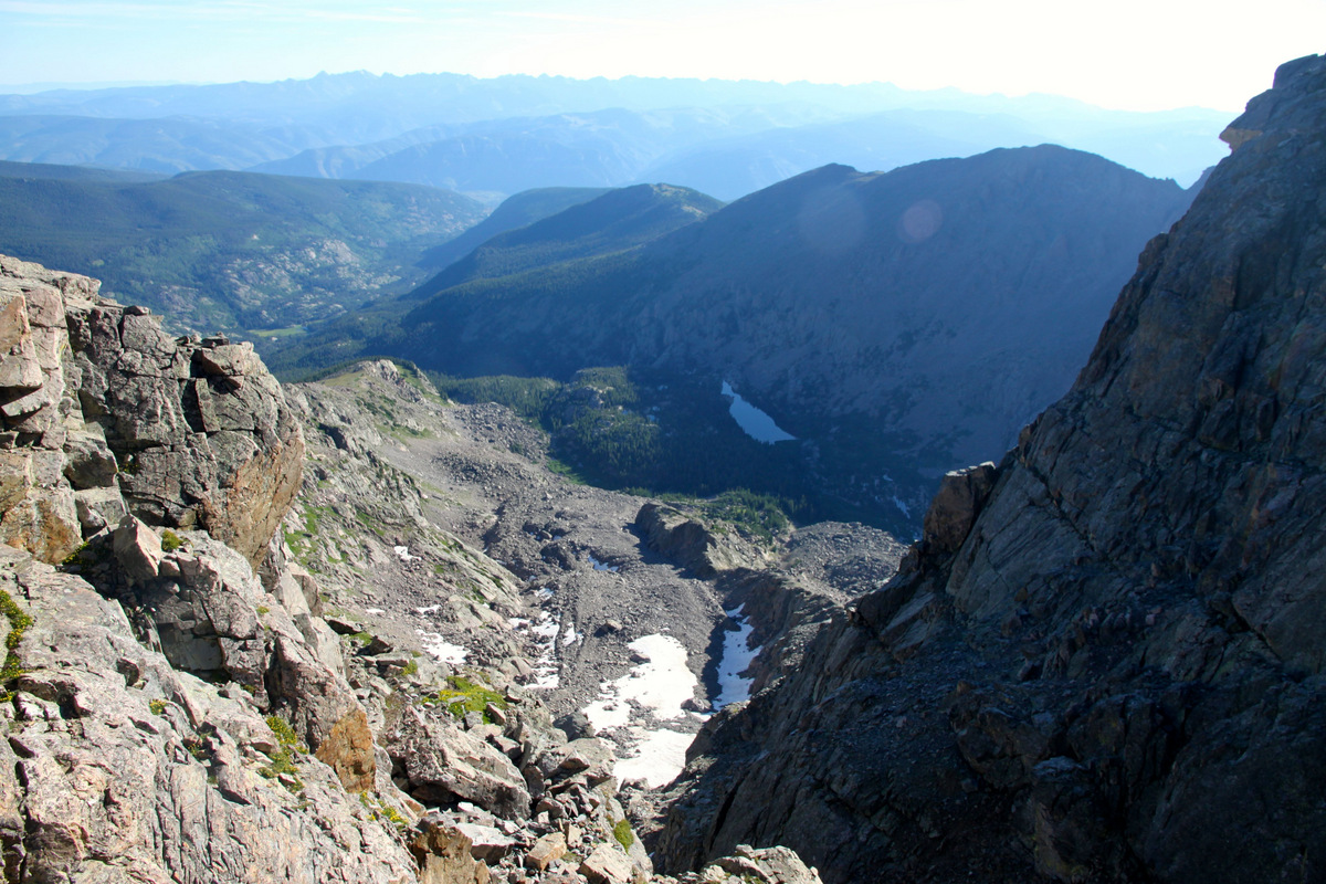
Looking down the east-facing Cross Couloir over to Notch Mountain

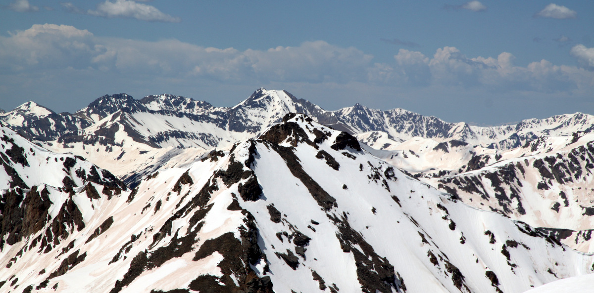
Righ to left: The Maroon Bells, Pyramid Peak, and Castle Peak all visible in the Elk Range

Right to left: Mt. Daly, Capitol Peak, and Snowmass Mountain visible in the Elk Range
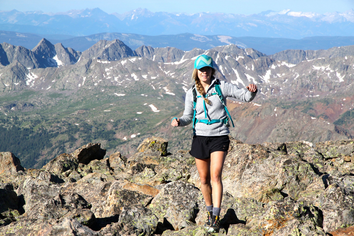
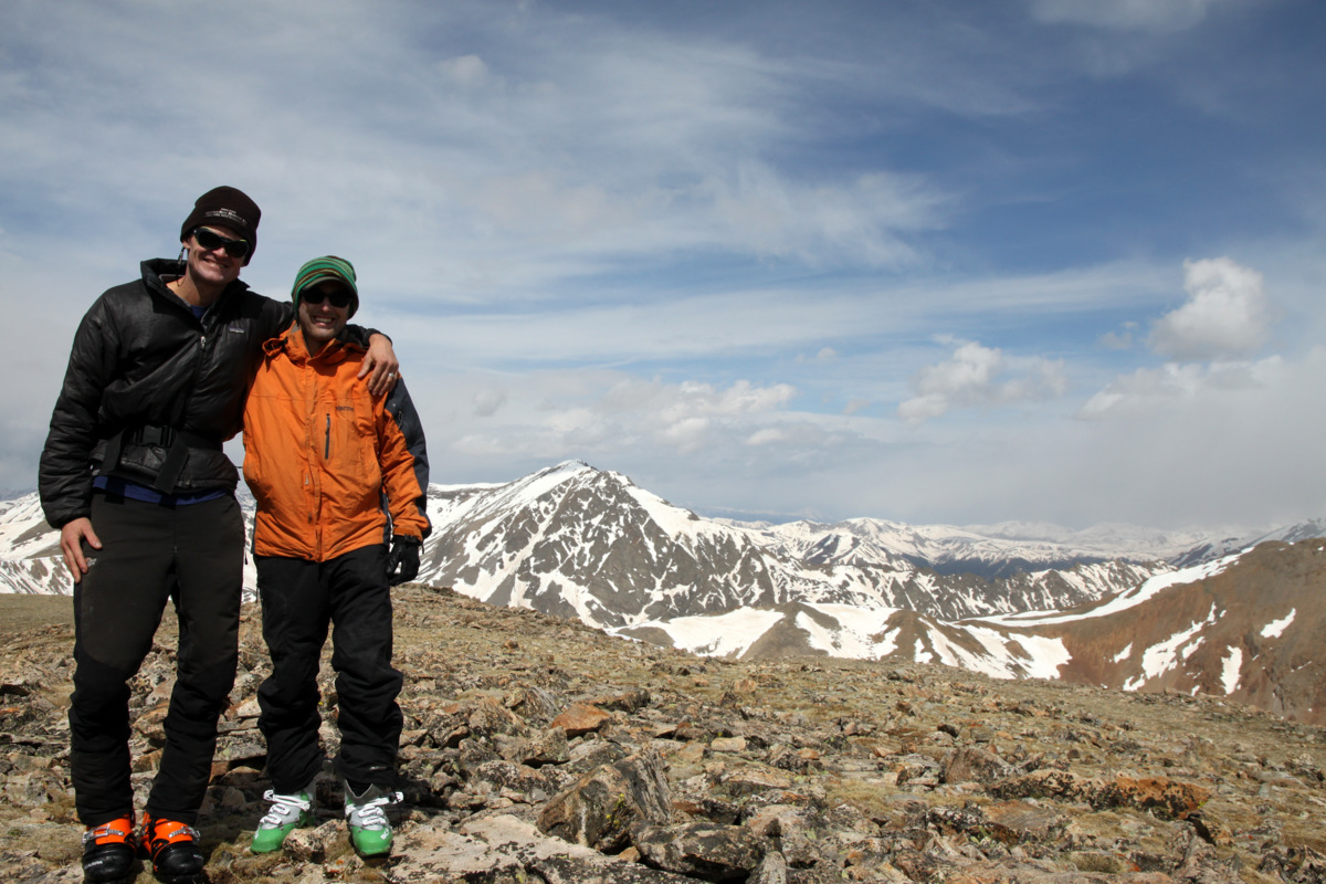
Kelsey on her 1st 14er summit!
Shawn & Fitzy on Holy Cross’ summit
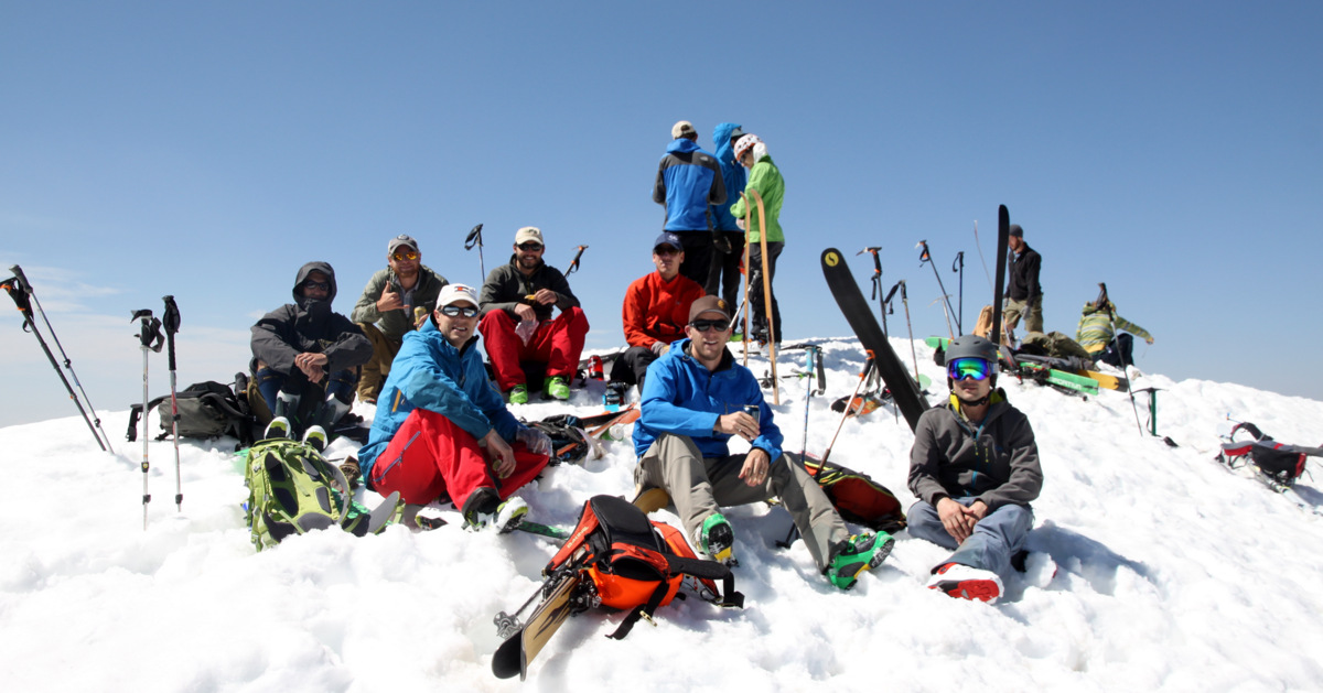
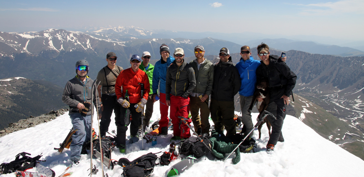
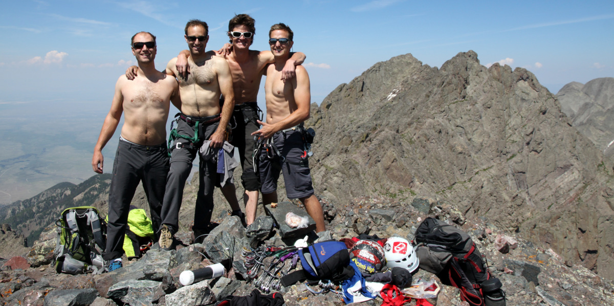
Dan, Sam, Billy, & Britta arrived about 9:20am and Tim followed around 9:30am. Brent had turned around on the north ridge at about 11,800′ just above treeline. Kona and I scampered back down to to just above the Angelica Couloir to make sure I didn’t seen Brent coming up. Who I thought may be him turned out not to be. We then hiked back up to the summit. There were lots of folks on the summit – maybe 30 climbers. Dan had asked one of the trail crews how many people were on the peak today and he estimated maybe 110 people. He said it was typical for a Saturday in the summer. Amazing. A decade ago, I bet that number would be less than 10 people. It was wonderful to see Sam so excited to be up there. It looked as if she had been doing these peaks for years. I broke out our BGCE company banner and we got the requisite group summit shot.
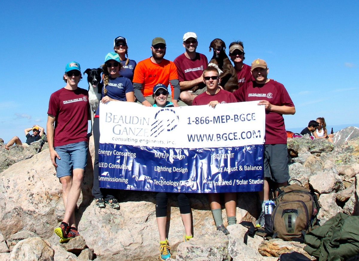
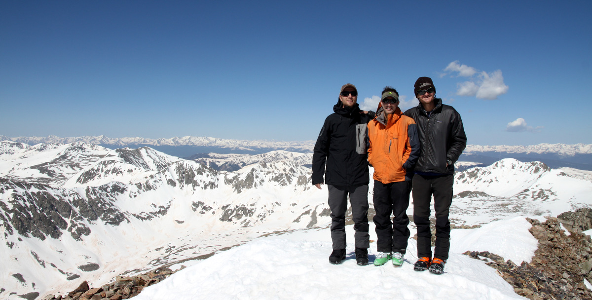
BGCE on the summit of Mt. of the Holy Cross (14,005′)
Me and Kona
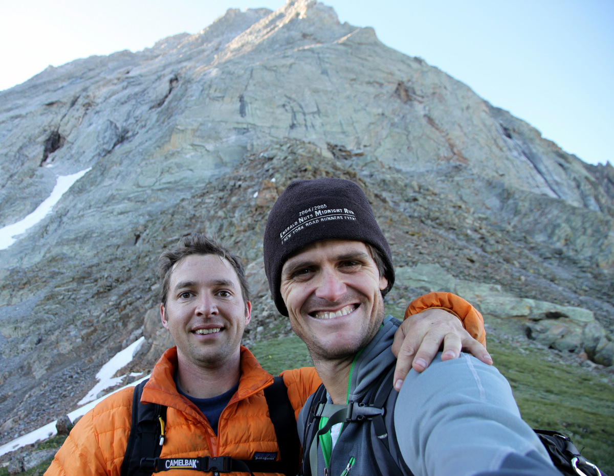
Dan and I on the summit of Holy Cross
A cool summit panoramic of Vail’s back bowls and the Gore Range by Shawn Wright. Click to enlarge
Holy Cross summit boulder and USGS summit marker
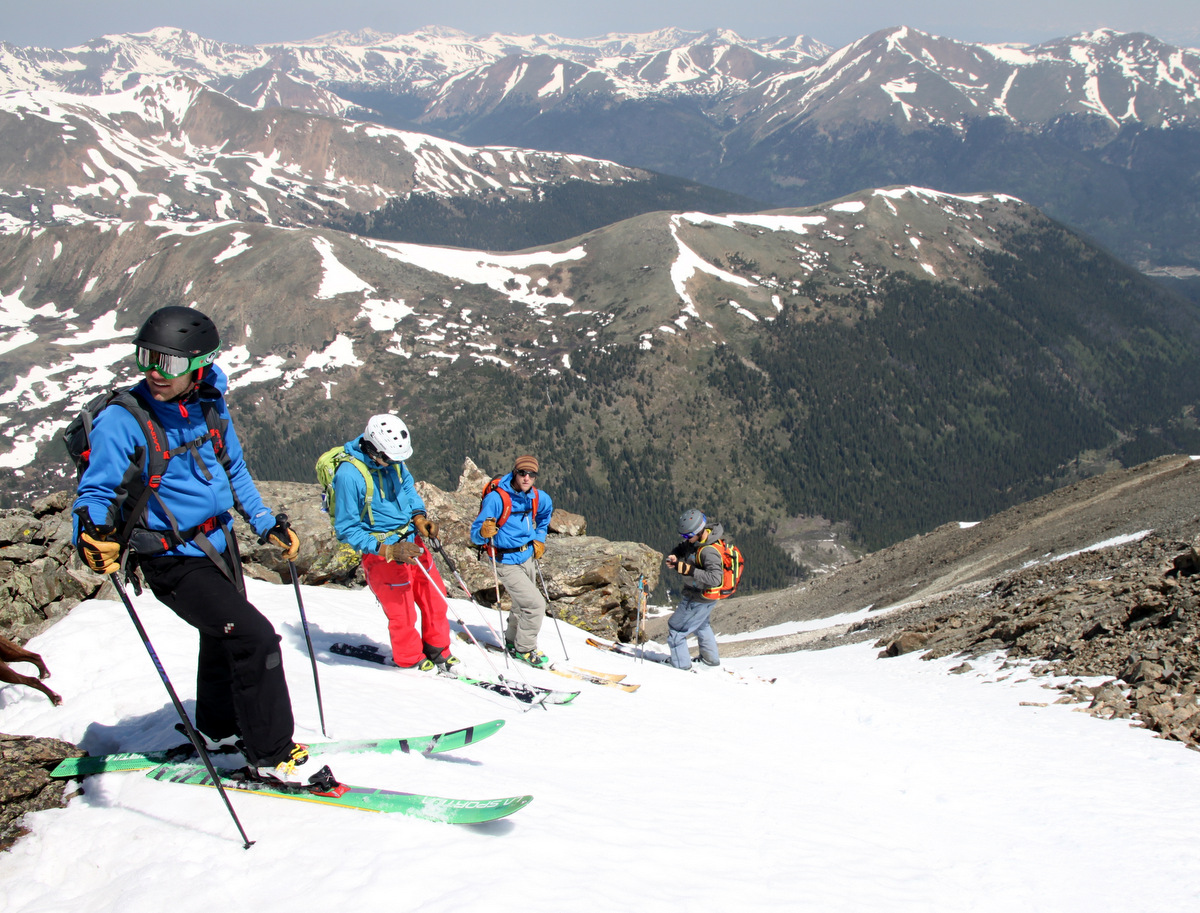
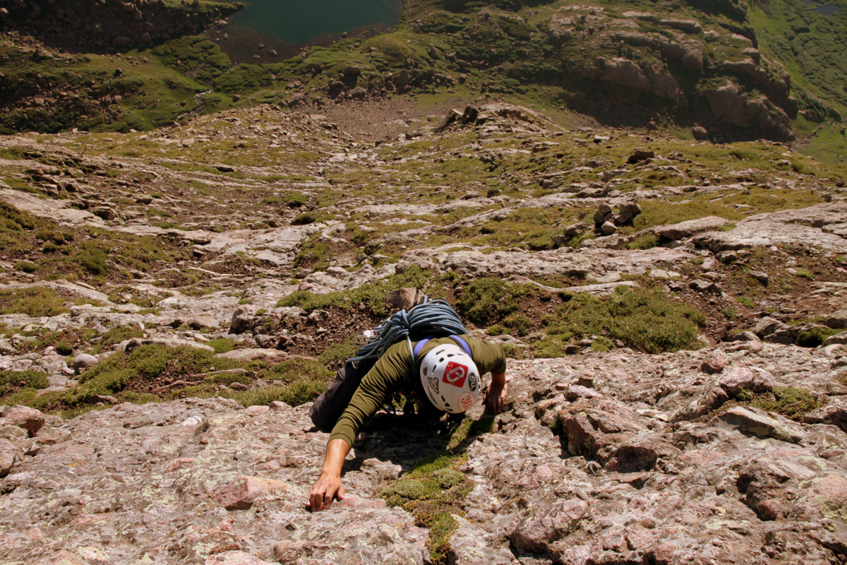
We all left the summit around 10:15am and made our way down the boulders to the north ridge. Shawn, Kelsey, & Fitzy motored ahead to meet his parents as they were leaving the Valley the next morning to head back to Minneapolis.
Sam, me, Dylan, and Kona on the north ridge during the descent. Photo by Dan
Tim and Britta were together, Dan and Sam stayed together, and Dylan, Kona, & I made our way down the north ridge to East Cross Creek where we tried to wait for the others, but the mosquitos were just too bad. Though, we did refill with water and Kona took a much needed drink and swim to cool off. The three of us motored back up to Halfmoon Pass catching Billy along the way and we made it back to the campsite around 1:45 pm to find Brent, Chelsey, and Trevor sitting around the fire. The remaining folks all arrived by 2:30pm and we sat around for a bit and recapped the day. Kirby Cosmo’s BBQ Bar in Minturn was on tap for a post-hike celebration, so we quickly packed up and headed down the Tigiwon Road. Things worked out really well for our crew up on Holy Cross this day. From the weather, the group, the camaraderie, it was all so very enjoyable. Thanks to everyone for their positive attitude and excitement. Congratulations to all!
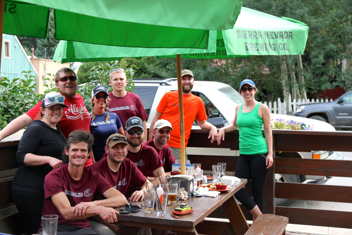
Celebrating at Kirby Cosmo’s
 Follow