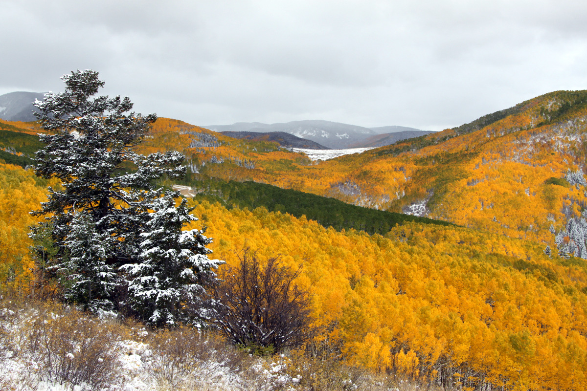
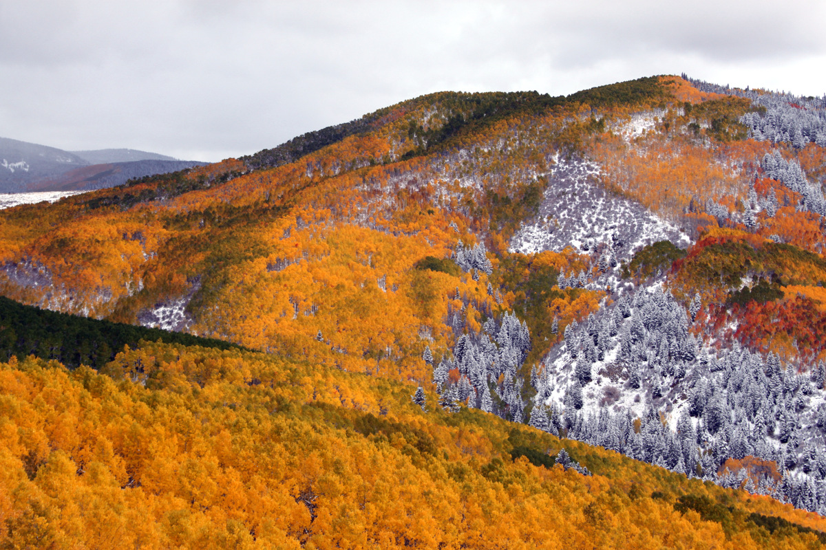
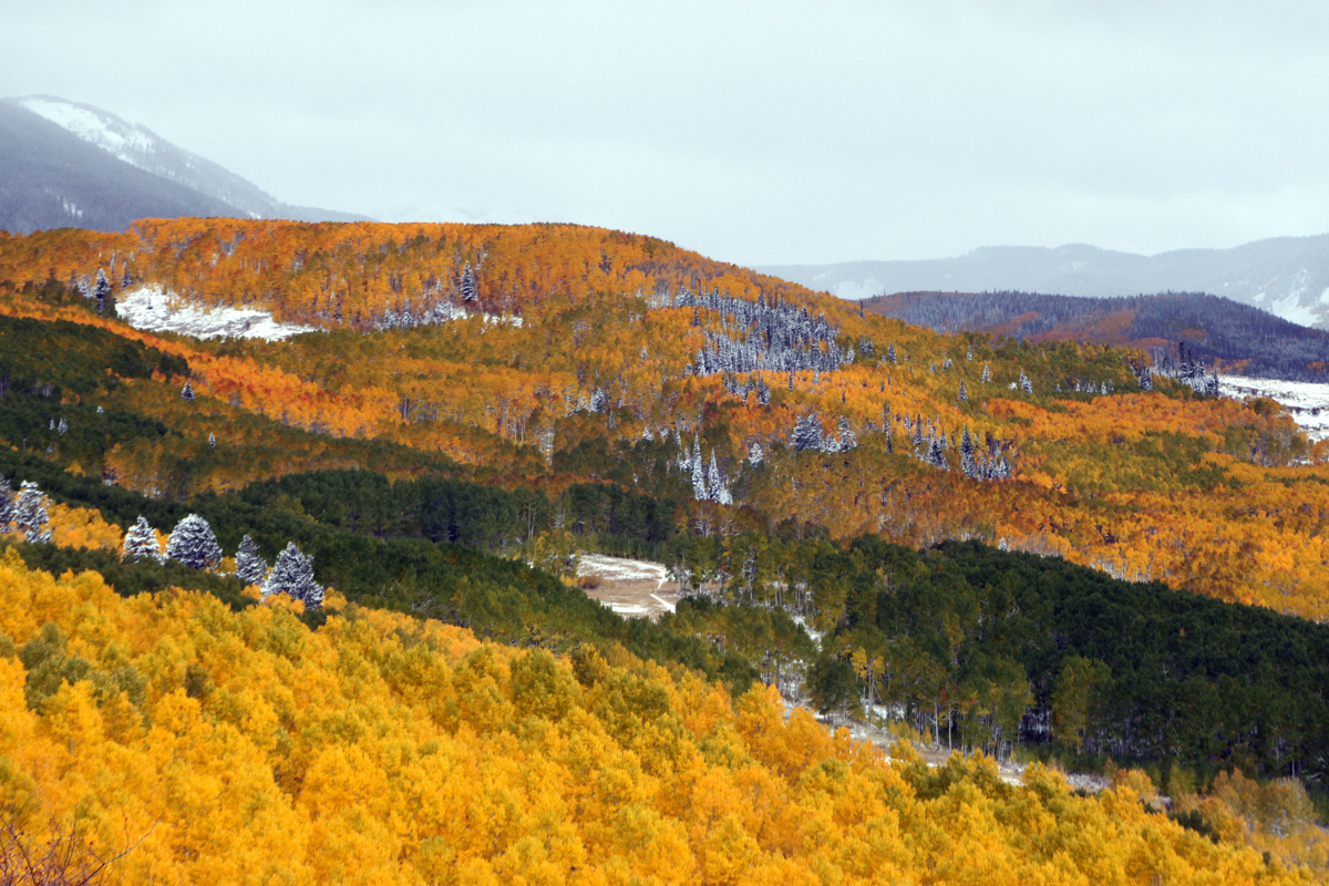
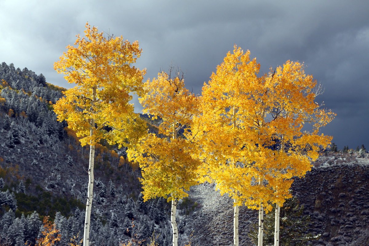
Last Thursday/Friday, Colorado received its first big snow storm of the fall. Steamboat reported 14″ at mid-mountain, but a friend of ours who lives in Steamboat hiked up and skied a good 2 feet at the top of the resort. Quite impressive especially for October 4. I don’t remember the snow falling so much so early in the 10 years I’ve been in the Vail Valley. While I absolutely love Indian summers and late fall climbing/scrambling, maybe this all points to a good winter. We shall see. With the Aspens peaking in their brilliant gold colors last week and the new snow on the ground and on the spruce trees, the combination of these colors was absolutely amazing on Friday driving to work. So, the dogs and I hiked up Arrowhead in the late afternoon and got some pictures of the Lake Creek Valley landscape and our favorite A10 trail aspen trees.
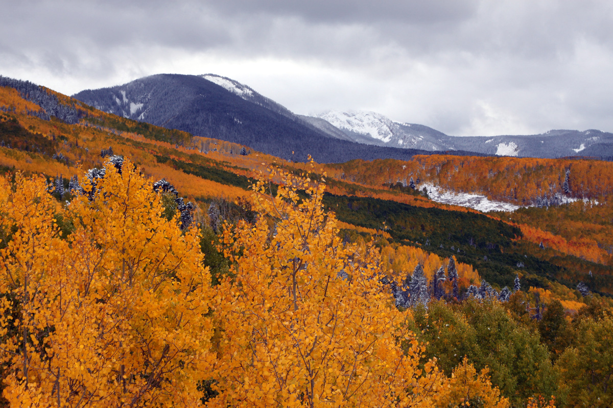
Amazing colors looking back into the Lake Creek Valley & A10 trail
 On Sunday we all decided to take advantage of the wonderful fall weather and hike up the relatively short and dog-friendly 13er Whitney Peak in the Holy Cross Wilderness very near Notch Mountain, which Kristine & I had traversed the previous Sunday. After passing the Missouri Lakes & Fancy Lake trailheads, we drove to around 10,320′ and parked at the French Creek trailhead right before the gnarly Holy Cross City Road, one of Colorado’s toughest 4WD roads. J joined Kristine, Rainier, Kona, & myself as well as Billy Larson and his dog, Buddy. We hiked up the Holy Cross City 4WD road about a mile or so and then took off east bushwhacking through the forest, across a boulder field, and up the steep grassy slopes to Whitney Peak’s mellow south ridge.
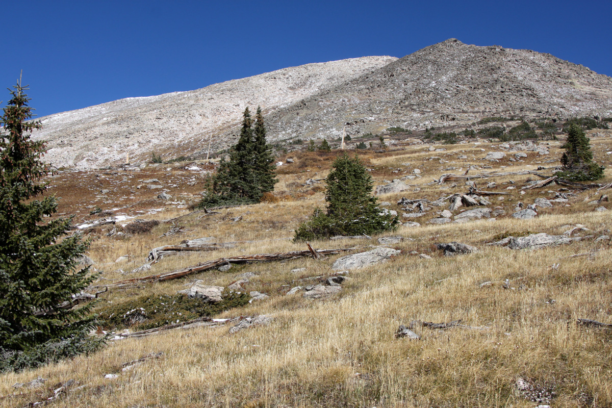
Very dry south-facing meadows on Whitney Peak’s south ridge
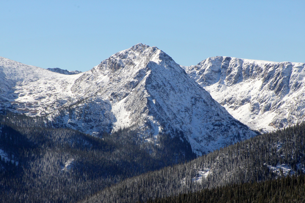
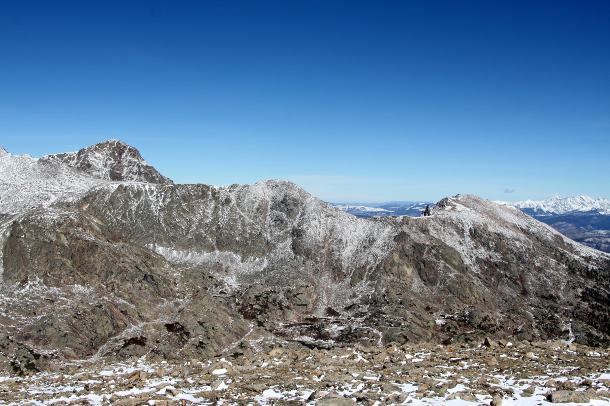
Savage Peak (13,139′)
I had noticed from pictures and the map that there seemed to be a shallow southwestern facing gully mostly filled in with grass and some rocks. I’m always looking for grassy routes for ole Rainier as the boulder hopping really give her legs a hard time these days. Turns out this gully was just what the doctor ordered and was mostly grass up until the last few hundred vertical feet before the ridge.
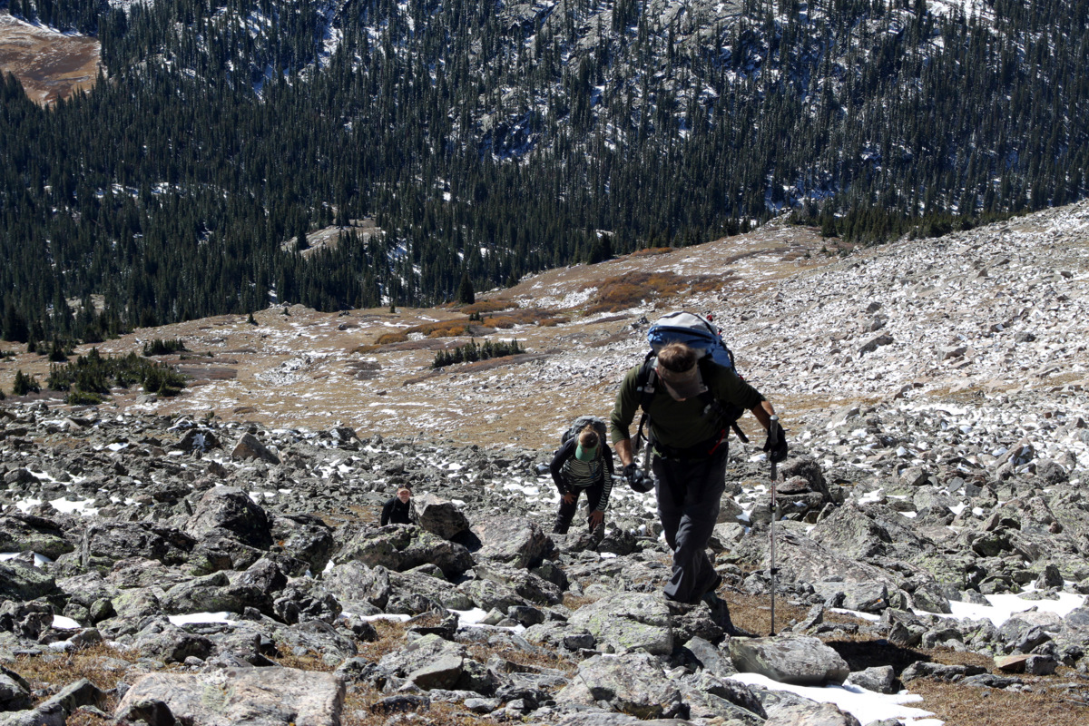
J, Kristine, & Billy on the ascent up the southwestern gully

Buddy having so much fun
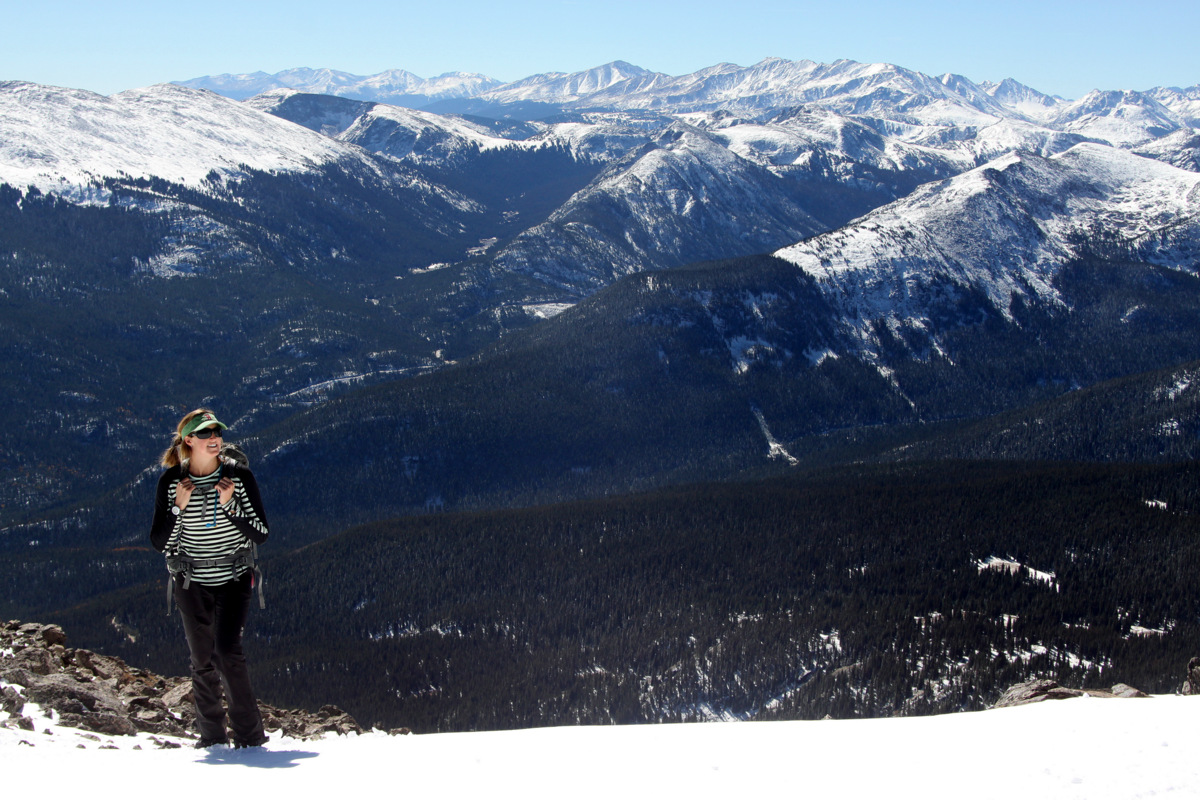
Kristine enjoying this gorgeous fall day up high
There was a bit of snow at the top of the ridge, but we all veered left and within 10 minutes we were at the summit boulder of Whitney Peak. Now, Whitney Peak’s summit plateau is very large and long. There are actually two highpoints along this plateau and we could see the other highpoint on the far western end of the plateau. The Whitney Peak USGS benchmark (13,271′) is indeed on this western highpoint, but the large 5 ft tall summit boulder on the eastern highpoint where we stood is the highest point on the mountain at 13,276′. So, we called this summit boulder our summit as it is the true summit of Whitney Peak. In fact, surmounting the summit boulder requires a 5.6 move or two which was pretty fun.
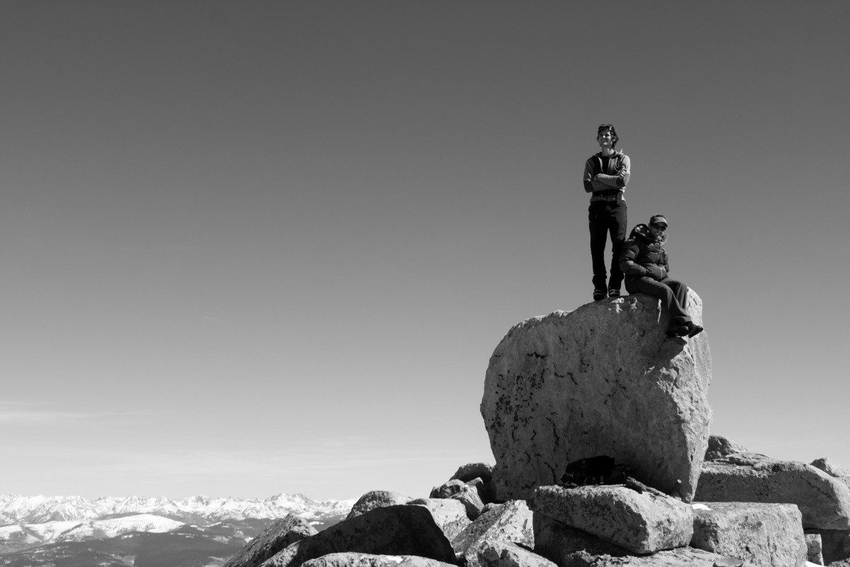
J & I on top of Whitney Peak’s summit boulder (13,276′)
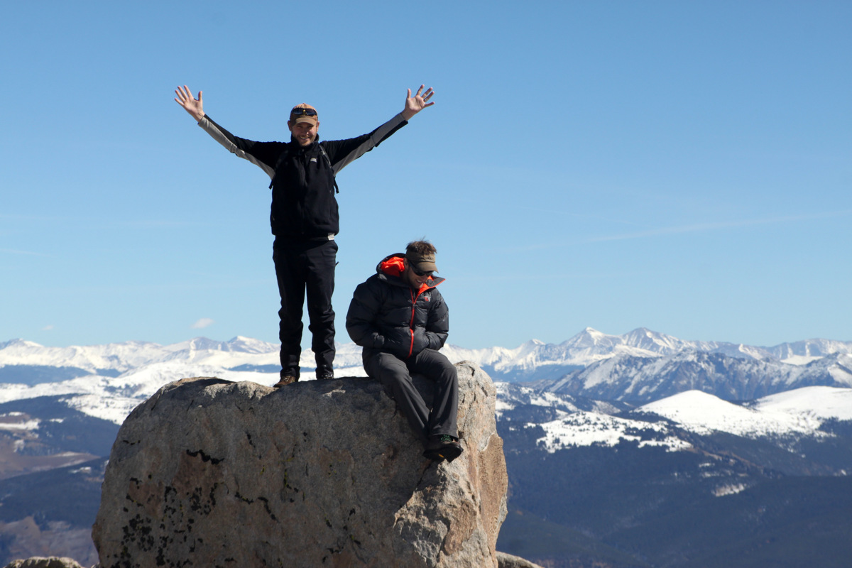
Billy & J on Whitney Peak’s summit boulder (13,276′)

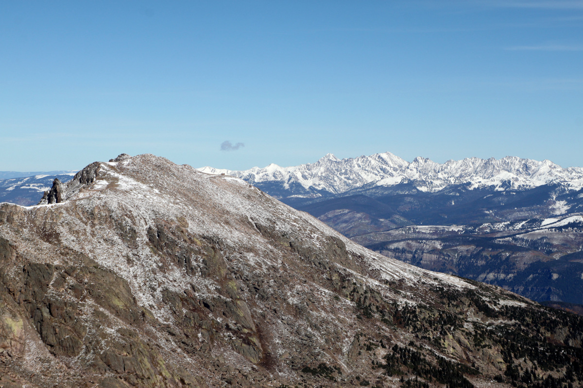
The eastern highpoint of Whitney Peak
Whitney Peak summit (13,271′)
Mt. of the Holy Cross (14,005′) at left and Notch Mountain (13,237′) at right
Notch Mountain (13,237′) at left with the Gore Range behind. Can you spot the Notch Mountain Shelter on Notch Mountain’s right shoulder?
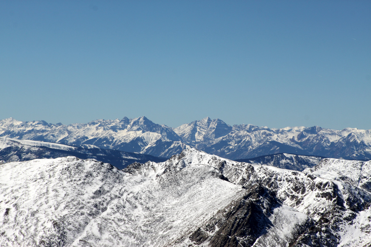
Pyramid Peak and the Maroon Bells to the southwest
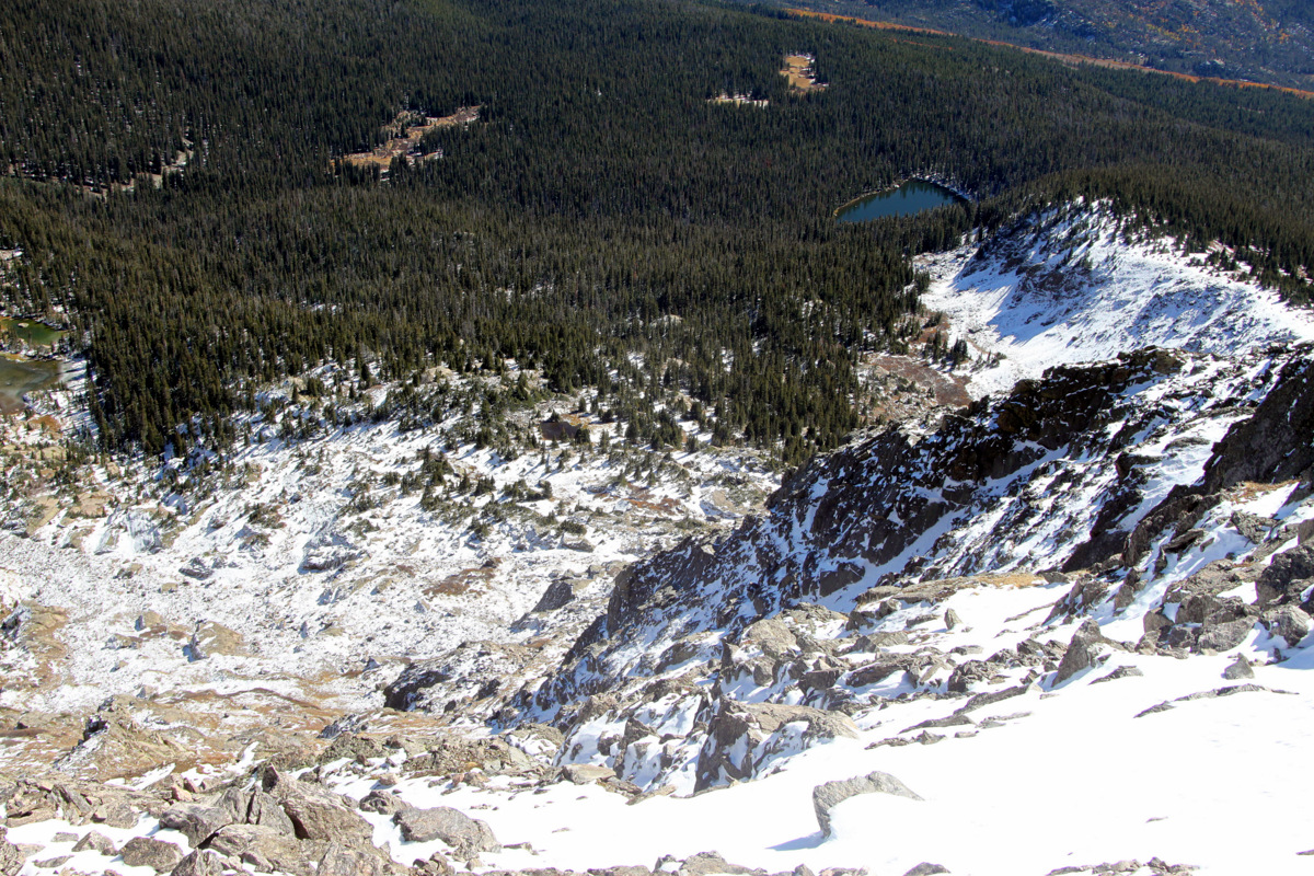
Looking down Whitney Peak’s steep east face to Whitney Lake below
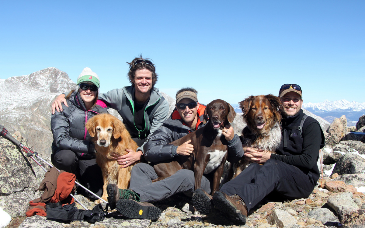
We then took a group photo just below the summit boulder, took in the views of the Northern Sawatch Range and local 14er Mt. of the Holy Cross, and then headed down arriving back at the cars around 2pm for a roundtrip time of about 4 1/2 hours. We sped back to Sarah & Keith’s house in Edwards to try and make the beginning of the Denver Broncos game. It was a fun-filled afternoon of friends, burgers, beer, and the Broncos squeaking out a victory against the Dallas Cowboys to go to 5-0. You just can’t beat the Broncos nor can you beat bluebird fall days in the Colorado highcountry.
 Follow


