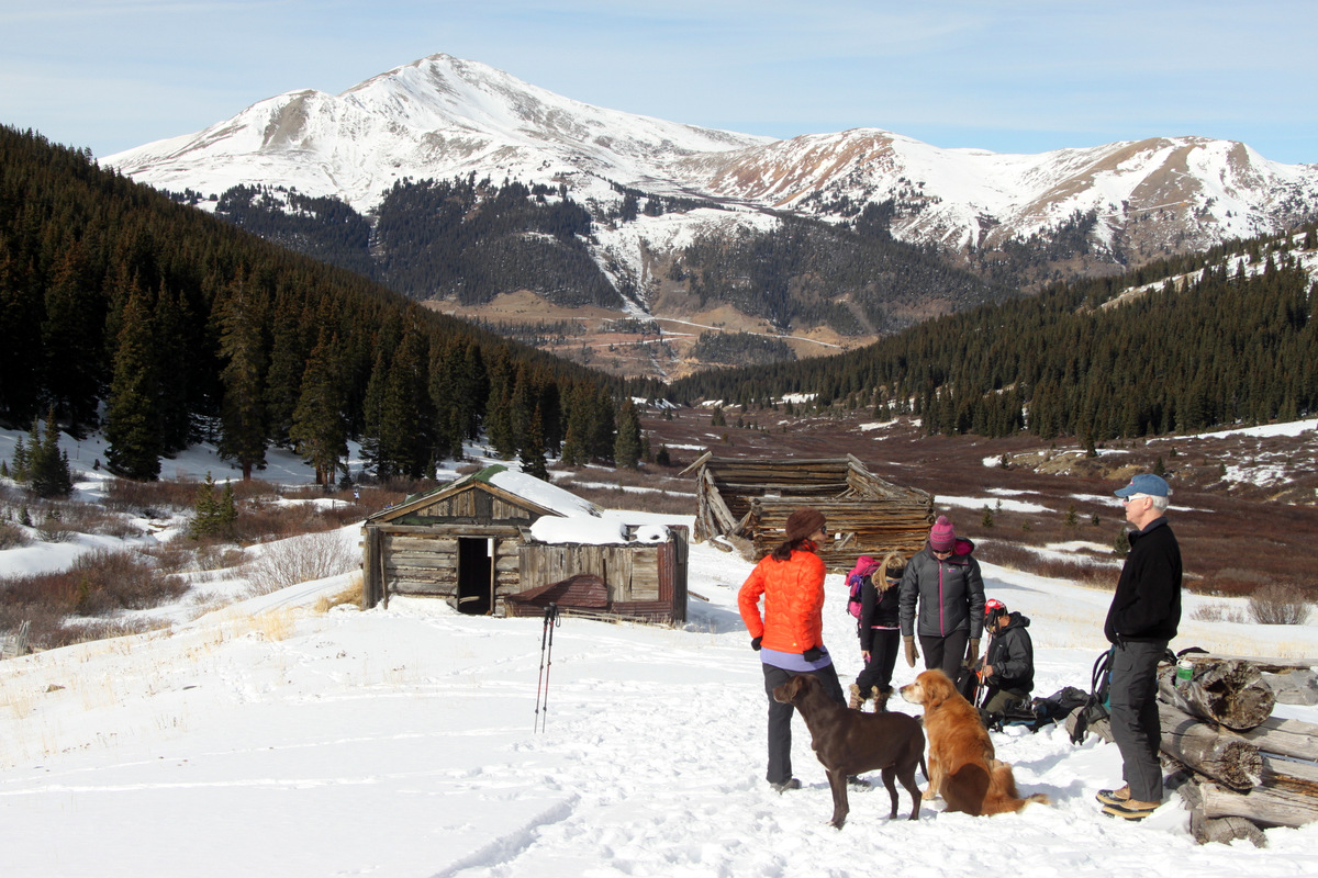
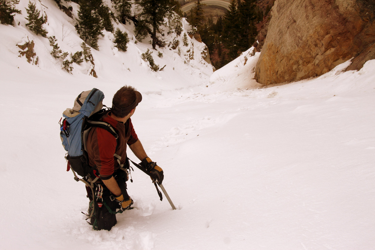
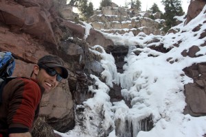
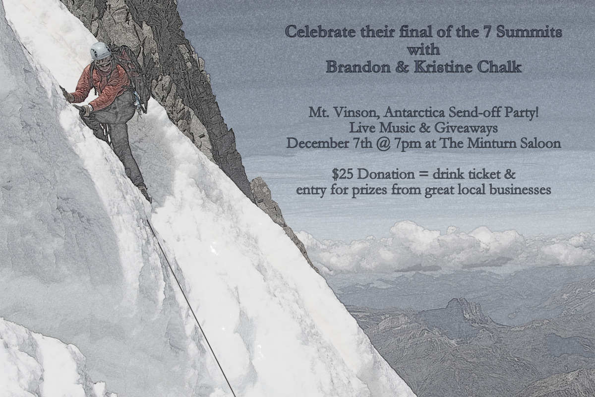
This past Saturday, J & I did a little fun adventuring up a couloir near Minturn that we had been wanting to get on for some time now. It’s the prominent “S” shaped couloir up the center of a fairly steep face at the “S” bend in Highway 24 just south of Minturn.
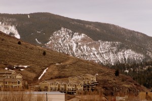
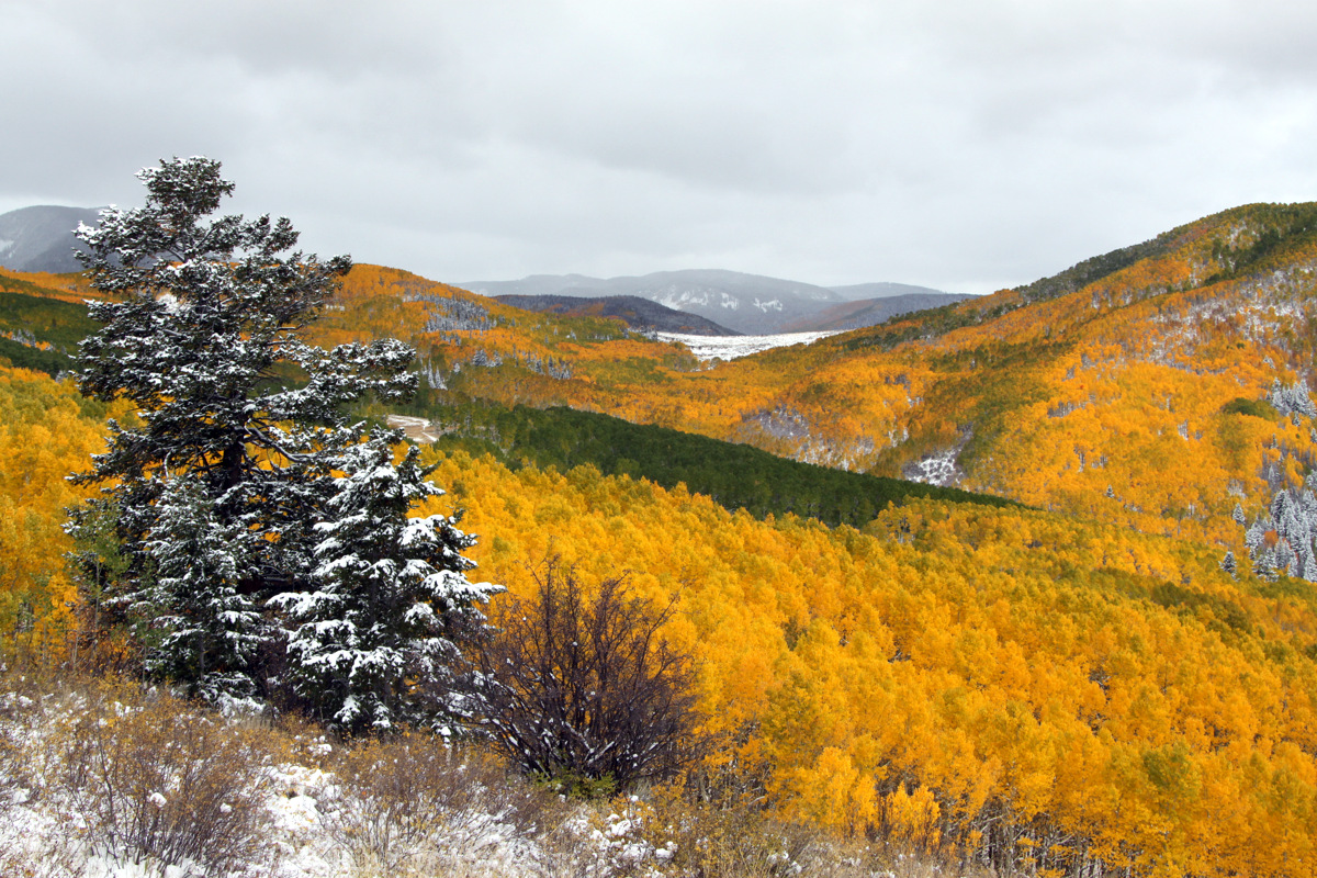
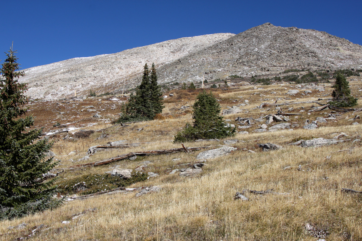
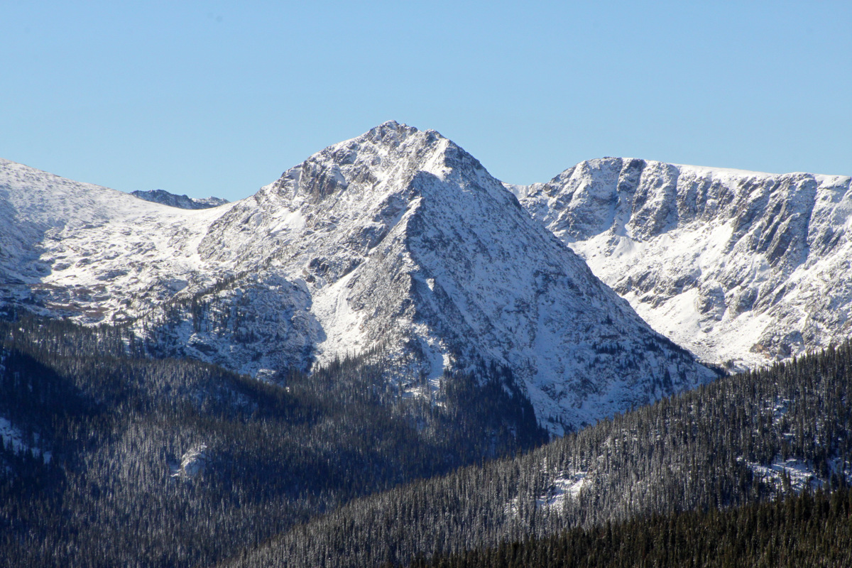
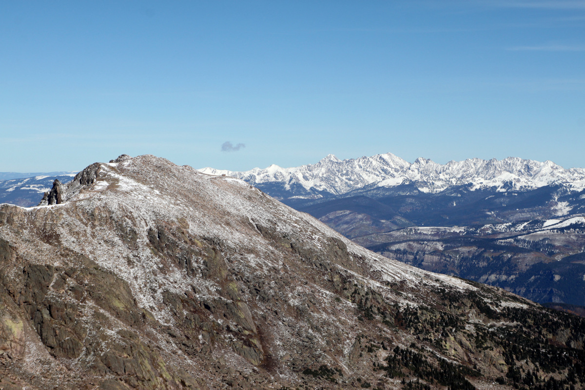
The widest part of the couloir can be seen here from Minturn

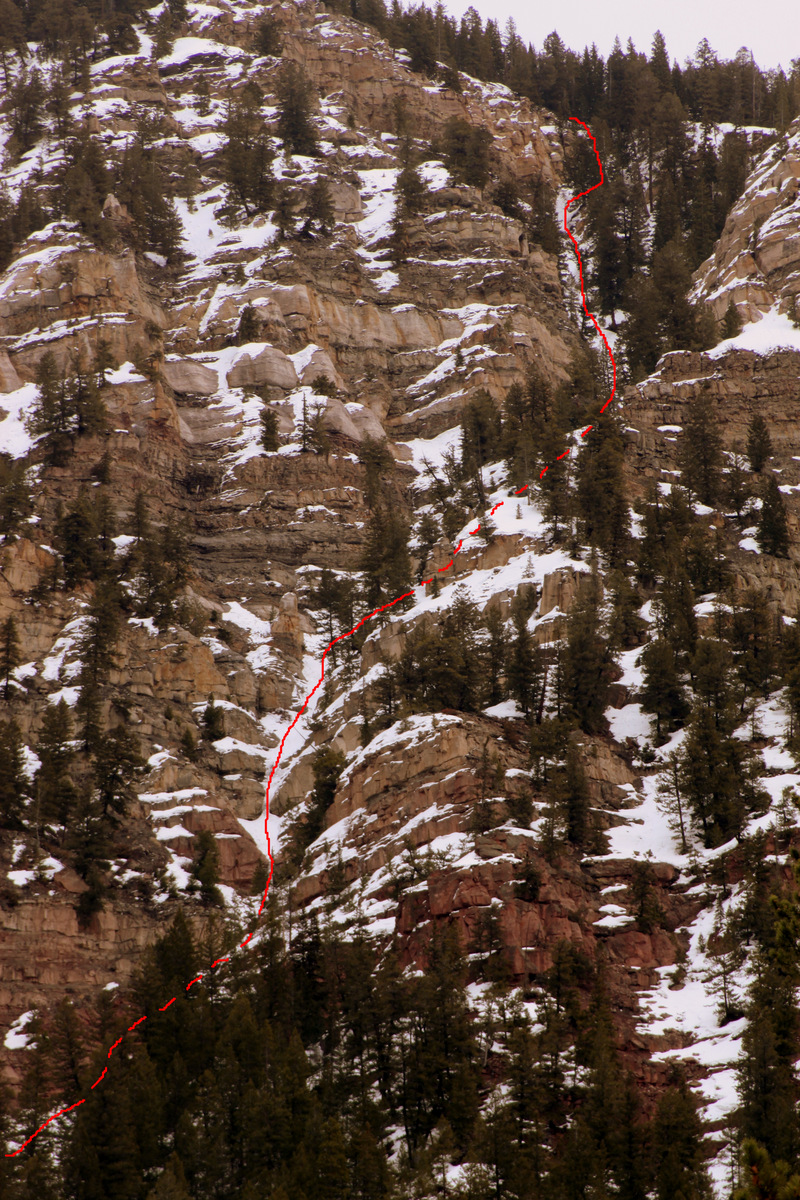
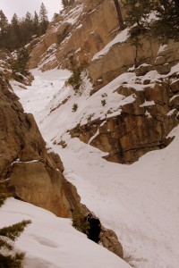
The Minturn Couloir
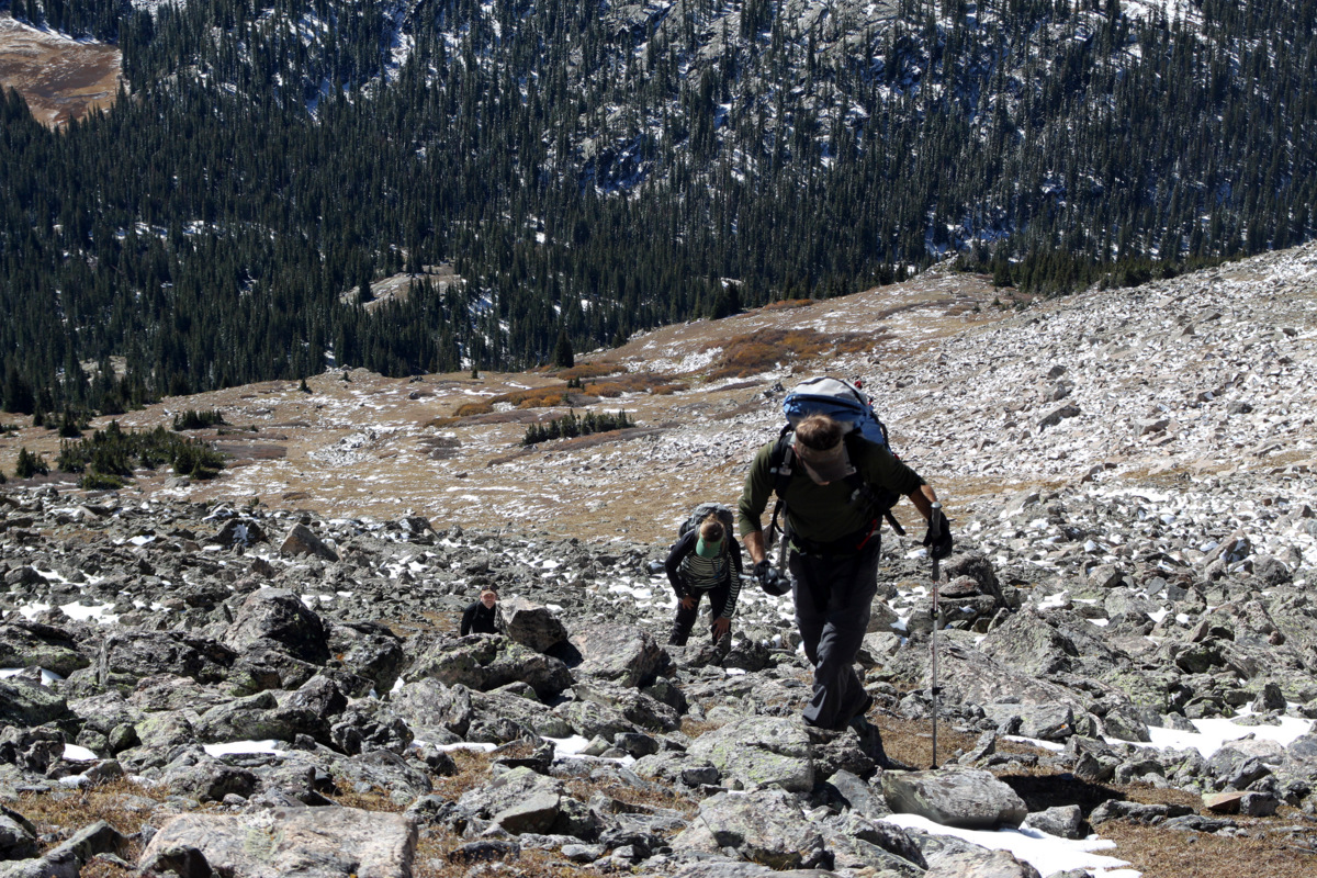
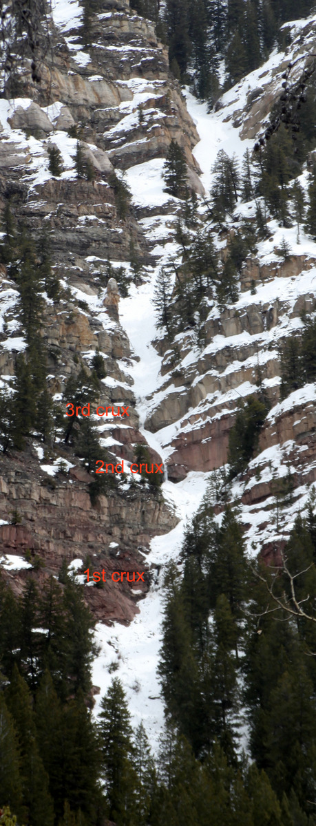
Its always fun for us to head out into something we really don’t know much about (or anything at all) and hope for the best in that we get to the top or find a way through. Ice axes & crampons were definitely a necessity as was my 30m rope, harnesses, and a few cams, but in hindsight we should have brought the ice tools and a few ice screws. There are three near vertical pitches or cruxes in the lower half of the couloir that really justify roped technical climbing.

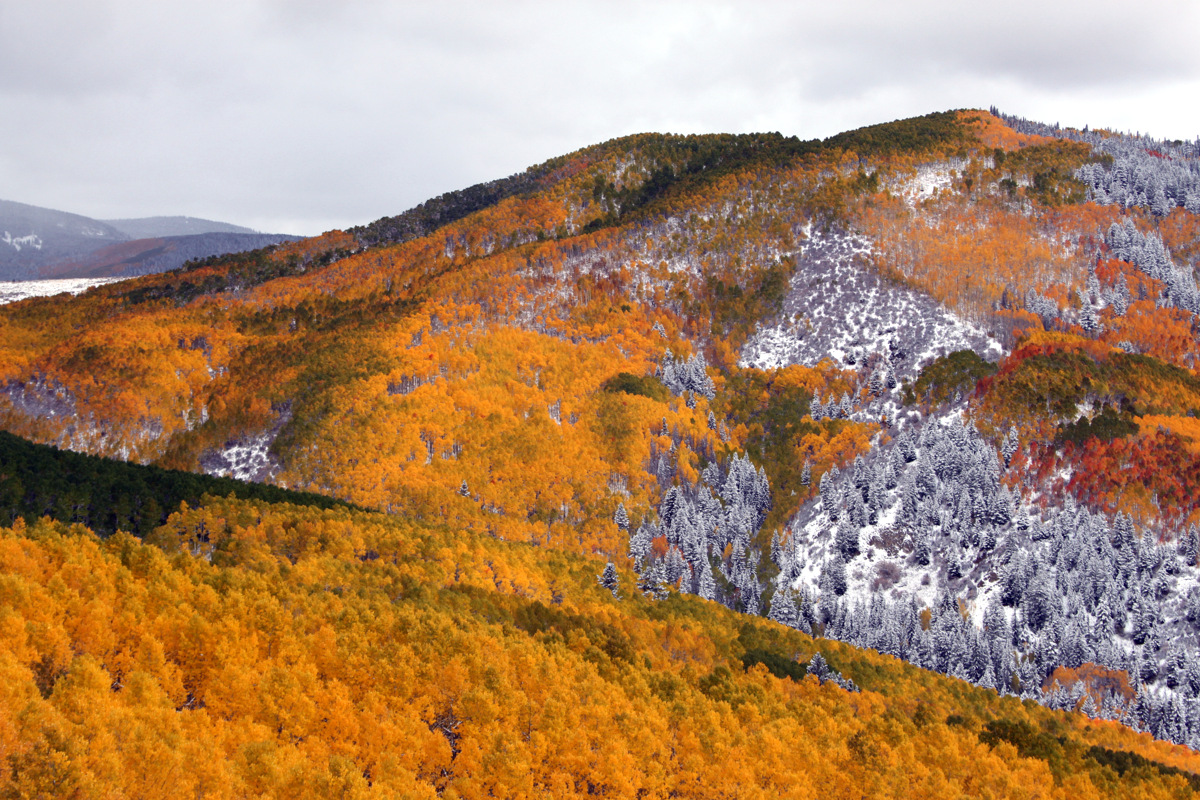
The Minturn Couloir with the three cruxes identified
The 1st crux is probably 20 vertical feet tall and consists of some near vertical ice and snow-covered rock on both sides. The ice would have been fun to climb if we had our ice tools and a screw or two. C’est la vie. We found a rock/dirt scrambling alternative to looker’s left around this crux and entered the snow-filled couloir again above it.

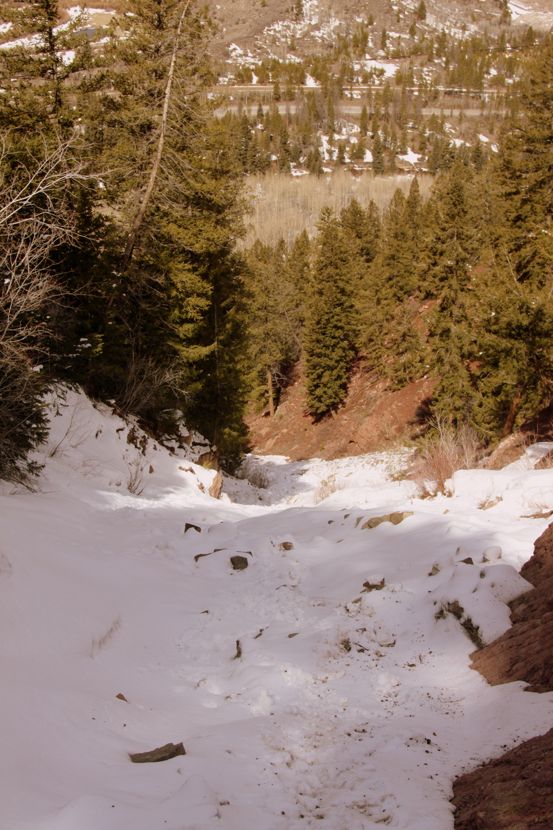
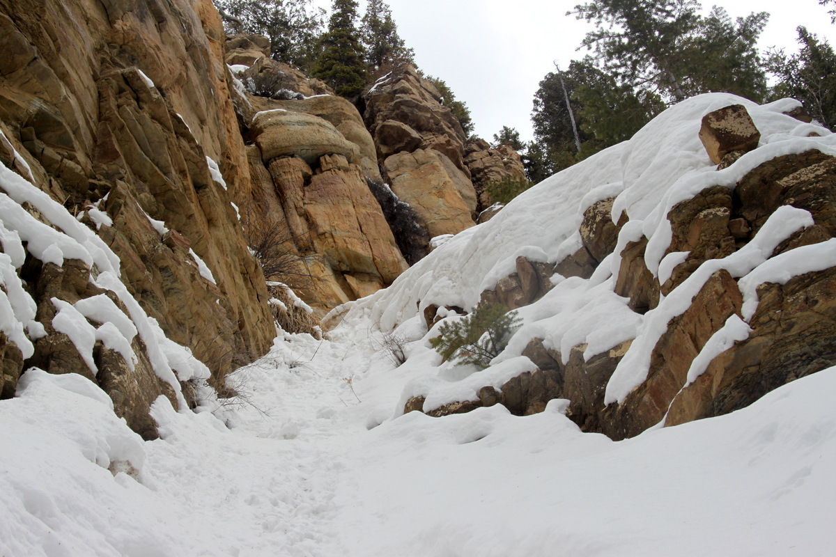
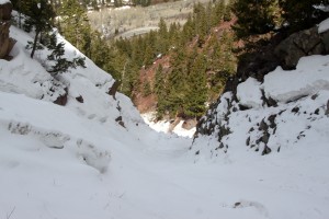
The lower section of the couloir – avalanche debris everywhere
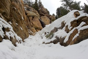
The 1st crux – we bypassed this section to the left via rock ledges
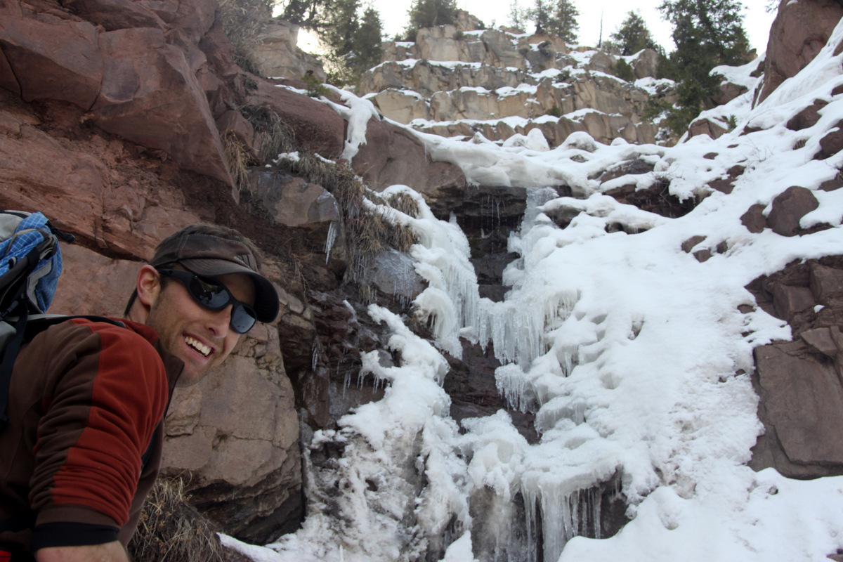
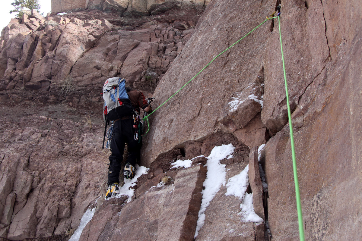
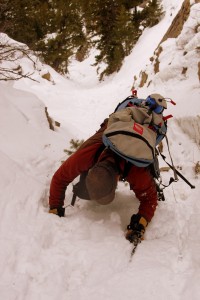
The 2nd crux is a vertical icefall with a rock climbing alternative to looker’s right of the icefall. Its probably only about 15 vertical feet and we chose the rock climbing option because again we did not bring our ice gear. J got up on a small ledge and we both then realized we should rope up for the 5.4 or so traverse across the small ledge and back into the couloir above the icefall. I handed J my rack and we both harnessed up. J placed a few cams, made the traverse moves in his crampons, and set up an anchor once back in the couloir and brought me up. It was a fun little pitch of technical climbing.

J with the 2nd & 3rd cruxes visible ahead
Looking down the couloir to the 1st crux below
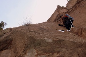
J on the 5th class rock to the right of the icefall at the 2nd crux
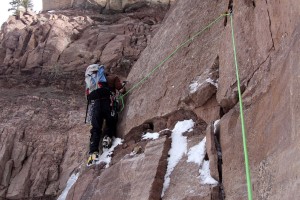
J leading the 2nd crux rock band
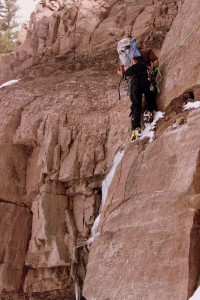
J rounding the corner back into the couloir at the 2nd crux
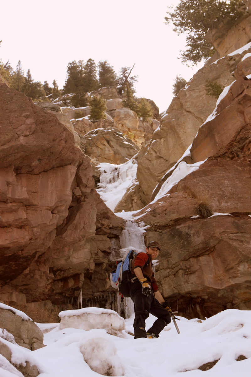
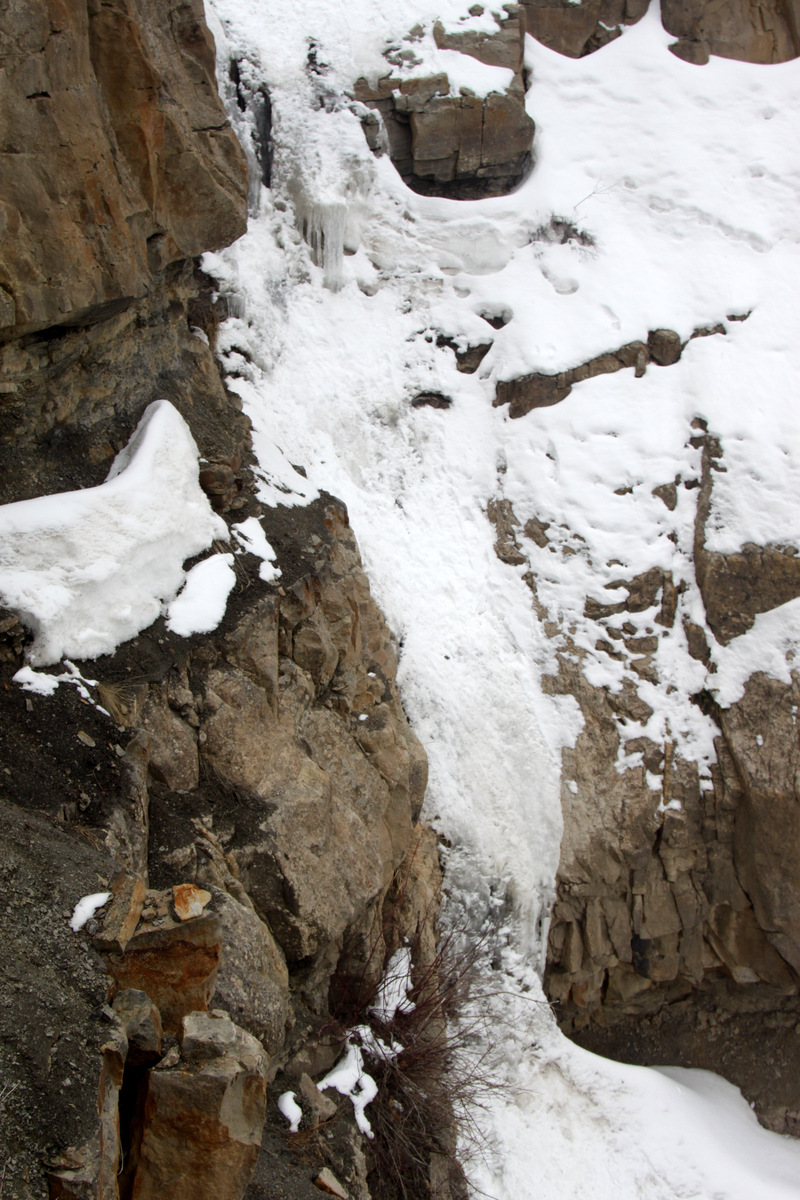
The 3rd crux is just above the 2nd crux and involves about 35’ of technical ice, though not completely vertical. It would have been a fun lead for sure on good waterfall ice with 2-3 ice screws. However, we ventured on steep ground to our left around on a steep ledge and did some exposed 4th class rock scrambling up and around the icefall. We re-entered the couloir above the 3rd crux after some fairly exposed moves on a snow-covered ledge system with decent hand holds on rock.

The icefall of the 3rd crux was the largest – maybe 35′ in height.
Looking down at the 2nd crux from exposed ledges
J working his way back into the couloir proper above the 3rd crux
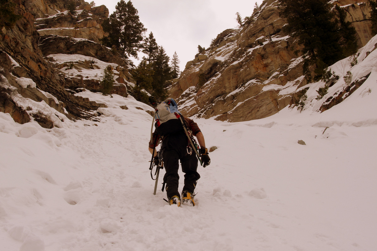
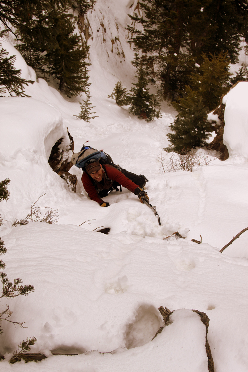
The next 800’ or so was great snow-filled couloir climbing. The angle probably never exceeded 40 degrees until we got to the top 200’ or so where the couloir choked and got steeper, likely 45-50 degrees or so. A second axe could have been useful in a few really steep spots but the snow was soft enough where J & I could just put a fist in the snow for support and stability. When the very narrow couloir seemed to peter out, we traversed to the right around a cliff wall and then climbed steep snow straight up for about 50 vertical feet to level ground and the top of the couloir.
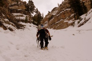
J doing some fine couloir climbing above the 3rd crux
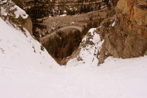
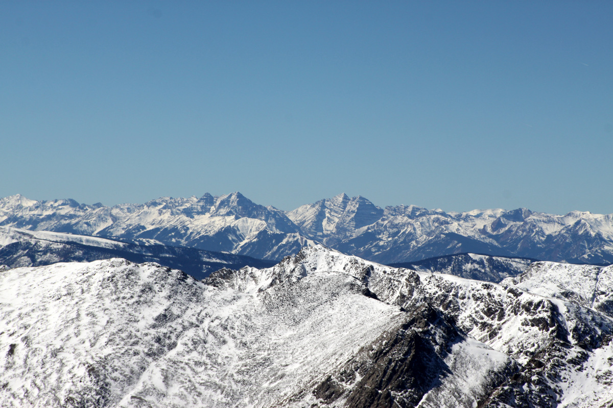
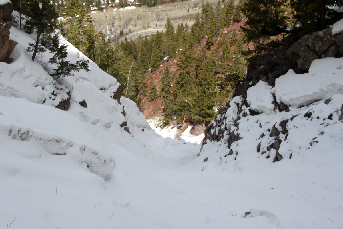
Looking down the couloir and Highway 24

J in the Minturn Couloir
Steep snow climbing ensued as the couloir constricted towards the top
The couloir petering out towards the top at which point we traversed to the right

J finishing off the Minturn Couloir with more steep snow climbing

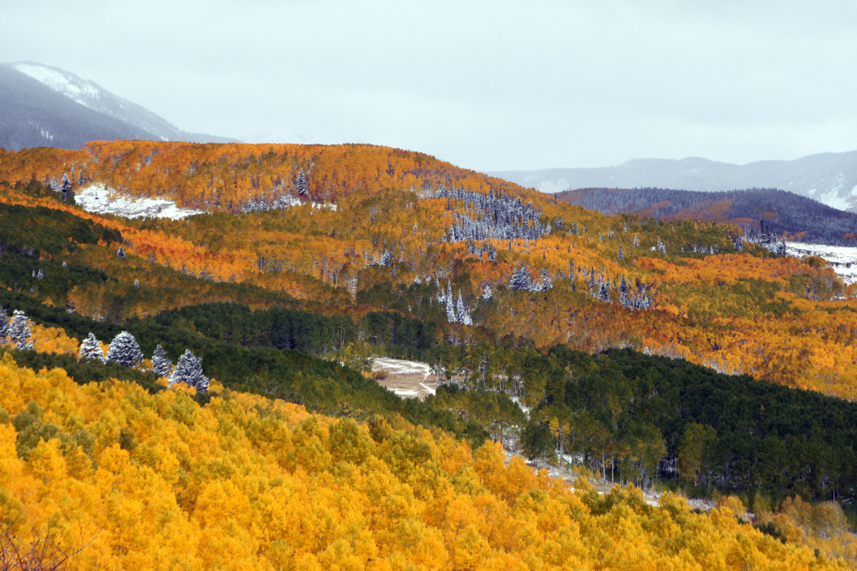
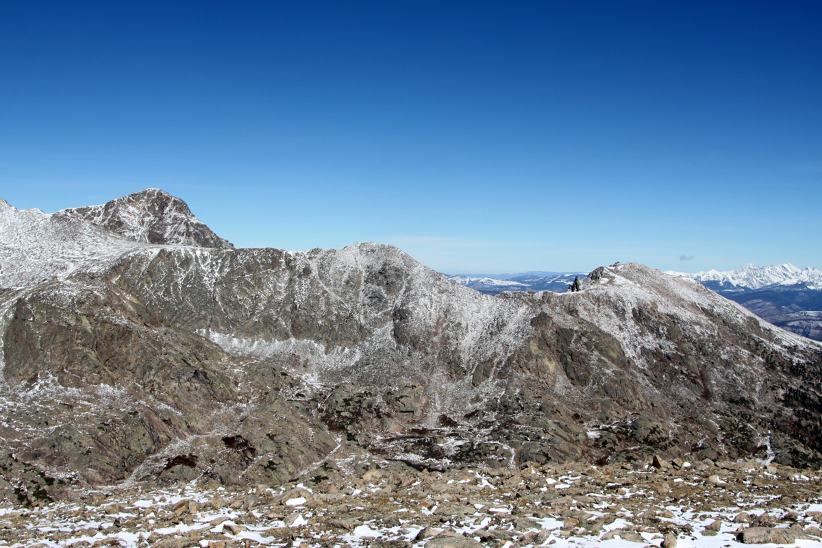
The 2nd & 3rd cruxes as well as the upper narrow portion of the couloir can be seen here
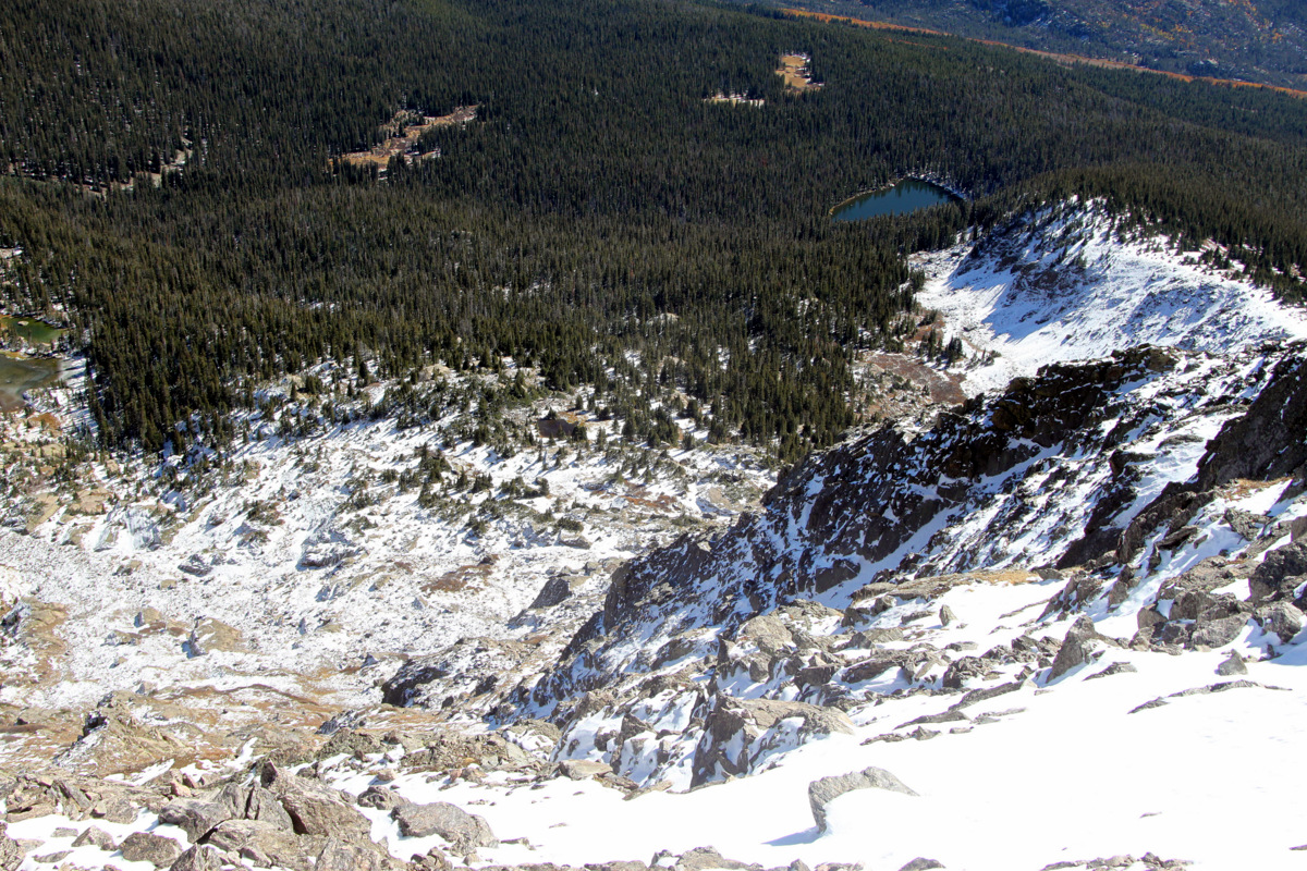
We eventually topped out, drank a bit of water, and ventured through the trees for a hundred yards or so to pick up an old snow-covered road bed originally constructed for the natural gas pipeline serving the town of Red Cliff from Minturn. After 30 minutes of walking down the road sans snowshoes and a bit of post-holing, we came to an alcove where the road hugged the edge of the steeper northwest facing wall in which the couloir was inset. This point was where we thought we could climb down dirt and rock ledges back to the car for about 1,000’. We could have taken the road all the way to the Two Elk trailhead and Minturn rifle range but that would have put us a ways from my truck at the “S” turn on Highway 24. The descent worked out well and we were back at my car about 3 hours after leaving it.
All in all, a really fun few hours with J in a neat little couloir that involves some pretty cool climbing. It would be fun to go back and climb the two ice pitches we bypassed to the left. I’m happy we finally got in this couloir, which we have dubbed the Minturn Couloir, since J’s Active Energies office is in Minturn and he looks up at it about every day. We got this climb in just in the nick of time before the Vail Valley received 13” of new snow that evening for Sunday’s closing day at Vail & Beaver Creek plus an additional 24” on Monday! J’s wife, Megan, the dogs, & I skinned up Arrowhead Monday evening for the deepest run down Arrowhead I’ve ever had in the heaviest of snow conditions I’ve ever experienced. I have never straight-lined that ski run before, but did so Monday night. It took all my effort to lean back as far as possible in order to keep my ski tips up on the surface. Thankfully, this huge storm will help with Colorado’s water supply and decrease the potential for forest fire outbreaks this summer.
 Follow