Crystal Peak
Despite having played around extensively in the Tenmile Range from summits to traverses, we had never ventured up the centennial (one of Colorado’s highest 100 peaks), Crystal Peak. Actually, Rainier & Kona had been up Crystal before back in May 2010 while we were on Everest with friends J Weingast, Andy Dionne, and Derek Drechsel when they all skied the steeper north face.
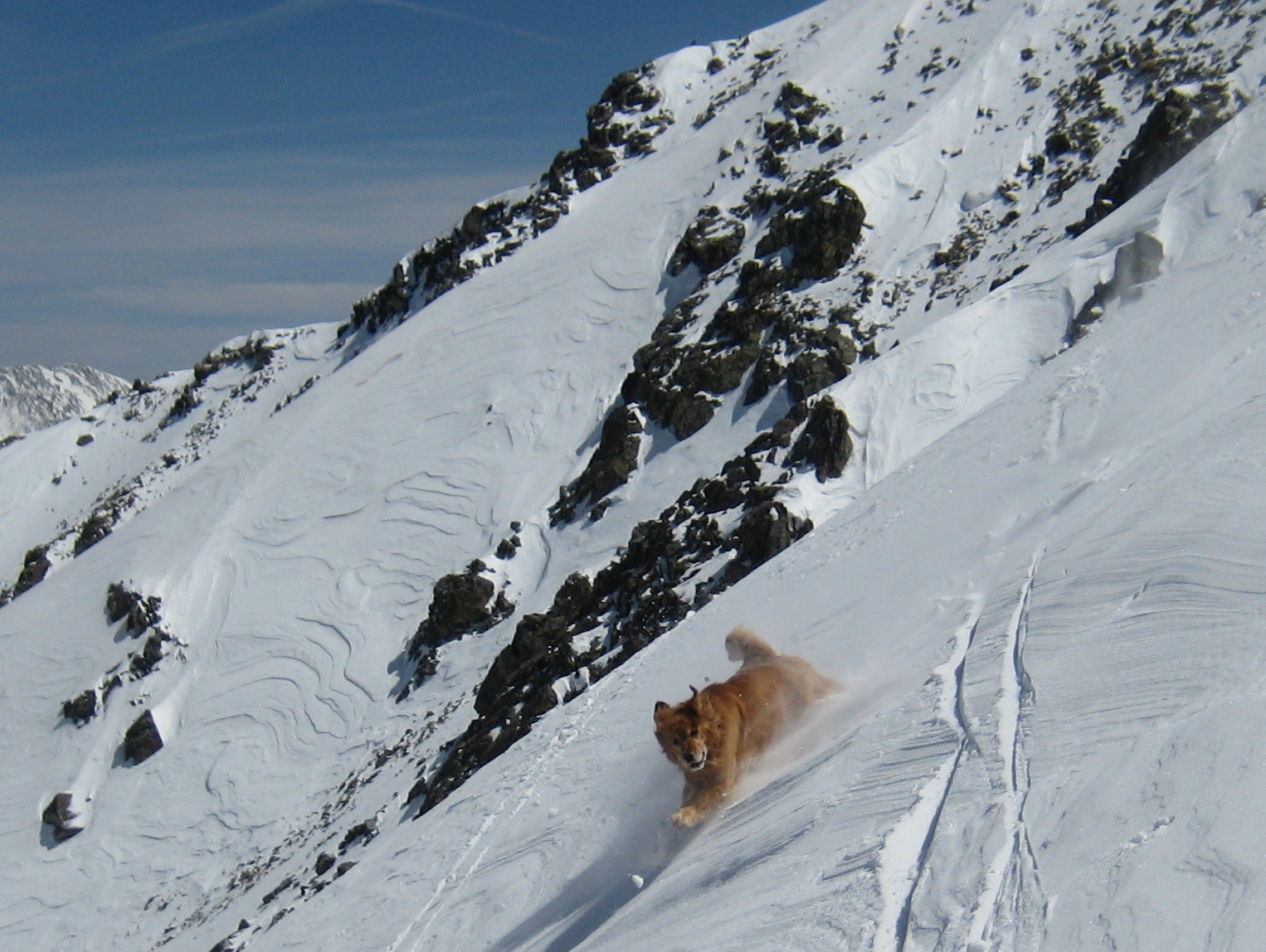
Rainier making a high-speed descent of Crystal’s steep north face in May 2010. Photo by Derek Drechsel
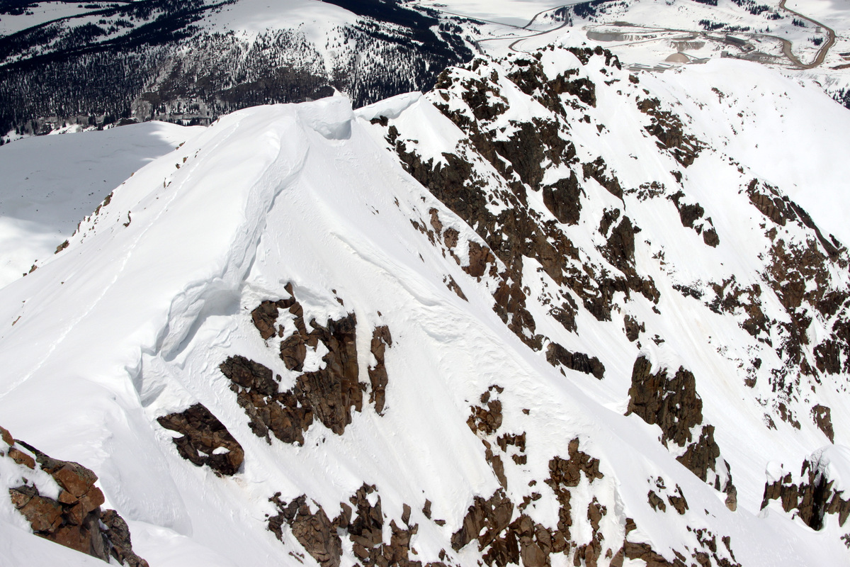
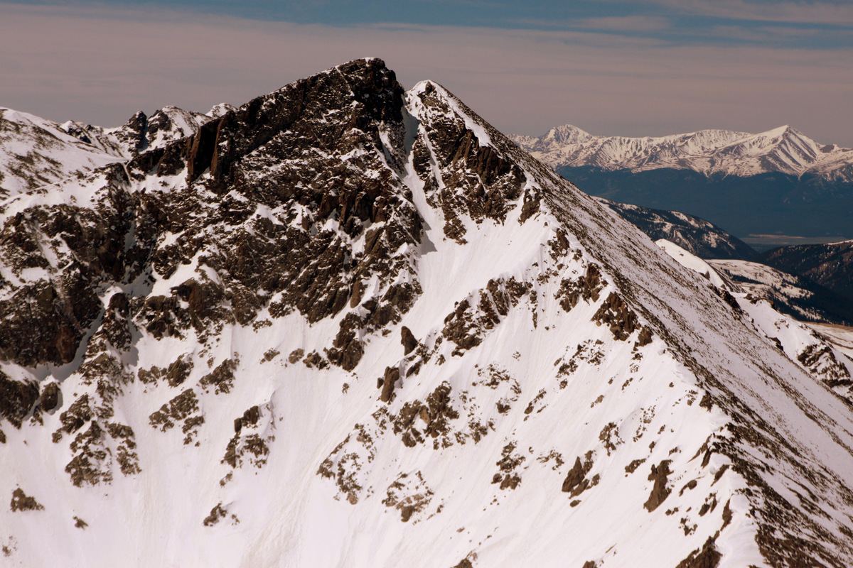
I had always thought the east face would make a really fun ski and so with the plentiful amount of late spring snow and one of the very few weekends we had available for a ski-mountaineering adventure, we headed over to Breckenridge early Sunday morning and started hiking from the Spruce Creek trailhead at 10,400′ around 6:45am with the skis on our backs for about a mile until we could start skinning on continuous snow. We soon broke through tree line and entered the lower Crystal Creek basin and the upper east face of Crystal Peak came into view.

Me & Crystal Peak in the distance
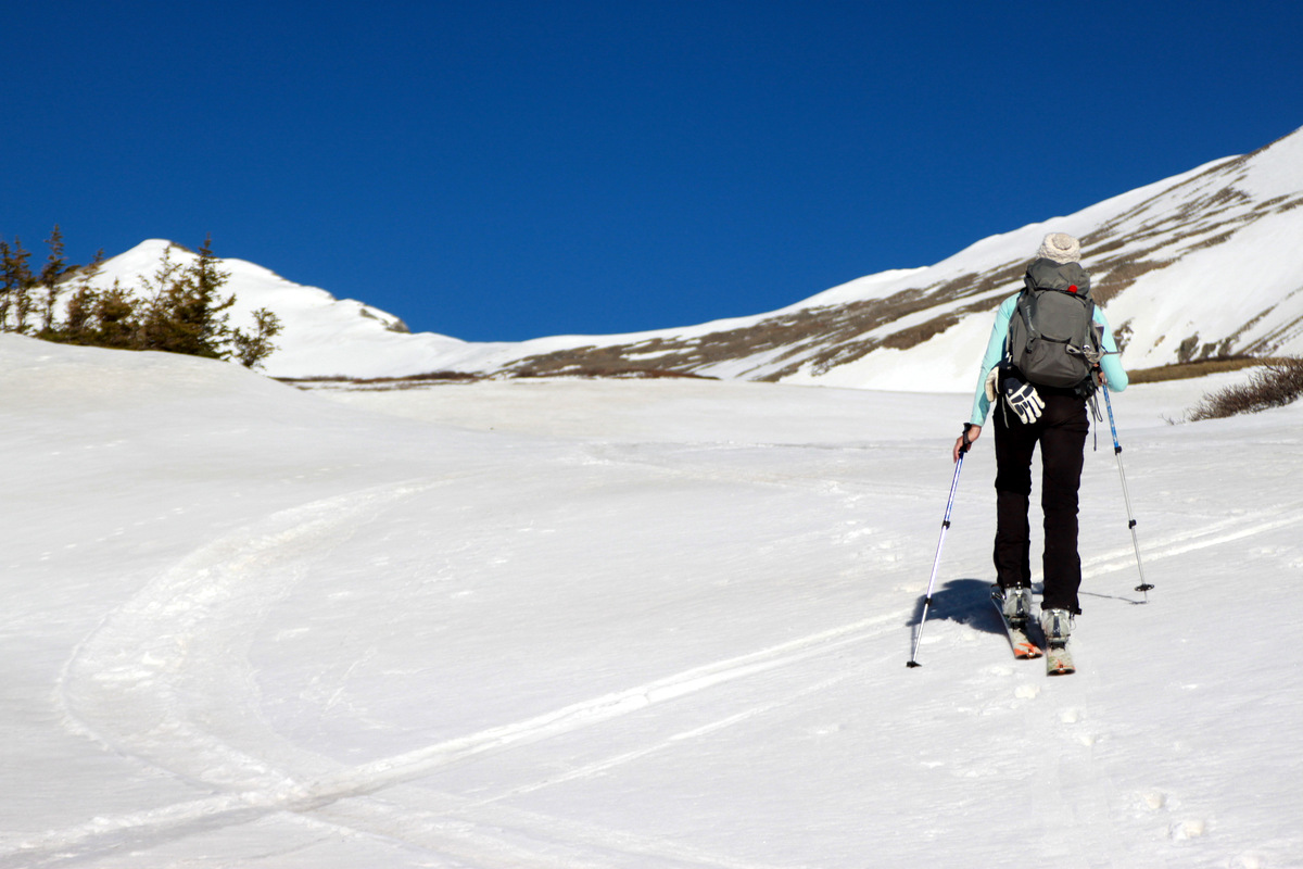
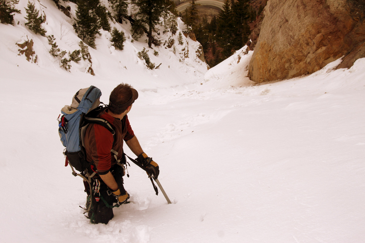
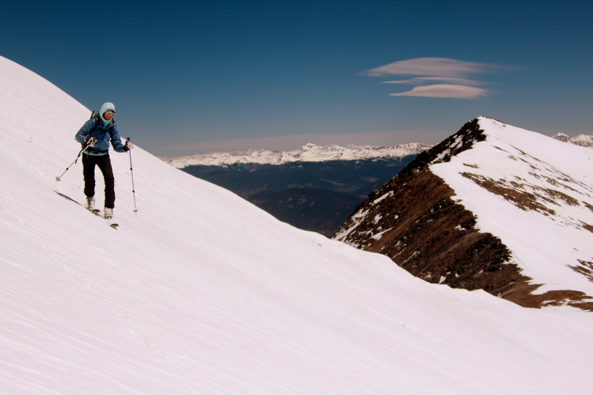
Kristine skinning up the lower portion of the Crystal Creek drainage
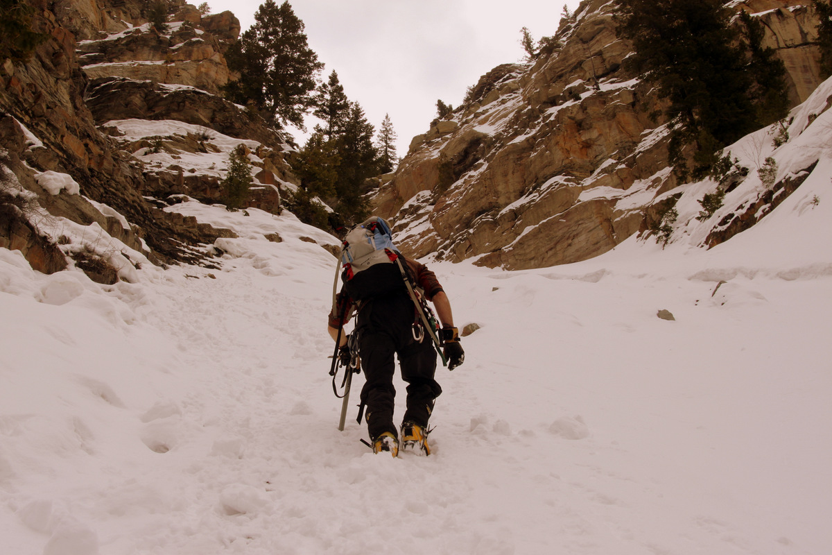
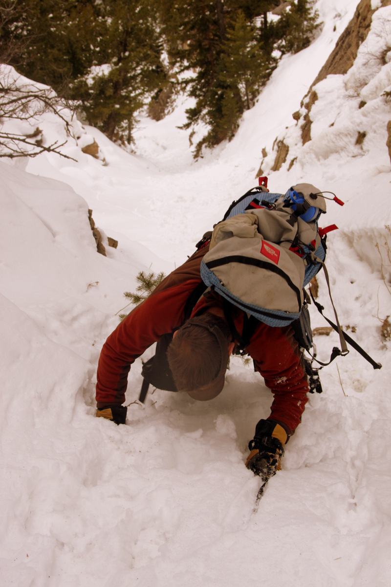
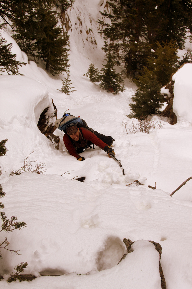
After some mellow skinning across the basin to the frozen lower Crystal Lake, we climbed the steep chute into the upper Crystal Creek basin. Kristine & I were able to skin this though Mikey packed his skis on his pack and booted up. Mike had only skinned a few times and skinning on really steep terrain takes alot of practice no doubt.
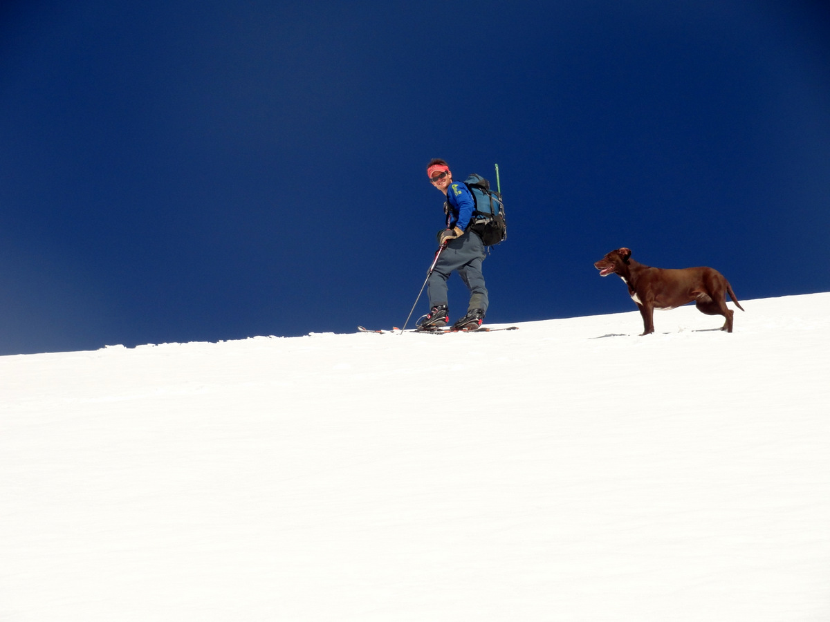
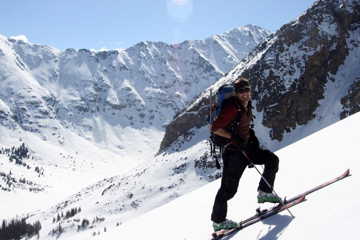
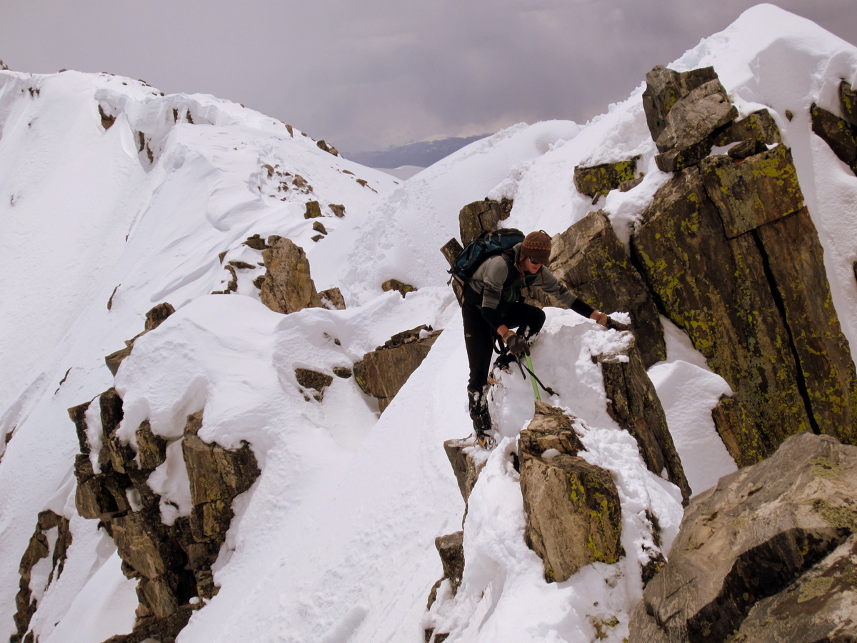
Me & Kona skinning up the steep chute to the upper basin

Mike skinning into the upper portion of Crystal Basin
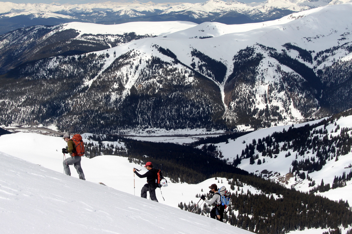
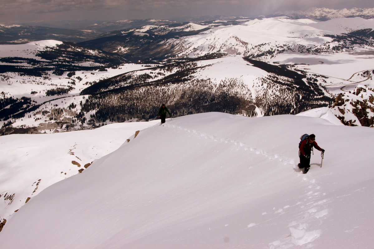
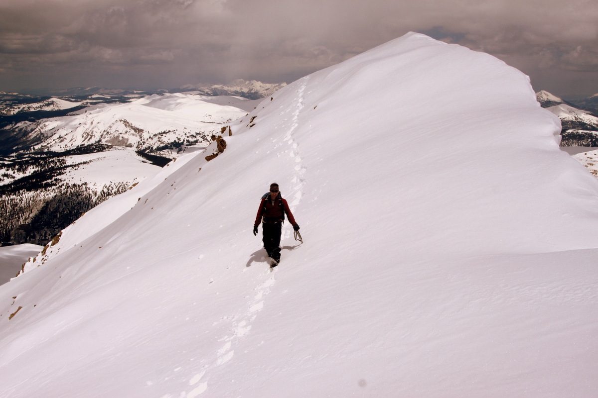
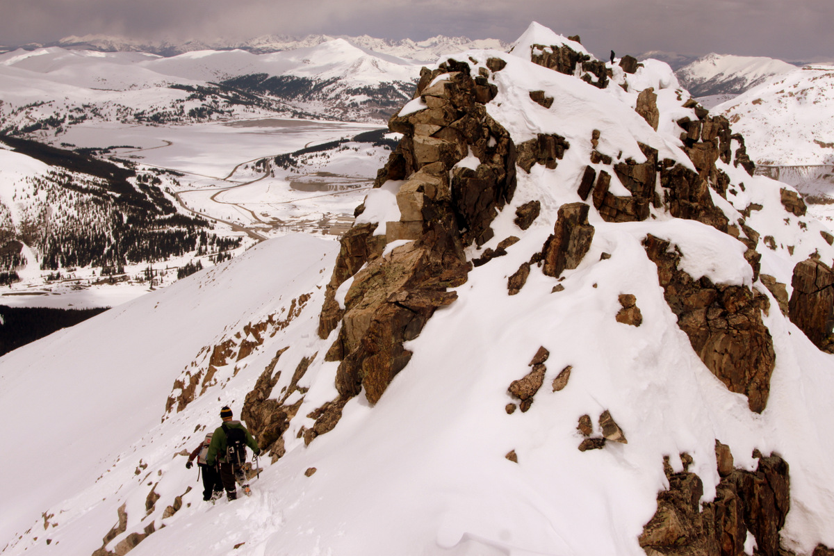
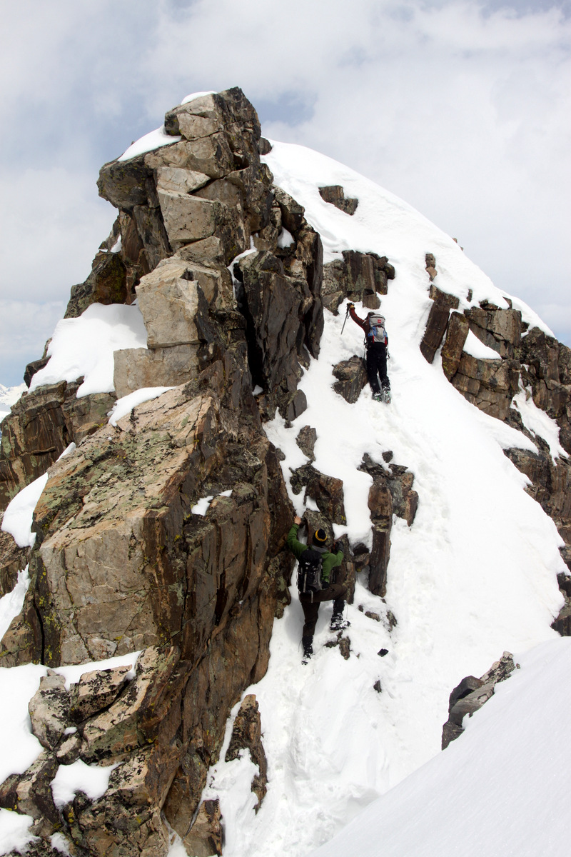
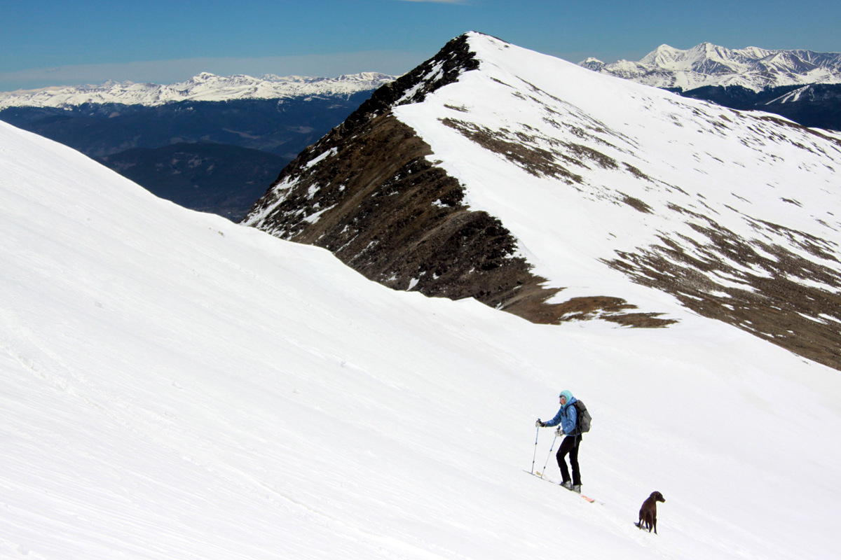
Once we reached the frozen upper Crystal Lake, we took a right and skinned to the saddle between Crystal Peak and Peak 10. From that point, it was a simple bootpack up the east ridge to the summit. It was great to be up high again, especially on such a beautiful Colorado day.
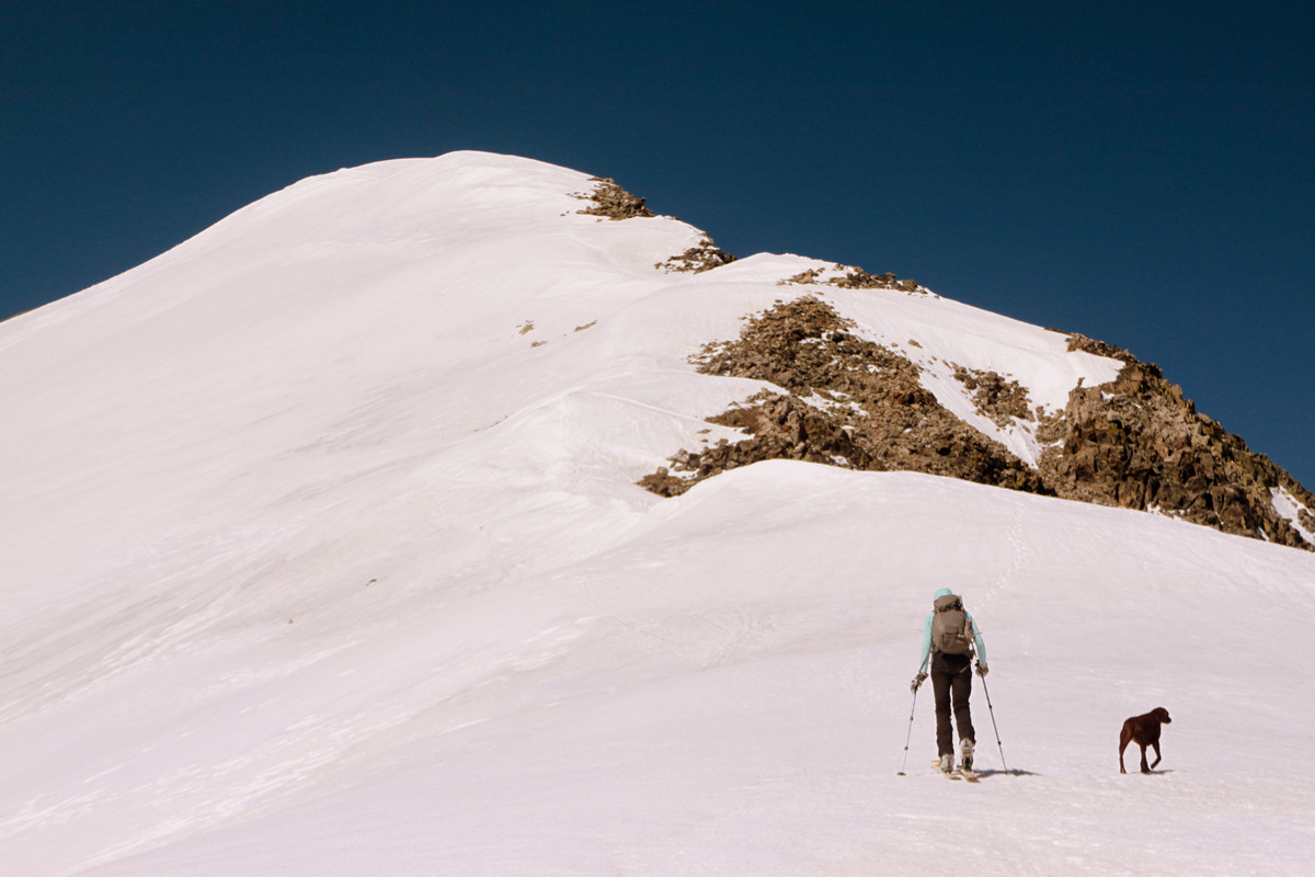
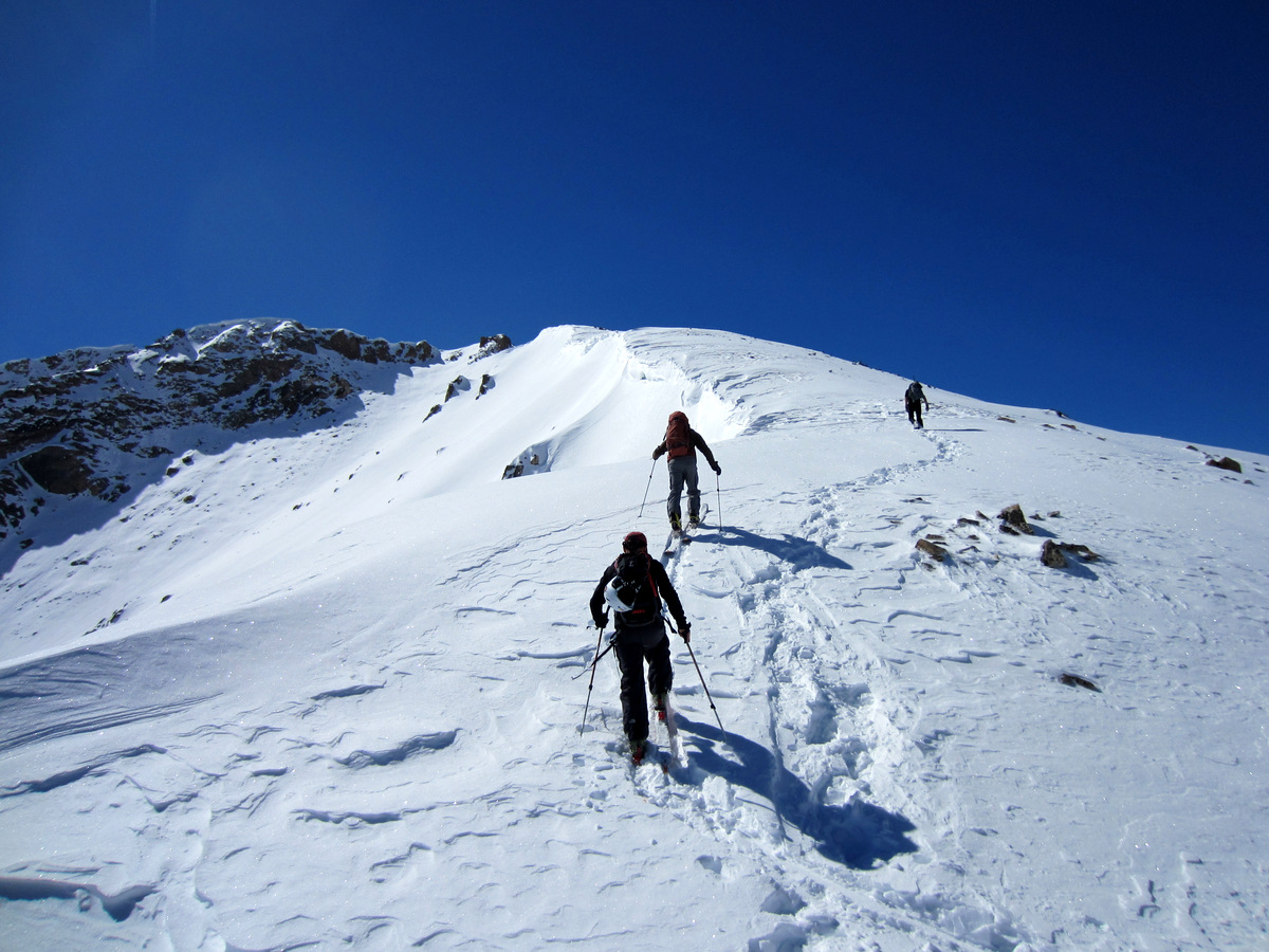
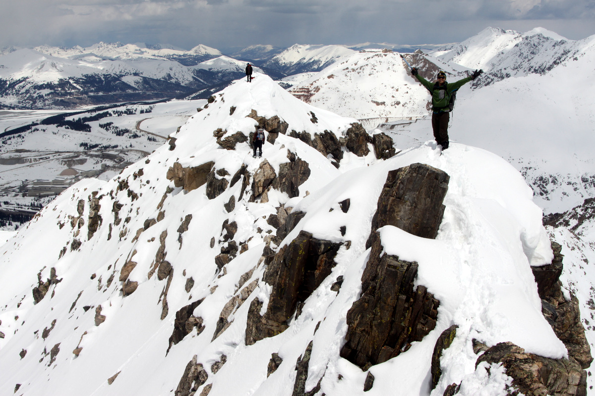
Kristine & Kona skinning up Crystal’s east ridge to the summit
Kristine making her way to Crystal’s summit with Peak 10 behind
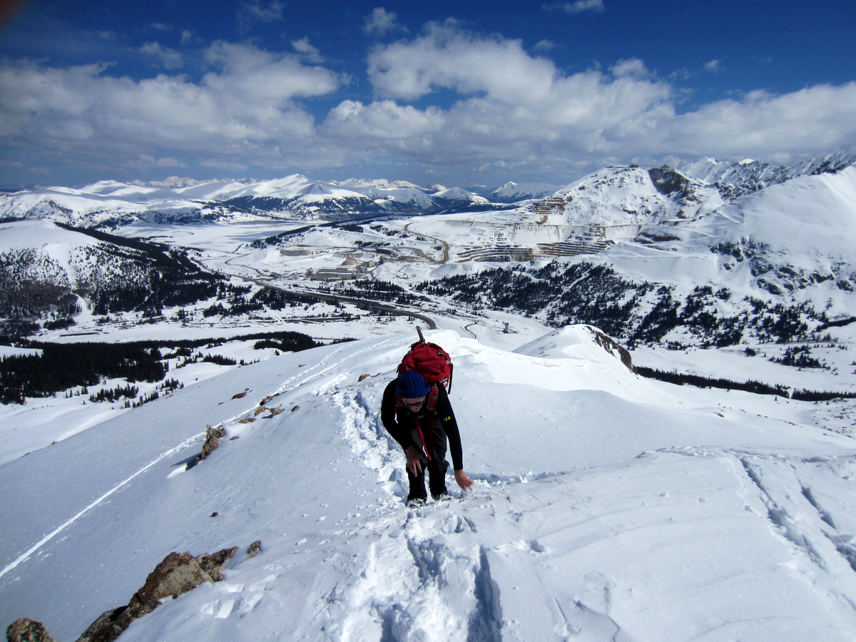
Mikey topping out on his 1st ski-mountaineering adventure
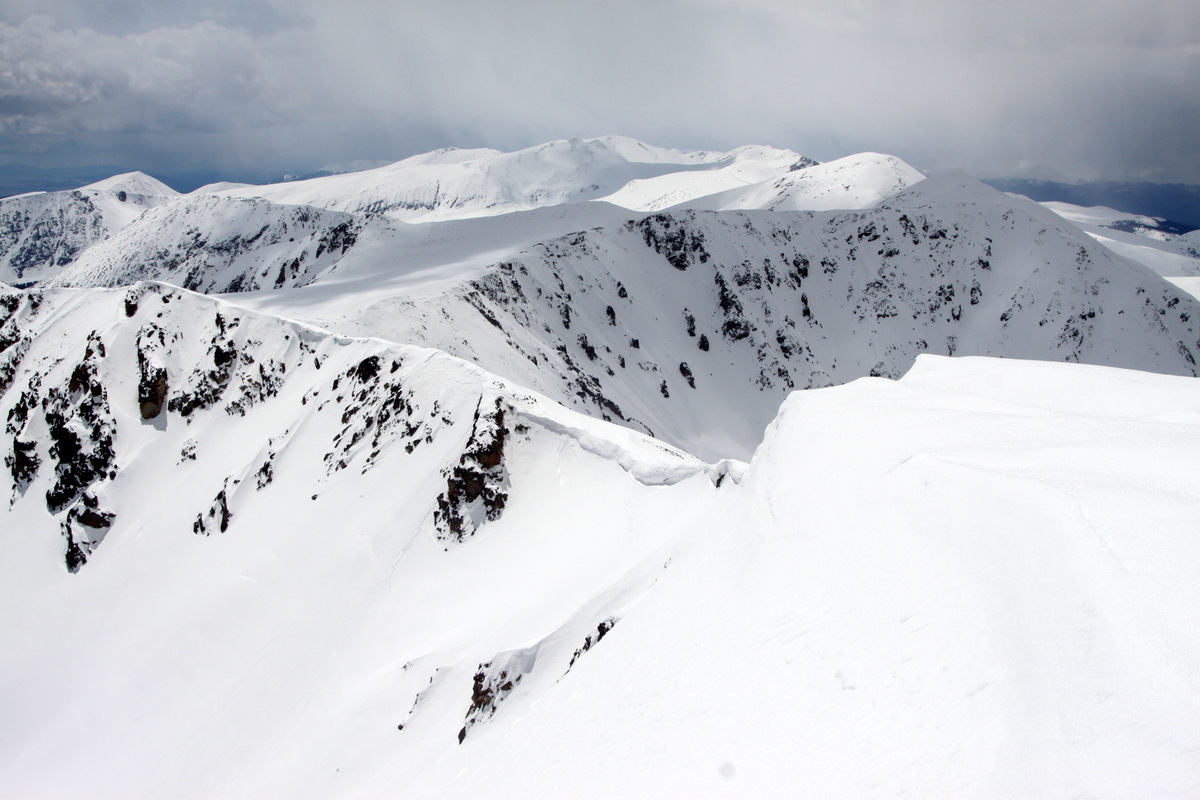
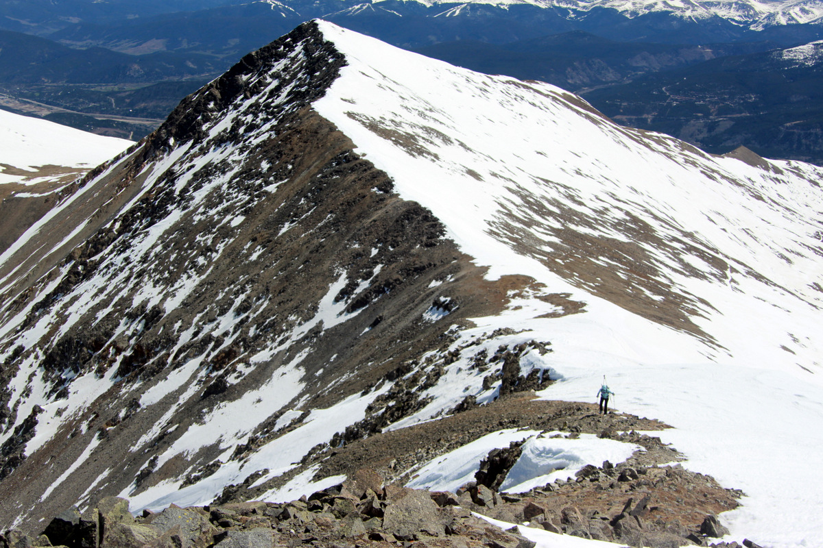
Pacific Peak (13,950′) and its awesome north couloir from Crystal’s summit. 14ers La Plata Peak & further to the right, Mt. Elbert, can both be seen on the right side of the picture

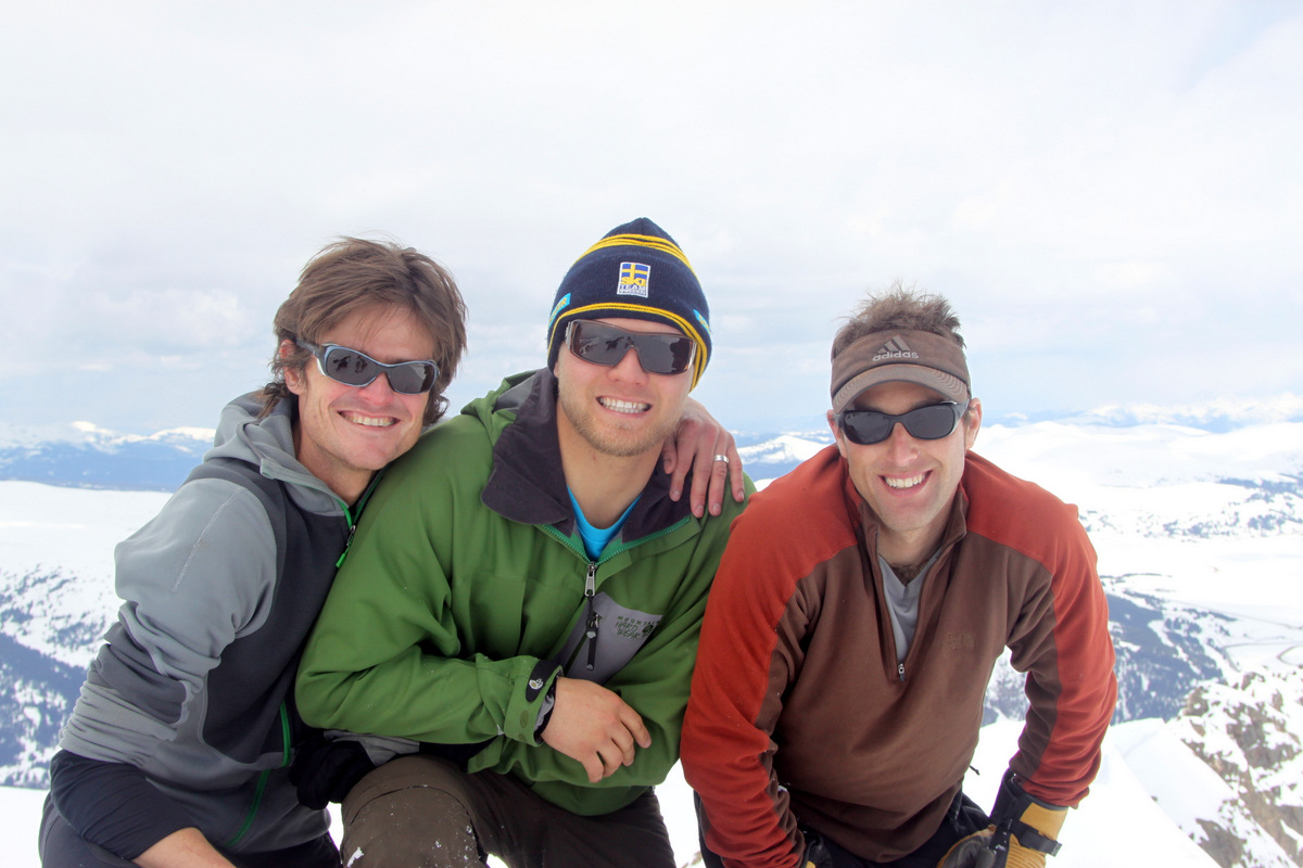
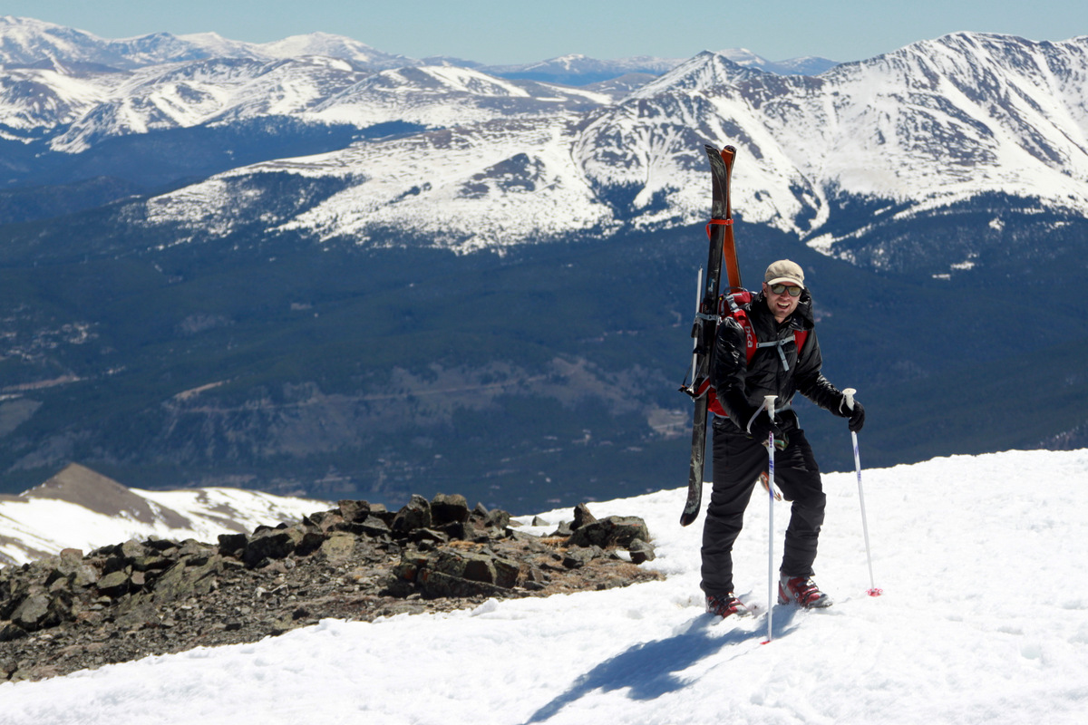
Crystal Peak summit (13,852′)
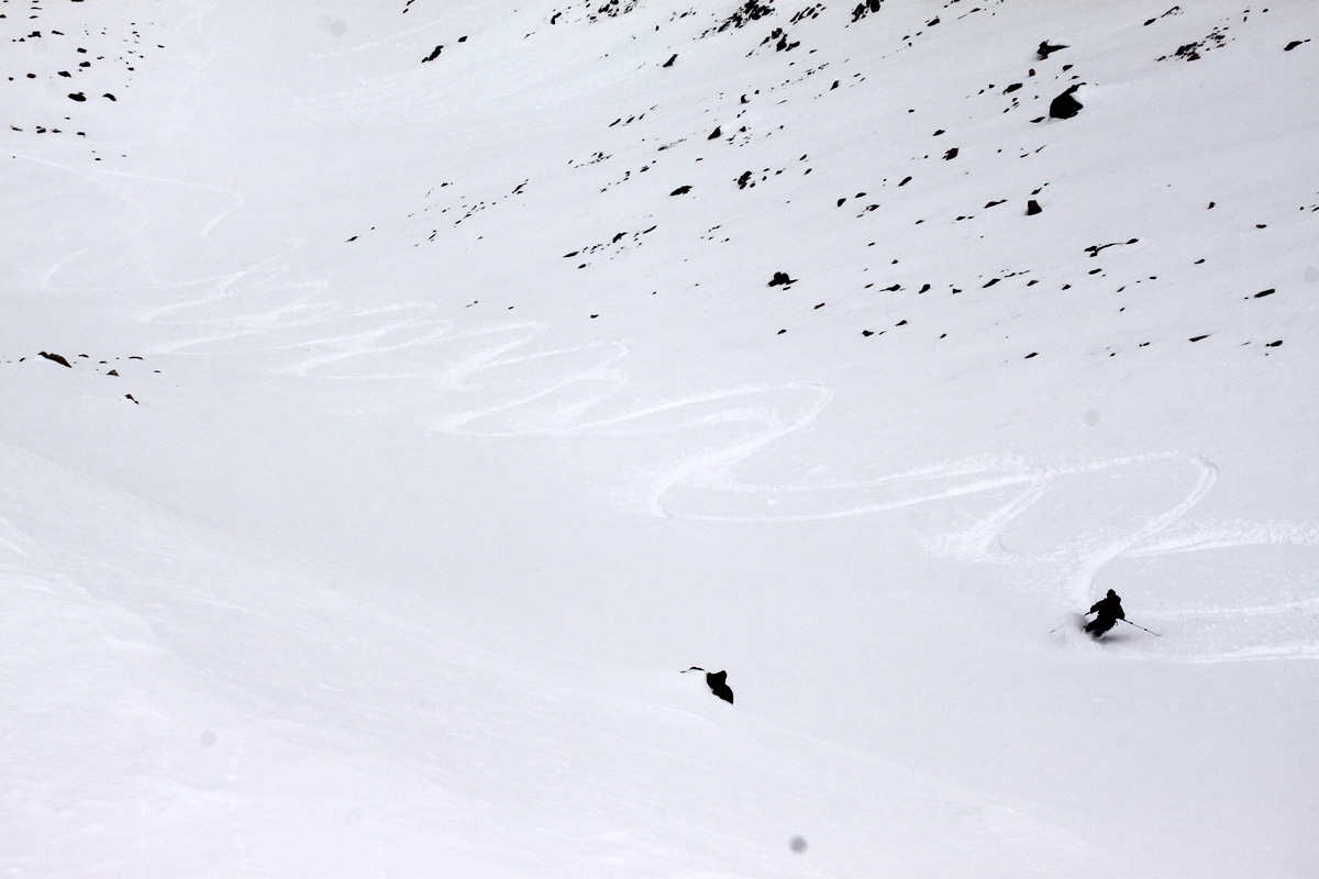
I think if we had skied the face maybe 45 minutes to an hour earlier, conditions would have been optimal. Spring corn skiing is all about timing. Too early in the day, the snow is still too frozen. Too late in the day, the snow has turned to wet slop making wet slab avalanches more likely. Ideally, you want to ski when the top inch or two has softened up with the sun allowing for your skis to hold a good edge. As it was, it was still pretty good corn skiing, though the lower part of the face was a bit mushy and grabby. We topped out around 10:45am and started skiing by 11am or shortly afterwards. We hall had a really fun time with the ski.
Kristine skiing the really fun east face of Crystal Peak

Kristine dropping the knee in good form
Kristine & Kona enjoying the sun and snow

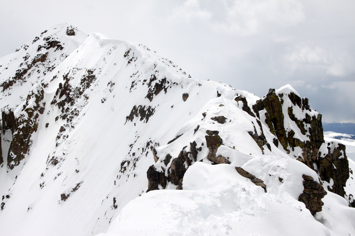
Crystal’s east face is a really fun ski
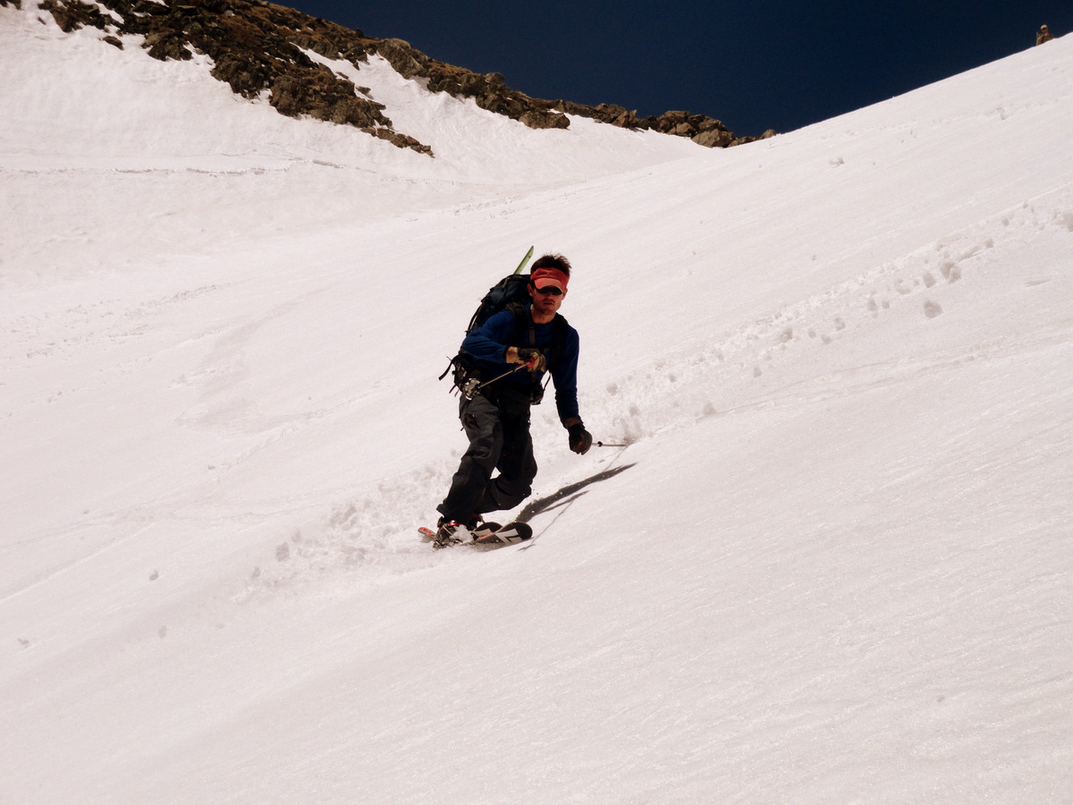
Me enjoying some nice corn
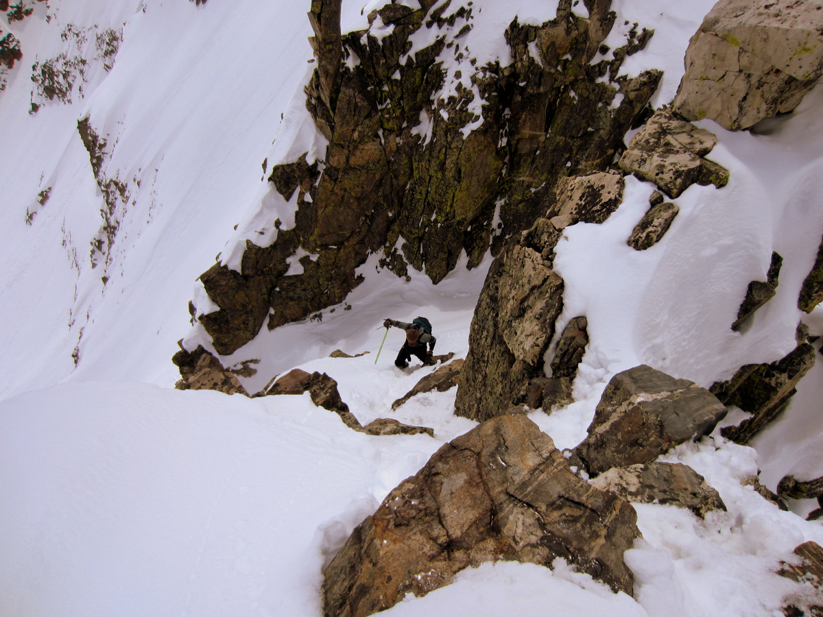
The steep chute into the lower Crystal Creek basin had really thawed out and I let some sluff go skiing the chute, but it was still safe and some fun turns.

Me skiing down the steeper gully to the lower Crystal Creek drainage
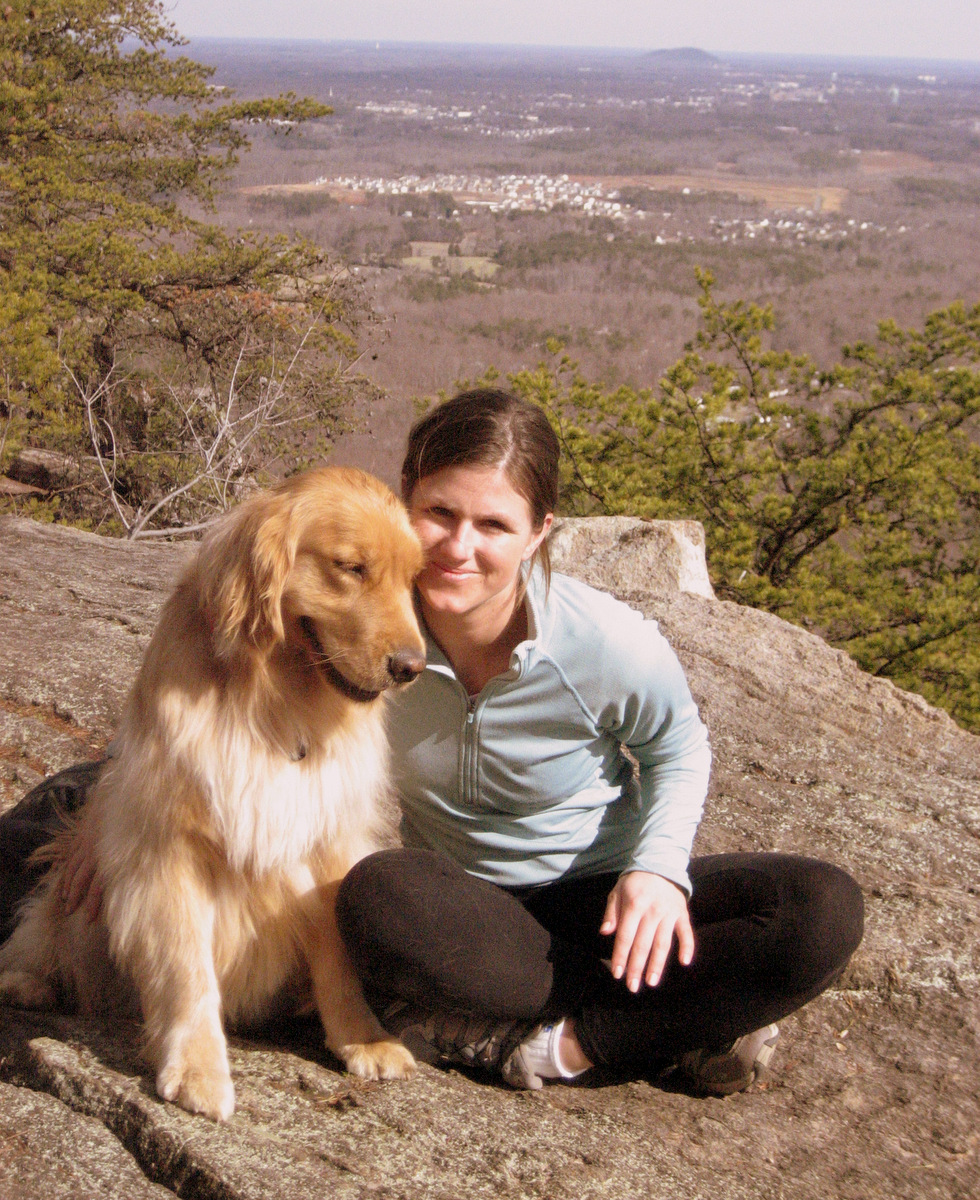
We eventually made our way back to below tree line, put the skis on our packs again and hiked the remaining mile back to my truck arriving around 1pm. This east face route is around 9.5 miles roundtrip with 3,500′ of elevation gain from the Spruce Creek trailhead. It was great to get out again on a ski-mountaineering adventure with Kristine and introduce Mike to the world of ski-mountaineering. I think he really enjoyed the trip. Lastly, it was fun to check out a new centennial peak for all of us. Only regret is not having Rainier with us, but she was having fun hiking in Vail. At 10 1/2 years old, Rainier doesn’t need to be trying to keep up with us anymore on the descent while we are on skis.Though our schedule is so busy with travel the next few weeks, here’s to hoping we can get out for another ski-mountaineering adventure before the snow completely melts out in the high country.
 Follow