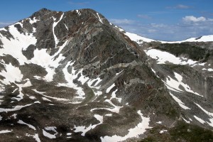
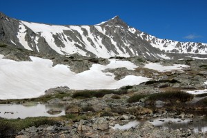
Keller Mountain Loop

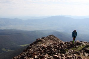
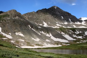
Keller Mountain is one of the prominent peaks of the Gore Range and has a really fun and enjoyable class 3 scramble up its east ridge.This route & peak had been on my tick-list for awhile and is even featured in David Cooper’s Colorado Scrambles book. As Kristine and I had our friends Brett & Maura’s wedding in Parker (south Denver) last Saturday evening, we decided to check out Keller Mountain on the way down. Reid Jennings also joined us for the climb. I believe we set off up the North Rock Creek trail around 7am and made speedy time up to the Boss Mine at 2.2 miles. We then steeply climbed up the mine ruins over dirt, talus, and an occasional trail to reach the treed east ridge. Breaking through treeline, we then saw the beginning of the boulder-strewn slope leading up to the first point along the east ridge.

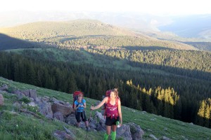
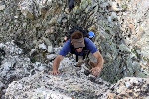
Kristine making her way up to the starting point for the east ridge scramble

Kristine making her way up to the starting point for the east ridge scramble

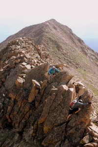
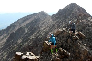
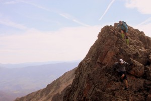
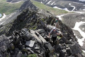
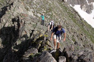
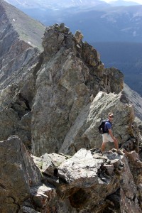
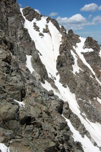
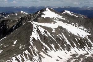
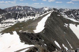
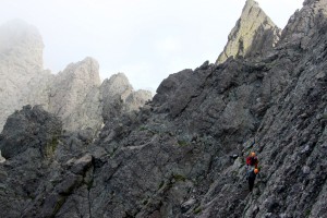
We passed a team or two on the way up and began the fun class 3 scrambling along Keller’s east ridge up and over Point 12,847′, a sub-summit of Keller, and then on along to Keller’s true summit.

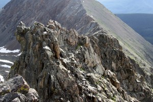
The classic east ridge scramble to Keller's summit

The classic east ridge scramble to Keller’s summit

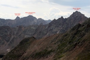
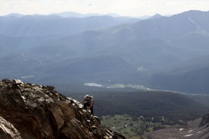
Mt. of the Holy Cross framed by North Traverse Peak (left) and the end point of the Keller Mtn Ridge, Point 12,860' (right). We ended up reaching the saddle between these two peaks and descending back into the North Rock Creek drainage

Mt. of the Holy Cross framed by North Traverse Peak (left) and the end point of the Keller Mtn Ridge, Point 12,860′ (right). We ended up reaching the saddle between these two peaks and descending back into the North Rock Creek drainage

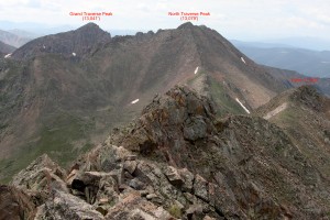
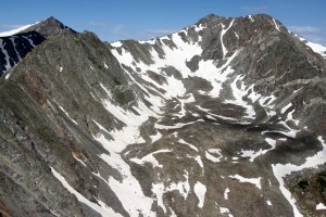
The Gore Grand Traverse from the northeast. Grand Traverse Peak on left and North Traverse Peak on right

The Gore Grand Traverse from the northeast. Grand Traverse Peak on left and North Traverse Peak on right

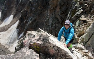
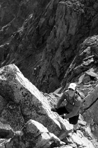
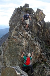
I think any of us would highly recommend this east ridge route to folks who are looking for a fun and enjoyable class 3 scramble in the Gores. We pretty much stayed ridge-proper the entire time, which maybe had a class 4 move here and there, but one can definitely keep it at class 3 by slightly dropping to either side of the ridge crest.

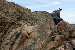
Scrambling with other climbers on Point 12,847' behind

Scrambling with other climbers on Point 12,847′ behind

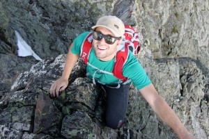
Kristine having fun

Kristine having fun

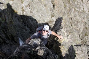
Reid

Reid

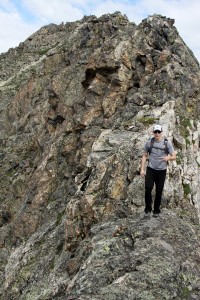
Along the east ridge

Along the east ridge

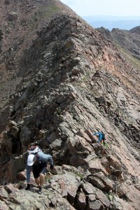
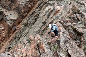
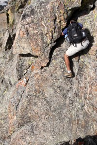
Another downclimb on the east ridge proper

Another downclimb on the east ridge proper

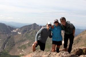
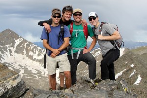
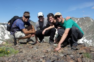
We then topped out around 10am on Keller’s summit and enjoyed the views.

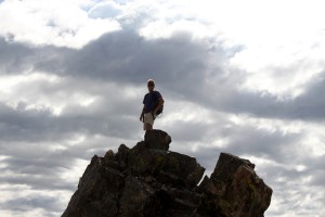
Keller Mountain summit (13,085')

Keller Mountain summit (13,085′)

Instead of backtracking the east ridge, we decided to continue on along the ridge towards the southwest over a few more unranked & unnamed summits. It was a fun scramble over to Point 13,055′ and then further on over class 3/4 rock to the lower Point 12,860′ from which we dropped down to the saddle with North Traverse Peak, the northern terminus of the Gore Grand Traverse.

Reid & Kristine along the ridge to Point 13,055' with Keller's summit behind

Reid & Kristine along the ridge to Point 13,055′ with Keller’s summit behind

Reid topping out on Point 13,055' framed by Keller Mountain (left) and Point 12,847' (right) along Keller's east ridge

Reid topping out on Point 13,055′ framed by Keller Mountain (left) and Point 12,847′ (right) along Keller’s east ridge

Looking south from Point 13,055'

Looking south from Point 13,055′

Reid along the fun ridge to Point 12,860'

Reid along the fun ridge to Point 12,860′

Reid

Reid

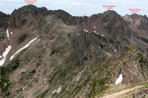
Connecting ridge from Point 12,860' to Climber's Point (13,005')

Connecting ridge from Point 12,860′ to Climber’s Point (13,005′)

Looking southeast from Point 12,860'

Looking southeast from Point 12,860′

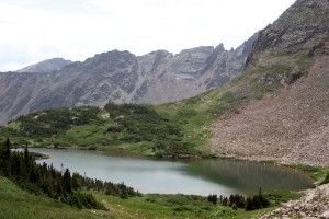
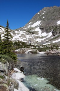
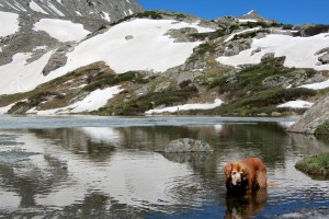
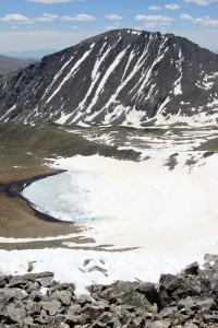
We then figured we could drop into the North Rock Creek drainage from the saddle and make our way bushwhacking through the thick willows and forests once we got below treeline. We passed an isolated lake right at treeline in the upper basin which was gorgeous.

Isolated lake high in North Rock Creek drainage

Isolated lake high in North Rock Creek drainage

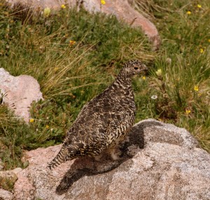
Grouse

Grouse

However, the bushwhacking that ensued through the willows exceeded our expectations and not for the better. The willows were so thick we were stepping on branches and not even earth. I was actually getting a bit concerned with our timing with regards to making the wedding if we didn’t come upon some sort of a trail. As fortune would have it, we got through the willows, dropped down to a boulder field, and fortunately found a cairned faint trail leading the direction we wanted to go. Another hour along this faint trail got us to the Boss Mine from where we continued on the North Rock Creek Trail back to the cars arriving around 2:30pm. I feel fortunate we found that faint trail in the North Rock Creek drainage because with anymore bushwhacking, we would have likely not made the wedding. I think we all enjoyed making the Keller Mountain climb a loop and extending the ridge traverse all the way to the saddle with North Traverse Peak. It was a fun outing. Total stats was approximately 12.5 miles and 7.5 hrs roundtrip with maybe 4,300′ of elevation gain. And, we made the wedding just fine.

The Crestone Traverse

The famous Crestone Traverse, one of Colorado’s 4 great fourteener traverses, is truly a celebrated classic scramble. Its even described in David Cooper’s Colorado Scrambles book. This traverse links the two famous and more difficult 14ers, Crestone Needle & Crestone Peak, down in the Sangre de Cristo Range. However, the traverse stays primarily on the west side of the ridge and does not follow the ridge proper for good reason. Following the ridge proper would entail serious class 5 climbing and likely many rappels. And, this traverse is supposed to be a scramble.
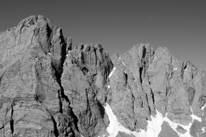
Crestone Needle (left) & Crestone Peak (right) as seen from Humboldt Peak back in 2009

Crestone Needle (left) & Crestone Peak (right) as seen from Humboldt Peak back in 2009

Despite having climbed Crestone Needle & Crestone Peak each twice over the years and attempted the traverse once back in October 2007, I have always wanted to get back and finish it. That cold October day back in 2007 was full of routefinding issues not to mention a high fever I was running thus all contributing to us bailing off the traverse down a rocky couloir to the west.
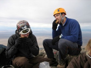
Derek & I on the summit of Crestone Peak in late October 2007 before our failed attempt on the traverse

Derek & I on the summit of Crestone Peak eating KFC in late October 2007 before our failed attempt on the traverse

My good friend Reid Jennings had been asking me to go with him down to the Crestones and do the traverse as he had not climbed these peaks. I was definitely in as I wanted to finish the traverse as well as help Reid fulfill his 14er goals. Good friend Derek Drechsel, who was with me on the original traverse attempt and who has since finished climbing all of Colorado’s 14ers, wanted to go back. Lastly, Mike Santoro joined us as he is an avid rock climber with me and wants to really get into the 14er frenzy, especially the more scrambly ones. Mike & I drove down from Vail and met Reid & Derek at the new South Colony Trailhead around 10:45pm Friday night as they were coming from Denver. Since Derek & I were last in the Crestones for Ryan “Baba” Aldrich’s 14er finale on Humboldt Peak in July 2009, the forest service had closed the upper half of the 5 mile long 4wd South Colony Lakes Road and installed a new trailhead and gated the road adding an extra 2.6 miles each way for the climb.
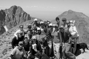
Ryan "Baba" Aldrich's 14er finale extravaganza on the summit of Humboldt Peak in July 2009

Ryan “Baba” Aldrich’s 14er finale extravaganza on the summit of Humboldt Peak in July 2009

Due to the extra mileage and the strong chance for thunderstorms brewing before noon, I suggested we leave the cars around 2:30am and that’s exactly what we did despite only having gotten an hour or two of solid sleep. We made good time to the upper trailhead where we had parked all those times before covering the 2.6 miles and 1000′ vertical gain in just less than an hour. We made good time in the dark to the vicinity of Lower South Colony Lake and made the turn off for Broken Hand Pass. The moderate class 3 scrambling up to Broken Hand Pass (12,850′) was easy enough in the dark. The issue with going up Broken Hand Pass is that you then have to descend over 500′ down to Cottonwood Lake before starting up the Red Couloir of Crestone Peak. It started getting light enough once we reached Cottonwood Lake to see our ascent route ahead up the fun class 3 Red Couloir.
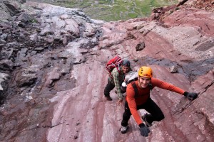
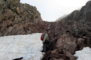
Reid & Mike in good form climbing the Red Couloir on Crestone Peak
Reid & Mike in good form climbing the Red Couloir on Crestone Peak

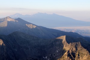
The Blanca Group with the Sand Dunes at lower right
The Blanca Group with the Sand Dunes at lower right

Mikey have a ball in the Red Couloir

Mikey have a ball in the Red Couloir

We reached the top of Crestone Peak just after 7am, which I believe was the earliest in the day I have ever stood atop a 14er. The early morning misty clouds engulfed the final few hundred feet of Crestone Peak, which definitely gave an eerie yet magical feel to the summit. Everyone was excited, especially Reid & Mike, for whom this was a new 14er summit.
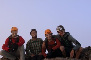
Crestone Peak summit (14,294')

Crestone Peak summit (14,294′)

The San Luis Valley 6,000' below

The San Luis Valley 6,000′ below

We didn’t dabble too long on the summit as we had to descend back down the Red Couloir a few hundred feet to find the exit for the traverse. Derek & I had spotted the cairned exit on the ascent and so we begin the fun walking on exposed grass ledges interspersed with some scrambling to start the traverse.
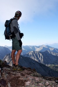
Me checking out the exit in the Red Couloir to start the traverse
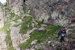
Me checking out the exit in the Red Couloir to start the traverse

The easy first half of the traverse across grass ledges and short gullies
The easy first half of the traverse across grass ledges and short gullies

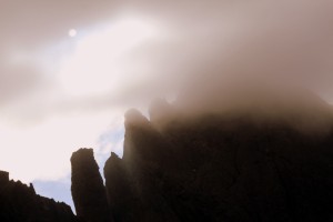
Crestone Needle and its north ridge comprising several gendarmes looking ominous through the clouds

Crestone Needle and its north ridge comprising several gendarmes looking ominous through the clouds

The weather so far was on our side and we made good time up the class 3 rock gully to the mid point of the traverse at the base of the ominous Black Gendarme – a 200’+ tower of crestone rock.
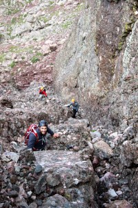
The fun class 3 gully that leads to the base of the monstrous Black Gendarme

The fun class 3 gully that leads to the base of the monstrous Black Gendarme

This is where Derek, me, and our crew got all turned around 6 years ago. However, I knew the route now much better and the climbing from here on out went like clockwork. We ascended a short (maybe 10′) 5.2 crux to enter the steep gully immediately to the south of the Black Gendarme. After some class 3 climbing up the gully to the notch where we could peer 2,500′ down to Upper South Colony Lake, we hopped on an exposed but short knife-edge ridge to access the class 3 Z-ledges (named so because of the zig-zag nature) which eventually led up to the final class 4 summit pitch. These ledges consisted of pretty fun scrambling and were definitely much mellower than they appear from down below the Black Gendarme. Everyone was doing extemely well and all making good time.
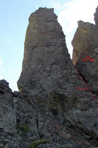
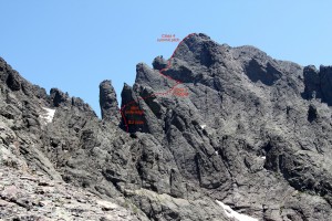
The Black Gendarme which begins Crestone Needle's north ridge. The 5.2 technical crux is shown to the Black Gendarme's right (south) followed by a class 3 climb up the gully to a mini knife-ridge

The Black Gendarme which begins Crestone Needle’s north ridge. The 5.2 technical crux is shown to the Black Gendarme’s right (south) followed by a class 3 climb up the gully to a mini knife-ridge
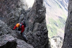
The final 500' up to Crestone Needle on the Crestone Traverse (picture taken back in July 2009)
The final 500′ up to Crestone Needle on the Crestone Traverse (picture taken back in July 2009)

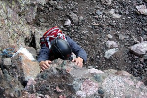
Mike ascending the 5.2 technical crux of the traverse just to the south of the Black Gendarme
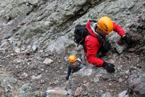
Mike ascending the 5.2 technical crux of the traverse just to the south of the Black Gendarme

Though low 5th class, this crux is only about 10 ft
Though low 5th class, this crux is only about 10 ft

Derek showing us how its done on the mini knife-ridge
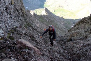
Derek showing us how its done on the mini knife-ridge

The class 3 Z-ledges
The class 3 Z-ledges

The Z-ledges are really fun class 3 climbing which spit you out at the base of the final class 4 headwall up to Crestone Needle's summit via the north ridge

The Z-ledges are really fun class 3 climbing which spit you out at the base of the final class 4 headwall up to Crestone Needle’s summit via the north ridge
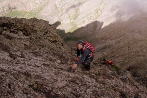
Mike

Mike loving the crestone conglomerate holds
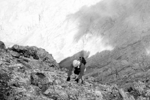
Derek enjoying the scrambling

Derek enjoying the scrambling

The final class 4 summit pitch up Crestone Needle’s north ridge is what this traverse is all about. Good climbing on solid crestone conglomerate rock up a steep 100′ pitch with some awesome exposure and alot of air under your feet all help to make this a memorable scramble. The airy position of this summit pitch definitely adds to the intensity and excitement. I said for Mikey to start up first as he reached my position at the base of the summit pitch shortly followed by Derek.
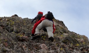
Derek & Mike climbing the class 4 summit pitch up to Crestone Needle

Derek & Mike climbing the class 4 summit pitch up to Crestone Needle

I knew Reid and/or others may want to be belayed on this pitch, so I brought my 30m/8mm rope, harness, a selection of cams and slings just in case, which I am always more than happy to do. I want my buddies to feel comfortable climbing these pitches and if it helps ease their minds so they can climb well, I am all for that. I knew Reid may want a belay for this pitch as it is very exposed. He definitely agreed and so we harnessed up and I climbed the pitch with one end of the rope tied to my harness.
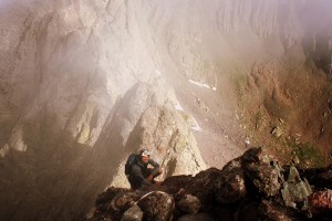
Me almost to the fixed webbing atop the class 4 summit pitch on Crestone Needle

Me almost to the fixed webbing atop the class 4 summit pitch on Crestone Needle

I anchored myself into the webbing which was in place slung around a rock and belayed Reid up the pitch. It was fun for me watching him climb up the class 4 rock with the incredible air beneath his feet.

Reid climbing the class 4 summit pitch
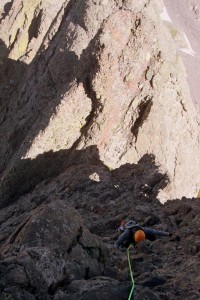
Reid climbing the class 4 summit pitch

This pitch is so awesome. Classic crestone conglomerate climbing in a very airy position

This pitch is so awesome. Classic crestone conglomerate climbing in a very airy position

I was getting pretty cold with the wind and 14,000′ air temperature with just my shorts on (not all that smart, I know), but Reid topped out in no time and I took him off belay. We then stowed the gear in our packs and scrambled up the final easy ridge to the summit where we joined Mike & Derek.
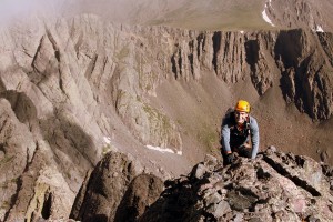
Reid on the short scramble to the summit of Crestone Needle

Reid on the short scramble to the summit of Crestone Needle

It was a celebratory summit for all, but we didn’t stay too long because of the wind and cold. The Crestone Traverse had taken us about 2 hrs summit to summit.
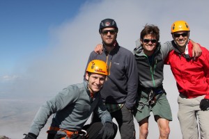
Crestone Needle summit (14,197')

Crestone Needle summit (14,197′)

We then descended the class 3/4 east gully on Crestone Needle’s south face the entire way down to the trail leading back to Broken Hand Pass to complete the full loop. I had forgotten how fun this Crestone Needle east gully climbing really was – even going down.
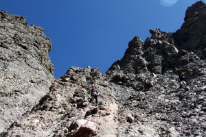
Descending the east gully of Crestone Needle on its south face
Descending the east gully of Crestone Needle on its south face

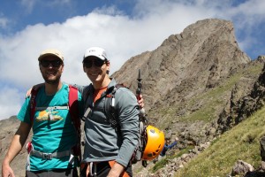
Mike & Reid almost back to Broken Hand Pass with Crestone Needle's east gully behind

Mike & Reid almost back to Broken Hand Pass with Crestone Needle’s east gully behind

We all eventually made it back to Lower South Colony Lake around 11am and soaked our feet for half an hour. We arrived back at the cars around 1:30pm for an approximate 13 mile roundtrip day with 6,000′ of vertical gain. After an awesome deli sandwich in Westcliffe, we said our goodbyes and congrats and went on our respective ways back to Vail & Denver. The next day Kristine was planning a hike with our good friend Lauren McKeone and all the dogs up the familiar Villa Ridge on the high 13er Drift Peak (13,900′), so I joined them on the fun hike. We started hiking around 8am or so and returned to the car around 12:30pm for a wonderful half day hike with all the ladies – 2 humans and 4 dogs. I am a lucky guy. It was all of their first summit of Drift Peak which made it extra special.

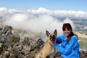
Kristine & Lauren climbing above the clouds on Drift Peak's Villa Ridge

Kristine & Lauren climbing above the clouds on Drift Peak’s Villa Ridge
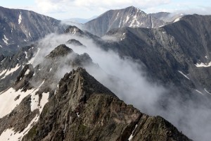
The clouds seeping through the notches in the Drift Peak-Wheeler Mtn ridge
The clouds seeping through the notches in the Drift Peak-Wheeler Mtn ridge

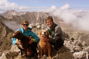
Scout & Lauren on the summit of Drift Peak (13,900')

Scout & Lauren on the summit of Drift Peak (13,900′)
The Chalks on the summit of Drift Peak (13,900')

The Chalks on the summit of Drift Peak (13,900′)
Birthday Camp & Father Dyer Peak-Mt. Helen Traverse

Well, my birthday was last week (June 24) and my only wish was to go camp at my most favorite camping spot on the planet – on the summit of our local Red & White Mountain (11,200′). Kristine made me a wonderful filet dinner on my birthday which surpassed that of the Sheridan Chophouse down in Telluride. It was absolutely awesome. Most of my good friends tend to be younger than I am, and many continually remind of that fact that I am older than they are, but good Kristine always reminds me I am still young. In fact, at a recent wedding down in Tampa, FL, with my good college friends and fraternity brothers, some 20 something kids came up to me after the 80s ballad blaring reception and and said “Wow, you guys rock. How old are ya’ll?” I thought it was hilarious and responded by saying “Well, most of us are in our mid 30s, but we are all your age (or younger) at heart.” Anyway, some pics of our Thursday night camp up on Red & White Mountain’s summit are below:

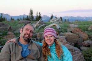
Kristine & Sarah hiking up to Red & White's summit plateau

Kristine & Sarah hiking up to Red & White’s summit plateau

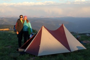
Kristine, Sarah, & our "clown" tent

Kristine, Sarah, & our “clown” tent

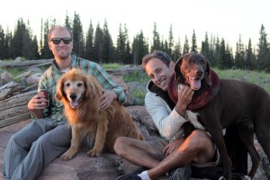
Mikey, Rainier, J, & Kona watching the sunset

Mikey, Rainier, J, & Kona watching the sunset

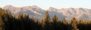
Alpine glow on Eagle's Nest, Mt. Powell, and Ripsaw Ridge in the Gores
Alpine glow on Eagle’s Nest, Mt. Powell, and Ripsaw Ridge in the Gores
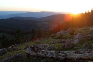
Sunset from Red & White Mountain

Sunset from Red & White Mountain

Sarah & Keith enjoying the view

Sarah & Keith enjoying the view

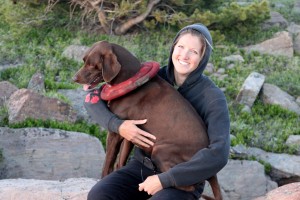
Kristine & Kona

Kristine & Kona

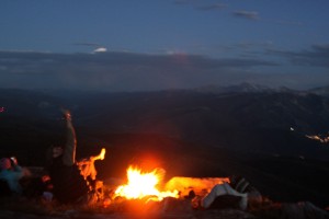
A great campfire and outstanding views of the mountains, valleys, & constellations

A great campfire and outstanding views of the mountains, valleys, & constellations

Wanting to do a scramble or couloir climb on Saturday, our Crestone Traverse climb changed to a Holy Cross Couloir climb and then finally to a shorter scramble over in the Tenmile Range near Breckenridge mainly due to the ever-changing weather forecasts around the state. We’ve been constantly heading over to the Tenmile & Mosquito Ranges this spring for adventures and they never disappoint. These peaks are high in elevation, are close in proximity to Vail, there are great skis and climbs, and most trips make for great single half-day or day outings. Mikey, J, & I met Reid at the Spruce Creek trailhead around 6:30am and had a great morning ascending the classic scramble up the the east ridge of the high 13er, Father Dyer Peak, and then making the fun traverse over to the low 13er, Mt. Helen, and back down to the trucks. This loop was just what the doctor ordered – short enough to avoid the incoming thunderstorms and really fun scrambling high on ridges. The loop was about 7 miles and 4 hours roundtrip with maybe 3,500′ of vertical gain. This was good scrambling practice for Mikey & Reid in preparation for the Crestone Traverse as I hope to take these guys down there in 2 weeks if the weather forecast looks favorable for the Crestones. Enjoy the following pics of our Father Dyer Peak – Mt. Helen outing:

Father Dyer's east ridge in full profile. This ridge is really fun and easy class 3 scrambling

Father Dyer’s east ridge in full profile above Lower Crystal Lake. This ridge is really fun and easy class 3 scrambling

The boys on Father Dyer's east ridge

The boys on Father Dyer’s east ridge

Reid topping out on Father Dyer's east ridge

Reid topping out on Father Dyer’s east ridge

Father Dyer summit (13,615') at 8:15am. Notice the storms in the sky behind us. This wasn't too inspring but fortunately the storms skirted us

Father Dyer summit (13,615′) at 8:15am. Notice the storms in the sky behind us. This wasn’t too inspring but fortunately the storms skirted us

J on some solid rock on the traverse to Mt. Helen

J on some solid rock on the traverse to Mt. Helen

The boys on a class 2 section of the traverse

The boys on a class 2 section of the traverse

The more difficult center portion of the traverse involves class 3/4 scrambling if you stay on the ridge proper, which we did for maximum fun

The more difficult center portion of the traverse involves class 3/4 scrambling if you stay on the ridge proper, which we did for maximum fun

J on a potential low 5th class downclimb

J on a potential low 5th class downclimb

Mikey enjoying this scramble

Mikey enjoying this scramble

Reid

Reid

J sky walking on the traverse

J sky walking on the traverse

One more tower and then the difficulties ended all too soon before the Father Dyer Peak-Mt. Helen lowpoint at the saddle

One more tower and then the difficulties ended all too soon before the Father Dyer Peak-Mt. Helen lowpoint at the saddle

J enjoing a tower view along the ridge traverse

J enjoing a tower view along the ridge traverse

Reid and the difficult portion of the ridge behind him

Reid and the difficult portion of the ridge behind him

Mt. Helen summit (13,164') around 9:30am

Mt. Helen summit (13,164′) around 9:30am

Looking back at Father Dyer Peak and the traverse to Mt. Helen. Pacific Peak is in the distance on the left side of the picture

Looking back at Father Dyer Peak and the traverse to Mt. Helen. Pacific Peak is in the distance on the left side of the picture

Father Dyer's east ridge as seen from Mt. Helen's summit

Father Dyer’s east ridge as seen from Mt. Helen’s summit

Pacific Peak

Kristine & I were trying to come up with a peak to climb on the way down to Denver for our friend Jesse Hill’s annual summer solstice party and the high centennial 13er, Pacific Peak, fit that bill perfectly.

Pacific Peak just out like a shark's tooth as viewed from the east in Mohawk Lakes Basin

Pacific Peak juts out like a shark’s tooth as viewed from the east in Mohawk Lakes Basin

I had always wanted to climb the classic steep north couloir of Pacific Peak, but this day was just as enjoyable and fun as that climb would have been since we could take the dogs and we wouldn’t have to get up as early to hit the snow conditions just right. Plus, with a late night solstice party to follow, the more we could sleep in, the better. Rainier was somewhat sick last week (upset stomach), which made Kristine & I worried. After some new food, which was hopefully easier on her stomach, she got better. The realization I came to while debating the normal route vs the north couloir climb was that I want to spend as much time with Rainie as I possibly can in the mountains and on adventures because you never know how much time left you have with your loving pet. The steep, technical stuff can wait. Obviously, Kristine & I will still do these kinds of routes (to keep the blood flowing), but if there is a Rainier-friendly peak we can do and she is healthy and up for it, we will continue to do just that. Spending time with her in the outdoors and on adventures has been one of my most favorite activities in the past decade – something I will not always be able to do. The north couloir of Pacific can wait. We already have it on the agenda for next spring.

Lower Mohawk Lake

Lower Mohawk Lake

Rainie enjoying Mohawk Lake with Pacific Peak in the distance

Rainie enjoying Mohawk Lake with Pacific Peak in the distance

After sleeping in a bit, the four of us began hiking at the alpine start time of around 9am. Pacific Peak and the Mohawk Lakes basin was all new terrain for us, except Kona, which was a fun aspect of this hike. Kona had climbed Pacific with our group of friends last summer while Kristine & I were in Australia. The Mohawk Lakes Basin is gorgeous and there are numerous lakes along the way making this a great basin for the pups to keep cool. The route then ascends up to the east ridge of Pacific Peak via a 30-35 degree snow gully where Kristine & I donned our microspikes on our trail runners and used our ice axes. From the top of the east ridge, it was a simple hike alongside the highest lake in Colorado (and possibly the entire United States), Pacific Tarn (13,420′), followed by some class 2+ scrambling towards the summit. Total stats for the route from where we parked was about 7 miles roundtrip and about 3,000′ of elevation gain. It was a really fun 5 1/2 hours of hiking with Kristine and the dogs and I was proud of Rainie. She had an absolute blast and still has the peak bagging mojo. And, yes, the dogs were pooped for the party, which was all part of our plan as well. Enjoy the pics of our hike up Pacific Peak below:

We used the snow gully at far left in the picture to access Pacific's east ridge

We used the snow gully at far left in the picture to access Pacific’s east ridge

Kristine climbing the 30-35 degree snow gully

Kristine climbing the 30-35 degree snow gully

Rainie observing me taking pictures of Kristine in the snow gully

Rainie observing me taking pictures of Kristine in the snow gully

Kristine trying to get a sun tan on her legs for our Bald Head Island, NC beach trip with my family over July 4

Kristine trying to get a sun tan on her legs for our Bald Head Island, NC beach trip with my family over July 4

The lower portion of Pacific's north couloir before it doglegs up to the summit

The lower portion of Pacific’s north couloir before it doglegs up to the summit

Rainie & Kona almost to the summit

Rainie & Kona almost to the summit

The highest lake in Colorado, Pacific Tarn (13,420'), and 14er Quandary Peak in the background from Pacific's summit

The highest lake in Colorado, Pacific Tarn (13,420′), and 14er Quandary Peak in the background from Pacific’s summit

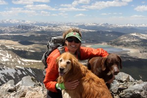
Kristine topping out on Pacific's summit

Kristine topping out on Pacific’s summit

Looking north to Crystal Peak, which we had summited and skied 3 weeks prior

Looking north to Crystal Peak, which we had summited and skied 3 weeks prior

Looking south to Atlantic Peak

Looking south to Atlantic Peak

Kona on Pacific's summit

Kona on Pacific’s summit

After a short 50 vertical foot scramble down from Pacific's summit, I got a good luck at the upper section of Pacific's north couloir

After a short 50 vertical foot scramble down from Pacific’s summit, I got a good luck at the upper section of Pacific’s north couloir

Pacific Peak (13,950')

Pacific Peak (13,950′)

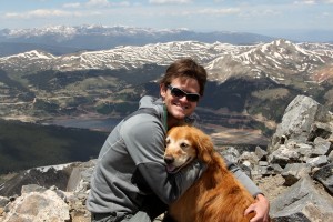
Me & Rainie on Pacific's summit

Me & Rainie on Pacific’s summit

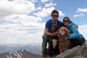
Kristine, Rainie, & Kona on Pacific's summit

Kristine, Rainie, & Kona on Pacific’s summit

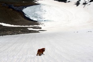
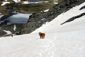
Rainie heading down to Pacific Tarn while we glissade in the soft snow

Rainie heading down to Pacific Tarn while we glissade in the soft snow

Rainie & Kona heading back down the upper portion of the snow gully to Mohawk Lakes Basin

Rainie & Kona heading back down the upper portion of the snow gully to Mohawk Lakes Basin

The Stratostier

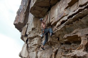
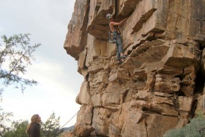
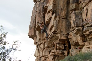
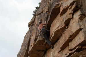
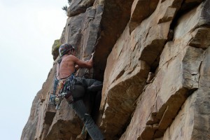
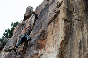
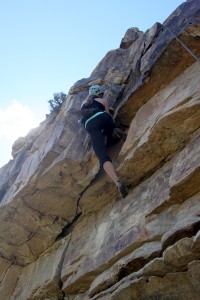
In the last week or so, I’ve made the trek up to the Stratostier, aka Wolcott’s Upper “Upper” Tier, several times with Kristine & friends to check out and climb the few established routes. However, there is so much more potential for new routes up there from crack lines to sporty face climbs. Maybe we’ll have to see what we can do in the next few years in terms of new routes up on the Stratostier. For now, enjoy some of the pics below from last week:

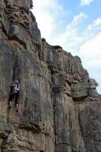
Kristine climbing Illumination (5.8) - quite a hard 5.8 in my opinion

Kristine climbing Illumination (5.8) – quite a hard 5.8 in my opinion

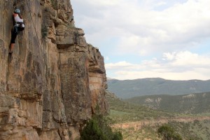
Kristine again on Illumination (5.8) at the Stratostier

Kristine again on Illumination (5.8) at the Stratostier

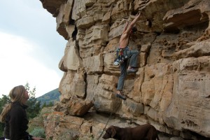
Me leading Lazarus (5.8+). However, I give this a 5.8++ rating as the roof seams like a really tough 5.8/easy 5.9 sequence of moves

Me leading Lazarus (5.8+). However, I give this a 5.8++ rating as the roof seams like a really tough 5.8/easy 5.9 sequence of moves

Lazarus sequence of pics #2

Lazarus sequence of pics #2

Lazarus sequence of pics #3

Lazarus sequence of pics #3

Lazarus sequence of pics #4

Lazarus sequence of pics #4

Lazarus sequence of pics #5

Lazarus sequence of pics #5

Lazarus sequence of pics #6

Lazarus sequence of pics #6

Lazarus sequence of pics #7

Lazarus sequence of pics #7

Lazarus sequence of pics #8

Lazarus sequence of pics #8

Kristine working Lazarus (5.8++)

Kristine working Lazarus (5.8++)

Many thanks to Dianne Oelberger who graciously videoed me up one of my favorite sport climbs on Wolcott’s Upper Tier called Osso Bocco (5.11-). I don’t think I’ve ever had someone video me while rock climbing so I enjoyed critiquing myself. I have been having some tendonitis in my right forearm, thus the shaking out of my arm quite a bit. Maybe I shouldn’t do these crimper-type climbs and let the arm heal, but its just so hard not to. Hope you enjoy the video: