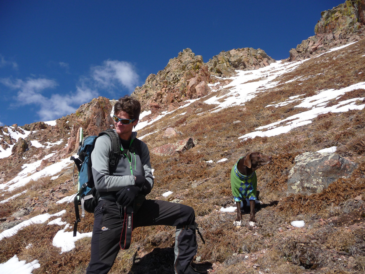
This past weekend was absolutely gorgeous late fall weather and so Kristine, Kona, & I joined up with a great crew of familiar and new faces from 14ers.com, aka my version of “facebook”, for a fun day up above Deluge Lake on 13ers Palomino Point & Mt. Valhalla in my favorite range in Colorado, the Gore Range. We had to leave Rainier with our friends Sarah & Keith in Edwards due to her having a pretty big operation last Wednesday to remove a soft cell sarcoma lump on her back that could potentially be dangerous. She is totally fine now and is the toughest cookie I know albeit a nice 8″ long stapled incision on her back. I doubt she even knows its there with all her energy to play tennis ball. I just received notice today from our great vet that the sarcoma is only a Grade 1 sarcoma, the lowest grade there is in terms of cancer’s ability to spread, and that the tumor was completely excised. About as good of news as we could expect. Its definitely a relief that’s it not any worse. She’ll be back with us in the mountains in no time.
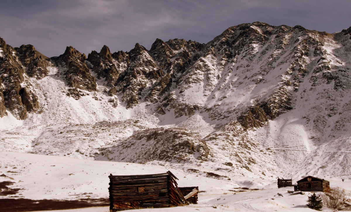
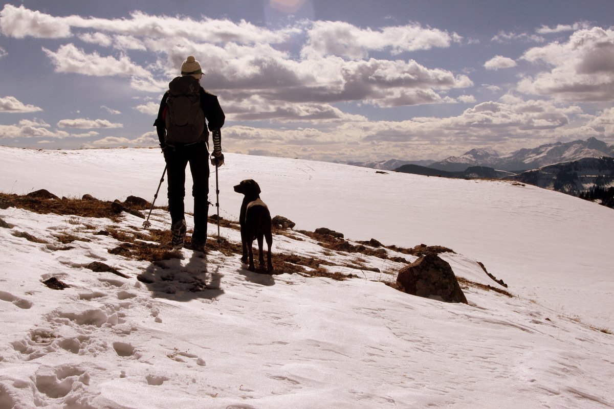
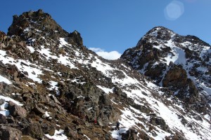
Palomino Point (13,060′) at left & Mt. Valhalla (13,180′) at right on the approach
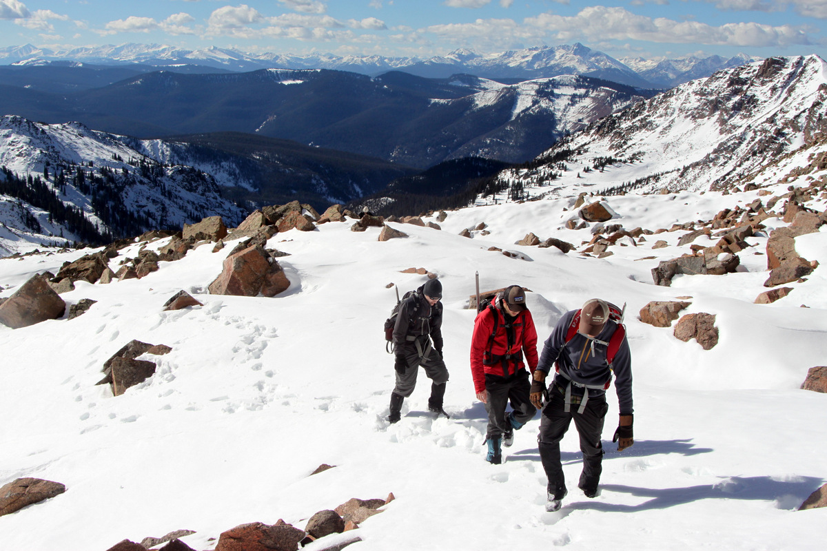
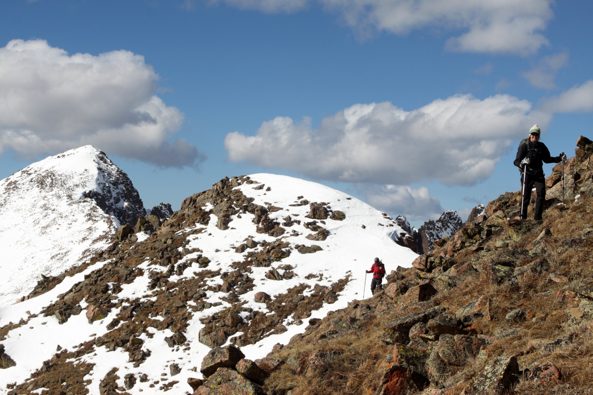
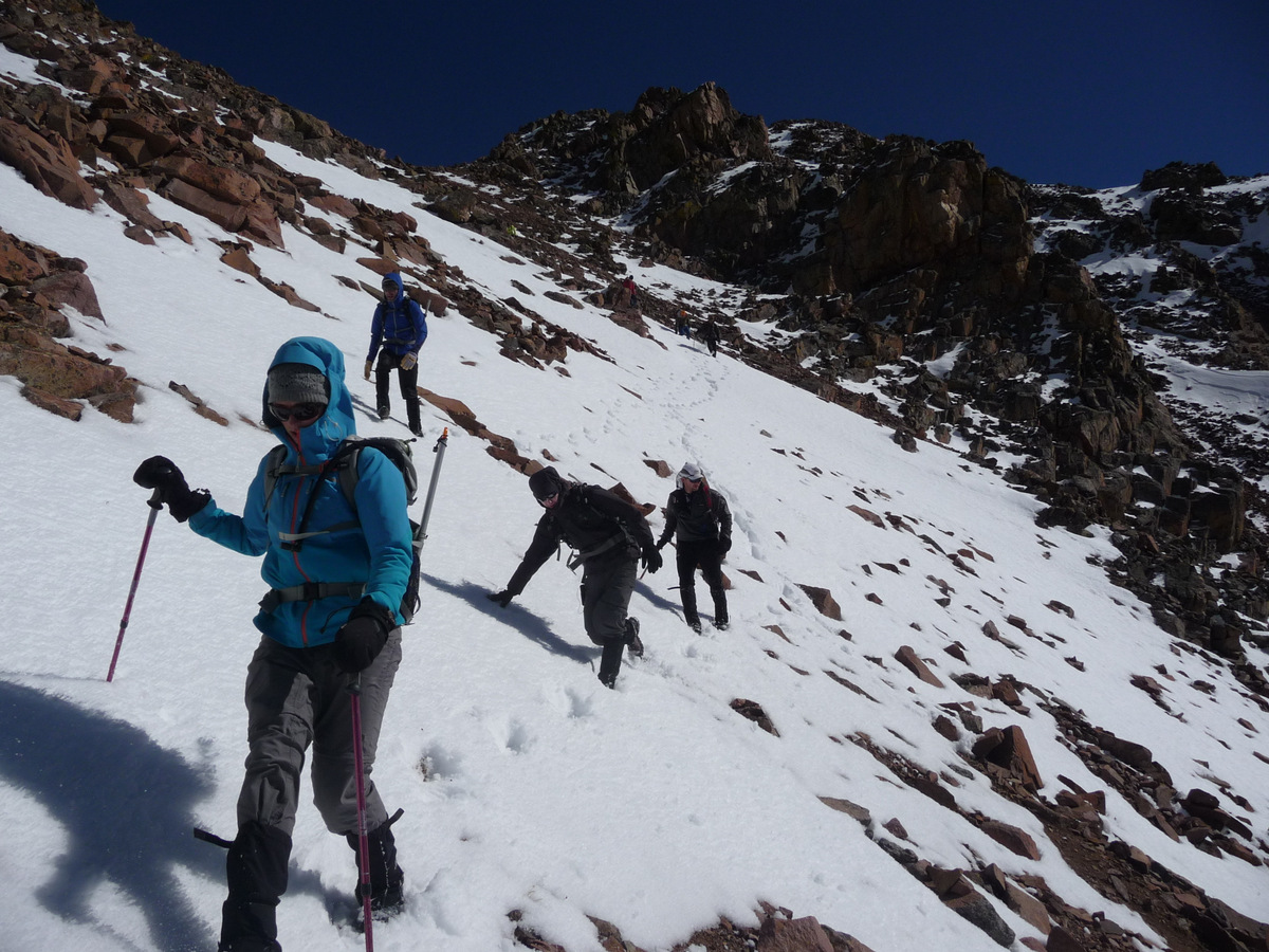
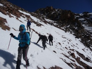
Anyway, we met the crew around 7:30am on Sunday morning at the Deluge Lake trailhead for the long and steep 4.5 mile with 3,000′ of vertical gain approach up to Deluge Lake. We had been up into the Deluge Lake Basin a few times to climb the famous Gore scrambling traverse called The Grand Traverse as well as to climb Snow Peak, but the peak we had left surrounding this basin was the mighty Mt. Valhalla. It was a great crew – many I knew and hadn’t seen in awhile, including Ryan Marsters & Jason Blyth, and some I hadn’t met yet and so enjoyed getting to know, including Dillon Sarnelli. Good friend Mike Santoro decided to drive the half mile from his East Vail home to join us for the day. Recently acquired Vail local Matt Grabina organized the crew and let the Chalks know about the hike and it was good to get out again with Matt. It was awesome for Kristine & myself to meet Jason’s wife, Becky, as well. After a few hours of mostly dry trail hiking in our trail runners and gaiters we all arrived at the frozen Deluge Lake (11,700′) and the trail breaking in snow ensued up to the steeper and drier southern slopes of the Palomino Point – Mt. Valhalla ridge.
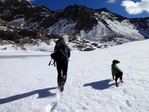
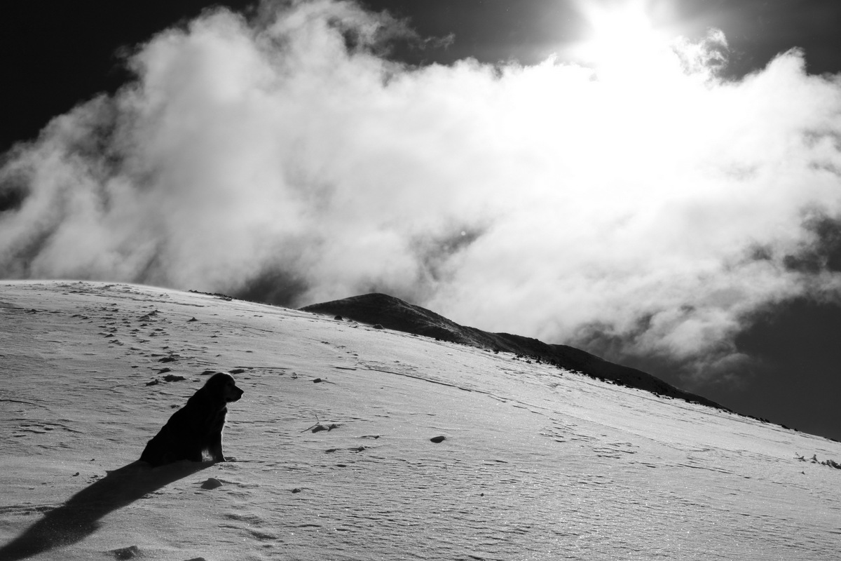
Kona & I breaking some trail around Deluge Lake. Photo courtesy of Dillon

Trail breaking above Deluge Lake

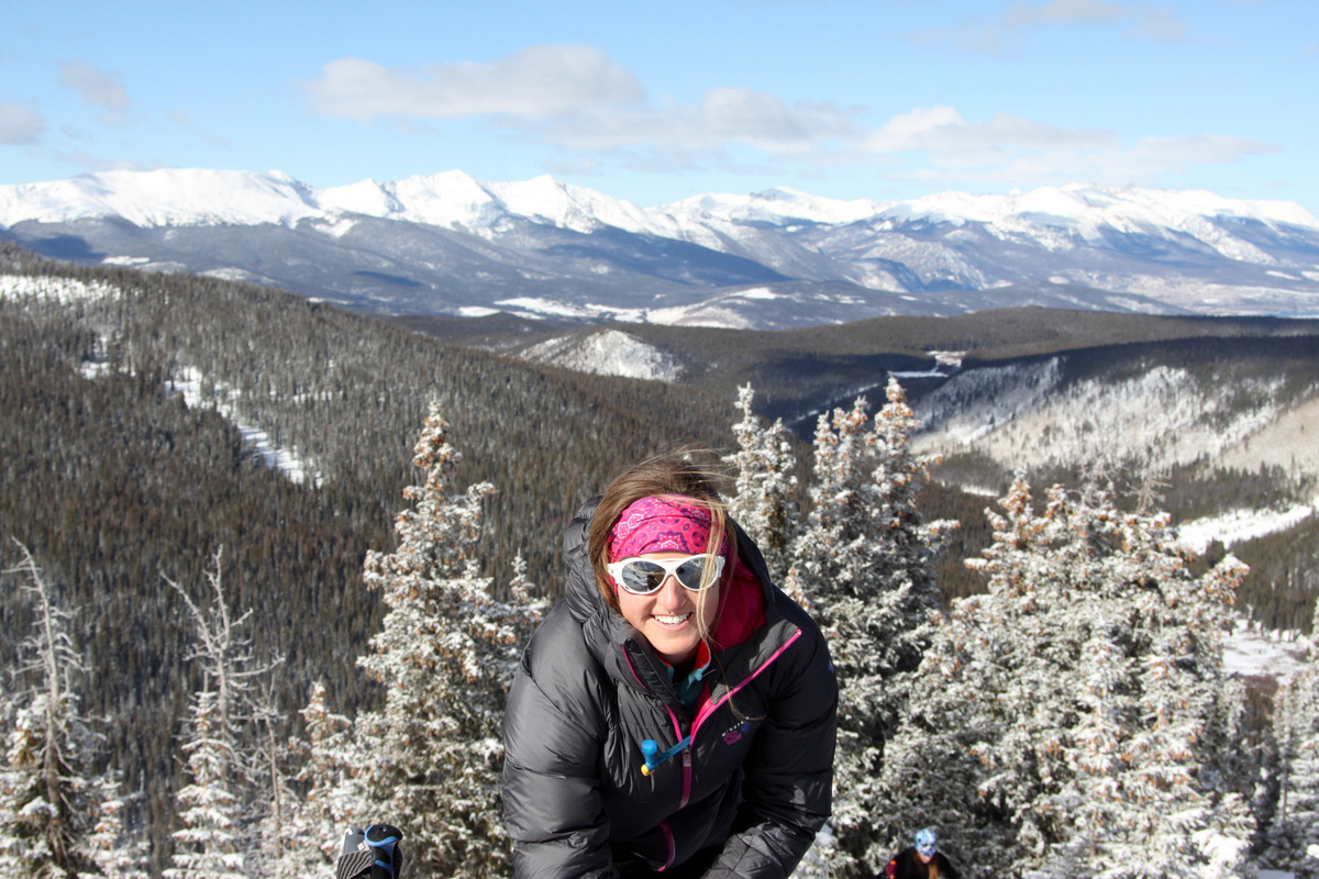
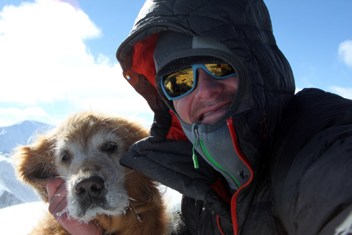
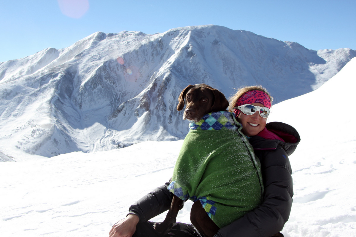
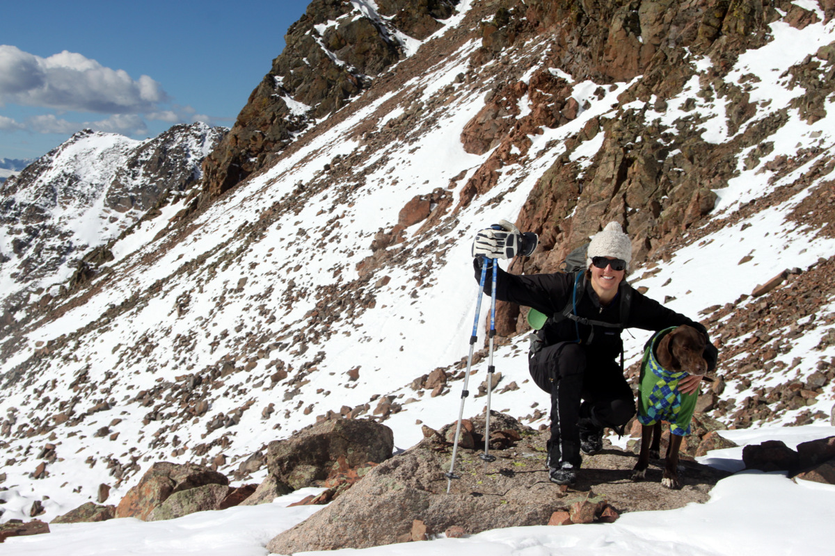
Kristine & Kona on a beauty of a day

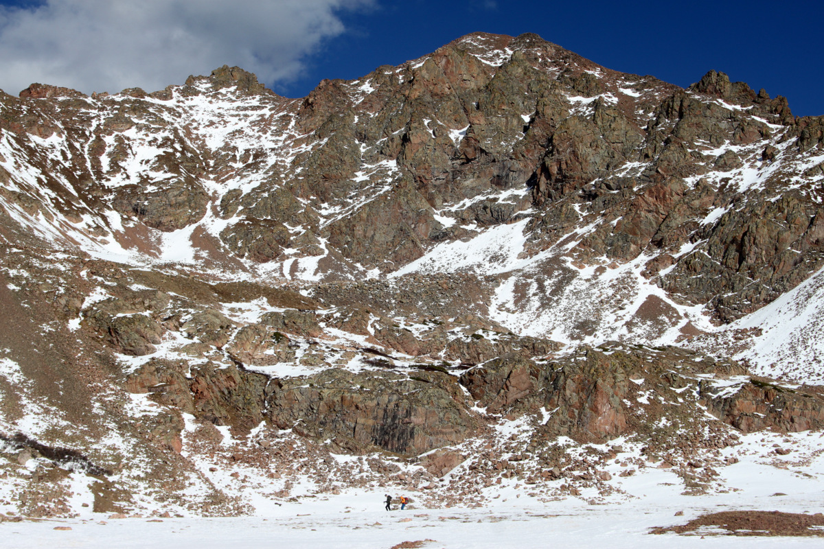
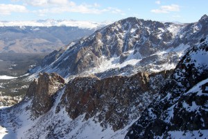
Deluge Lake basin
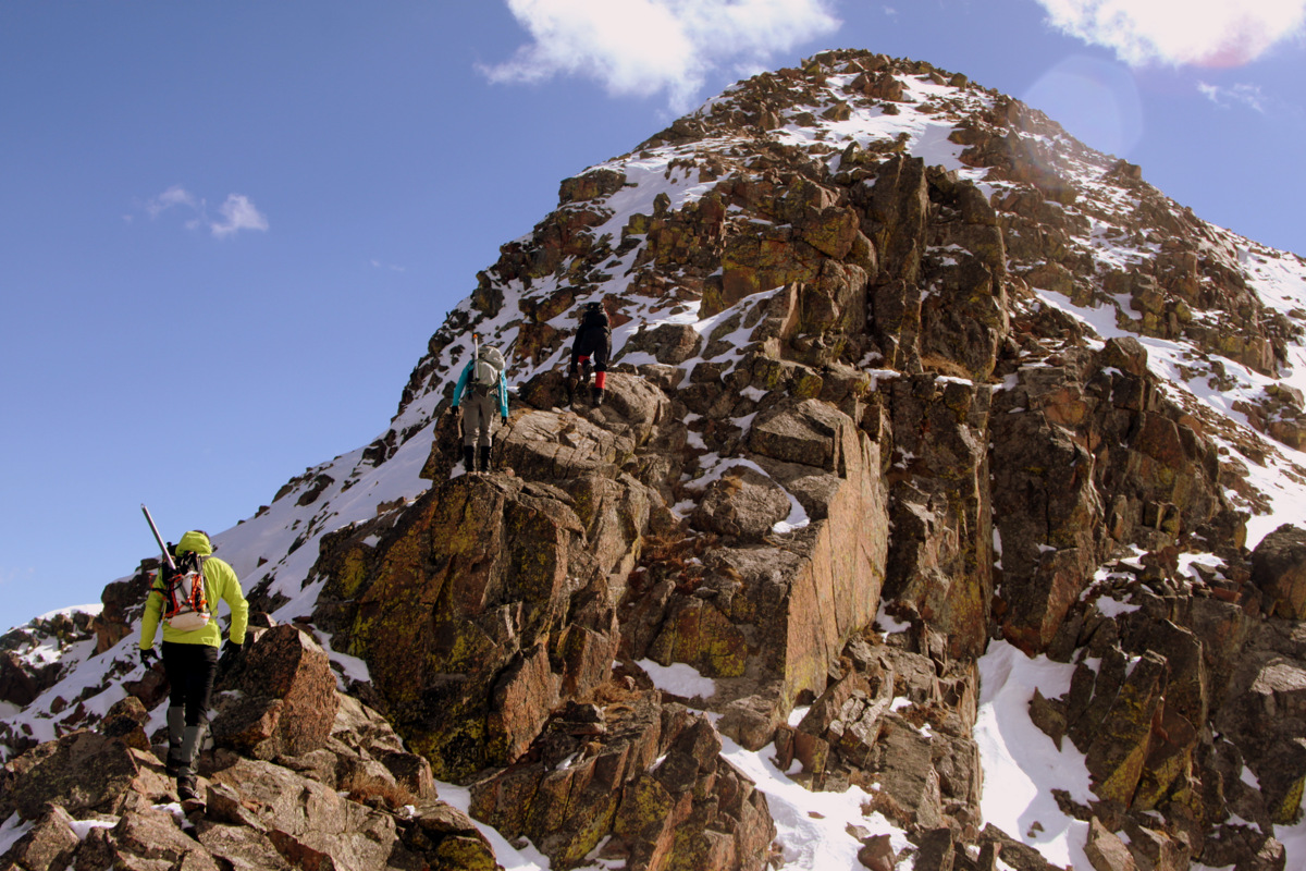
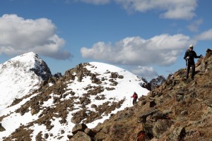
It was a quick and mostly dry climb up to the ridge on steep, grassy slopes and we all then veered east towards the unranked Palomino Point for a fun class 3/4 scramble up to its summit.
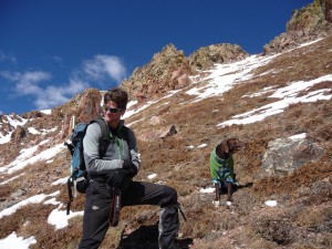
Kona & I on the steep, grassy slopes. Photo courtesy of Jason
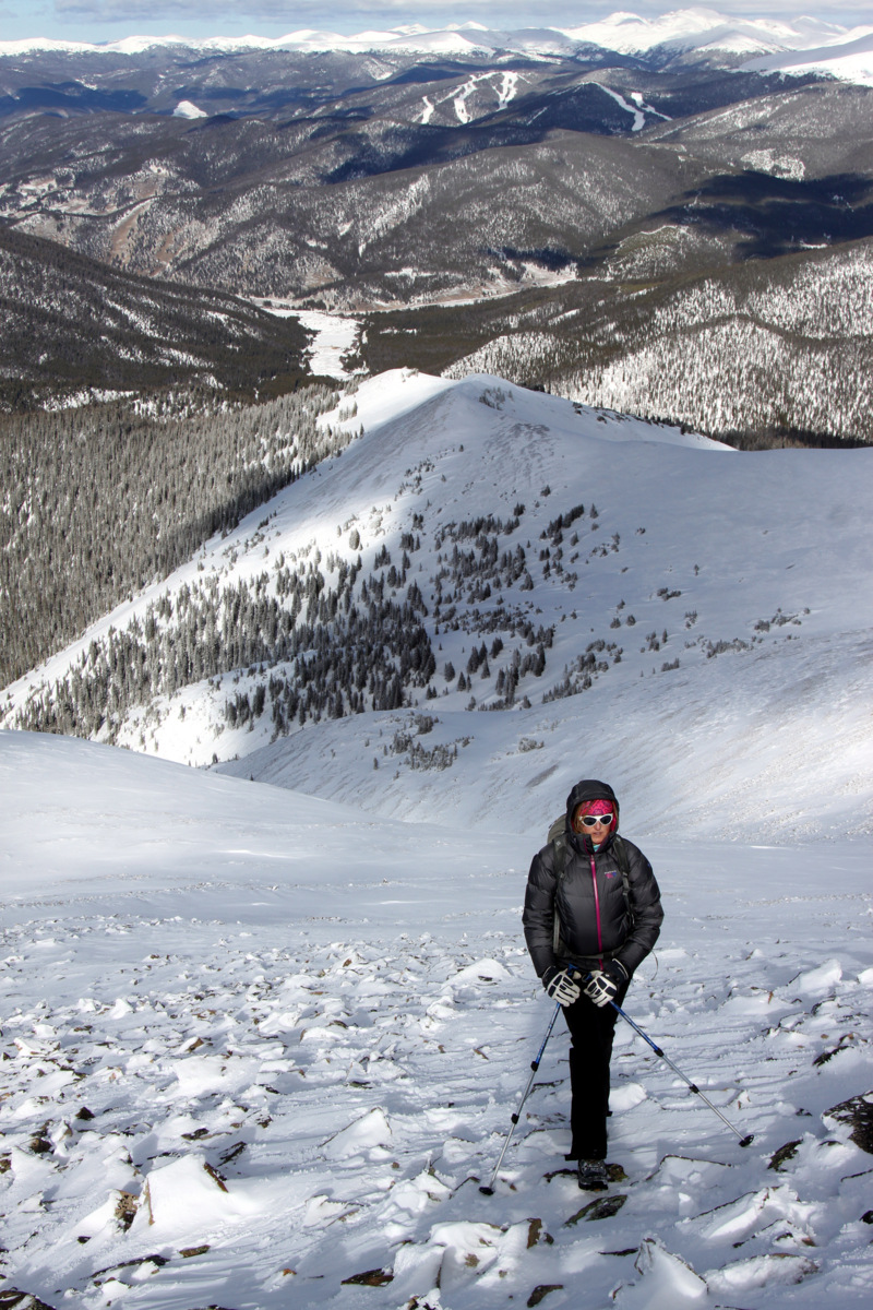
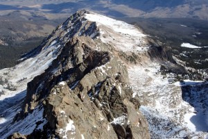
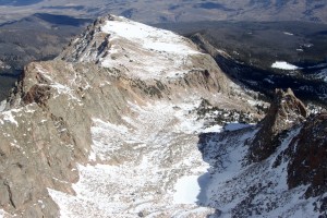
Palomino Point (left) and Mt. Valhalla (right)
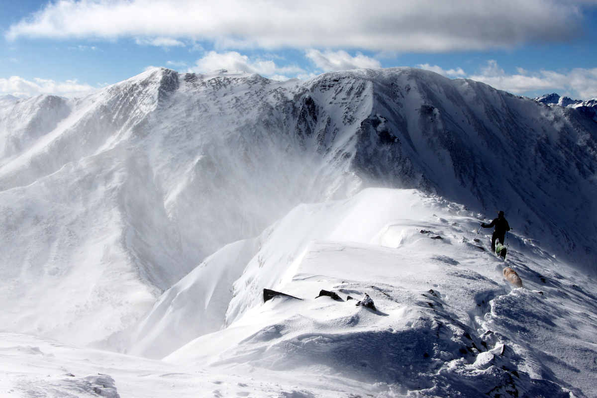
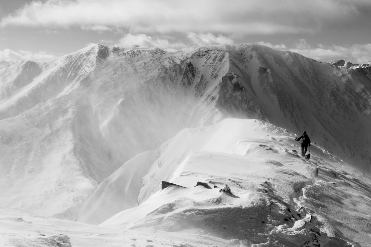
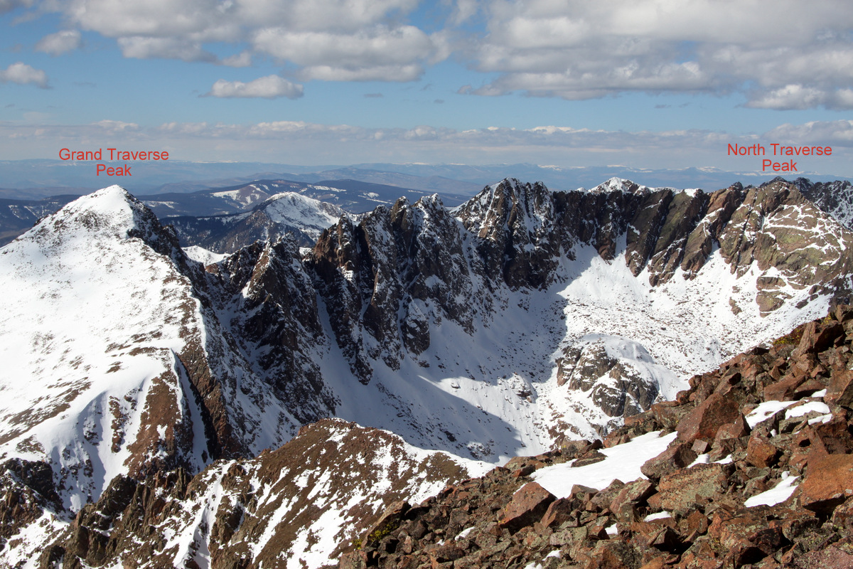
Kristine traversing the ridge to Palomino Point with Grand Traverse Peak behind
Traversing snow slopes over to Palomino Point. Photo courtesy of Jason
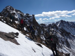
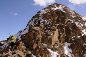
Scrambling up to Palomino Point

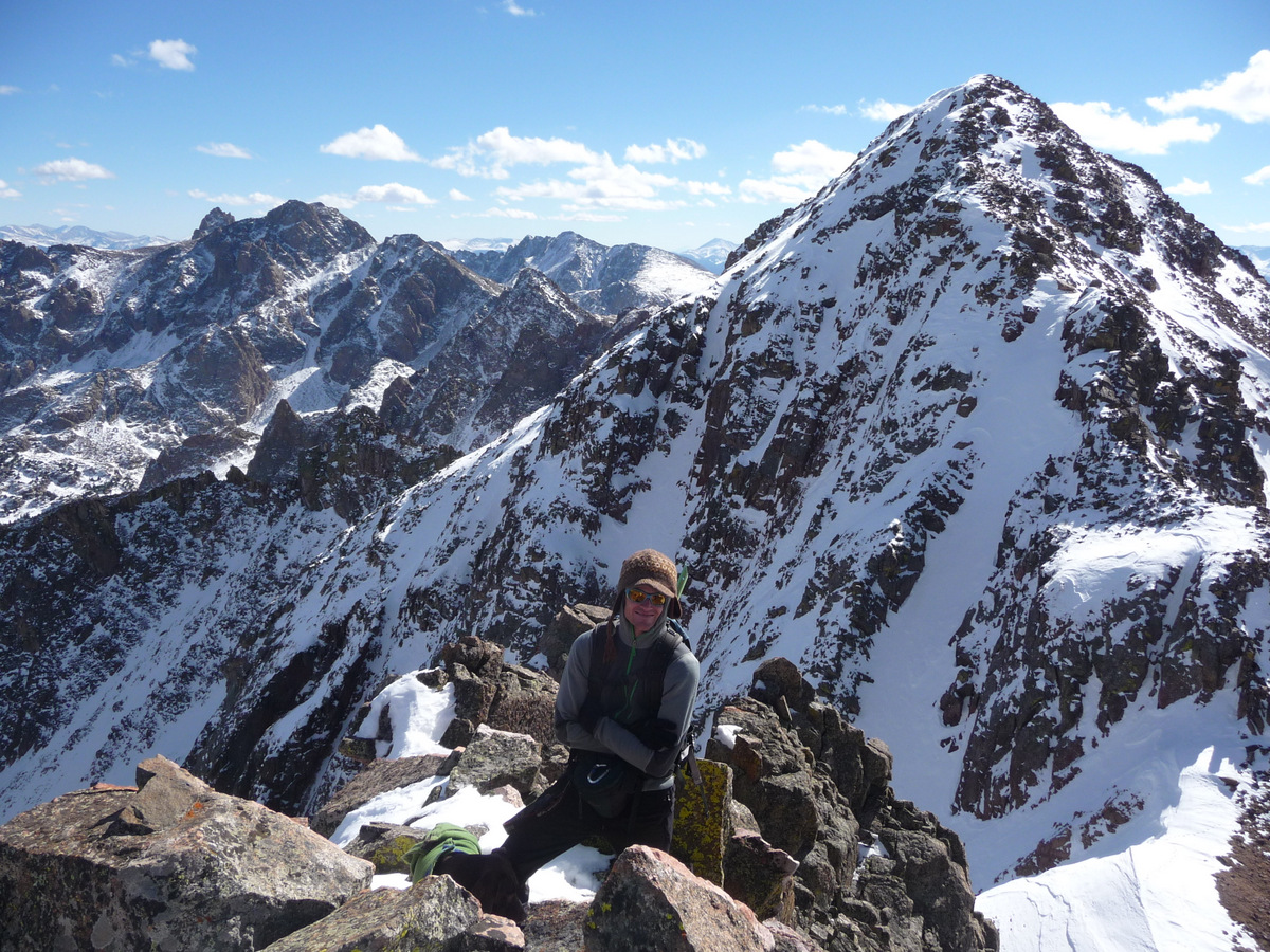
Kona & I on the summit of Palomino Point with Mt. Valhalla behind. Photo courtesy of Jason
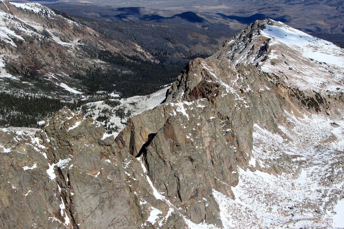
One of the reasons I really wanted to get up on Palomino Point & Mt. Valhalla was to scope out and take pictures of the two awesome looking yet rarely known east ridges of these peaks. The very lengthy east ridge of Palomino Point is known as “Asgard Ridge” with the first major tower called “Point Odin”. Its a pretty serious-looking ridge that would likely entail some roped pitches and rappels. Now, if you like Norse mythology as I do, you’ll love all of these names. The shorter, more southern east ridge of Mt. Valhalla is not as gnarly looking but has a few mid-5th class towers with the names “Loki”, “Thor”, & “Freya”. I just love ridges like these with not much information on them at all, though I know they have been climbed. I think such ridges are about as close to true adventure as we can get in our neck of the woods, especially on ridge runs. The ridge and tower names make it extra-intriguing. I really look forward to hopefully putting these ridges and towers on my radar in the future.
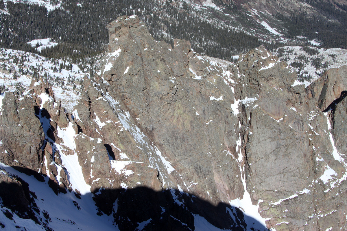
Asgard Ridge down to the east from Palomino Point’s summit
The east ridge of Mt. Valhalla (Thor Tower & Freya on the lower left portion of the ridge) and mighty Rain Peak behind
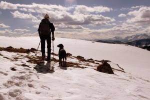
Palomino’s summit can only accommodate a few folks, so Kristine, Kona, Mike, myself, and the Blythes returned back down to the saddle with Mt. Valhalla. The ridge up to Valhalla looked a bit intimidating for Kona, so Kristine decided to go down with her. Mike decided to descend as well since he wasn’t feeling all that great and his feet were soaked.

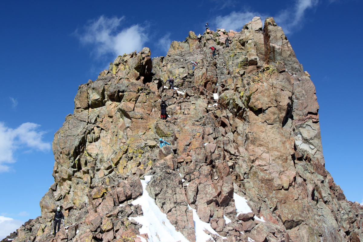
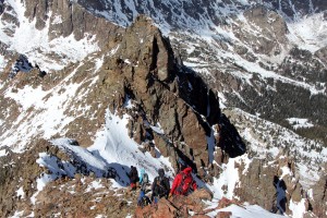
The crew spread out on Palomino Point…Dillon is on the summit
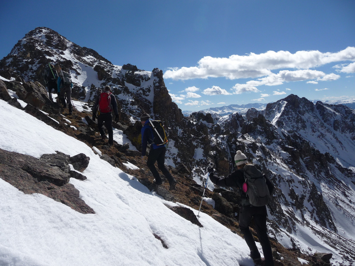
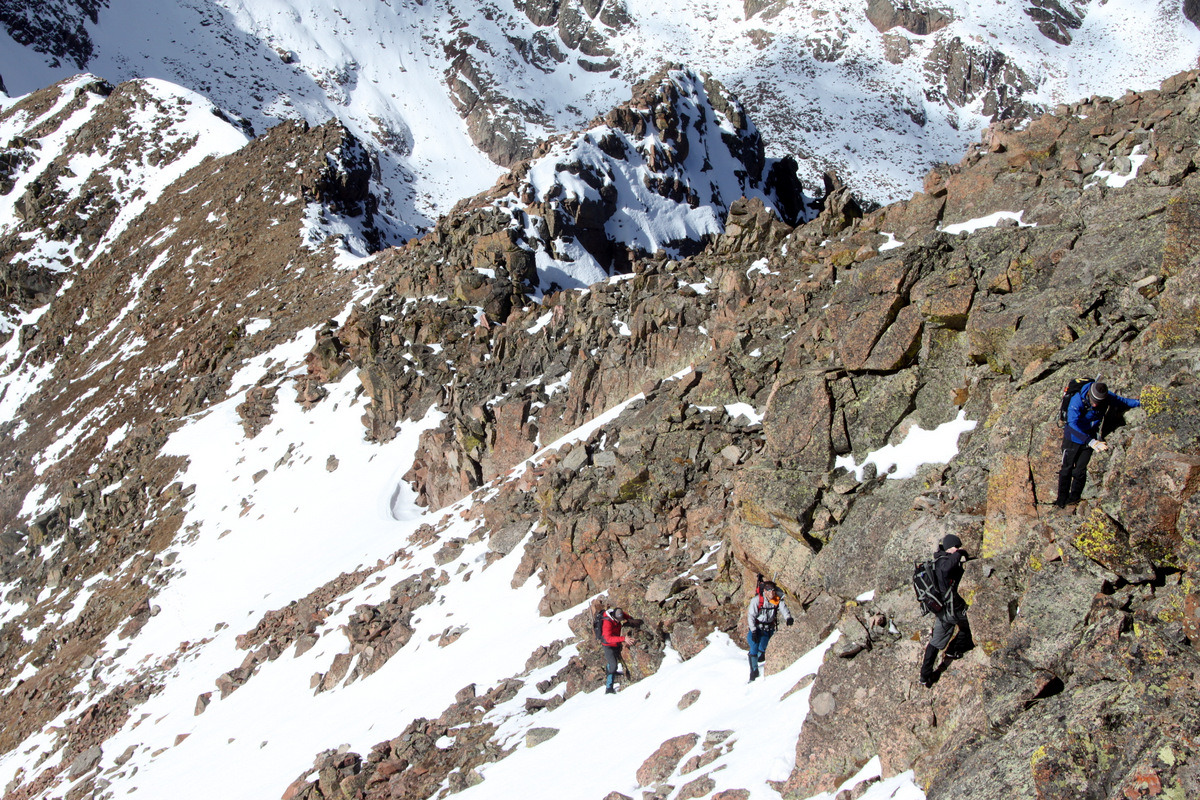
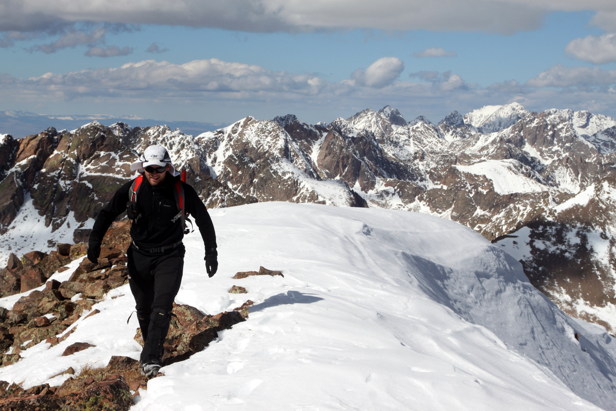
The crew then descended down to the saddle and Jason & Becky led the way up Valhalla’s fun class 3 northwest ridge.
Jason, Becky, & Sam heading up Valhalla’s northwest ridge
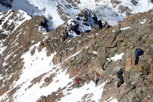
The climb up to Valhalla was lots of fun with some snowy scrambling yet none of us broke out the axes as there was enough rock exposed for some good holds. I believe we all summited Valhalla around 12:30pm to some wonderful blue skies and sunshine though a bit of a stiff wind.

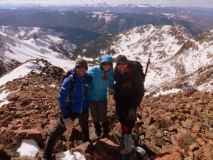
Gore enthusiast Ryan on the summit of Mt. Valhalla (13,180′), his 200th Colorado 13er
The views were amazing, as is typical for the Gores, and this was many folks’ first Gore peak, which made this outing extra special. I think some of the climbers may have gotten hooked to the Gores.

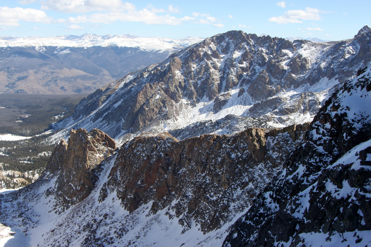
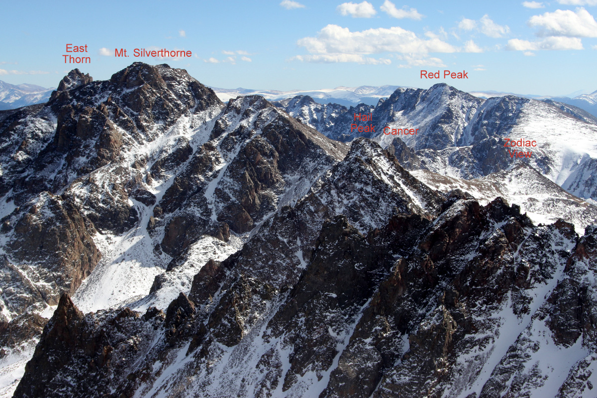
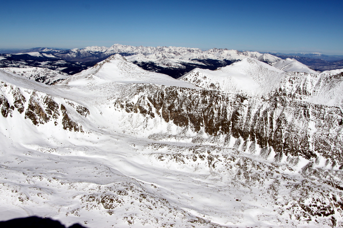
From the summit of Mt. Valhalla looking southeast
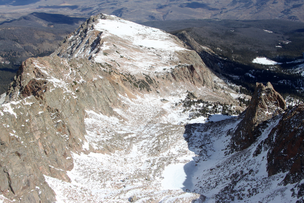
Looking down into Valhalla’s east basin with Asgard Ridge on the left and Valhalla’s east ridge on the right

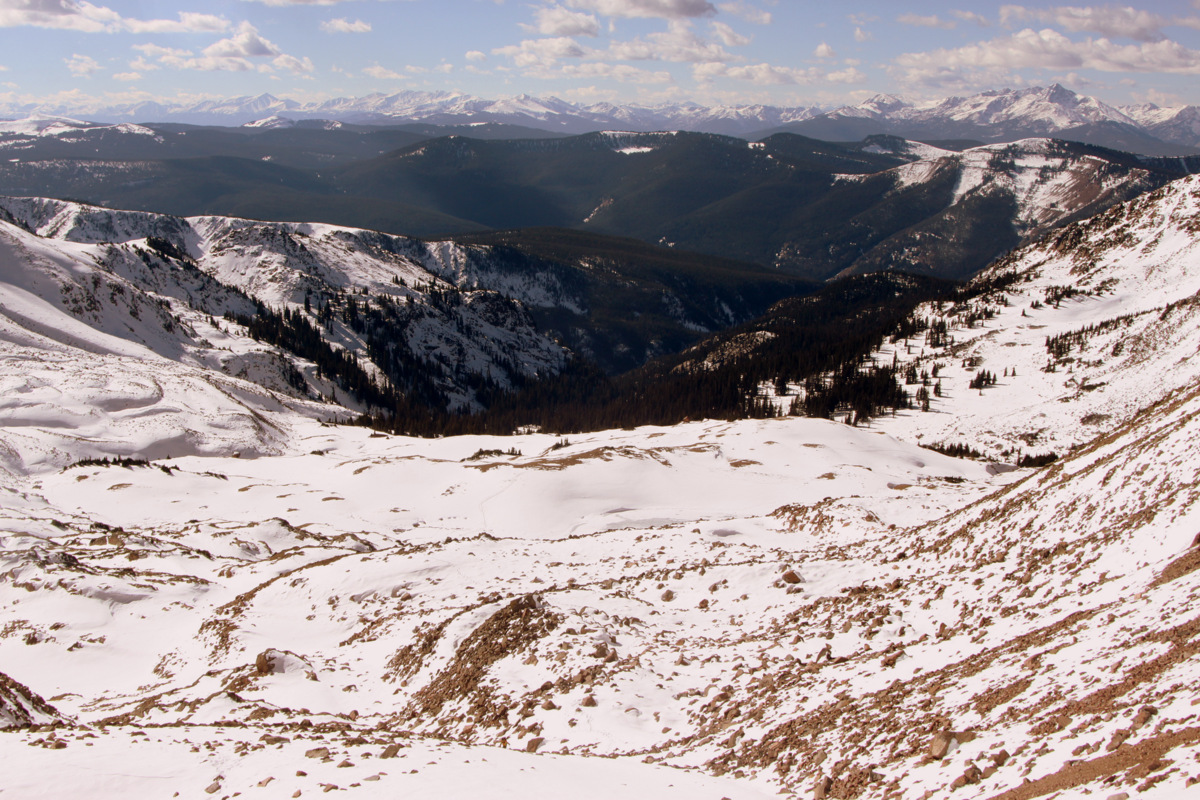
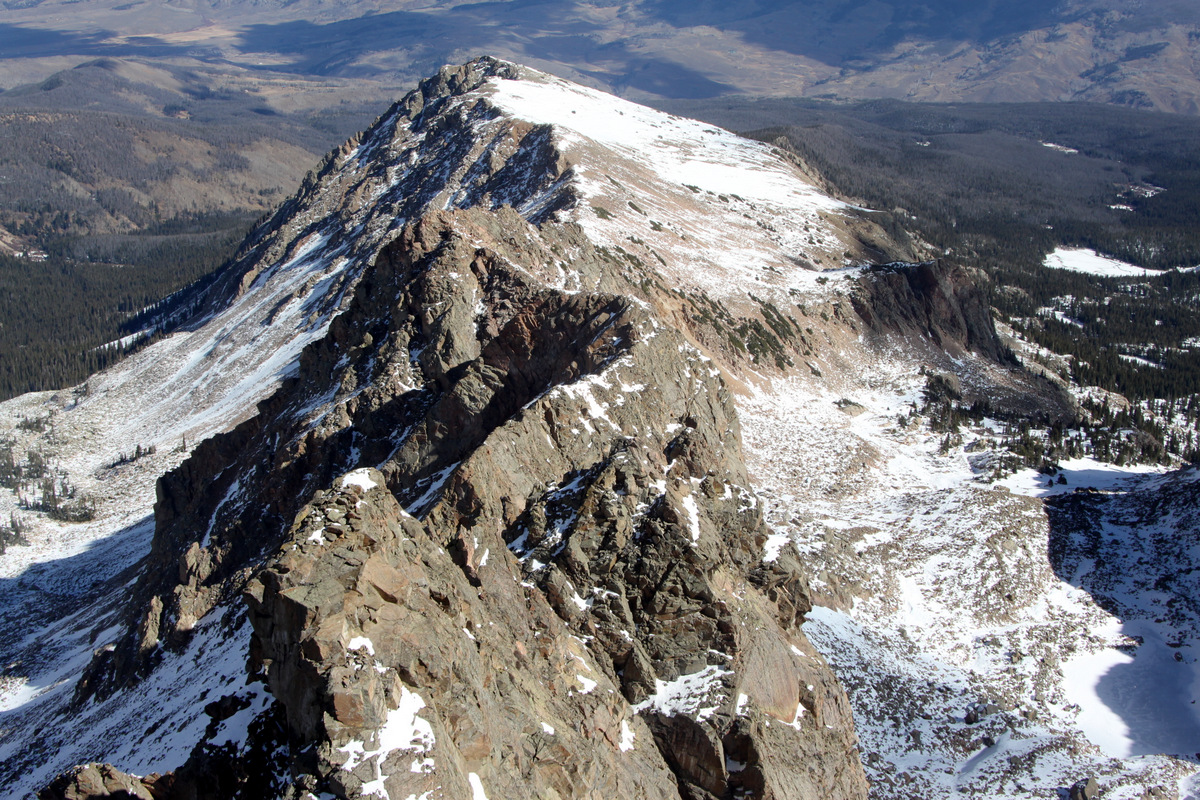
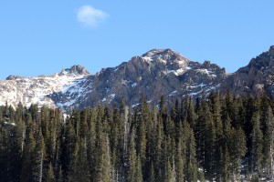
Snow Peak (13,024′) to the south from the Mt. Valhalla summit
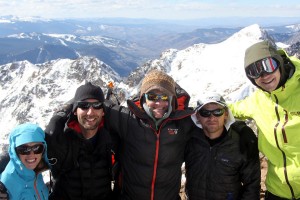
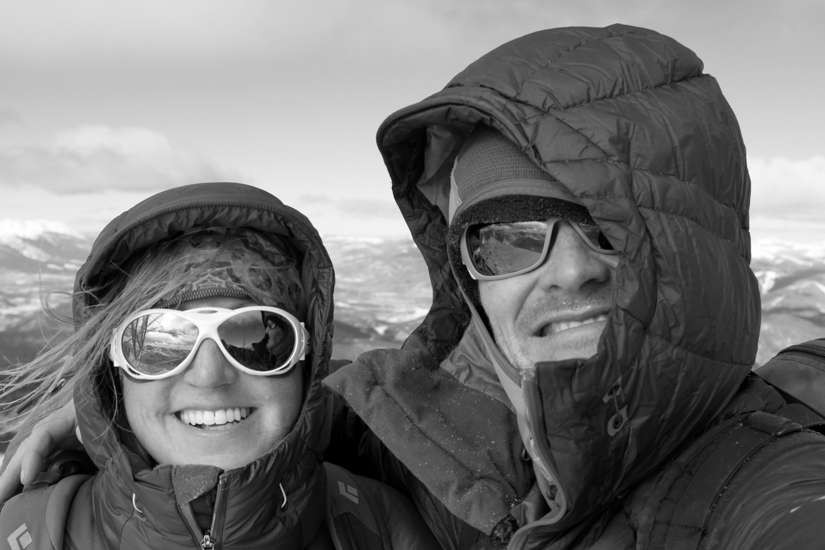
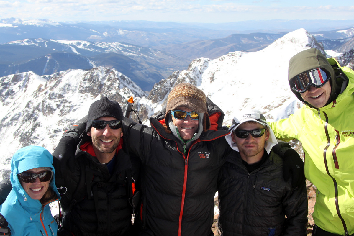
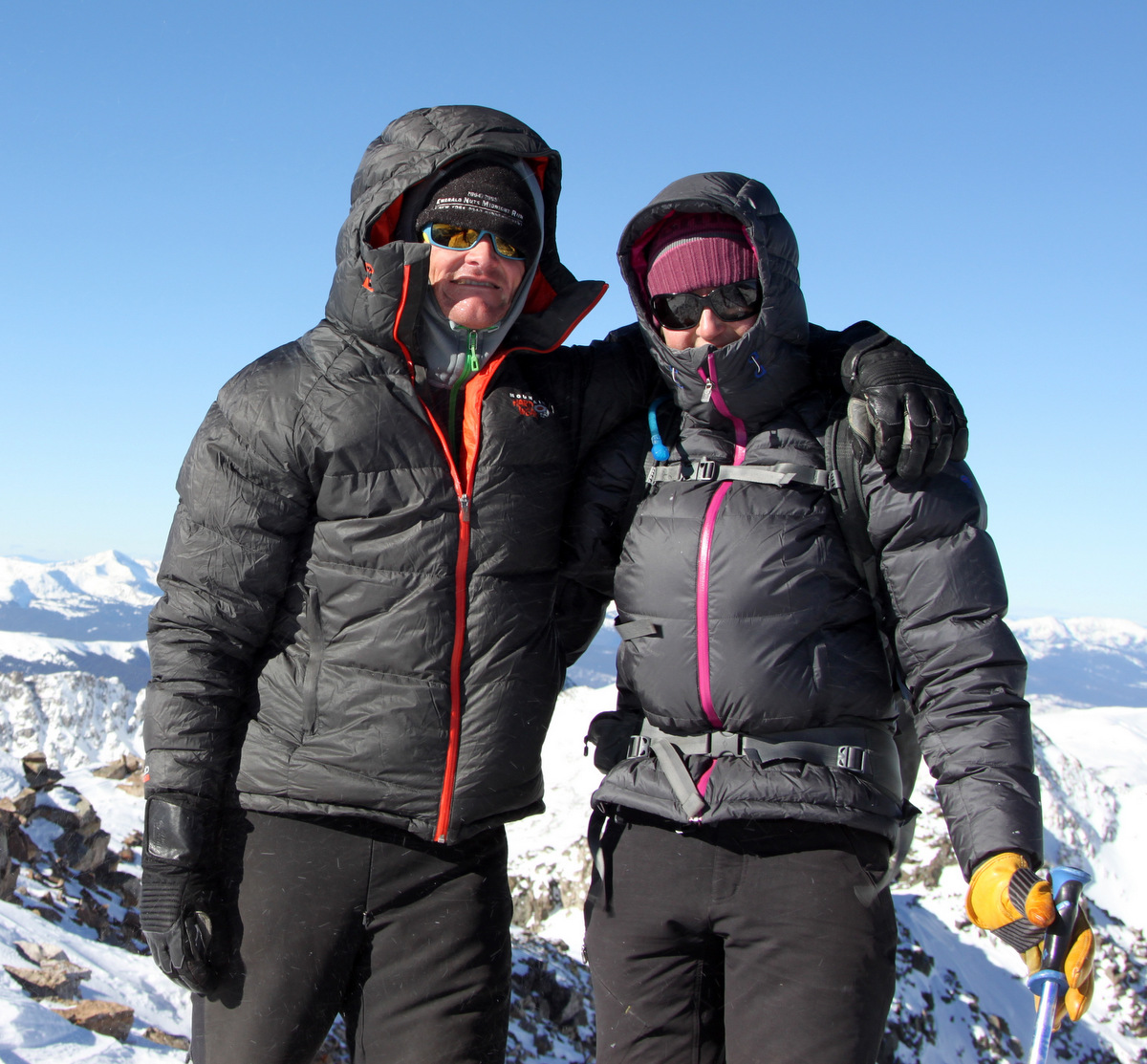
Left to right: Becky, Jason, me, Ryan, Sam on the summit of Mt. Valhalla (13,180′)
Left to right: Dillon, Becky, & Jason on the summit of Mt. Valhalla (13,180′). Photo courtesy of Dillon
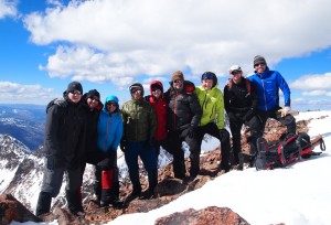
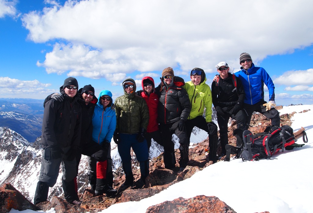
Group summit shot on Mt. Valhalla (13,180′). Photo courtesy of Dillon
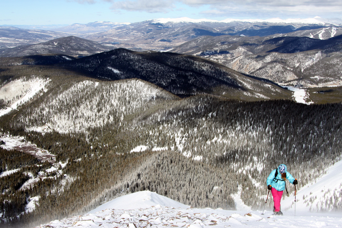
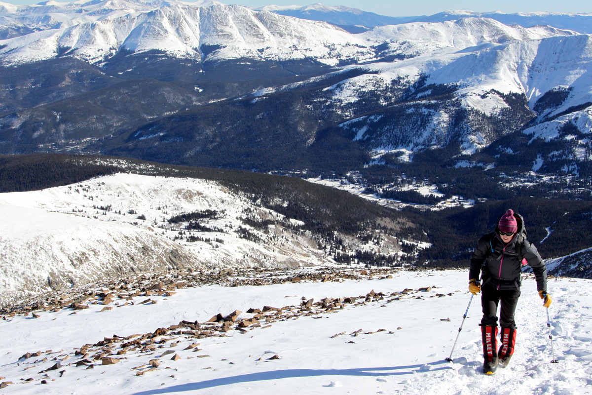
After many pics, a bite to eat, and talk of many future Gore adventures we all descended back to the saddle and then made a diagonal traverse across several snowfields to the lower grass slopes.

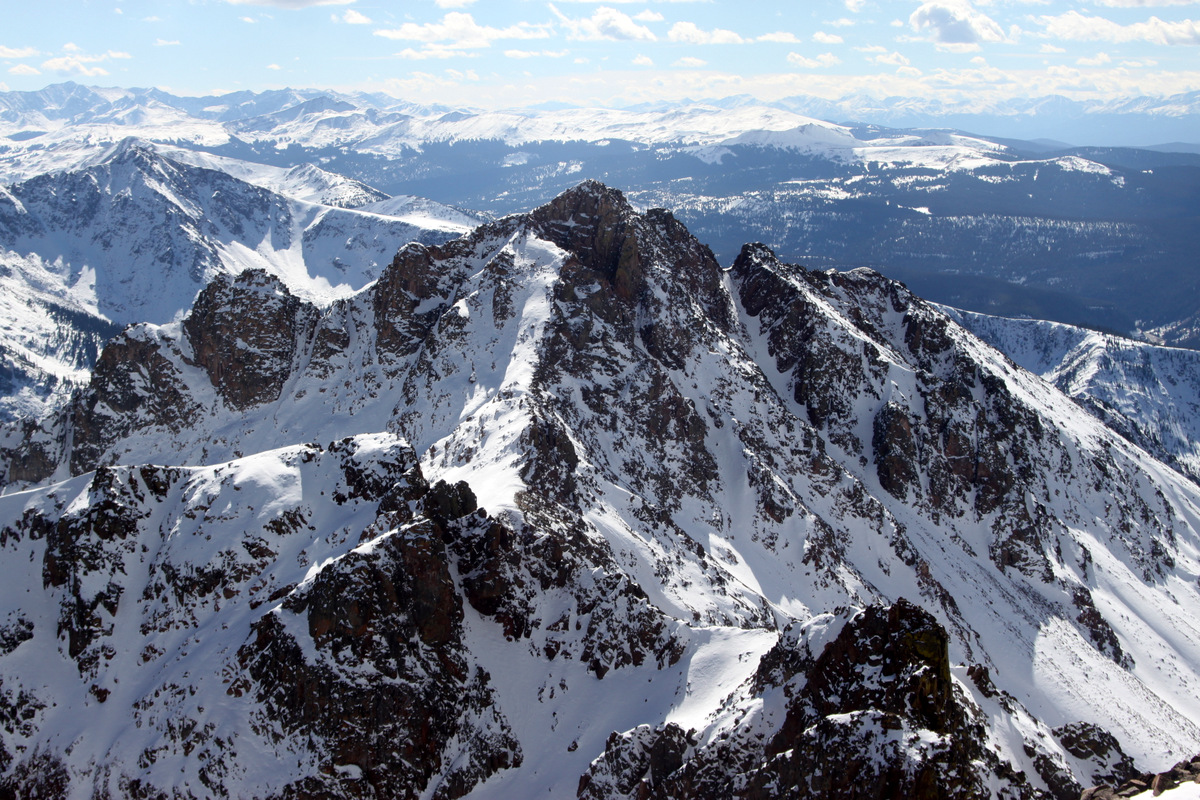
The Grand Traverse as seen from the east on the slopes of Mt. Valhalla
The crew heading down Mt. Valhalla’s northwest ridge

Sorry, more pics of Asgard Ridge 🙂

Point Odin on Asgard Ridge
Becky and crew heading down the snowfields below Palomino Point. Photo courtesy of Jason
We met up with Kristine & Kona back in the basin above Deluge Lake and then all descended back to the trailhead by 4:15pm for about an 8.5 hour day.

Sam & Matt in the Deluge Lake basin below Palomino Point & Mt. Valhalla on the way out
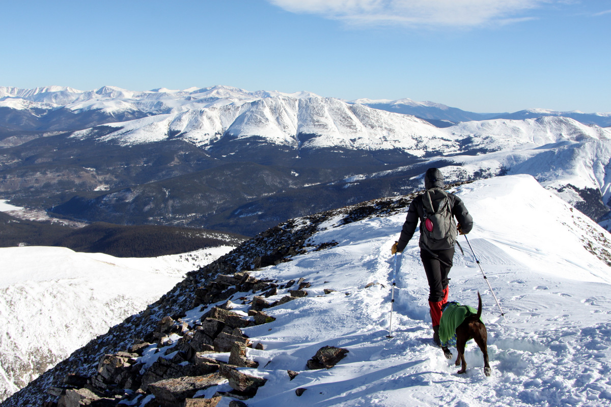
The long way home – Kristine & Kona heading down from Deluge Lake in the afternoon sun
Lastly, we picked up Rainier and headed home just in time to catch the 4th quarter of the Broncos beating up the Redskins. Good stuff. Another great day out in the Gores with great folks. There really is no other place I’d rather be.

 Follow