Jacque Peak
Jacque Peak has played hard to get for me this winter. My first attempt was thwarted by Copper Mountain ski patrol back in February. More on that escapade here. Nonetheless, that day back in February turned out to be a fun day with me snowshoeing up to the summit of Copper Mountain just outside the ski resort boundary and taking in the views. Ski patrol turning us around was probably a blessing in disguise as we were just intent on snowshoeing up Jacque’s northeast ridge and not skiing. Without that bit of rejection, I doubt I would have wanted to go back to the peak much less put in the effort for a ski descent. However, Jacque is a beautiful, pyramidal 13er that marks the southern terminus of the Gore Range (if you consider Jacque a part of the Gores) with a perfect looking east face just begging to be skied.
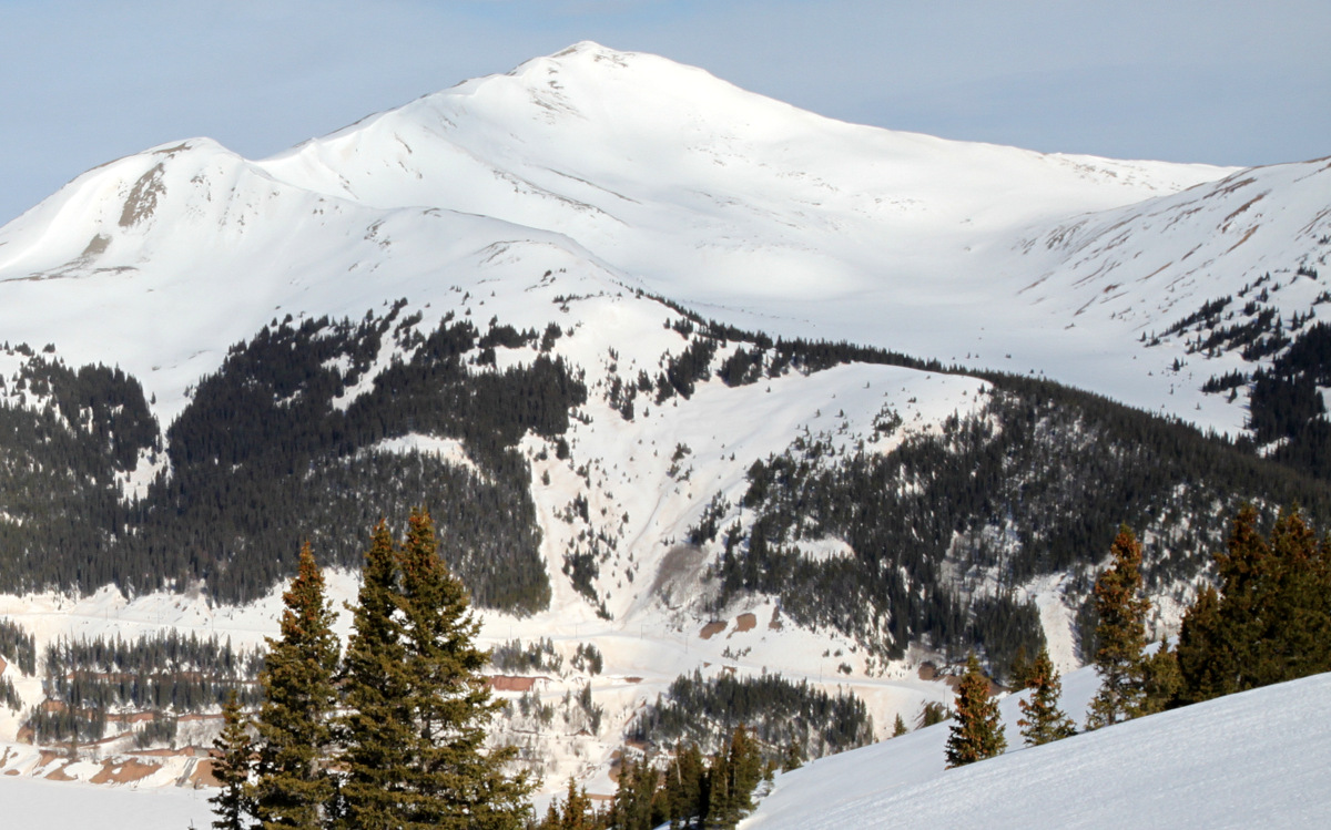
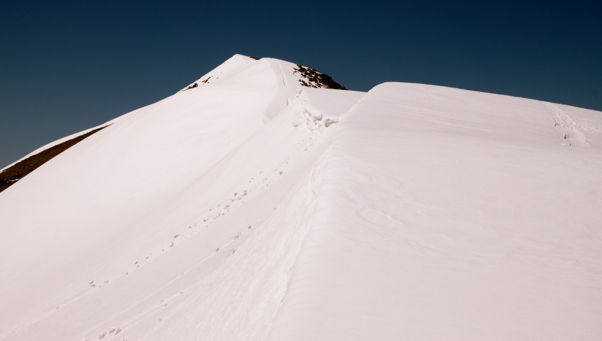
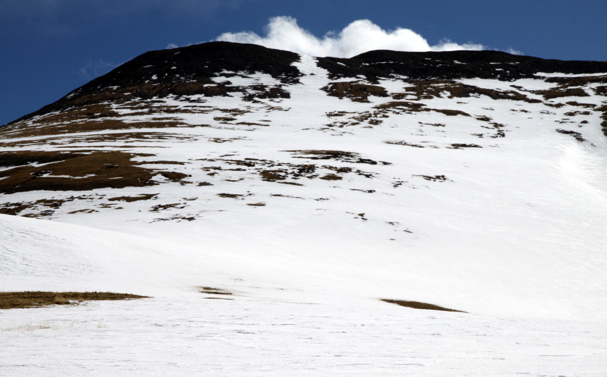
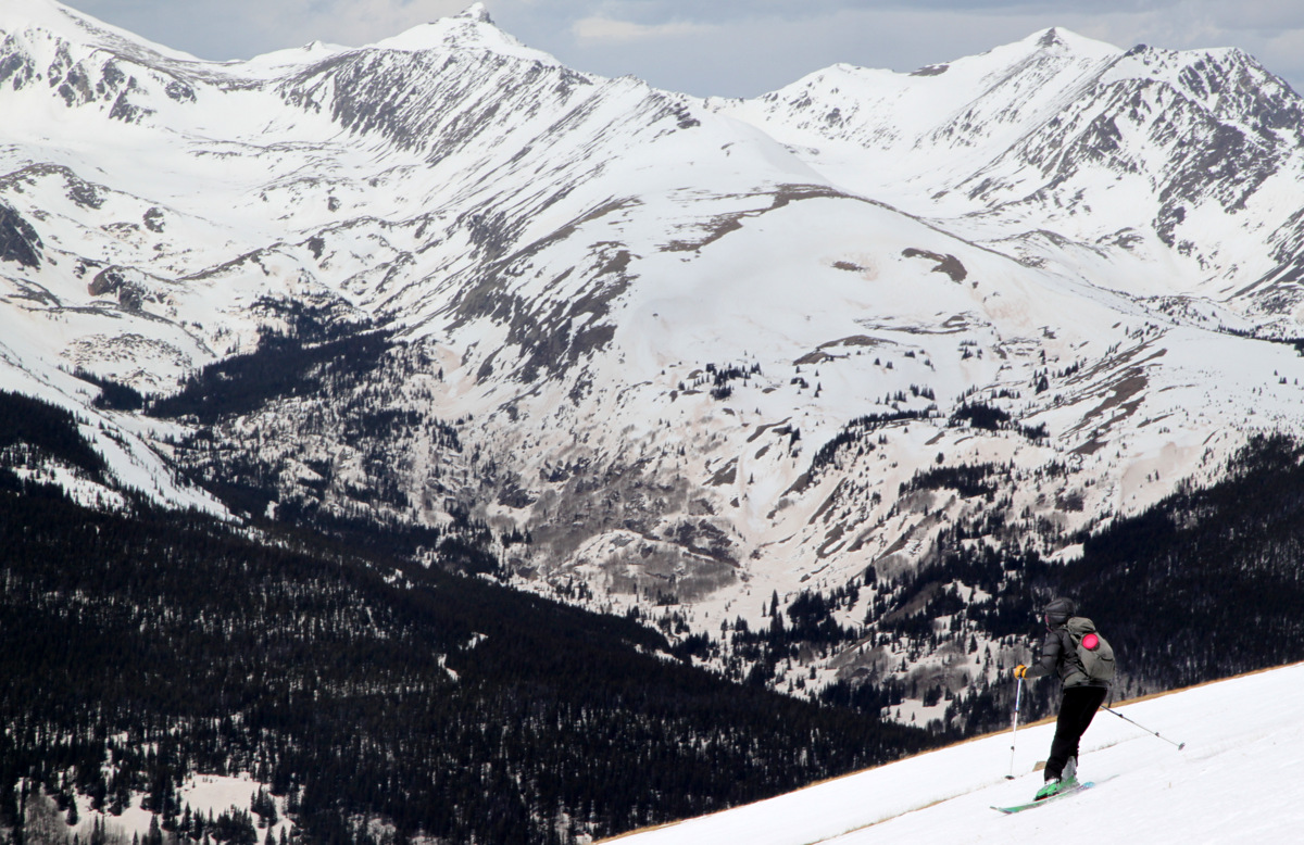
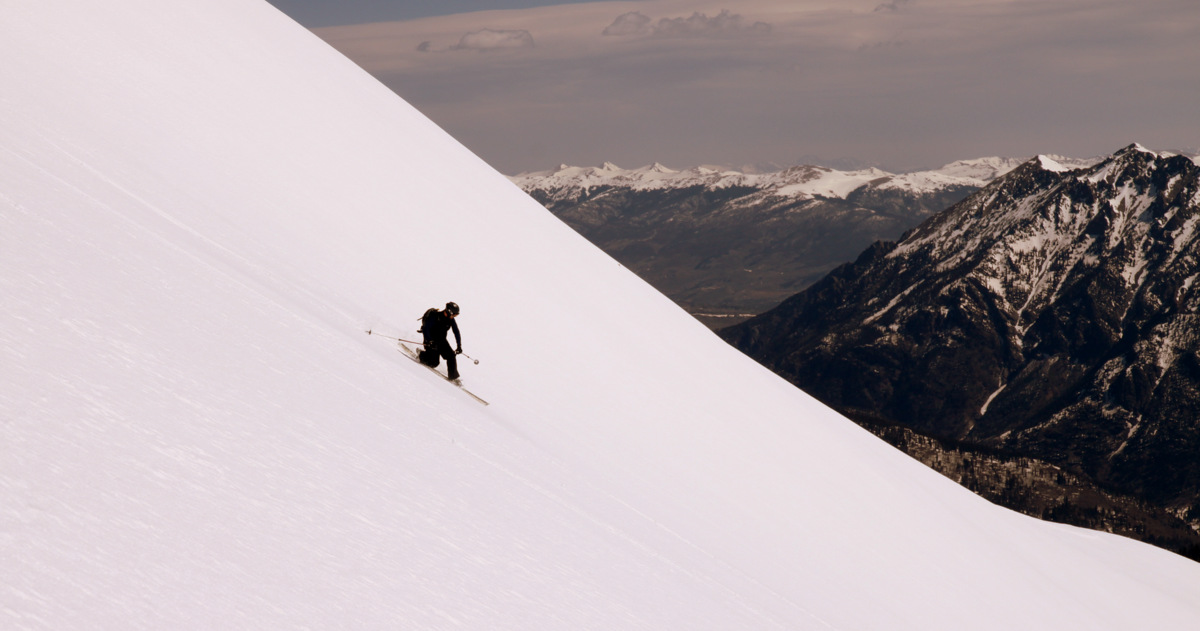
Jacque’s east face looking fine as seen from across Highway 91 on Mayflower Hill in mid-April
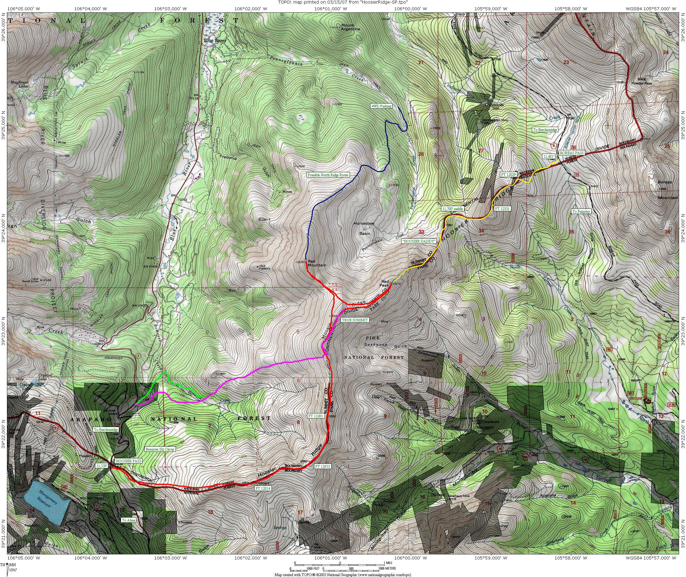
With a nice looking forecast for a mid-week skin and ski of Jacque hopefully allowing us some fine corn, I rallied some of my fellow engineer buds and we made our way to the north gate of the Climax Mine off Highway 91 just south of Copper where I had parked before back in February. Little did I know that the authorities at hand would again attempt to thwart our fun plans for the day only this time it was Climax Mine itself and its security forces. We parked on what we later determined was actually public property just yards before the entrance to Climax Mine only to be told to park across Highway 91 by the Lonestar Security rent-a-cop fellow as we would be parking on private land. We told the fellow we were heading up into the Copper Creek drainage from which the rent-a-cop vaguely arm-waved the area in which we should stay in order to avoid crossing the Mine’s property. I explained that I had been here before and accessed the drainage just fine without any issue as hundreds of others have over the years not to mention countless Copper Mountain skiers skiing down to 91 during ski season. He kept to his extremely vague arm-waving of “stay in this general area” scheme. We parked our cars across 91, the rent-a-cop went back to his booth, and we motored on up the Copper Creek drainage on skins keeping to the side hill as far out of the way of the Climax Mine area as was reasonably possible. We found the tape markings on the trees up the drainage (which helps skiers skiing out from Copper during the winter find their way down to Highway 91) and made it up to the ski resort boundary and continued on up the cat track at the base of Copper’s back bowl lifts.
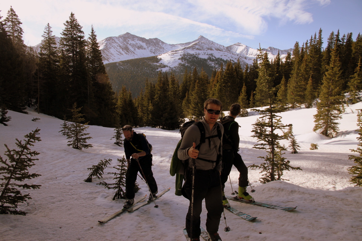
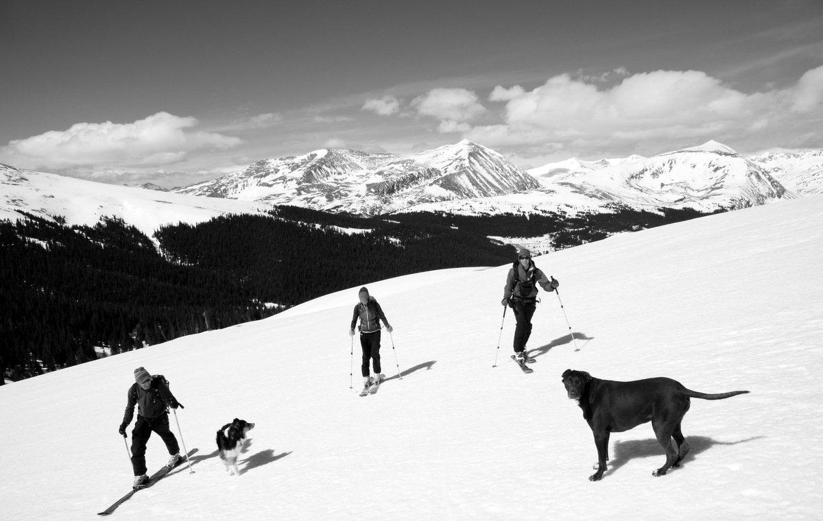
Left to right: Jake, Zac, & Shawn skinning up the Copper Creek drainage with Pacific Peak and the Tenmile Range behind

Jake passing the base of Copper’s Blackjack lift with Peak 9, Peak 10, & Crystal Peak behind
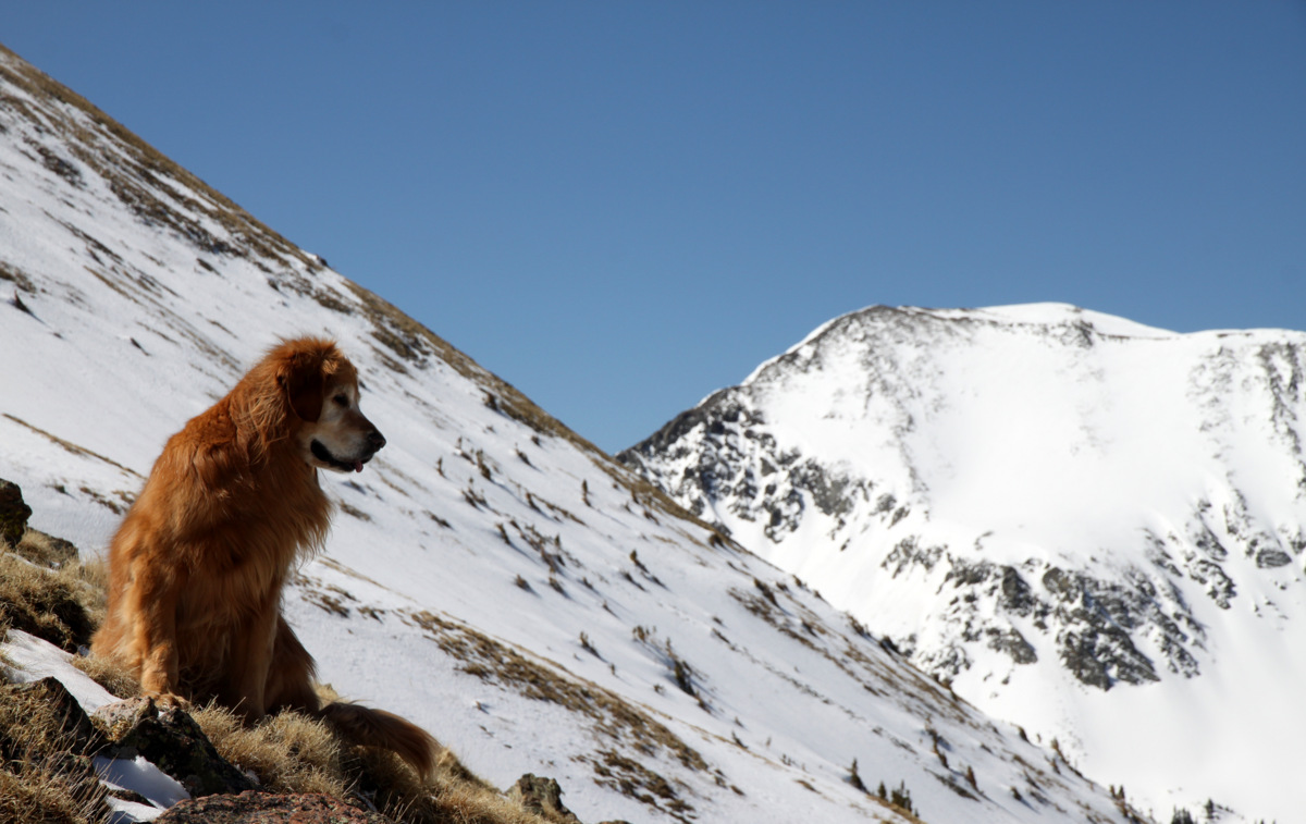
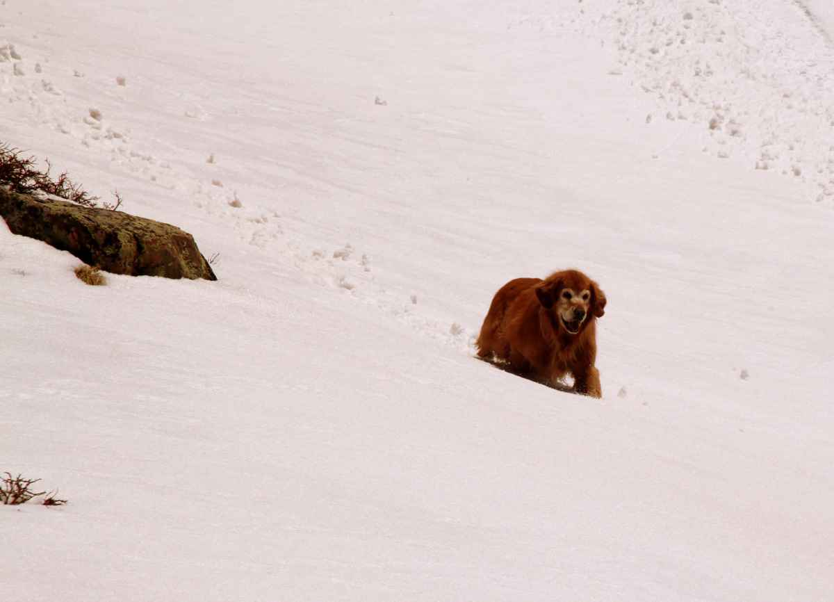
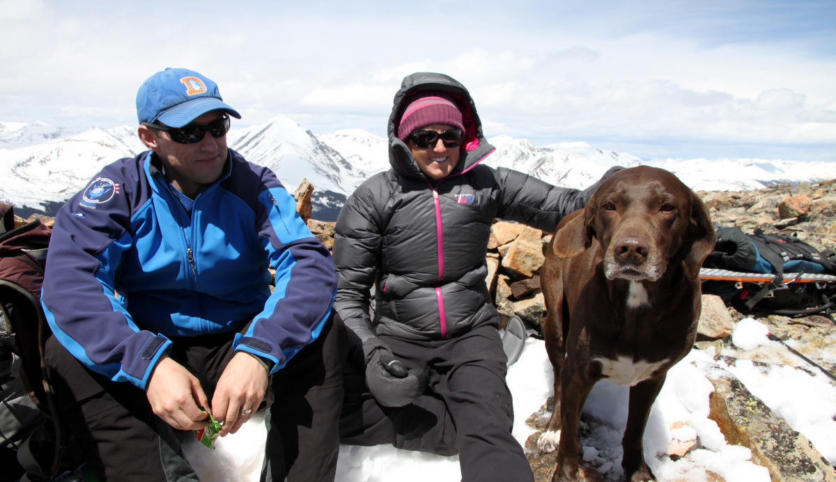
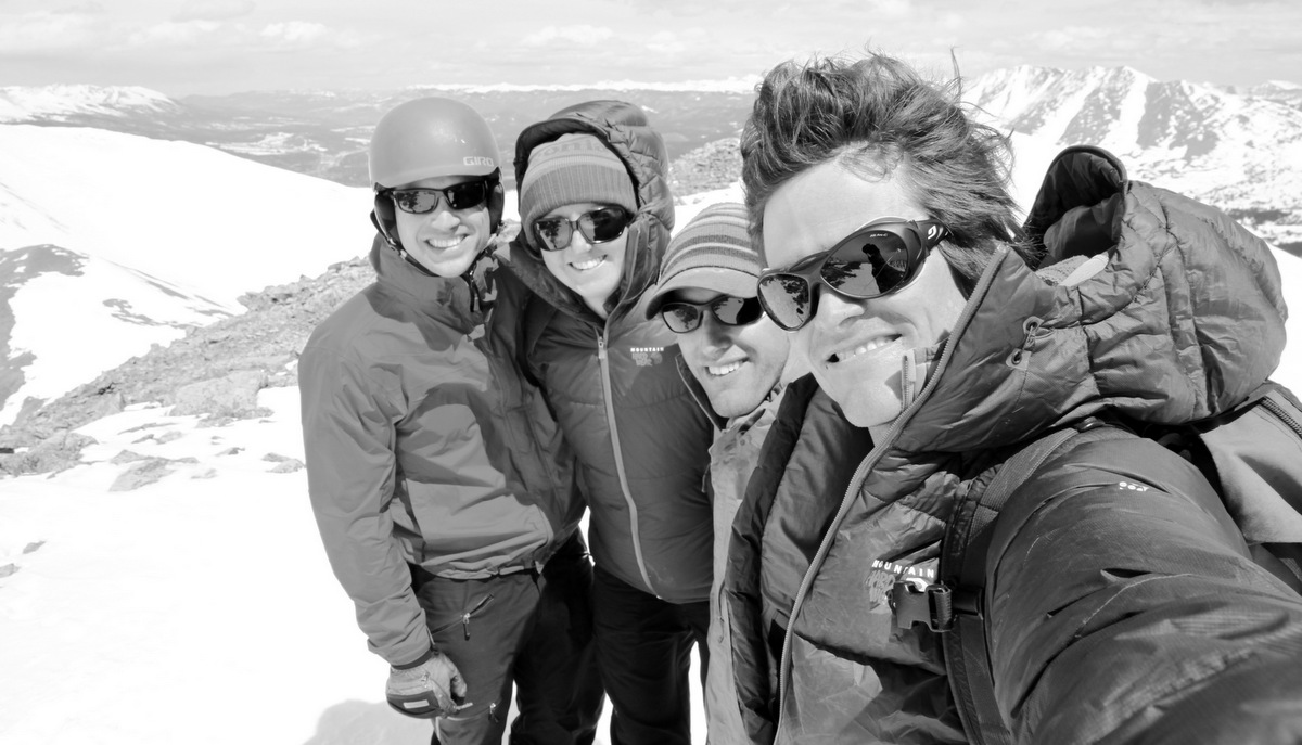
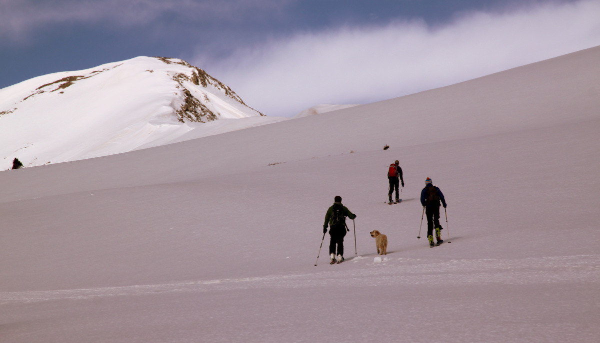
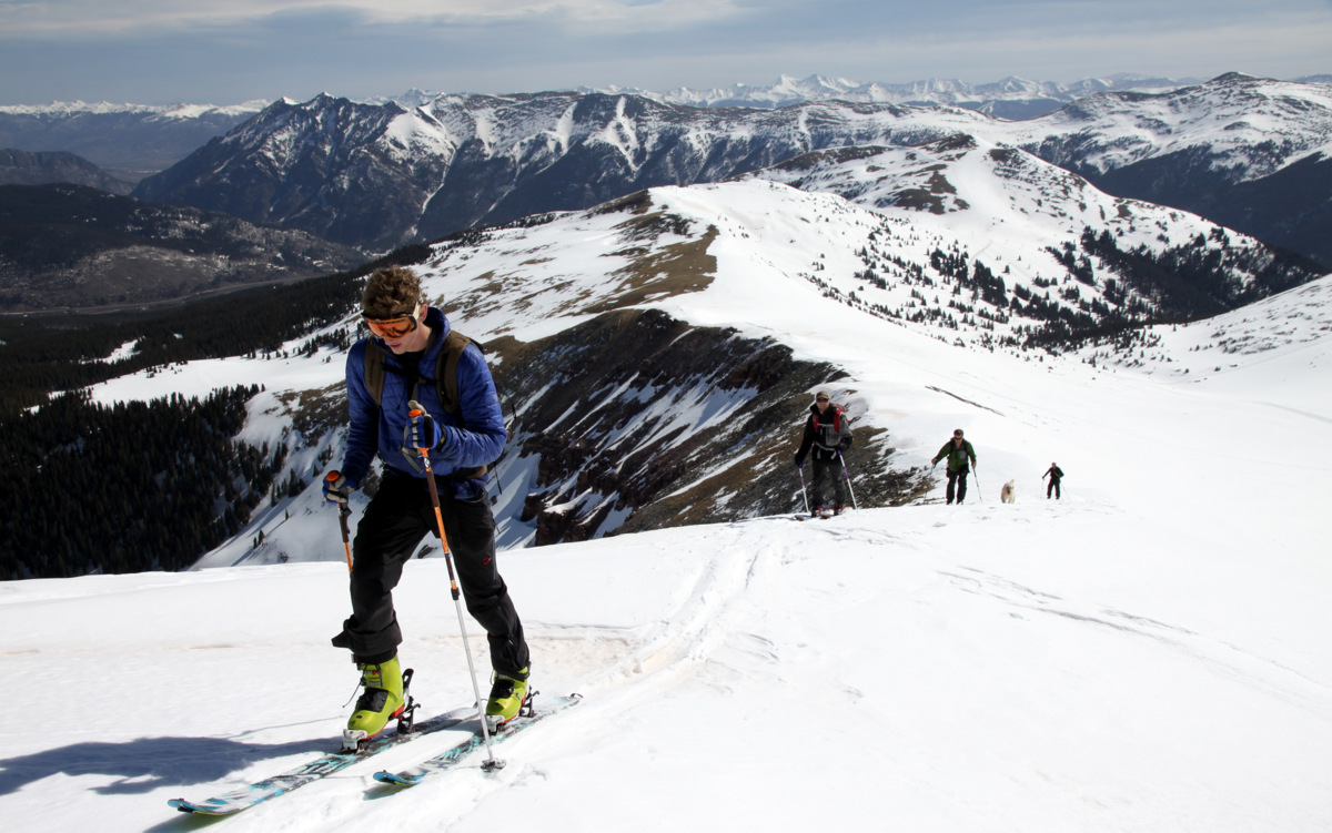
It was a beauty of a day and some high clouds kept the sun from baking the east face too early in the day, which was a good thing for us as we still had a few hours before we reached Jacque’s summit. It was peaceful actually being in the normally busy back bowls of Copper Mountain ski resort with only the five of us and Zac’s pup, Mia.
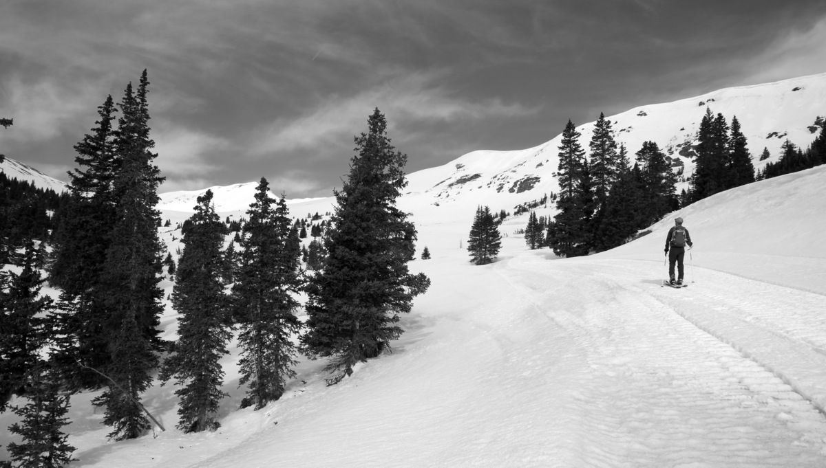
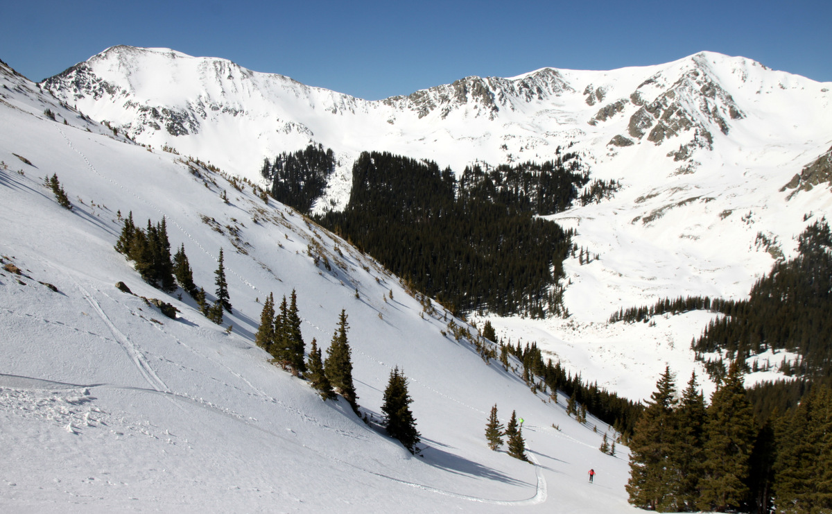
Mikey skinning up the catrack. Jacque looms in the distance left of center
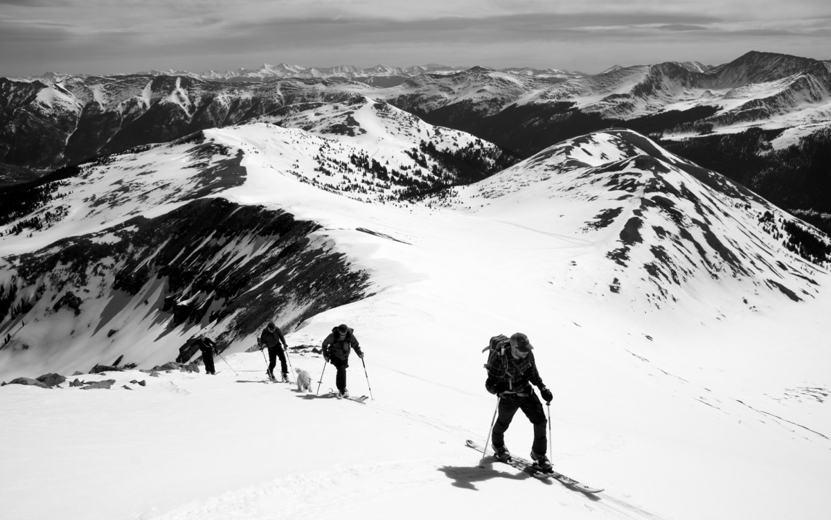
The crew makes their way to the base of Jacque’s northeast ridge

Jake skinning along with Copper Mountain ski resort behind
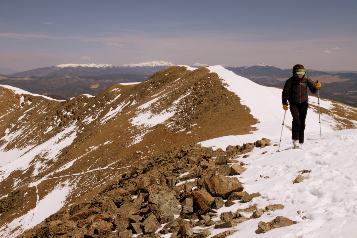
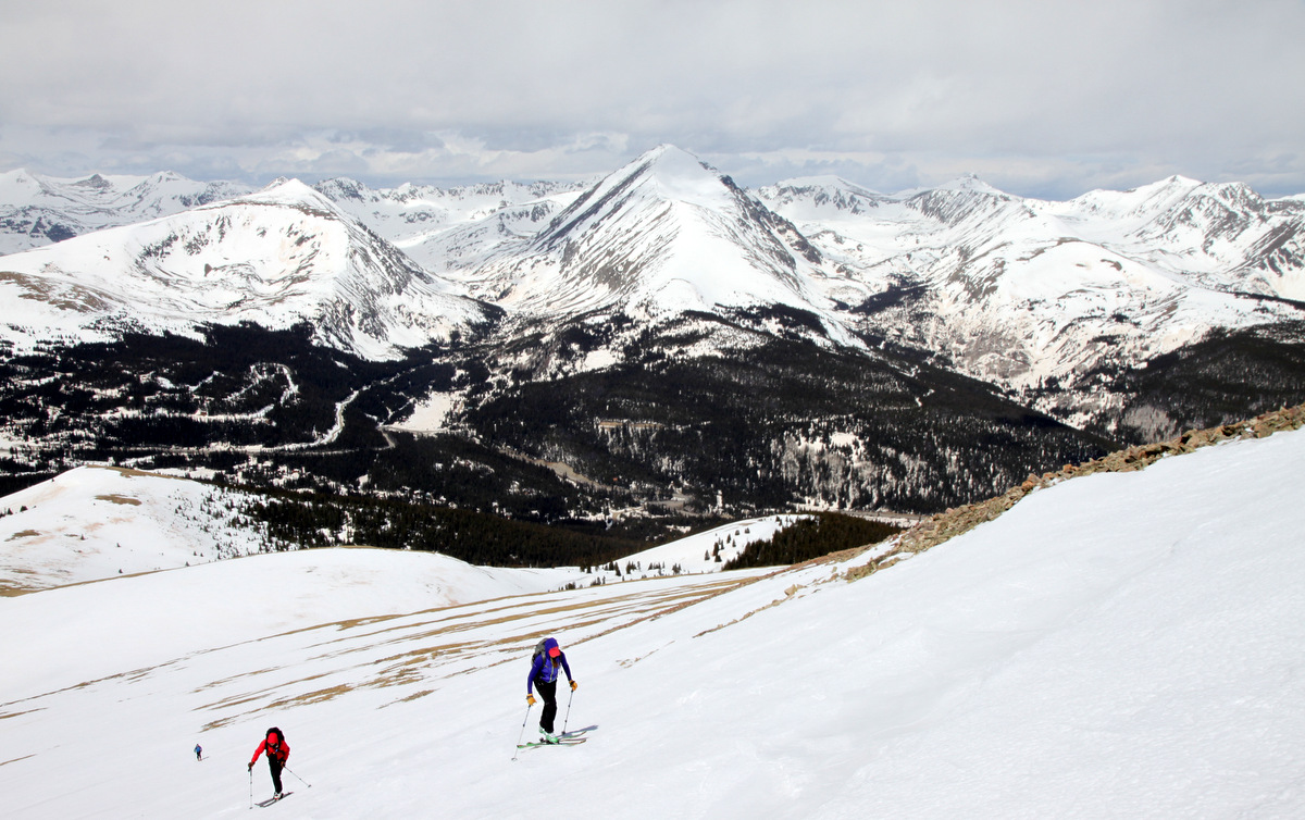
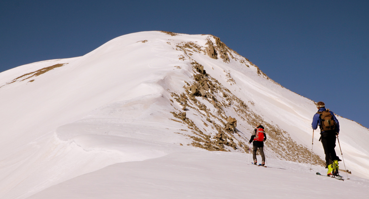
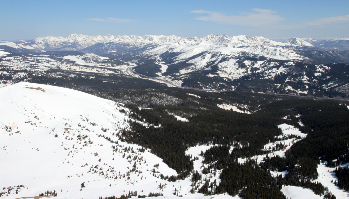
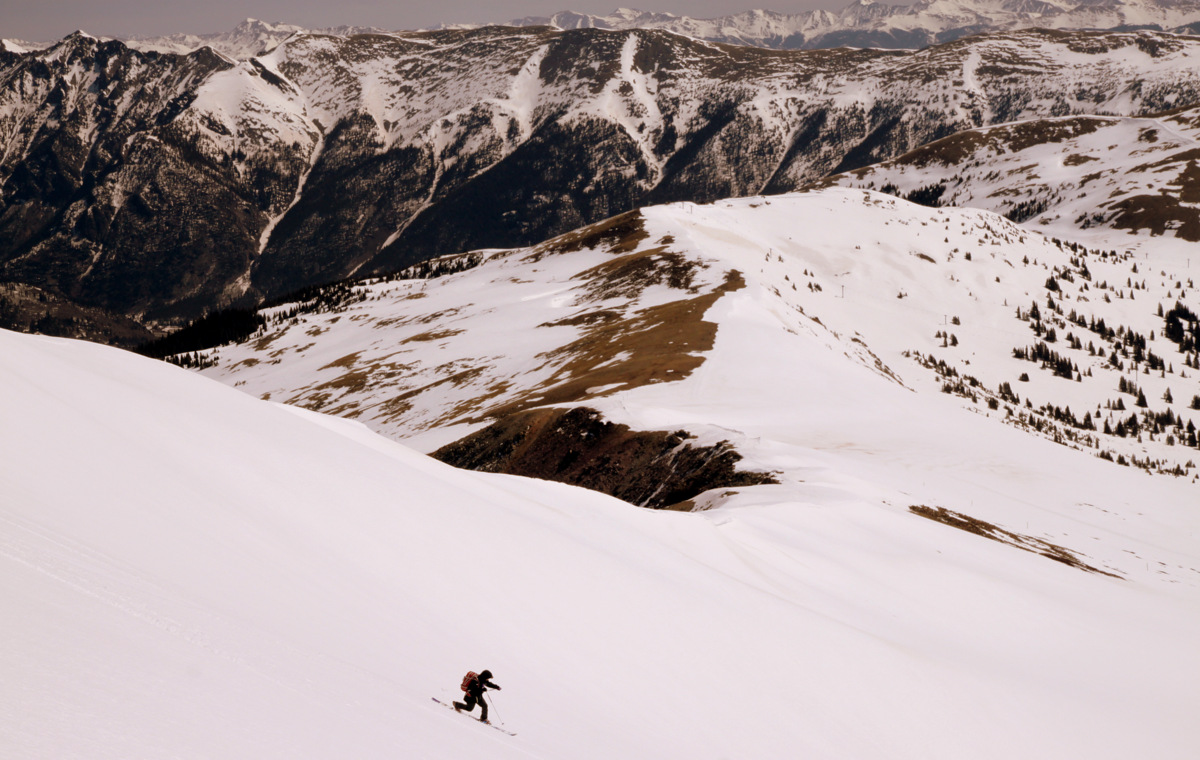
We made good time up to the base of Jacque’s mellow northeast ridge, which afforded great views of the remaining route up Jacque and the surroundings.The route up Jacque’s northeast ridge is completely skinnable and makes for a very nice ski tour.
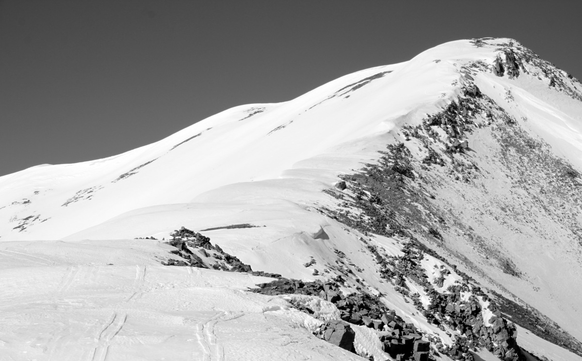
Jacque’s northeast ridge
Mikey skinning up the northeast ridge with the Tenmile Range behind
Shawn and the Gore Range as a beautiful backdrop. Shawn reminded me all day of Dan O’Callahan from Hot Dog: The Movie
Mikey & Shawn skinning up Jacque’s s northeast ridge
Making progress, Dan O’Callahan
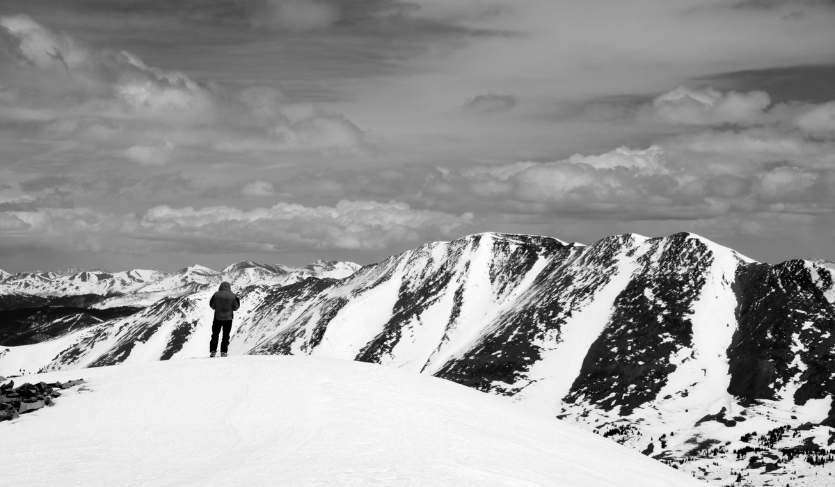
A gorgeous day
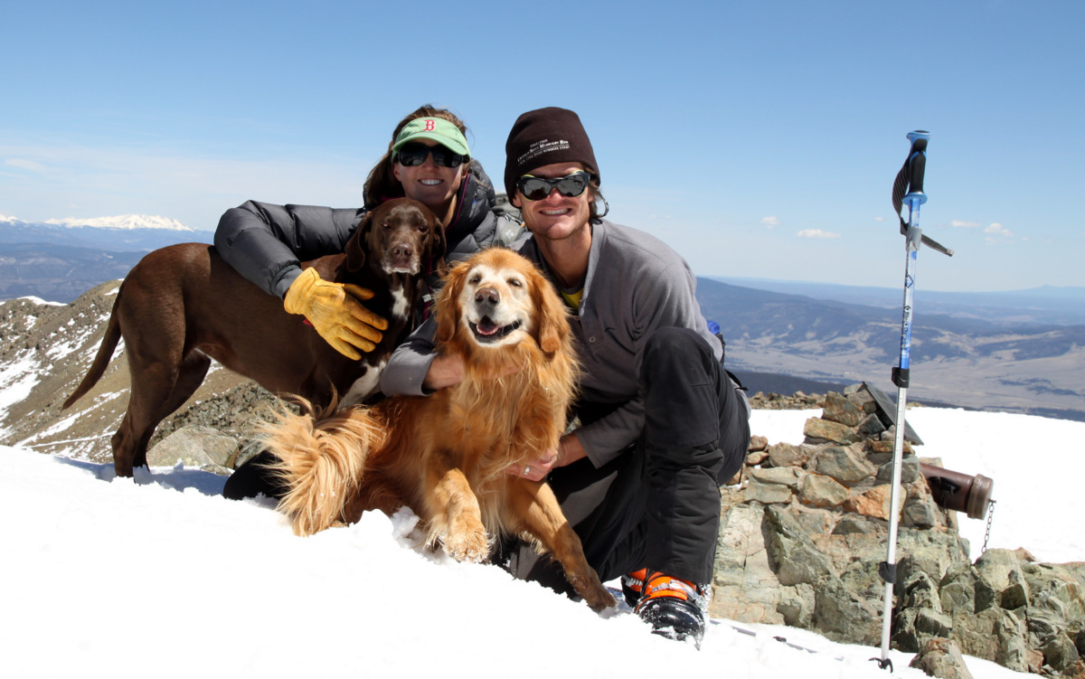
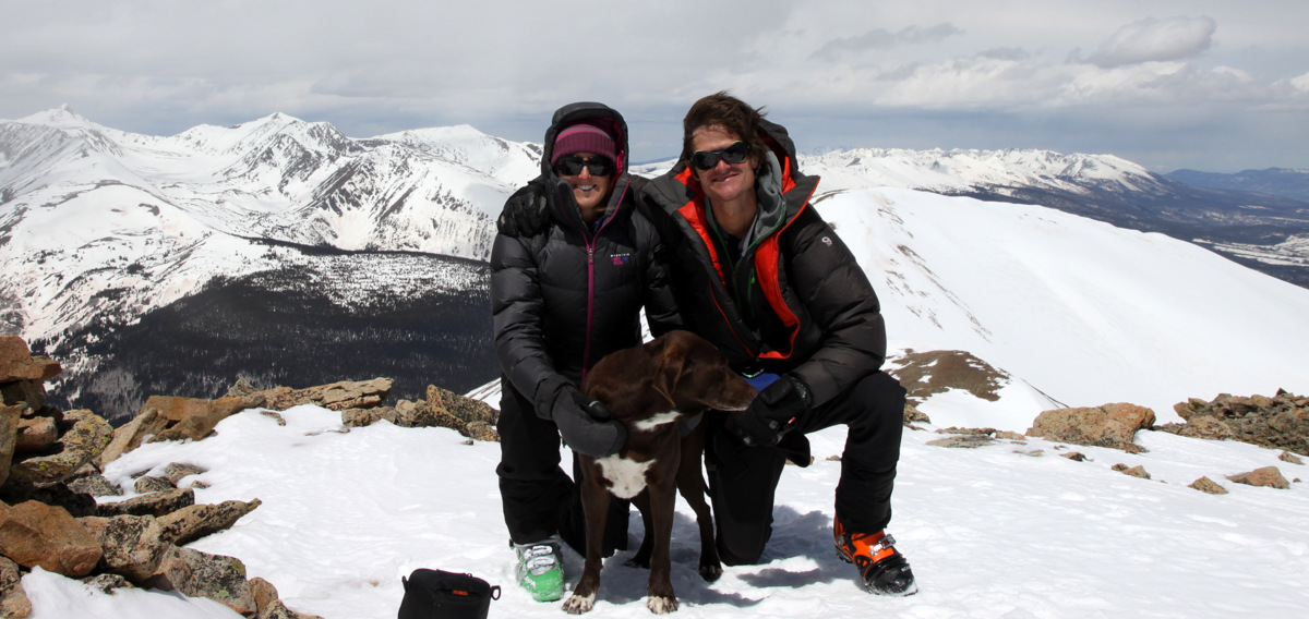
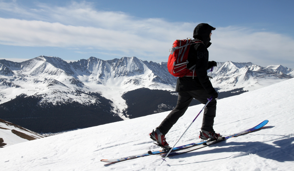
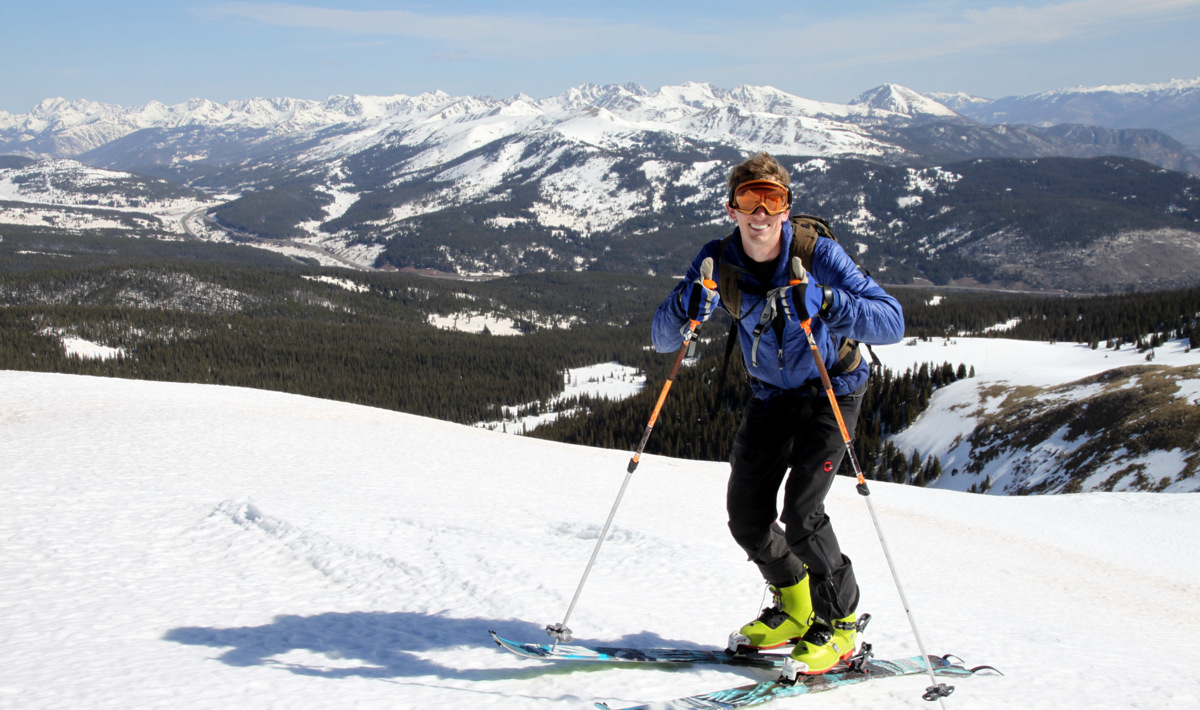
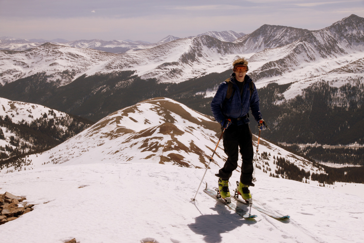
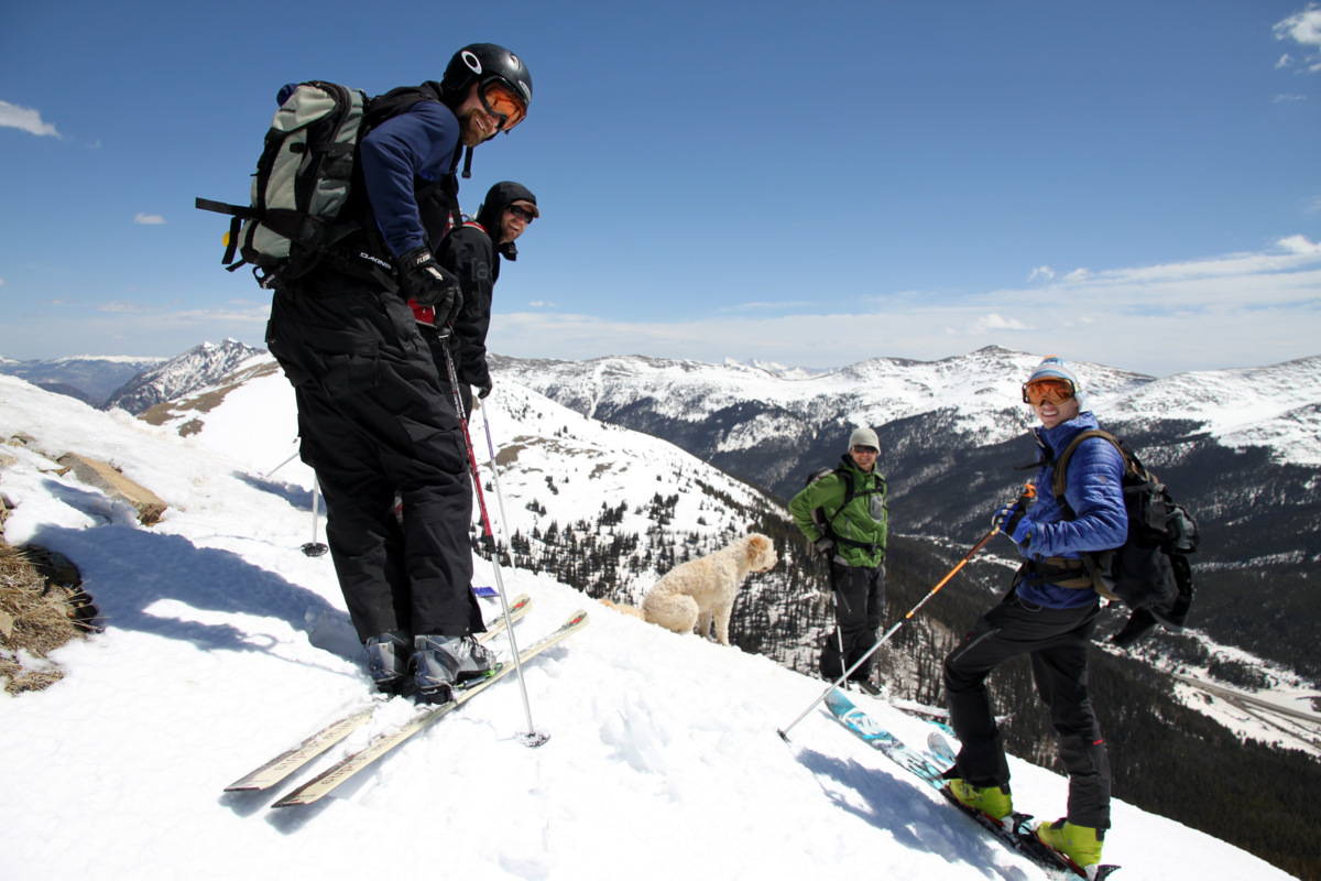
We topped out on Jacque’s summit around 10:15am for about a little over 3 hrs from Highway 91 and our cars. We tested the snow on the east face and it was still a little hard for our liking so we took our time on the summit.
Shawn reaching Jacque’s summit

Jake topping out

Jacque Peak summit (13,205′)
Mt. of the Holy Cross and its Cross Couloir from Jacque’s summit

The 13er Homestake Peak, which we skied in late January, dead center in the picture as seen from Jacque’s summit
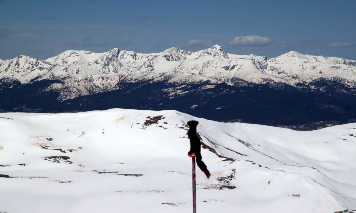
Looking north to the Gores from Jacque’s summit
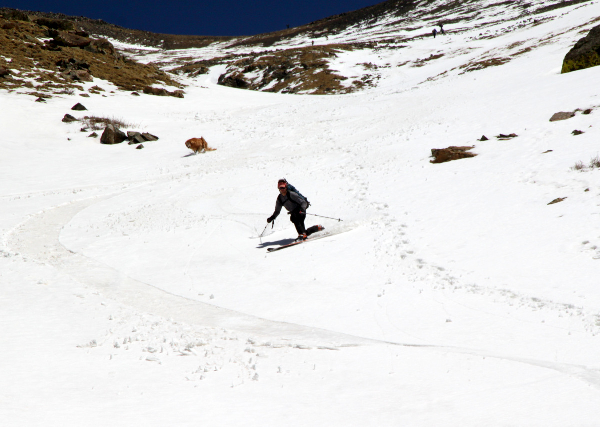
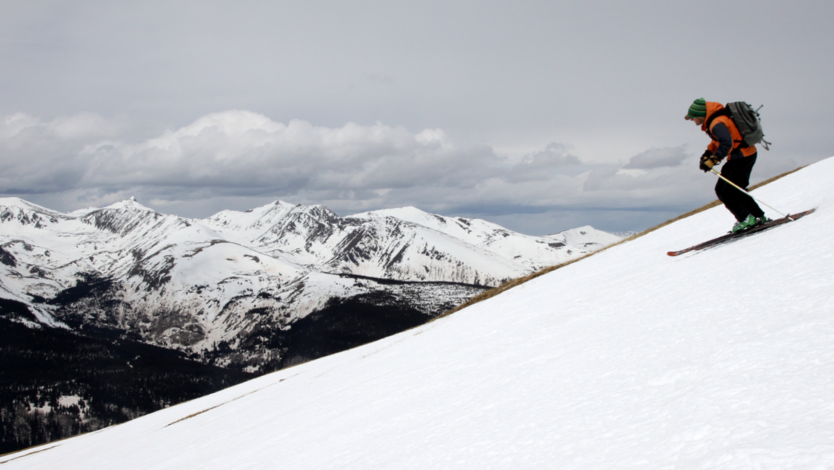
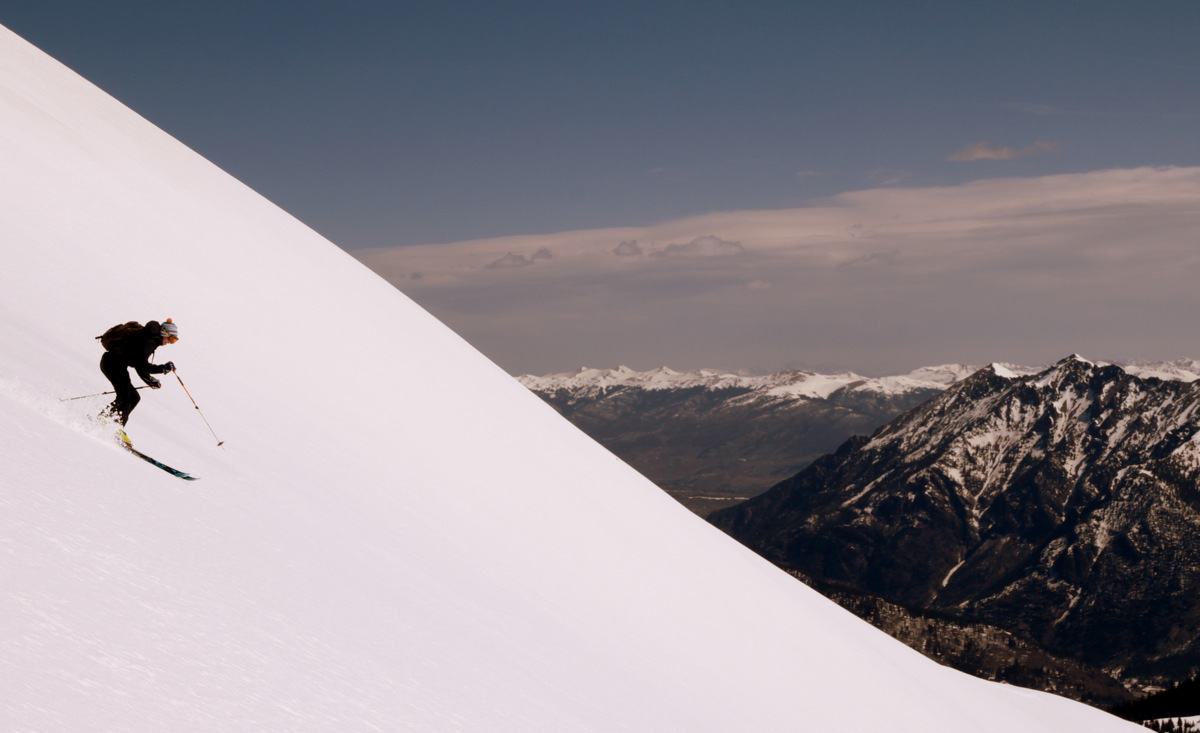
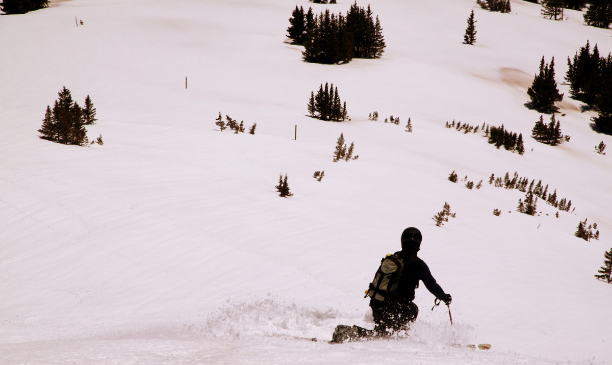
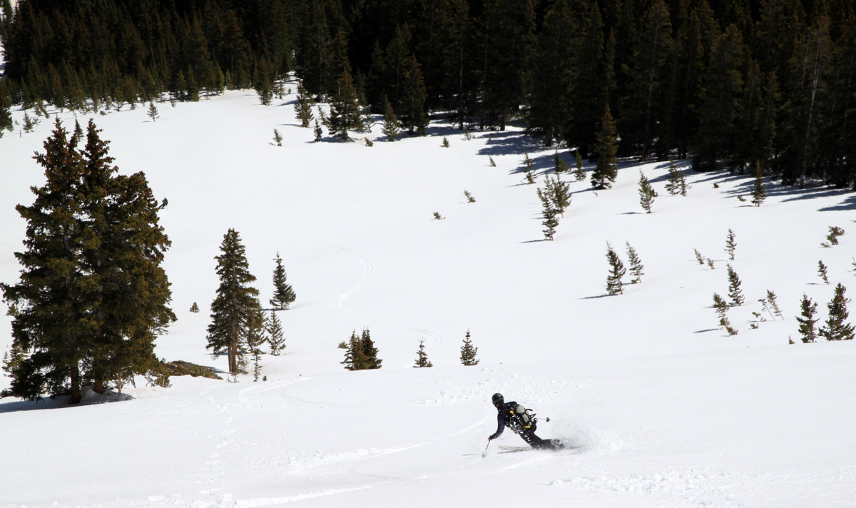
We started down around 10:45am and just had perfect corn down the east face of Jacque Peak. It was just plain fun skiing.
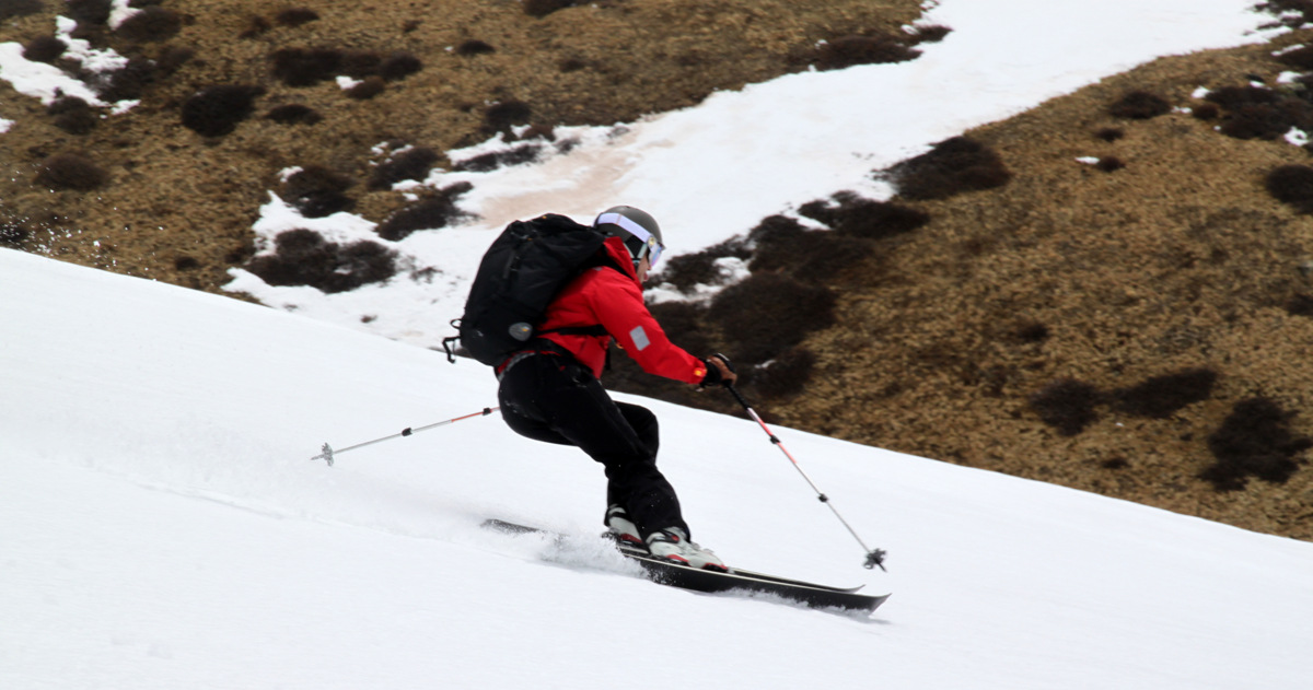
Dan O’Callahan looking better than he did in Hot Dog: The Movie

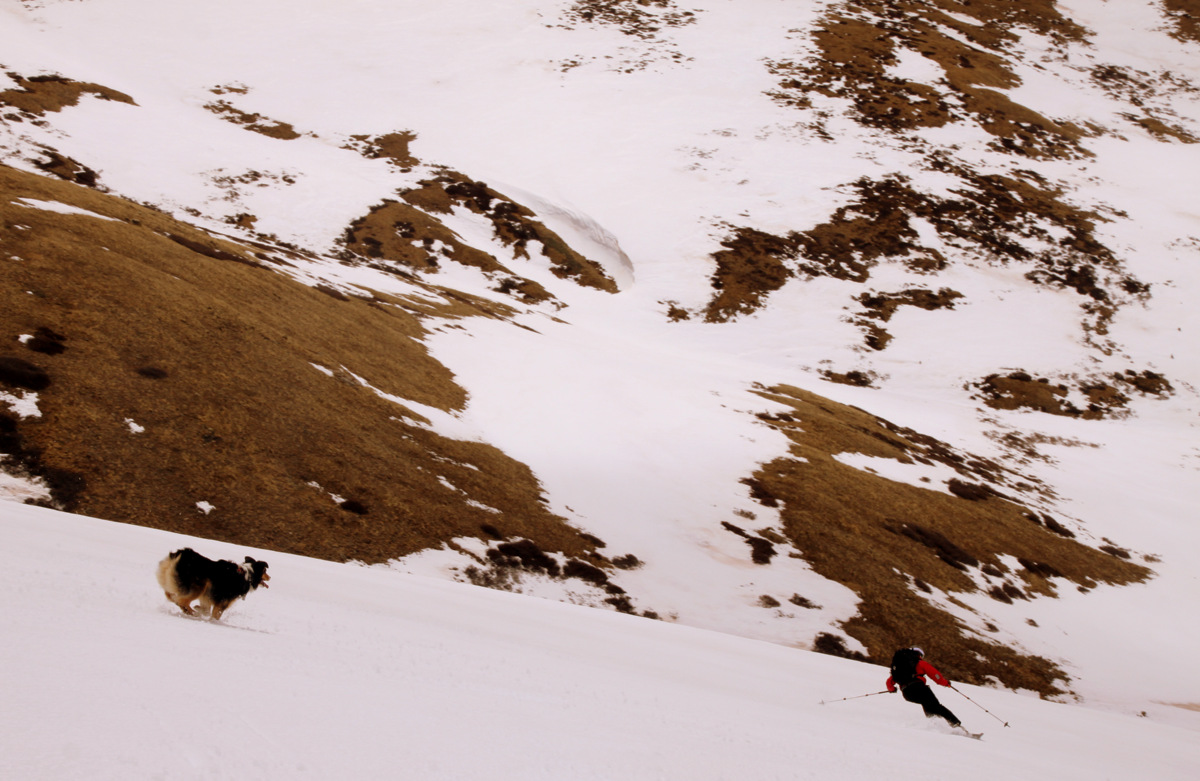
Zac & Mia charging the face

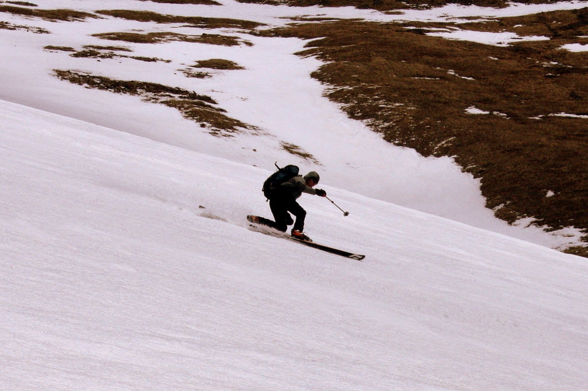
Jake making the tele turn look solid on Jacque’s east face
The Tenmile Range serves as a nice backdrop down the east face
Mikey perfecting his tele turn down Jacque’s east face
Teleing on soft corn just doesn’t get any better for me
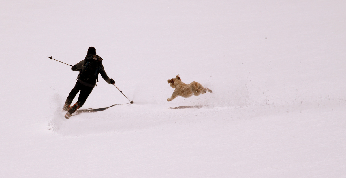
In an effort to catch me, Mia goes horizontal. Hilarious

Jake dropping a knee on Jacque’s lower east face
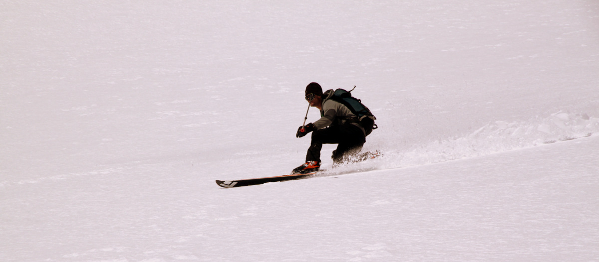
It was perfect 30 degree corn skiing down such a fun east face. We regrouped after skiing about 1,500′ of perfect corn all giddy about the ski descent.
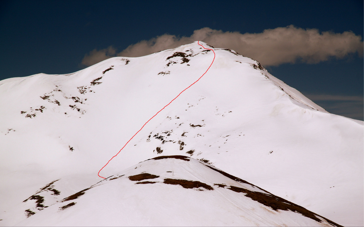
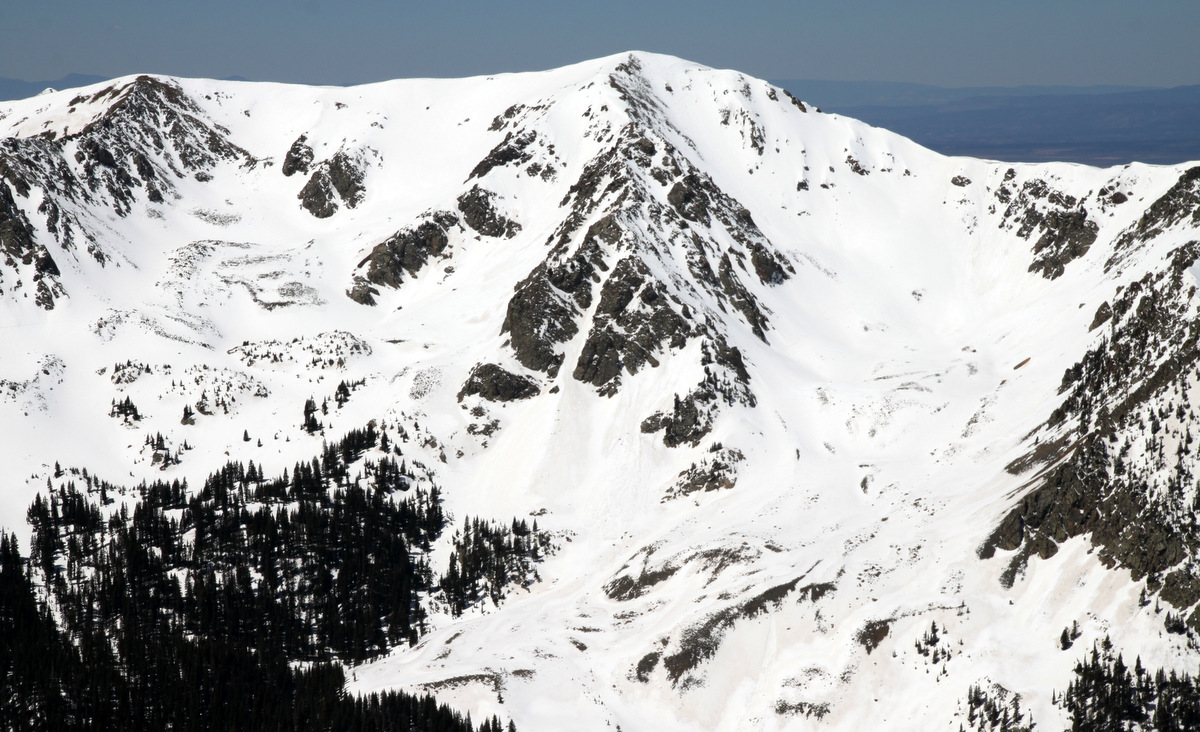
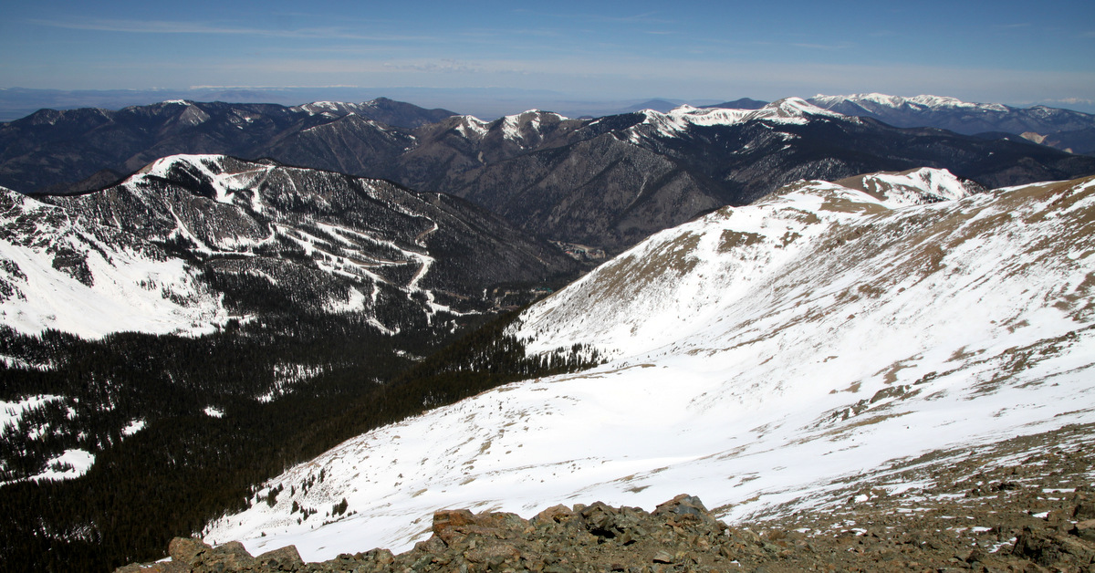
Our line down Jacque Peak’s east face as viewed from Tucker Mountain
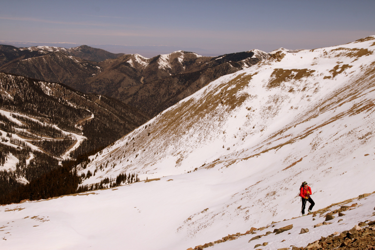
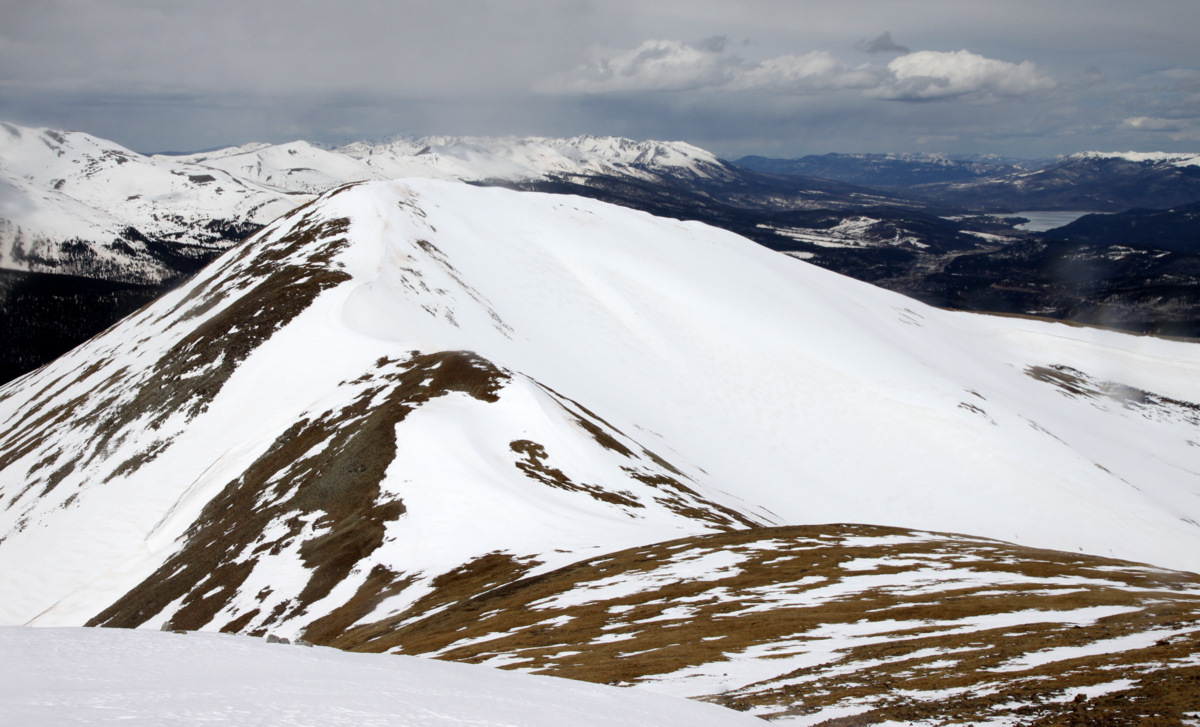
I had originally thought of descending all the way down into Tucker Gulch below Jacque’s east face to the Climax Mine access road, but after our “run-in” with Lonestar Security earlier that morning, we decided we should exit the way we came in. We were able to traverse over to the saddle between Tucker Mountain and Jacque Peak after skiing Jacque’s east face proper and from there we had a decision to make about what we wanted to do. As it seemed only the east facing slopes were really warming up and wanting more corn skiing, we decided to hump it up and over Tucker Mountain (12,337′) and ski the easternmost Fremont Glade chute (part of Copper Mountain ski resort) we viewed on the way into Copper Creek drainage. This turned out to be a solid plan as the corn skiing off Tucker Mountain was phenomenal.
About to drop off Tucker Mountain
Jake
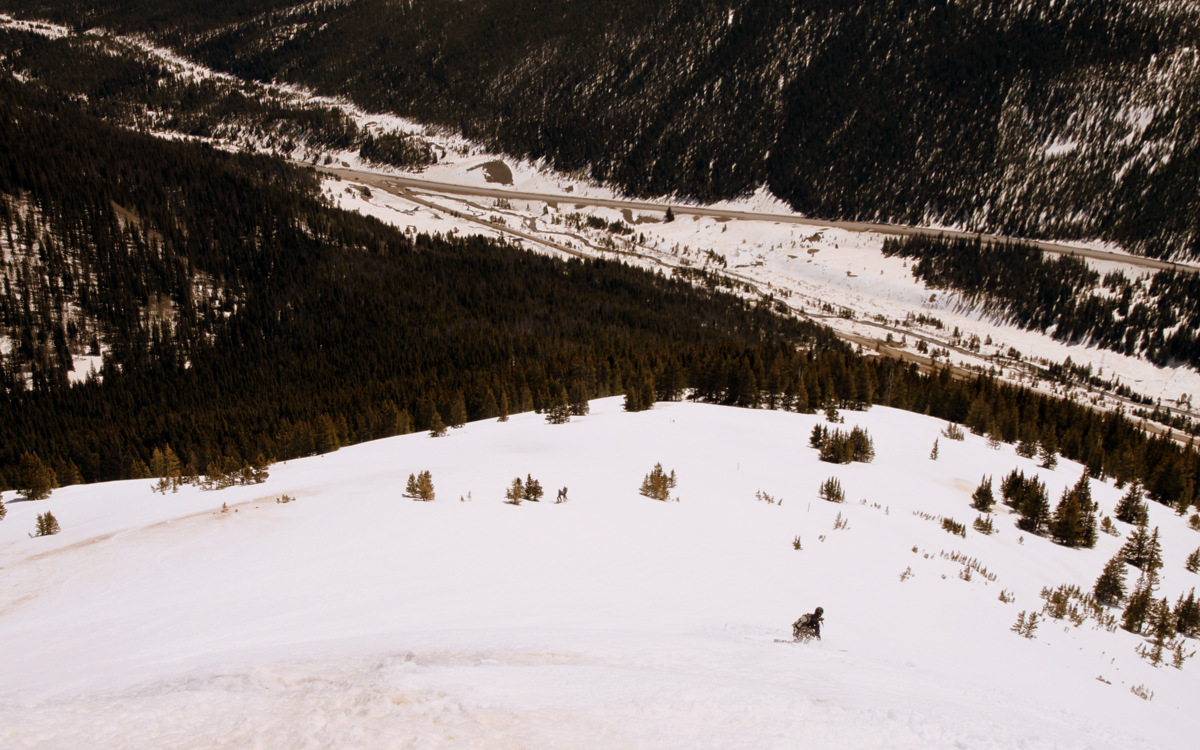
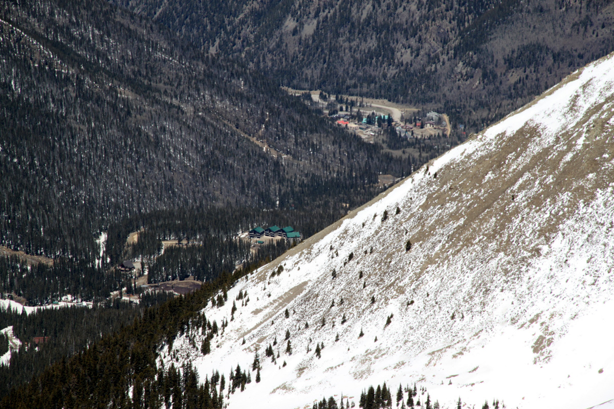
Highway 91 and our cars at far left can be seen down below
Jake lower in the Fremont chute
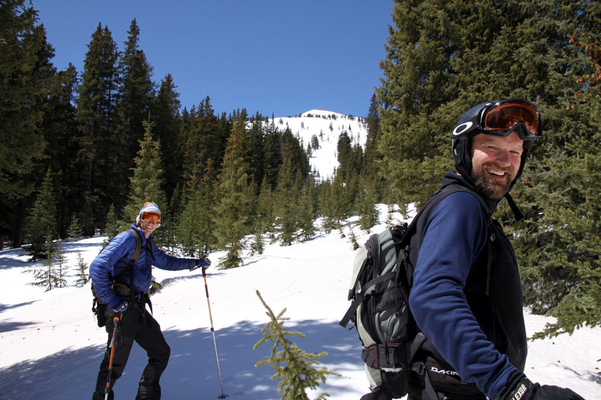
Shawn (left) and Jake stoked to have harvested some awesome corn this May day
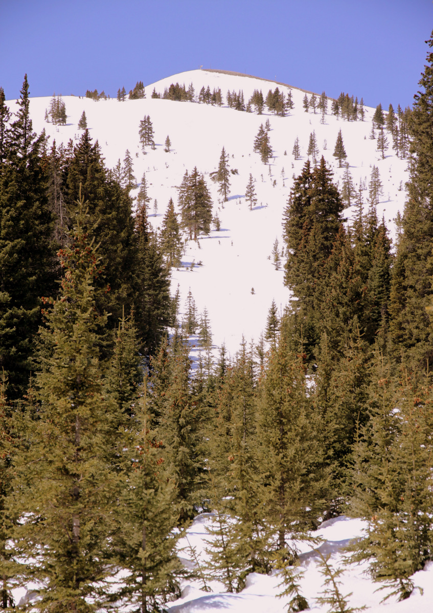
The Fremont Glade chute we descended off Tucker Mountain as seen from the Copper Creek drainage
We regrouped back in the Copper Creek drainage and made out way out to the cars mindful to stay as far away from the Climax Mine access road on as was reasonably possible. Upon arriving back at our cars on Highway 91 around noon, we were all so happy with how the morning unfolded despite our brief encounter with the rent-a-cop. As we probably should have just thrown everything into the cars and be on our way, sure enough Mr. Climax Mine supervisor security man came up in his truck and told us to please stay put as the deputy was on his way. Oh boy. Here we go. The supervisor was actually very nice and asked us how the skiing was and whatnot. Fortunately, the rent-a-cop from earlier that morning did not show up. Apparently, Climax Mine was charging us with trespassing even though we told the supervisor what the fellow rent-a-cop told us earlier that morning. We assumed we would be just fine if we parked across 91 as he instructed (which we did) and stayed as far away from the access road and Climax Mine property line, which was not marked well if at all (especially in the Copper Creek drainage). Nevertheless, the Climax Mine personnel would not have it, and the Summit County cops showed up. These guys were super nice and honestly looked a bit frustrated with the fact that they even called here for this trespassing incident in the first place. There are certainly bigger fires to put out than writing up five engineers out backcountry skiing on a gorgeous Tuesday morning. However, Climax Mine was charging us with trespassing and even though the cops actually didn’t see us trespass, they were required to cite us and write us a summons to appear in court on the charge of Third Degree Criminal Trespass. Unfortunately, we couldn’t simply pay a fine and are all required to appear in court. Depending on what the judge decides, the cops told us we will have to pay around a $100 fine or be let off completely. I guess we’ll see what the judge thinks of our incident. Well, I haven’t been really written up for anything since college (oh yeah, my speeding ticket on the way to Durango to take my Professional Engineering exam in April 2009), but there was some pretty fun banter back in forth between the five of us about how we were such hardened criminals nowadays.
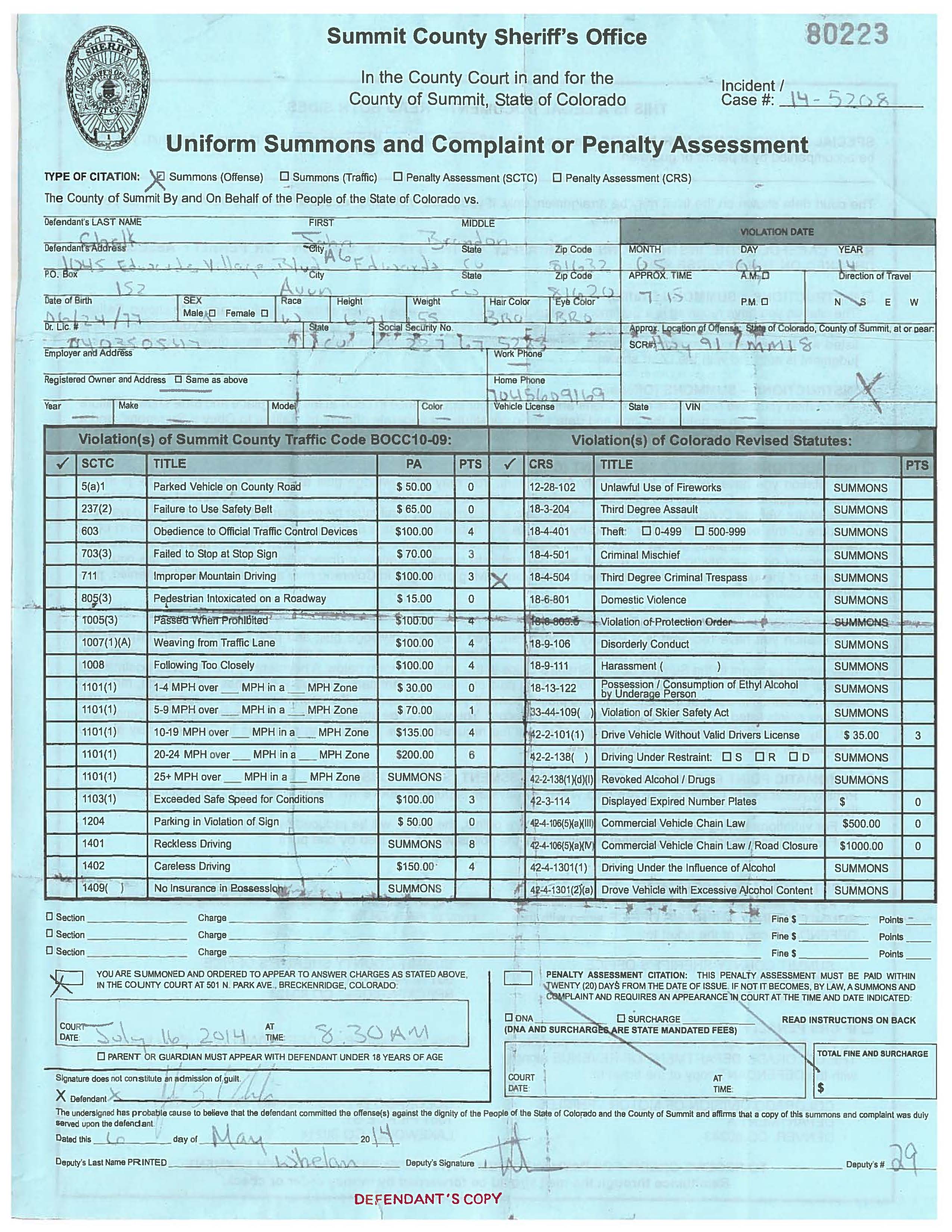
Criminal proof 🙂
The cops were super cool and I could tell they even hesitated to write us up as they probably thought it all fairly silly. We took it pretty good and didn’t let it ruin our day. It had been an awesome morning. I wish I had taken some pictures of the five of us on Highway 91 with three Climax Mine security trucks and two cop cars. That would have been a pretty funny and entertaining scene to witness. I think in order to avoid Copper Mountain ski patrol and Climax Mine altogether, the time of year and route to take to access Jacque would be after the ski resort closes and via Copper Mountain’s ski slopes. Basically, just skin up and over Copper Mountain and down into Copper’s back bowls. Sometimes you learn the hard way, I guess. Anyway, was the ski-mountaineering adventure on Jacque Peak and surrounding terrain worth the citation? You betcha! We’ll see you in court!
 Follow