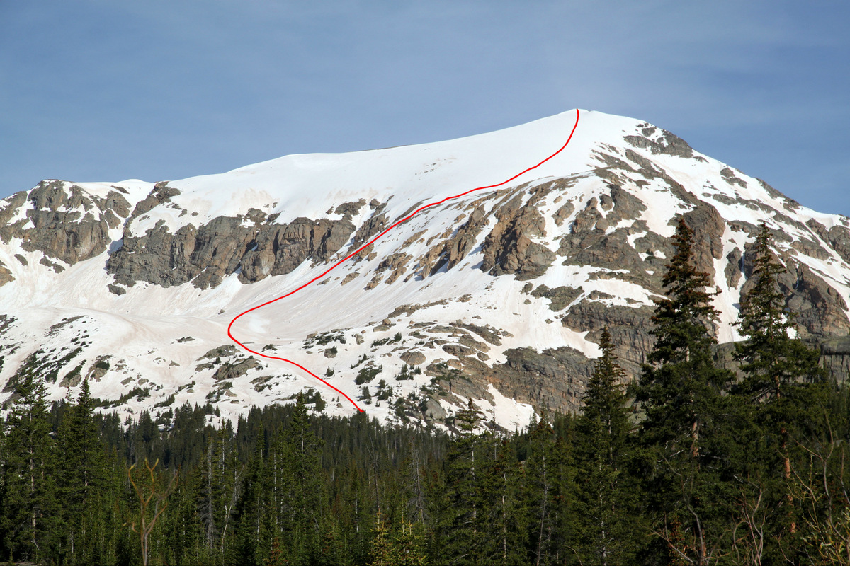
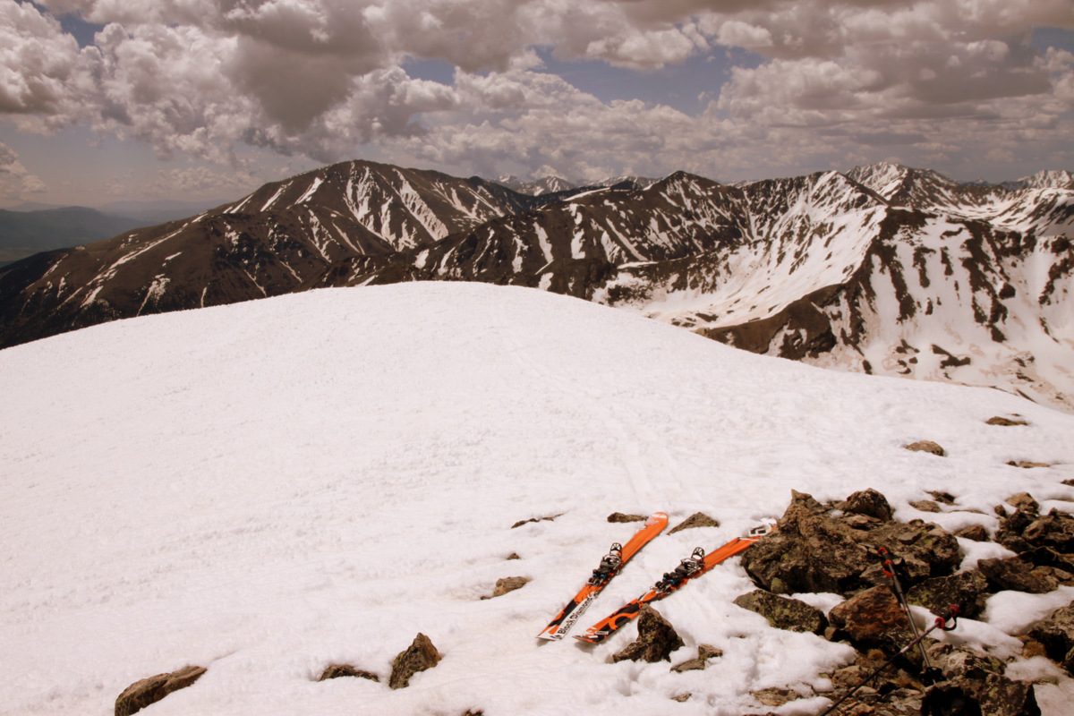
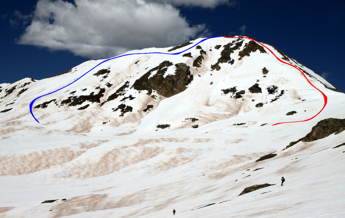
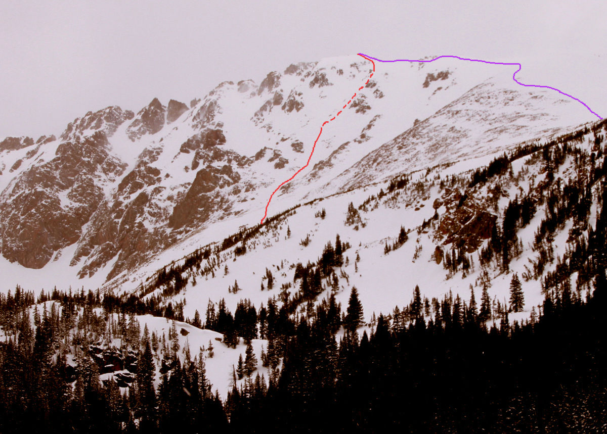
Buffalo Mountain’s Silver Couloir
Buffalo Mountain is that big behemoth of a hill most of us have viewed a hundred times when driving west bound on Interstate 70 down from the Eisenhower Tunnel. Located in the southern end of the Gore Range and though only 12,777′ in elevation, Buffalo has one of the most spectacular ski lines called the Silver Couloir on its steep northeast face. This 3,000′ couloir tops out at around 40 degrees in steepness with most sections in the mid-30 degree range. It is even featured in the big coffee-table book Fifty Classic Ski Descents of North America by Chris Davenport, Art Burrows, and Penn Newhard and in the new guidebook Climbing and Skiing Colorado’s Mountains: Fifty Select Ski Descents by our friends Brian Miller and Ben Conners. Its easy access, mellow approach to its summit, and great skiing make this a classic and I don’t know of too many other ski lines where you can get as much “bang for your buck” in terms of effort involved for great skiing.
I’ve been fortunate to climb and ski Buffalo now three times and each has been a great outing. My first experience was by myself with Rainier & Kona on a very late season July 3, 2008. I had just heard about this line and decided to go check it out with the pups and being July 3 I think it was relatively safe in terms of avalanche hazard 🙂 We had a great day and most of the Silver Couloir was amazingly skiable!
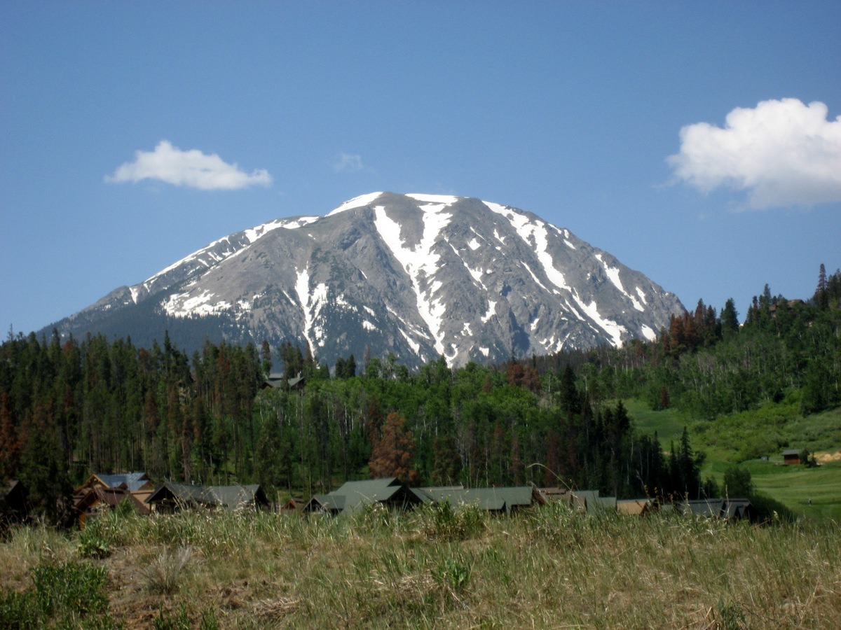
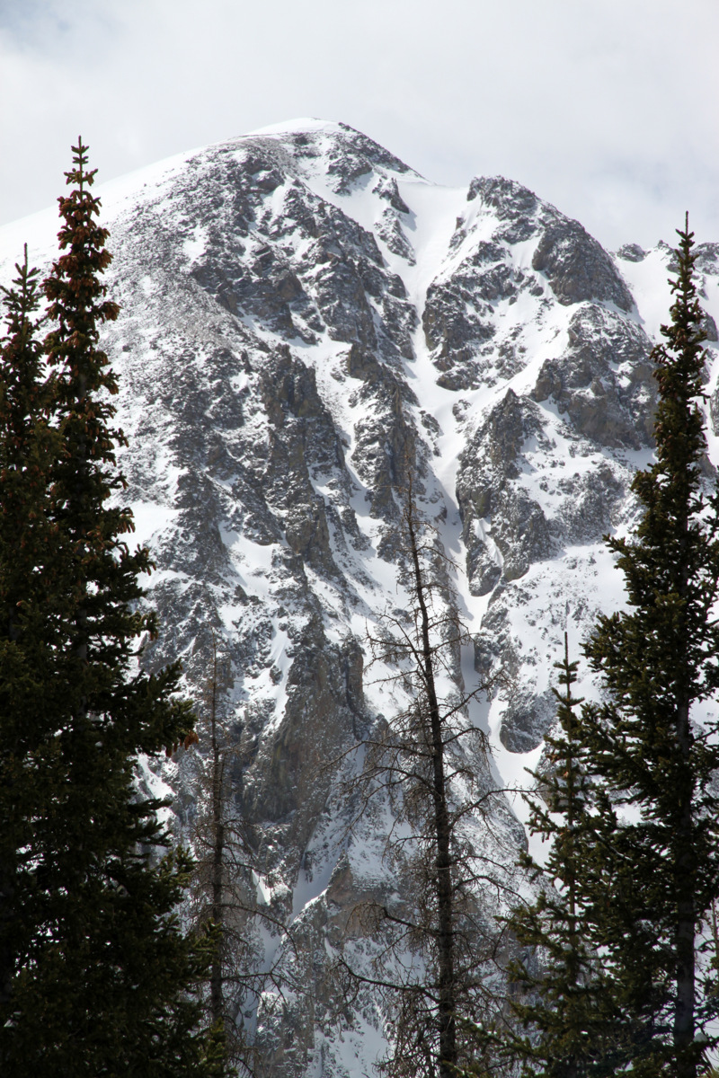
The Silver Couloir on July 3, 2008 as viewed from Highway 9 north of Silverthorne

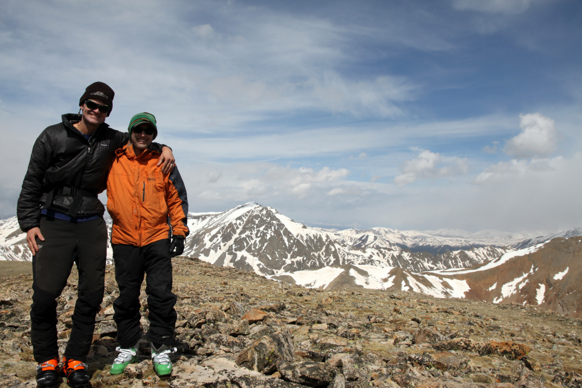
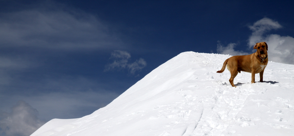
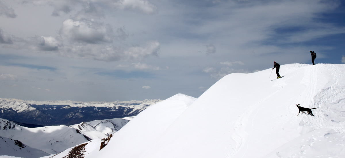
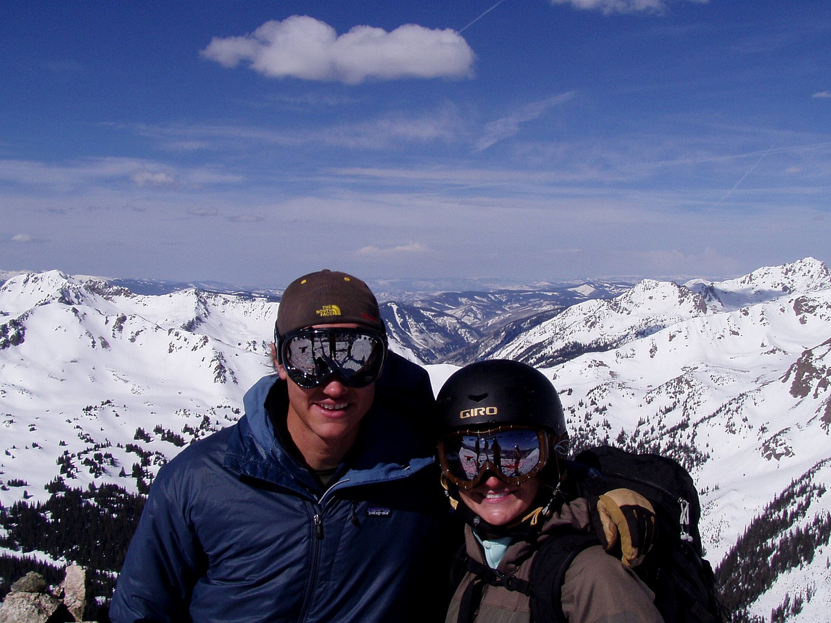
A younger me, Rainier, & Kona on Buffalo Mountain’s summit (12,777′)
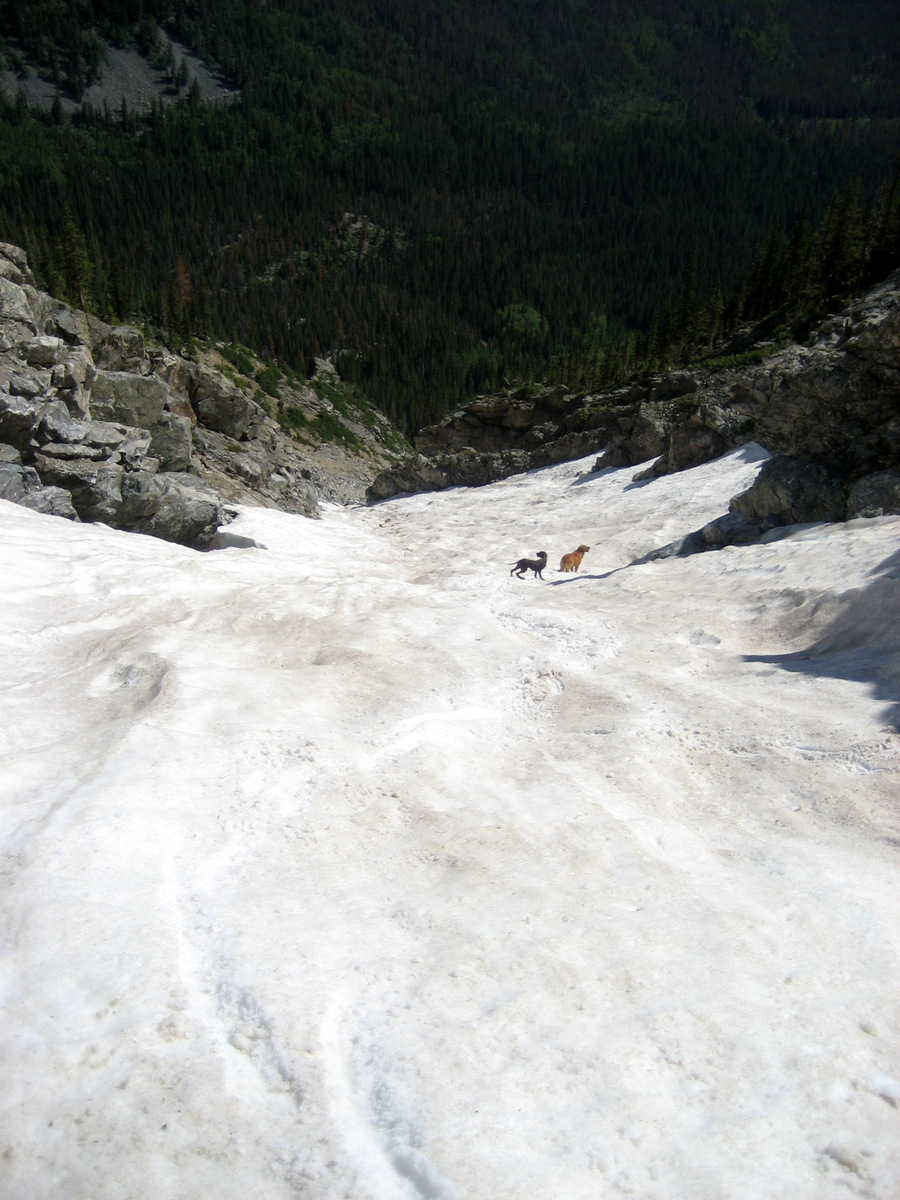
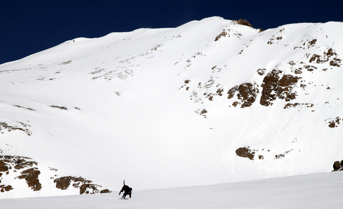
The dogs halfway down the Silver Couloir that hot July day back in 2008
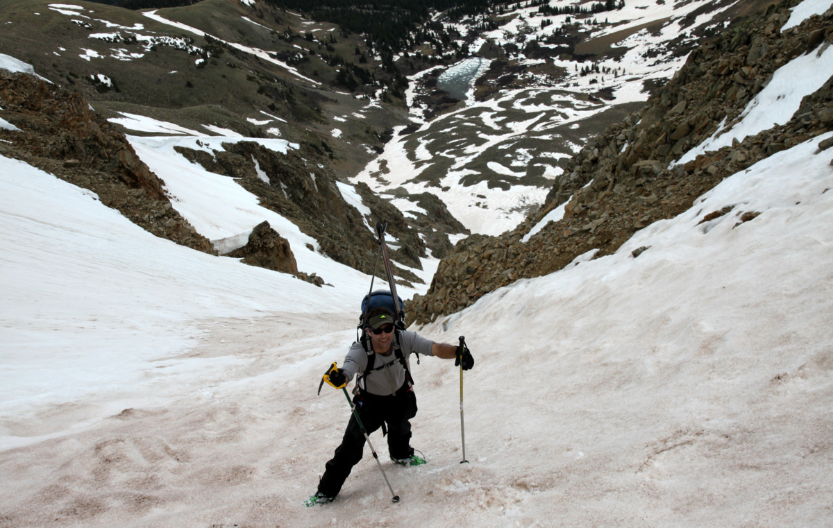
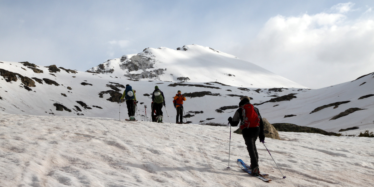
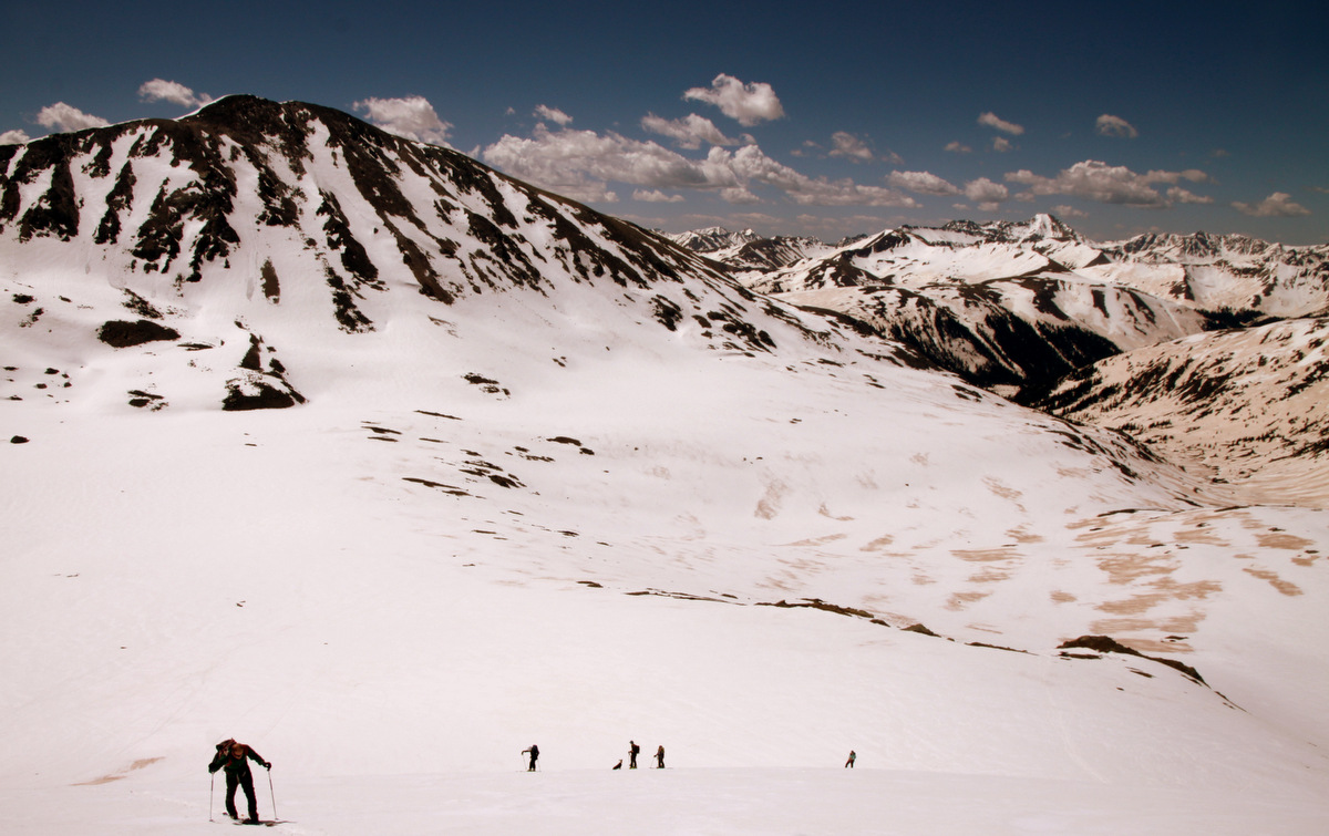
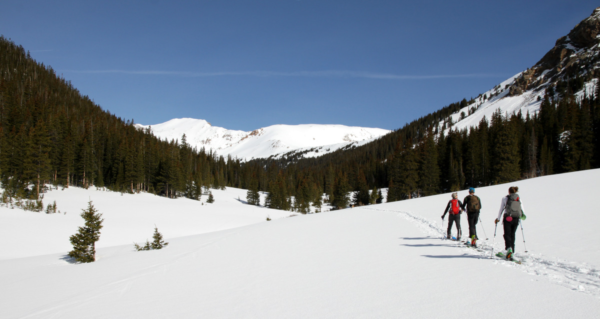
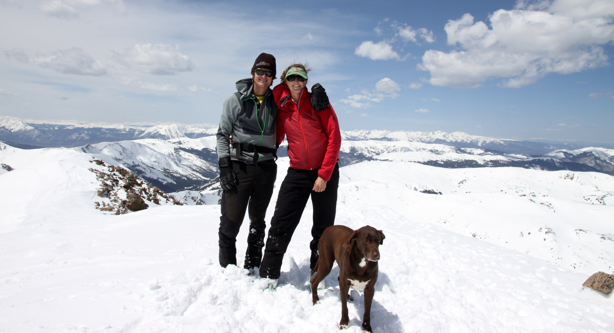
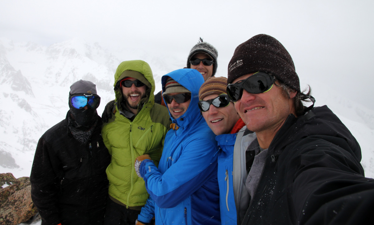
My second outing up and down Buffalo was on March 21, 2009 was with a large crew of great friends, my girlfriend at the time (yes, Kristine), and Rainier & Kona, once again. This trip had more of a winter feel to it considering the colder temperatures and larger snowpack up Buffalo’s standard route and down the couloir.
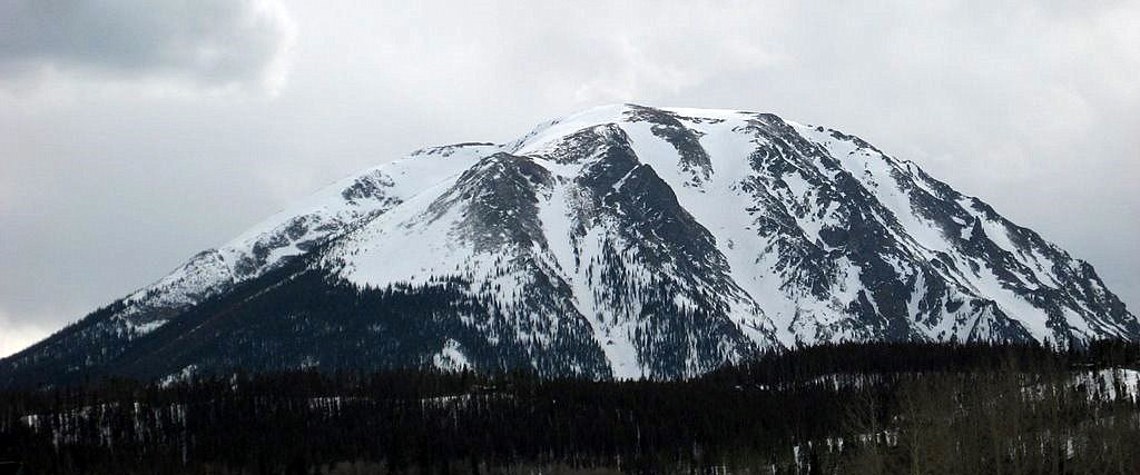
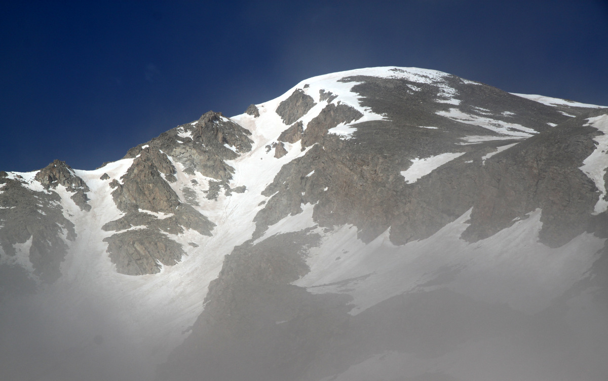
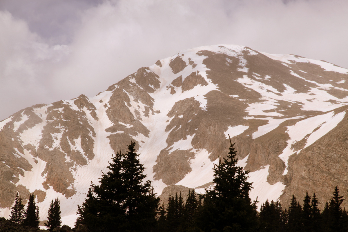
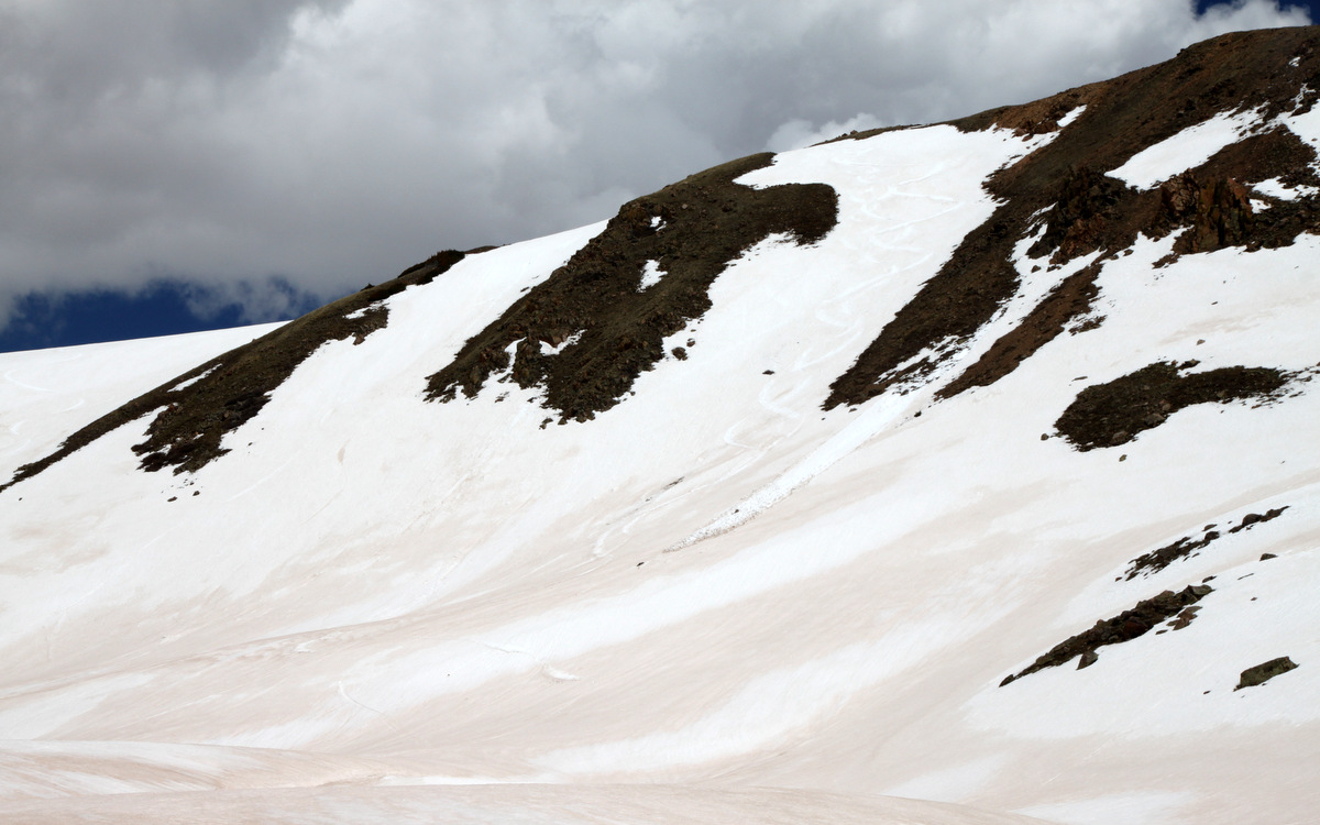
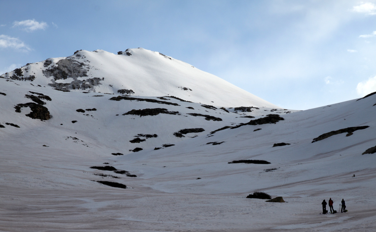
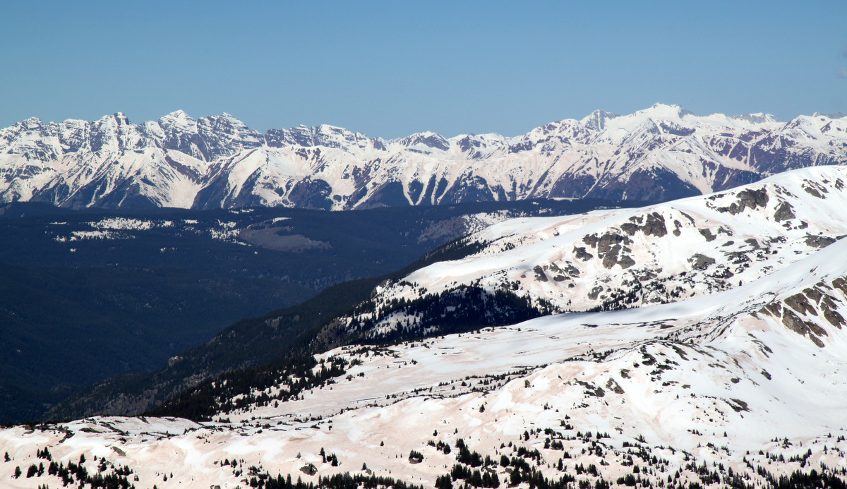
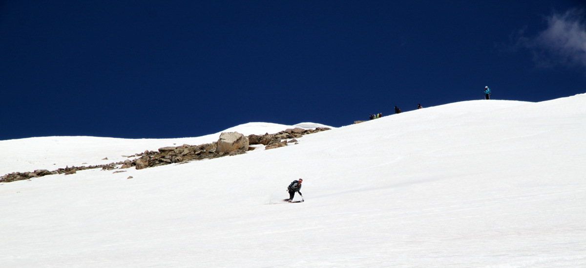
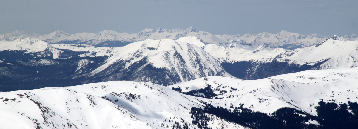
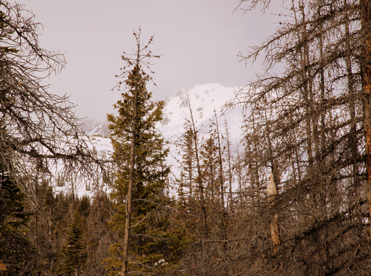
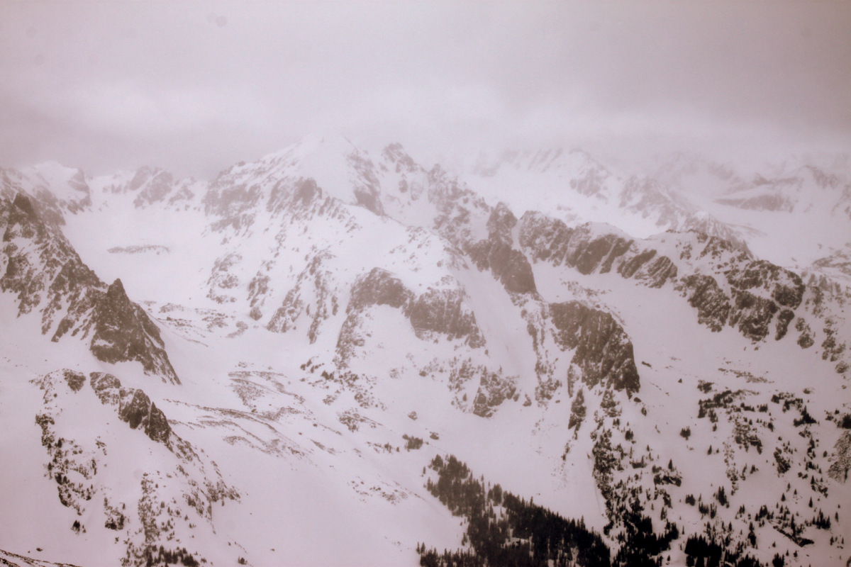
Buffalo Mountain and its much more filled-in Silver Couloir on March 21, 2009
The conditions in the couloir, however, were not so much fun powder as they were harder recycled powder with a breakable crust in certain sections. I learned a valuable lesson this day and that was to not charge down a couloir, especially not knowing the conditions. During this particular time of day half of the couloir was in the sun and half was in the shade. I charged in the steepest section and laid out a tele turn skidding into the shaded part and hit some icy hardpack and took a tumble. I slid head first for maybe 200 ft before grabbing a rock in the middle of the couloir thereby flipping myself around and stopping myself. I broke a tele leash in the process and my sunglasses slid another 1,500′ down the couloir to the apron below. Quite a rush and nerve-wracking for sure, but I learned so many valuable lessons – another of which was to always ski steeper slopes/couloirs with an ice axe or whippet (ski pole/axe combination). I was definitely much younger, naive, and inexperienced back then and have since learned a lot and gained valuable knowledge with regards to this whole ski-mountaineering activity. And, yes, I ski with a whippet these days.

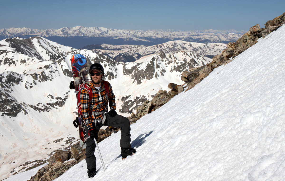
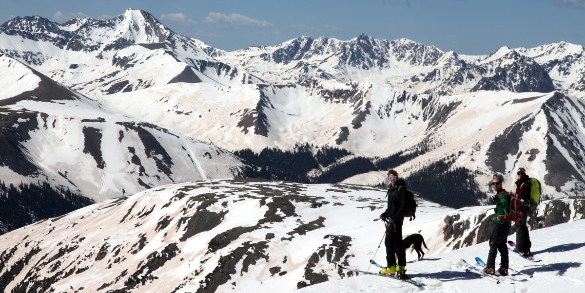
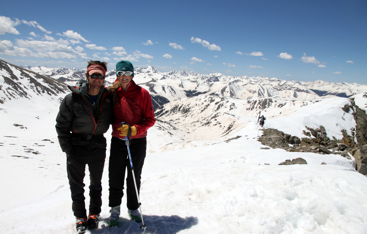
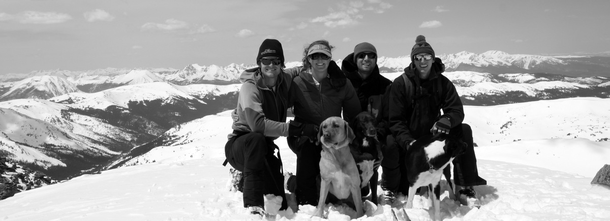
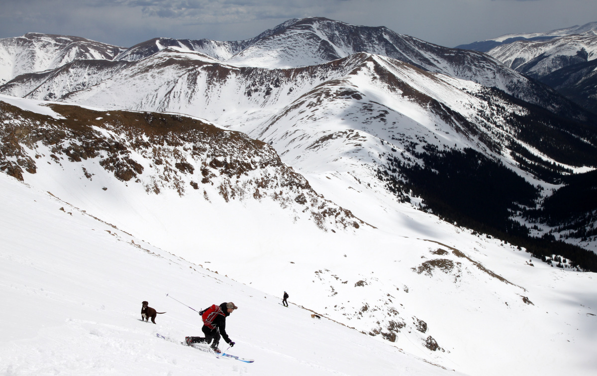
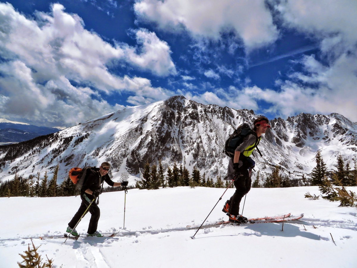
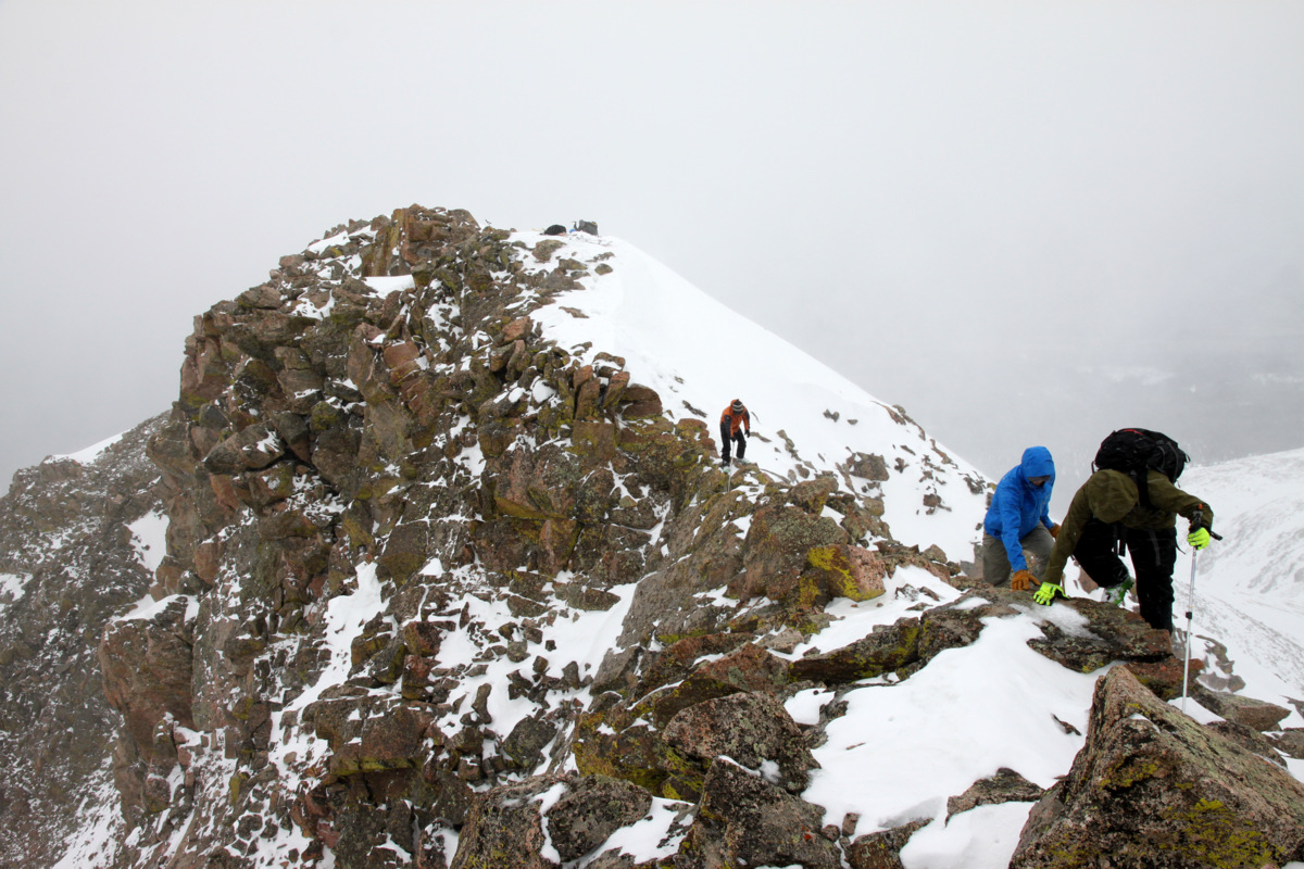
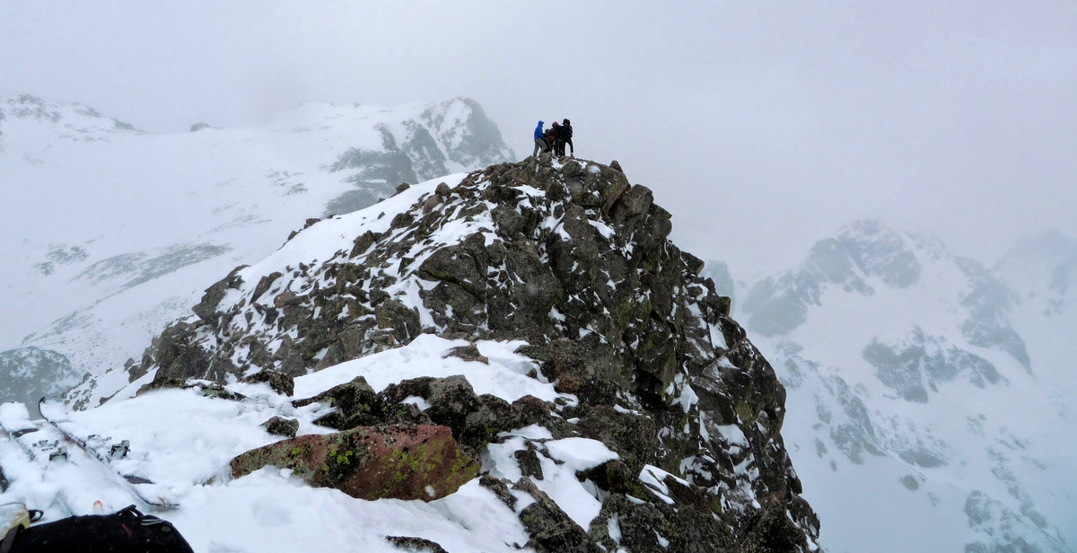
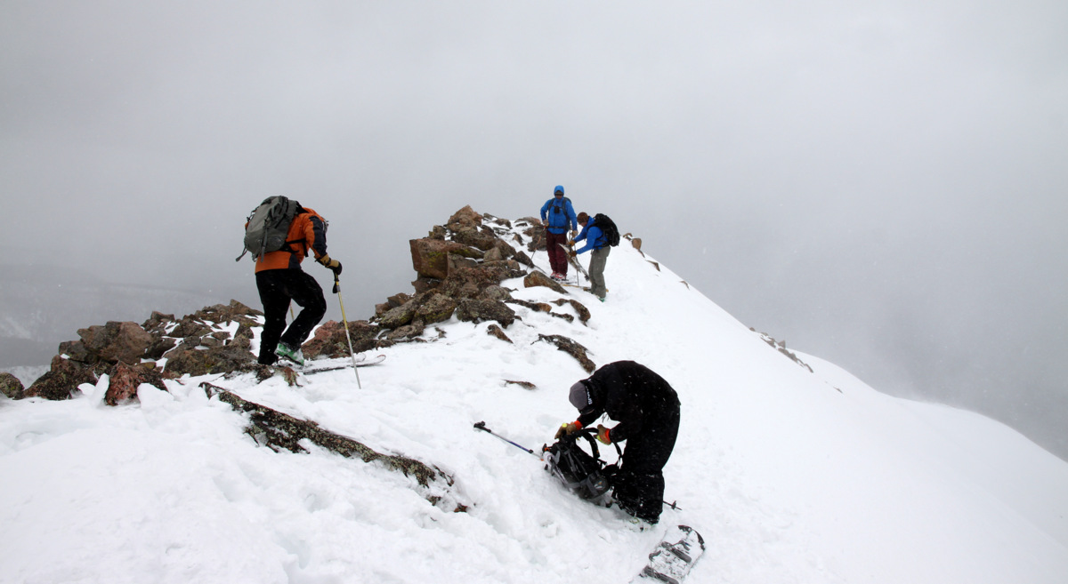
Ryan “Baba” Aldrich, me, Andy Dionne climbing Buffalo that late March day back in 2009
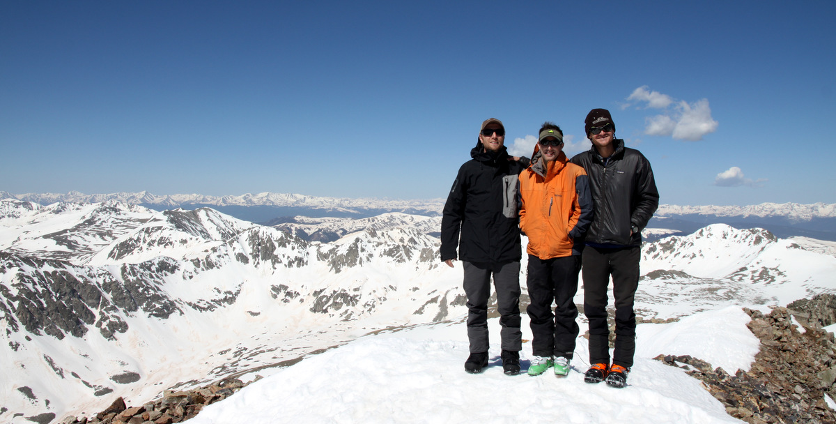
Caleb & Jennie Wray on Buffalo’s summit

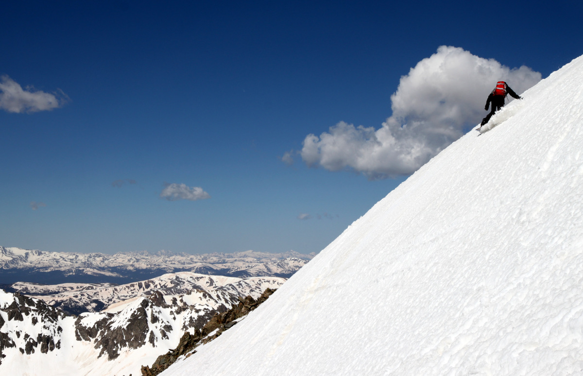
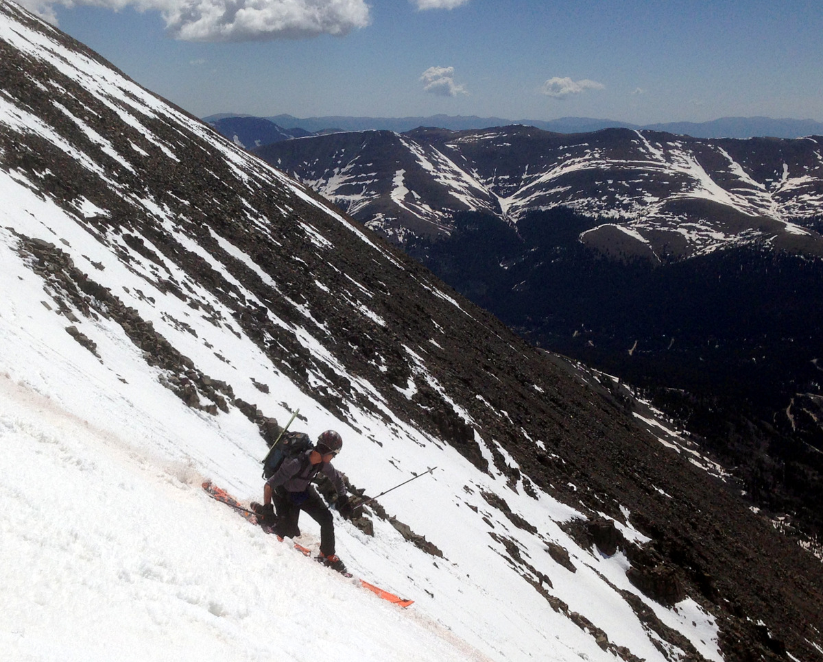
Chris Carlsen dropping a knee in the upper portion of the Silver Couloir
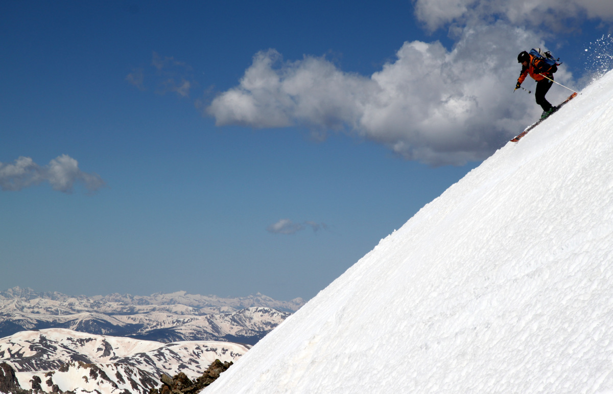
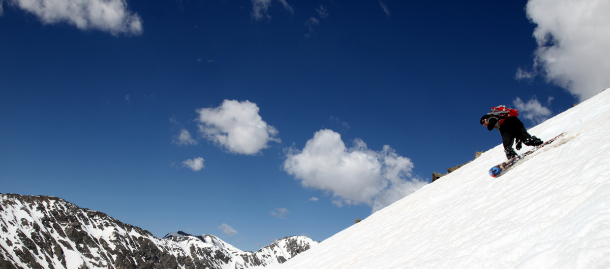
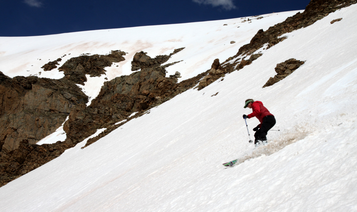
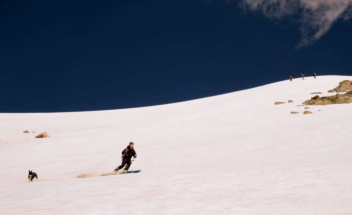
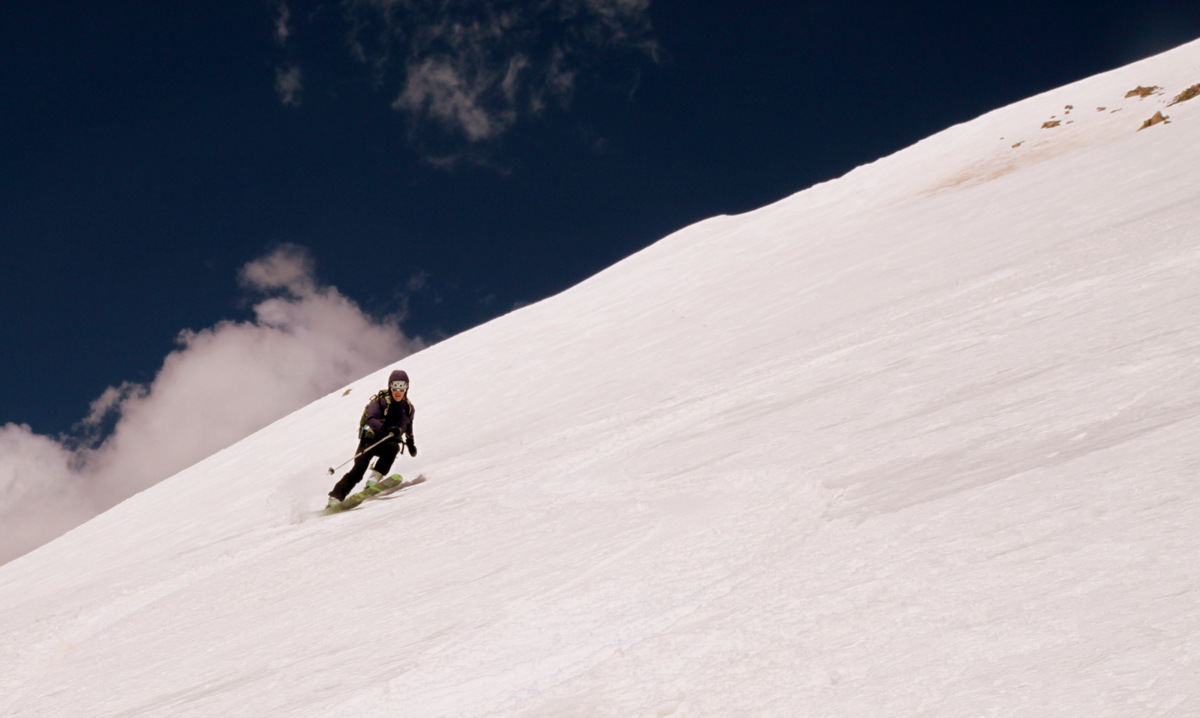
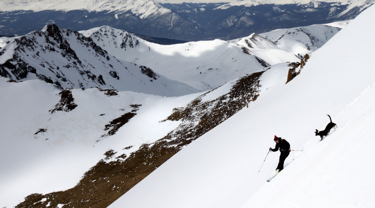
Kristine telemarking down the Silver

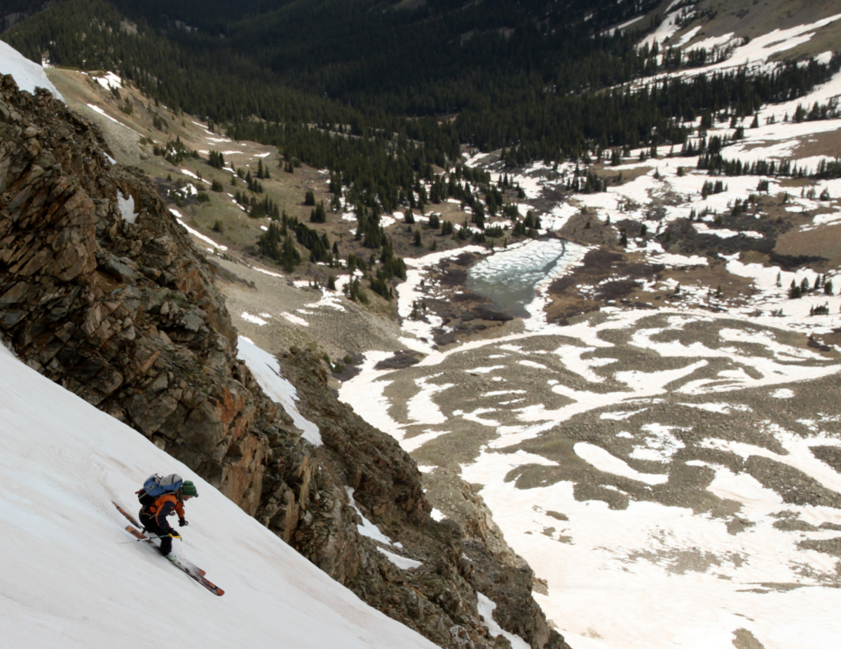
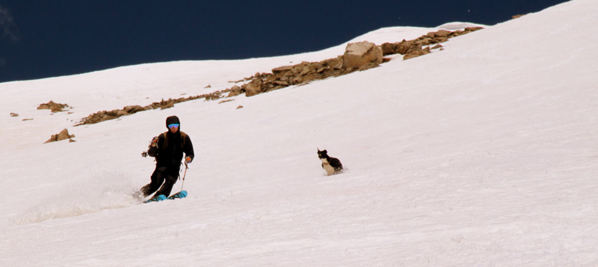
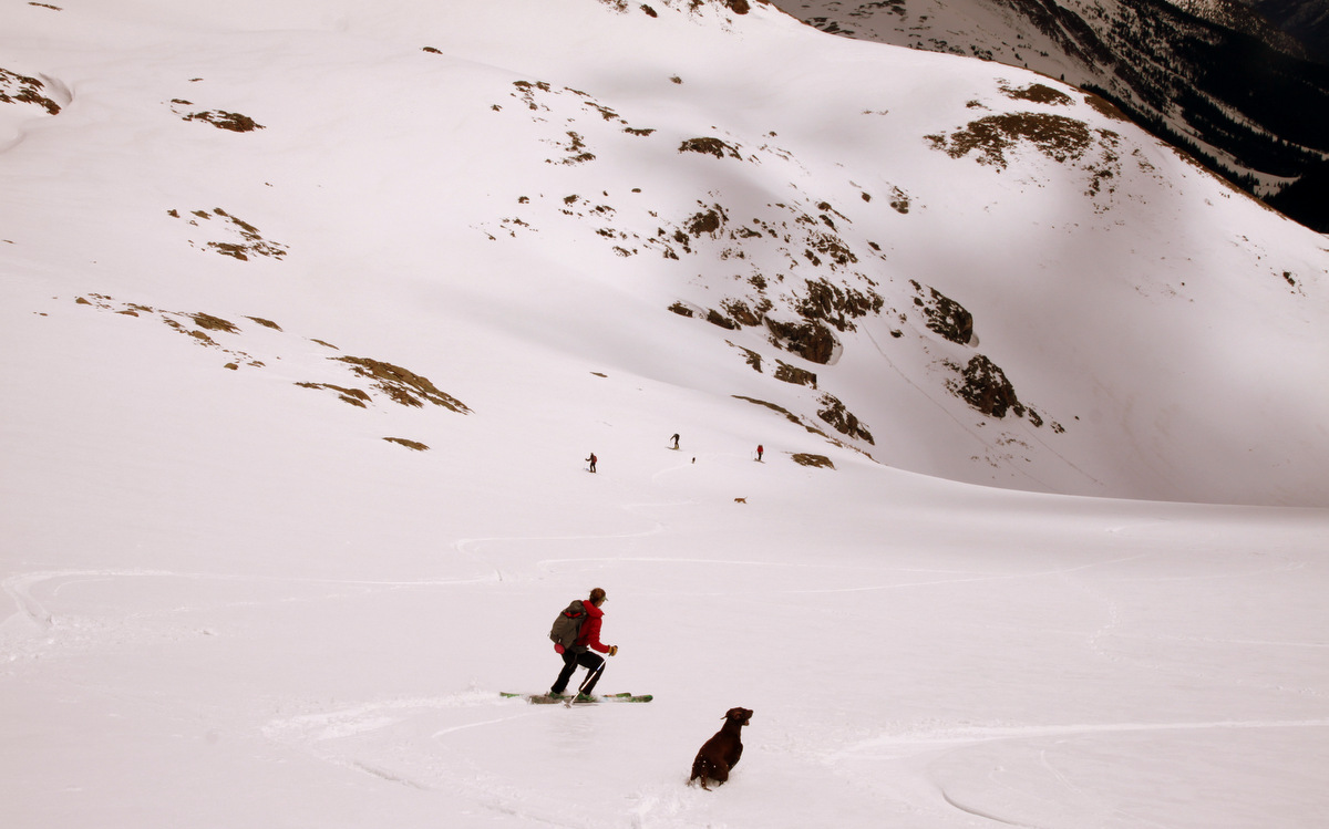
Kona and Derek Drechsel in the lower portion of the Silver
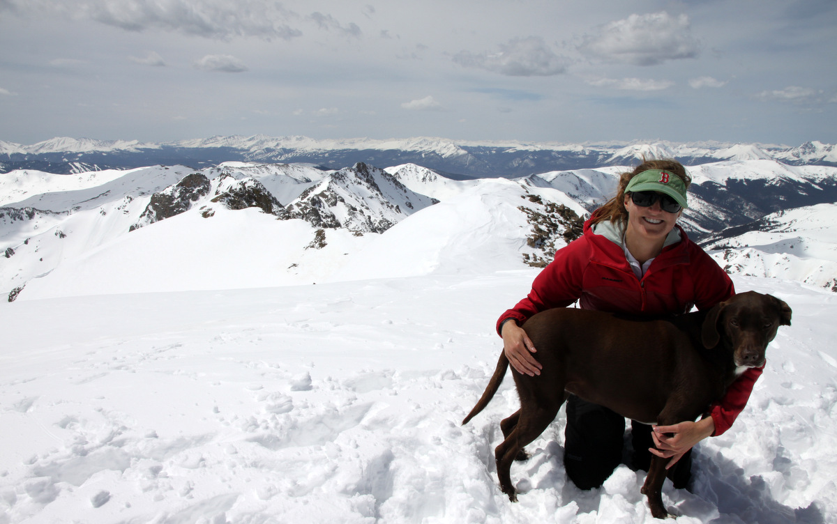
Jennie Wray
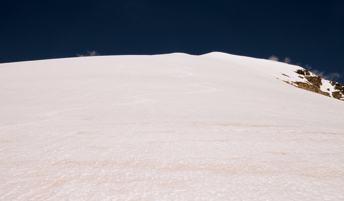
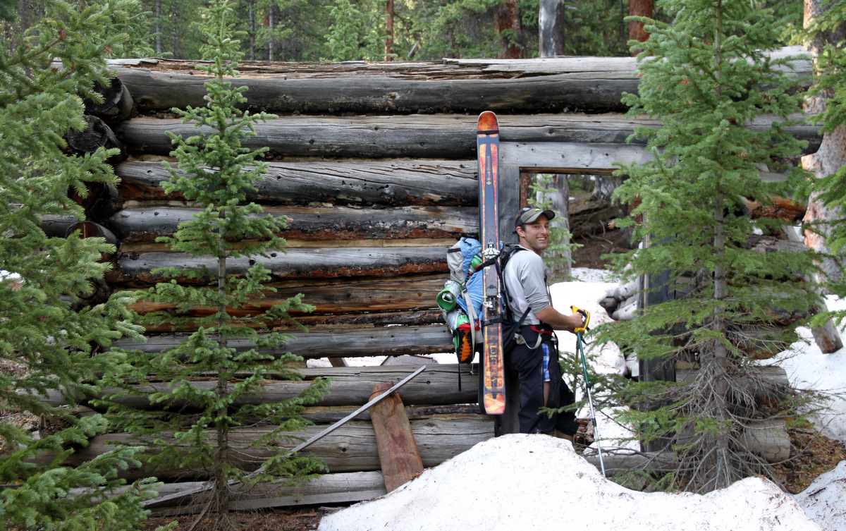
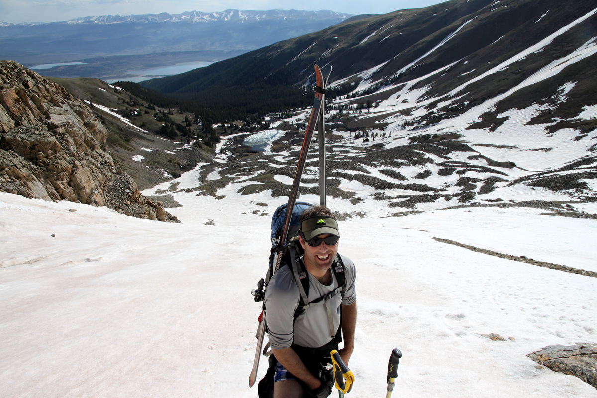
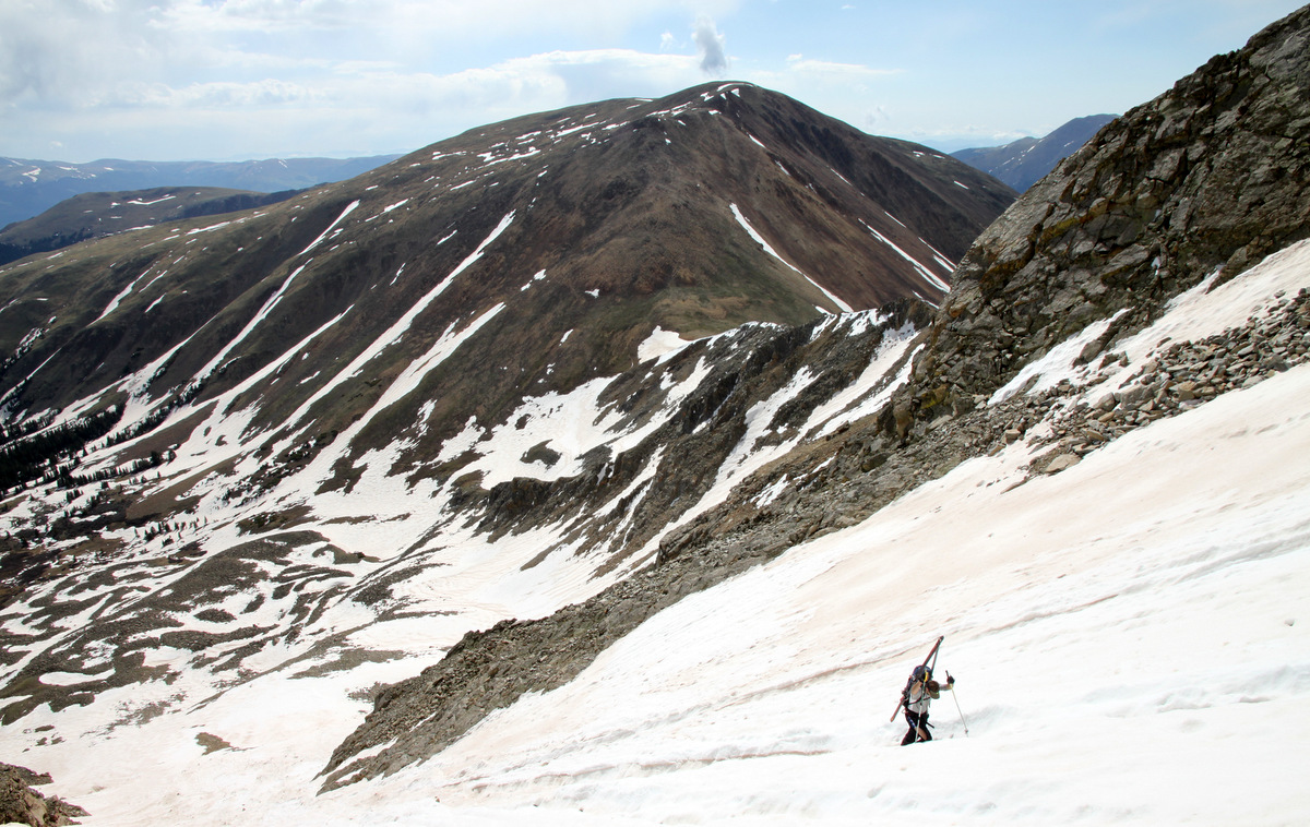
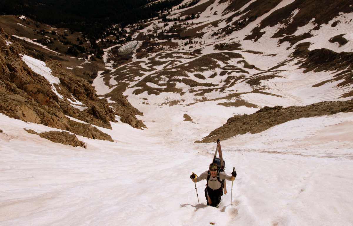
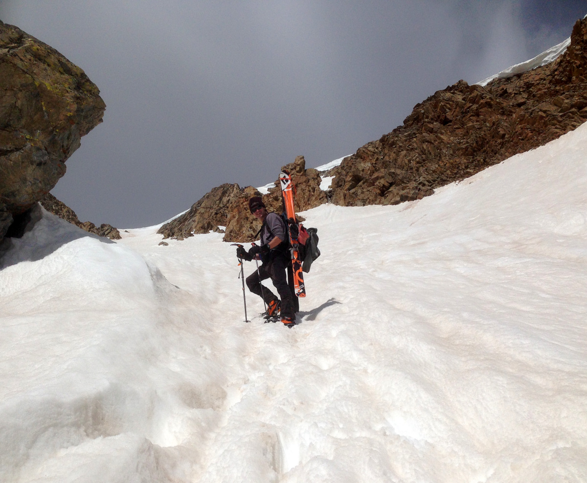
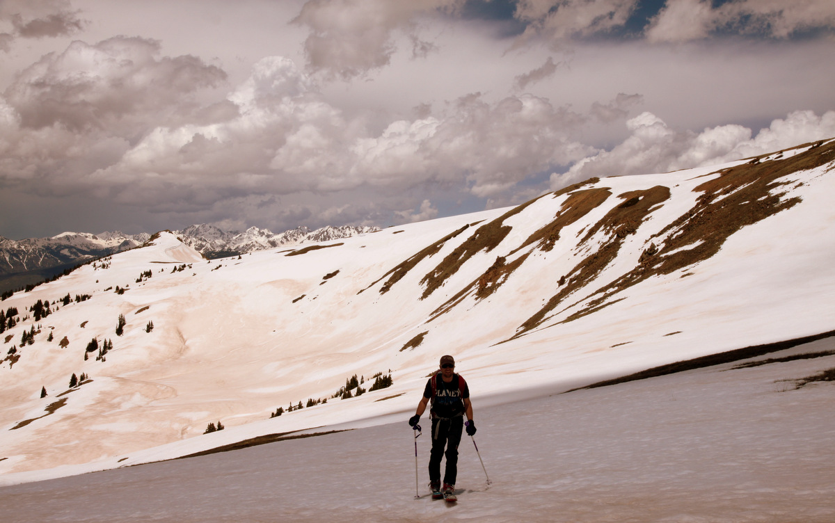
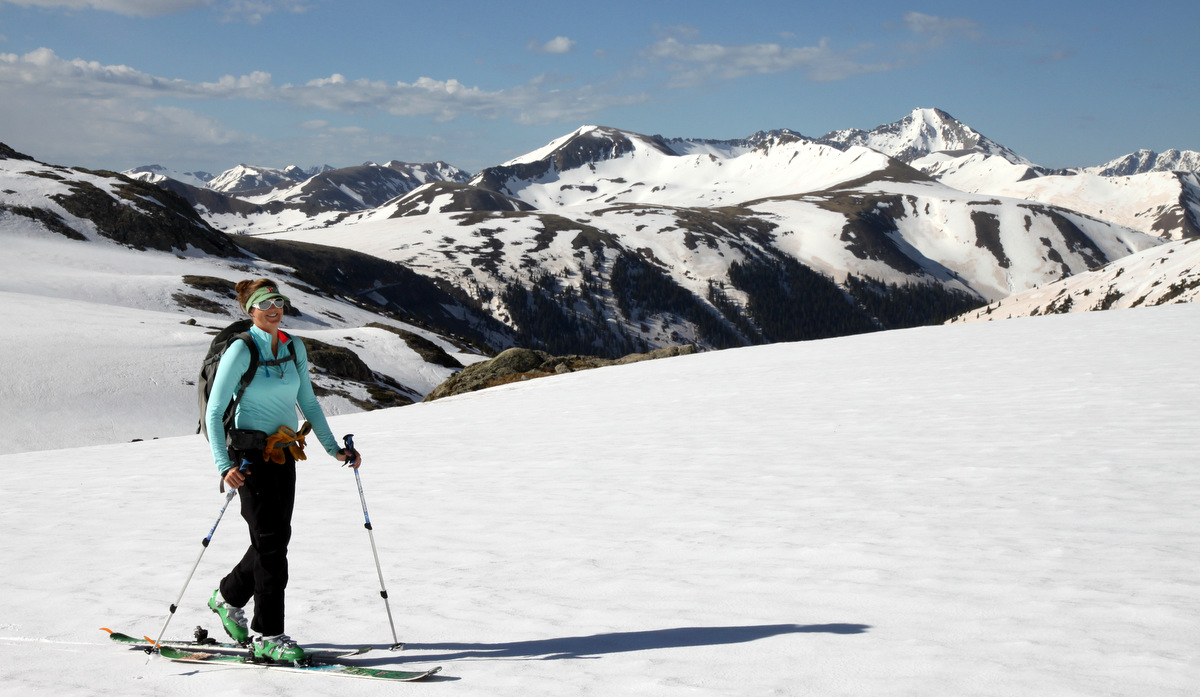
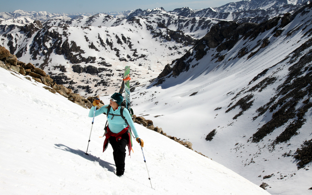
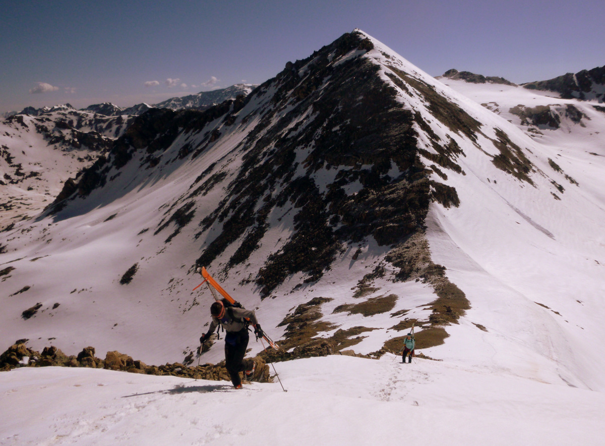
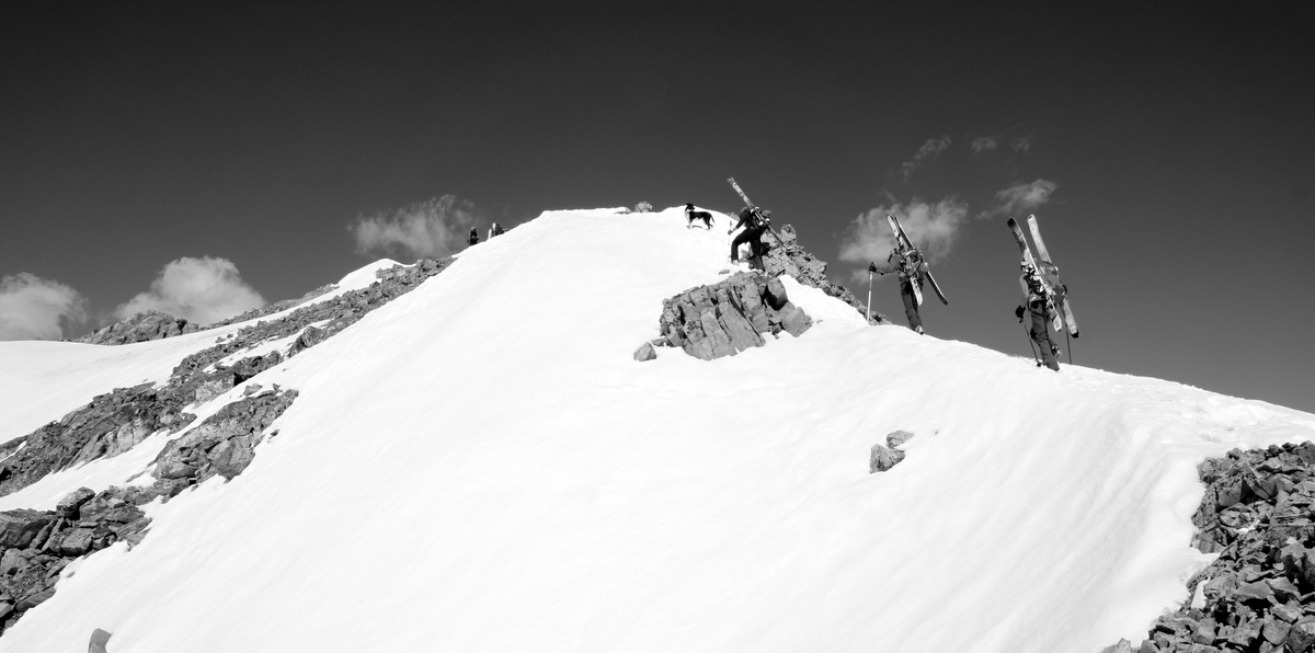
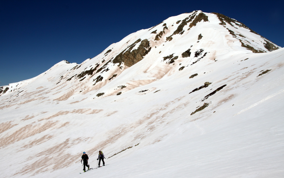
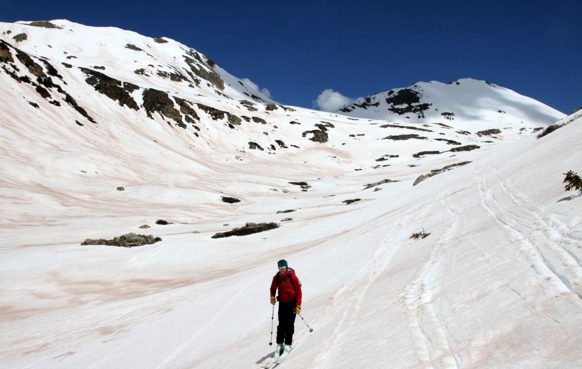
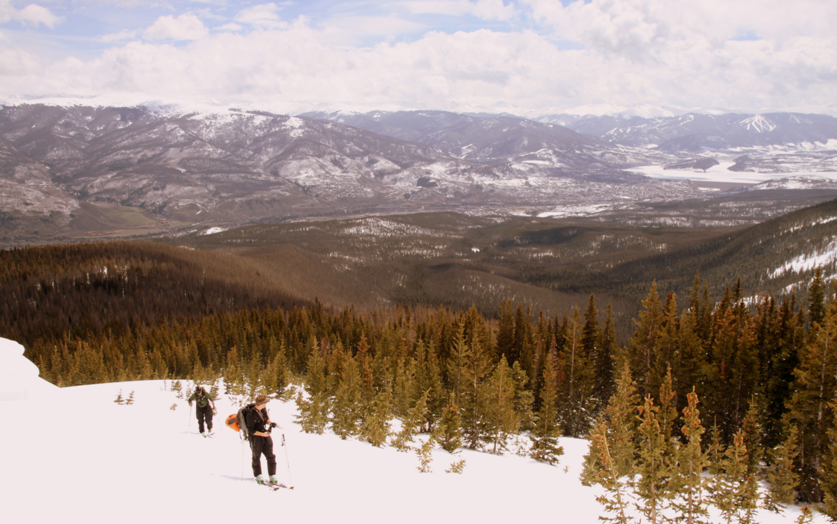
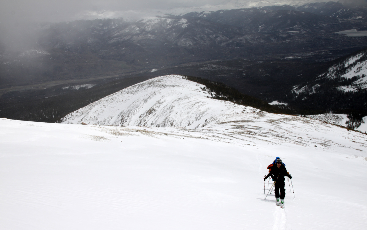
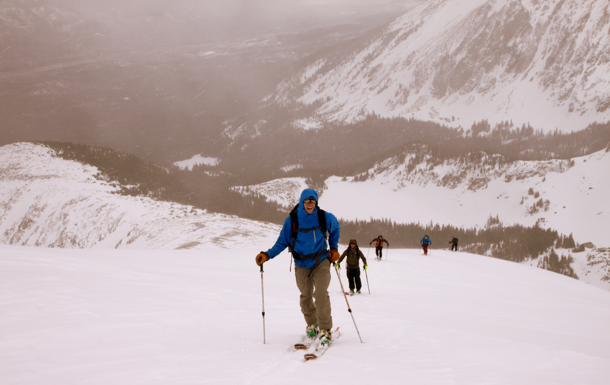
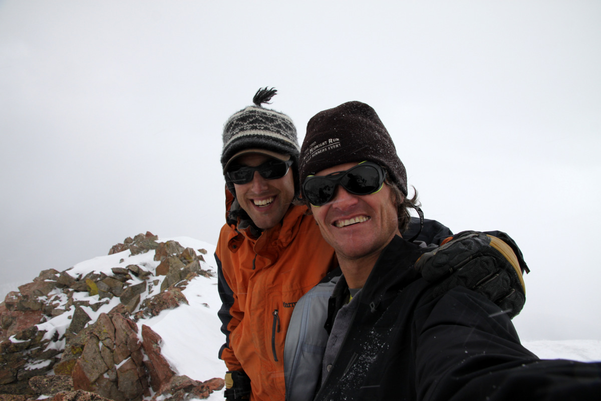
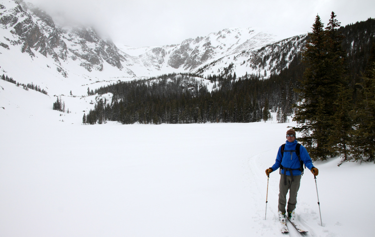
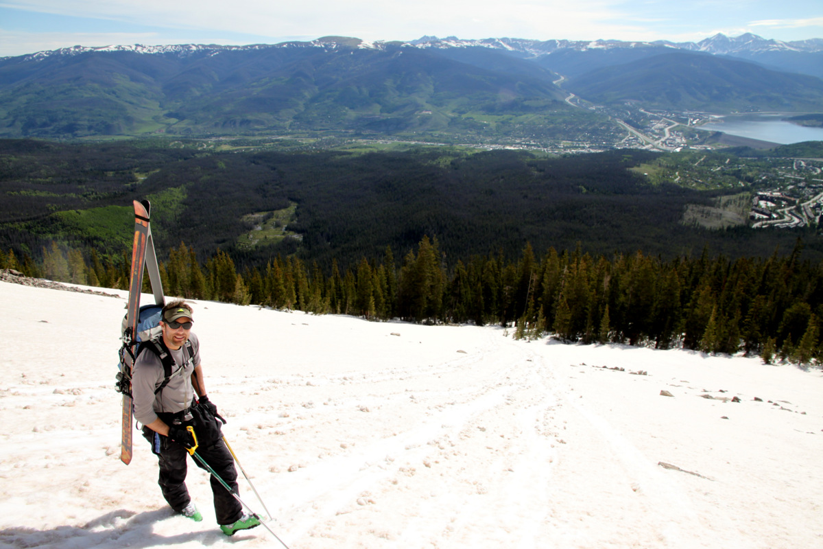
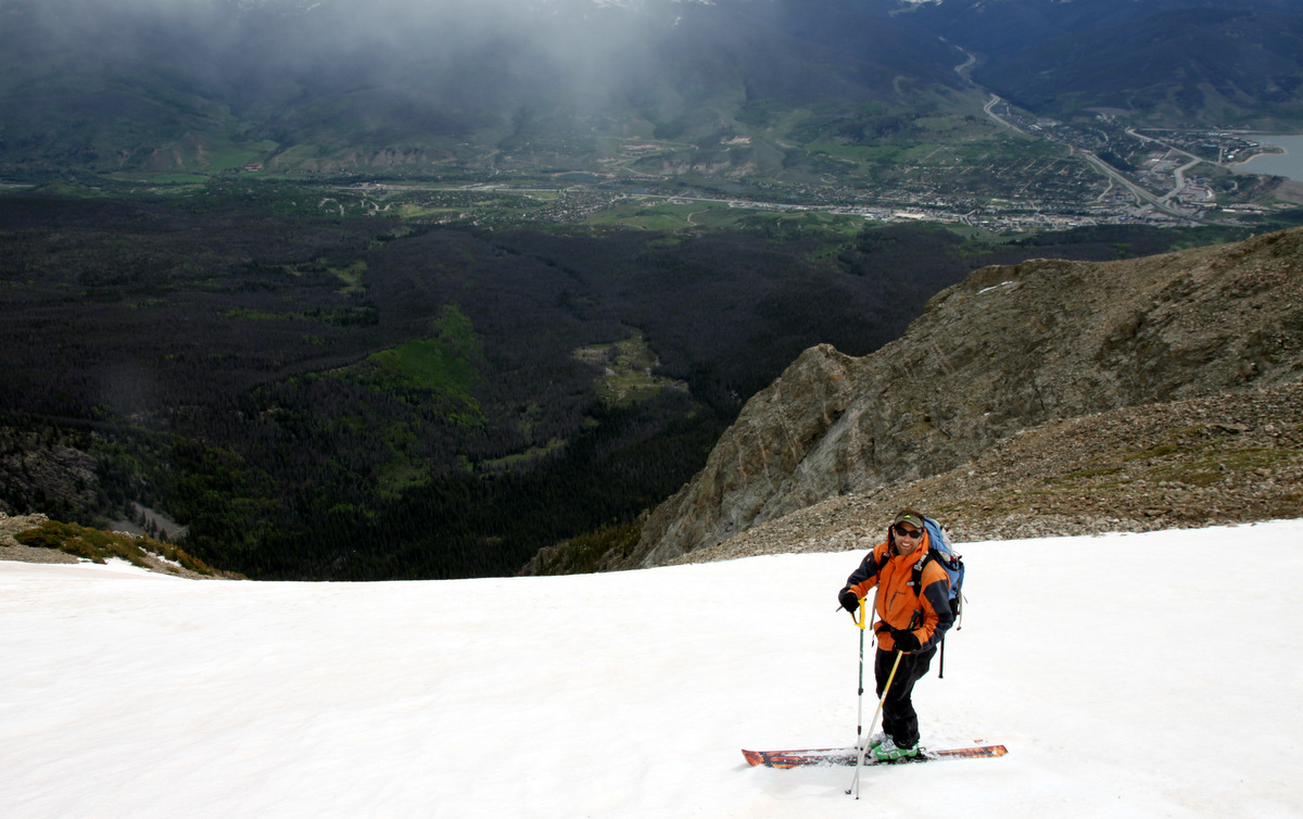
My third time on Buffalo was just yesterday with great friend J Weingast. As he had yet to climb and ski this mountain, the Silver was towards the top of his hit list for the spring and so we went and got it in what may be one of the last weekends of the season it could really be in or for that matter skiable at all. After a cold night and a 7:30am start at the Ryan Gulch trailhead, we took a leisurely pace up the standard Buffalo Cabin trail until we hit snowline at about 10,700′. After my last fumble in the Silver, I definitely wanted to make sure the couloir was properly warmed up enough to allow for soft spring snow conditions and not hardpack ice. We put the skis on our back and booted the rest of the way to Buffalo’s summit up the broad east face.
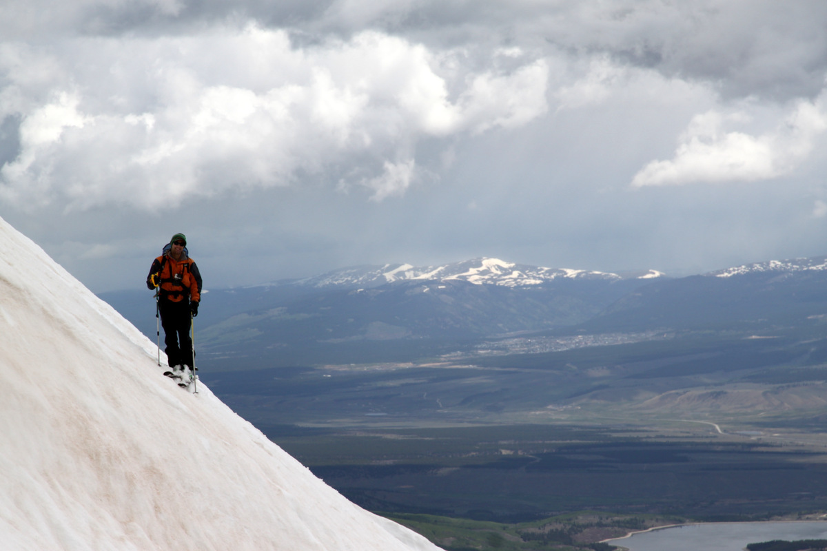
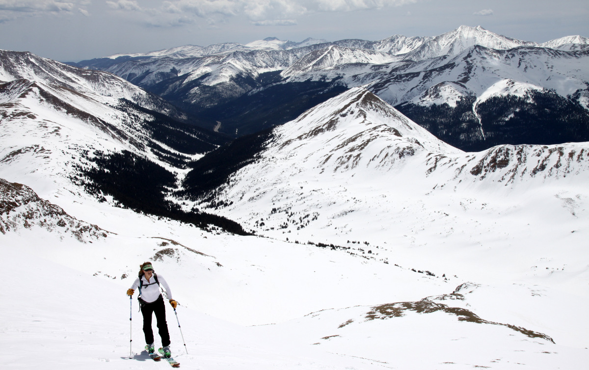
J on the way up Buffalo’s standard route
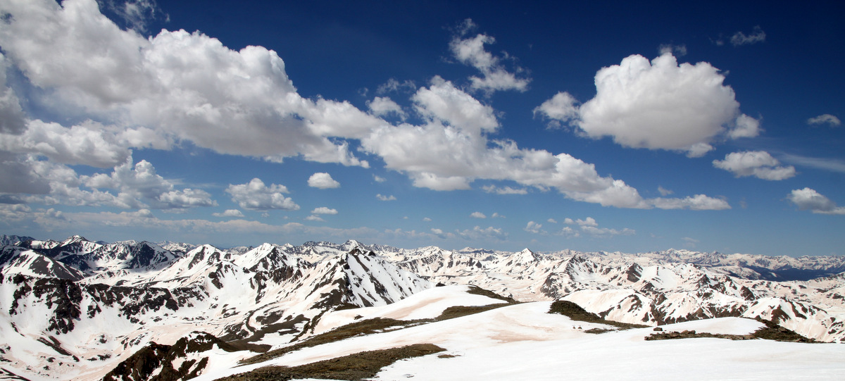
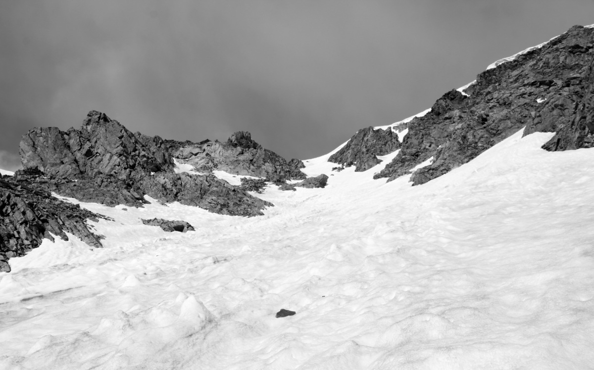
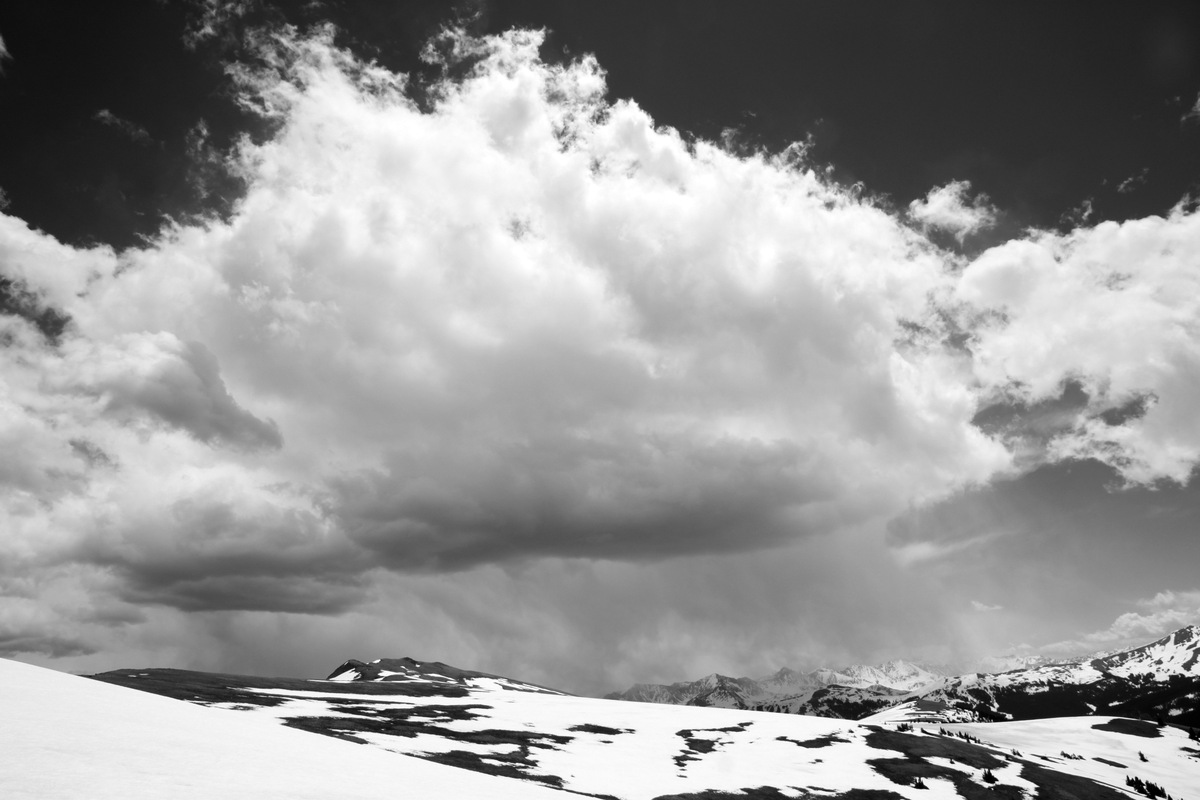
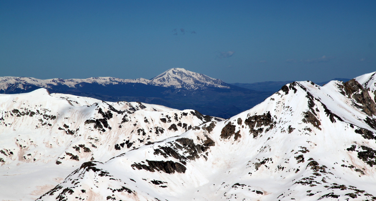
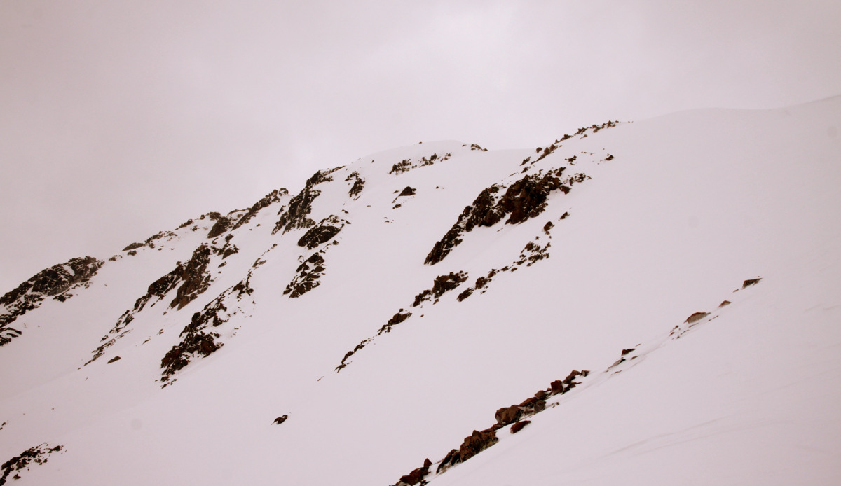
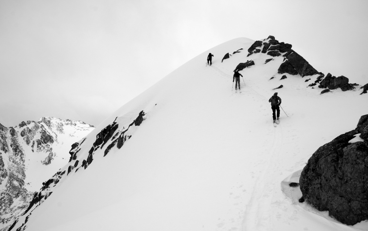
After topping out around 10am, the clouds really started to move in over the Gores yet the Tenmile and Sawatch ranges remained sunny to our south. Go figure. Still wanting to wait a bit for the Silver to soften up even more now that the sun was behind whispy clouds, J and I decided to take a fun jaunt over to Buffalo’s southern subsummit dubbed “Sacred Buffalo”. Twenty minutes and a fun little class 3 scramble later we were on Sacred Buffalo. There were definitely snow showers pelting Red Peak to our north and the wind had picked up. This was not the weather I had anticipated nor had been forecasted.
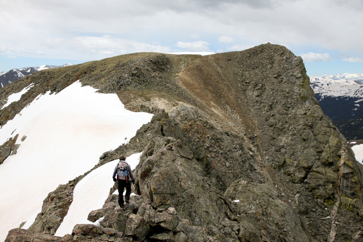
J on his way to Sacred Buffalo
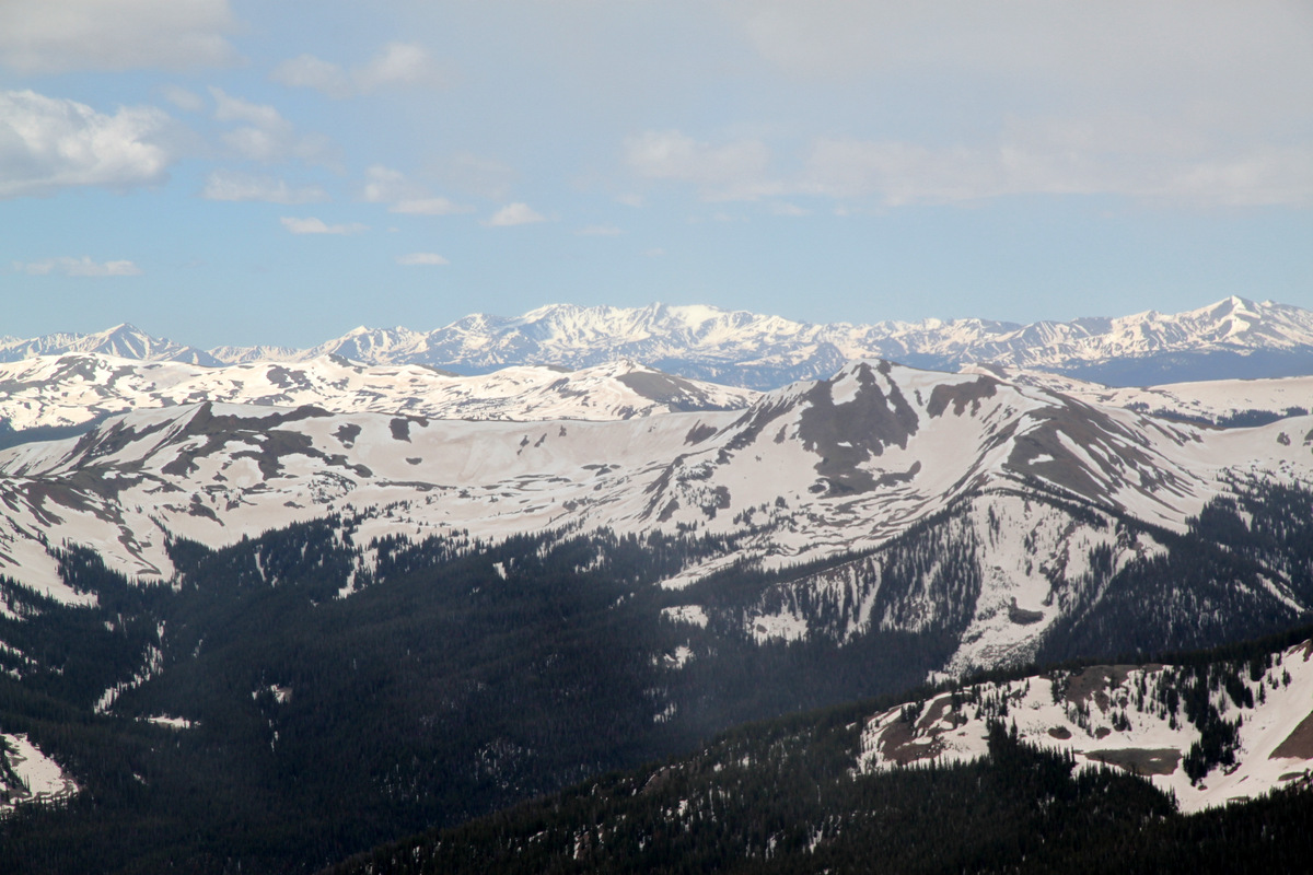
Hmmm….why is there sun over the Sawatch and clouds and snow flurries over us in the Gores 🙂
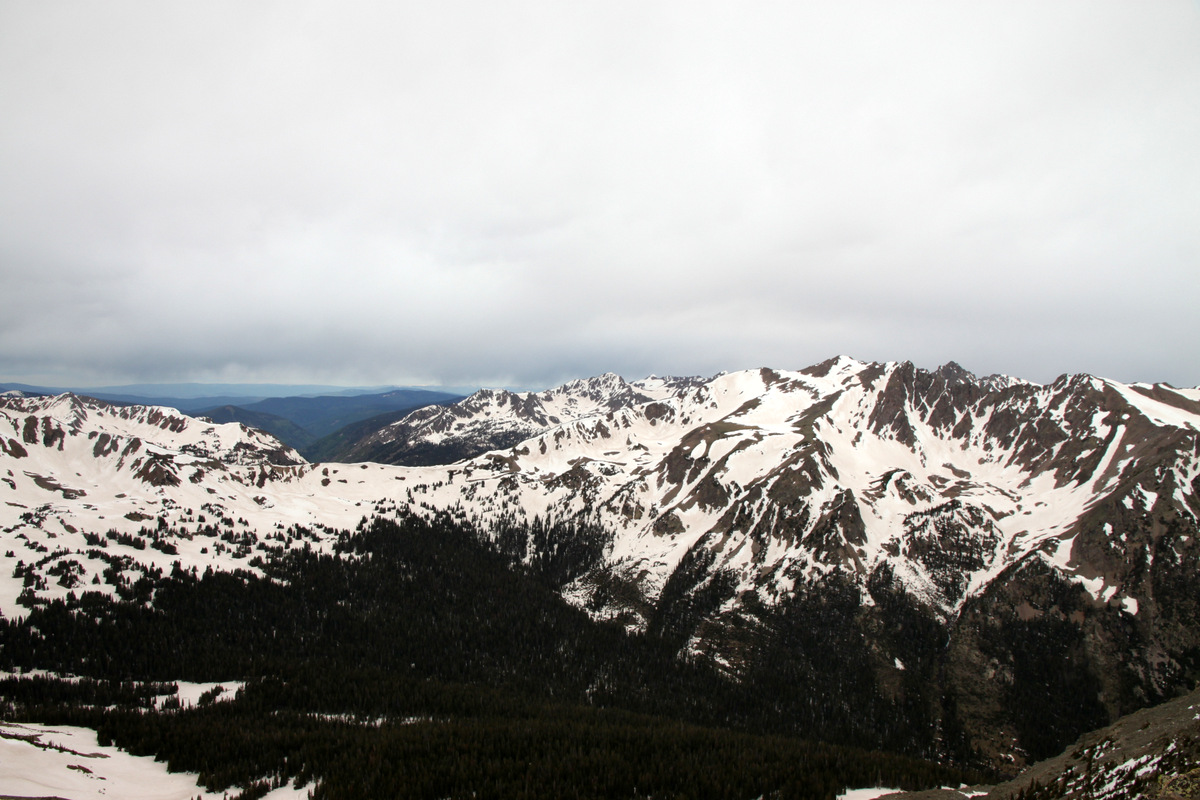
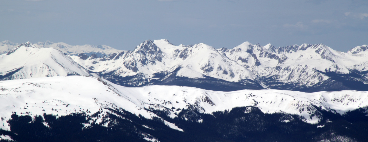
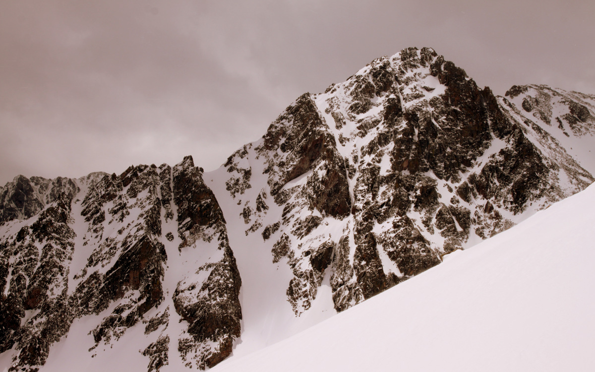
Clouds to the west with Red Buffalo Pass (center) and Red Peak (right) visible

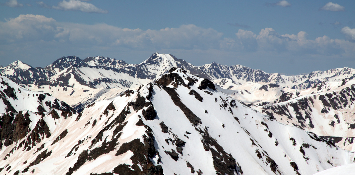
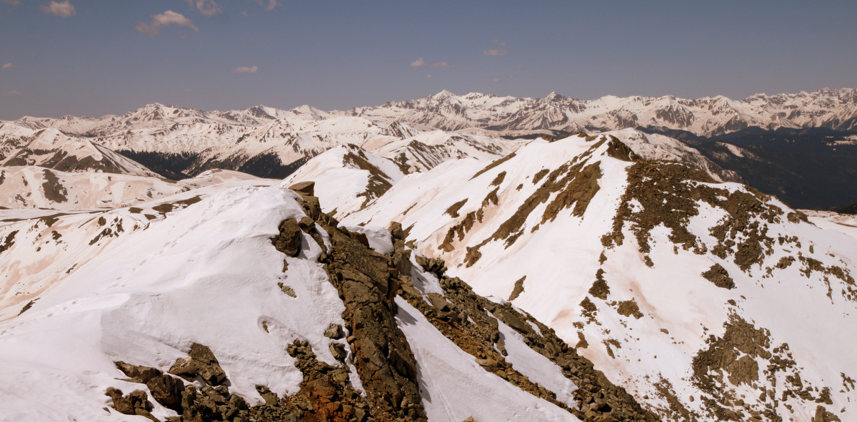
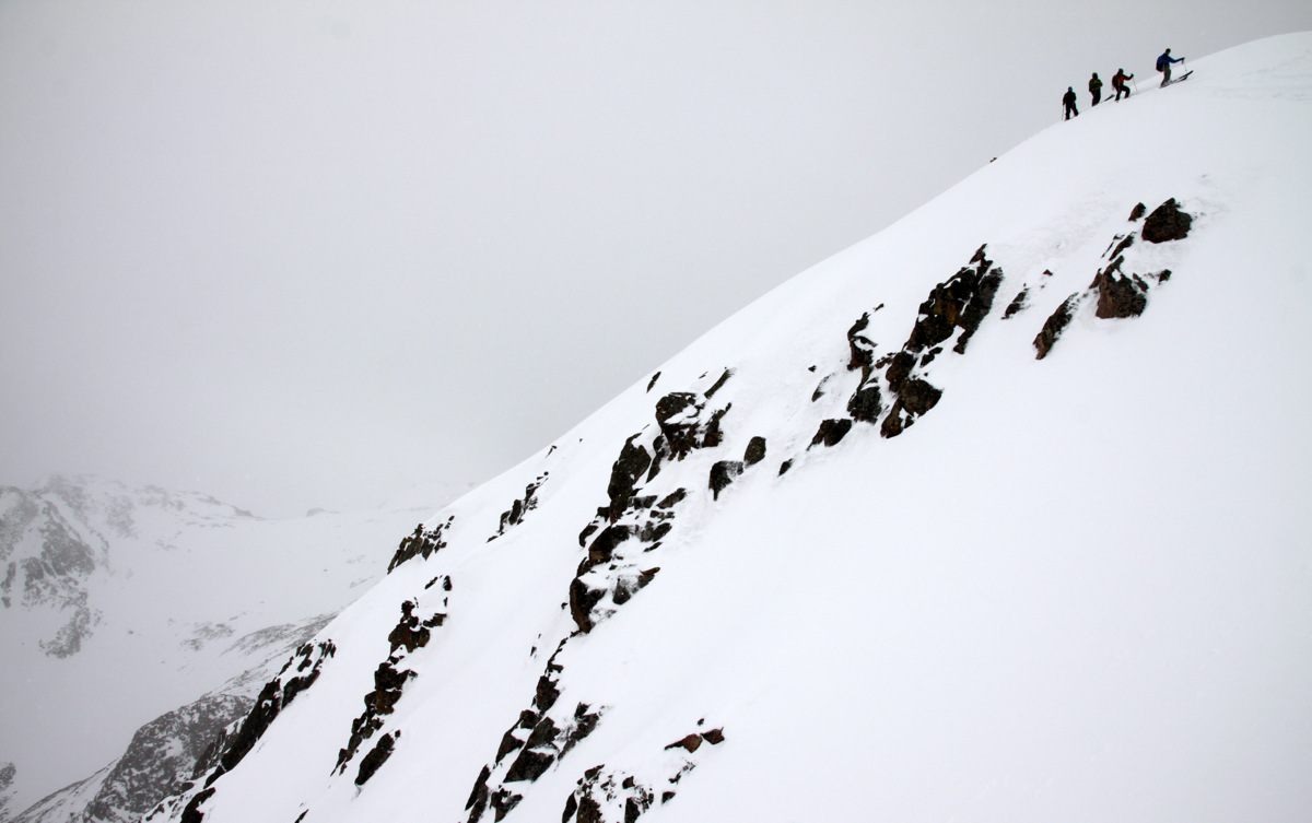
The connecting ridge between Buffalo’s true northern summit and the southern Sacred Buffalo subsummit as seen from Sacred Buffalo
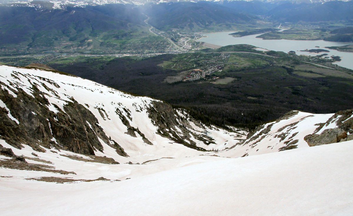
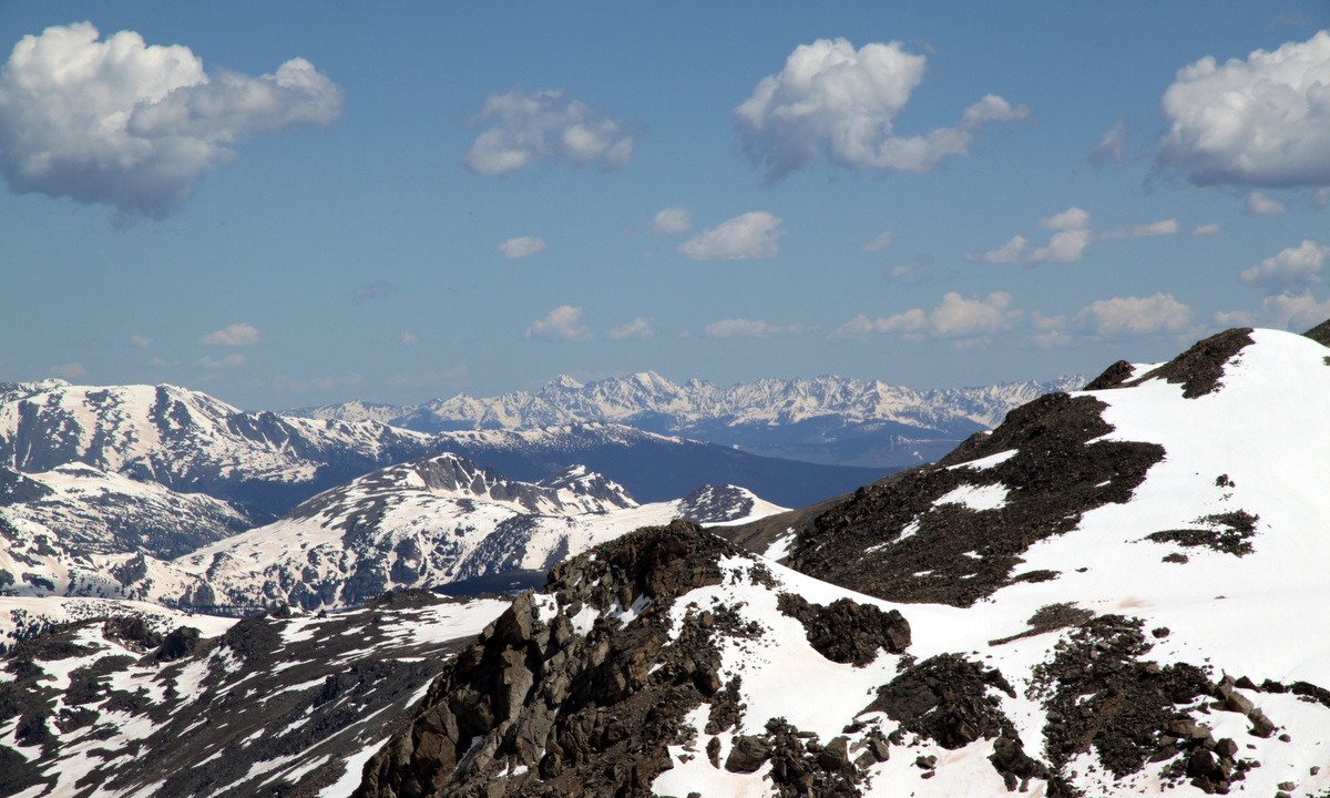
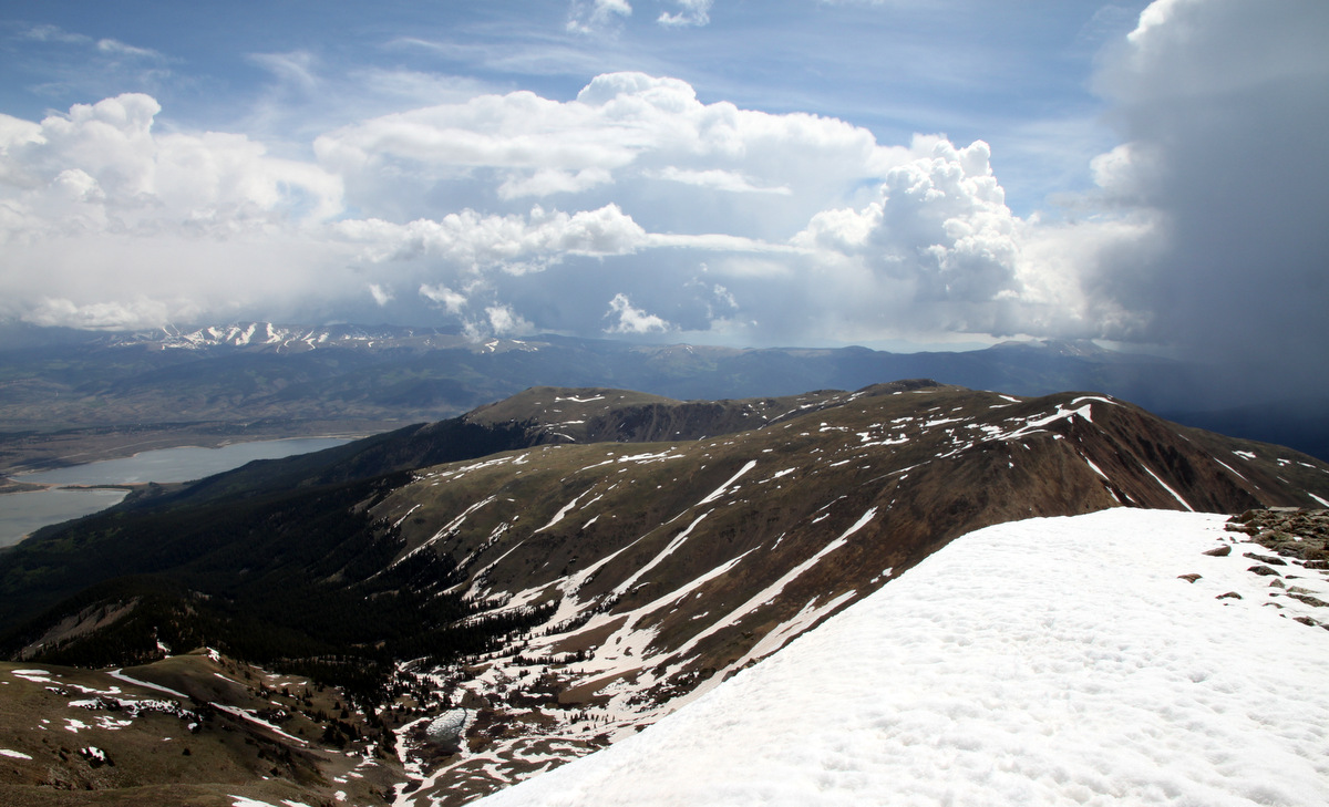
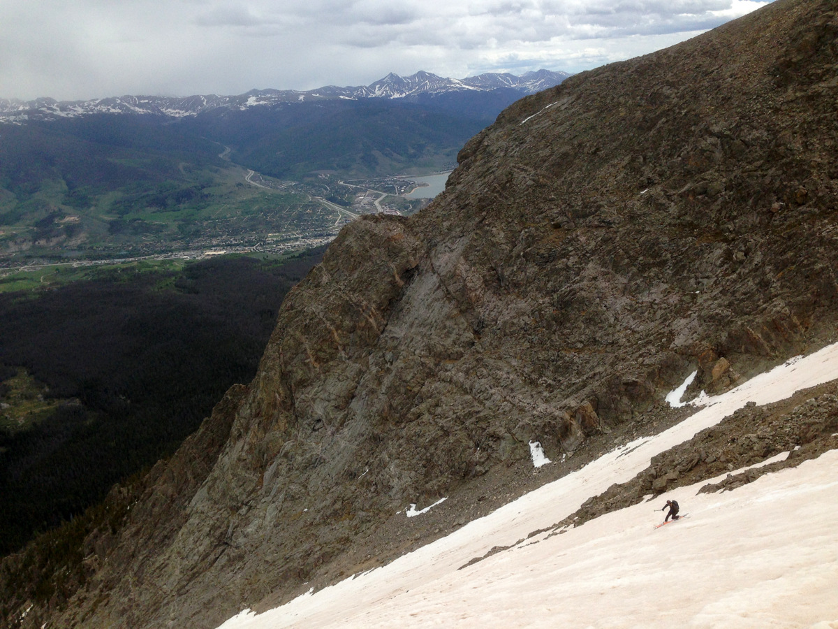
Looking down into the Salt Lick Cirque with Silverthorne and Lake Dillon below

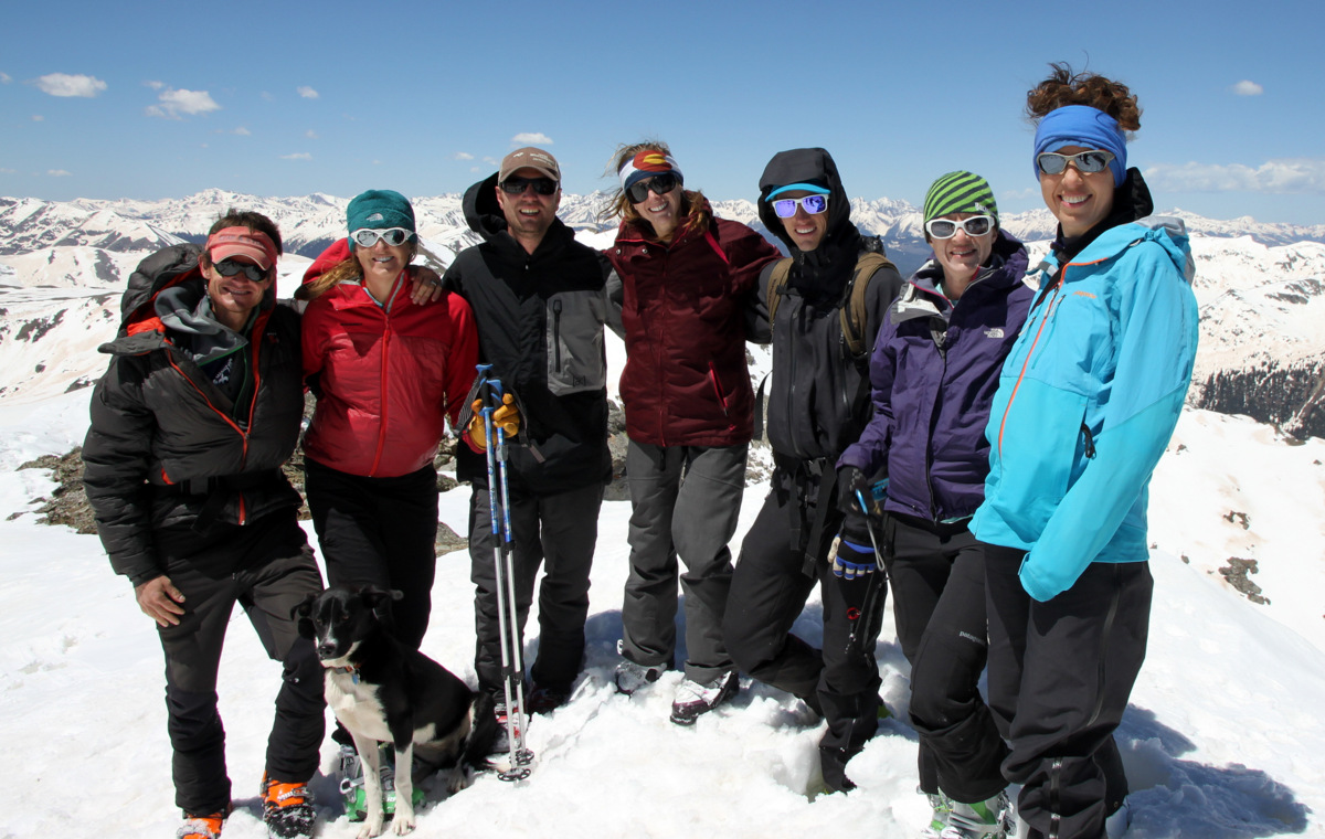
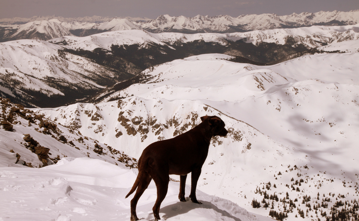
Buffalo Mountain summit (12,777′)
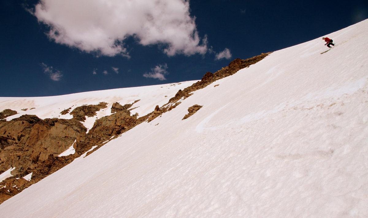
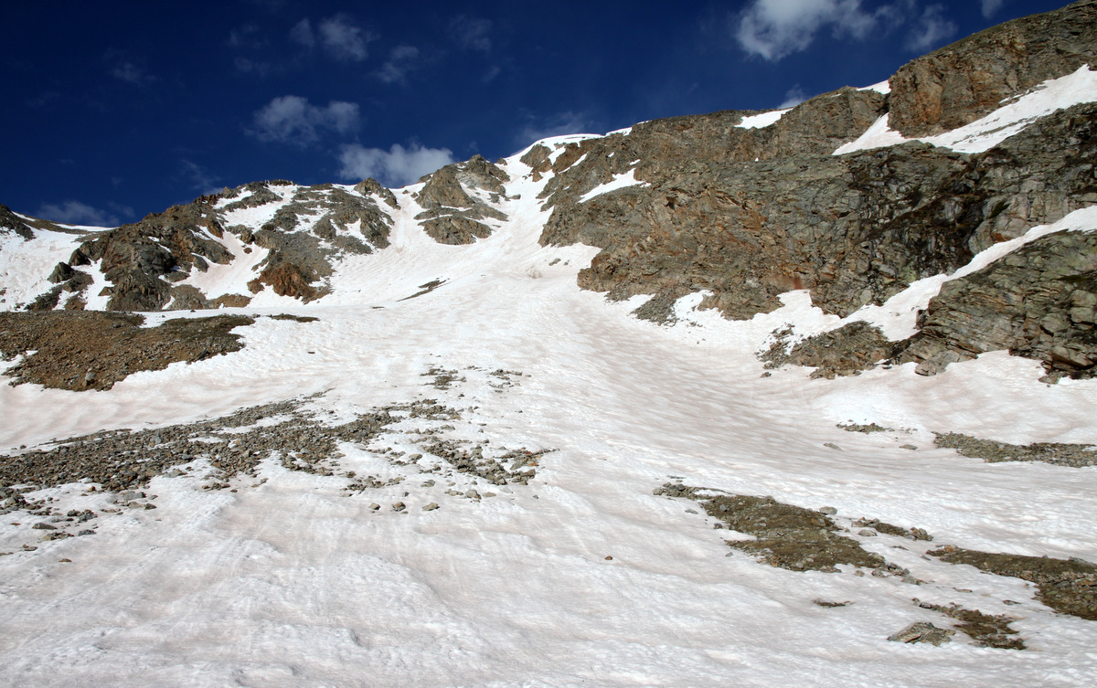
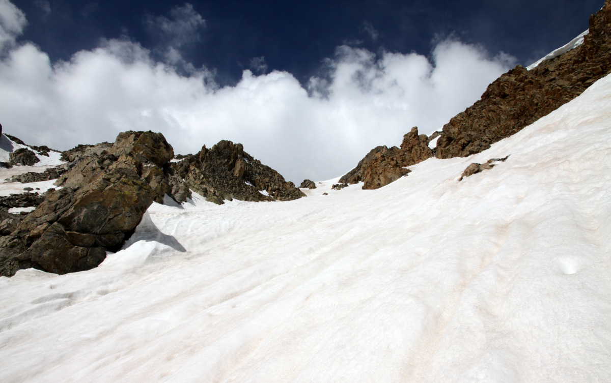
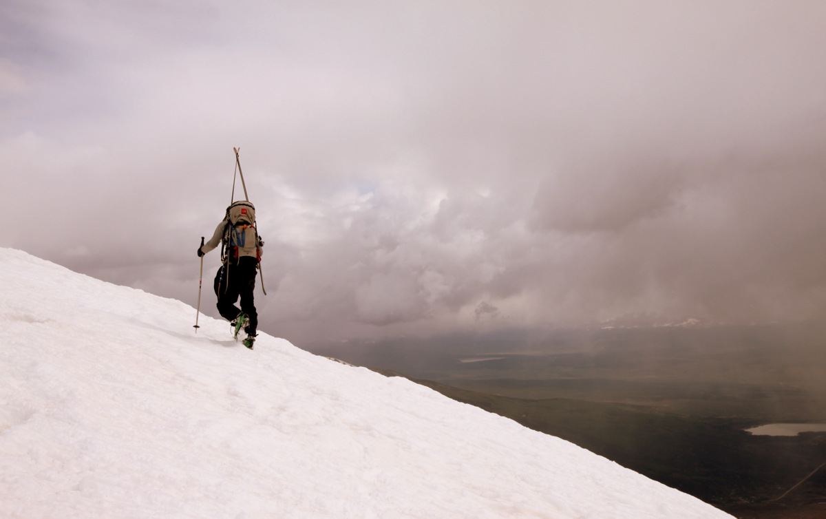
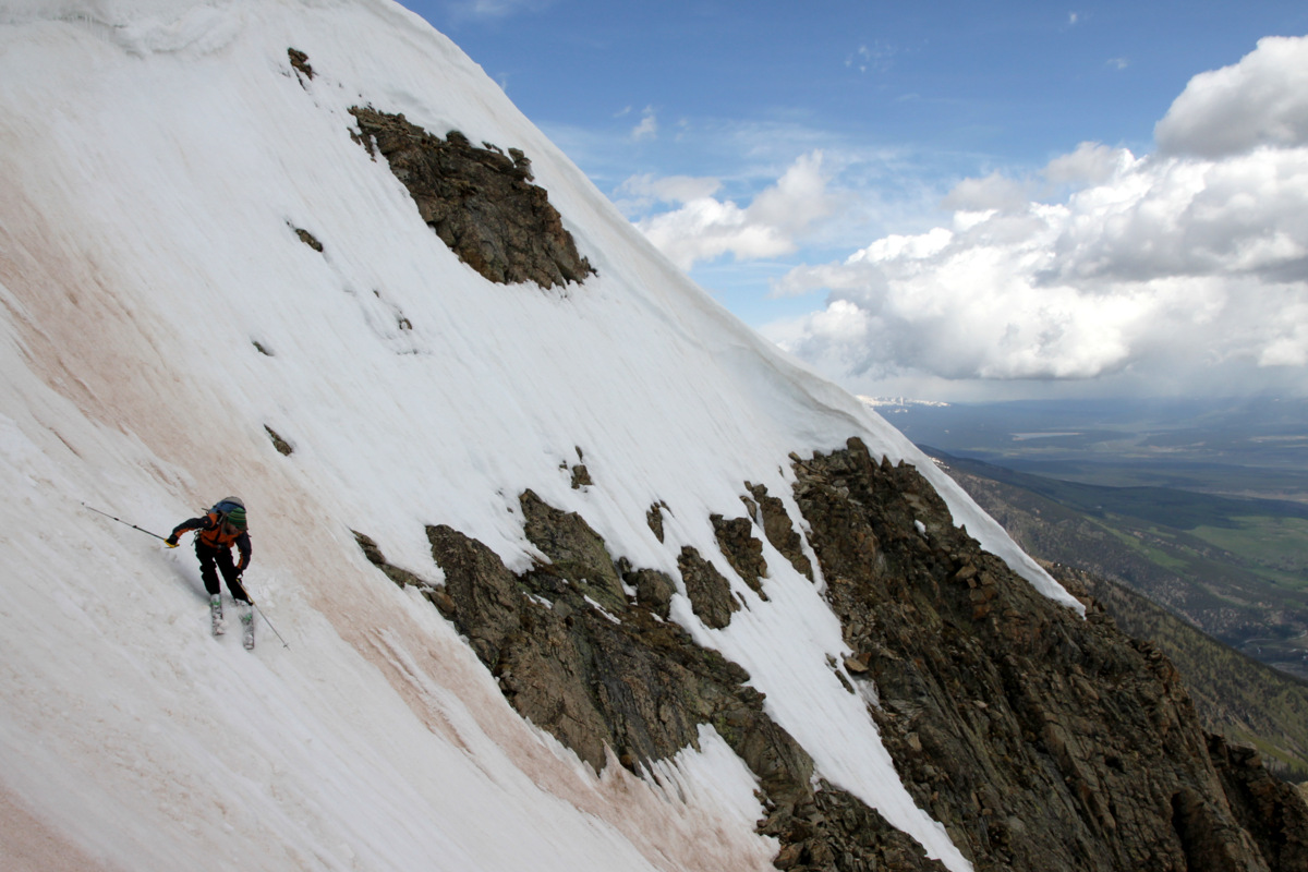
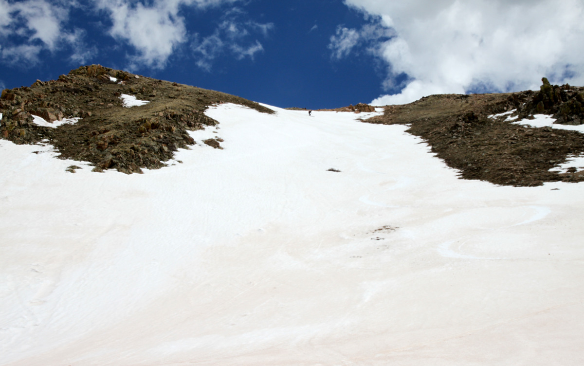
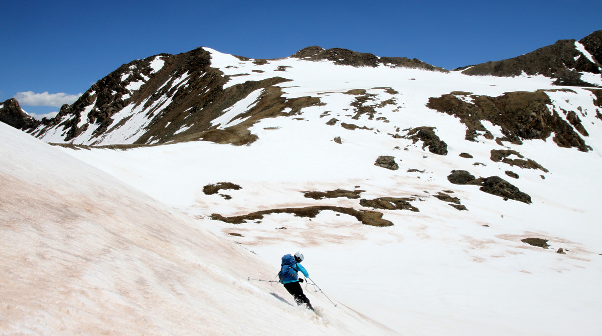
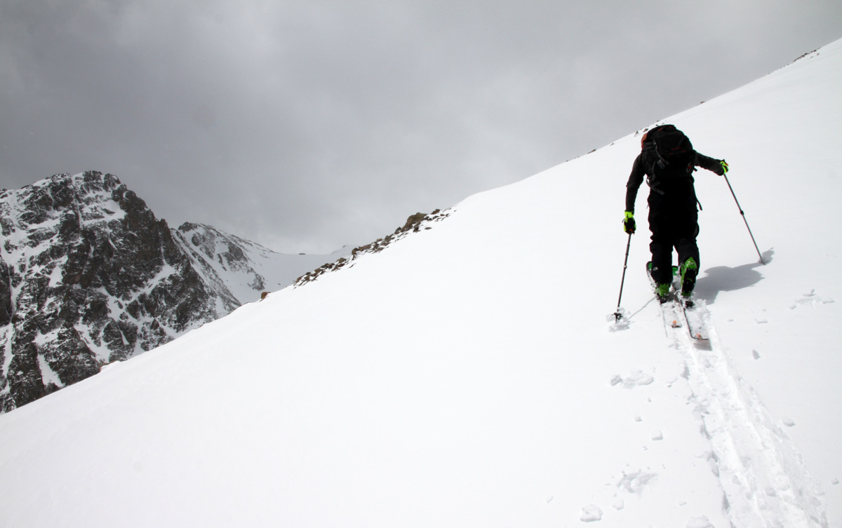
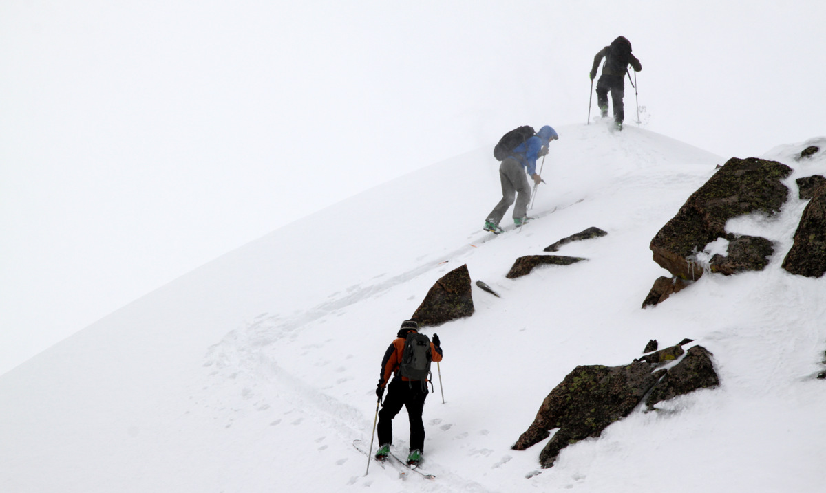
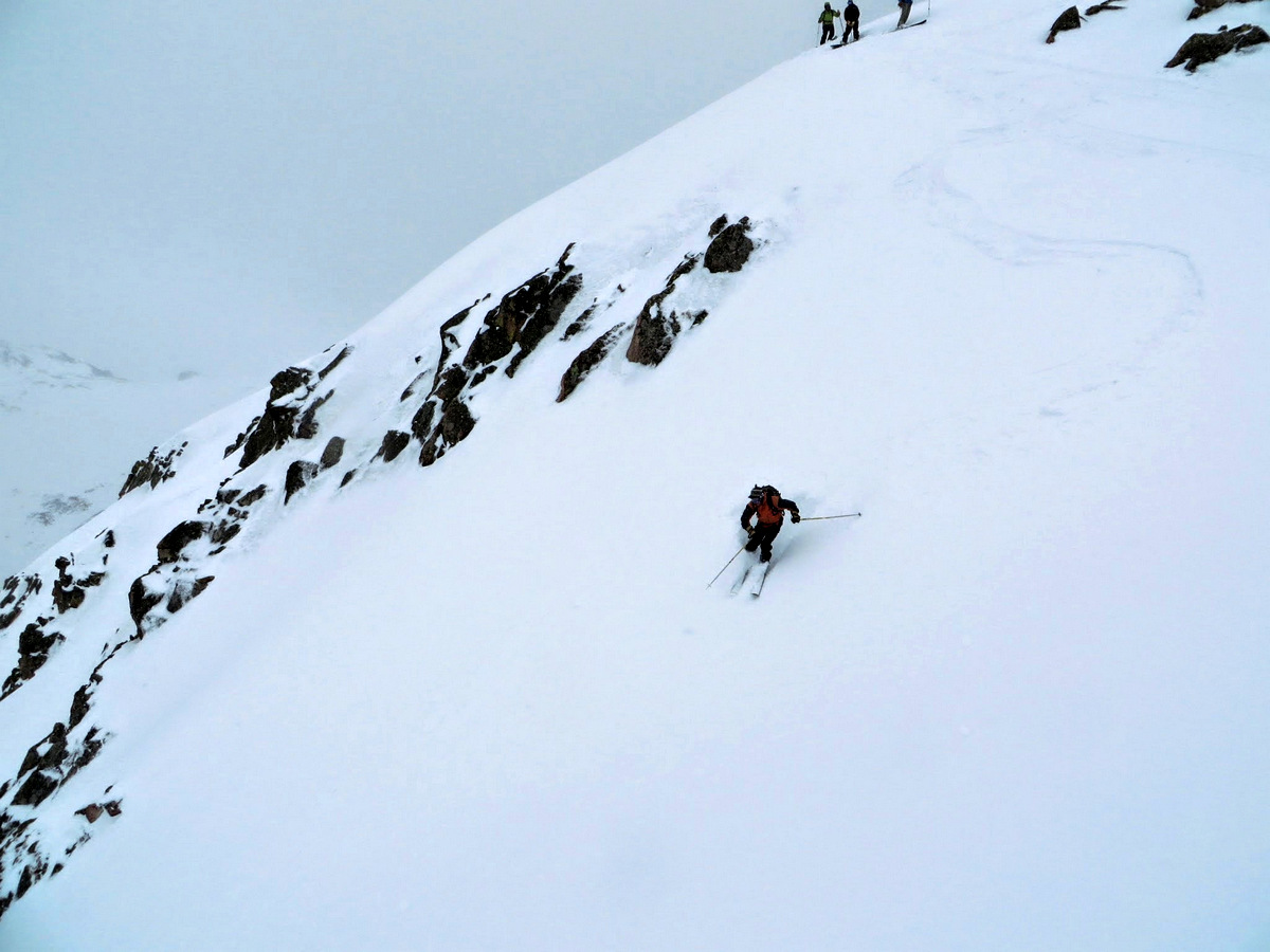
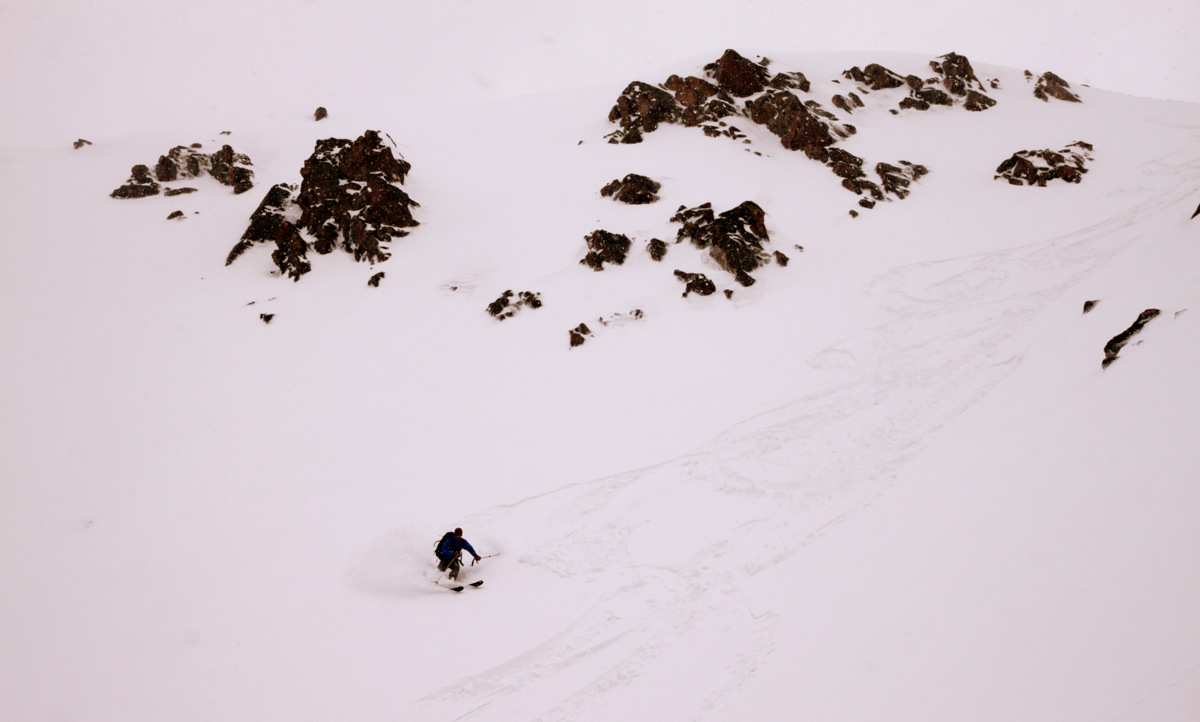
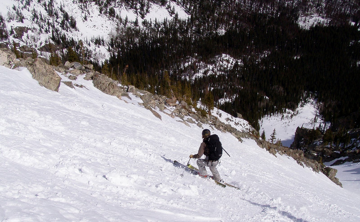
Nevertheless, we scrambled back to Buffalo’s true northern summit and decided to go ahead and ski the couloir. Not really wanting to wait around all day for sunny weather, we just decided to go for it and hoped those few hours of early morning direct sunshine warmed the snow up enough for our liking and to make things safe. The top hundred feet of the couloir were pretty firm and I was thinking if the rest of the couloir was like this I would be in trouble. J would be fine because like many of my friends, this guy can ski anything, anytime, anywhere. As if our wish was granted, the snow softened up soon after and good turns ensued for approximately 1,500′ down the couloir.
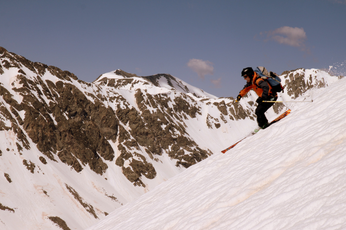
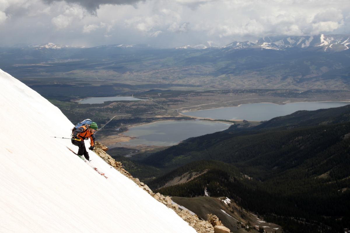
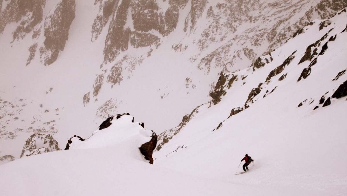
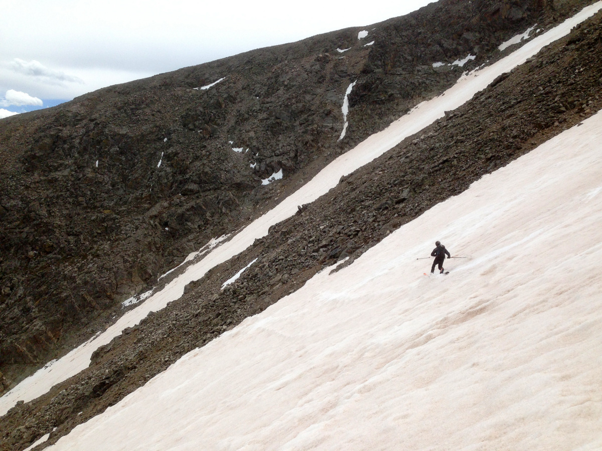
J beginning the descent of the Silver Couloir
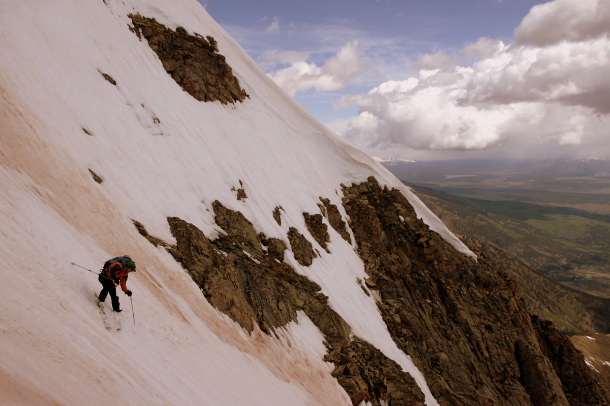
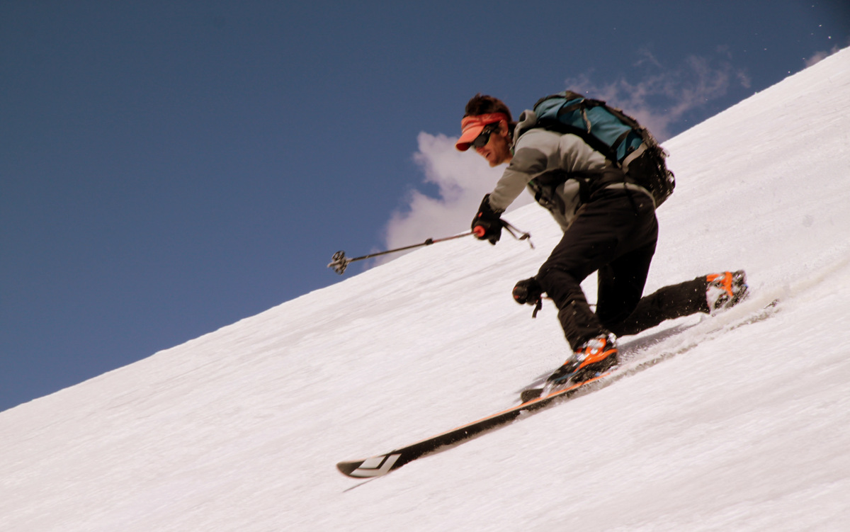
And, he is off to the races…

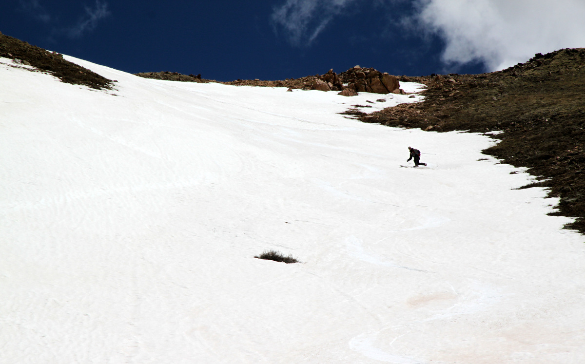
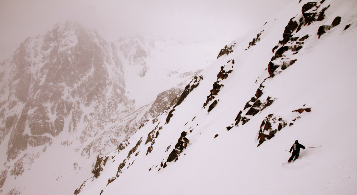
J in soft snow
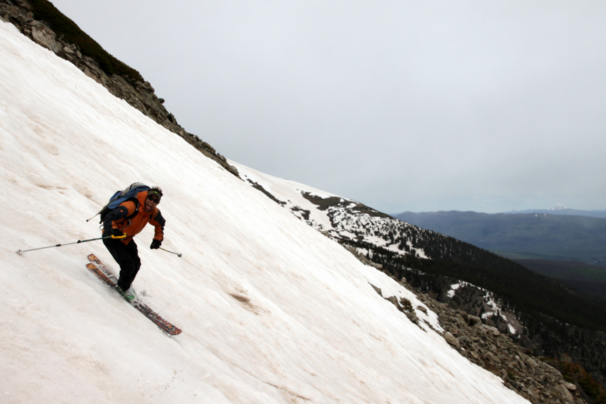
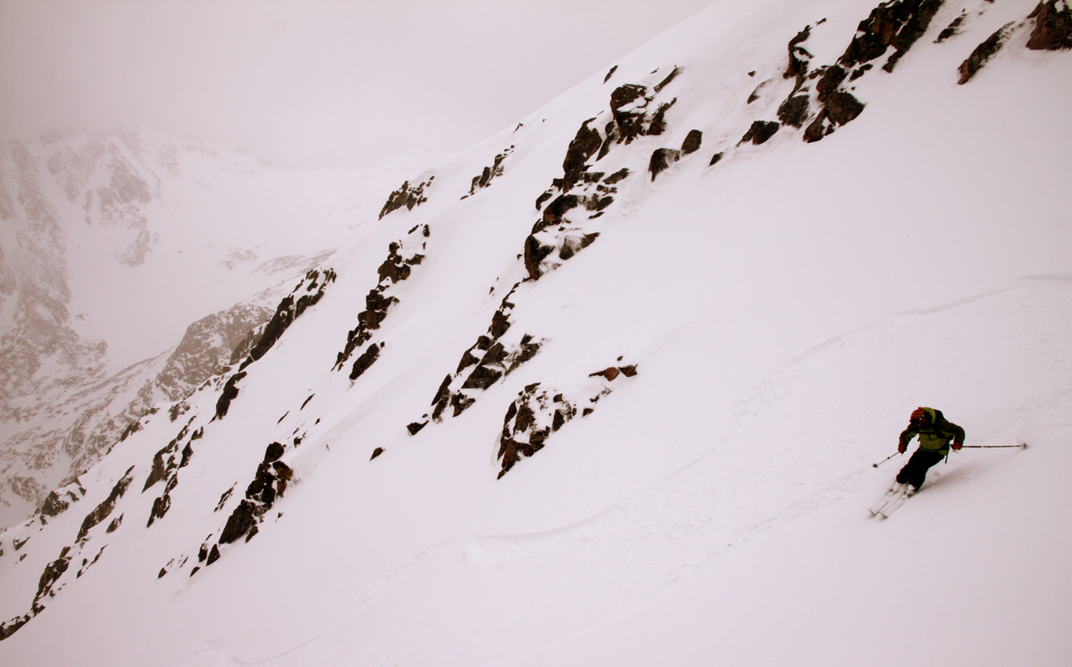
Always having a good time
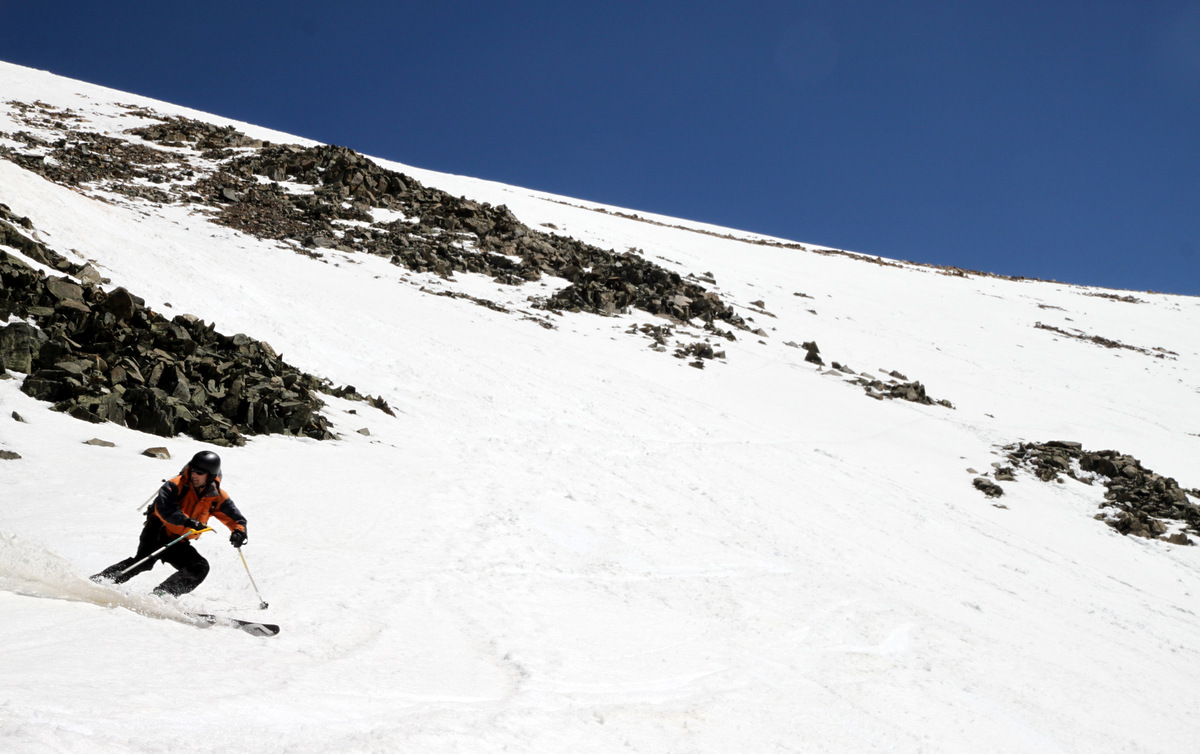
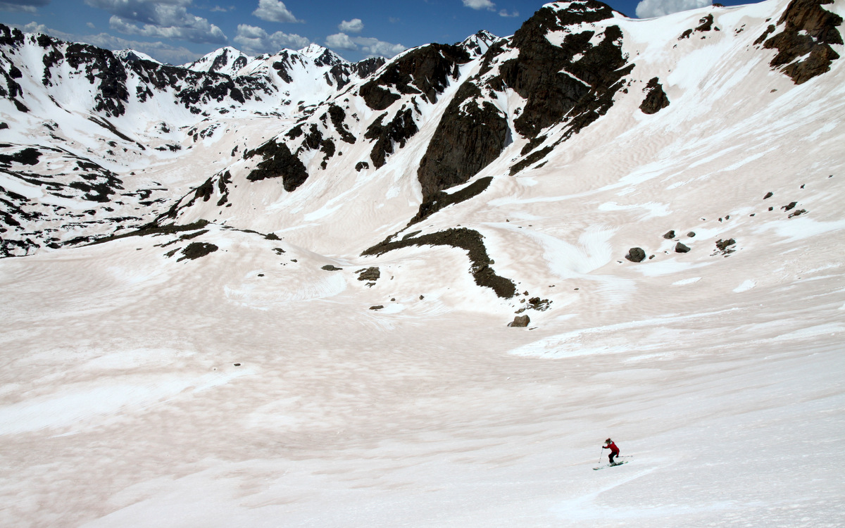
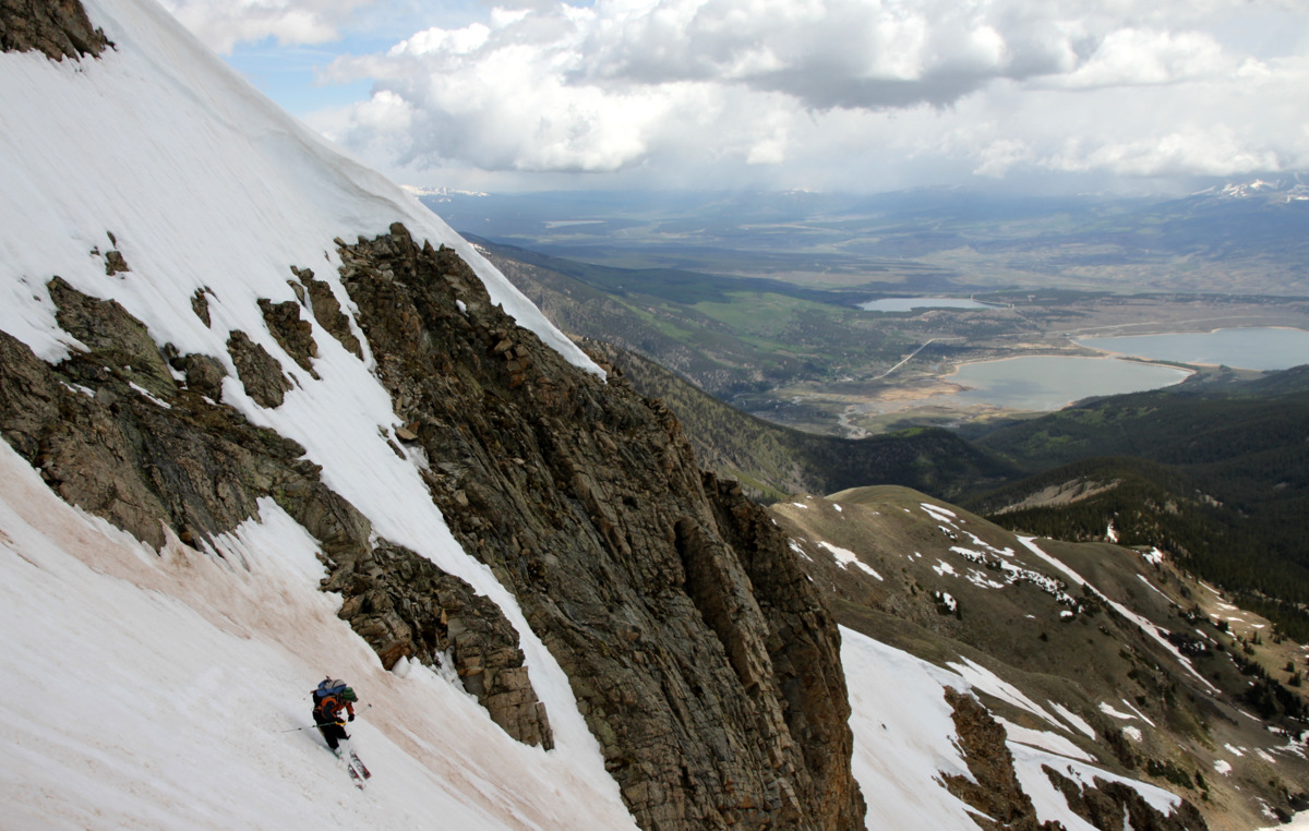
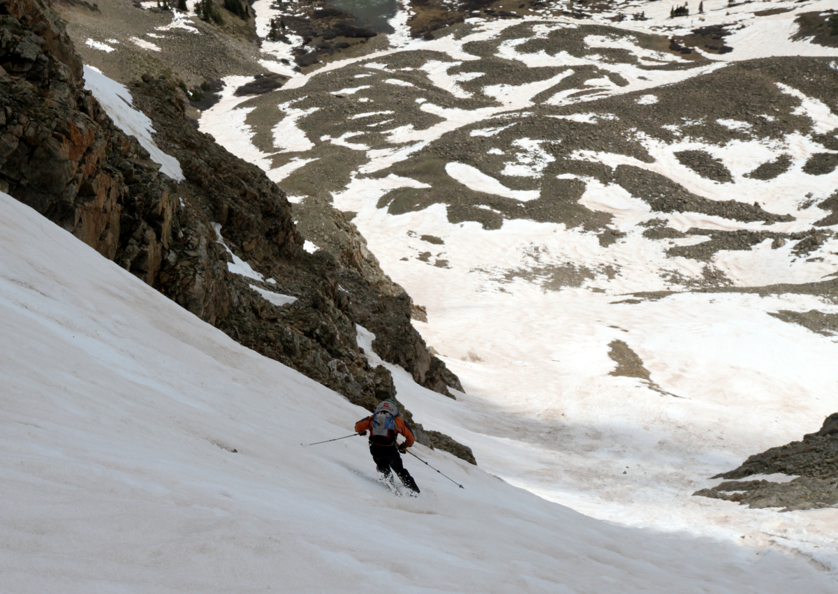
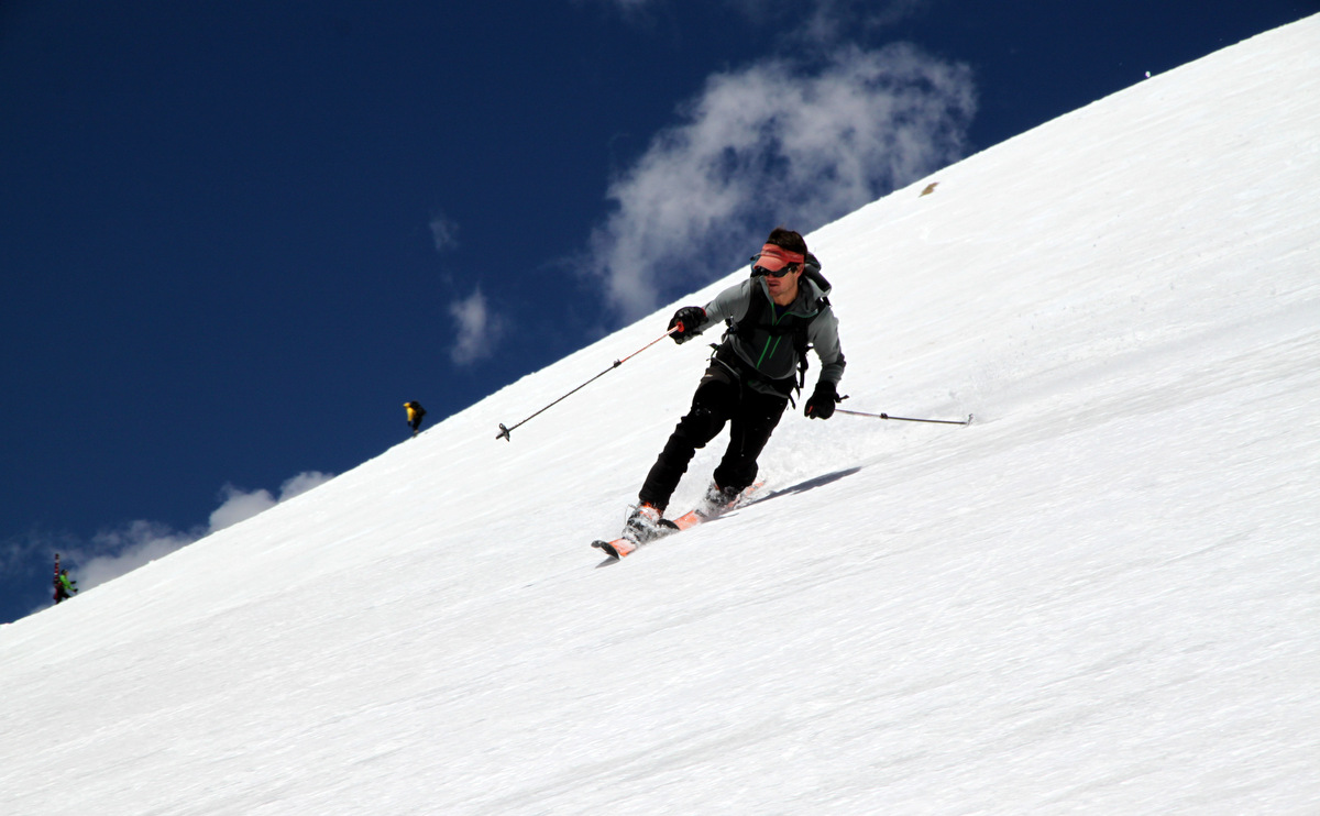
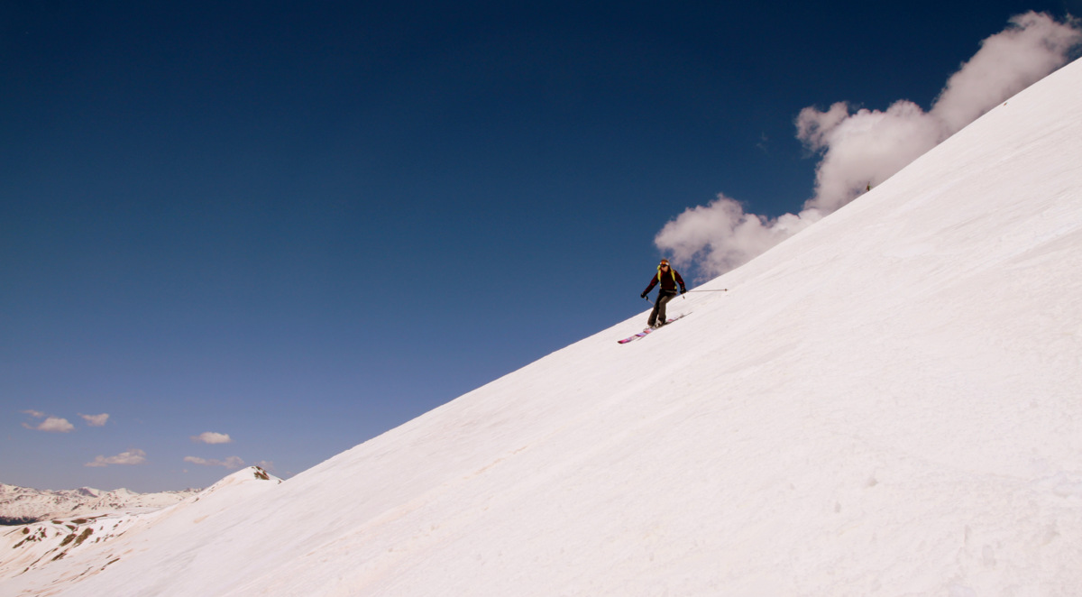
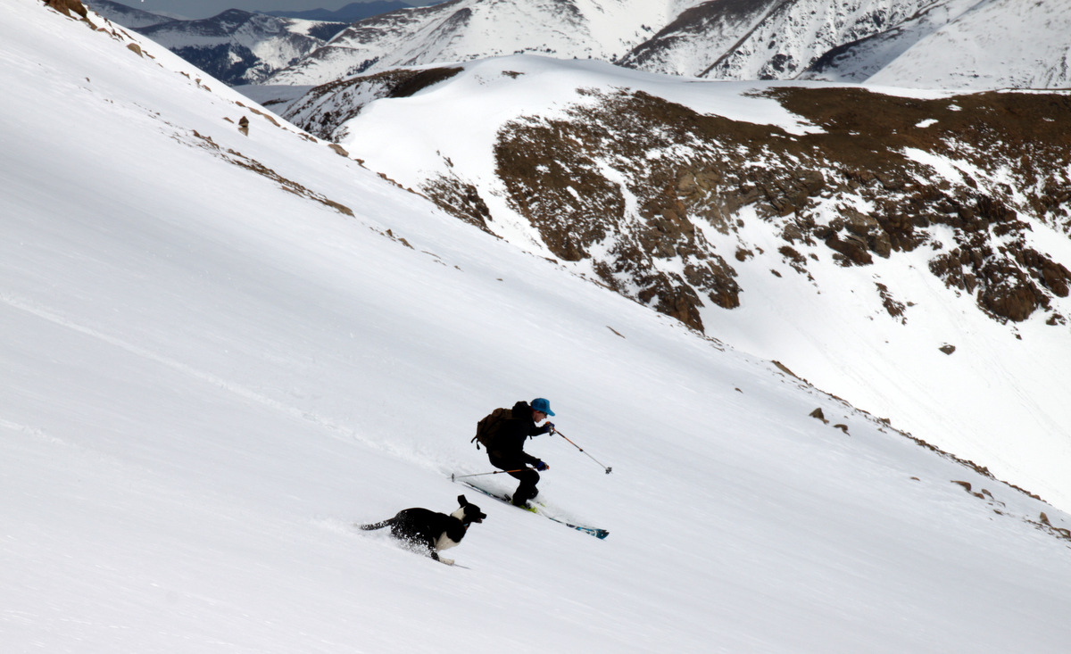
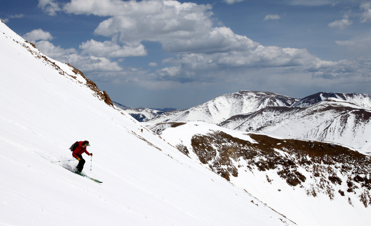
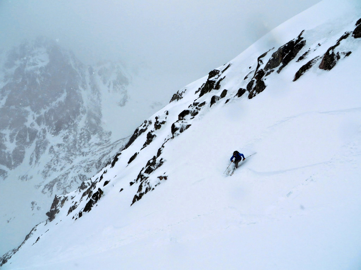
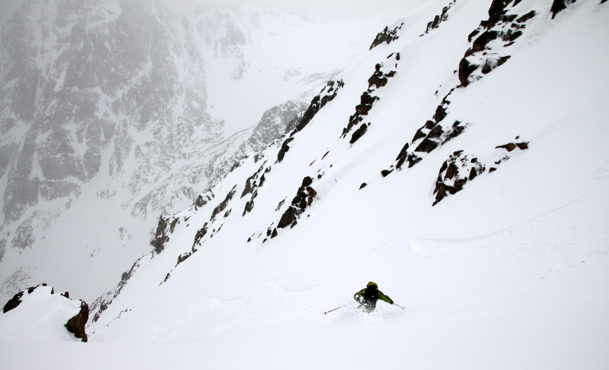
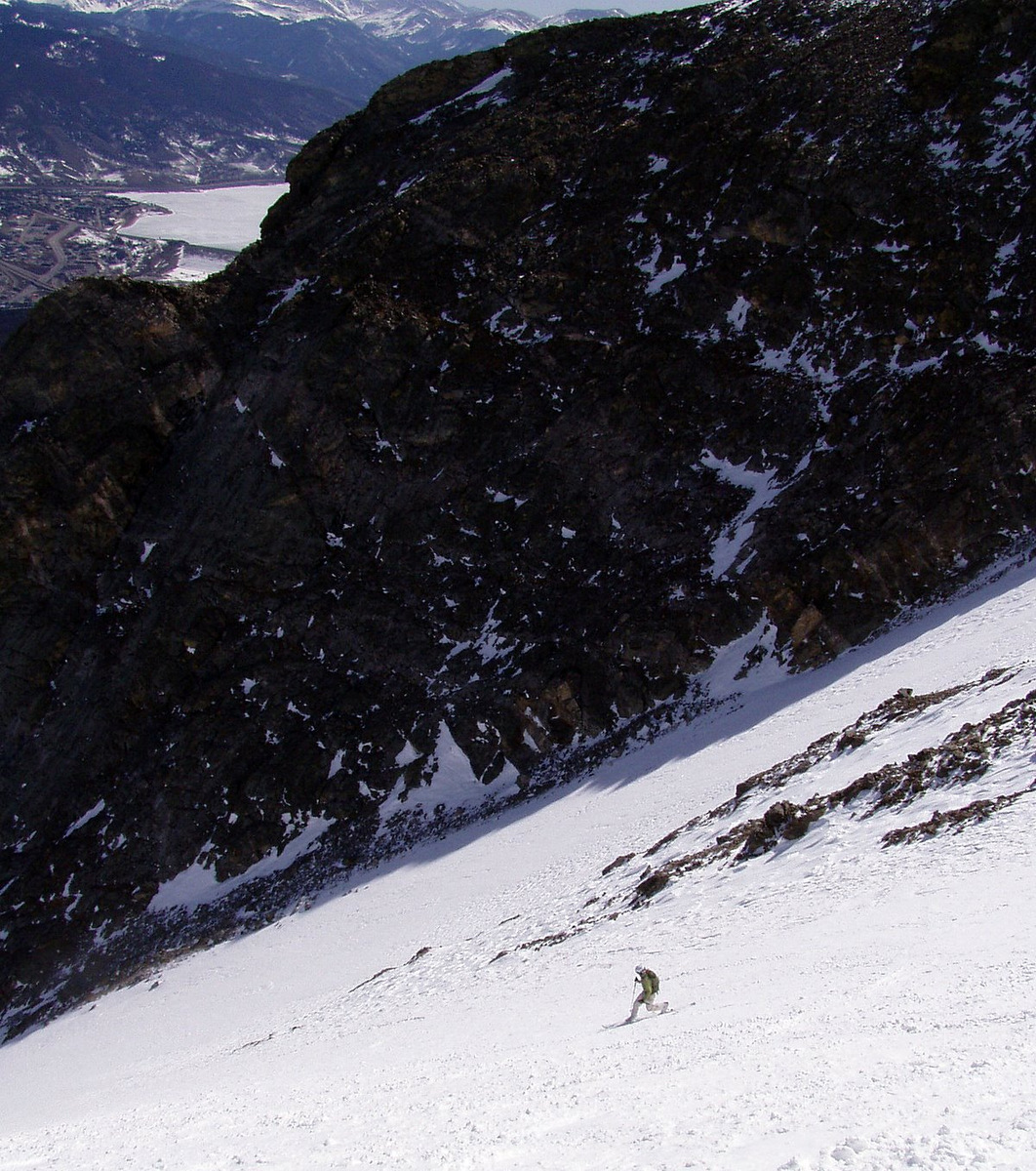
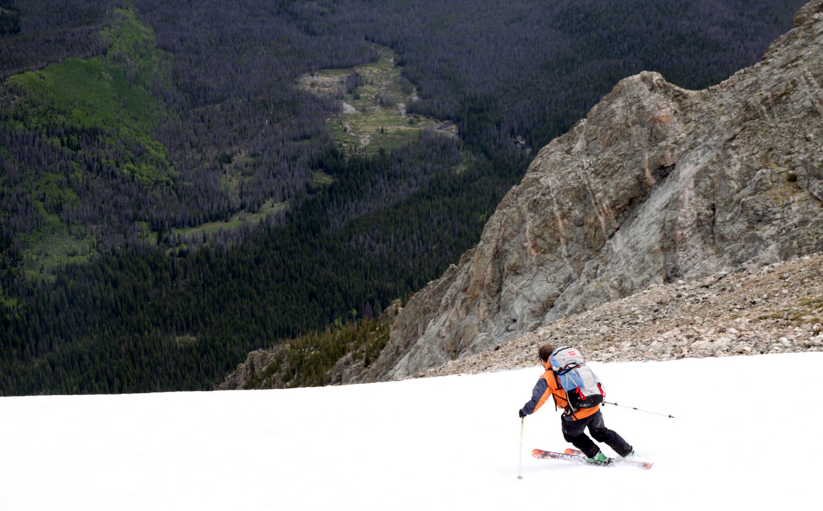
Me in the upper portion of the Silver Couloir
Me having fun in the Silver Couloir amid a scenic backdrop
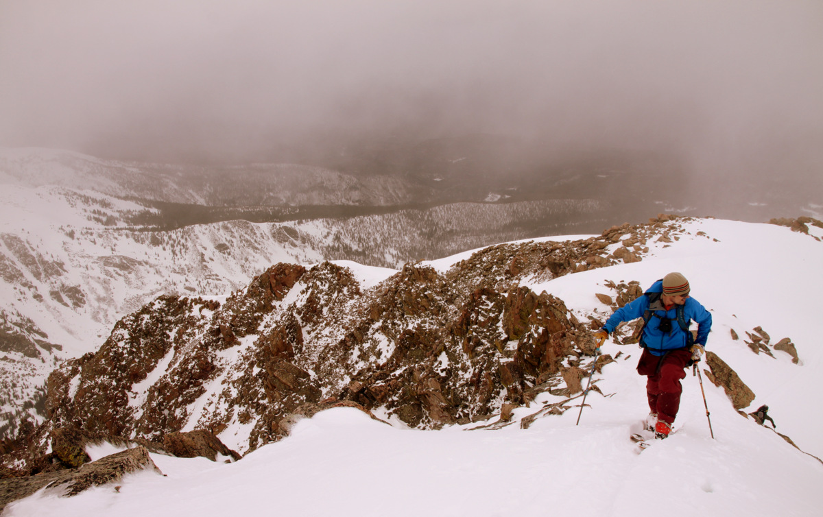
The bottom 1,000′ weren’t the best snow conditions – bumpy, dirty, sun-affected, and a few rocks thrown in the mix to dodge around. And, then the couloir’s apron itself was just plain horrible. However, the apron didn’t last long and soon enough we swapped skis and boots for our trail shoes and made our way back to the South Willow Creek trail and then eventually back to my truck at the trailhead around 12:30pm. A fun 5 hours up on Buffalo with J. Its been a fun ride up and down this mountain over the years learning important lessons along the way. If I’m lucky and my timing is right, I do hope to ski the Silver Couloir in powder conditions at some point.
 Follow