The Coin Slot & Bald Mountain

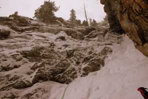
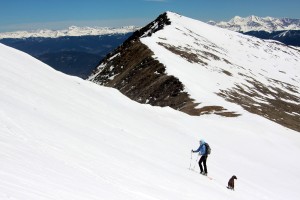
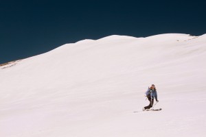
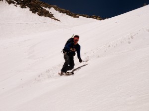
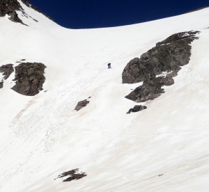
The weather forecast this past Saturday was for snow showers and cruddy weather in general which would make any higher alpine pursuit above treeline fairly unpleasant. J and I attended our friends Ben Conners & Brian Miller’s new book presentation in Edwards on Friday night. Their new book, Climbing and Skiing Colorado’s Mountains: 50 Select Ski Descents, is a wonderful addition to any ski mountaineer’s collection of books and knowledge. These two very accomplished ski-mountaineers put forth a lot of effort with this book and it really showed. Its a spectacular book ranging from beginner ski descents like Quandary’s east face to the extreme such as North Maroon Peak’s north face. Plus, Brian gives his expert recommendations on where to eat after each climb and ski descent, which is just about as important as the adventure itself. The next morning Ben, Brian, J, myself, and Rick Thompson all met at the Mt. Royal trailhead in Frisco at 8am to give this nifty little ski line dubbed The Coin Slot a solid attempt. This ski line is at or below treeline in order to avoid any harsher weather and wind on this day and is also north facing so it should hold better snow being not nearly sun-affected as other aspects. The Coin Slot just simply sounds like a fun adventure down the steep north side of Mt. Royal to looker’s right of the 1,500′ rock climb called The Royal Flush, which we have climbed a few times. Additionally, there is a 50 ft rappel into the 45 degree chute, so what’s not to like?!

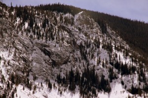
The Coin Slot as viewed from I-70

The Coin Slot as viewed from I-70

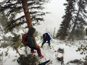
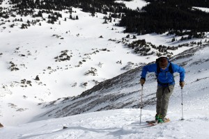
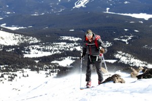
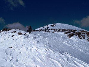
We met Ben & Brian’s friend Elliot Halverson, a very knowledgeable and accomplished ski-mountaineer, who skinned up the Mt. Royal trail with us and showed us where to go for The Coin Slot. Elliot’s crew then went on to ski a supposed new line down Mt. Royal’s north face. The 1,500′ skin went by pretty fast and once we hit the ridge the wind and weather was pretty intense. We quickly donned harnesses and put the skis on the packs and descended steep and loose slopes for a few hundred feet to the rappel point. We unpacked my two 8mm/30m ropes, hitched them together, and slung it through the webbing and rap anchors already in place around the tree.

Me setting up the rappel

Me setting up the rappel. Photo by Ben

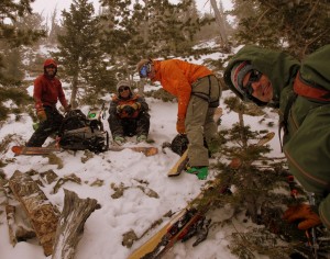
Left to right at the rappel point: Rick, J, Ben, & Brian

Left to right at the rappel point: Rick, J, Ben, & Brian

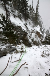
Looking down the rappel

Looking down the rappel

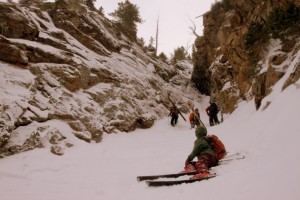
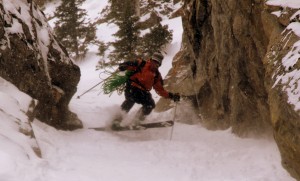
The boys then insisted I go first (probably because we all knew I would be last on the ski down since I am a telemarker and the fact that J, Rick, Ben, and Brian can just plain rip on skis). I made the rappel into the steep chute and set up myself to get my skis on my feet, probably the hardest task for me this day. The boys came down after me (Brian rappelling with his skis on his feet, which was interesting yet efficient) and we all proceeded to ski the steep chute one at a time. J said it was the tightest chute he has ever skied. I would bet so considering at its choke its probably only 6-7 ft wide. Let’s just say I wasn’t making telemark turns in this narrow chute. Anyway, it was a really fun adventure down a steep, narrow line on the north face of Mt. Royal. Enjoy the pics:

Brian on rappel with his skis on his feet

Brian on rappel with his skis on his feet

Everyone in the chute now

Everyone in the chute now

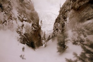
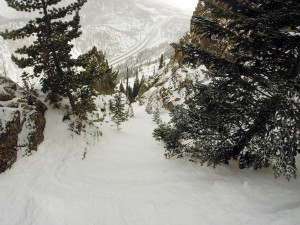
Looking down The Coin Slot to I-70

Looking down The Coin Slot to I-70

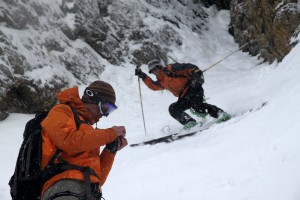
Ben (left) and J (right)

Ben (left) and J (right)

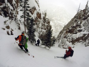
Left to right: J, me, & Rick. Photo by Ben

Left to right: J, me, & Rick. Photo by Ben

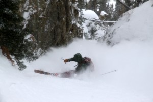
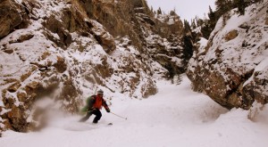
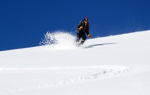
Brian slashing and spraying his way down the narrow chute

Brian slashing and spraying his way down the narrow chute

Ben's turn

Ben’s turn

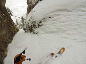
Ben's point of view down the narrowest portion. Photo by Ben

Ben’s point of view down the narrowest portion. Photo by Ben

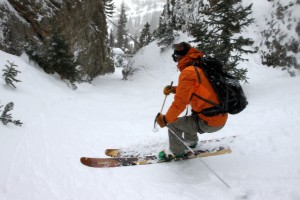
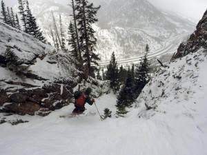
J coming down

J coming down

J doing his jump turns down the narrowest portion of the chute

J doing his jump turns down the narrowest portion of the chute

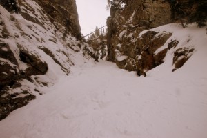
The remaining portion of the steep chute after the very narrow section. Photo by Ben

The remaining portion of the steep chute after the very narrow section. Photo by Ben

Brian on the descent. Photo by Ben

Brian on the descent. Photo by Ben

J on the lower section

J on the lower section

I was actually really looking forward to skiing the much more open and lower-angled apron, but the conditions were so variable (breakable crust to powder) that it was survival skiing at its worst. We all regrouped at the cars and were going to take another lap down the J-Chute or something similar but the southeast facing snow conditions below treeline were atrocious in that I would rather just hike down than take skis back up. So, we called it a day and went into Frisco and ate lunch at Lost Cajun as recommended in Ben & Brian’s new guidebook. Yum.

The Coin Slot

The Coin Slot

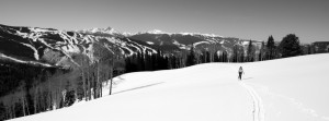
The next day, in much better weather (absolutely bluebird skies and full sun), Kristine and I had a ski tour date up our local 12,136′ peak named Bald Mountain just north of Vail Village. Despite being so close to us and located in our favorite Gore Range, we had yet to climb this peak for one reason or another. While only a 12er, Bald Mountain boasts quite the vertical gain and mileage at around 4,000′ and 10 miles roundtrip. After dropping Rainier off at Sarah & Keith’s house and picking up their dog, Molly, we drove to Vail and essentially parked at the main Vail Village exit. From there we started the ascent of Bald’s long and broad southwest ridge through gorgeous glades and thick trees around 9:30am.

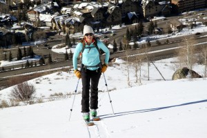
Kristine starting the skin with the Vail Village exit down below

Kristine starting the skin with the Vail Village exit down below

We had to put the skis on our packs for the initial few hundred vertical feet, but then we got to mellower slopes and were able to skin the entire way to Bald’s summit. We quickly noticed that there was a Black Hawk helicopter running all day up in the Spraddle Creek, Middle Creek, and Bald Mountain areas. We also noticed the chopper was dropping folks off on the west ridge of Bald Mountain and pretty soon our fears were realized. We came upon a few search and rescue (SAR) volunteers in the woods and they told us a man from Indiana had been missing since Friday en route to the backcountry Eiseman Hut north of Bald Mountain. We had been to the Eiseman Hut on a few backcountry skiing excursions/hut trips and certainly know how difficult the terrain and locating the hut can be, especially in bad weather. However, when he went missing last Friday, the weather was good and apparently he deliberately separated from his group saying he would meet them at the hut. By the time his friends arrived at the hut, the man was not there. SAR crews had been searching all weekend and still to this day there is no sign of the missing person. Its a tragic situation and it seems that every year someone gets lost en route to/from the Eiseman Hut. I certainly hope the gentleman is found alive.

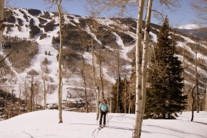
Kristine skinning thru gladed areas with Vail ski mountain behind

Kristine skinning through gladed areas with Vail ski mountain behind

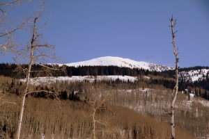
Bald Mountain still a good distance away

Bald Mountain still a good distance away

Open glades along Bald's broad southwest ridge

Open glades along Bald’s broad southwest ridge

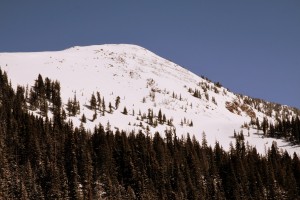
Bald's south face

Bald’s south face

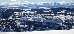
Kristine and I proceeded to have a fantastic day together skinning to the summit of Bald Mountain for outstanding views of Vail ski resort, the northern Sawatch Range, and of course the Gores the entire way up.

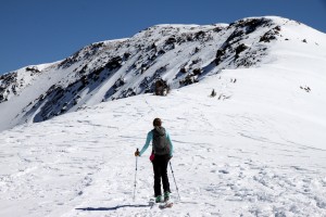
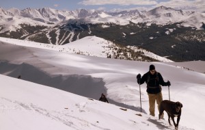
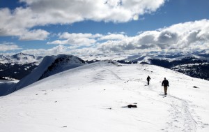
Kristine beginning the skin up Bald's west ridge once above treeline

Kristine beginning the skin up Bald’s west ridge once above treeline

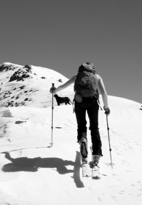
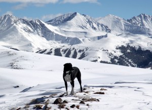
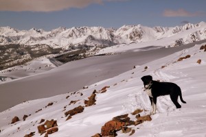
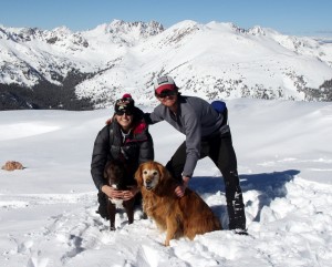
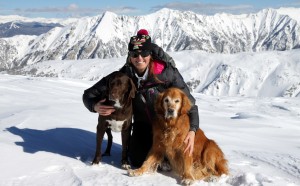
Kristine & Kona

Kristine & Kona

IMG_0414

Kristine topping out on a new Gore Range 12er for us

Kristine topping out on a new Gore Range 12er for us

There is nothing better than a PB&J on a summit with very light wind, warm sunshine, gorgeous views, and your terrific wife. The Black Hawk came fairly close to us on the summit searching for the missing hiker.
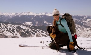
Kristine & Kona on Bald Mountain's summit with Vail ski resort and the northern Sawatch Range behind

Kristine & Kona on Bald Mountain’s summit with Vail ski resort and the northern Sawatch Range behind

The Black Hawk

The Black Hawk

The Black Hawk with Ripsaw Ridge as the backdrop

The Black Hawk with Ripsaw Ridge as the backdrop

Molly taking the views in

Molly taking in the views

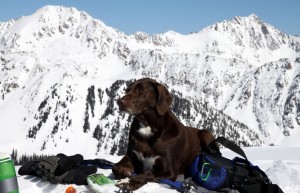
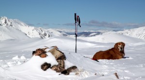
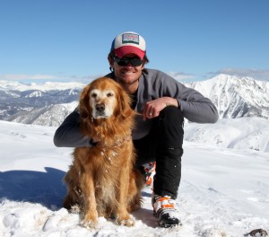
Kona catching some zzzz's on Bald's summit with East & West Partner Peaks behind

Kona catching some zzzz’s on Bald’s summit with East & West Partner Peaks behind

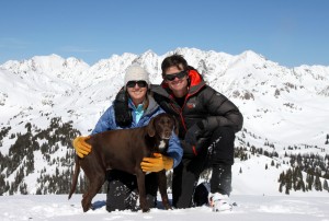
The Chalks on Bald Mountain's summit (12,136') minus a Rainier

The Chalks (minus a Rainier) on Bald Mountain’s summit (12,136′)

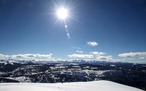
Just a gorgeous winter day

Just a gorgeous winter day

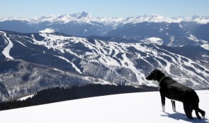
Vail ski resort with 14er Mt. of the Holy Cross in the distance as seen from Bald Mountain's summit

Vail ski resort with 14er Mt. of the Holy Cross in the distance as seen from Bald Mountain’s summit

After about 3 hours and 45 minutes up, 30 minutes on the summit, we started the ski down our ascent route.

Kristine and the dogs skiing off Bald's summit

Kristine and the dogs skiing off Bald’s summit

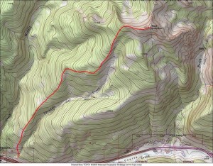
It was tight skiing in the trees and tough to find our skin track at points due to the several skin and ski tracks made by the SAR crews, but we made it back down to the car in about an hour and a half. We did enjoy some enjoyable spring corn turns on low-angled slopes at the bottom of the southwest ridge. Spring is almost here. All in all, it was  a leisurely and very enjoyable 6 hour roundtrip ski tour. I think we’d both highly recommend Bald’s southwest ridge as a fun and mellow ski tour if your willing to do a bit of your own routefinding and navigation. A map of the route is below:

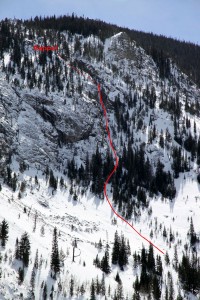
Bald Mountain southwest ridge route

Bald Mountain’s southwest ridge route

Fun in the Sun on Uneva Peak

Uneva Peak is one of our favorite go-to 12,000′ peaks on any kind of day in any kind of season. Its relatively easy access from Vail Pass and moderate slopes make it a nice, safe half-day outing whether just hiking, snowshoeing, or skinning and skiing. While we’ve been up it now too many times to count, I have never posted pics on our adventures up and down the peak. However, I figured I would do so now considering the gorgeous sunny day we had this past Saturday with good friends (W&L fraternity brothers and their spouses) who were visiting us from Colorado Springs, Chicago, and St. Louis. Jamie Buckley and Dave & Sarah Levinson climbed Kilimanjaro with us back in August of 2011. We all arrived at Vail Pass at the early alpine start of 10:45am. Shortly after 11:15am, Kristine and I set off on our skins and skis while the rest of the crew set out on snowshoes and the dogs on their paws.

The crew with 13er Jacque Peak in the distance. Right to left: Jamie, Eileen, Sarah, Dave, & Kristine

The crew with 13er Jacque Peak in the distance. Right to left: Jamie, Eileen, Sarah, Dave, & Kristine

Mellow slopes lead up to the shallow bowl we have dubbed "Uneva Bowl"
Mellow slopes lead up to the shallow bowl we have dubbed “Uneva Bowl”
Moonscape

Moonscape

Uneva Bowl

Uneva Bowl

I have rarely had a sunny, windless day up on Uneva, but this day took the cake. It was absolutely gorgeous. And the shallow bowl and ridgeline leading up to Uneva were completely caked with soft snow to boot. After about 2 1/2 hours in the soft snow, we reached the ridgeline/saddle where we could peer over into Summit County and down to Frisco and Silverthorne. This saddle was the start of the southeast ridge up and over the Point 12,340′ false summit and onto Uneva’s summit.

Rainier and the start of the southeast ridge up to Uneva  Peak's false summit, Point 12,340'

Rainier and the start of the southeast ridge up to Uneva Peak’s false summit, Point 12,340′

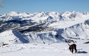
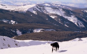
Our adopted dog for the day, Molly, with Copper Mountain ski resort and the Tenmile Range behind

Our adopted dog for the day, Molly, with Copper Mountain ski resort and the Tenmile Range behind

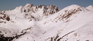
Uneva Peak's false summit on the left and true summit on the right as viewed from the ridgeline/saddle

Uneva Peak’s false summit on the left and true summit on the right as viewed from the ridgeline/saddle

Jamie & Eileen Buckley from Chicago

Jamie & Eileen Buckley from Chicago

Dave & Sarah Levinson from St. Louis

Dave & Sarah Levinson from St. Louis

Everyone was doing so well considering 4 of our 5 friends were from close to sea level and had just arrived 2 days prior. Chris Sutton was from Colorado Springs and was doing well as always. Chris had been up here before with me and Rainier, but had never tagged Uneva’s true summit. After we all hung out at the saddle a bit, ate our PB&J sandwiches, and enjoyed the sun and the views, we discussed going on to Uneva’s summit. The sea level folks had done so well all day and we were all happy that they had reached the ridgeline. While Sarah, Dave, Eileen, and Jamie were happy with the day’s efforts and decided to descend, Chris wanted to continue on to the summit as did the Chalks. I continued the rocky skin up the ridge while Kristine left her skis and booted it while Chris snowshoed.

Molly on Point 12,340' with the Gore Range ebhind

Molly on top of Uneva’s fale summit, Point 12,340′, with the Gore Range behind

Kona, Chris, and Kristine approaching Point 12,340'

Kona, Chris, and Kristine approaching Point 12,340′

The saddle between the false summit and Uneva's true summit

The saddle between the false summit and Uneva’s true summit

We reached Uneva’s gorgeous summit about 30 minutes later under a warm sun and calm skies. We stayed up on the summit for a good 30 minutes soaking in the sun and admiring the views of the Gore Range laid out before us to the north.

Rainier lounging on the summit of Uneva Peak (12,522')

Rainier lounging on the summit of Uneva Peak (12,522′)

Kona coming up to the summit with the mighty Gores behind

Kona coming up to the summit with the mighty Gores behind

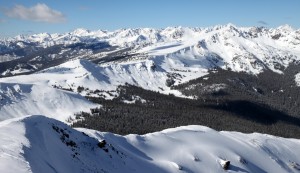
Looking north to the Silverthorne massif (center), Zodiac View (lower left), Red Peak (far right), and Zodiac Ridge barely visible connecting Red Peak to the Silverthorne massif

Looking north to the southern Gores. The Silverthorne massif (center), Zodiac View (lower left), Red Peak (far right), and Zodiac Ridge connecting Red Peak to the Silverthorne massif are all visible

Molly and east vail, aka Benchmark Peak & Bowl

Molly and the Vail sidecountry terrain called East Vail, aka Benchmark Peak & Bowl

Looking northwest to the central & northern Gores

Looking northwest to the central & northern Gores

Chris on the summit of Uneva Peak

Chris on the summit of Uneva Peak

The Chalks on Uneva's summit

The Chalks on Uneva’s summit

Chris, Kristine, and me

Chris, Kristine, and me

Rainier again did so well. Its getting tougher and tougher for her on these peaks with her now being over 11 years old, but Uneva is definitely still within her limits

Rainier again did so well. Its getting tougher and tougher for her on these peaks with her now being over 11 years old, but Uneva is definitely still within her limits

Kristine and the pups

Kristine and the pups

We then retraced our steps back down to the saddle below Point 12,340′ where Kristine clicked into her skis. I skinned/skied my way down from Uneva’s summit over fairly rocky terrain, but managed to not ding my skis too bad. We then skied out to the mellow Uneva Bowl and descended down 25 degree terrain back to our ascent track.

Chris descending the mellow ridge before dropping into Uneva Bowl

Chris descending the mellow ridge before dropping into Uneva Bowl with the Sawatch range in the distance to the south

Sun, sun, sun

Sun, sun, sun

Kristine making the snow look better than it actually was

Kristine making the snow look better than it actually was

After carrying Rainie a bit in the deep, sloppy powder while I skied, we all reached Vail Pass an hour or so later. It was a fine day out with good friends from afar.

Homestake Peak

We were reminded that every Sunday should be spent the way we spent this past Sunday. Our small Vail crew (me, Kristine, J, and Mikey) met up with a Denver team with whom we have been in touch for years but have actually never gotten out in the mountains together. Kristine & I had met Brian Miller before years ago as well as Dillon Sarnelli last fall in the Gores on Mt. Valhalla, but we all met Ben Conners, David Yarian, & Rick Thompson for the first time. It was a stellar crew and everyone got along very well. These guys have an awesome website/blog going of their adventures in the Rockies, of which I am a subscriber, so check them out at Explore The Rockies. Ben suggested the 13er Homestake Peak near Tennessee Pass, which none of us had been up, so we were definitely on board and given the bluebird forecast it was to be a great day up high. The roundtrip length was around 11 miles and 3,200′ of vertical gain, so not all too long especially on skis. Poor Dillon was the lonesome fellow on snowshoes but he sure can move.

Skinning into the 10th Mountain Hut with Homestake Peak looming above. Photo by Dillon Sarnelli

Skinning into the 10th Mountain Hut with Homestake Peak looming above. Photo by Dillon Sarnelli

J, Kristine, & Mikey skinning in open meadows to gain Homestake's gentle east ridge. Photo by Dillon Sarnelli

J, Kristine, & Mikey skinning in open meadows to gain Homestake’s gentle east ridge. Photo by Dillon Sarnelli

On the east ridge looking west at the Tenmile Range and Ski Cooper

On the east ridge looking west at the Tenmile Range and Ski Cooper

Left to right: Me, Kristine, David, & Ben. Photo by Dillon Sarnelli

Left to right: Me, Kristine, David, & Ben. Photo by Dillon Sarnelli

Ben skinning the steepest portion of the east ridge

Ben skinning the steepest portion of the east ridge

Mikey skinning high on the east ridge

Mikey skinning high on the east ridge

To the summit - J is visible on top. Photo by Dillon Sarnelli

To the summit – J is visible on top. Photo by Dillon Sarnelli

I've never seen this perspective of Mt. Massive & Mt. Elbert to the south before

I’ve never seen this perspective of Mt. Massive & Mt. Elbert to the south before

Once we got up on the east ridge, the wind came in bursts and was fairly stiff, but fortunately it wasn’t sustained. The summit was pretty chilly with the wind but the views were gorgeous of the Gores & Holy Cross Wilderness to the north, the Tenmile Range to the east, the Sawatch Range 14ers to the south, and the Elks to the southwest.

Summit views to the southwest and Elk Range near Aspen. Photo by Dillon Sarnelli

Summit views to the southwest and Elk Range near Aspen. Photo by Dillon Sarnelli

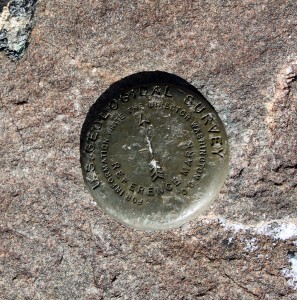
Homestake Peak summit marker

Homestake Peak summit marker

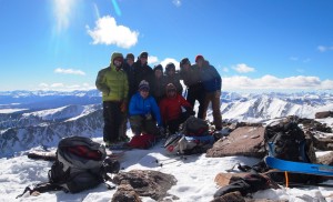
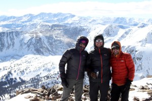
Our awesome crew on the summit of Homestake Peak (13,209')

Our awesome crew on the summit of Homestake Peak (13,209′)

Kristine, J, & Mikey on the summit of Homestake Peak (13,209')

Kristine, J, & Mikey on the summit of Homestake Peak (13,209′)

The ski down the east ridge was pretty wind-scoured sastrugi, but there were pockets of softer recycled powder to be harvested. One thing about this Denver crew is that they can rip on skis. Brian charged down a northeast facing slope to the basin below and so we all followed. It was actually pretty darn good powder. Much better than expected. The slope was only around 25 degrees so avalanche concerns were minimal. It was a fun ski for sure and am glad we just didn’t keep meandering down the gentle east ridge to treeline.

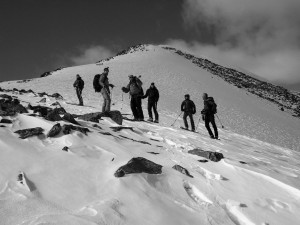
Our crew on the descent of the east ridge. Photo by Dillon Sarnelli

Our crew on the descent of the east ridge. Photo by Dillon Sarnelli

Rick making variable conditions look like butter. Photo by Dillon Sarnelli

Rick making variable conditions look like butter. Photo by Dillon Sarnelli

Kristine on the descent. Photo by Dillon Sarnelli

Kristine on the descent. Photo by Dillon Sarnelli

J entering the fun northeast slope down to the basin below

J entering the fun northeast slope down to the basin below

Kristine & I and the really fun slope we skied down from the east ridge behind

Kristine & I and the really fun slope we skied down from the east ridge behind

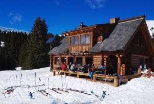
A perk of skinning in and climbing Homestake from the east near Tennessee Pass was that we got to visit the 10th Mountain Hut on the way out, one of the few huts we had yet to visit. We all met up back on the deck of the hut and enjoyed the sun and the views and some snacks and sandwiches. We then were able to stay fairly high on the small ridge and ski most of the way out back to the cars down one of the packed down winter approaches to the hut. We all actually expected the trip would take us longer than the 6 hours or so it did roundtrip, but no complaints here. It was a great way to spend a Sunday and we all look forward to getting out together again soon.

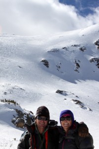
Relaxing back on the deck of the 10th Mountain Hut

Relaxing back on the deck of the 10th Mountain Hut. Photo by Dillon Sarnelli

The 10th Mountain Hut and Homestake Peak. Photo by Dillon Sarnelli

The 10th Mountain Hut and Homestake Peak. Photo by Dillon Sarnelli

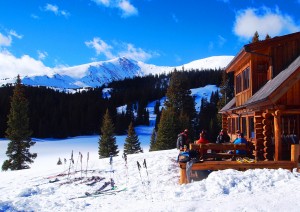
Homestake Peak from the 10th Mtn Hut

Homestake Peak from the 10th Mtn Hut

Crystal Peak

Despite having played around extensively in the Tenmile Range from summits to traverses, we had never ventured up the centennial (one of Colorado’s highest 100 peaks), Crystal Peak. Actually, Rainier & Kona had been up Crystal before back in May 2010 while we were on Everest with friends J Weingast, Andy Dionne, and Derek Drechsel when they all skied the steeper north face.

Rainier making a high-speed descent of Crystal's steep north face in May 2010. Photo by Derek Drechsel

Rainier making a high-speed descent of Crystal’s steep north face in May 2010. Photo by Derek Drechsel

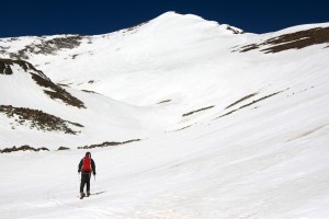
I had always thought the east face would make a really fun ski and so with the plentiful amount of late spring snow and one of the very few weekends we had available for a ski-mountaineering adventure, we headed over to Breckenridge early Sunday morning and started hiking from the Spruce Creek trailhead at 10,400′ around 6:45am with the skis on our backs for about a mile until we could start skinning on continuous snow. We soon broke through tree line and entered the lower Crystal Creek basin and the upper east face of Crystal Peak came into view.

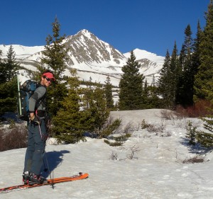
Me & Crystal Peak in the distance

Me & Crystal Peak in the distance

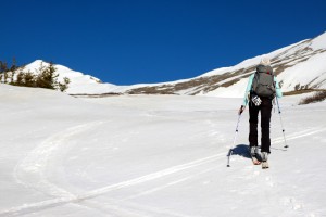
Kristine skinning up the lower portion of the Crystal Creek drainage

Kristine skinning up the lower portion of the Crystal Creek drainage

After some mellow skinning across the basin to the frozen lower Crystal Lake, we climbed the steep chute into the upper Crystal Creek basin. Kristine & I were able to skin this though Mikey packed his skis on his pack and booted up. Mike had only skinned a few times and skinning on really steep terrain takes alot of practice no doubt.

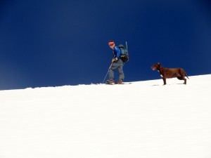
Me & Kona skinning up the steep chute to the upper basin

Me & Kona skinning up the steep chute to the upper basin

Mike skinning into the upper portion of Crystal Basin

Mike skinning into the upper portion of Crystal Basin

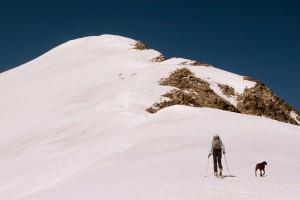
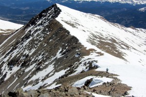
Once we reached the frozen upper Crystal Lake, we took a right and skinned to the saddle between Crystal Peak and Peak 10.  From that point, it was a simple bootpack up the east ridge to the summit. It was great to be up high again, especially on such a beautiful Colorado day.

Kristine & Kona skinning up Crystal's east ridge to the summit

Kristine & Kona skinning up Crystal’s east ridge to the summit

Kristine making her way to Crystal's summit with Peak 10 behind

Kristine making her way to Crystal’s summit with Peak 10 behind

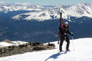
Mikey topping out on his 1st ski-mountaineering adventure

Mikey topping out on his 1st ski-mountaineering adventure

Pacific Peak (13,950') and its awesome north couloir from Crystal's summit. 14ers La Plata Peak & further to the right, Mt. Elbert, can both be seen on the right side of the picture

Pacific Peak (13,950′) and its awesome north couloir from Crystal’s summit. 14ers La Plata Peak & further to the right, Mt. Elbert, can both be seen on the right side of the picture

Crystal Peak summit (13,852')

Crystal Peak summit (13,852′)

I think if we had skied the face maybe 45 minutes to an hour earlier, conditions would have been optimal. Spring corn skiing is all about timing. Too early in the day, the snow is still too frozen. Too late in the day, the snow has turned to wet slop making wet slab avalanches more likely. Ideally, you want to ski when the top inch or two has softened up with the sun allowing for your skis to hold a good edge. As it was, it was still pretty good corn skiing, though the lower part of the face was a bit mushy and grabby. We topped out around 10:45am and started skiing by 11am or shortly afterwards. We hall had a really fun time with the ski.

Kristine skiing the really fun east face of Crystal Peak

Kristine skiing the really fun east face of Crystal Peak

Kristine dropping the knee in good form

Kristine dropping the knee in good form

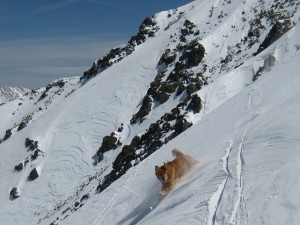
Kristine & Kona enjoying the sun and snow

Kristine & Kona enjoying the sun and snow

Crystal's east face is a really fun ski

Crystal’s east face is a really fun ski

Me enjoying some nice corn

Me enjoying some nice corn

The steep chute into the lower Crystal Creek basin had really thawed out and I let some sluff go skiing the chute, but it was still safe and some fun turns.

Me skiing down the steeper gully to the lower Crystal Creek drainage

Me skiing down the steeper gully to the lower Crystal Creek drainage

We eventually made our way back to below tree line, put the skis on our packs again and hiked the remaining mile back to my truck arriving around 1pm. This east face route is around 9.5 miles roundtrip with 3,500′ of elevation gain from the Spruce Creek trailhead. It was great to get out again on a ski-mountaineering adventure with Kristine and introduce Mike to the world of ski-mountaineering. I think he really enjoyed the trip. Lastly, it was fun to check out a new centennial peak for all of us. Only regret is not having Rainier with us, but she was having fun hiking in Vail. At 10 1/2 years old, Rainier doesn’t need to be trying to keep up with us anymore on the descent while we are on skis.Though our schedule is so busy with travel the next few weeks, here’s to hoping we can get out for another ski-mountaineering adventure before the snow completely melts out in the high country.