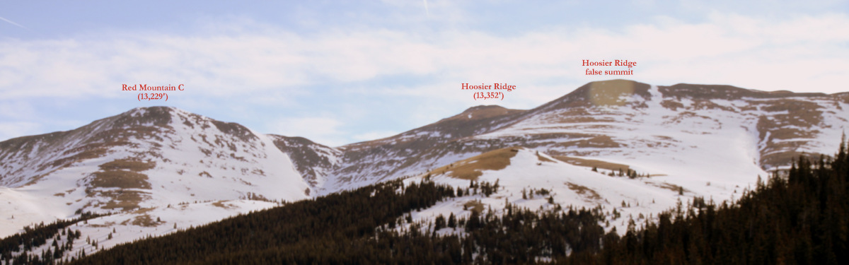
Despite a not so favorable spring ski forecast (cloudy and not much sun), this past Saturday’s brief outing up on the 13er Hoosier Ridge (13,352′) sure turned out to be better than expected. J, Kristine, Kona, and I met up with Derek, Maude, and Andy on top of Hoosier Pass and realized the lengthy ridge to the east which eventually wrapped north up to the summit Hoosier Ridge was pretty devoid of any snow. We wanted to avoid packing skis on our backs and walking in ski boots was not desirable. I spotted a small sliver of snow coming down from the false summit of Hoosier Ridge and realized we could stay on snow the entire way if we drove back down Hoosier Pass on its north side and park the cars along Highway 9. We parked at around 11,000′ and got on the move.
As seen from our cars along Highway 9
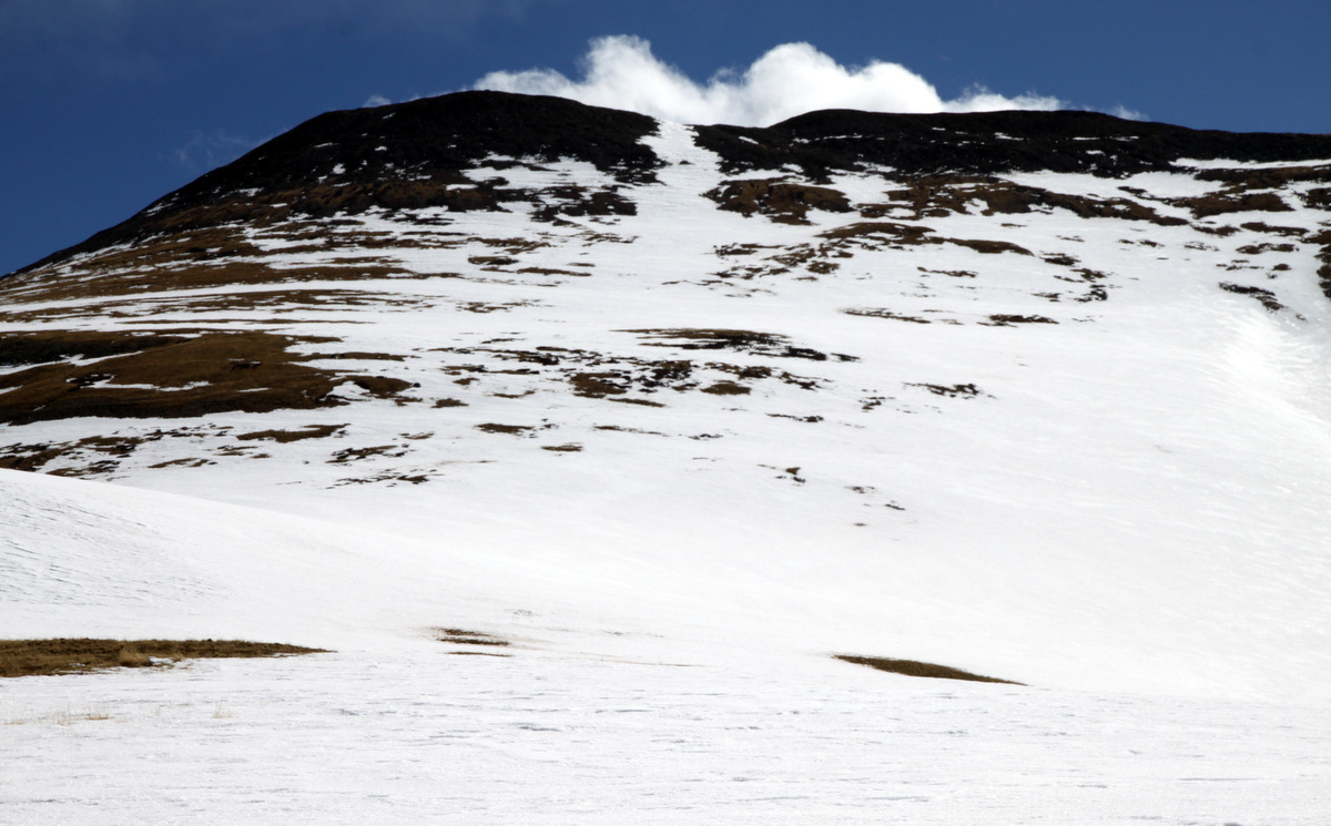
Our continuous snow line up to Hoosier Ridge
We skinned our way through glades and woods, bushwhacking here and there to avoid people’s backyards, and found our way up above treeline towards Hoosier Ridge. The wind was a little stiff , but the sun was out and we were happy.
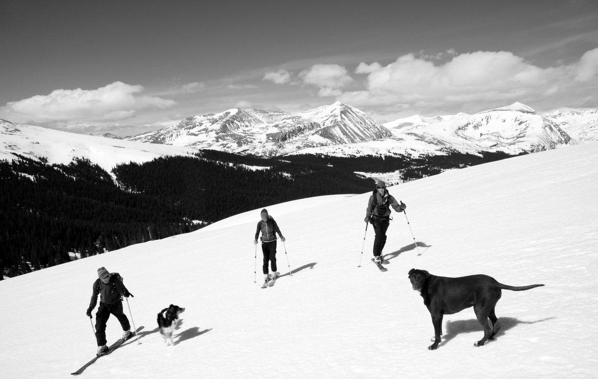
The crew making their way up to Hoosier Ridge with the Tenmile Range behind
Kristine & Kona making their way up to Hoosier Ridge
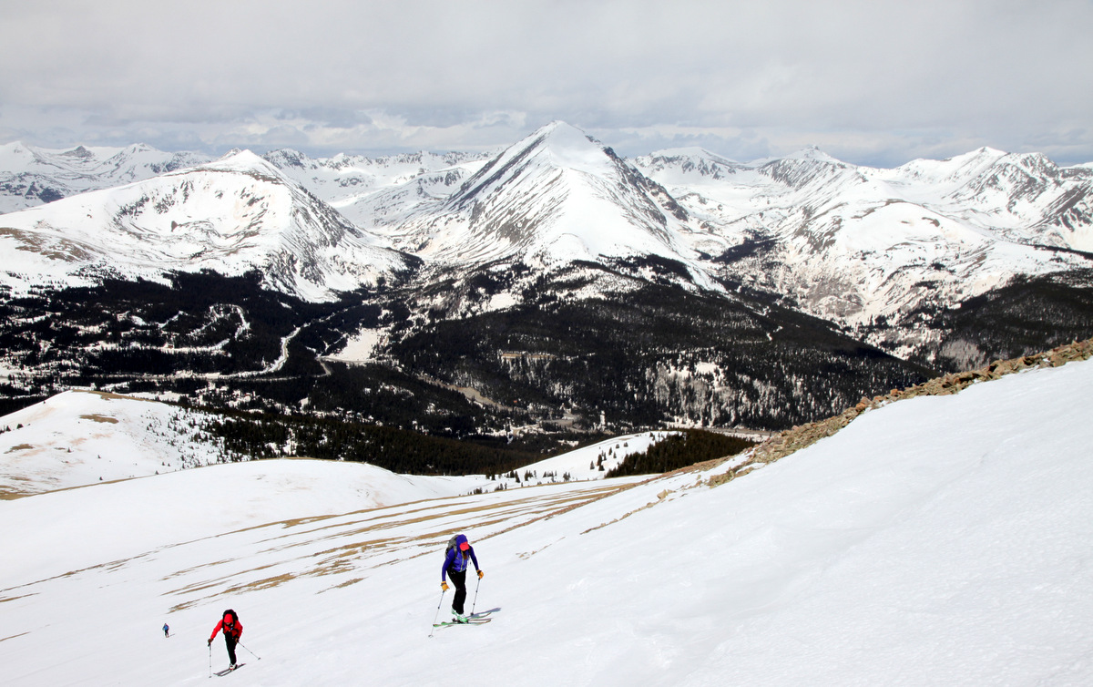
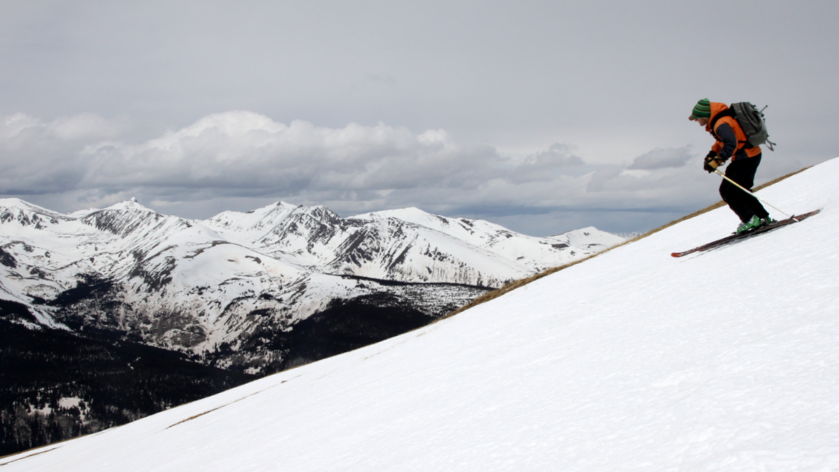
A little steeper portion on the continuous snow line with Quandary’s east face looming behind
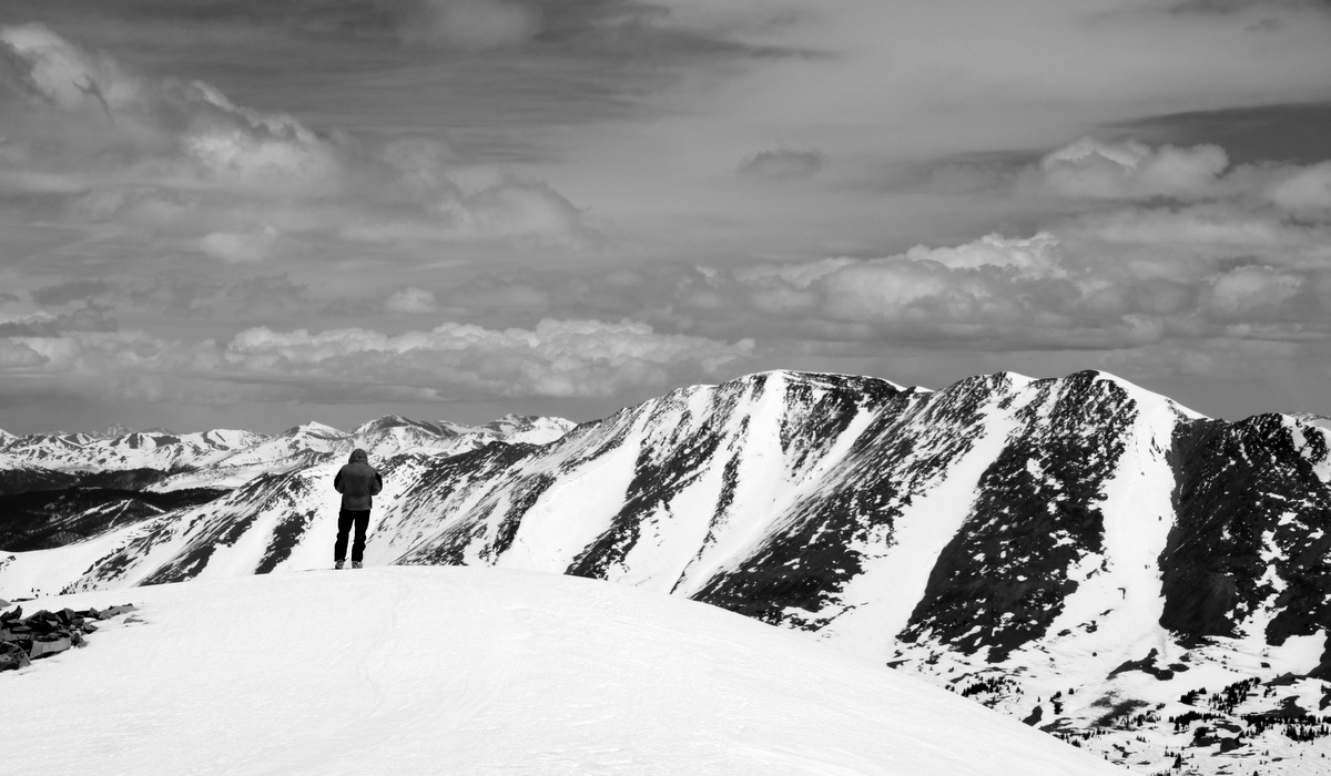
It was a nice skin up to the final 200′ below Hoosier Ridge where my skins decided to start sliding a bit. So, I put my skis on my back and booted up the rest of the way while everyone else was able to skin up. There was a decent rocky wind break on the false summit of Hoosier Ridge which provided some reprieve from the stiff wind.
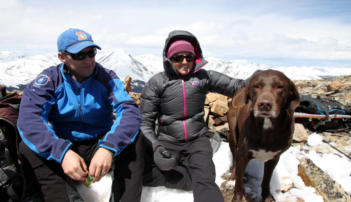
Andy, Kristine, & Kona on the false summit
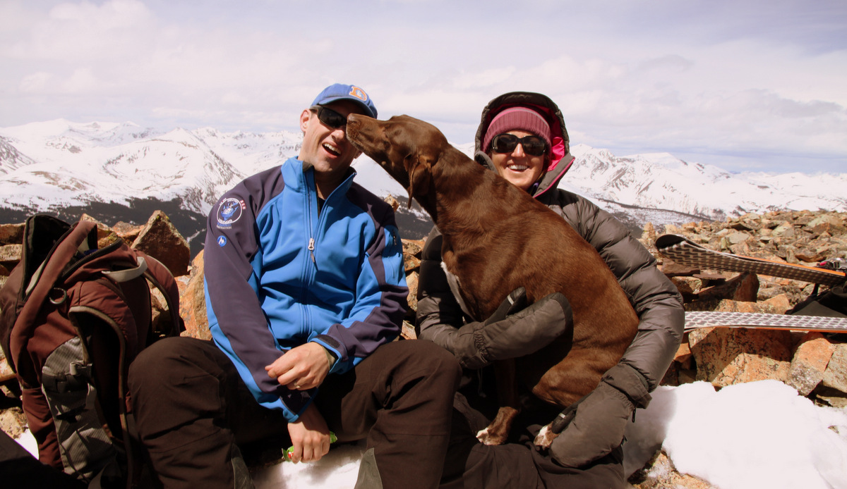
Kona is a lover
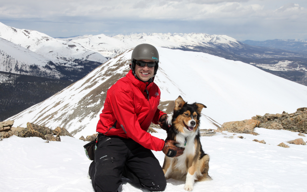
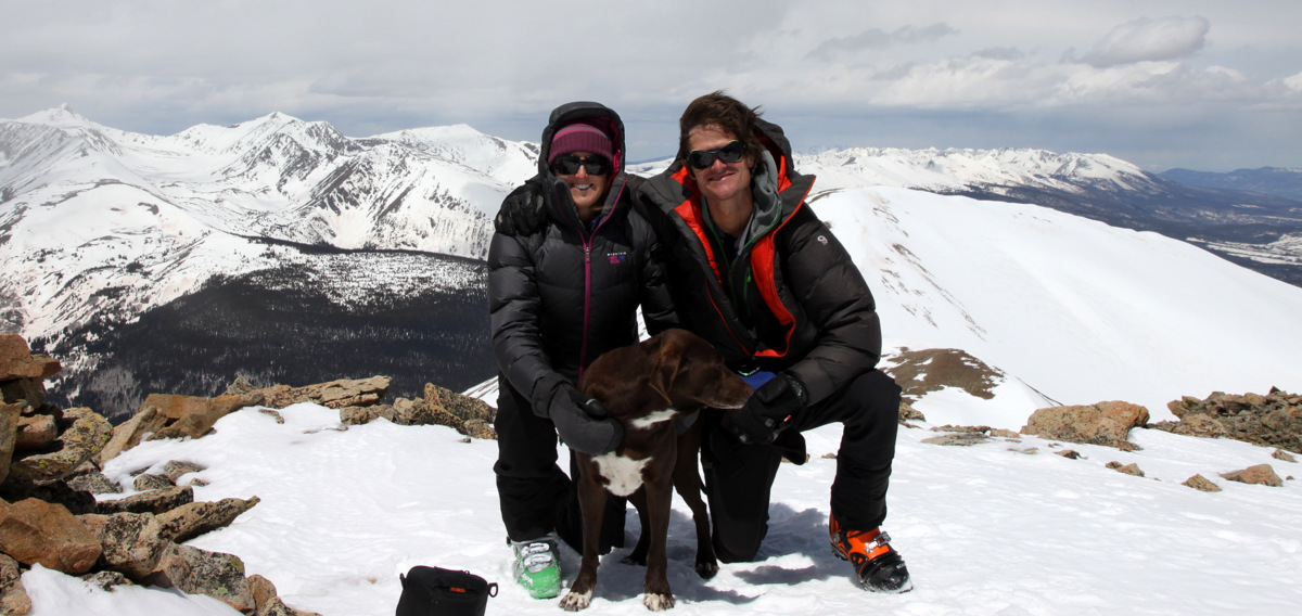
Andy relaxed on the false summit while Derek, J, Kristine, Kona, Maude, and I hiked over to the summit of Hoosier Ridge arriving at around 12:45pm. The views were nice of nearby 13ers Red Mountain C, Red Peak A, Bald Mountain A, Mt. Silverheels, and all of the Tenmile peaks.
Derek & Maude on the summit of Hoosier Ridge (13,352′)
J and Bald Mountain A
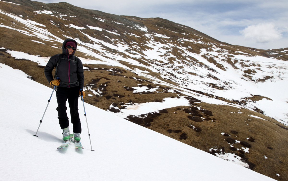
Hoosier Ridge summit (13,352′)
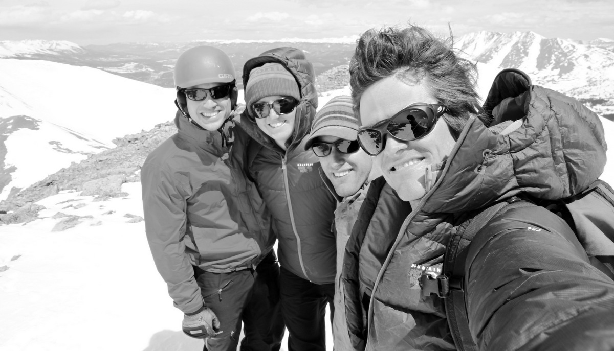
The four of us on the summit of Hoosier Ridge (13,352′)
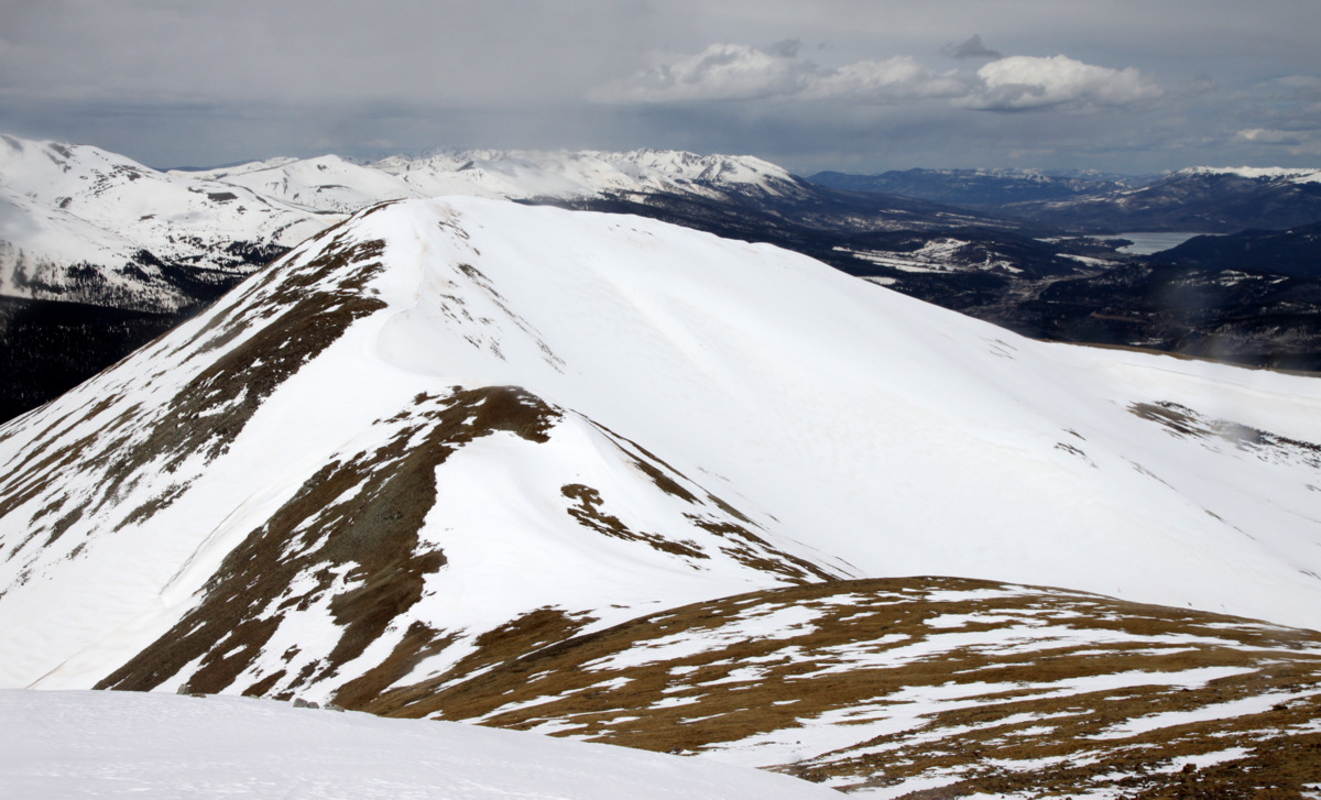
Red Mountain C (13,229′) from Hoosier Ridge summit
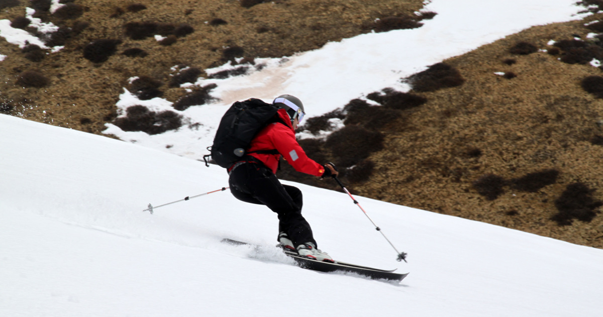
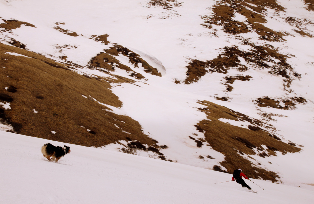
We hung out for a bit and then headed back over to Andy, clicked into our skis, and began the descent. I was concerned with the incoming stormy weather and clouds not allowing for the snow to soften up, but after the top 200′ down our line the snow really got pretty soft and fun. It was a nice 1,500′ of solid spring skiing followed by sloppy mashed potatoes once we entered the Bemrose Creek drainage.
J with Pacific & Crystal Peaks in the distance
Kristine with Pacific Peak’s sharp summit in the distance
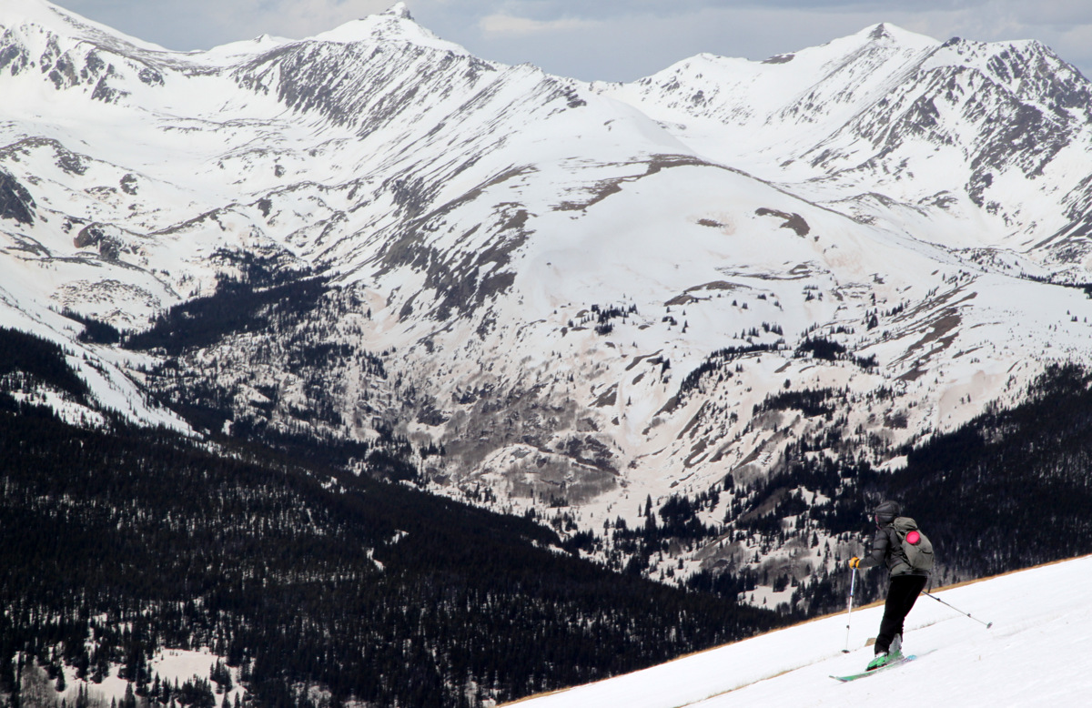
Good to get into the spring corn cycle
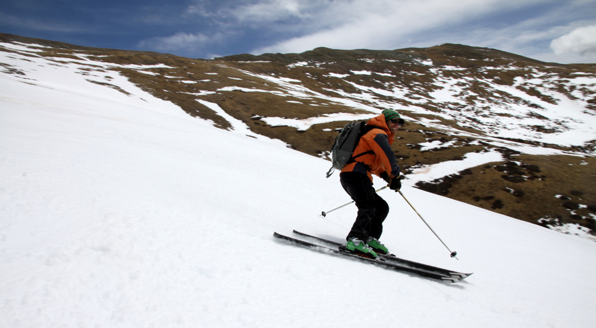
J laughing and skiing
Derek
Derek & Maude
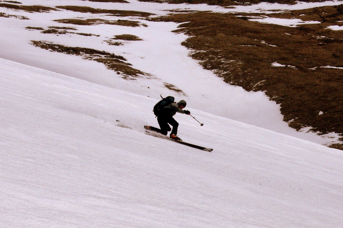
I just love spring corn and the tele turn. Photo by Derek
We were able to keep the skis on back to the cars despite the fact we had some uphill at the end since we followed out an access road to the backyards of a few homes. All in all, a solid 4.5 hour outing. I think the total was around 2,500′ vertical and maybe 5-6 miles roundtrip. A little map of our route below:
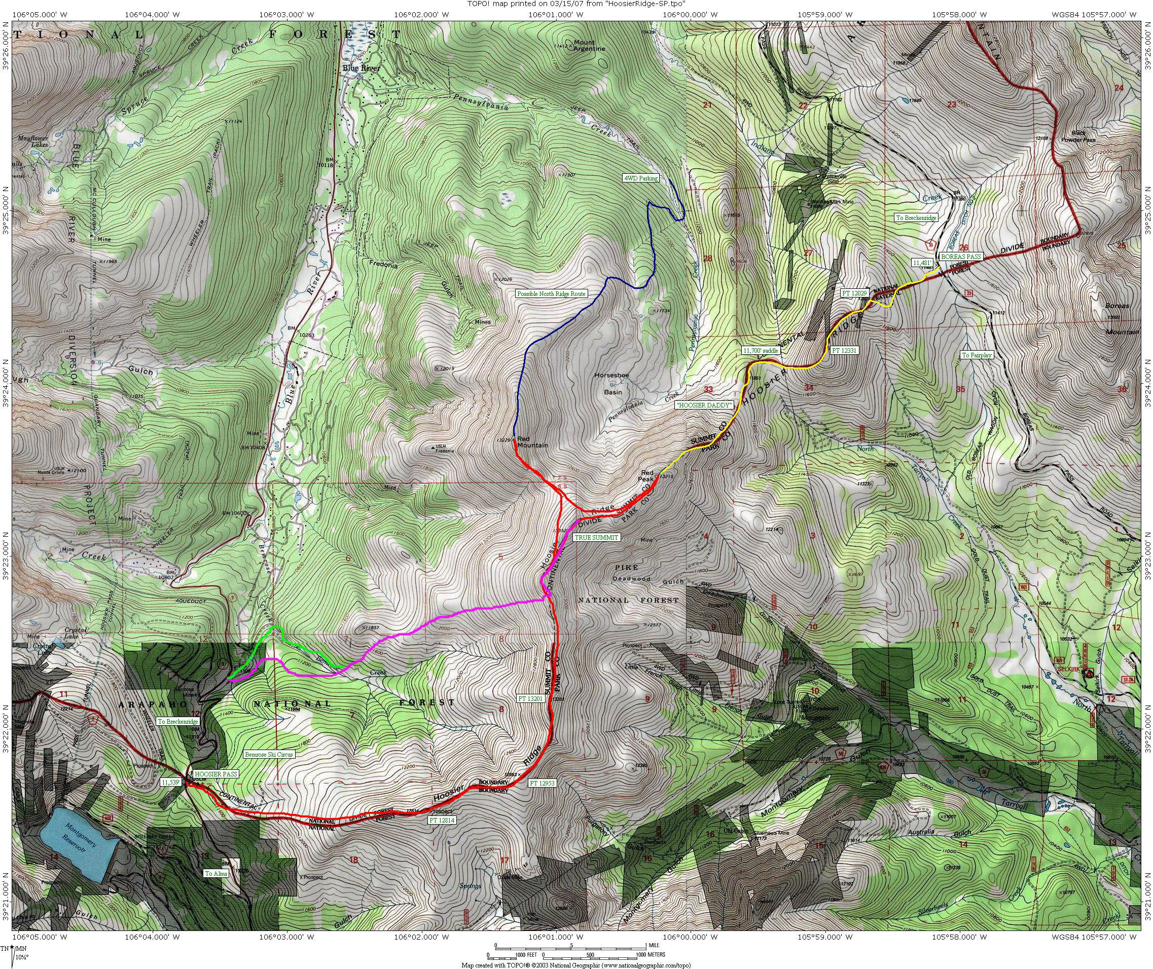
Our ascent in purple. Descent variation down Bemrose Creek drainage in green.
 Follow


Sweet guys! I wouldn’t have guessed snow coverage on Hoosier would have gone that high, nice pick! We were across the way on Crystal learning a new definition of “unskiable”, wish we would have joined you guys on this one 🙂
Thanks, Ben. I know, I wouldn’t have guess it either, but when I saw that ribbon of snow all the way to the ridge, I knew we should try it out! Ah, a good ole Crystal north face bushwhack adventure. That’ll definitely toughen one up!