The Ellingwood Arete
I was finally able to make a climb happen last weekend that I had been longing to do for so many years since I first visited the Crestone Group of 14ers down in the heart of the Sangre de Cristo Range: the Ellingwood Arete on Crestone Needle. And, not only was it on my wish list, but also on the lists of my good climbing friends J Weingast & Steve Cizik. The three of us were determined to make it happen this summer and with Steve’s 33rd birthday last week, it was perfect timing to do just that. Good friend Mikey Santoro joined us to round out two teams of two for this classic alpine rock climb. In fact, the Ellingwood Arete (sometimes called the Ellingwood Ledges) is noted as one of the fifty classic climbs of North America as described in Steck & Roper’s book Fifty Classic Climbs of North America. The Ellingwood Arete was first climbed by Albert Ellingwood, a true pioneer of Colorado alpine climbing, and Eleanor Davis in August of 1925.
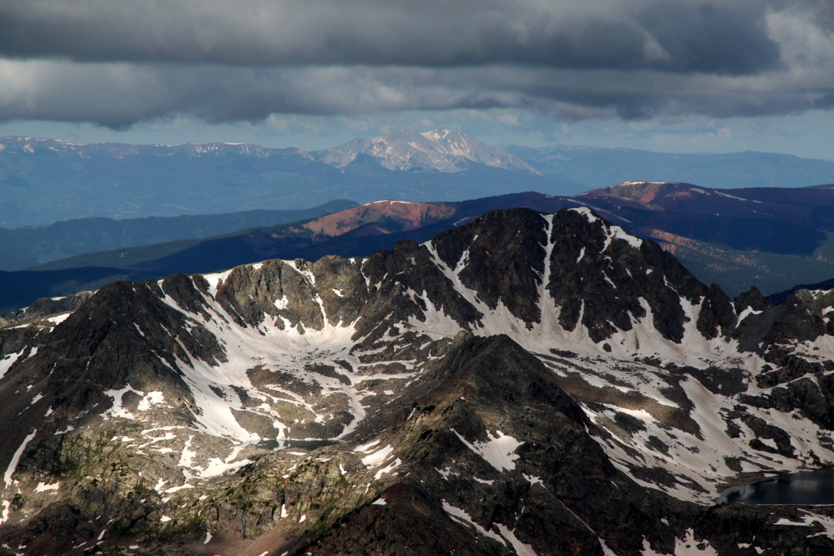
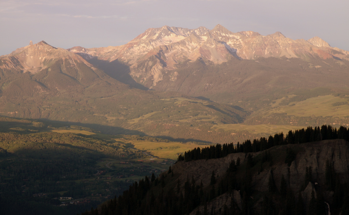
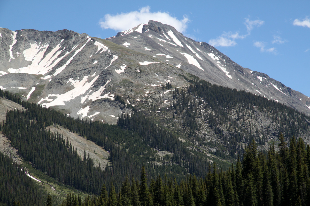
Rainier on Humboldt Peak’s west ridge in July 2009 with the Ellingwood Arete on Crestone Needle in profile in center of picture. Photo by Joel Gratz and was featured as the cover photo in the 2011 Vail Daily Pet Calender
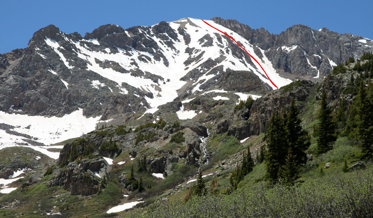
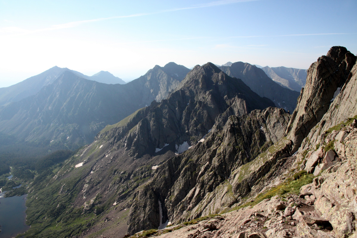
Below is a rough outline of our route up Crestone Needle’s Ellingwood Arete with the “direct start” variation (from a picture I took in July 2009 from Humboldt Peak):
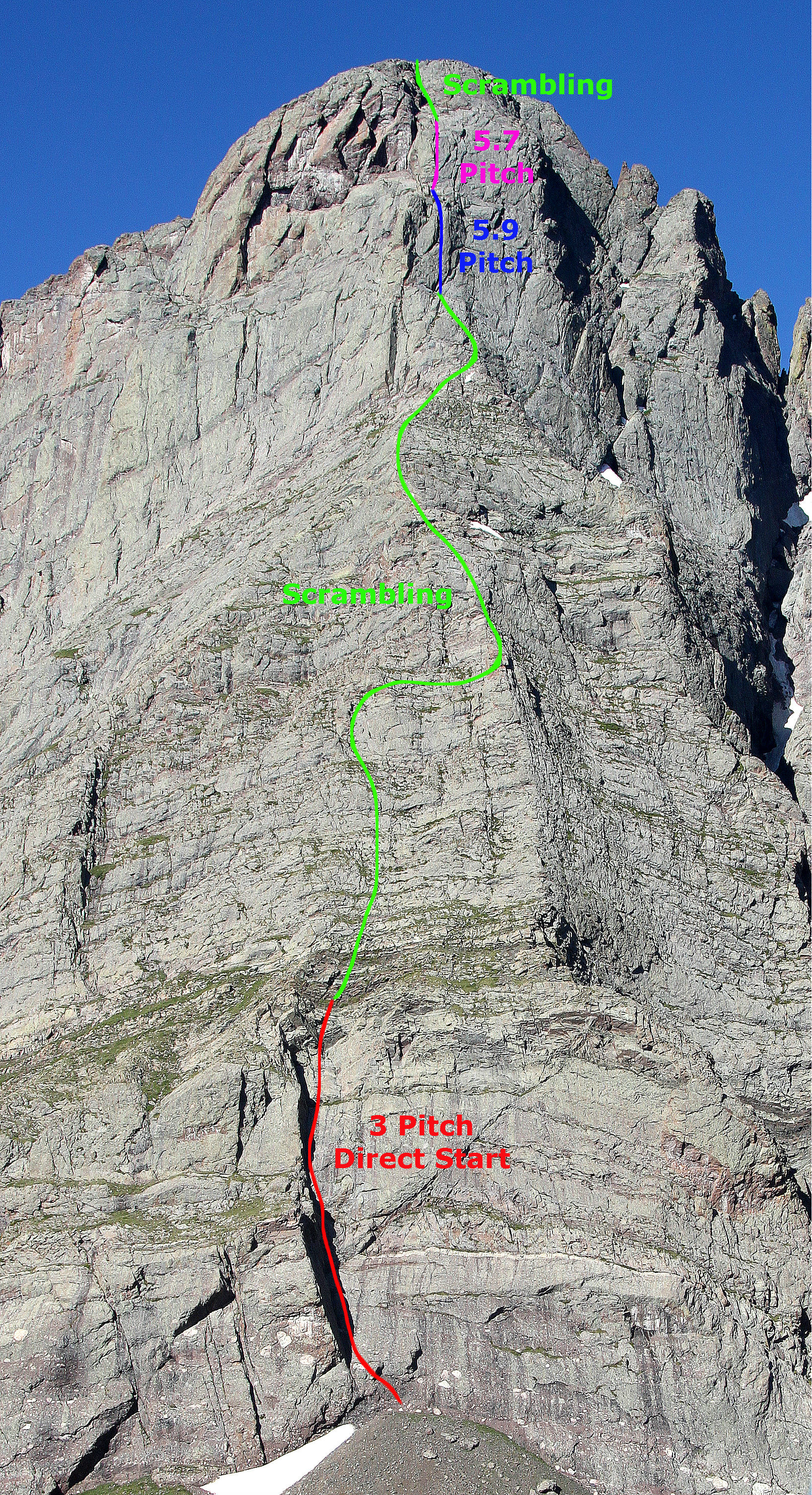
Ellingwood Arete with the “direct start” variation. Click to enlarge
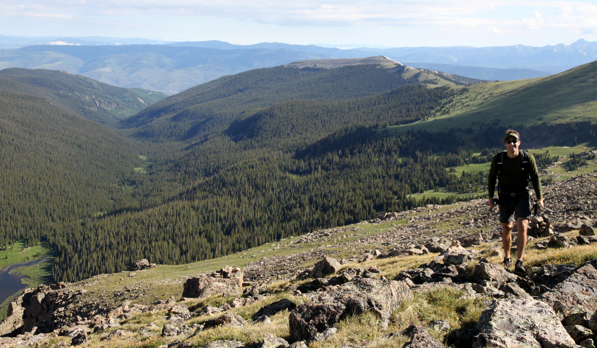
There is so much information to be found on this route, I really won’t get into the details of the climb, but just share our experience up this wonderful route. This was my 6th time up into the South Colony Lakes basin and 4th time up the Needle, but I have to say this is one of the most striking and fantastic 14ers in our state. I am always in awe of this peak that just seems to jut out of the earth like a knife blade.
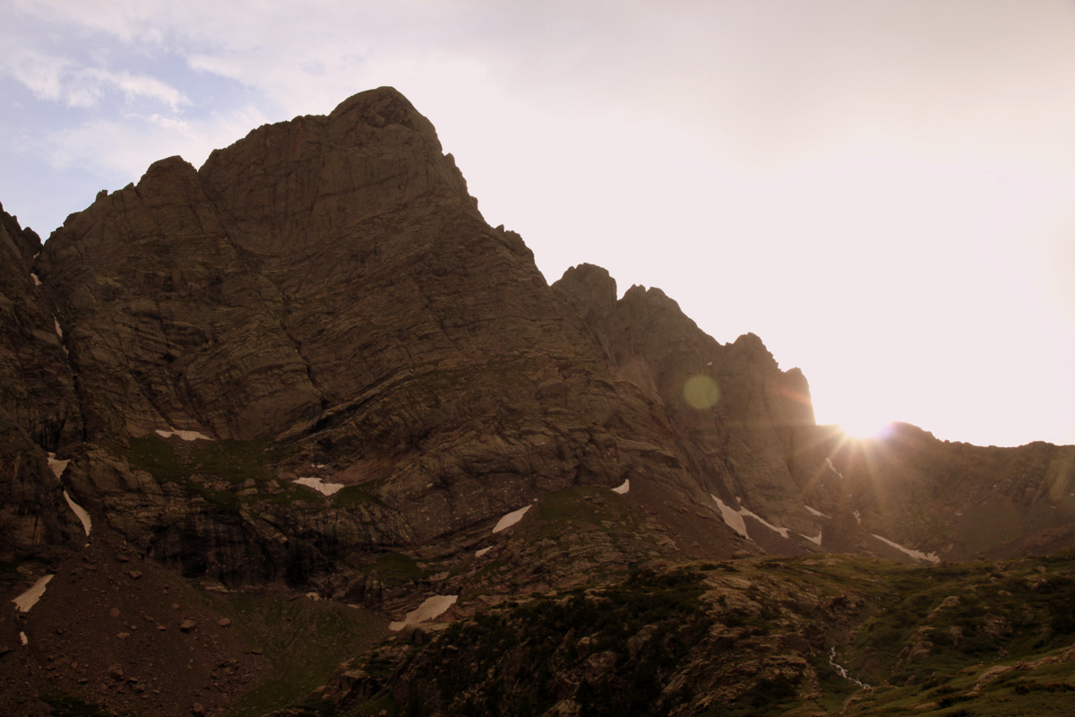
Crestone Needle’s Ellingwood Arete at sunset from our campsite
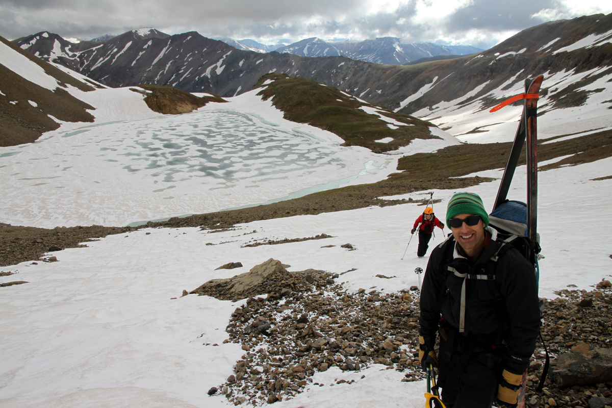
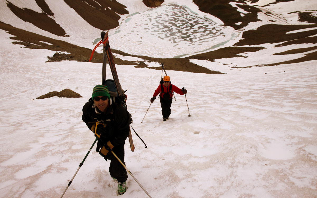
J, Mikey, and I drove the 4+ hours from Vail down to the South Colony Lakes trailhead this past Saturday and picked up Steve hiking the lower portion of the South Colony Lakes Road since his 2WD car wouldn’t make it too far up. We packed the 3.5 miles or so into South Colony Lakes basin early that evening and found a nice campsite between Lower & Upper South Colony Lakes. There was a stiff breeze with the clouds and front moving out that evening, but we were still able to get a fire going despite the fact that I singed my hair doing so.
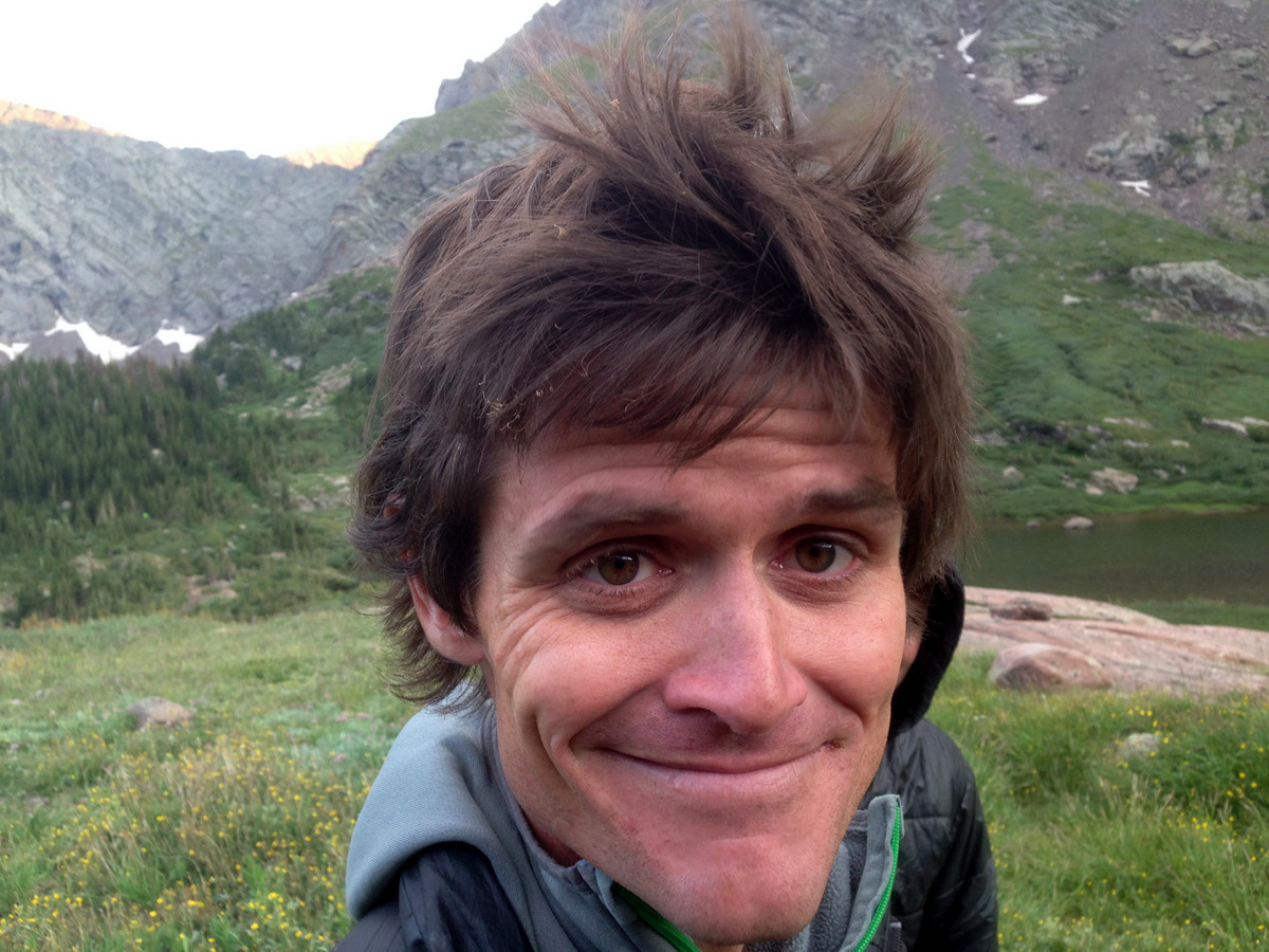
I singed my hair trying to start the campfire. Photo by J
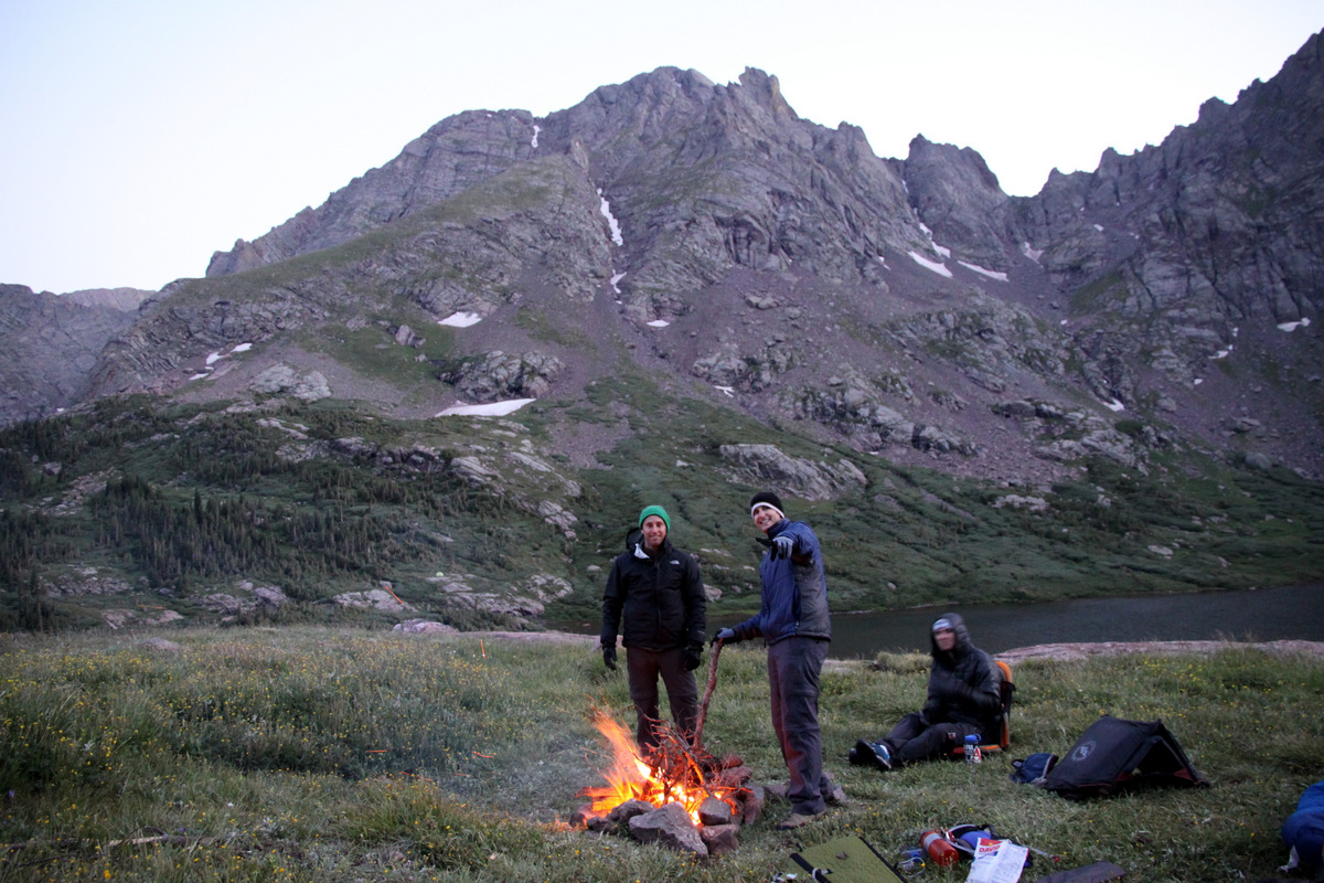
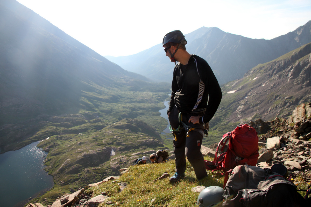
A nice setting with Broken Hand Peak as a backdrop to the south
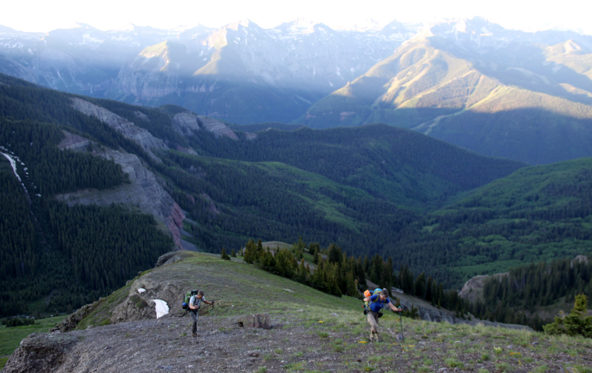
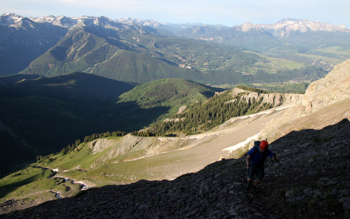
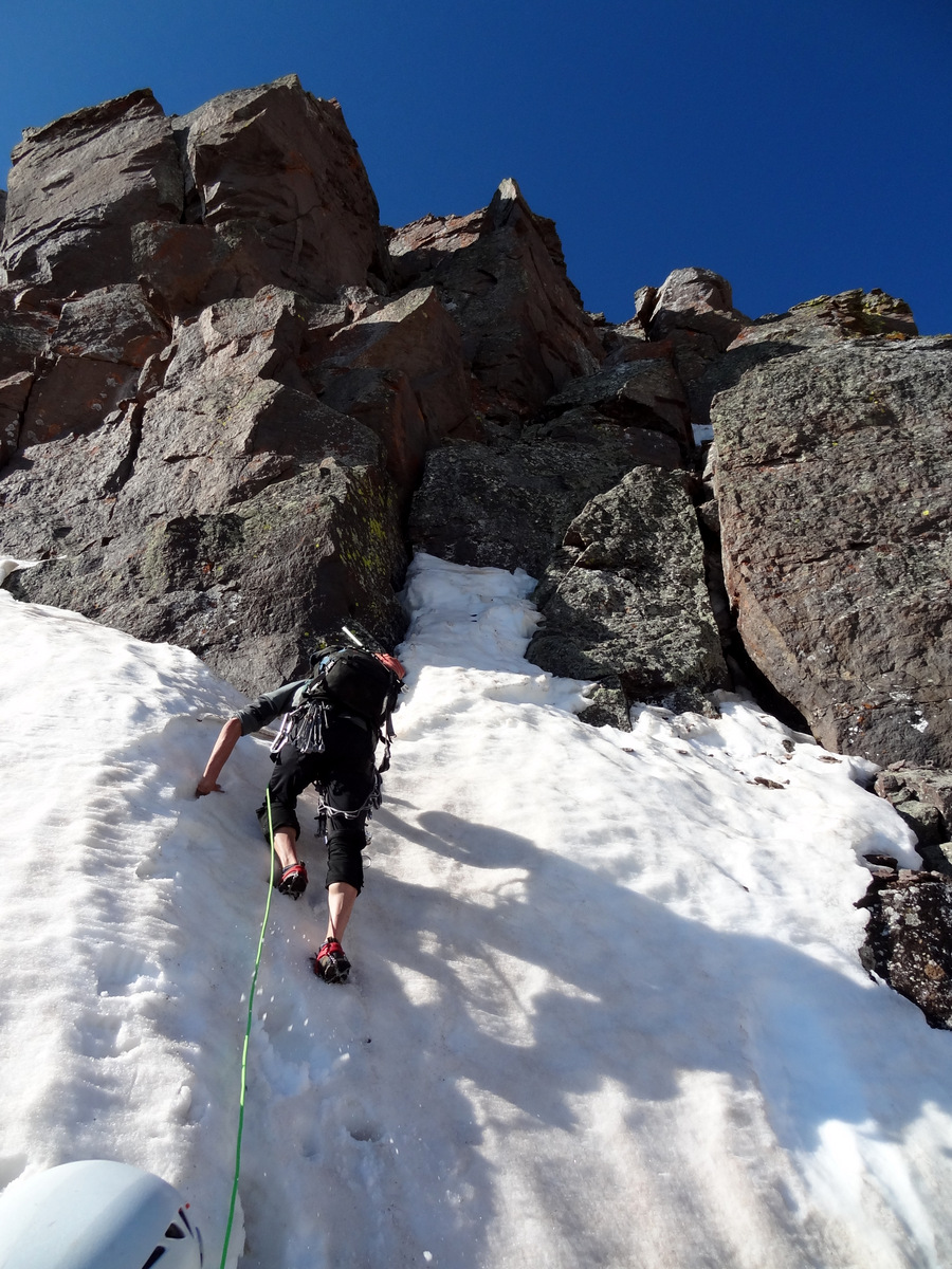
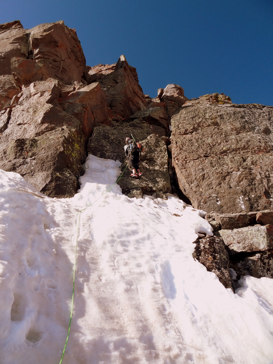
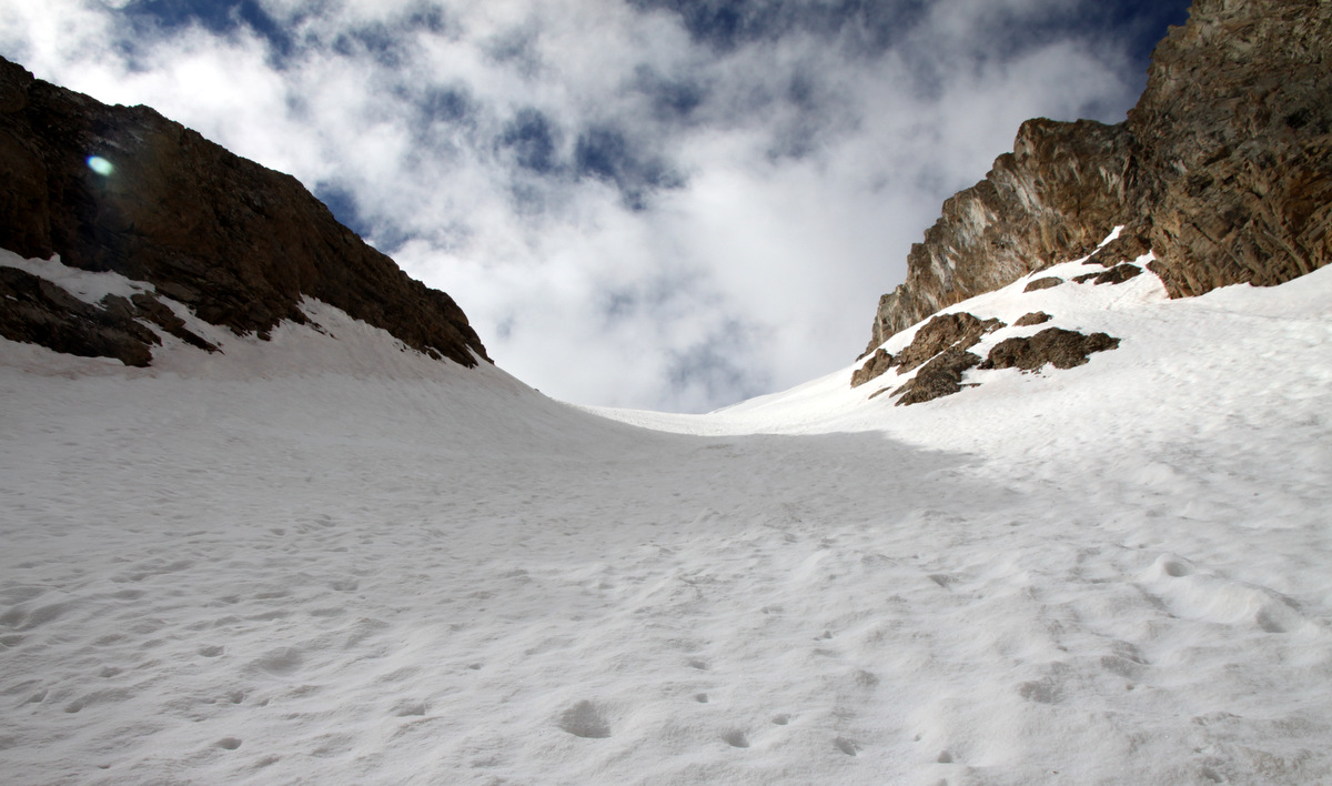
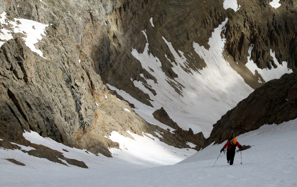
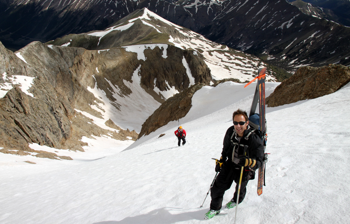
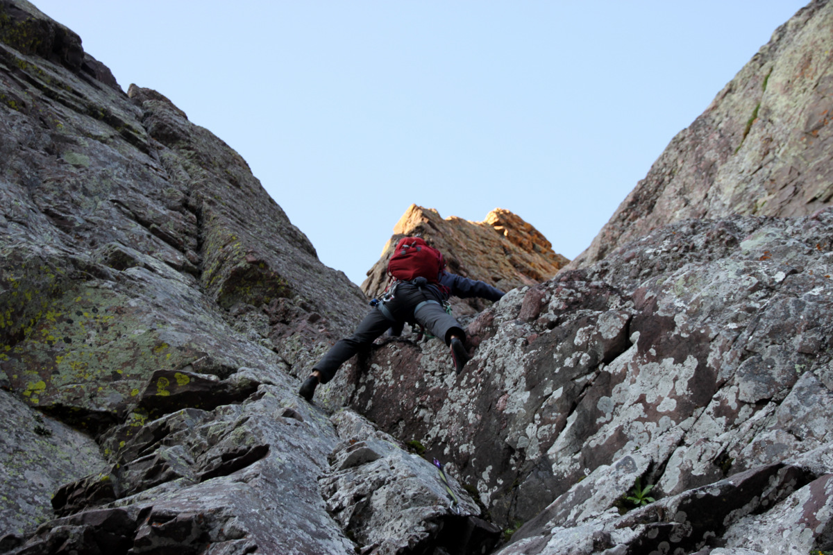
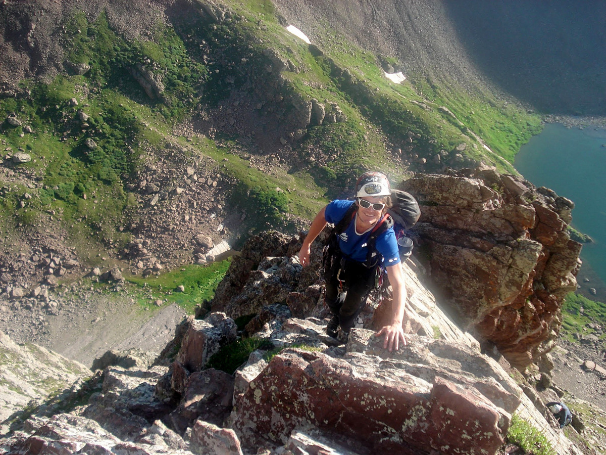
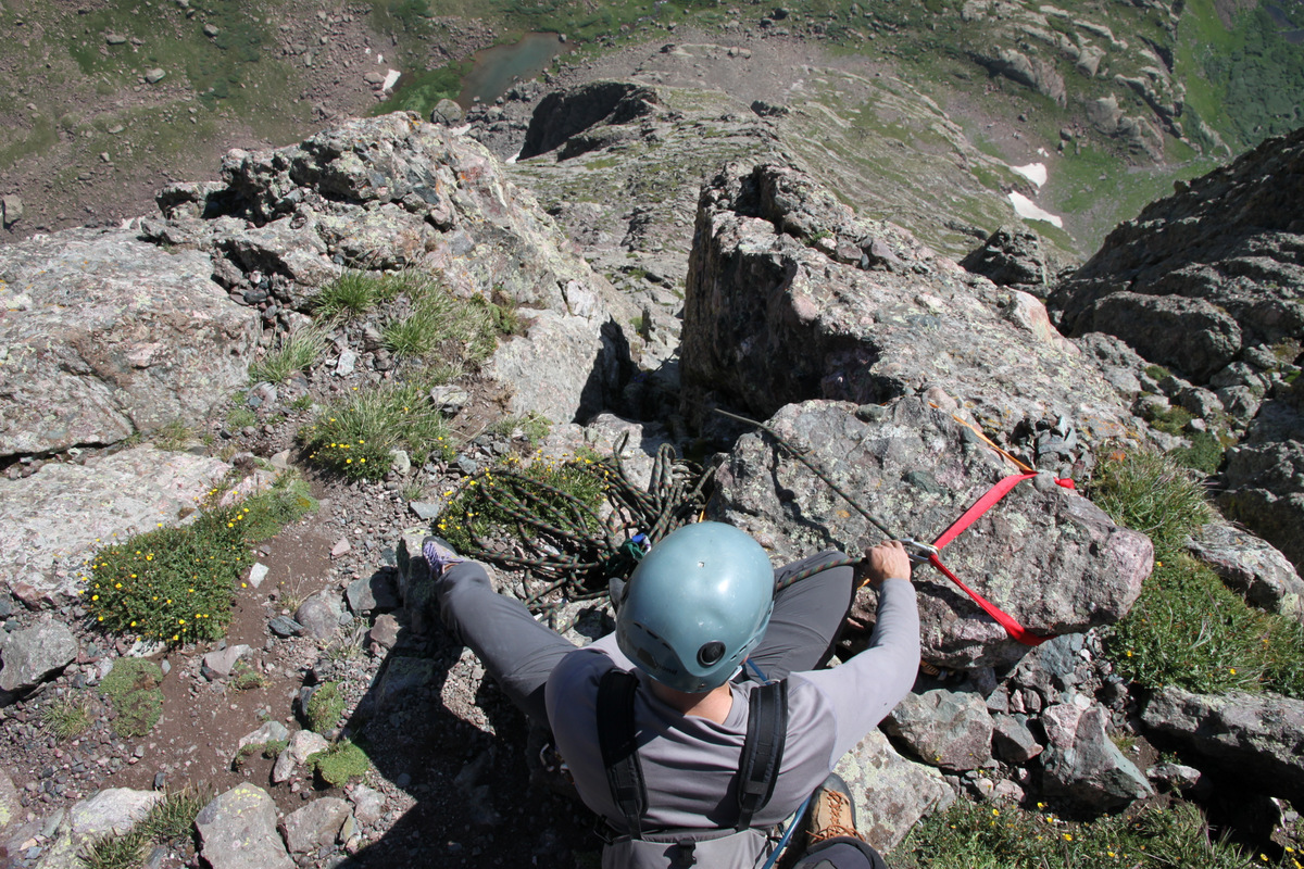
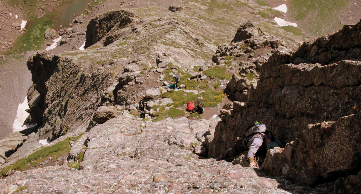
It was a great evening of Qdoba burritos, scotch, stories, and a pretty decent campfire despite the breeze. Steve slept in his bivy while J, Mikey, and I crashed in my 3-man tent. Up at 3:45am to coffee and oatmeal, we set off around 5am under some moonlight but mostly headlamp. We boogied up to Upper South Colony Lake, filled up our water bottles and bladders, and made our way east skirting the lake’s edge. After making our way up the lower steep scree field, we found ourselves at the base of the “direct start” to the route right at dawn. It was perfect timing to start the technical climbing as we could put away our headlamps and climb in the twilight before sunrise. We did two teams of two on two ropes with my full alpine rack and set of nuts: J and Mikey and then Steve and myself. The first team would leave in the gear for the second team’s leader to just clip during his lead. This method worked fairly well and we were able to be pretty efficient.

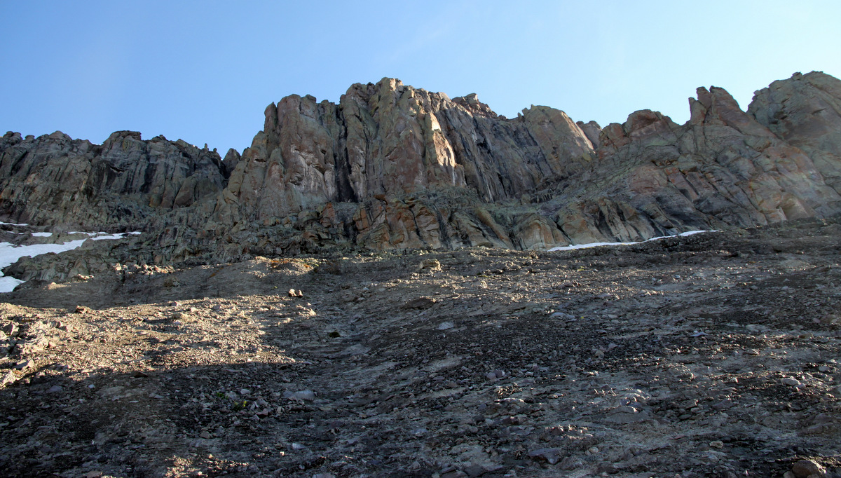
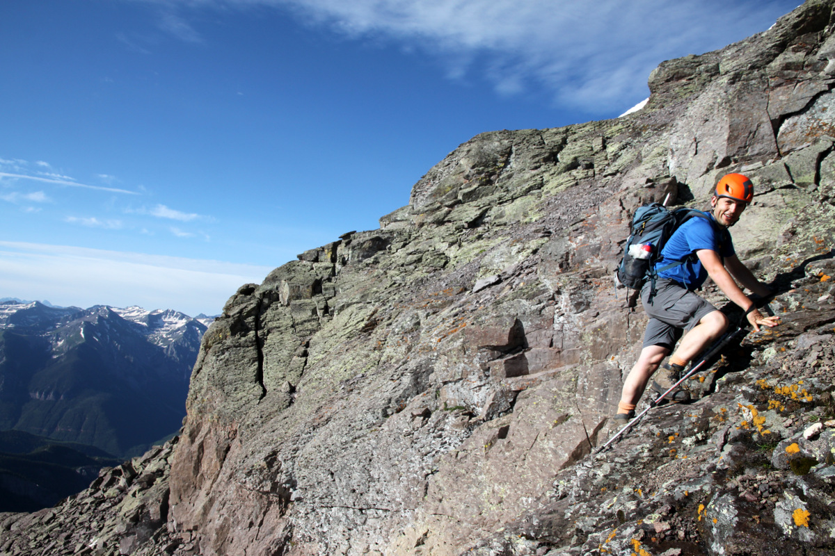
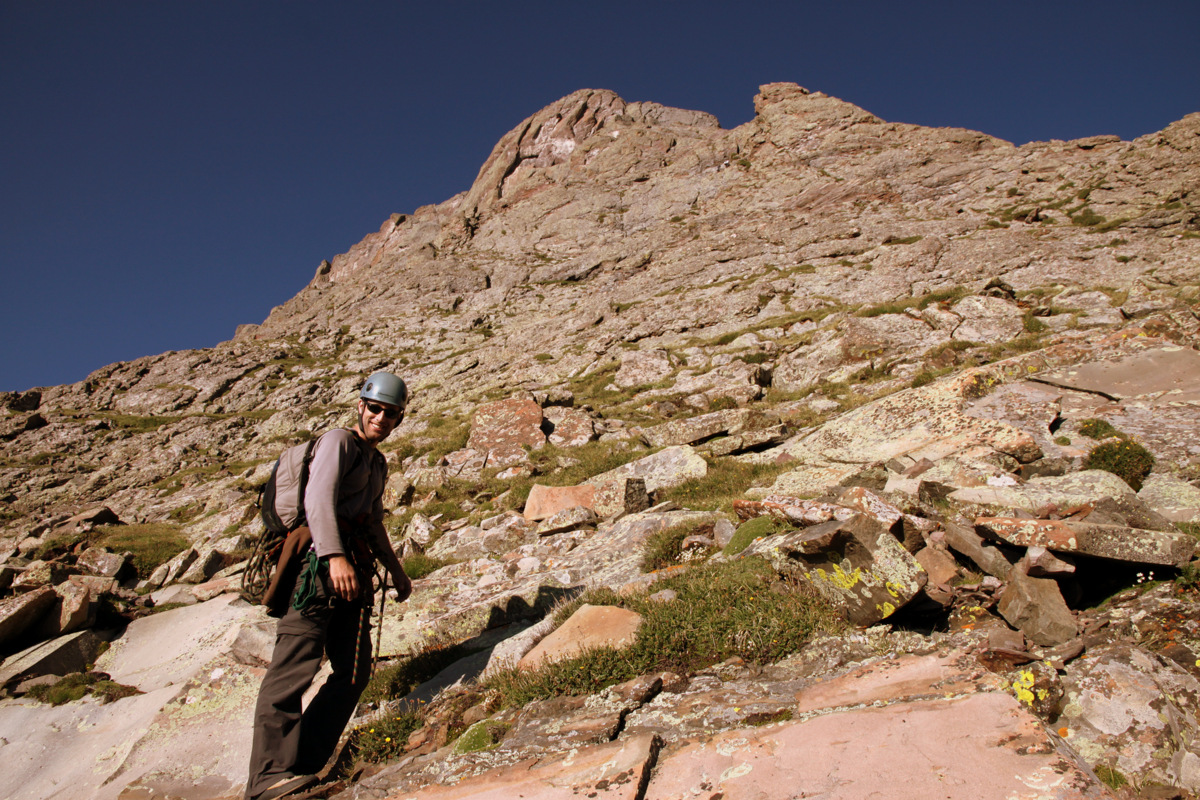
Beginning of the “direct start” to the Ellingwood Arete
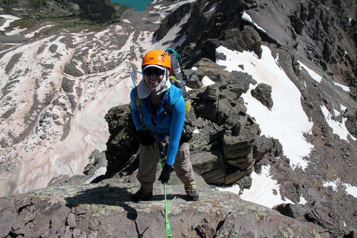
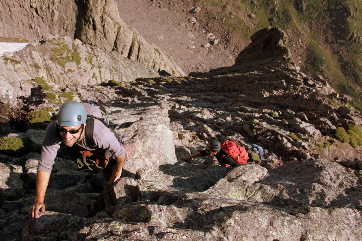
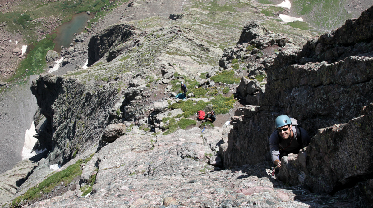
The 1st pitch’s traverse was pretty fun and likely goes at 5.6 leading into more of a 4th class/low 5th class dihedral to a decent belay ledge almost a full 60m rope length up. J led away up pitch 1 for the J/Mike team and I led this 1st pitch for the Steve/Brandon team.

J leading away on the 1st 5.6 traverse pitch
J in the dihedral on the 1st pitch after the exposed initial 5.6 traverse
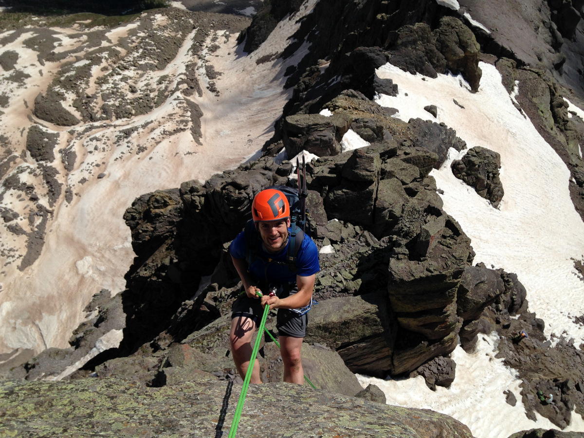
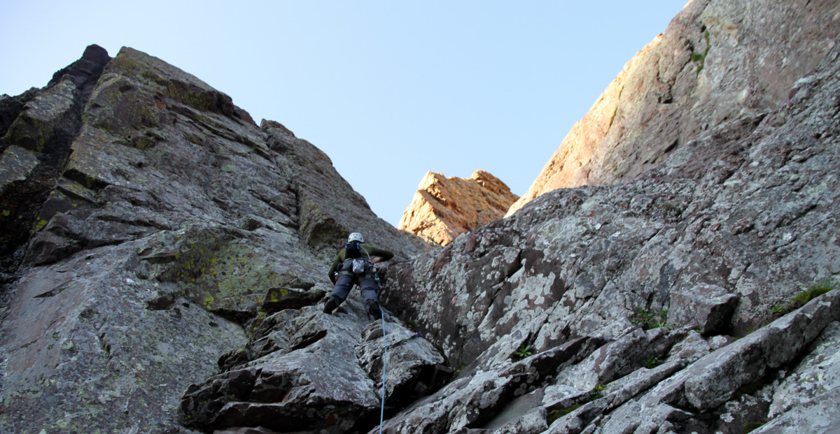
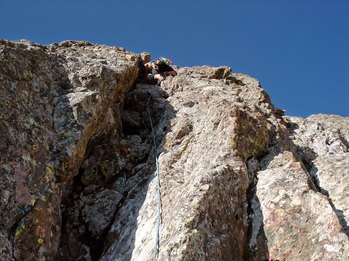
The 2nd pitch proved to be more difficult than the mid-5th class rating we have seen. The issue with the 2nd pitch is that the crack in the center of the dihedral was fully wet with water running all down it. J led around this problem area to looker’s left just beautifully and then coordinated a delicate, exposed traverse back right into the dihedral above the wet rock. Steve did a solid lead for our team after Mike followed J up again to a great belay ledge with webbing almost a full 60m rope length up.
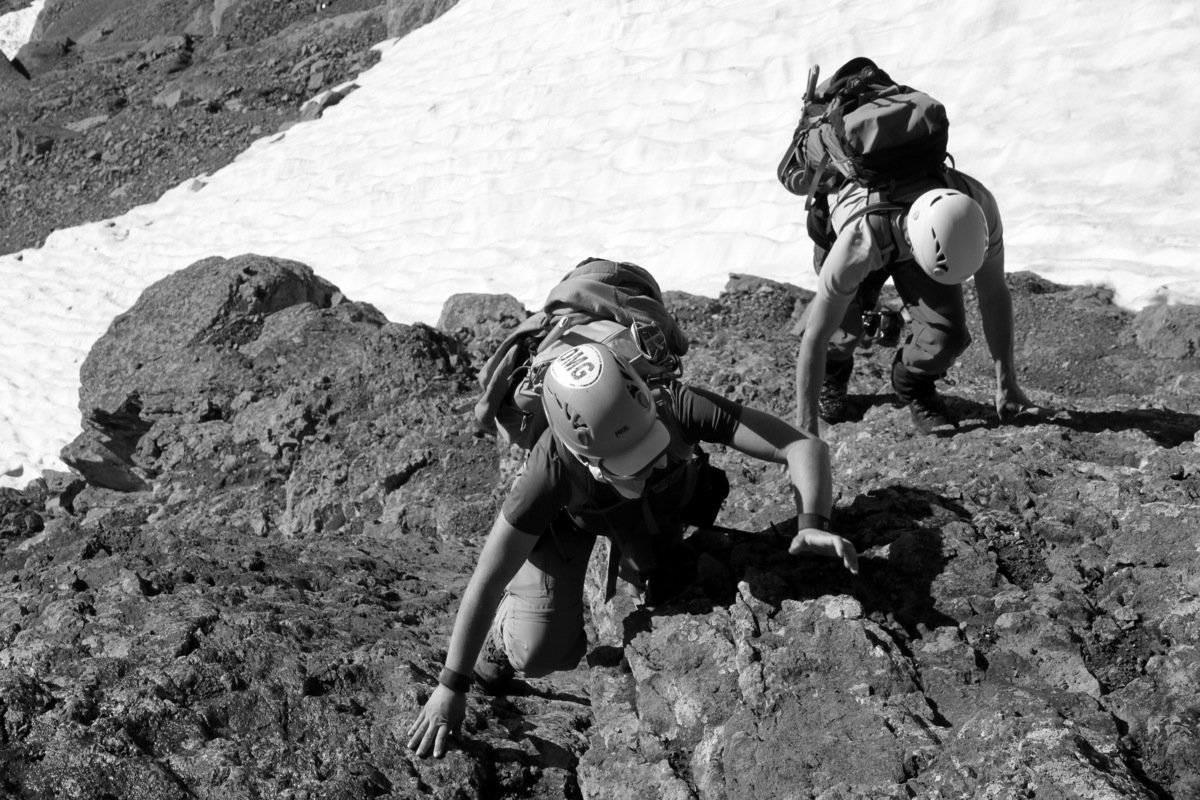
Mike following the 2nd 5.7 pitch
Steve leading the 2nd 5.7 pitch
Steve figuring out the traverse to get around the wet center crack of the 2nd pitch
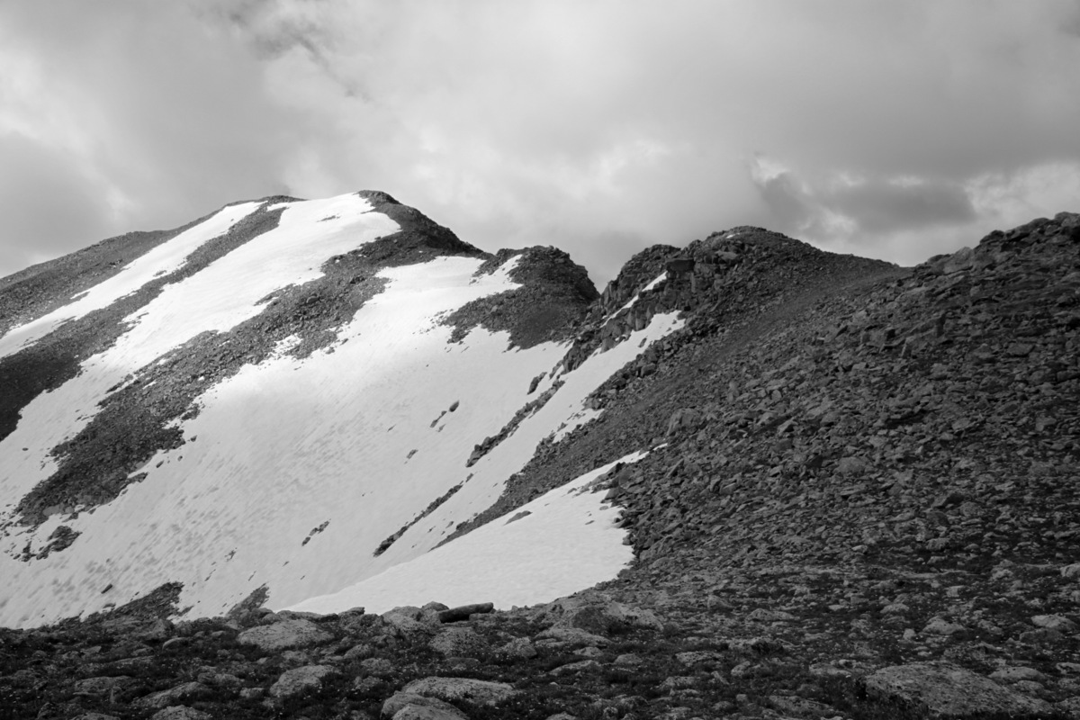
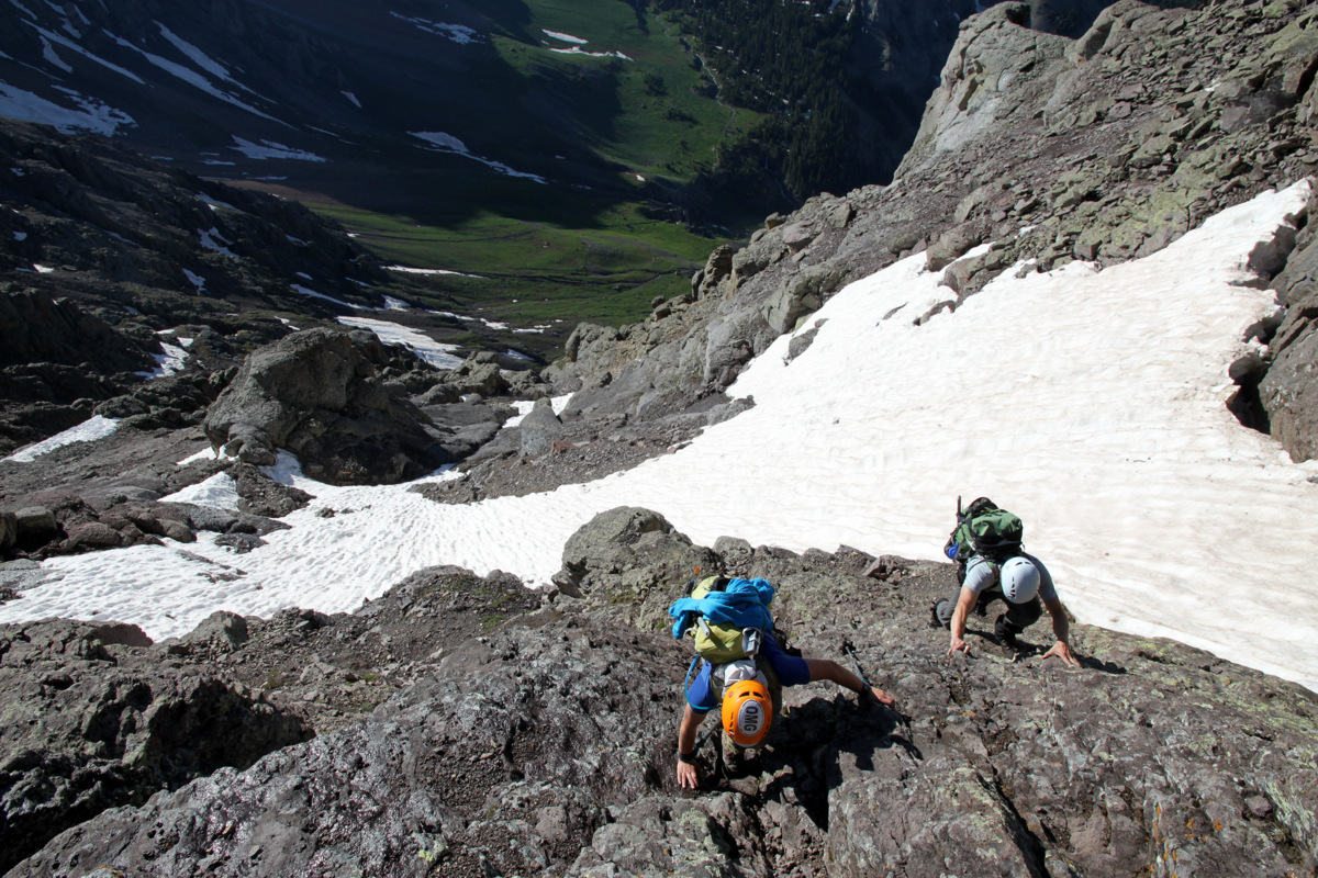
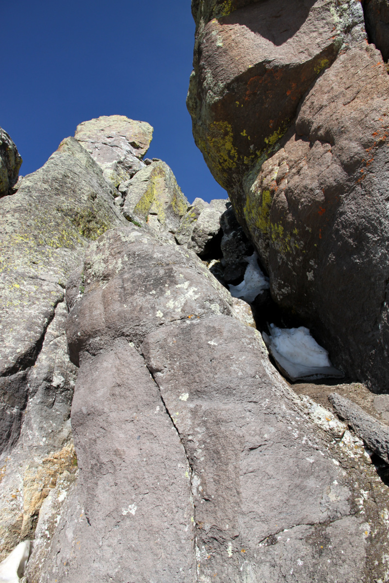
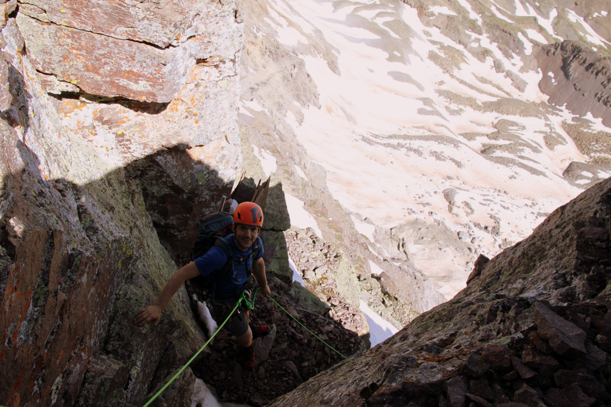
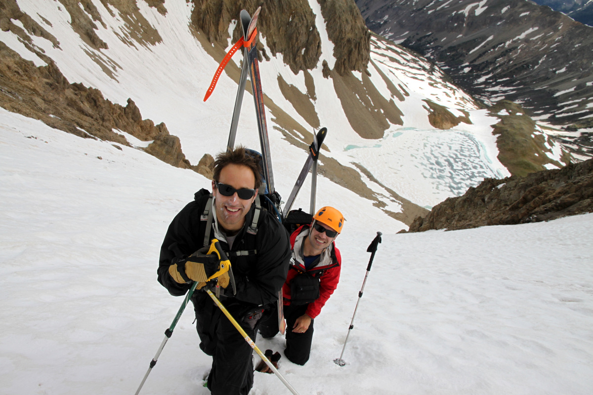
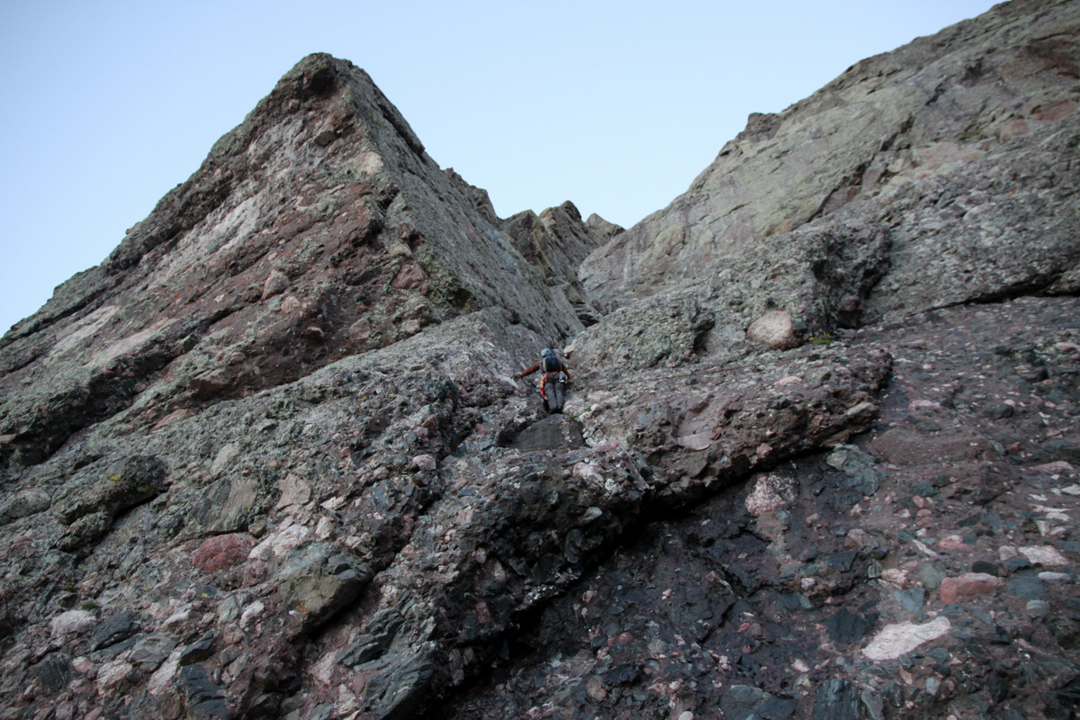
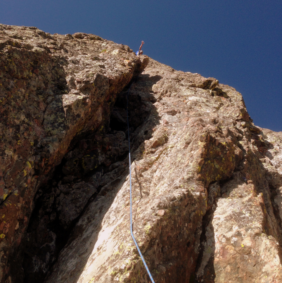
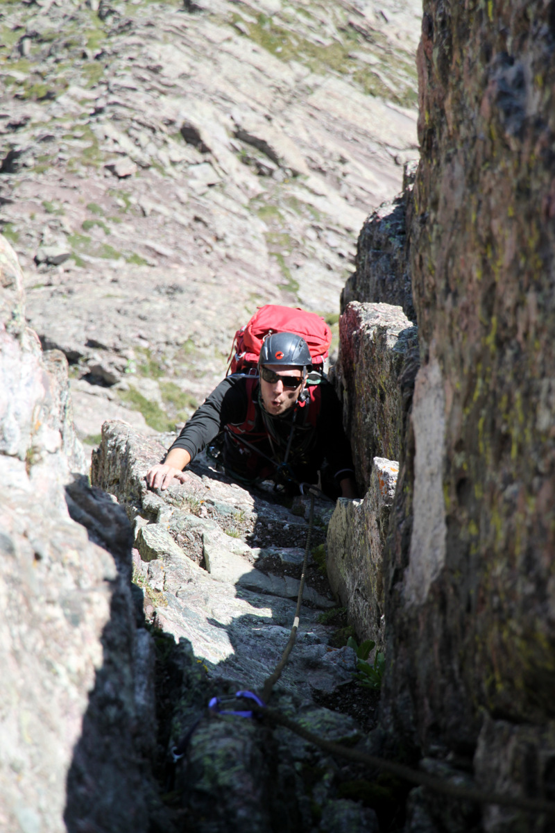
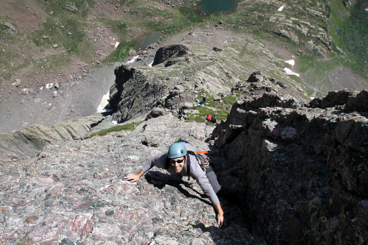
The sun had now risen and its warmth on the rock was rejuvenating. The 3rd pitch up the “direct start” was likely low 5th class and for some may not warrant a rope at all, but we were roped up nonetheless and climbed the final ledges up to much easier terrain. Now, a note on the “direct start”. While I always welcome the possibility of getting in more technical pitches, if I were to climb this route again, I may just consider climbing the class 3 “ledges” variation in lieu of the “direct start”. The rockfall is quite abundant in this several hundred foot dihedral with all of the small pebbles and rocks and it is almost impossible for the rope or one’s self not to knock down loose rocks. However, it was fun to get some more technical climbing with the “direct start”. Though, if I were behind a group already on the “direct start”, I would definitely wait until they finished climbing the lengthy dihedral to the ledges above.
Mike on the nice grass ledges above the “direct start”
J and the Ellingwood Arete (Ledges) route above
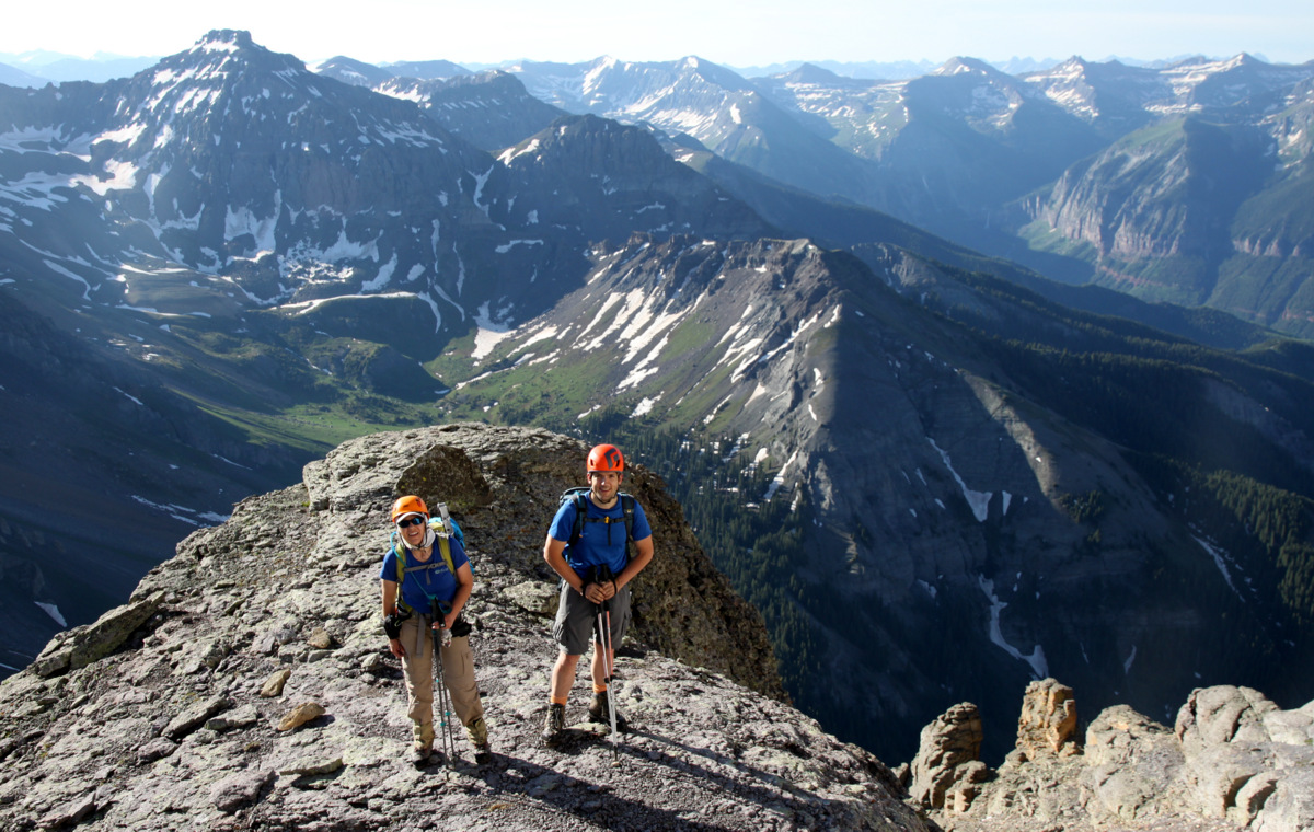
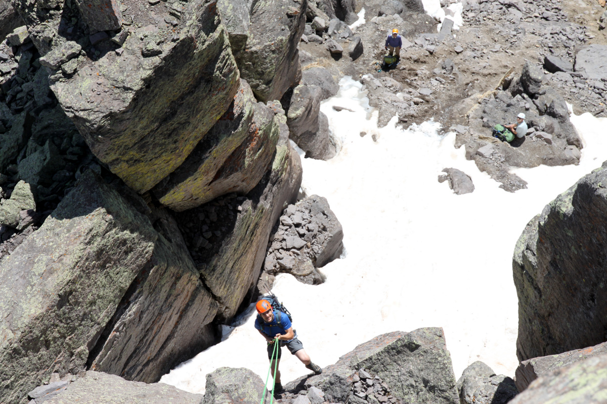
Once on the grassy ledges above the “direct start”, we stowed the ropes, switched our rock shoes for trail runners, and made our way up the class 3/4 ledges bypassing a party of two to looker’s left who had ascended the “ledges” variation.

Steve having fun on the “ledges” of the Ellingwood Arete (Ledges) route
Steve on a class 3/4 section
J and I on the “ledges”. Photo by Steve

The boys scrambling up the Ellingwood Arete proper
Me climbing the Ellingwood Arete proper. Photo by Steve
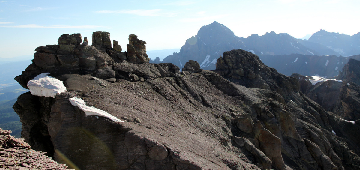
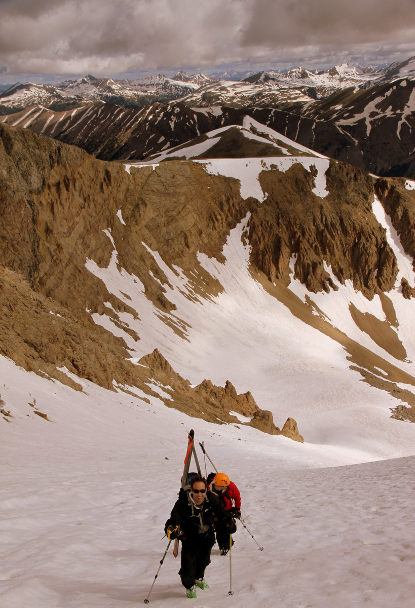
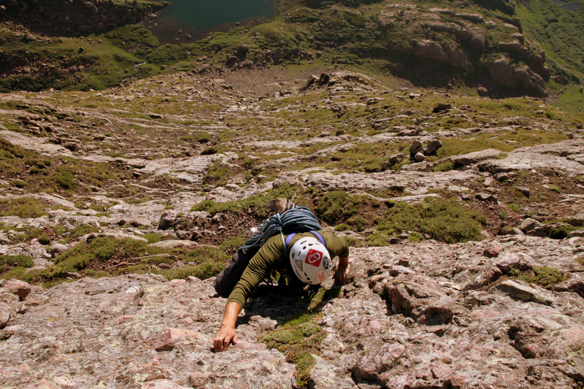
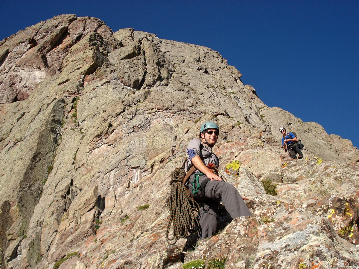
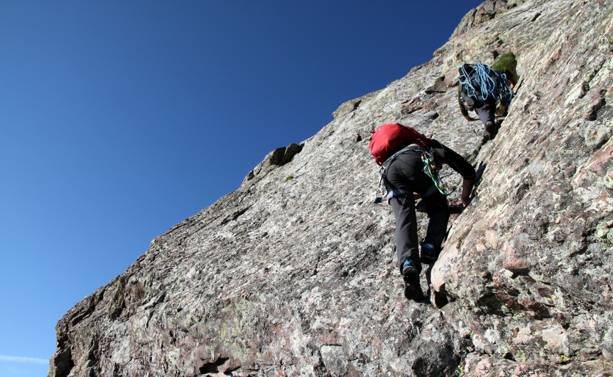
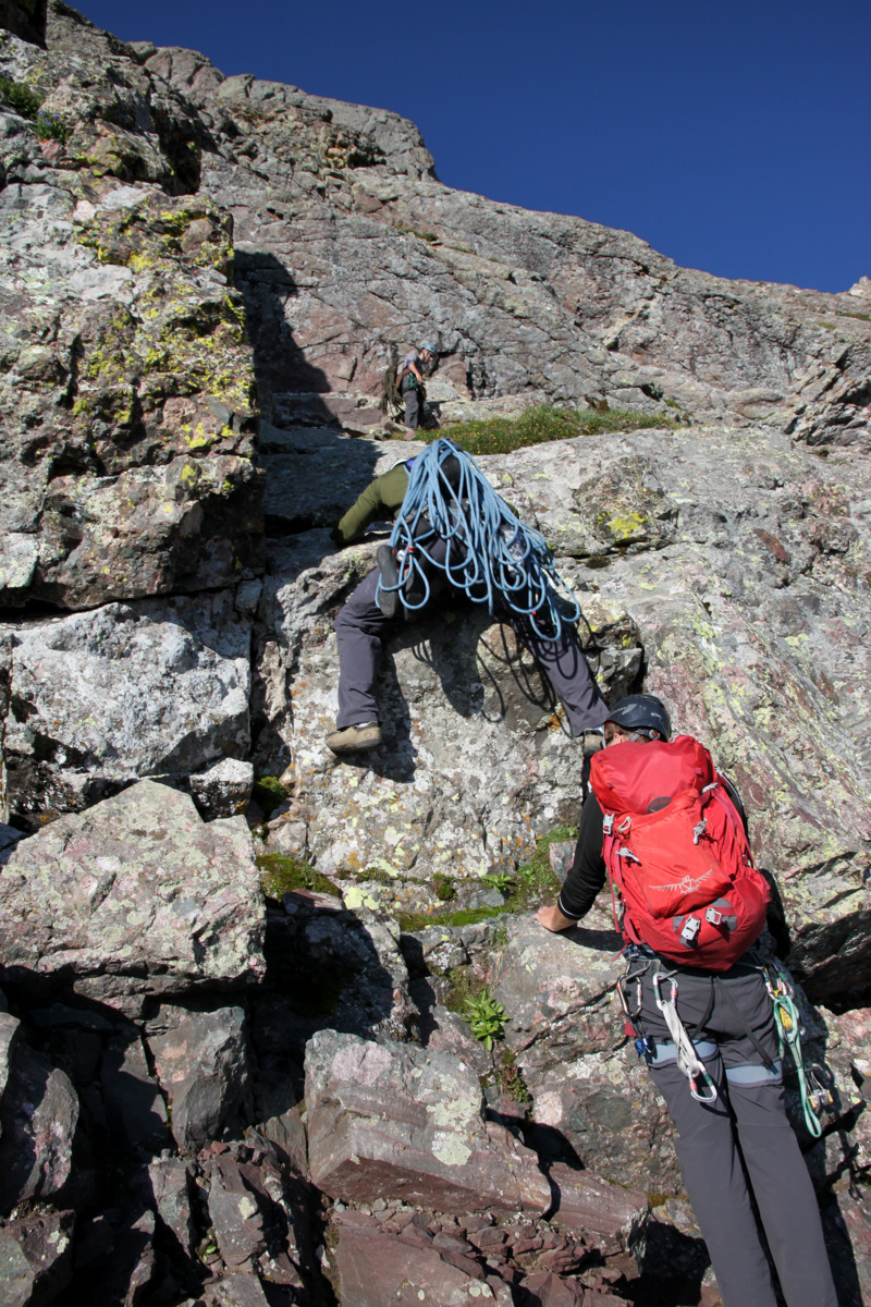
One of the highlights of this route for us was the absolutely amazing scrambling up these ledges. Even 4th class and low 5th class terrain could be found and we all had so much fun ascending this wonderful Crestone Conglomerate rock.
Mikey & Steve on some low 5th class nearing the base of the 5.9 crack system
Mantling a big step
J on a nice perch this beautiful morning

The 5.9 & 5.7 pitches up ahead getting closer
Looking south to Broken Hand Peak and beyond
Really fun scrambling
J and the 5.9 crack with the moon above

Scrambling doesn’t get much better than this

Mikey & Steve
Steve styling high above Upper South Colony Lake
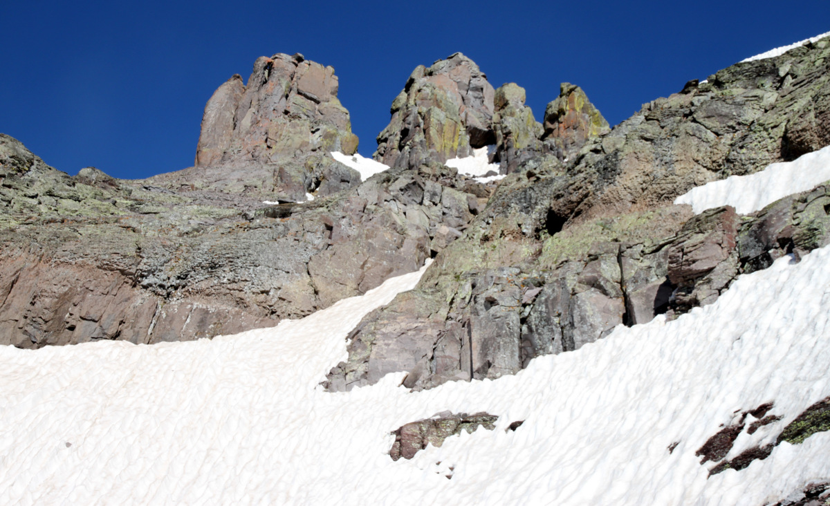
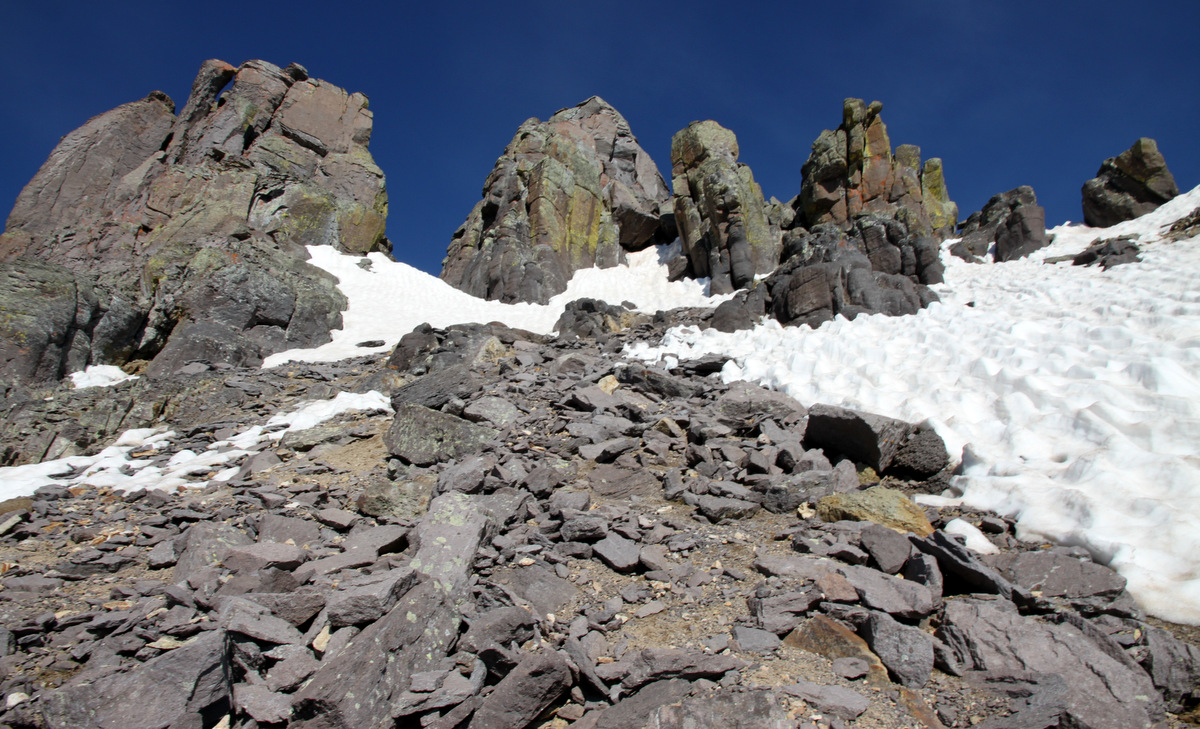
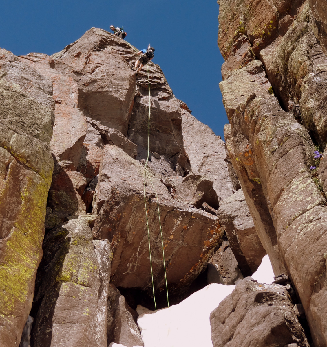
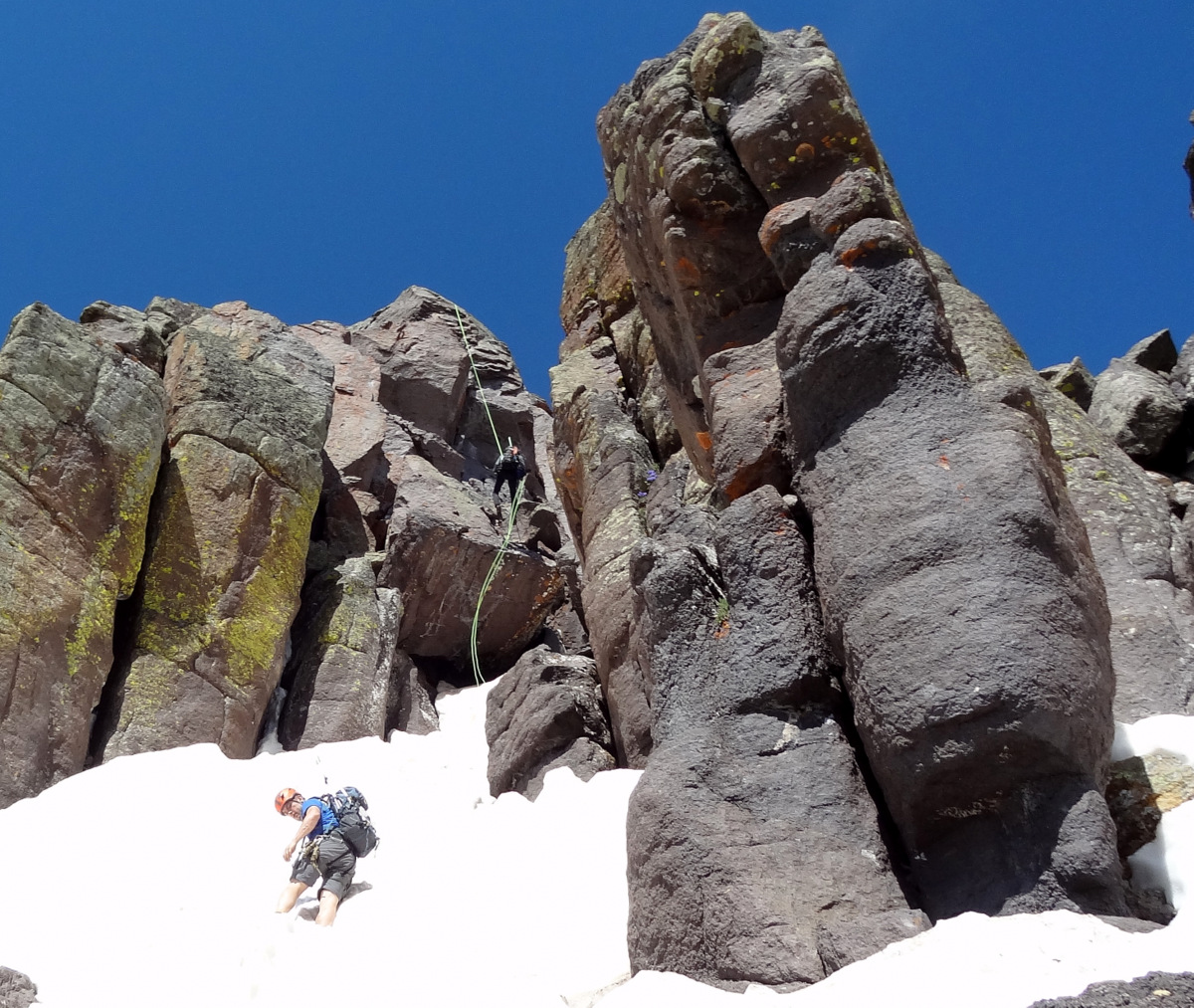
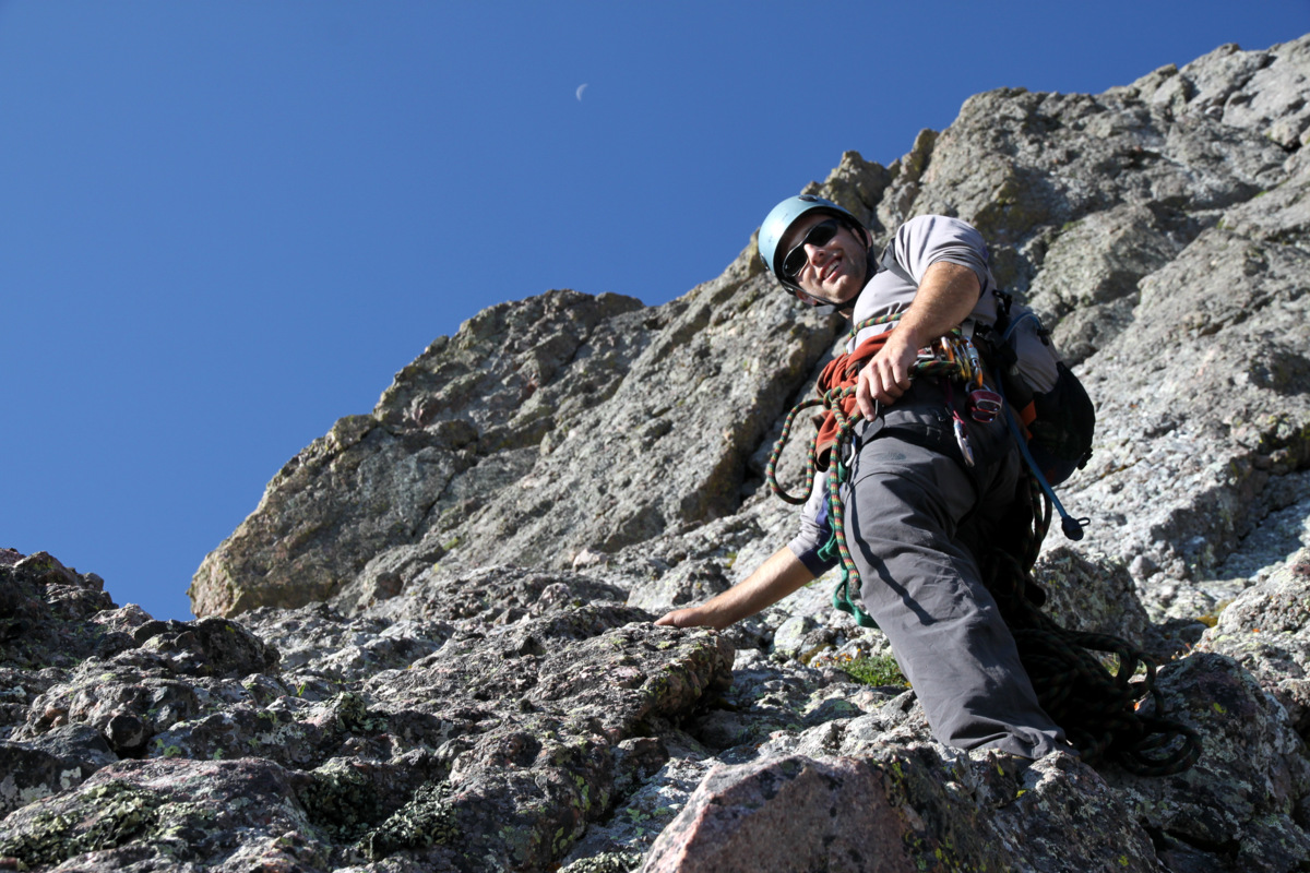
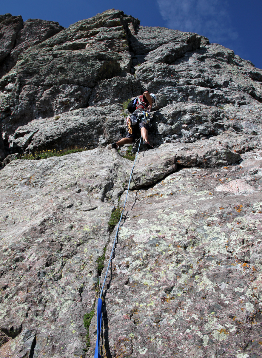
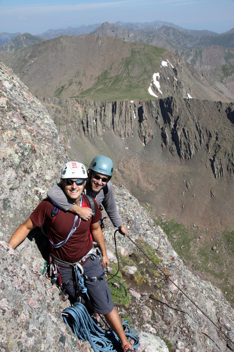
After some low 5th class scrambling up a mini-headwall, we reached the base of the 5.9 crack system. The 5.9 crack looked like so much fun and I was excited to lead this pitch. There is a mellower variation, which may be the more “standard” route, to looker’s right of the direct 5.9 crack. This arcing “standard” crack goes at about 5.6, I believe.

The 5.9 crack variation dead center of picture with the arcing standard 5.6 crack system to looker’s right
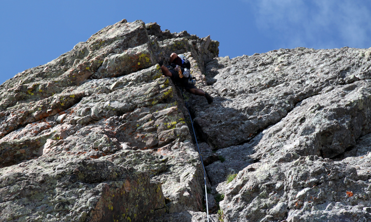
We donned our rock shoes once again, racked up, and Steve put me on belay. The climbing was absolutely awesome with great gear placements and really fun movements. I guess one piece of advice for this pitch is to bring plenty of slings. I had five slings on me and used them completely up. I could have used another few slings. Also, a #3 and #4 cam was helpful in the upper portion of the pitch.
Me leading the really fun 5.9 crack. Photo by Steve
Me leading the fun 5.9 pitch. Photo by J
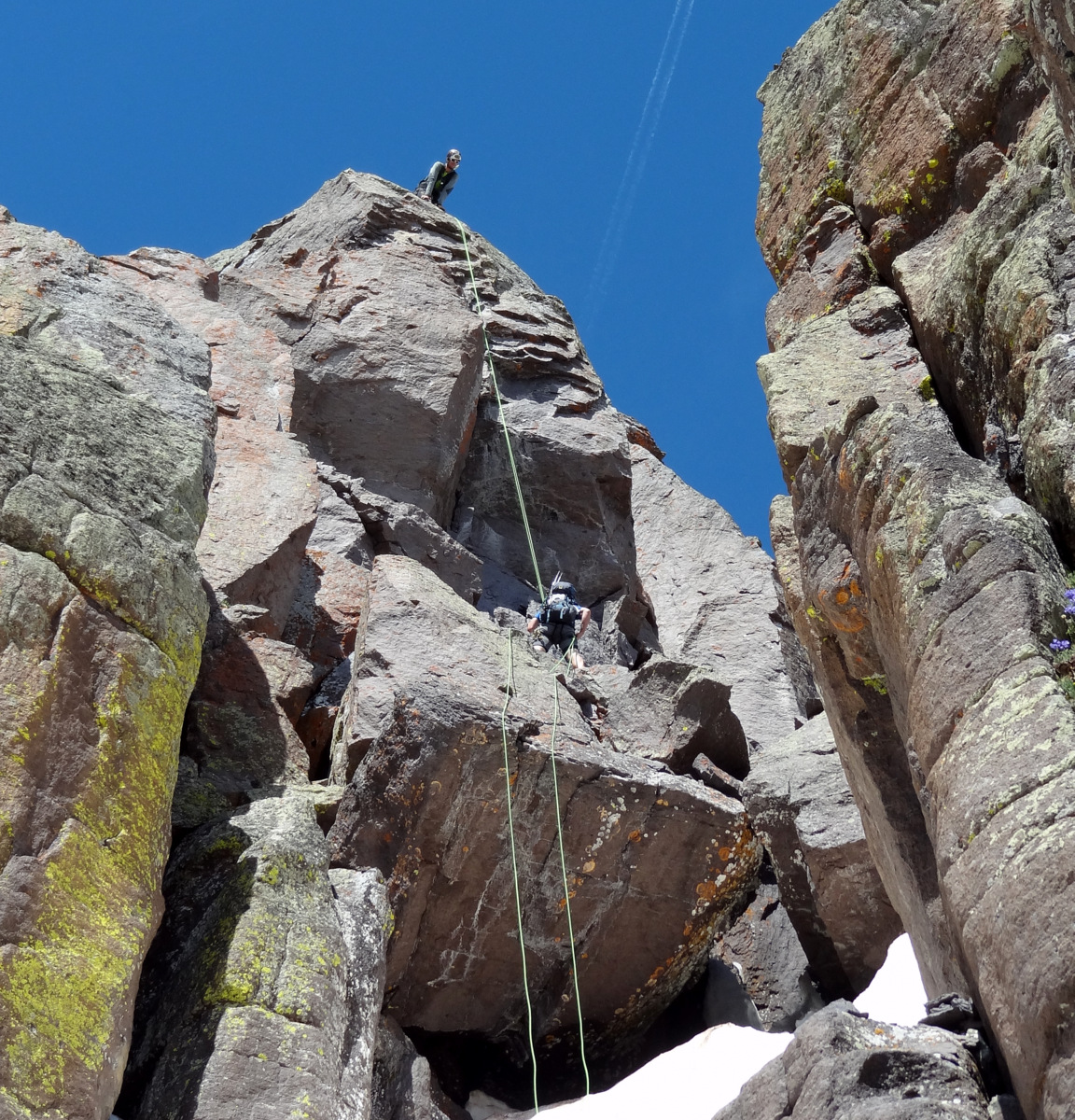
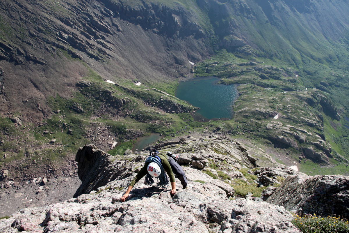
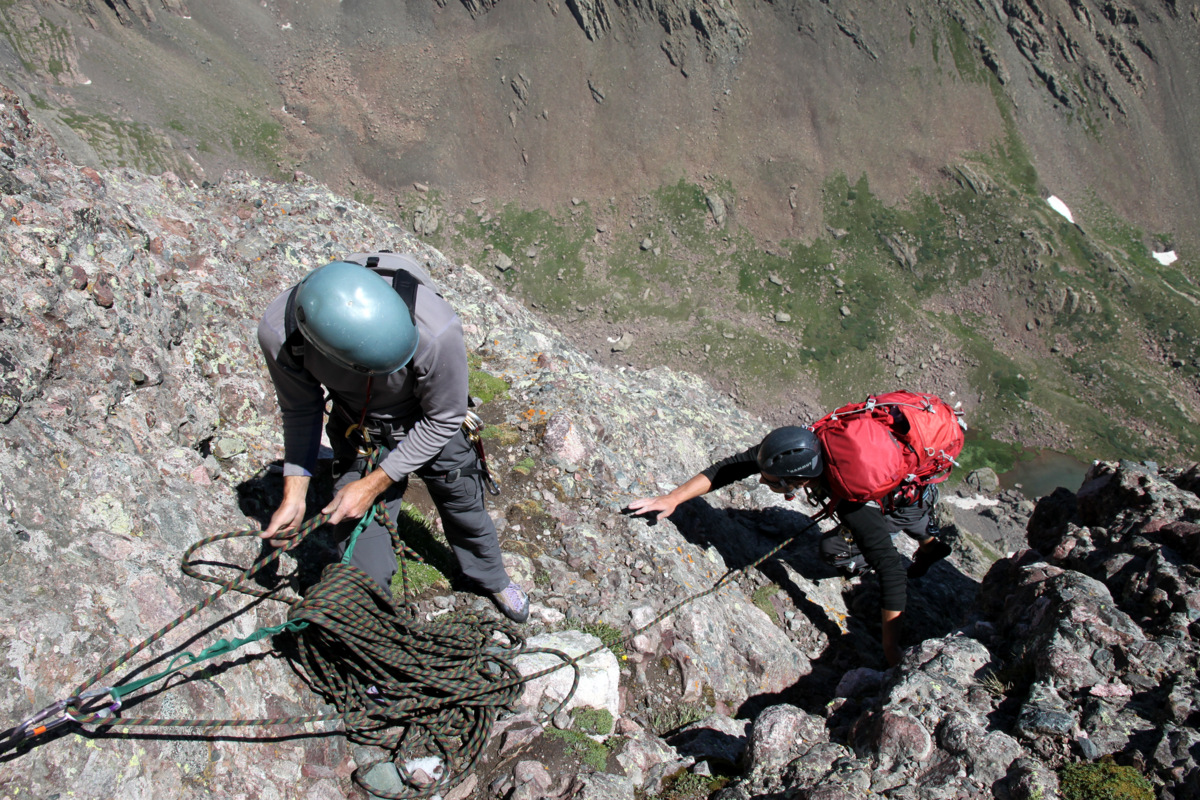
It was a lengthy pitch as I only had about 5m left of my 60m rope when I topped out on the belay ledge. I knew the boys would have so much fun climbing this pitch. I would say the pitch is easy 5.9 (5.9-) at most, though at 14,000′ any technical climbing is not exactly “easy”. Steve had our pack and cruised the pitch as I belayed him up to me. J was right on Steve’s heels clipping my gear as he climbed and led the pitch beautifully.
J is below me here at the belay ledge for the 5.9 crack system
J then belayed Mikey up the pitch who was hauling the backpack for J and Mikey.
J belaying Mikey up the long lengthy 5.9 pitch
Me looking down on J belaying Mikey up the 5.9 crack
Mikey finishing up the 5.9 pitch
The belay ledge was more than spacious and we climbed up another 10′ to the base of the final 5.7 pitch. The 5.7 pitch above looked amazing. Steve grabbed the rack, I put him on belay, and he was off on what we dubbed his “birthday pitch”.

Steve set to lead the final pitch up the awesome 5.7 crack
Steve sewing it up
Steve spread-eagle on the final pitch

Steve on his “birthday pitch”

Me belaying Steve up the final 5.7 pitch with a beautiful backdrop to the north. Photo by J
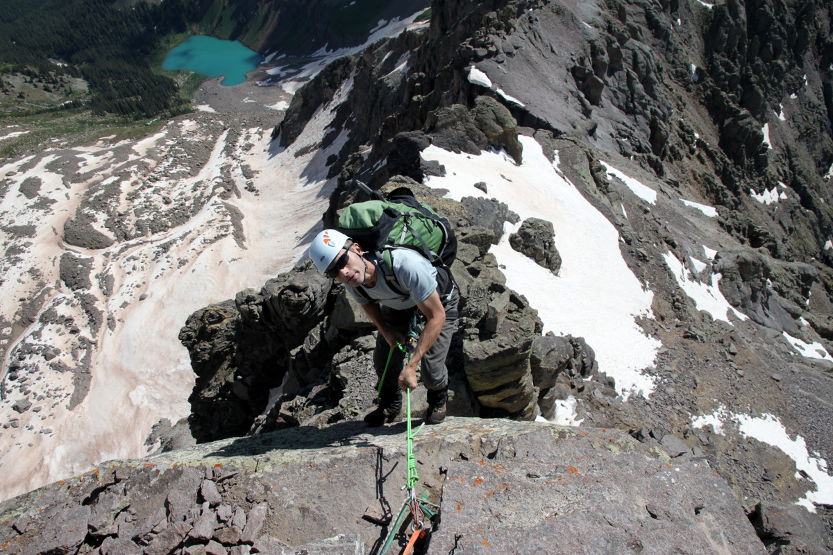
It was a great lead for Steve and soon I was following the pitch with the always burdensome backpack on my back. I was able to snap some pics of J leading the final pitch as I climbed ahead of him.
J on the final 5.7 pitch with Mikey belaying him below. The other party of two can be seen below Mike belaying up the standard 5.6 arcing crack pitch
J loving life
J finishing the final pitch off
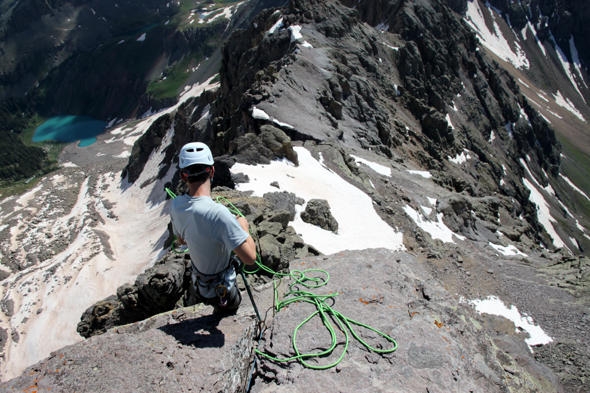
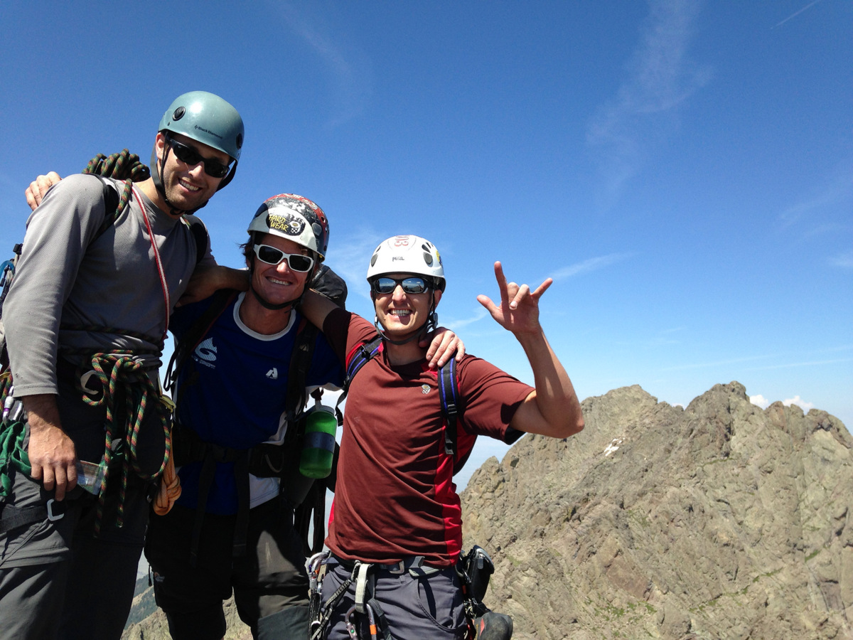
Another spacious belay ledge was at the top of the final 5.7 pitch and we all re-grouped there, stowed the ropes, and prepared for the final class 3 scramble to the Needle’s summit.
Steve & J at the top of the final 5.7 pitch
Crestone Needle’s version of the “Great Roof”
Mikey topping out

The boys at the top of the final 5.7 pitch

Mike & Steve on the fun scramble to Crestone Needle’s summit
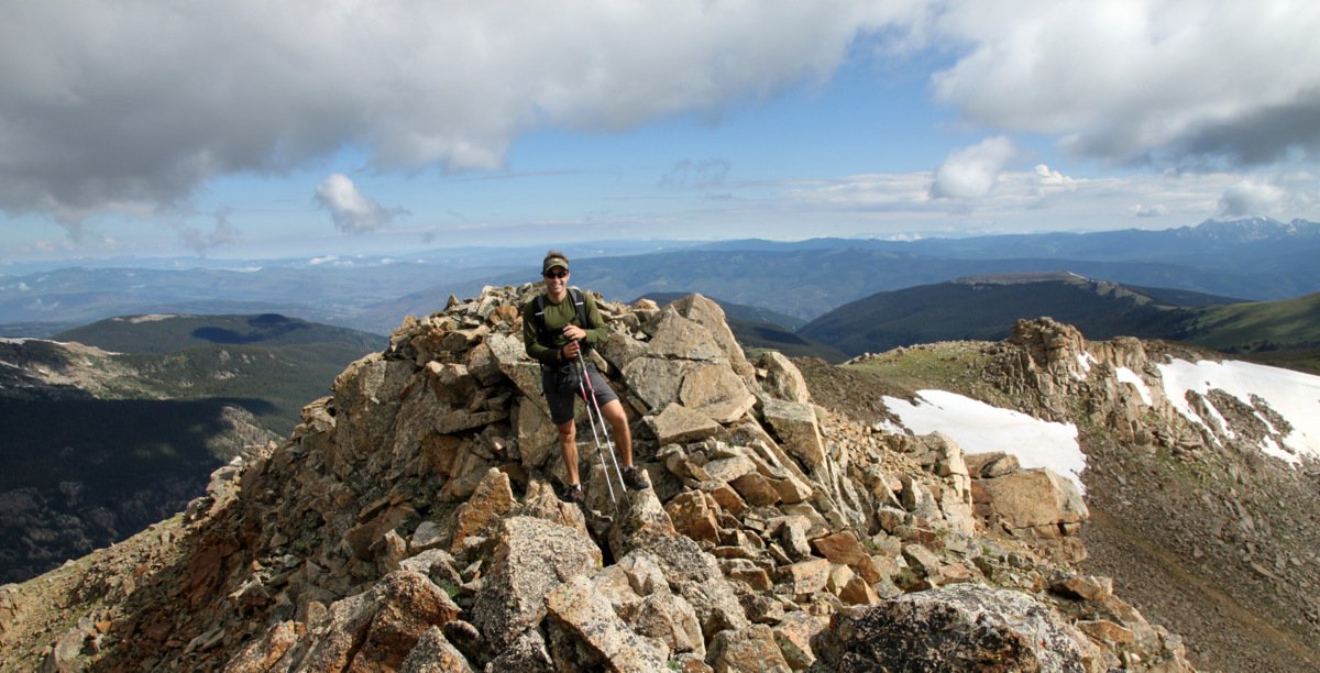
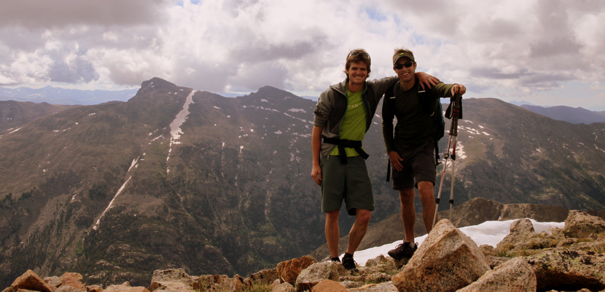
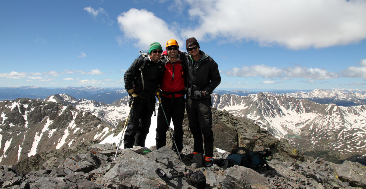
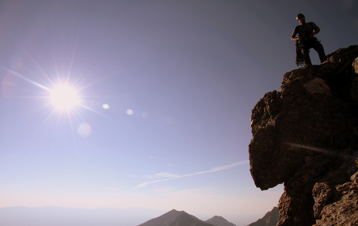
A few minutes later around 10:30am we were standing on the Needle’s summit enjoying the views and basking in the warmth of the sun. There was so little wind that the shirts came off to get a little sun on our pale torsos.
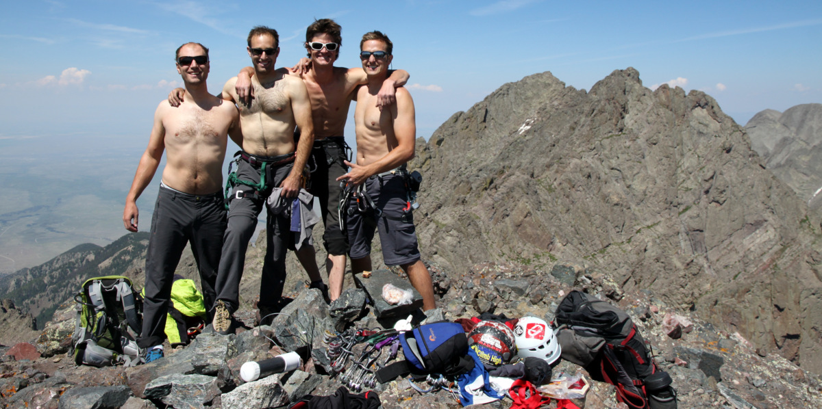
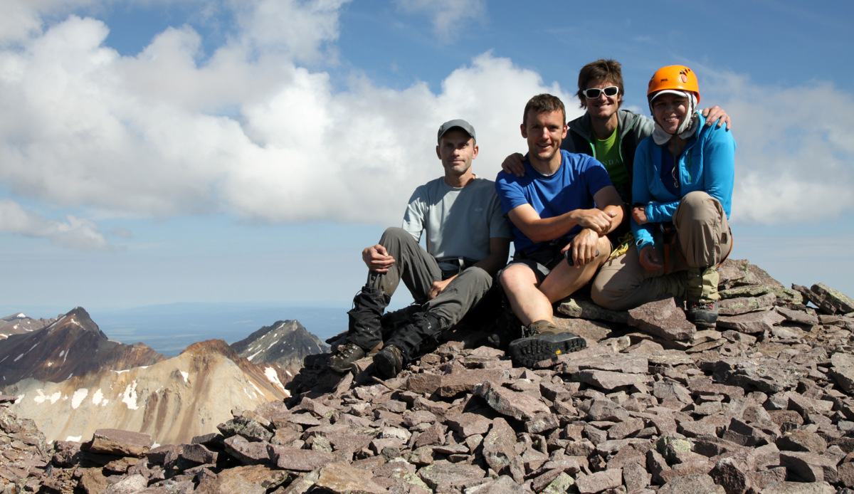
Crestone Needle summit (14,197′)
J, myself, & Steve on the Needle’s summit with Crestone Peak in the distance
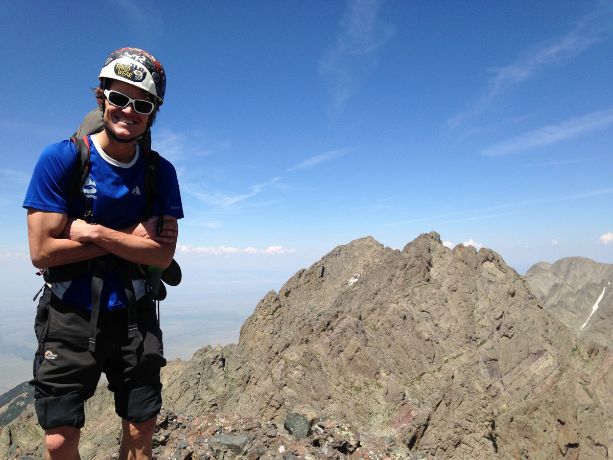
My 4th summit of Crestone Needle and the best yet!
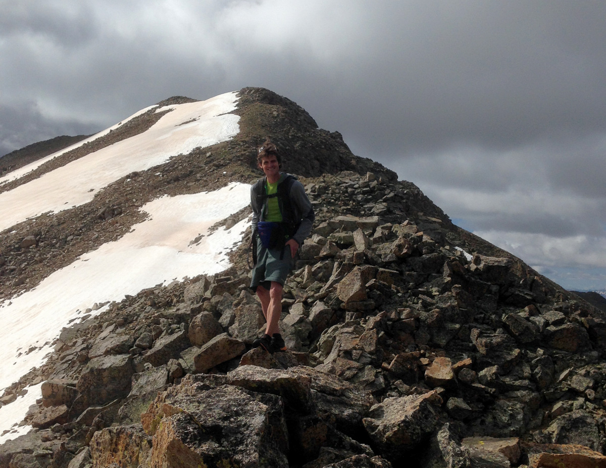
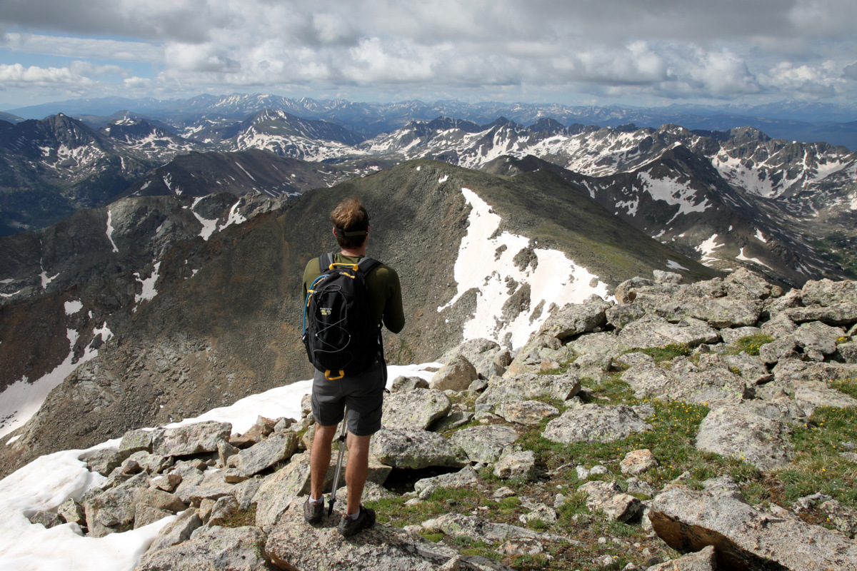
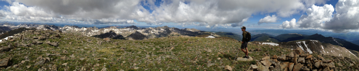
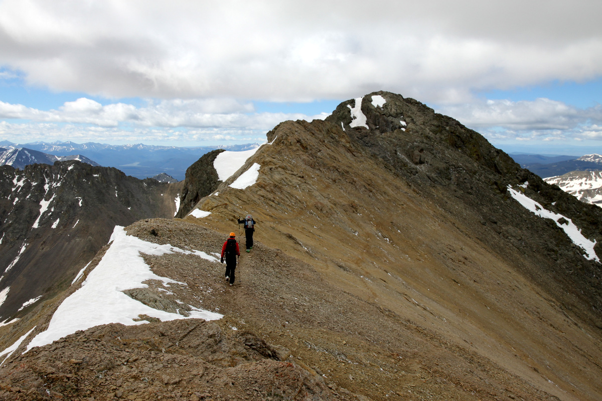
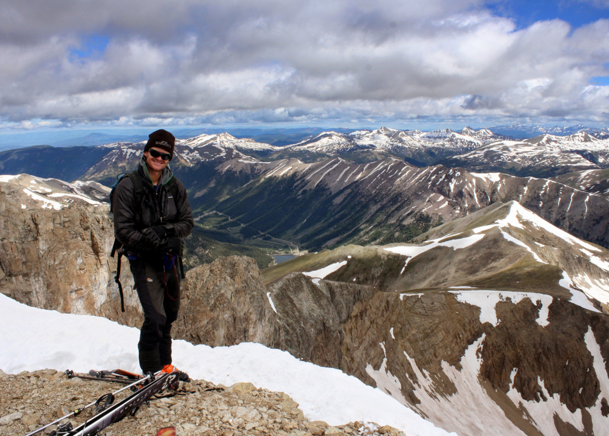
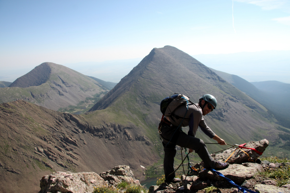
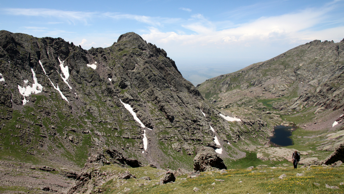
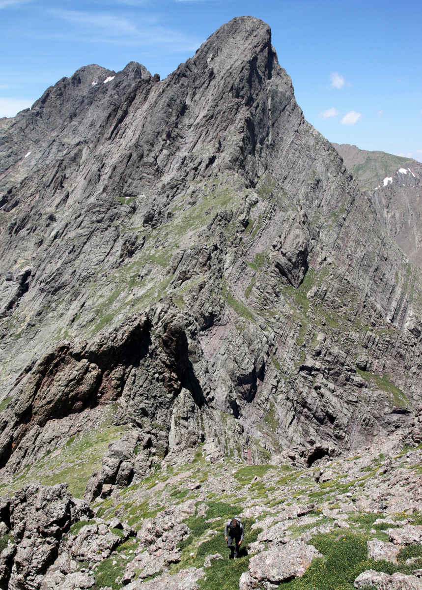
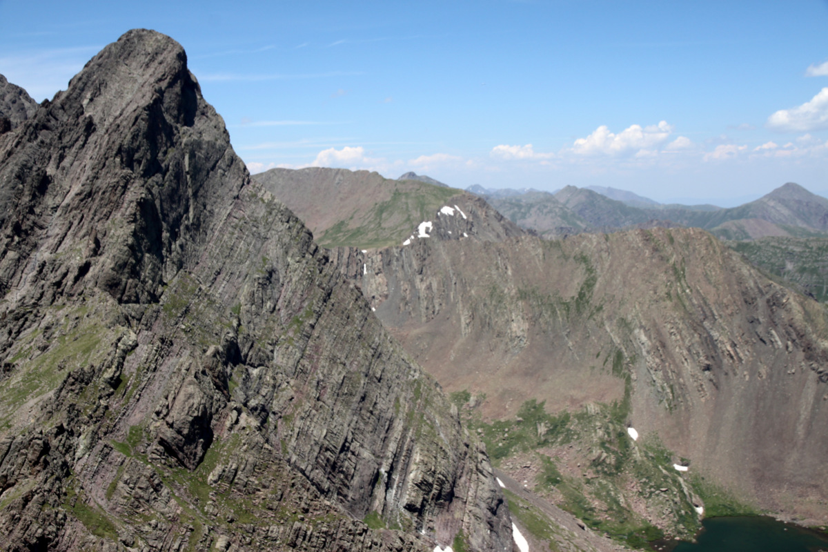
We met two fellows from Gunnison drinking beer on top who are trying to hike all of the 14ers in their Chaco sandals. Really funny guys and we enjoyed conversing with them. We then swapped out our rock shoes for trail runners, stowed our harnesses, rack, and ropes, and descended Crestone needle’s standard east gully. Ever since I first climbed Crestone Needle via its standard south face route, I have always ascended/descended the east gully all the way to the summit ridge. I have never done the crossover to the west gully for whatever reason. There is just too good of scrambling to be had in the east gully directly to the summit ridge. The down-scrambling ceased all too fast and we soon found ourselves back at the top of Broken Hand Pass around noon. I had been wanting to hike the 13er Broken Hand Peak (13,573′) and so J joined me for the 700′ from the pass up the mellow northwest slopes to its summit.
J ascending Broken Hand Peak with Cottonwood Lake and Crestolita (13,270′) behind
J hiking up Broken Hand Peak’s north slopes with Crestone Needle behind
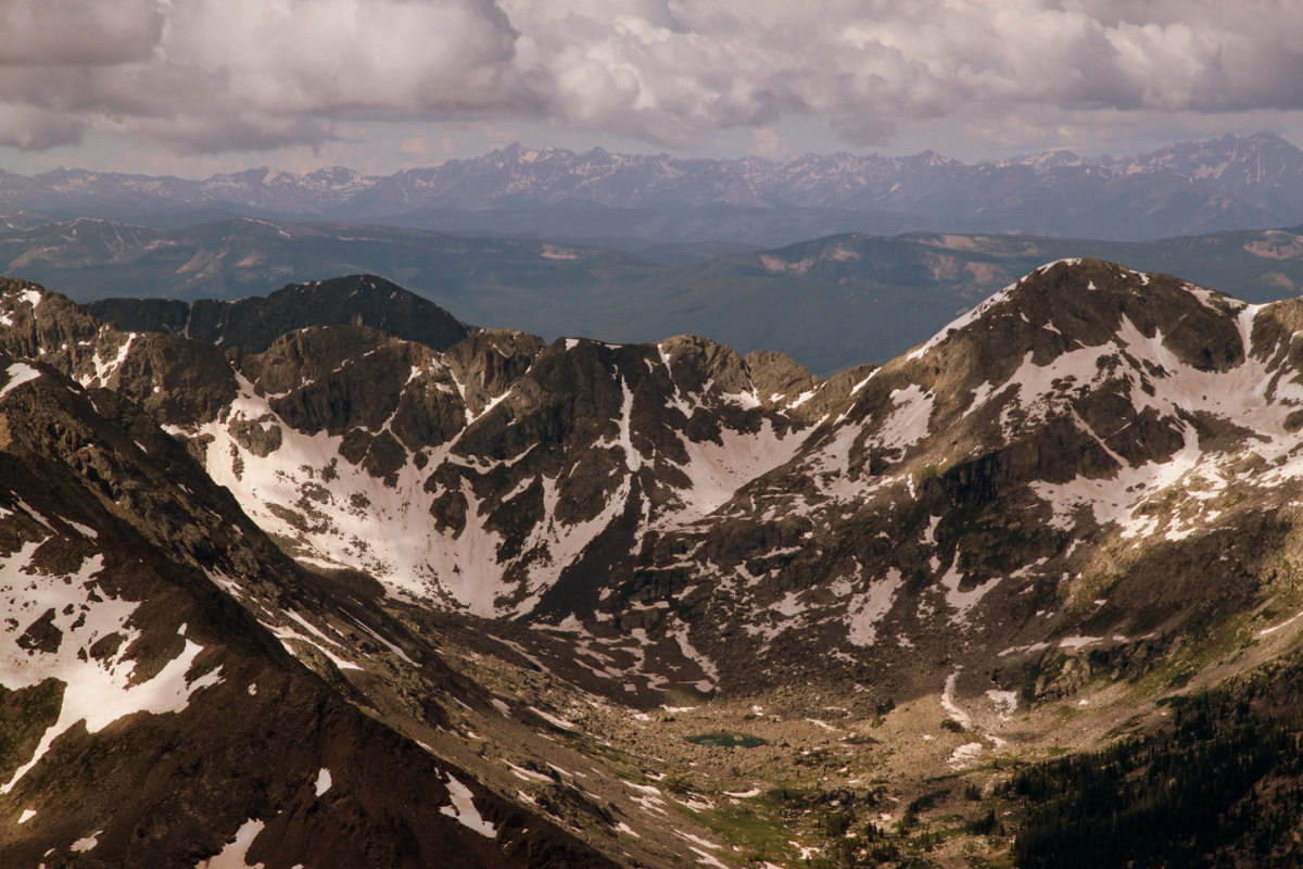
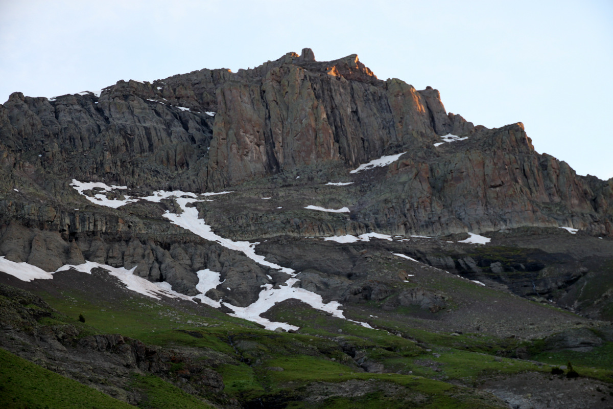
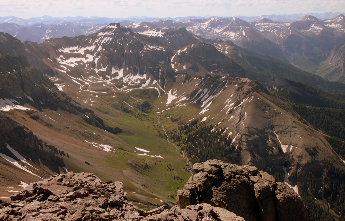
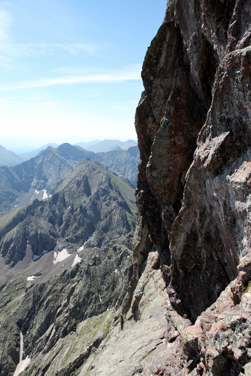
I really wanted to get a close-up view of the Needle and the Ellingwood Arete’s profile and the views sure didn’t disappoint.
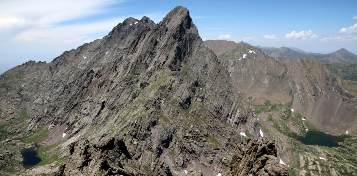
The Needle is such a stunning peak, especially from this angle on top of Broken Hand Peak
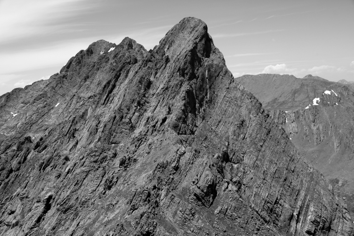
Crestone Needle
Profile of the Ellingwood Arete up the Needle
We descended back to Broken Hand Pass, picked up our gear and rope, and headed on down to Lower South Colony Lake to find Steve fishing and Mikey napping. After a quick dunk in the lake, which always feels rejuvenating, we packed up camp and backpacked back to my truck. Arriving back in Westcliffe around 5pm, we had a long drive ahead of us. But, as always we stopped at my favorite dinner restaurant in Buena Vista, Casa del Sol, for awesome authentic Mexican cuisine. Yum. We arrived back home around 10pm, but great adventures in the mountains are always so worth it the late night arrival. Thanks to J, Steve, & Mikey for a very memorable day on a classic route.
 Follow